Cima Rosetta San Martino di Castrossa
mittel
Hol diese Tour auf dein Handy
Cima Rosetta San Martino di Castrossa
mittel
Wanderung
12,04
km
QR-Code scannen und Navigation in der bergfex App beginnen

Wandern & Tracking


Cima Rosetta San Martino di Castrossa
mittel
Distanz
12,04
km
Dauer
03:28
h
Aufstieg
157
hm
Seehöhe
1.510 -
2.701
m
Track-Download
Cima Rosetta San Martino di Castrossa
mittel
Wanderung
12,04
km
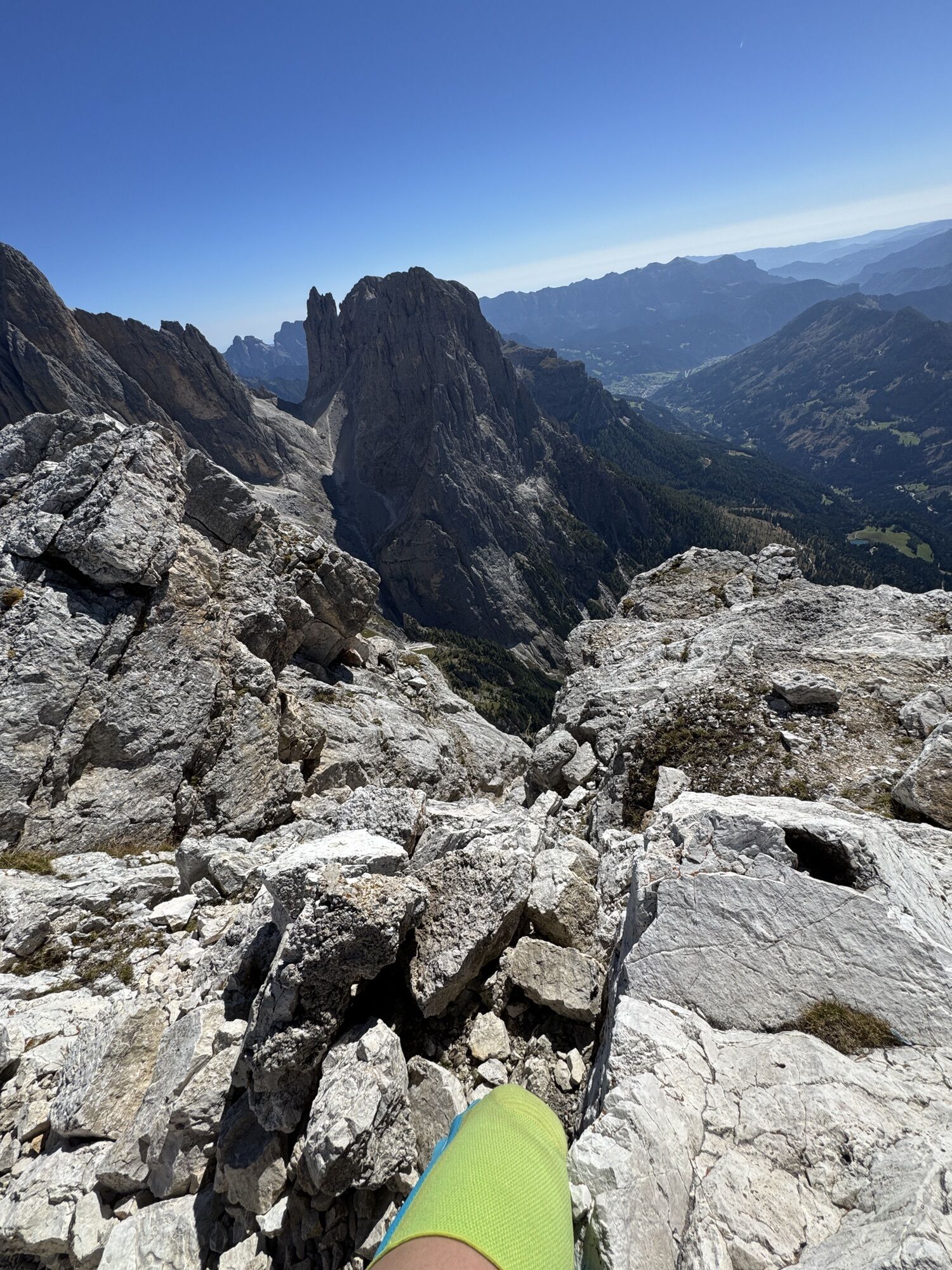
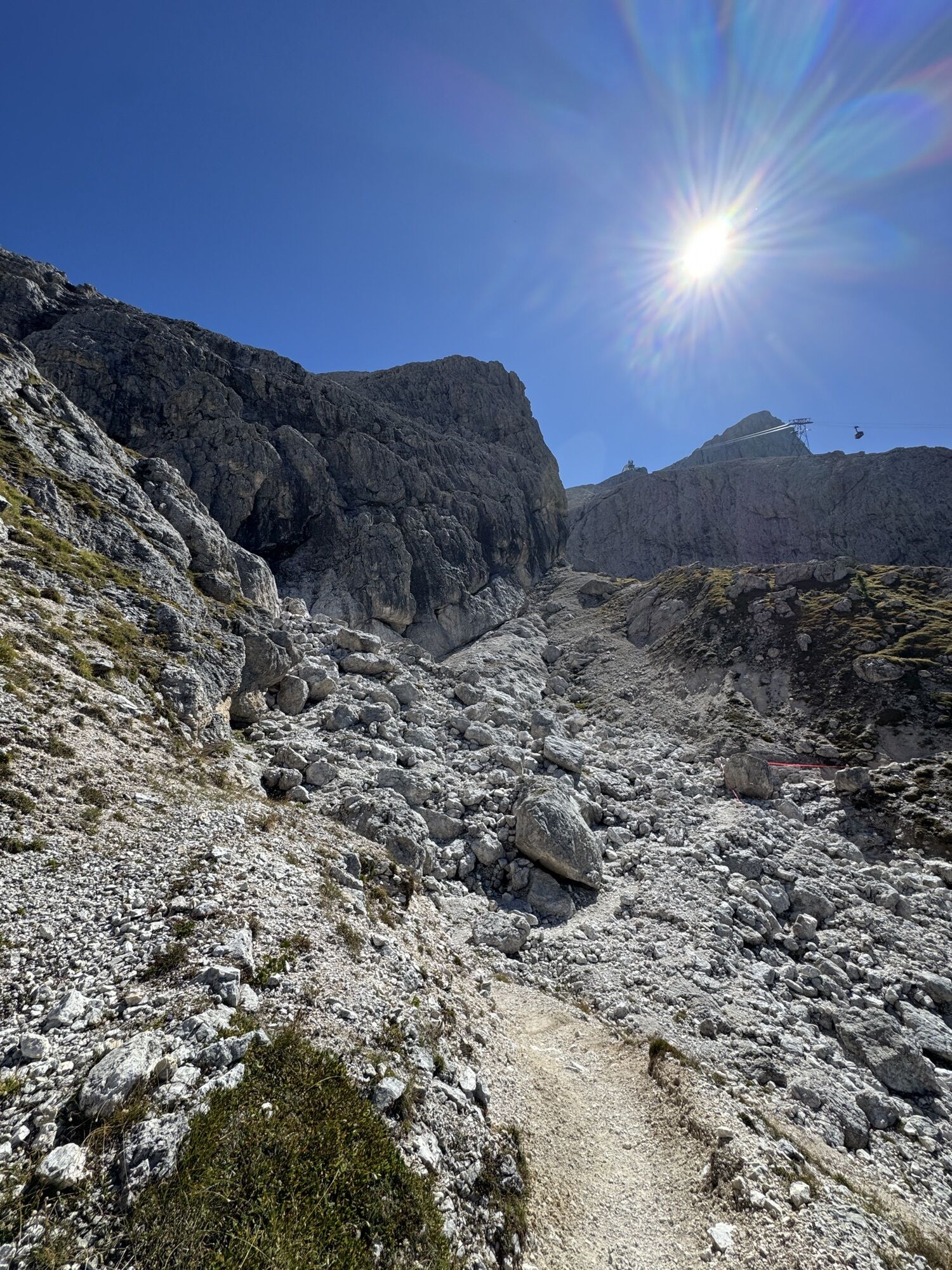
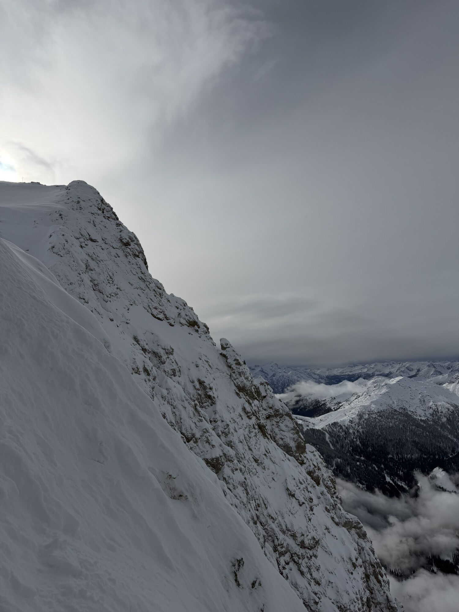
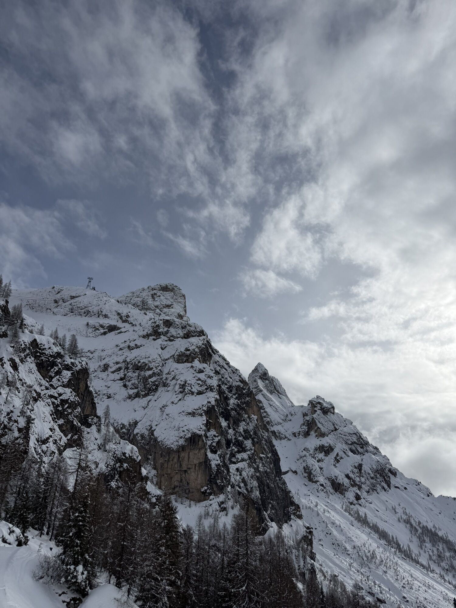
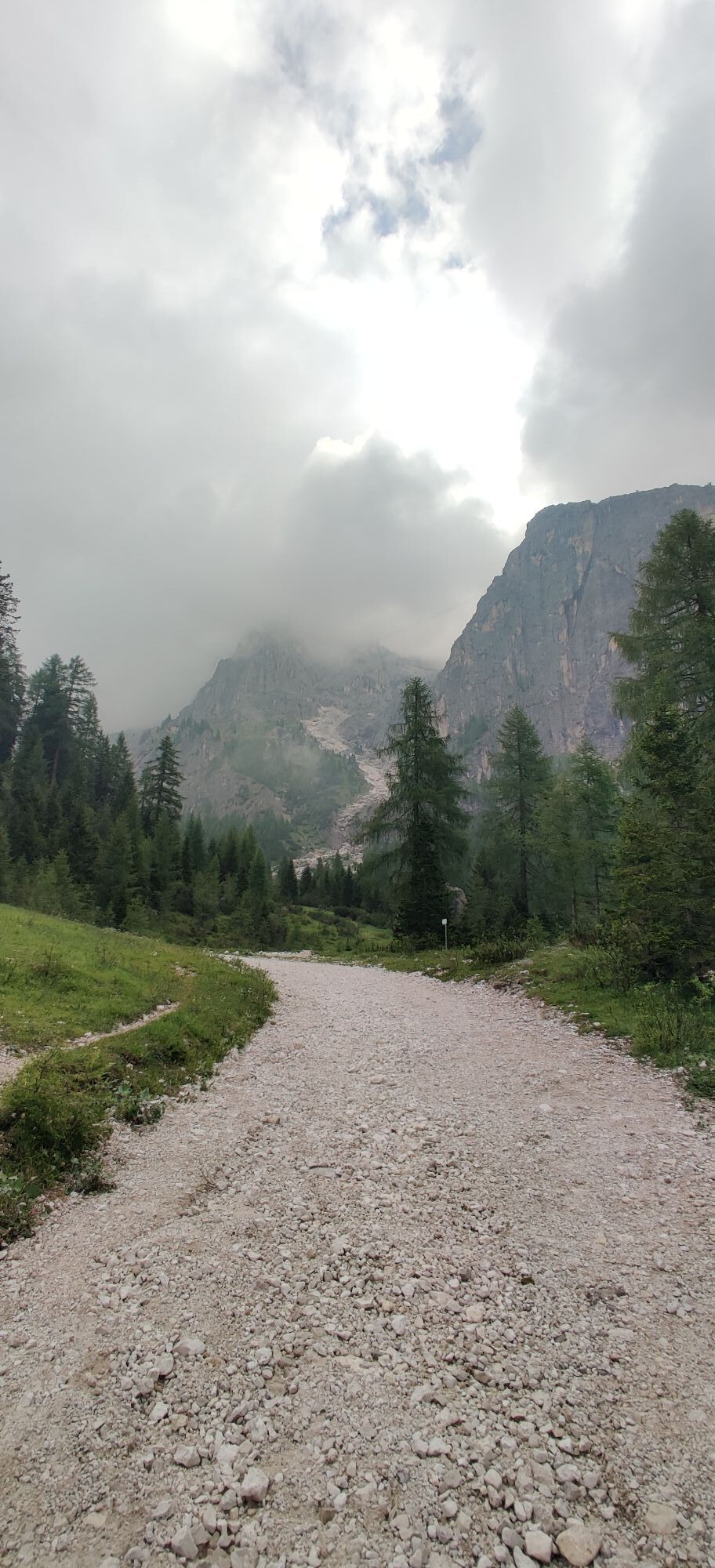
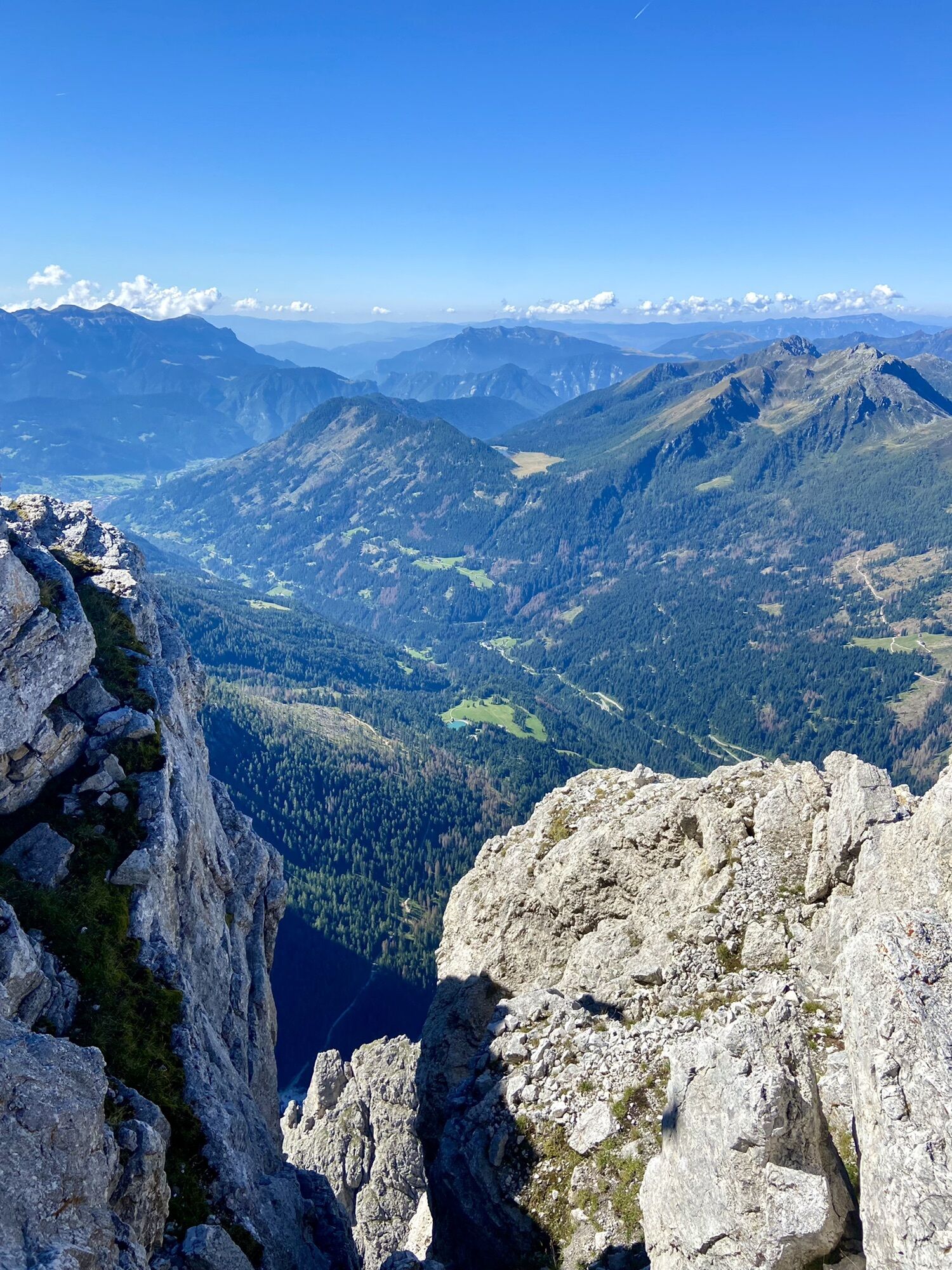
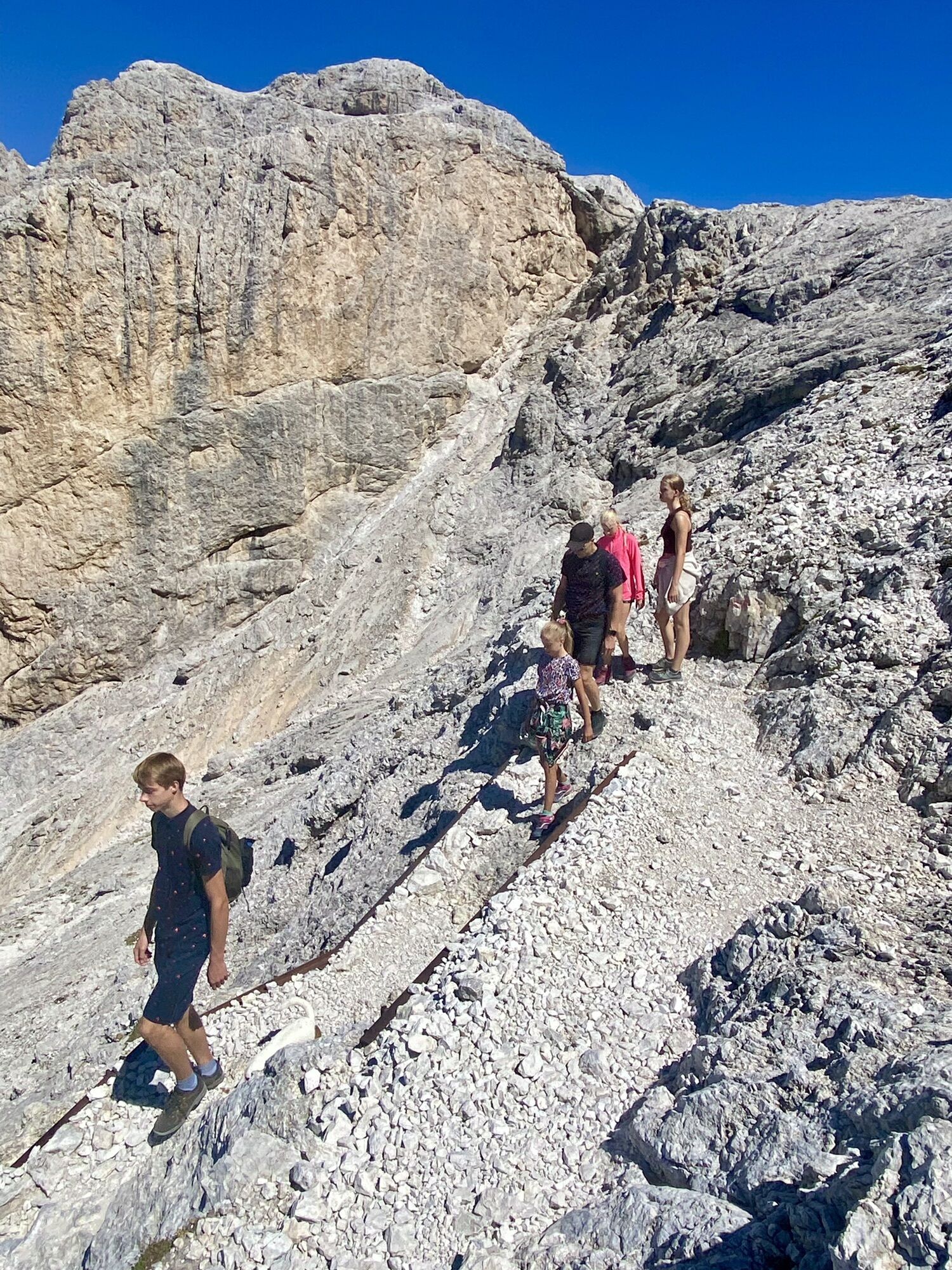
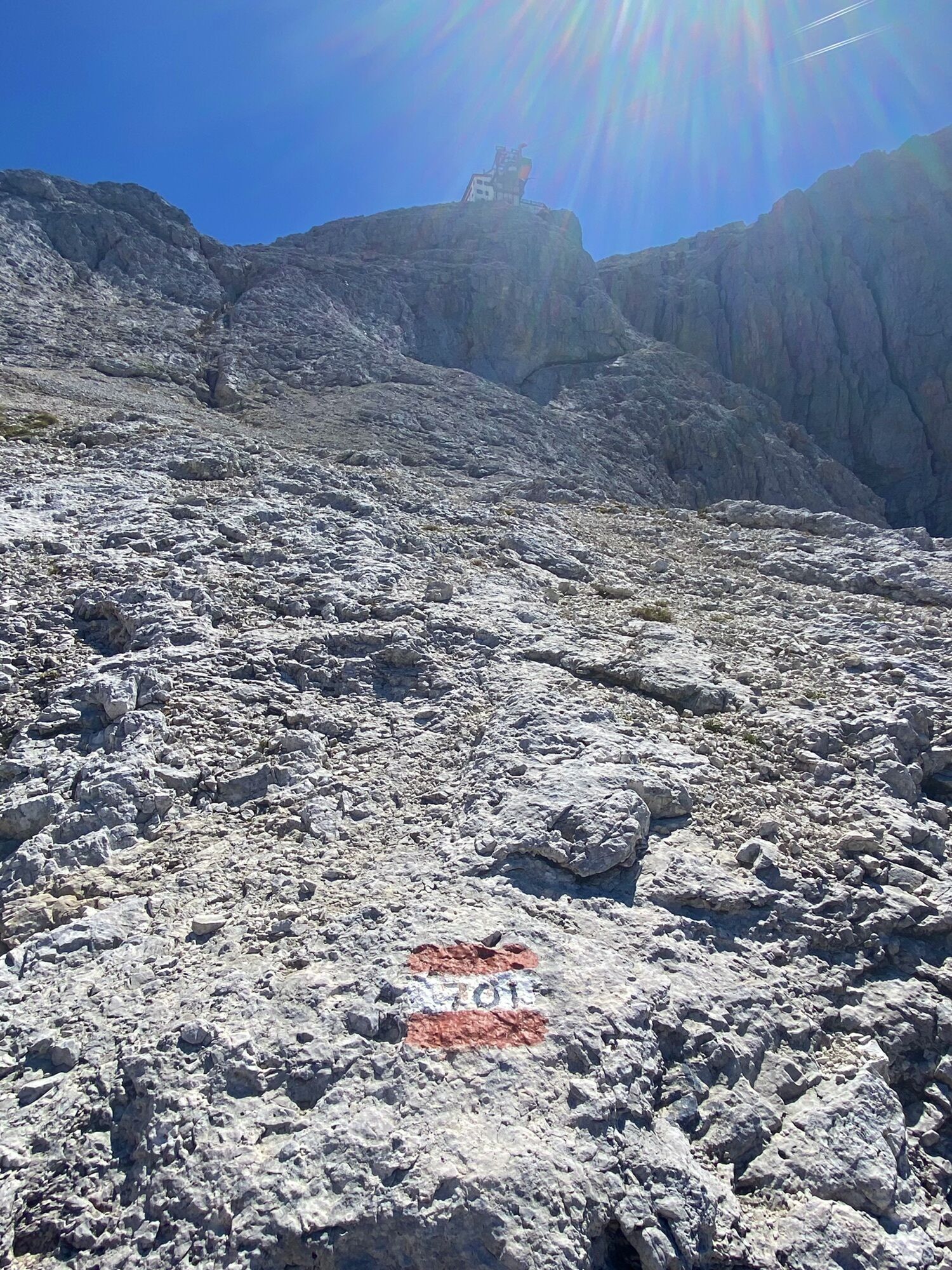
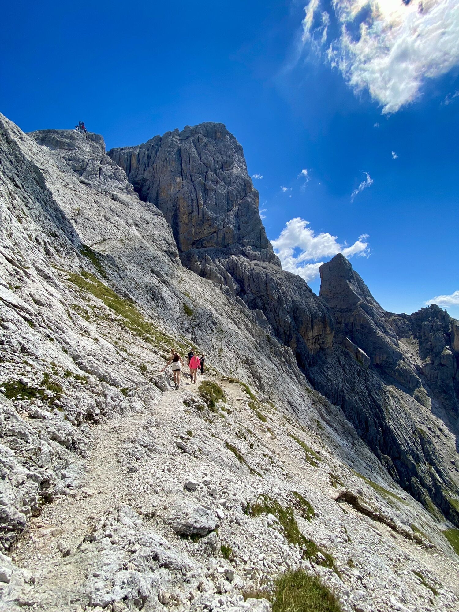
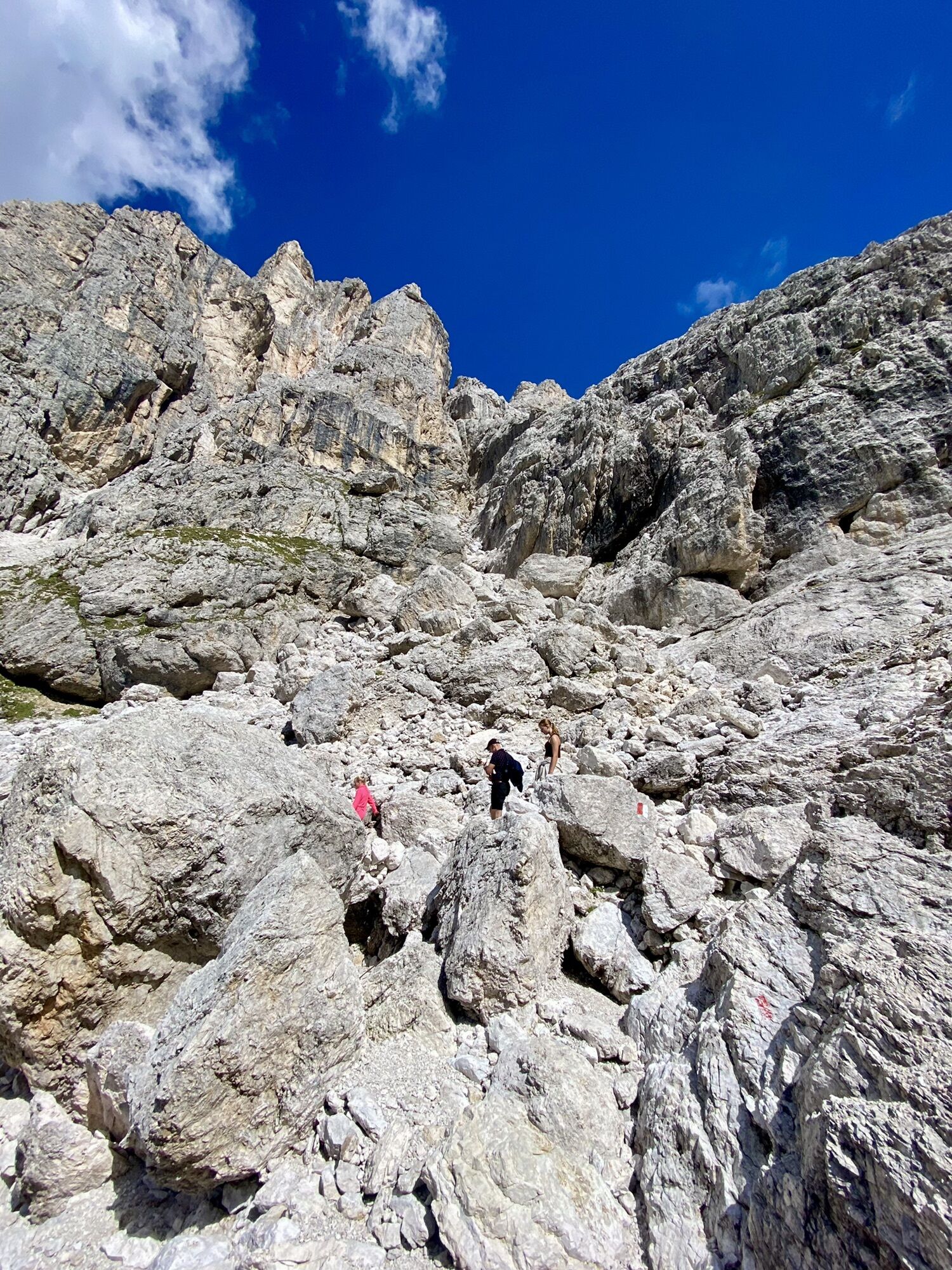
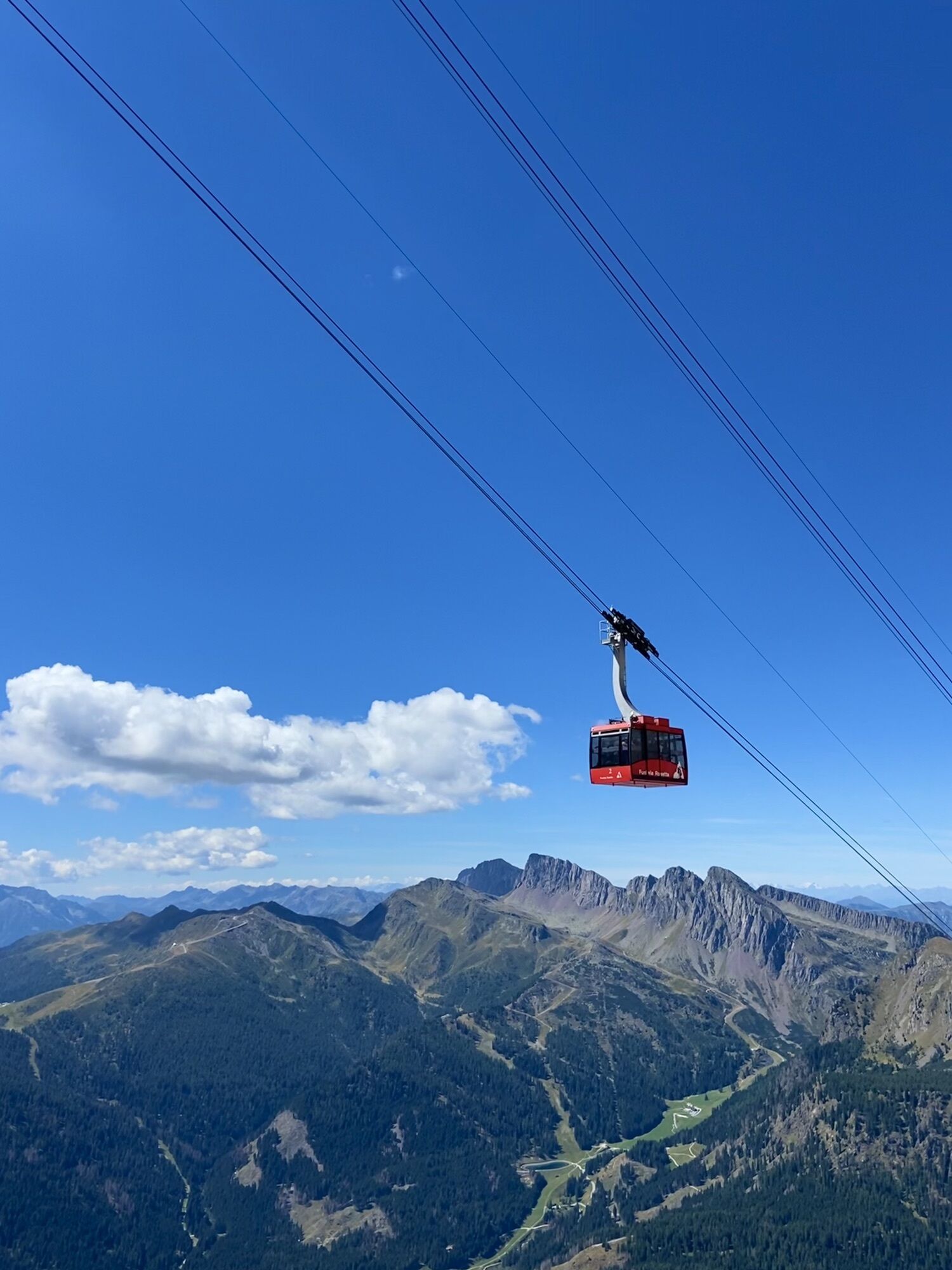
take both Colverde and Rosetta cable cars. Hike up to the cross the view is amazing. Then take the path to the refugio Rosetta and turn off at the 701. You follow the path down under the cable car. A few...
Beschreibung
take both Colverde and Rosetta cable cars. Hike up to the cross the view is amazing. Then take the path to the refugio Rosetta and turn off at the 701. You follow the path down under the cable car. A few cables but the path is not very difficult. Good for children over 6 years old.
you can also cut off the path after the Colverde cable car and walk shorter.
Wegverlauf
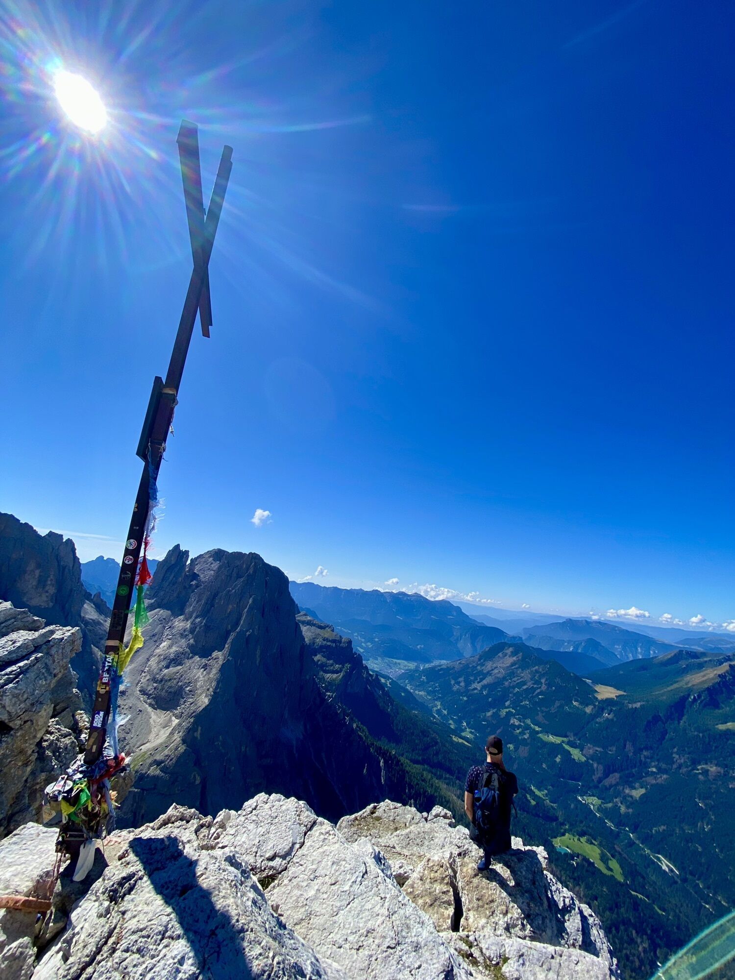
Cima della Rosetta
(2.743 m)
Gipfel
0,5 km
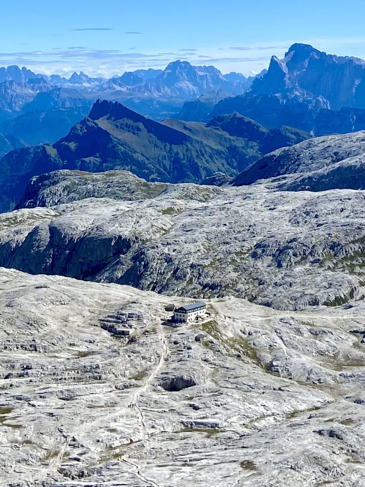
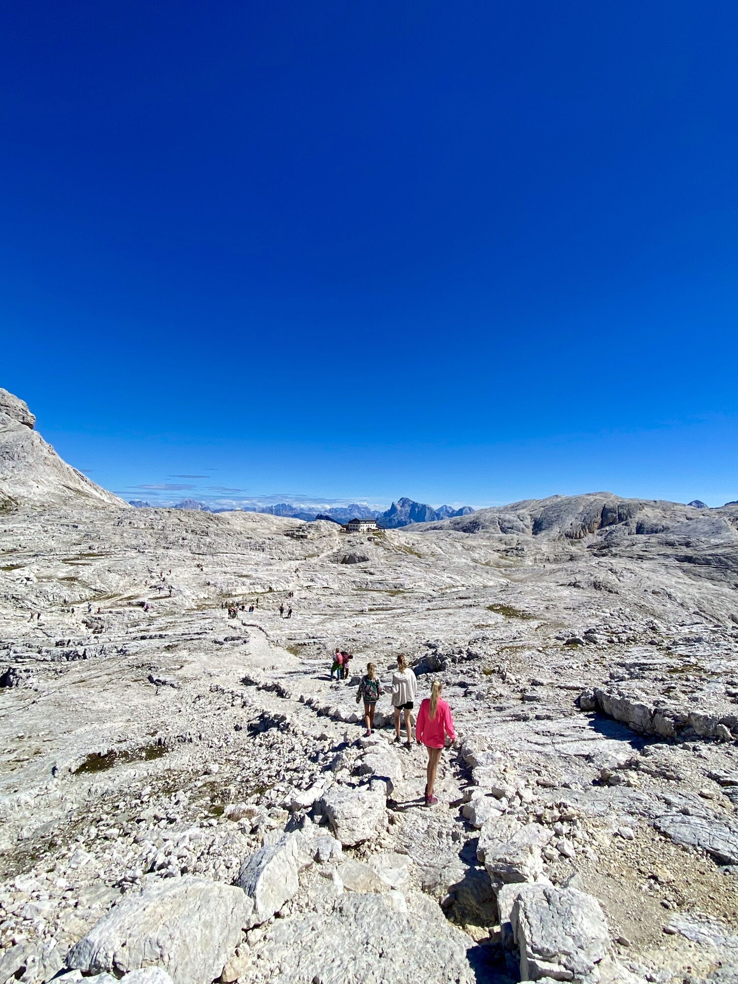
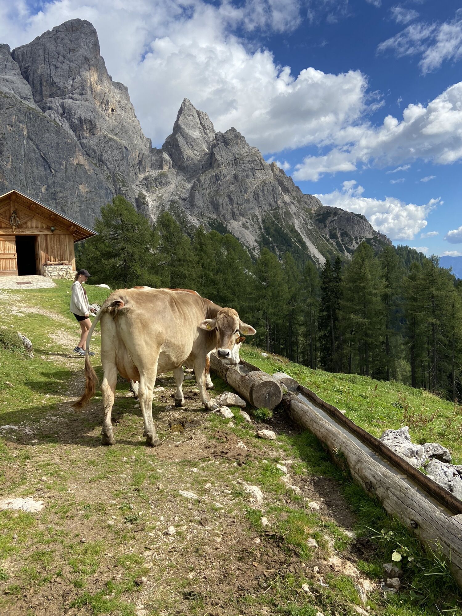
Rifugio Rosetta "Giovanni Pedrotti"
(2.584 m)
Schutzhütte
1,8 km
Colverde
(1.954 m)
Gondelstation
5,2 km
Ristorante Rifugio Colverde
(1.960 m)
Restaurant
5,3 km
Malga Pala
(1.897 m)
Schutzhütte
5,8 km
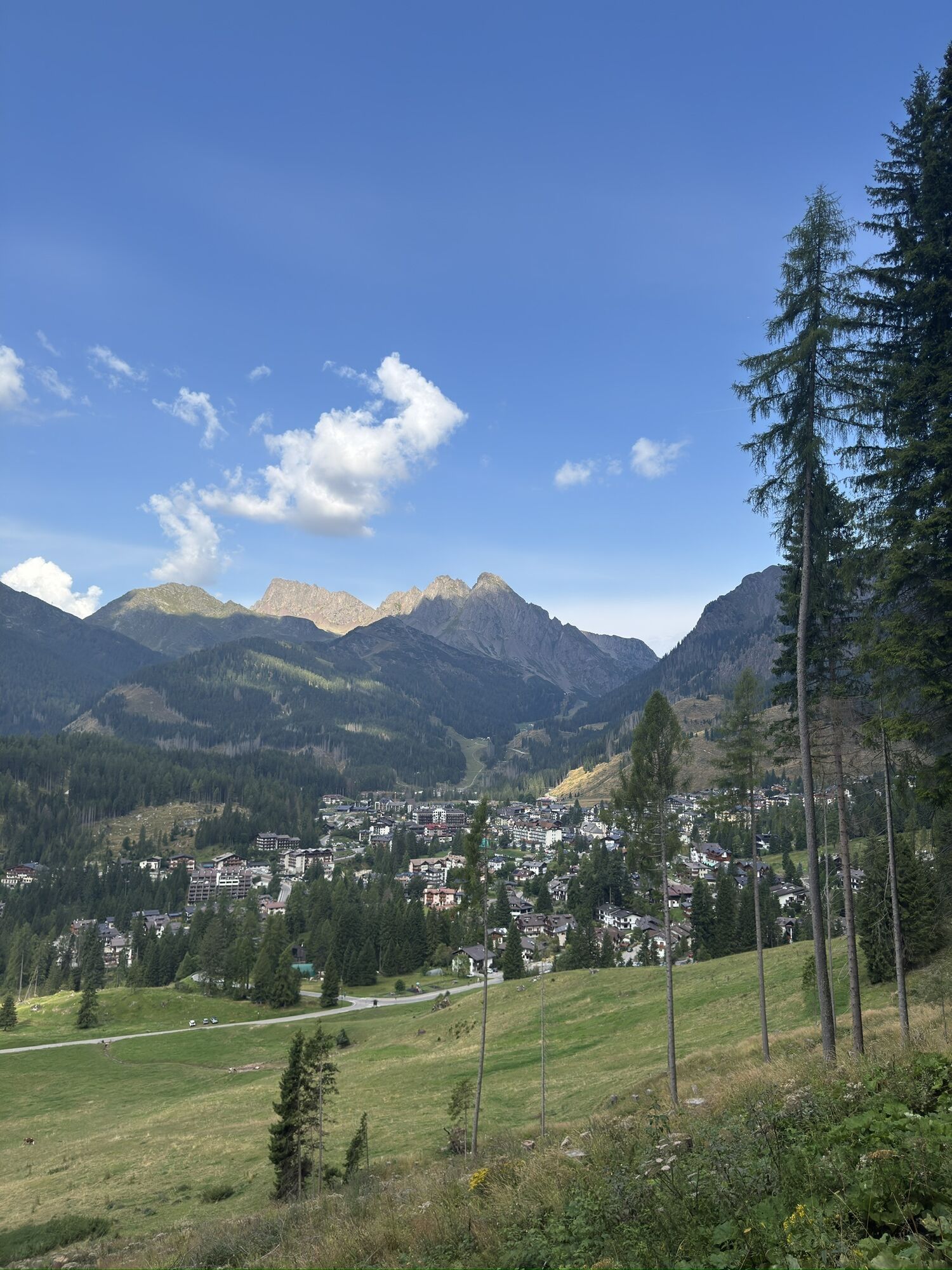
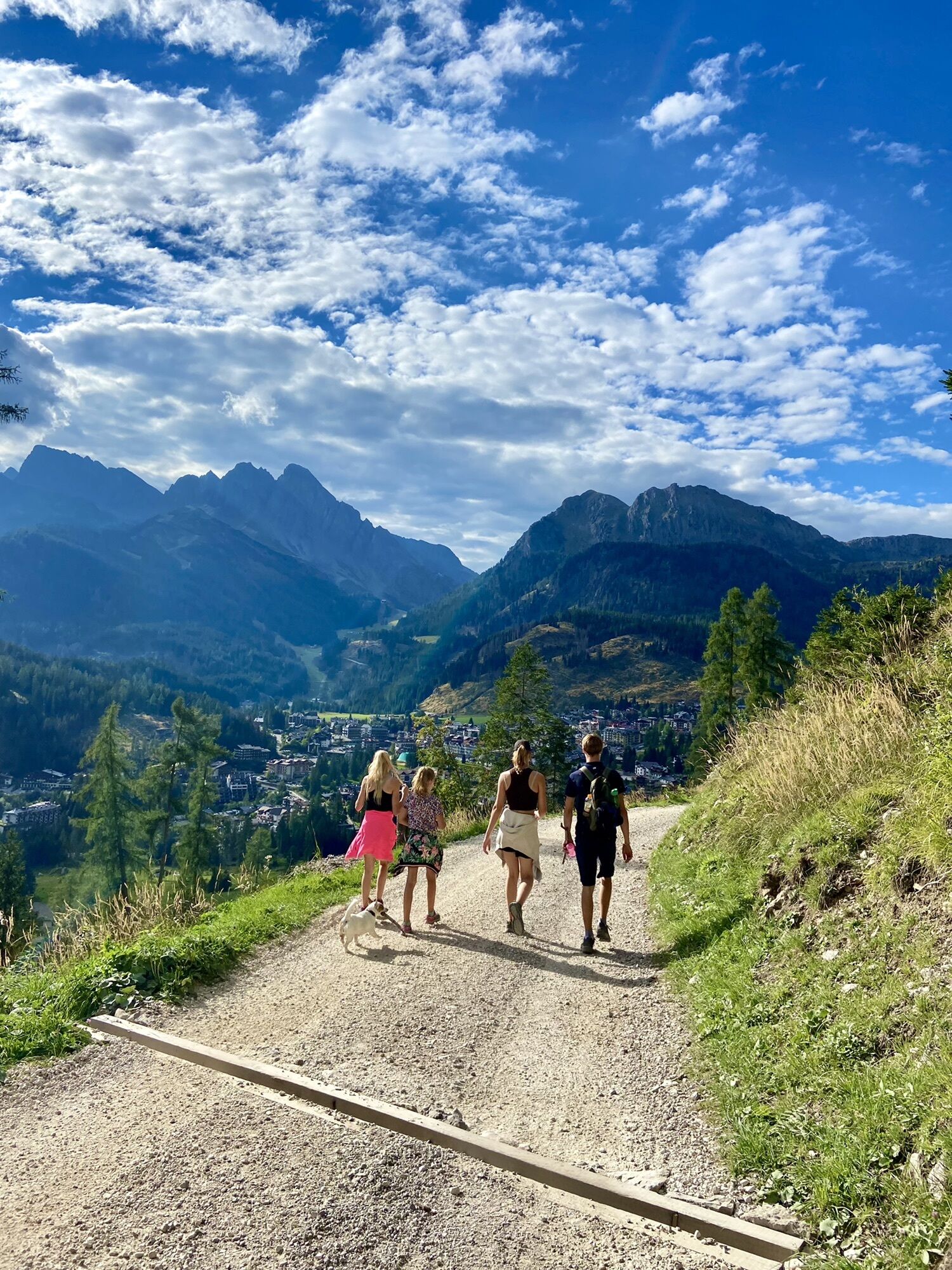
San Martino di Castrozza
(1.447 m)
Dorf
11,9 km
Colverde
(1.508 m)
Gondelstation
12,0 km
Wegverlauf
Cima Rosetta San Martino di Castrossa
mittel
Wanderung
12,04
km
Cima della Rosetta
(2.743 m)
Gipfel
0,5 km
Rosetta
(2.636 m)
Gondelstation
1,1 km
Rifugio Rosetta "Giovanni Pedrotti"
(2.584 m)
Schutzhütte
1,8 km
Colverde
(1.954 m)
Gondelstation
5,2 km
Ristorante Rifugio Colverde
(1.960 m)
Restaurant
5,3 km
Malga Pala
(1.897 m)
Schutzhütte
5,8 km
San Martino di Castrozza
(1.447 m)
Dorf
11,9 km
Colverde
(1.508 m)
Gondelstation
12,0 km
Weginformationen
Wegverlauf
701
725
Route: It is 14.6 km
Ausrüstung
Hiking boots
Zusatzinfos & Tipps
Tipps
Check the weather
Bewertungen
1 Kommentar
Antonia Dangl
19. Sep. 2025
Der Beginn unten war ziemlich steil und landschaftlich nicht so schön. Das hat sich dann schnell geändert und ab der Station Coverde war es dann richtig traumhaft. Oben sieht es aus wie auf einer Mondlandschaft
Beliebte Touren in der Nähe
- 4,4
Cavallazza Spitze
mittelWanderung 7,82 km - 4,5
San Pellegrino Pass - Fuciade - Val Fredda - Malga Boer - San Pellegrino Pass
mittelWanderung 11,1 km - 4,8
Vom Val Venegia auf den Gipfel Costazza
mittelSchneeschuh 8,58 km - 4,2
Die drei Seen
mittelWanderung 11,1 km - 2,0
Naturjuwel Val Venegia
mittelWanderung 12,3 km - 5,0
San Pellegrino Pass - Fuciade - San Pellegrino Pass
mittelWanderung 6,83 km - 5,0
Val Venegia und Baita Segantini in einzigartiger Berglandschaft - Tour 934
mittelMountainbike 18,6 km - 4,5
Rundwandeung Lusia Seen
mittelWanderung 13,0 km Dolomiten-Höhenweg 2
schwerWanderung 147,4 km- 4,5
Juribrutto Spitze
leichtSkitour 7,40 km
Wandern & Tracking

Über 550.000 Tourenvorschläge, detailliertes Kartenmaterial und ein intuitiver Routenplaner machen die App zum Must-have für alle Naturbegeisterten.

Verpasse keine Angebote und Inspirationen für deinen nächsten Urlaub
Zum Newsletter anmelden
Fehler
Ein Fehler ist aufgetreten. Bitte versuche es erneut.Vielen Dank für deine Anmeldung
Deine E-Mail-Adresse wurde in den Verteiler eingetragen.
Touren in ganz Europa
Österreich Schweiz Deutschland Italien Slowenien Frankreich Niederlande Belgien Polen Liechtenstein Tschechien Slowakei Spanien Kroatien Bosnien und Herzegowina Luxemburg Andorra Portugal Island Vereinigtes Königreich Irland Griechenland Albanien Nordmazedonien Malta Norwegen Montenegro Moldau Kosovo Ungarn San Marino Rumänien Estland Lettland Belarus Zypern Litauen Serbien Bulgarien Monaco Dänemark Schweden Finnland