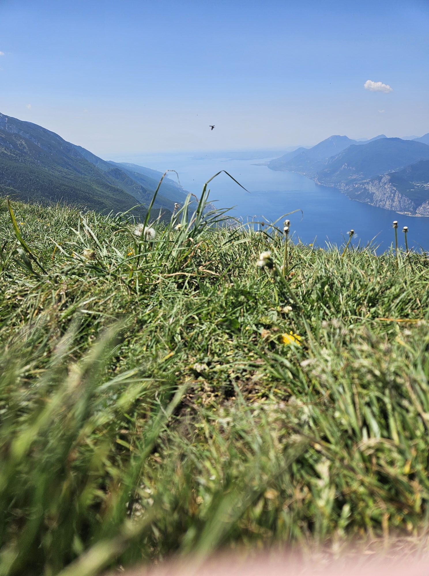
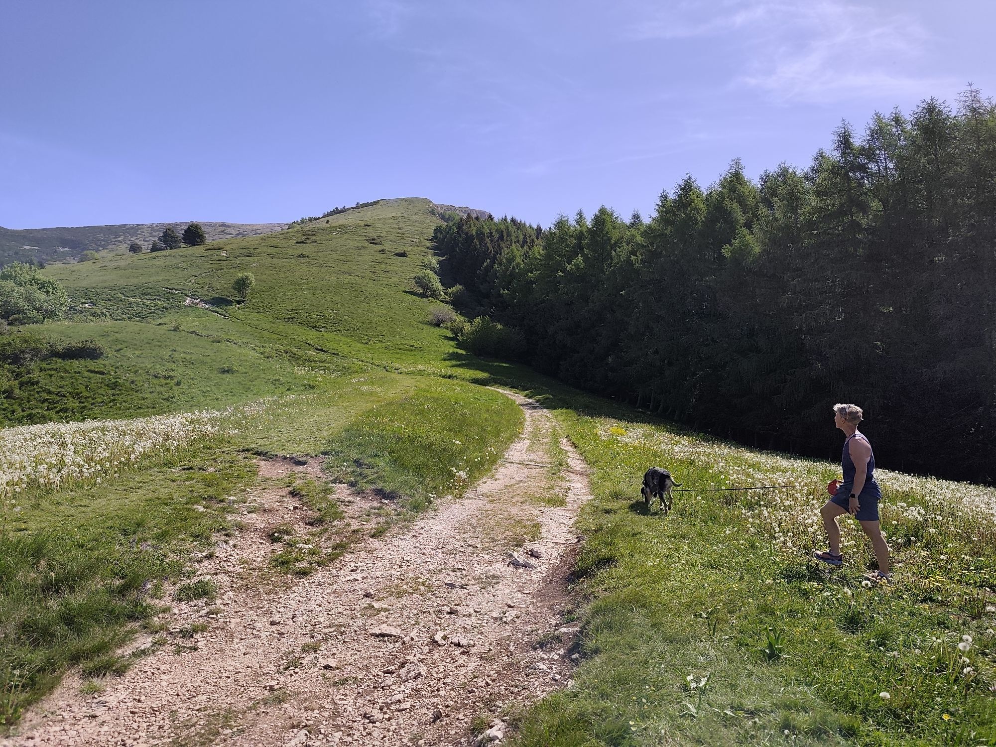
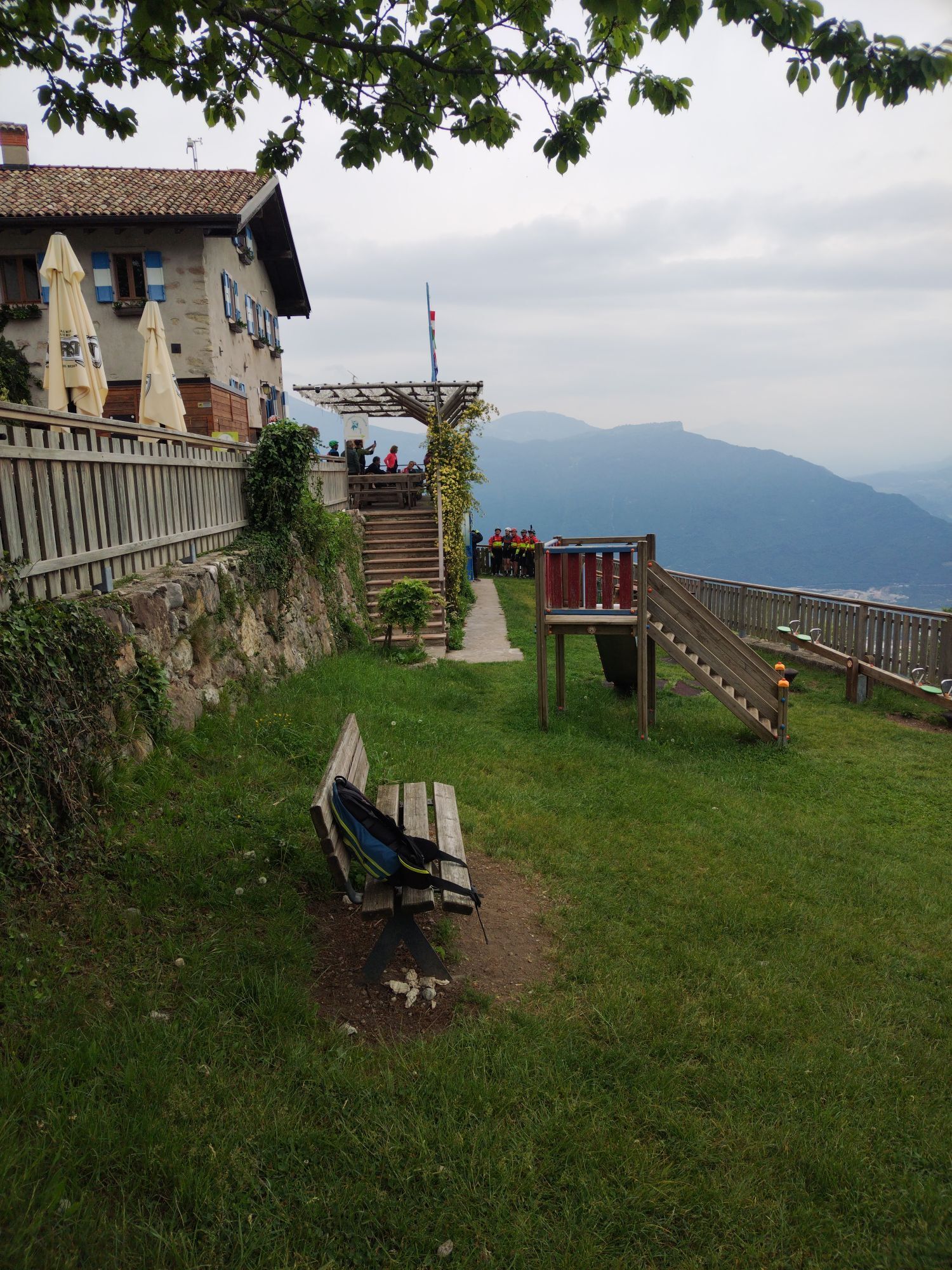
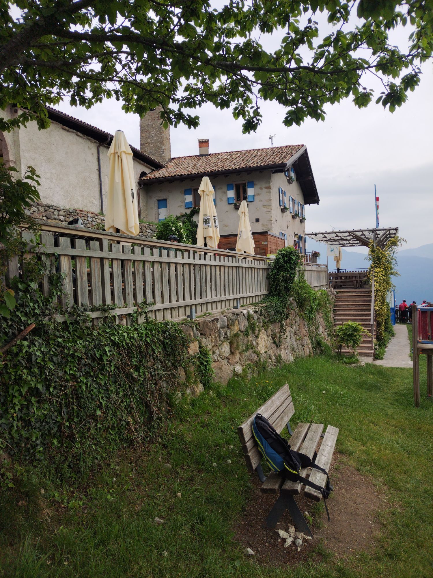
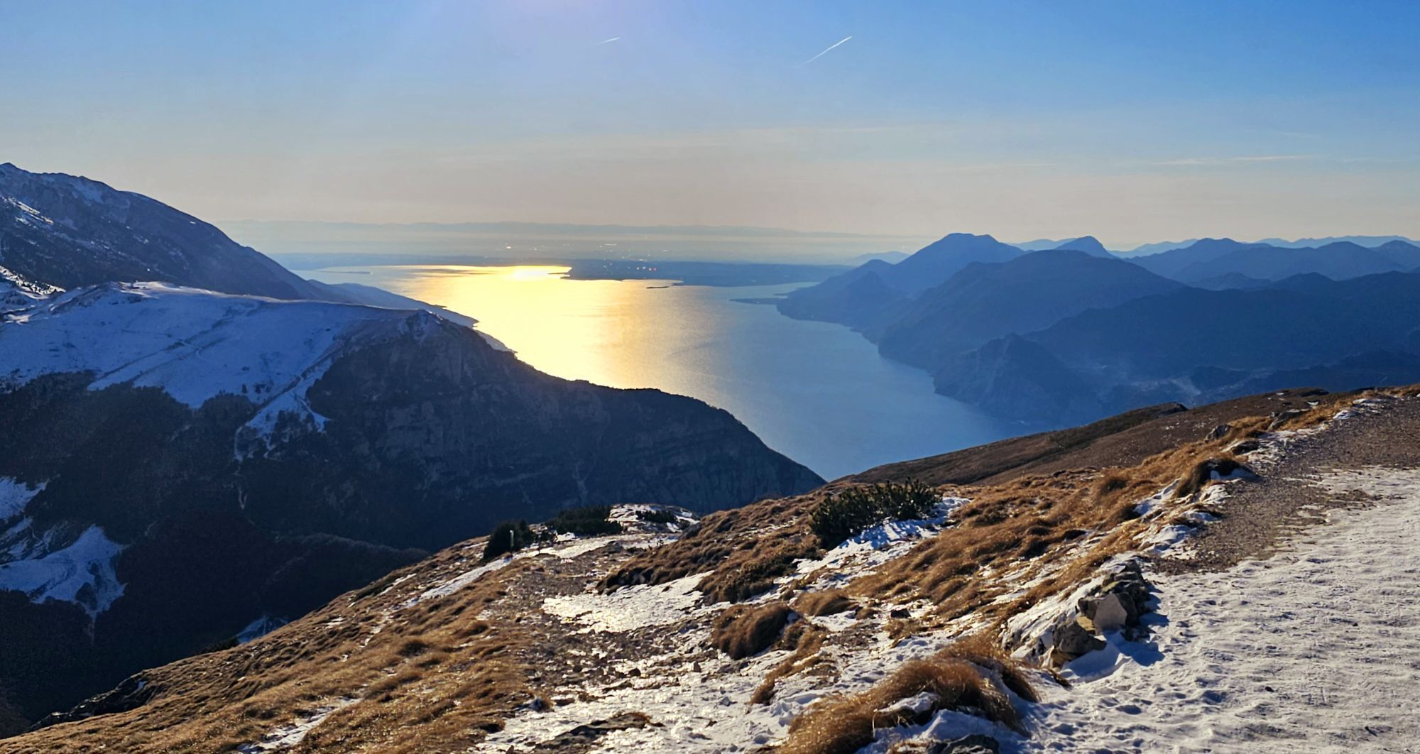
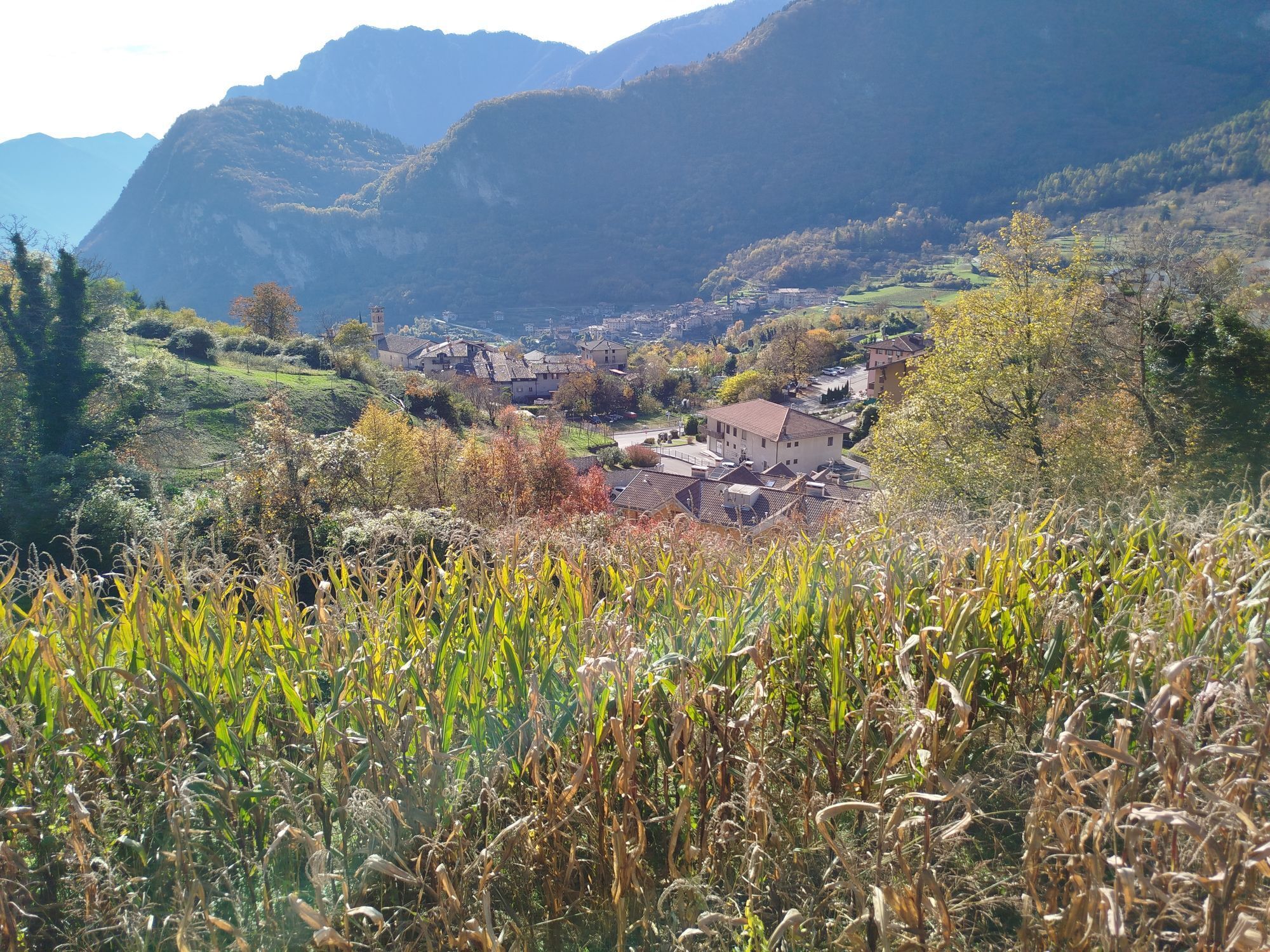
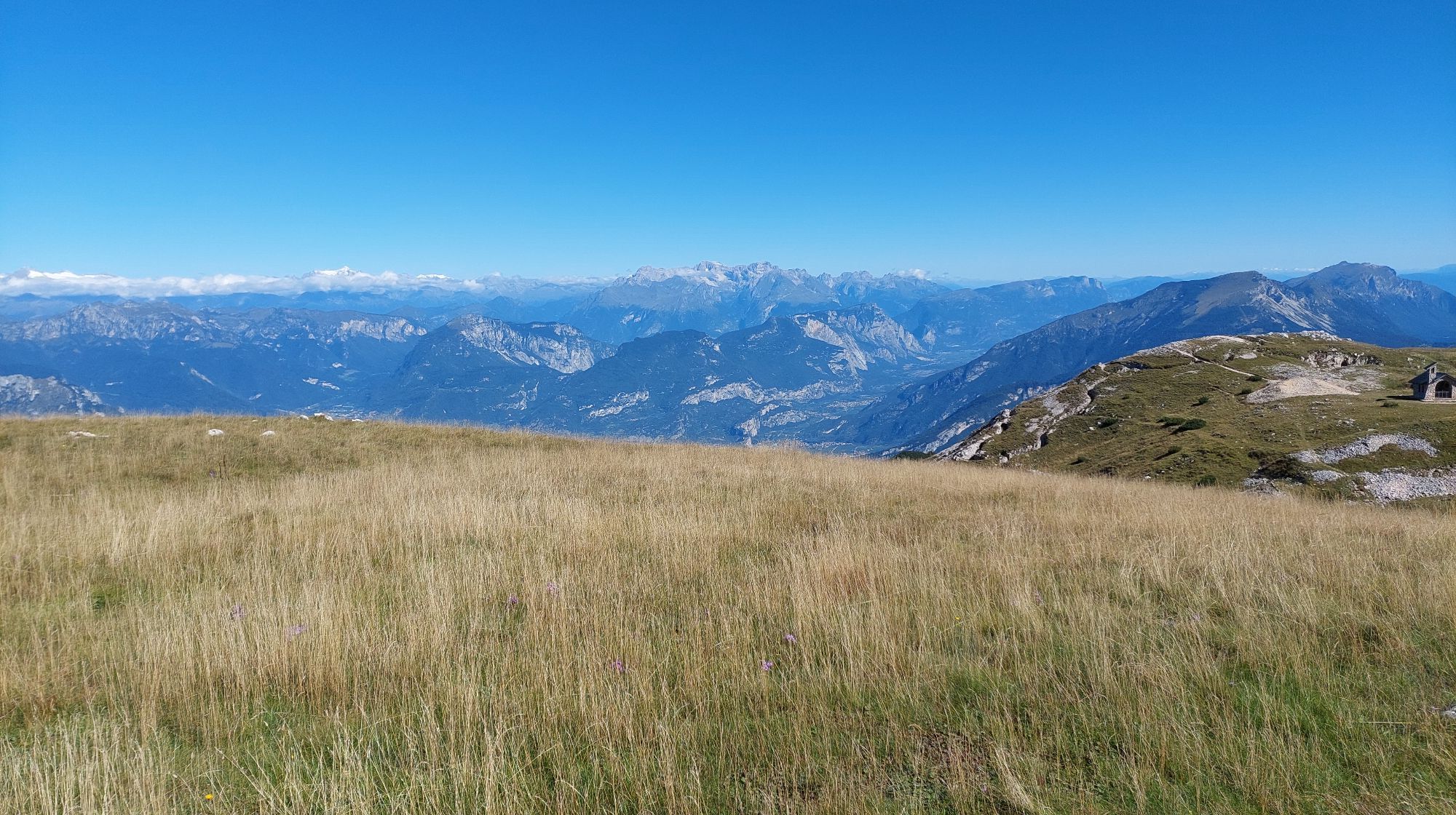
Garda Trek - Top Loop
Fernwanderweg
Hol diese Tour auf dein Handy
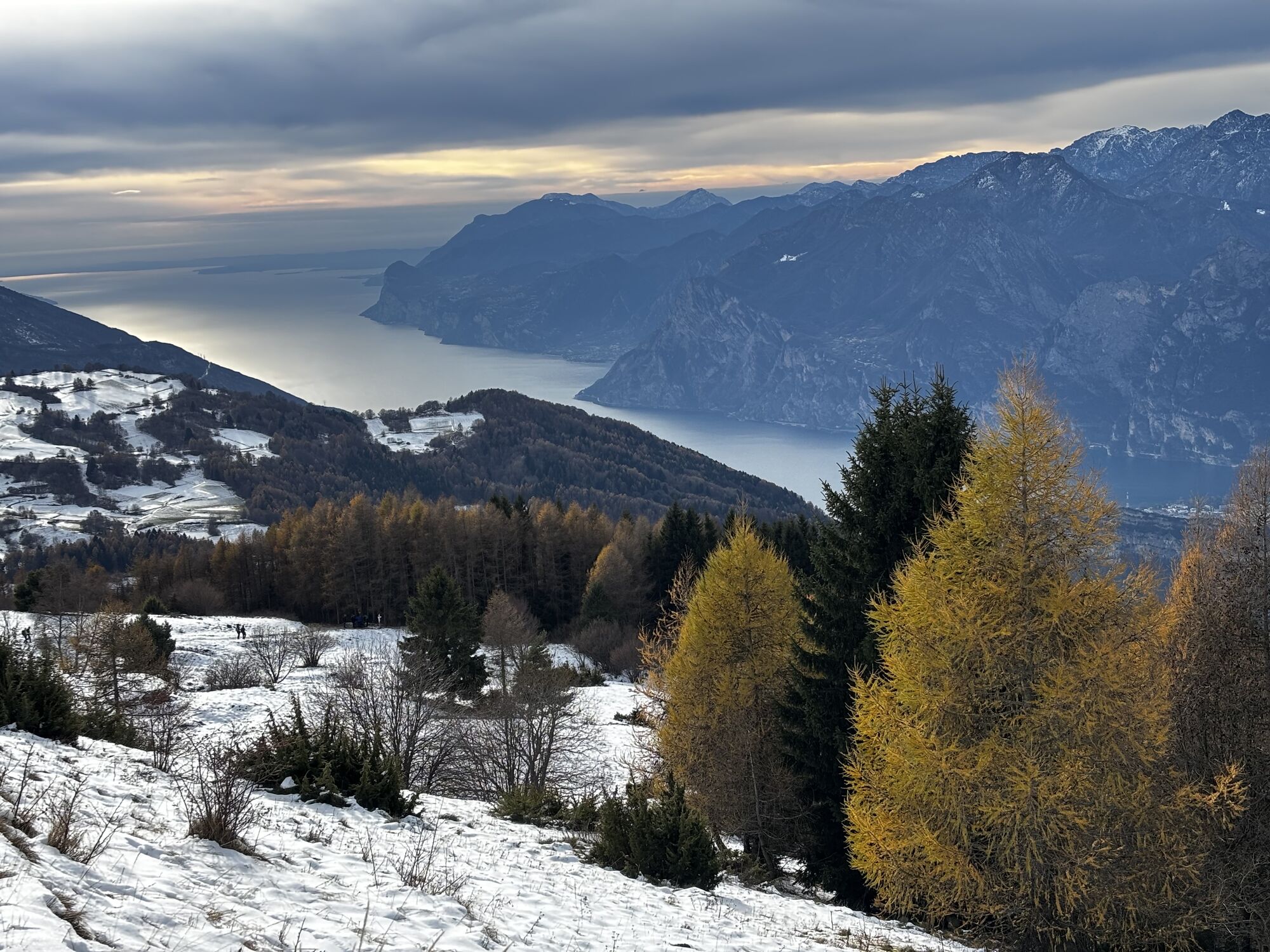
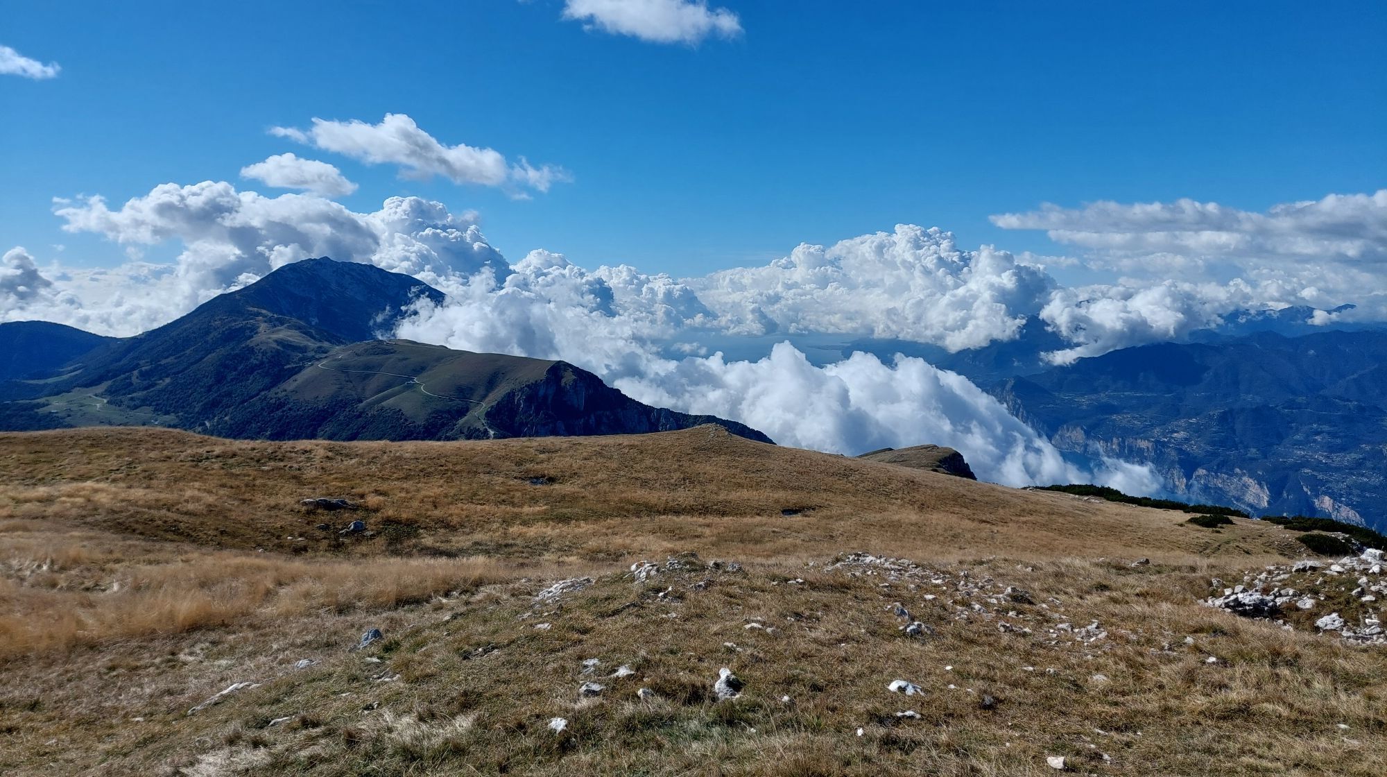
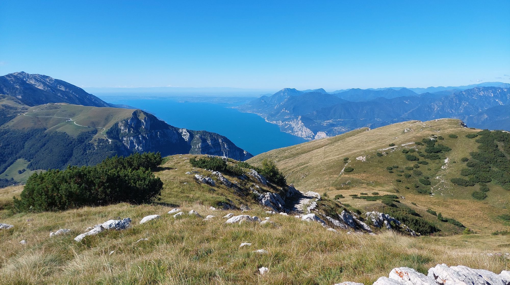
Garda Trek - Top Loop
Fernwanderweg
90,93
km
QR-Code scannen und Navigation in der bergfex App beginnen

Wandern & Tracking


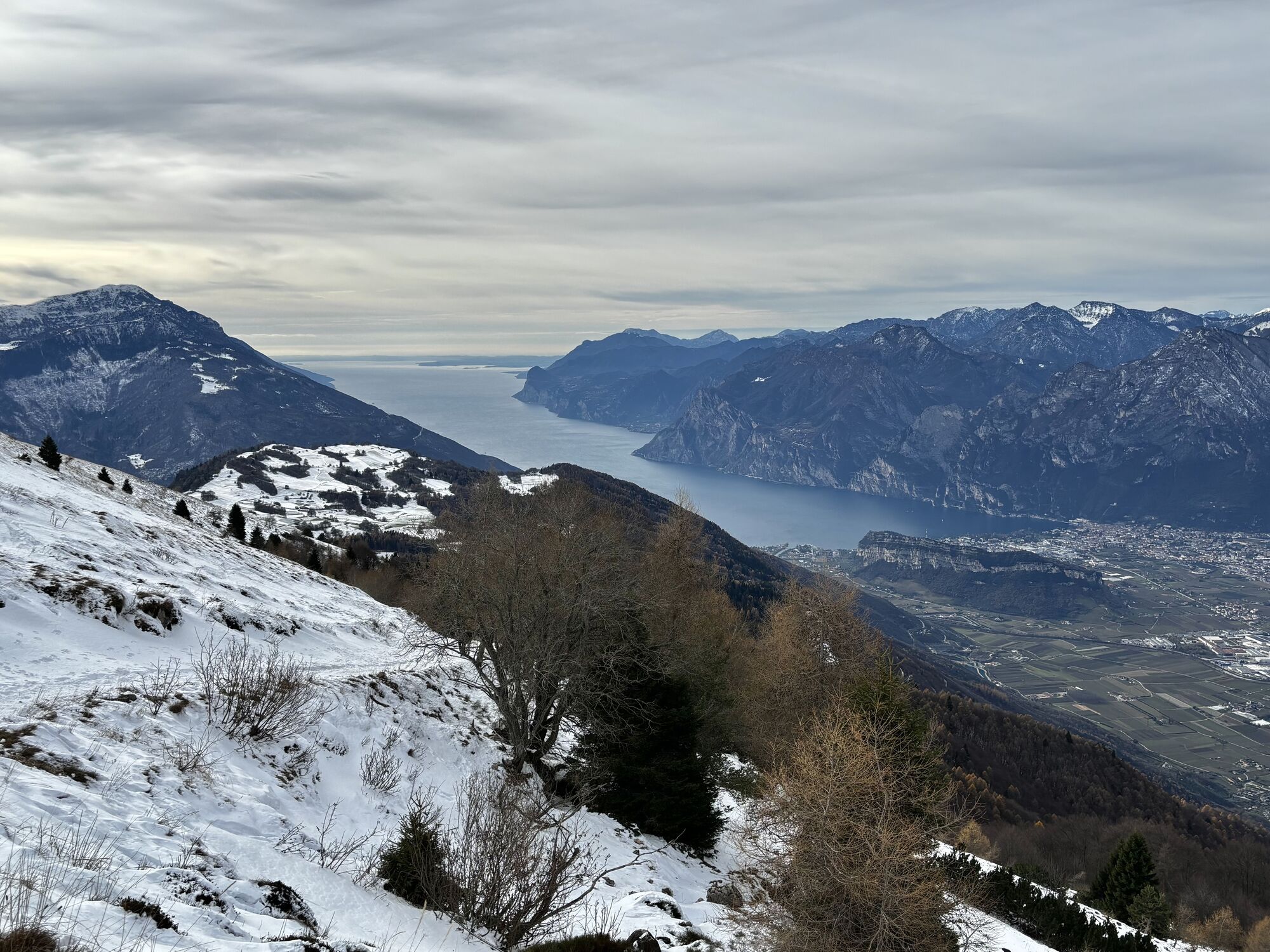
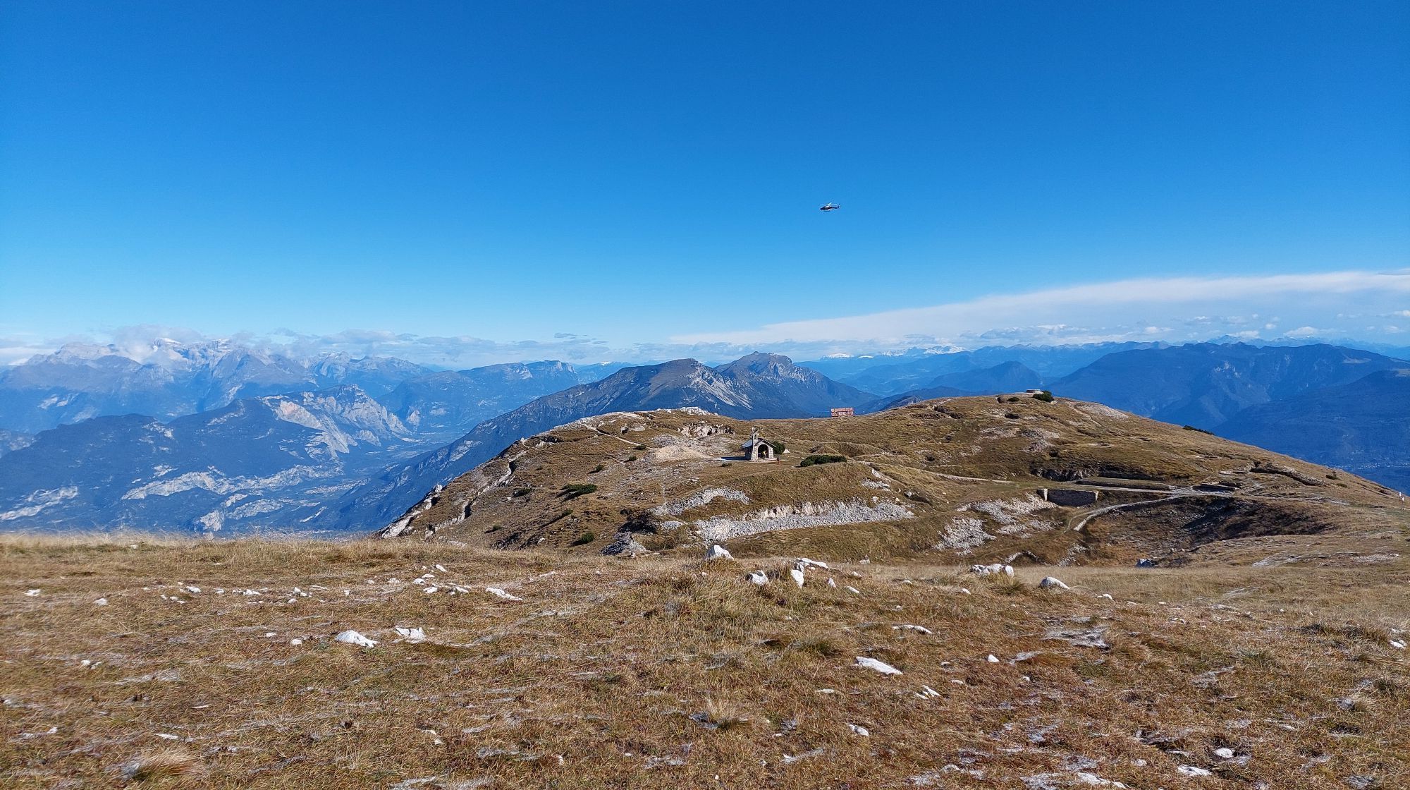
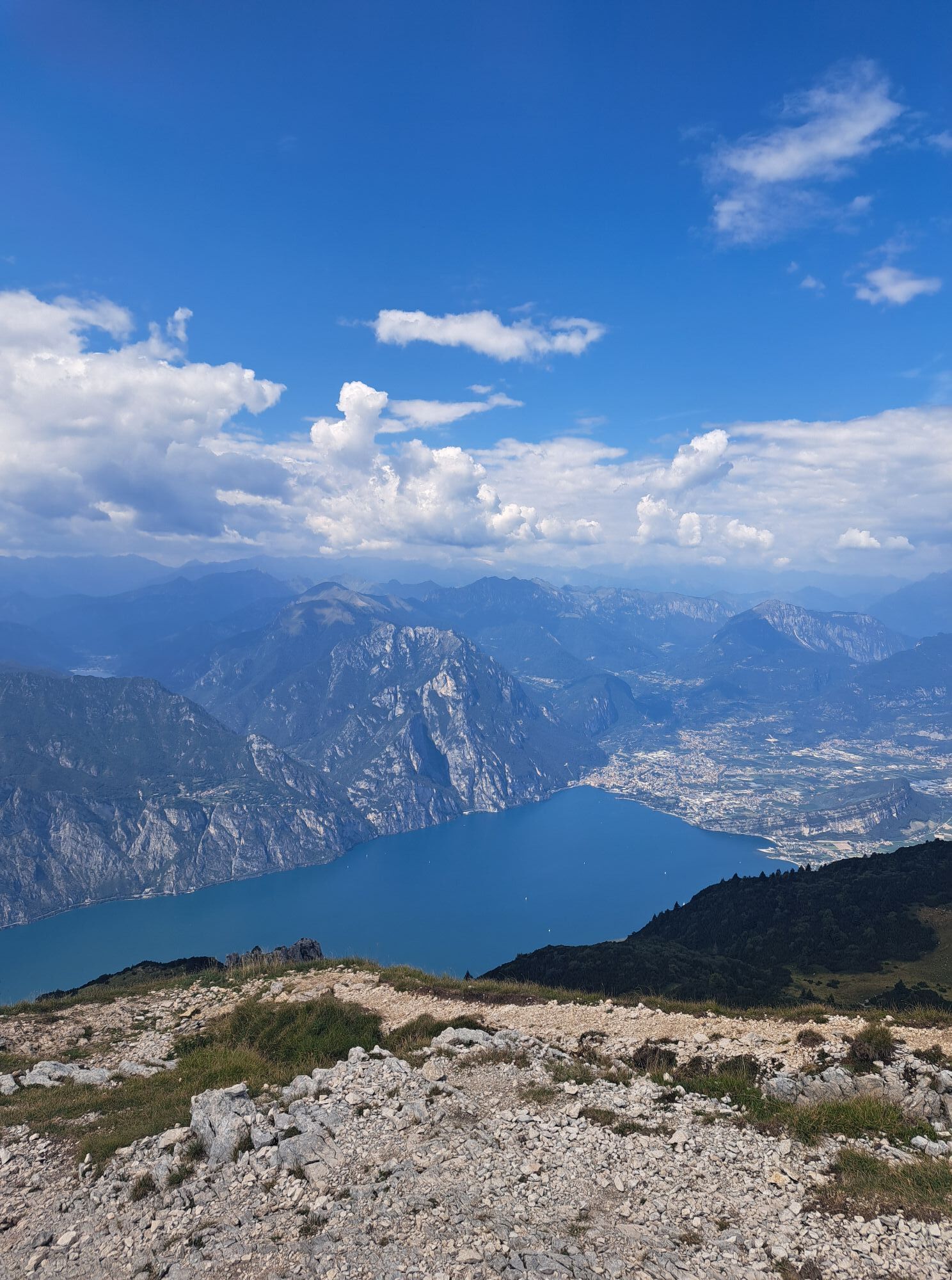
Garda Trek - Top Loop
Fernwanderweg
Distanz
90,93
km
Dauer
23:28
h
Aufstieg
7.166
hm
Seehöhe
93 -
2.051
m
Track-Download
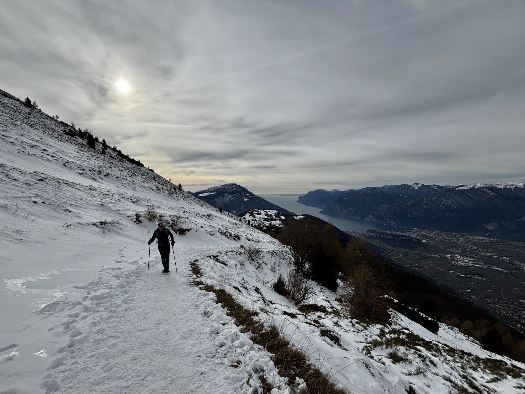
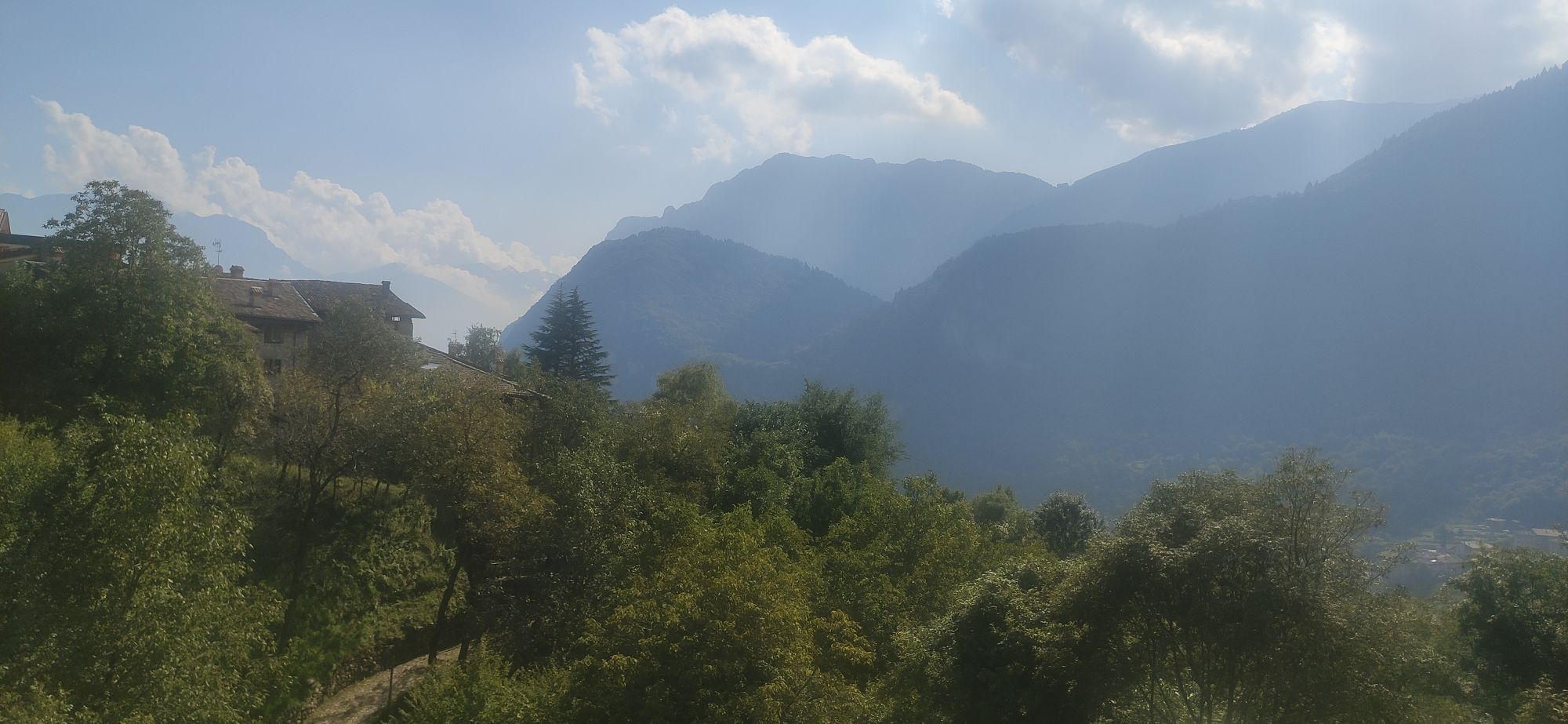
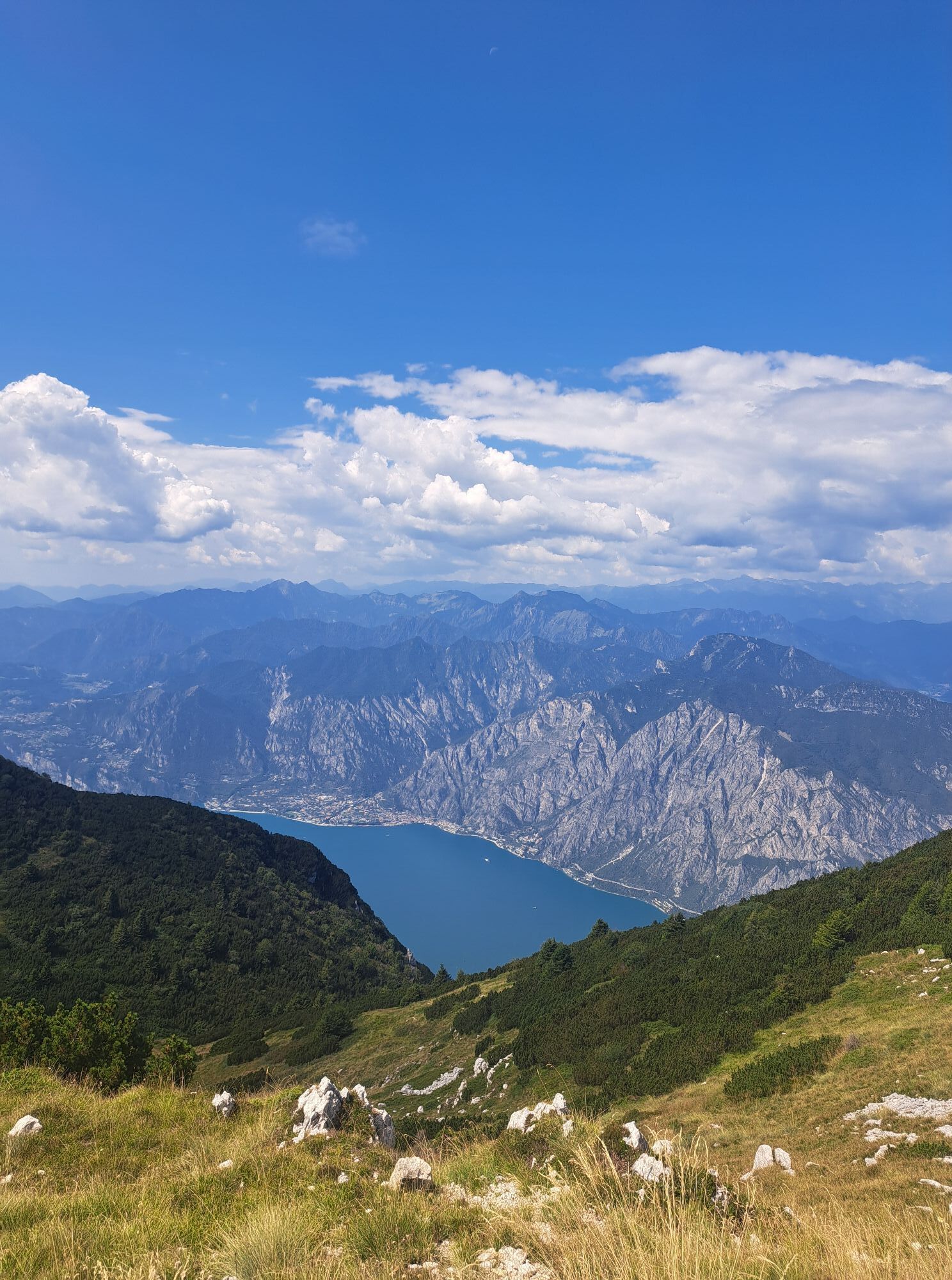
Garda Trek - Top Loop
Fernwanderweg
90,93
km


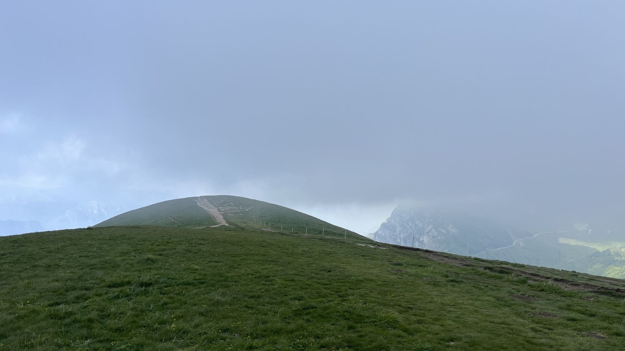


Wegverlauf
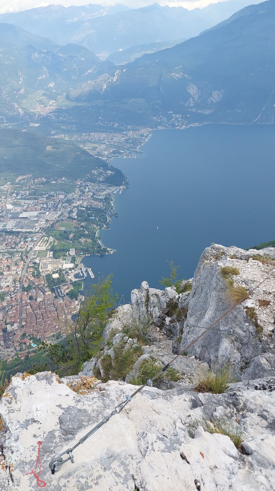
Rocchetta Giochello
(1.519 m)
Gipfel
5,1 km
Monte San Pietro
(1.067 m)
Gipfel
25,9 km
Monte Biaina
(1.412 m)
Gipfel
31,1 km
Monte Stivo
(2.054 m)
Gipfel
60,3 km
Chiesa di San Vigilio
(217 m)
Andachtsstätte
72,3 km
Dos de la Cronèla
(706 m)
Gipfel
75,7 km
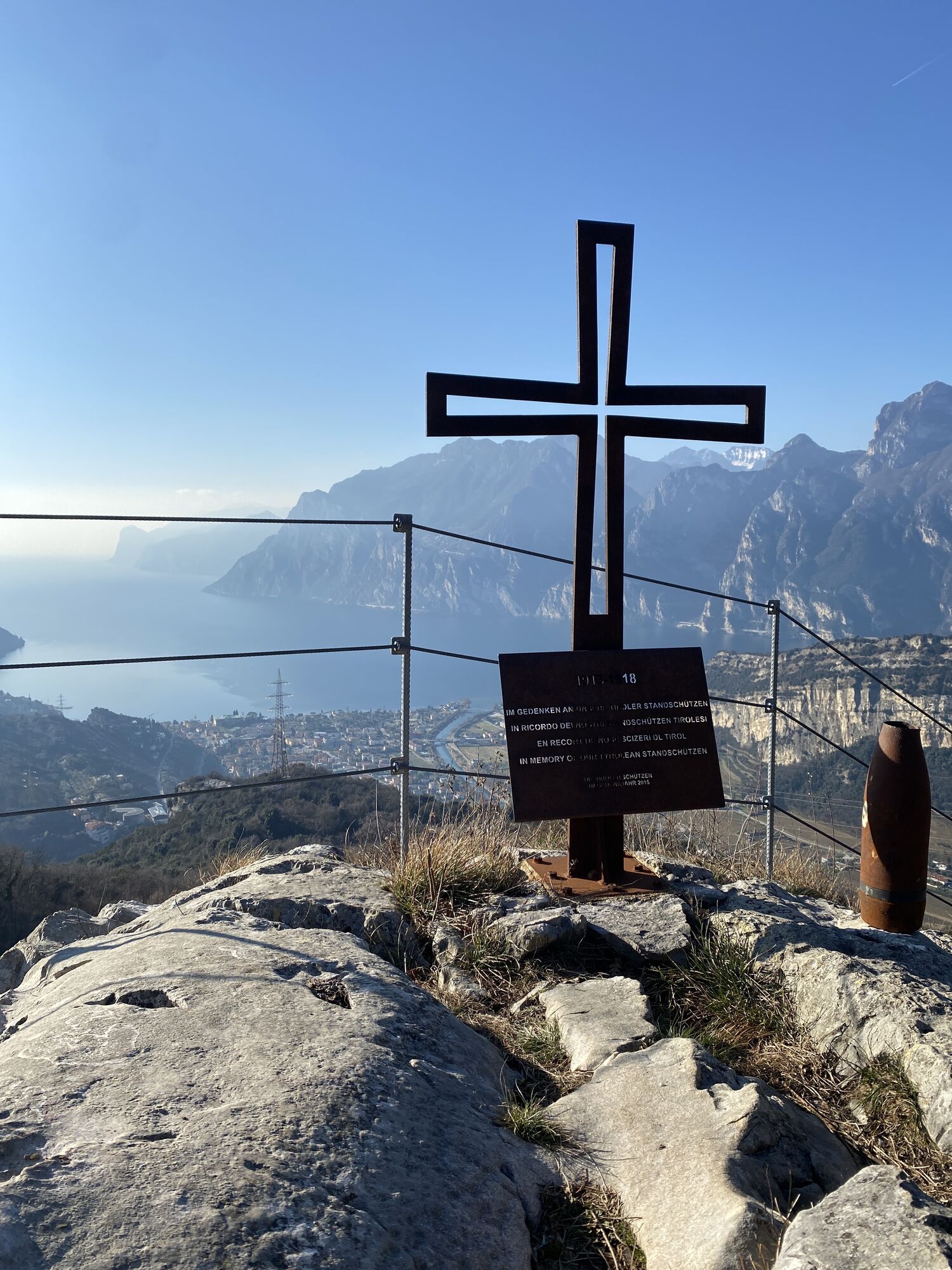
Monte Varagna
(1.778 m)
Gipfel
81,2 km
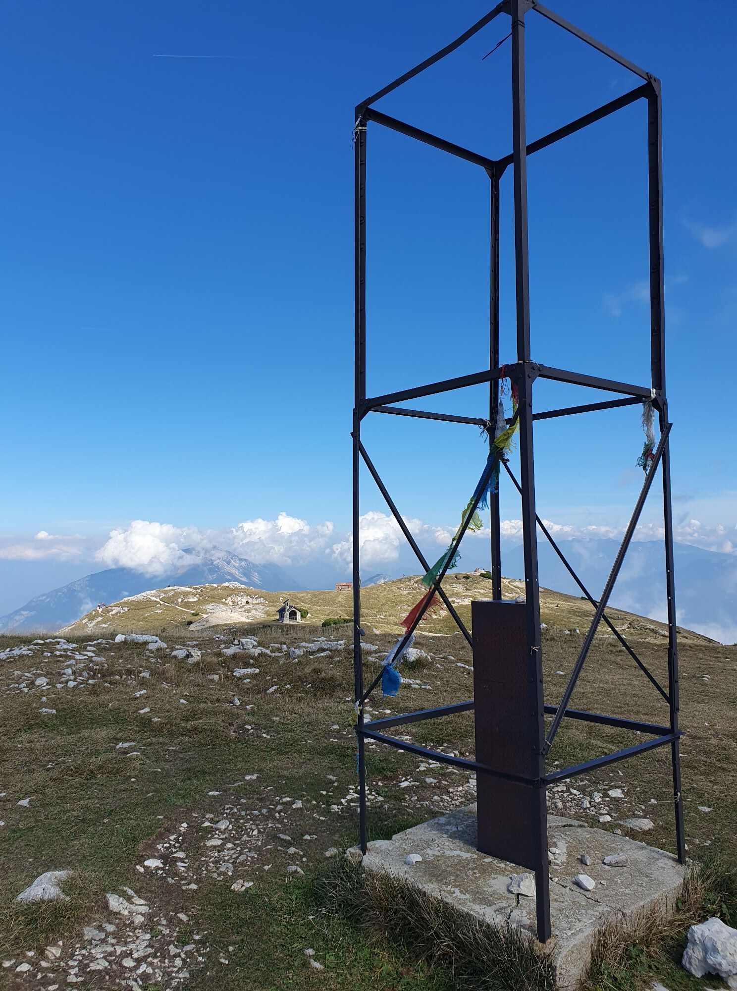
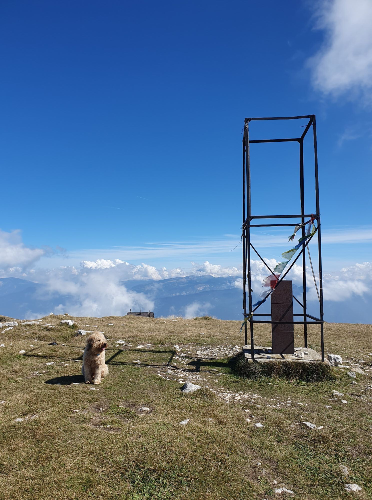
Monte Altissimo di Nago
(2.079 m)
Gipfel
83,3 km
Wegverlauf
Garda Trek - Top Loop
Fernwanderweg
90,93
km
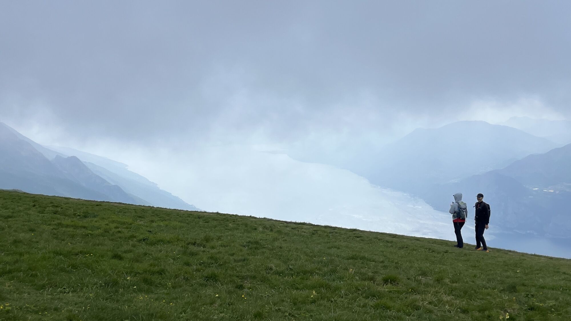
Riva del Garda
(66 m)
Stadt
0,1 km
Santa Maria Maddalena
(261 m)
Flur/Gelände
1,1 km
Crazidei
(842 m)
Flur/Gelände
3,2 km
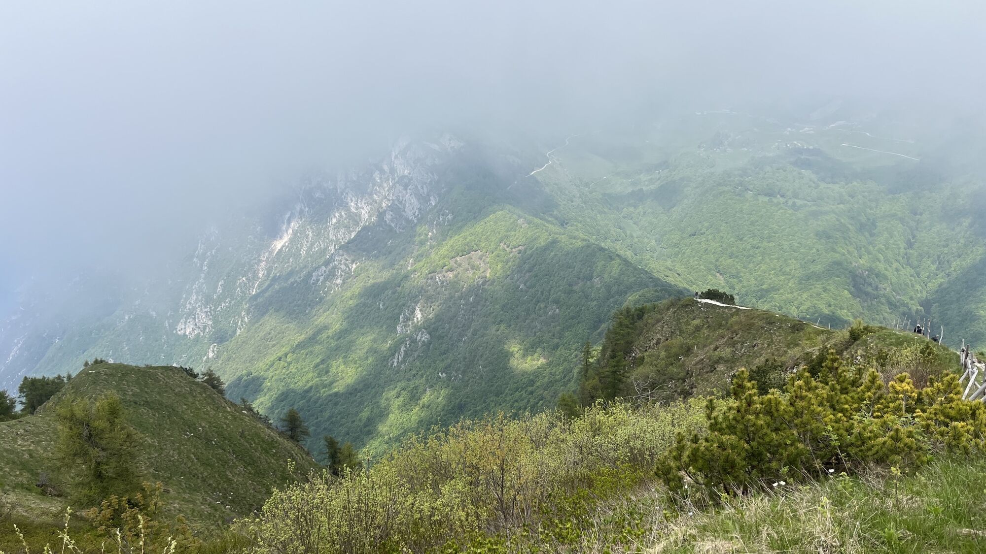
Cima Sat
(1.245 m)
Gipfel
4,4 km
Rocchetta Giochello
(1.519 m)
Gipfel
5,1 km
Baita Mirella
(1.722 m)
Schutzhütte (unbewirtschaftet)
11,2 km
Rifugio Bocca di Trat "Nino Pernici"
(1.605 m)
Schutzhütte
13,4 km
Biavina
(825 m)
Flur/Gelände
19,7 km
Frioc
(600 m)
Flur/Gelände
21,9 km
Ville Del Monte
(546 m)
Dorf
22,2 km
Canale
(600 m)
Siedlung
22,4 km
Pastoedo
(566 m)
Siedlung
22,4 km
Bastiani
(853 m)
Flur/Gelände
23,6 km
Chiesa di San Pietro
(975 m)
Andachtsstätte
24,8 km
Rifugio San Pietro
(961 m)
Schutzhütte
24,8 km
La me baita
(993 m)
Flur/Gelände
24,9 km
Monte San Pietro
(1.067 m)
Gipfel
25,9 km
Vedese
(968 m)
Flur/Gelände
26,9 km
Malga Tovo
(951 m)
Flur/Gelände
28,7 km
Cima Nanzone
(1.134 m)
Gipfel
30,0 km
Monte Biaina
(1.412 m)
Gipfel
31,1 km
Naciòle
(1.380 m)
Flur/Gelände
31,9 km
Prai da Gom alti
(1.124 m)
Flur/Gelände
33,6 km
Marcarie
(1.109 m)
Siedlung
34,2 km
Malga San Giovanni al Monte
(1.053 m)
Restaurant
34,7 km
San Giovanni al Monte
(967 m)
Siedlung
34,8 km
Sant'Antonio
(754 m)
Flur/Gelände
36,8 km
Doss del Clef
(769 m)
Gipfel
37,5 km
Mandrea
(620 m)
Flur/Gelände
38,7 km
Salt de la cavra
(509 m)
Flur/Gelände
40,0 km
Arco
(90 m)
Stadt
40,3 km
Le Fontane
(358 m)
Flur/Gelände
41,6 km
Ceniga
(114 m)
Dorf
44,3 km
Coste di Varino
(121 m)
Flur/Gelände
45,9 km
Braila
(527 m)
Siedlung
49,8 km
Mandrie Alte
(1.785 m)
Flur/Gelände
58,7 km
Rifugio Stivo Prospero Marchetti
(2.016 m)
Schutzhütte
60,2 km
Monte Stivo
(2.054 m)
Gipfel
60,3 km
Le Prese
(1.480 m)
Flur/Gelände
63,0 km
Castil
(1.237 m)
Flur/Gelände
64,0 km
Malga Zanga
(1.140 m)
Restaurant
64,4 km
Monte Velo
(1.090 m)
Flur/Gelände
64,6 km
Agritur Torboli
(1.049 m)
Restaurant
65,4 km
Tre Croci
(611 m)
Flur/Gelände
70,4 km
Dorsale Tre Croci
(450 m)
Flur/Gelände
70,9 km
San Rocco
(223 m)
Andachtsstätte
72,0 km
Chiesa di San Vigilio
(217 m)
Andachtsstätte
72,3 km
Nago
(216 m)
Dorf
72,3 km
Primon
(222 m)
Flur/Gelände
72,4 km
Chiesa della Santissima Trinità
(227 m)
Andachtsstätte
72,4 km
Segron
(386 m)
Flur/Gelände
73,9 km
Grotta Bianca Bini
(470 m)
Höhleneingang
74,4 km
Crepa alle Daine
(457 m)
Höhleneingang
74,6 km
Paternoster
(499 m)
Flur/Gelände
74,9 km
Versante Garda - Gresta
(568 m)
Aussichtspunkt
75,1 km
Dos de la Cronèla
(706 m)
Gipfel
75,7 km
Malga Zures
(687 m)
Flur/Gelände
75,8 km
Chiesa Madonna del Faggio
(752 m)
Andachtsstätte
76,5 km
Malga Casina
(1.025 m)
Flur/Gelände
78,1 km
Capanna Caduti del Monte Baldo
(1.029 m)
Schutzhütte
78,2 km
Sorgente Acqua d'Oro
(1.052 m)
Quelle
78,3 km
Prati di Nago
(1.306 m)
Flur/Gelände
79,4 km
Monte Varagna
(1.778 m)
Gipfel
81,2 km
Monte Altissimo di Nago
(2.079 m)
Gipfel
83,3 km
Rifugio Altissimo "Damiano Chiesa"
(2.058 m)
Schutzhütte
83,4 km
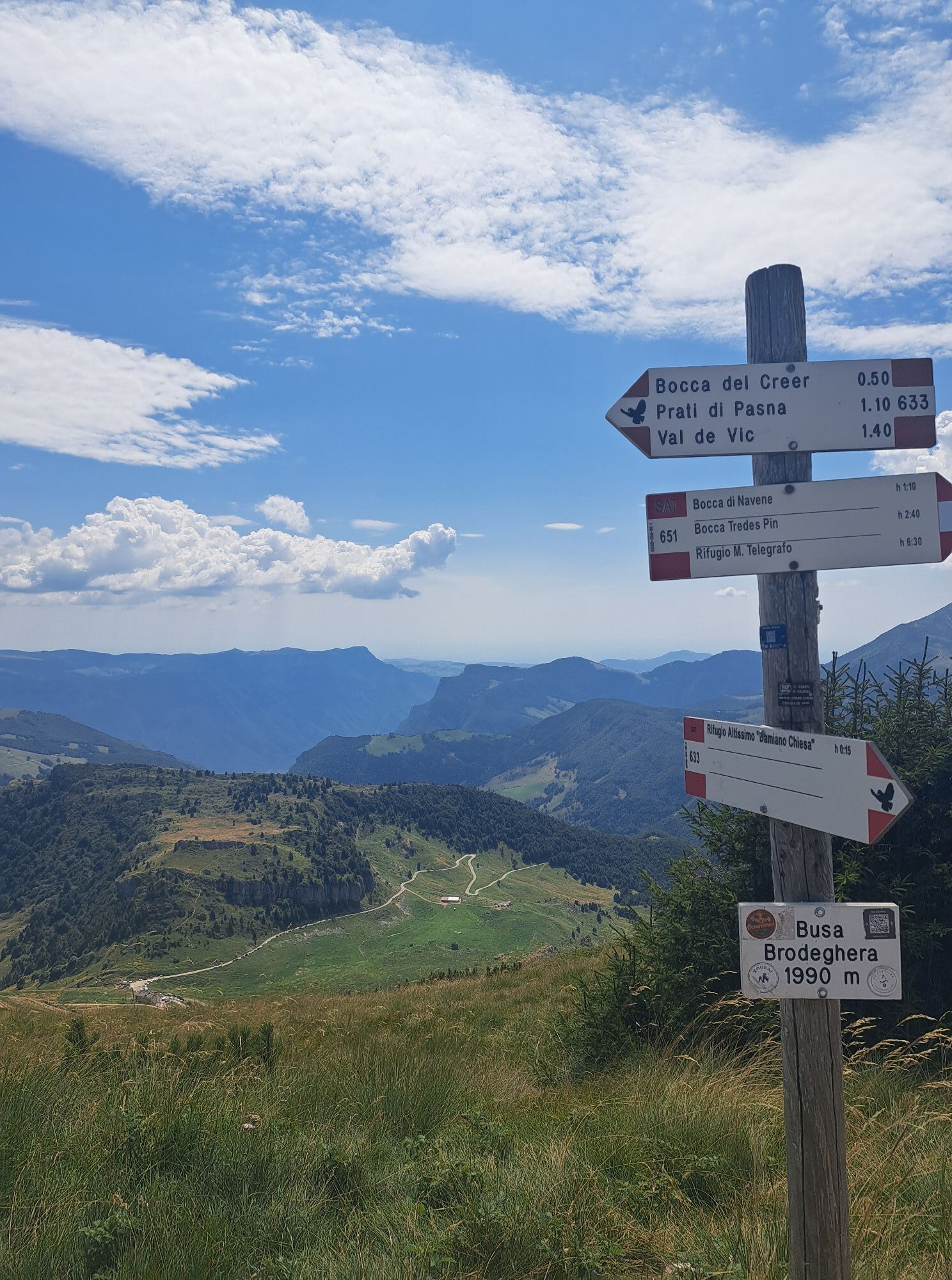
Busa Brodeghera
(1.990 m)
Aussichtspunkt
84,1 km
La Capannina
(1.766 m)
Restaurant
90,5 km
Stazione Monte Baldo
(1.752 m)
Gondelstation
90,8 km
Monte Baldo
(1.738 m)
Gondelstation
90,9 km

Noch keine Bewertungen
Webcams der Tour
Surfcenter Lido Blu
Riva del Garda - Varone
San Valentino Lift
Pista Baby
San Valentino
Riva del Garda - Trattoria Acetaia
Camping al Sole Ledrosee
Arco
Ledro - Mezzolago
Torbole - Villa Clara
Riva del Garda - Porto
Torbole - Residence Casa al Sole
Torbole - Hotel Lido Blu
Riva del Garda - Bastione
Ledro Mezzolago
Gardasee - Malcesine
Beliebte Touren in der Nähe
- 5,0
Der Bastione und Santa Barbara, die Herrschaften von Riva del Garda
mittelWanderung 2,94 km - 5,0
Via Ferrata Signora delle Acque - Rio Ruzza
schwerKlettersteig 5,32 km - 4,8
Bocca Fortini - Tour
schwerMountainbike 35,4 km - 4,8
Sentiero Busatte Tempesta
leichtWanderung 7,90 km - 4,8
Via Ferrata Rio Sallagoni
mittelKlettersteig 2,75 km - 4,7
Klettersteig Fausto Susatti - Cima Capi (von Ledro)
mittelKlettersteig 7,11 km - 4,6
Via Ferrata delle Laste e Gallerie di Cima Rocca
leichtKlettersteig 6,38 km - 4,9
Via Ferrata dell’Amicizia - Cima SAT
mittelKlettersteig 4,41 km - 4,5
Wanderrunde um den Ledrosee
leichtWanderung 9,40 km - 4,4
Tremalzo Big - Tour
schwerMountainbike 45,6 km
Wandern & Tracking

Über 550.000 Tourenvorschläge, detailliertes Kartenmaterial und ein intuitiver Routenplaner machen die App zum Must-have für alle Naturbegeisterten.

Verpasse keine Angebote und Inspirationen für deinen nächsten Urlaub
Zum Newsletter anmelden
Fehler
Ein Fehler ist aufgetreten. Bitte versuche es erneut.Vielen Dank für deine Anmeldung
Deine E-Mail-Adresse wurde in den Verteiler eingetragen.
Touren in ganz Europa
Österreich Schweiz Deutschland Italien Slowenien Frankreich Niederlande Belgien Polen Liechtenstein Tschechien Slowakei Spanien Kroatien Bosnien und Herzegowina Luxemburg Andorra Portugal Island Vereinigtes Königreich Irland Griechenland Albanien Nordmazedonien Malta Norwegen Montenegro Moldau Kosovo Ungarn San Marino Rumänien Estland Lettland Belarus Zypern Litauen Serbien Bulgarien Monaco Dänemark Schweden Finnland