


Ai piedi della Cima Piazzi

A trail that winds through beautiful landscapes, with meadows, pastures, forests and old farmhouses. Starting from Isolaccia, in Valdidentro, proceed to the Pezzel huts and then enter the splendid Val...
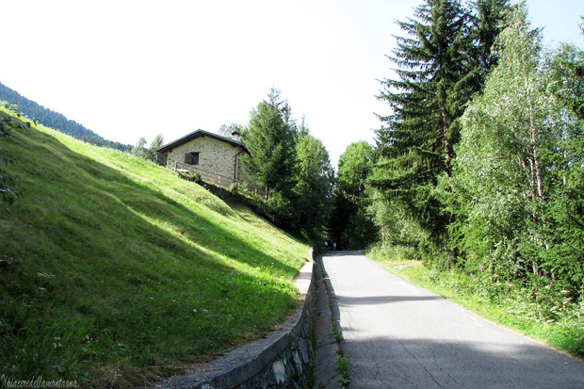
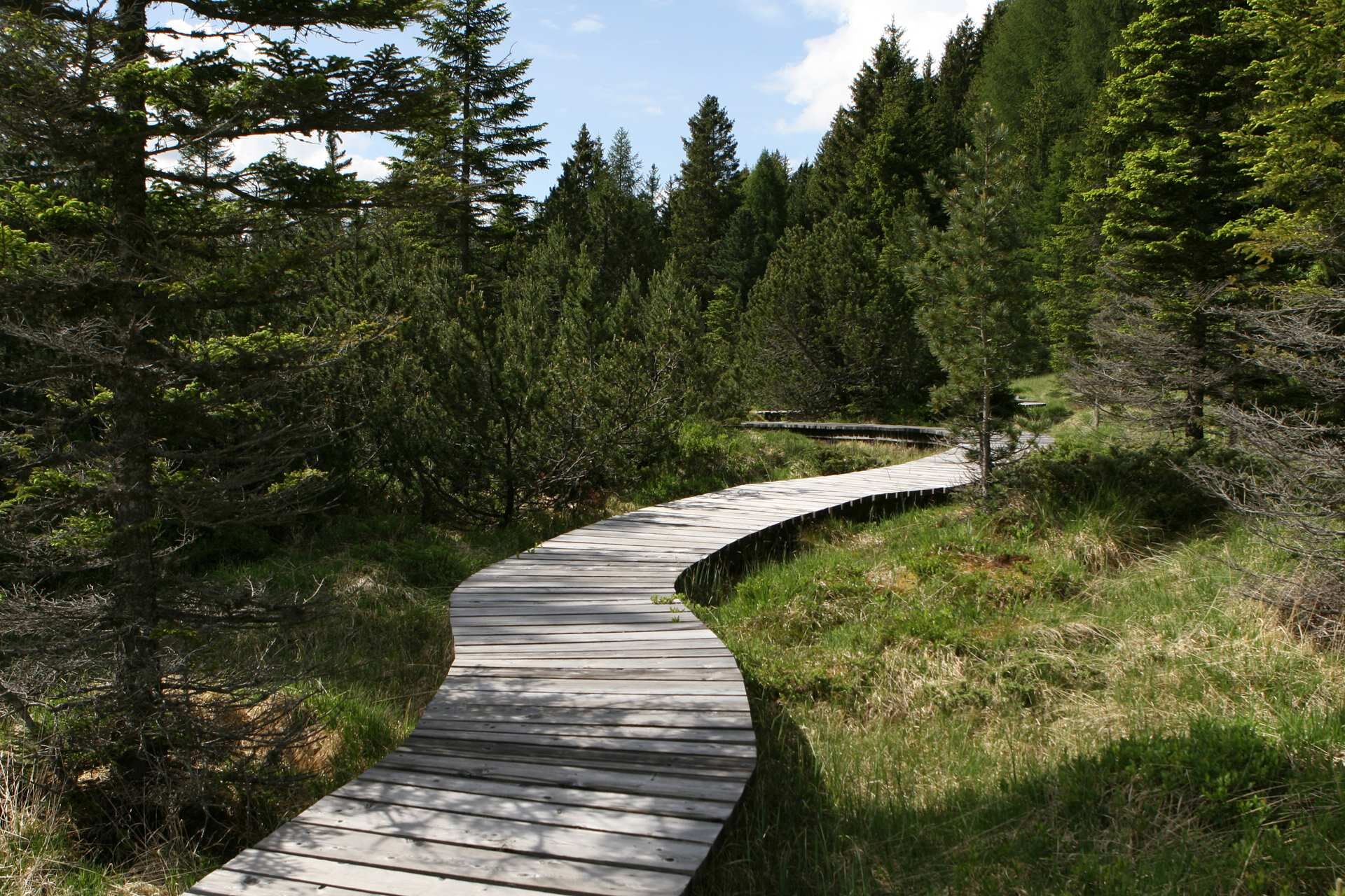
A trail that winds through beautiful landscapes, with meadows, pastures, forests and old farmhouses. Starting from Isolaccia, in Valdidentro, proceed to the Pezzel huts and then enter the splendid Val Bocciana and Val di Fochin. From here, head toward the Fort of Oga, in Valdisotto, and after passing Le Motte, turn towards Planecc, an ideal place for a picnic. The last stretch, the paved path along the river Adda, takes you to the Pentagono of Bormio.

Isolaccia - Pian de Li Astela - Pezzel - Val Bocciana - Cuna Alta - Val di Fochin - Forte di Oga - Le Motte - Planecc - Pentagono di Bormio
E-BIKE: 2 batteries
Webcams der Tour
-
Bormio 2000
-
Piste Stelvio
-
Bormio 2000
-
Bormio 2000
-
Bormio 2000
-
Bormio 2000
-
Bormio 2000
-
Bormio 2000
-
Bormio 2000
-
Bormio Terme
-
Bormio Terme
-
Bormio Terme
-
La Rocca
-
Parterre Pista Stelvio
-
La Rocca
-
La Rocca
-
La Rocca
-
La Rocca
-
Parterre Pista Stelvio
-
Piazza Kuerc
-
Piazza Kuerc
-
Piazza Kuerc
-
Piazza Kuerc
-
Uzza - Valfurva
-
Arrivo Cabinovia Cima Piazzi
-
Arrivo Cabinovia Cima Piazzi
-
Arrivo Cabinovia Cima Piazzi
-
Arrivo Cabinovia Cima Piazzi
-
Arrivo Cabinovia Cima Piazzi
-
Teleir - Oga
-
Teleir - Oga
-
Teleir - Oga
-
Teleir - Oga
-
Teleir - Oga
Beliebte Touren in der Nähe
-
4,3
Sonnenaufgang auf der Rötelspitze im Nationalpark Stilfserjoch
Wanderung 2,02 km -
3,4
Sta.Maria, Prà da Vau - Lai da Rims - Alp Sot - Prà da Vau
schwerWanderung 14,7 km -
5,0
Crap da la Pare' mit Joëlette
leichtWanderung 4,58 km -
4,5
Die Cima Coppi
schwerRennrad 20,9 km -
5,0
TIPP Panoramastraße Tirol ➤ Stilfser Joch
leichtMotorrad 40,8 km -
2,0
Militärhistorischer Wanderweg "Scorluzzo"
mittelWanderung 9,52 km -
5,0
Piz Umbrail und Abstieg zum Lai da Rims
schwerHochtour 15,0 km -
3,0
Val Mora
mittelWanderung 21,6 km -
5,0
444.02: Nationalpark Bike-Tour 2. Etappe
schwerMountainbike 39,6 km -
Bergwerk
mittelSkitour 4,78 km
Wandern & Tracking


Verpasse keine Angebote und Inspirationen für deinen nächsten Urlaub
Deine E-Mail-Adresse wurde in den Verteiler eingetragen.