Via Grand Colombier
leicht
Hol diese Tour auf dein Handy
Via Grand Colombier
leicht
Rennrad
8,58
km
QR-Code scannen und Navigation in der bergfex App beginnen

Wandern & Tracking


Via Grand Colombier
leicht
Distanz
8,58
km
Dauer
00:24
h
Aufstieg
3
hm
Seehöhe
231 -
239
m
Track-Download
Via Grand Colombier
leicht
Rennrad
8,58
km
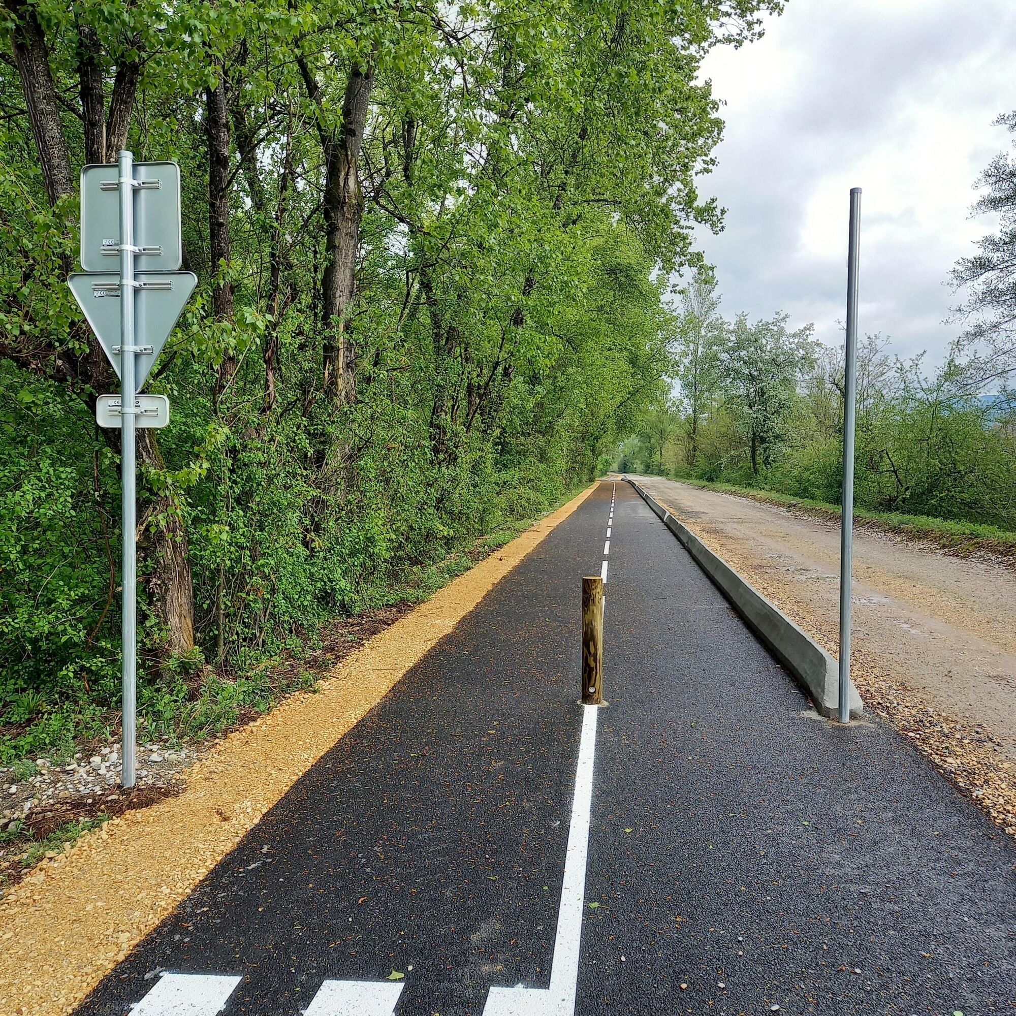
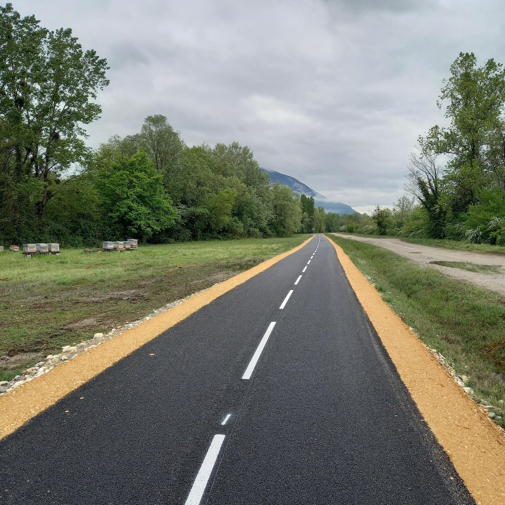
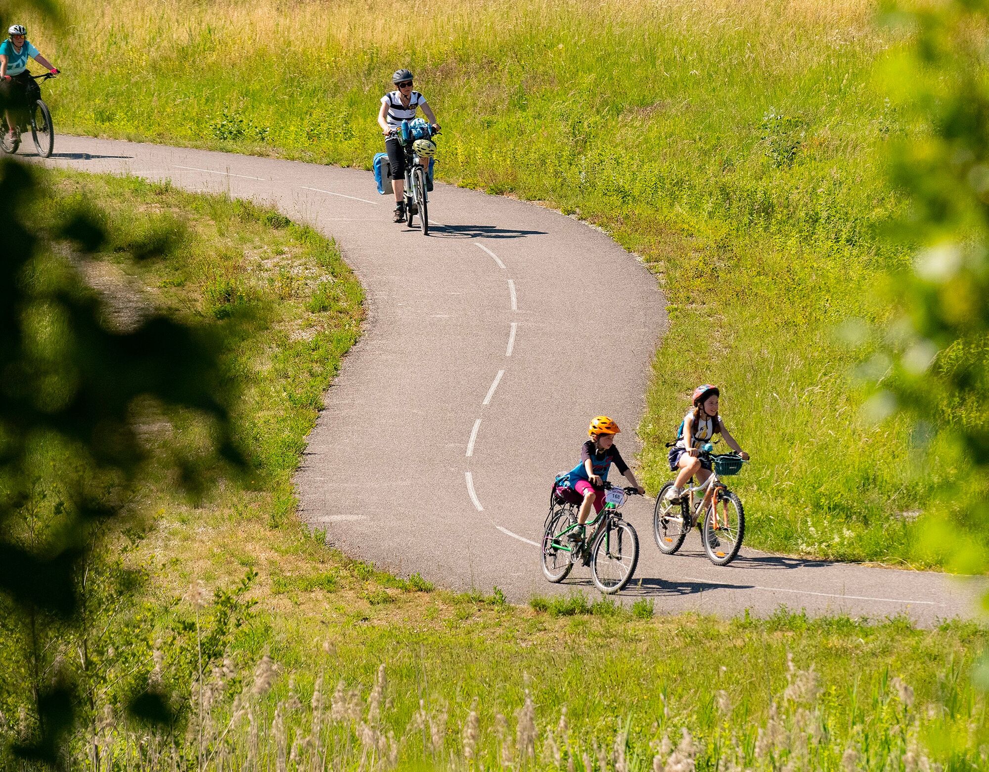
The Grand Colombier cycling route is a pleasant, flat, and safe route along the river. Built along the Rhône River, this cycle path, opened in 2026, allows you to enjoy a remarkable natural environment...
Beschreibung
The Grand Colombier cycling route is a pleasant, flat, and safe route along the river. Built along the Rhône River, this cycle path, opened in 2026, allows you to enjoy a remarkable natural environment while traveling in complete tranquility.
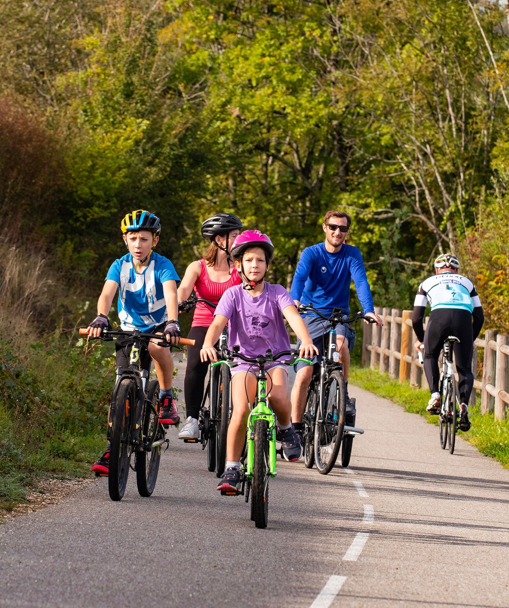
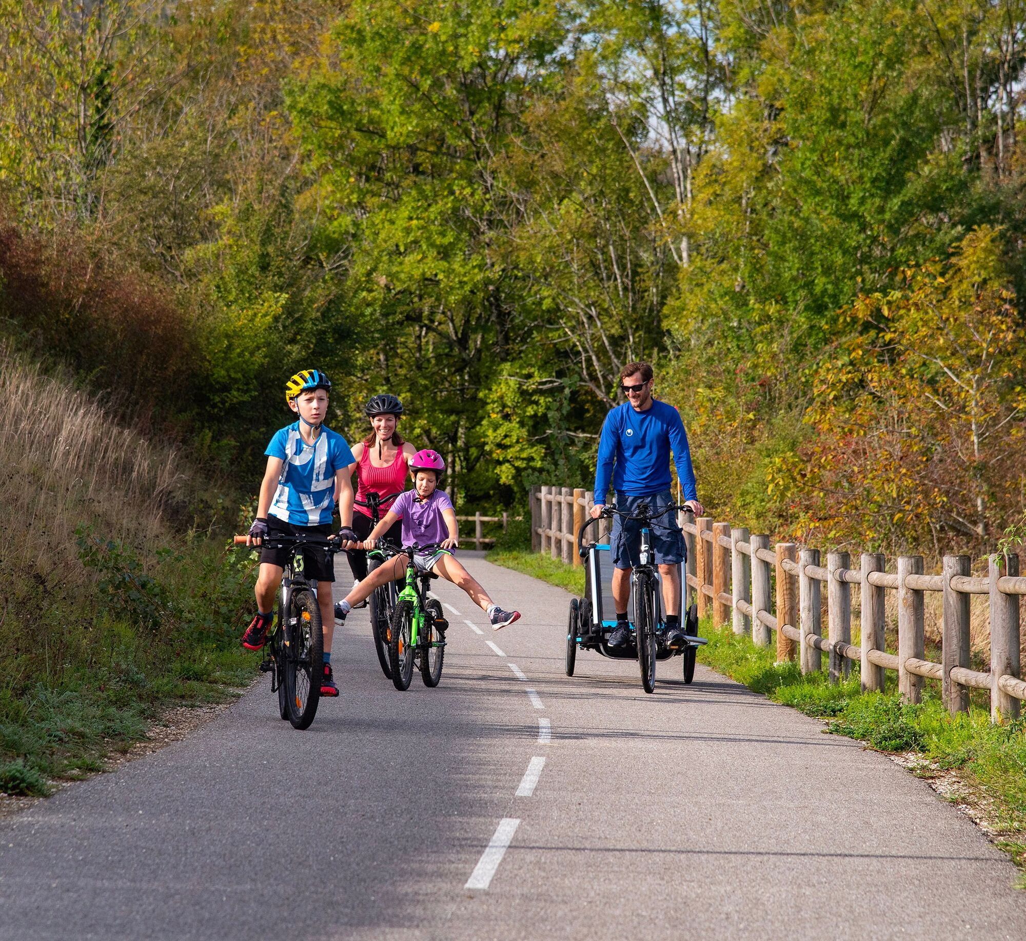
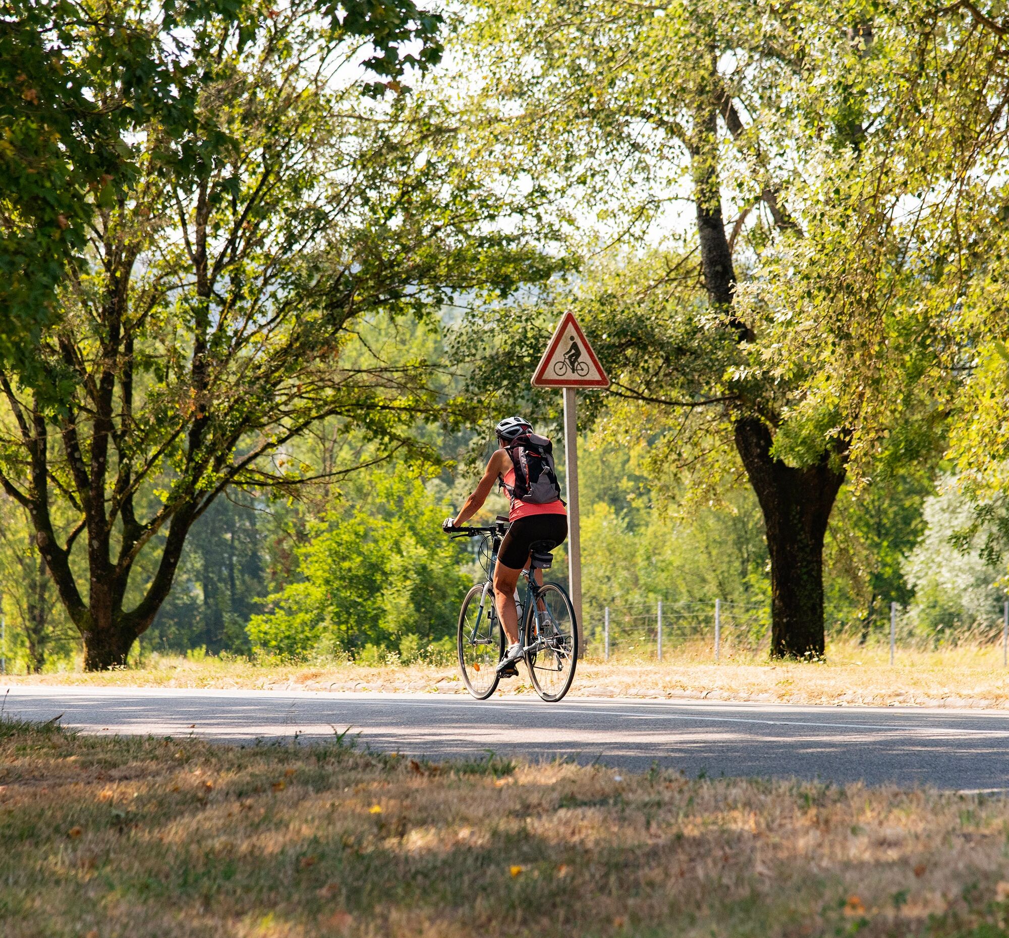
Accessible to all, it can be cycled as an out-and-back route on a dedicated and safe path, ideal for family bike rides. It is also accessible for rollerblading or roller skiing. Its flat and comfortable route makes it suitable for both families and more athletic cyclists who wish to use this cycle path to reach the legendary Grand Colombier or the many small roads in this part of the Bugey region.
For those who prefer longer routes, it is also possible to create a loop of approximately 20 km by joining the ViaRhôna cycle route located on the other bank of the Rhône. These connections via the Pont de la Loi and the Cressin-Rochefort bridge offer varied scenery and allow you to fully enjoy both banks of the river.
Several starting points are recommended: parking at the port of Massignieu de Rives, at L'Ecoinçon, and in the village of Lavours.
The greenway is also accessible from Culoz train station, allowing for quick connections to the route by train.
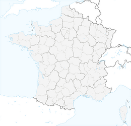
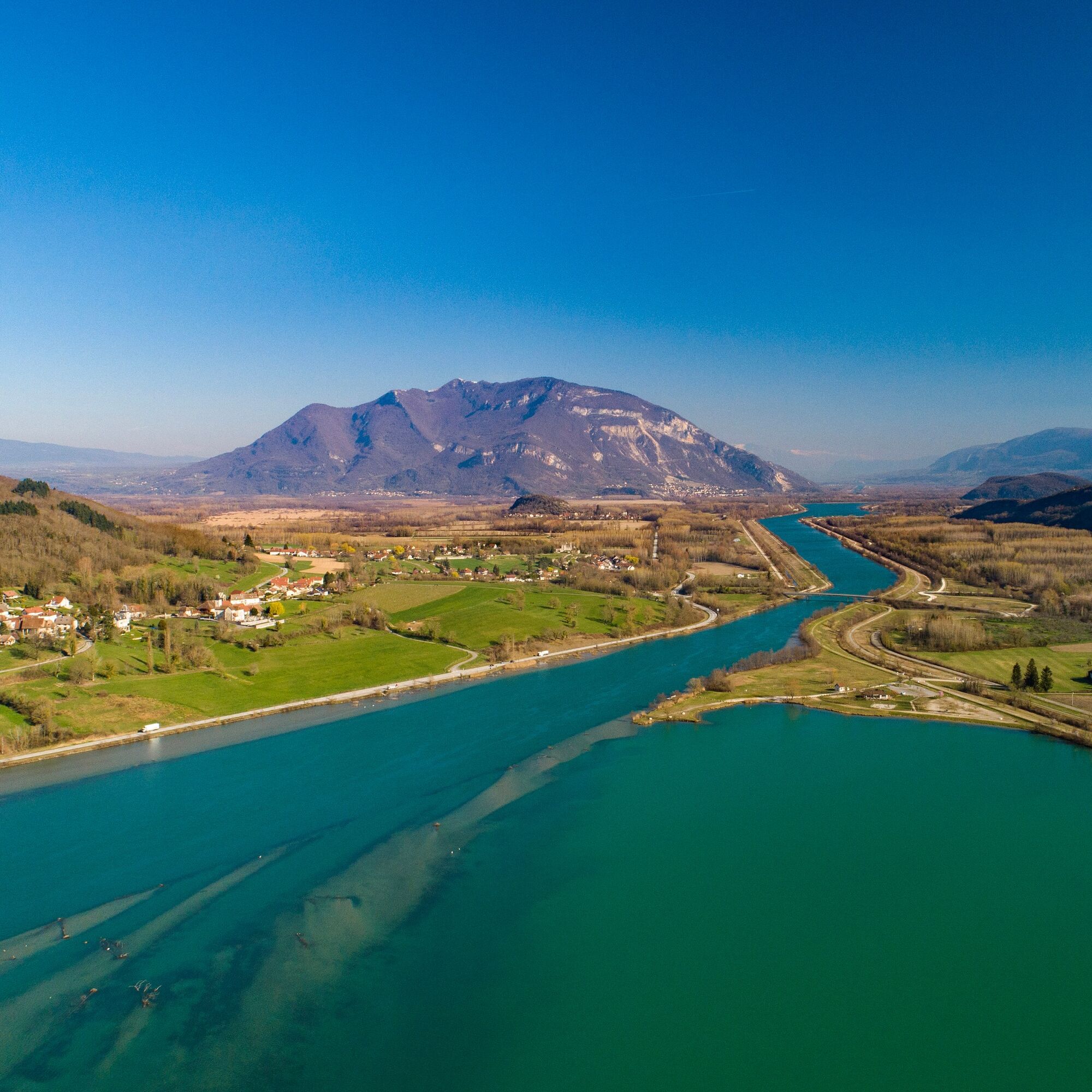
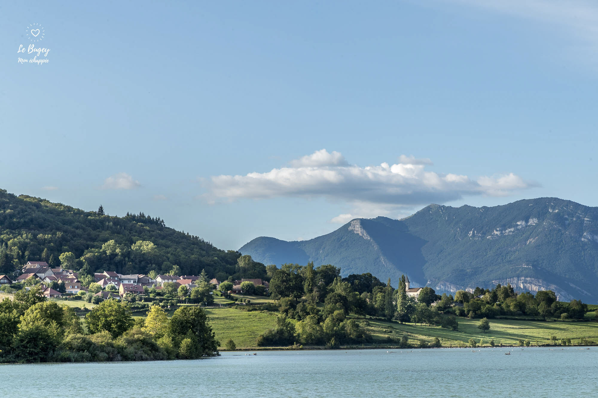
Along this new cycle path located between Cressin-Rochefort and Culoz, you will peacefully follow the Rhône River, a stone's throw from the Lavours Marsh Nature Reserve, La Paillère with its inn, river stop, and copperworks, all with the Grand Colombier massif, the highest peak in the Bugey region and a legendary climb of the Tour de France, as a backdrop.
Accessible to all, it can be cycled as an out-and-back route on a dedicated and safe path, ideal for family bike rides. It is also accessible for rollerblading or roller skiing. Its flat and comfortable route makes it suitable for both families and more athletic cyclists who wish to use this cycle path to reach the legendary Grand Colombier or the many small roads in this part of the Bugey region.
For those who prefer longer routes, it is also possible to create a loop of approximately 20 km by joining the ViaRhôna cycle route located on the other bank of the Rhône. These connections via the Pont de la Loi and the Cressin-Rochefort bridge offer varied scenery and allow you to fully enjoy both banks of the river.
Several starting points are recommended: parking at the port of Massignieu de Rives, at L'Ecoinçon, and in the village of Lavours.
The greenway is also accessible from Culoz train station, allowing for quick connections to the route by train.
Along this new cycle path located between Cressin-Rochefort and Culoz, you will peacefully follow the Rhône River, a stone's throw from the Lavours Marsh Nature Reserve, La Paillère with its inn, river stop, and copperworks, all with the Grand Colombier massif, the highest peak in the Bugey region and a legendary climb of the Tour de France, as a backdrop.
Wegverlauf
Palière
(233 m)
Siedlung
3,3 km
Les Gravillots
(234 m)
Flur/Gelände
4,5 km
Lavours
(232 m)
Dorf
5,2 km
Communal de Lavours
(236 m)
Flur/Gelände
5,6 km
Cressin-Rochefort
(244 m)
Dorf
8,0 km
Wegverlauf
Via Grand Colombier
leicht
Rennrad
8,58
km
En Malet
(237 m)
Flur/Gelände
2,5 km
Palière
(233 m)
Siedlung
3,3 km
Les Gravillots
(234 m)
Flur/Gelände
4,5 km
Île du Mouton
(234 m)
Flur/Gelände
4,8 km
Lavours
(232 m)
Dorf
5,2 km
Communal de Lavours
(236 m)
Flur/Gelände
5,6 km
Cressin-Rochefort
(244 m)
Dorf
8,0 km
Autor
Bereitgestellt von Bugey Sud Grand Colombier Tourisme
Die Tour Via Grand Colombier wird von outdooractive.com bereitgestellt.

Weginformationen
Einwegtour
Ja
Noch keine Bewertungen
Beliebte Touren in der Nähe
- 4,0
Wanderung: Le golet au loup
leichtWanderung 7,11 km - 3,0
Wanderung: Kammstrecke Grand Colombier
mittelWanderung 11,3 km - 1,0
Wandern: Schaltung des Clairefontaine-Wasserfalls
leichtWanderung 5,46 km Randonnée des Gorges de Thurignin
schwerWanderung 14,2 kmWanderroute: Der Armaille-See
leichtWanderung 9,42 kmRandonnée pédestre : le circuit du Sorbier
leichtWanderung 11,4 kmFahrradrunde: Marais de Lavours und Weingüter des Bugey
leichtRennrad 33,1 kmFußwanderroute: Das Leben des Wolfes
leichtWanderung 7,22 kmRandonnée du Grand Colombier depuis Munet
schwerWanderung 16,0 kmWanderroute: See und Weinberge
leichtWanderung 9,76 km
Wandern & Tracking

Über 550.000 Tourenvorschläge, detailliertes Kartenmaterial und ein intuitiver Routenplaner machen die App zum Must-have für alle Naturbegeisterten.

Verpasse keine Angebote und Inspirationen für deinen nächsten Urlaub
Zum Newsletter anmelden
Fehler
Ein Fehler ist aufgetreten. Bitte versuche es erneut.Vielen Dank für deine Anmeldung
Deine E-Mail-Adresse wurde in den Verteiler eingetragen.
Touren in ganz Europa
Österreich Schweiz Deutschland Italien Slowenien Frankreich Niederlande Belgien Polen Liechtenstein Tschechien Slowakei Spanien Kroatien Bosnien und Herzegowina Luxemburg Andorra Portugal Island Vereinigtes Königreich Irland Griechenland Albanien Nordmazedonien Malta Norwegen Montenegro Moldau Kosovo Ungarn San Marino Rumänien Estland Lettland Belarus Zypern Litauen Serbien Bulgarien Monaco Dänemark Schweden Finnland