
Cycling loop on the banks of the Rhône river: easy loop on cycling paths
leicht
Hol diese Tour auf dein Handy
Cycling loop on the banks of the Rhône river: easy loop on cycling paths
leicht
Rennrad
24,72
km
QR-Code scannen und Navigation in der bergfex App beginnen


Wandern & Tracking



Cycling loop on the banks of the Rhône river: easy loop on cycling paths
leicht
Distanz
24,7
km
Dauer
01:10
h
Aufstieg
28
hm
Seehöhe
229 -
243
m

Navigiere deine Tour in der App
Installiere die App kostenlos und behalte die Strecke im Blick, mit GPS-Navigation und Tracking.
Nutze bergfex jetzt in der App
Scanne den QR-Code mit deiner Kamera
Ist die App installiert, öffnet sich der Inhalt direkt. Hast du die App noch nicht, gelangst du zum kostenlosen Download.
Schwierigkeitsgrad: 1
Track-Download
Cycling loop on the banks of the Rhône river: easy loop on cycling paths
leicht
Rennrad
24,72
km
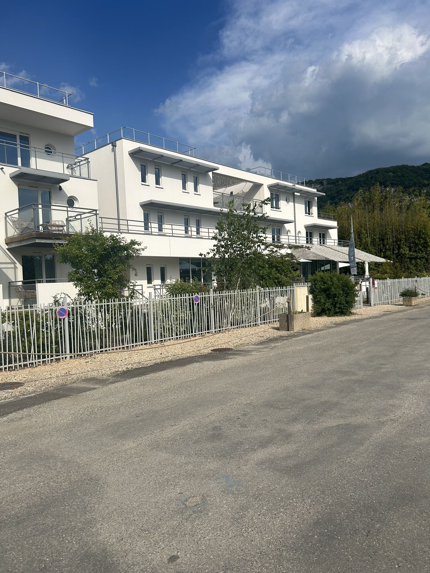
Starting from the port of Massignieu-de-Rives, the Culoz train station, or the Pont de la Loi, enjoy a leisurely loop along both banks of the Rhône River.
Ideal for families, this roughly 20-kilometer loop...
Beschreibung
Starting from the port of Massignieu-de-Rives, the Culoz train station, or the Pont de la Loi, enjoy a leisurely loop along both banks of the Rhône River.
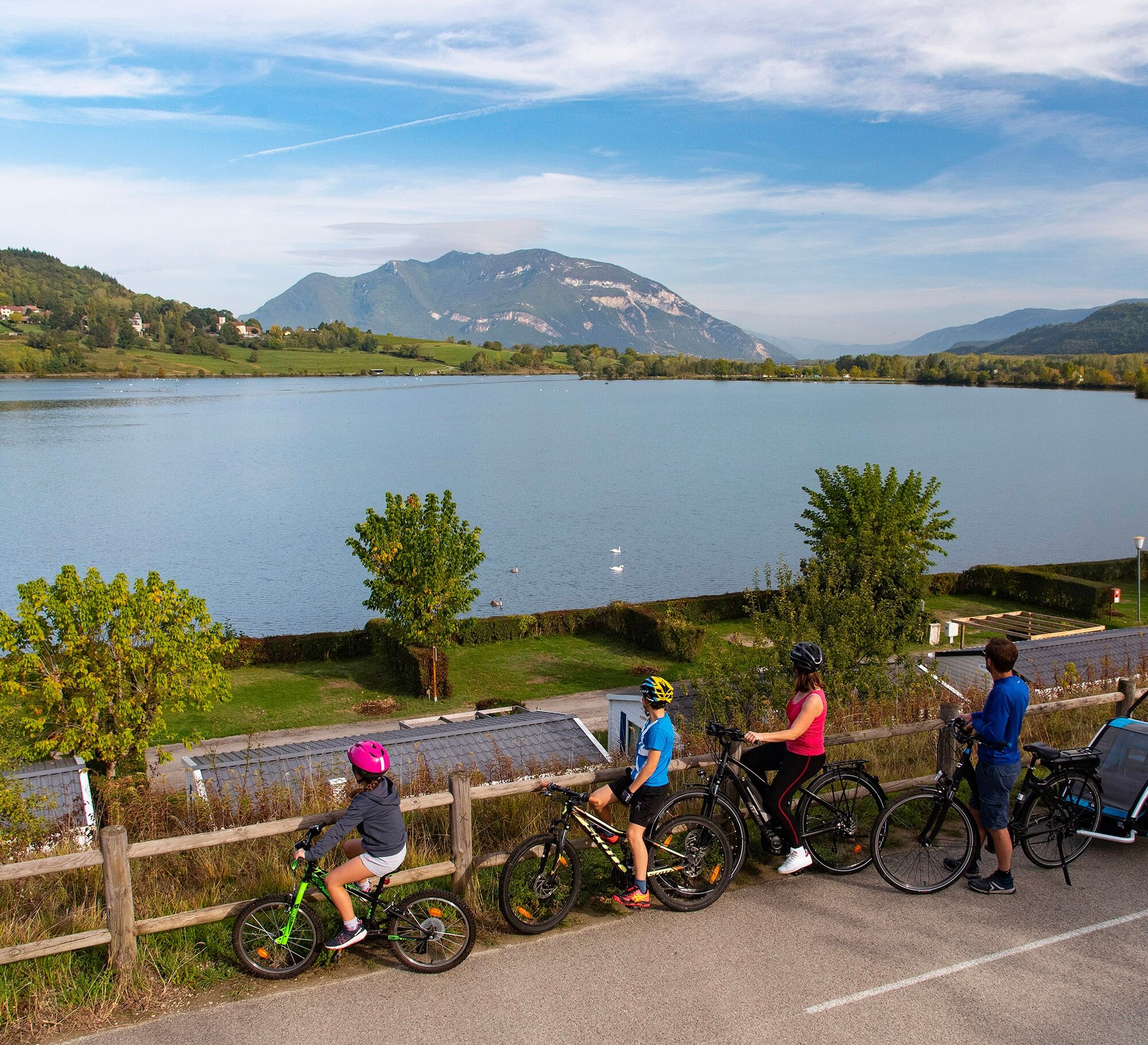
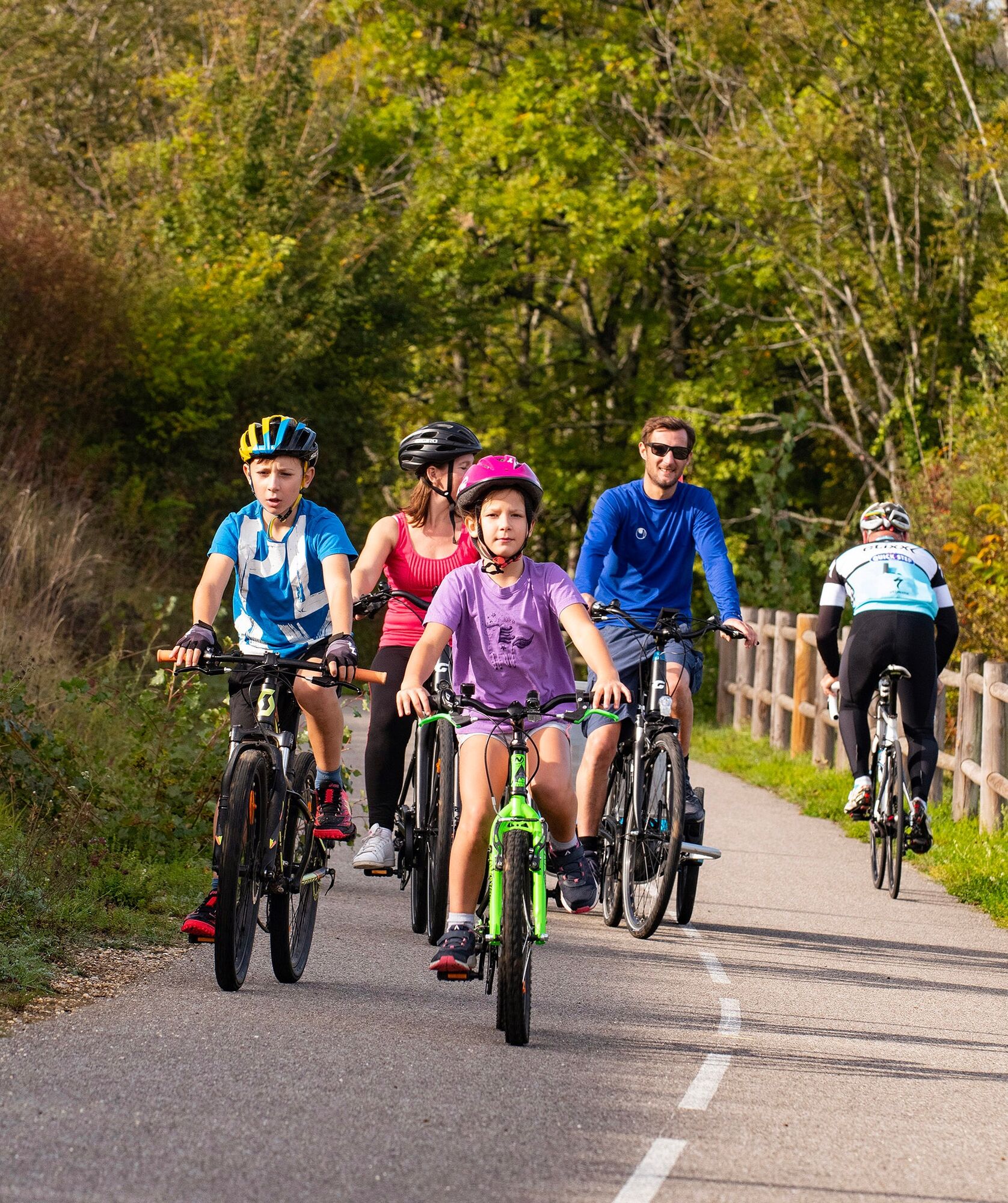
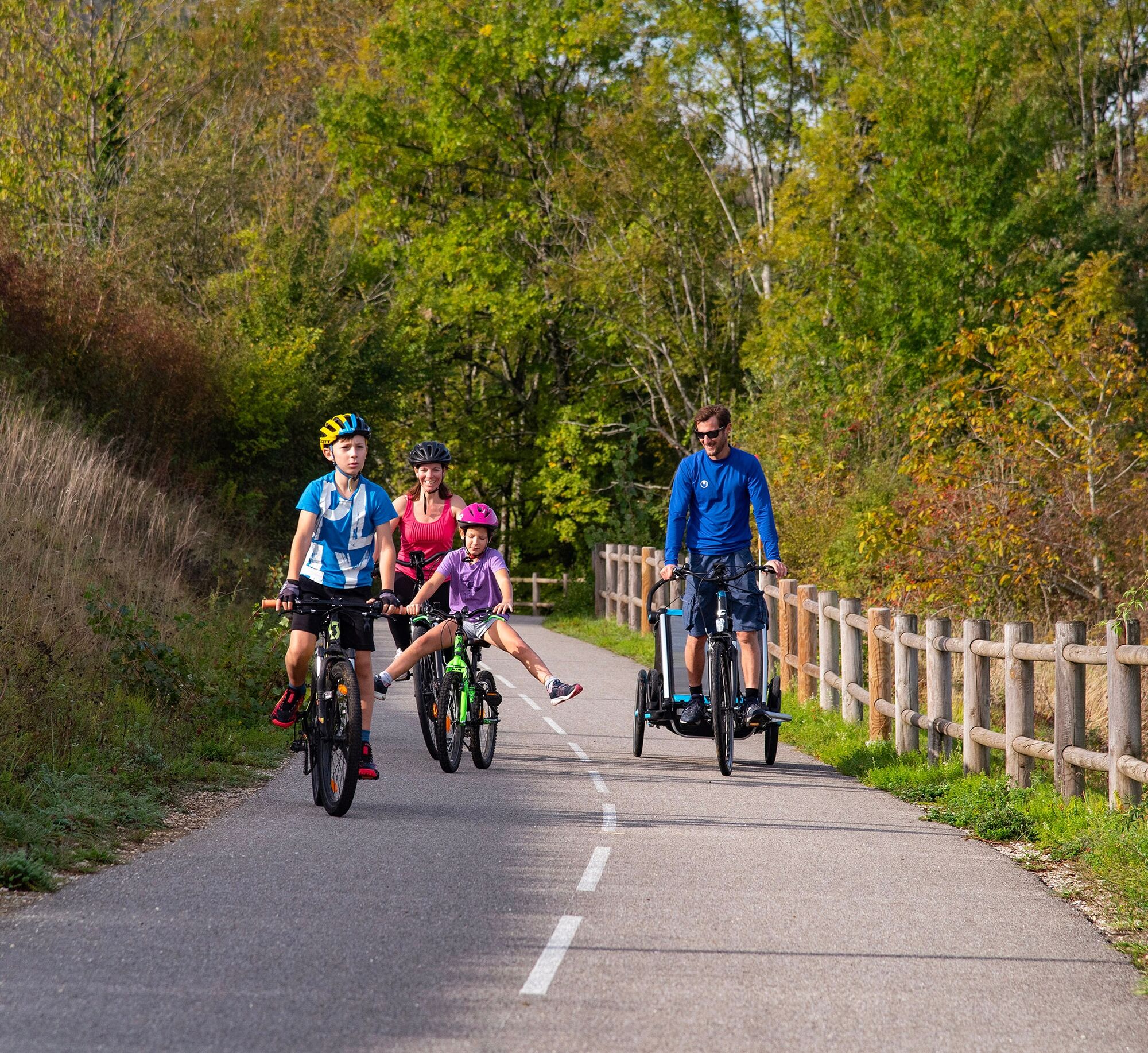
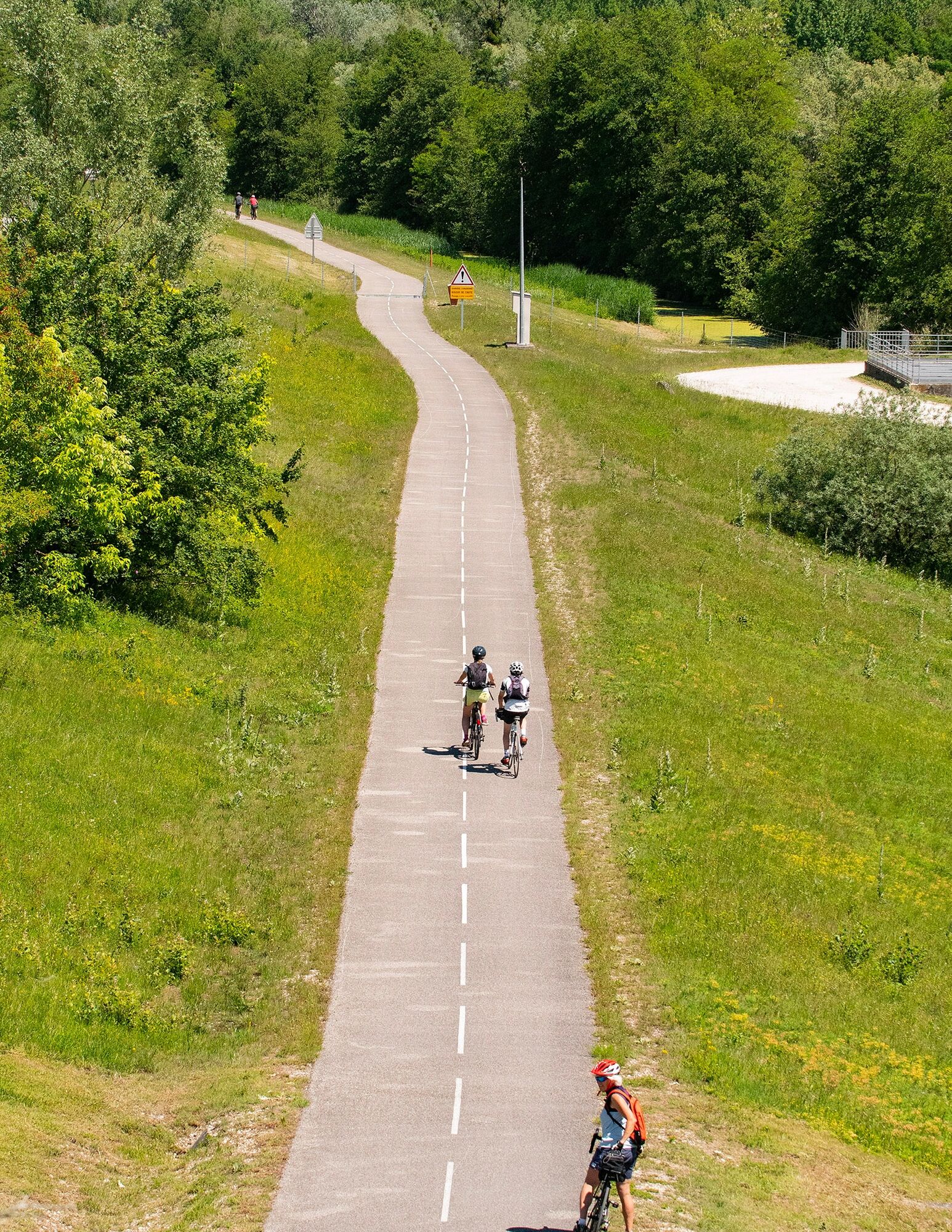
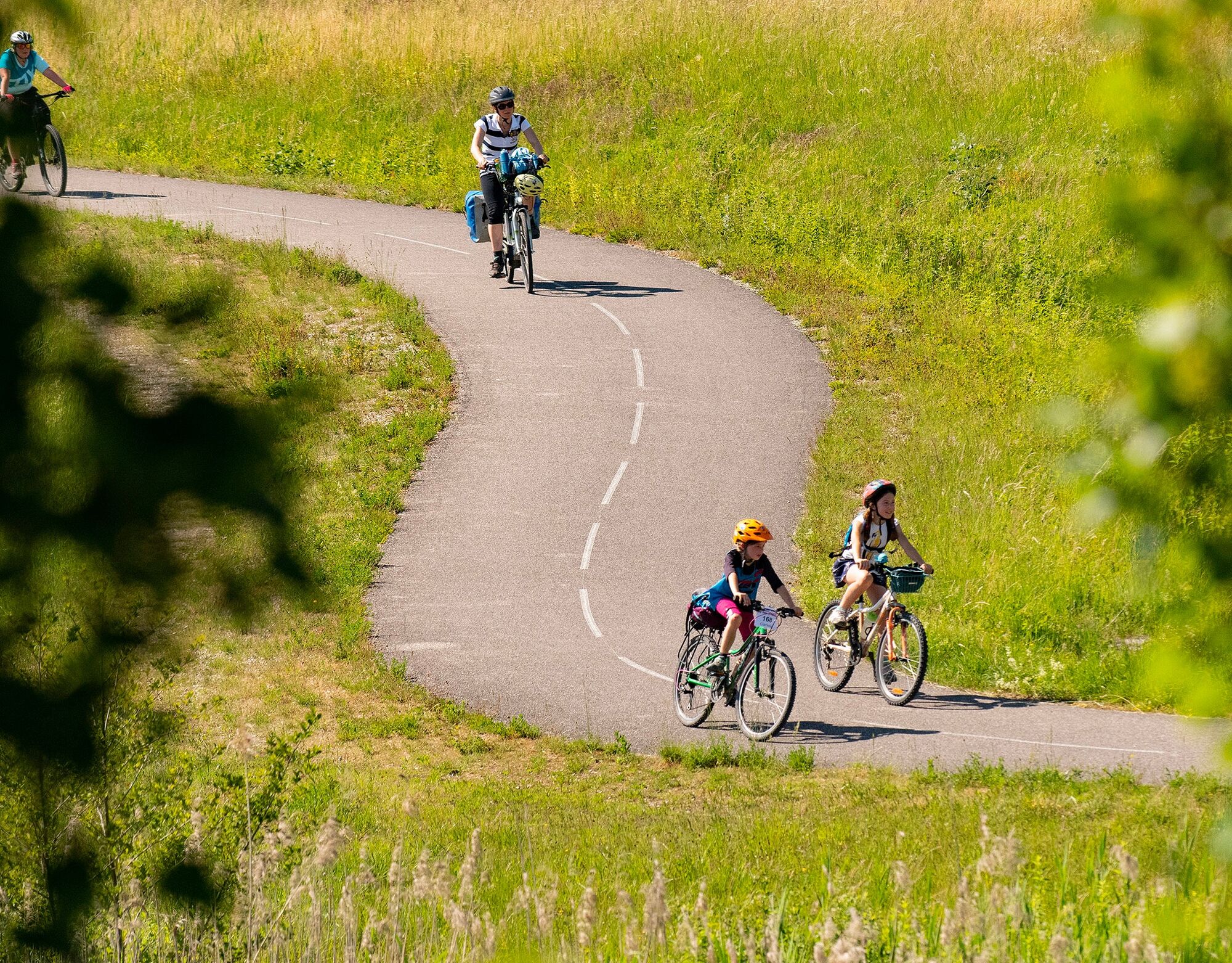
Ideal for families, this roughly 20-kilometer loop with no elevation gain is composed almost entirely of cycle paths.
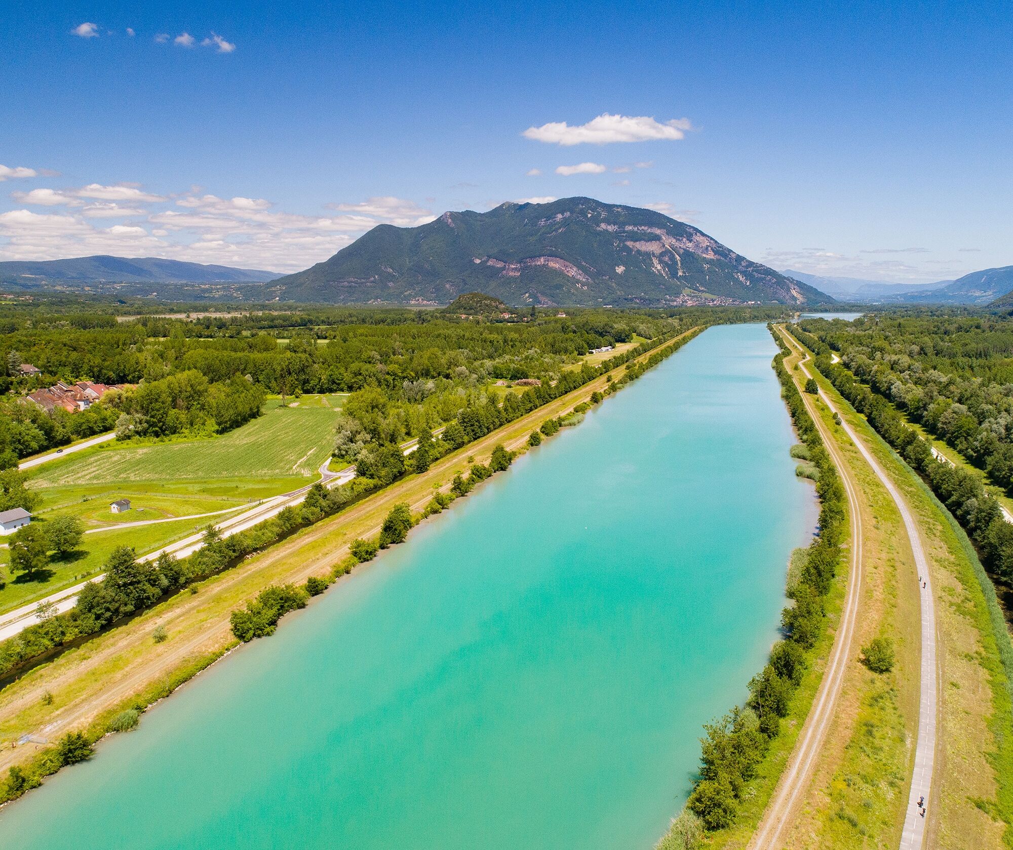
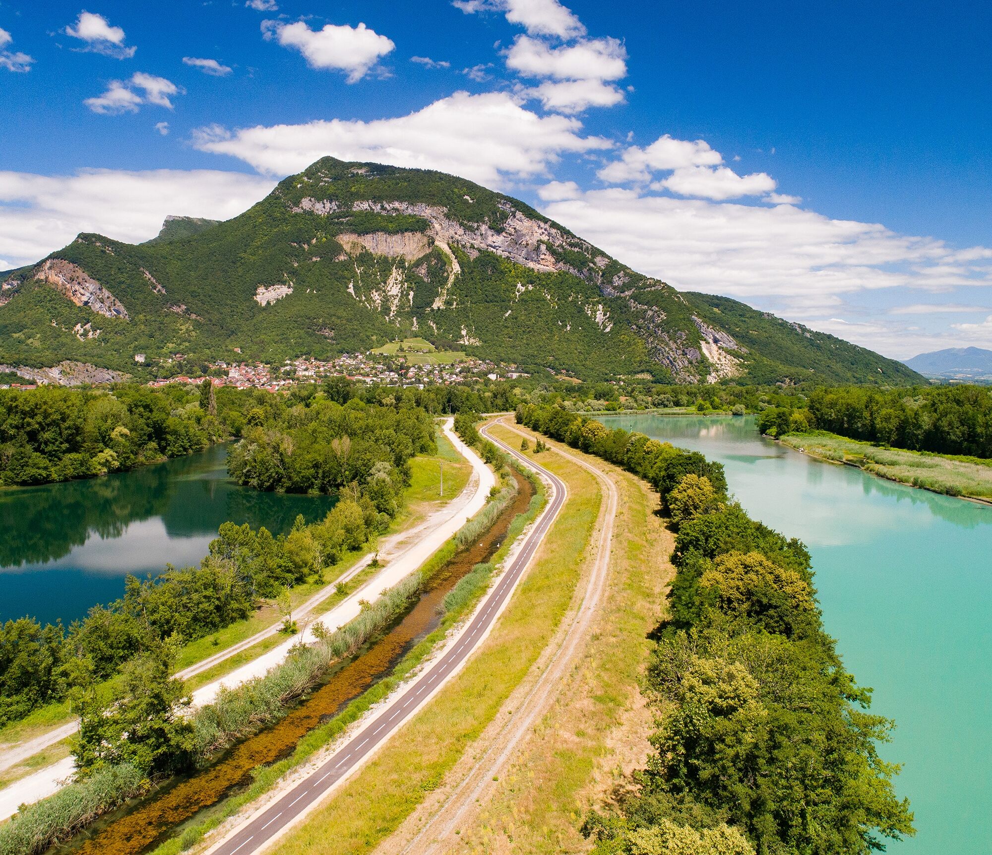
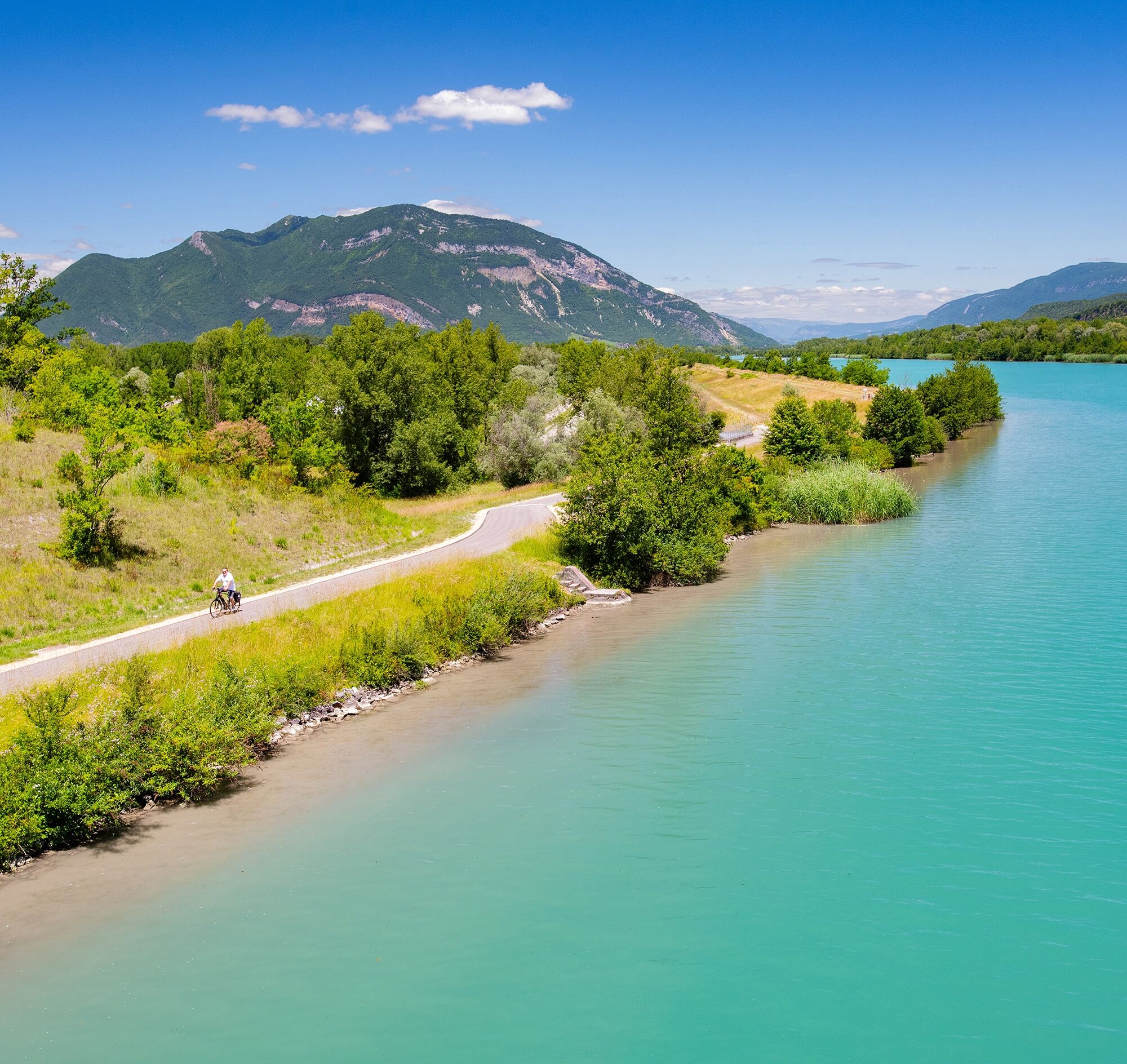
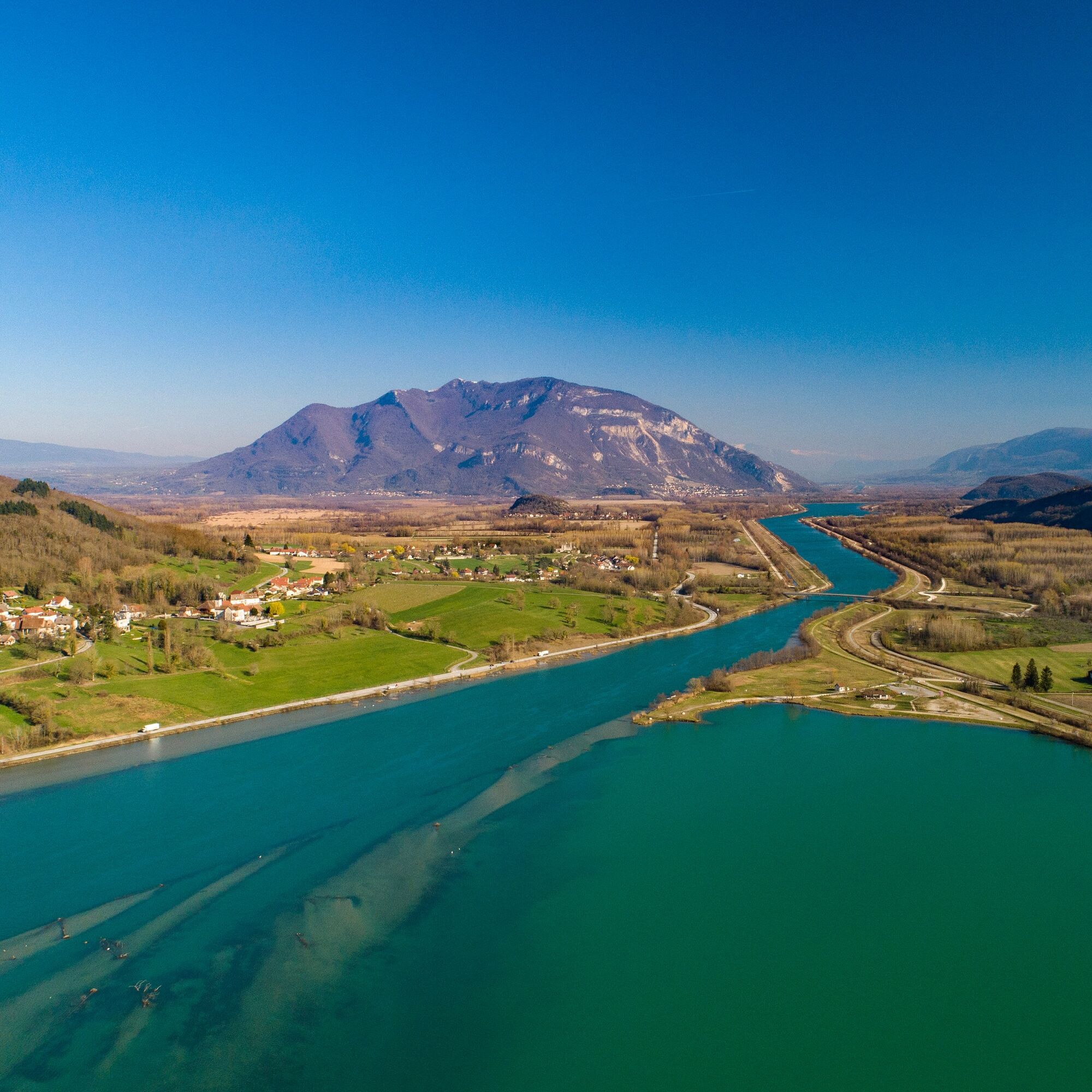
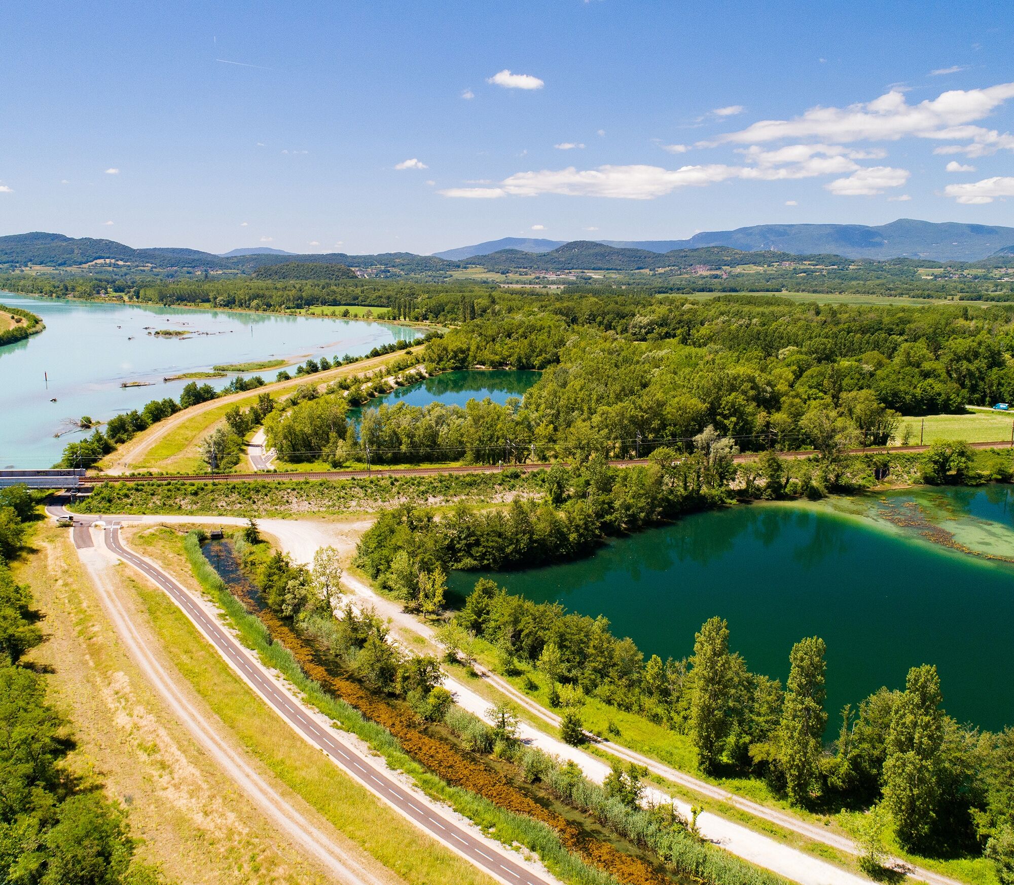
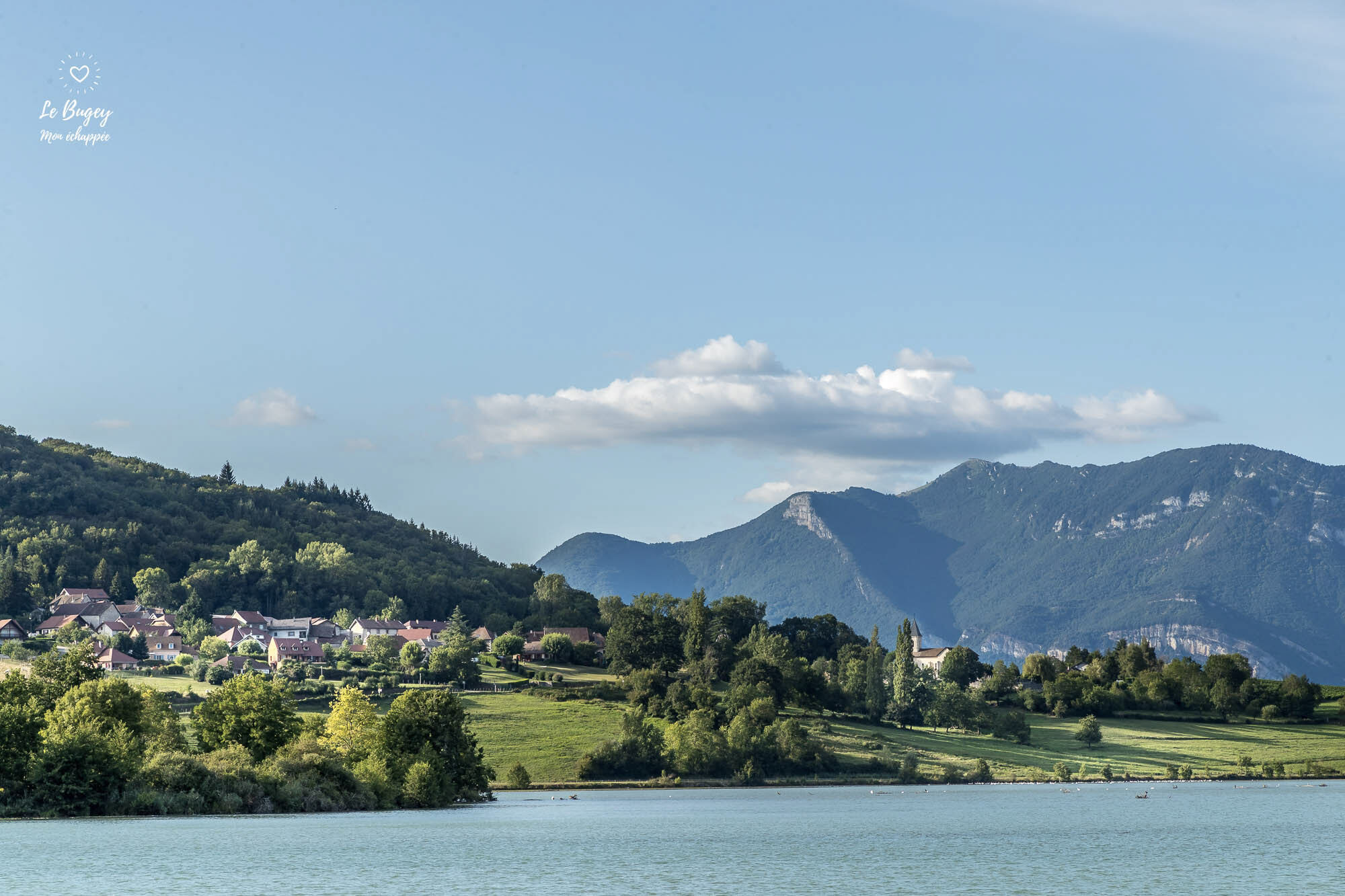
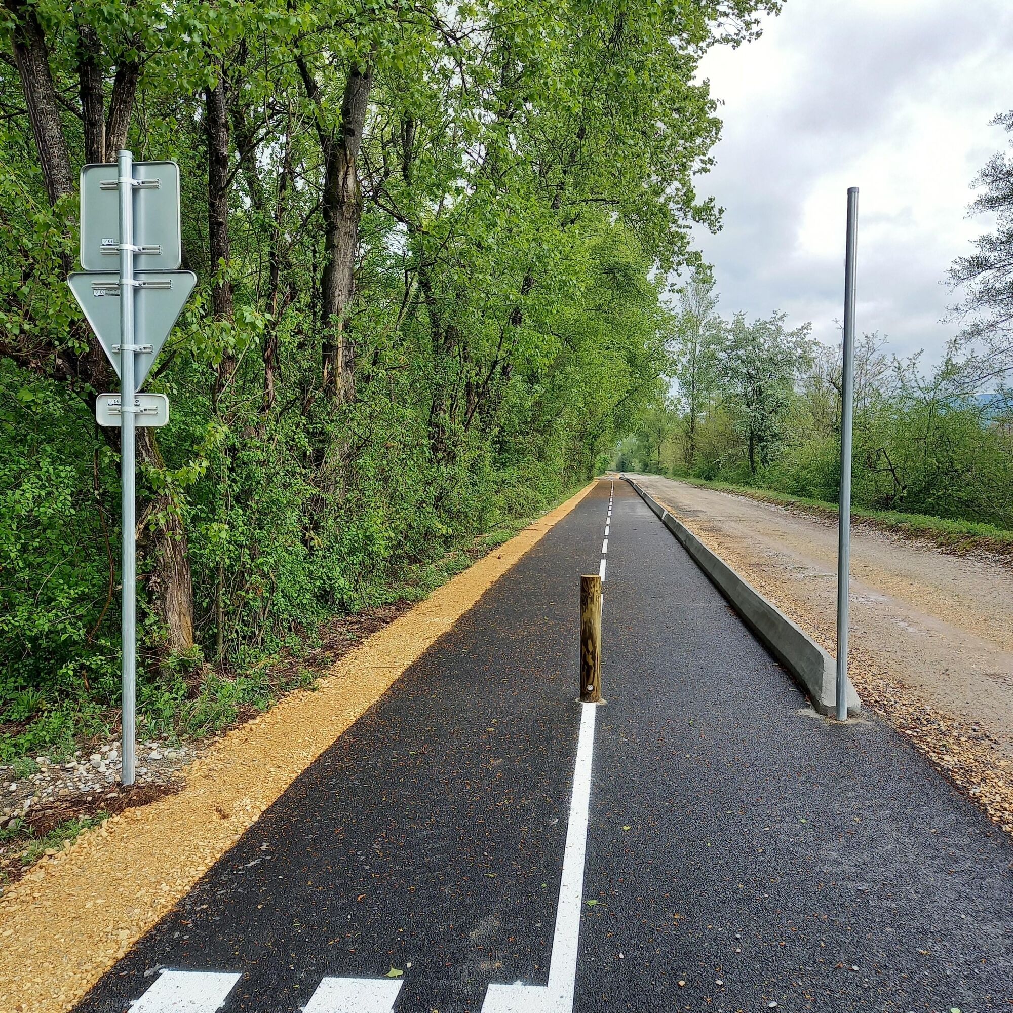
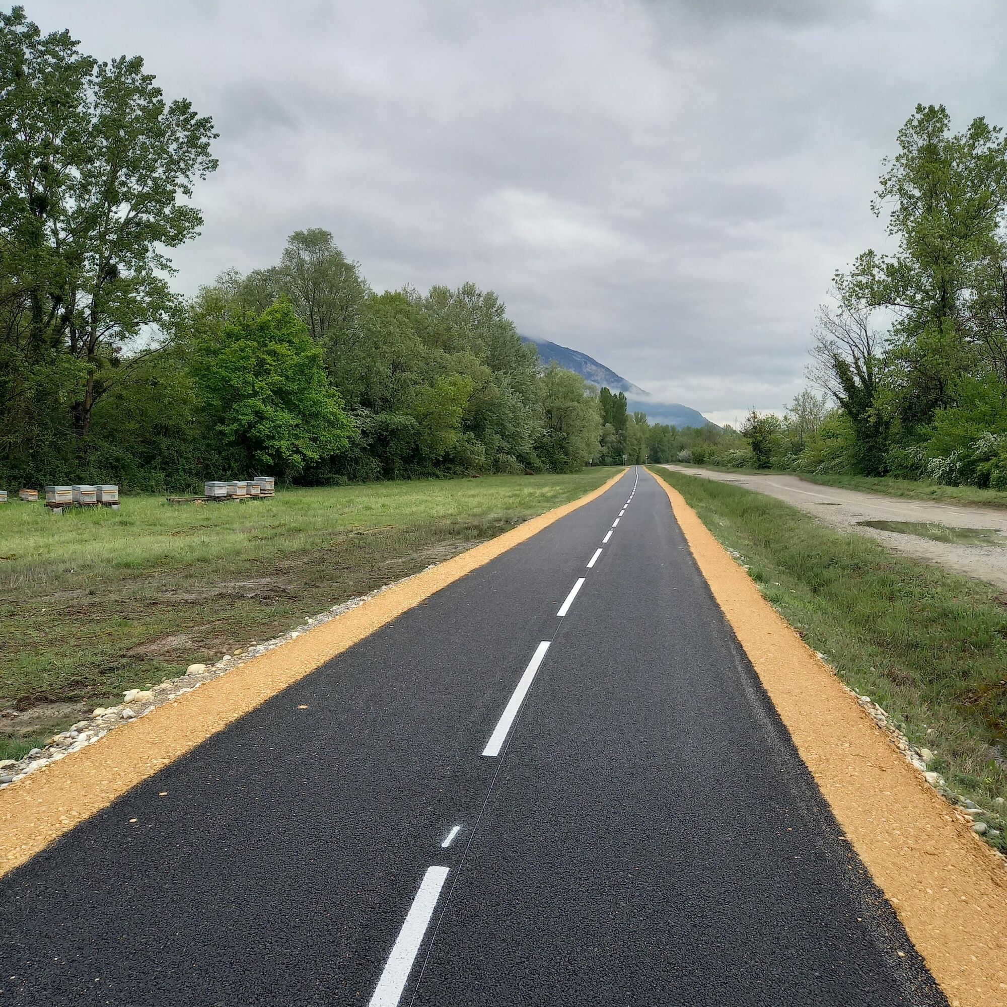
On the Ain side, you'll discover the Via Grand Colombier, a new cycle path located between Cressin-Rochefort and Culoz. With the Grand Colombier massif, the highest peak in the Bugey region and a legendary Tour de France climb, as a backdrop, you'll peacefully follow the Rhône River, just a stone's throw from the Marais de Lavours nature reserve, La Paillère with its inn, river stop, and copperworks.
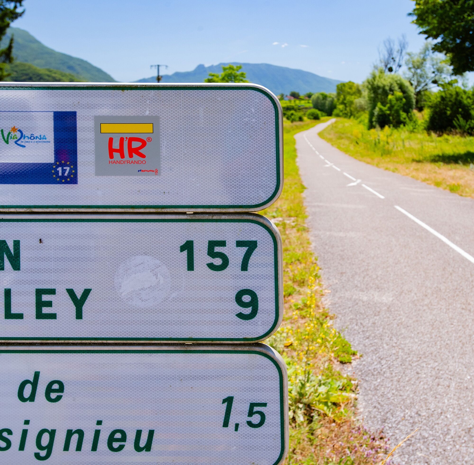
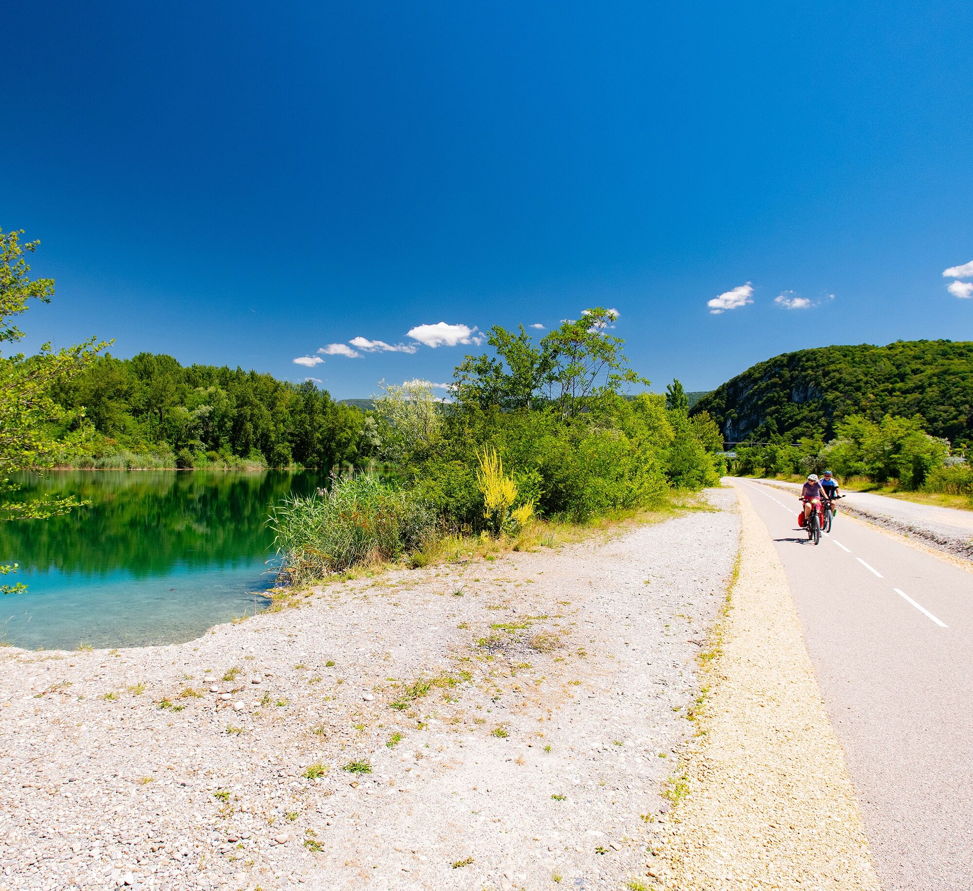
On the Savoie side, from the Pont de la Loi to the Cressin-Rochefort bridge, you'll discover the ViaRhôna, a cycling route between Lake Geneva and the Mediterranean Sea, the Étang Bleu (Blue Pond), the small village of Vions, and the charming village of Chanaz, nicknamed the "Little Venice of Savoy," located on the Savières Canal (a canal connecting Lake Bourget, the largest natural glacial lake in France, and the Rhône River).
Two bridges must be crossed to get from one bank to the other: the Cressin-Rochefort bridge to the south, with light traffic, and the Pont de la Loi to the north. For cyclists' safety, the Pont de la Loi is equipped with a shared-space roadway (chaucidou).
Accessible by train, Culoz station is located on the Lyon-Geneva railway line.
Ideal for families, this roughly 20-kilometer loop with no elevation gain is composed almost entirely of cycle paths.
On the Ain side, you'll discover the Via Grand Colombier, a new cycle path located between Cressin-Rochefort and Culoz. With the Grand Colombier massif, the highest peak in the Bugey region and a legendary Tour de France climb, as a backdrop, you'll peacefully follow the Rhône River, just a stone's throw from the Marais de Lavours nature reserve, La Paillère with its inn, river stop, and copperworks.
On the Savoie side, from the Pont de la Loi to the Cressin-Rochefort bridge, you'll discover the ViaRhôna, a cycling route between Lake Geneva and the Mediterranean Sea, the Étang Bleu (Blue Pond), the small village of Vions, and the charming village of Chanaz, nicknamed the "Little Venice of Savoy," located on the Savières Canal (a canal connecting Lake Bourget, the largest natural glacial lake in France, and the Rhône River).
Two bridges must be crossed to get from one bank to the other: the Cressin-Rochefort bridge to the south, with light traffic, and the Pont de la Loi to the north. For cyclists' safety, the Pont de la Loi is equipped with a shared-space roadway (chaucidou).
Accessible by train, Culoz station is located on the Lyon-Geneva railway line.
Wegverlauf
BAR Restaurant "LE Lit'Rola"
(241 m)
Restaurant
0,1 km
La Tuilière
(241 m)
Siedlung
0,9 km
Île Béard
(230 m)
Siedlung
1,4 km
Lavours
(232 m)
Dorf
5,9 km
Palière
(233 m)
Siedlung
6,9 km
Mollard-Dessus
(241 m)
Siedlung
13,7 km
Chanaz
(234 m)
Dorf
17,8 km
Wegverlauf
Cycling loop on the banks of the Rhône river: easy loop on cycling paths
leicht
Rennrad
24,72
km
BAR Restaurant "LE Lit'Rola"
(241 m)
Restaurant
0,1 km
Restaurant La Table du Roi
(240 m)
Restaurant
0,7 km
La Tuilière
(241 m)
Siedlung
0,9 km
Île Béard
(230 m)
Siedlung
1,4 km
Cressin-Rochefort
(244 m)
Dorf
2,8 km
Communal de Lavours
(236 m)
Flur/Gelände
5,6 km
Lavours
(232 m)
Dorf
5,9 km
Île du Mouton
(234 m)
Flur/Gelände
6,3 km
Les Gravillots
(234 m)
Flur/Gelände
6,6 km
Palière
(233 m)
Siedlung
6,9 km
En Malet
(237 m)
Flur/Gelände
8,8 km
L'Escapade au Pont de la Loi
(238 m)
Restaurant
12,0 km
Mollard-Dessus
(241 m)
Siedlung
13,7 km
La Guinguette
(237 m)
Restaurant
14,4 km
La Muraille
(235 m)
Siedlung
15,0 km
Chanaz
(234 m)
Dorf
17,8 km
Île Béard
(230 m)
Siedlung
22,6 km
La Tuilière
(241 m)
Siedlung
23,7 km
Restaurant La Table du Roi
(240 m)
Restaurant
23,7 km
BAR Restaurant "LE Lit'Rola"
(241 m)
Restaurant
24,4 km
Autor
Bereitgestellt von Bugey Sud Grand Colombier Tourisme
Die Tour Cycling loop on the banks of the Rhône river: easy loop on cycling paths wird von outdooractive.com bereitgestellt.


Anreiseinformationen
Anreise
En voiture :
Autoroutes depuis Lyon :
A42, sortie 8 : Ambérieu-en-Bugey
A43, sortie 10 les Abrets
Départementales
D 1504 depuis Ambérieu-en-Bugey
D 992 depuis Chambéry
Öffentliche Verkehrsmittel
Il est possible de rejoindre le parcours depuis la gare de Culoz, celle-ci est située sur le troçon Lyon - Genève.
Depuis la Savoie, la gare de Vions permet aussi de rejoindre le parcours.
Depuis la Savoie, la gare de Vions permet aussi de rejoindre le parcours.
Parken
Plusieurs parkings gratuits sont recommandés :
- Le parking de l'écoinçon.
- Le parking du port de Massignieu.
- Le parking du village de Lavours.
- Le parking du rond point de la loi.
Zusatzinfos & Tipps
Schwierigkeitsgrad
1
Noch keine Bewertungen
Beliebte Touren in der Nähe
- 3,0
Wanderung: Kammstrecke Grand Colombier
mittelWanderung 11,3 km - 1,0
Wandern: Schaltung des Clairefontaine-Wasserfalls
leichtWanderung 5,46 km - 5,0
Wanderung: Lac de Barterand
leichtWanderung 7,23 km Fahrradrunde: Marais de Lavours und Weingüter des Bugey
leichtRennrad 33,1 kmFußwanderroute: Das Leben des Wolfes
leichtWanderung 7,22 kmRandonnée pédestre : le circuit du Sorbier
leichtWanderung 11,4 kmWanderung: Schleife der Almen des Grand Colombier
mittelWanderung 5,23 kmRandonnée du Grand Colombier depuis Munet
schwerWanderung 16,0 kmWanderroute: See und Weinberge
leichtWanderung 9,76 kmWanderung: Der Grand Colombier von Culoz aus
schwerWanderung 26,1 km
Wandern & Tracking

Über 550.000 Tourenvorschläge, detailliertes Kartenmaterial und ein intuitiver Routenplaner machen die App zum Must-have für alle Naturbegeisterten.

Verpasse keine Angebote und Inspirationen für deinen nächsten Urlaub
Zum Newsletter anmelden
Fehler
Ein Fehler ist aufgetreten. Bitte versuche es erneut.Vielen Dank für deine Anmeldung
Deine E-Mail-Adresse wurde in den Verteiler eingetragen.
Touren in ganz Europa
Österreich Schweiz Deutschland Italien Slowenien Frankreich Niederlande Belgien Polen Liechtenstein Tschechien Slowakei Spanien Kroatien Bosnien und Herzegowina Luxemburg Andorra Portugal Island Vereinigtes Königreich Irland Griechenland Albanien Nordmazedonien Malta Norwegen Montenegro Moldau Kosovo Ungarn San Marino Rumänien Estland Lettland Belarus Zypern Litauen Serbien Bulgarien Monaco Dänemark Schweden Finnland





