


Crans-Montana Panorama Route
Schwierigkeitsgrad: 2
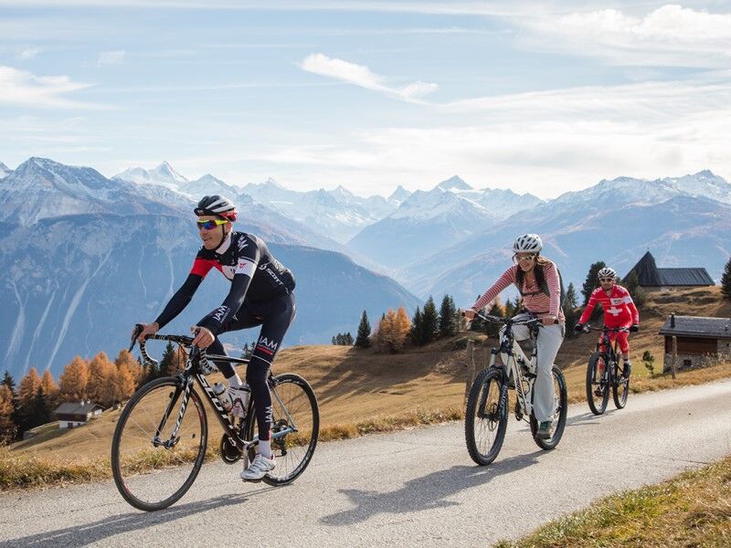
The route is a loop starting from Ycoor, in the center of Montana, going to Aminona and returning to Ycoor. The route takes the climb of Plumachit from the Violettes cable car to reach the Crans-Montana...
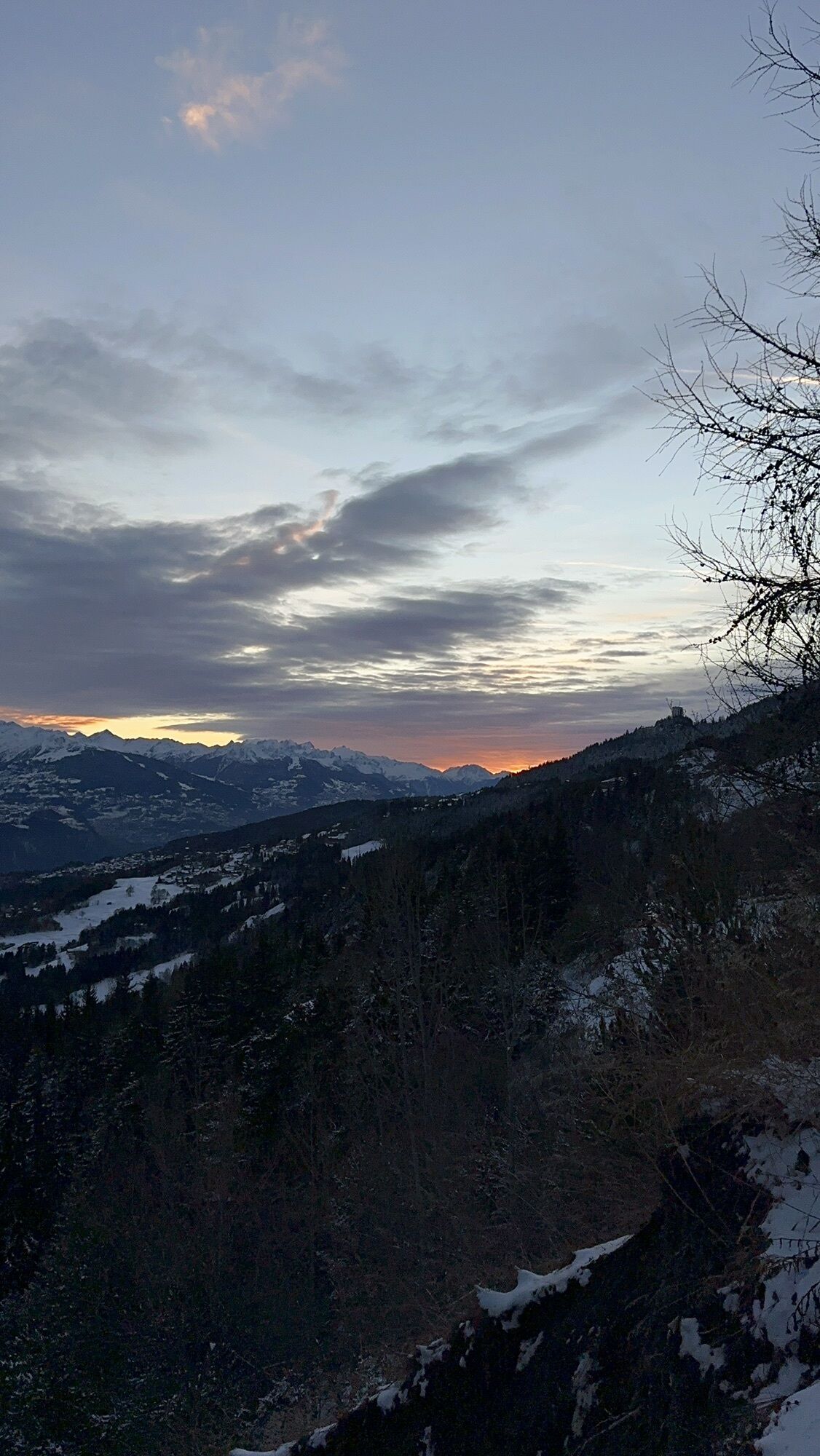
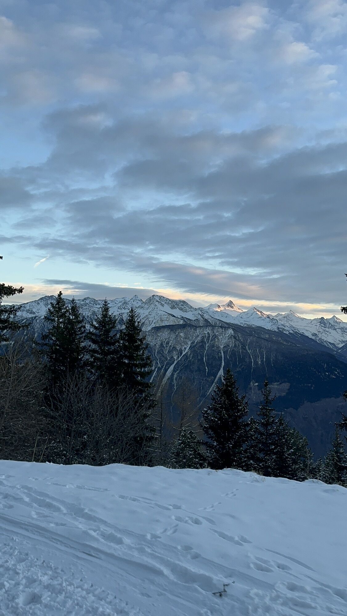
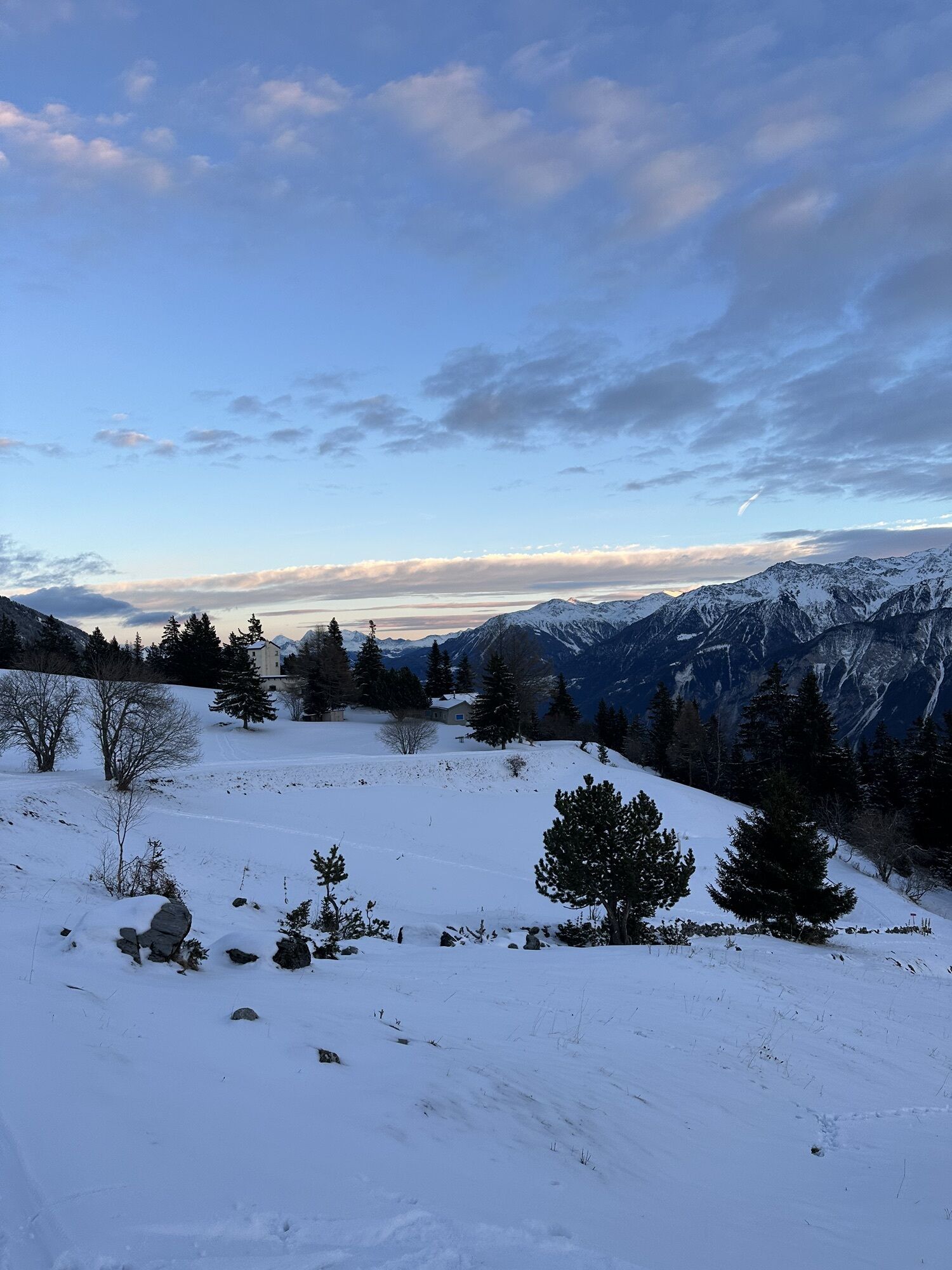
The route is a loop starting from Ycoor, in the center of Montana, going to Aminona and returning to Ycoor. The route takes the climb of Plumachit from the Violettes cable car to reach the Crans-Montana Pass, at over 1,800 meters altitude! The climb towards Plumachit is 5.6 kilometers of gradual ascent on a small low-traffic road. The total elevation gain of this circuit is however manageable as it is around 430 meters. The descent is via Aminona, allowing to take safe roads returning to the center of Crans-Montana via a small section of just over one kilometer in the opposite direction to the road taken at the start.
Start in Montana Ycoor - Clovelli Road - Montana Station - Genevoise Clinic - Departure of the Barzettes-Violettes gondolas - Plumachit - Crans-Montana Pass - Colombire hamlet - Aminona - Departure of the Barzettes-Violettes gondolas - Genevoise Clinic - Montana Station - Return to Montana Ycoor via Avenue de la Gare
For your safety, wearing a helmet is strongly recommended.
This route avoids the busiest roads.
1’: To turn left from "Rte de l’Astoria" onto "Rte de Plumachit" cyclists have enough space to stop on the right side of the road to start at the right moment. Visibility is sufficient to anticipate your turn.
2’ In the descent from Crans-Montana Pass, the asphalt is of medium quality. Check its condition after each winter!
Please strictly respect the Swiss road traffic regulations.
Please note that you use these routes at your own risk and that in case of an accident, the municipalities and landowners cannot be held responsible.
Respect the plants, animals and farmers.
Feel responsible for nature and the environment.
To reach Crans-Montana by car, take the A9 highway exit (Rhône highway) called "Sierre west". At the highway exit, turn left and follow signs indicating "Sierre". At the roundabout, turn right. Continue for 500 meters and then at the entrance to Sierre, turn left towards "Crans-Montana". The journey takes about 20 minutes. Once in Crans-Montana, follow signs to reach the Ycoor forum, then Stephani parking.
The Crans-Montana resort is accessible from Sierre train station with the SMC bus company, the funicular, as well as from Sion train station with post buses.
The free shuttles from the SMC bus company serve the entire Crans-Montana resort. The closest stop to the start of the route is: Ycoor.
Stephani Parking
Address: Rue Théodore Stéphani, 3963 Crans-Montana
Indoor paid parking: 140 spaces
Hourly rate: Stephani Parking
2
Route oriented towards "Cyclo-Leisure".
Route very suitable for users uncomfortable in traffic.
It is proposed to do this route clockwise.
For more information: www.crans-montana.ch/bike
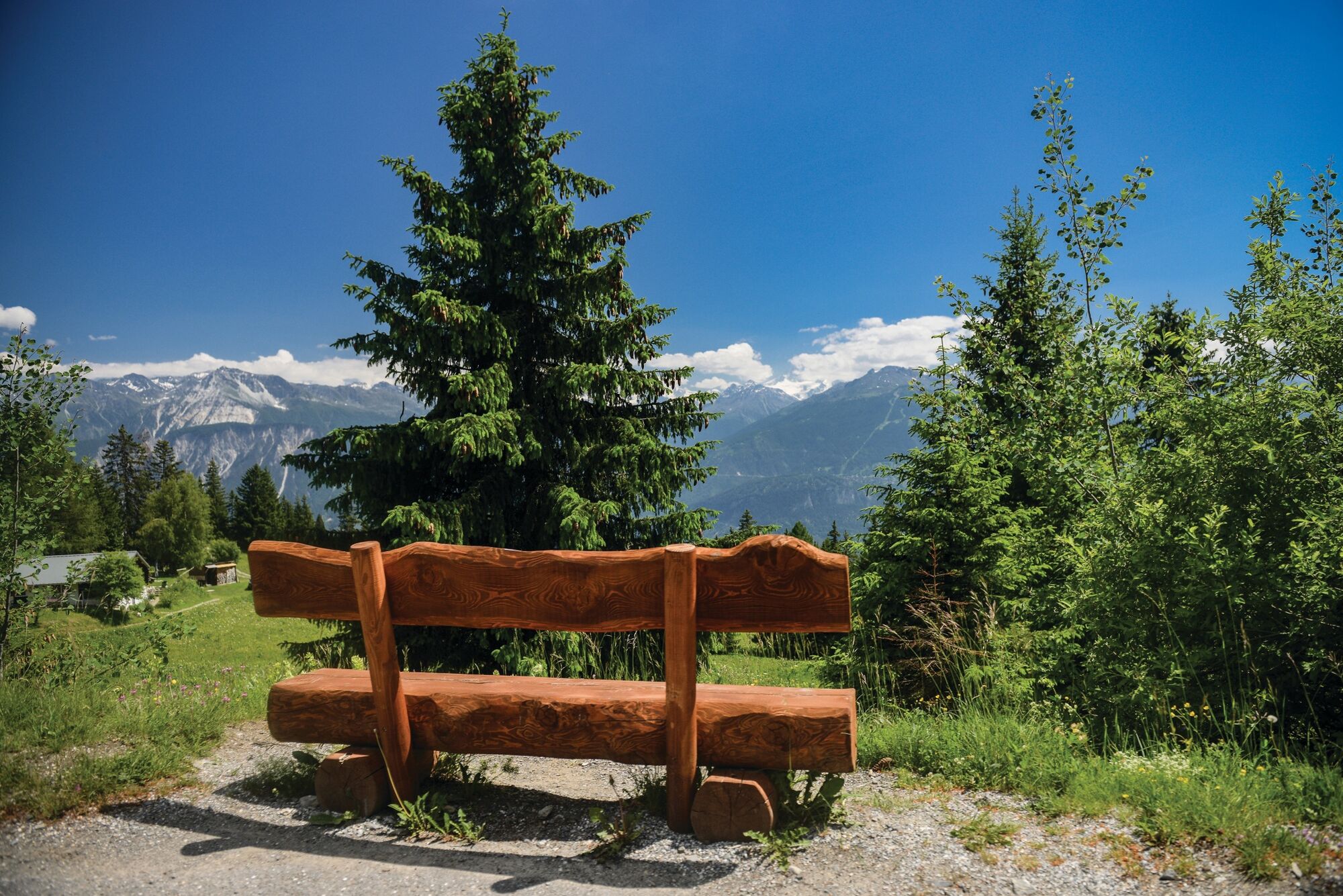
The route offers the possibility to observe magnificent and preserved flora throughout its path.
Beliebte Touren in der Nähe
- 5,0
Bella-Tola
mittelHochtour 6,72 km - 5,0
Torrenthorn- Rigi der Walliser Alpen
Wanderung 2,99 km - 4,7
Leukerbad - Gemmipass - Lämmerenhütte
mittelWanderung 9,49 km - 4,0
Grand Bisse de Lens
leichtWanderung 8,73 km - 4,0
Gemmipass - Lämmerenhütte - Rote Totz Lücke - Daubensee - Gemmipass
mittelWanderung 13,7 km Gratweg
Klettersteig 5,16 km- 4,0
Tripon - Brac – Ancien Bisse du Torrent Neuf – St. Marguerite – Torrent Neuf – Prafirmin - St. Germain
leichtWanderung 12,9 km Talabfahrt (Rinderhütte-Tunnel-Folljeret-Leukerbad)
Wanderung 7,78 kmZu den Engstligenfällen
mittelWanderung 8,06 km- 4,0
Wolfstritt
Wanderung 7,02 km
Wandern & Tracking


Verpasse keine Angebote und Inspirationen für deinen nächsten Urlaub
Deine E-Mail-Adresse wurde in den Verteiler eingetragen.