







Bergtour rund um den Elferkopf

Schwierigkeitsgrad: T3
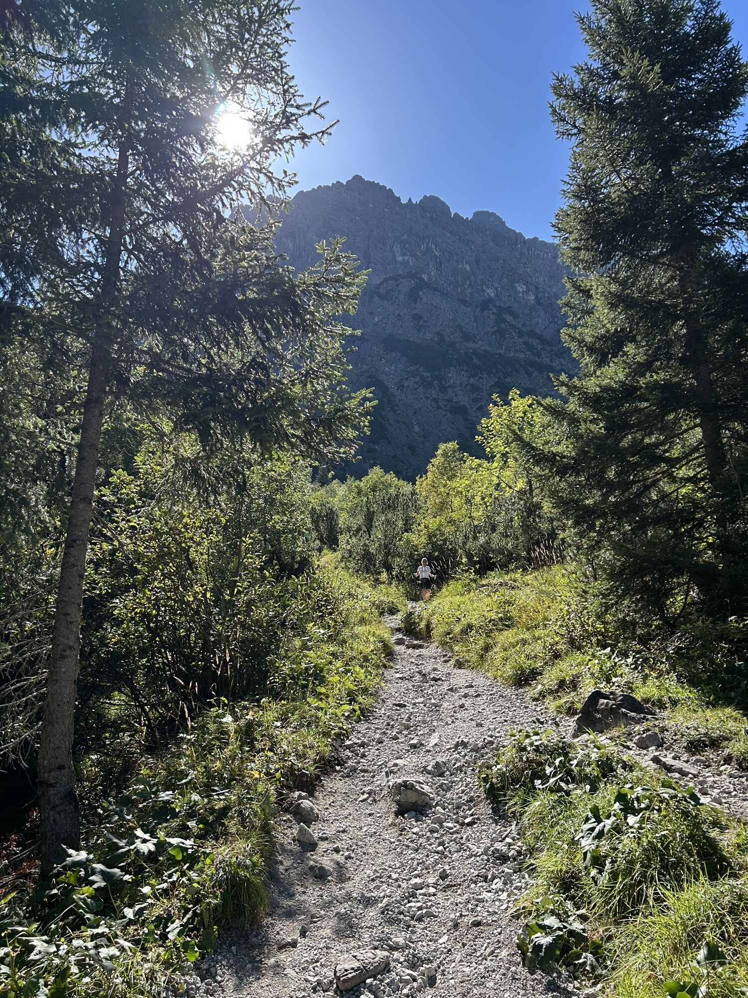
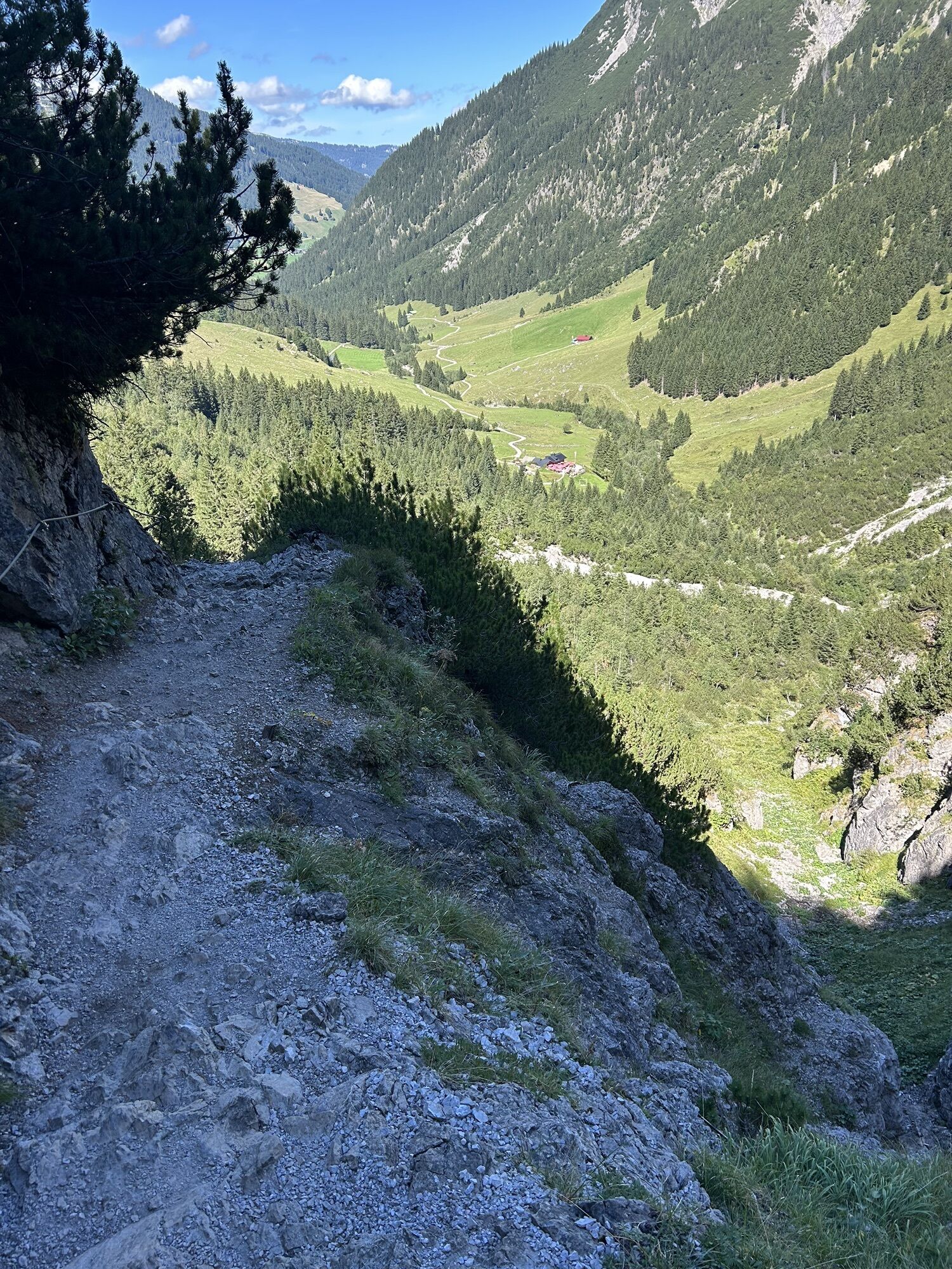
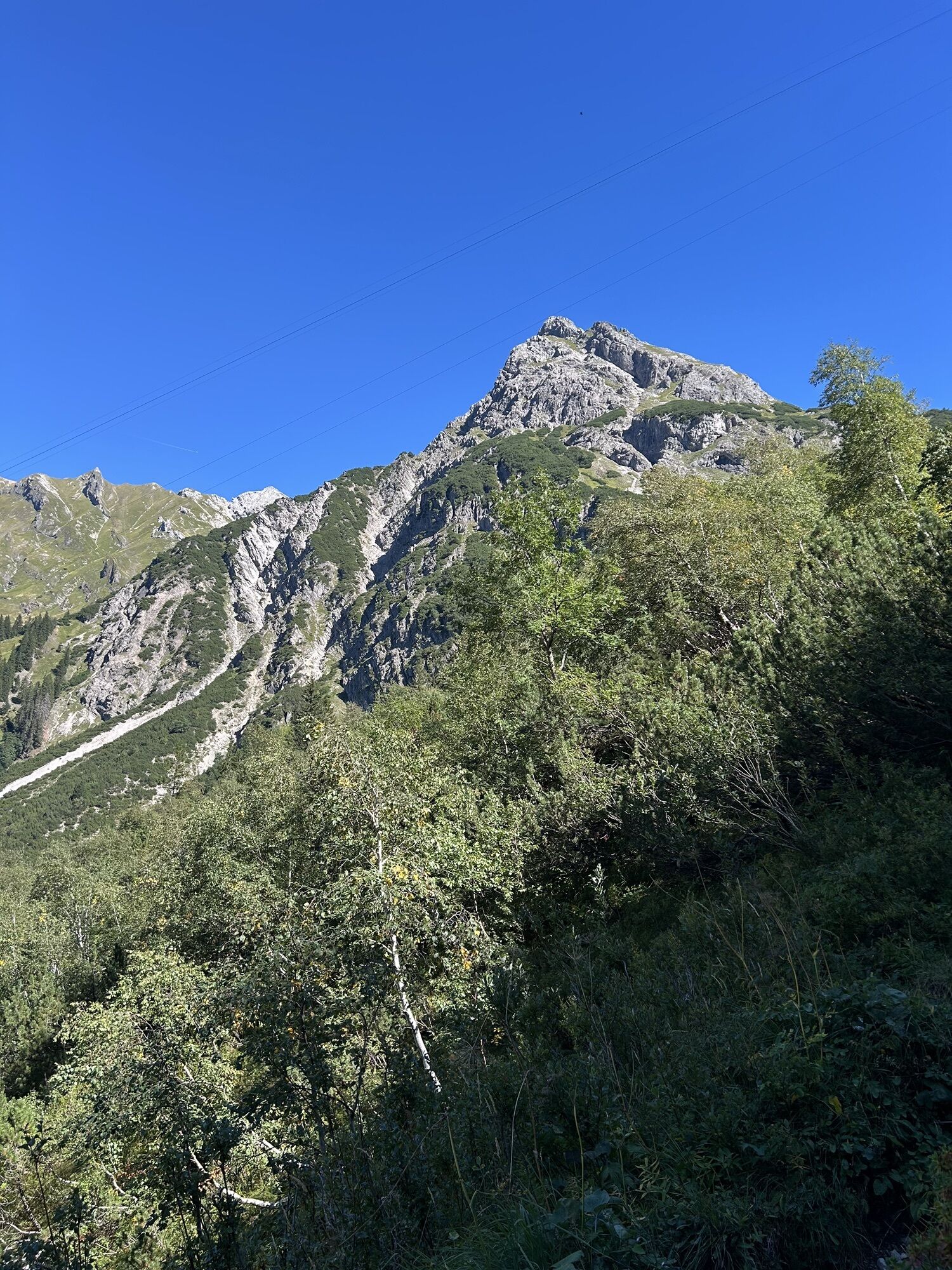
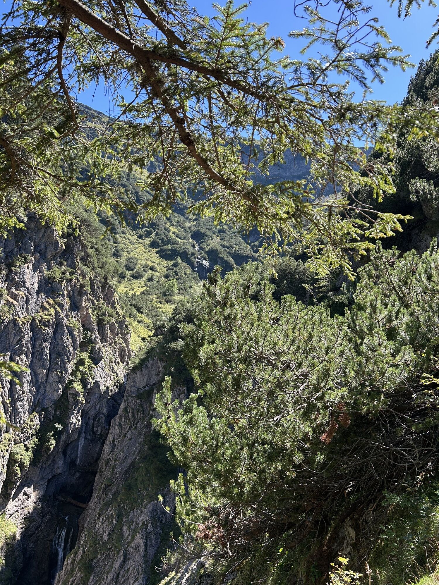
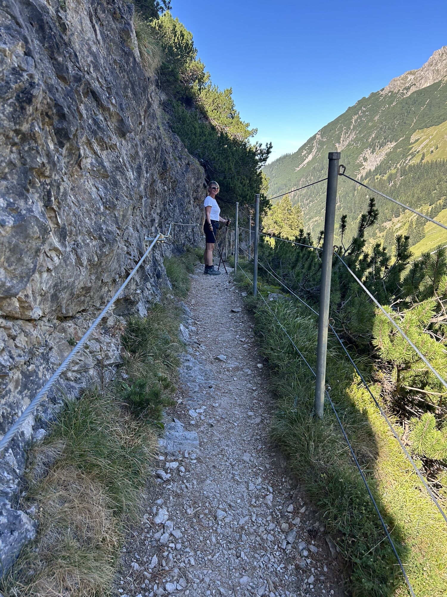
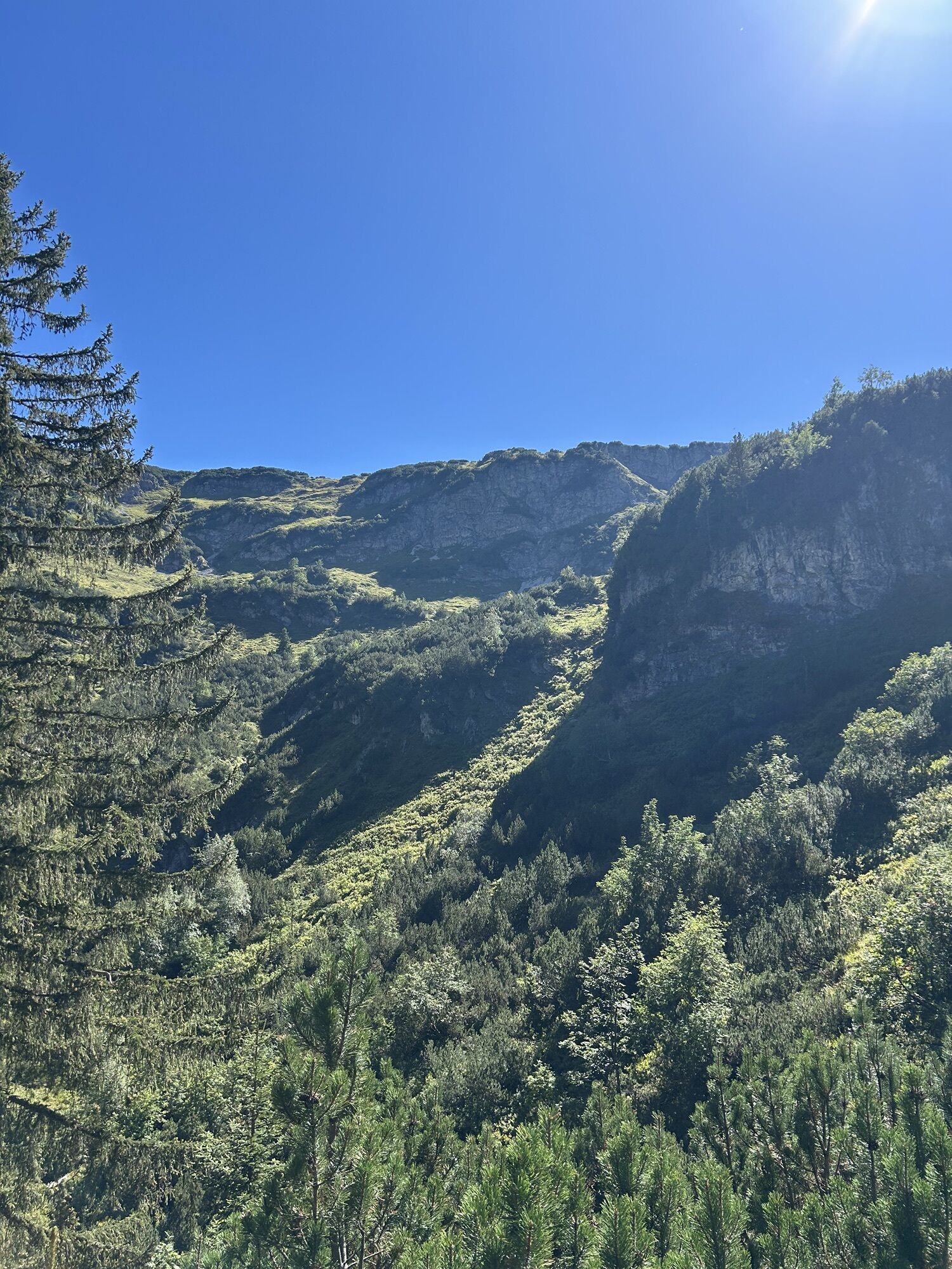
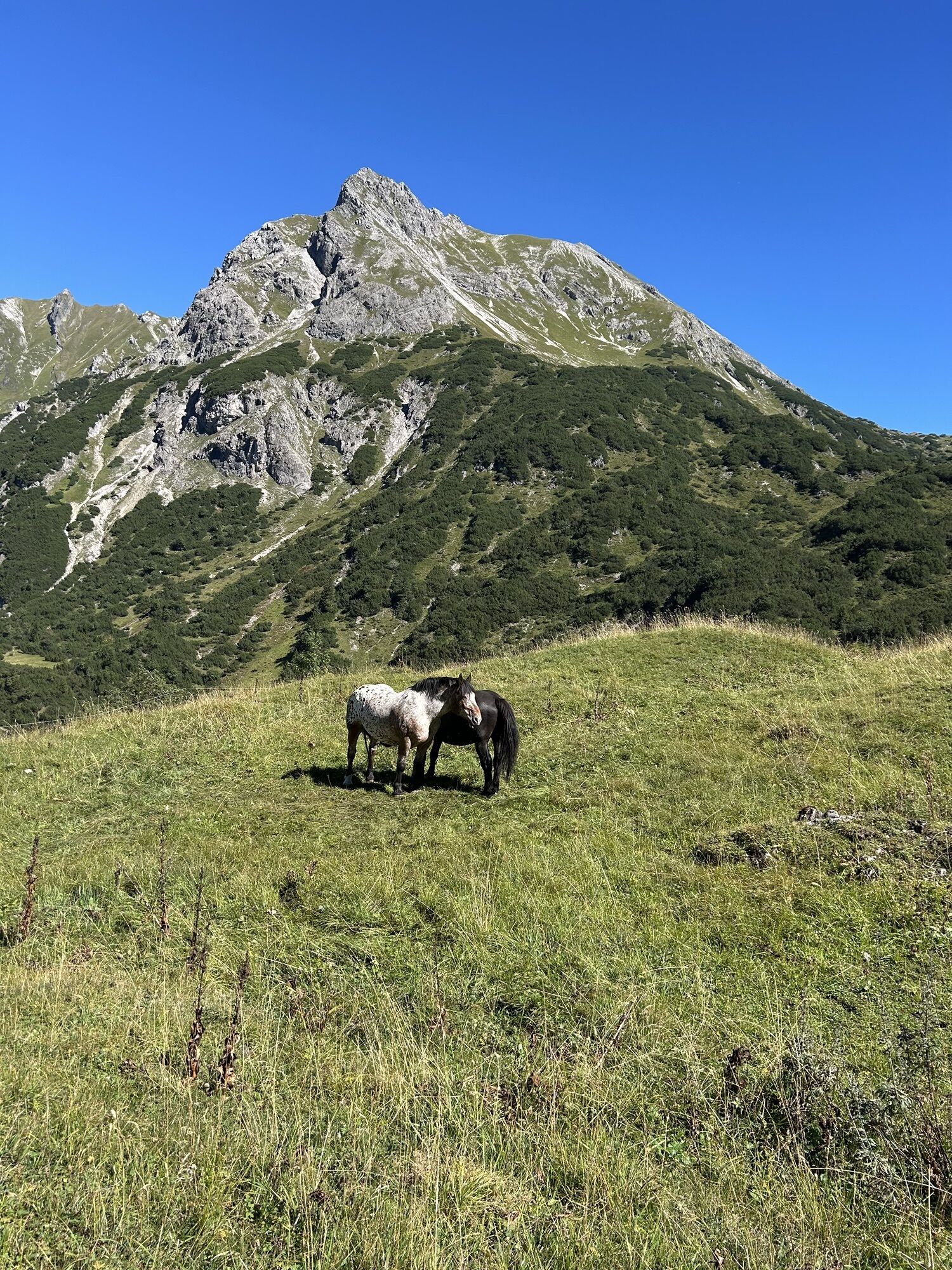
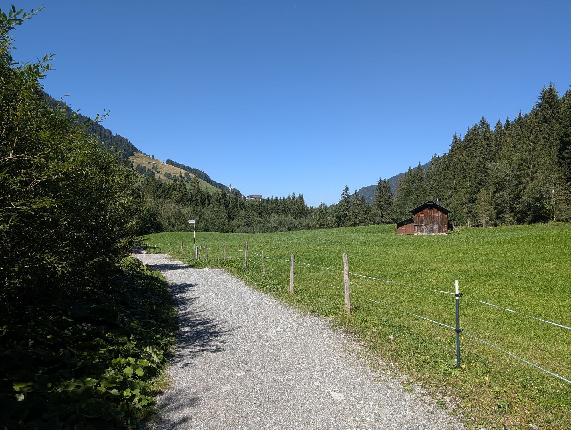
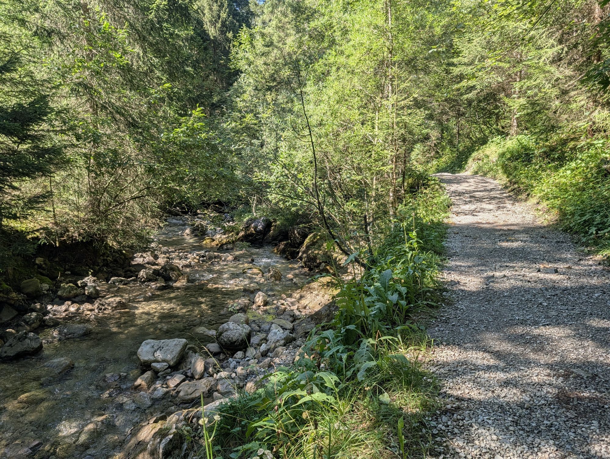
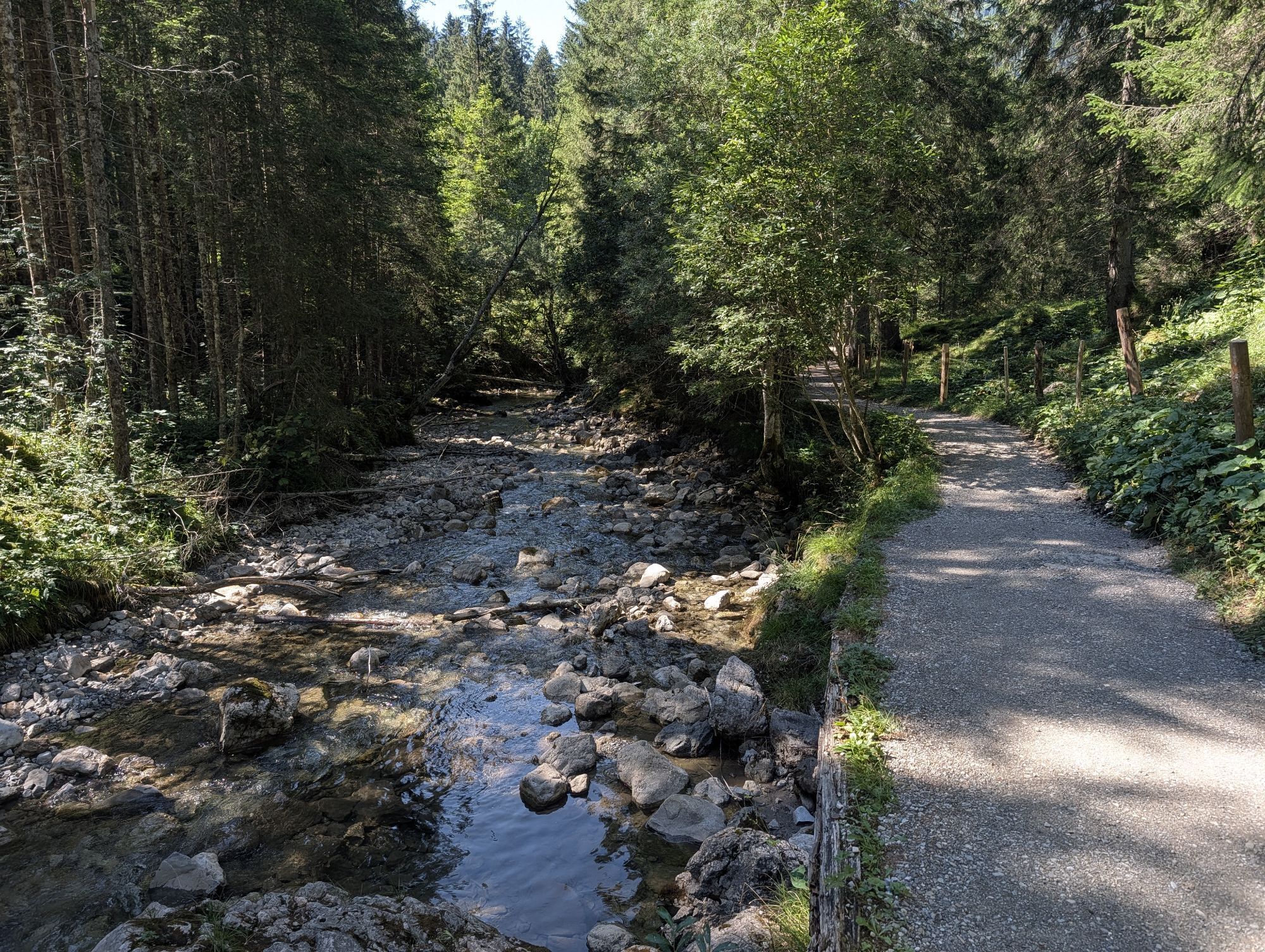
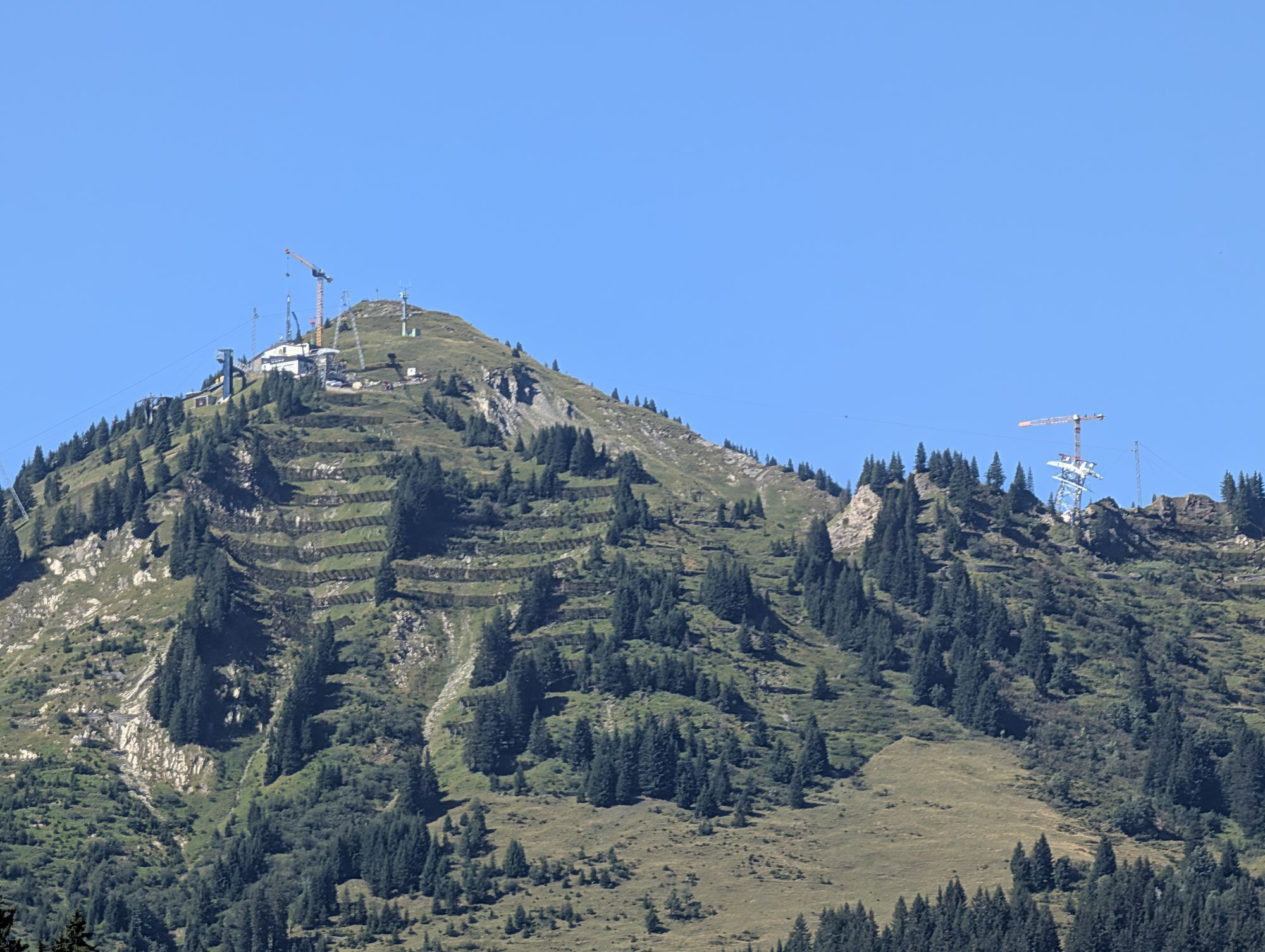
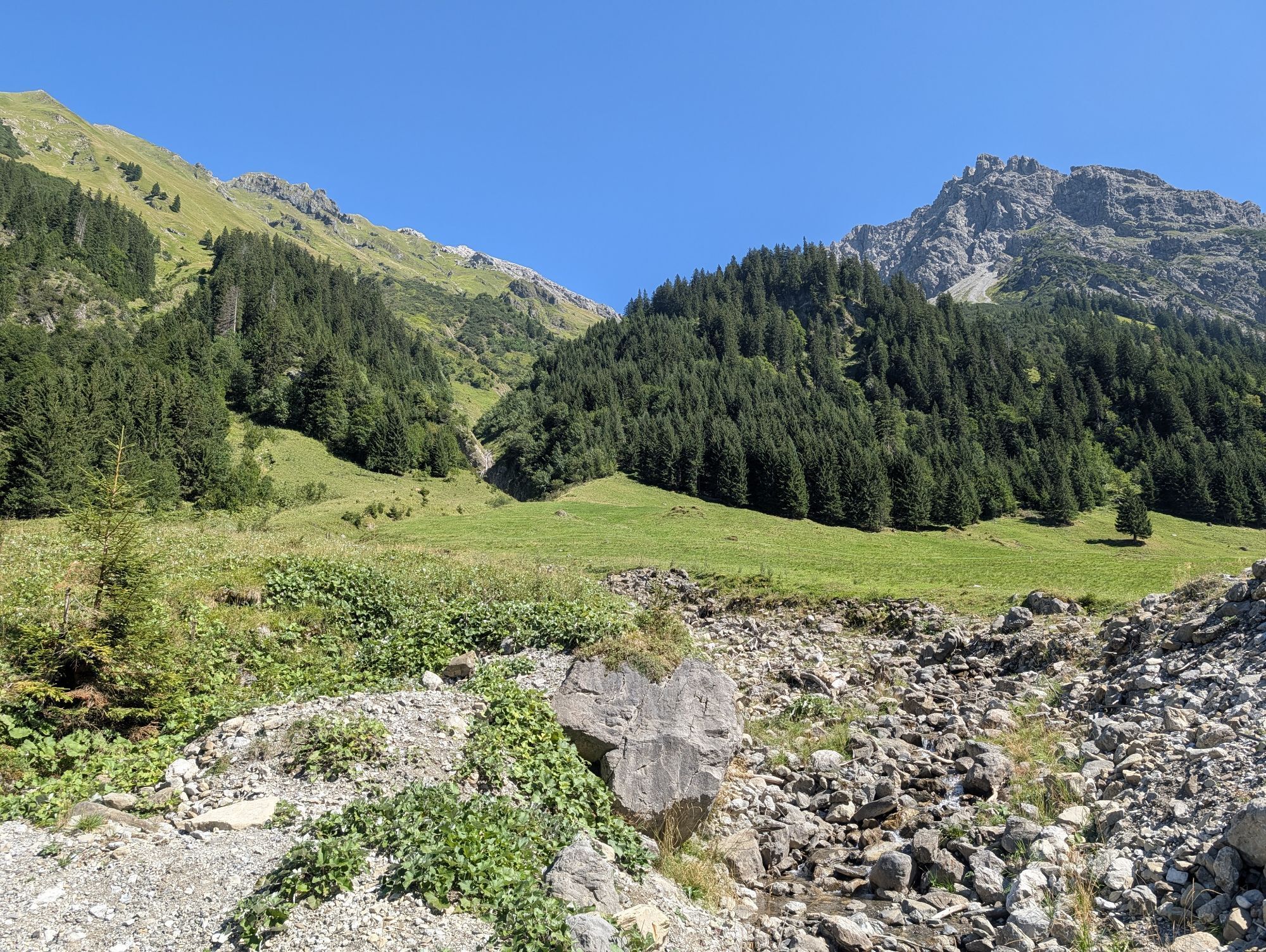
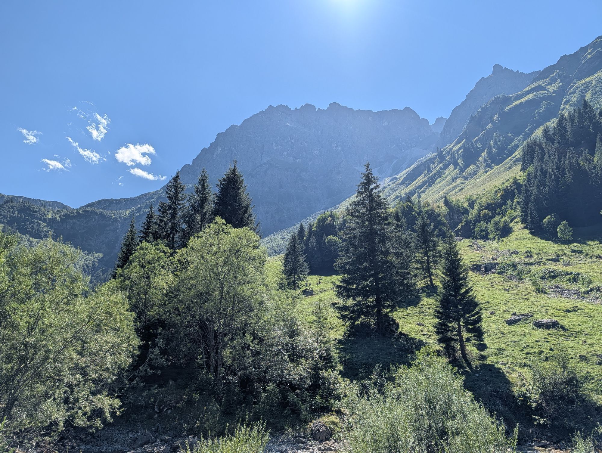
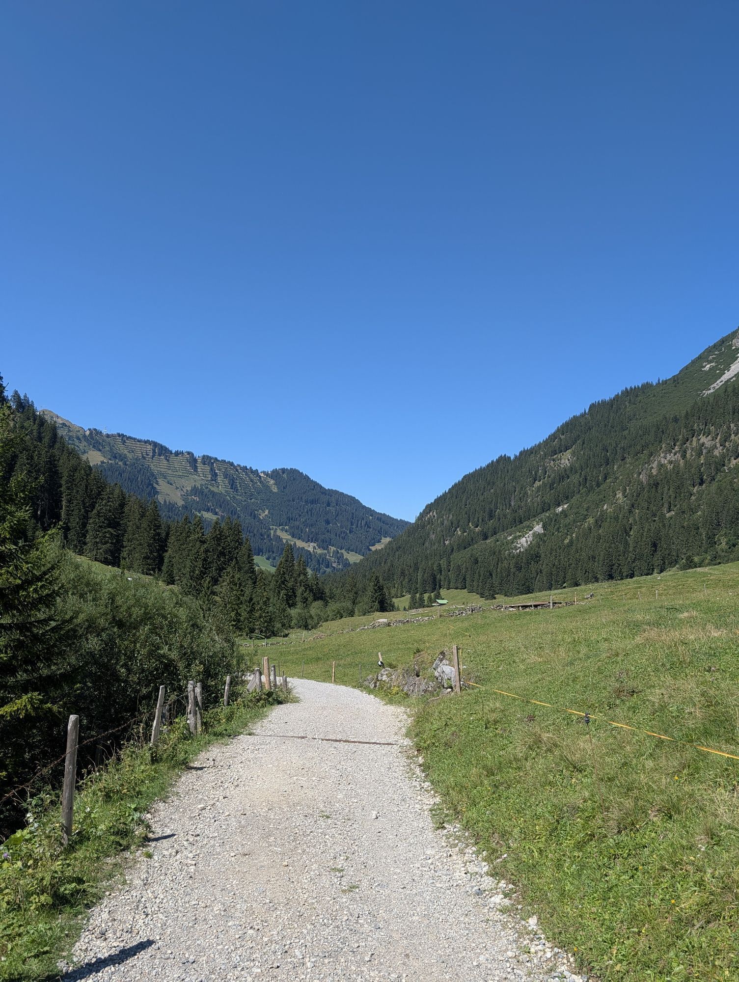
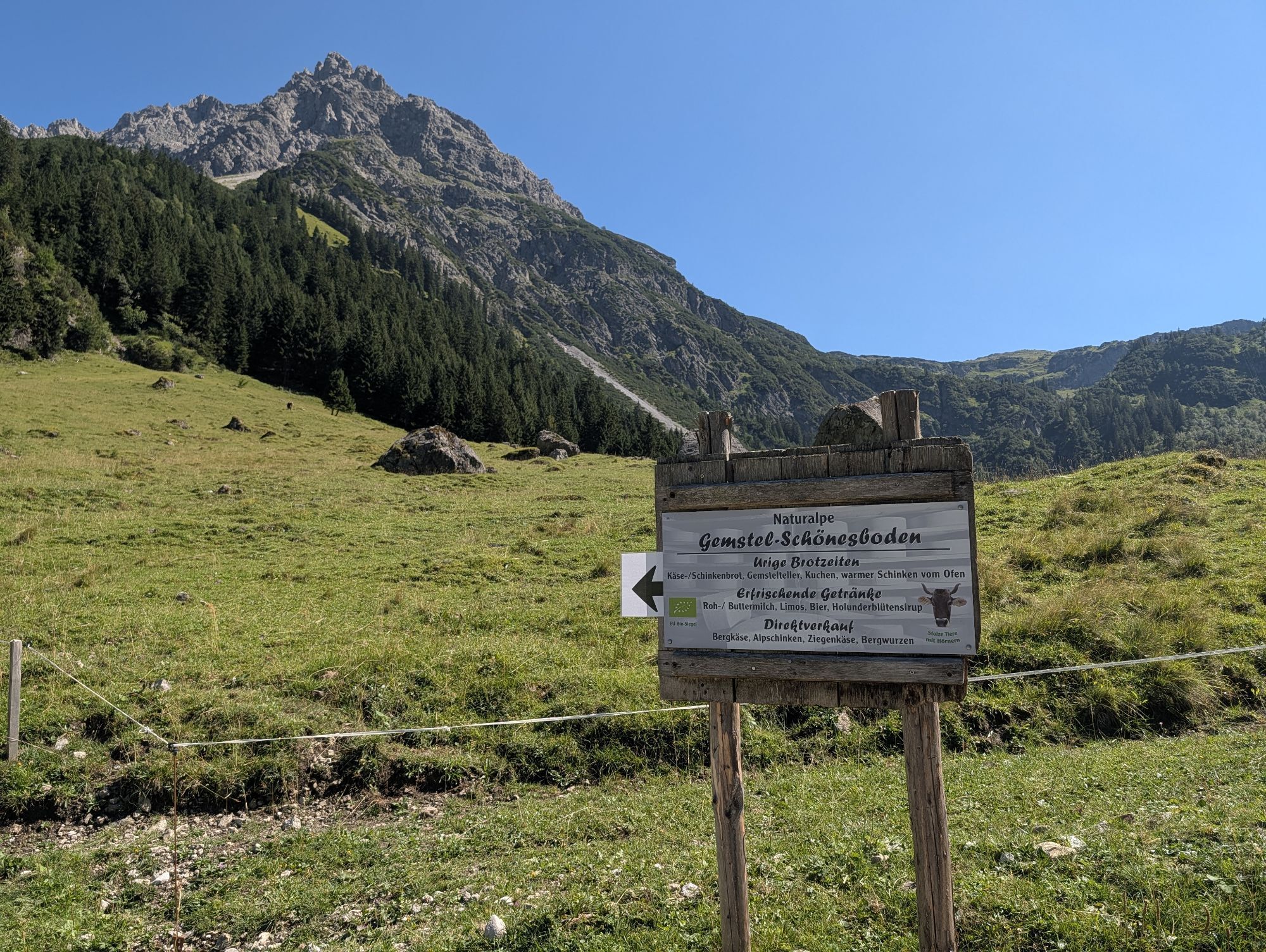
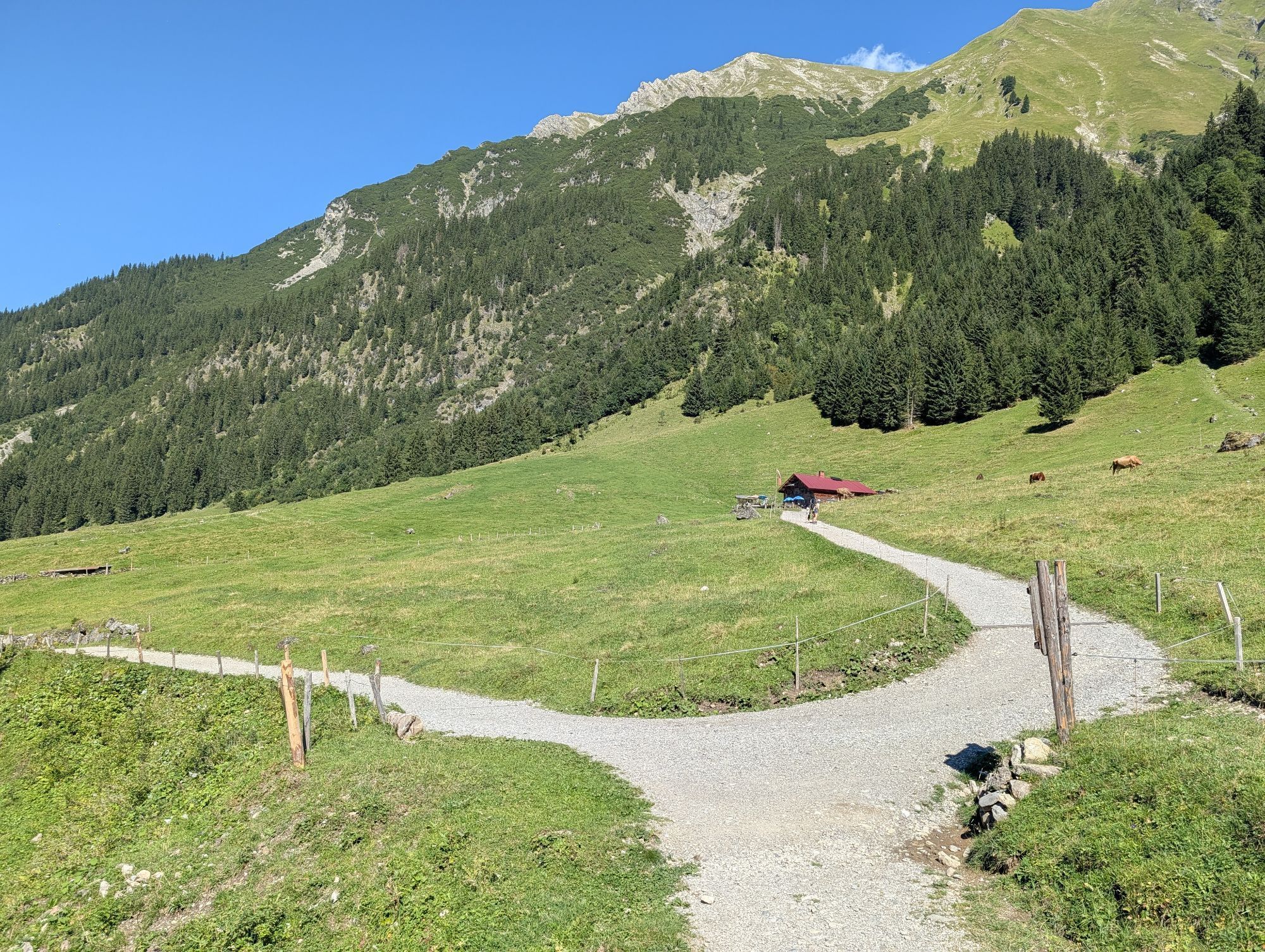
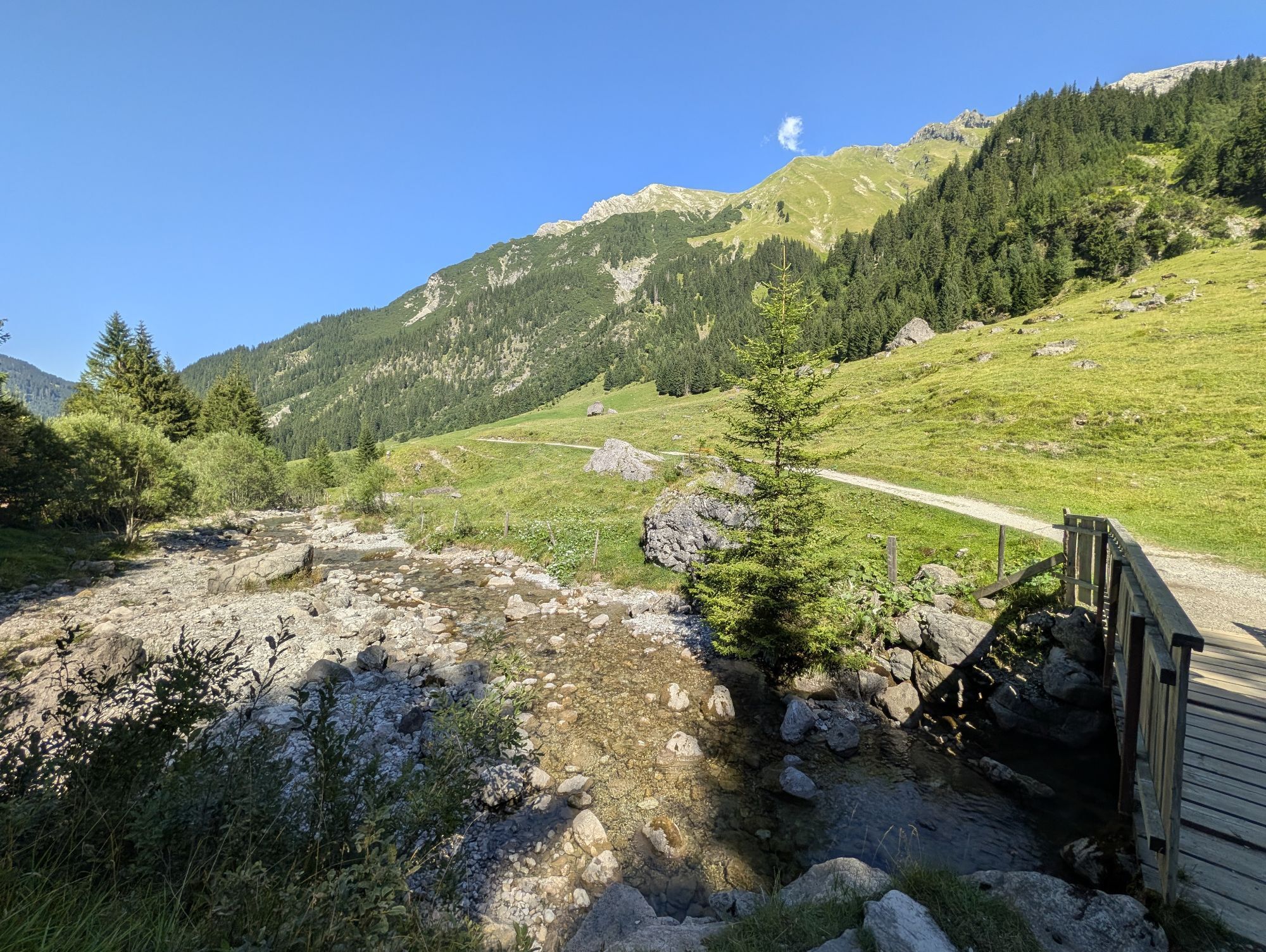
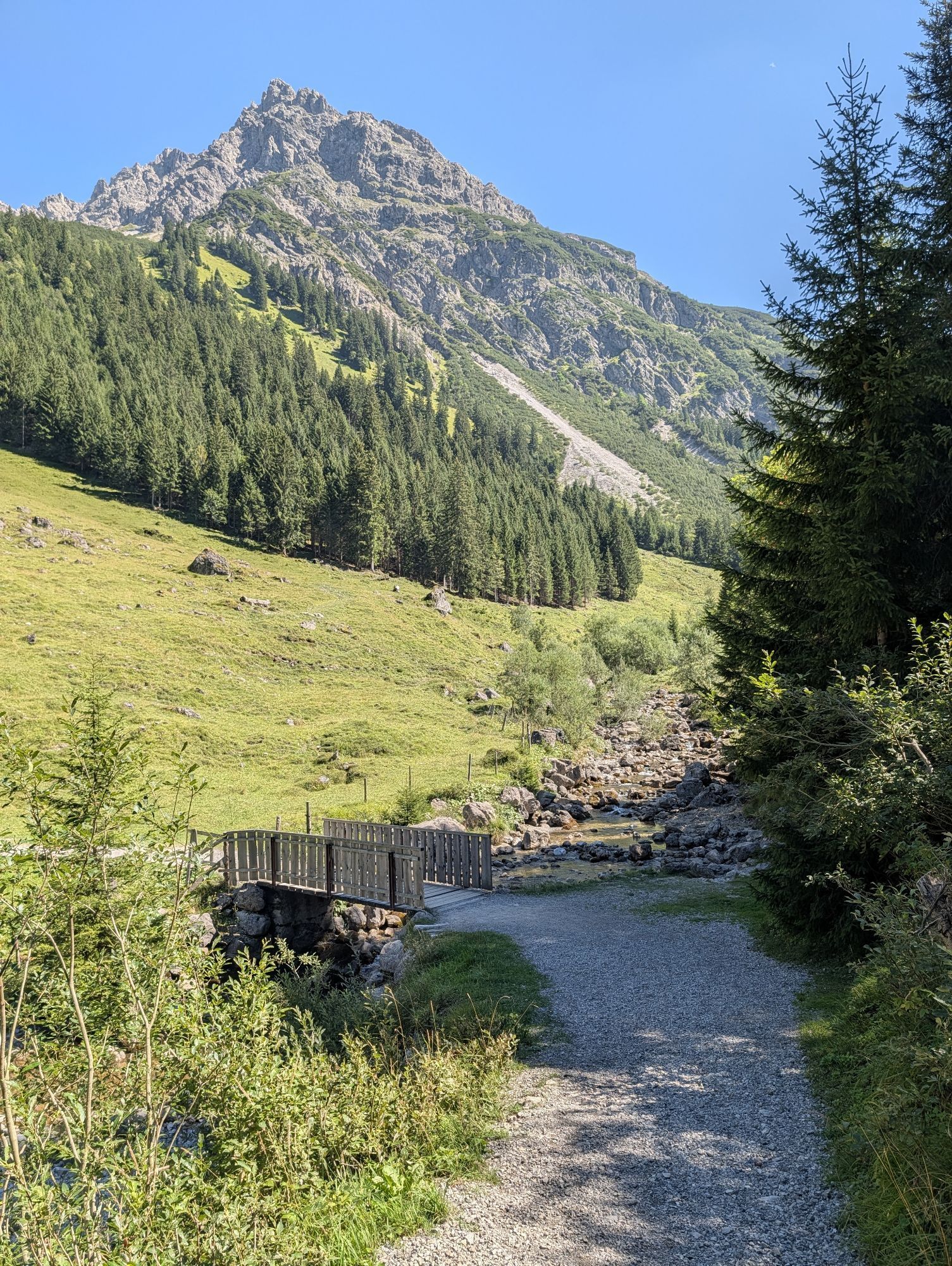
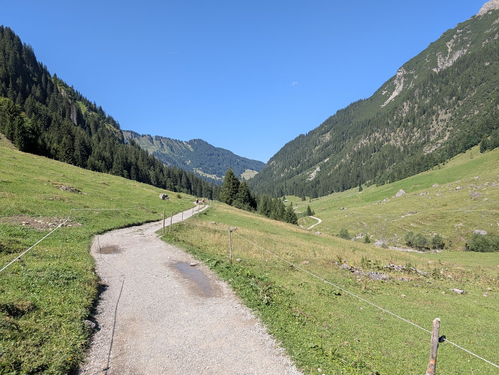
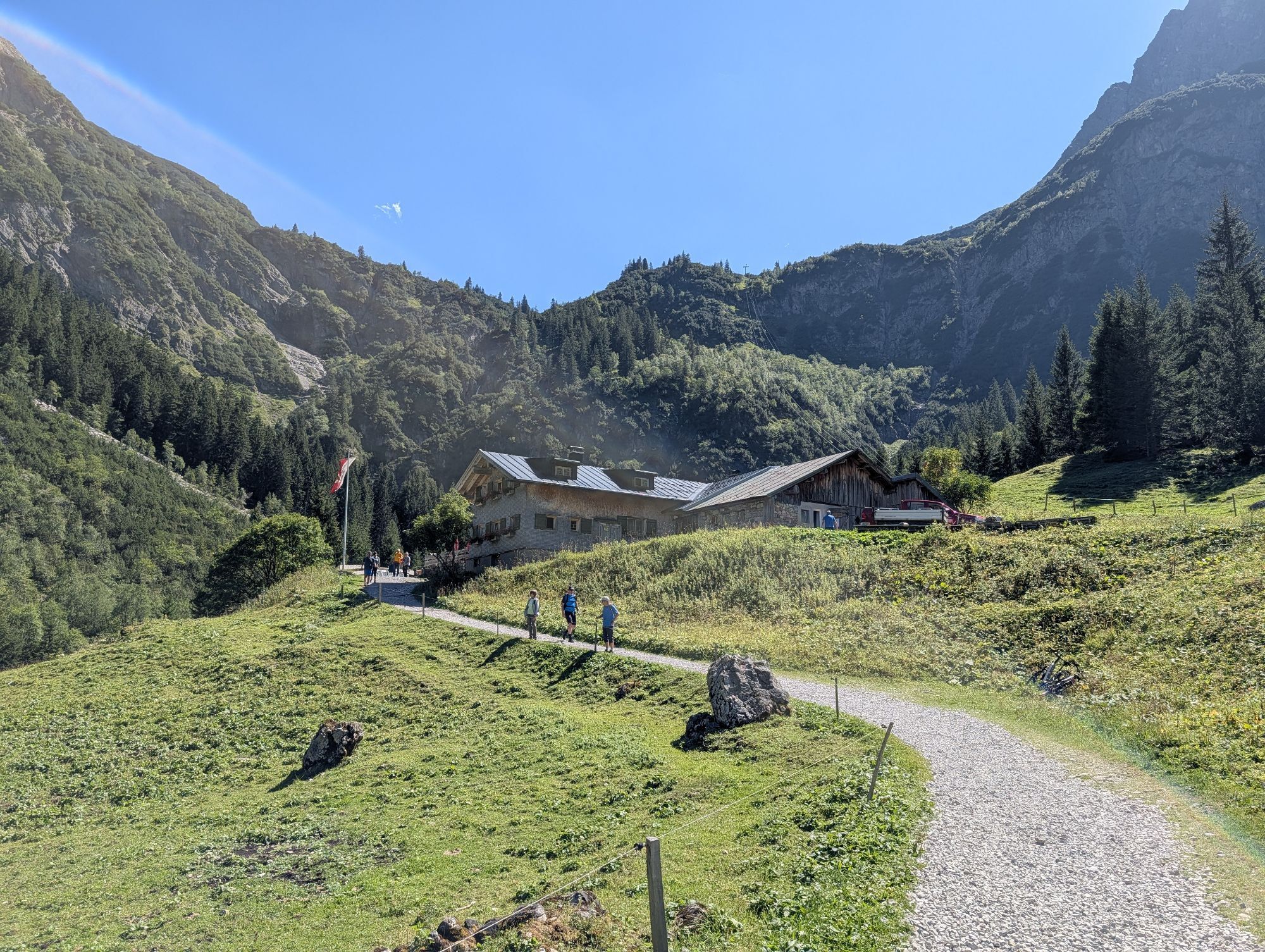
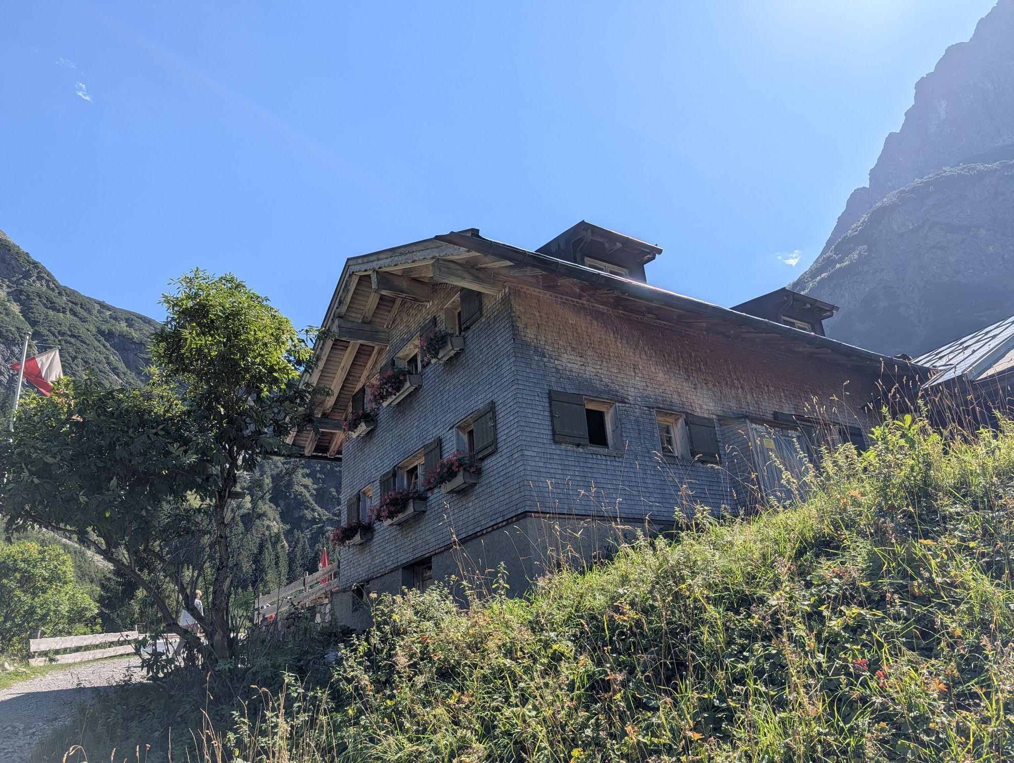
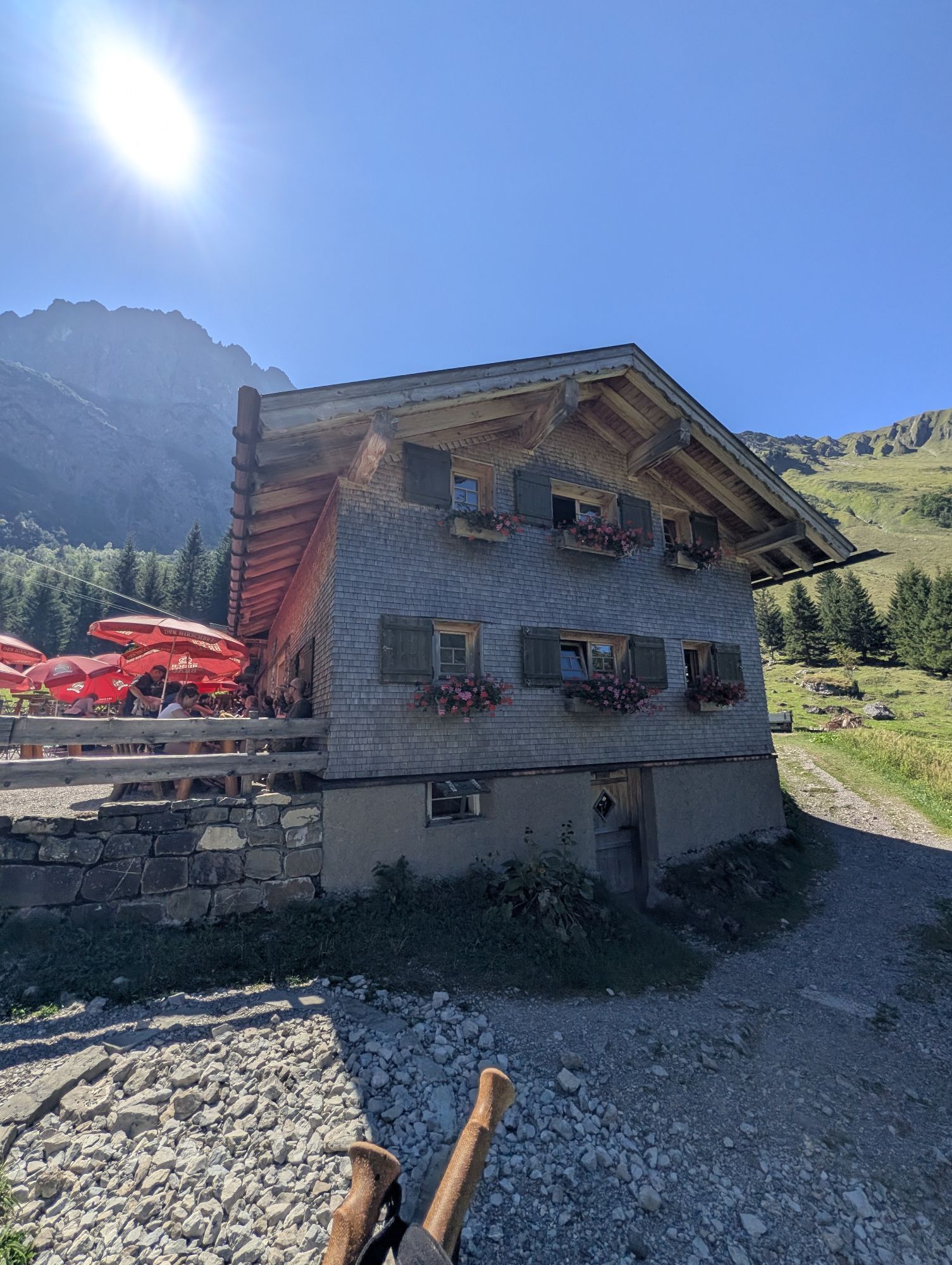
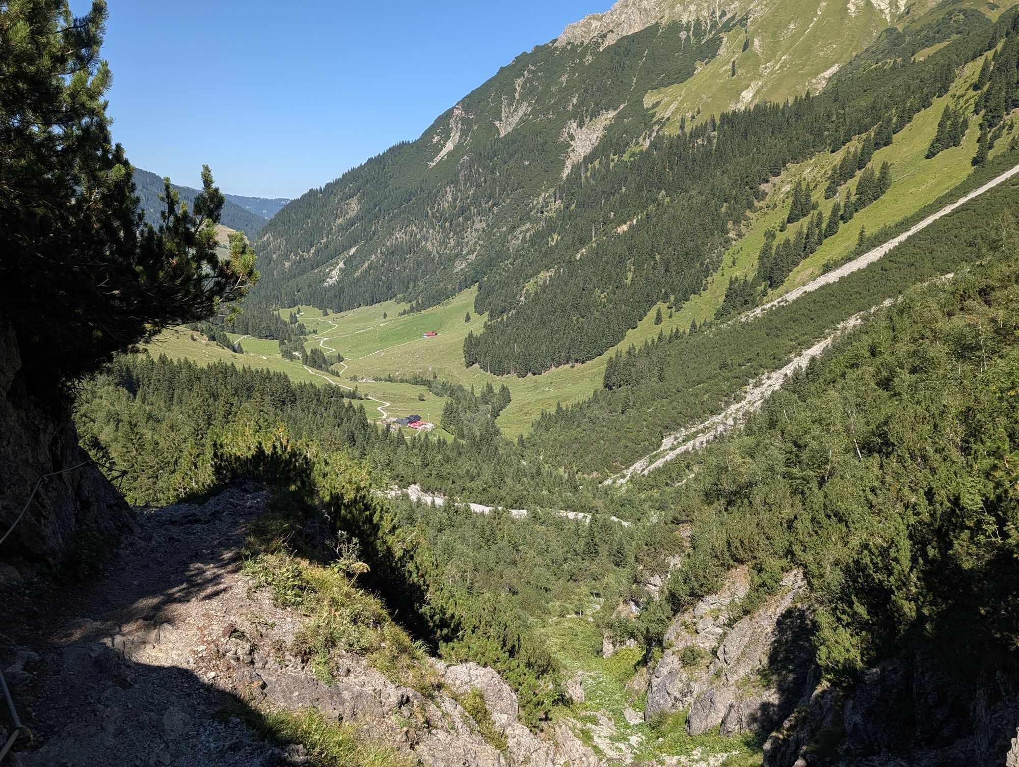
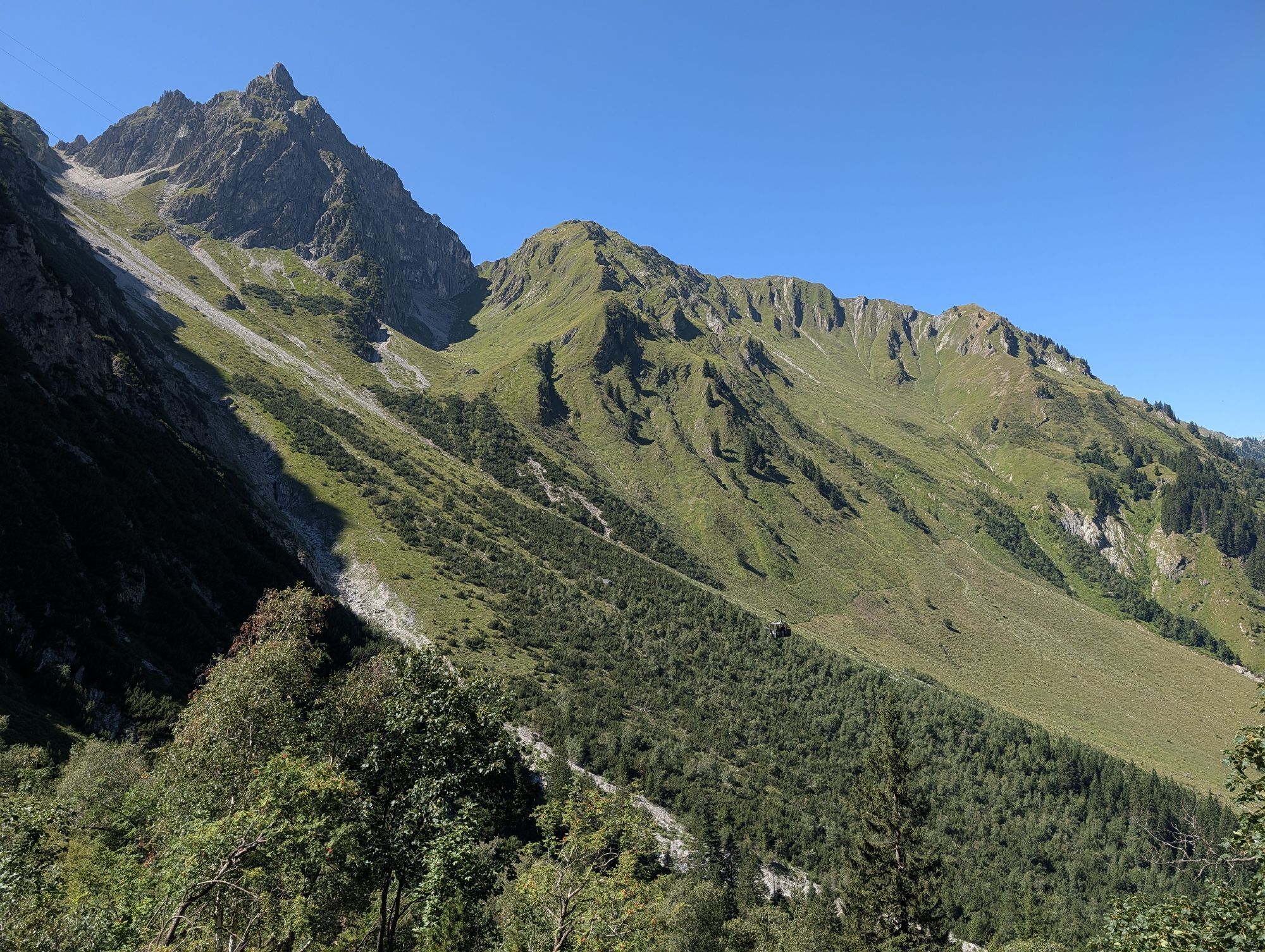
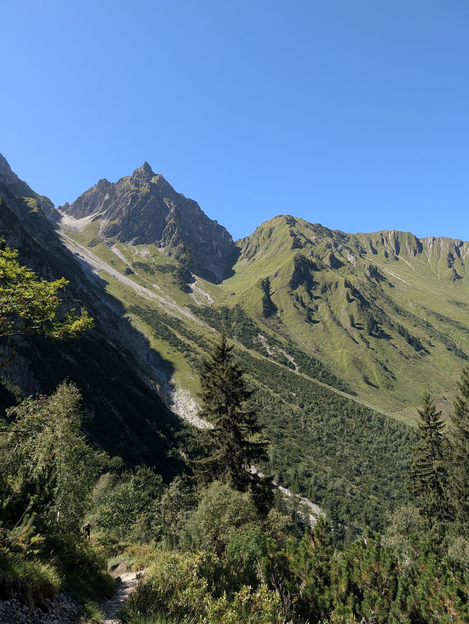
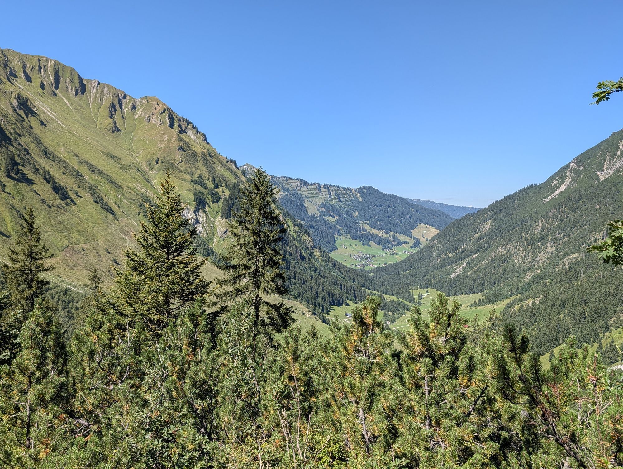
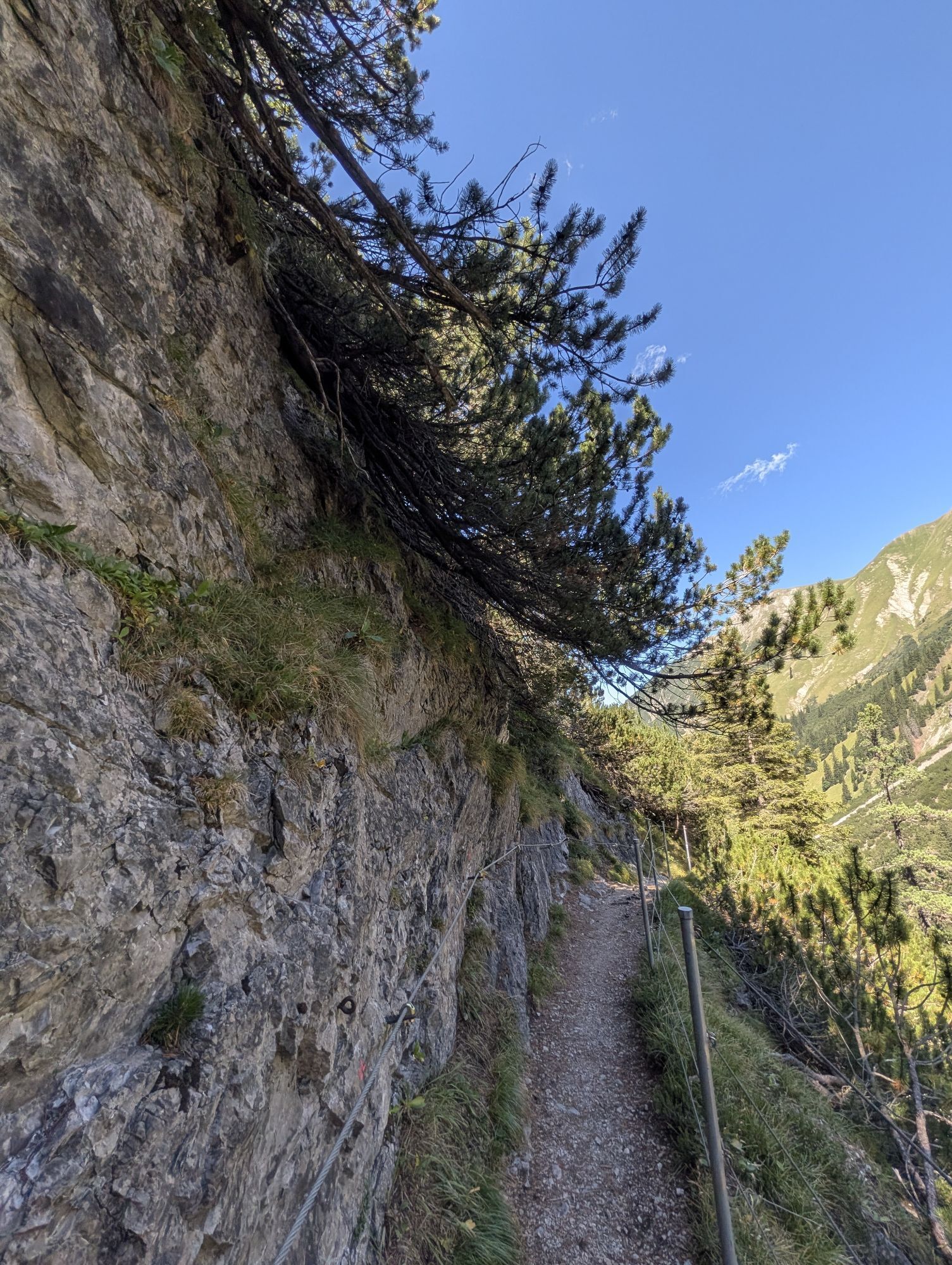
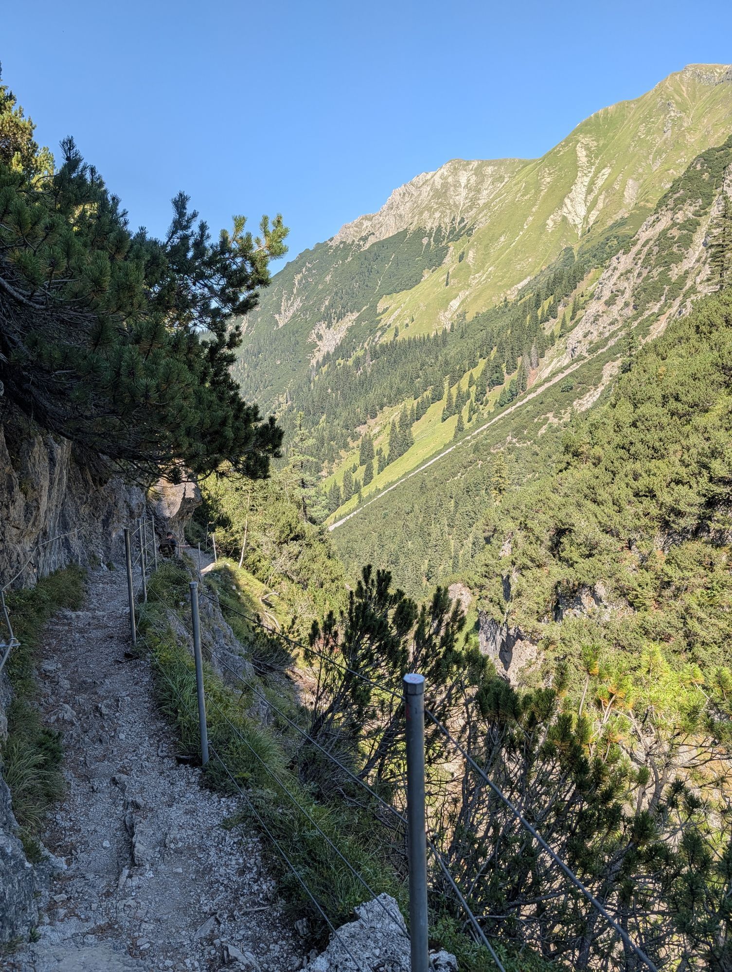
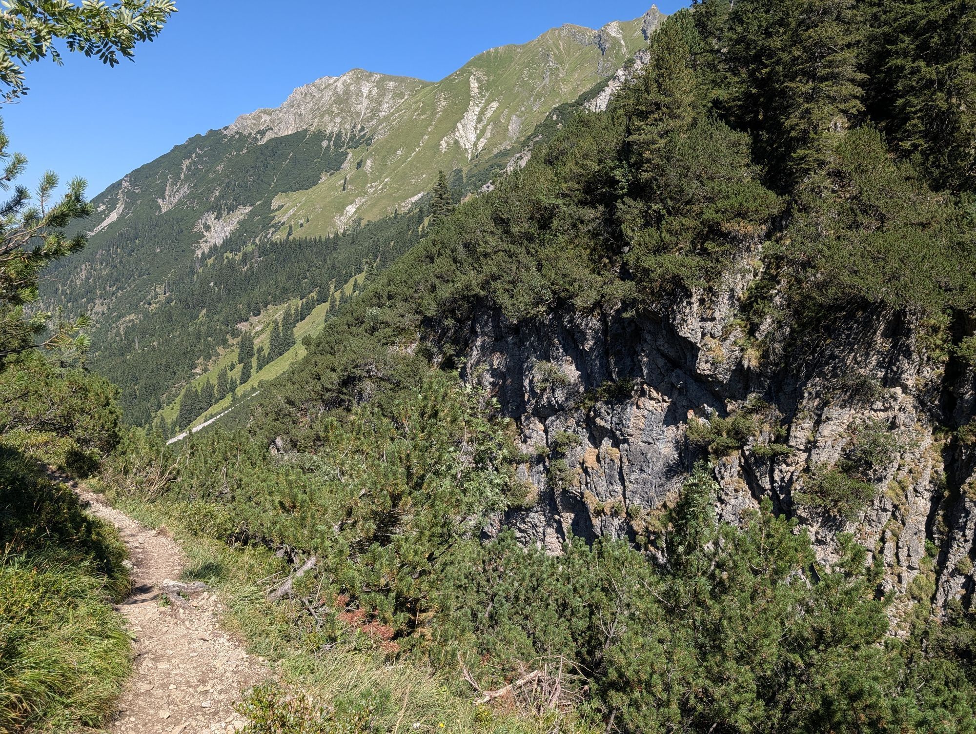
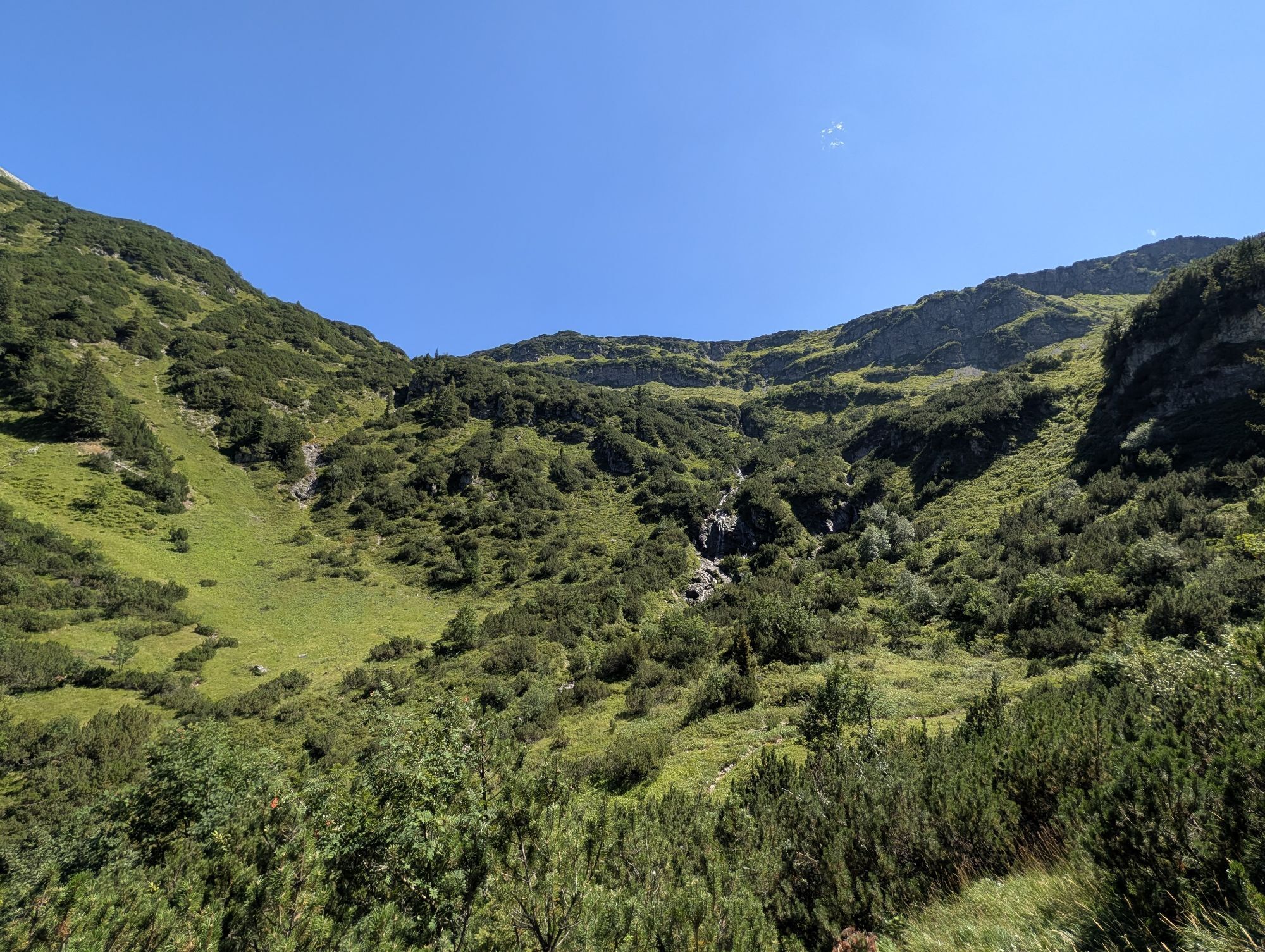
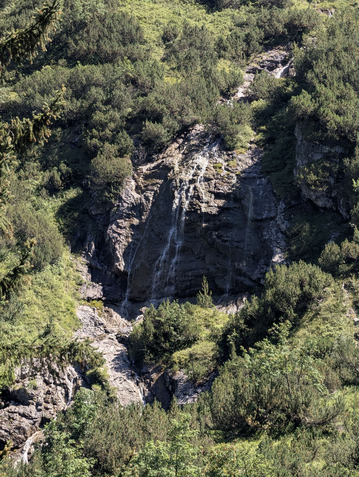
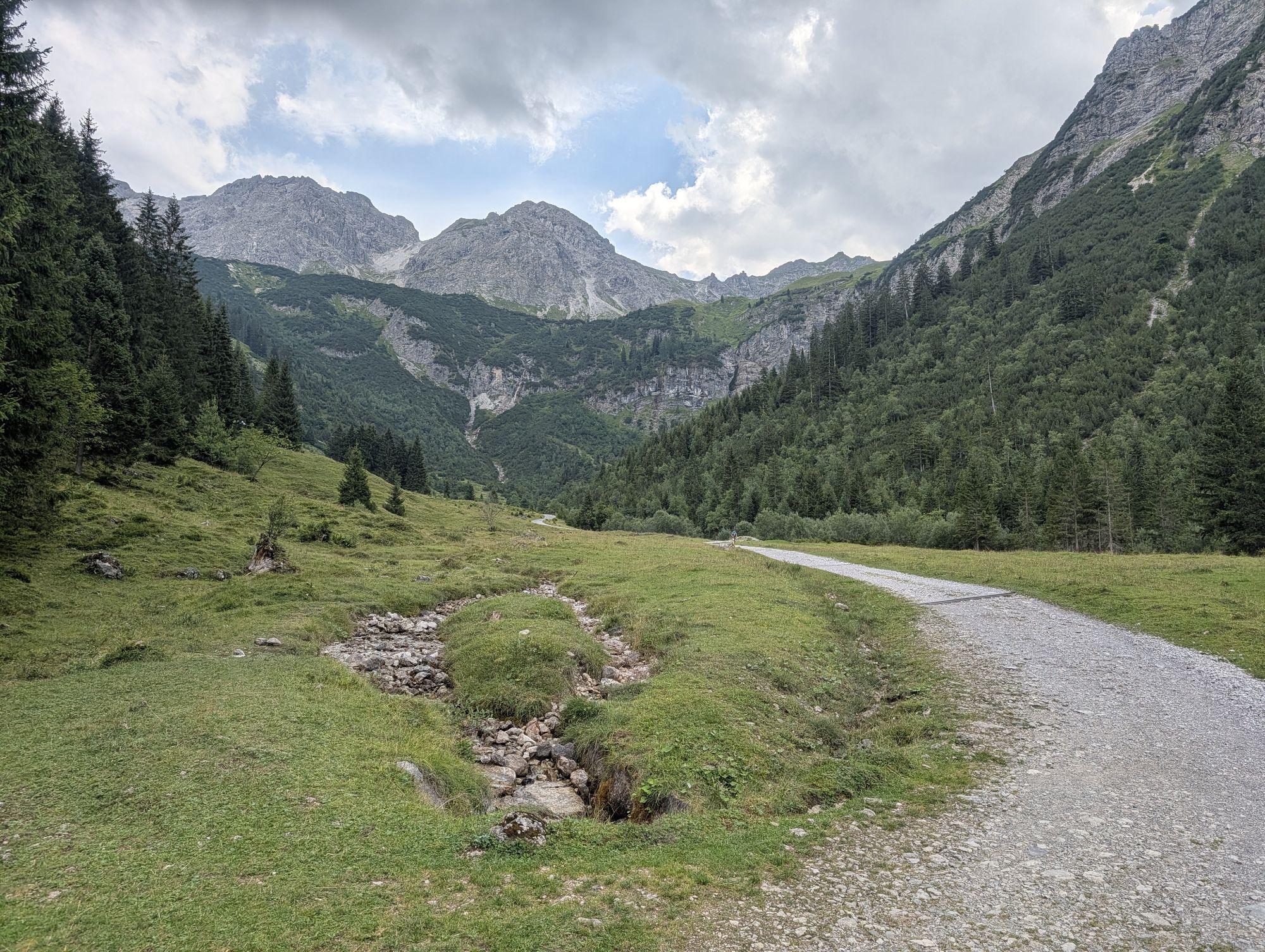
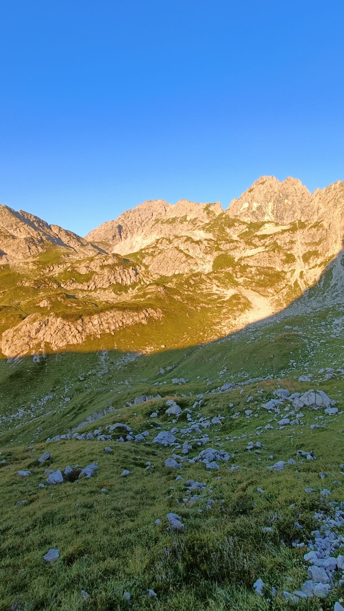
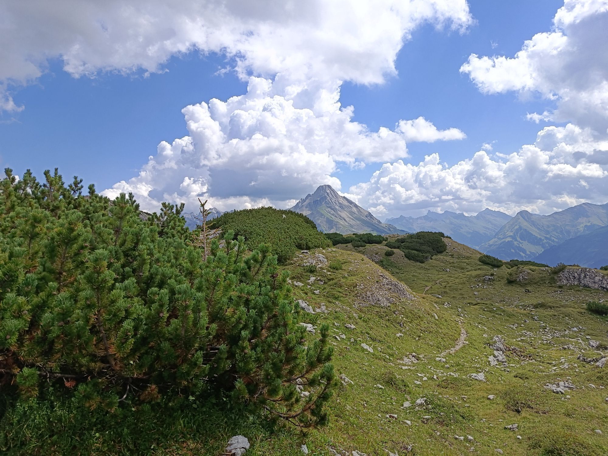
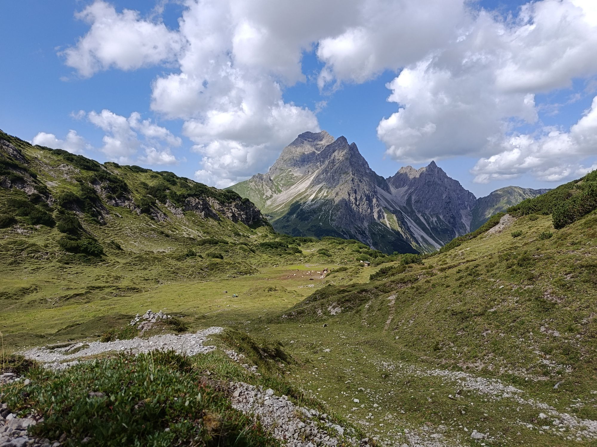
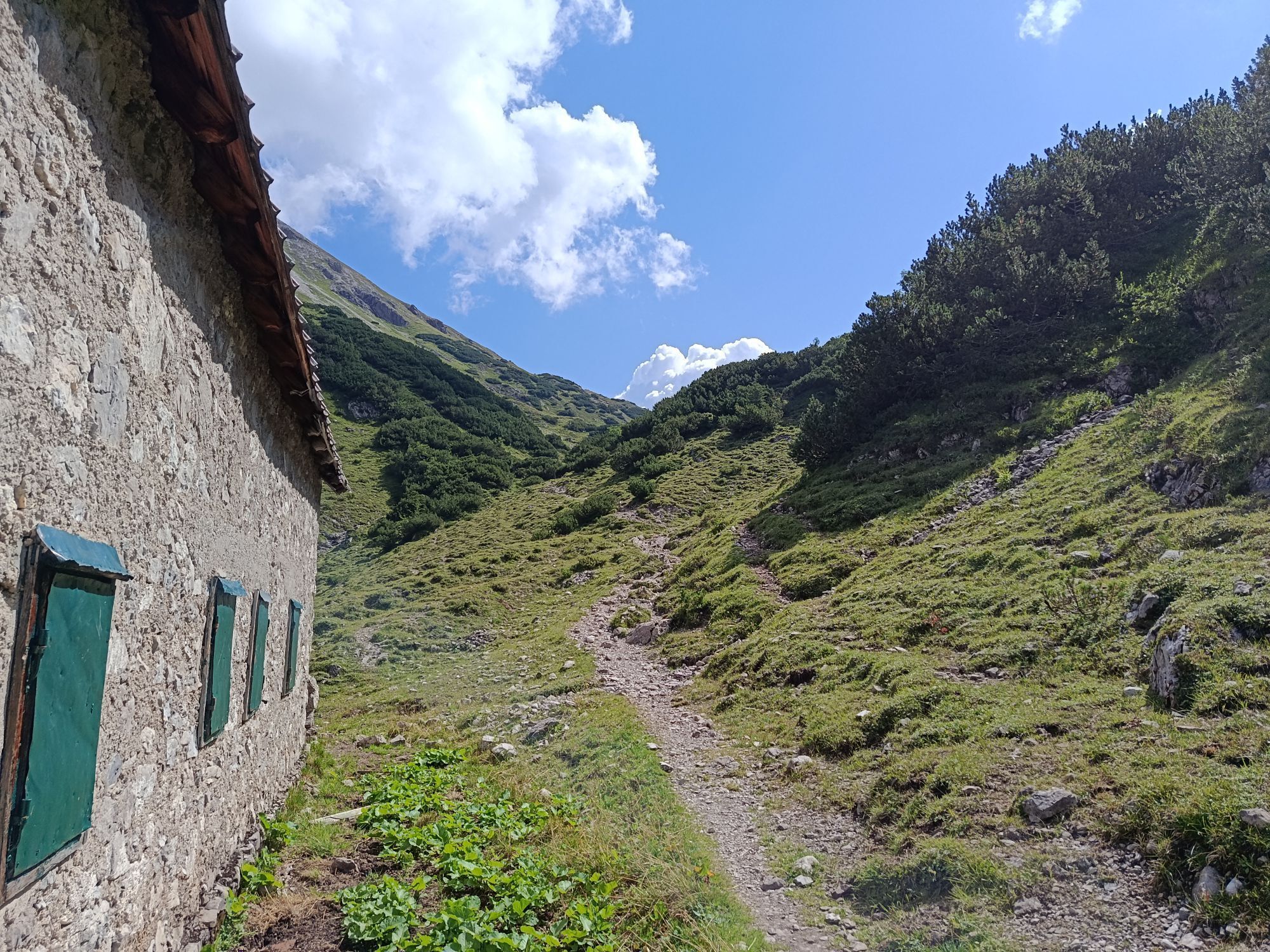
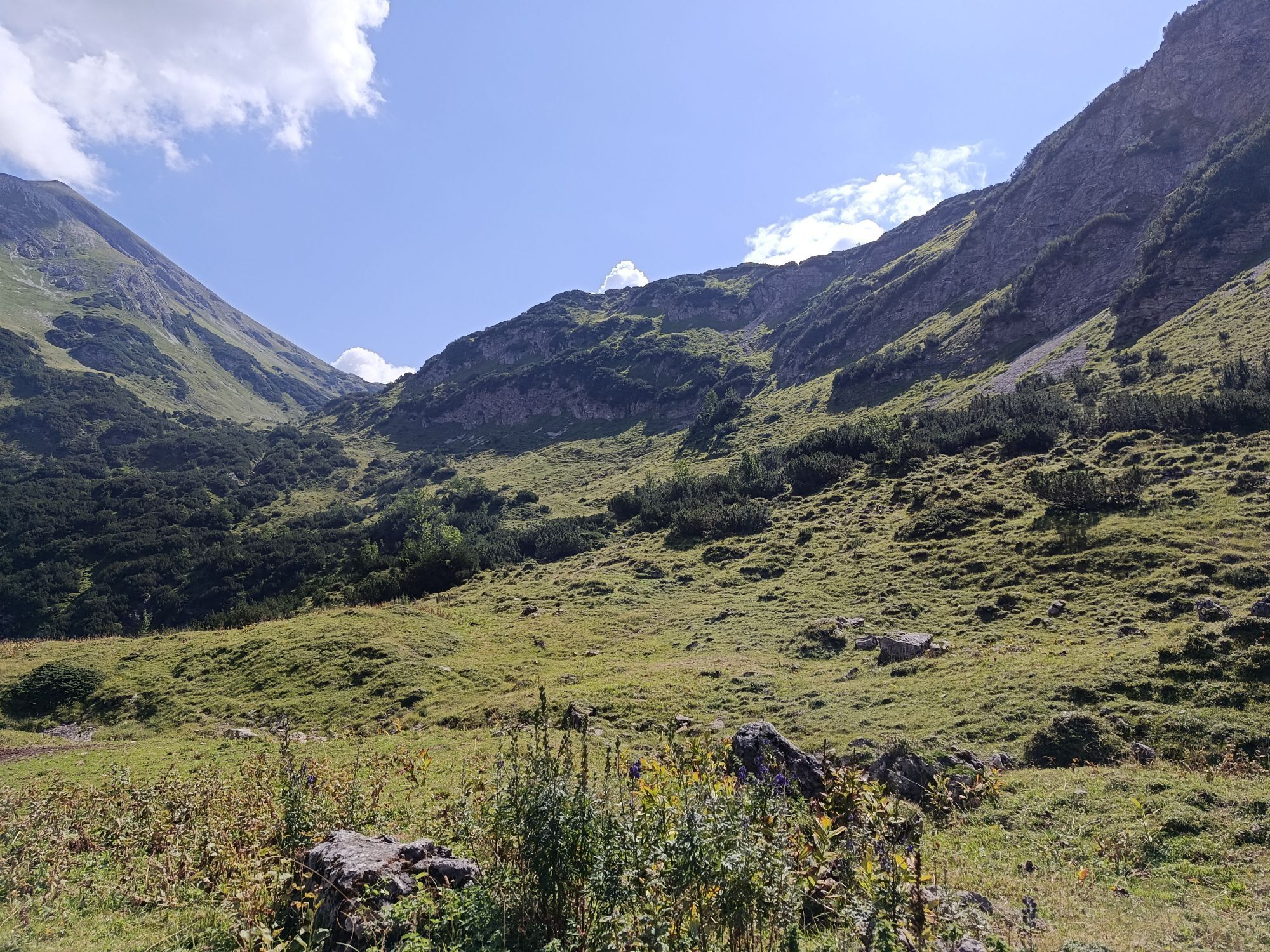
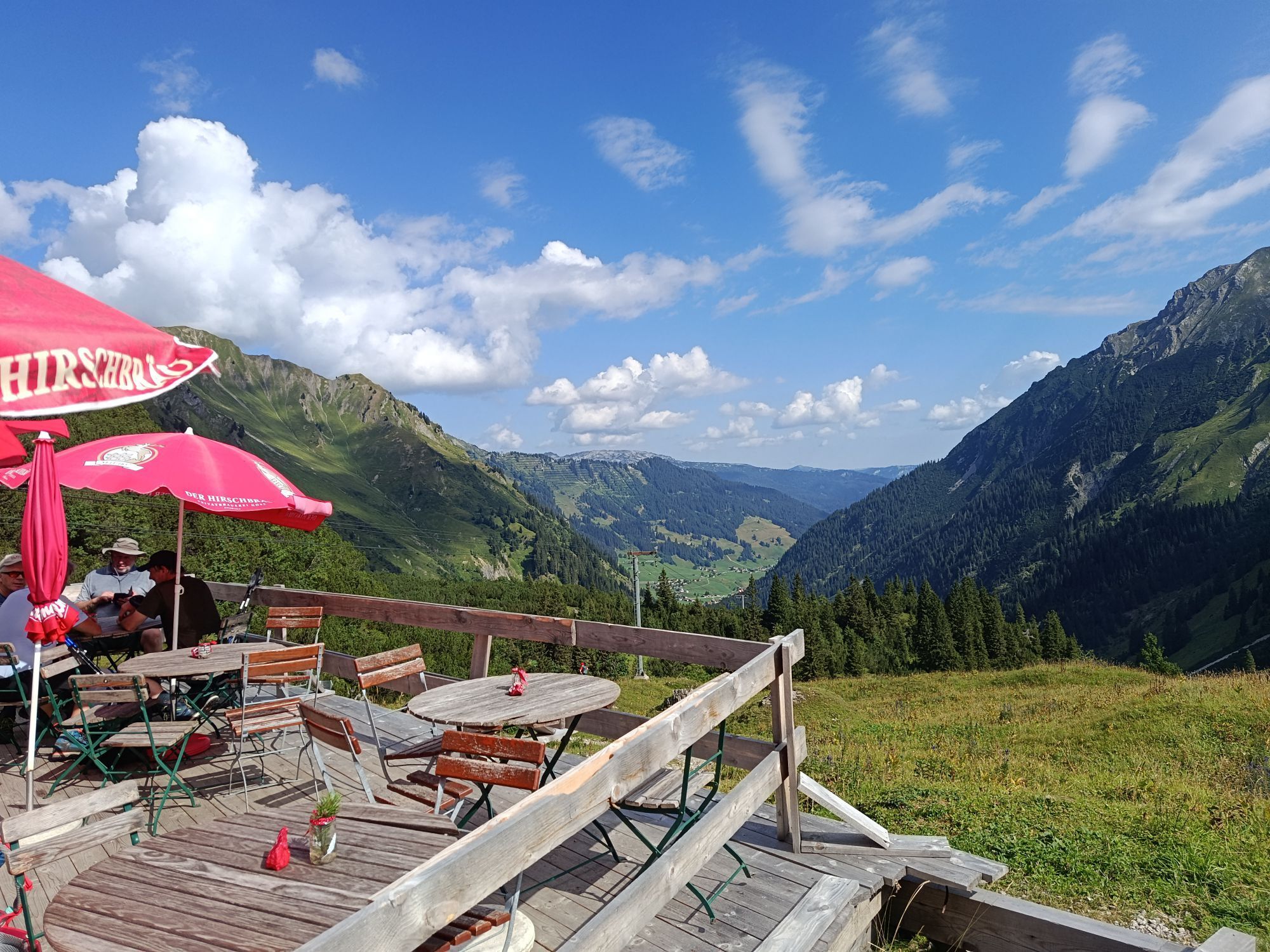
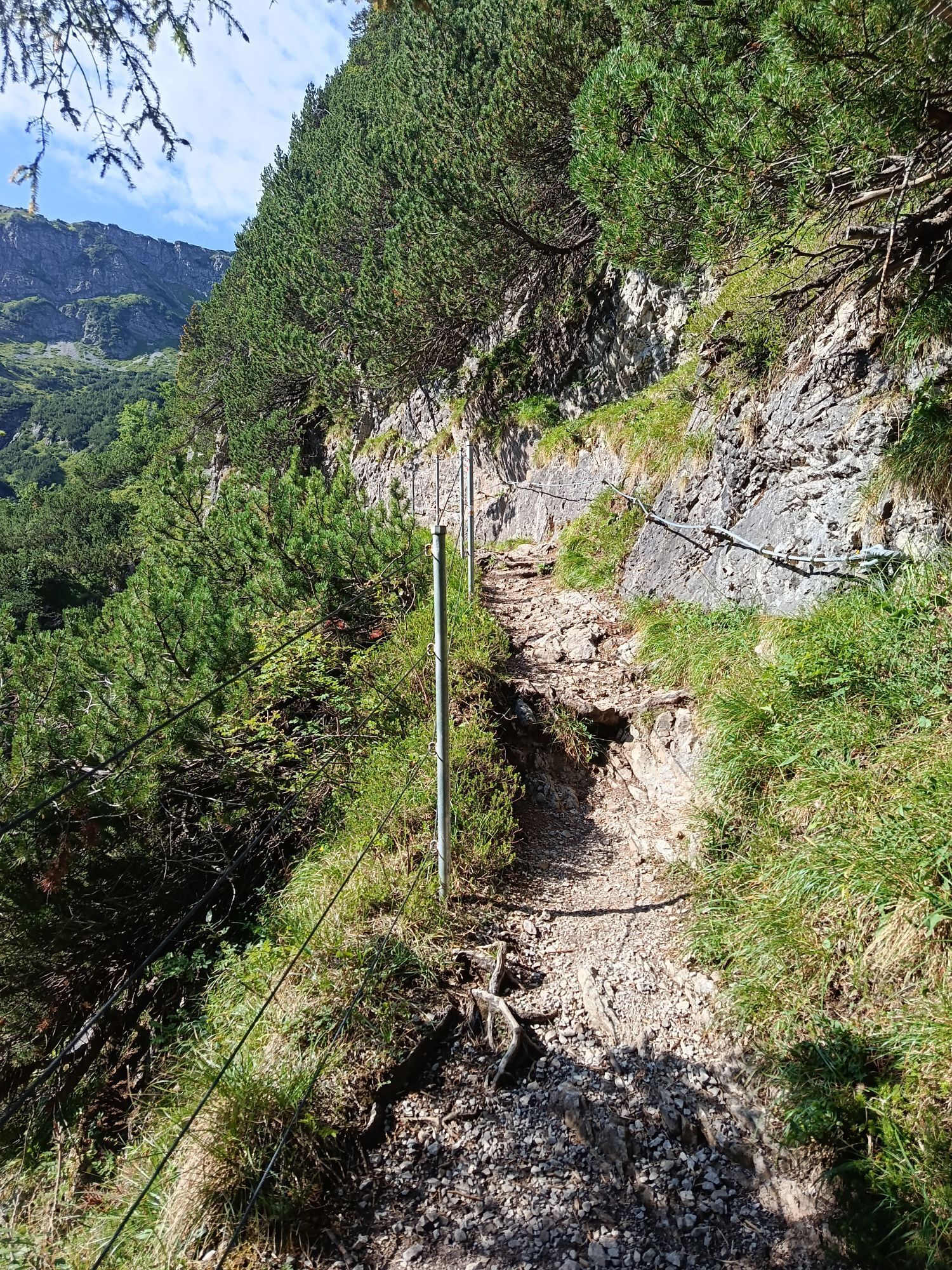
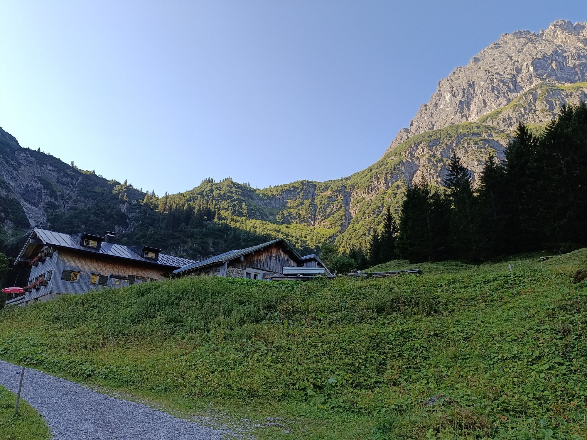
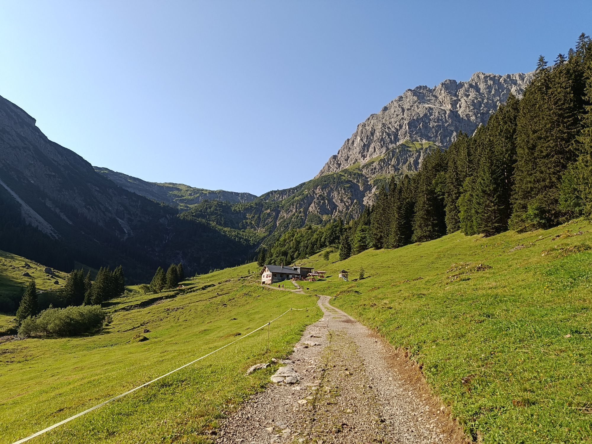
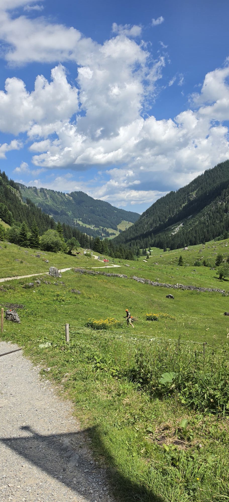
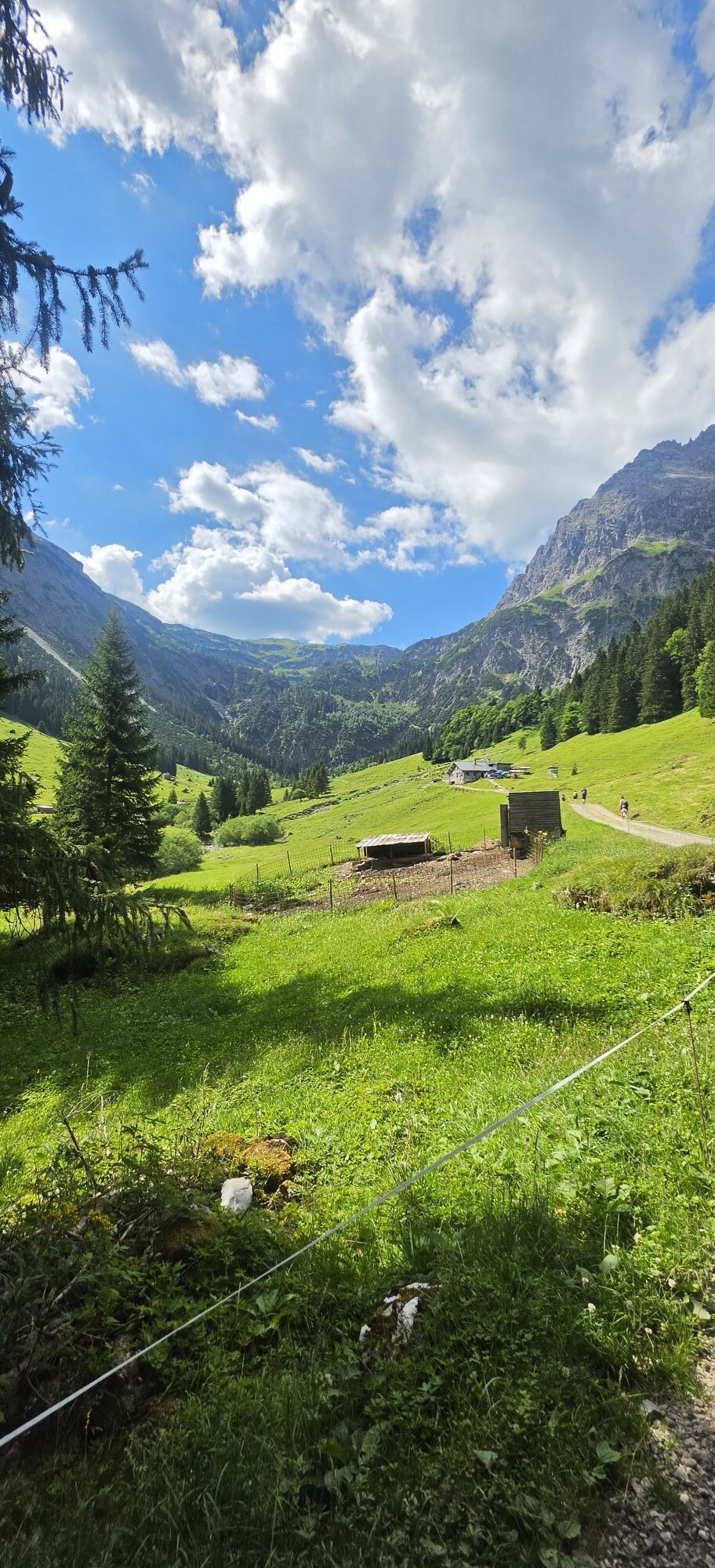
Die Tour führt vom Mittelberger Ortsteil Schwendle mäßig ansteigend auf einem Alpweg, vorbei an den bewirtschafteten Wiesalpen, hinein ins Wildental. Unterhalb der Fluchtalpe führt der Bergweg rechts des...
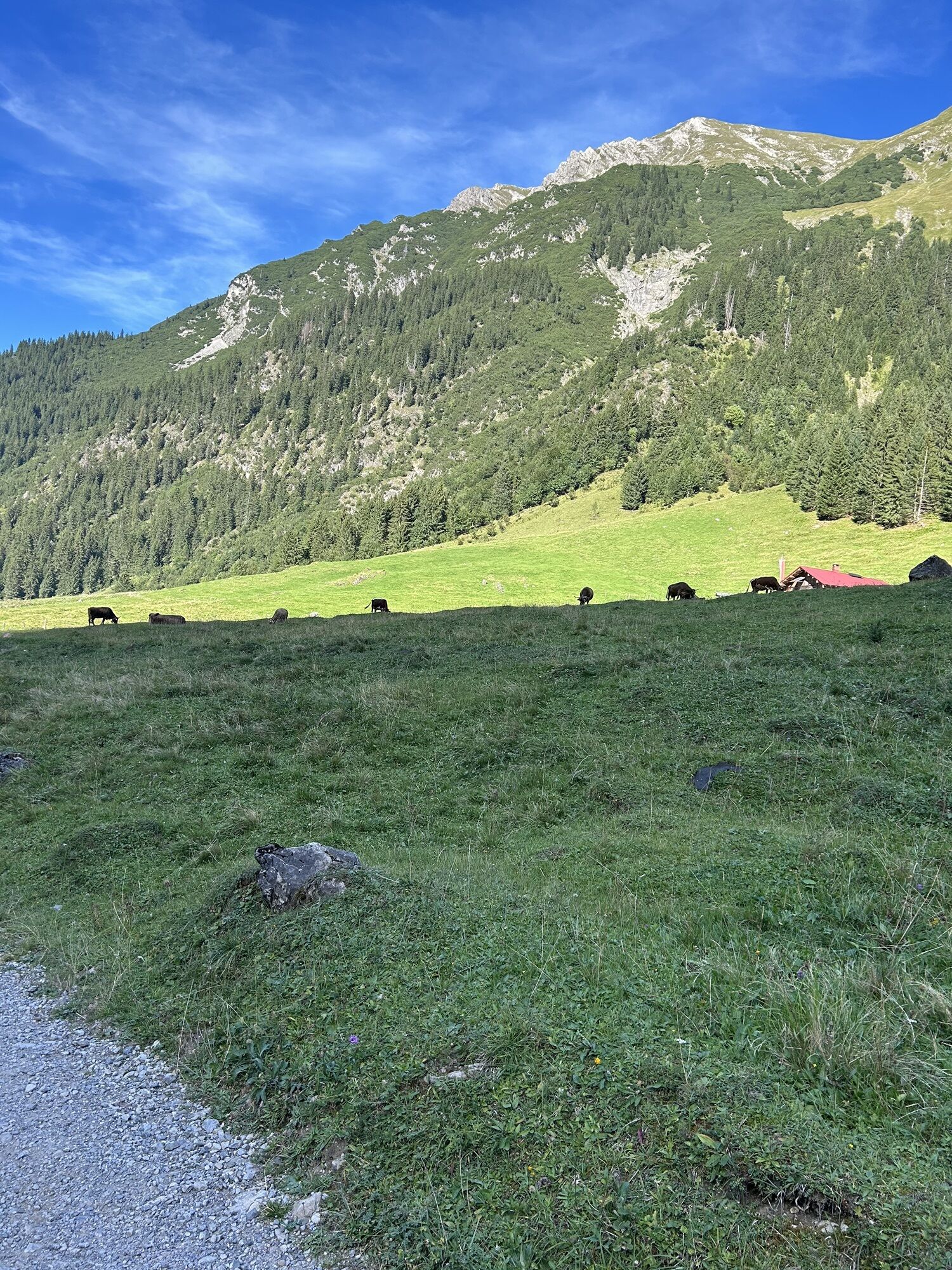
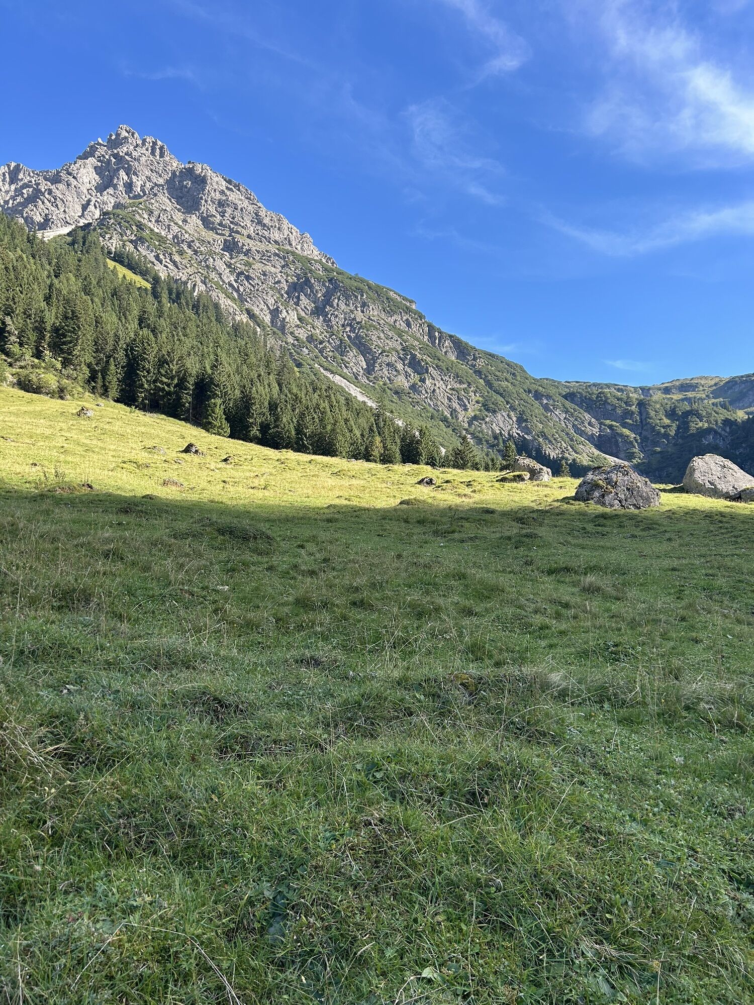
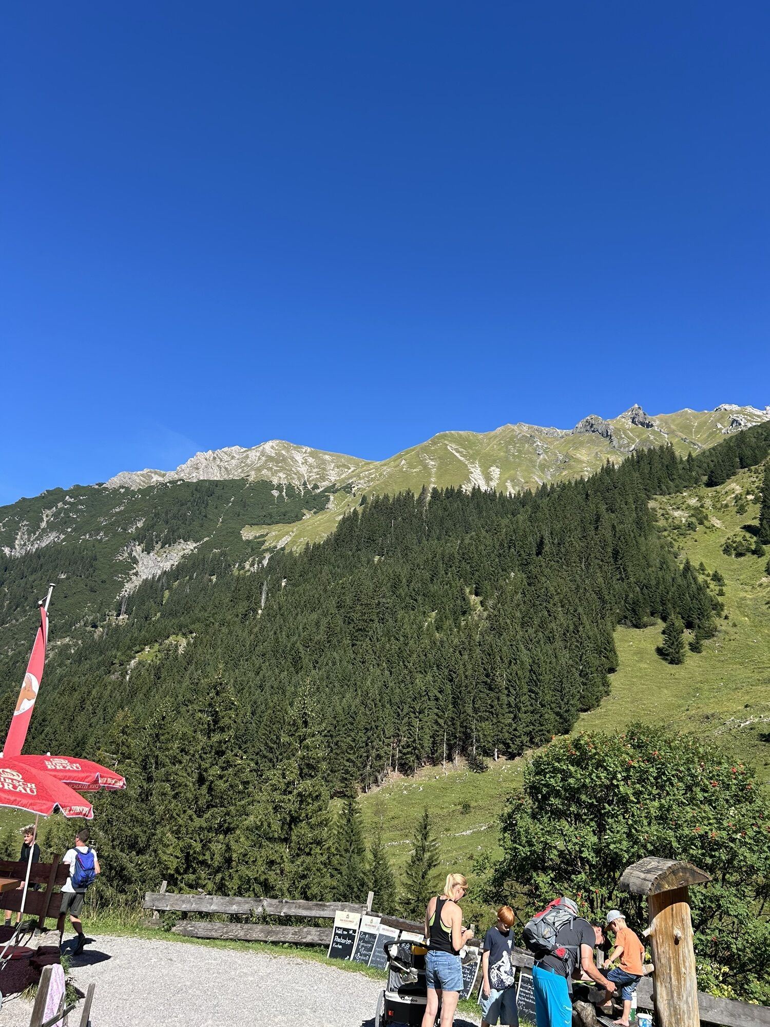
Die Tour führt vom Mittelberger Ortsteil Schwendle mäßig ansteigend auf einem Alpweg, vorbei an den bewirtschafteten Wiesalpen, hinein ins Wildental. Unterhalb der Fluchtalpe führt der Bergweg rechts des Bachlaufs Richtung Wasserfall hinauf in ein großes, vom Elferkopf und den Schafalpenköpfen begrenztes Kar. Von dort geht es steil ansteigend und anspruchsvoll über ein Geröllfeld Richtung Kemptner Scharte. Hier ist Trittsicherheit und Schwindelfreiheit erforderlich. Ab der Kemptner Scharte geht es hinab zur Mindelheimer Hütte, die sich für eine kurze Einkehr anbietet. Von dort aus leicht ansteigend in hochalpiner, von Fels- und Blockgelände geprägter Umgebung bis zum Sattel, von dem rechterhand der Weg auf den Gipfel des Walser Geißhorns abzweigt. Der Abstieg erfolgt, wieder durch Bergwiesen geprägt, vorbei an drei bewirtschafteten Alphütten. Nach der Oberen Gemstelhütte führt der steinige Wanderweg, in einer Klamm kurzzeitig mit Drahtseilen versichert - durch einen Latschenkiefergürtel hinab zur Hinteren Gemstelalpe. Von hier geht es auf einem breiteren Alpweg vorbei an Bernhards Gemstelalp und durchs Gemsteltal hinaus in den Mittelberger Ortsteil Bödmen.
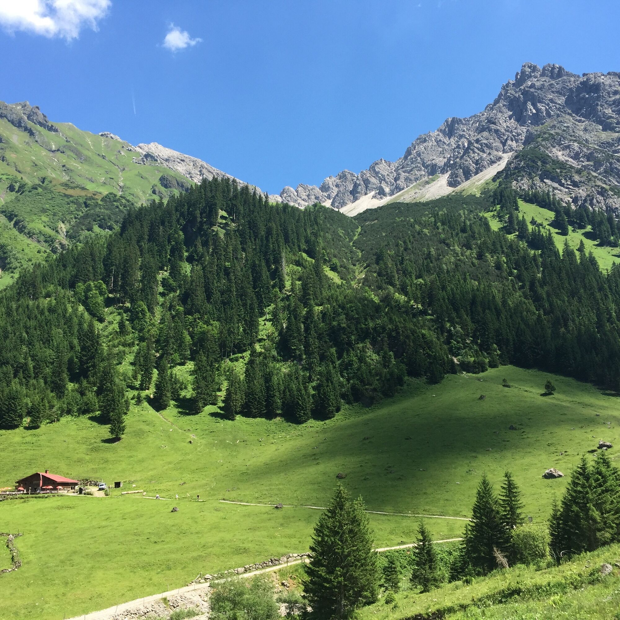

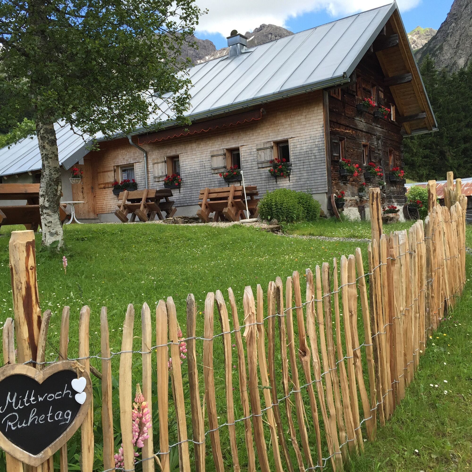
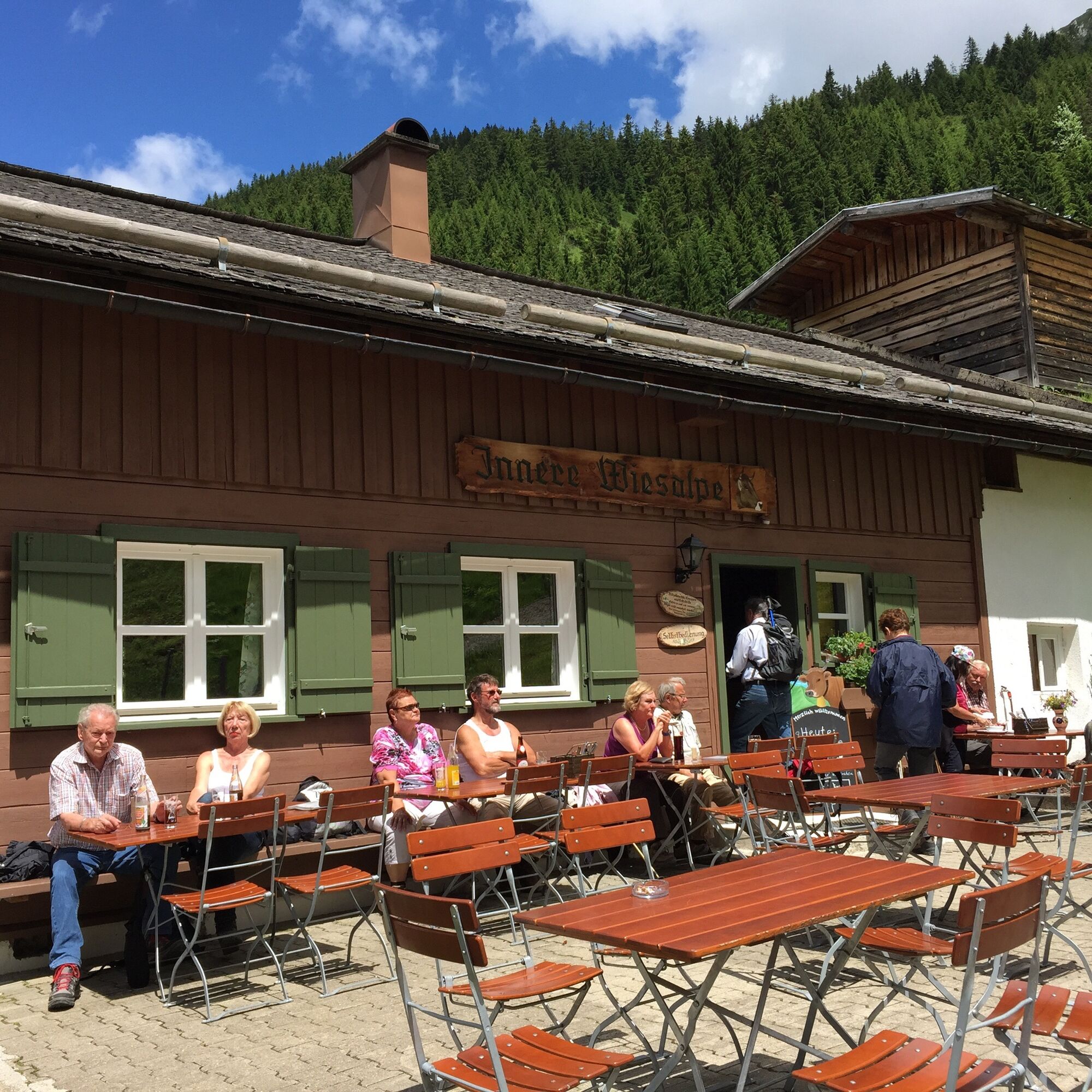
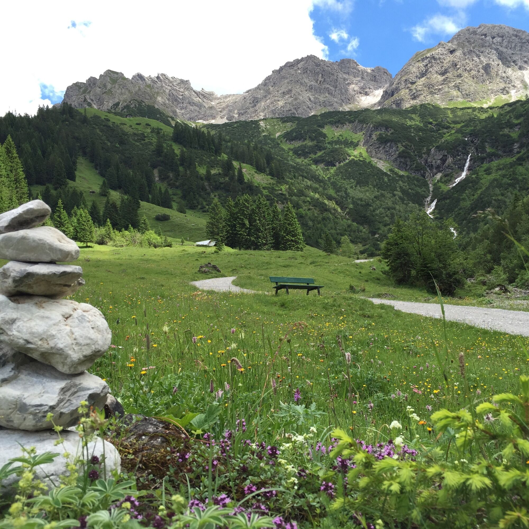
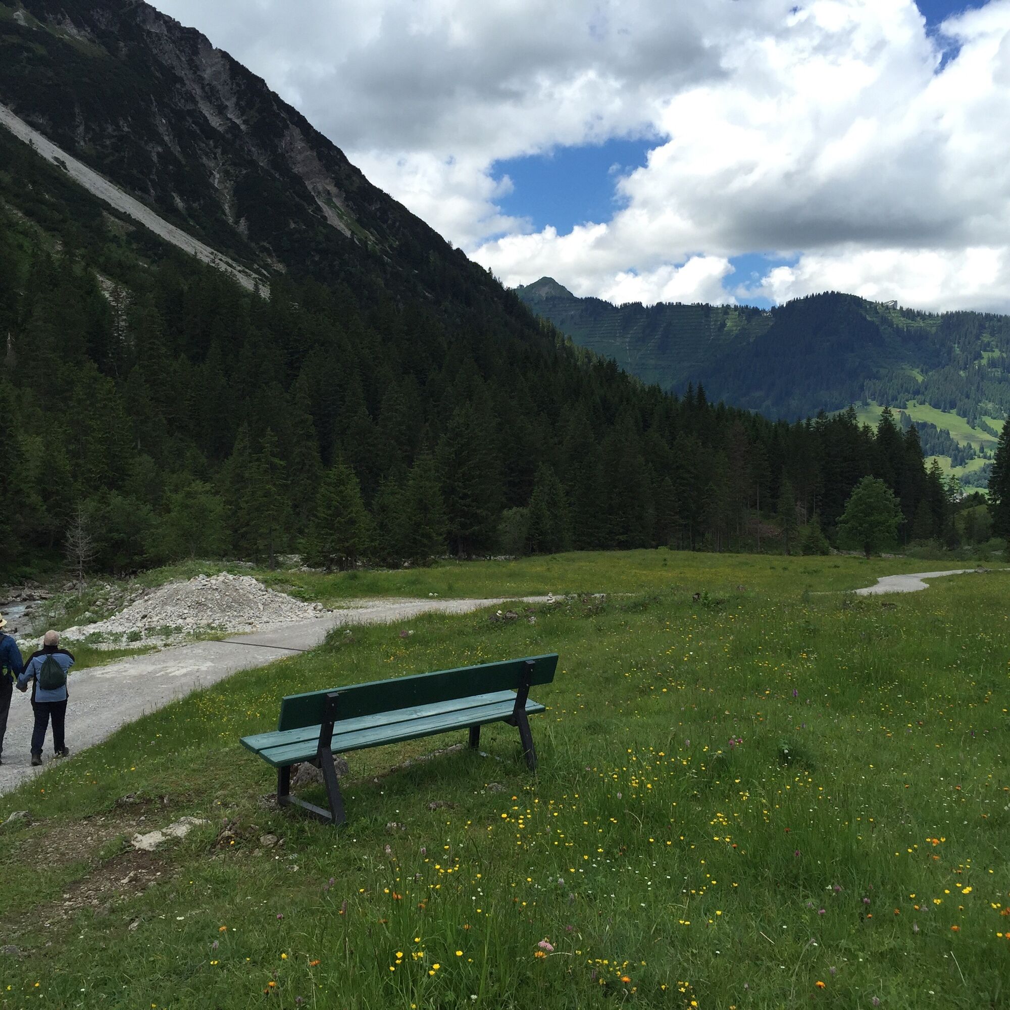
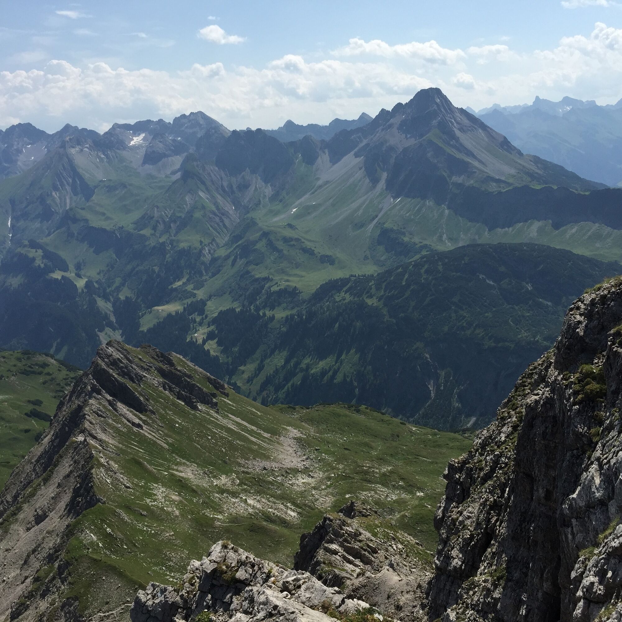
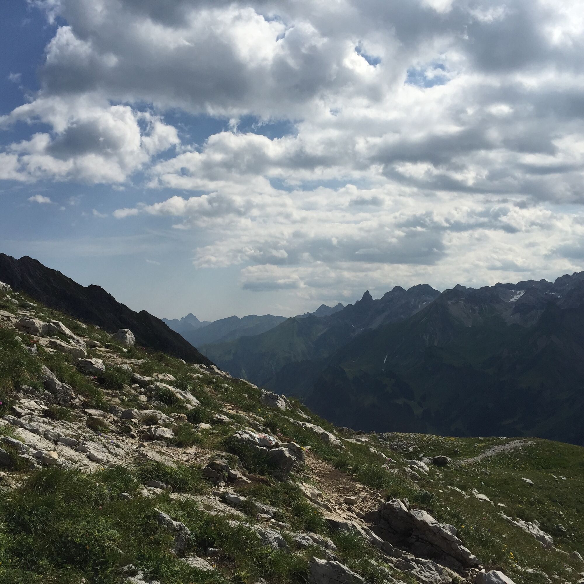
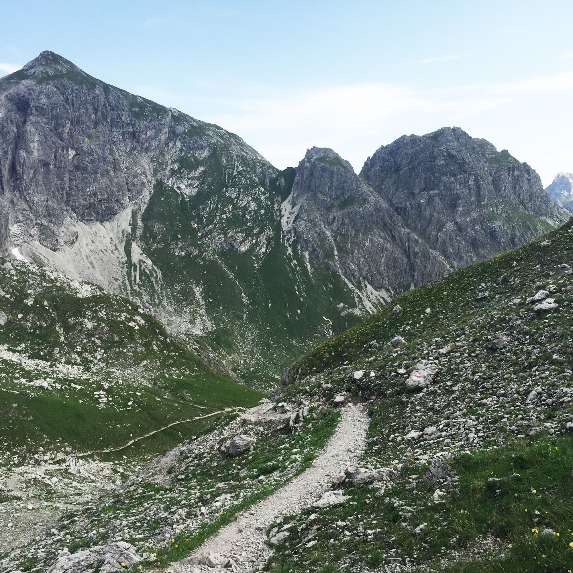
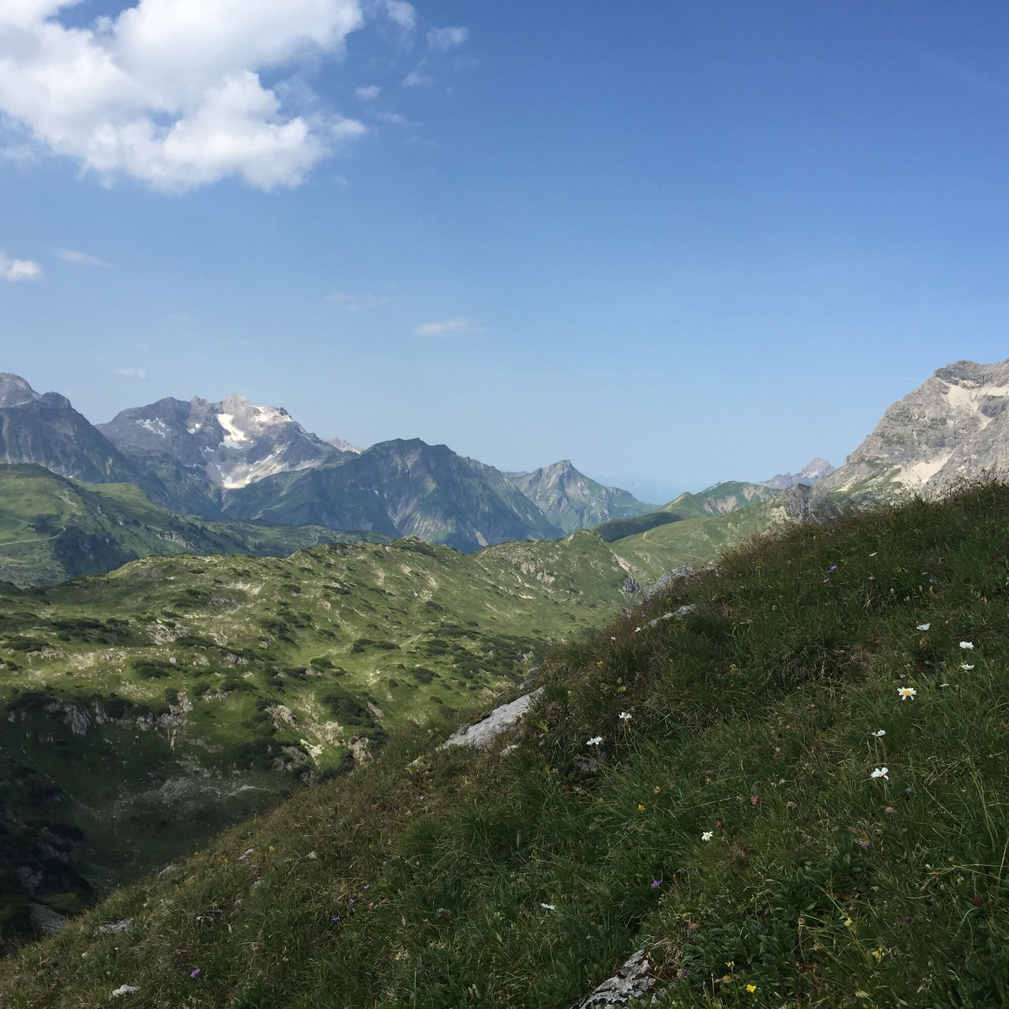
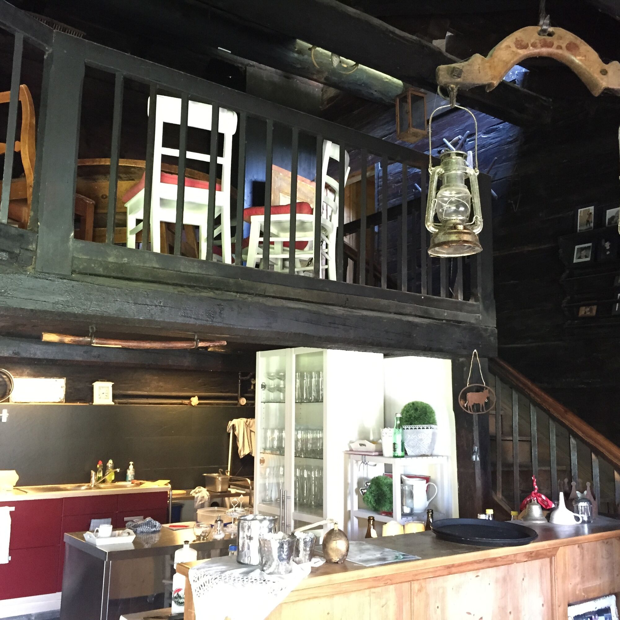

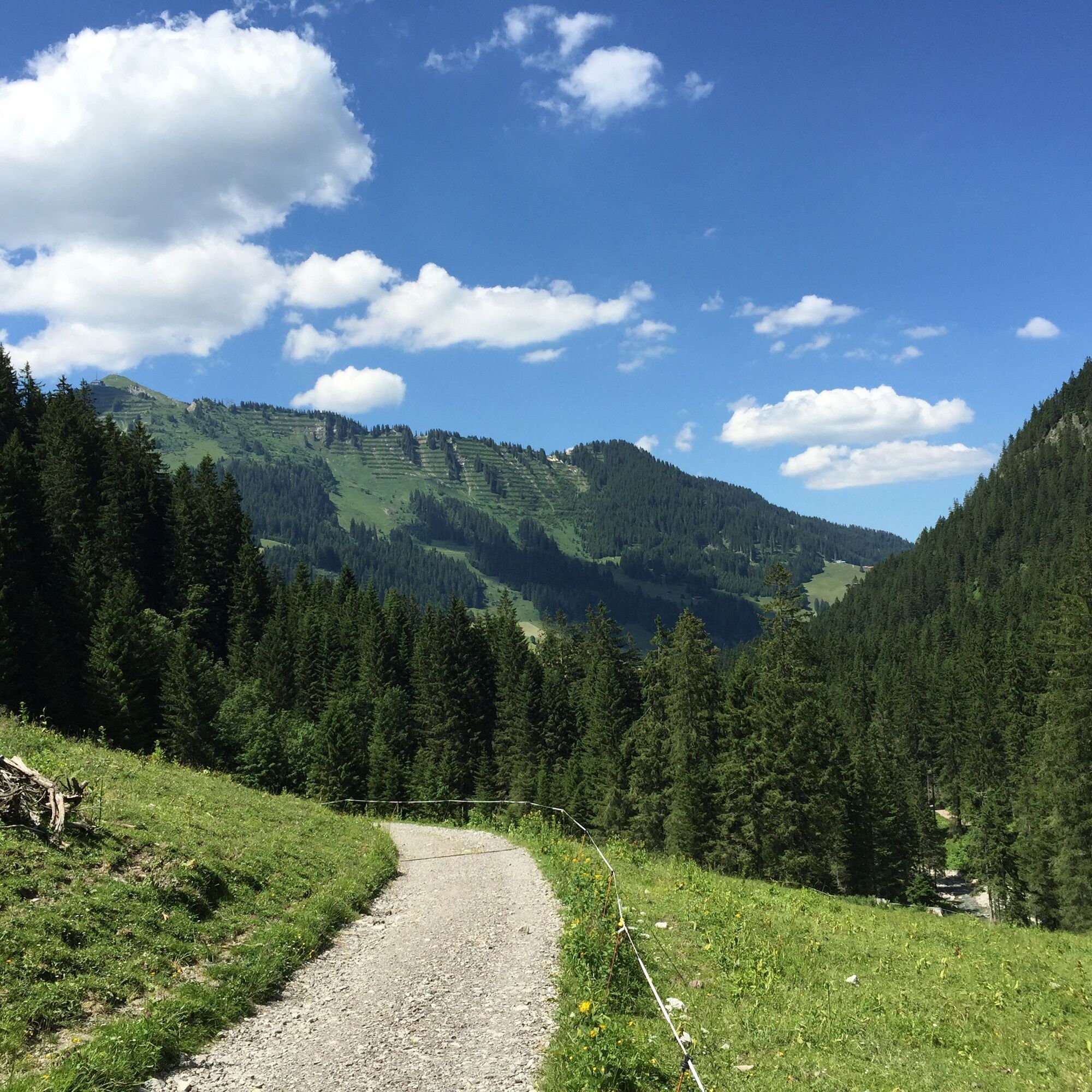

Mittelberg / Schwendle -Wiesalpen - Fluchtalpe - Hintere Wildenalpe - Kemptner Scharte - Mindelheimer Hütte - Geißhornjoch - Oberen Gemstelhütte - Hintere Gemstelalpe - Bernhards Gemstelalp - Mittelberg / Bödmen
Wetterangepasste Kleidung und festes Schuhwerk. Wanderstöcke empfehlenswert.
NOTRUF:
144 Alpine Notfälle Vorarlberg
112 Euro-Notruf (funktioniert mit jedem Handy/Netz)
Die Wanderwege im Wildental werden viel begangen. Den Wanderern zuliebe fahren keine Fahrradfahrer*innen ins Wildental.
Die meisten Anreisewege aus Deutschland treffen in Ulm aufeinander und führen weiter auf der A7. Beim Autobahndreieck Allgäu über das Teilstück der A980 bis zur Anschlussstelle Waltenhofen und auf der vierspurigen B19 über Sonthofen und Oberstdorf ins Kleinwalsertal. Aus Österreich (Vorarlberg) und der Schweiz erreicht man das Kleinwalsertal über den Bregenzerwald (Hittisau) – Riedbergpass – Fischen – Oberstdorf. Von Tirol kommend führt der schnellste Weg über die A7 nach Kempten und weiter auf der B19 Richtung Oberstdorf. Für die Fahrt ins Tal wird keine Autobahn-Vignette benötigt.
Ausgangspunkt der Tour: Walserbus Linie 4, Bushaltestelle Schwendle
Rückfahrt ab: Walserbus Linie 1, Bushaltestelle Weiher
Kostenpflichtige Parkplätze am Ausgangspunkt der Tour am Parkplatz Schwendle oder am Bergheim Moser. Alternativ kann auch am Parkplatz Birkenwies geparkt werden.
T3
Nature is so much more than the backdrop for unforgettable mountain experiences. It is a habitat for animals and plants. It provides drinking water and supplies us with high quality food. Not only does it provide valuable raw materials such as wood, it also protects against avalanches and mudslides and regulates the climate. It is up to us to support nature in everything that it does for us. One thing is certain, together we can achieve more:
Smart in NATURE
CONSCIOUS together
EXPERIENCE foresight
Smart in NATURE
Take a deep breath and recharge your batteries, be outside and feel free. When we enjoy nature, we are guests in the living room of shy animals and rare plants. If you behave smart, they will be happy to share their living space with you in the future too.
Stay on paths and marked routes
If you follow the marked paths and routes, you are sure to come to new favorite places. In this way you also respect protected areas, because many animals and plants need special protection. Especially in winter, any disturbance unnecessarily costs the wild animals the strength they need to survive.
Avoiding twilight times
Standing on a mountain at sunrise is a special experience. The morning and evening hours are also the time when most wild animals are in search of food. If they are disturbed, they get stressed. If it cannot be avoided, please stay on the marked path, do not use a bright headlamp and enjoy the silence.
Stay clean & take rubbish with you
It goes without saying: You take rubbish with you again, on the mountain and in the valley. Please also organic waste, because it is composted much more slowly at altitude. You can dispose of the rubbish properly at home or in your accommodation - please remember that there are no rubbish bins in public spaces in Kleinwalsertal.
On the natural toilet
If you are looking for a quiet place, please be at least 50 m away from water. Bury excrement or cover it with a large stone. Use fallen leaves or recycled toilet paper and put the paper back in the trash bag.
On tour with a dog
Are you always in control of your four-legged partner, even if he gets his nose for marmots, deer or other wild animals? You are both on the safe side on a leash. Keep dogs on a short leash near grazing cattle. If an attack by a grazing animal is foreseeable: leash off immediately. There are numerous dog stations in the valley for the disposal of dog bags. The farmers and alpine farmers thank you because manure in meadows and fields contaminates the feed and makes grazing cattle sick.
CONSCIOUS to each other
Consideration for other athletes and those looking for relaxation
Everyone loves to enjoy a special piece of earth for themselves. But most of the time we are not traveling alone. No problem, because there is enough space. Allow time, open the way in an accommodating manner, provide support when someone needs help and always give a smile. So nothing stands in the way of friendly cooperation and relaxed enjoyment of nature.
Appreciating the preservation of the cultural landscape
Alpine landscapes are touching with their contrast: Imposing peaks and natural forests alternate with gentle valleys, well-tended meadows and pastures. In the Kleinwalsertal too, this delightful landscape at three altitudes is no coincidence, but the result of an interplay of natural and cultural landscapes. Behind this is the work of farmers, alpine and forestry as well as hunters. With their work, they ensure that the attractiveness of the recreation and leisure area and the diversity of species are preserved. We already say thank you if we stay on the marked trails and enjoy regional products.
EXPERIENCE farsighted
Safe on tour - for you and others
Whether on a ski or snowshoe tour in winter or on a mountain tour in summer, anyone who is out and about in alpine terrain has to be well prepared. This includes careful information and tour planning as well as the right equipment. Correctly assessing alpine dangers requires a lot of knowledge and experience. Why not learn from professionals and go on tour with one of the experienced guides?
Mit etwas Glück bietet sich auf dieser Tour die Möglichkeit Steinböcke zu sehen.
Durch die Übernachtungsmöglichkeit auf der Mindelheimer Hütte kann die Tour auch auf 2 Etappen aufgeteilt werden. Mit Übernachtung oder für besonders konditionsstarke Bergwanderer*innen auch eintägig bietet sich der Gipfelanstieg auf das 2366 Meter hoch gelegene Walser Geißhorn an. Allerdings ist die Dauer vom Geißhornsattel bis zum Gipfel nicht zu unterschätzen. Wer sich für den Gipfelanstieg entscheidet, wird mit einem beeindruckenden 360-Grad Ausblick belohnt.



Webcams der Tour
Bergstation Kanzelwandbahn Riezlern
Fellhornbahn Station Schlappoldsee
Fellhornbahn Gipfelstation
Warth / Hotel Walserberg
Fellhorn/Oberstdorf Kleinwalsertal
Hirschegg - Naturhotel Chesa Valisa
Zaferna Bergstation
Riezlern - Kinderland
Wildentalhütte
Mittelberg - Naturhotel Lärchenhof
Plattform - Schirmbar Riezlern
Hirschegg - Hotel Walserhof
Hirschegg - Hotel Birkenhöhe
Hirschegg - Hotel Sonnenberg
Mittelberg Bödmen - Hotel Alte Krone
Warth-Schröcken - Saloberarena
Warth-Schröcken - Saloberjet
Mittelberg - Haus Walser Berge
Möserbahn Berg
Möserbahn Berg
Möserbahn Berg
Möserbahn Berg
Möserbahn Berg
Kanzelwand / Fellhorn
Fellhorn
Körbersee
Mittelberg - Bergpension Starzelhaus
Warth-Schröcken - Widdersteinhütte
Mittelberg - Gästehaus Otto Fritz
Bannholzhof
Fellhorn/Oberstdorf Kleinwalsertal
Fellhorn/Oberstdorf Kleinwalsertal
Fellhorn/Oberstdorf Kleinwalsertal
Fellhorn/Oberstdorf Kleinwalsertal
Fellhorn/Oberstdorf Kleinwalsertal
Fellhorn/Oberstdorf Kleinwalsertal
Fellhorn/Oberstdorf Kleinwalsertal
Bannholzhof
Kleinwalsertal / Haus Keti
Kleinwalsertal

Aktivitäten entlang der Tour


Beliebte Touren in der Nähe
- 4,9
Gerstruben - zum historischen Bergbauerndorf
mittelWanderung 12,8 km - 4,9
Holzgau zur Rossgumpenalm
mittelWanderung 4,09 km - 4,6
Bergtour über den Fellhorngrat
mittelWanderung 8,24 km - 4,8
Rundwanderung durchs Gemsteltal
leichtWanderung 5,53 km - 4,2
2-Länder-Panorama-Rundwanderweg Fellhorn/Kanzelwand
leichtWanderung 6,70 km - 4,5
Rundwanderung durchs Derratal
mittelWanderung 8,11 km - 4,7
Widderstein Runde von Baad
mittelWanderung 15,8 km - 4,7
E5 - 1. Etappe: Oberstdorf - Kemptner Hütte
leichtFernwanderweg 7,80 km - 4,7
Rundwanderung durchs Duratal
mittelWanderung 7,77 km - 4,3
Rundwanderung durchs Bärgunttal
mittelWanderung 4,75 km
Wandern & Tracking


Verpasse keine Angebote und Inspirationen für deinen nächsten Urlaub
Deine E-Mail-Adresse wurde in den Verteiler eingetragen.





