


Santuario di Pietralba
Schwierigkeitsgrad: 4


The climb from Aldino bridge to the Pietralba Sanctuary is not long, but demanding. From Novale (Rauth) to Lavaze’ Pass, the first kilometre is smooth then becoming steeper for the remaining 3km, gradient...
The climb from Aldino bridge to the Pietralba Sanctuary is not long, but demanding. From Novale (Rauth) to Lavaze’ Pass, the first kilometre is smooth then becoming steeper for the remaining 3km, gradient 16% to the pass.

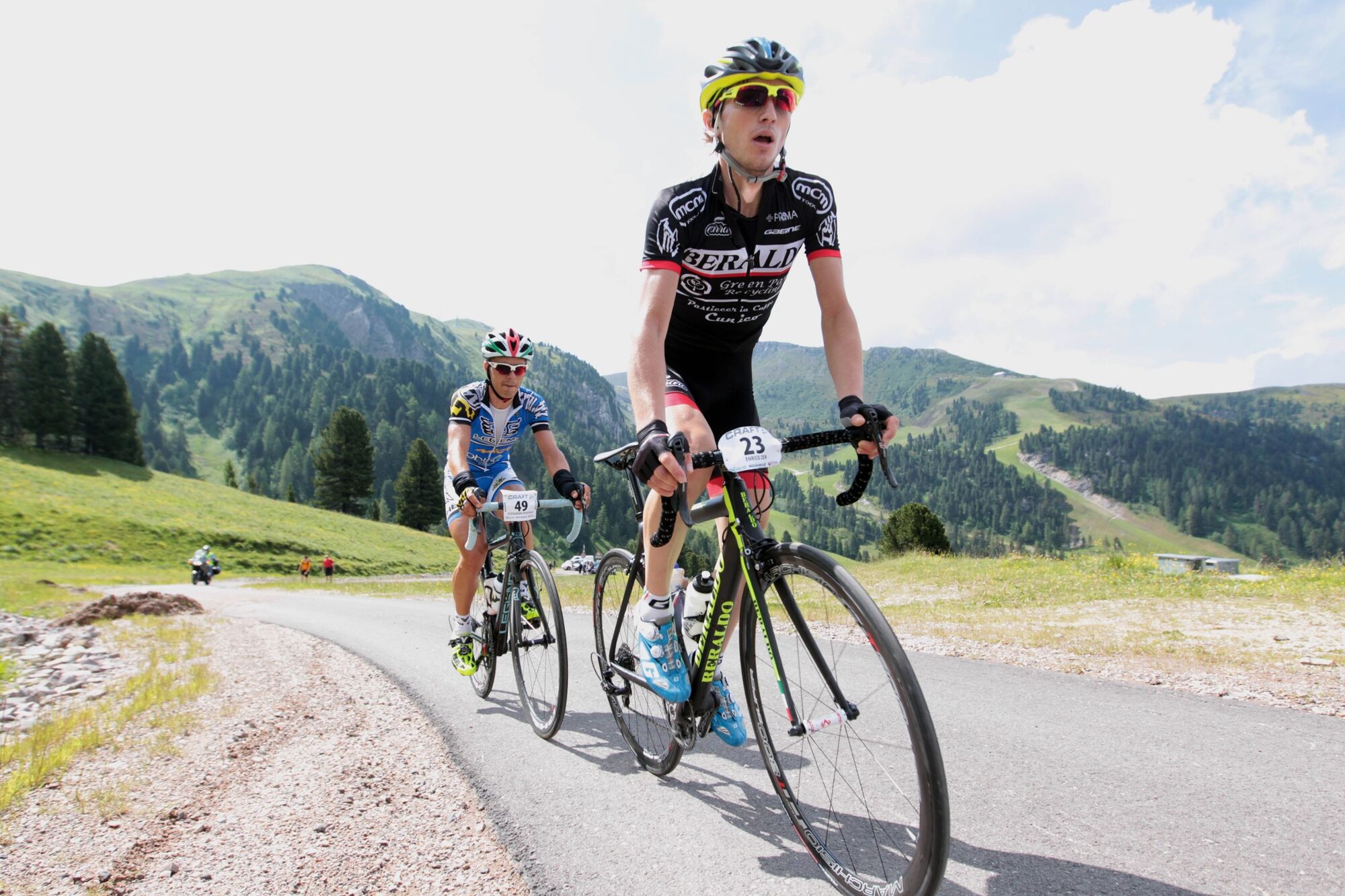
Quite demanding climbs, with technical and steep descents from Lavaze Pass to Tesero.
Please note that the practicability of the itineraries in a mountain environment is strictly linked to the contingent conditions and is therefore influenced by natural phenomena, environmental changes and weather conditions. For this reason, the information contained in this page may have changed. Before leaving for a tour, make sure the path you will approach is still accessible by contacting the owner of the mountain hut, the alpine guides or the visitor centres of the nature parks, the info offices of the local tourist board.
4
Webcams der Tour
Monte San Pietro - Golfplatz
Bergstation Absam Maierl
Montagna - Montan
Snowpark Obereggen
Montagna - Montan
Montagna - Montan
Montagna - Montan
Montagna - Montan
Montagna - Montan
Schmiederalm
Ski Center Latemar
Bletterbach
Laner
Hotel Pfösl - Deutschnofen
Golf Club Petersberg
Obereggen - Oberholz Talstation
Passo Feudo
Panoramahotel Obkircher – Deutschnofen
Jochgrimm - Schwarzhorn
Jochgrimm - Weißhorn
Jochgrimm - Weißhorn
Kreuz Gampnerknott
Hotel Schwarzhorn
Beliebte Touren in der Nähe
- 4,8
Torre di Pisa Hütte
mittelWanderung9,09 km - 4,3
EPPAN St. Michael Montiggler Seen v. 23.10.2018
leichtWanderung5 km - 5,0
Latemar Umrundung - die Kurze und Bequeme
mittelWanderung12,1 km - 4,8
Latemar Runde - Tour 930
mittelMountainbike37,4 km - 2,3
Seerundwanderung mit Naturlehrpfad am Kalterer See
Wanderung7,30 km - 5,0
Latemar Rundwanderung
mittelWanderung8,29 km - 4,5
Weißhorn
mittelWanderung6,64 km - 4,2
Rund um den Kalterer See
leichtWanderung7,59 km - 5,0
Latemar - Torre di Pisa
mittelWanderung9,76 km - 2,8
Wanderung zur Latemarhütte
mittelWanderung7 km

Wandern & Tracking


Verpasse keine Angebote und Inspirationen für deinen nächsten Urlaub
Deine E-Mail-Adresse wurde in den Verteiler eingetragen.