





Spitzstein Circuit

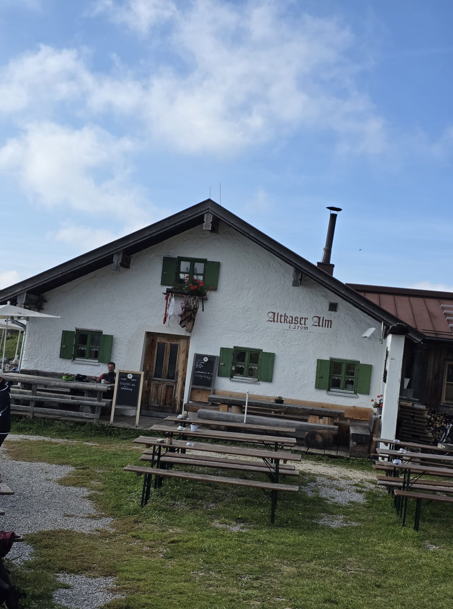
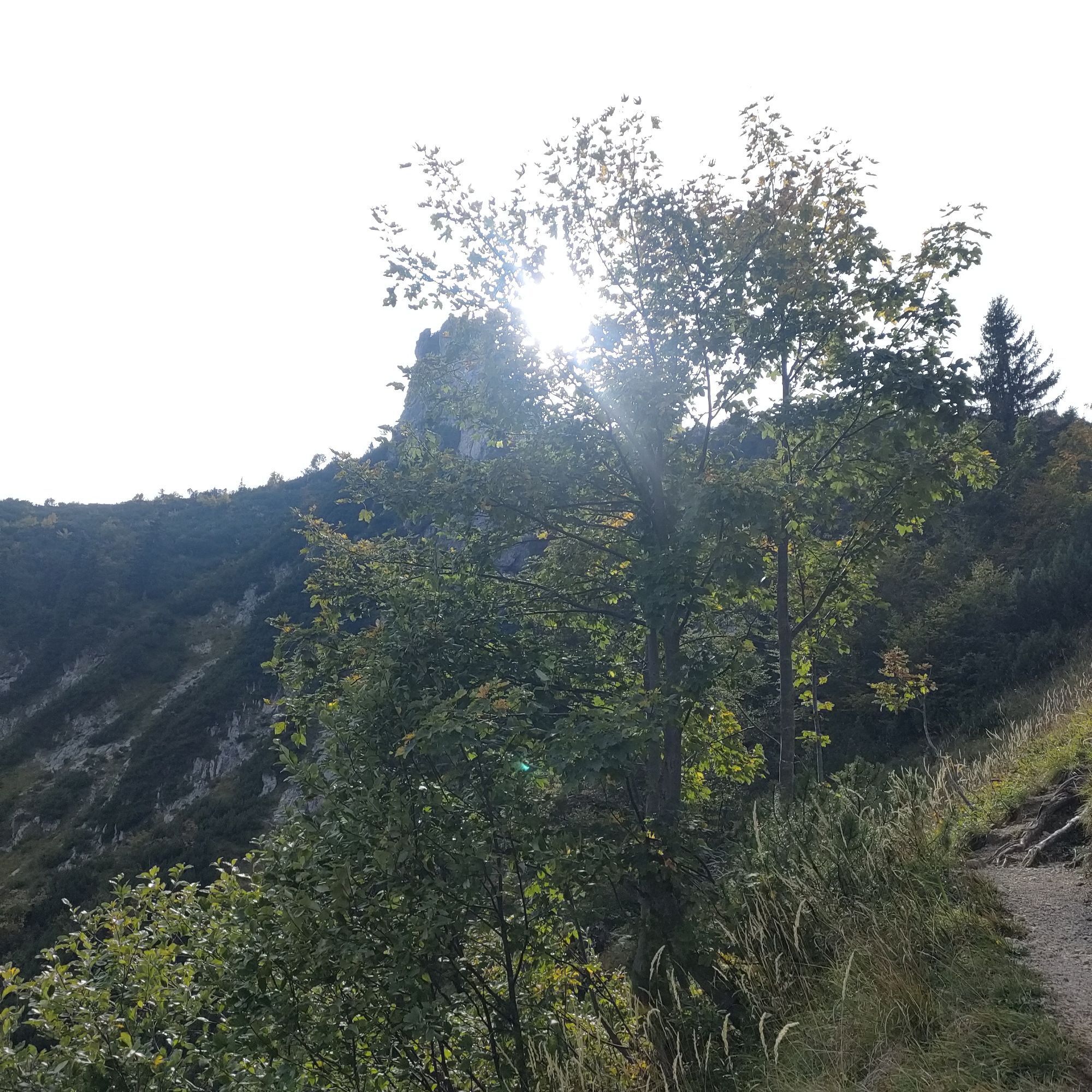
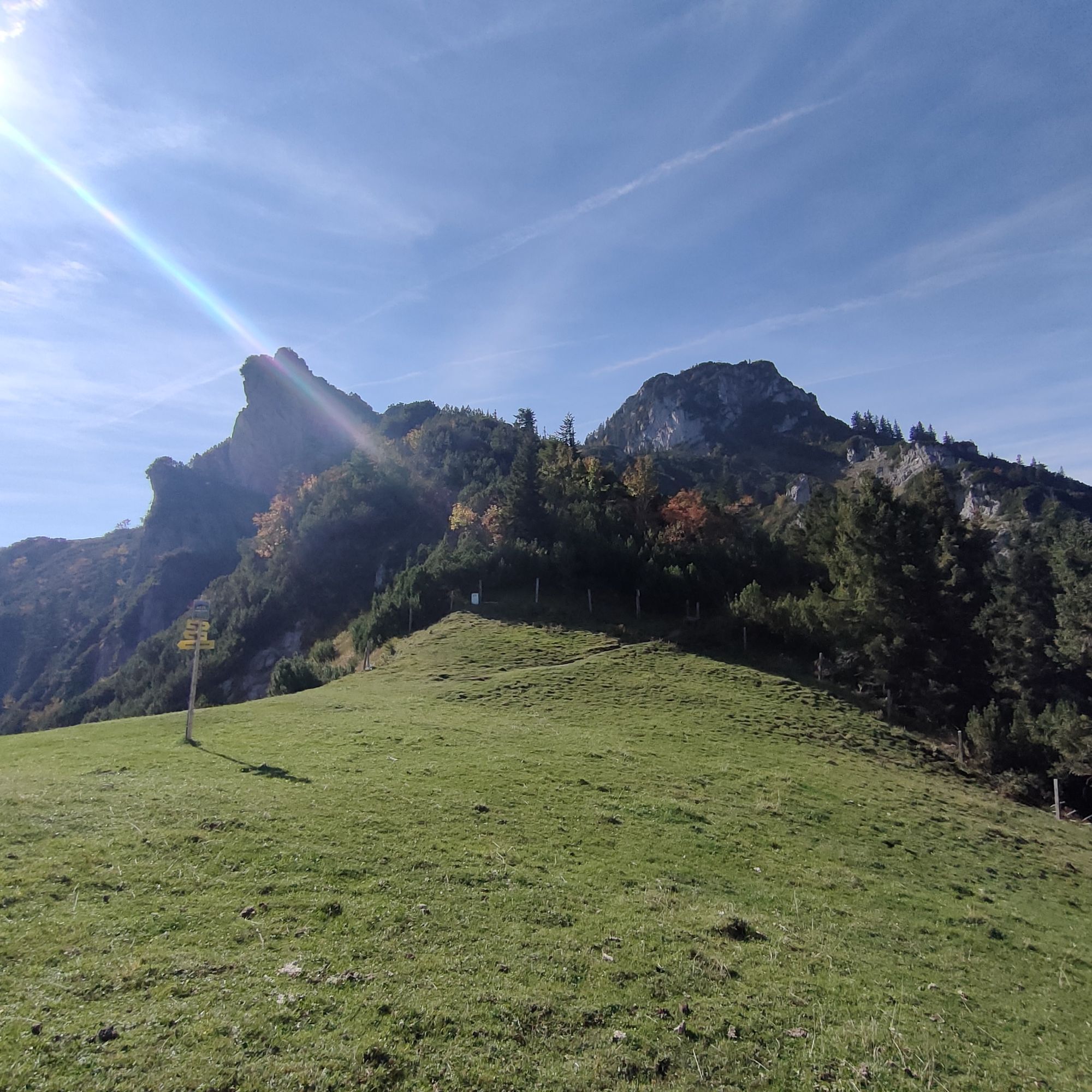
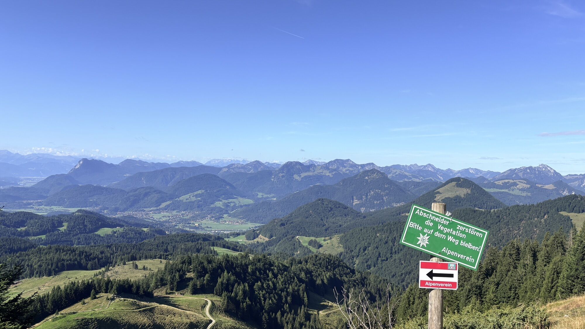
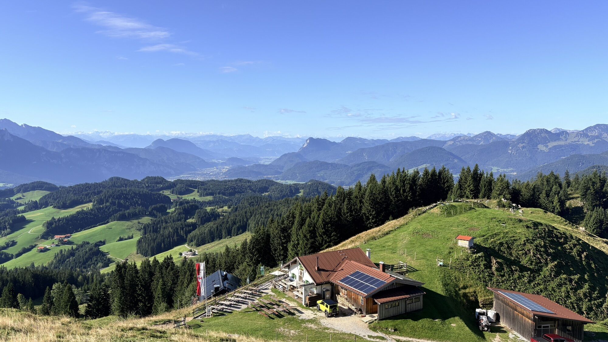
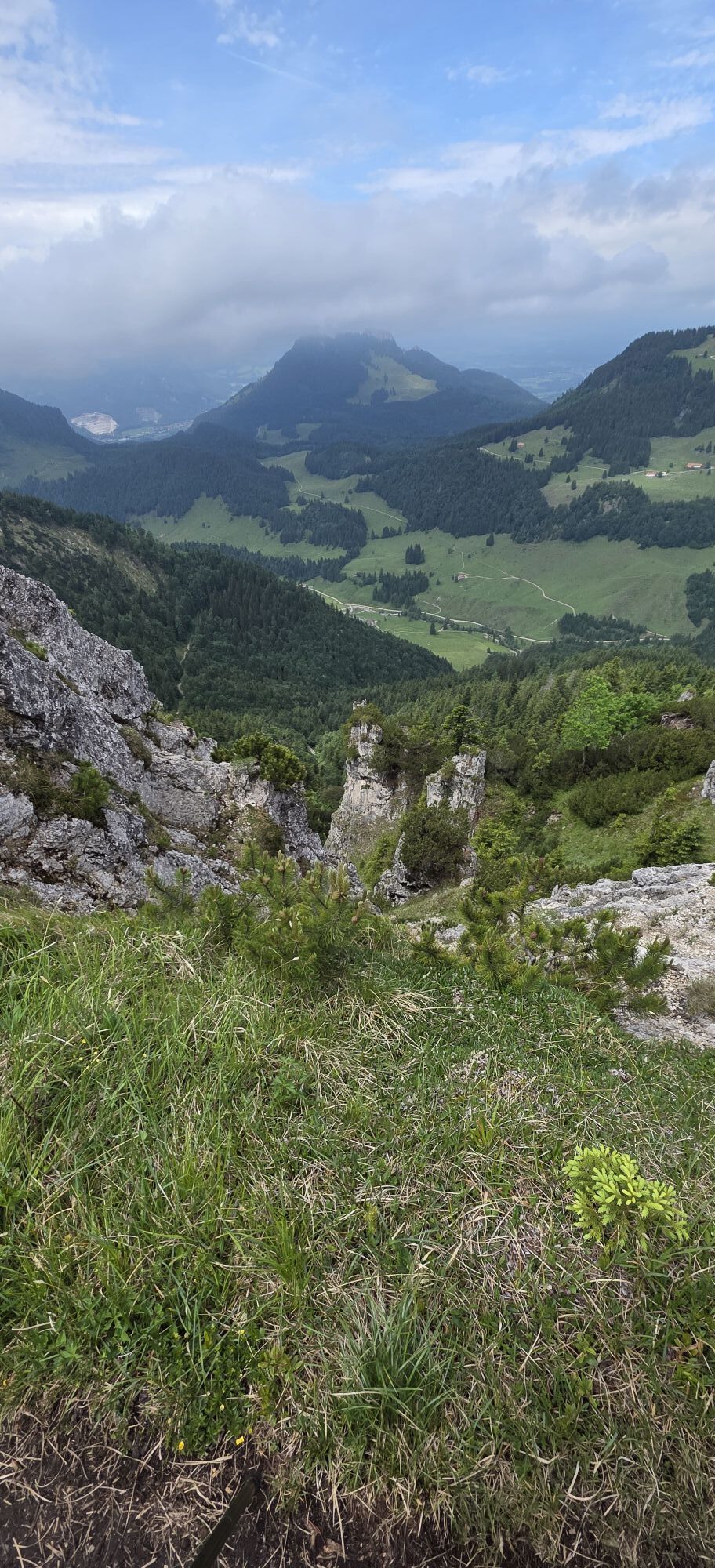
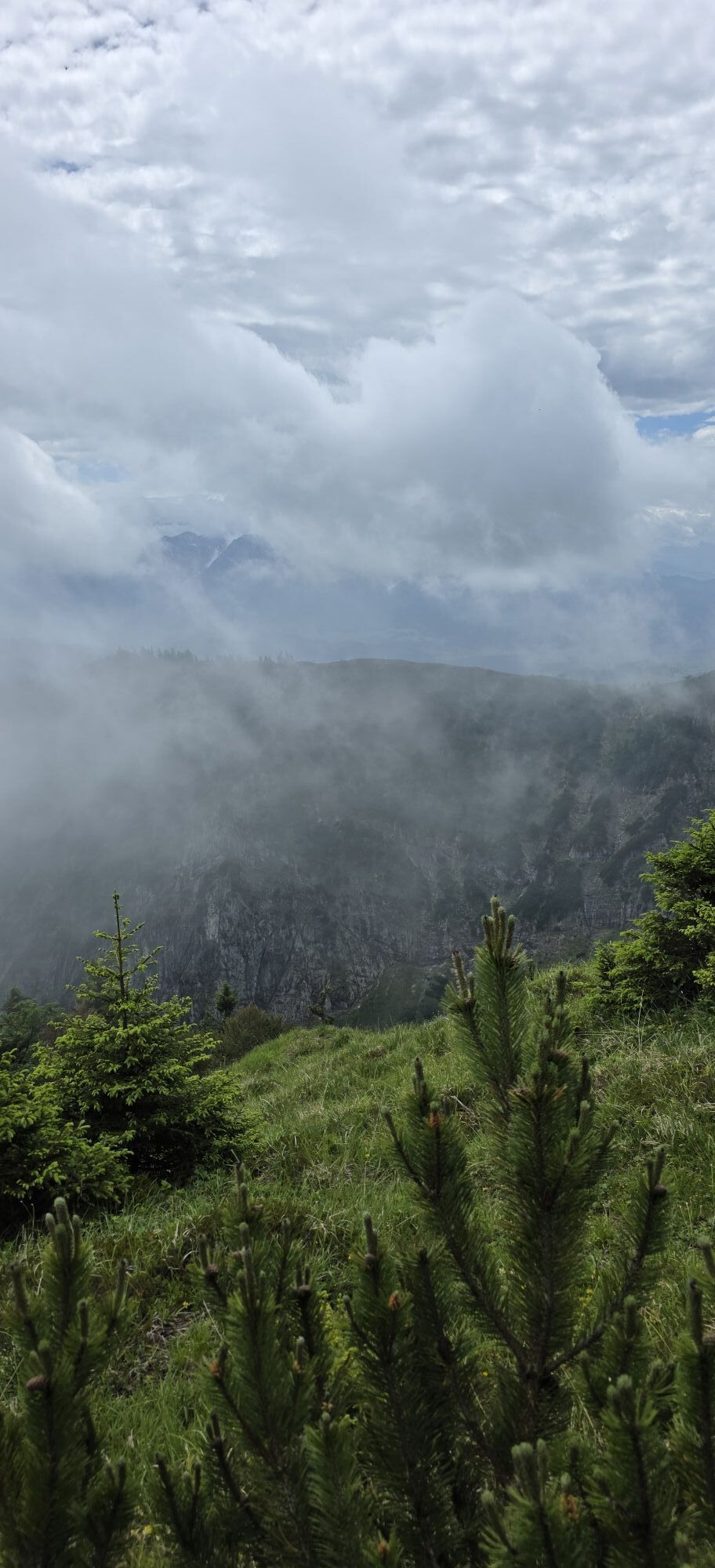
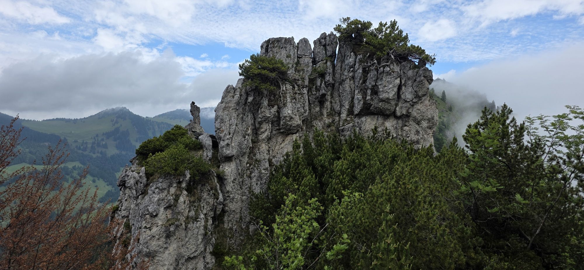
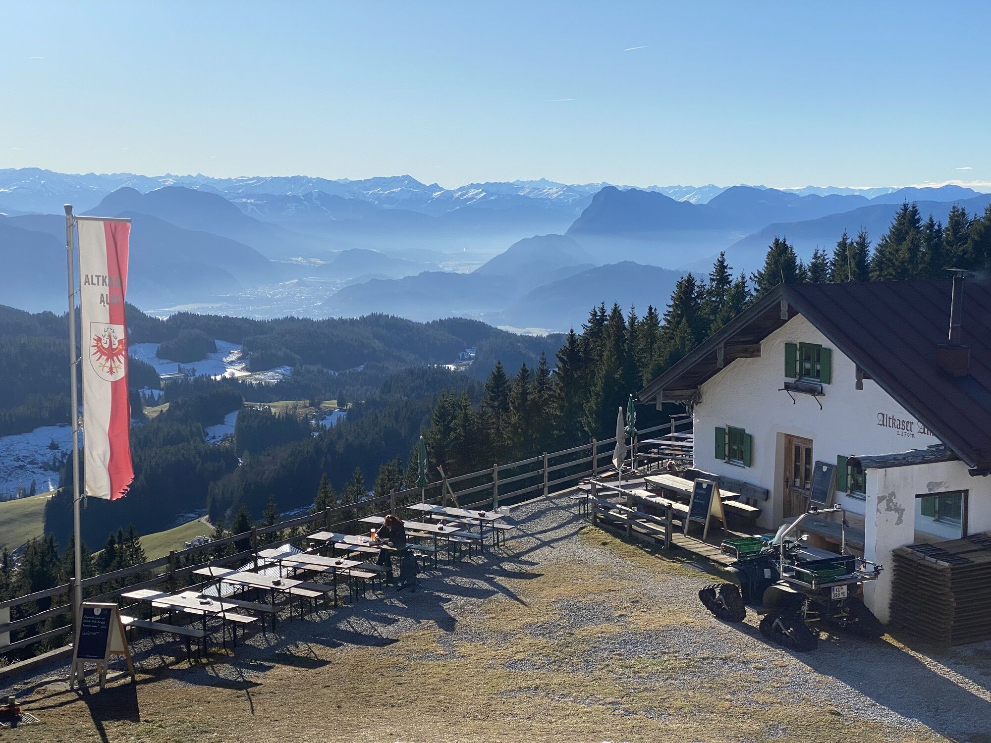
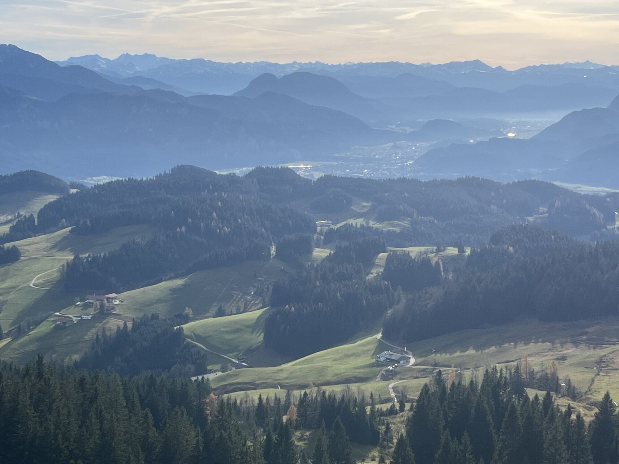
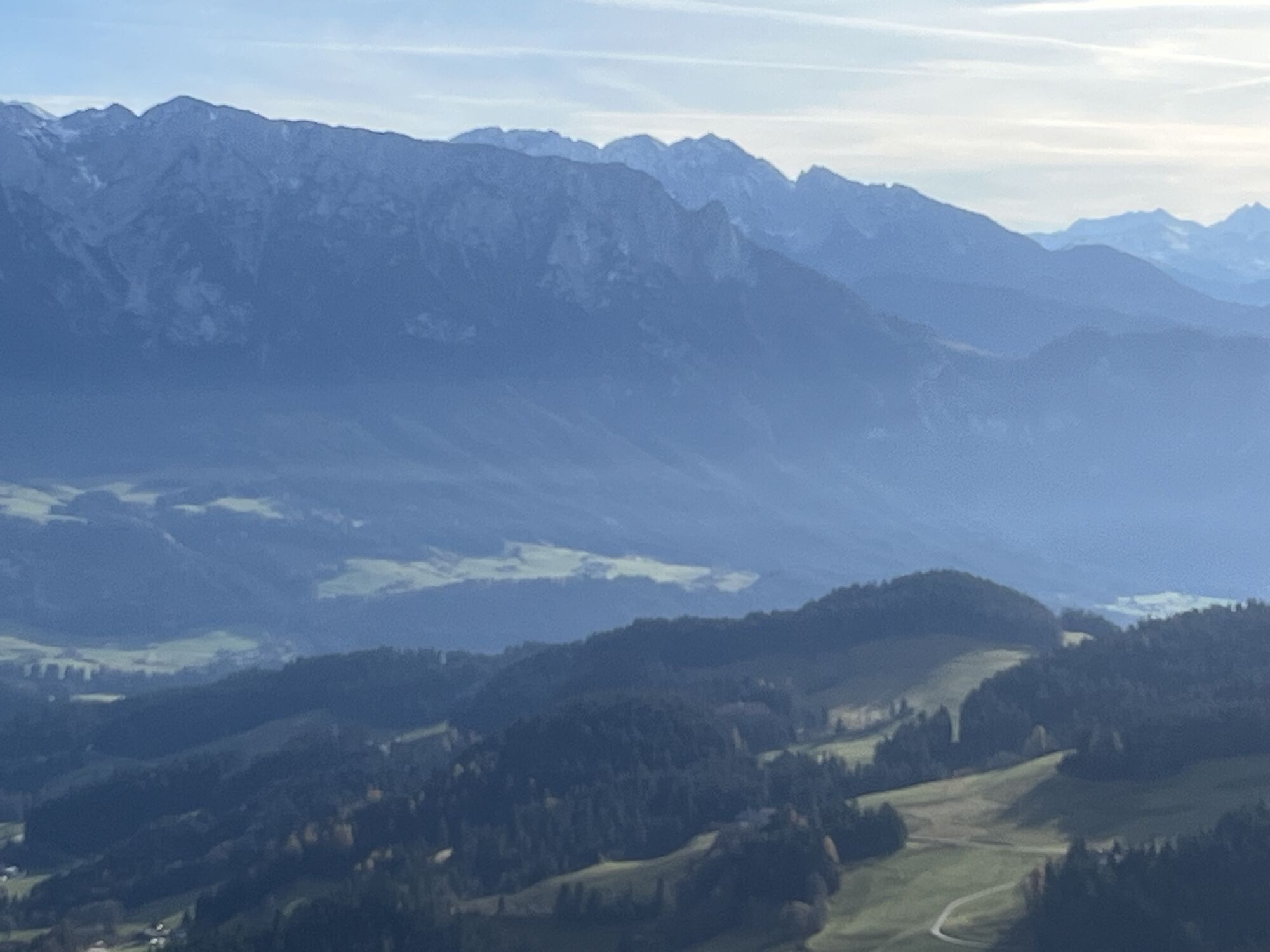
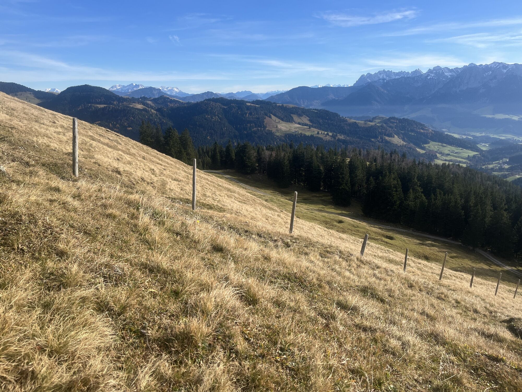
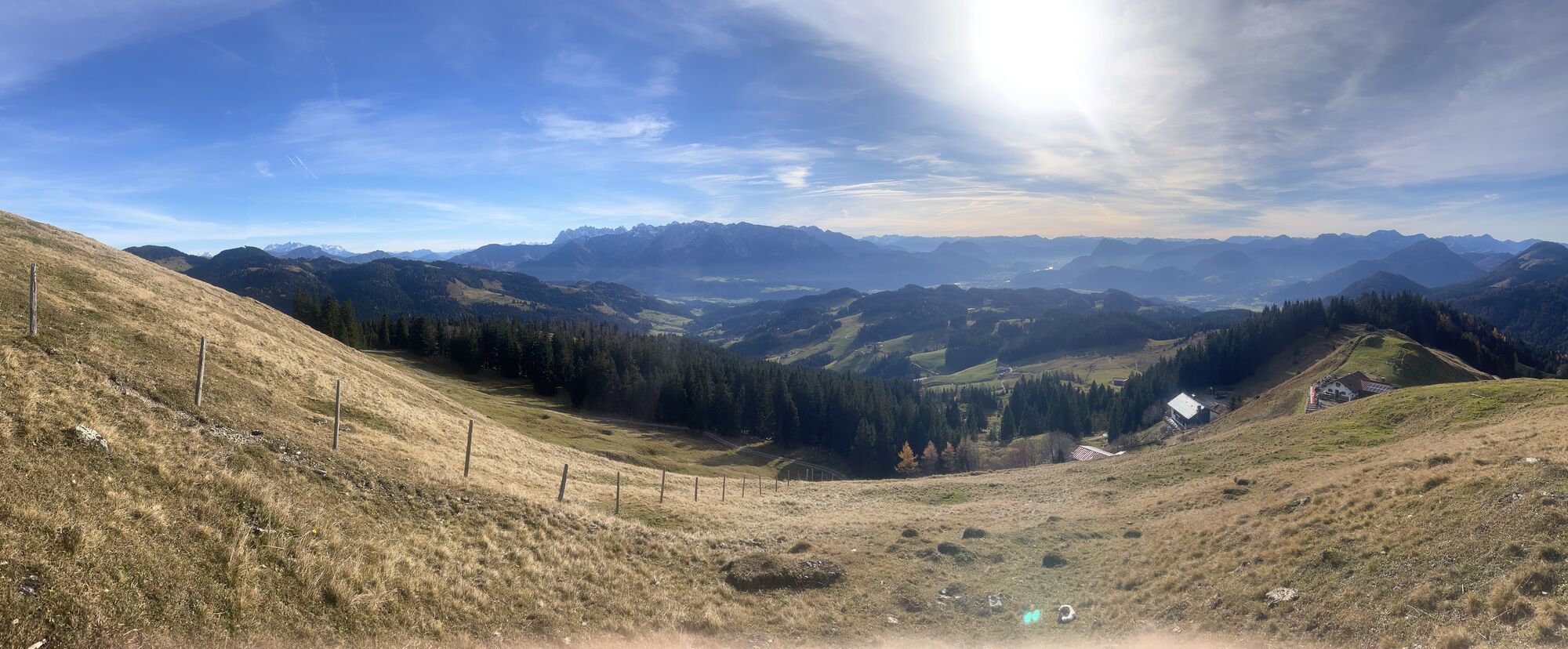
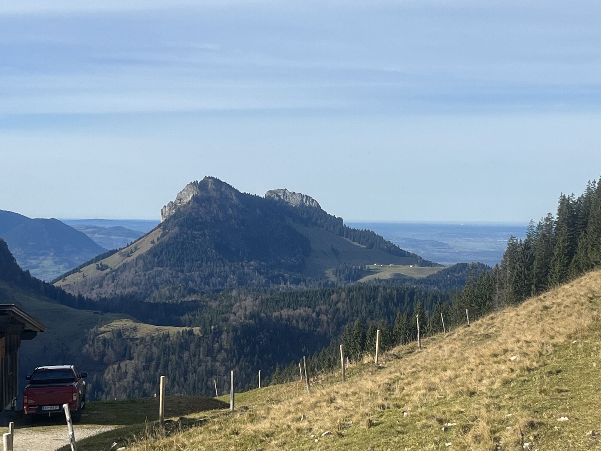
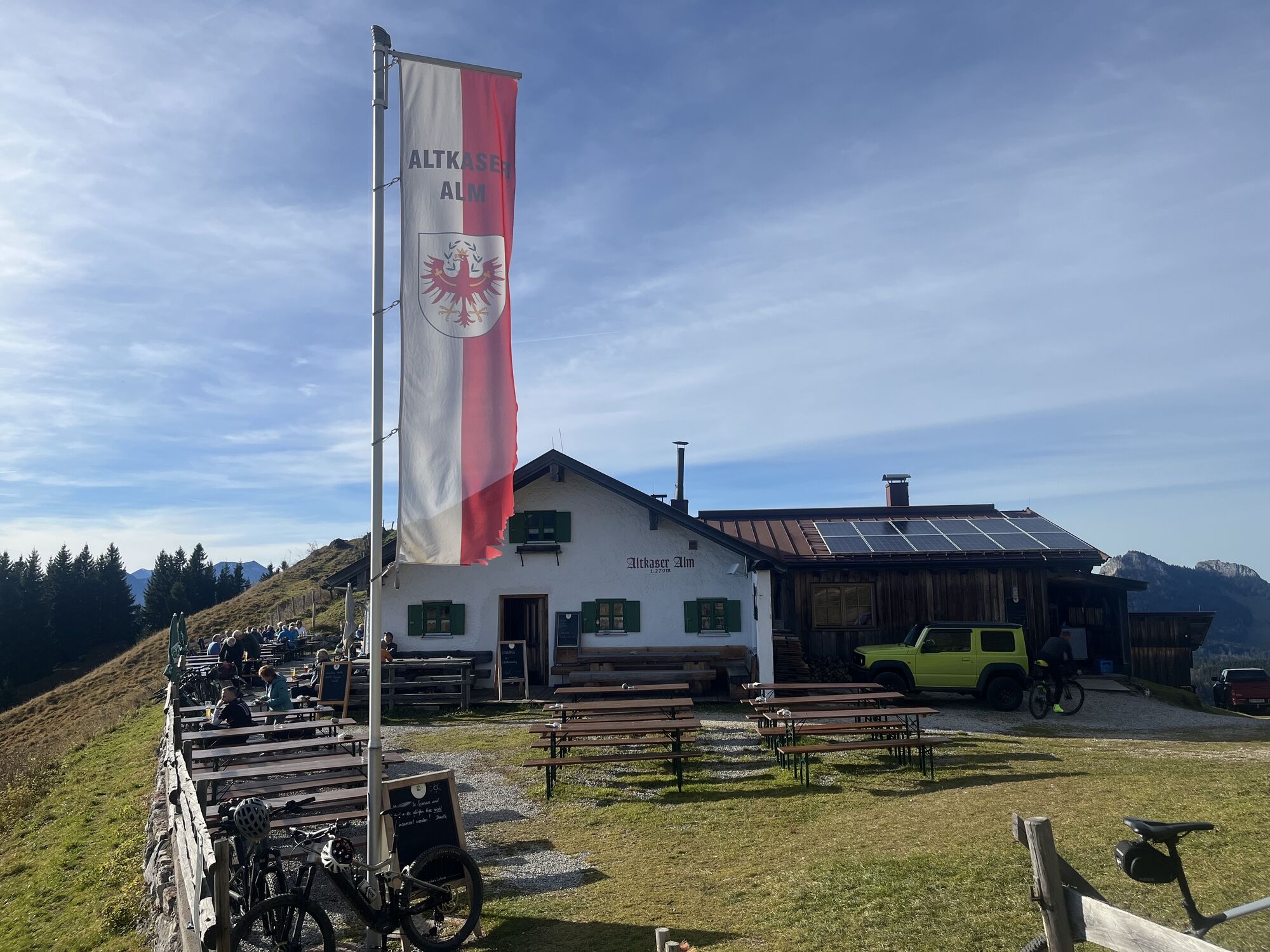
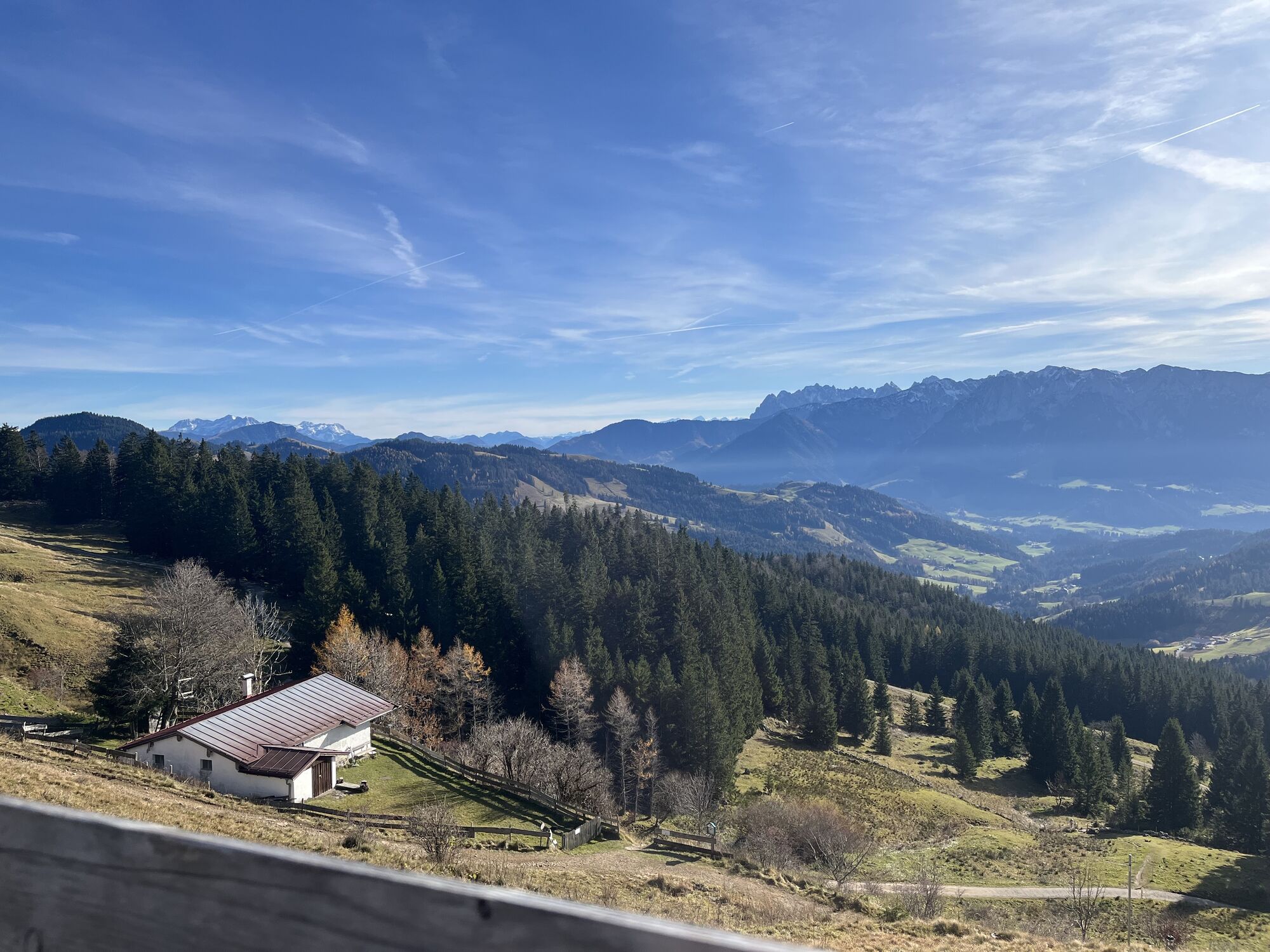
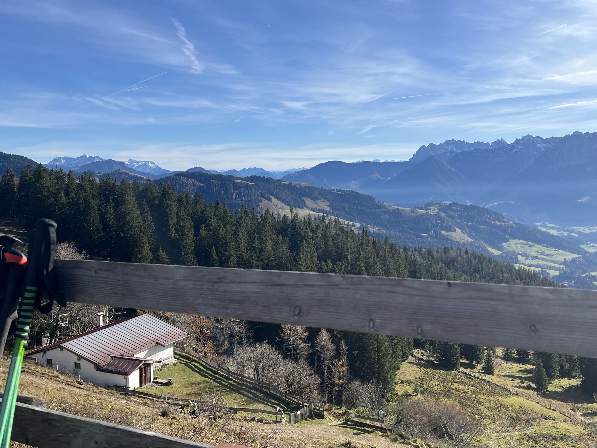
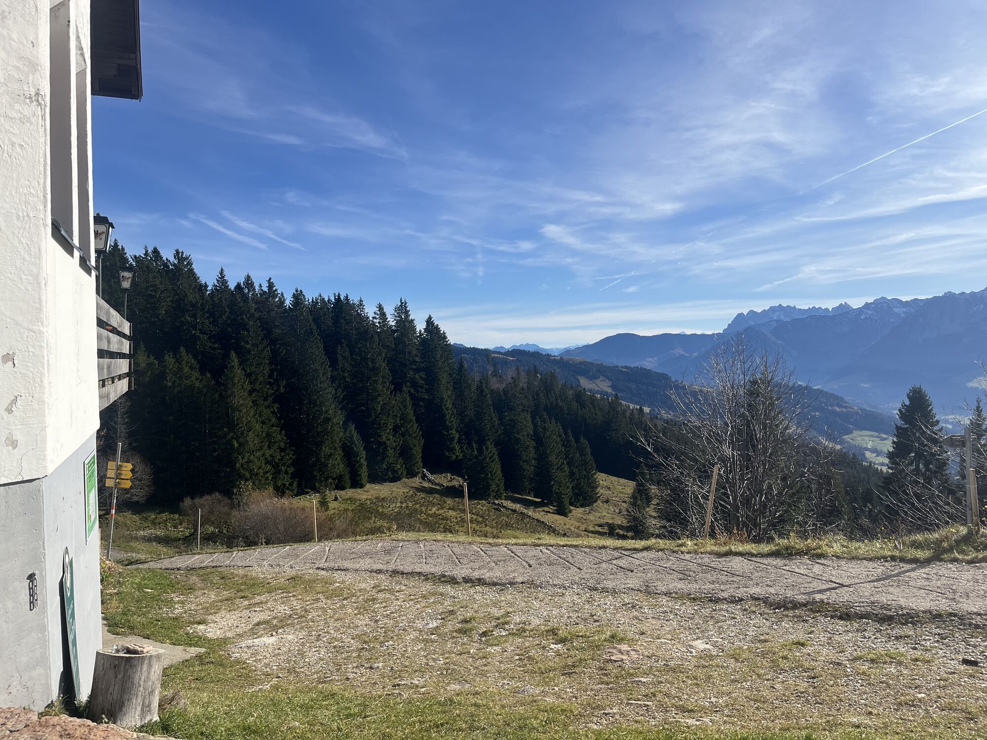
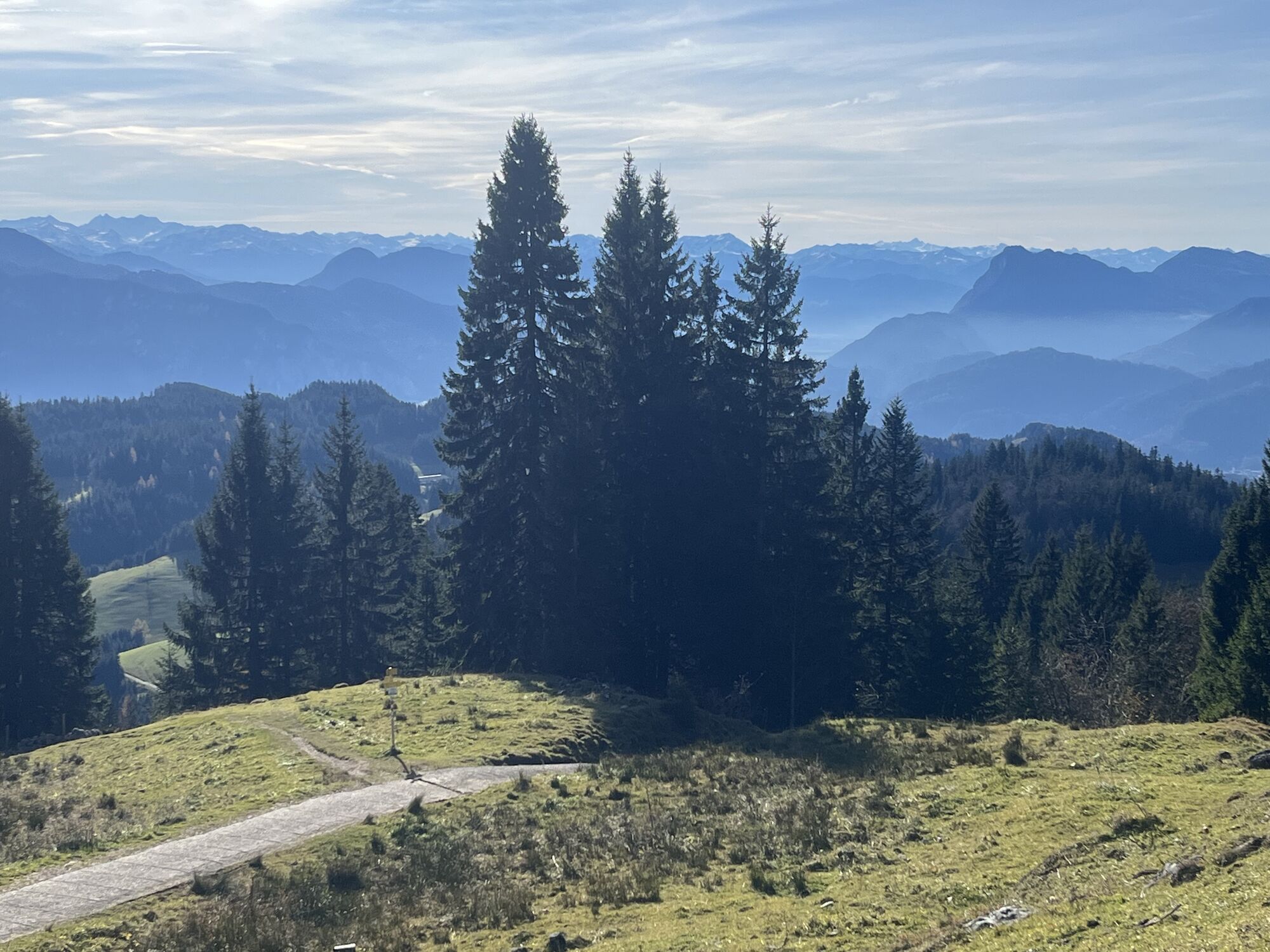
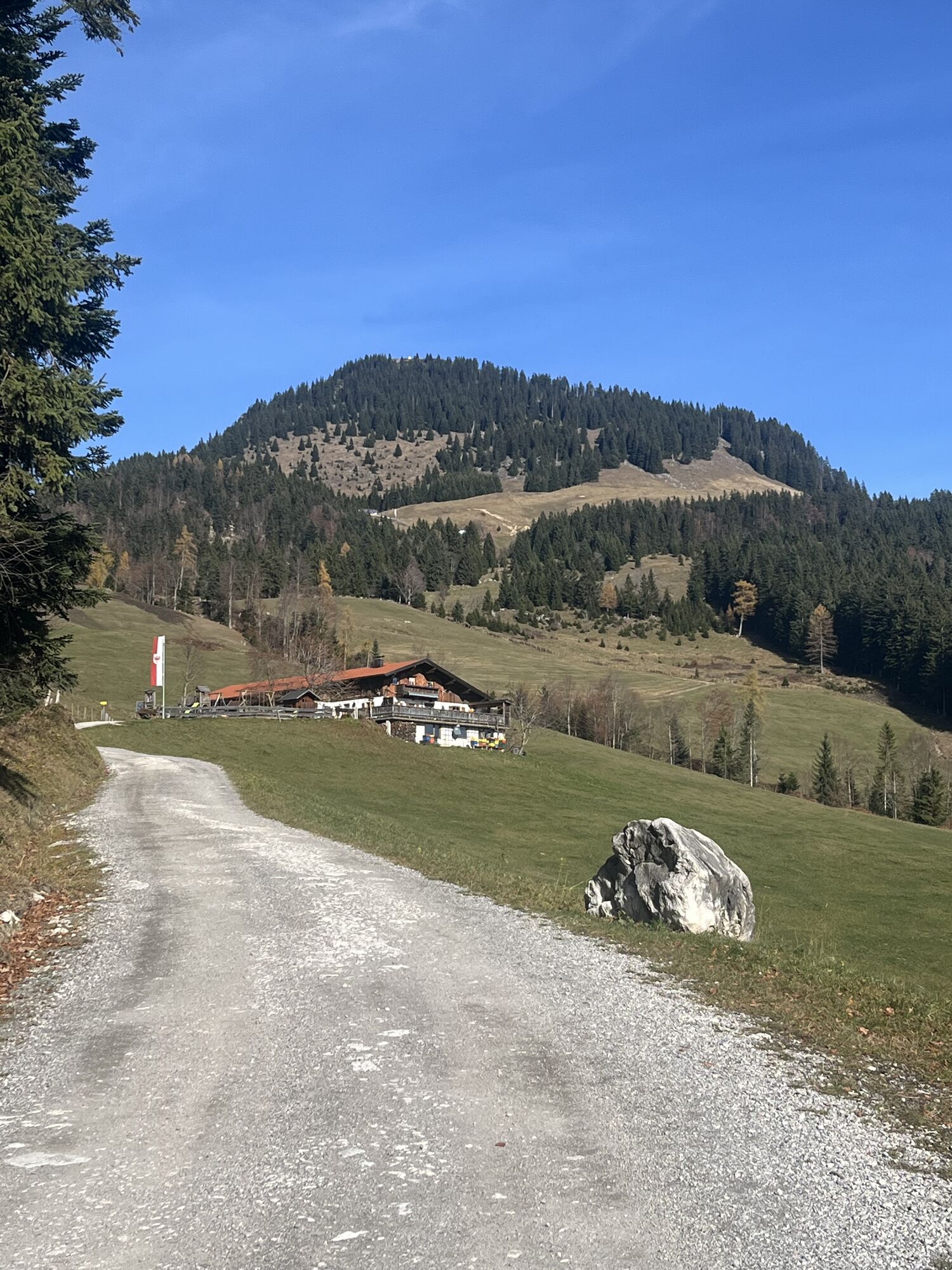
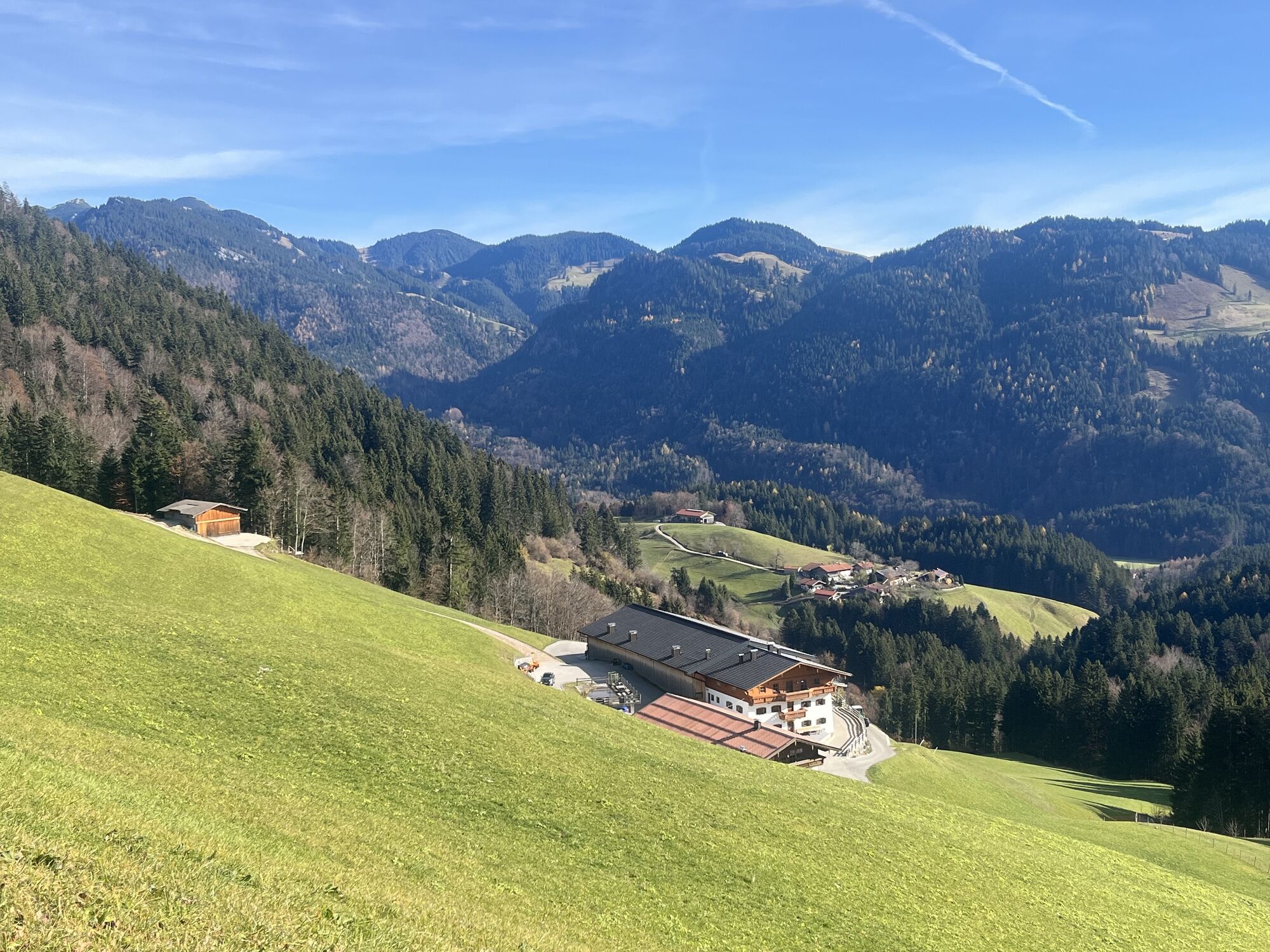
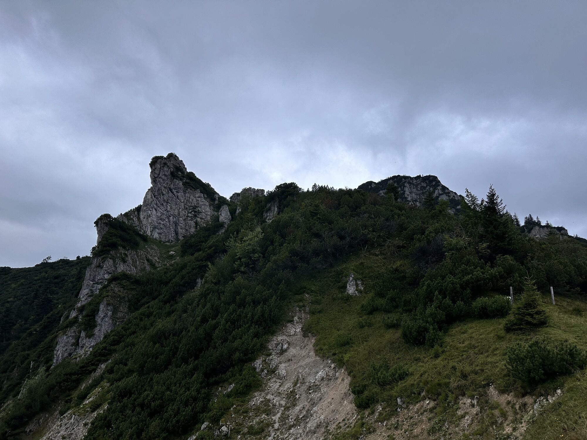
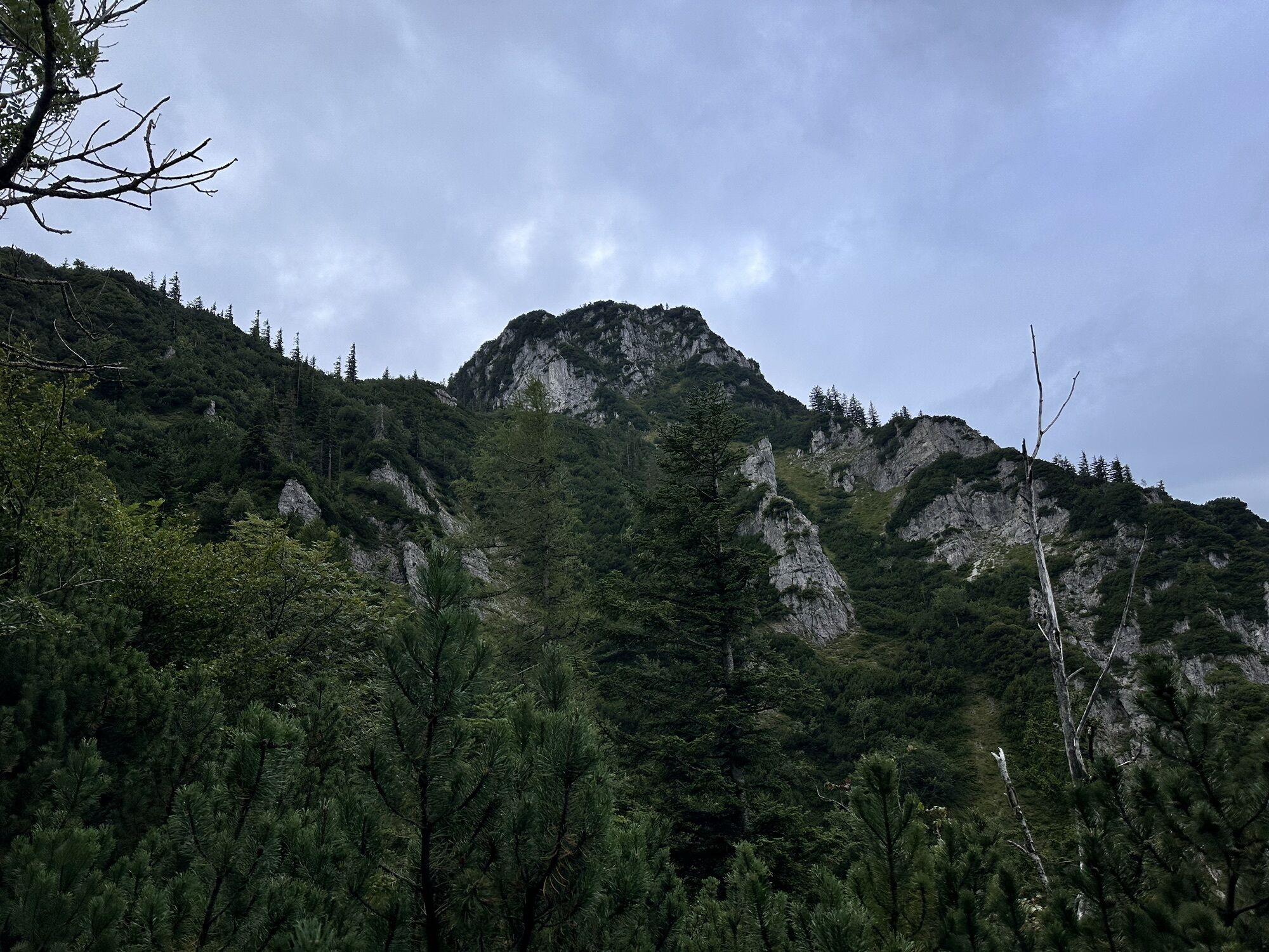
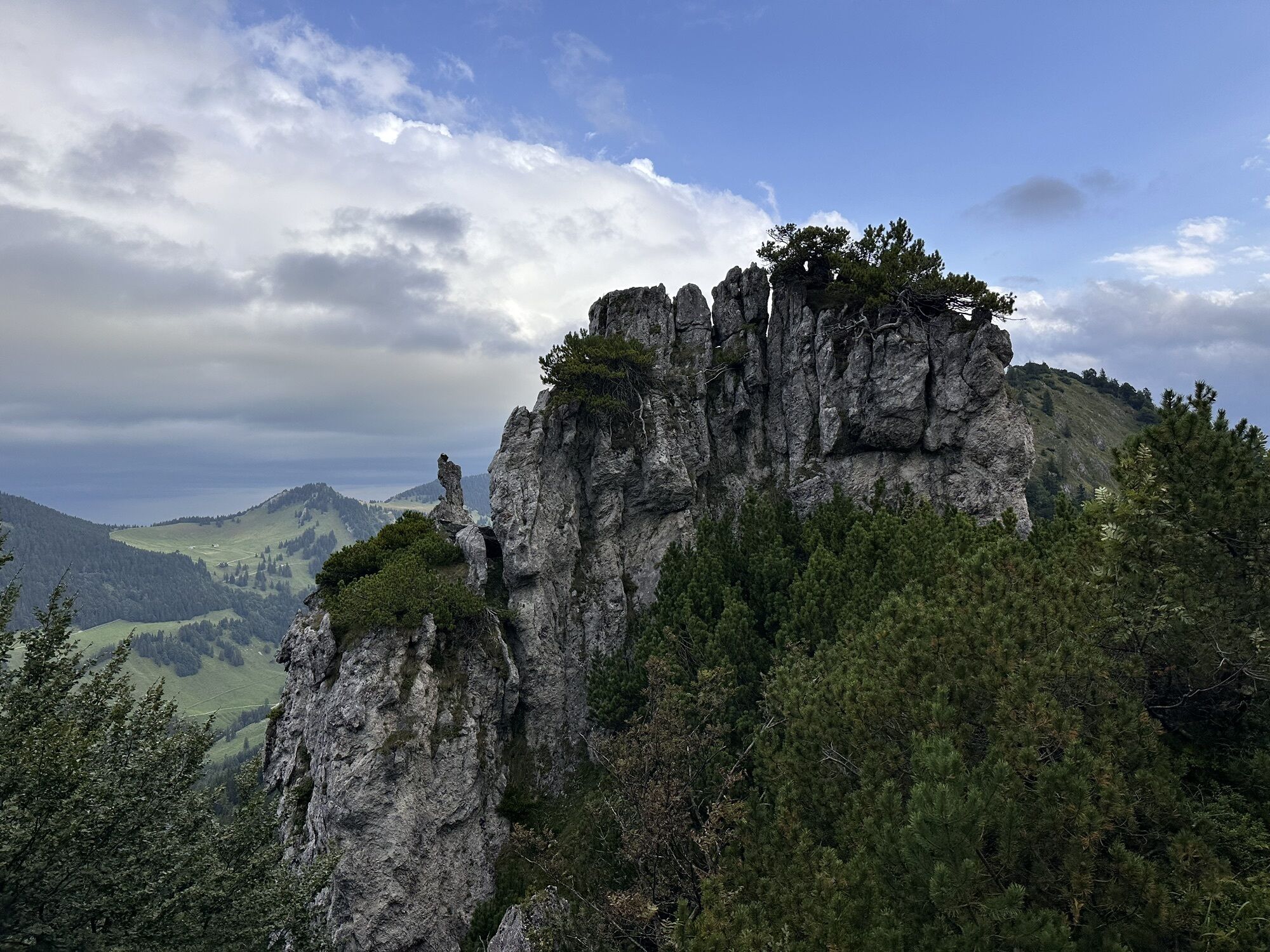
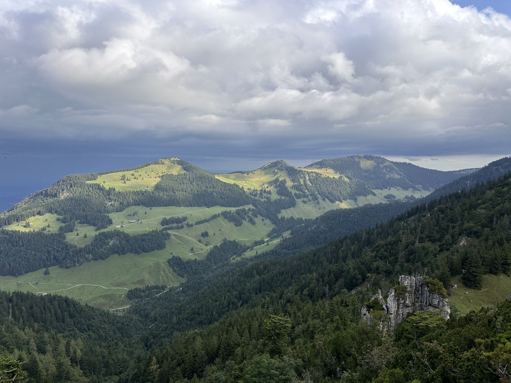
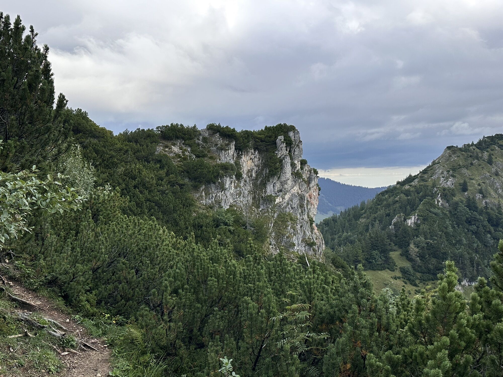
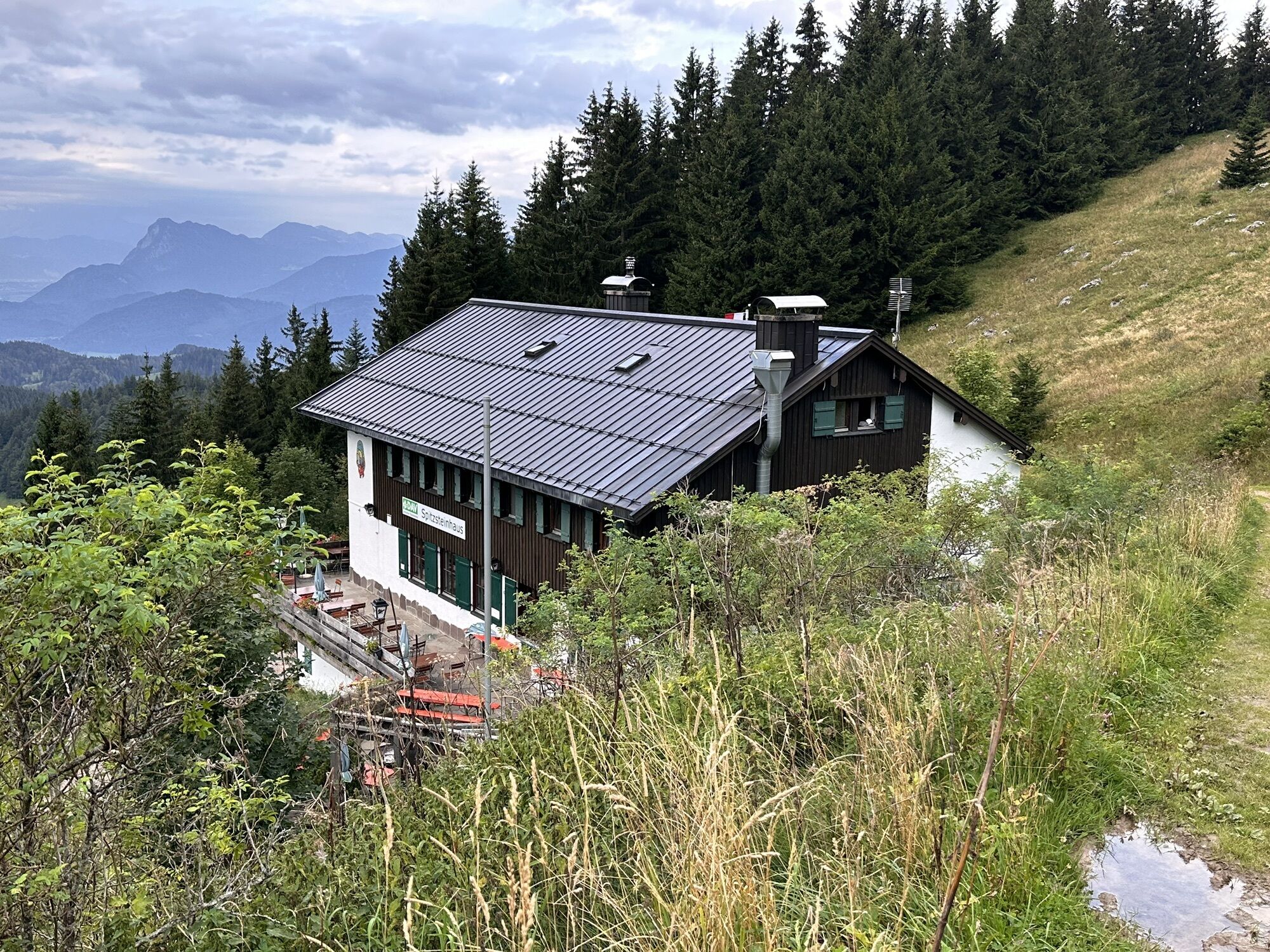
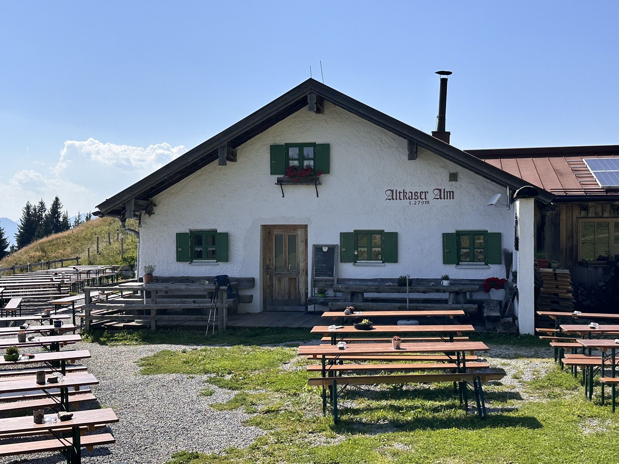
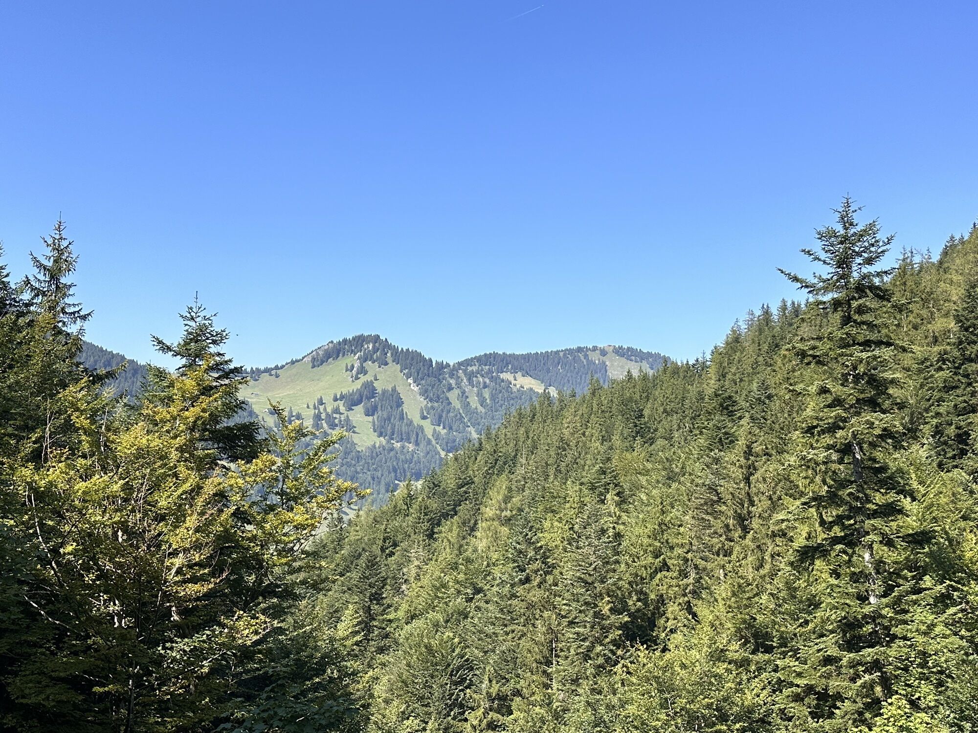
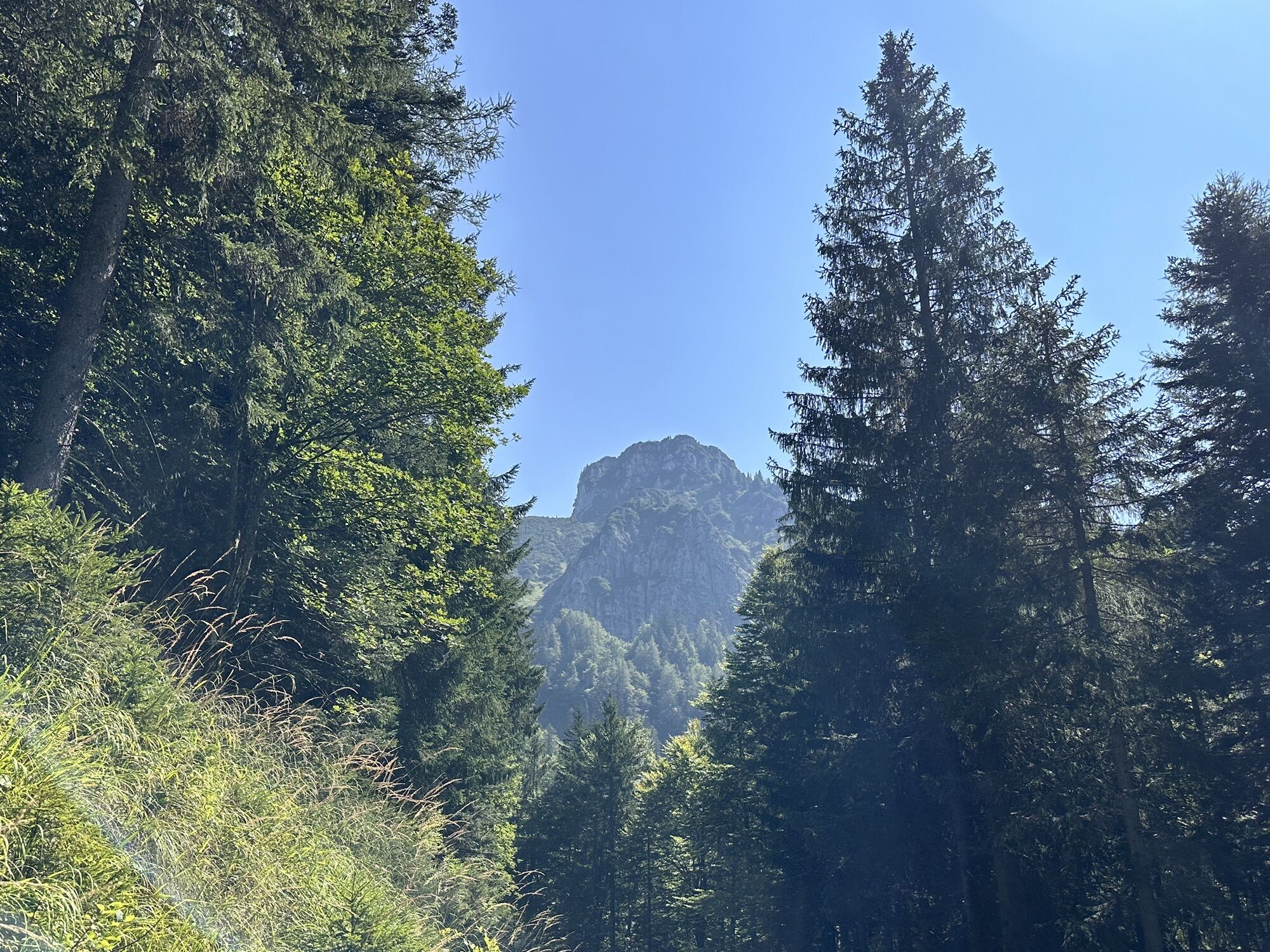
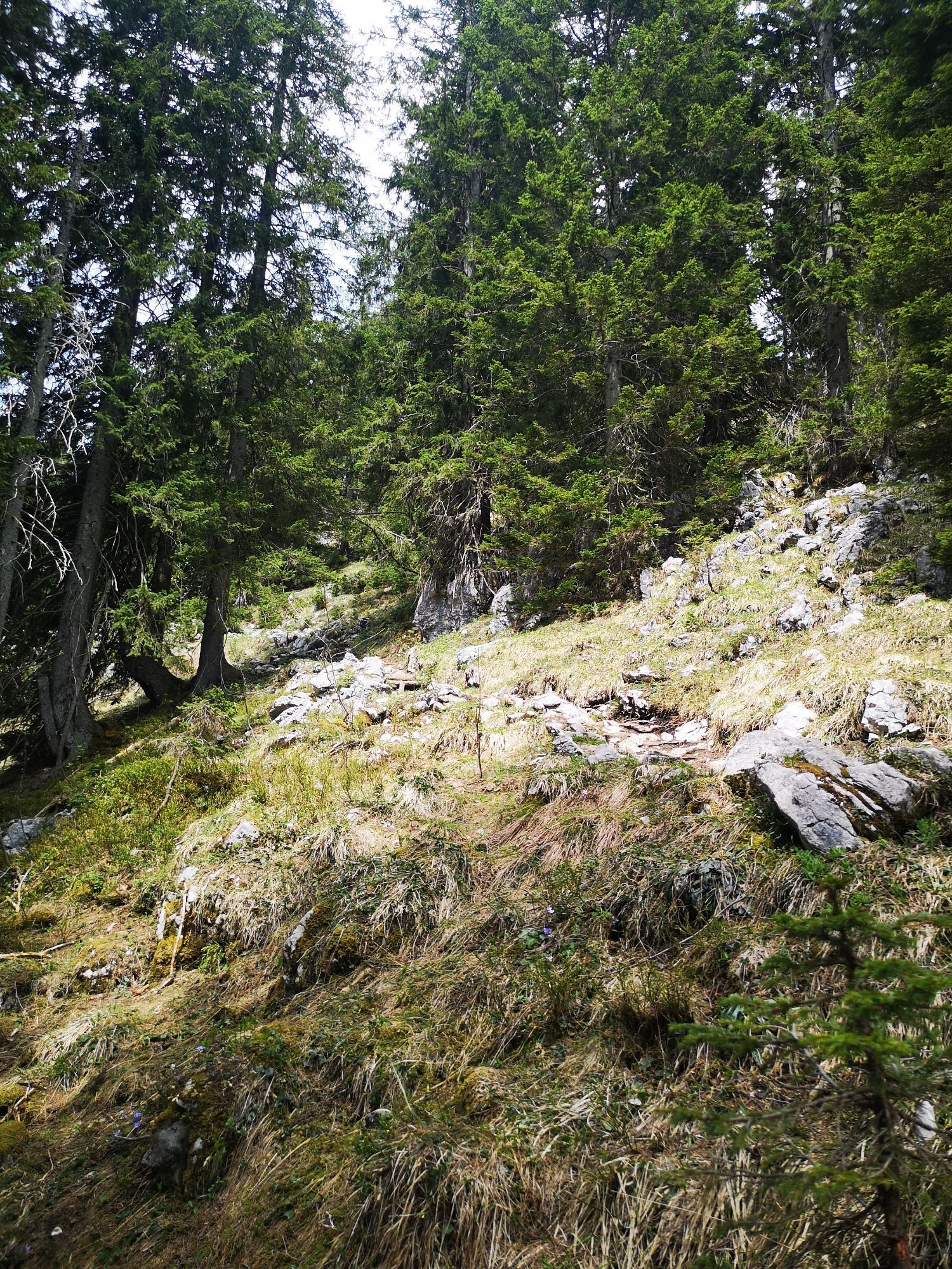
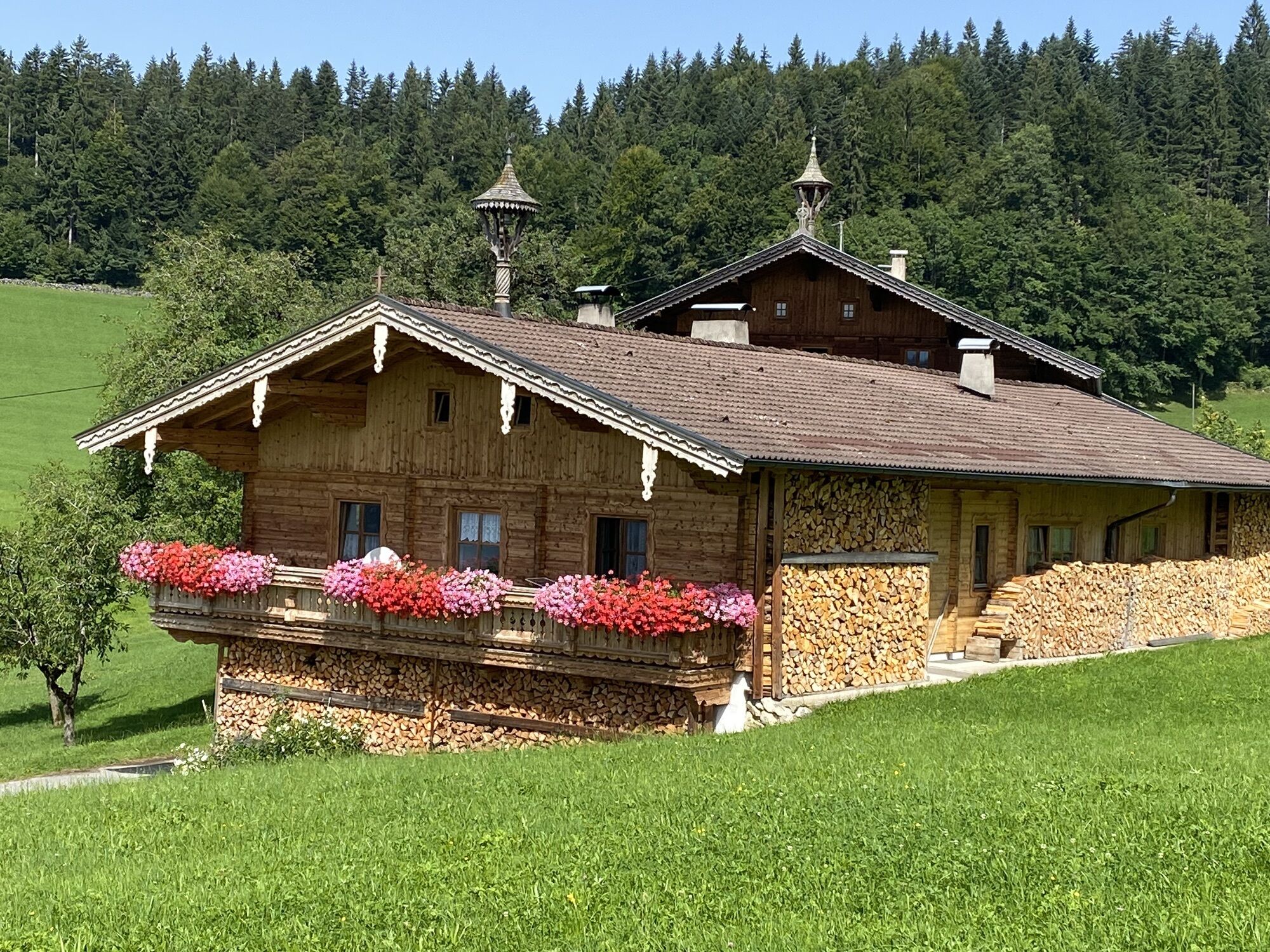
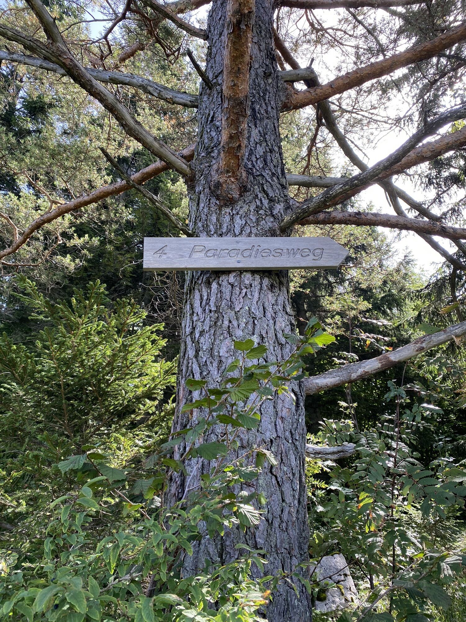
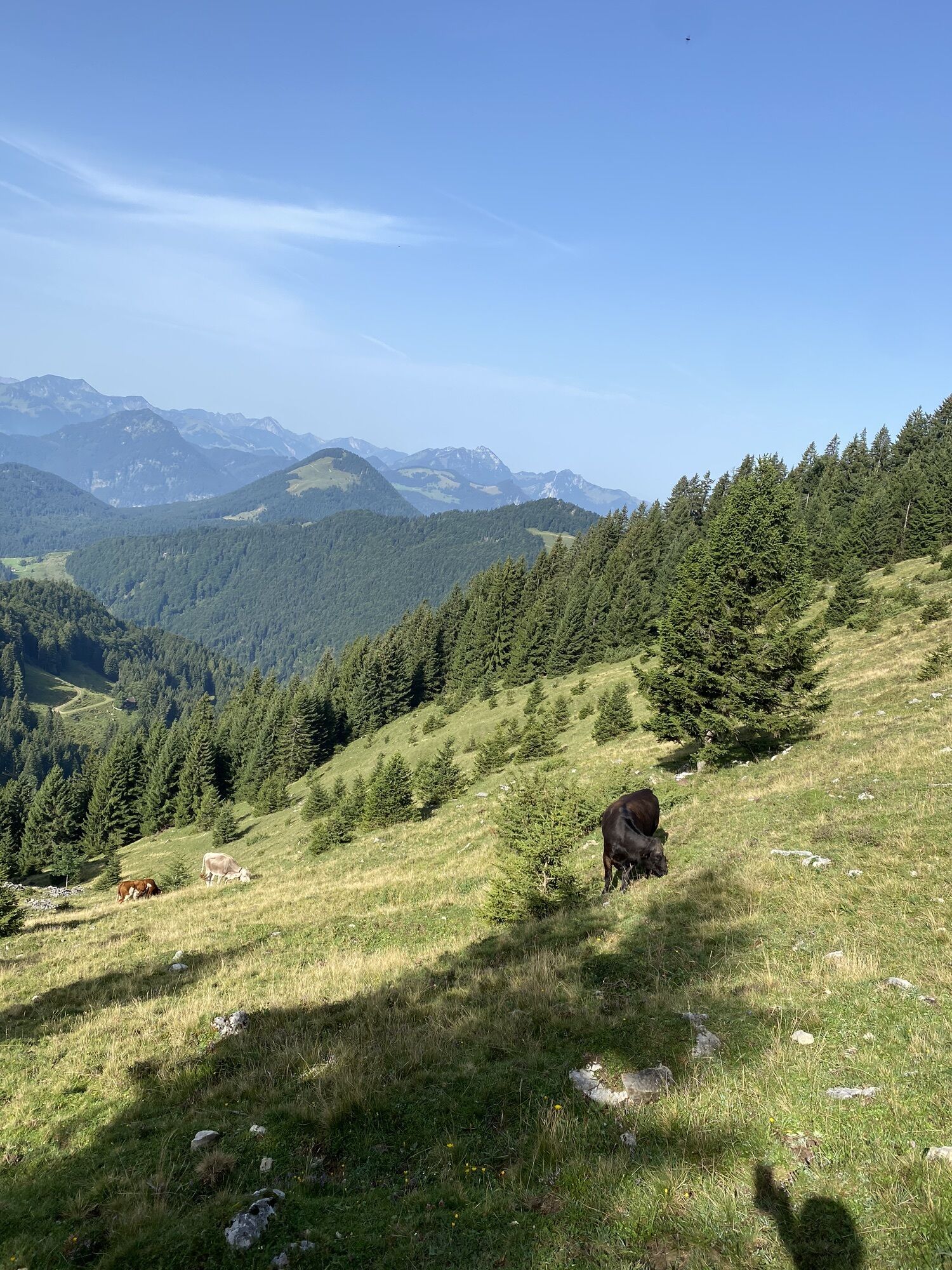
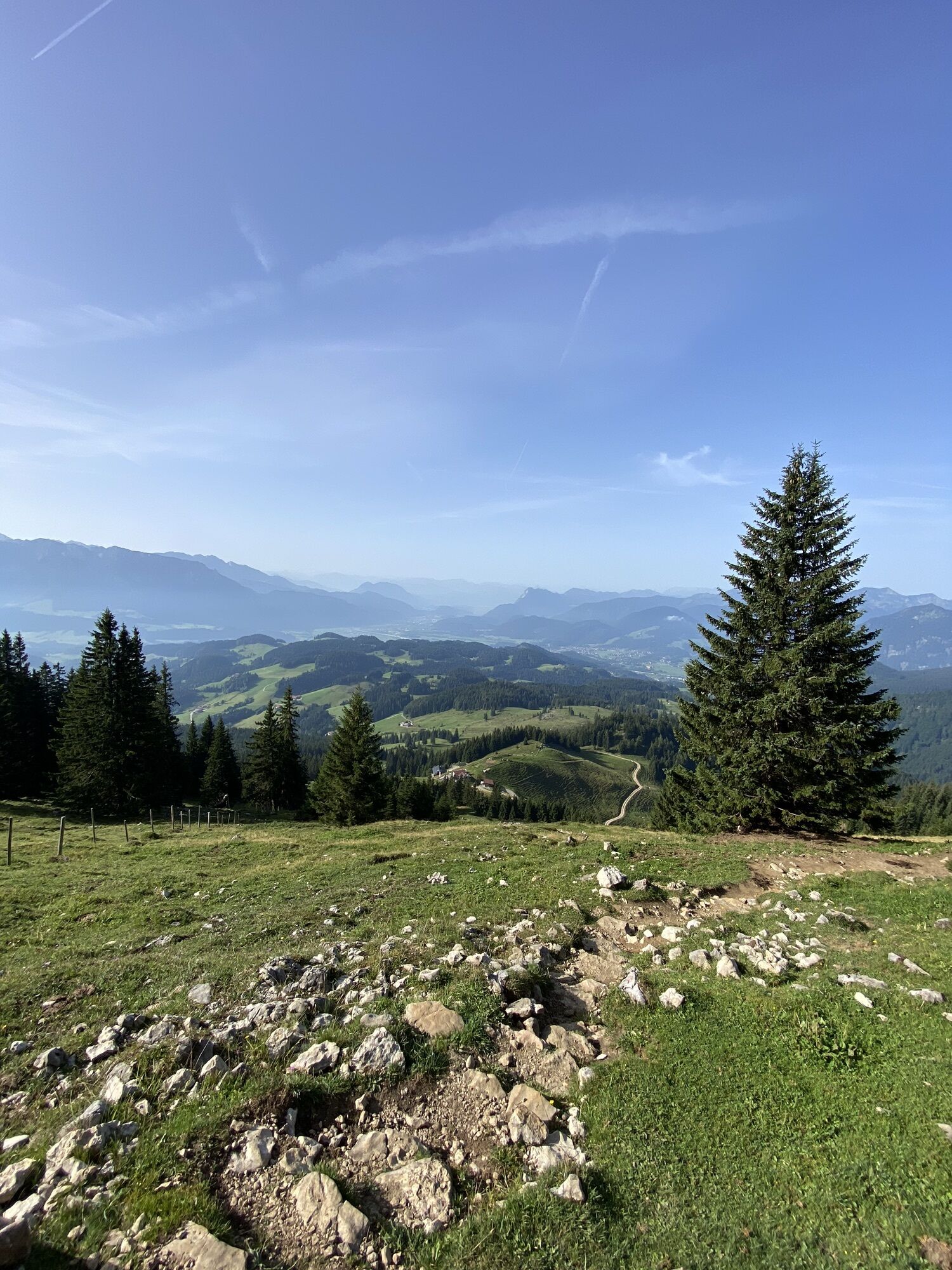
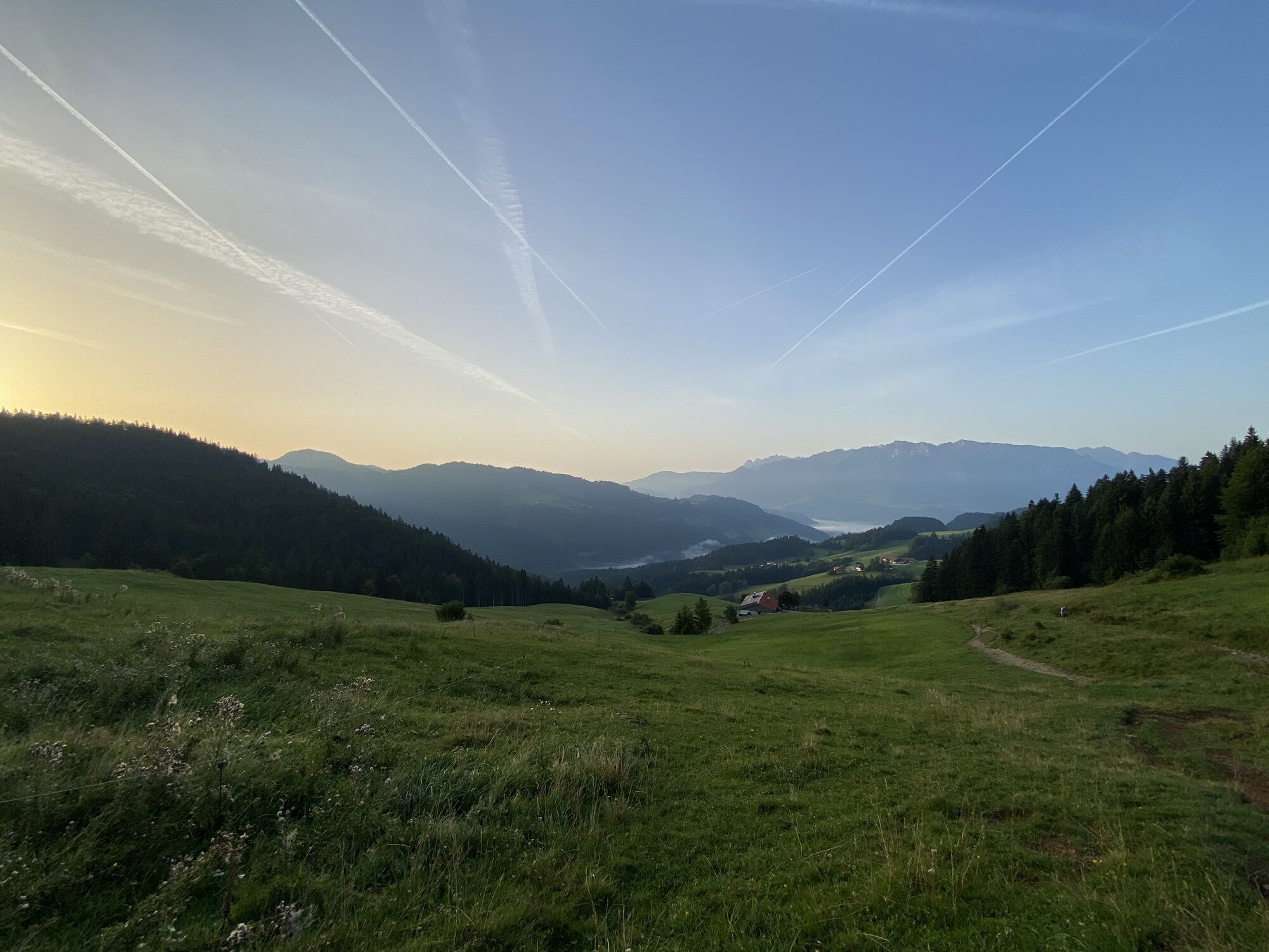
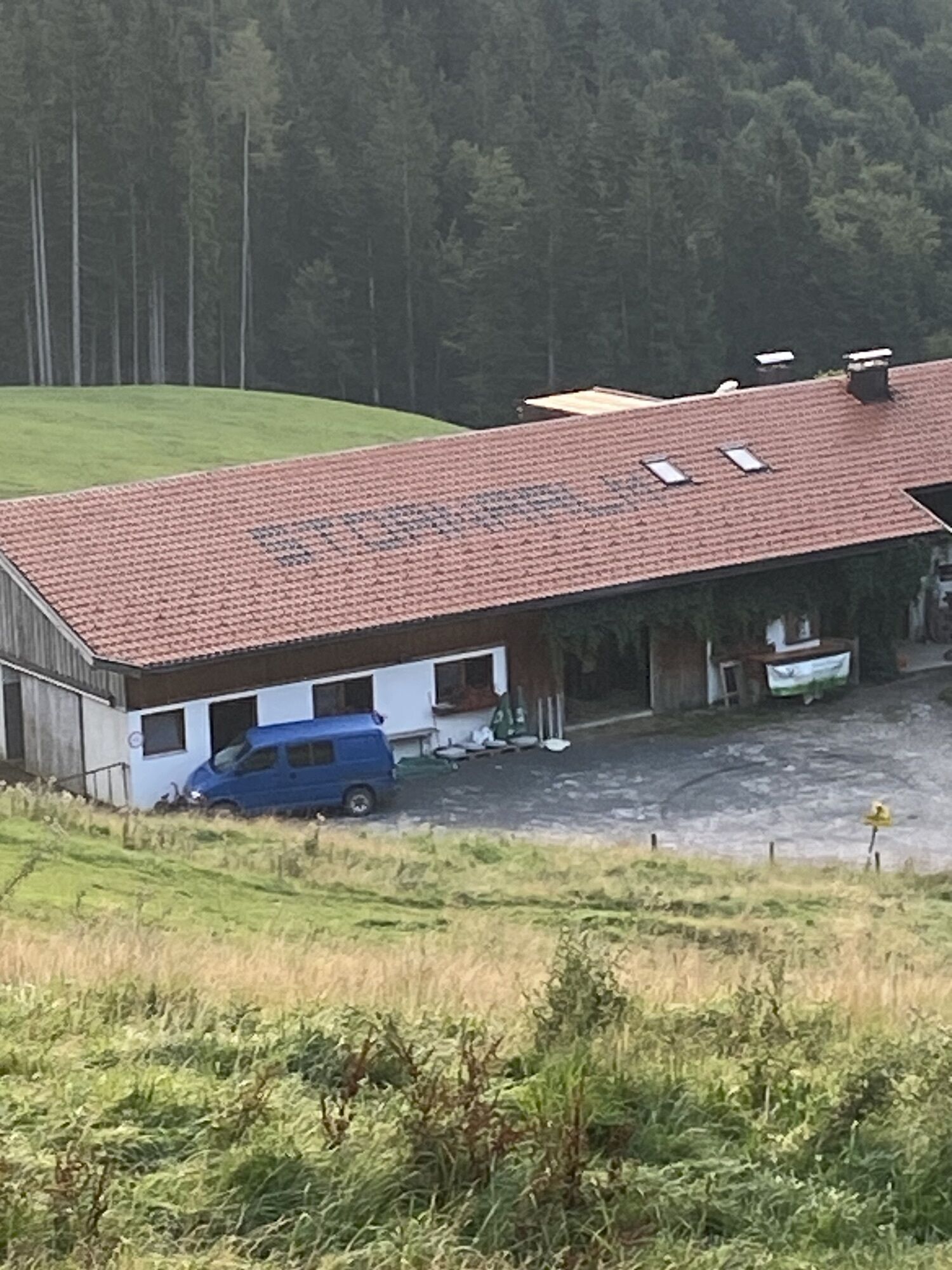
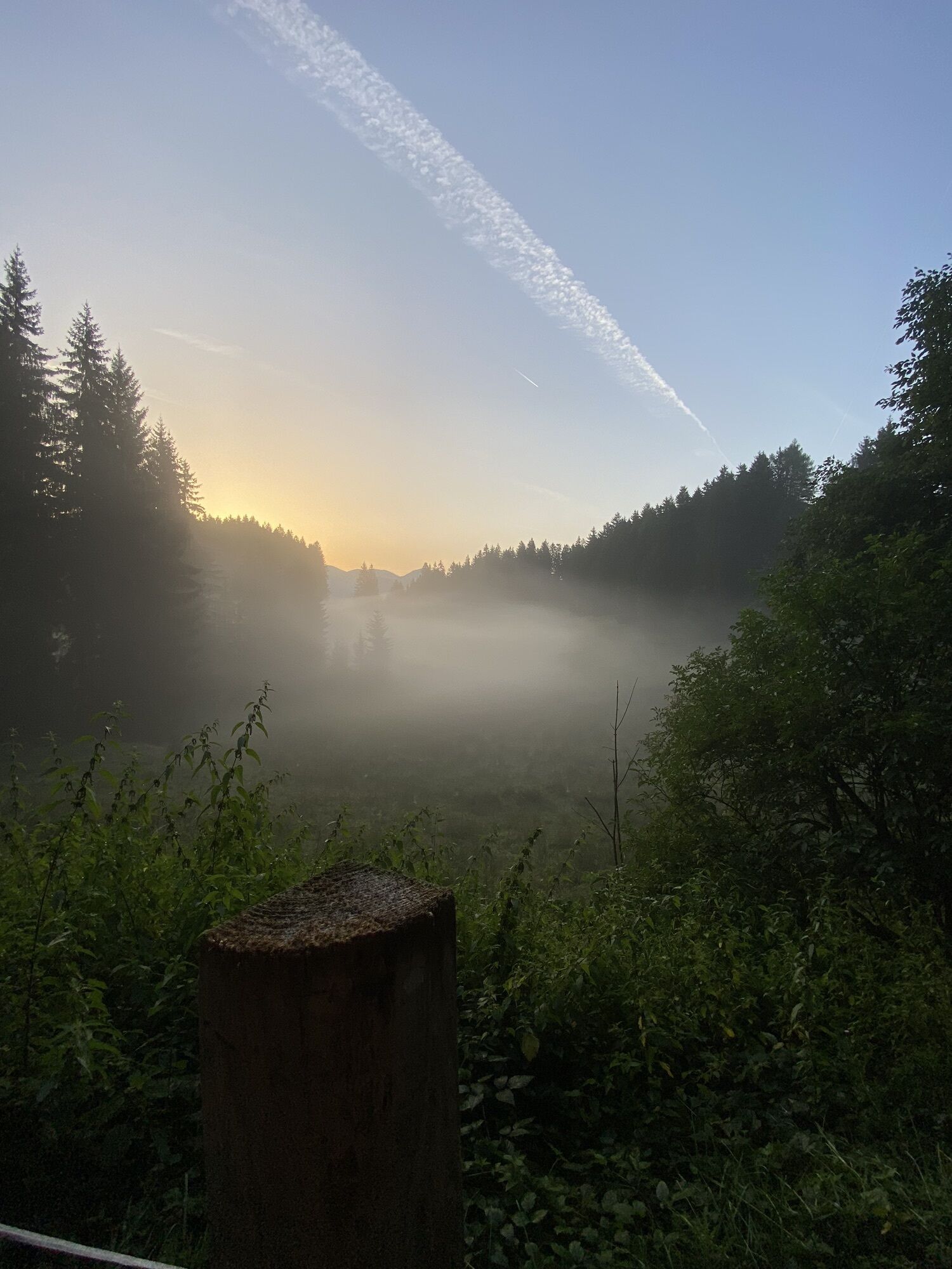
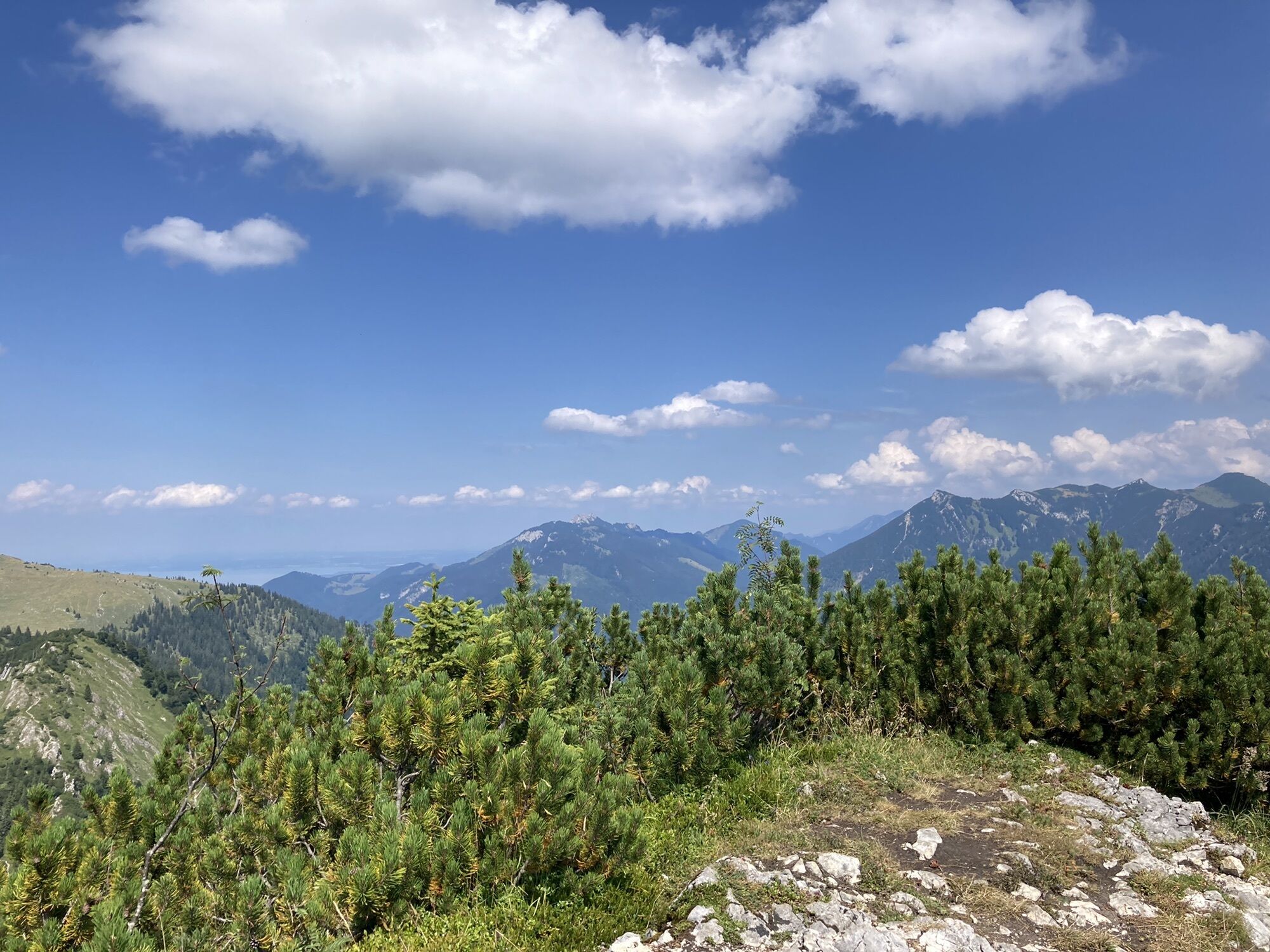
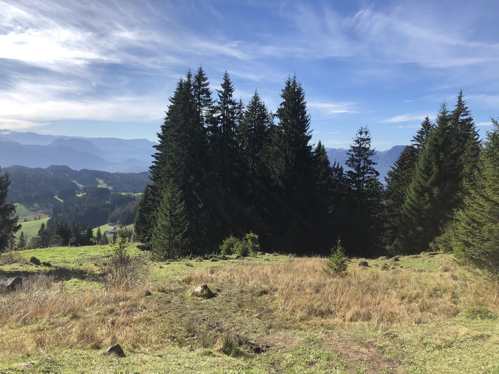
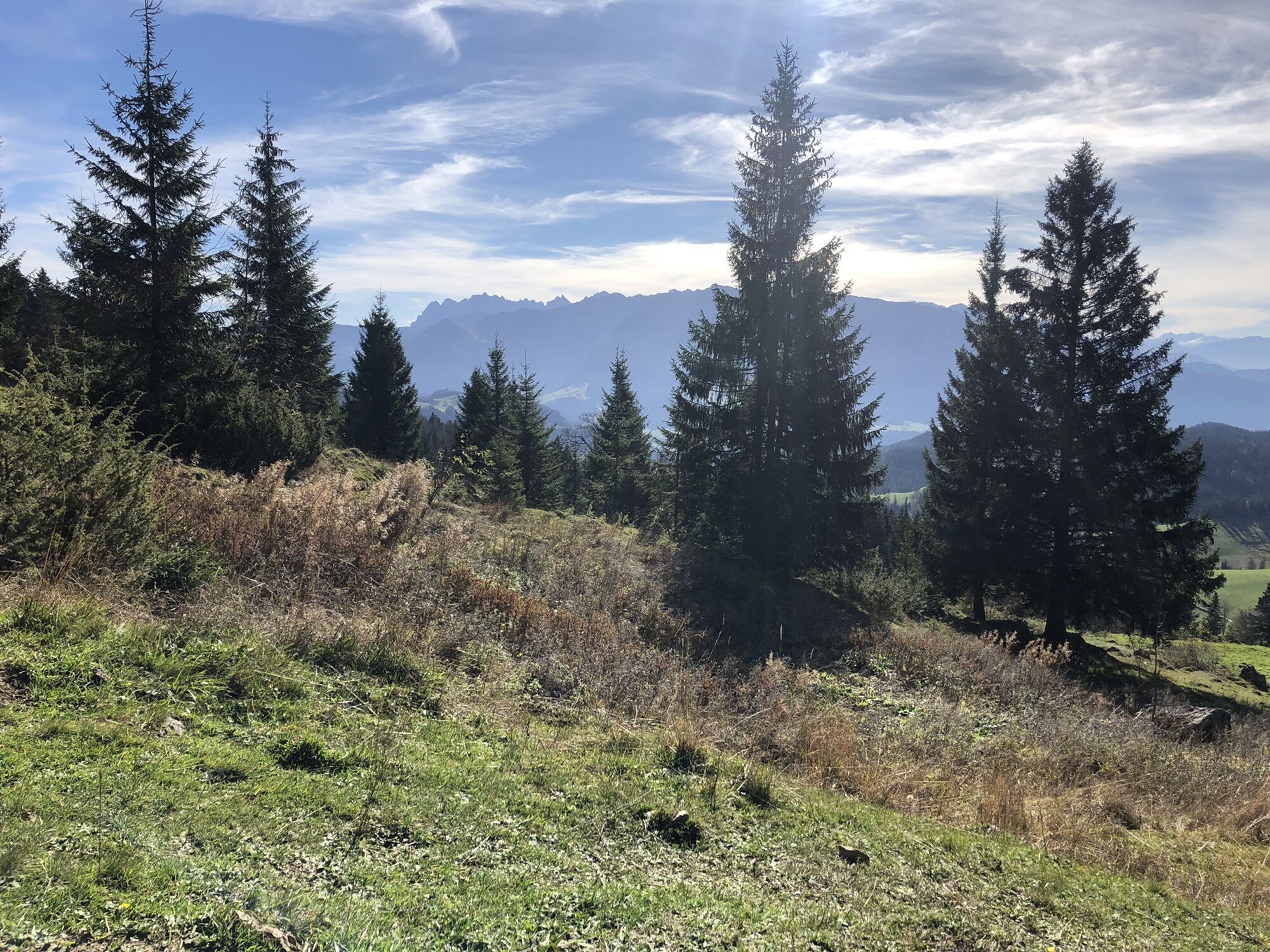
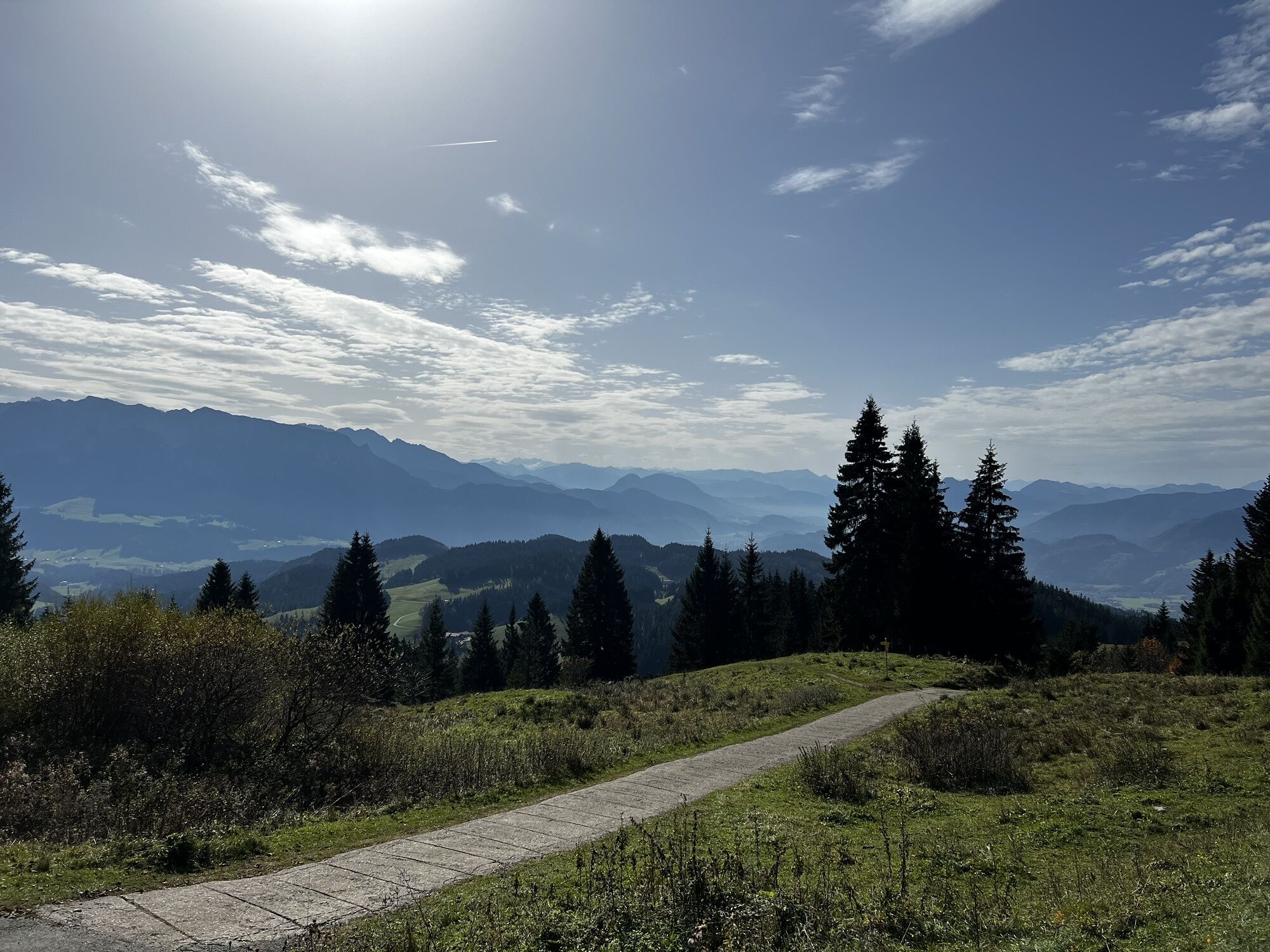
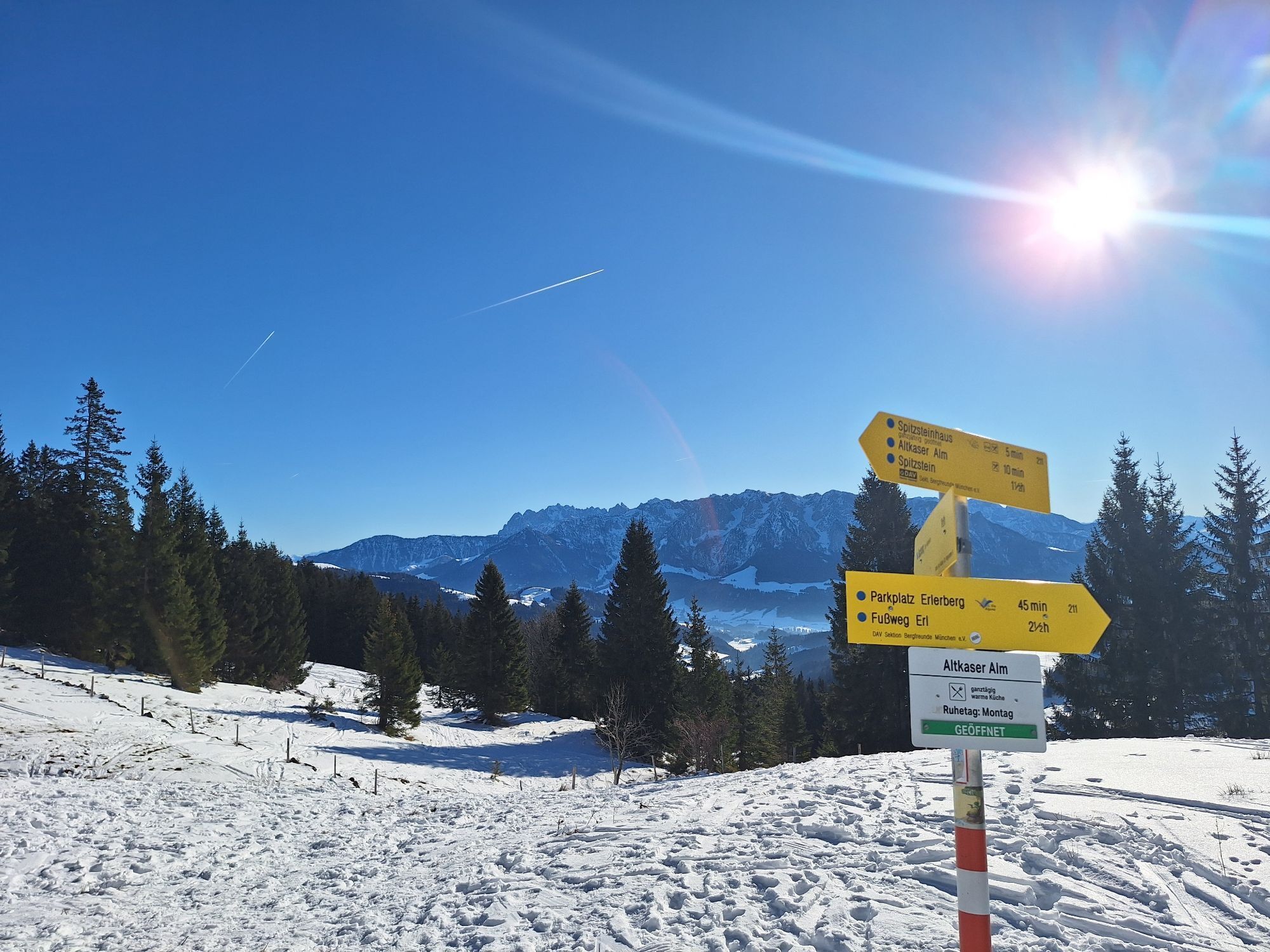
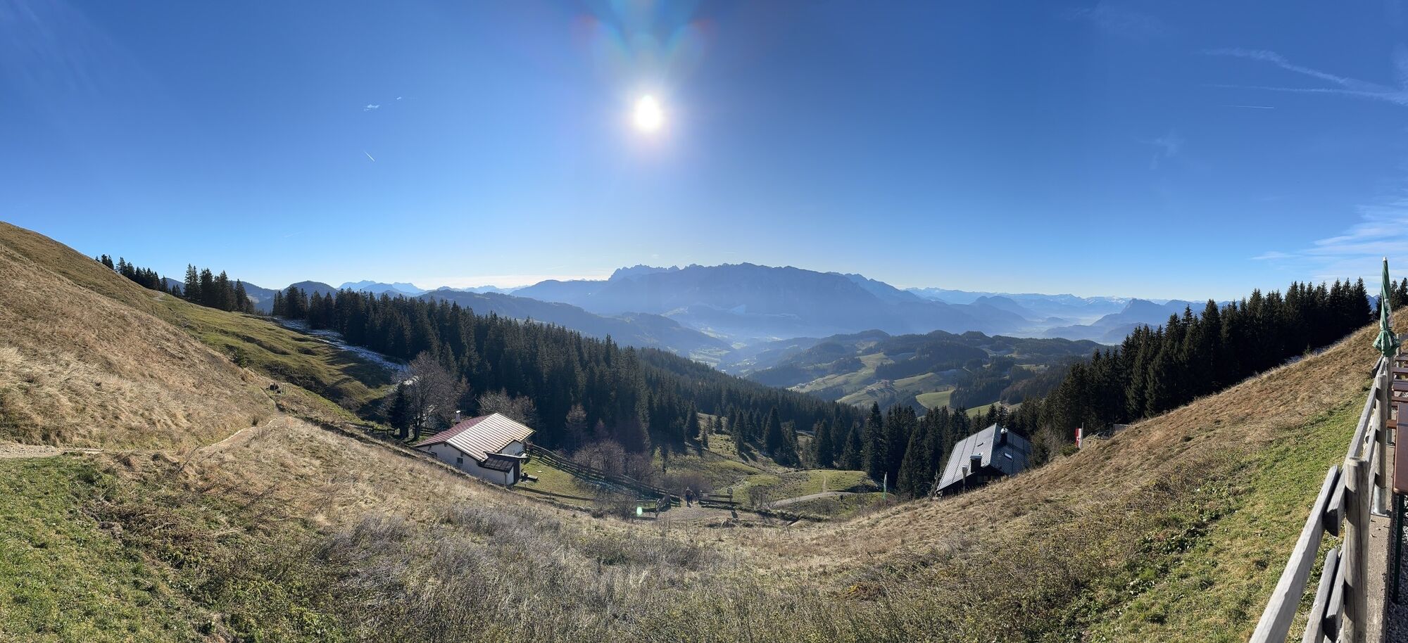
Starting from the Erlerberg car park, this tour offers wonderful views of the Bavarian Alpine upland, and beautiful views down the Inn Valley. The tour leads first west past the summit and then over the...
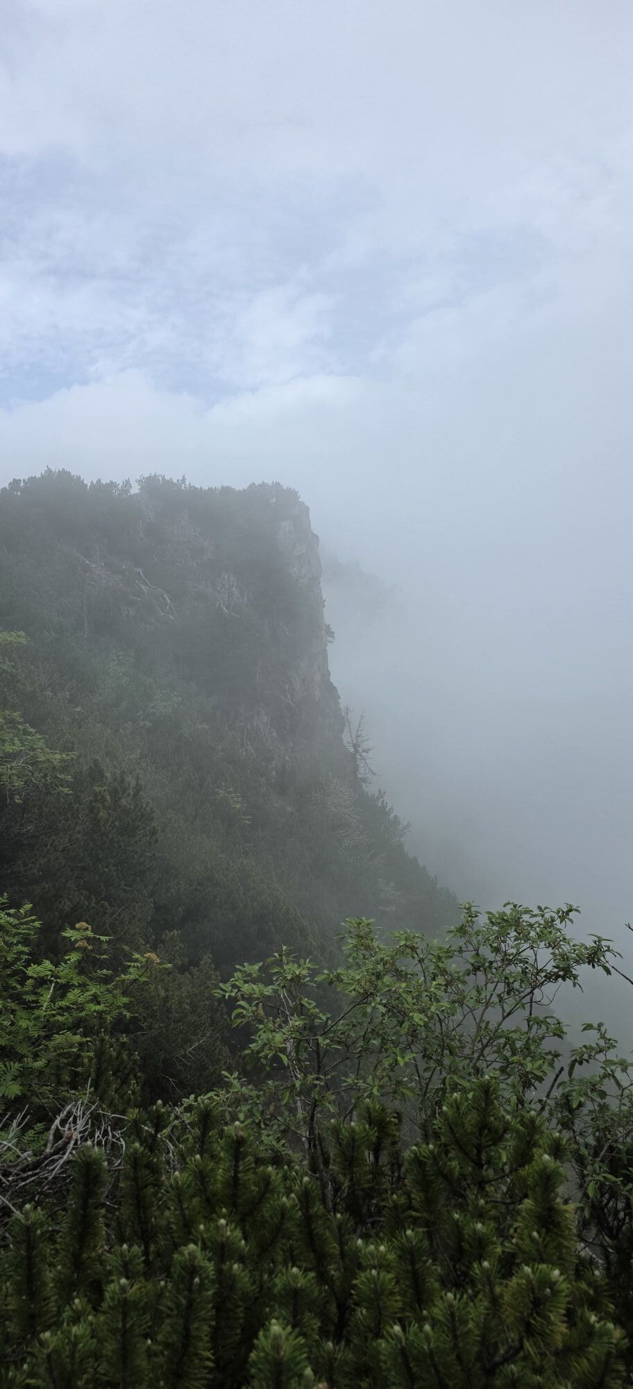
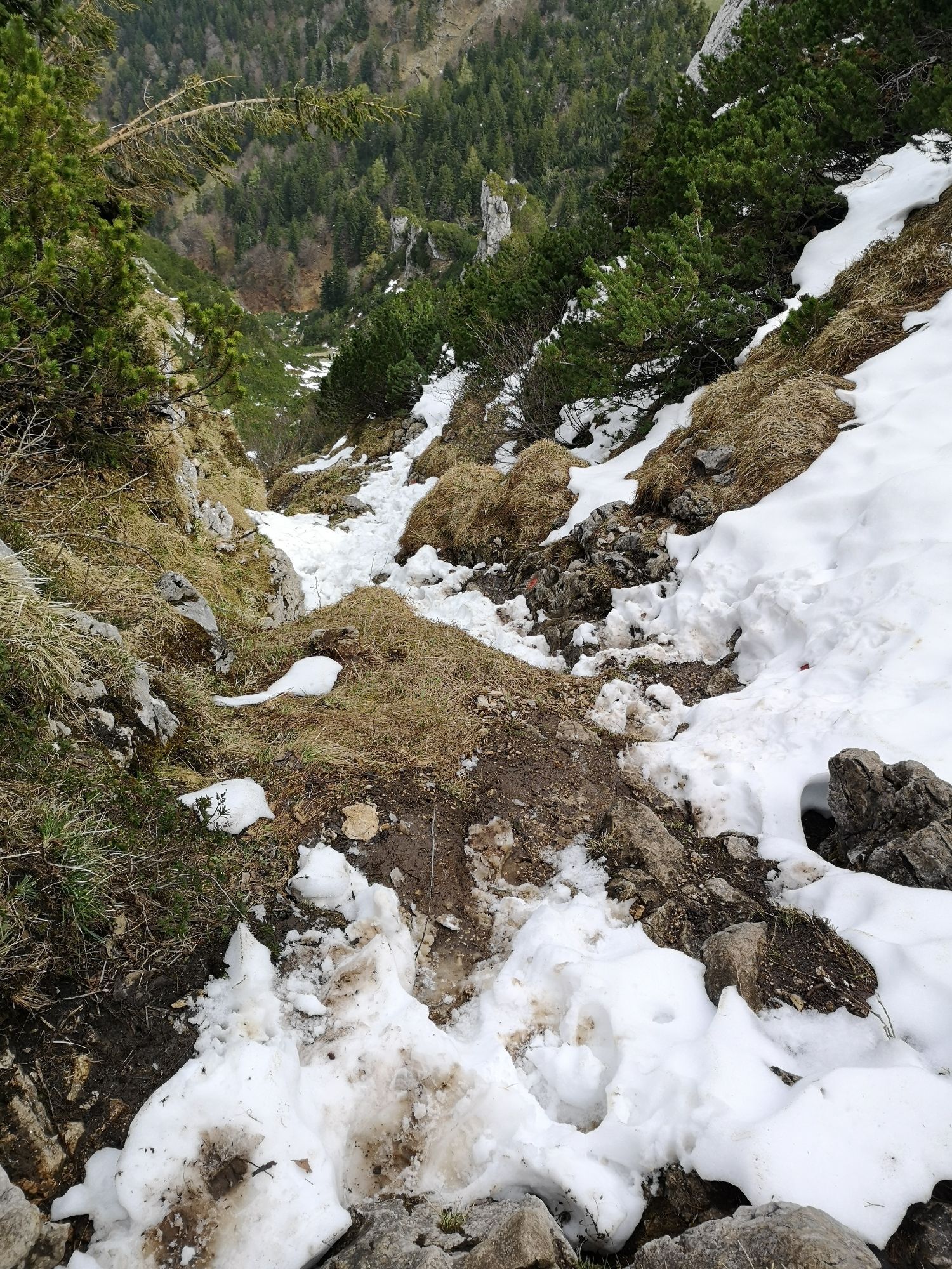
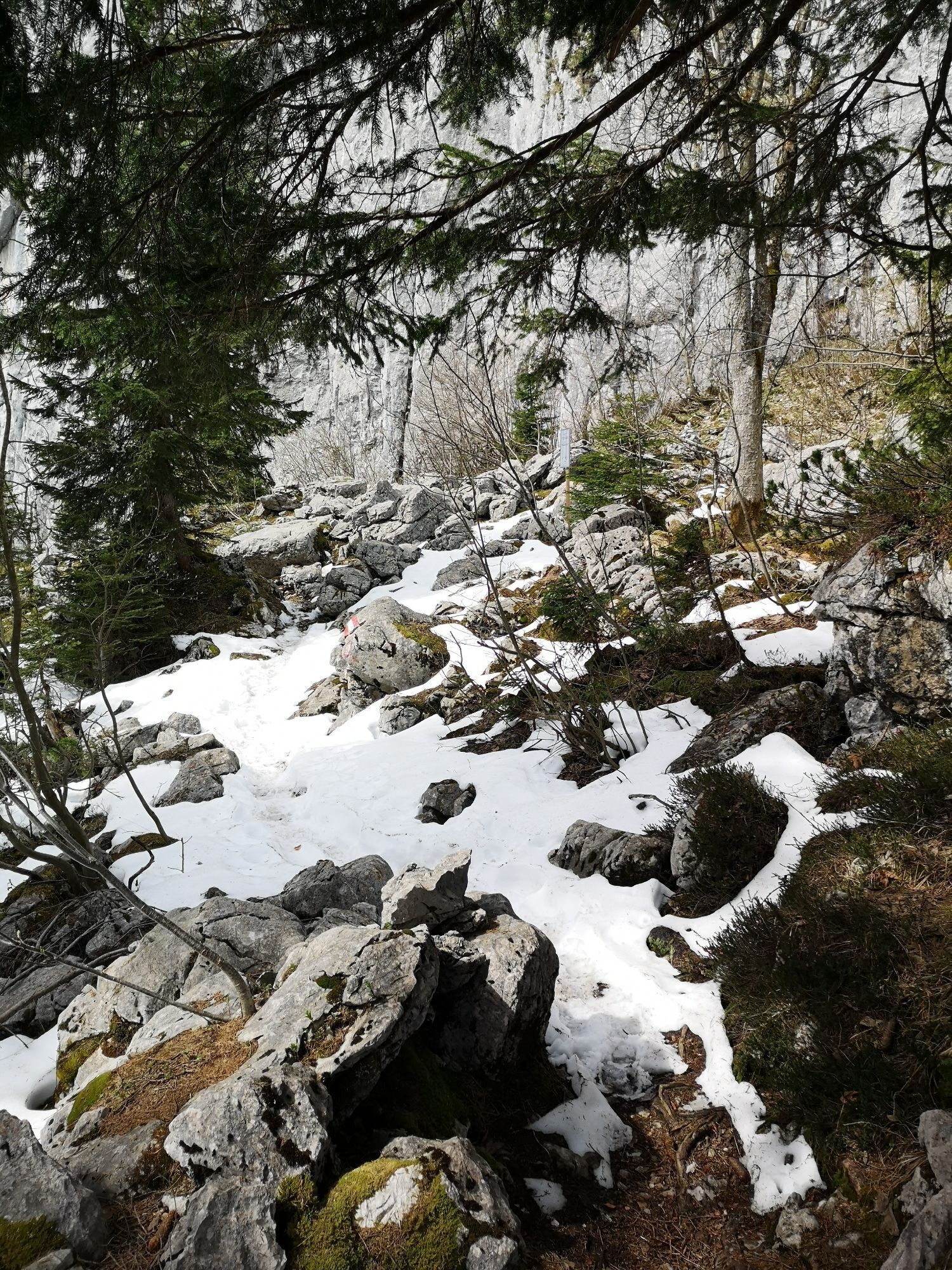
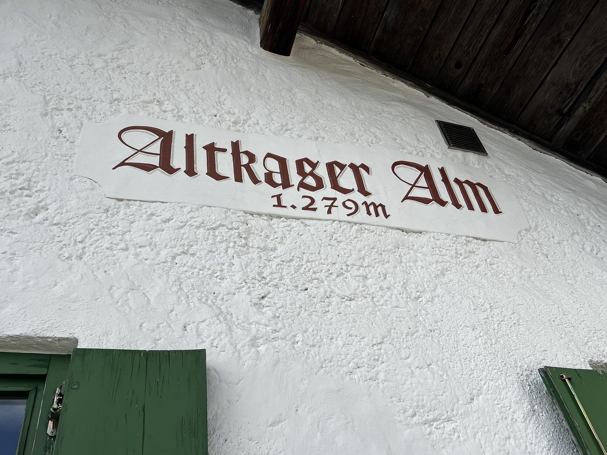
Starting from the Erlerberg car park, this tour offers wonderful views of the Bavarian Alpine upland, and beautiful views down the Inn Valley. The tour leads first west past the summit and then over the north face climb to the Spitzstein. There are four refreshment options along the route, so there's no need to miss out on delicious mountain cuisine. The Nordwandsteig is not a classic via ferrata. It is rope-secured in parts and thus categorized as a black/difficult mountain trail. It is only recommended for experienced and sure-footed mountain hikers. Since it lies almost exclusively on the north side and in a gully, special caution is required in wet conditions and residual snow. Therefore, it is advisable to hike it only from late spring.

Snacks (e.g. fruit, muesli bars, wholemeal breads) and drinks (allow for sufficient liquid)
First aid equipment
Mobile phone with full battery
Hiking map and guide literature
Sun protection (sun cream and glasses, cap)
Bivouac bag
Arrival by car to the hiking car park on the Erlerberg or at the Gogl Alm.
You can take bus line 4036 to the bus stop "Erl Dorf", from there the ascent must be done on foot. With the KufsteinerlandCard within the region bus free of charge.
Hiker's car park Erl or Gogl Alm, free of charge.



Beliebte Touren in der Nähe
- 5,0
Priener Hütte
mittelWanderung 7,99 km - 4,8
Kössen - Wetterfahne - Naringalm - Kössen
mittelWanderung 11,0 km - 4,7
Musikantensteig zur Naunspitze
mittelWanderung 8,96 km - 4,6
Kaisersteig zur Rizaualm ,Ebbs in Tirol
mittelWanderung 12,7 km - 4,6
Geigelstein
mittelWanderung 14,5 km - 4,6
Kampenwand
mittelWanderung 4,35 km - 4,5
Wanderung: Spitzstein und Altkaseralm von Sachrang
mittelWanderung 4,03 km - 4,5
Samerberg - Hochries
mittelWanderung 8,97 km - 4,5
Pyramidenspitze, Vordere Kesselschneid
schwerWanderung 12,8 km - 4,4
Der Schmugglerweg von Kössen zum Klobenstein
leichtThemenweg 7,23 km
Wandern & Tracking


Verpasse keine Angebote und Inspirationen für deinen nächsten Urlaub
Deine E-Mail-Adresse wurde in den Verteiler eingetragen.





