


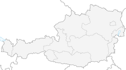


SkiWelt Panoramic Trail
Fotos unserer User

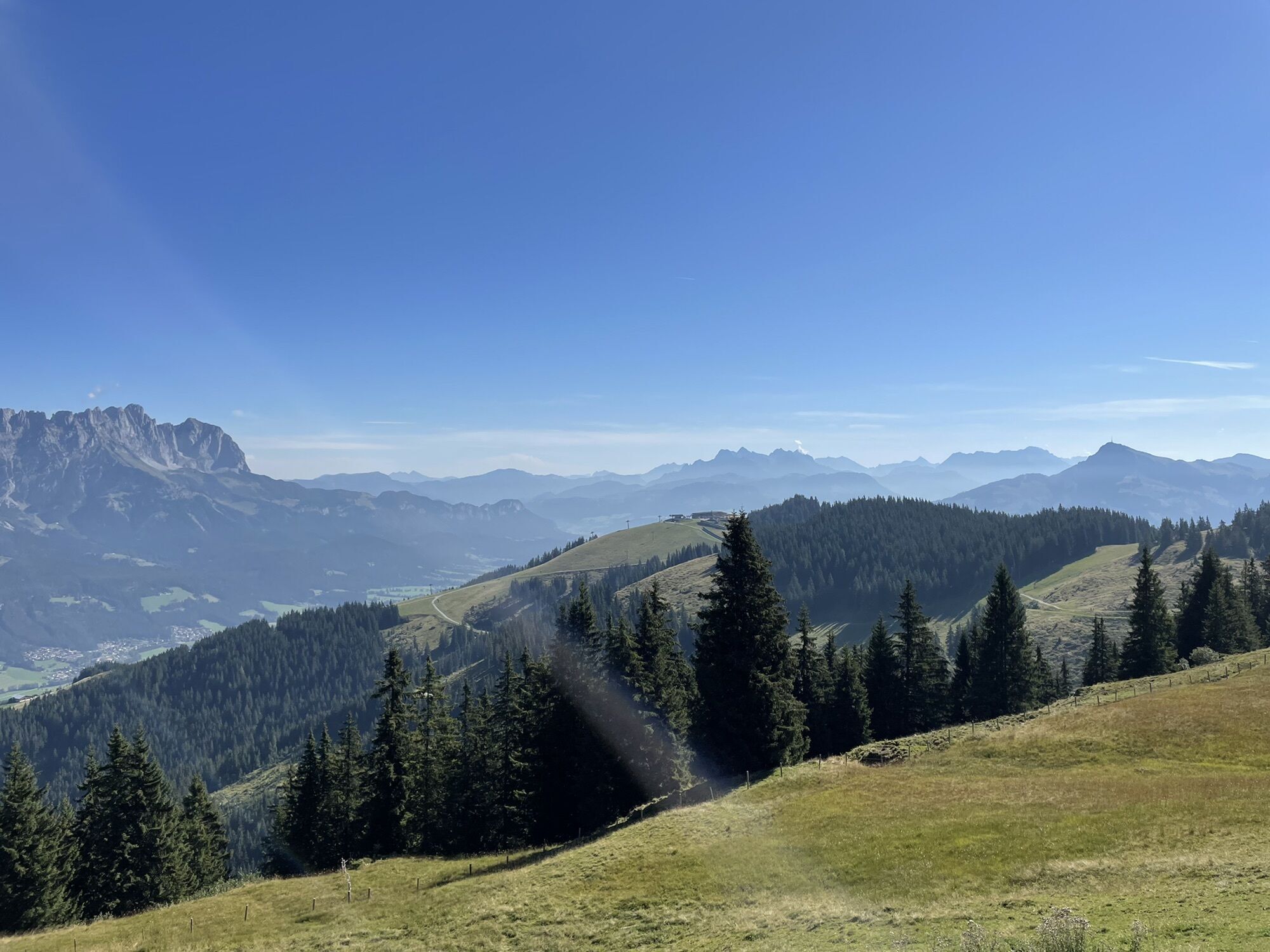
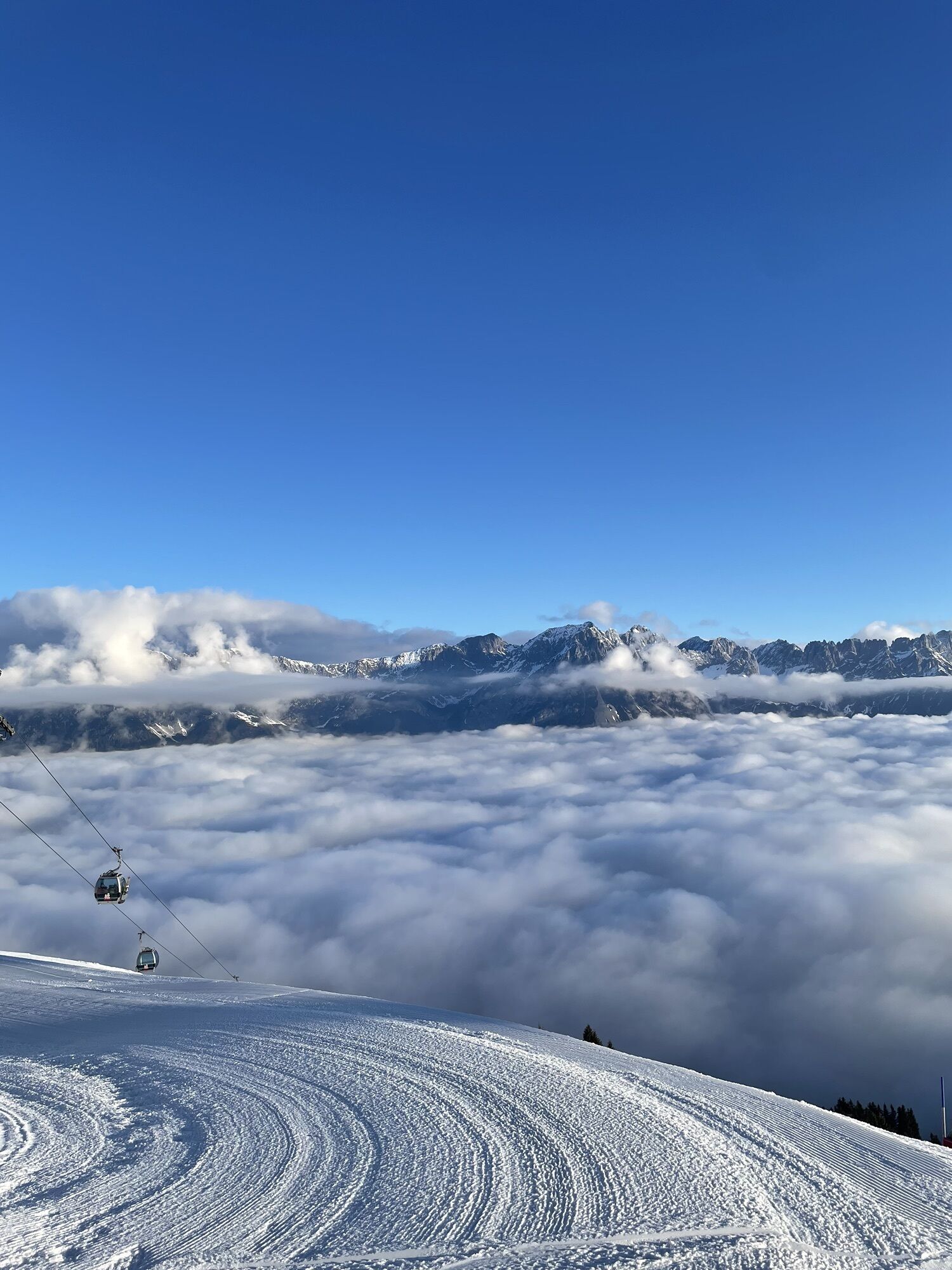
 © Andreas P. 1Erstellt am 18.09.2025
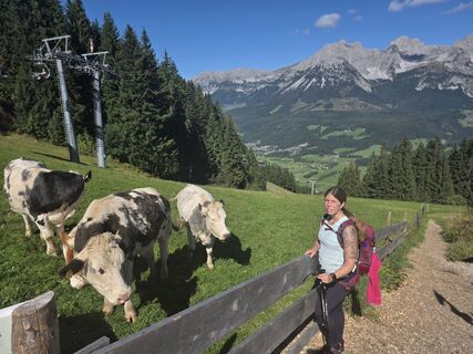 © Andreas P. 1Erstellt am 18.09.2025
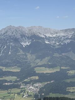
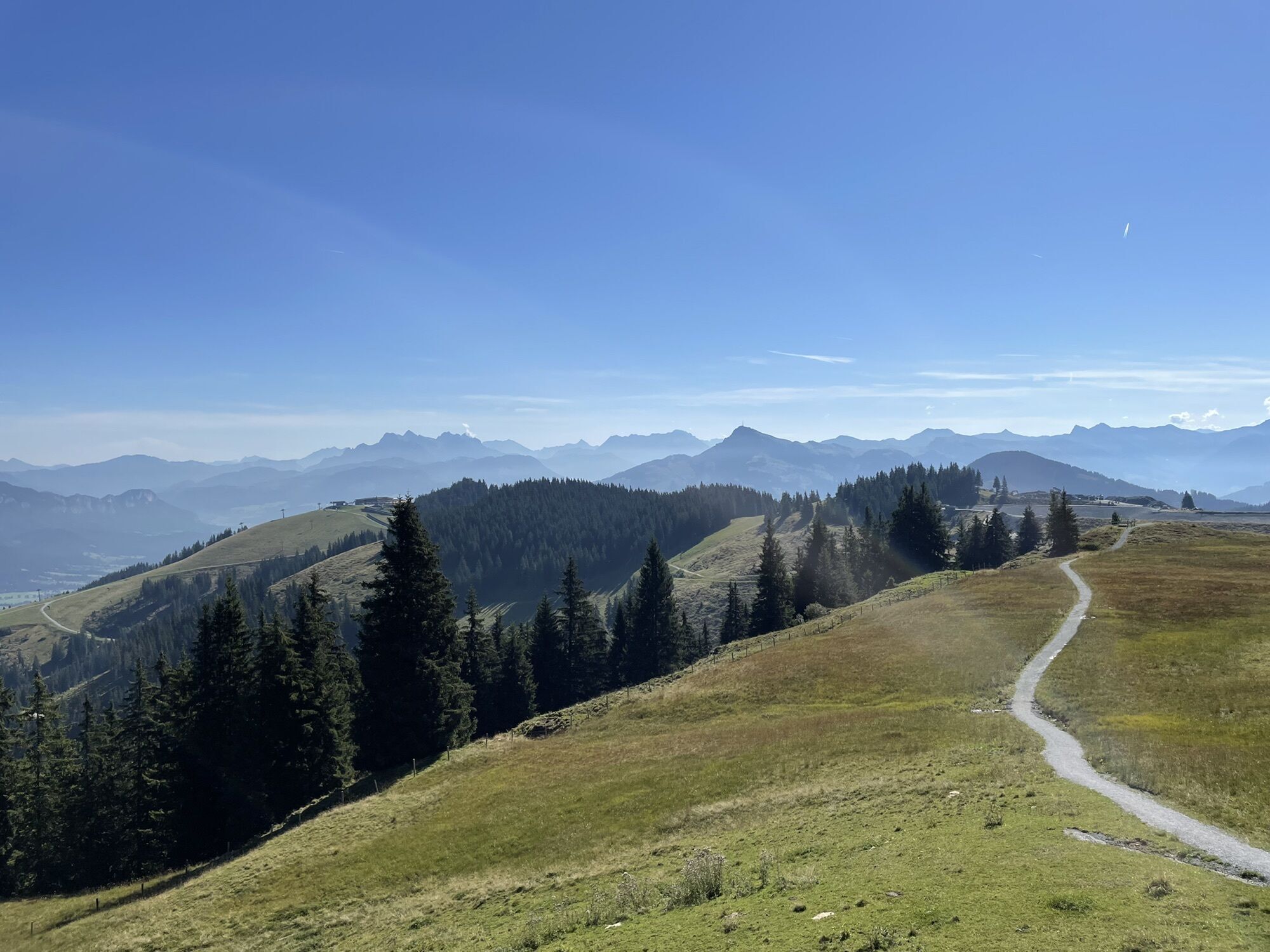
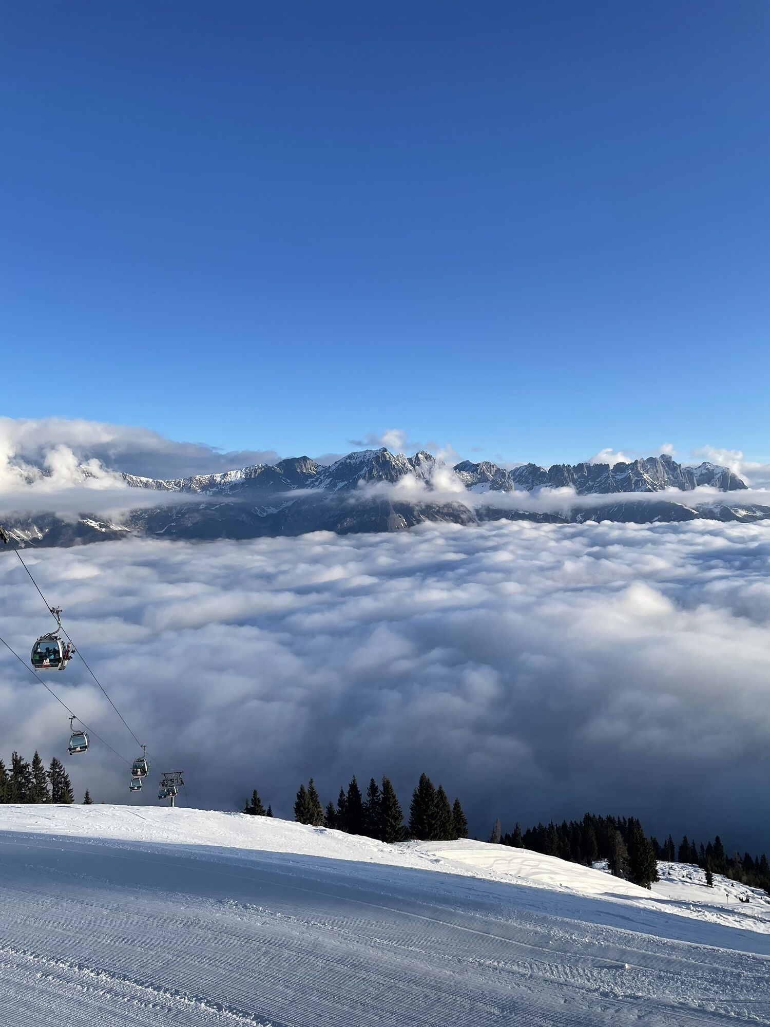
 © Willy 11Erstellt am 14.08.2025
 © Yannic AbelErstellt am 29.06.2025
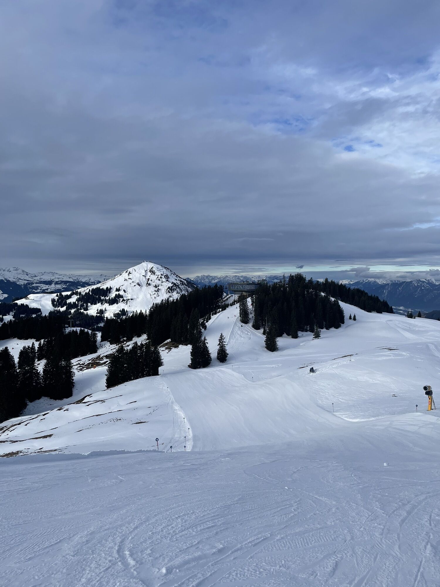
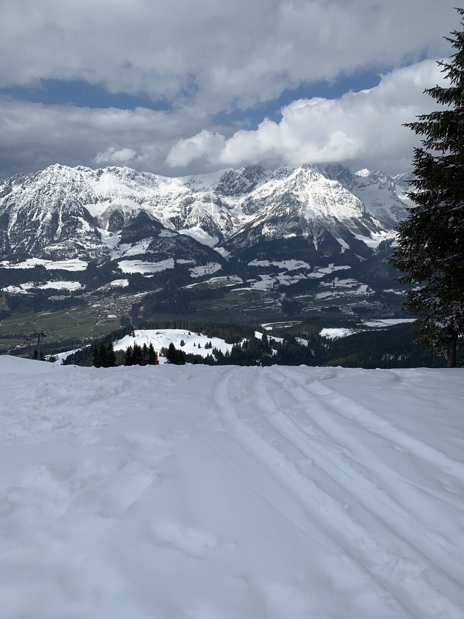
 © se_muckErstellt am 24.05.2025
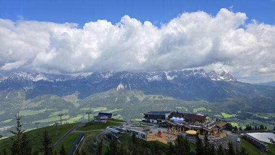 © se_muckErstellt am 24.05.2025
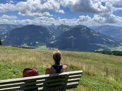
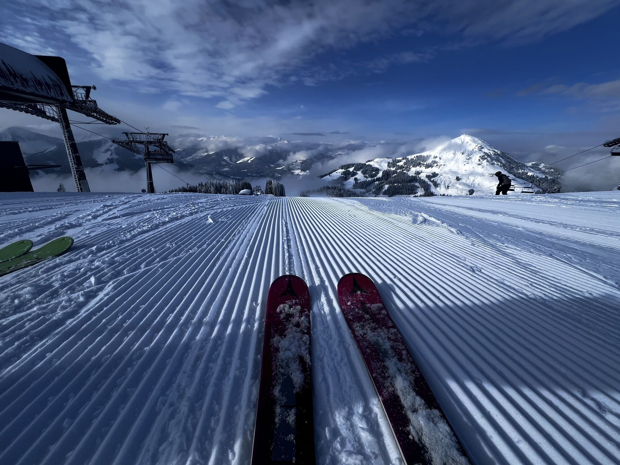
 © Ralf UmmingerErstellt am 12.07.2022
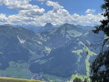 © Ralf UmmingerErstellt am 12.07.2022
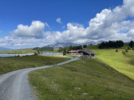 © Ralf UmmingerErstellt am 12.07.2022
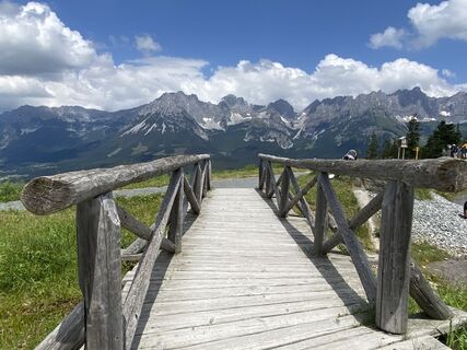
 © ChrisDian SinnErstellt am 24.06.2024
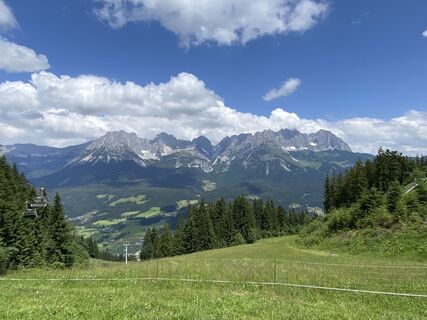 © ChrisDian SinnErstellt am 24.06.2024
 © Sandra WyssErstellt am 30.07.2023
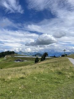 © Sandra WyssErstellt am 30.07.2023
 © wanderer55Erstellt am 07.10.2022
 © wanderer55Erstellt am 07.10.2022
 © wanderer55Erstellt am 07.10.2022
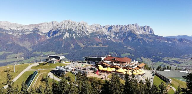 © wanderer55Erstellt am 07.10.2022
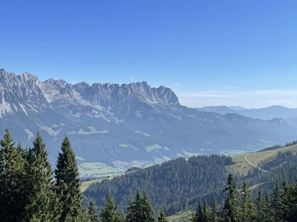 © Stefan MangoldErstellt am 25.08.2022
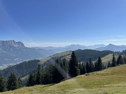 © Stefan MangoldErstellt am 25.08.2022
 © Stefan MangoldErstellt am 25.08.2022
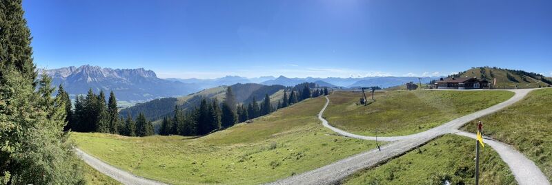 © Stefan MangoldErstellt am 25.08.2022
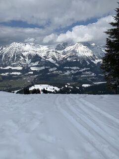 © Maxi_RadiErstellt am 03.04.2026
 © Finn W.Erstellt am 01.04.2026
 © Finn W.Erstellt am 01.04.2026
 © ໓คຖiēlErstellt am 30.03.2026
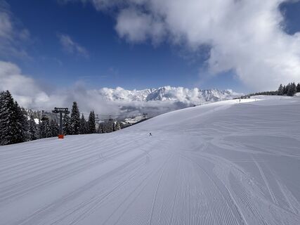 © KerscherErstellt am 28.03.2026
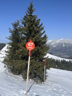 © Feil EliErstellt am 07.03.2026
 © Thore GuseErstellt am 03.03.2026
 © Thore GuseErstellt am 03.03.2026
 © Thore GuseErstellt am 03.03.2026
 © Elisa BüchnerErstellt am 28.02.2026
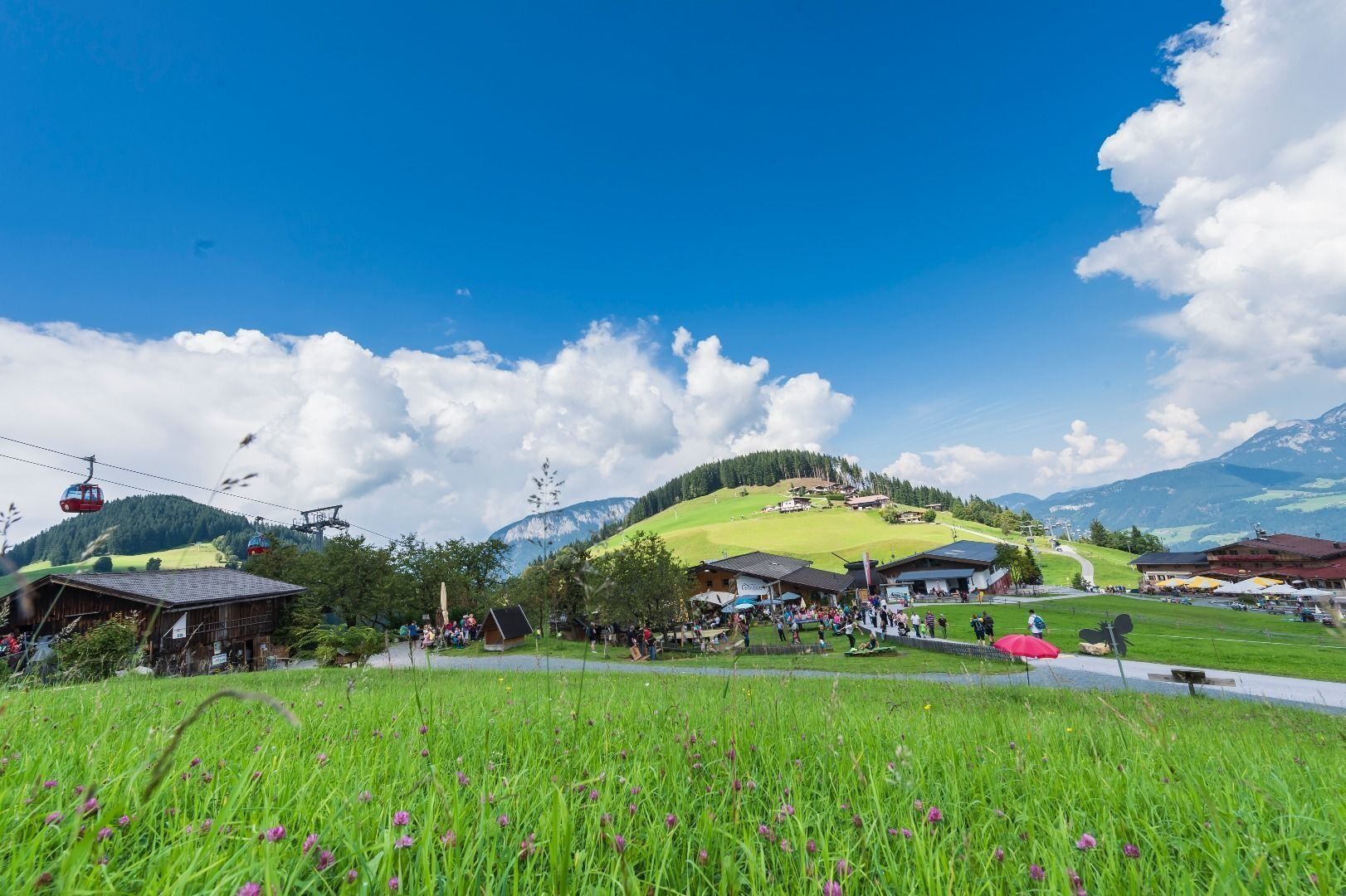
 © Sven SnoekErstellt am 28.02.2026
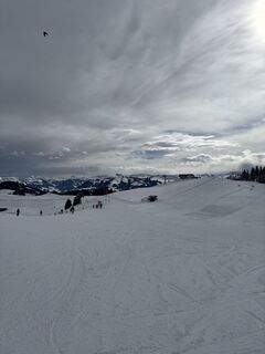 © Darjan GantarErstellt am 19.02.2026
 © Familie LambooErstellt am 18.02.2026
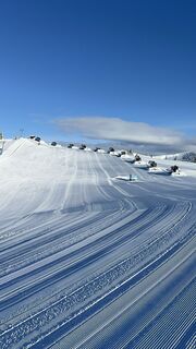 © Familie LambooErstellt am 18.02.2026
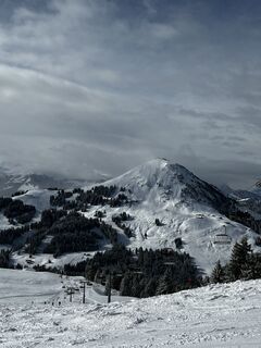
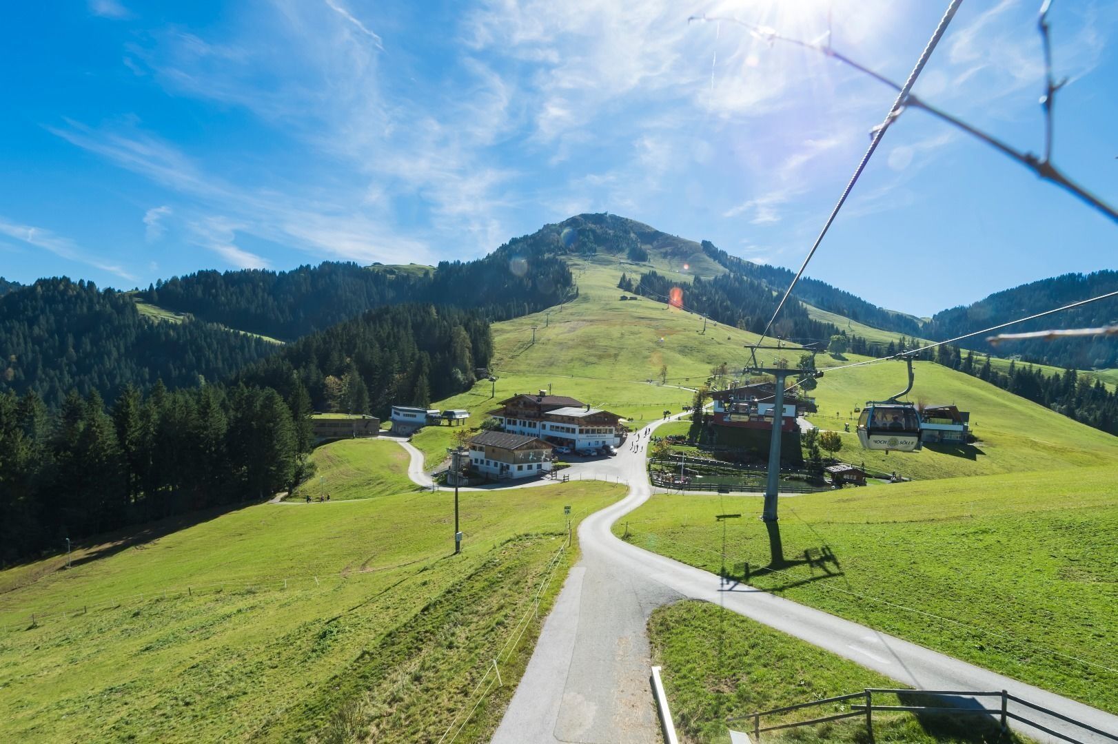
 © Deniz TarmanErstellt am 16.02.2026
 © Nils WasiakErstellt am 13.02.2026
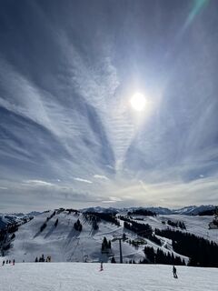
 © Ilma BegovicErstellt am 12.02.2026
 © Ilma BegovicErstellt am 12.02.2026
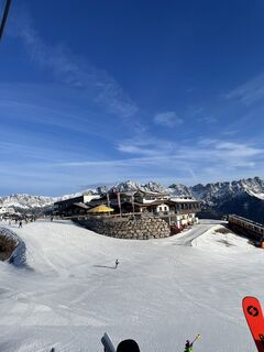 © Ilma BegovicErstellt am 12.02.2026
 © Ilma BegovicErstellt am 12.02.2026
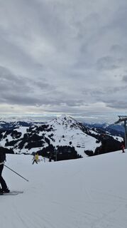 © Nils WasiakErstellt am 11.02.2026
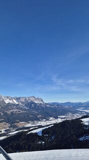 © Nils WasiakErstellt am 10.02.2026
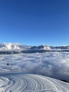 © Ilma BegovicErstellt am 08.02.2026
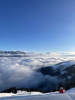 © Ilma BegovicErstellt am 08.02.2026
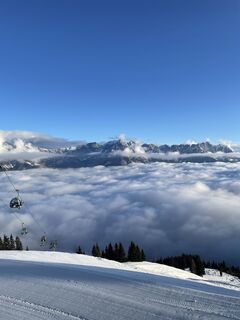 © Ilma BegovicErstellt am 08.02.2026
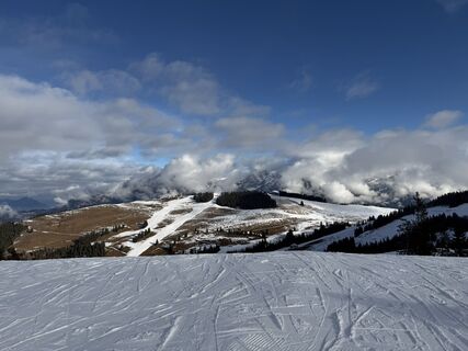
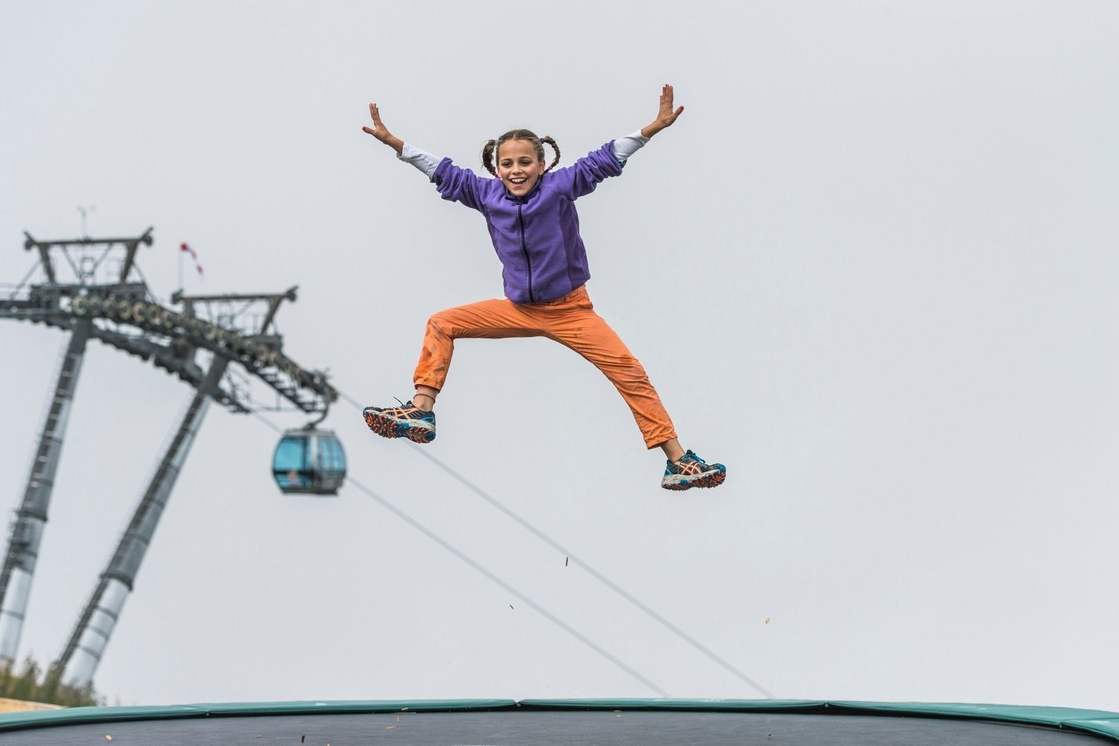
 © Bernd MasanetzErstellt am 07.02.2026
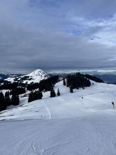 © Ilma BegovicErstellt am 06.02.2026
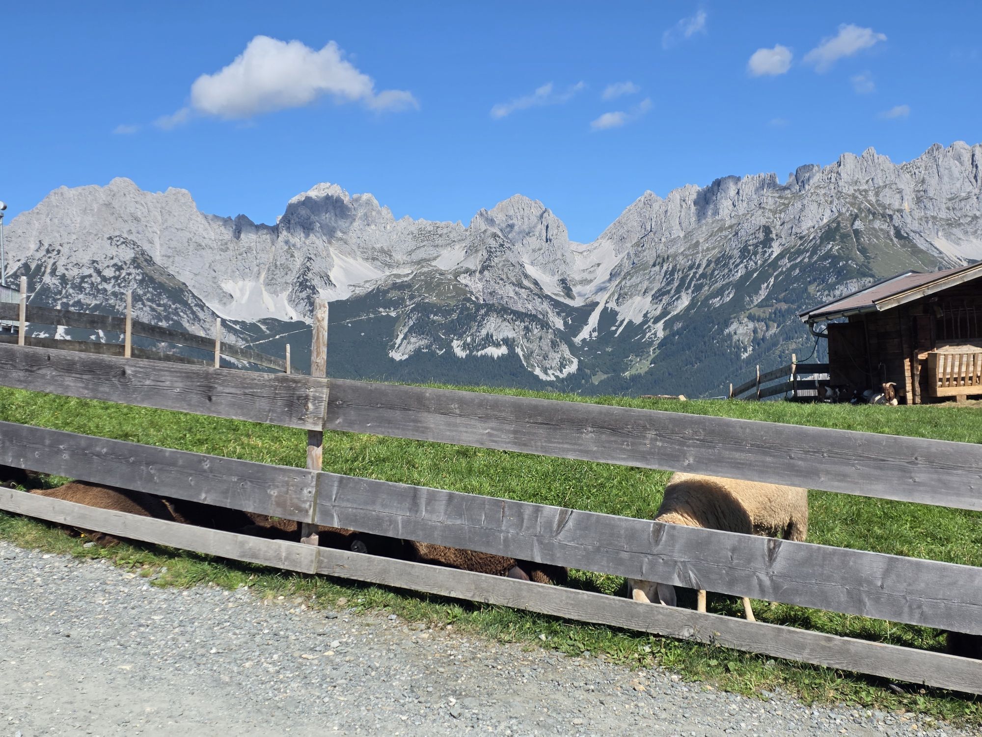

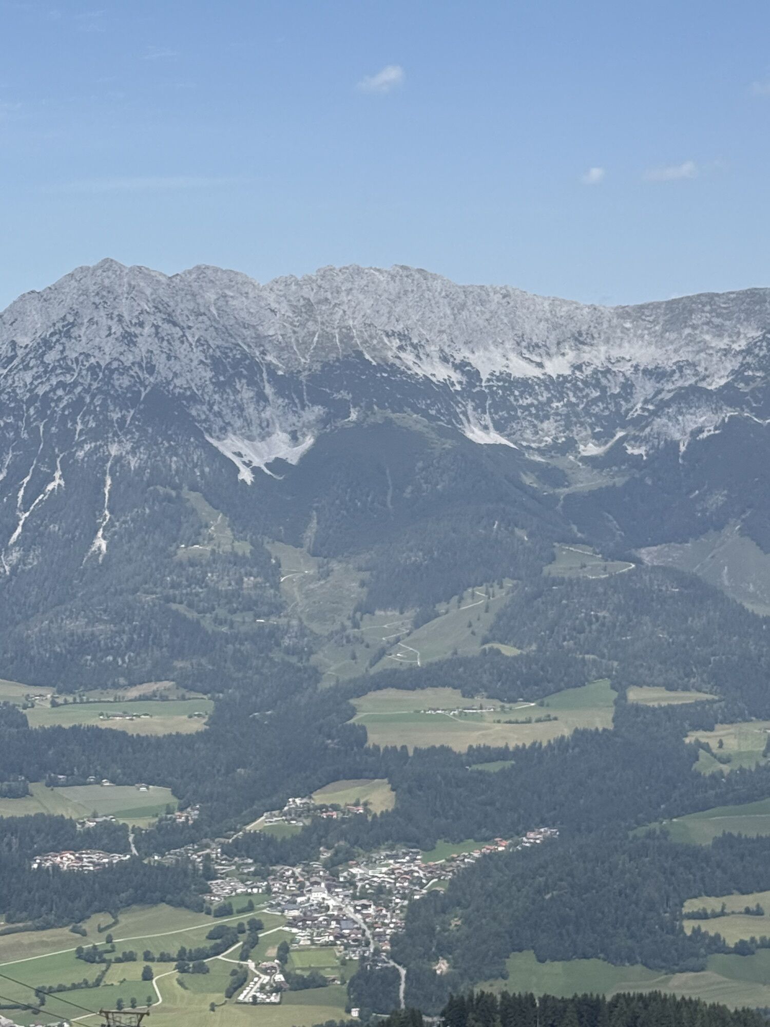


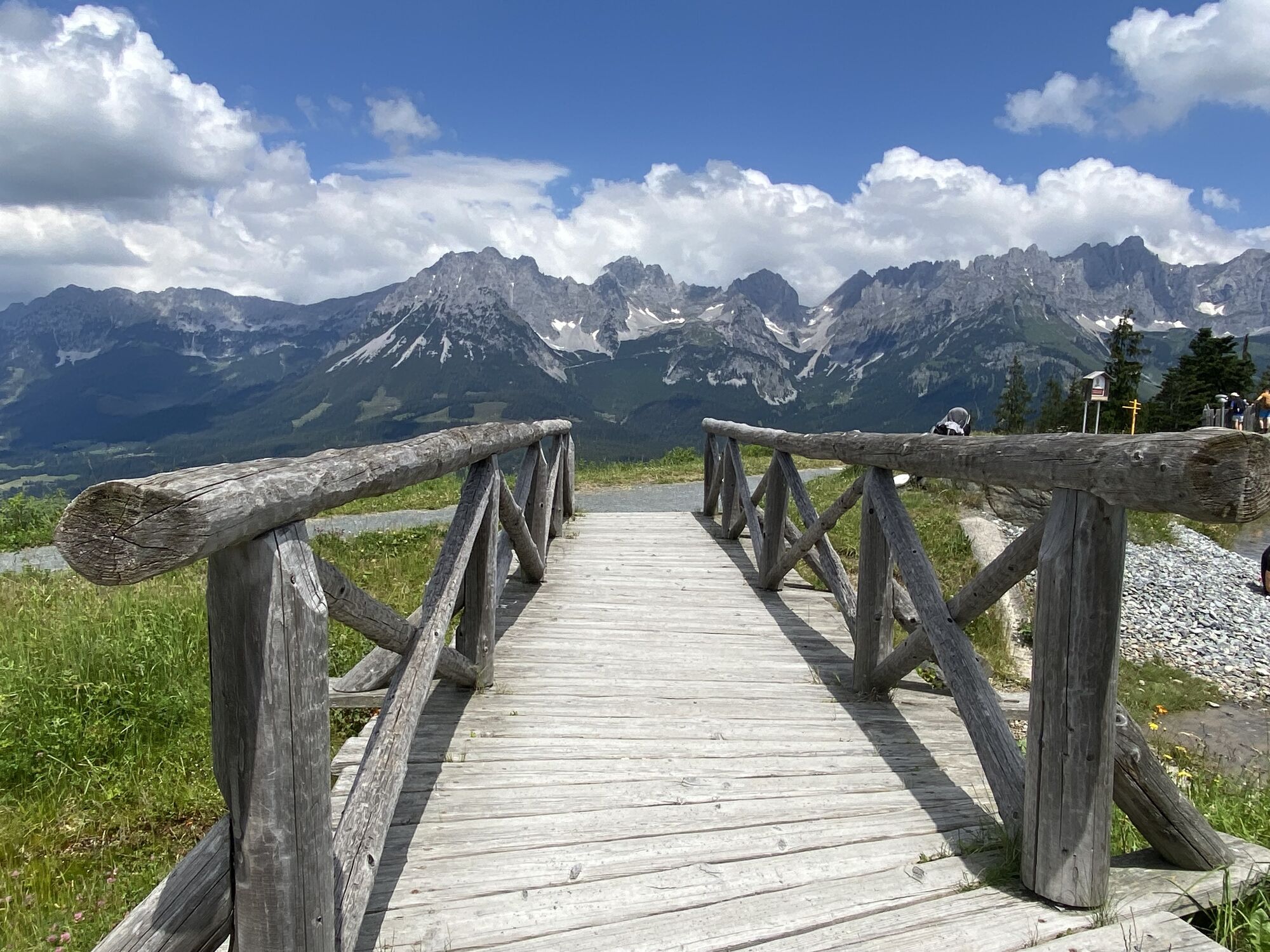


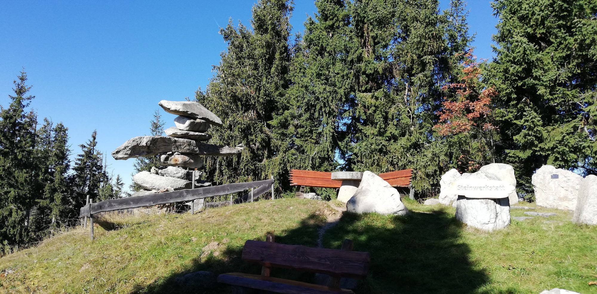


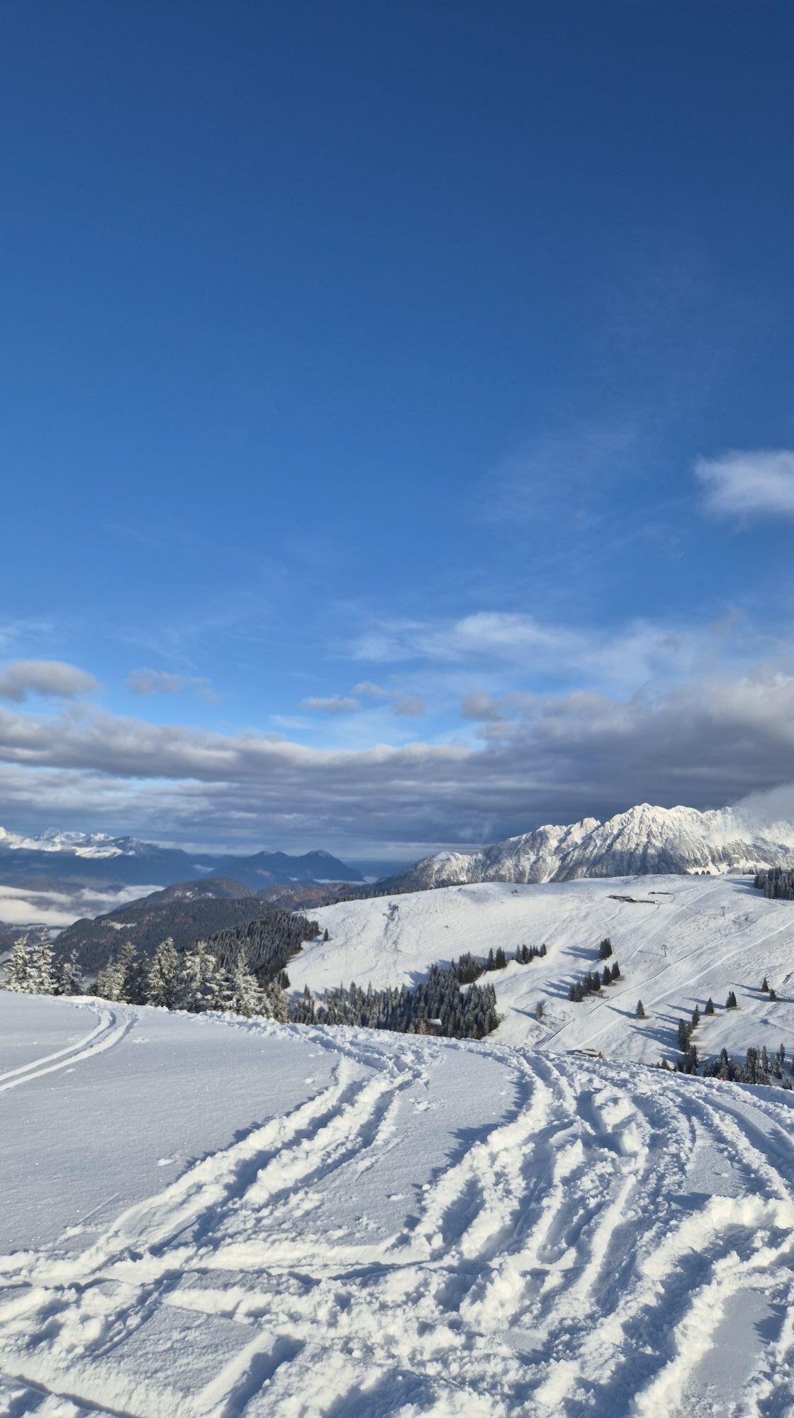
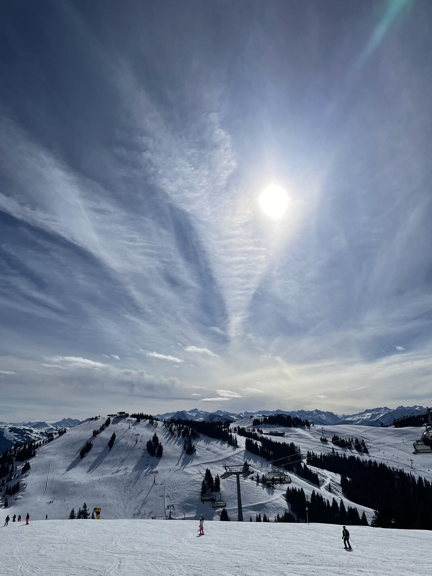


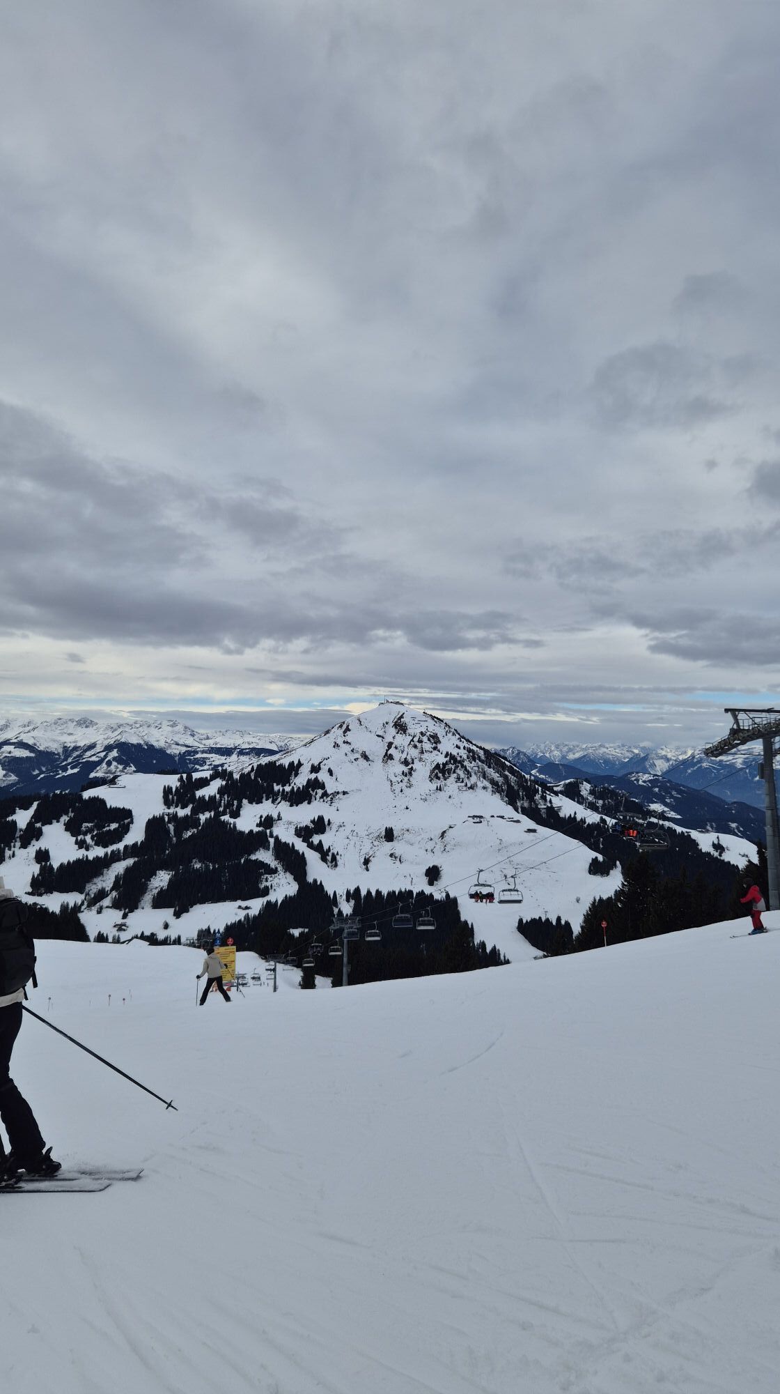
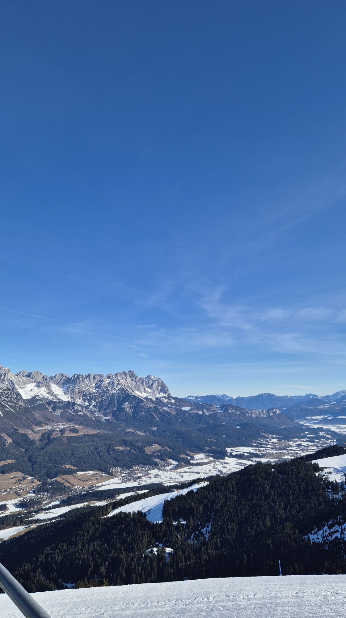


The tour is mostly on easy hiking trails with only a short section of moderate difficulty. The numerous refreshment stops serving regional delicacies, the glorious scenery of the Kitzbühel Alps with stunning...
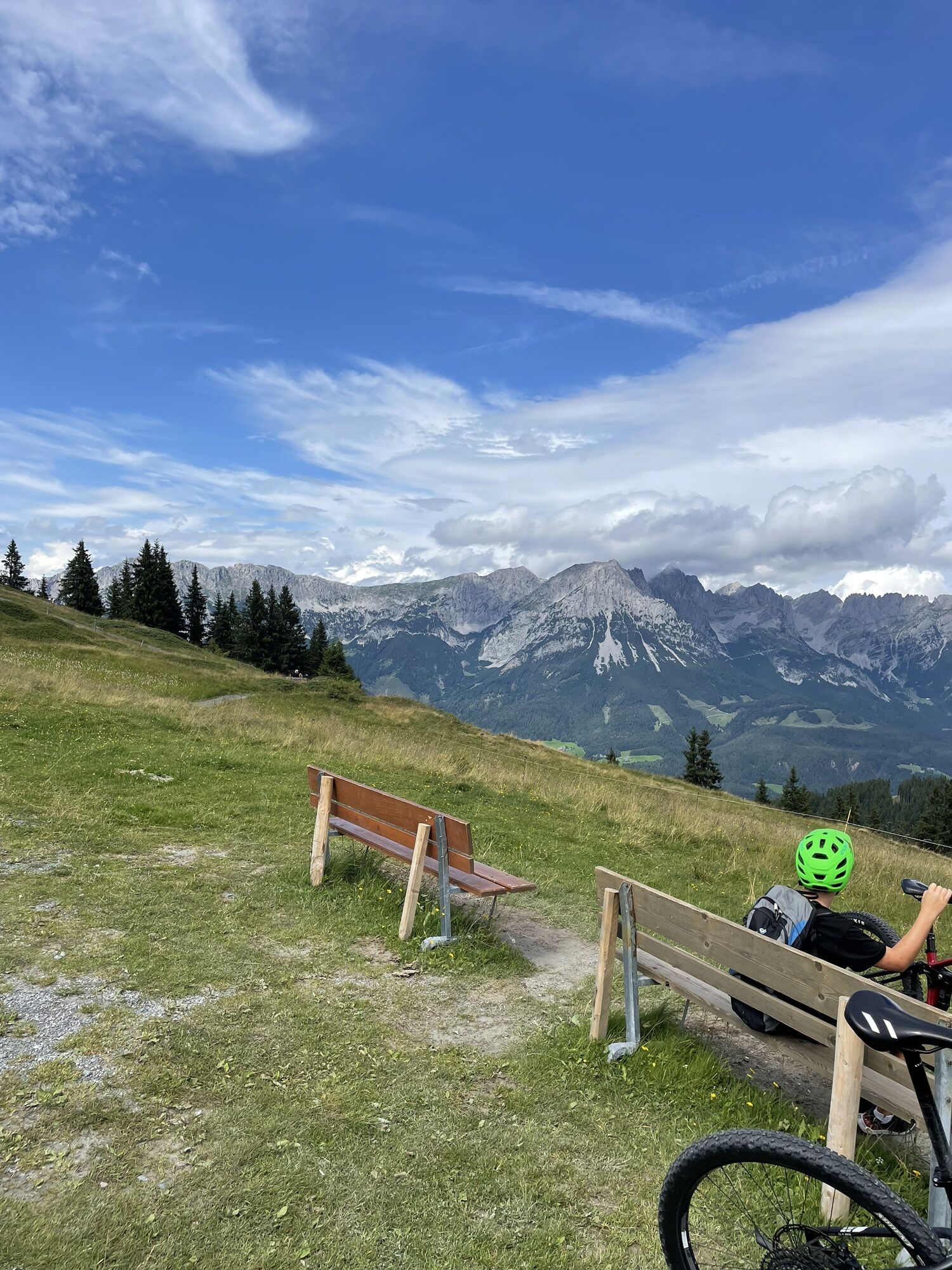
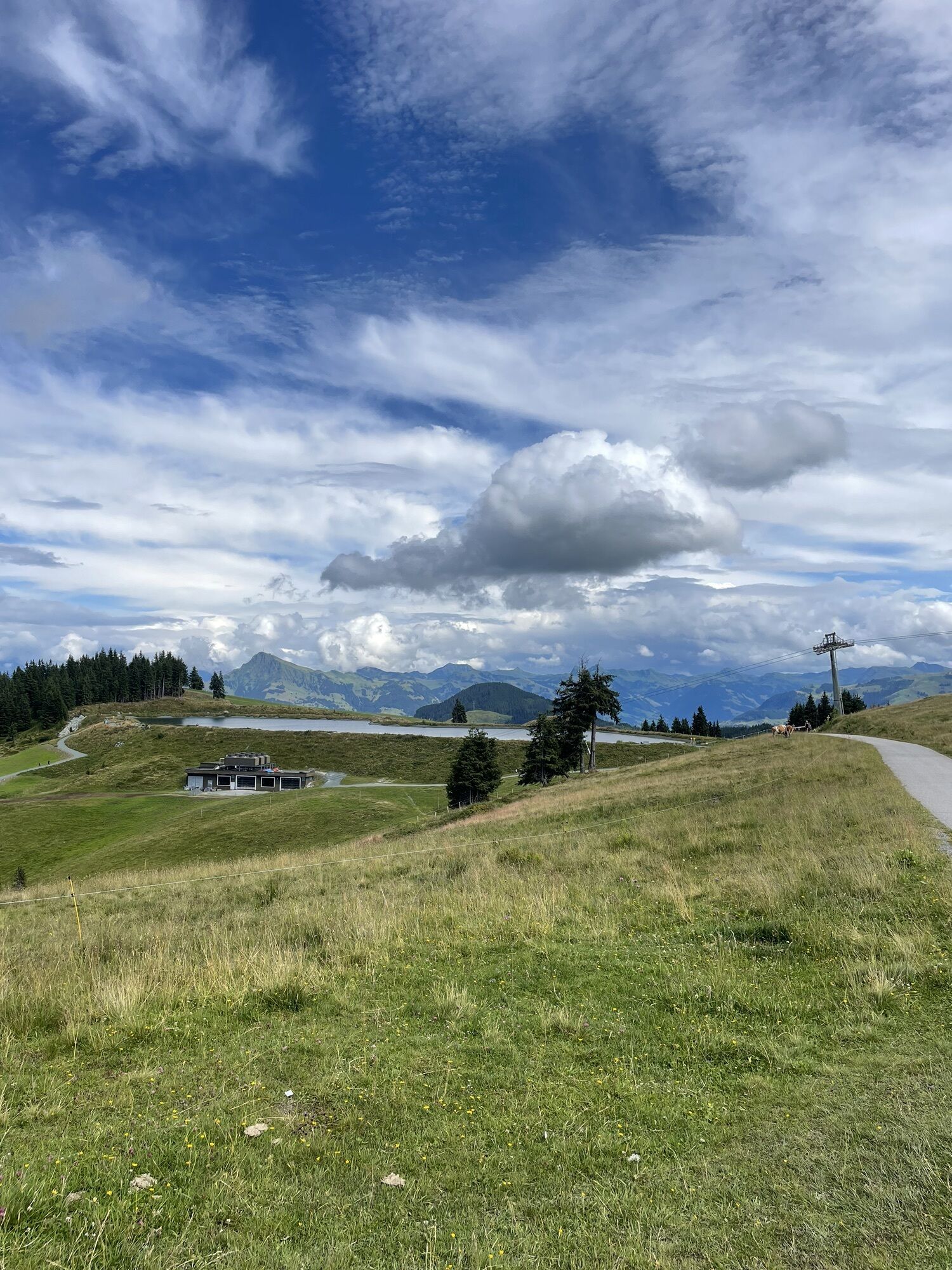
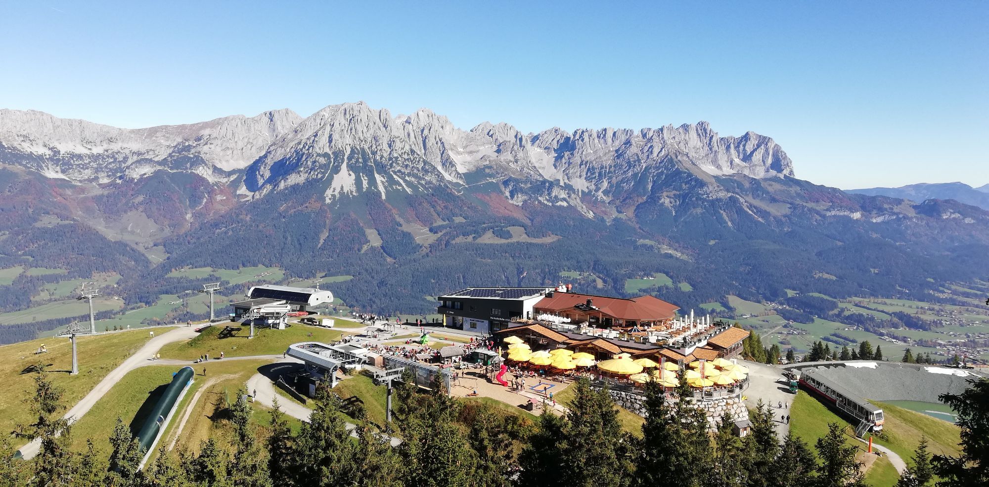
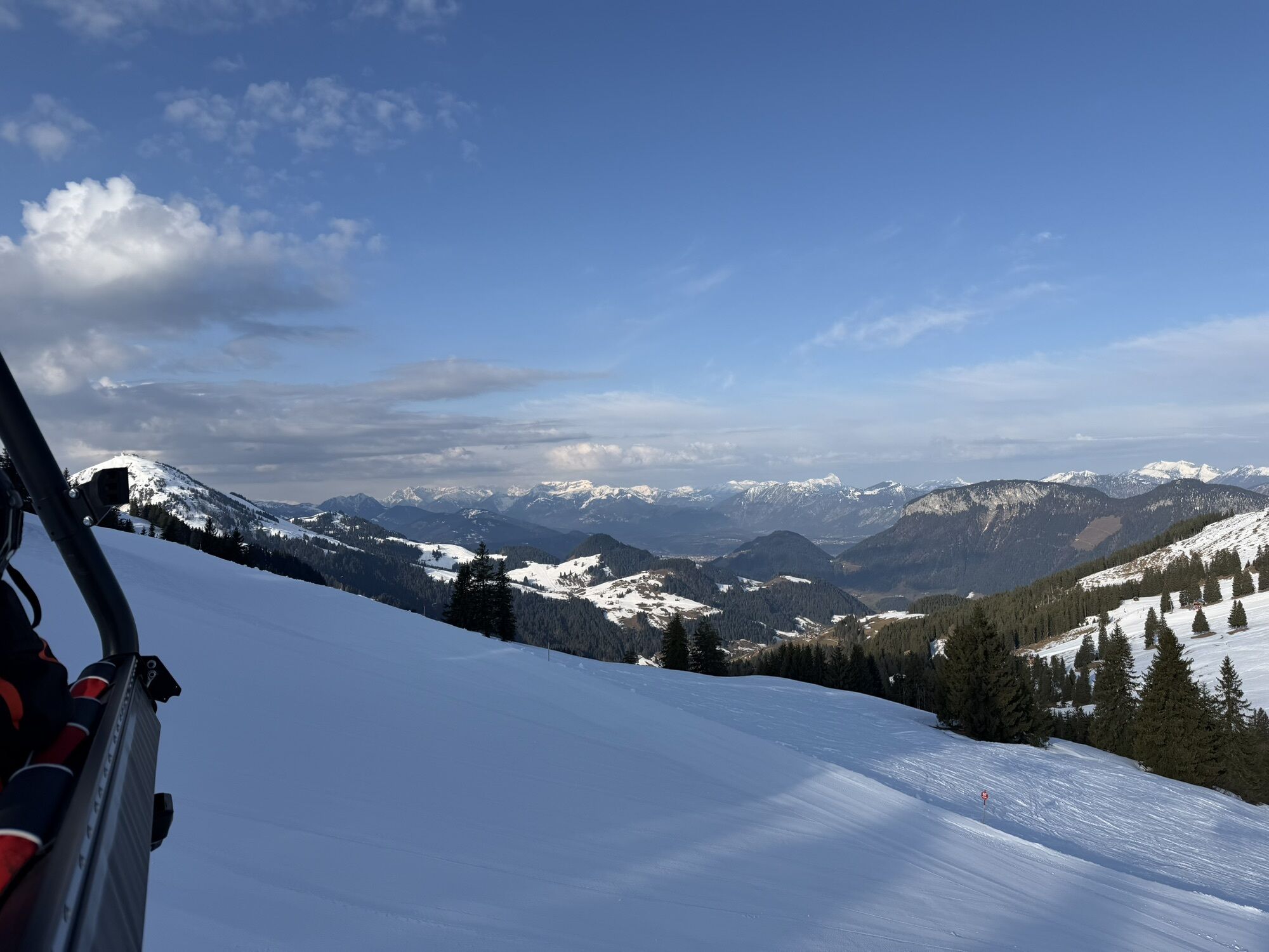
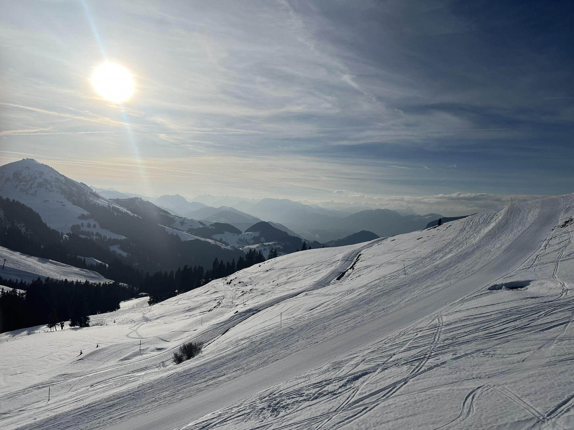
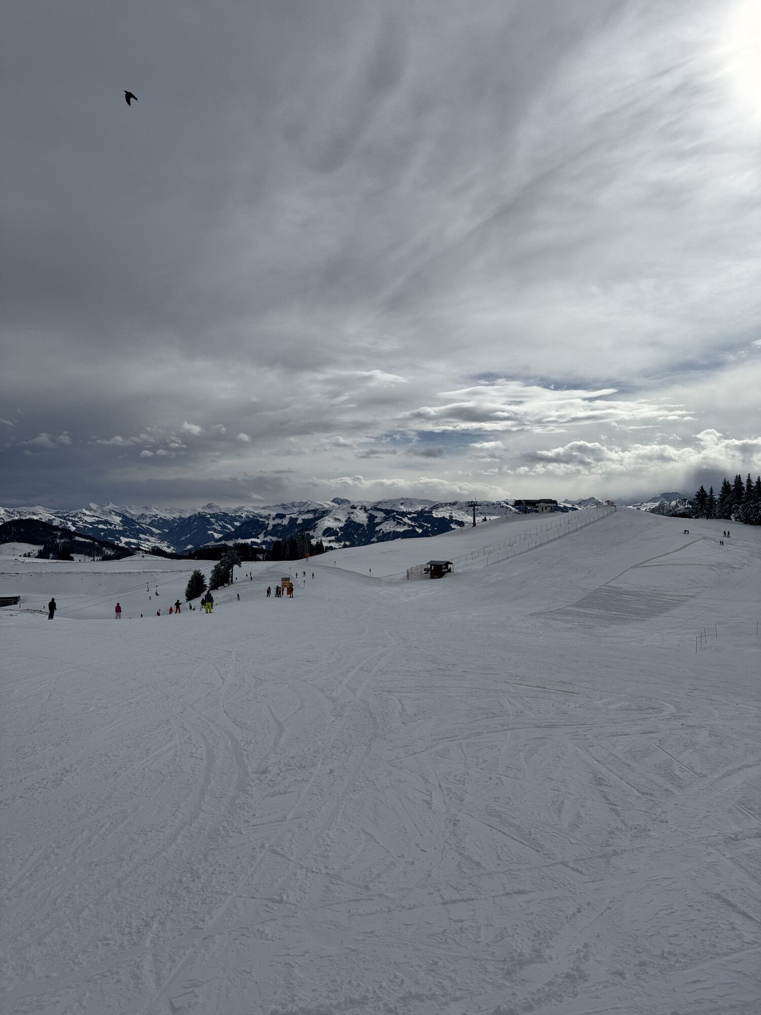
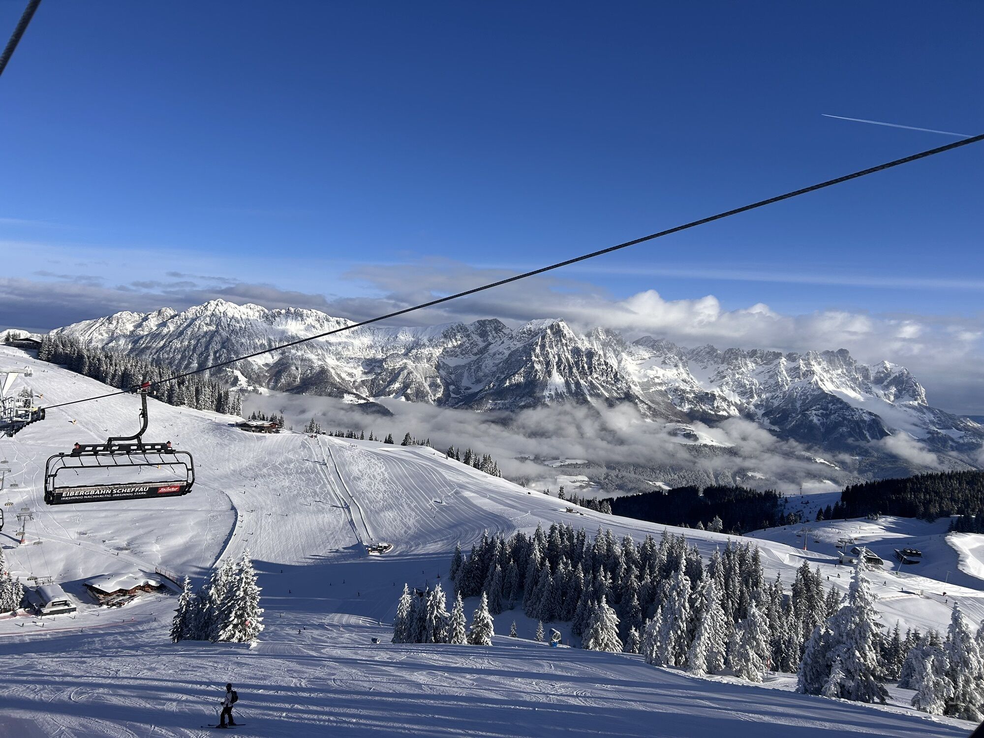
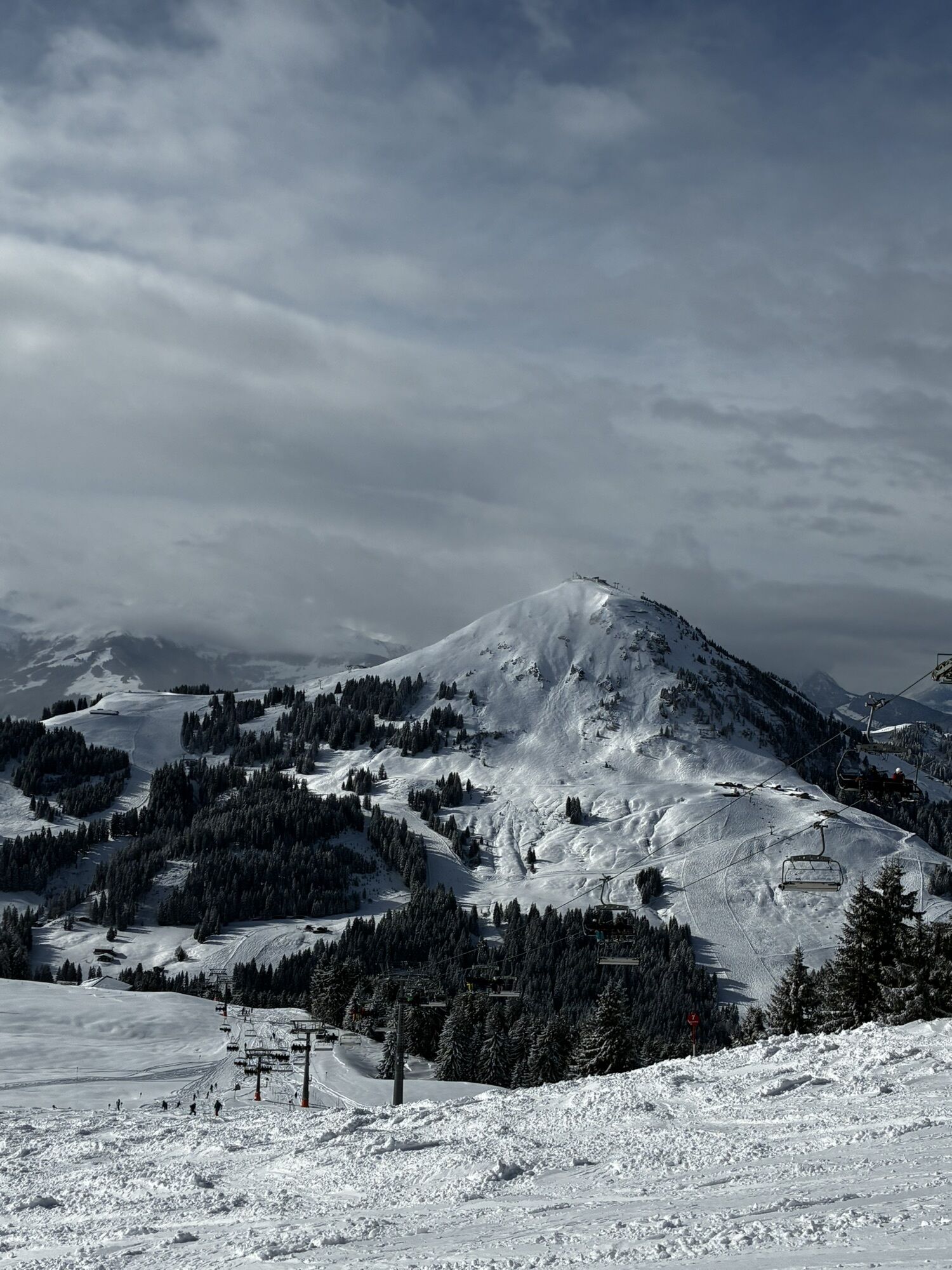
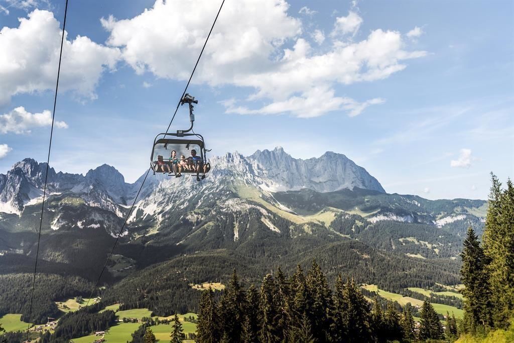
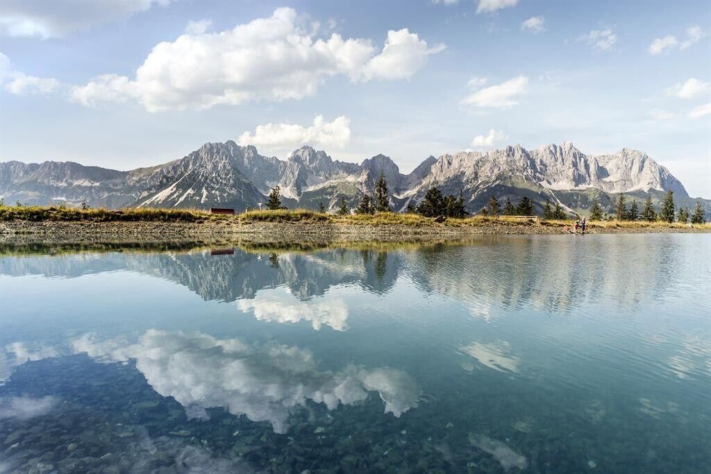
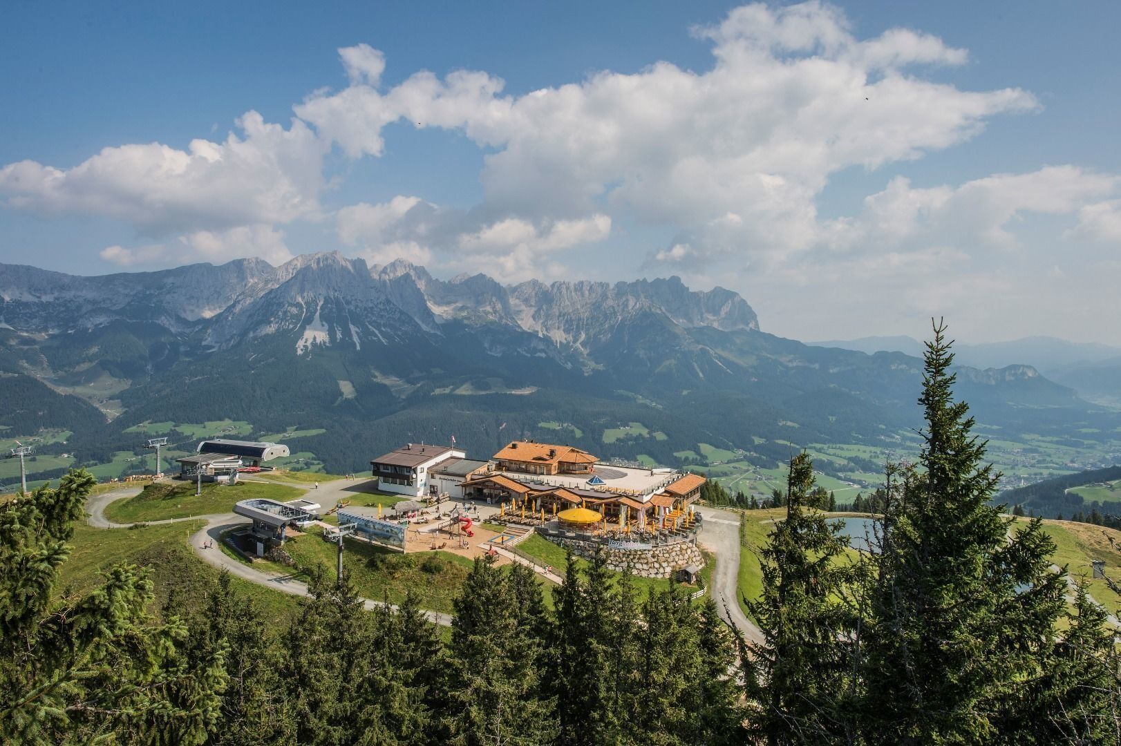
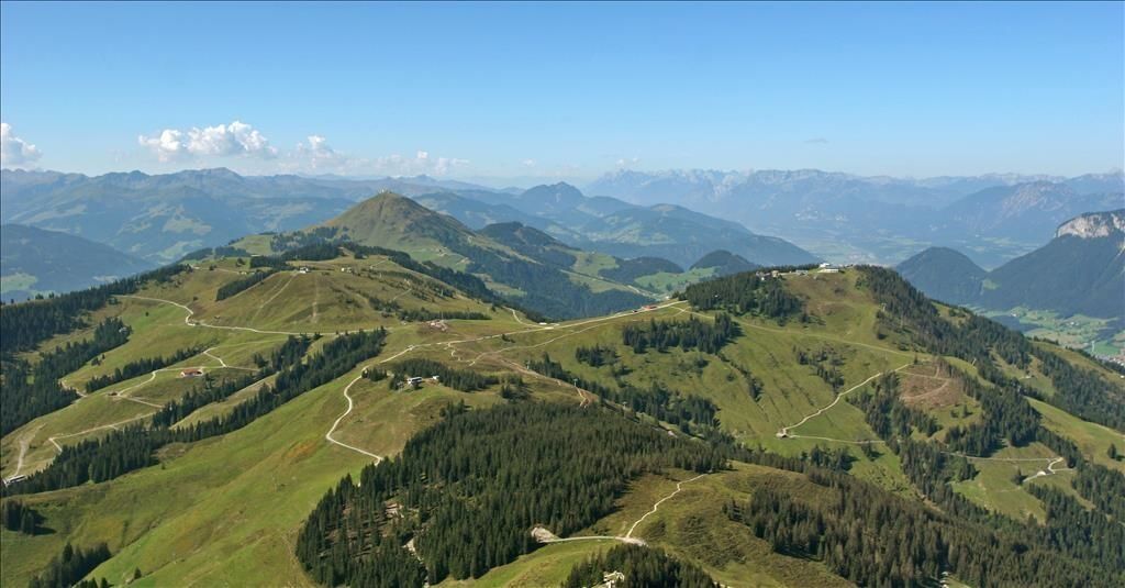
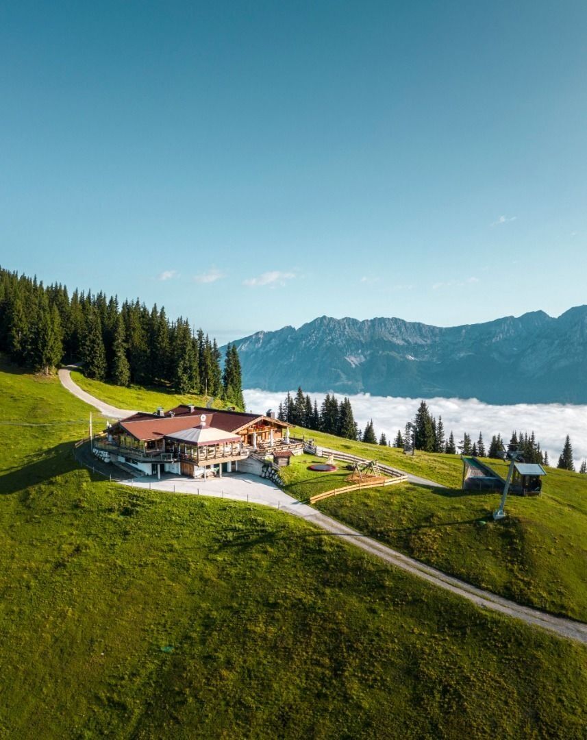
The tour is mostly on easy hiking trails with only a short section of moderate difficulty. The numerous refreshment stops serving regional delicacies, the glorious scenery of the Kitzbühel Alps with stunning views of the imposing Wilder Kaiser to the north and the main ridge of the Alps to the south make the hike a truly wonderful experience you’ll never forget.
The SkiWelt Panoramic Trail can be hiked in many different ways. Access points and means of ascent and descent on the Bergbahnen Wilder Kaiser – Brixental summer cable cars are to be found in all four of the villages of the Kaiser region: Ellmau, Going, Scheffau and Söll. The Bergbahn Erlebnis-Card gives you unlimited use of all the cable cars as well as entry to the Adventure Worlds.
And the KaiserJet brings you back to your starting point.
Full course of the trail
Astberg – Hochsöll:
20 km / 840 hm ascent / 940 m descent / ca. 6 h (actual walking time)
Hochsöll – Astberg:
20 km / 940 hm ascent / 840 m descent / ca. 6 h (actual walking time)
Variations
Astberg – Hartkaiser:
13,6 km / 640 m ascent / 360 m descent / 4h 30 min
Astberg – Brandstadl:
12,6 km / 650 m ascent / 260 m descent / 4h 15 min
Hartkaiser – Astberg:
13,6 km / 360 m ascent / 640 m descent / 4h 15 min
Hartkaiser – Brandstadl:
2,8 km / 160 m ascent / 40 m descent / 1h
Hartkaiser – Hochsöll:
12,2 km / 260 m ascent / 650 m descent / 4h
12,2 km / 260 m ascent / 250 m descent / 3h *
Brandstadl – Hochsöll:
11 km / 180 m ascent / 660 m ab / 3h 45 min
6,9 km / 170 m ascent / 280 m ab / 2h 45 min *
Brandstadl – Hartkaiser:
2,8 km / 40 m ascent / 160 m descent / 1h
Brandstadl – Astberg:
12,6 km / 260 m ascent / 650 m descent / 4h 15 min
Hochsöll – Brandstadl:
11 km / 660 m ascent / 180 m descent / 3h 45 min
6,9 km / 280 m ascent / 170 m descent / 2h 45 min *
Hochsöll – Hartkaiser:
12,2 km / 650 m ascent / 260 m descent / 4h
8,2 km / 250 m ascentâ / 320 m descent / 3h *
* information when using Zinsberg cable car
Wilder Kaiser hiking map (1:25.000) available at the Tourist information offices Ellmau, Going, Scheffau and Söll for € 6,90 - with Wilder Kaiser Guest Card for € 6, -.
Rucksack, hiking/mountaineering boots, hiking gear (breathable), change of clothes, sun protection (sunglasses, sun cream, headgear), waterproofs (hardshell), cold protection (gloves and hat), water bottle, food for eating on the way, hiking poles if desired, first aid kit, plastic bag for waste, hiking map/route description (gpx track)
Coming on B178 road from Wörgl, Kufstein or St. Johann, drive to the cable car valley station of your chosen point of departure.
Going Astbergbahn Talstationâ
Ellmau Hartkaiserbahn /Ellmis Zauberwelt
Scheffau Bergbahn
Söll Gondelbahn Hexenwasser Hohe Salve
More information at: www.wilderkaiser.info/mobility
At the valley stations of every summer cable car in Ellmau, Going, Scheffau and Söll.
Beliebte Touren in der Nähe
- 4,5
Über Hintersteinersee und Walleralm aufs Hochegg
leichtWanderung 12,2 km - 4,2
Bergdoktor Wohnhaus "Gruberhof" (Köpfing Hof) Rundeweg-Söll
leichtWanderung 8,70 km - 4,4
Wanderung um den Hintersteinersee
leichtWanderung 5,29 km - 3,3
Kaisertal Rund-Wanderung
mittelWanderung 13,9 km - 4,7
Hintersteinersee
mittelWanderung 9,87 km - 4,9
Ellmauer Tor (22.07.2020)
mittelWanderung 9,32 km - 4,8
Rosskopf
leichtWanderung 7,02 km - 4,9
Streif Wanderweg
mittelWanderung 5,73 km - 4,9
Route 209: Brechhornhaus-Choralpe
schwerMountainbike 24,4 km - 4,5
Jubiläumssteig Kaisergrbirge
leichtKlettersteig 6,29 km

Wandern & Tracking


Verpasse keine Angebote und Inspirationen für deinen nächsten Urlaub
Deine E-Mail-Adresse wurde in den Verteiler eingetragen.