


Kaiserlift Tourentipp 3: Walleralm
Fotos unserer User

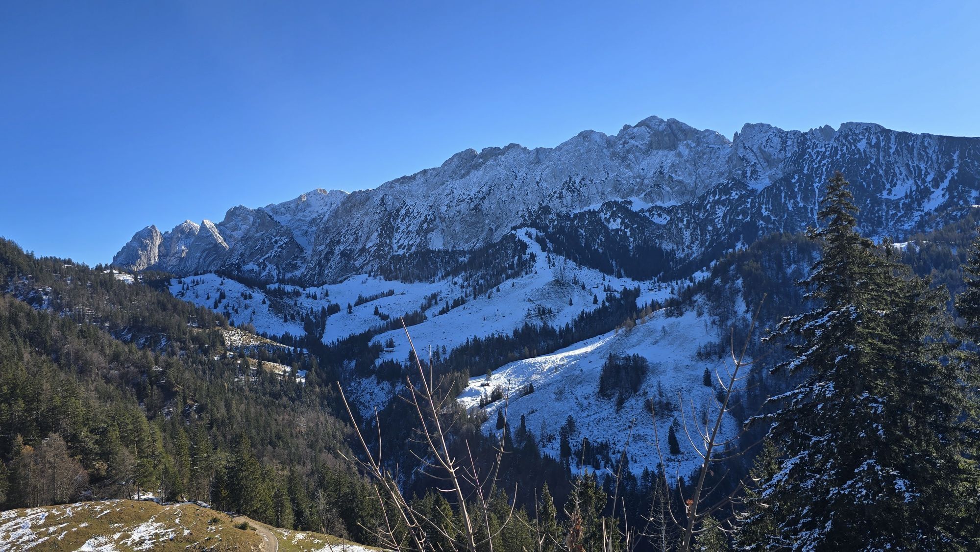
 © AlexanderErstellt am 20.12.2020
 © AlexanderErstellt am 20.12.2020
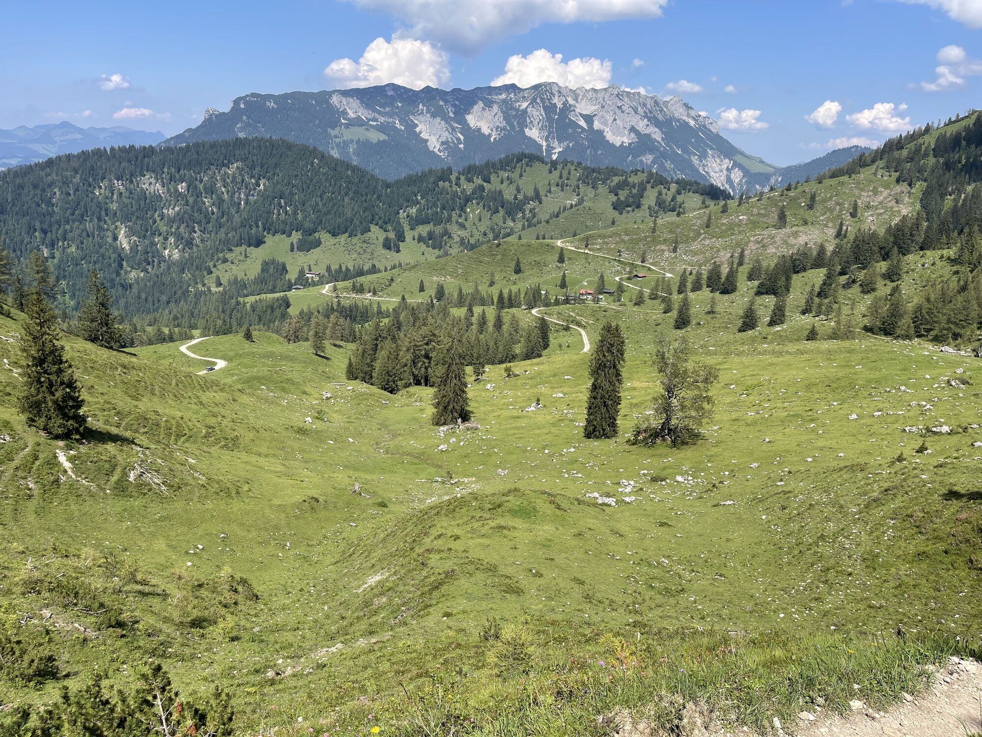
 © Markus KonzErstellt am 09.08.2025
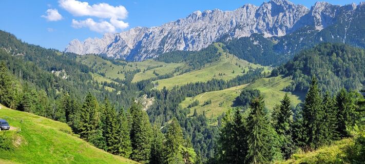 © Markus KonzErstellt am 09.08.2025
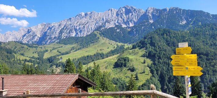 © Markus KonzErstellt am 09.08.2025
 © Markus KonzErstellt am 09.08.2025
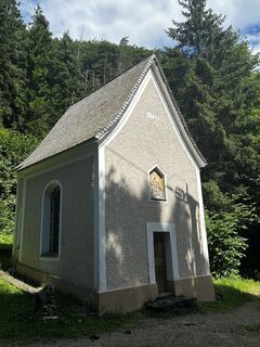
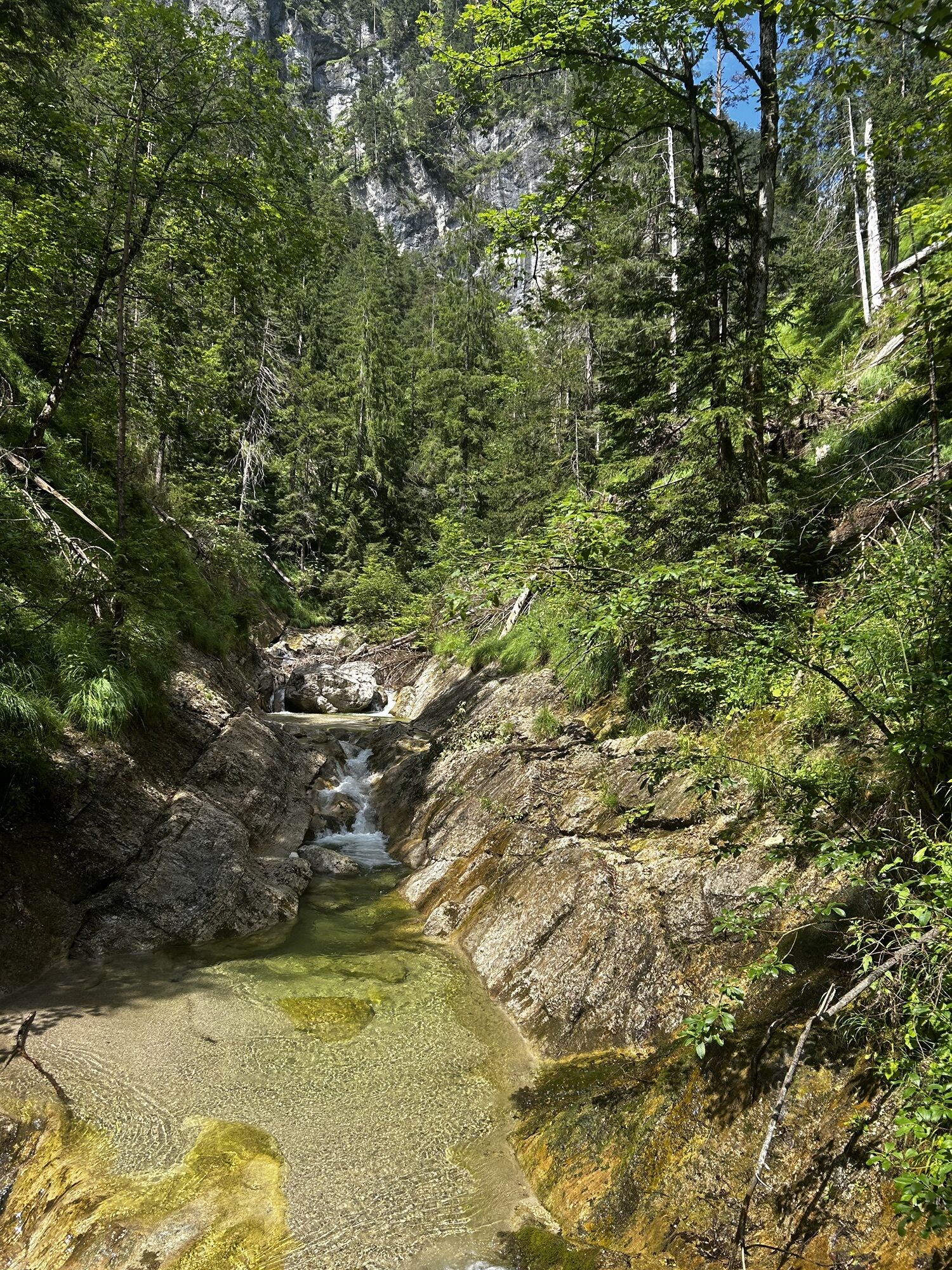
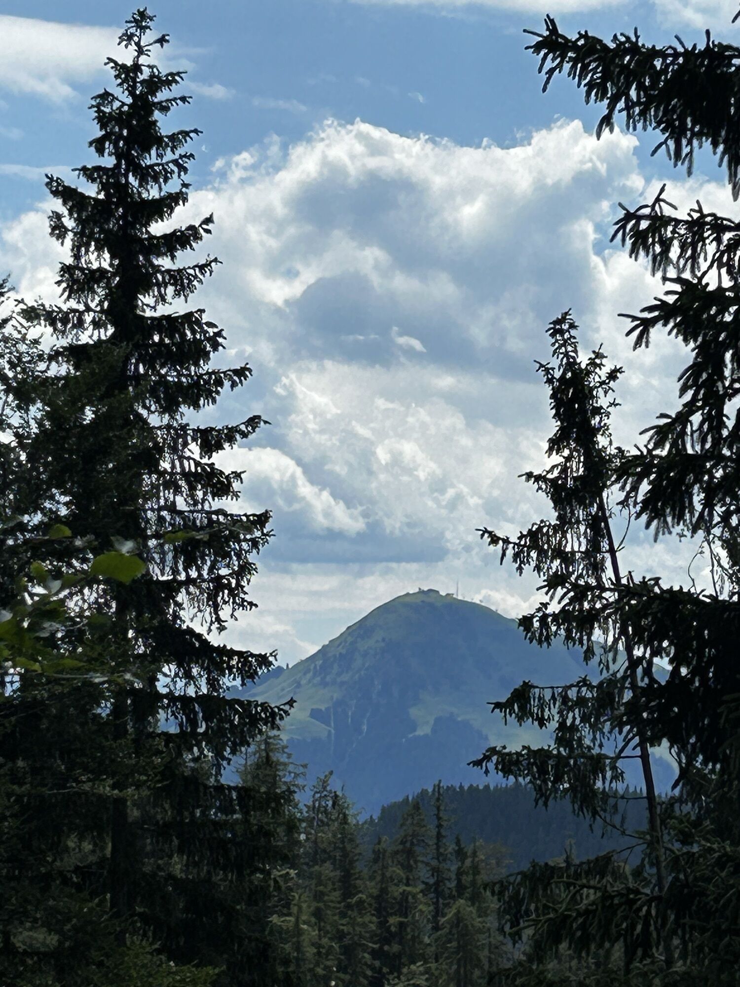
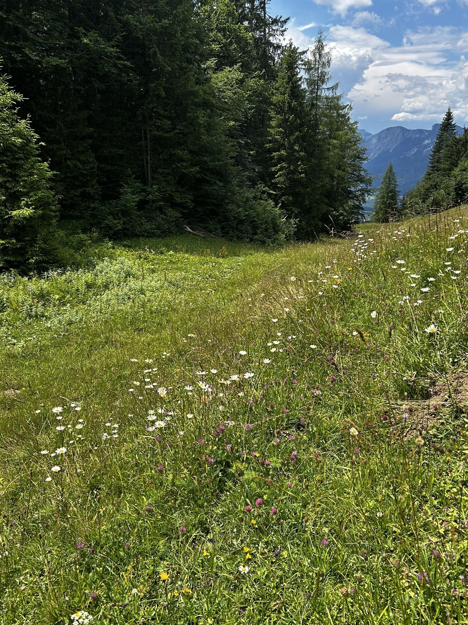
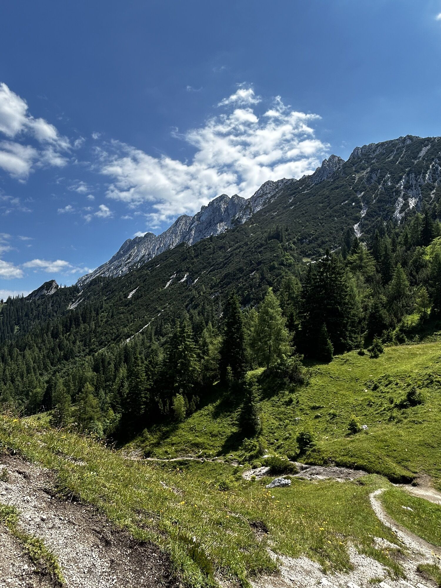
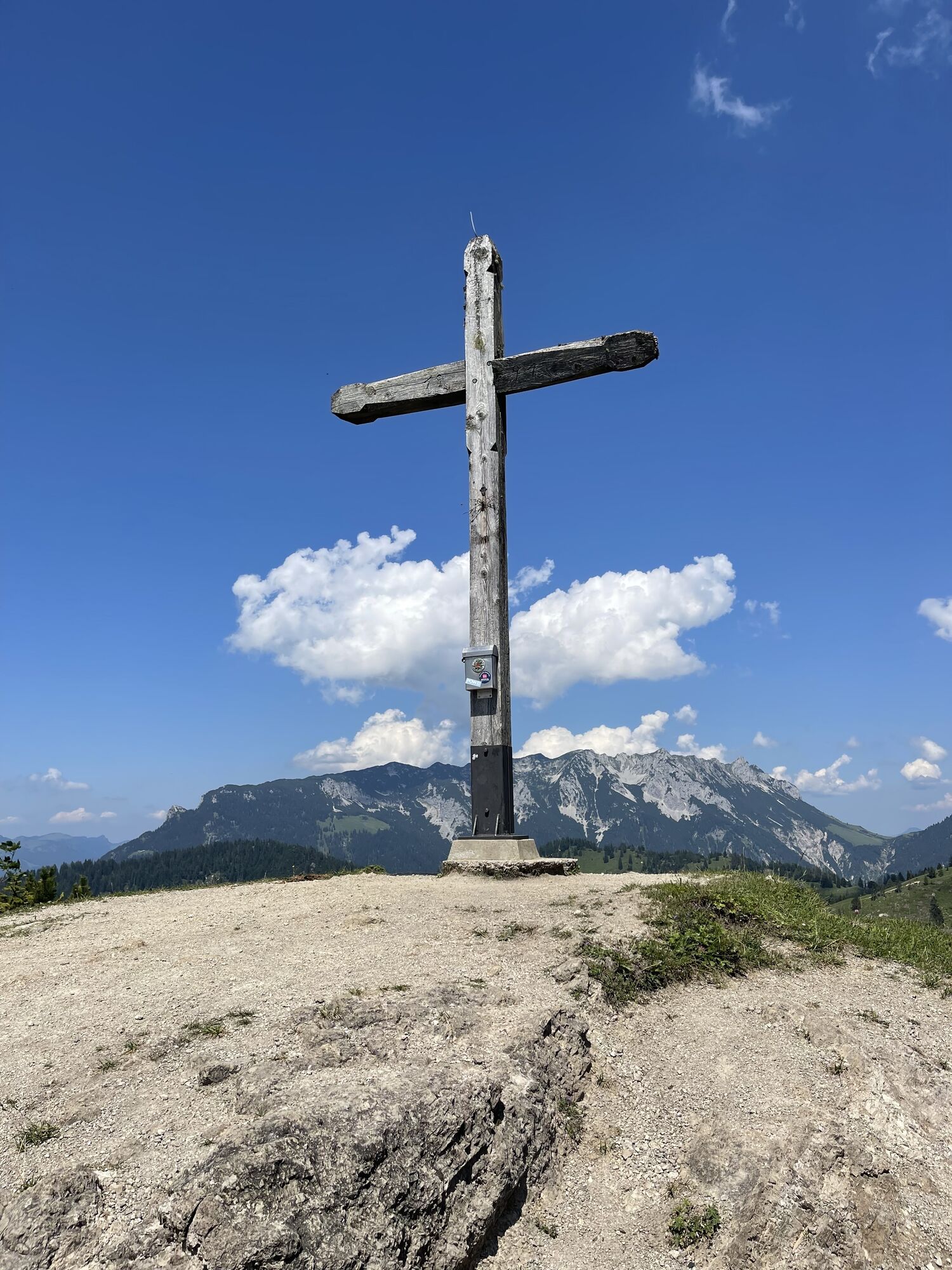
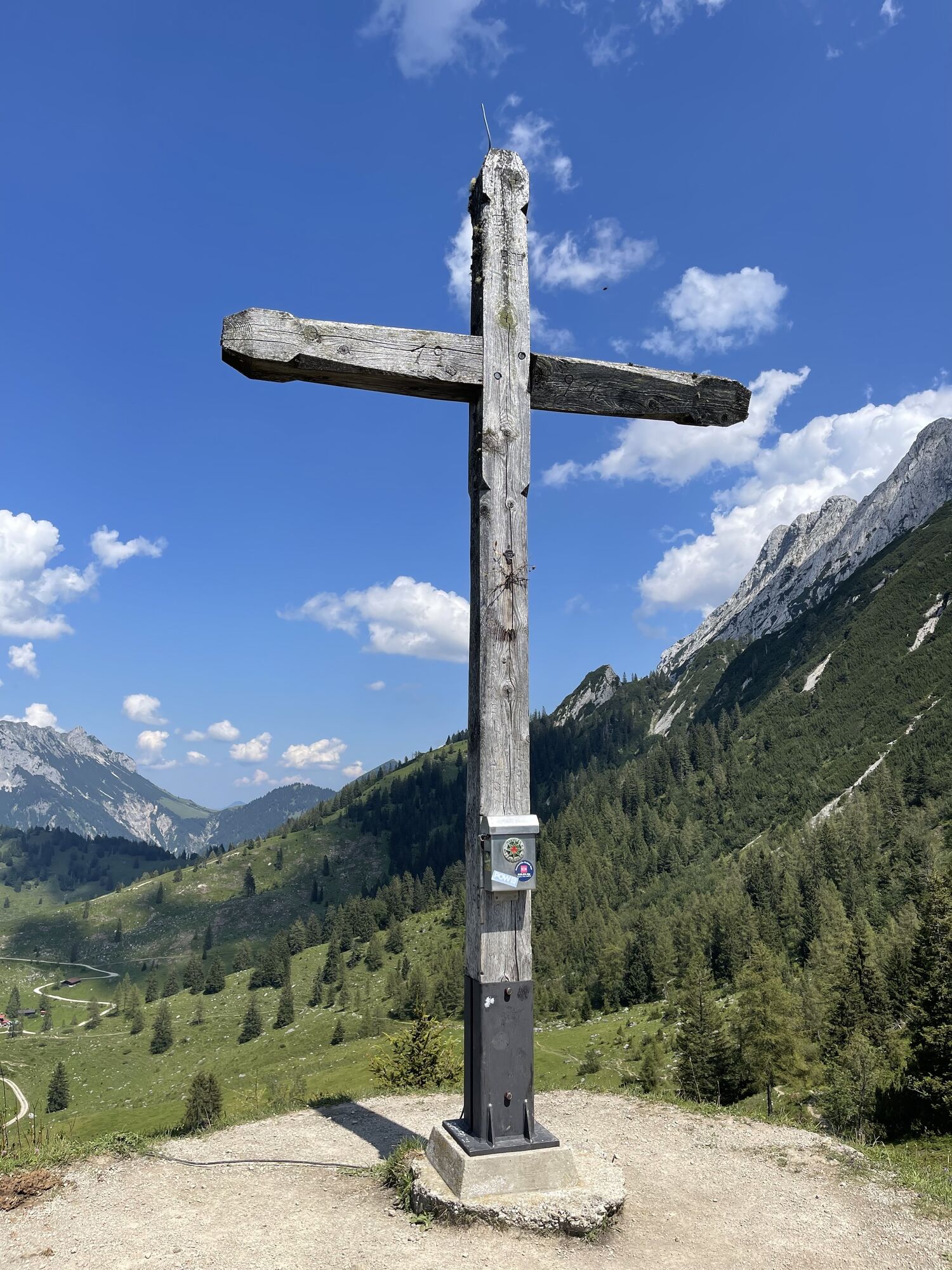
 © Katrin RupprechtErstellt am 13.07.2025
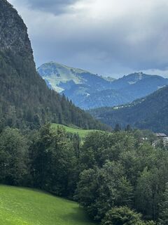 © Katrin RupprechtErstellt am 13.07.2025
 © Katrin RupprechtErstellt am 13.07.2025
 © Katrin RupprechtErstellt am 13.07.2025
 © Katrin RupprechtErstellt am 13.07.2025
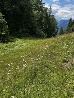 © Katrin RupprechtErstellt am 13.07.2025
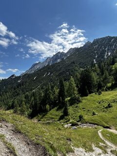 © Katrin RupprechtErstellt am 13.07.2025
 © Katrin RupprechtErstellt am 13.07.2025
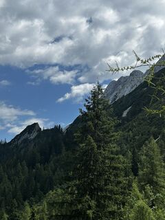 © Katrin RupprechtErstellt am 13.07.2025
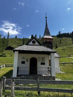 © Katrin RupprechtErstellt am 13.07.2025
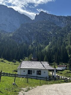 © Katrin RupprechtErstellt am 13.07.2025
 © Katrin RupprechtErstellt am 13.07.2025
 © Katrin RupprechtErstellt am 13.07.2025
 © Katrin RupprechtErstellt am 13.07.2025
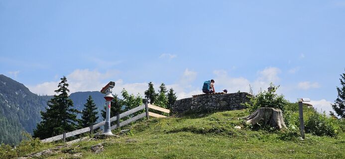
 © garrinchaErstellt am 17.06.2025
 © garrinchaErstellt am 17.06.2025
 © garrinchaErstellt am 17.06.2025
 © garrinchaErstellt am 13.06.2025
 © garrinchaErstellt am 13.06.2025
 © garrinchaErstellt am 13.06.2025
 © garrinchaErstellt am 13.06.2025
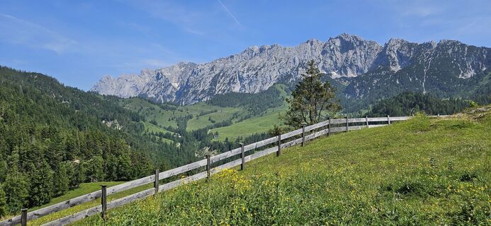 © garrinchaErstellt am 13.06.2025
 © garrinchaErstellt am 13.06.2025
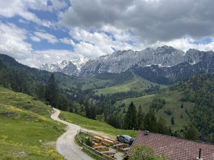
 © Irina GulinErstellt am 24.05.2025
 © Irina GulinErstellt am 24.05.2025
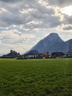
 © Porpáczy SzabinaErstellt am 05.04.2025
 © se_muckErstellt am 01.12.2024
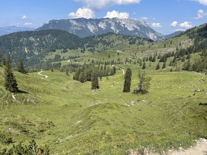
 © Marina IErstellt am 21.07.2024
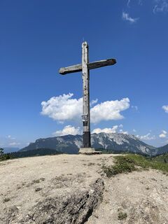 © Marina IErstellt am 21.07.2024
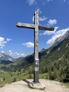 © Marina IErstellt am 21.07.2024
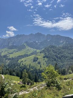 © Marina IErstellt am 21.07.2024
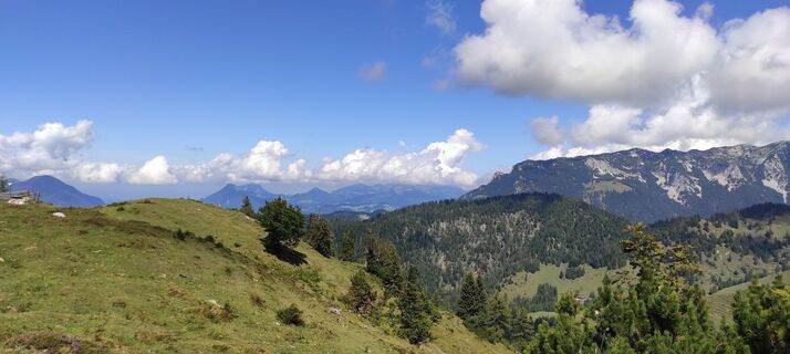
 © Wolfgang KleeweinErstellt am 29.08.2022
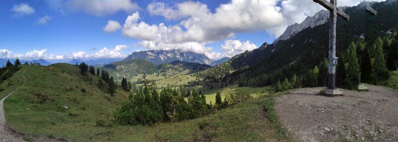 © Wolfgang KleeweinErstellt am 29.08.2022
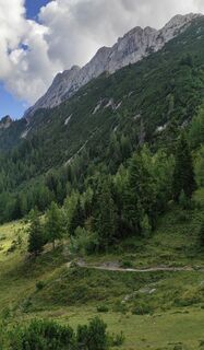 © Wolfgang KleeweinErstellt am 29.08.2022
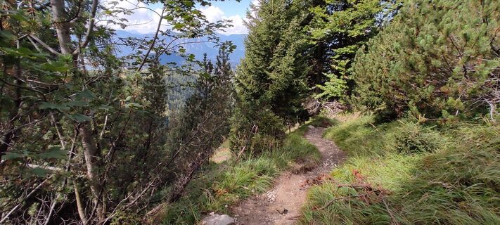 © Wolfgang KleeweinErstellt am 29.08.2022
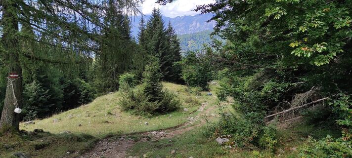 © Wolfgang KleeweinErstellt am 29.08.2022
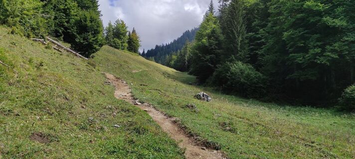 © Wolfgang KleeweinErstellt am 29.08.2022
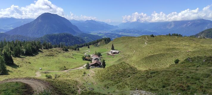 © Wolfgang KleeweinErstellt am 29.08.2022
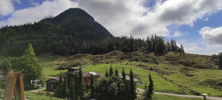 © Wolfgang KleeweinErstellt am 29.08.2022
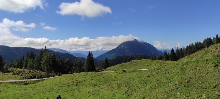 © Wolfgang KleeweinErstellt am 29.08.2022
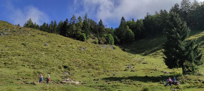 © Wolfgang KleeweinErstellt am 29.08.2022
 © Andreas DeckertErstellt am 17.06.2023


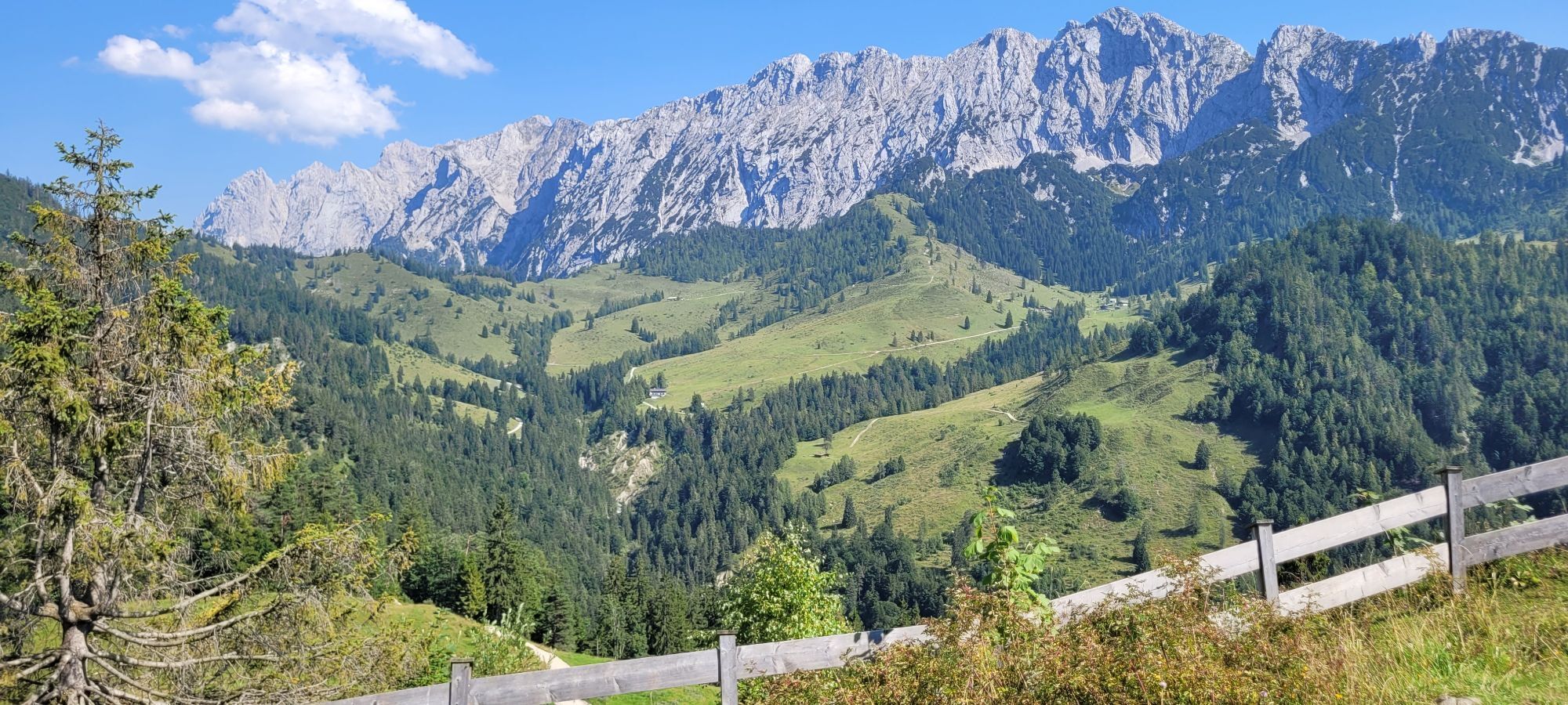


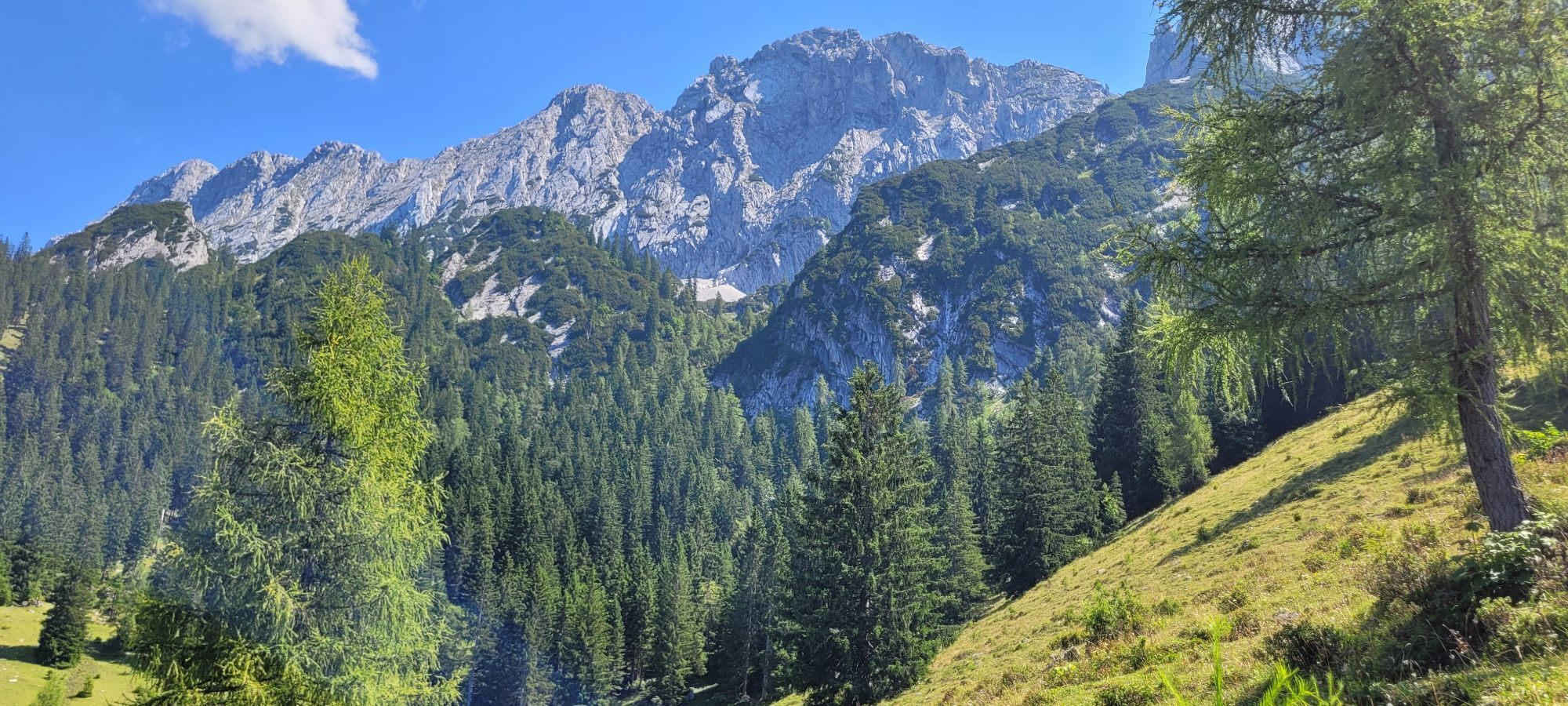
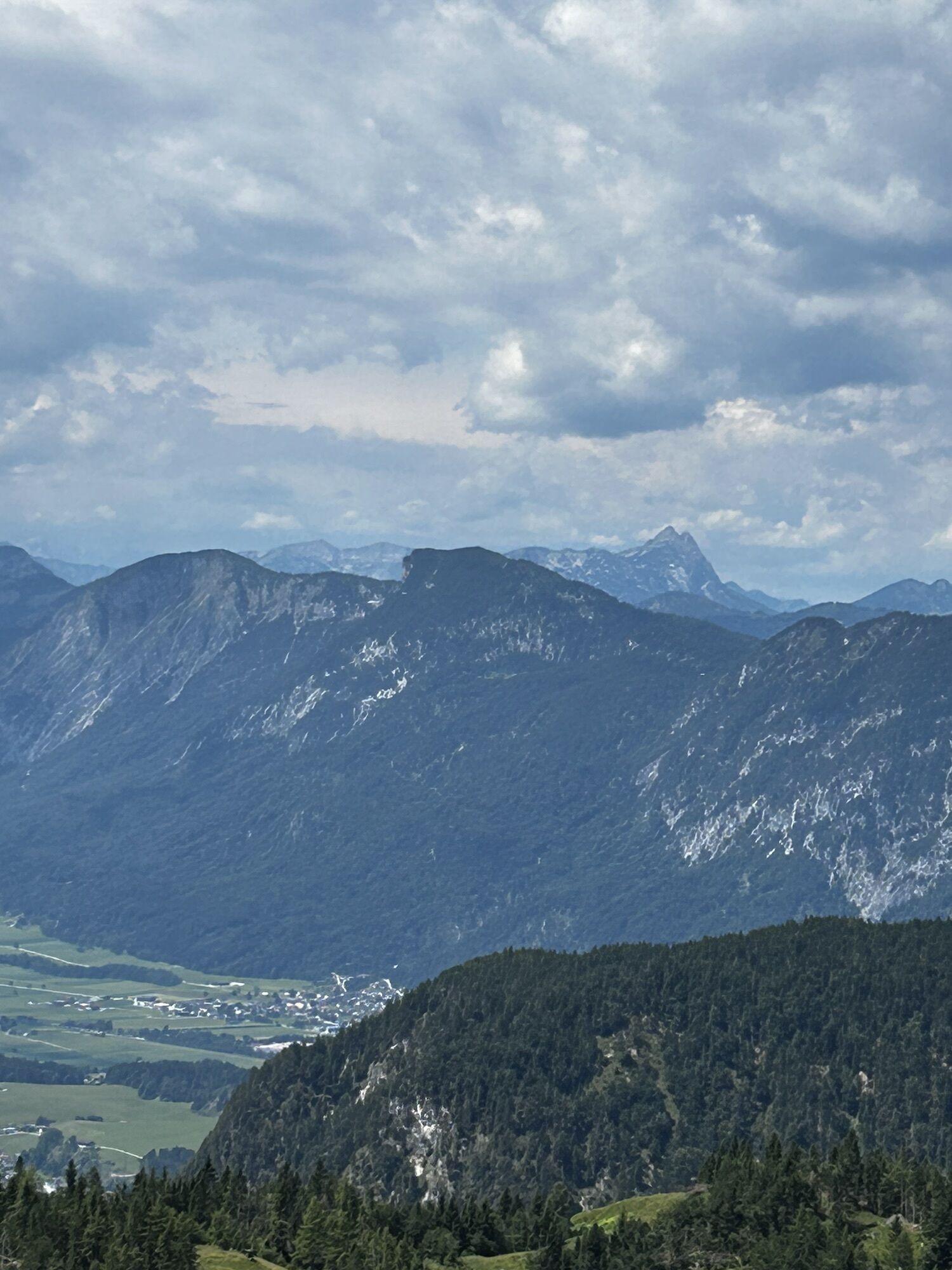
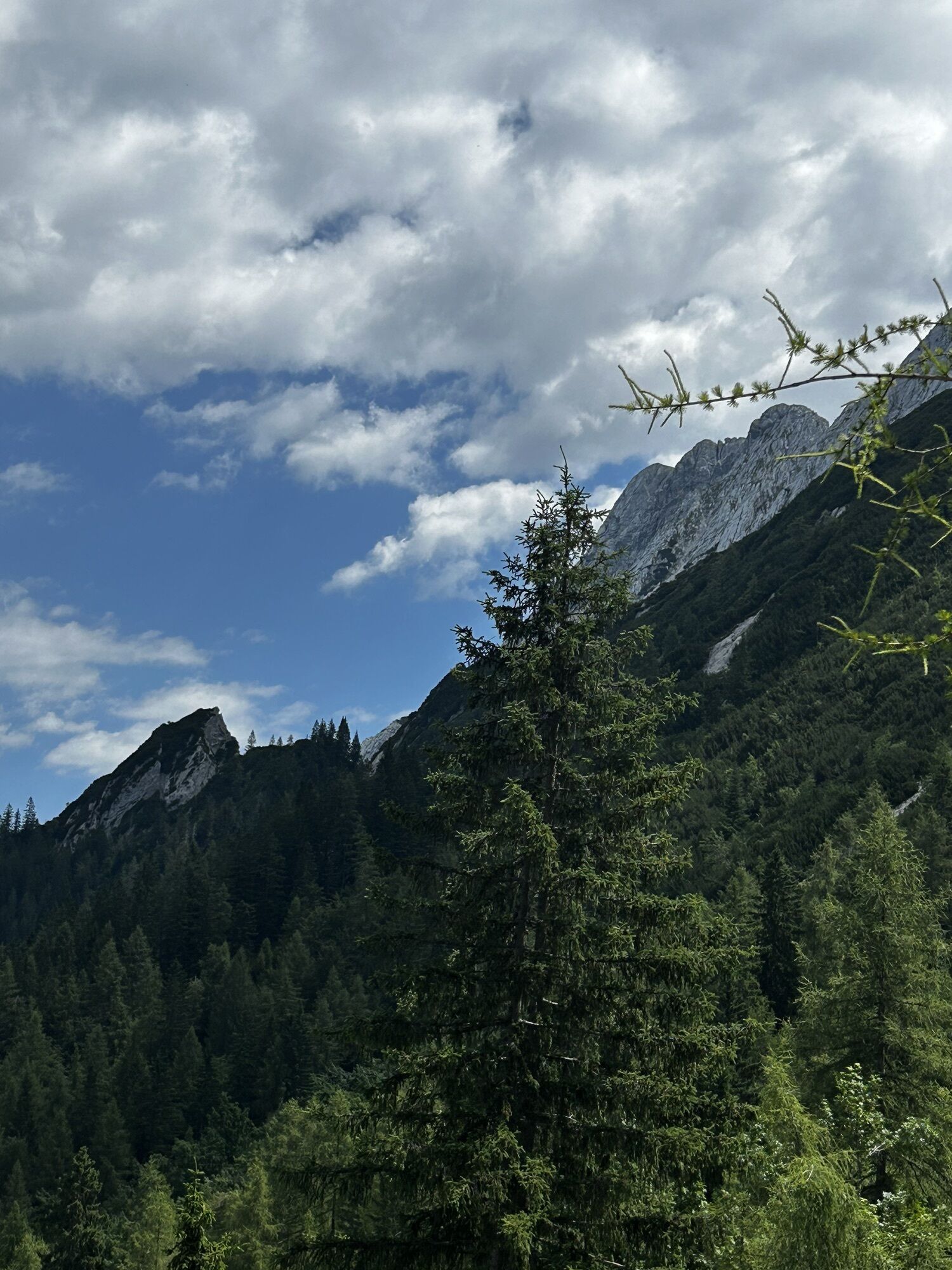


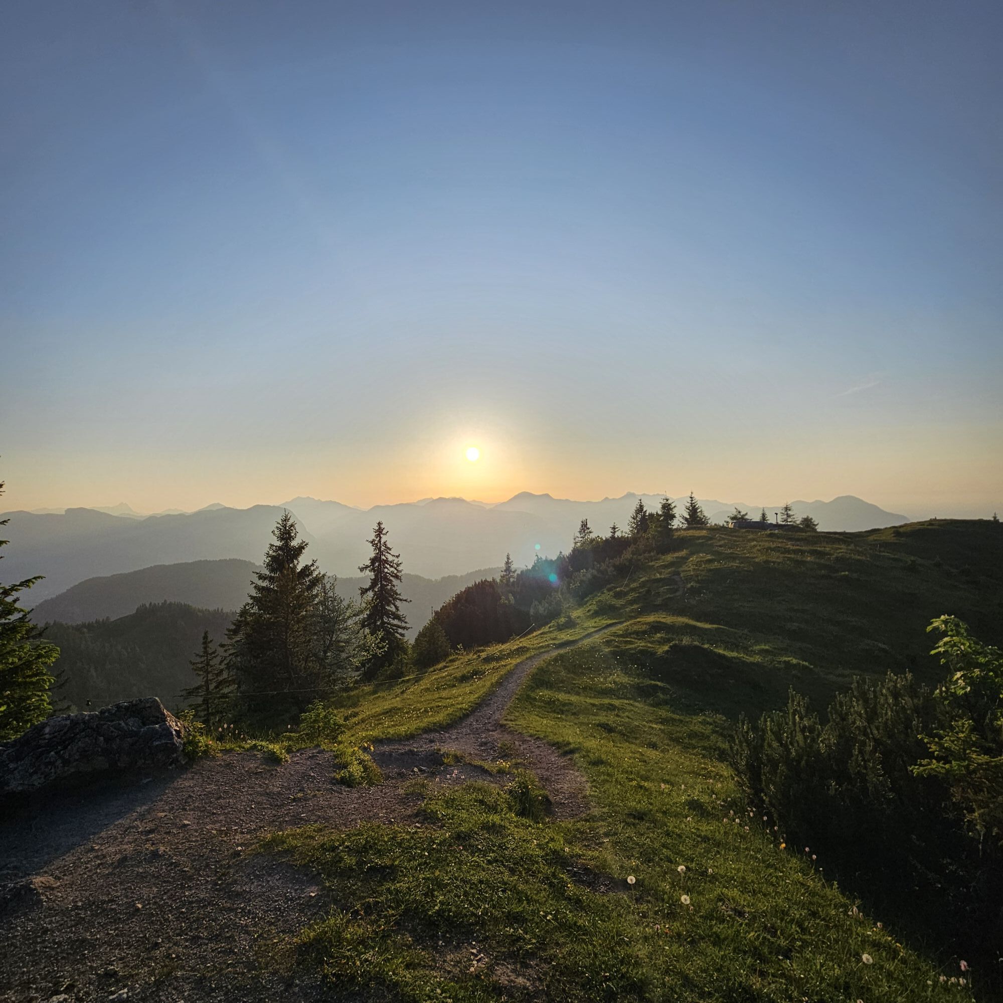
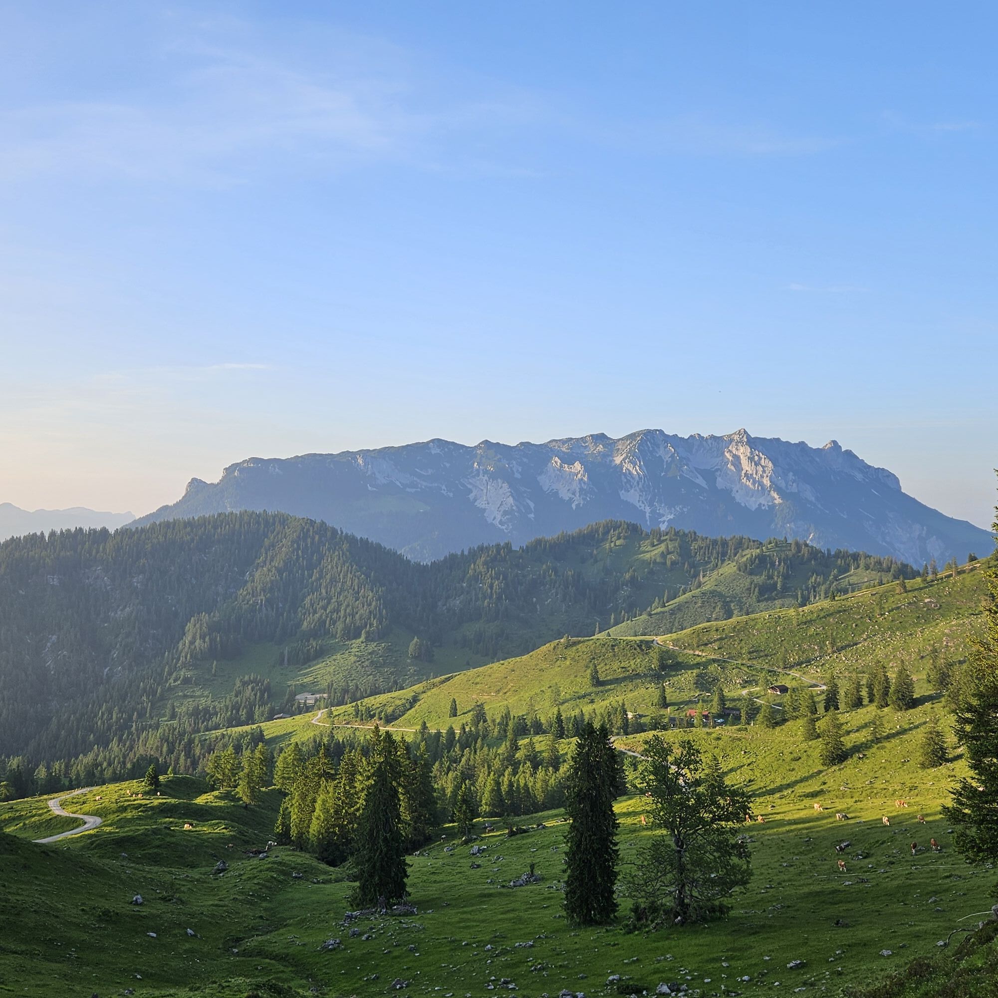
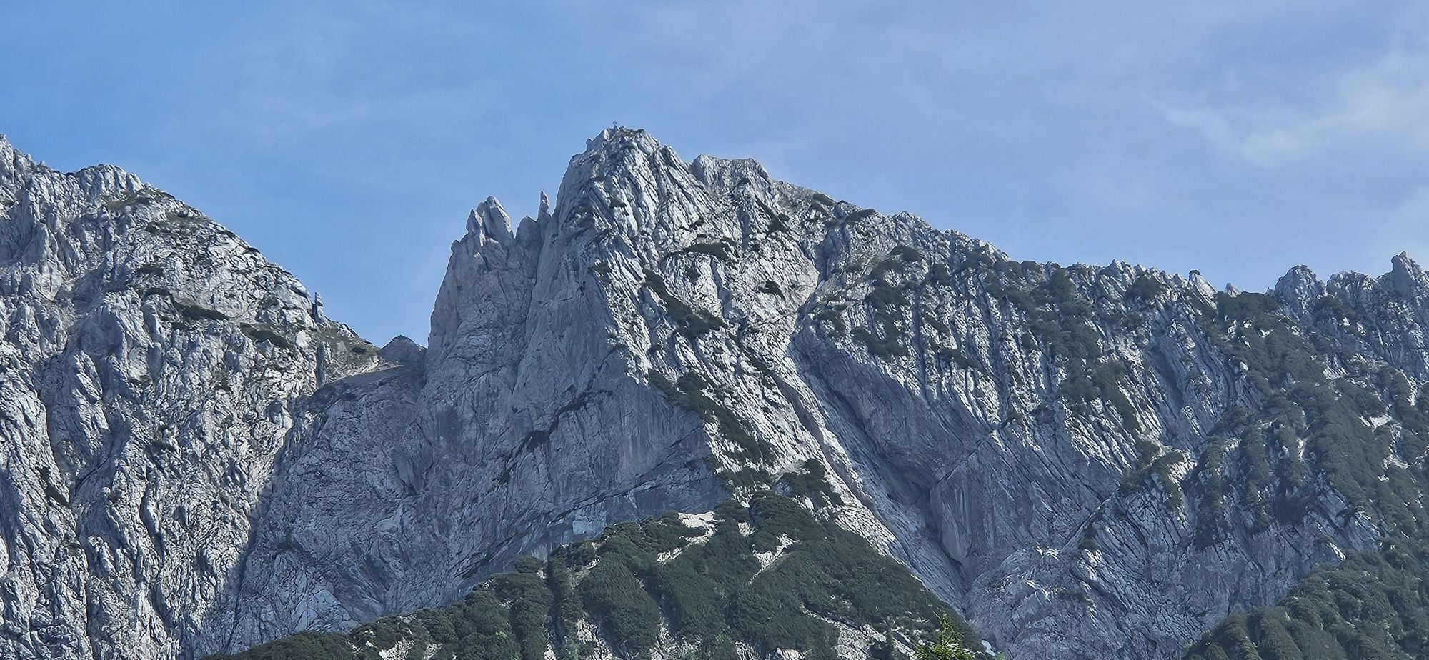


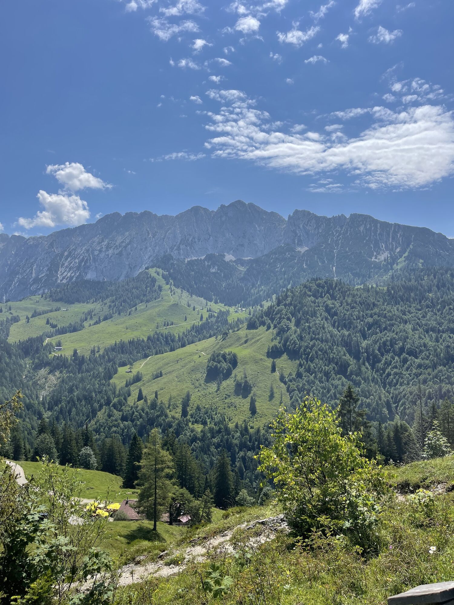
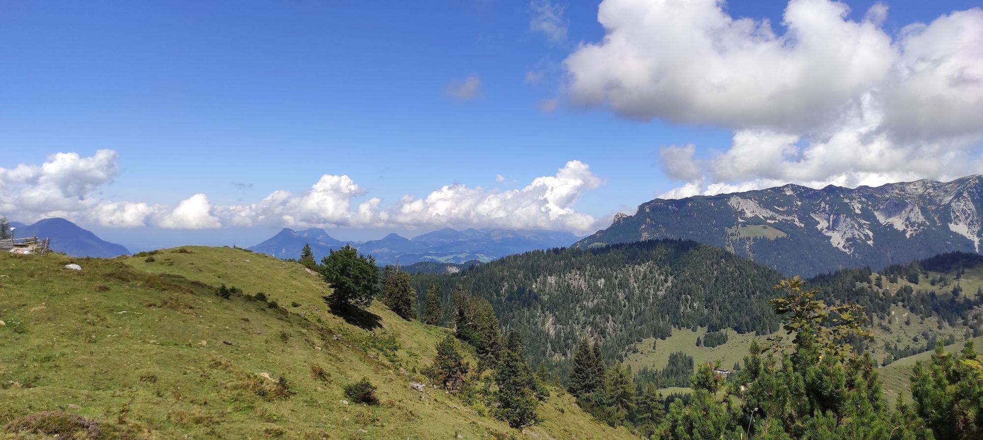
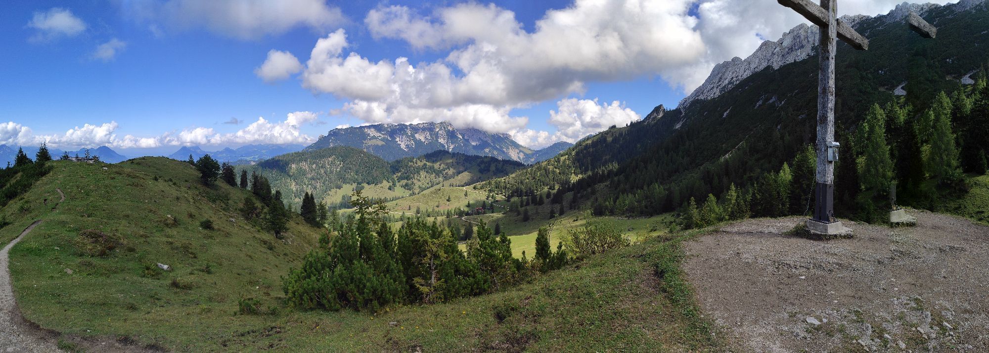
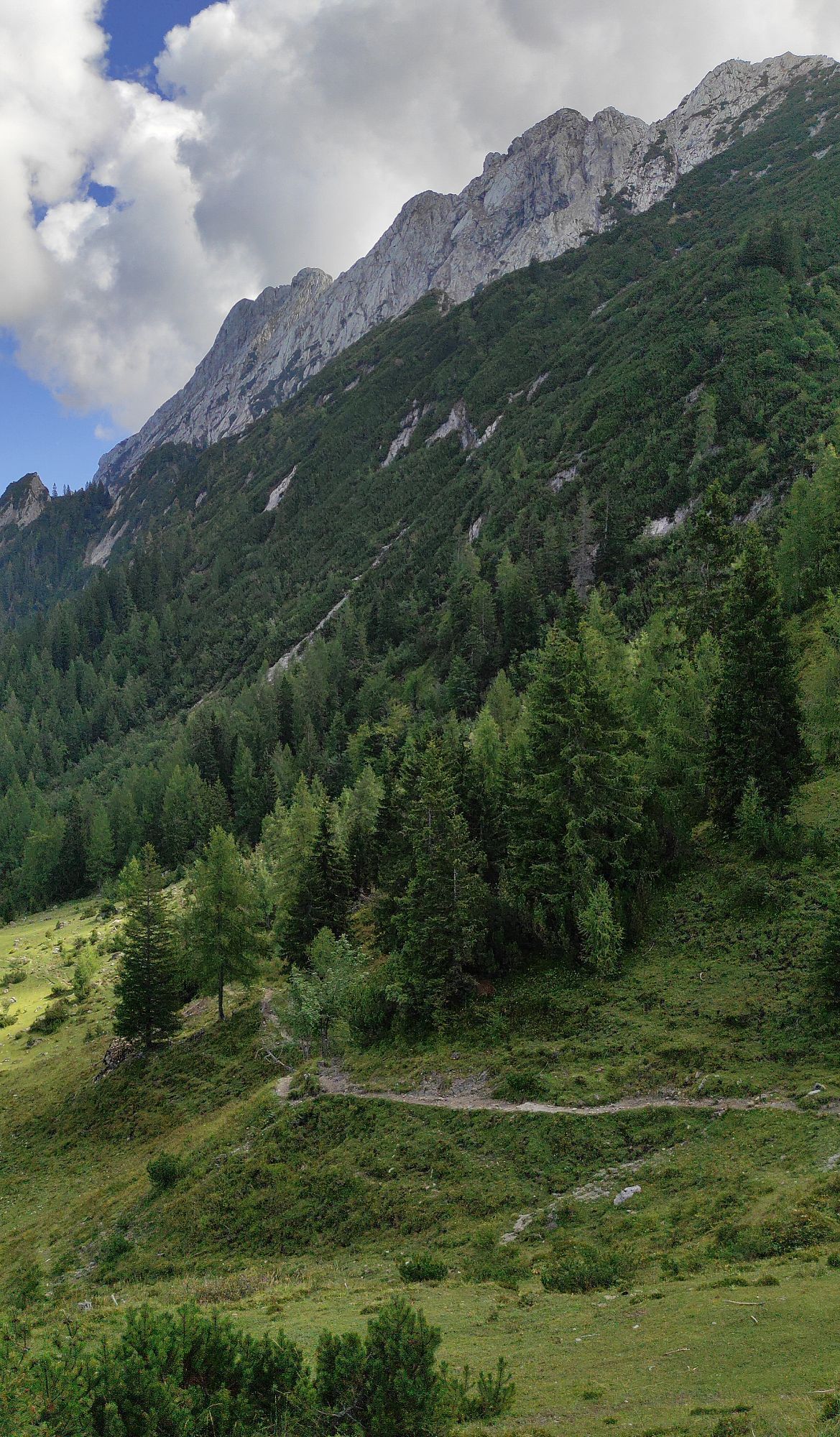


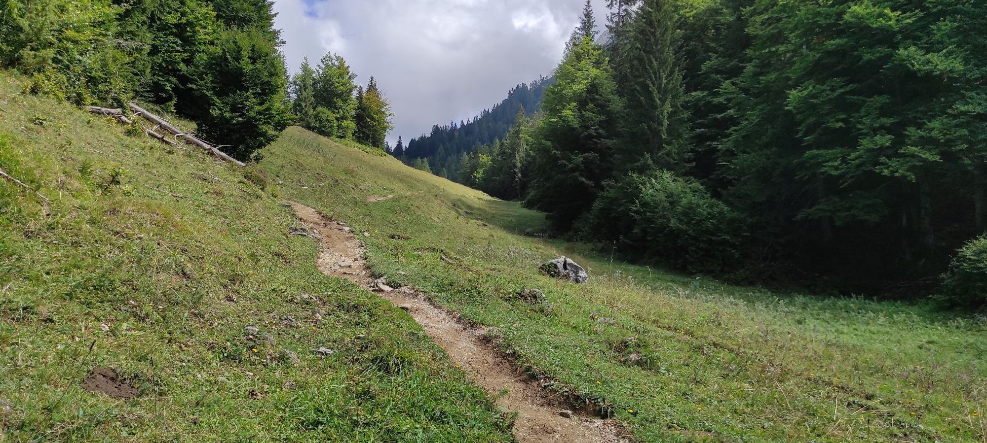


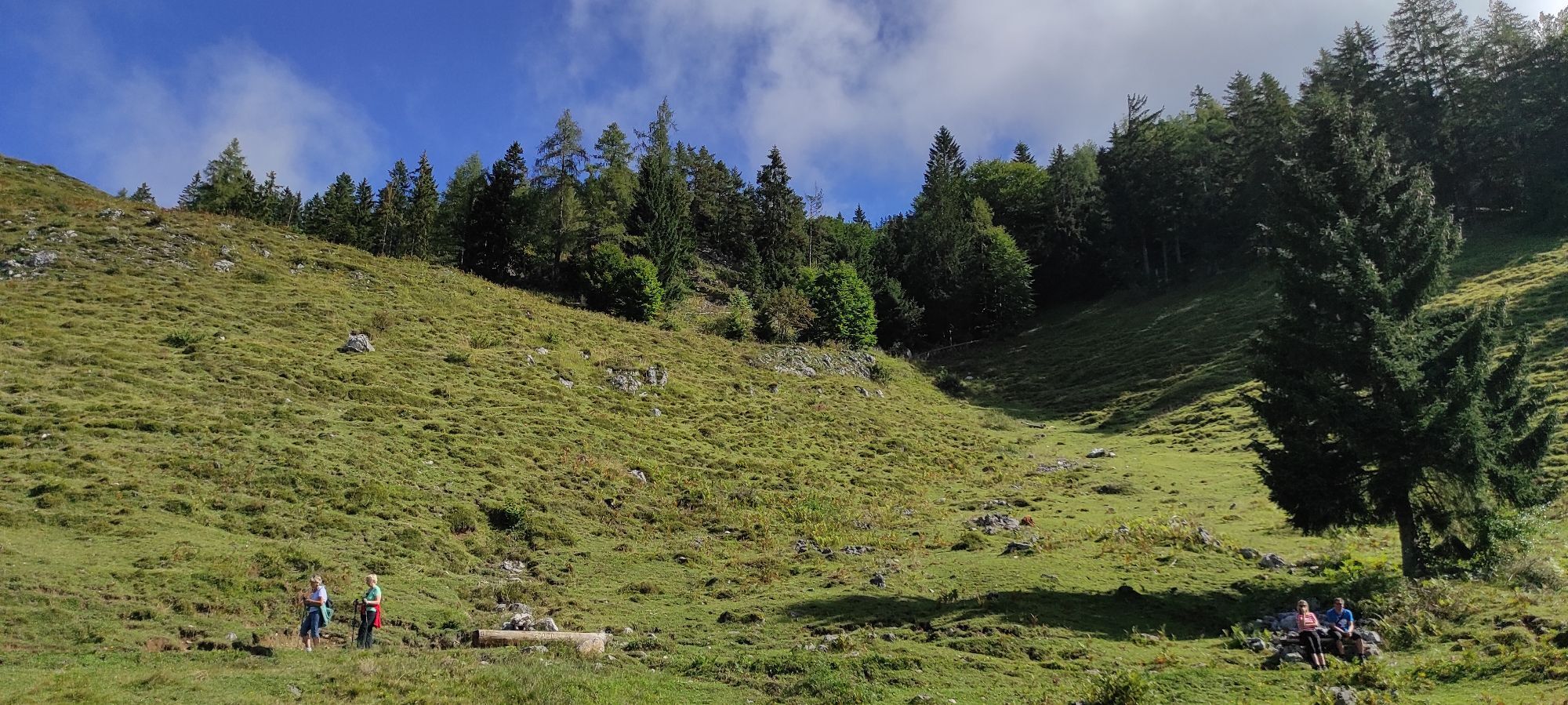
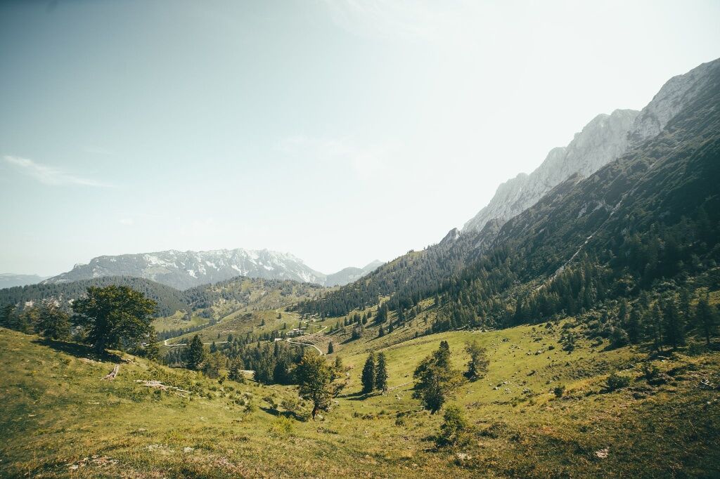
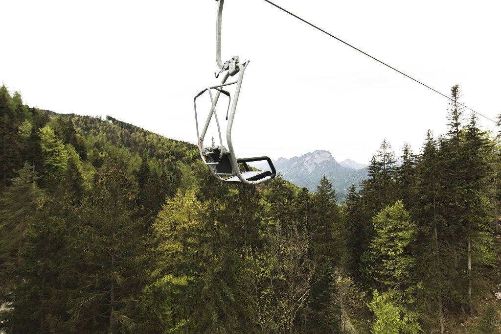
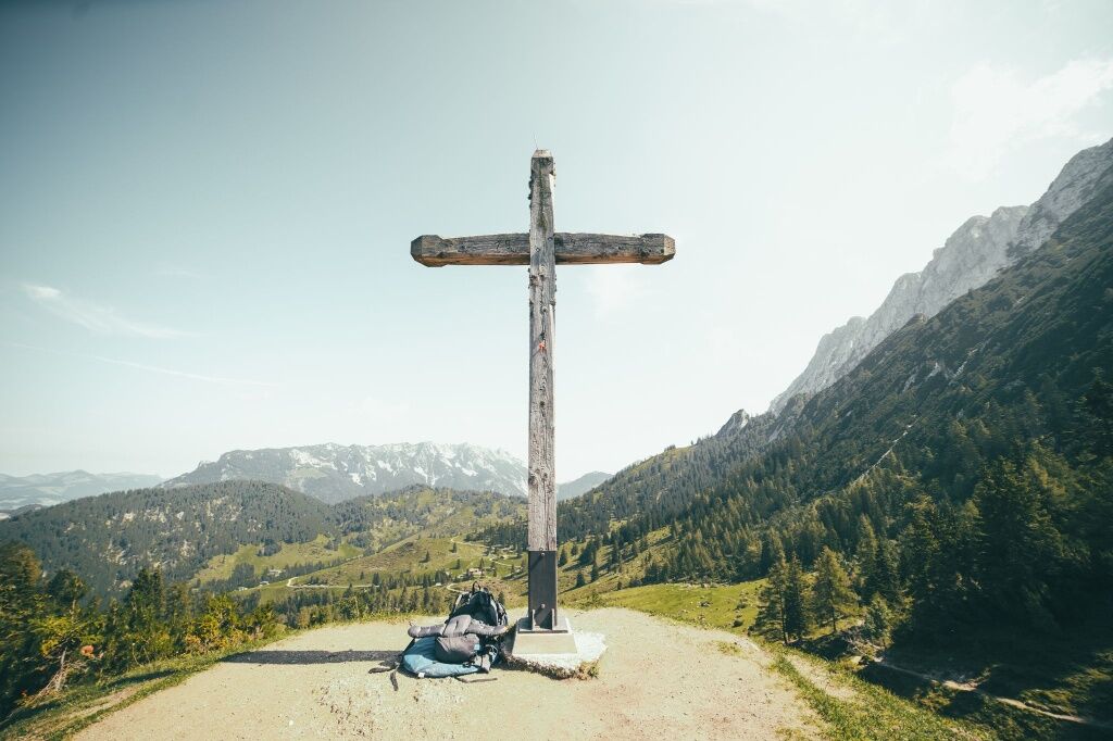
From the top station of the Kaiserlift, this tour leads via the Steinberg alms to the "Ridge Walk" power place. Take a look through the "Viscope" at the surrounding mountains before continuing to Walleralm...
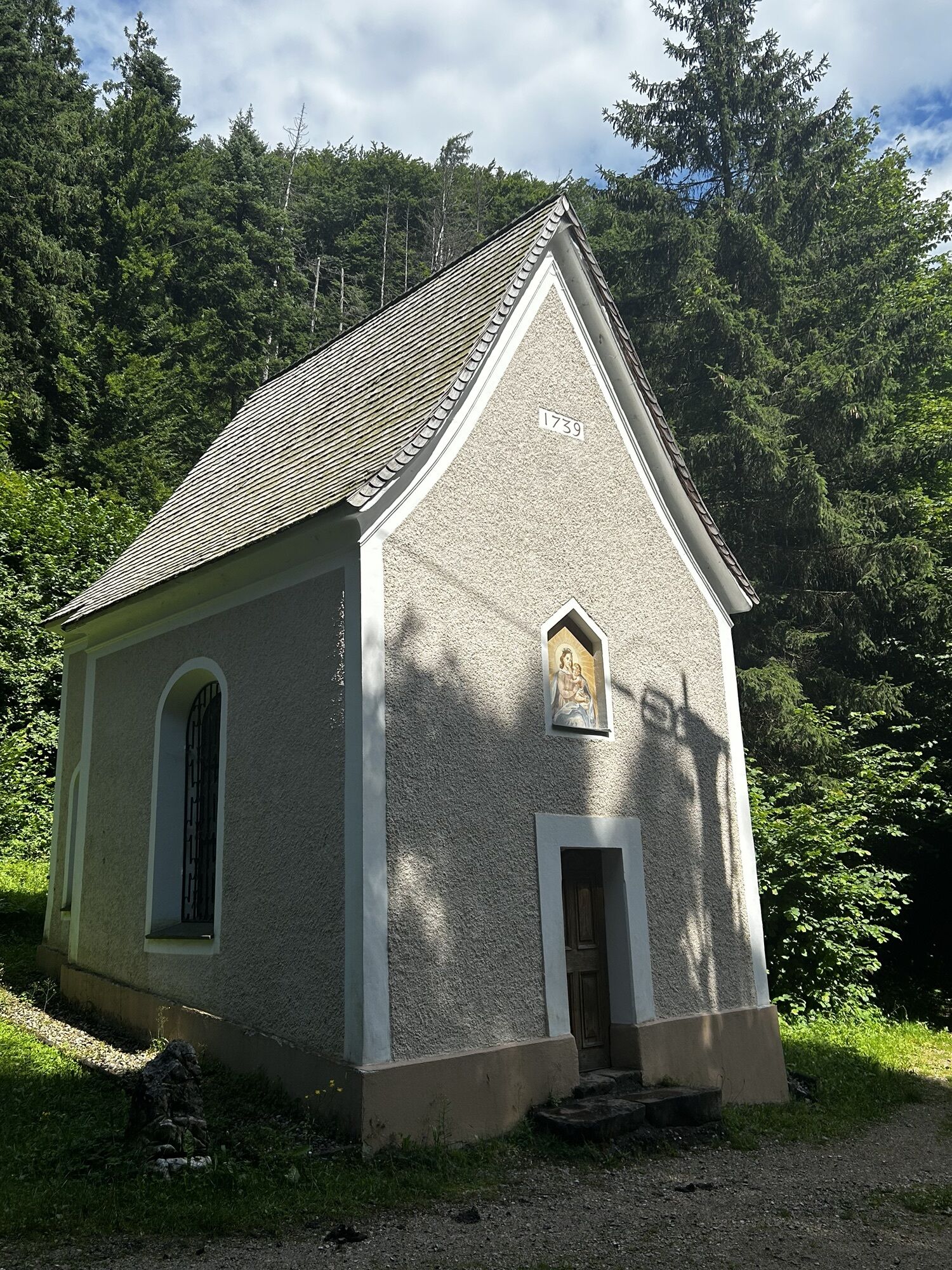
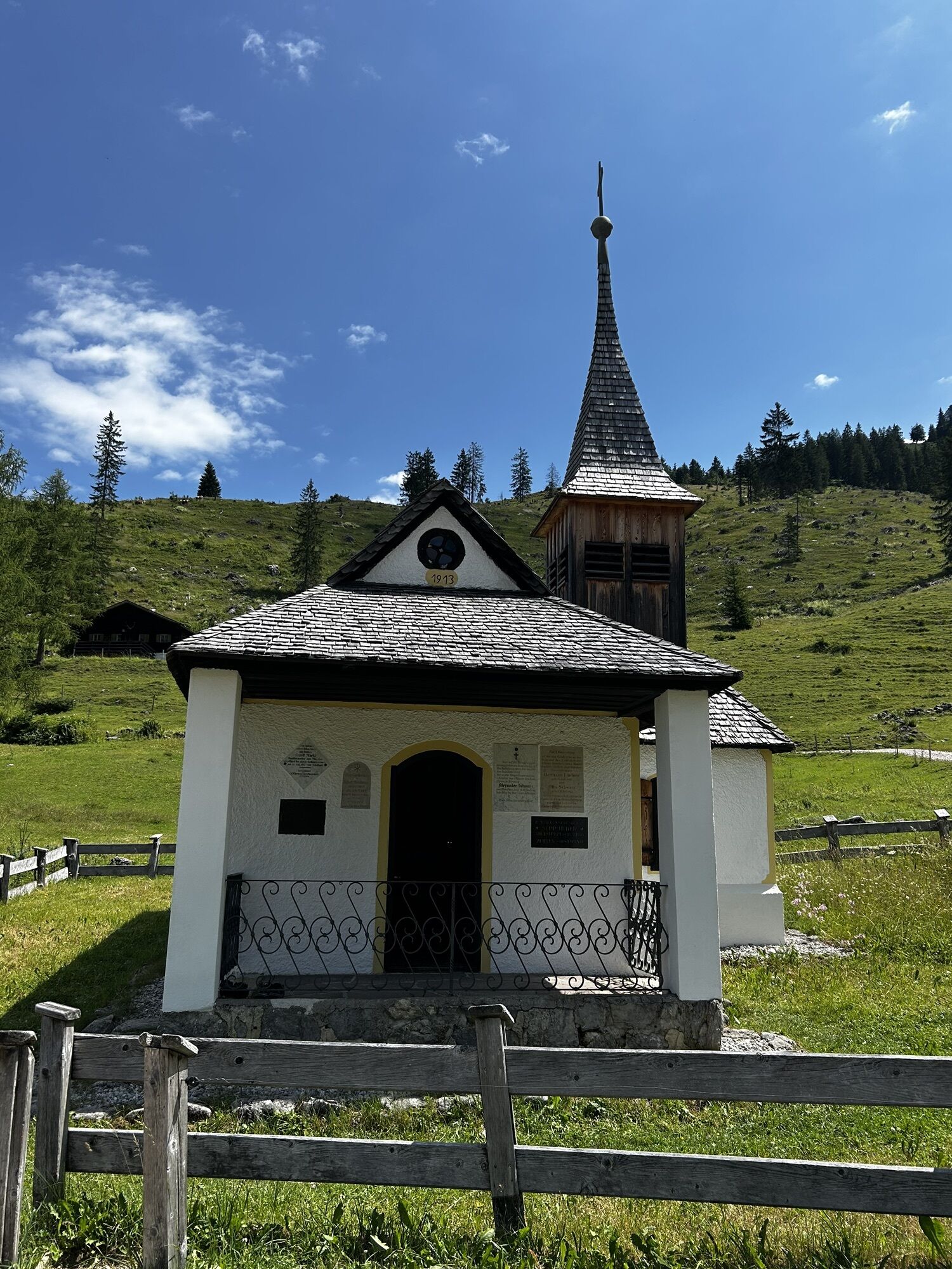
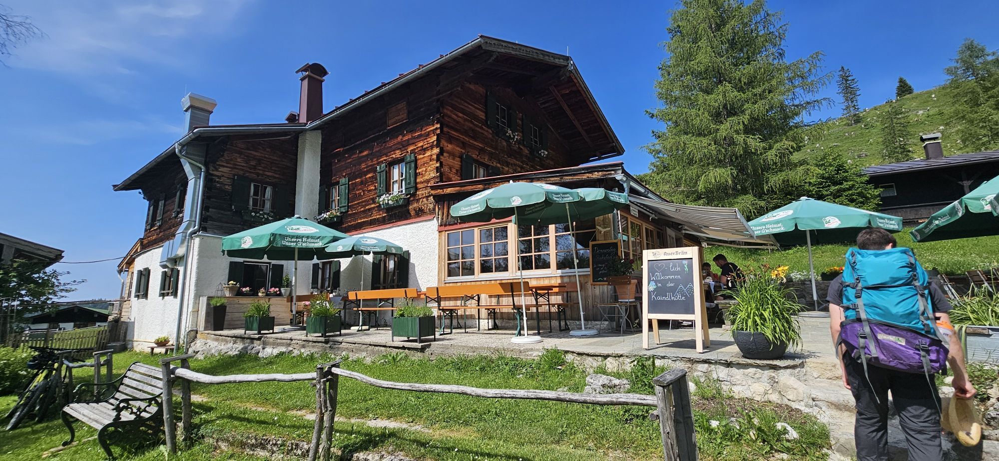
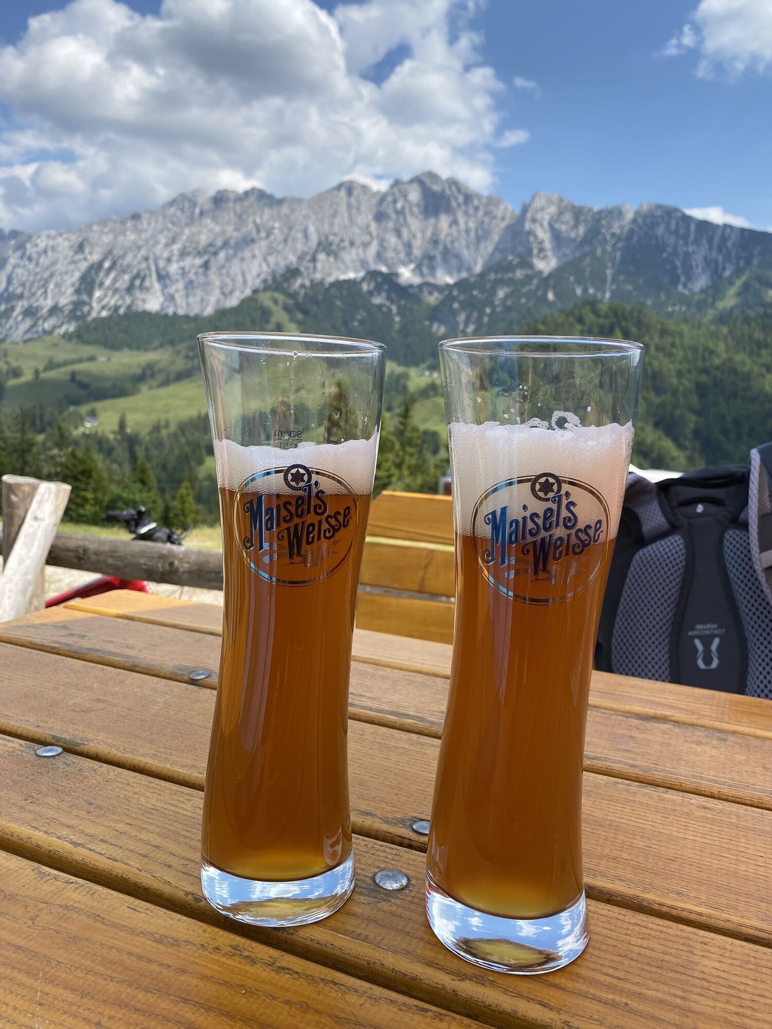
From the top station of the Kaiserlift, this tour leads via the Steinberg alms to the "Ridge Walk" power place. Take a look through the "Viscope" at the surrounding mountains before continuing to Walleralm for a delicious Kaspressknödel (flat fried cheese dumplings) soup. The descent back into the valley takes you past Locherer chapel and back to Kufstein.
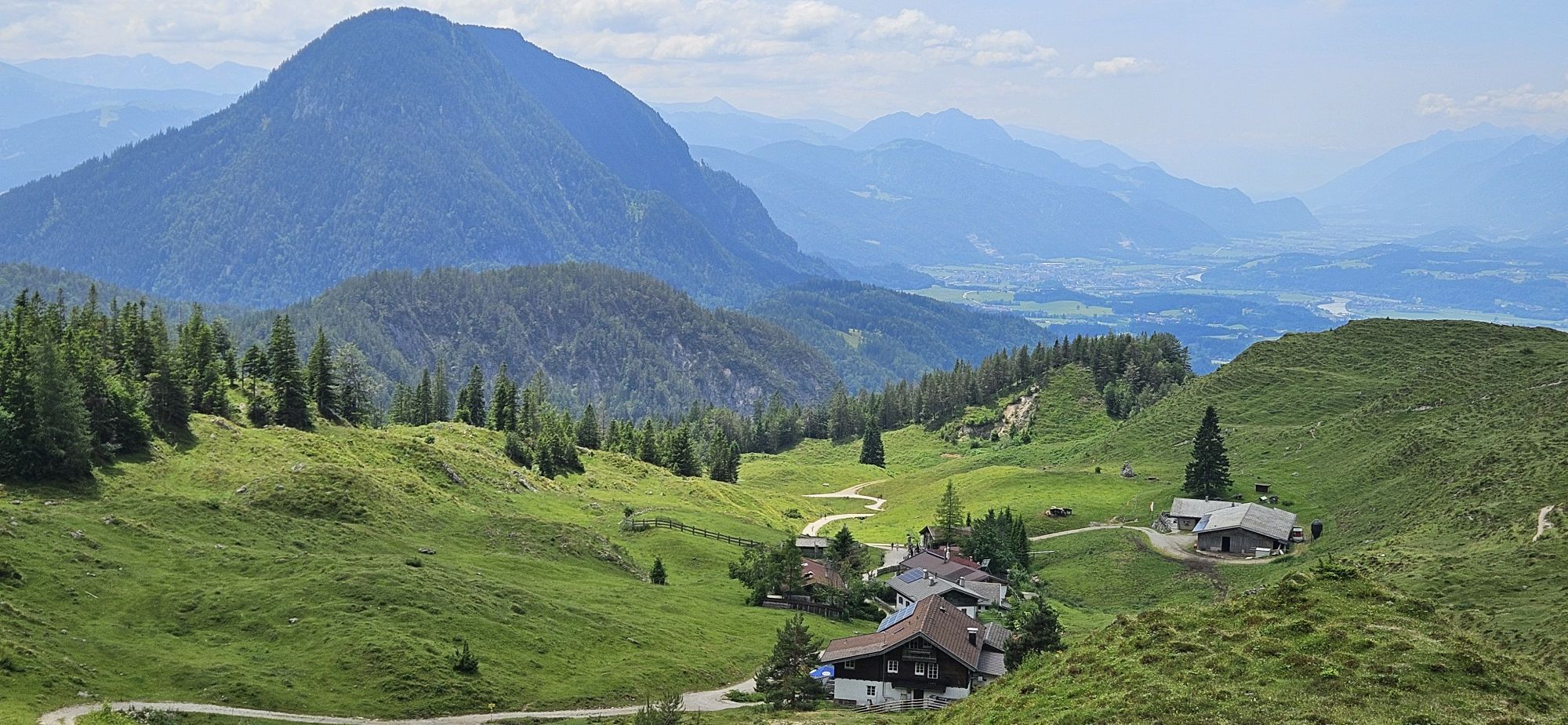
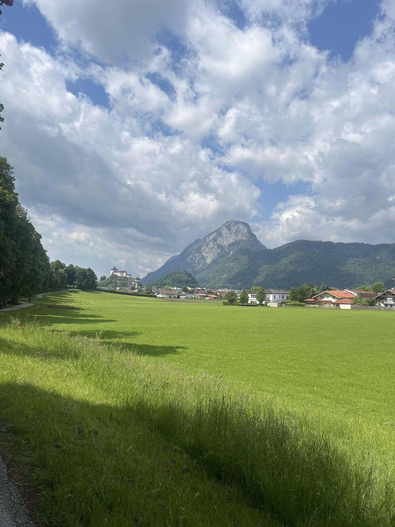
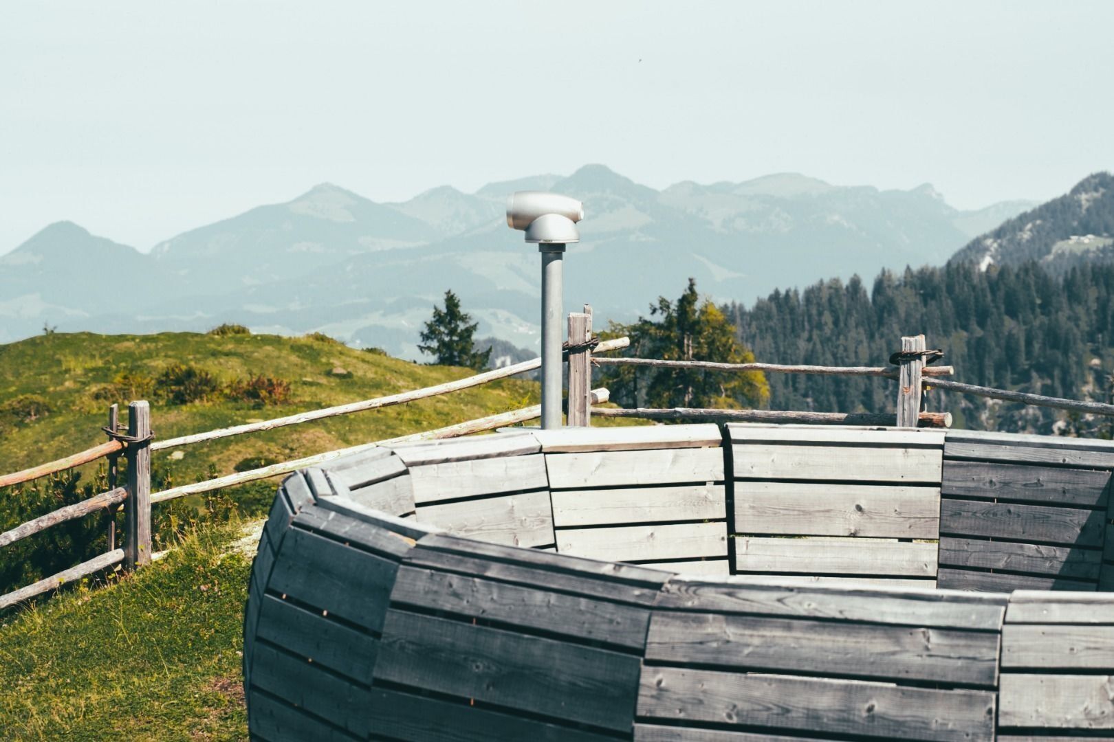
Starting at the summit station we hike along the alp path to the alp village where we spend a moment to recollect ourselves at the chapel. Afterwards the short ascent to the Hocheck begins. After about one and a half hours we take a rest at the power place "Gratwanderung" and take a look through the telescope to the surrounding mountains. The following descent to the Walleralm takes about one hour. The descent in the valley leads in the direction of Eiberg-Bundesstraße, where we can hop on the bus which takes us back to Kufstein. The second opportunity is to take the route past the "Locherer Kapelle" to the lookout Hochwacht to Kufstein. Afterwards you follow the path along the edge of the city until you reach the Kaiserlift station (takes about 2 hours longer).
Snacks (e.g. fruit, muesli bars, wholemeal breads) and drinks (allow for sufficient liquid)
First aid equipment
Mobile phone with full battery
Hiking map and guide literature
Sun protection (sun cream and glasses, cap)
Bivouac bag
Arrival is possible by car to the paid parking lot of the Kaiserlift.
With the KufsteinerlandCard within the region bus free of charge.
Talstation Kaiserlift, subject to a charge.
Beliebte Touren in der Nähe
- 4,5
Über Hintersteinersee und Walleralm aufs Hochegg
leichtWanderung 12,2 km - 4,7
Musikantensteig zur Naunspitze
mittelWanderung 8,96 km - 4,2
Bergdoktor Wohnhaus "Gruberhof" (Köpfing Hof) Rundeweg-Söll
leichtWanderung 8,70 km - 4,5
Wanderung um den Hintersteinersee
leichtWanderung 5,29 km - 3,3
Kaisertal Rund-Wanderung
mittelWanderung 13,9 km - 4,7
Hintersteinersee
mittelWanderung 9,87 km - 4,9
Ellmauer Tor (22.07.2020)
mittelWanderung 9,32 km - 4,5
Jubiläumssteig Kaisergrbirge
leichtKlettersteig 6,29 km - 4,3
Walchsee - Heuberg
mittelWanderung 11,4 km - 5,0
Gruttenhütte über Klammlweg
mittelWanderung 5,61 km

Wandern & Tracking


Verpasse keine Angebote und Inspirationen für deinen nächsten Urlaub
Deine E-Mail-Adresse wurde in den Verteiler eingetragen.