







19 - Short and Long Ground
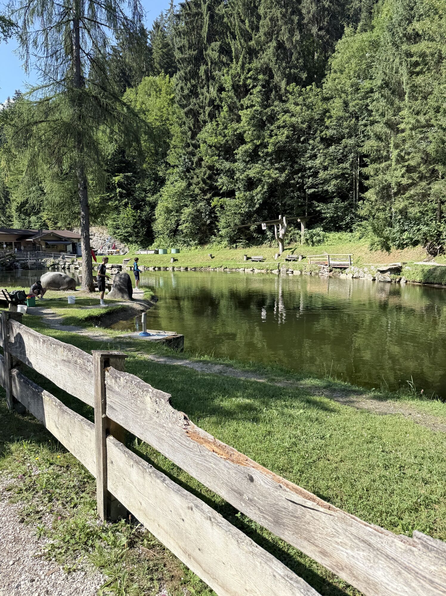
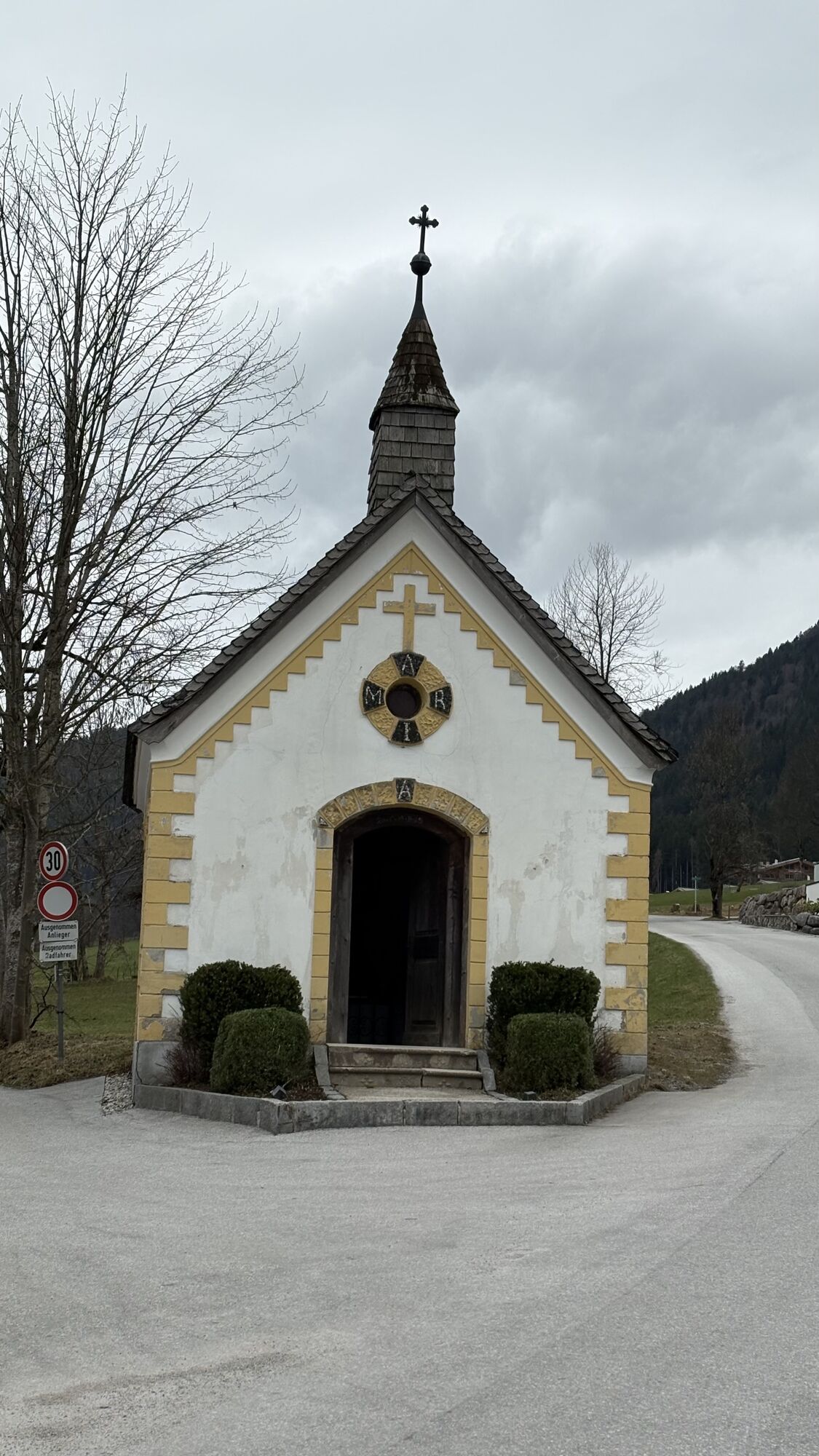
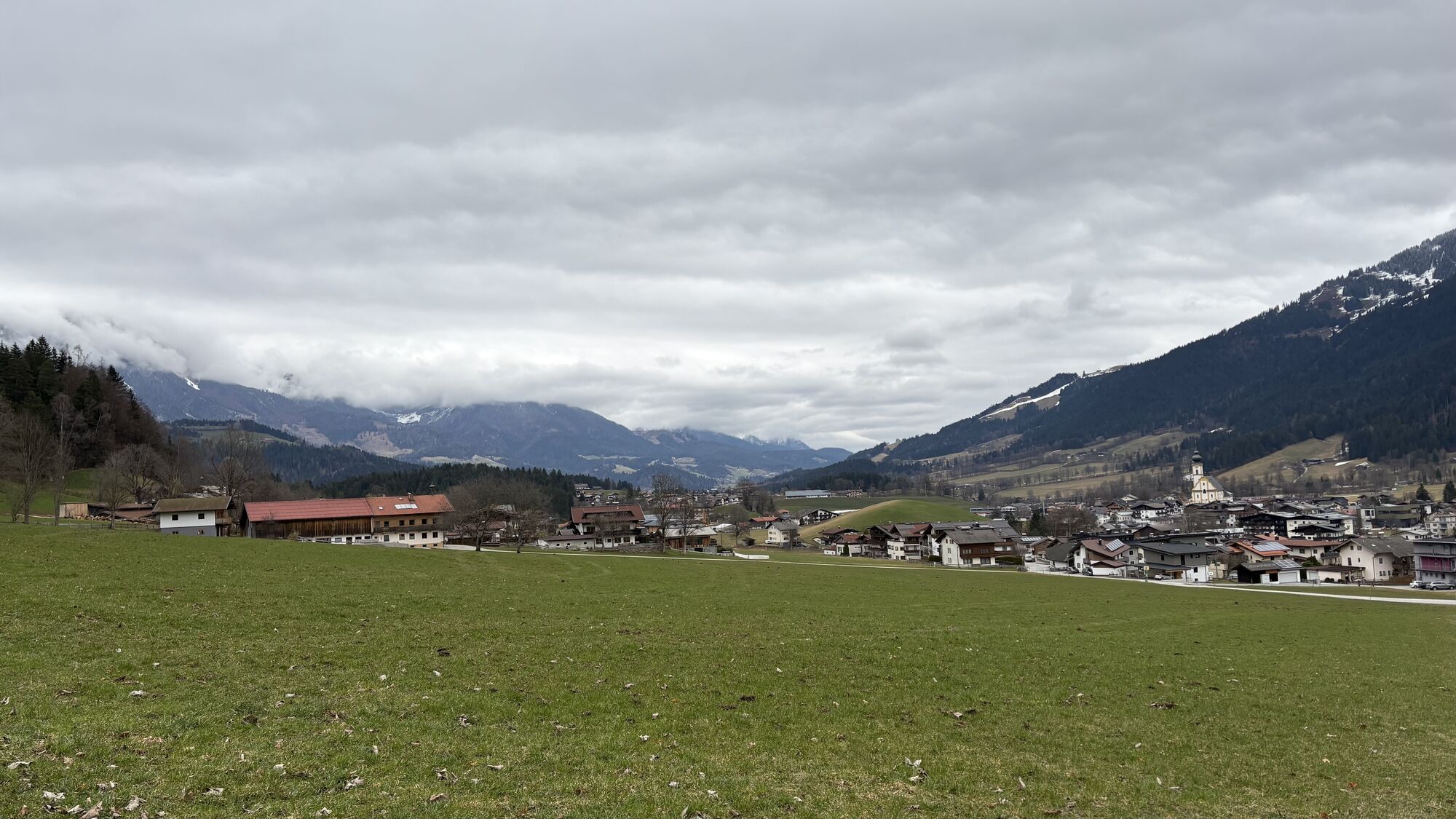
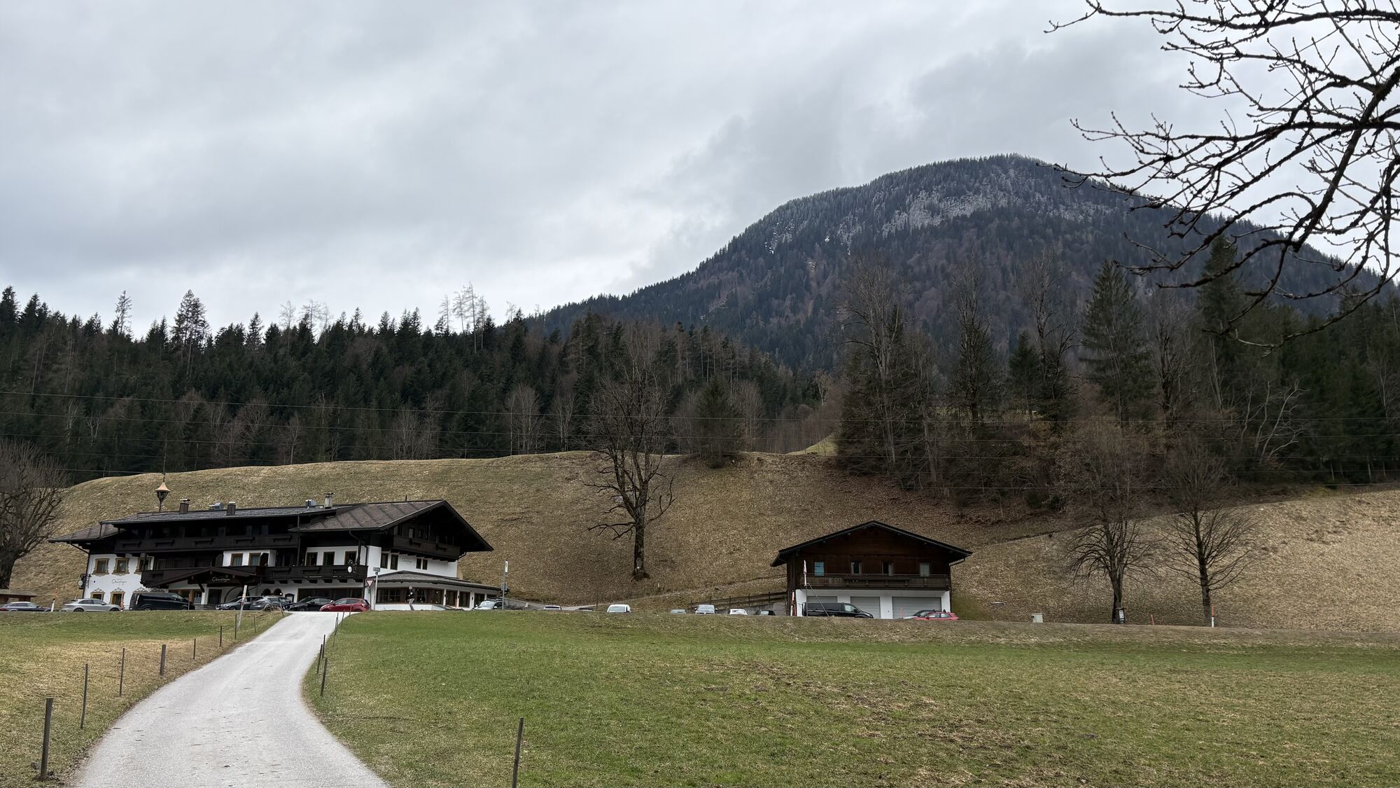
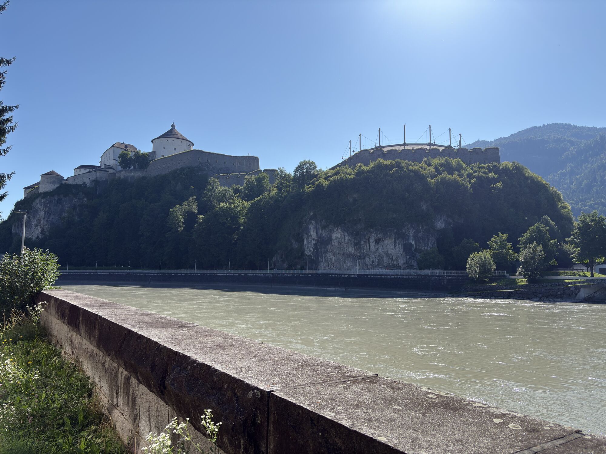
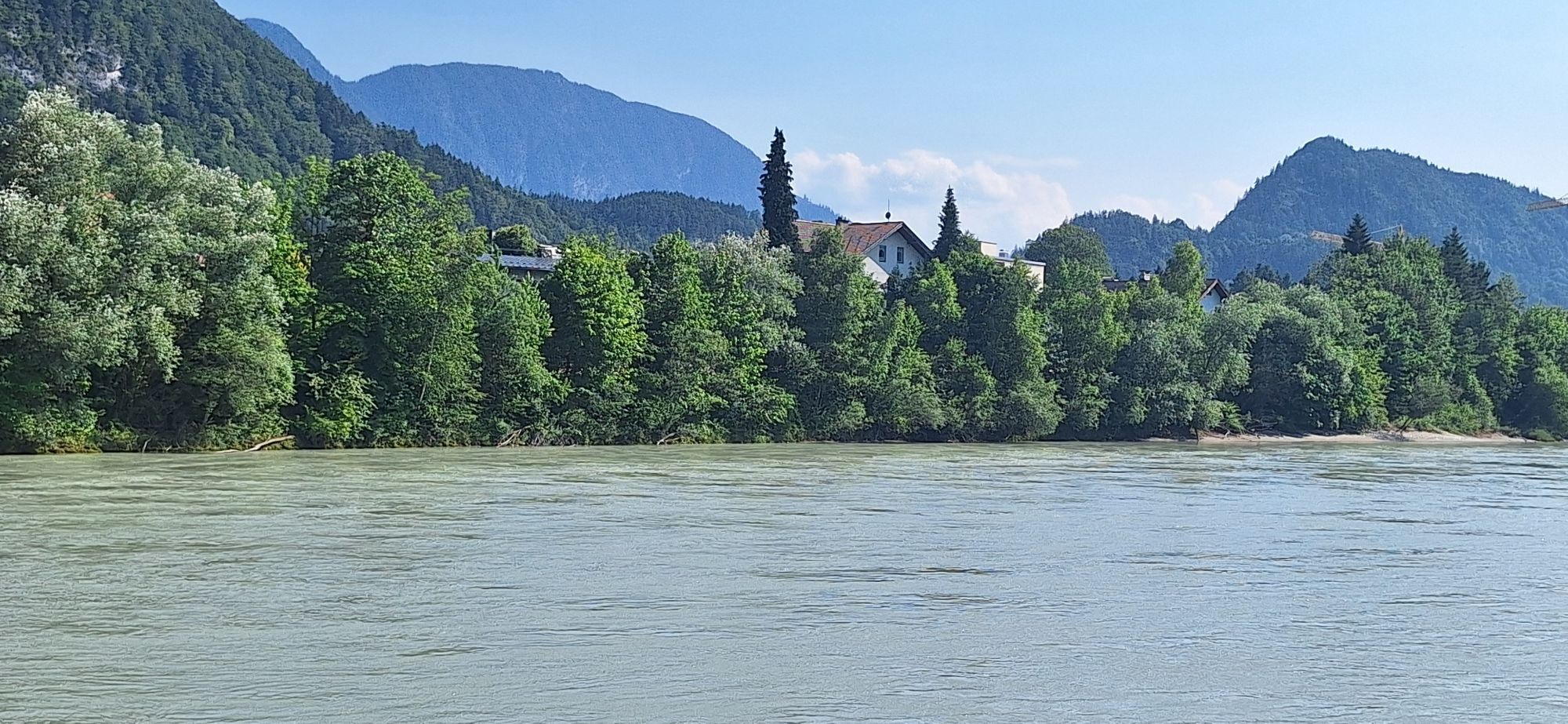
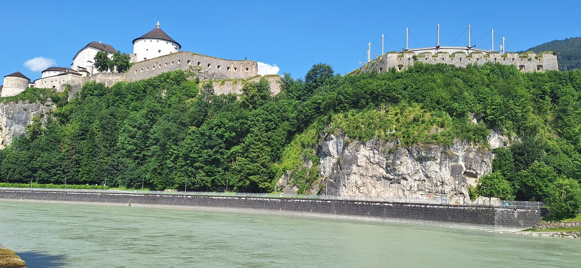
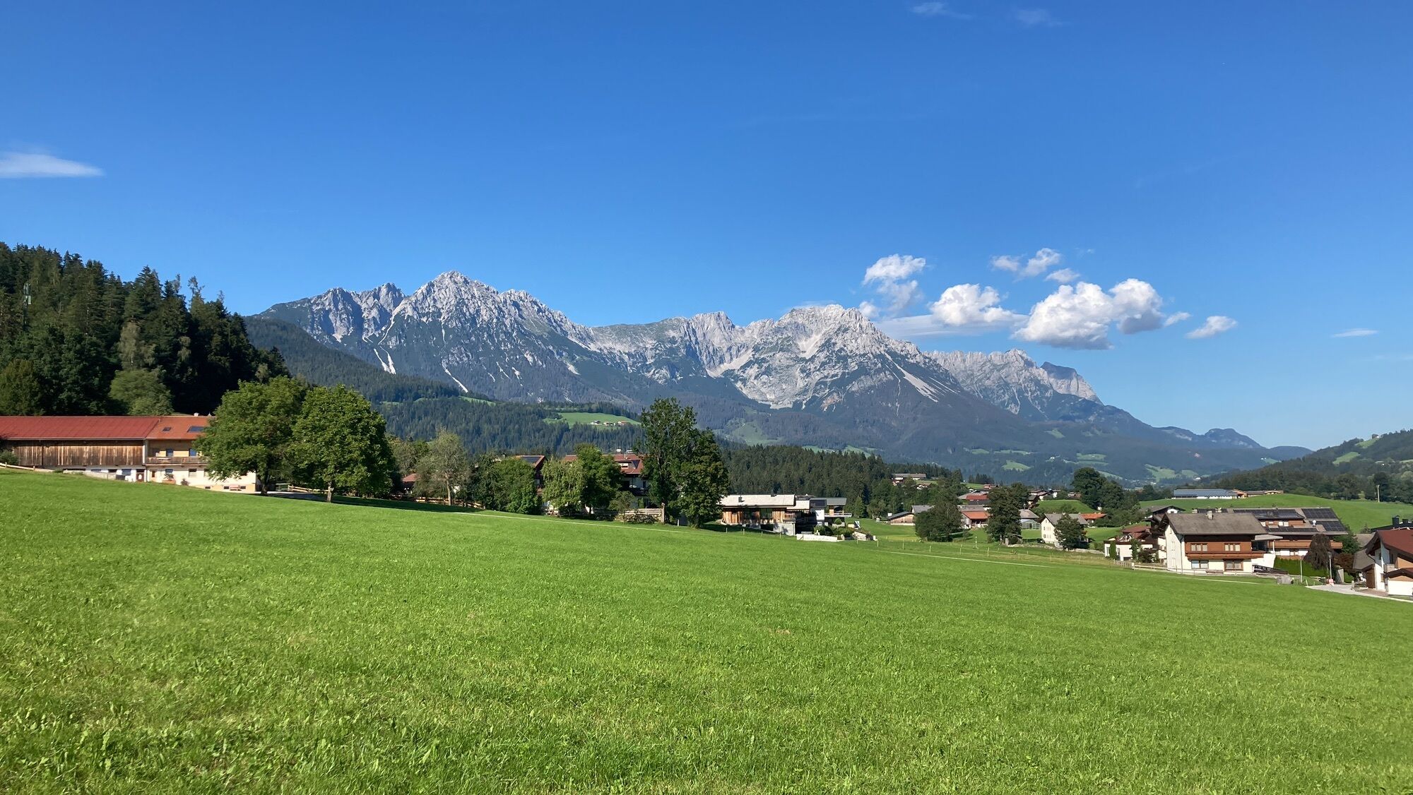
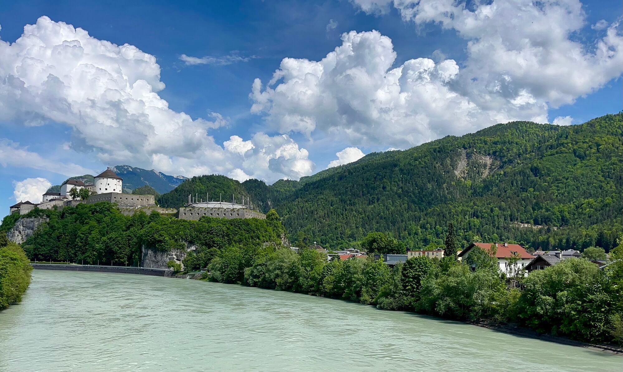
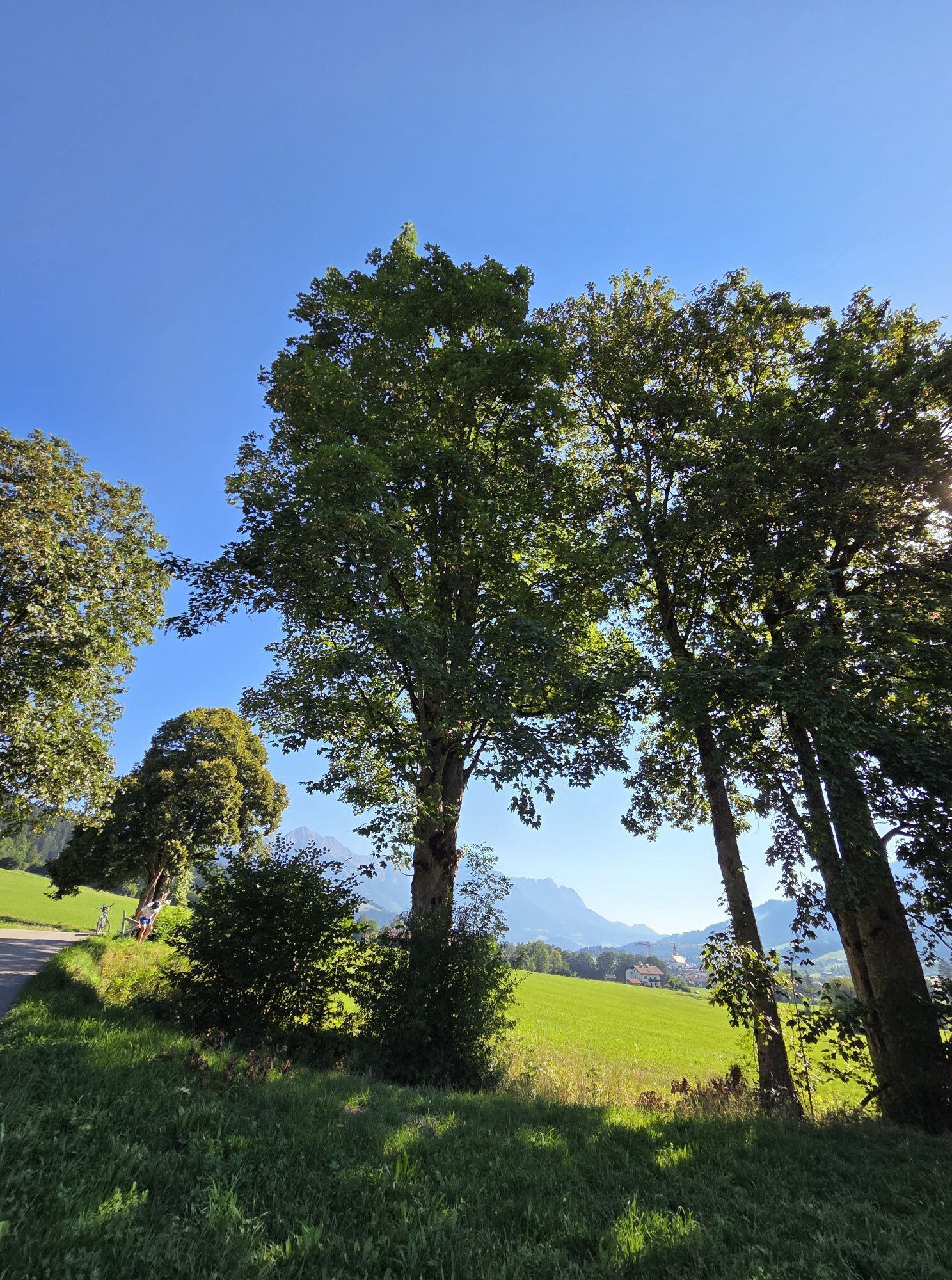
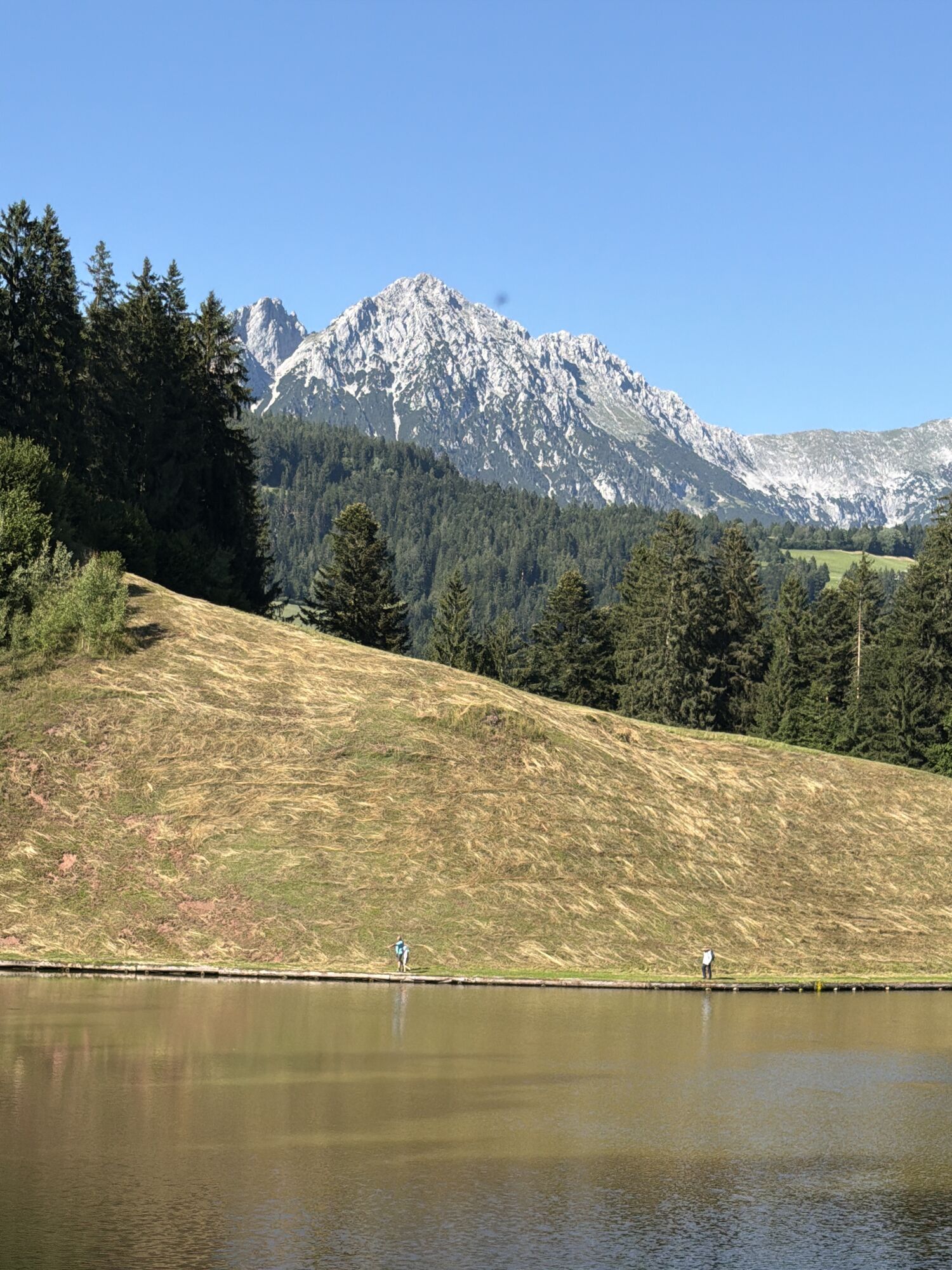
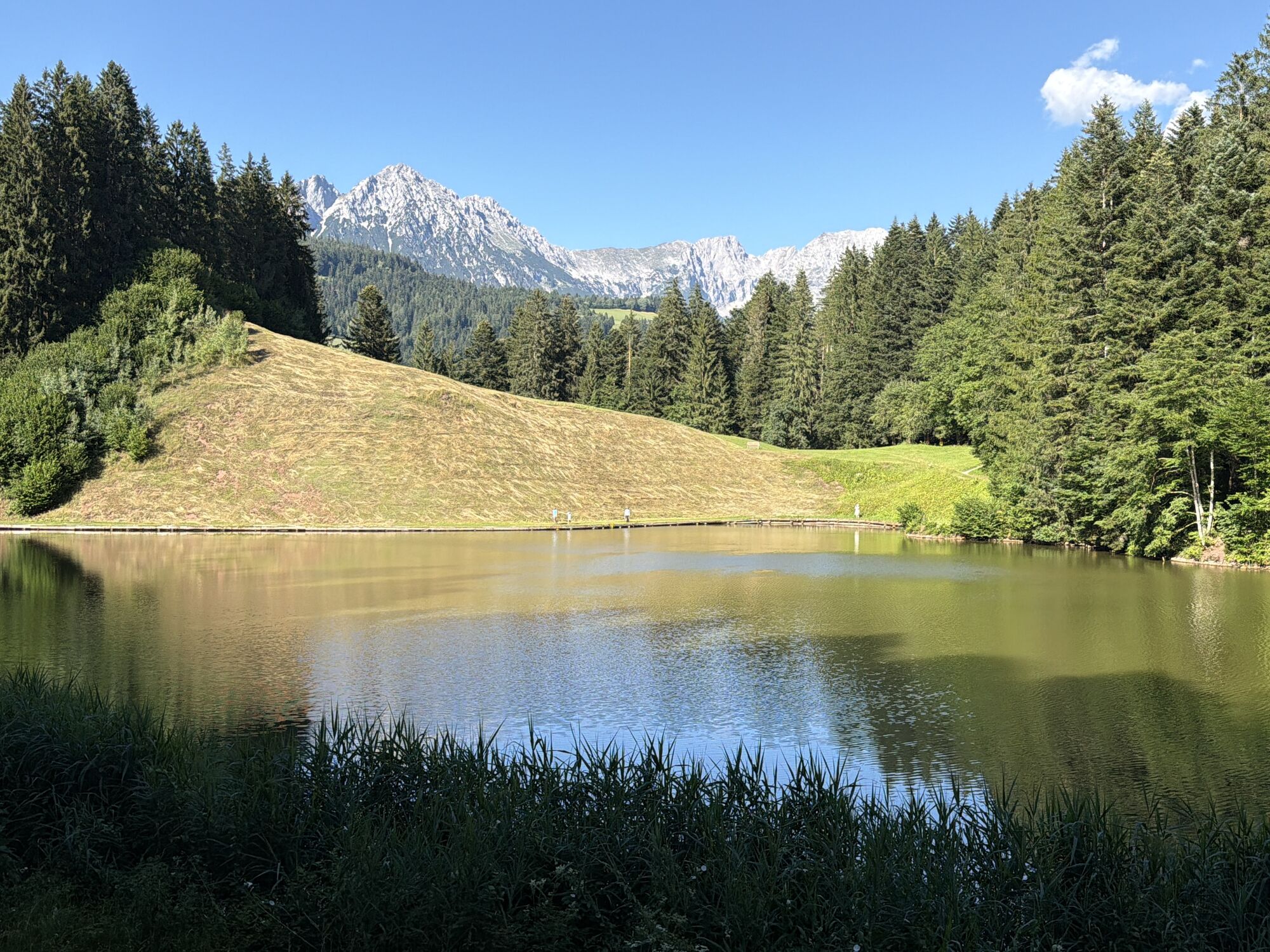
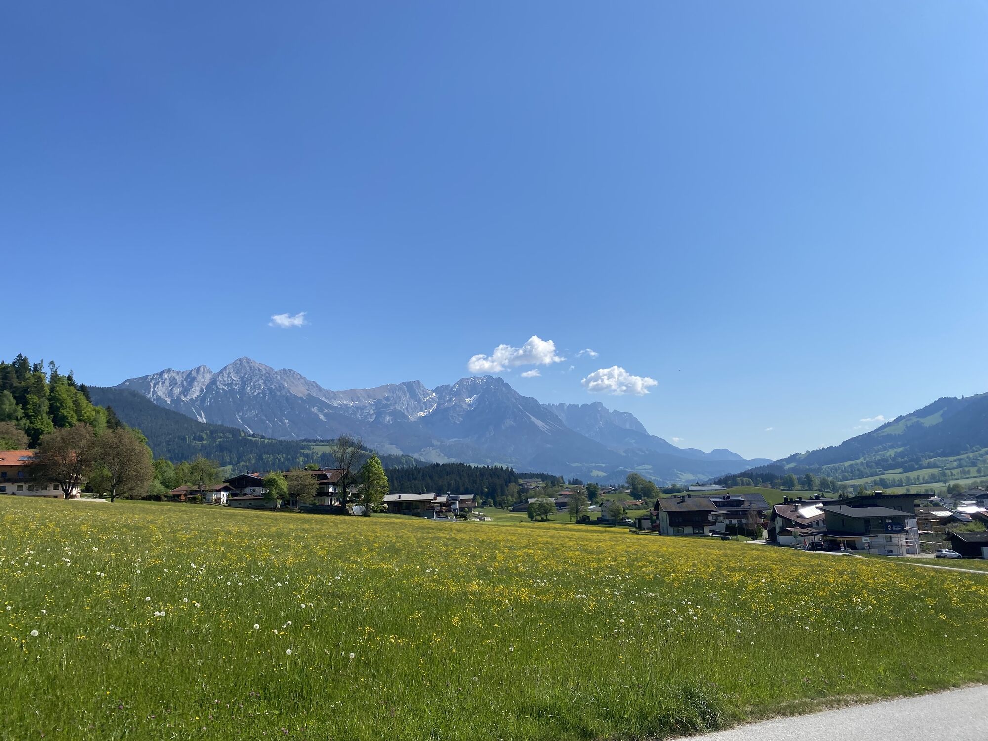
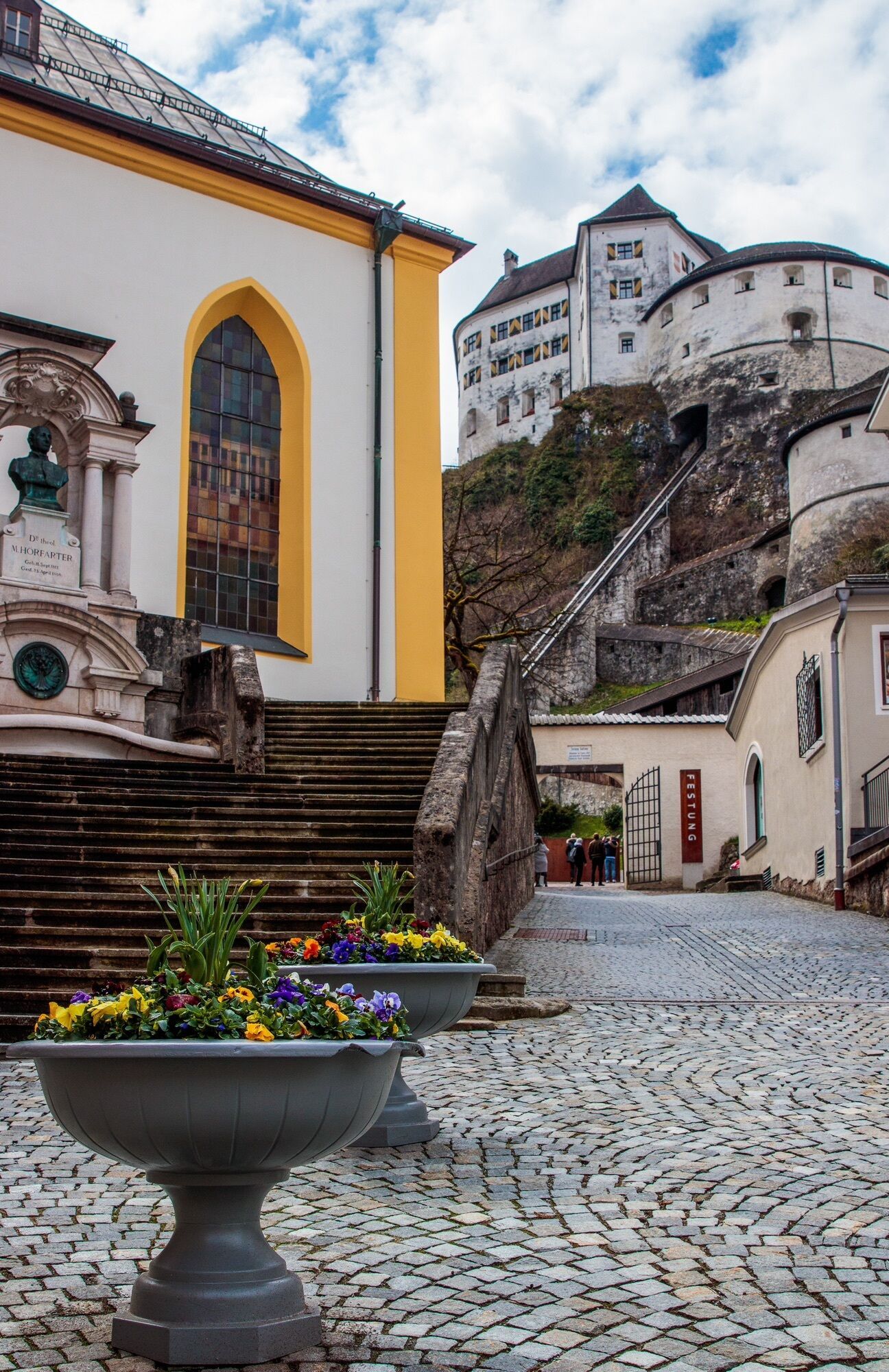
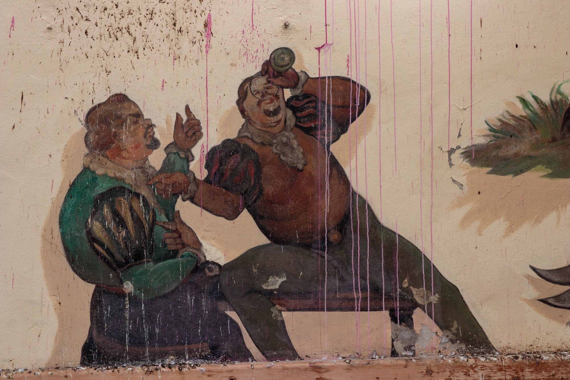
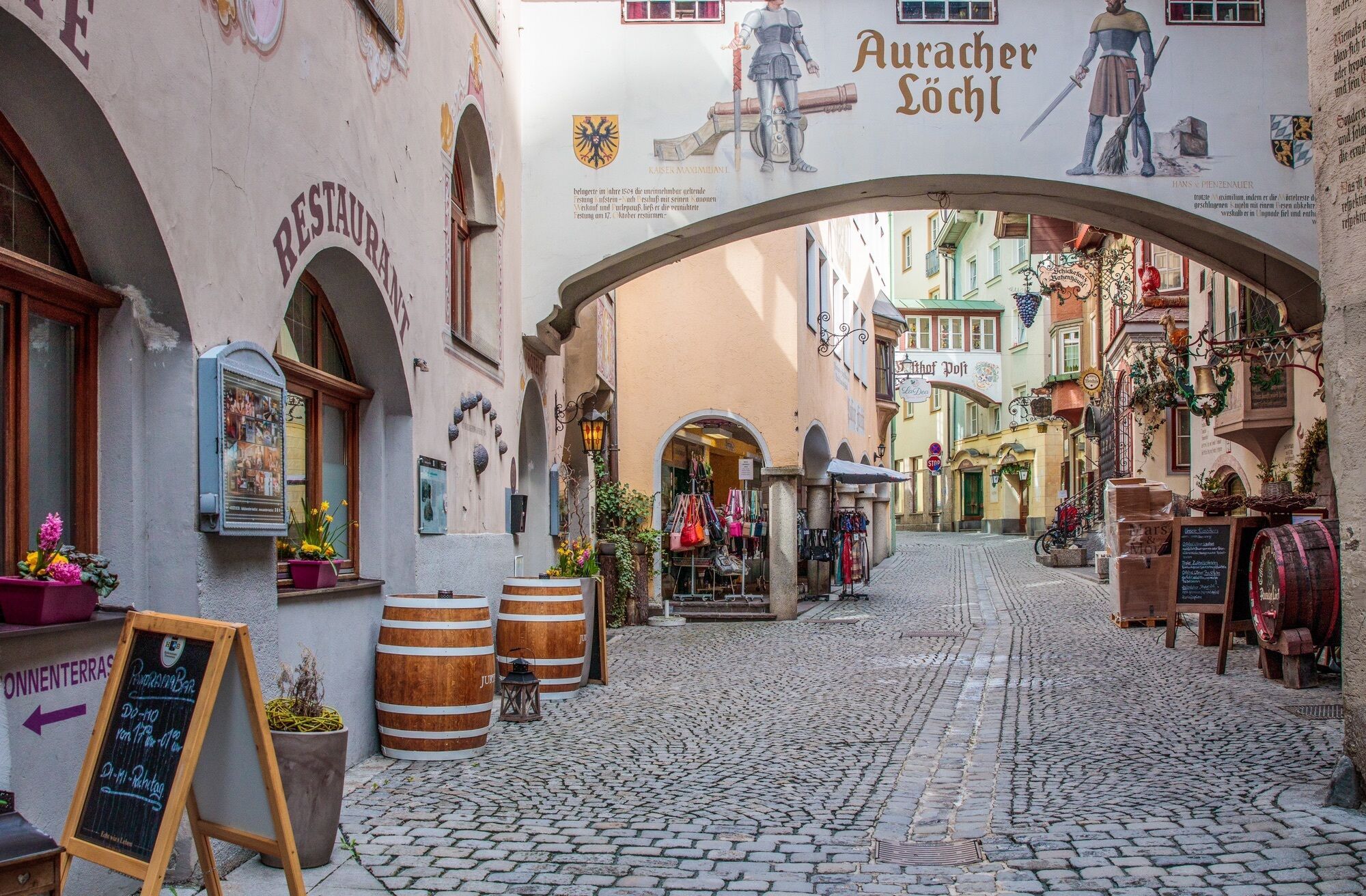

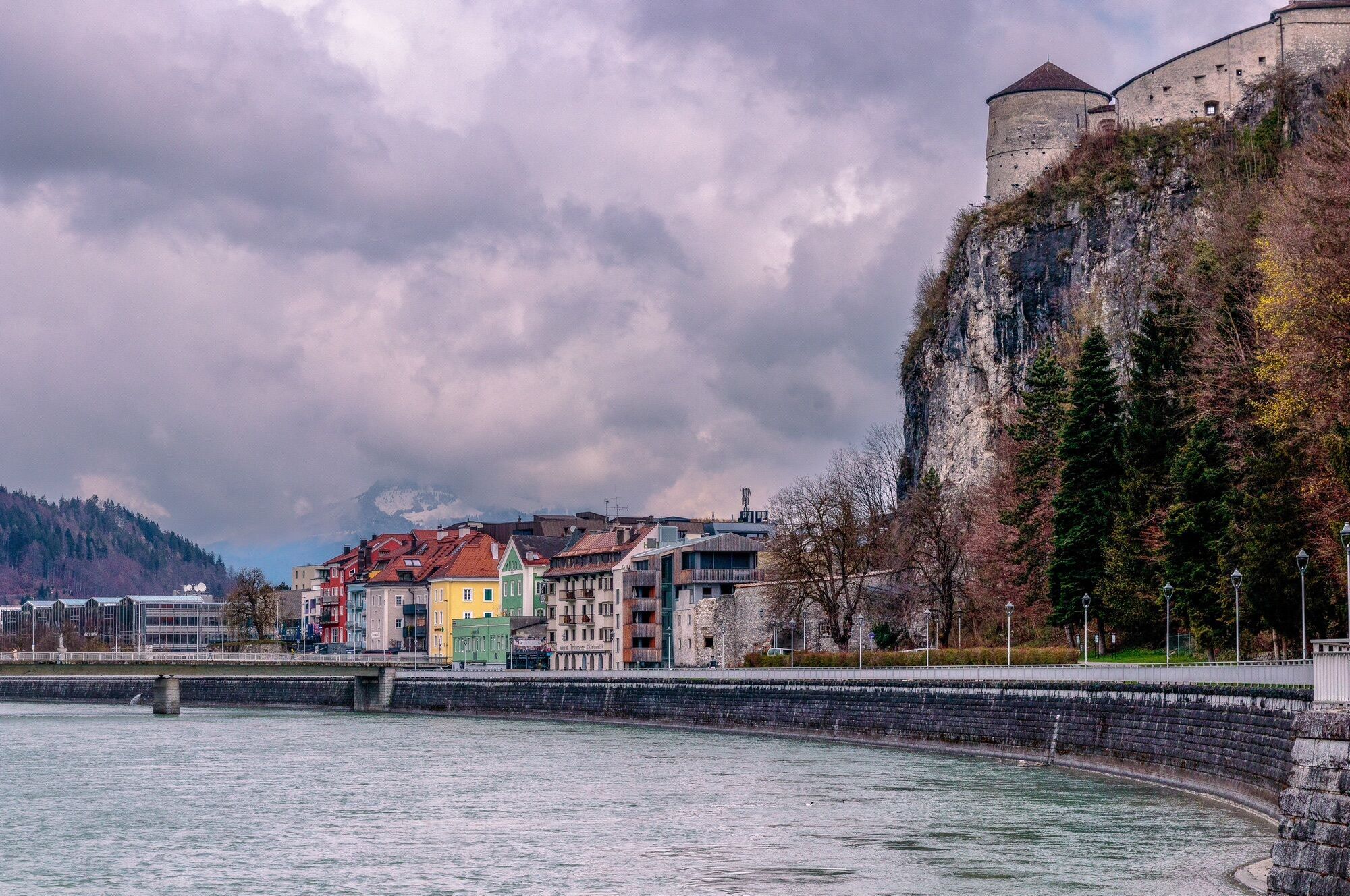
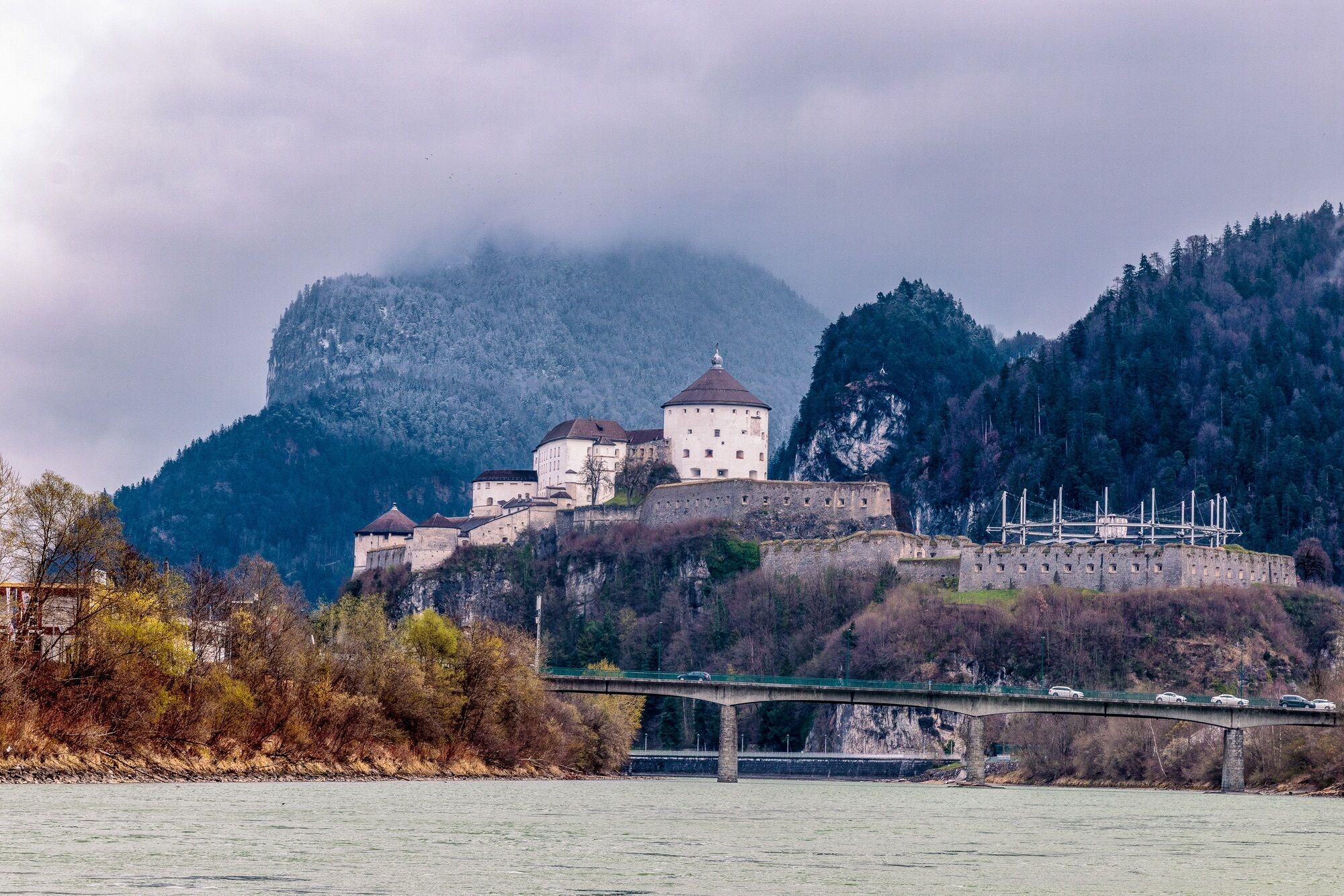
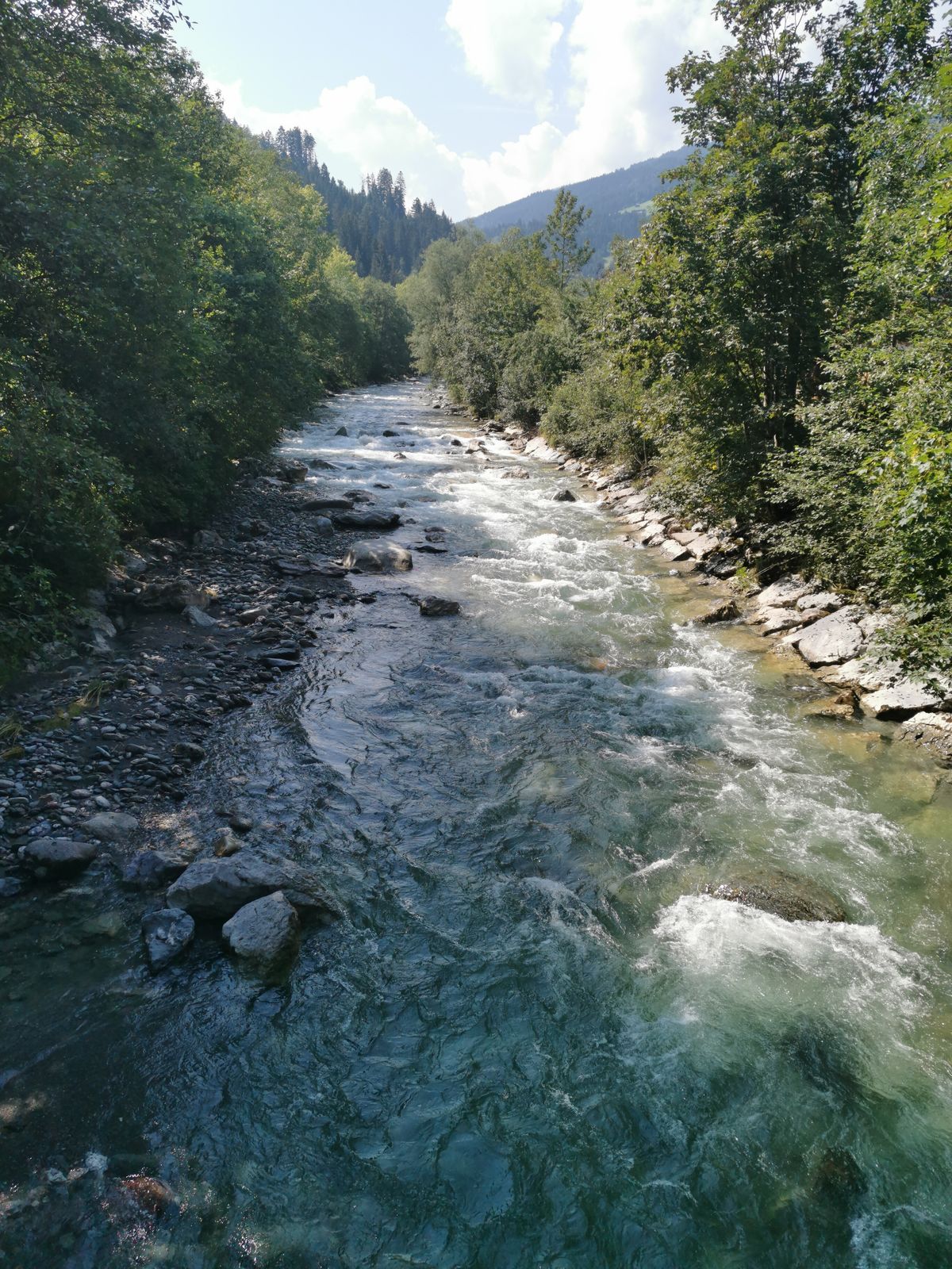
A beautiful tour off the beaten track, the two quiet high valleys of Kurzer and Langer Grund.
Route:
From Kufstein it goes along the Innradweg to Kirchbichl. Then keep left towards Hopfgarten. On the old...
A beautiful tour off the beaten track, the two quiet high valleys of Kurzer and Langer Grund.
Route:
From Kufstein it goes along the Innradweg to Kirchbichl. Then keep left towards Hopfgarten. On the old Brixental road you pass through the first village in the Brixental. Continue along the main road, through the railway underpass and then straight on from the main road towards Kelchsau. From here continue along the road until you finally reach the toll station. Here you can decide which of the two valleys to tackle first. Afterwards you go back the same way. Via a small detour, you can still "take" a very steep ascent over the Glantersberg. The way back leads over the higher situated village Itter and Söll and finally the new Eiberg cycle track back to the starting point.
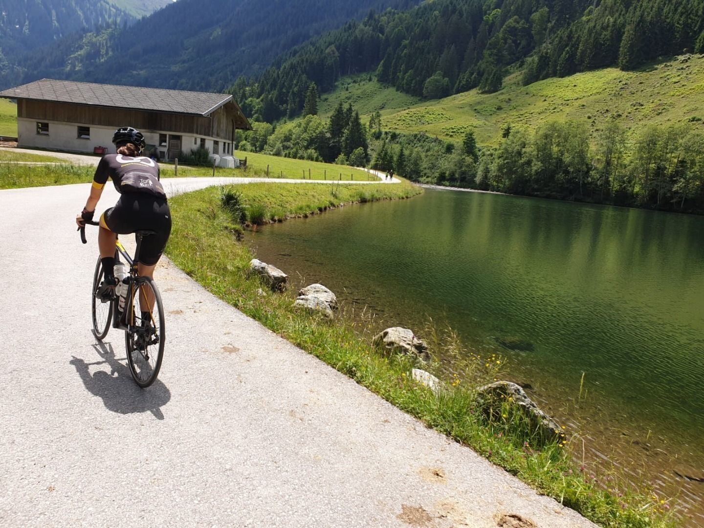

Cycling helmet, comfortable cycling clothing, change of clothes, wind protection, cycling gloves, possibly rucksack with water bottle and food, first aid equipment, possibly service/repair kit, cycling map, tour description and information material (GPX track), ID card, insurance card, cash
From the Inntal motorway A12, take the Kufstein Nord exit.
Kufstein main railway station is only a few minutes' walk from the starting point.
Kufstein centre
Webcams der Tour
Scheffau
Thiersee - Mitterland - Schneeberglifte
Hohe Salve
Thiersee - Mitterland - Schneeberglifte
Bergstation Gondelbahn Hochsöll
Thiersee - Mitterland - Schneeberglifte
Thiersee - Mitterland - Schneeberglifte
Markbachjoch 1
Kufstein - Brentenjoch
Thiersee - Mitterland - Schneeberglifte
Pendlinghaus - Kufstein
Pendlinghaus - Kufstein
Markbachjoch 1
Thiersee - Mitterland - Schneeberglifte
Westendorf - Salvenberg
Söll - Ort
Thiersee - Ticklhof
Übungswiese Westendorf - Apartment Anita
Kleine Salve - Salvistabahn
Festung Kufstein
Hexenwasser
Hol dir den Einblick Immer live vor Ort mit über 9.500 Webcams. In der Touren App von bergfex siehst du als Pro-User jetzt zu vielen Touren die passenden Webcams. So kannst du dir direkt die aktuellen Bedingungen ansehen.Beliebte Touren in der Nähe
- 4,3
Rosskopf
leichtWanderung 7,02 km - 4,9
Route 209: Brechhornhaus-Choralpe
schwerMountainbike 24,4 km - 4,1
Brechhorngipfel (2.037m)
mittelWanderung 11,7 km - 4,6
Kröndlhorn (2.444m)
schwerWanderung 13,5 km - 3,2
Kundler Klamm
leichtWanderung 6,33 km - 4,3
Route 208: Windautal - Rotwandalm/Filzenscharte
schwerMountainbike 22,8 km - 4,8
Ochsenkopf
leichtWanderung 5,46 km - 4,3
Plattenkogel (Rundweg)
mittelWanderung 7,67 km - 4,7
Frühmesser
mittelWanderung 10,6 km - 4,0
Wanderung zum Gampenkogel - Kreuzjöchlsee
leichtWanderung 6,10 km
Wandern & Tracking


Verpasse keine Angebote und Inspirationen für deinen nächsten Urlaub
Deine E-Mail-Adresse wurde in den Verteiler eingetragen.





