






E-Bike Roundtour Achleitberg

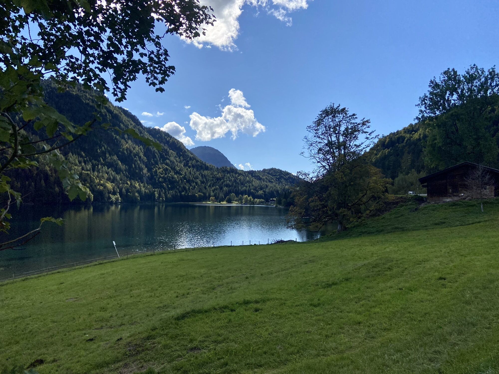
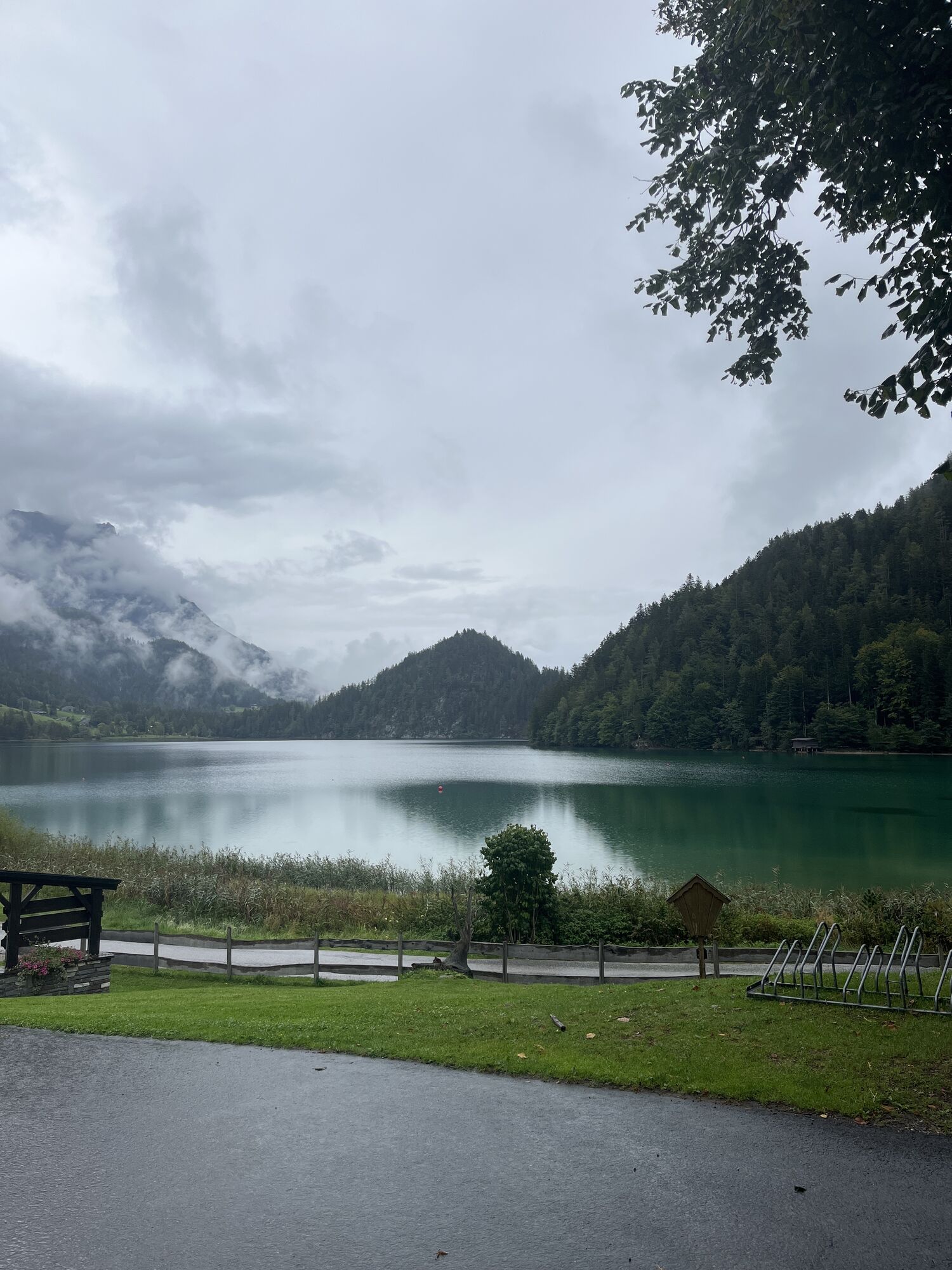
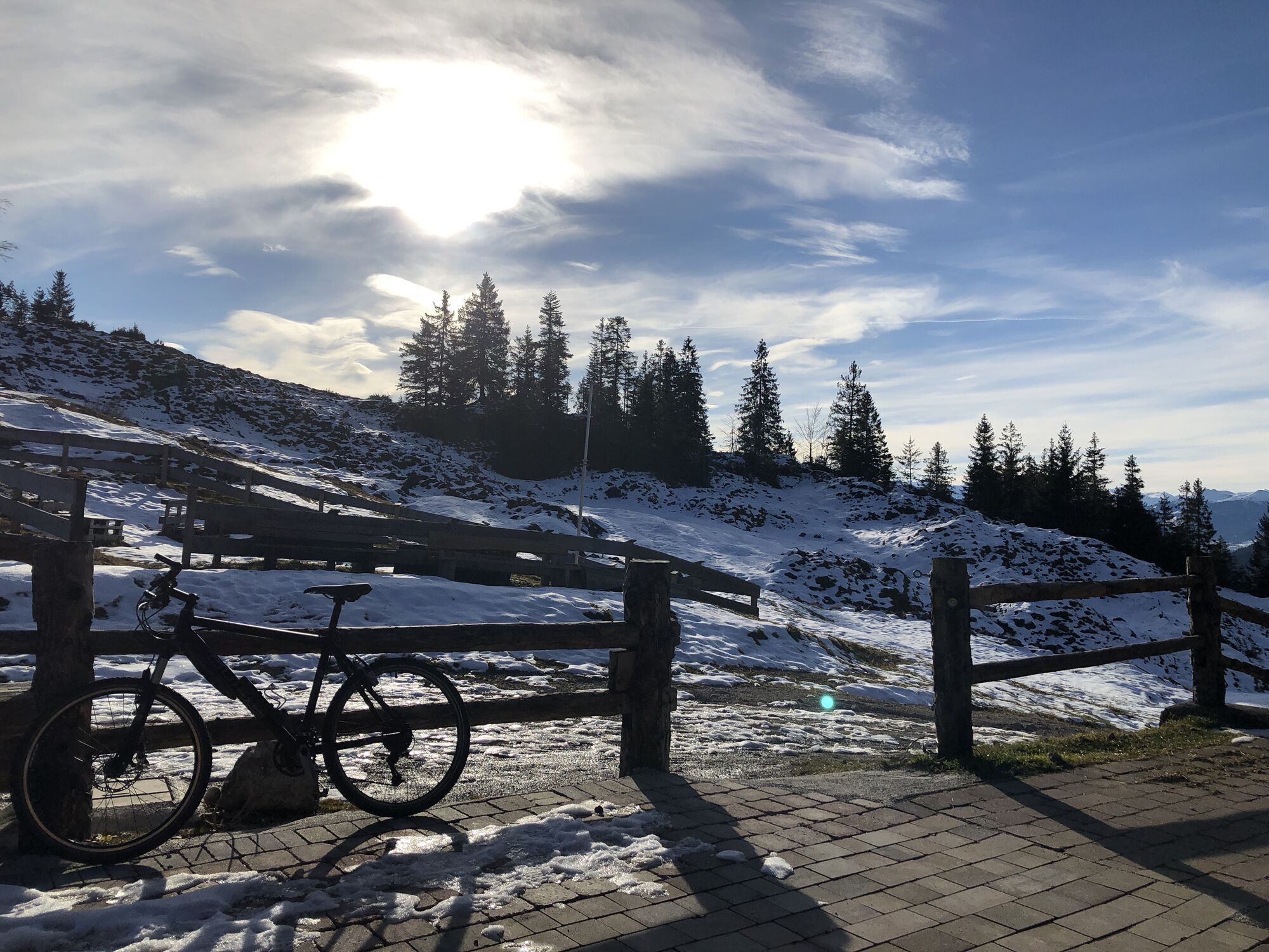
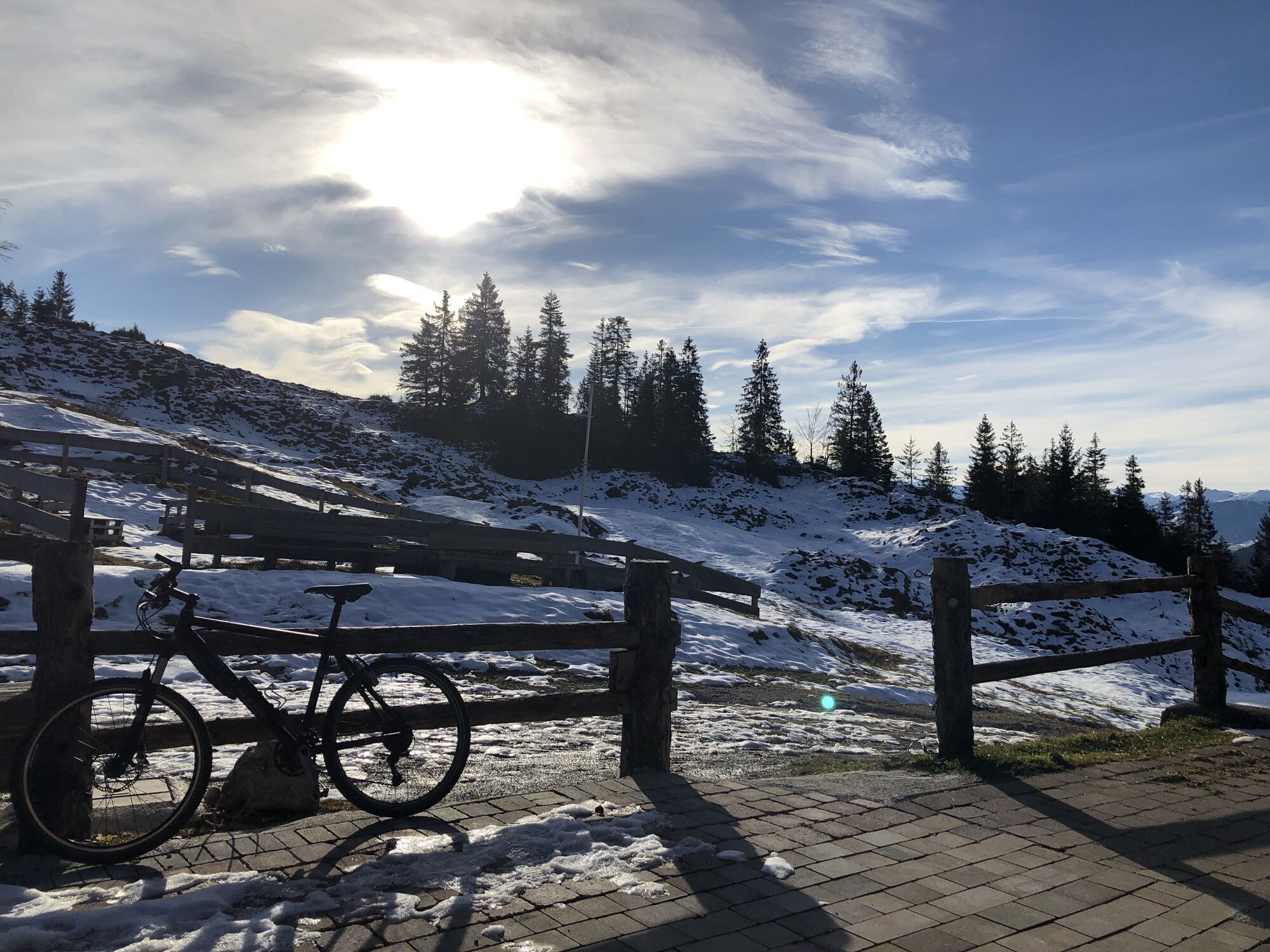

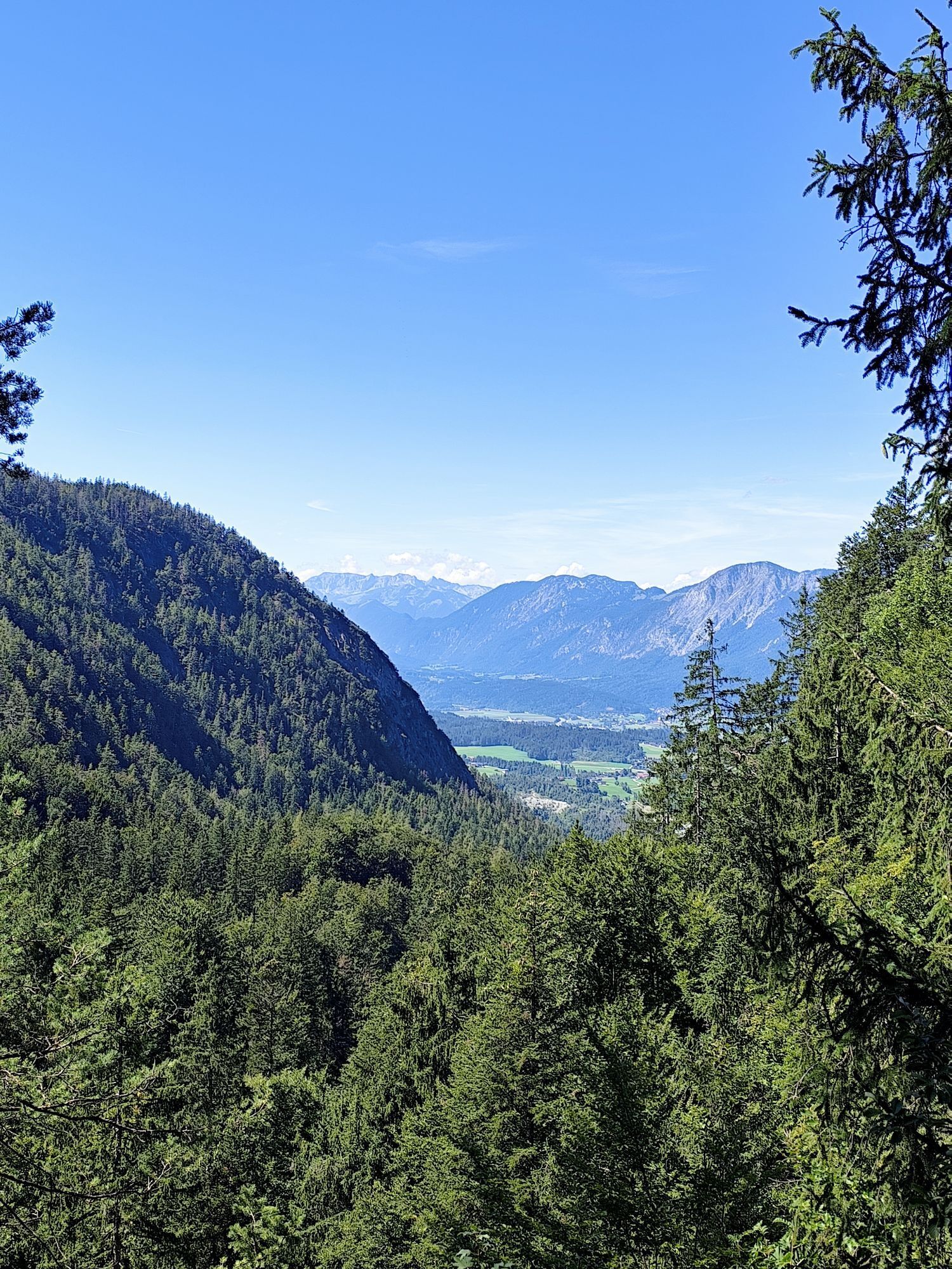
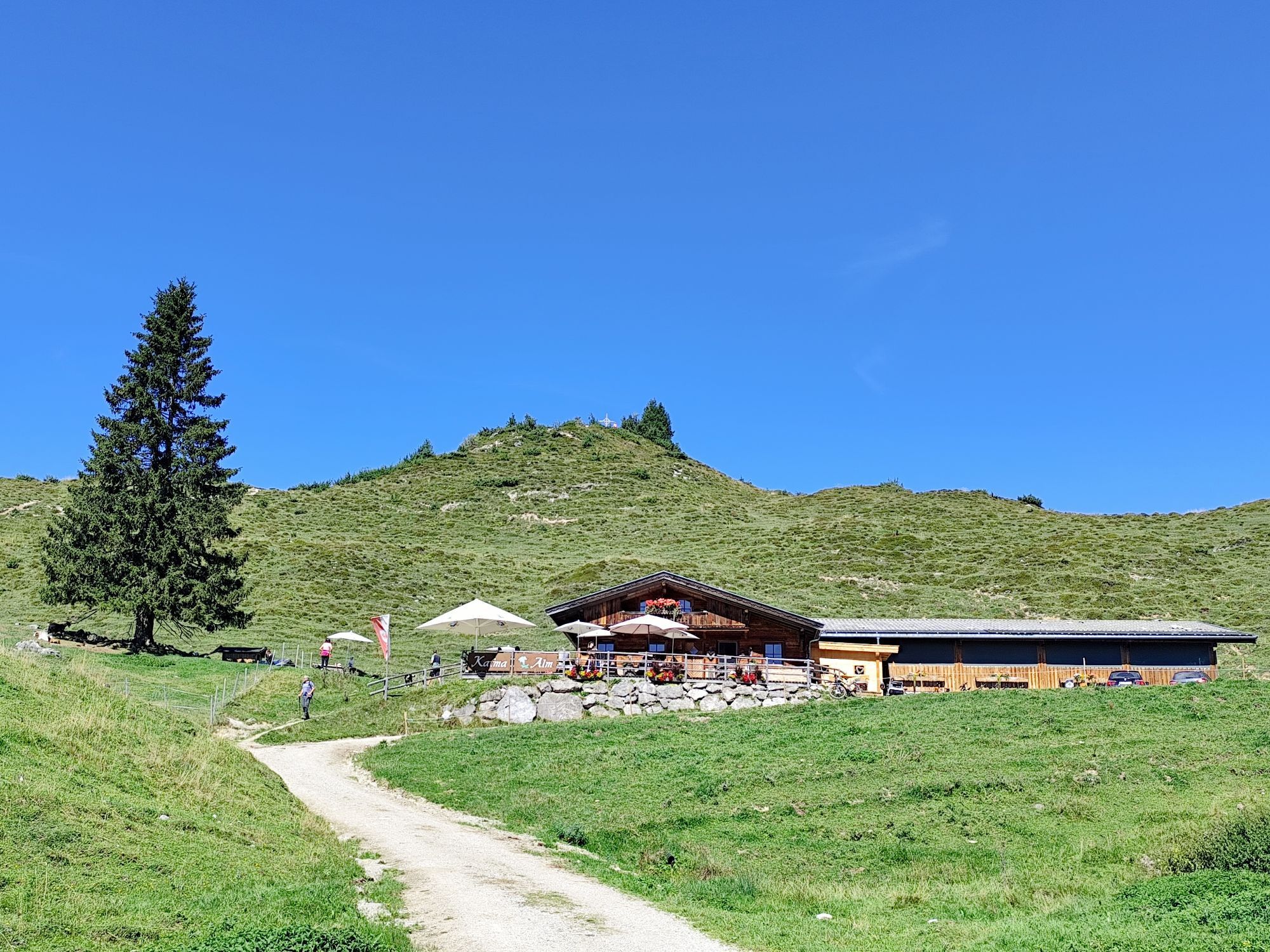
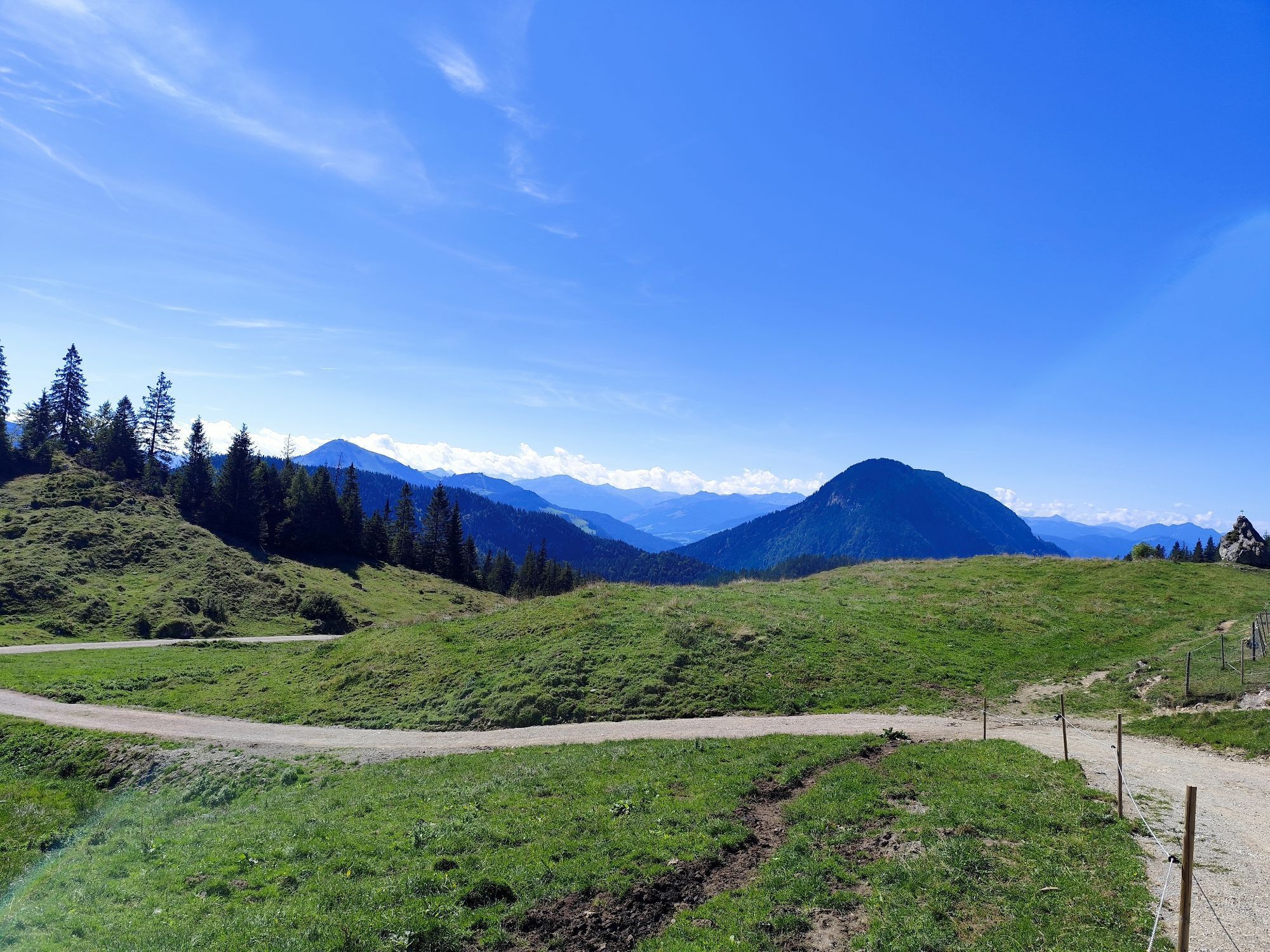
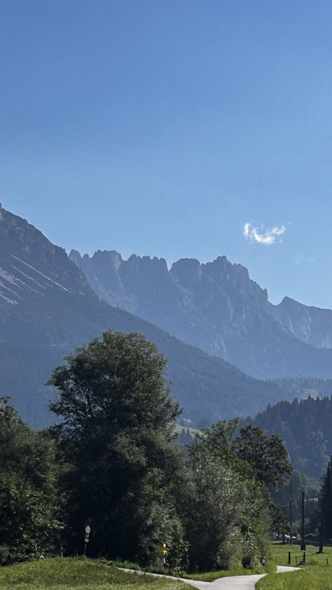
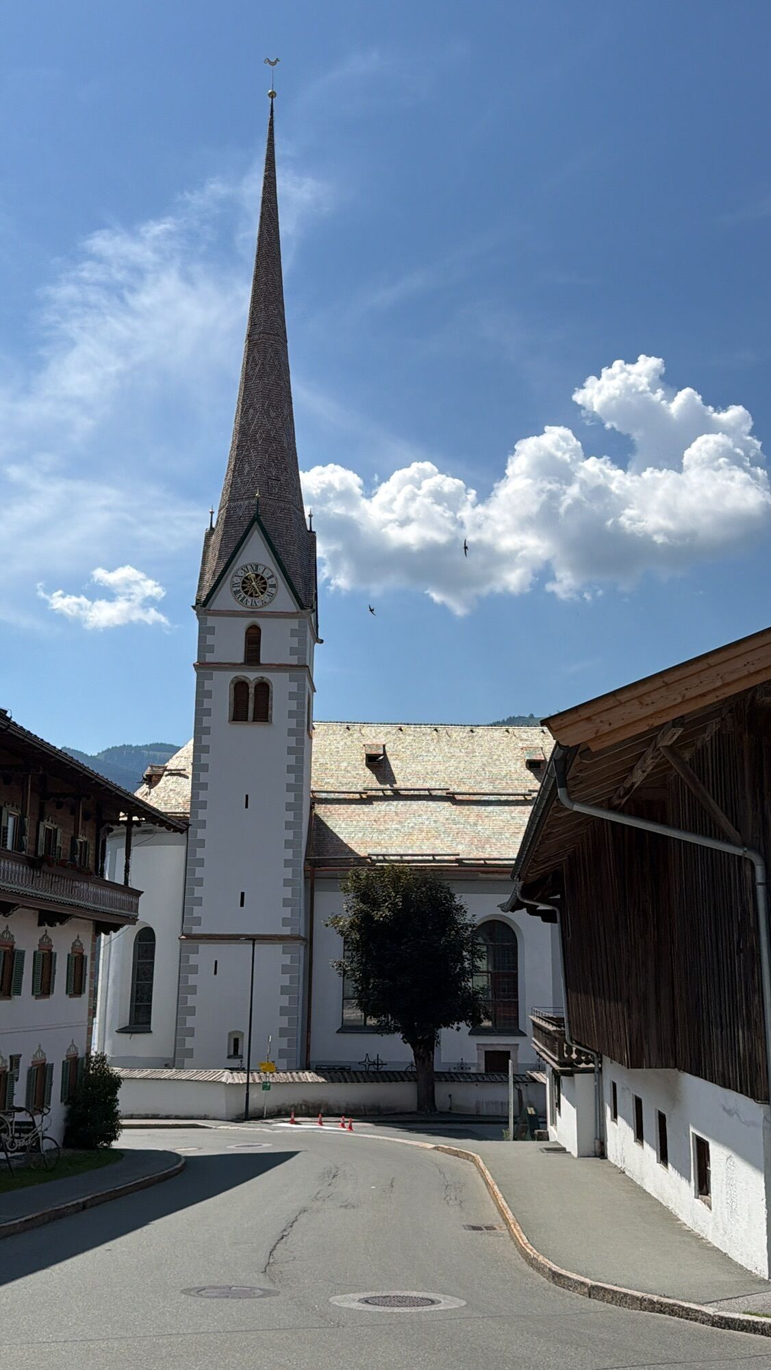
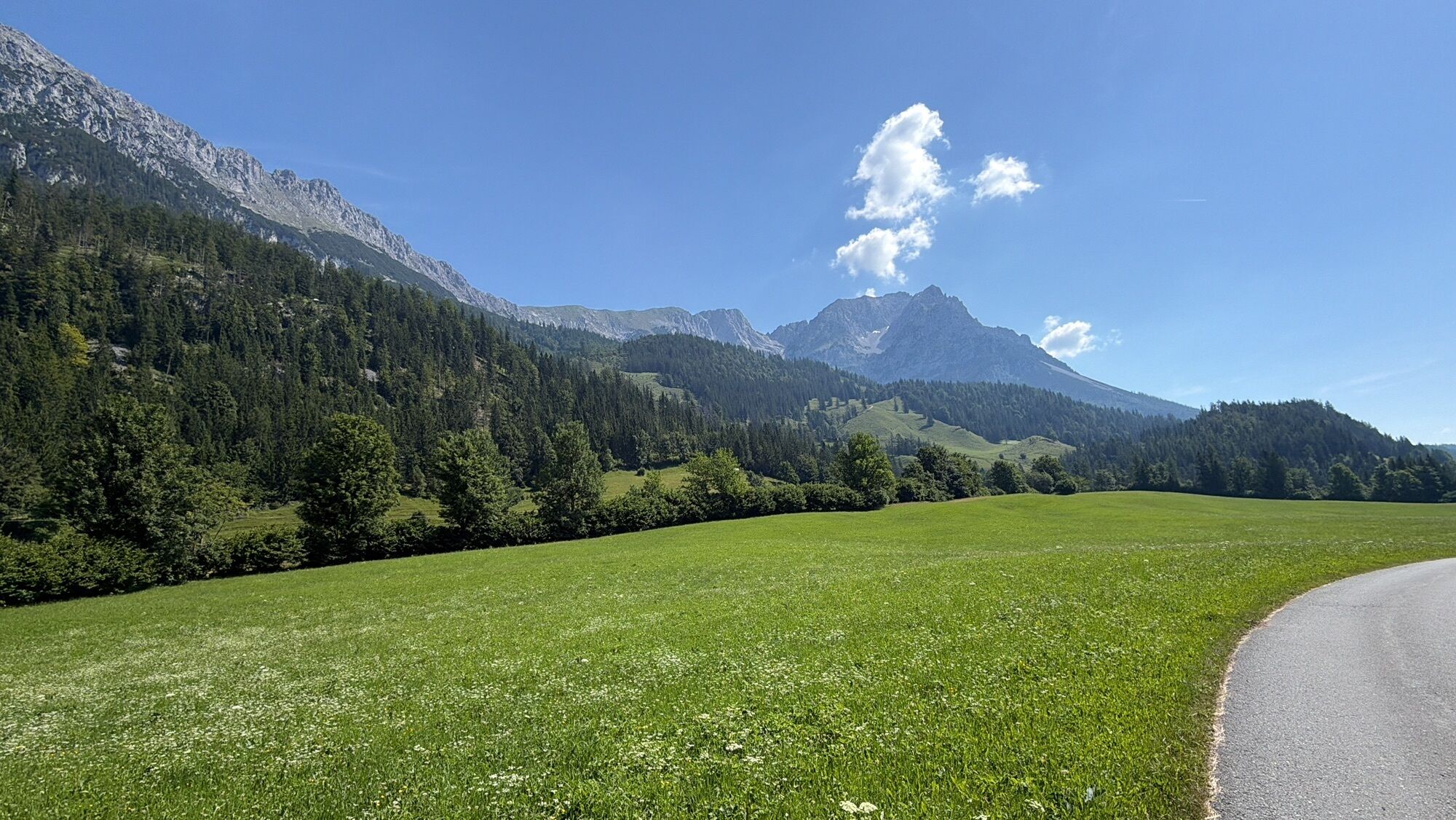
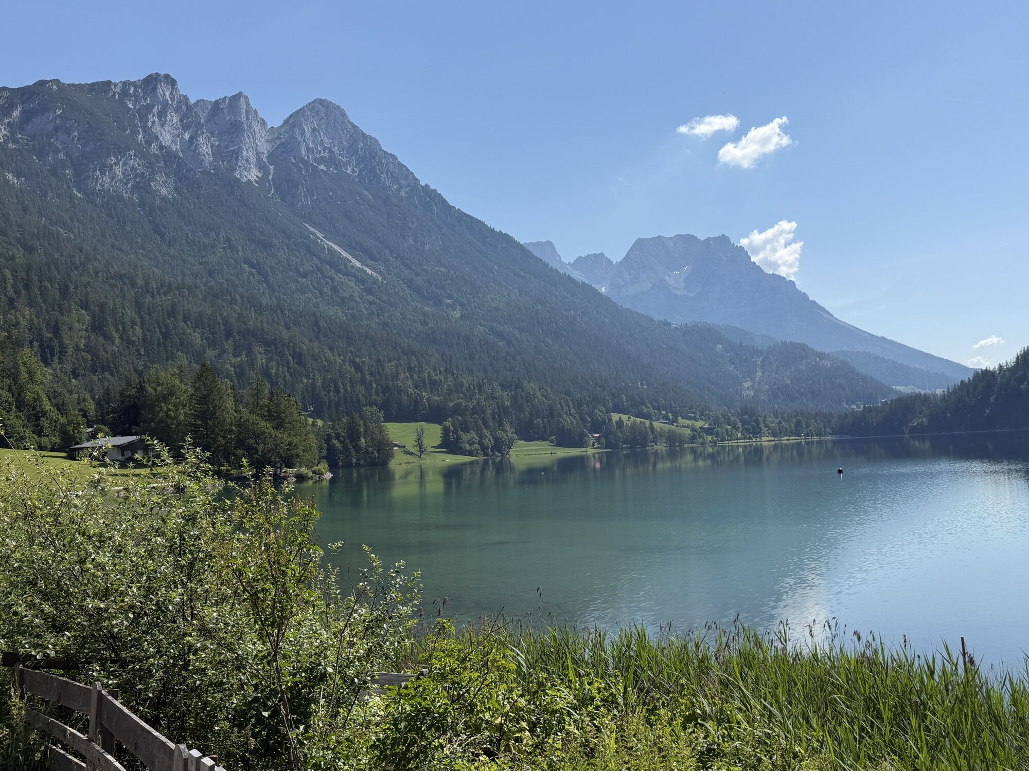

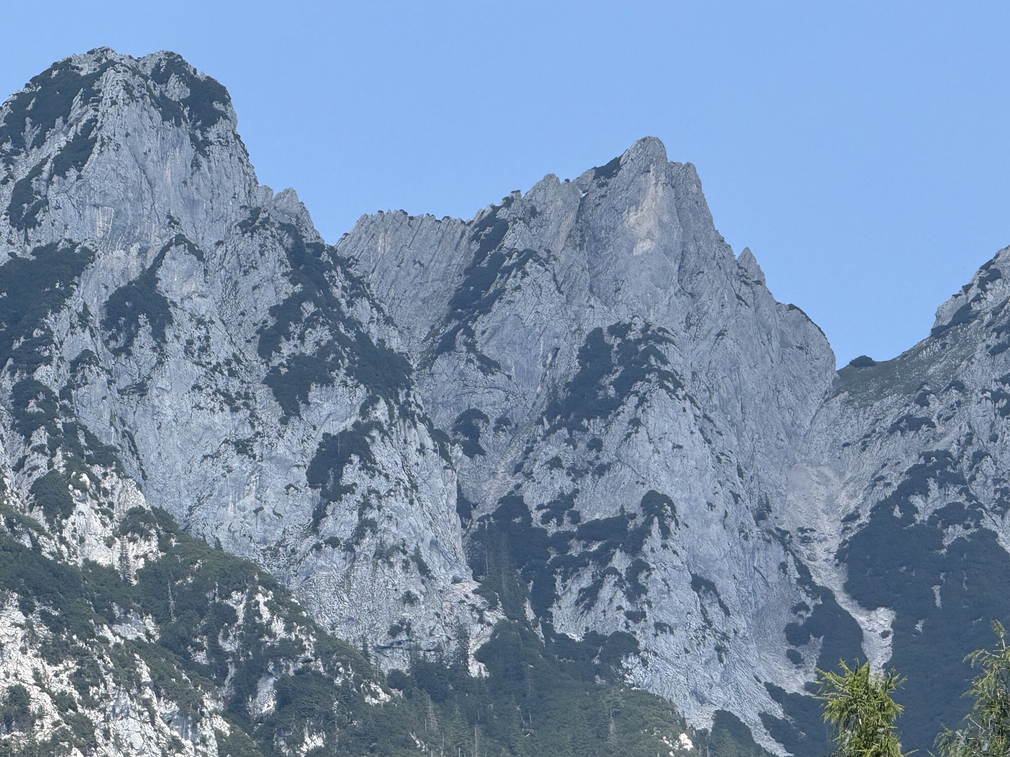
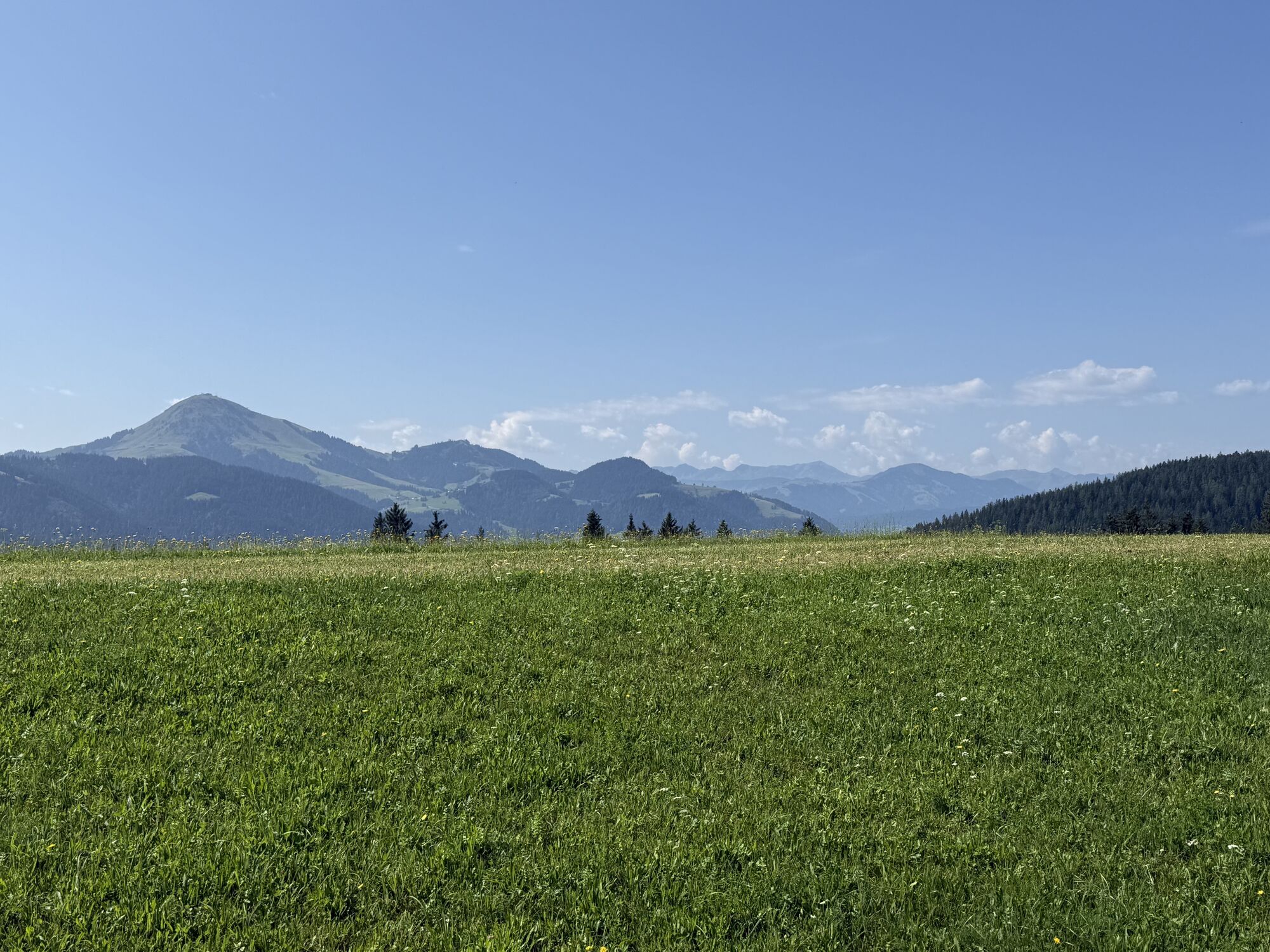
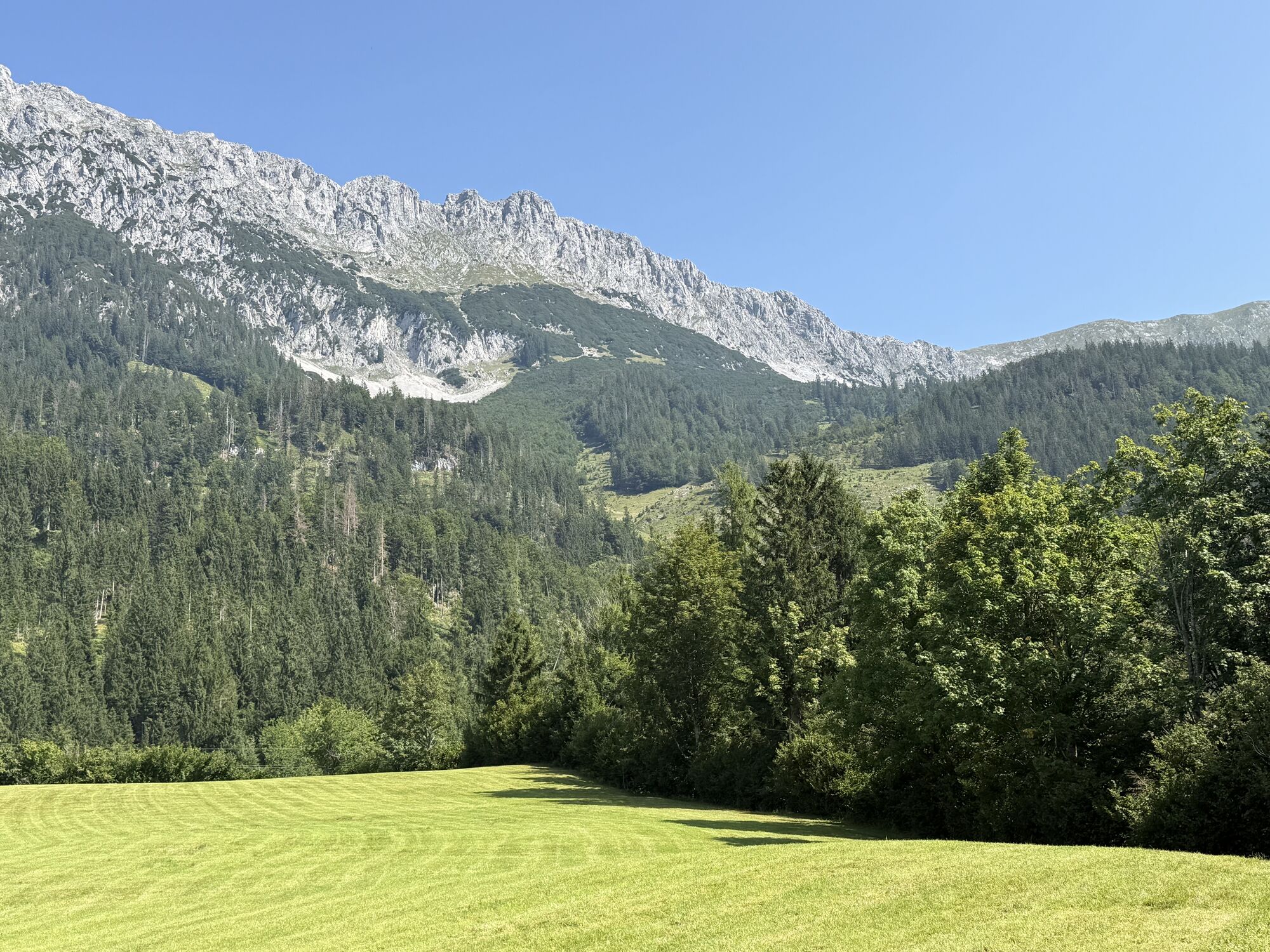
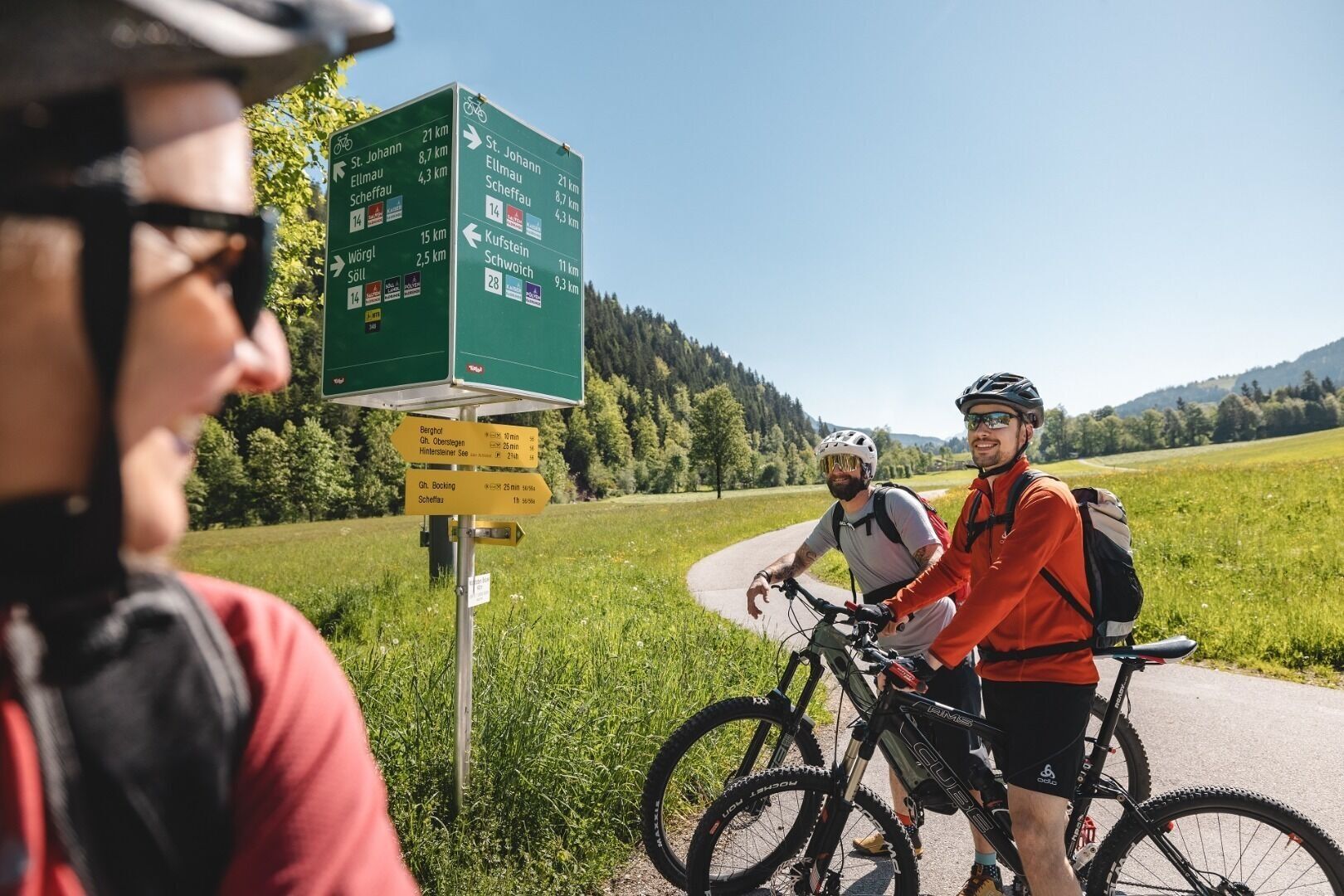
From Scheffau, start on cycle path no. 14 towards Söll and continue on cycle path no. 28 towards Kufstein. Before the quarry, turn right onto MTB trail no. 354 towards Walleralm. Here you cycle uphill...
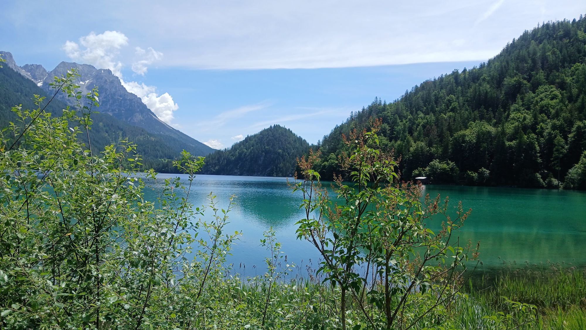
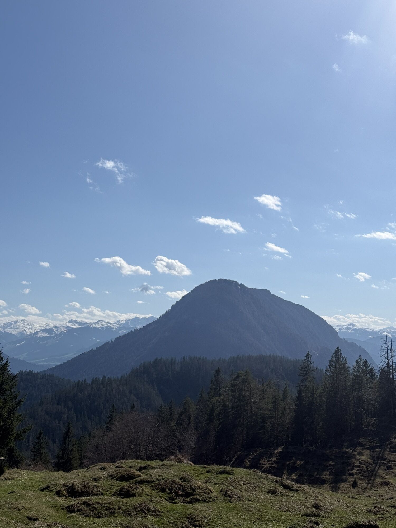
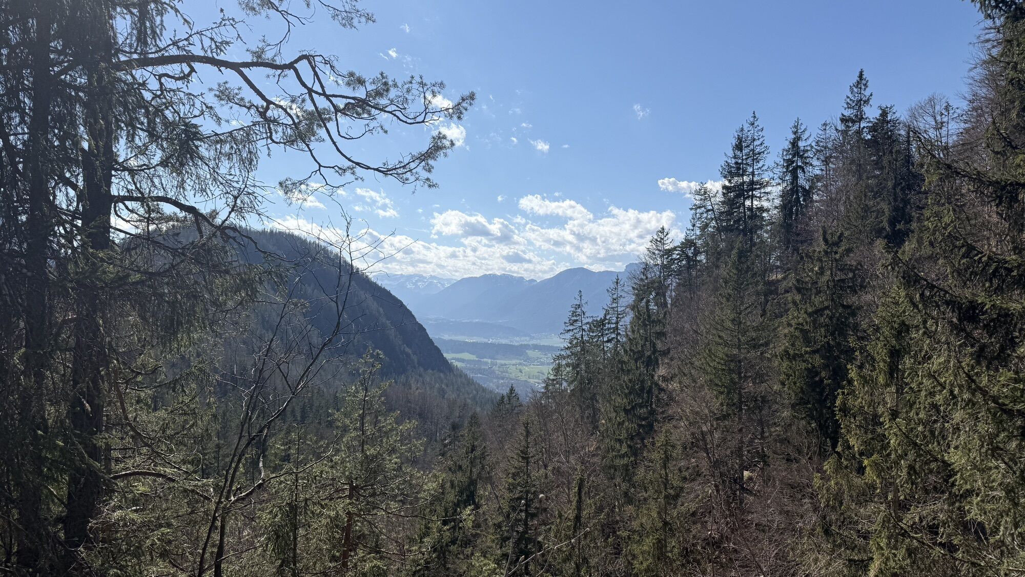
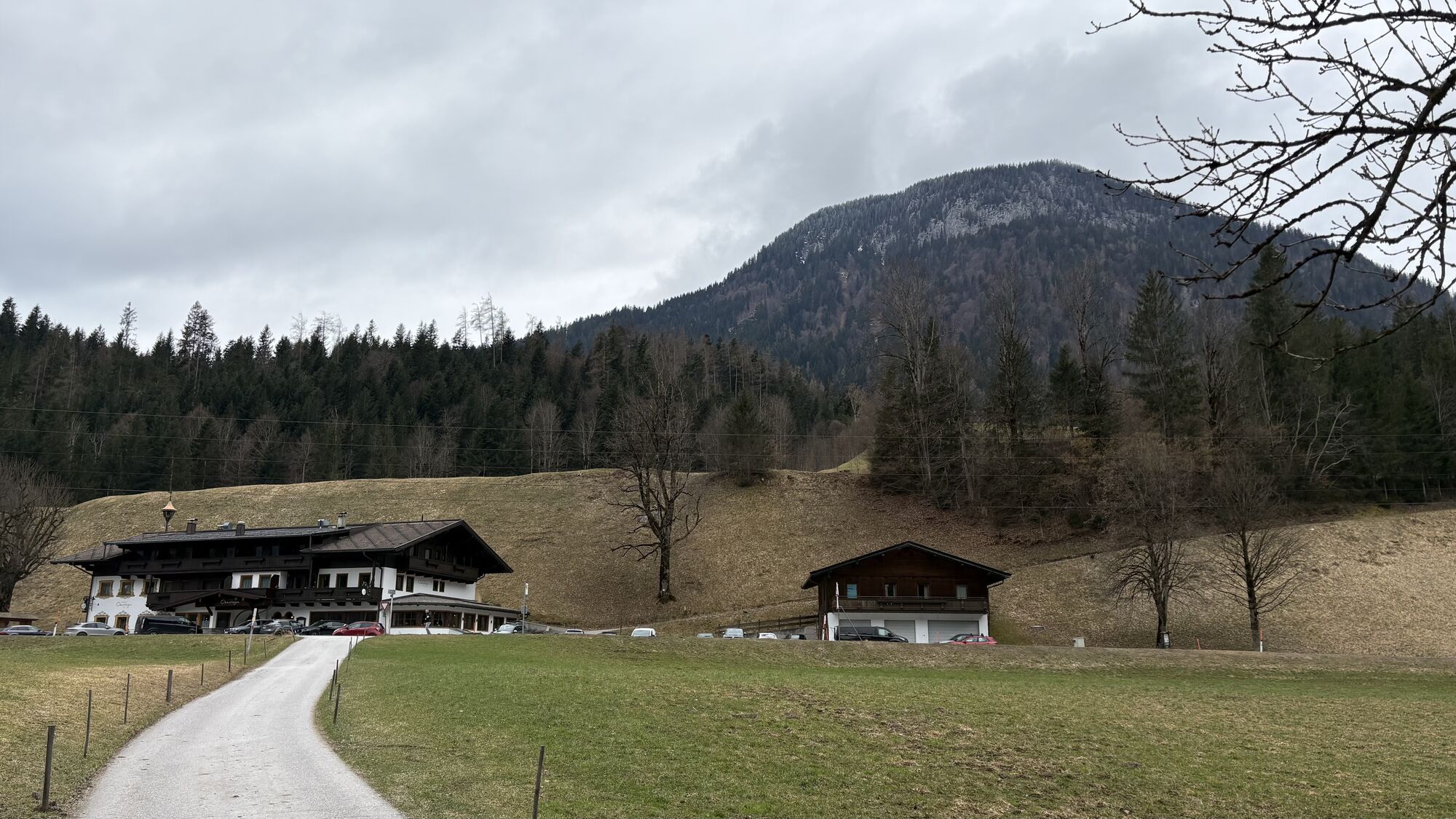
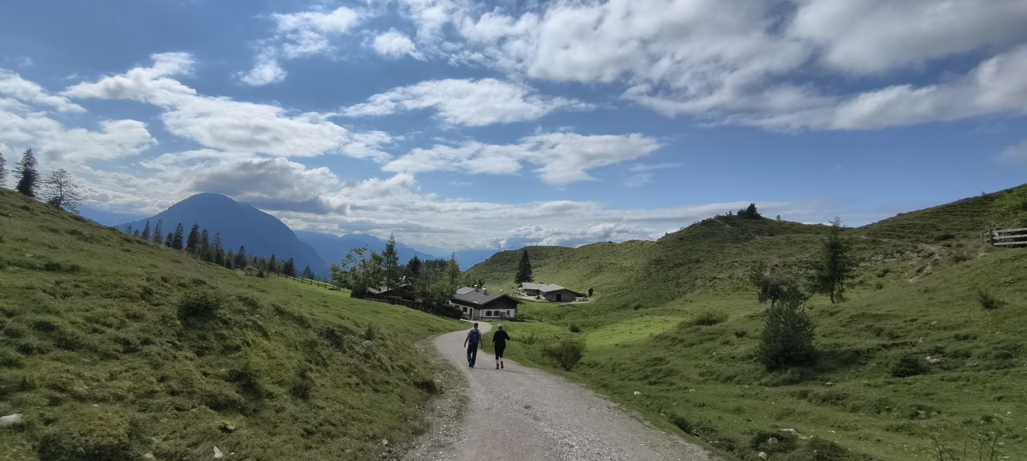
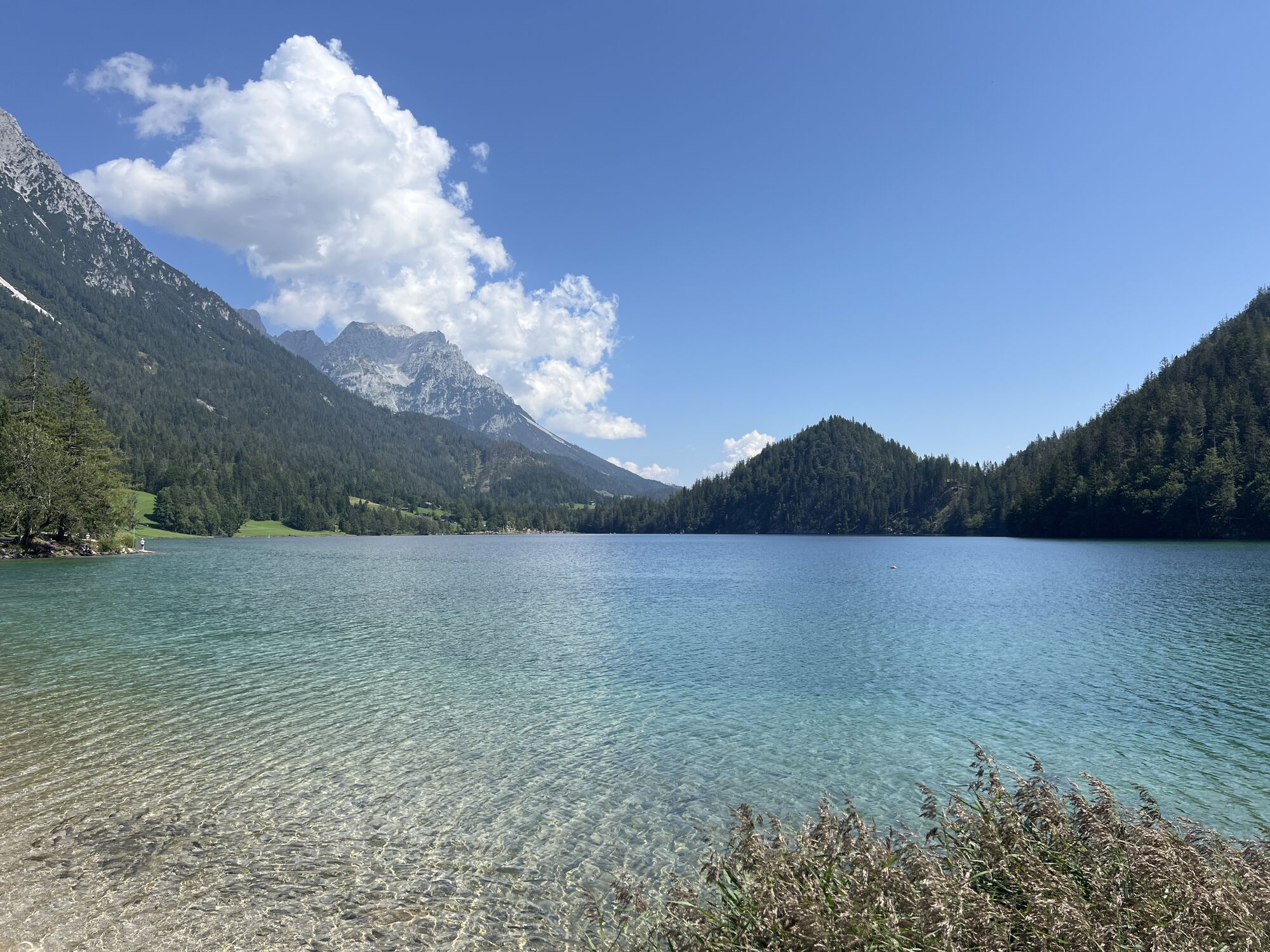
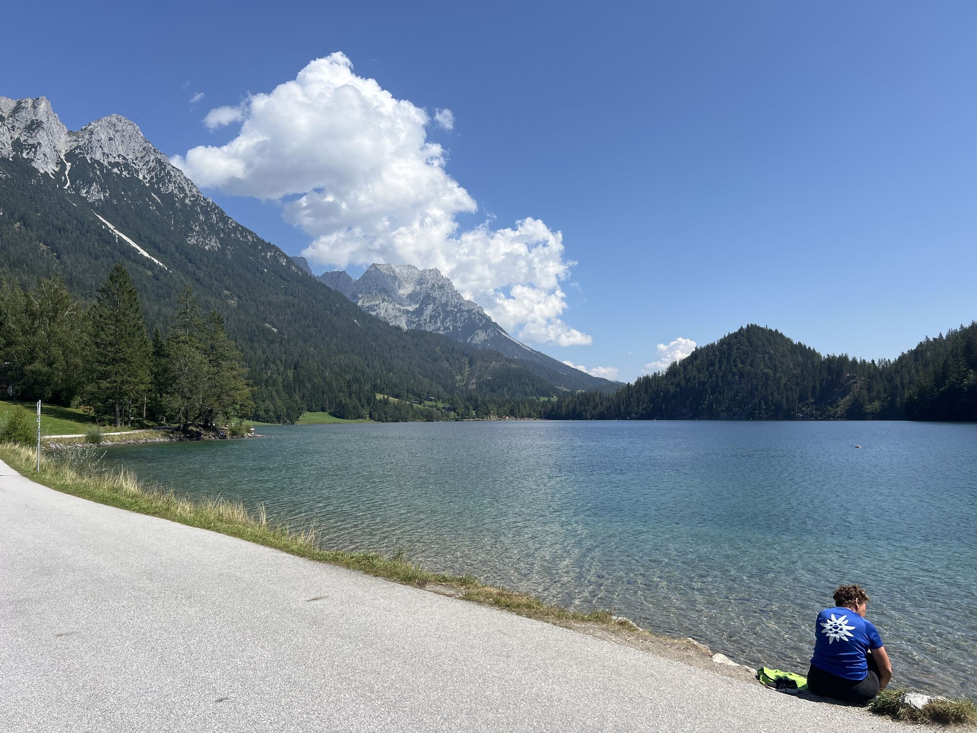
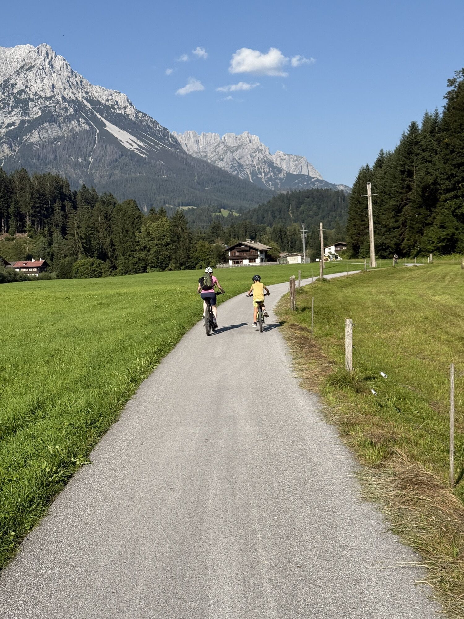
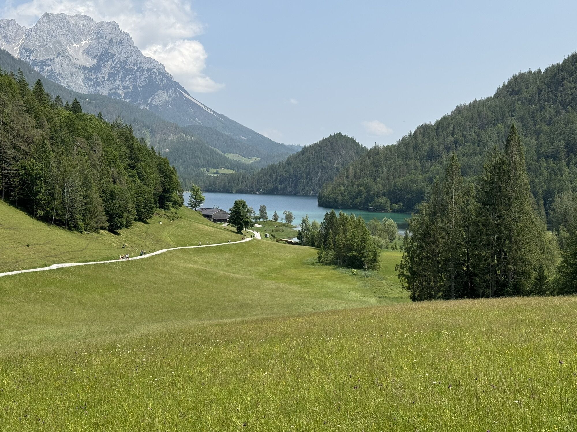
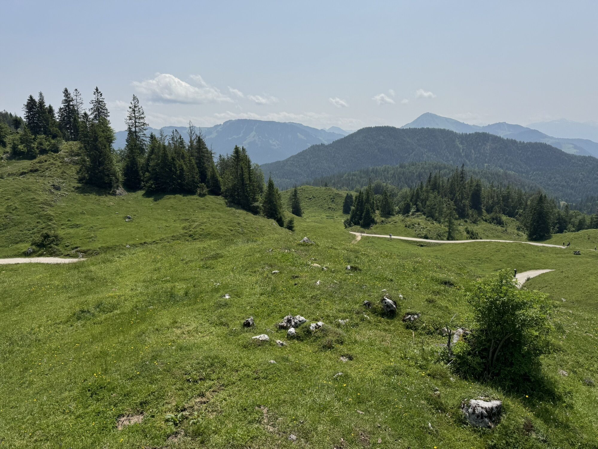
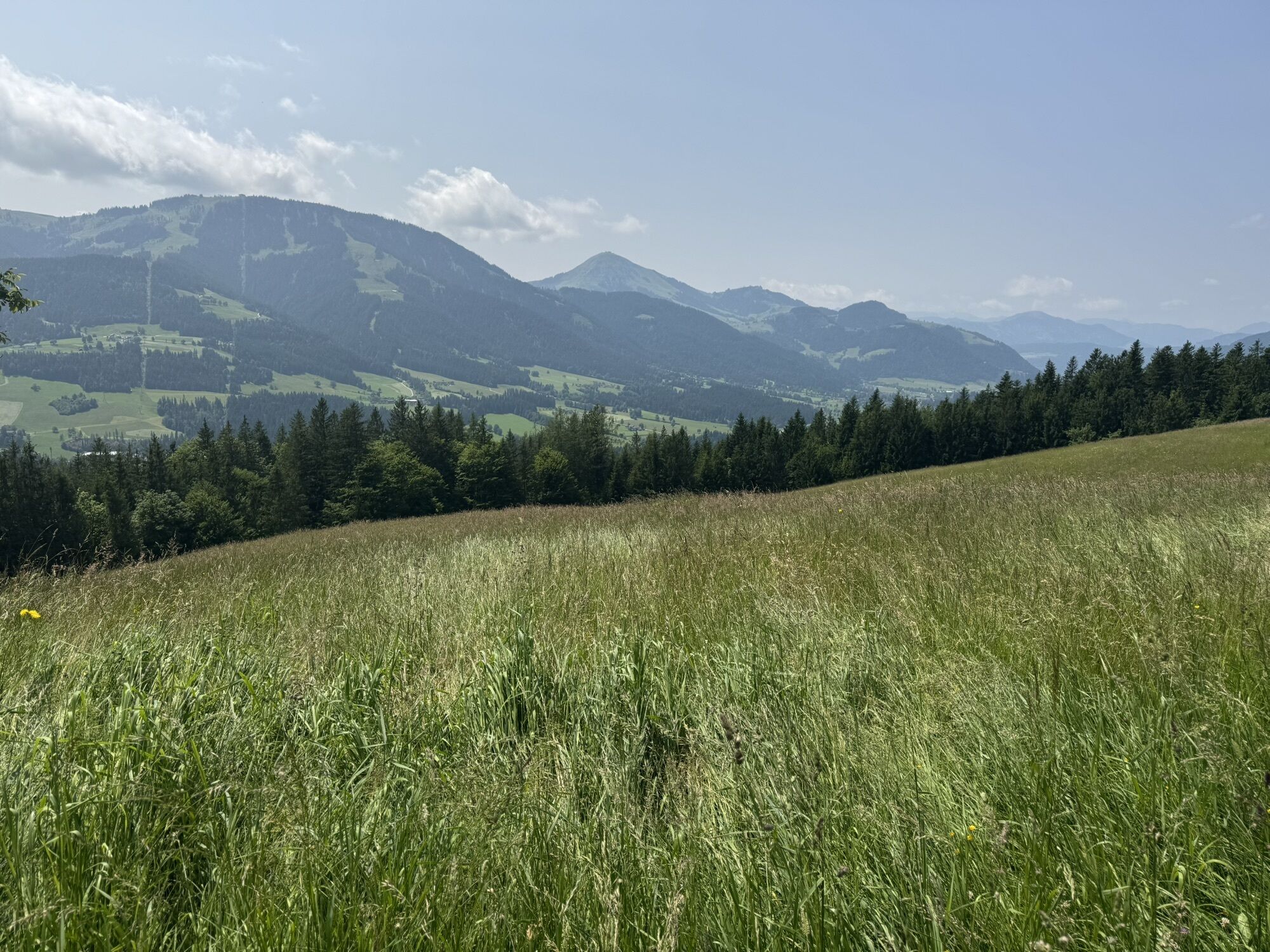
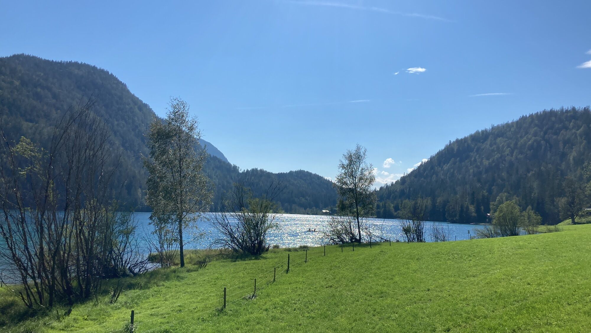
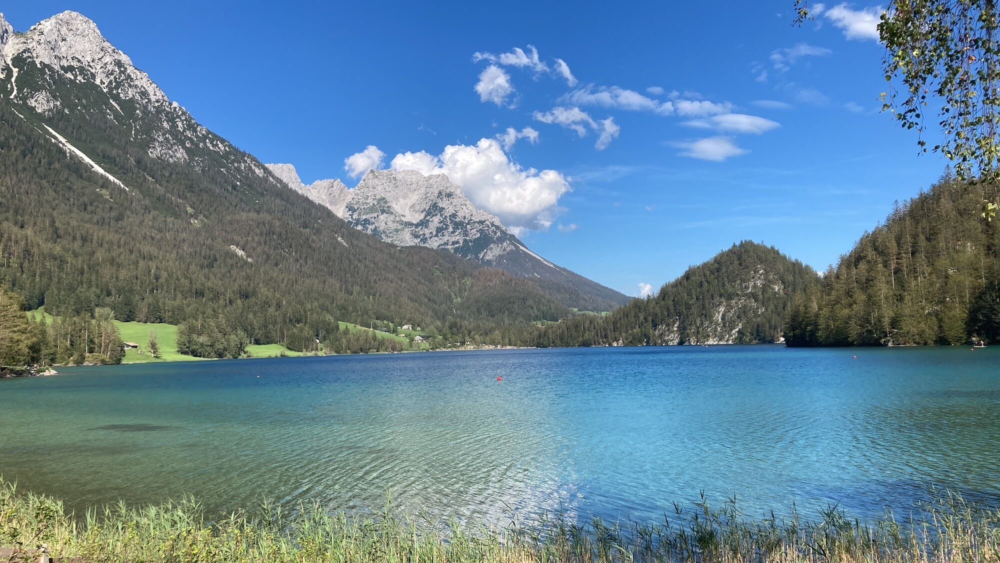
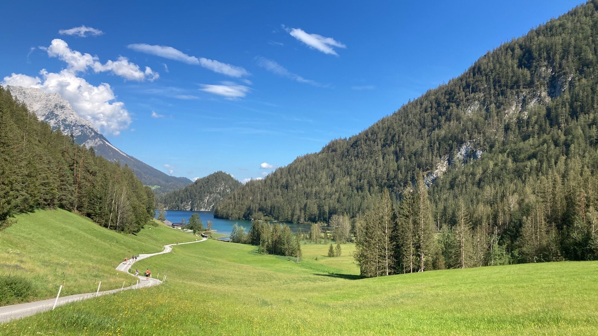
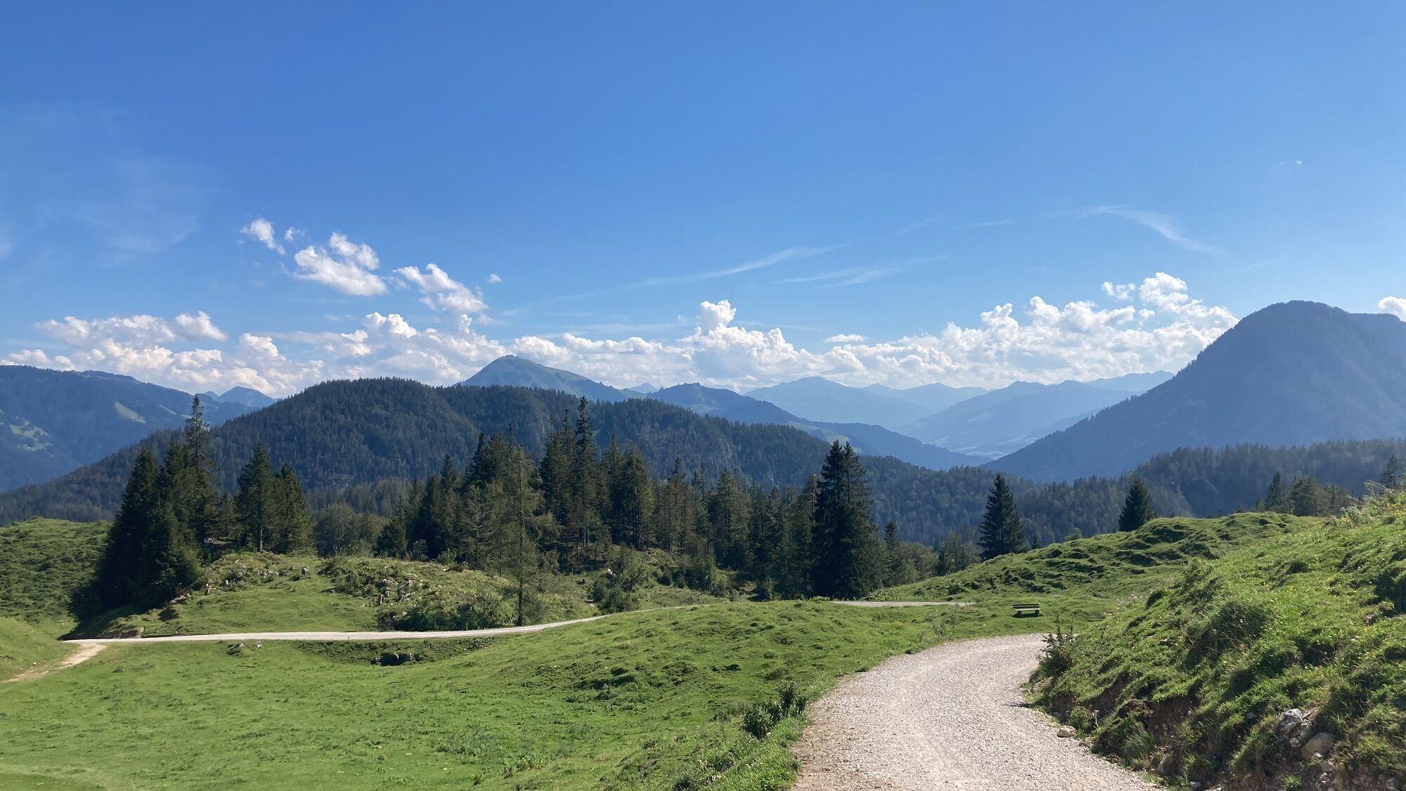
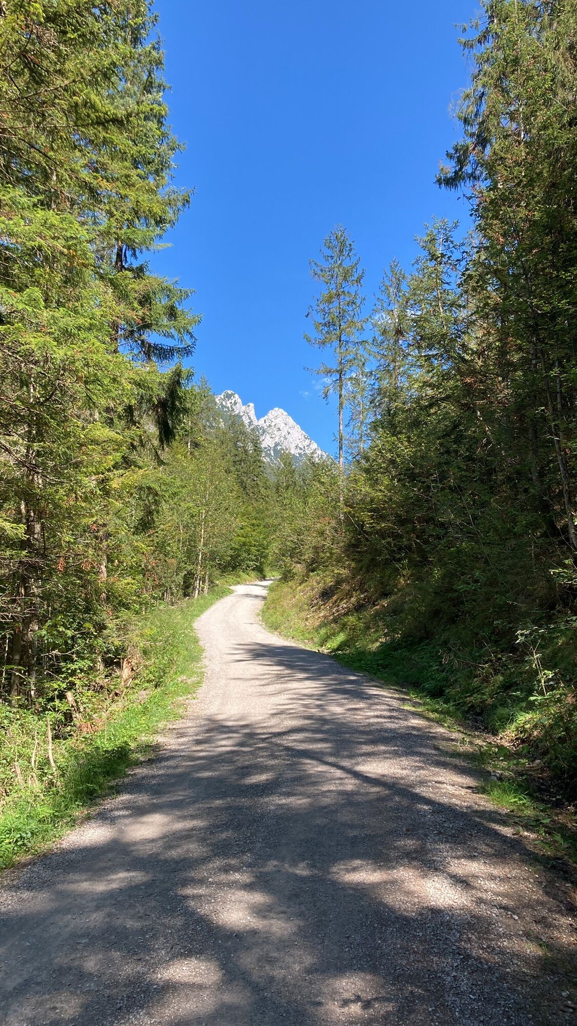
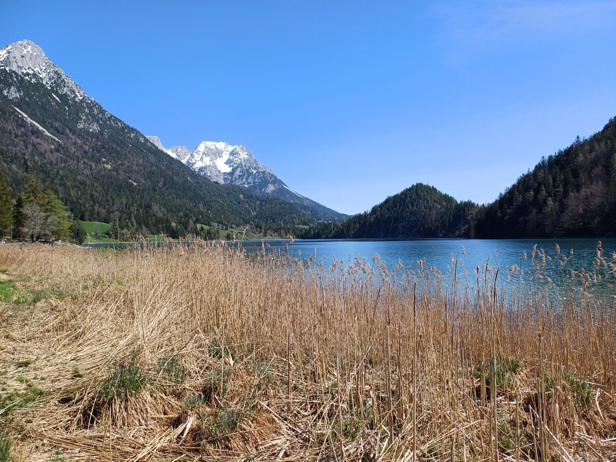
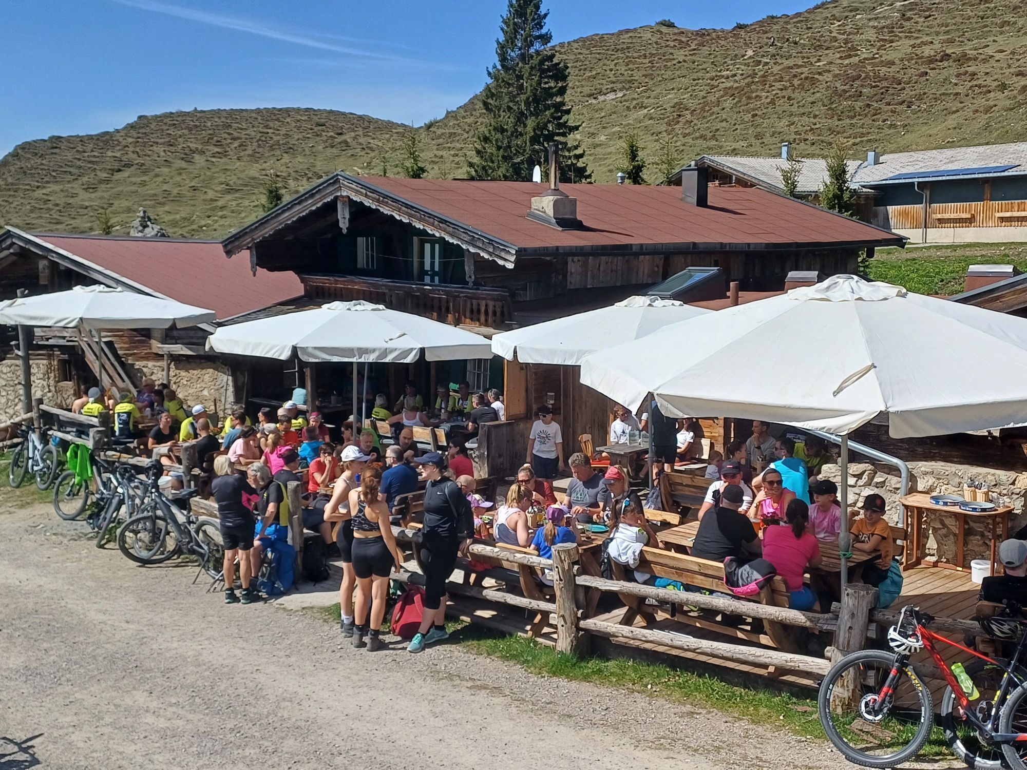
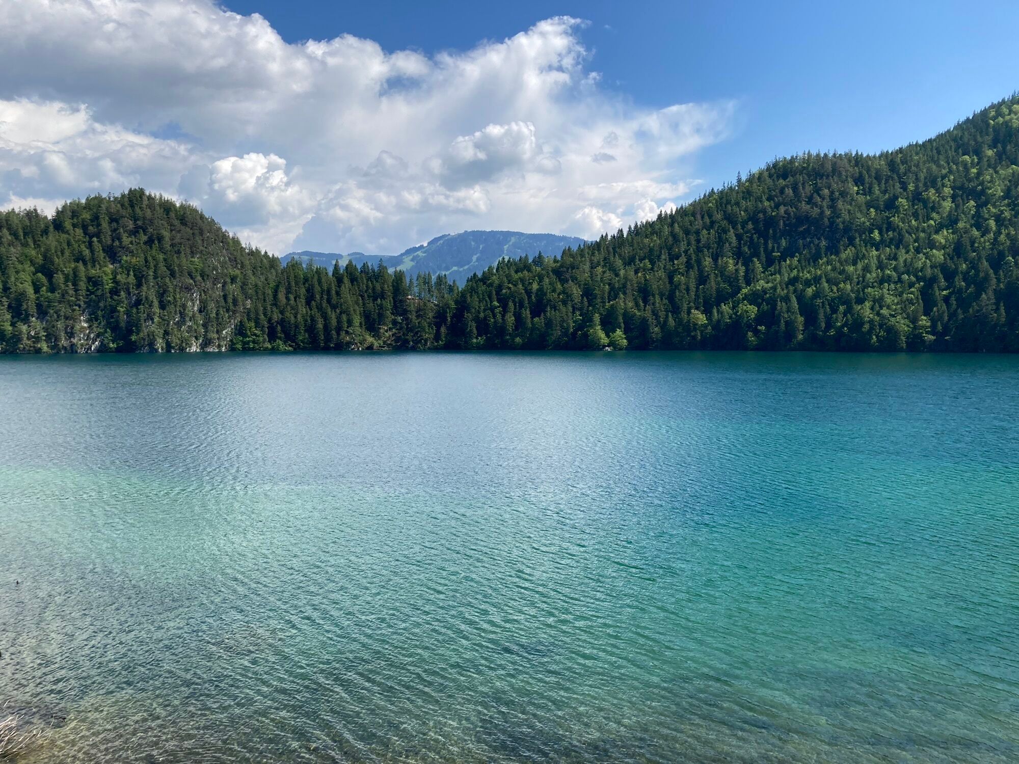
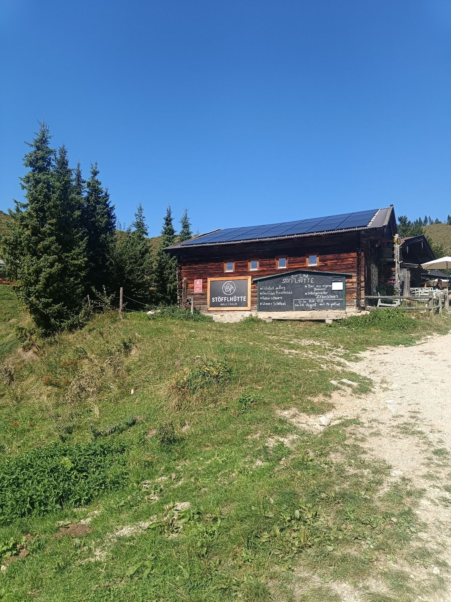
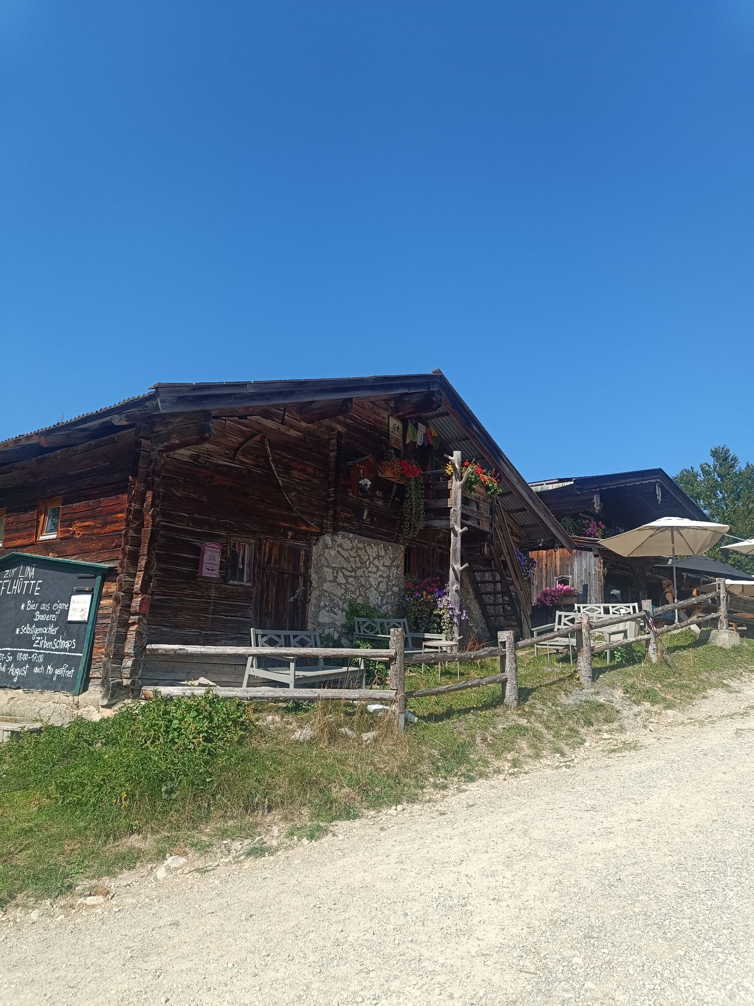
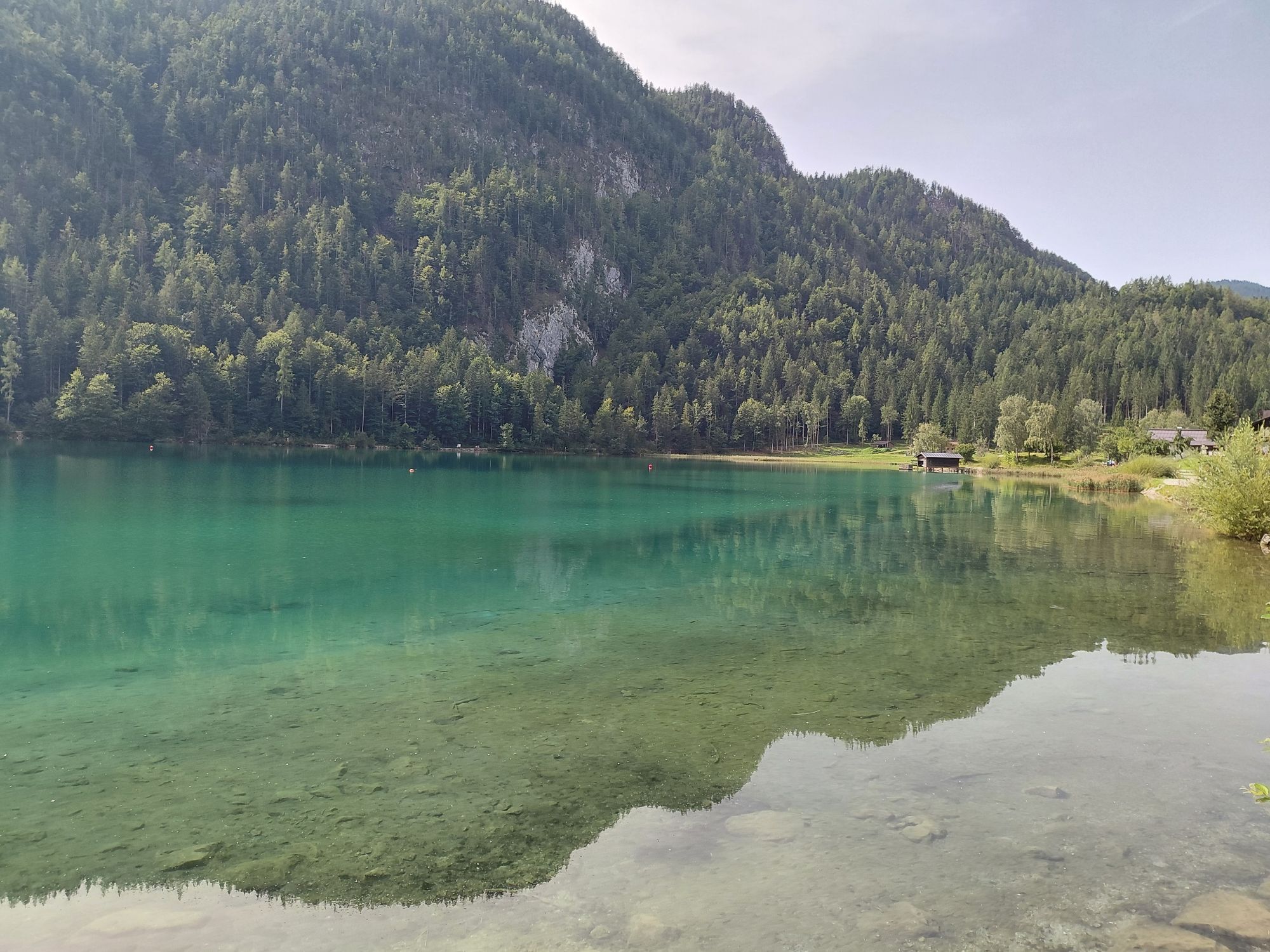
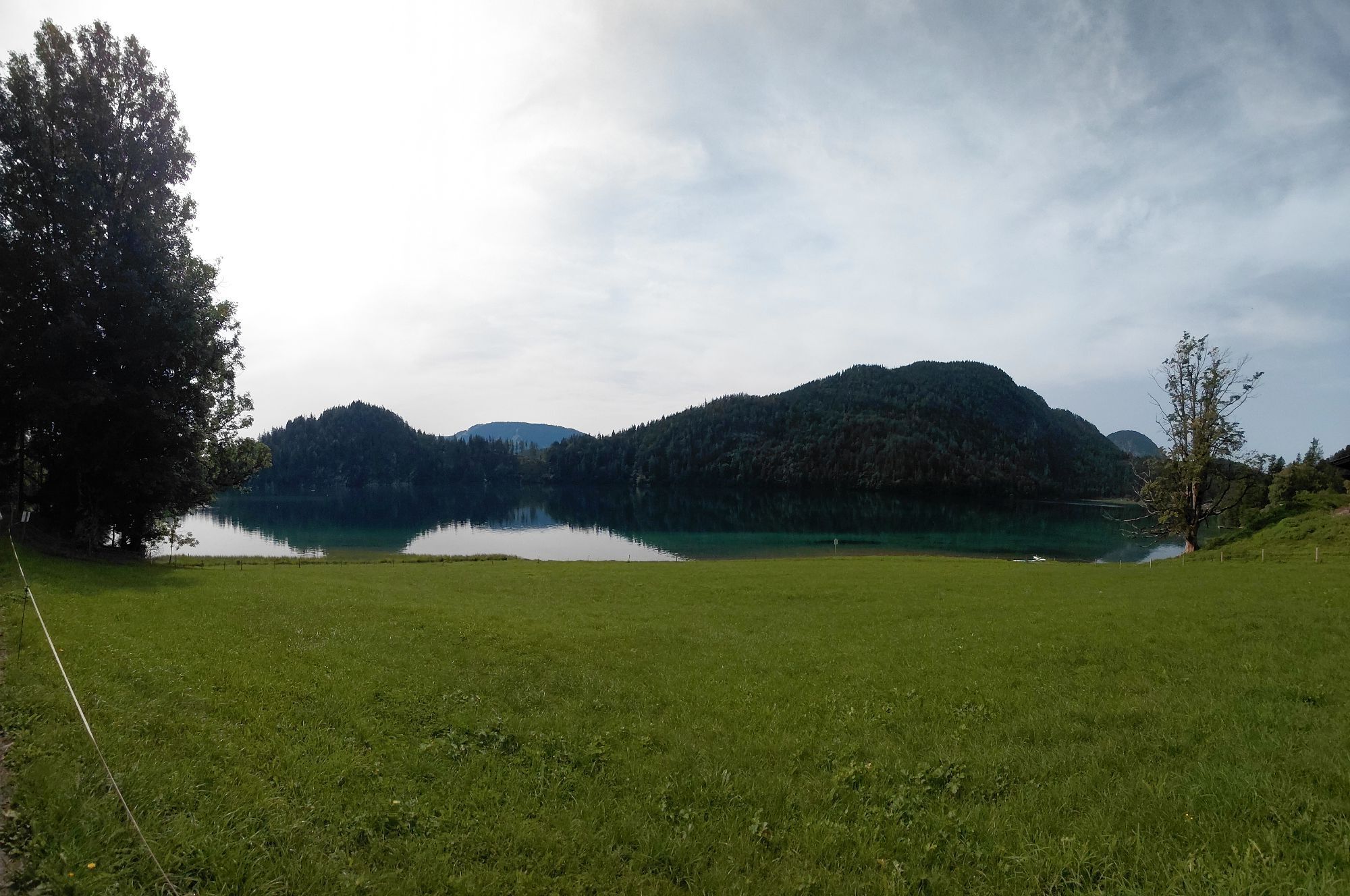
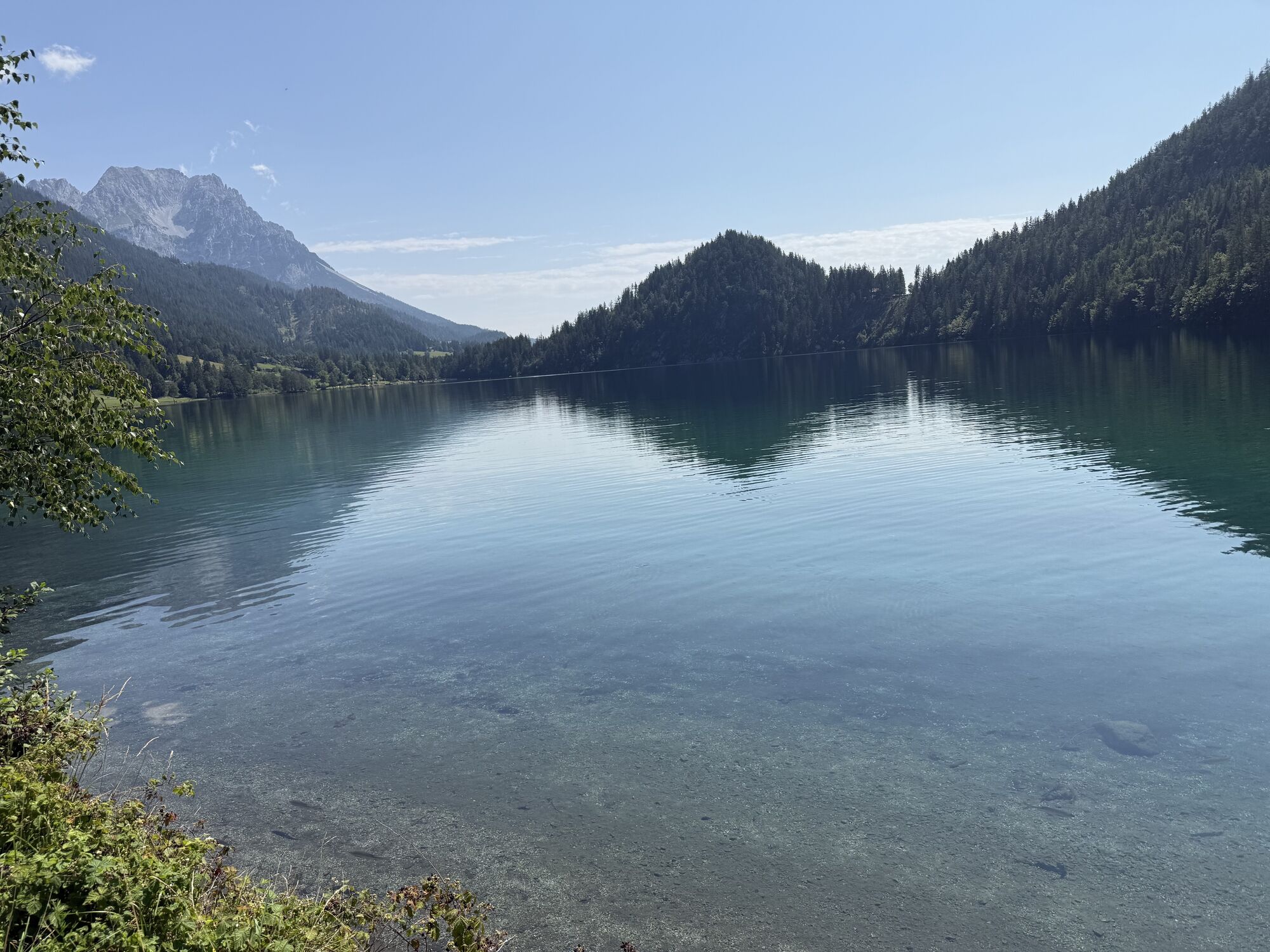
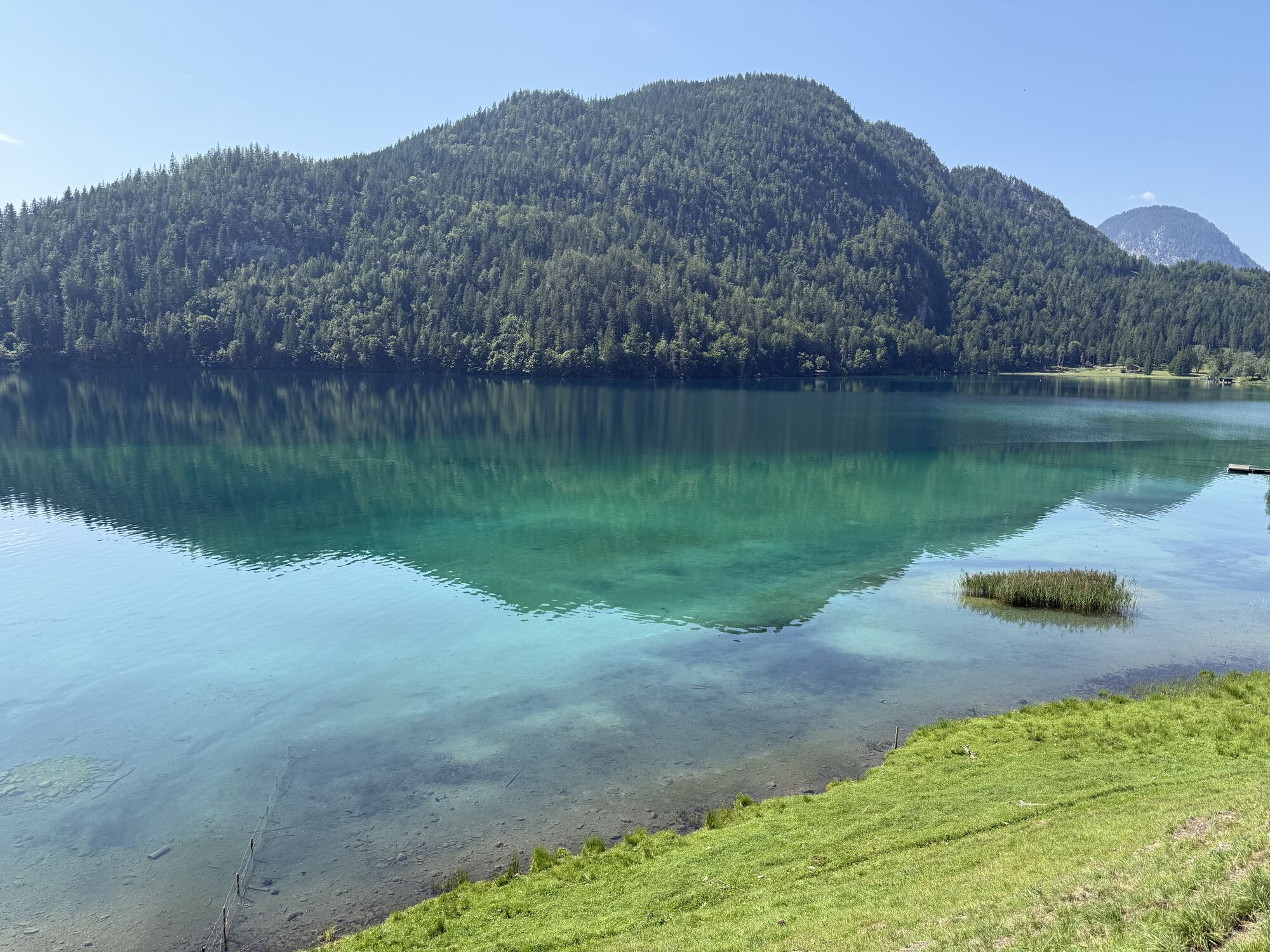
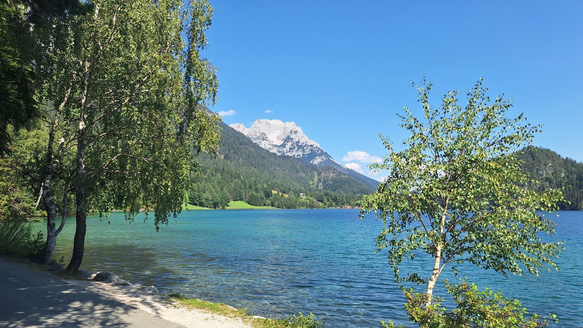
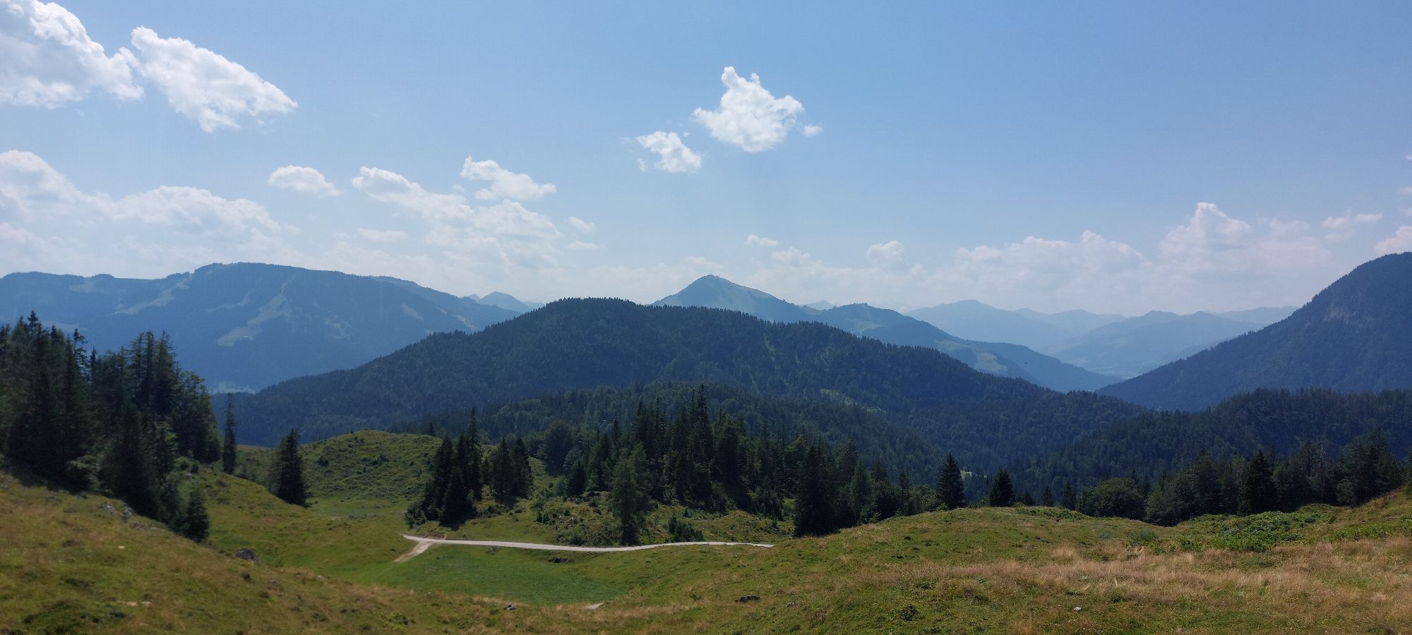
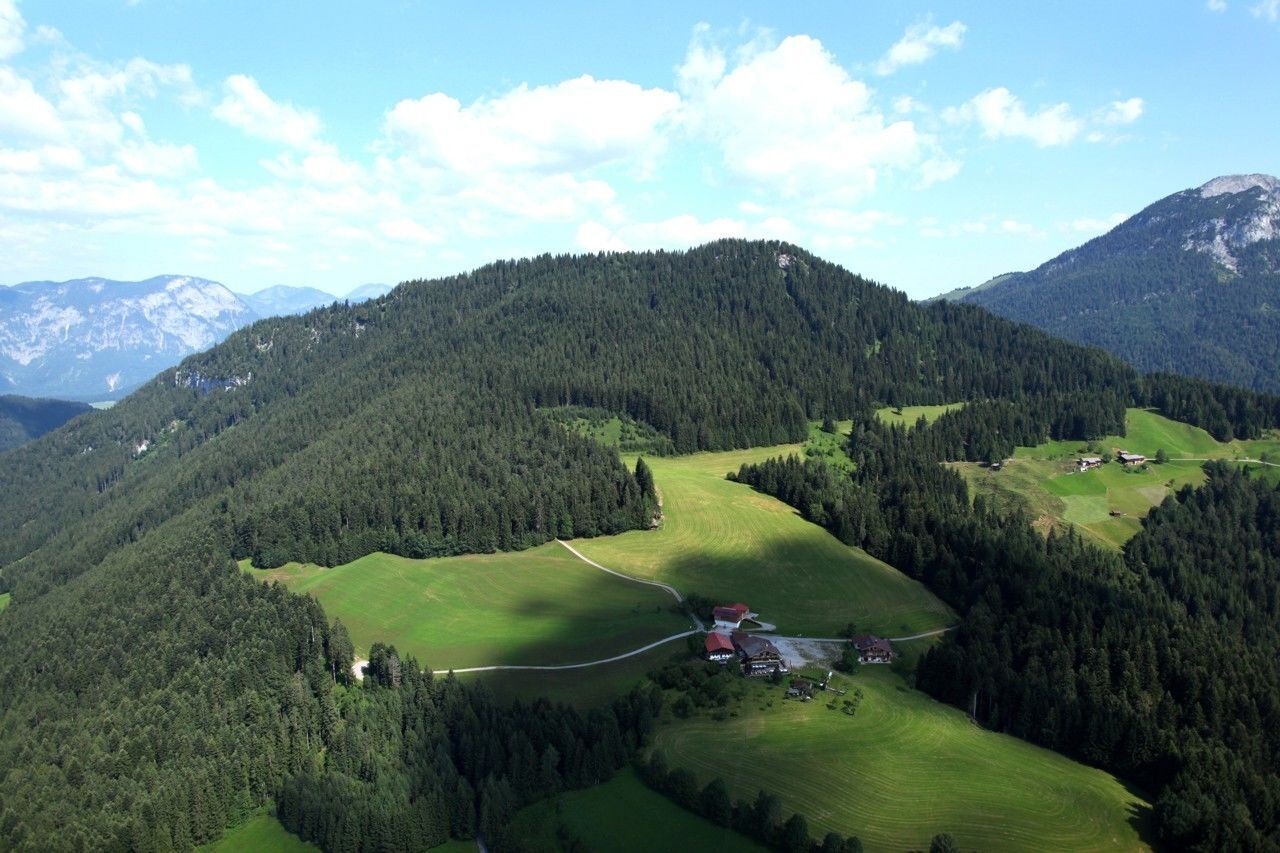
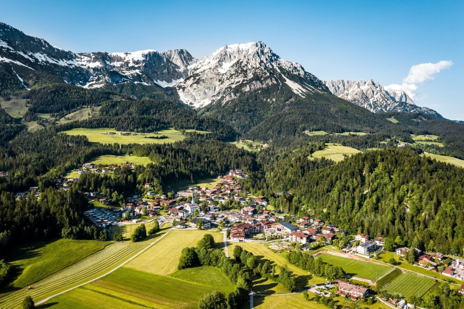
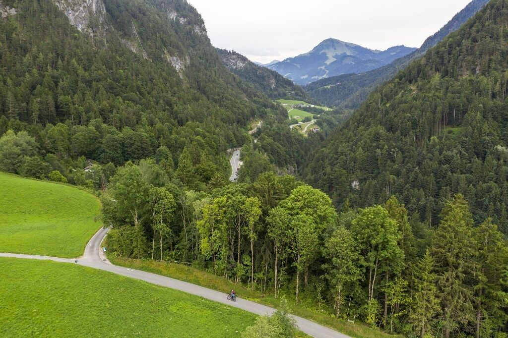
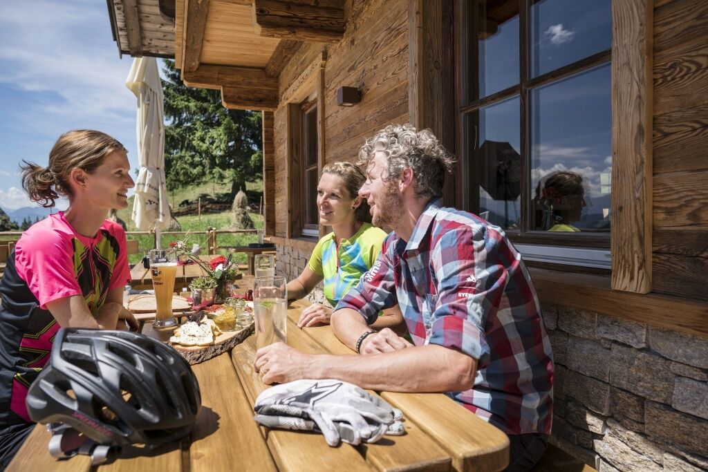
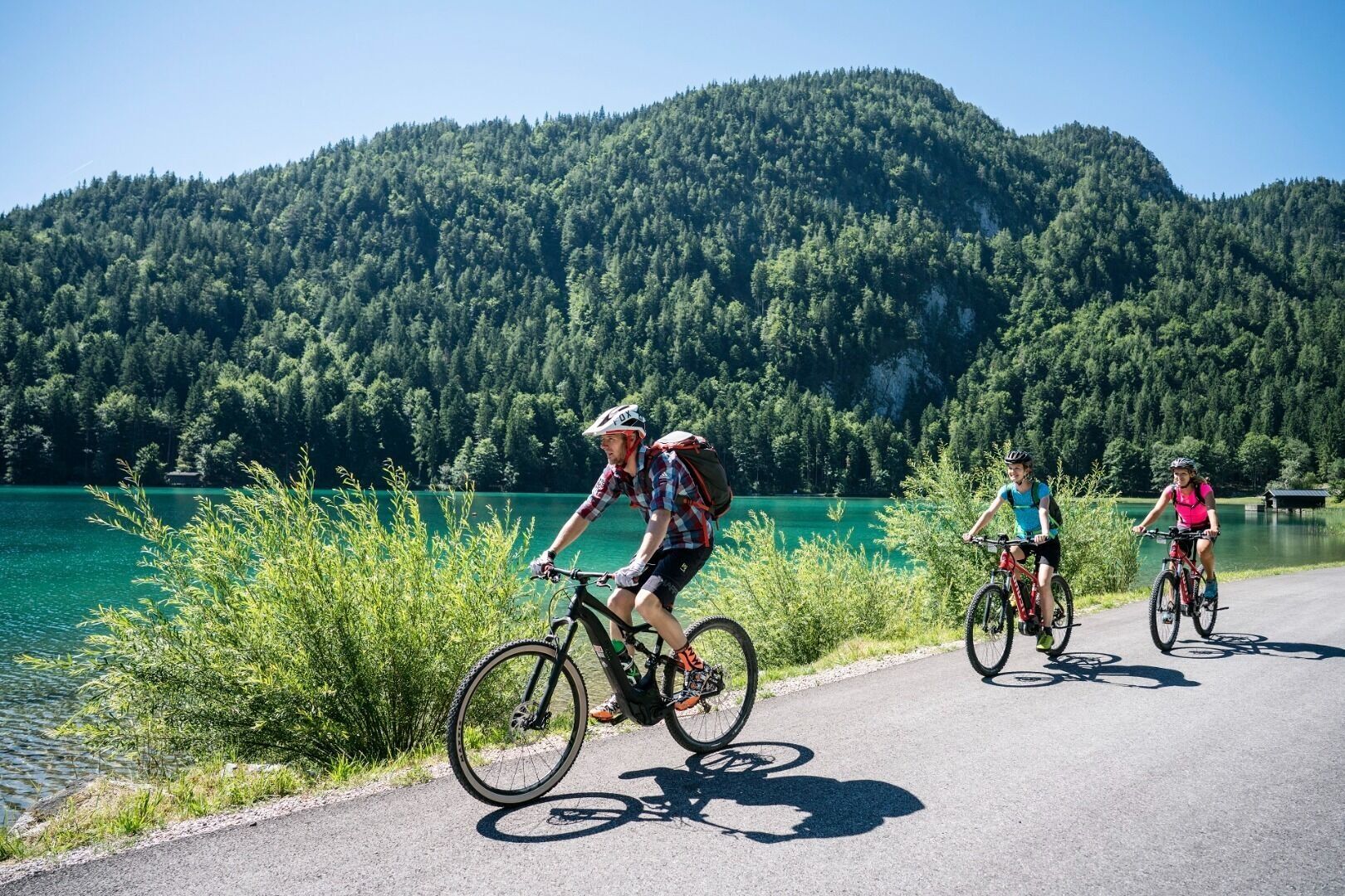
From Scheffau, start on cycle path no. 14 towards Söll and continue on cycle path no. 28 towards Kufstein. Before the quarry, turn right onto MTB trail no. 354 towards Walleralm. Here you cycle uphill along the forest path until you arrive at the Walleralm with three cosy huts. After a break, return along the same route to the first junction - here you turn left and cycle to the Maier snack station and Hintersteiner See lake. From here you follow the MTB tour no. 338, cycling along the crystal-clear lake on the road to the Seestüberl. Past the Bärnstatt inn, turn left at the next junction and keep right downhill at the next fork in the road. At the junction with the asphalt road, turn right, an almost 180° bend. Now it's a leisurely downhill return to Scheffau.
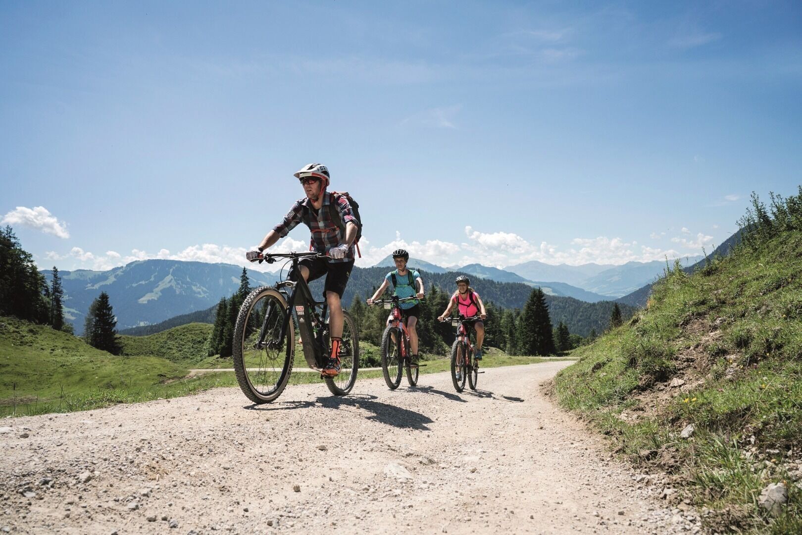

Cycle helmet, comfortable cycling clothes, a change of clothes, wind protection, cycling gloves, poss. rucksack with water bottle and food, first aid kit, poss. servicing/repair kit, bike map, route description and information materials (GPX track), ID, insurance card, cash
Heading from Wörgl, Kufstein or St. Johann on the B178 road, take the exit to Scheffau. Turn left immediately after the church, then drive past the community hall where you reach the public car park on the right-hand side.
Public car park, Scheffau (740 m), north of the Community Hall - free
Webcams der Tour


Beliebte Touren in der Nähe
- 4,9
Kirchdorf: Kaiserbachtal - Stripsenkopf und Feldberg
schwerWanderung 12,6 km - 4,9
Schleierwasserfall Runde
mittelWanderung 5,63 km - 4,8
Gruttenhütte über Klammlweg
mittelWanderung 5,61 km - 4,9
Route 209: Brechhornhaus-Choralpe
schwerMountainbike 24,4 km - 4,9
Stripsenjoch Klettersteige/ Rundwanderung von Griesener Alm über Stripsenjochhaus und Feldberg
mittelKlettersteig 10,2 km - 5,0
Kirchdorf: Stripsenjoch Klettersteige
schwerKlettersteig 3,76 km - 4,8
Ellmauer Tor (22.07.2020)
mittelWanderung 9,32 km - 4,7
Musikantensteig zur Naunspitze
mittelWanderung 8,96 km - 4,7
Hintersteinersee
mittelWanderung 9,87 km - 4,8
Rehbachklamm
mittelWanderung 7,27 km
Wandern & Tracking


Verpasse keine Angebote und Inspirationen für deinen nächsten Urlaub
Deine E-Mail-Adresse wurde in den Verteiler eingetragen.





