


B - At the foot of the Pölven
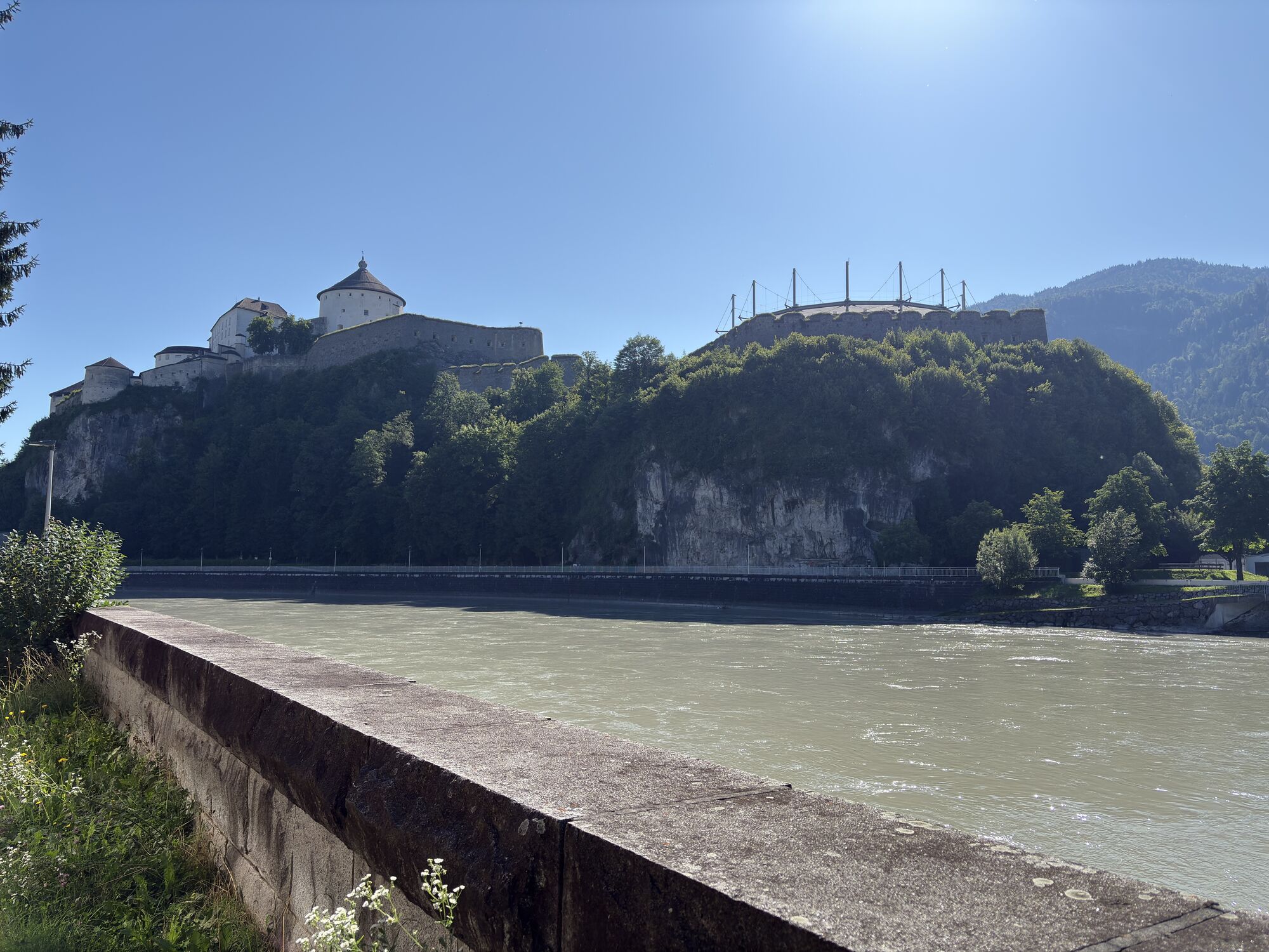
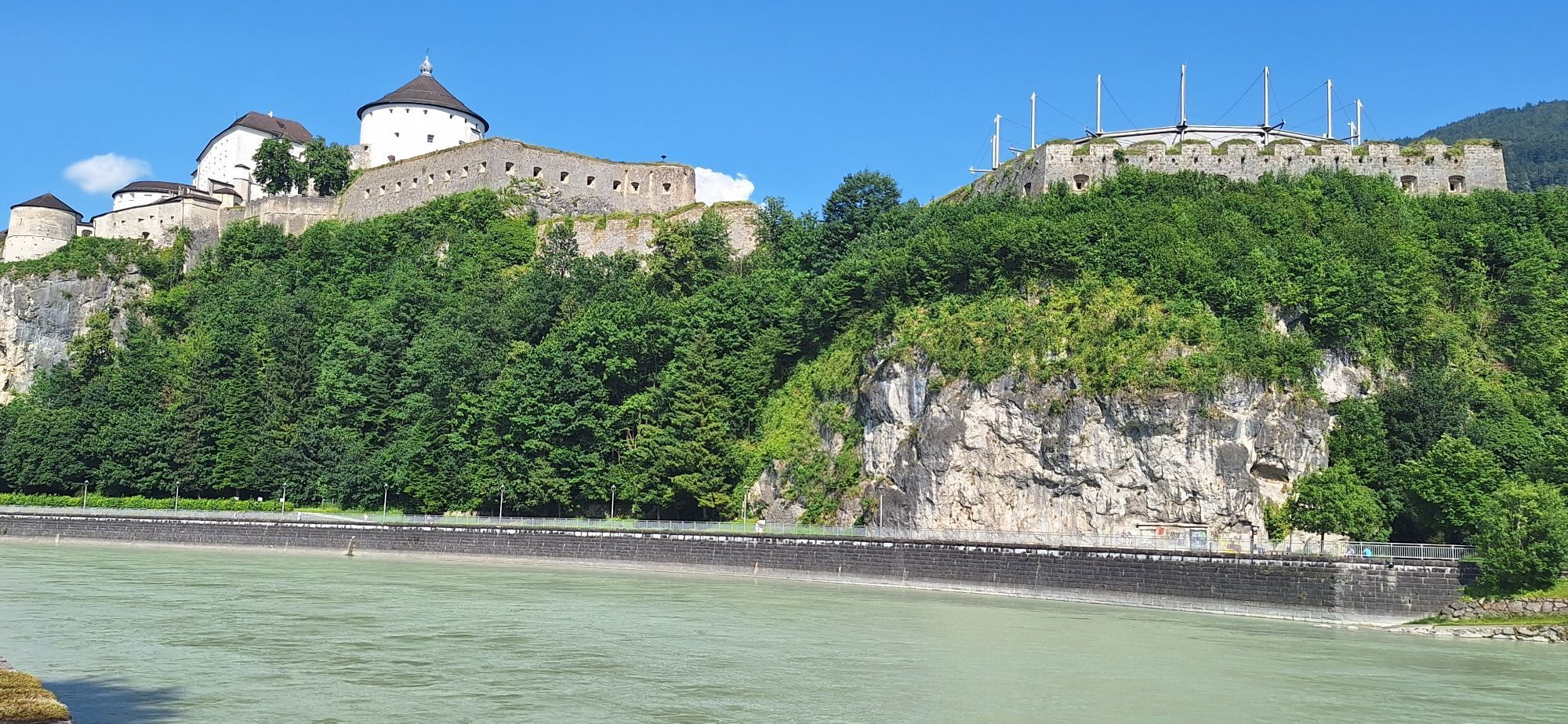
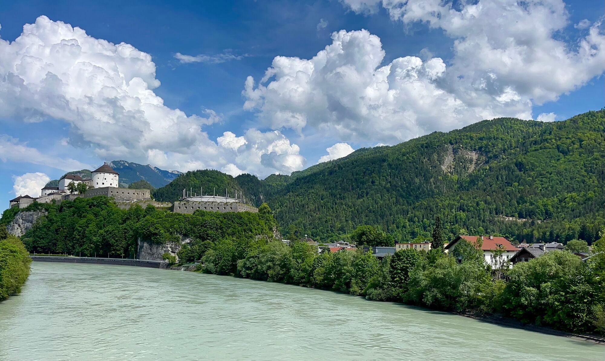
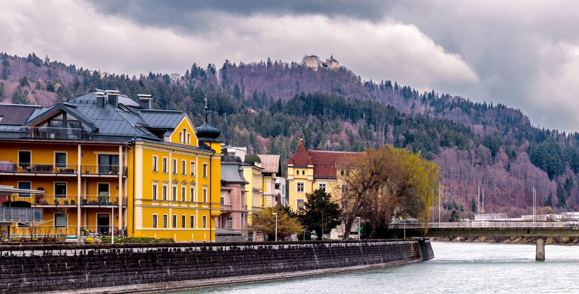
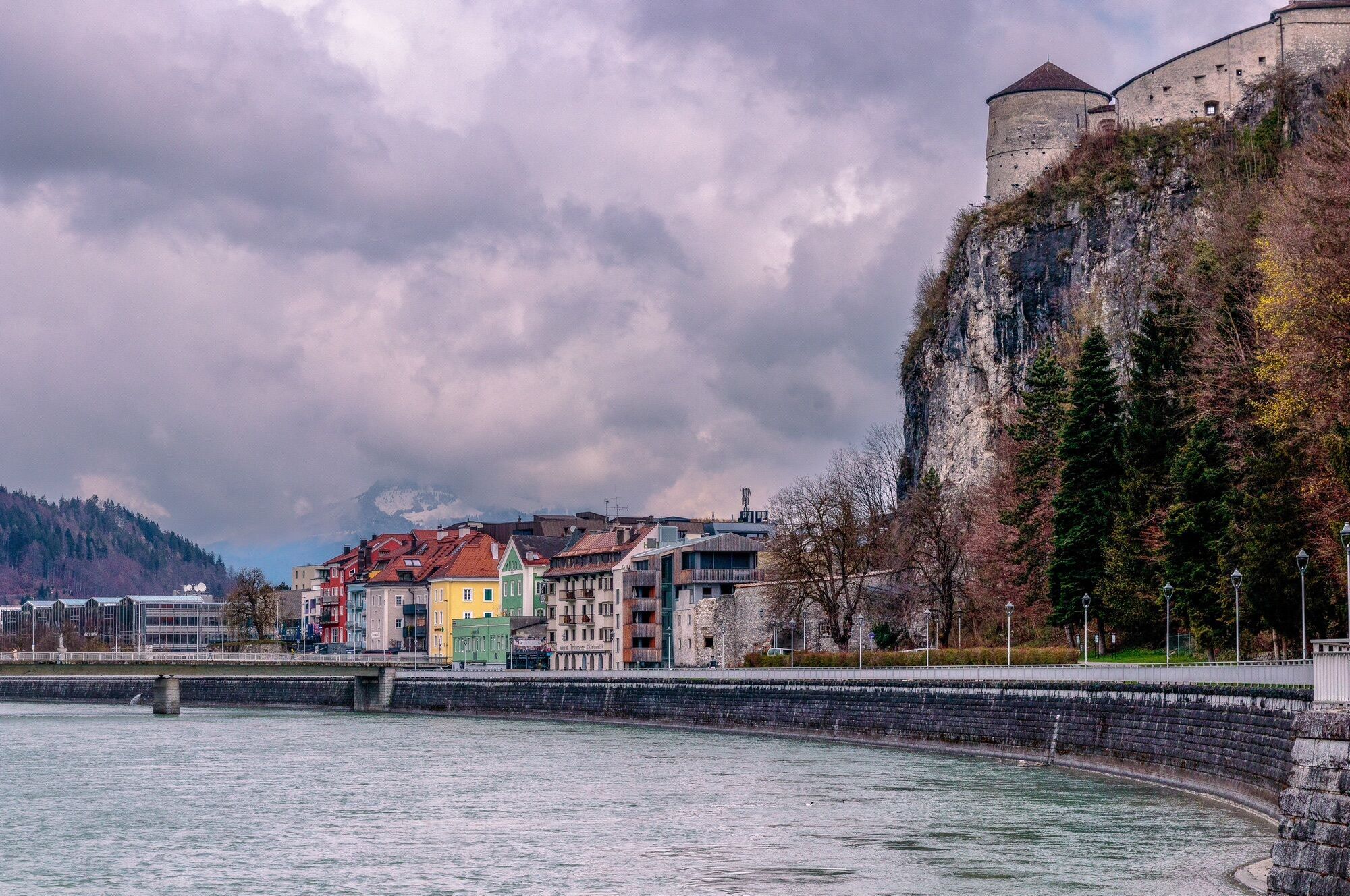
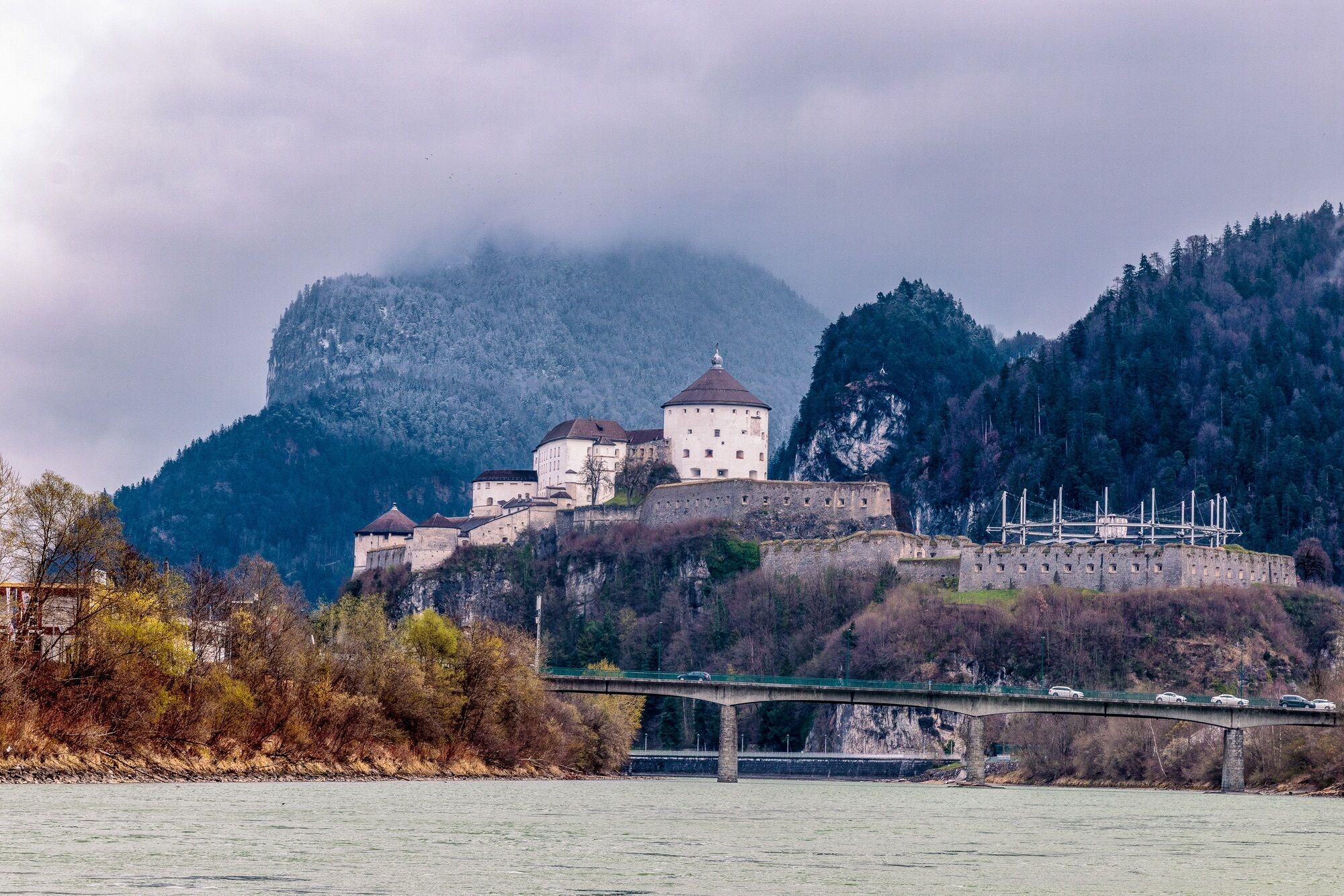
From the Inn footbridge, the tour starts by crossing the Inn river and leads upriver through the centre of Kufstein. Continuing on the Inn promenade, it's a few kilometres of leisurely pedalling upriver....
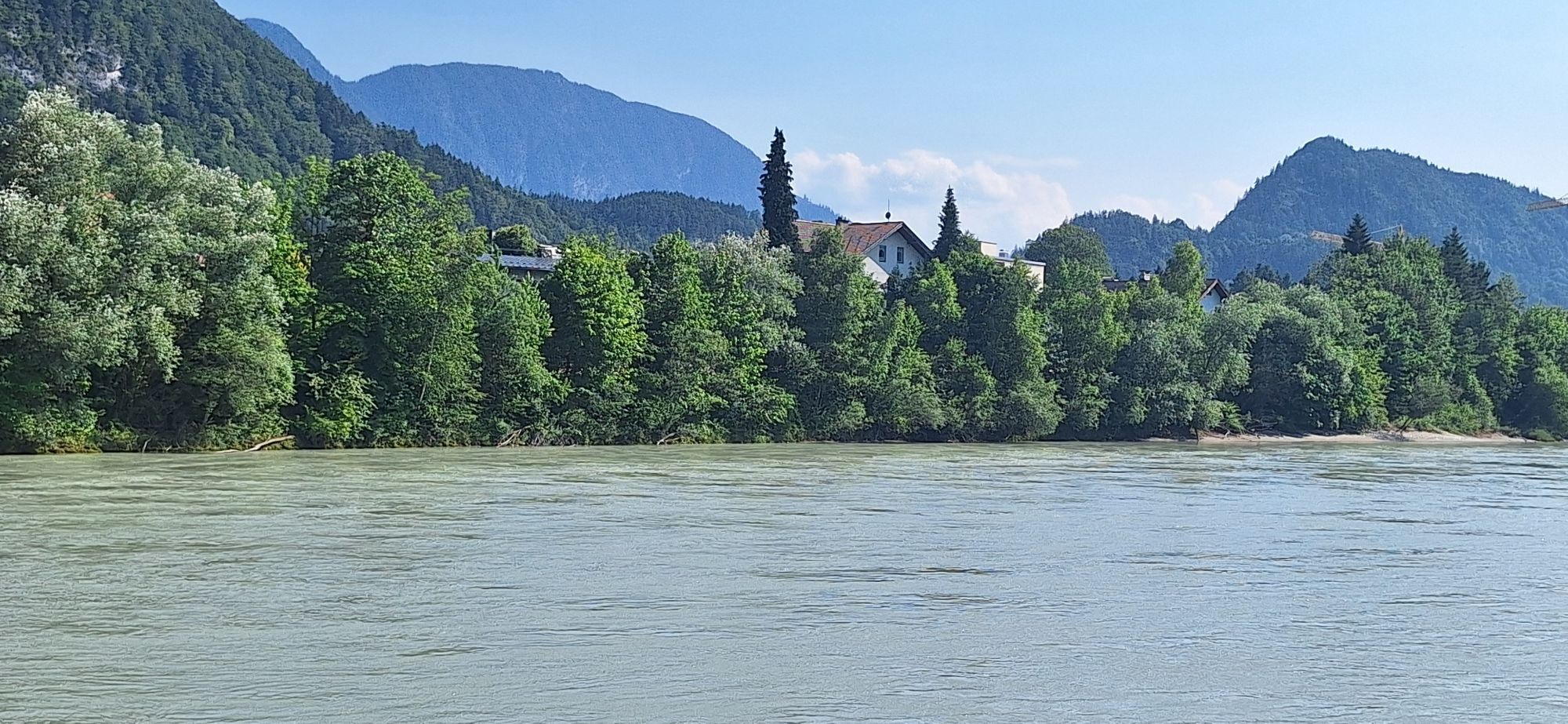
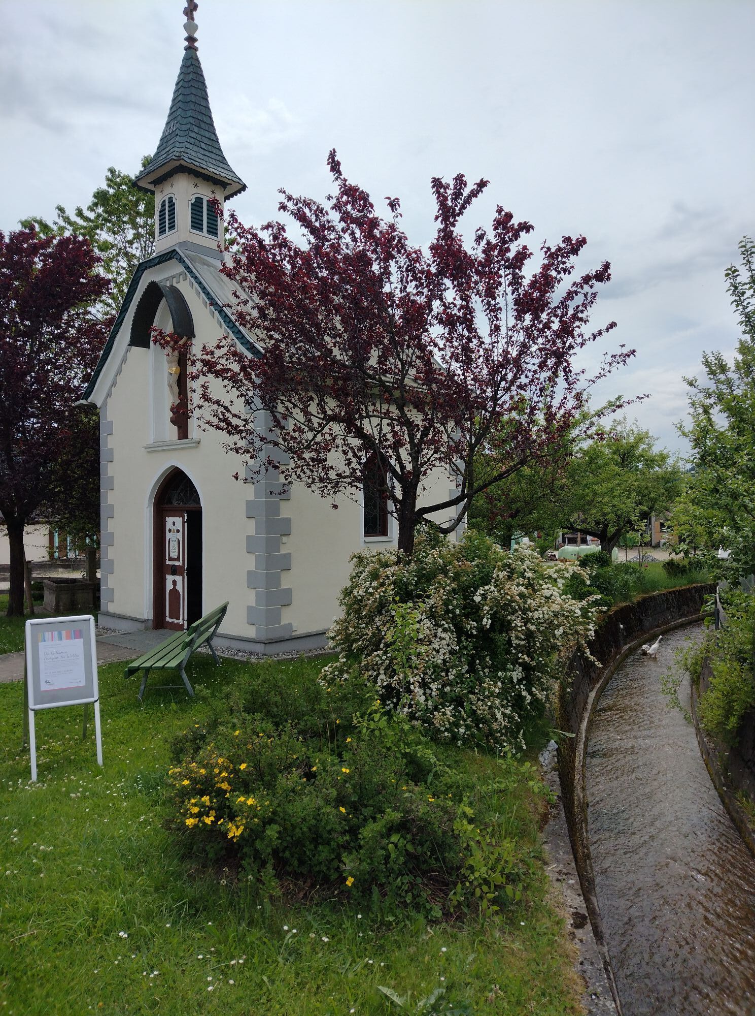
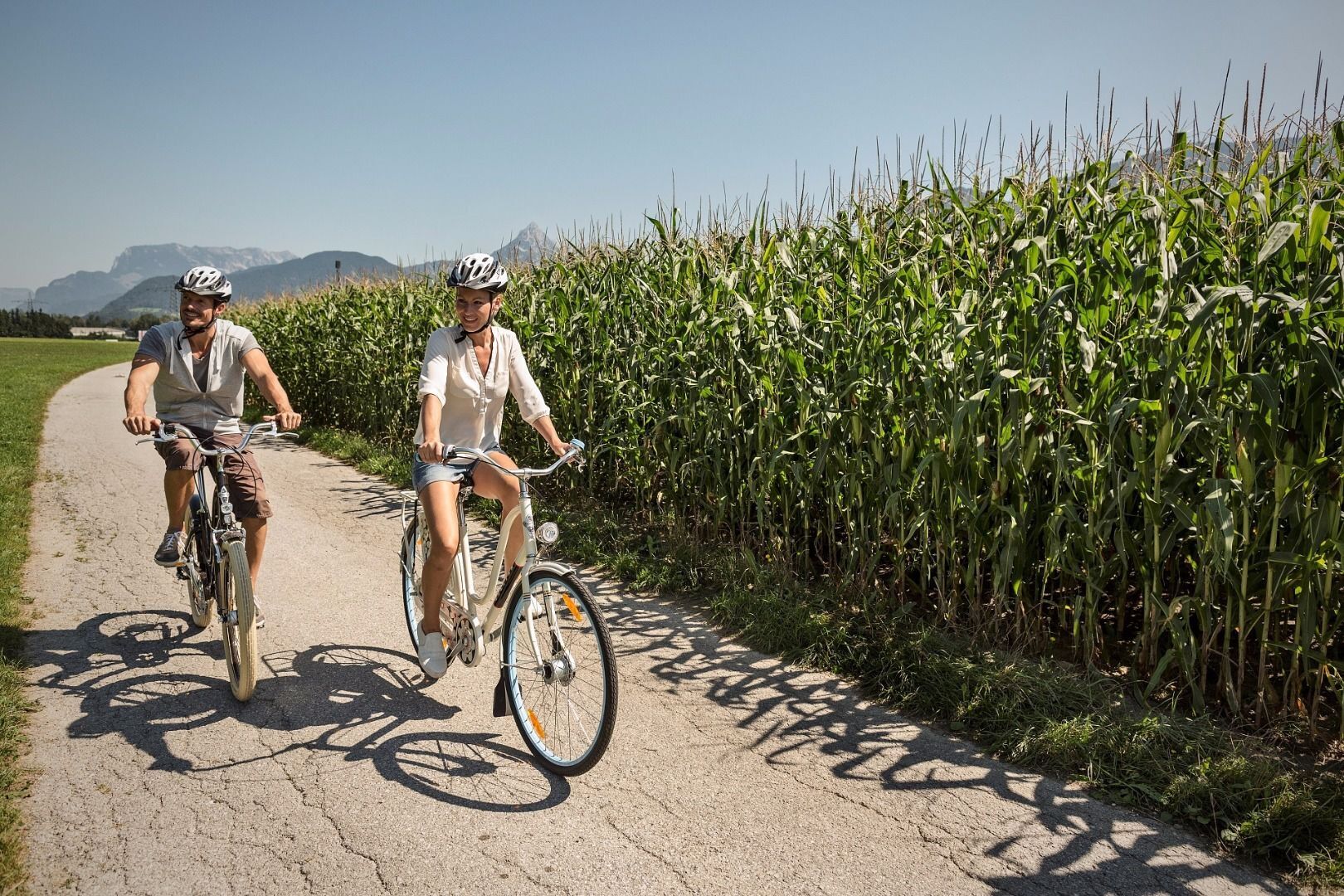
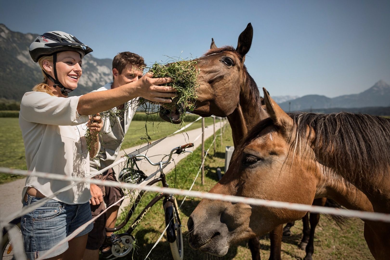
From the Inn footbridge, the tour starts by crossing the Inn river and leads upriver through the centre of Kufstein. Continuing on the Inn promenade, it's a few kilometres of leisurely pedalling upriver. In Kirchbichl, the route veers off in an eastern direction, crossing below the rails and along Bahnhof- and Häringerstrasse uphill into the health source of Bad Häring. At the crossroads of the Raiffeisen Bank, turn off to the left and follow the direction towards Schwoich. After Schwoich, keep in the left lane on Eibergstrasse. Now follow the road until you get to the third roundabout, where you take the third exit to the Inn promenade. Here you can leisurely keep cranking back to the starting point.
Cycling helmet, comfortable cycling clothing, change of clothes, wind protection, cycling gloves, possibly rucksack with water bottle and food, first aid equipment, possibly service/repair kit, cycling map, tour description and information material (GPX track), ID card, insurance card, cash
From the Inntal motorway A12, take the Kufstein Nord exit.
Kufstein main railway station is only a few minutes' walk from the starting point.
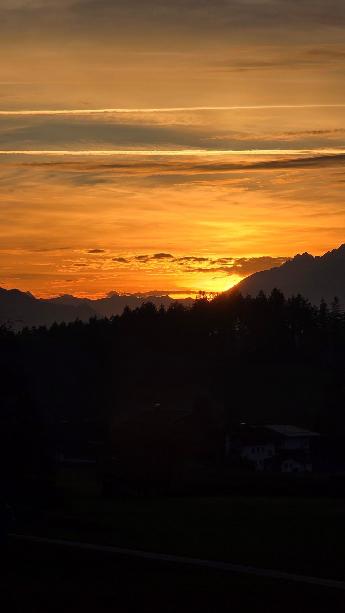
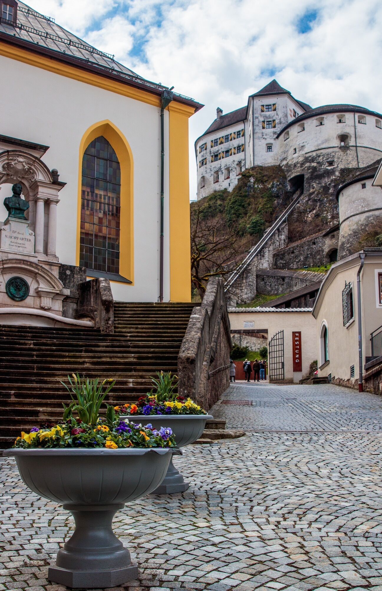
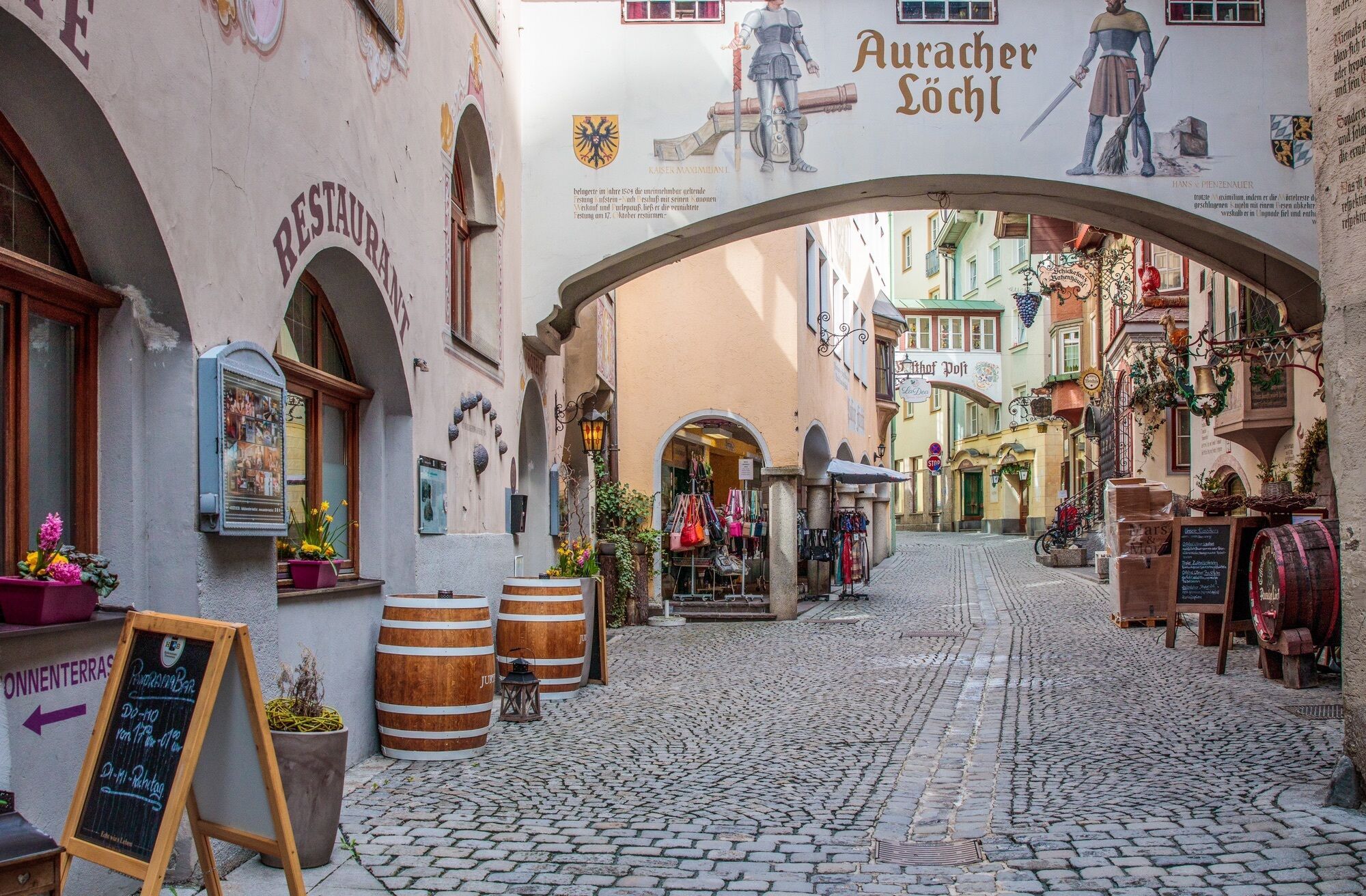
Kufstein centre
Beliebte Touren in der Nähe
- 4,6
Rosskopf
leichtWanderung 7,02 km - 4,7
Musikantensteig zur Naunspitze
mittelWanderung 8,96 km - 5,0
Stripsenjoch Klettersteige/ Rundwanderung von Griesener Alm über Stripsenjochhaus und Feldberg
mittelKlettersteig 10,2 km - 4,6
Hintersteinersee
mittelWanderung 9,87 km - 4,5
Über Hintersteinersee und Walleralm aufs Hochegg
leichtWanderung 12,2 km - 4,5
Wanderung um den Hintersteinersee
leichtWanderung 5,29 km - 4,8
Ellmauer Tor (22.07.2020)
mittelWanderung 9,32 km - 4,2
Bergdoktor Wohnhaus "Gruberhof" (Köpfing Hof) Rundeweg-Söll
leichtWanderung 8,70 km - 4,6
Pyramidenspitze, Vordere Kesselschneid
schwerWanderung 12,8 km - 5,0
Kirchdorf: Stripsenjoch Klettersteige
schwerKlettersteig 3,76 km
Wandern & Tracking


Verpasse keine Angebote und Inspirationen für deinen nächsten Urlaub
Deine E-Mail-Adresse wurde in den Verteiler eingetragen.