




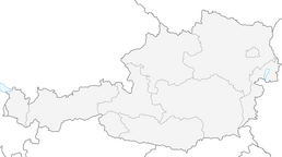


Güttlersteig to Sonneck Wilder Kaiser
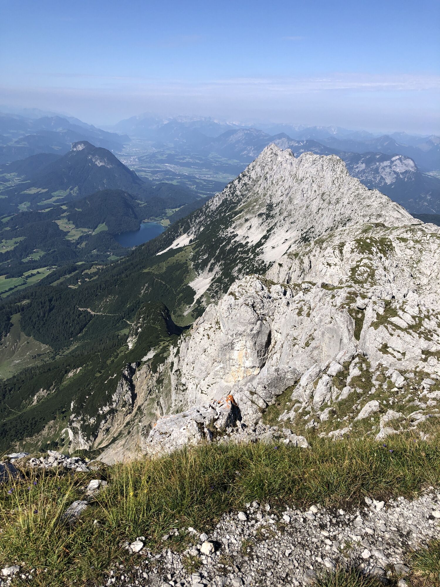
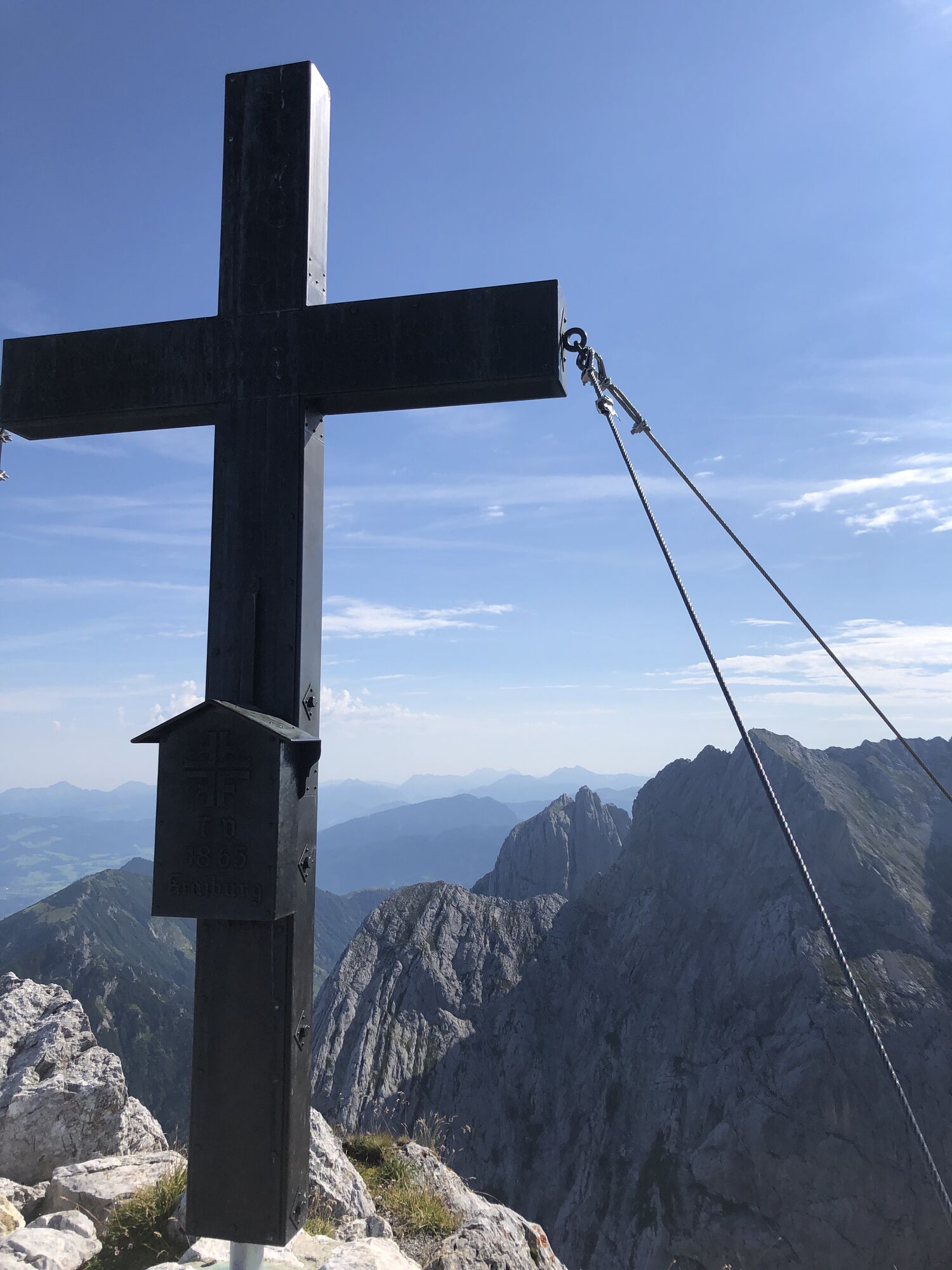
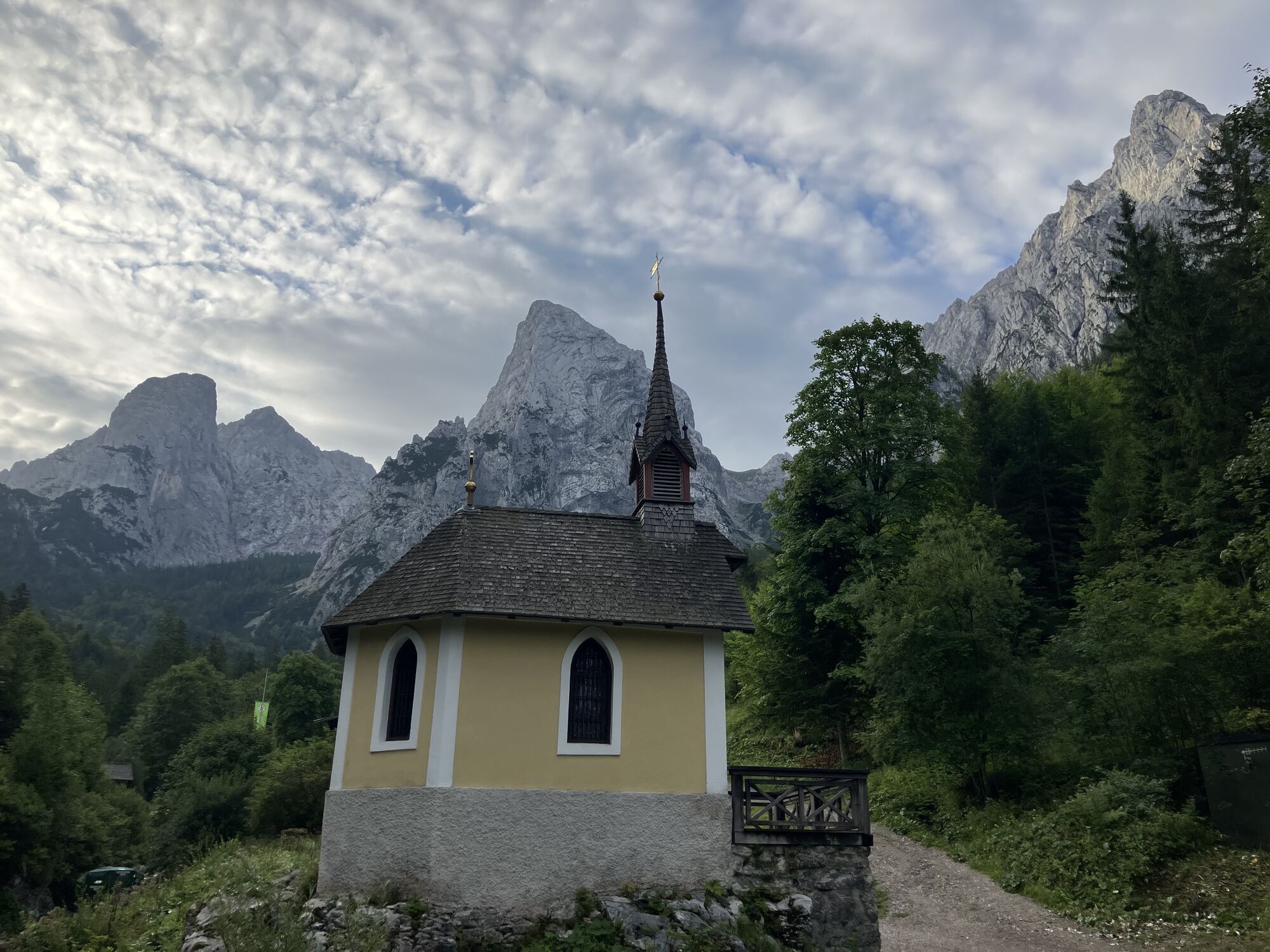
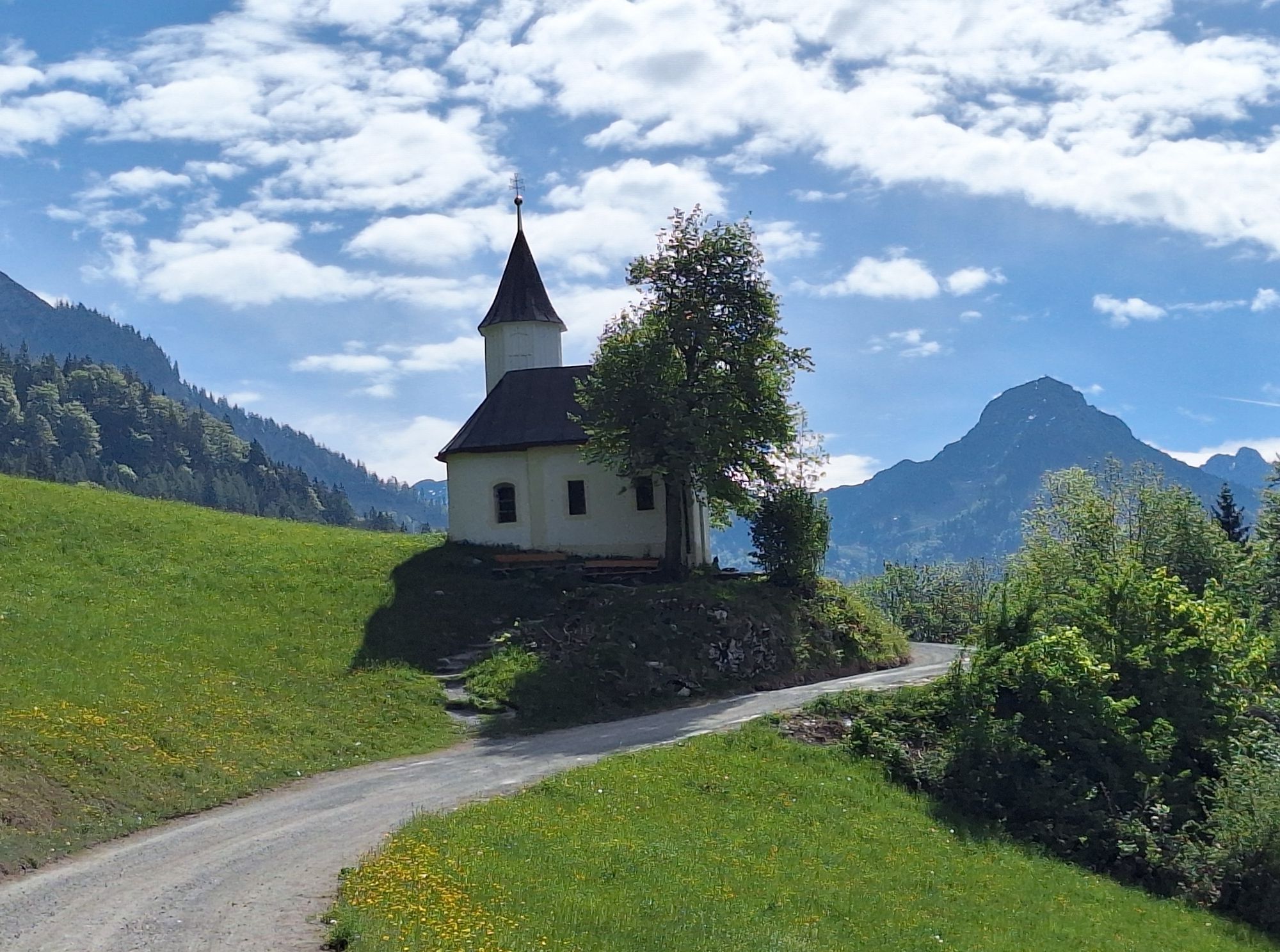
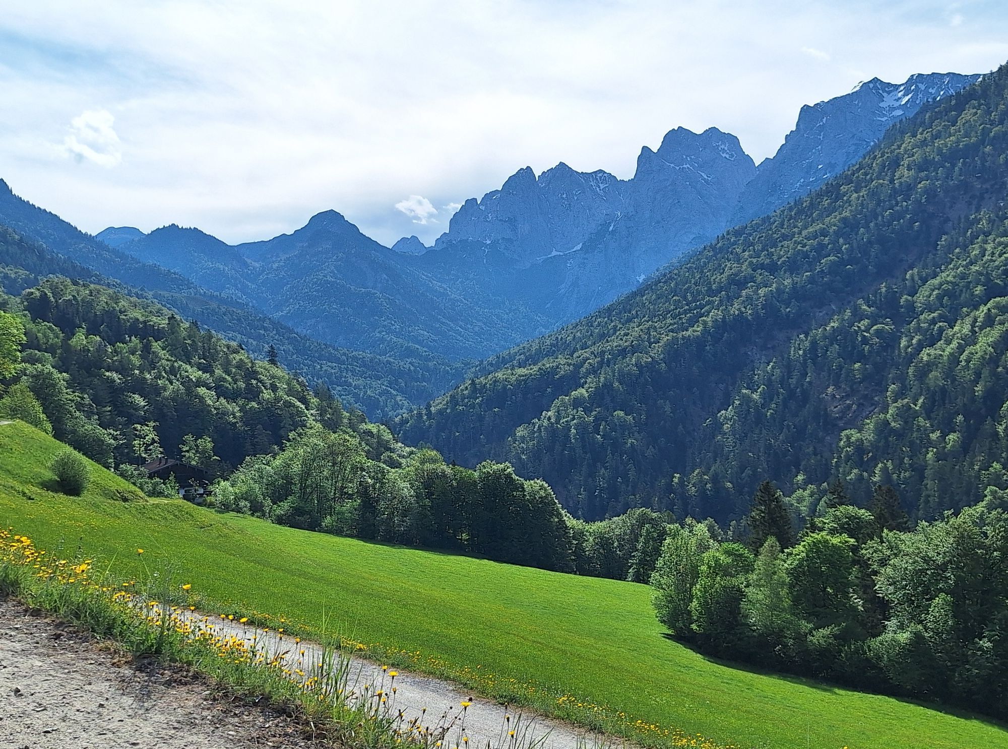
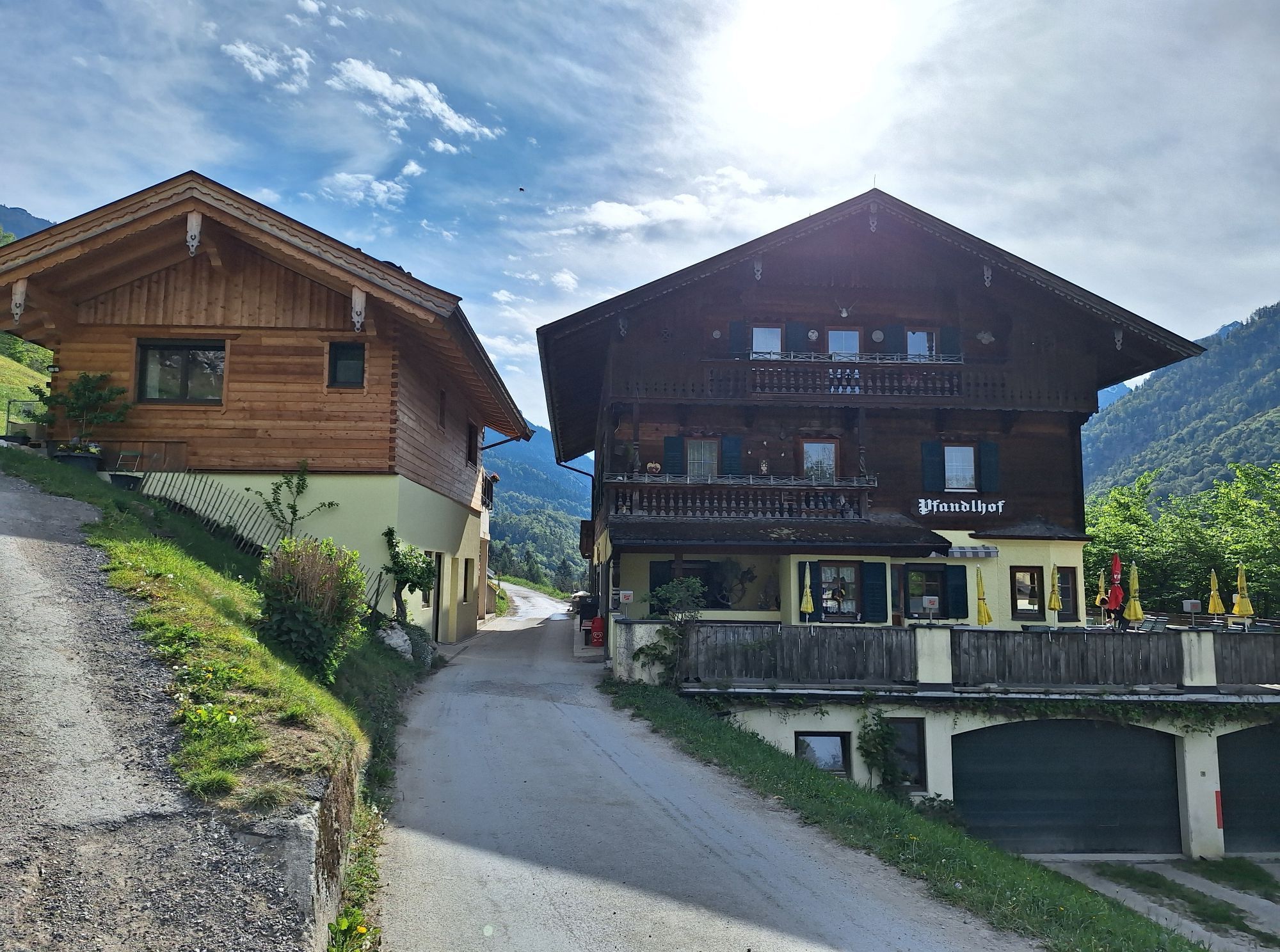
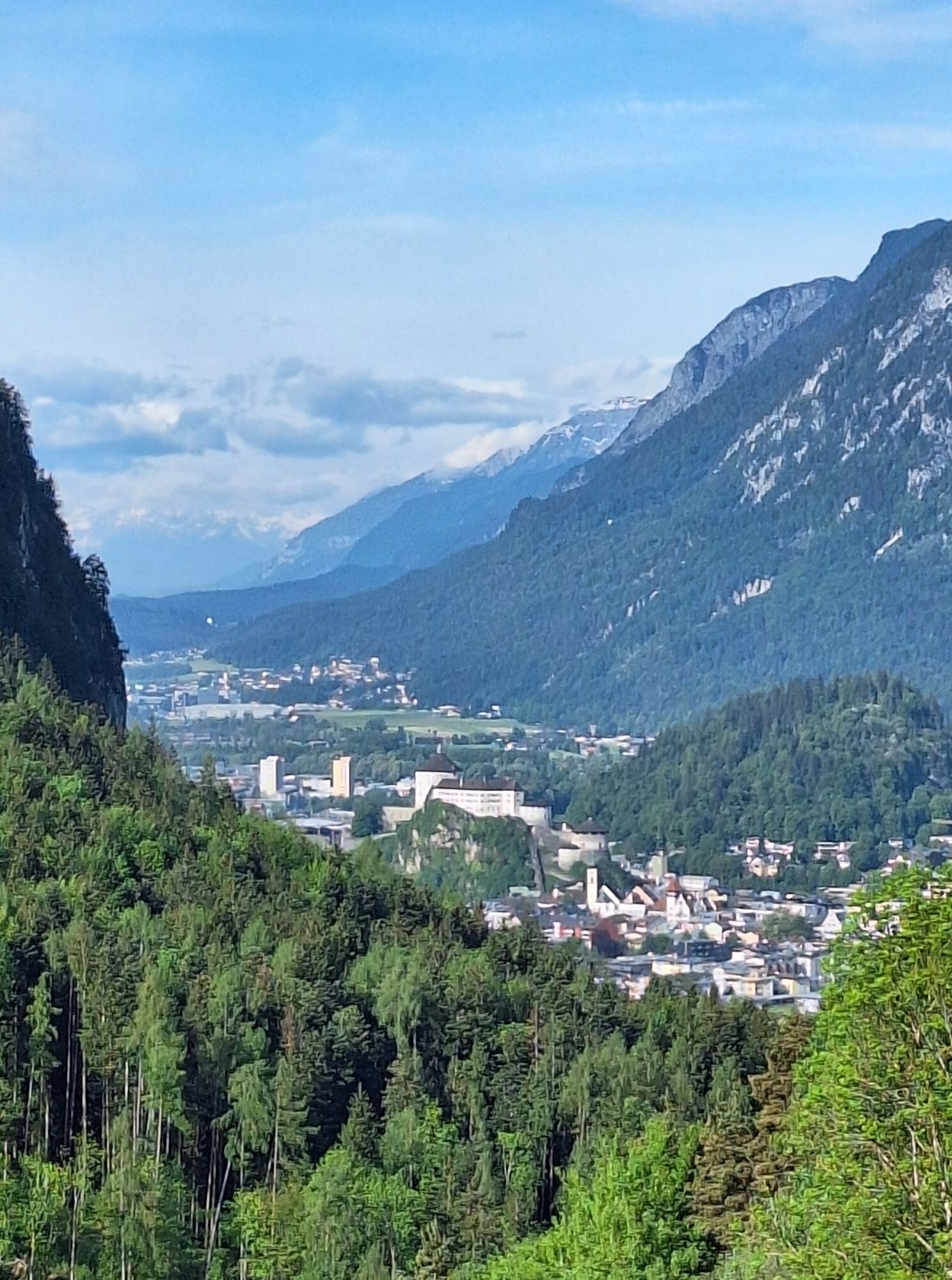
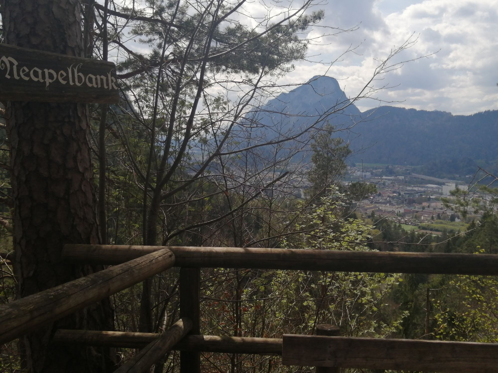
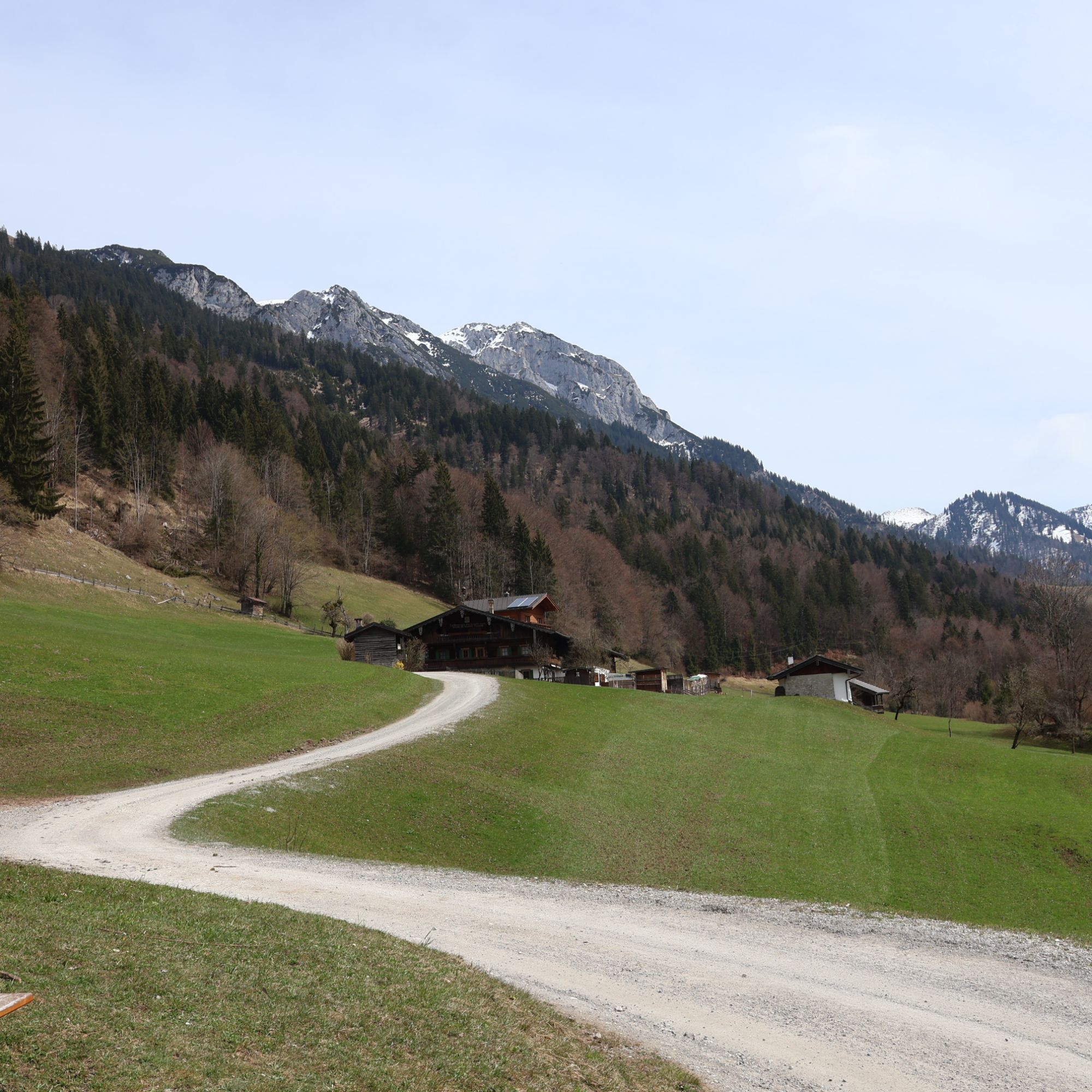
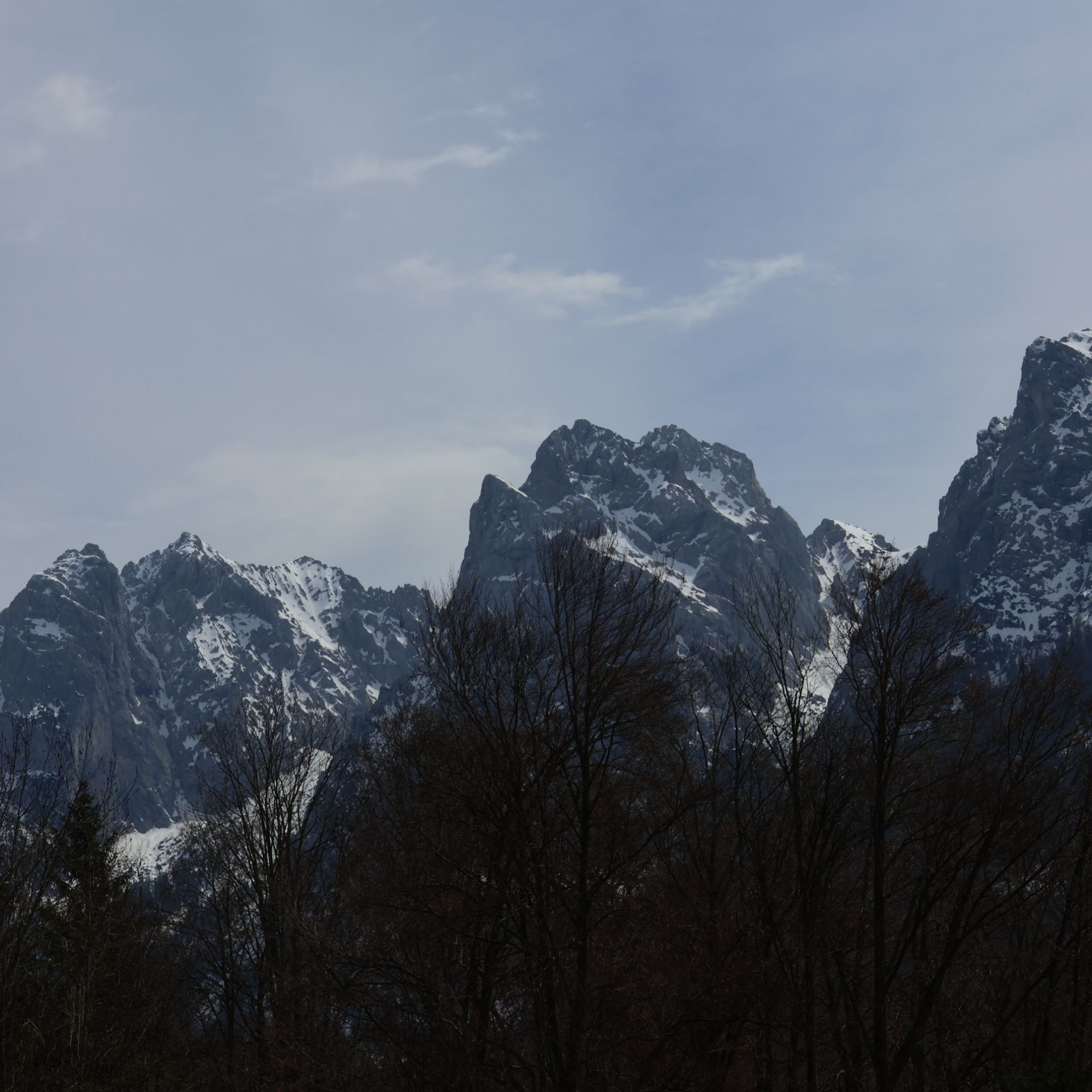
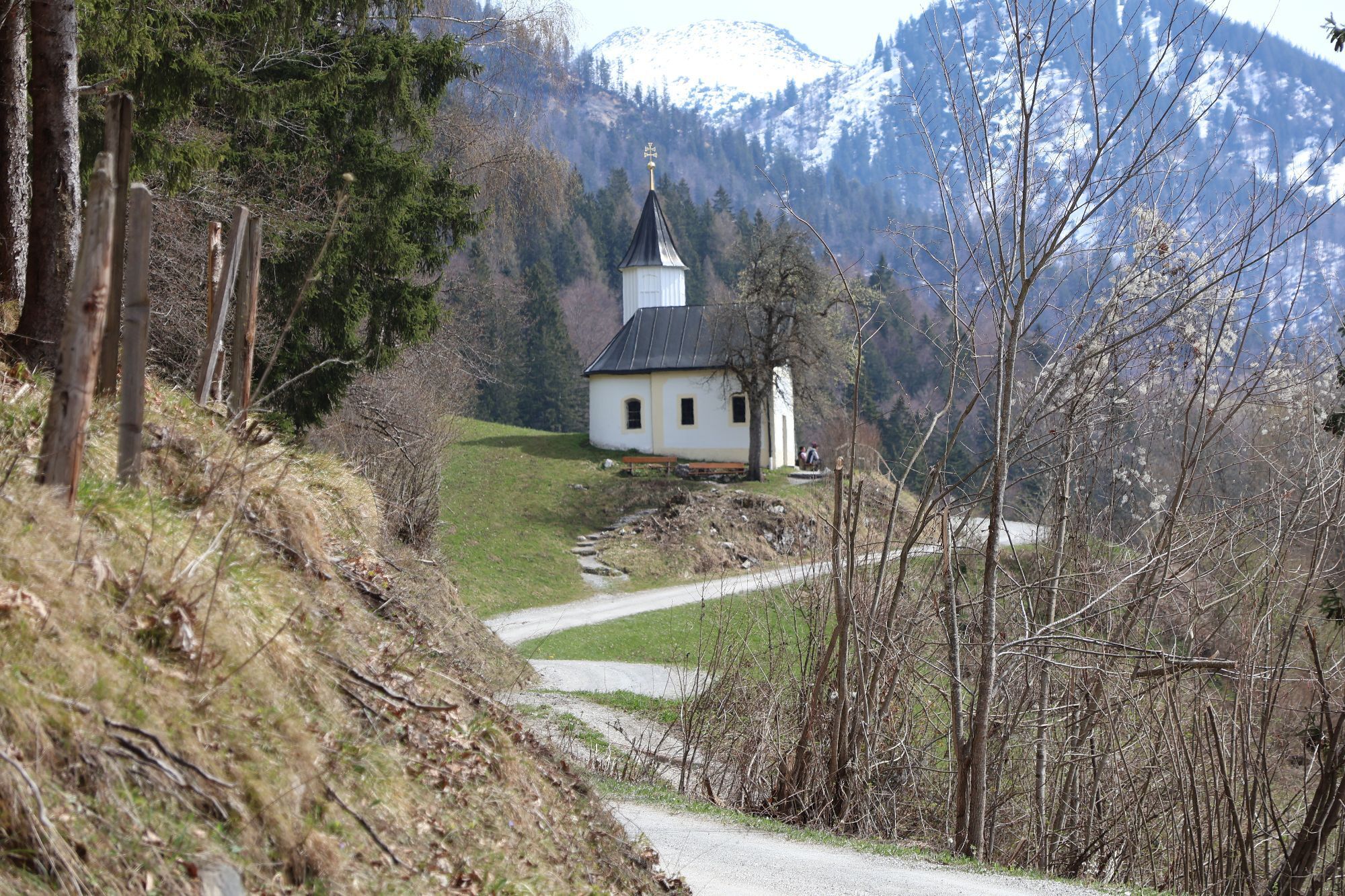

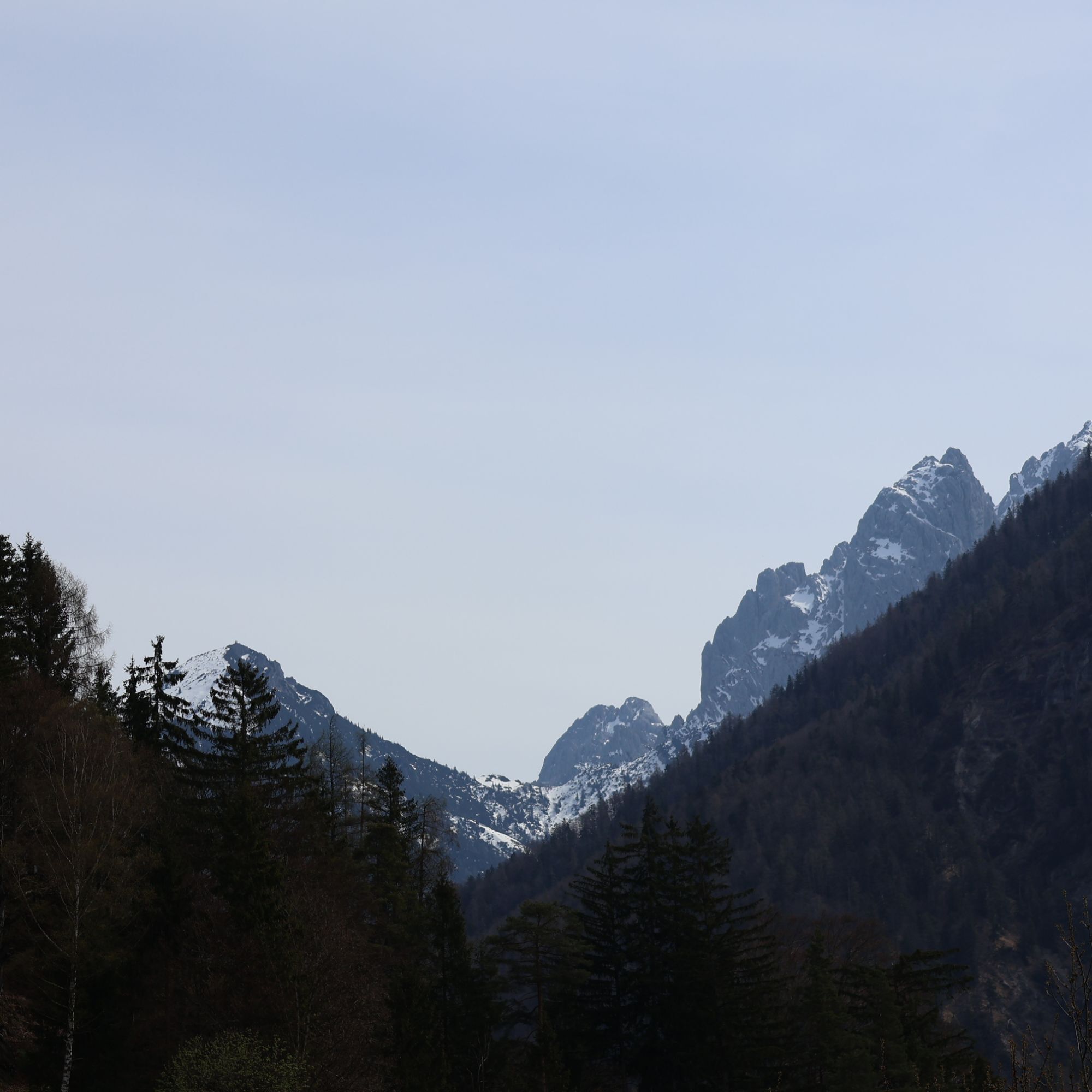
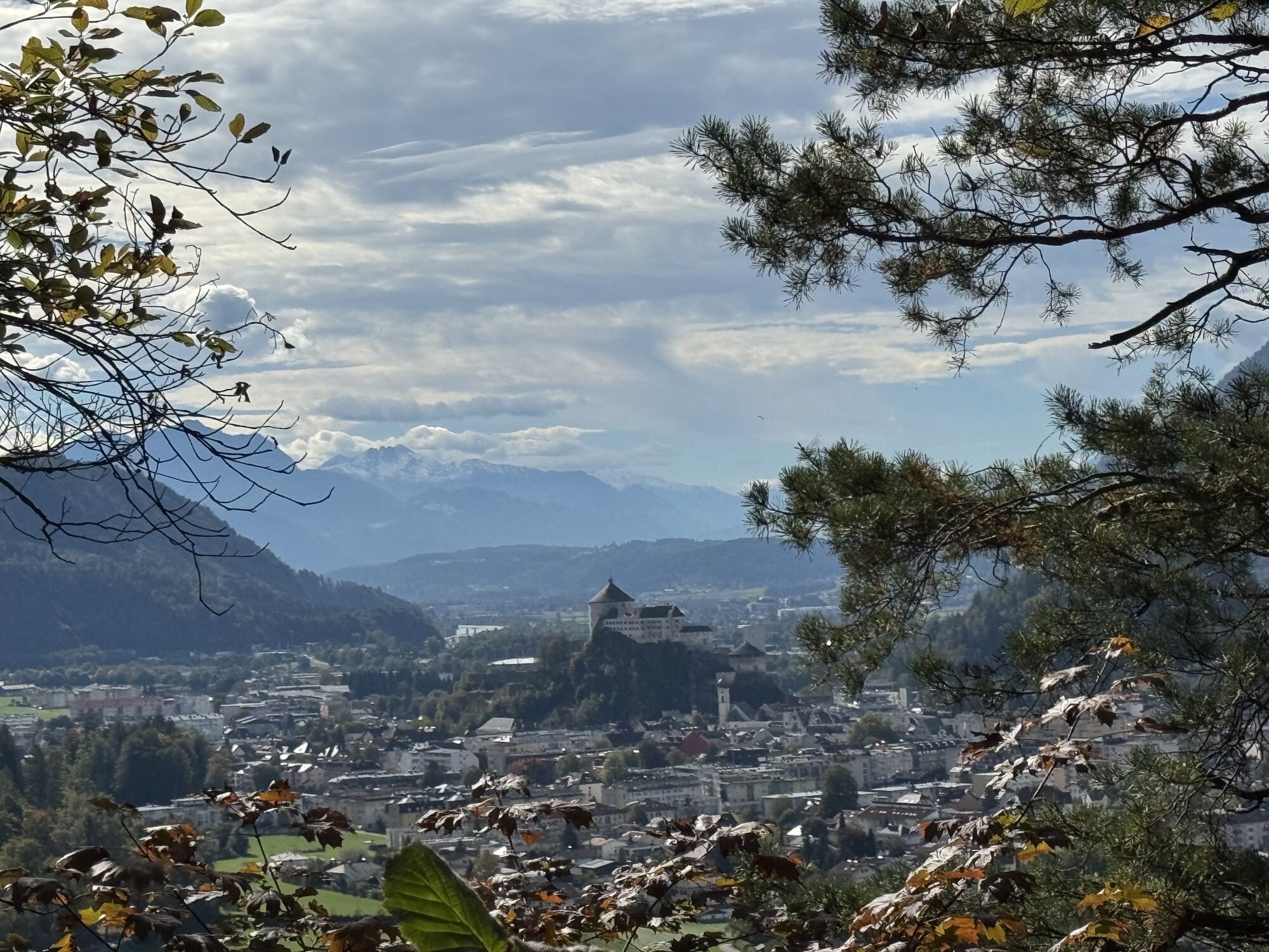
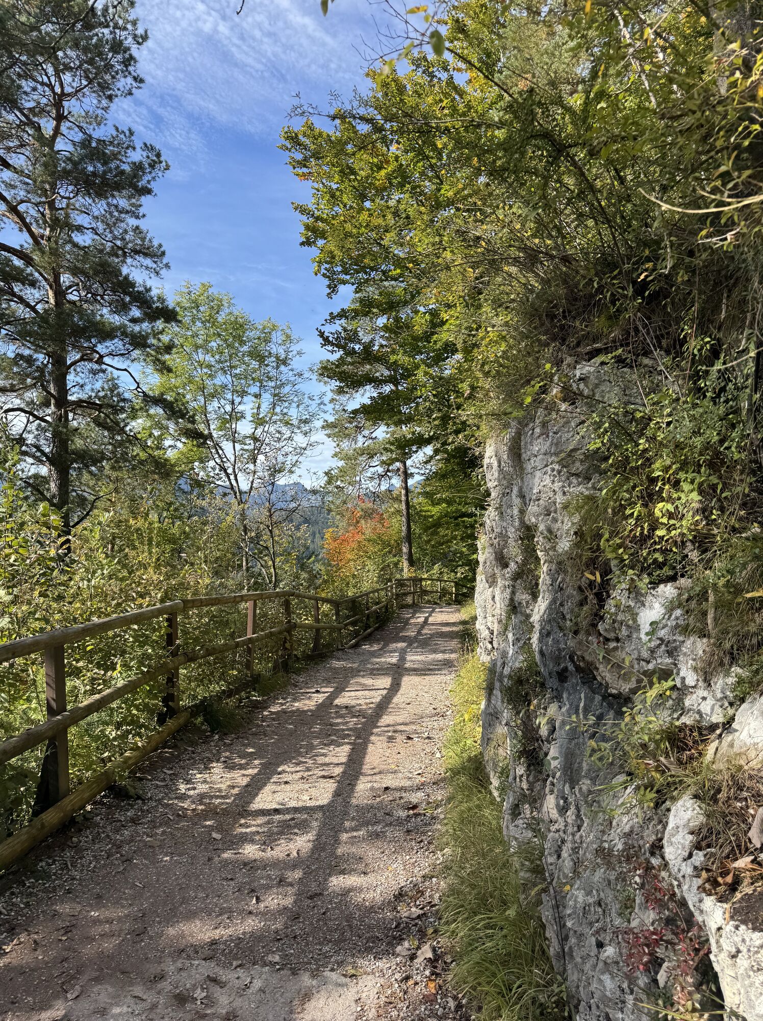
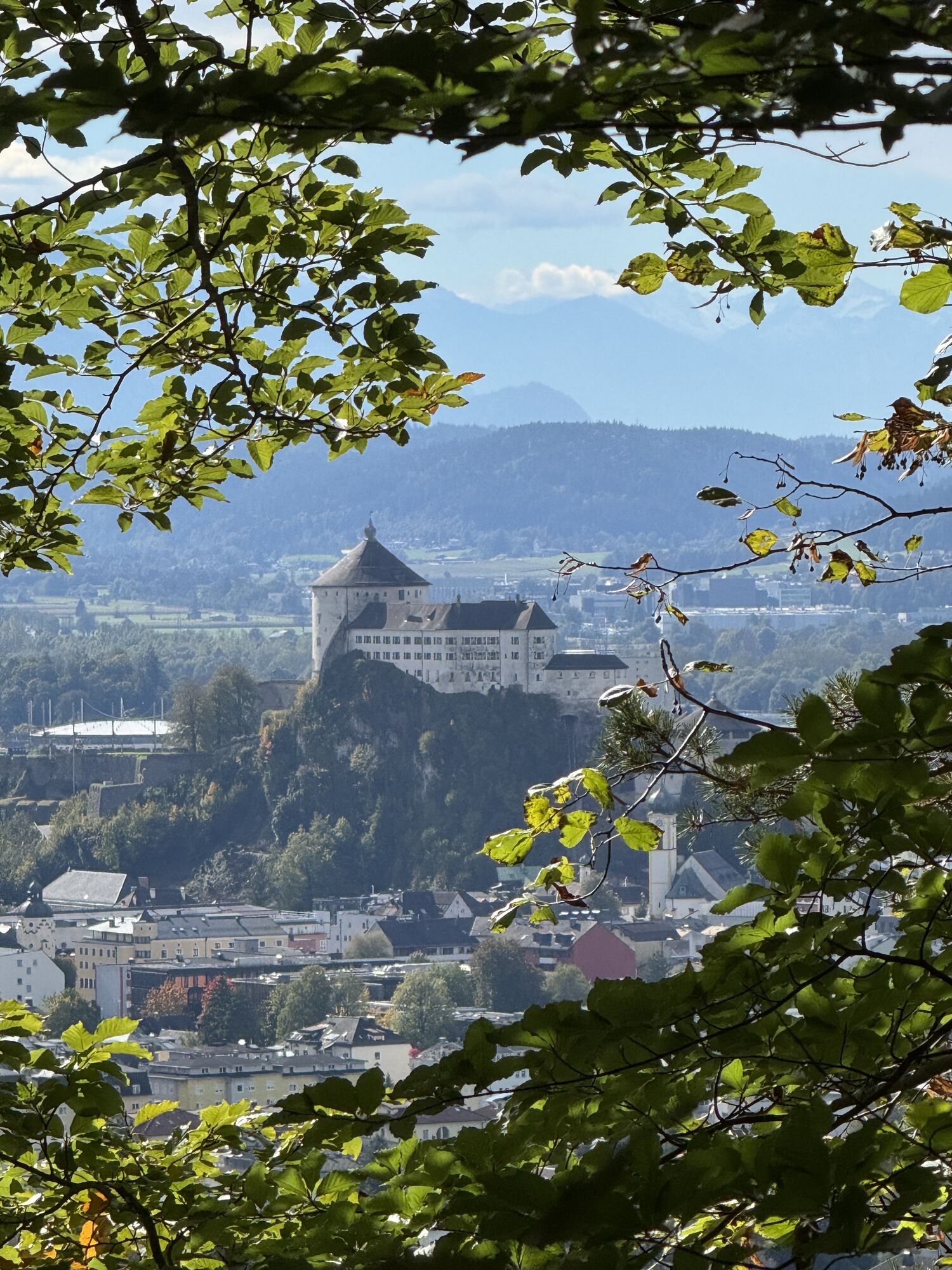
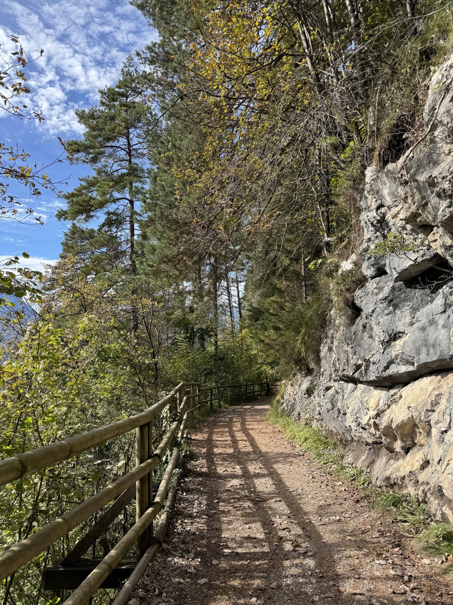
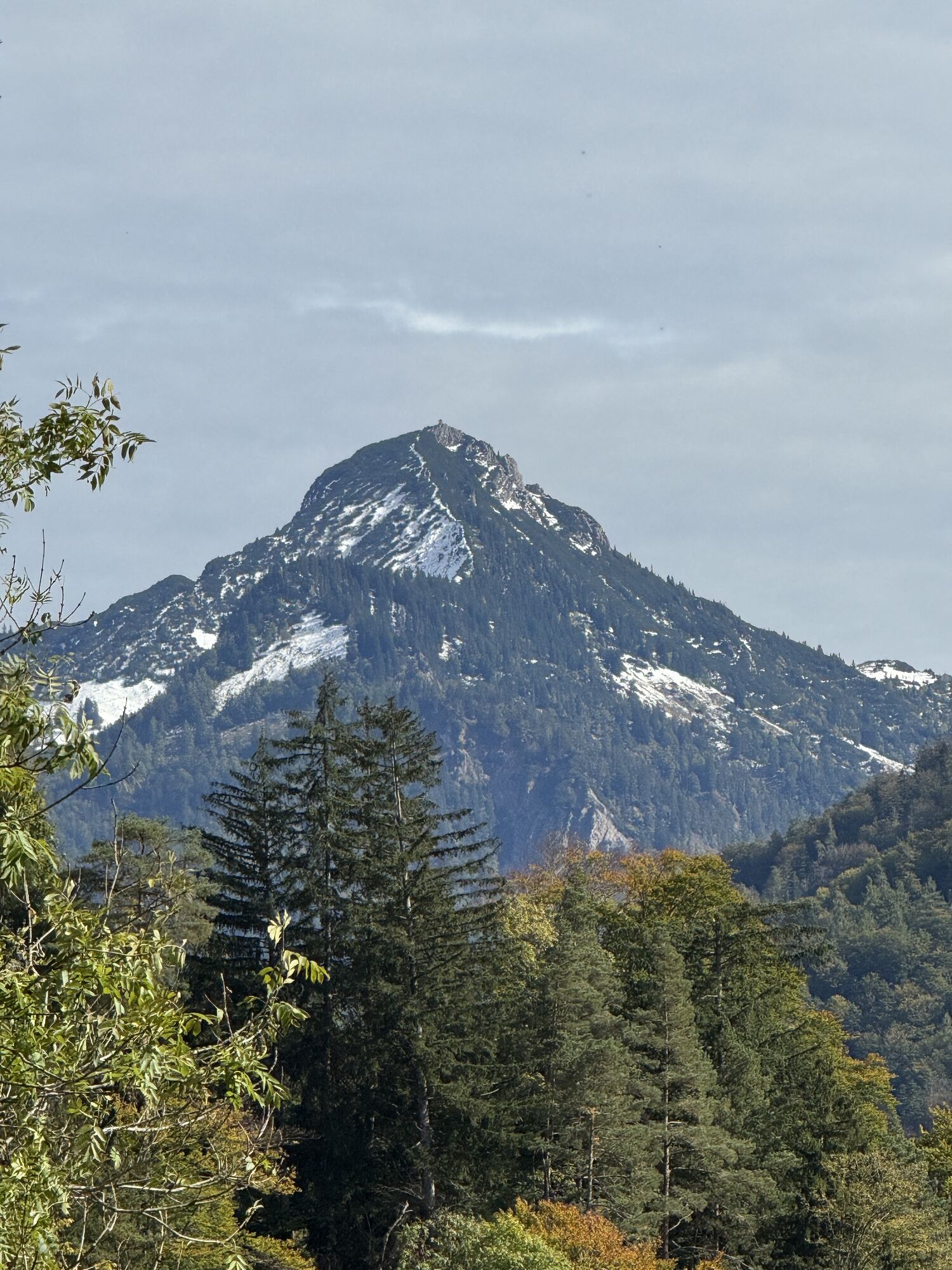
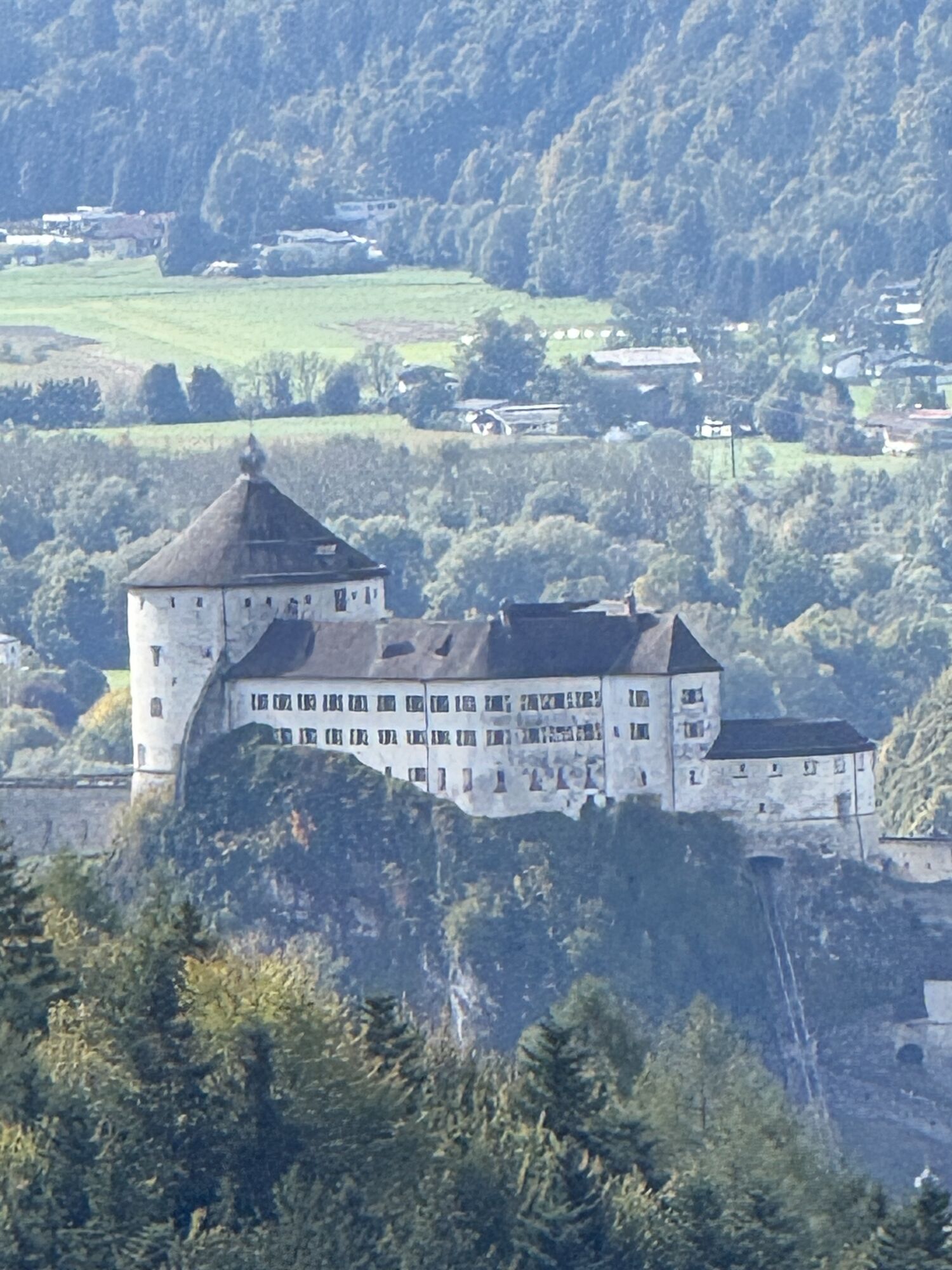
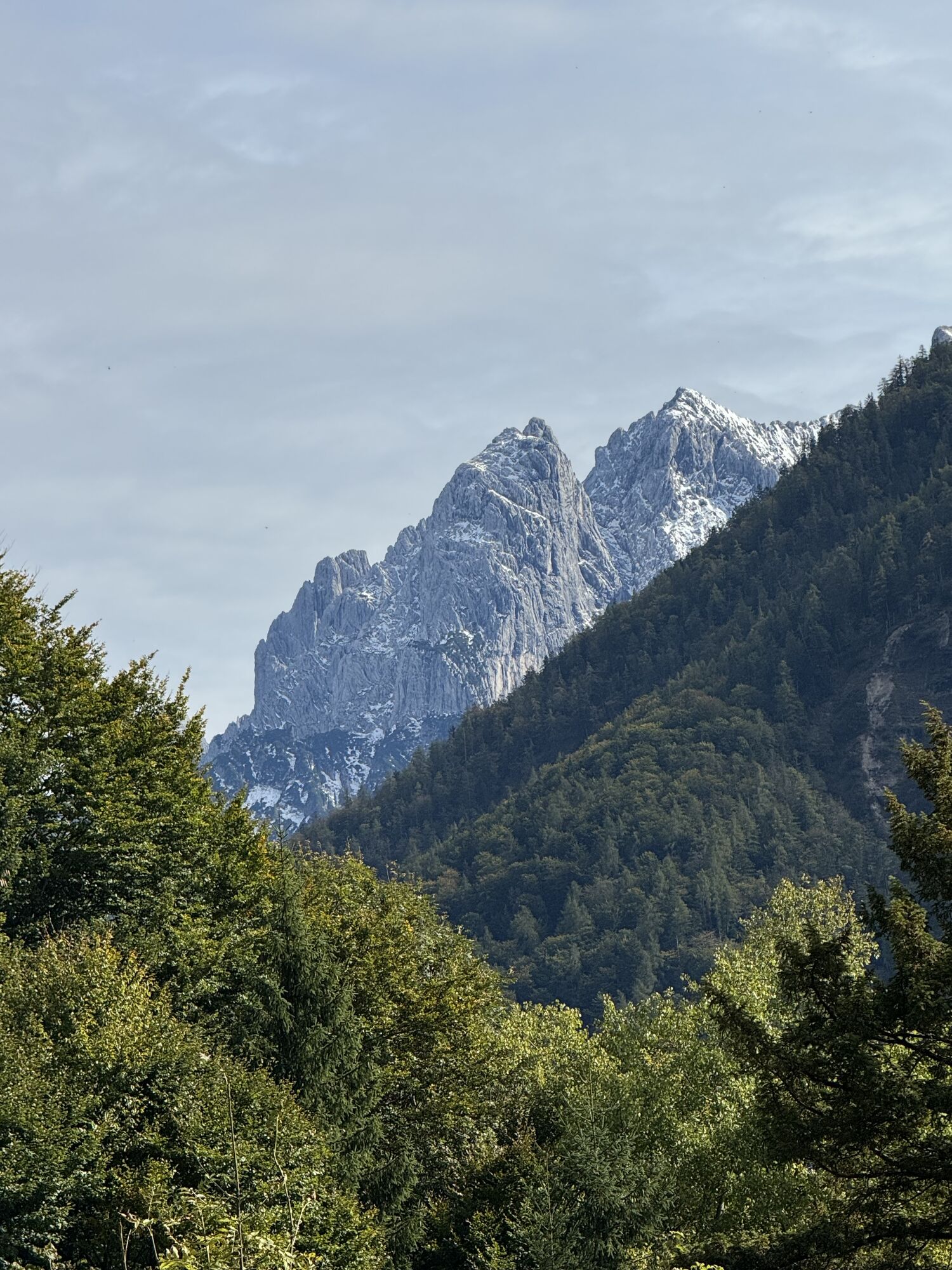
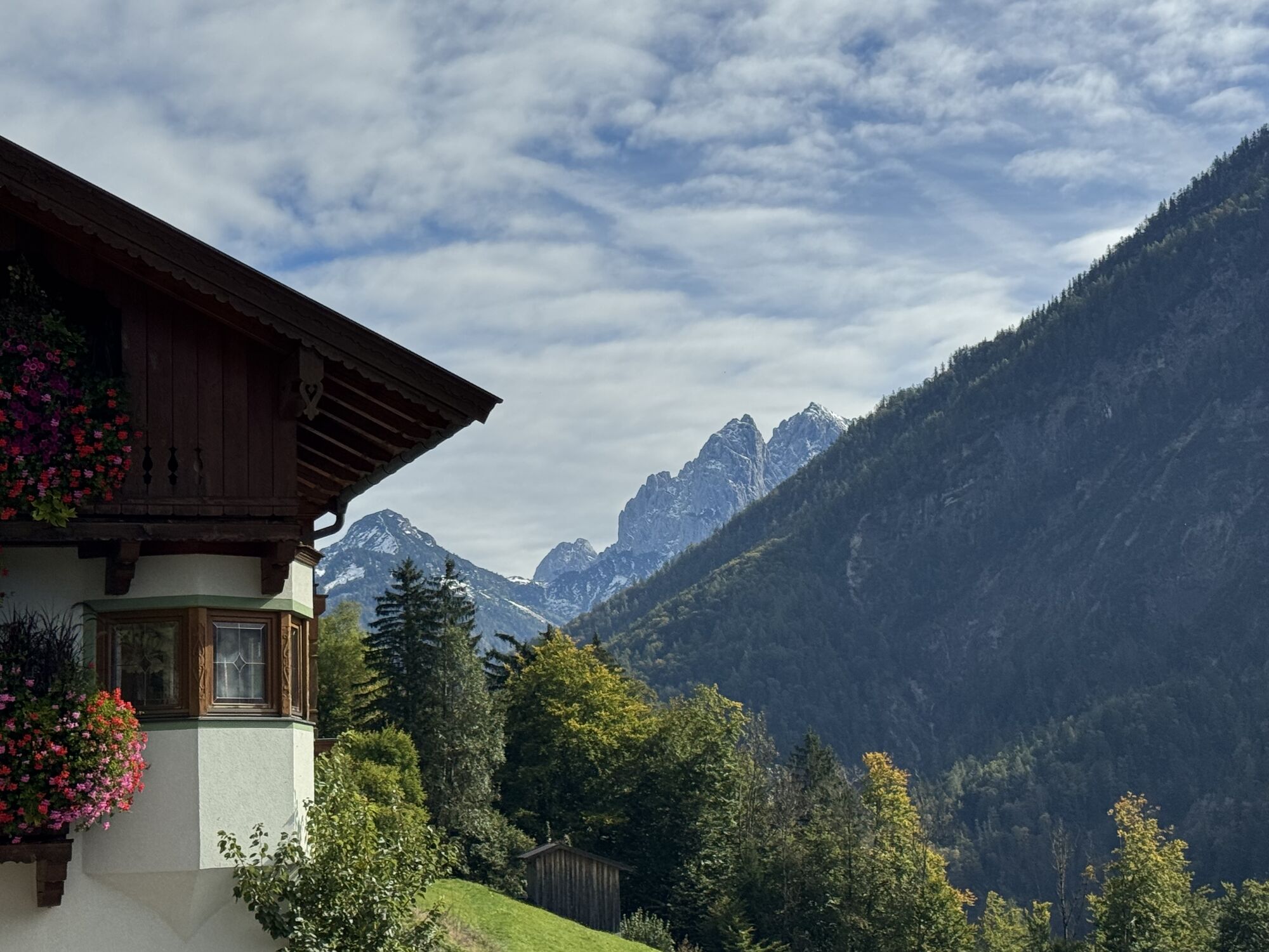
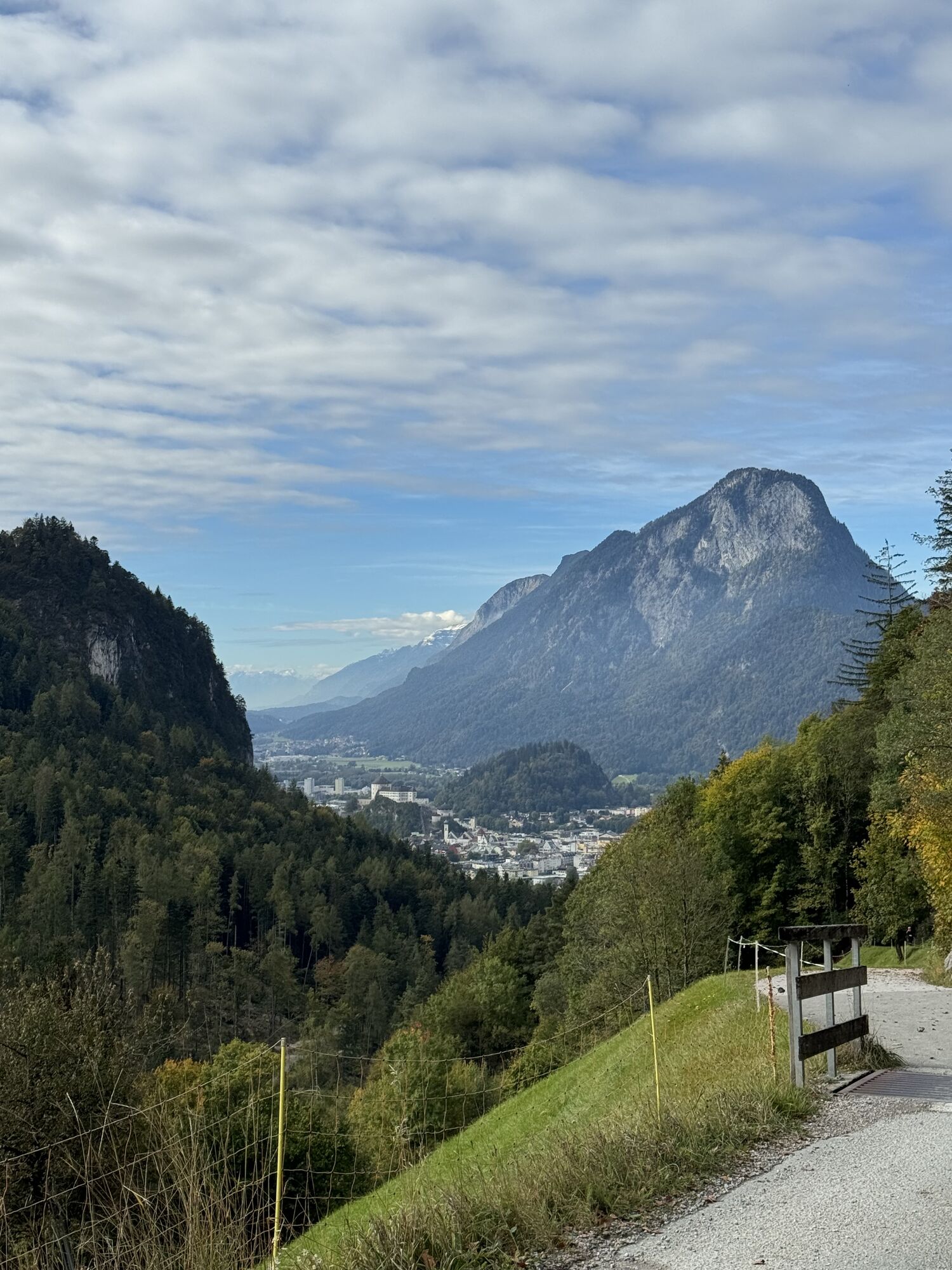
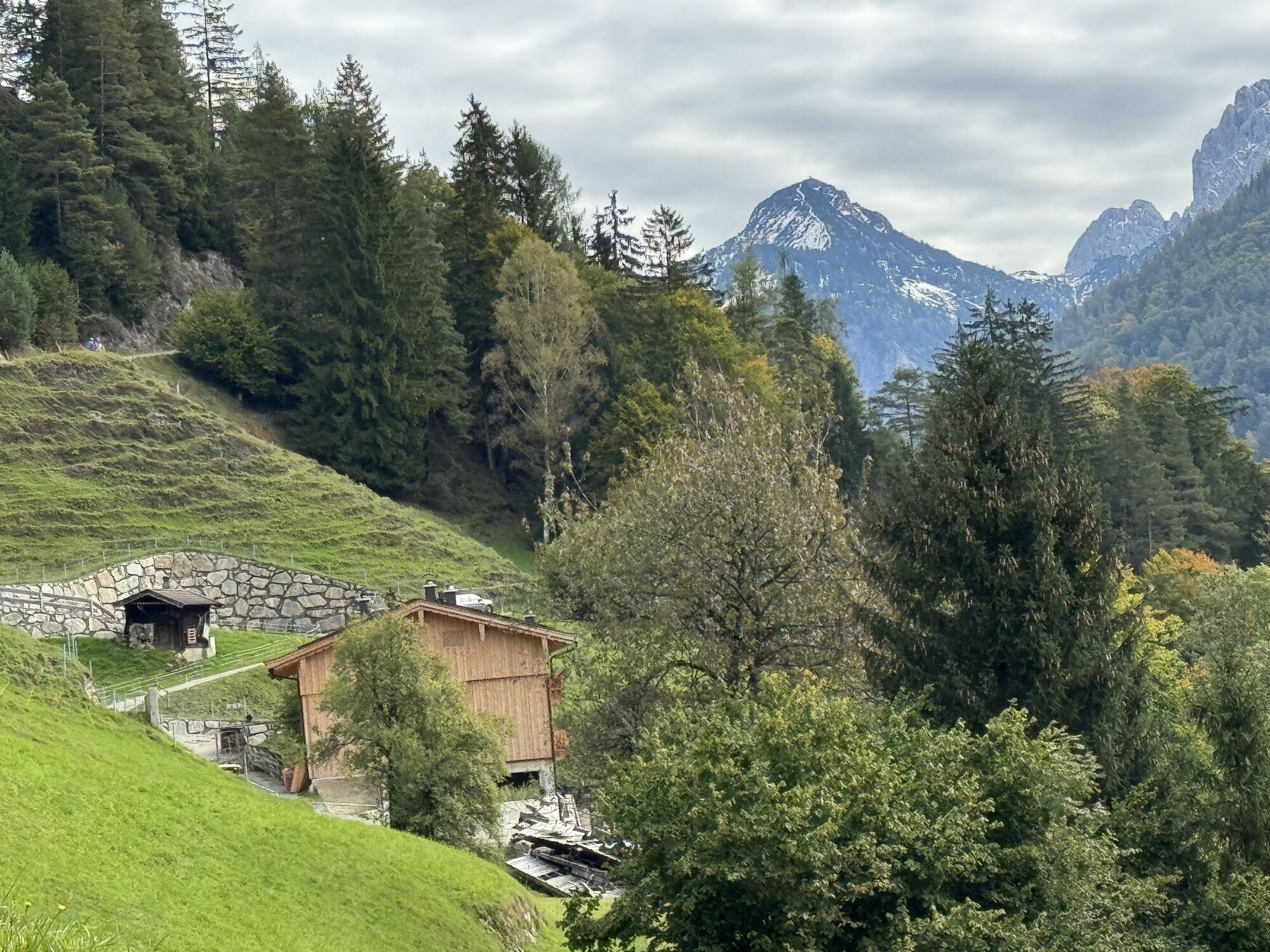
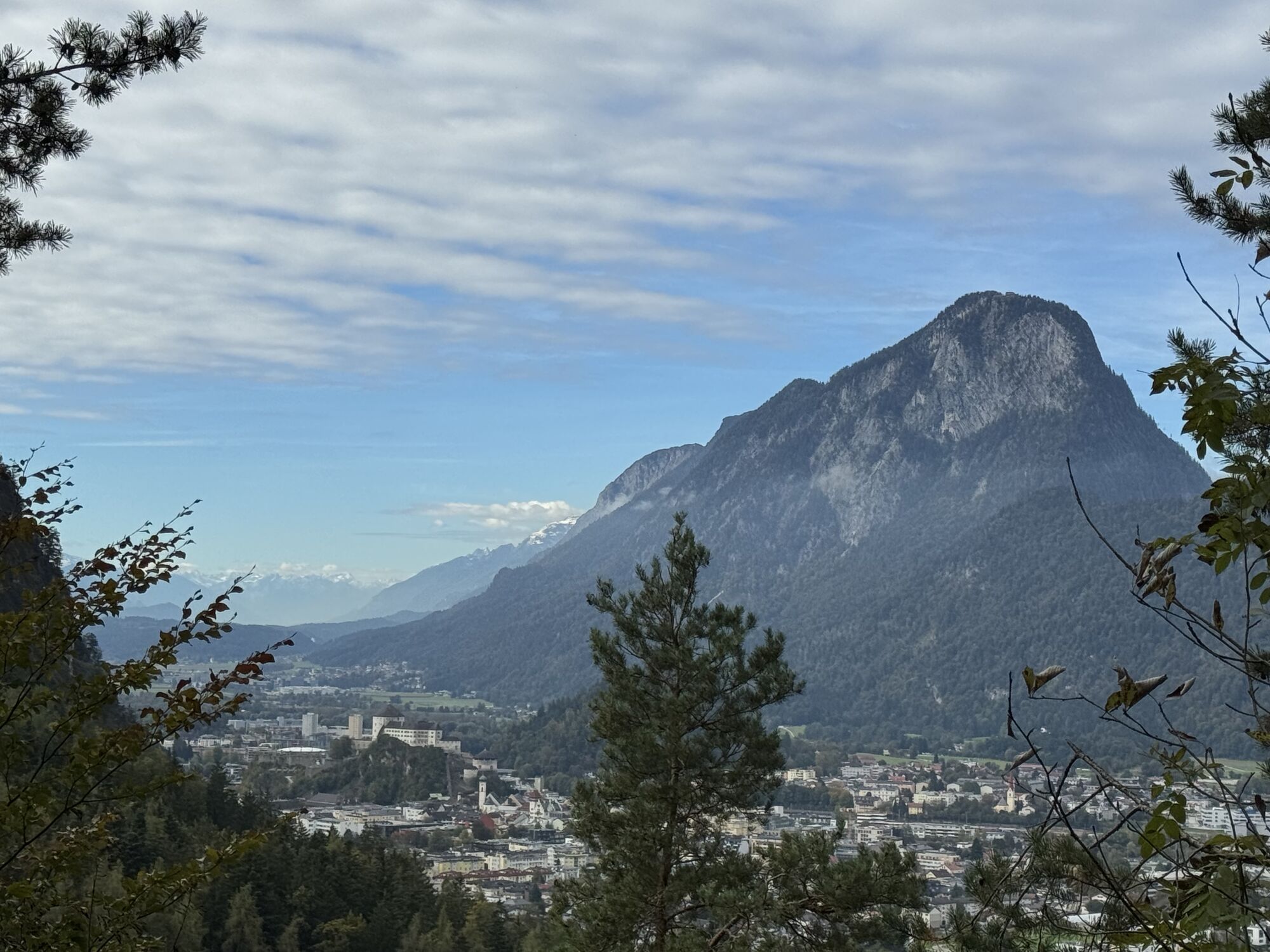
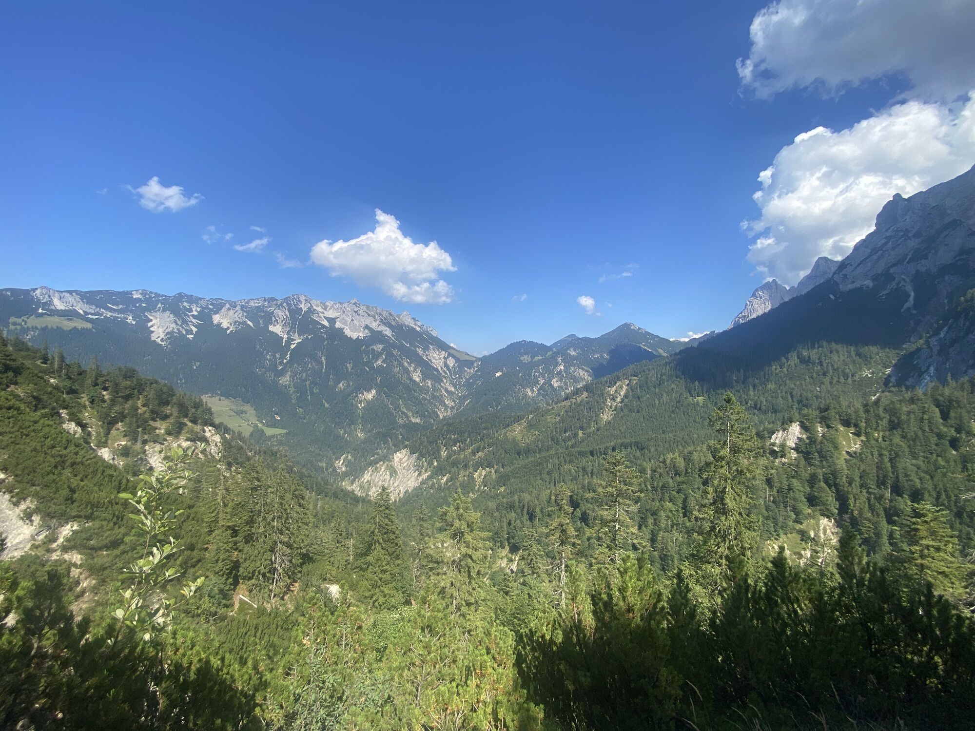
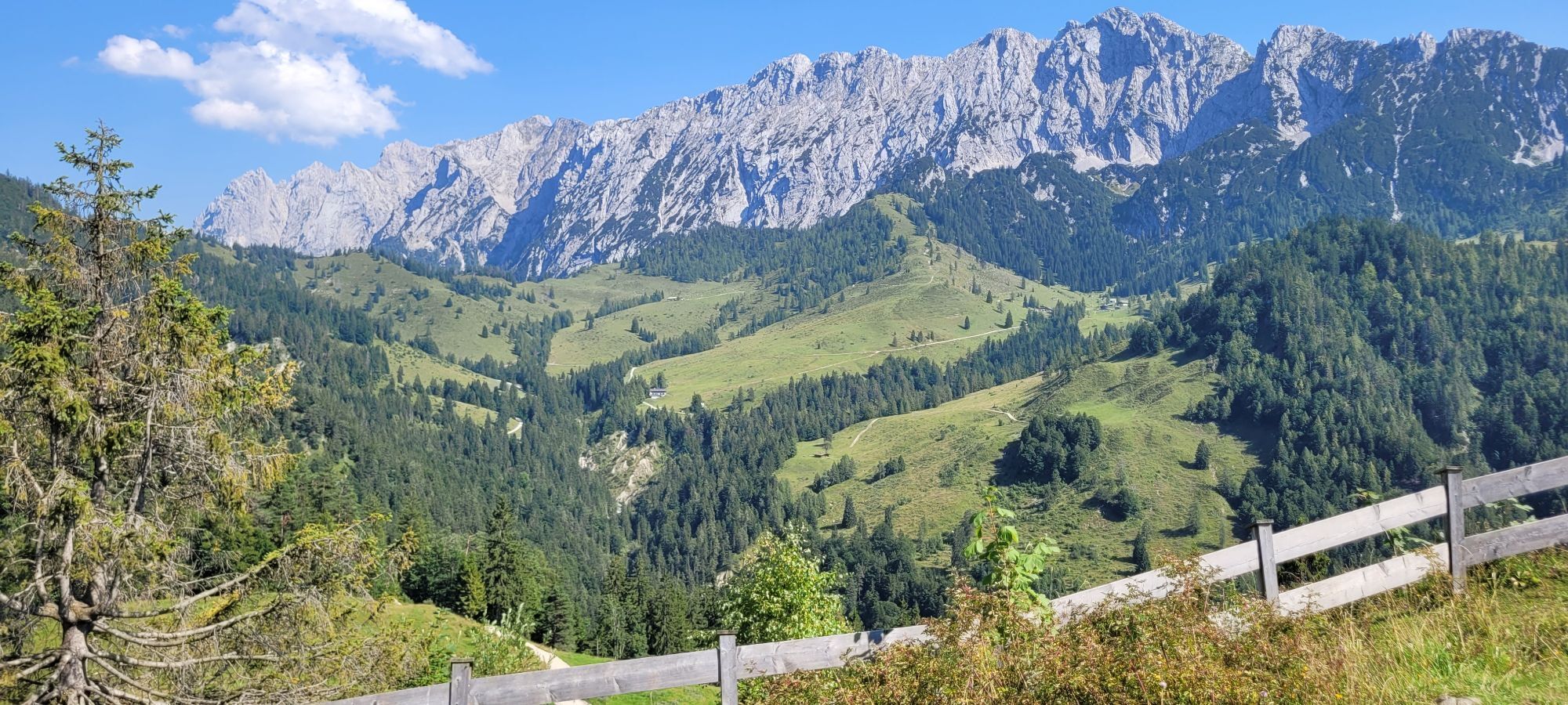
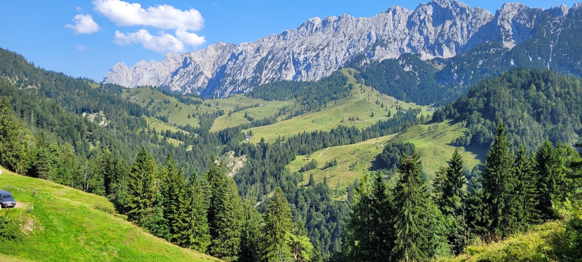
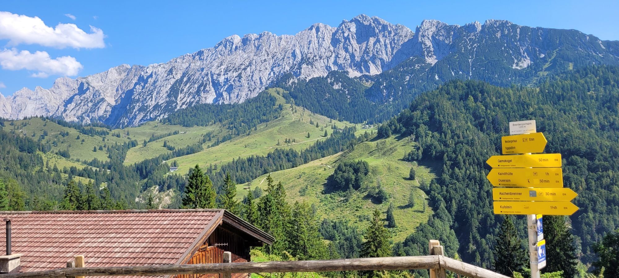
A difficult hike that rewards you with a summit in the middle of the rugged cliffs of the Wilder Kaiser. Mountain experience, sure-footedness and good physical condition are absolute prerequisites for...
A difficult hike that rewards you with a summit in the middle of the rugged cliffs of the Wilder Kaiser. Mountain experience, sure-footedness and good physical condition are absolute prerequisites for this trail!
Day one:
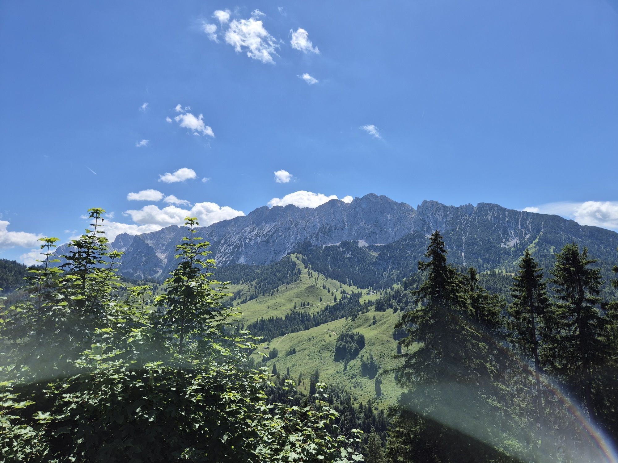
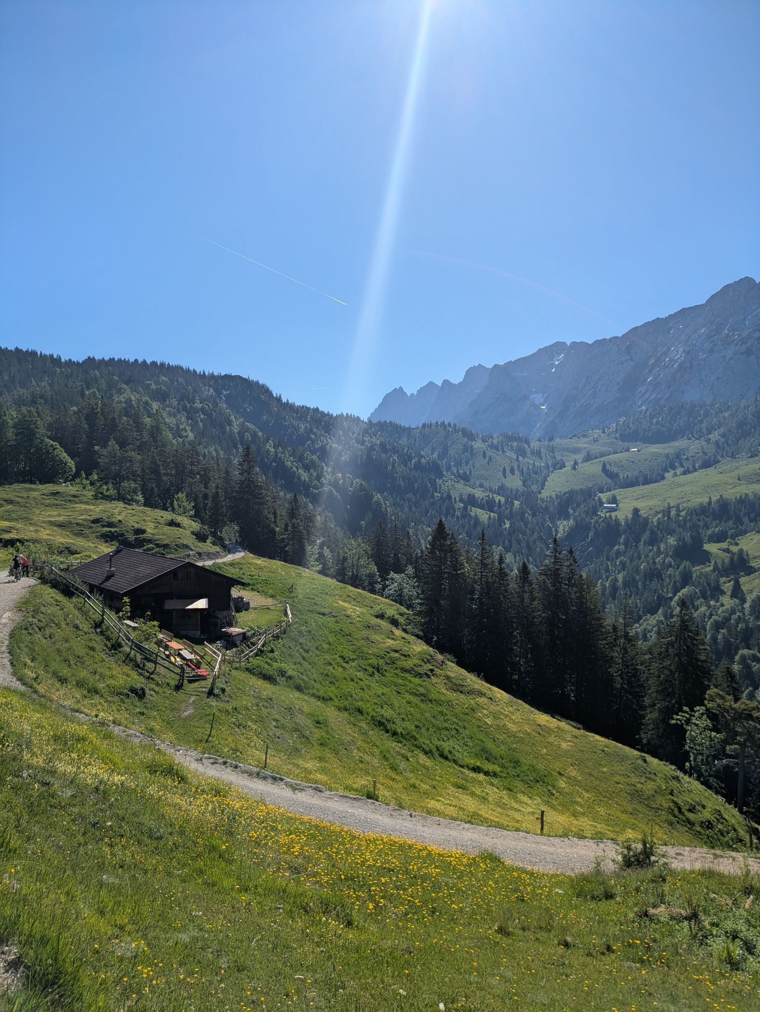
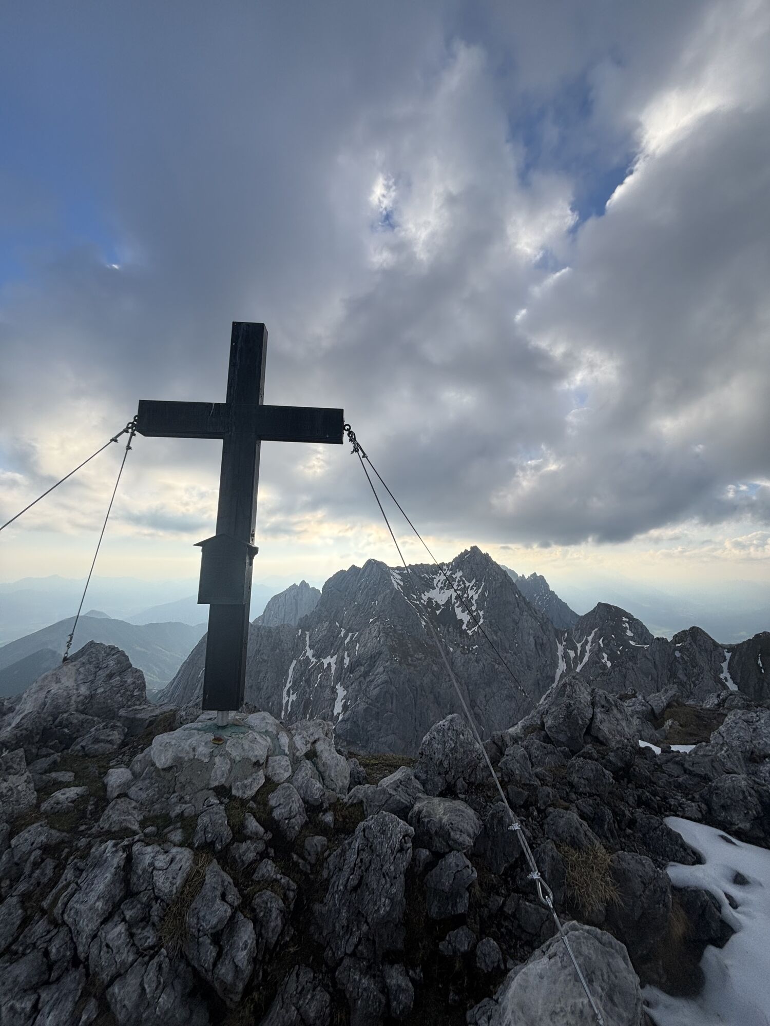
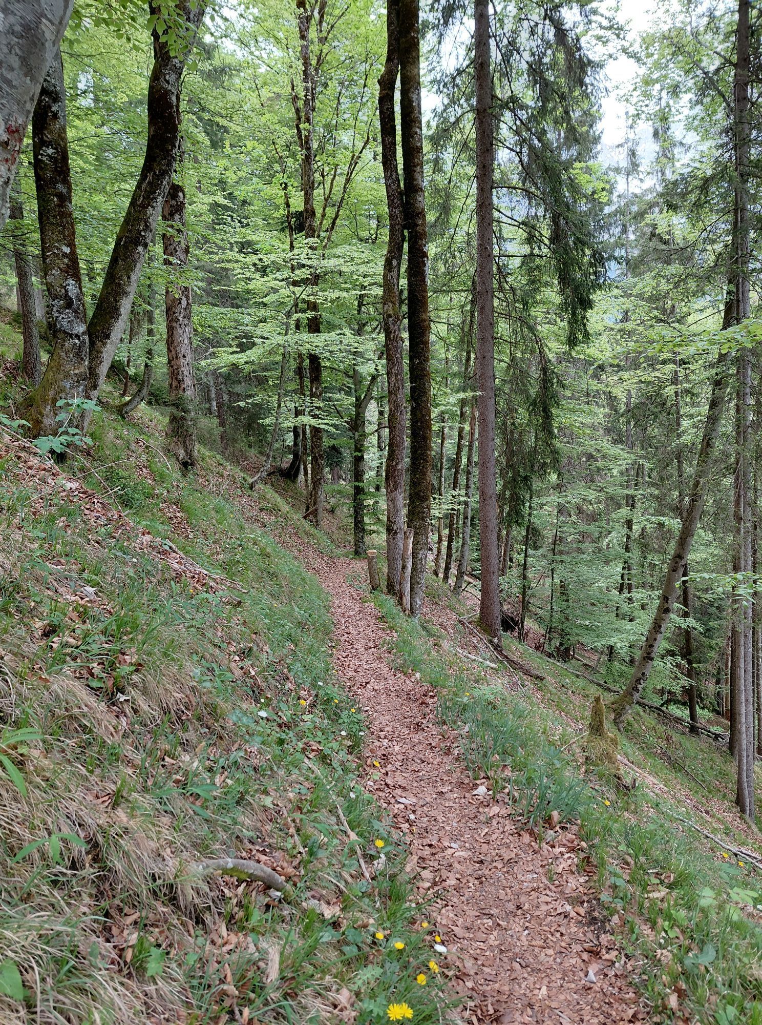
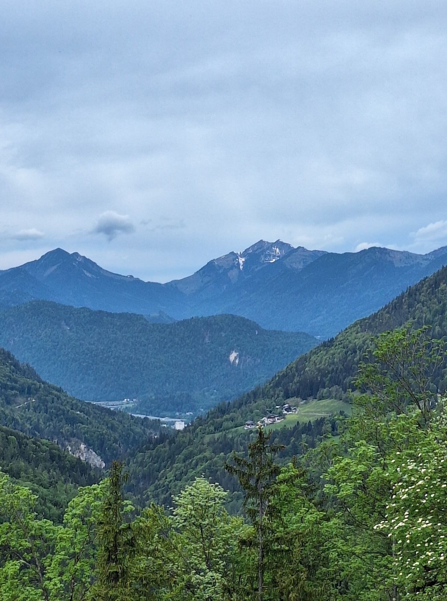
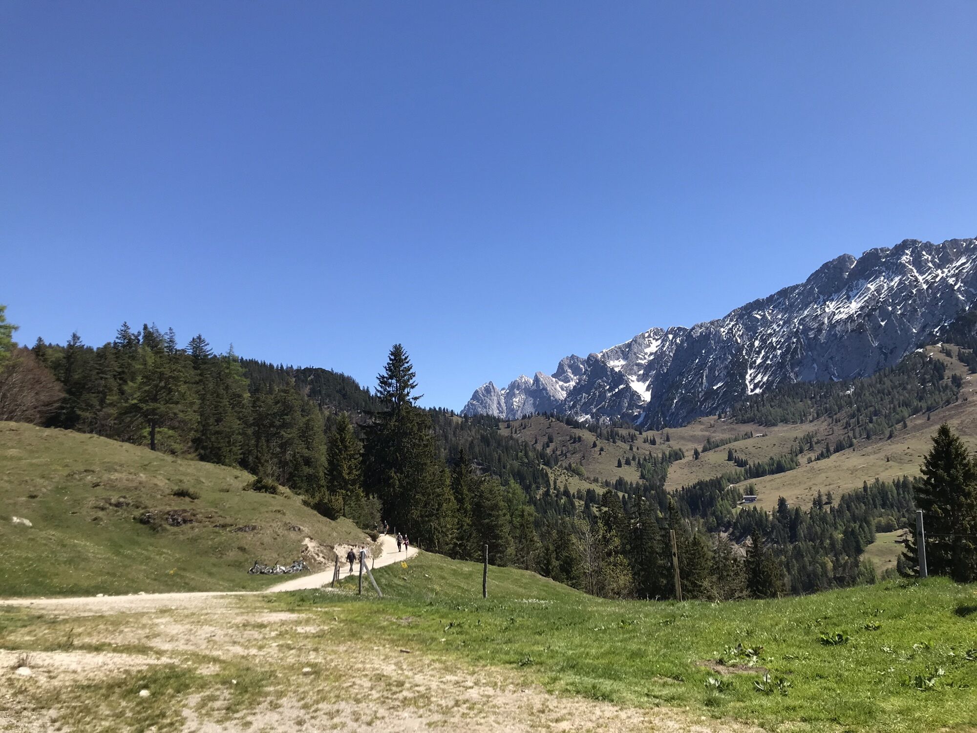
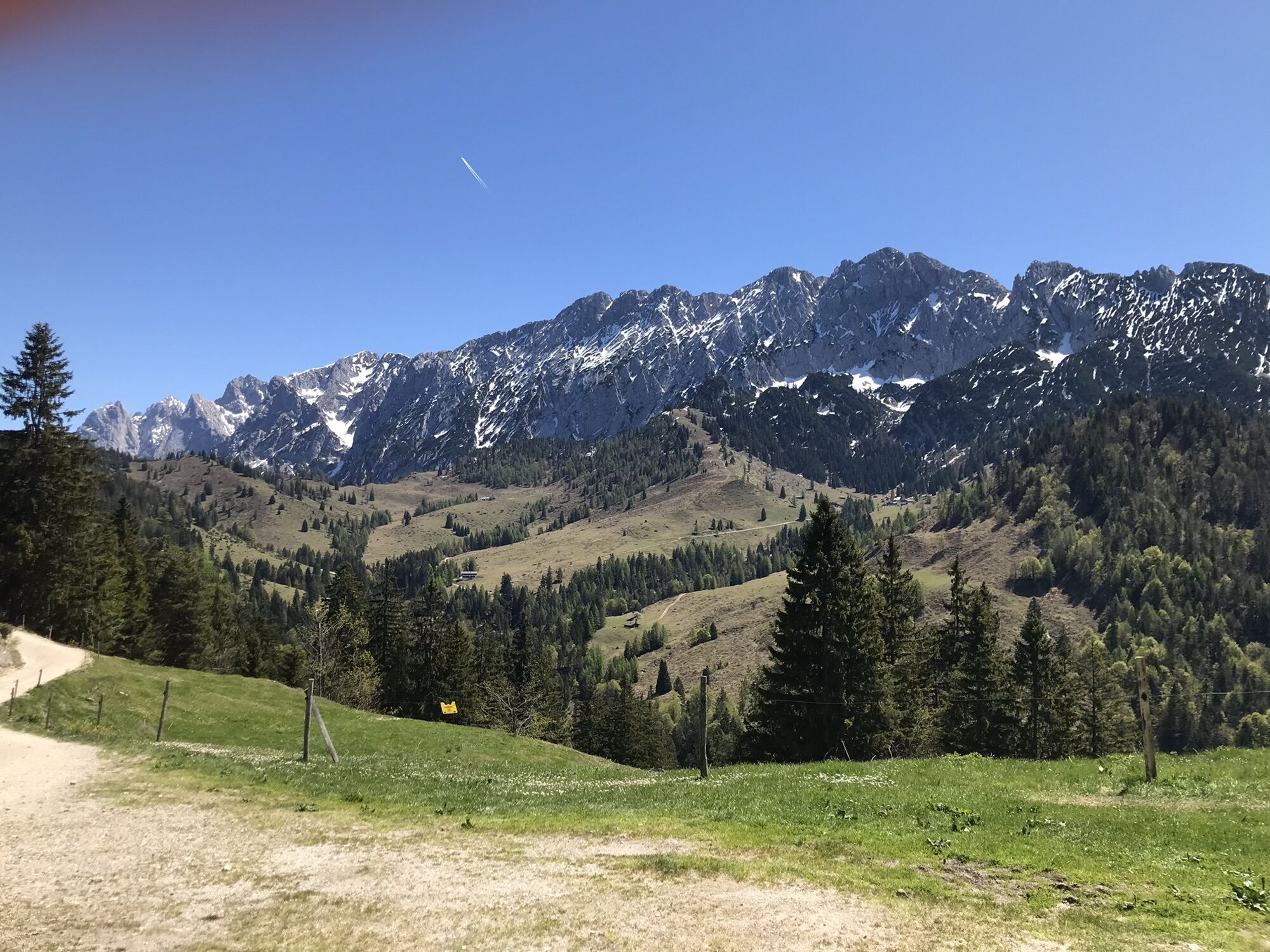
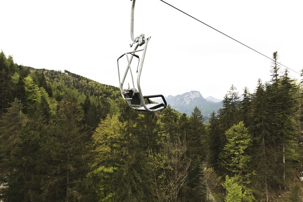
The hike starts at the top station of the Kaiserlift, as it is advisable to take the lift up in the morning. Over the Steinbergalmen you can still enjoy the wonderful view of the Koasa until after a short stretch you descend towards Bettlersteig and turn right towards Güttlersteig. This is where the part begins that requires a good surefootedness. The effort is worth it, on the Sonneck you can expect the best views over the peaks of the emperor and into the Inn valley.
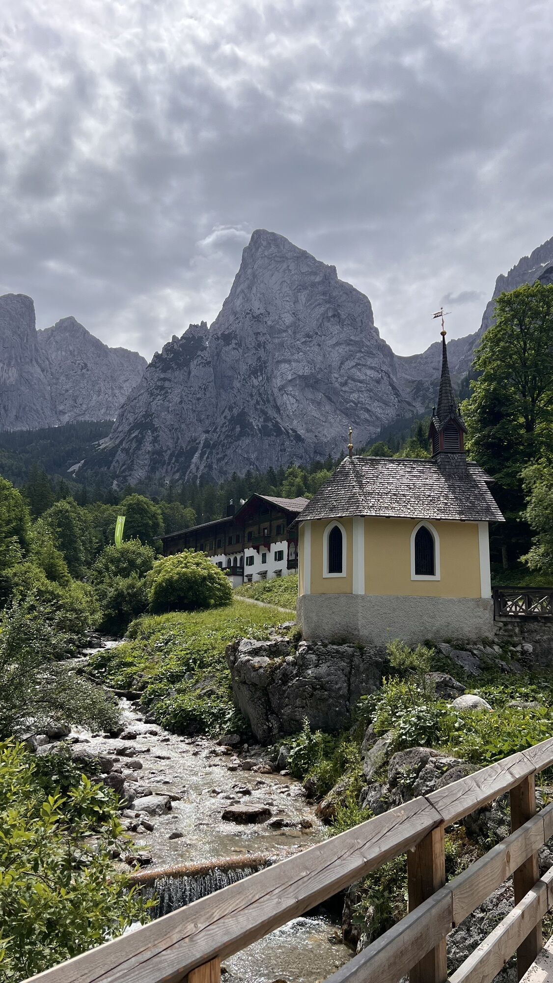
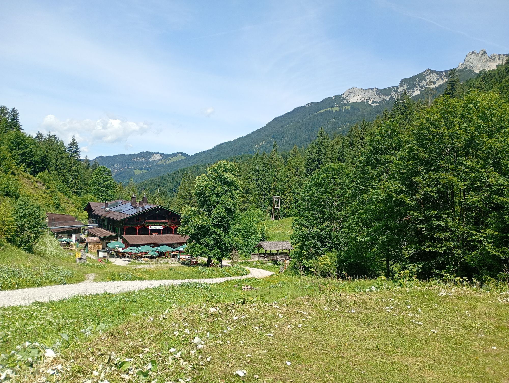
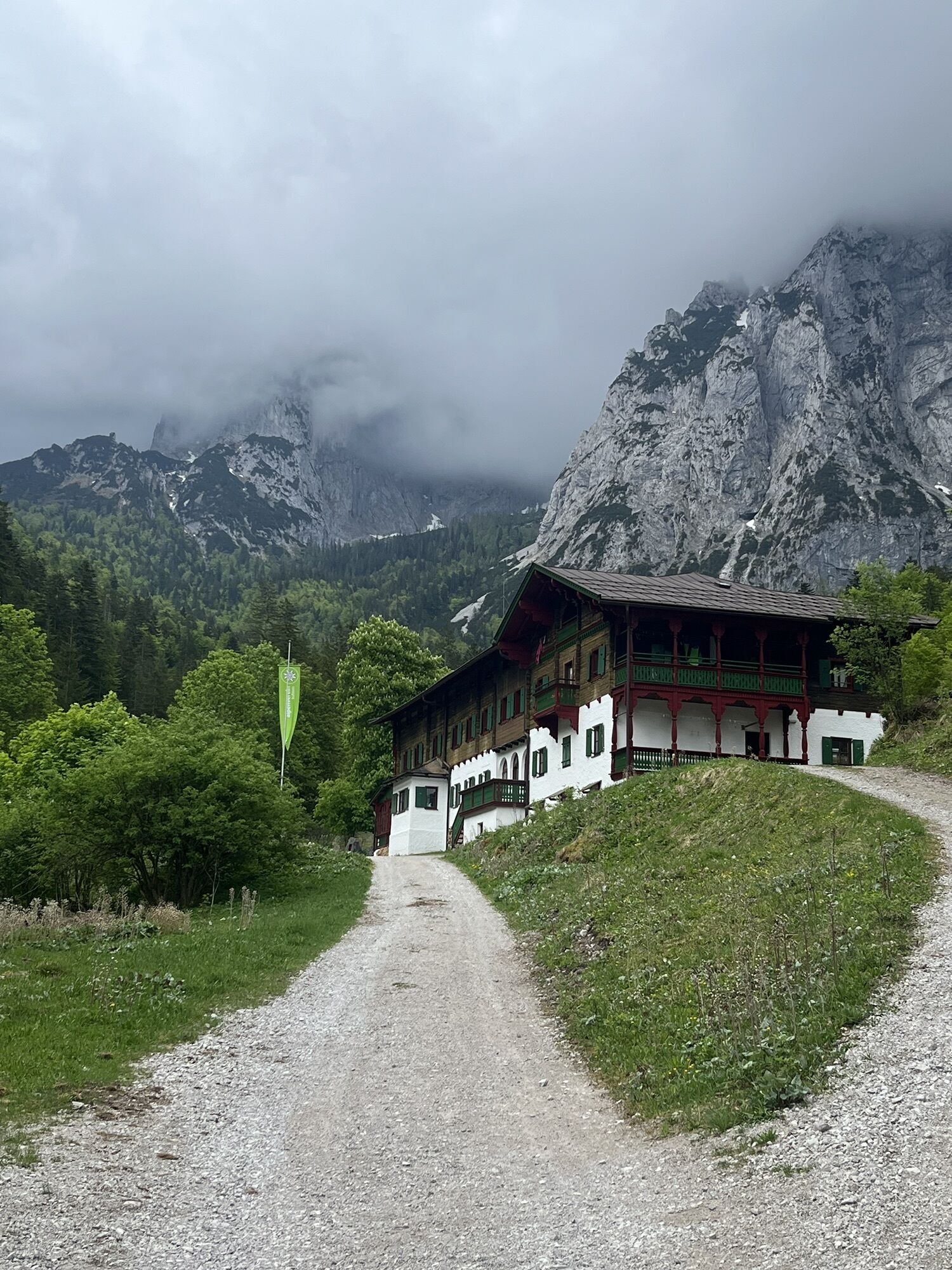
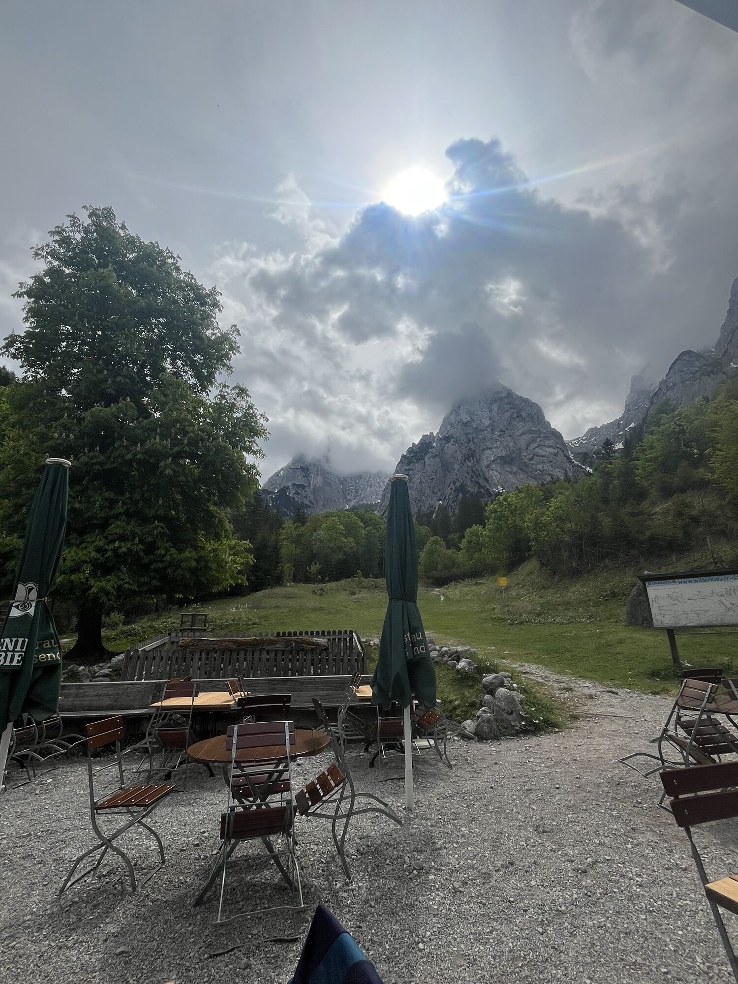
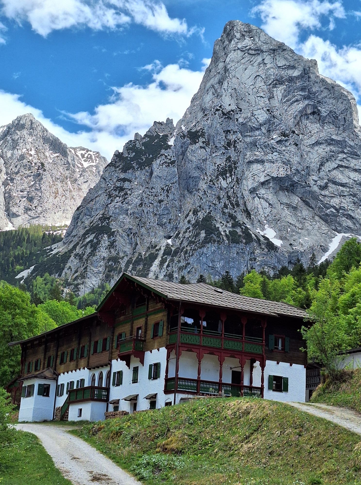
Downhill again via the Güttlersteig to the Kaisertal to the Anton-Karg-Haus (Hinterbärenbad) or Hans-Berger-Haus. It is best to spend the night there, otherwise it can be very late.
Day two:
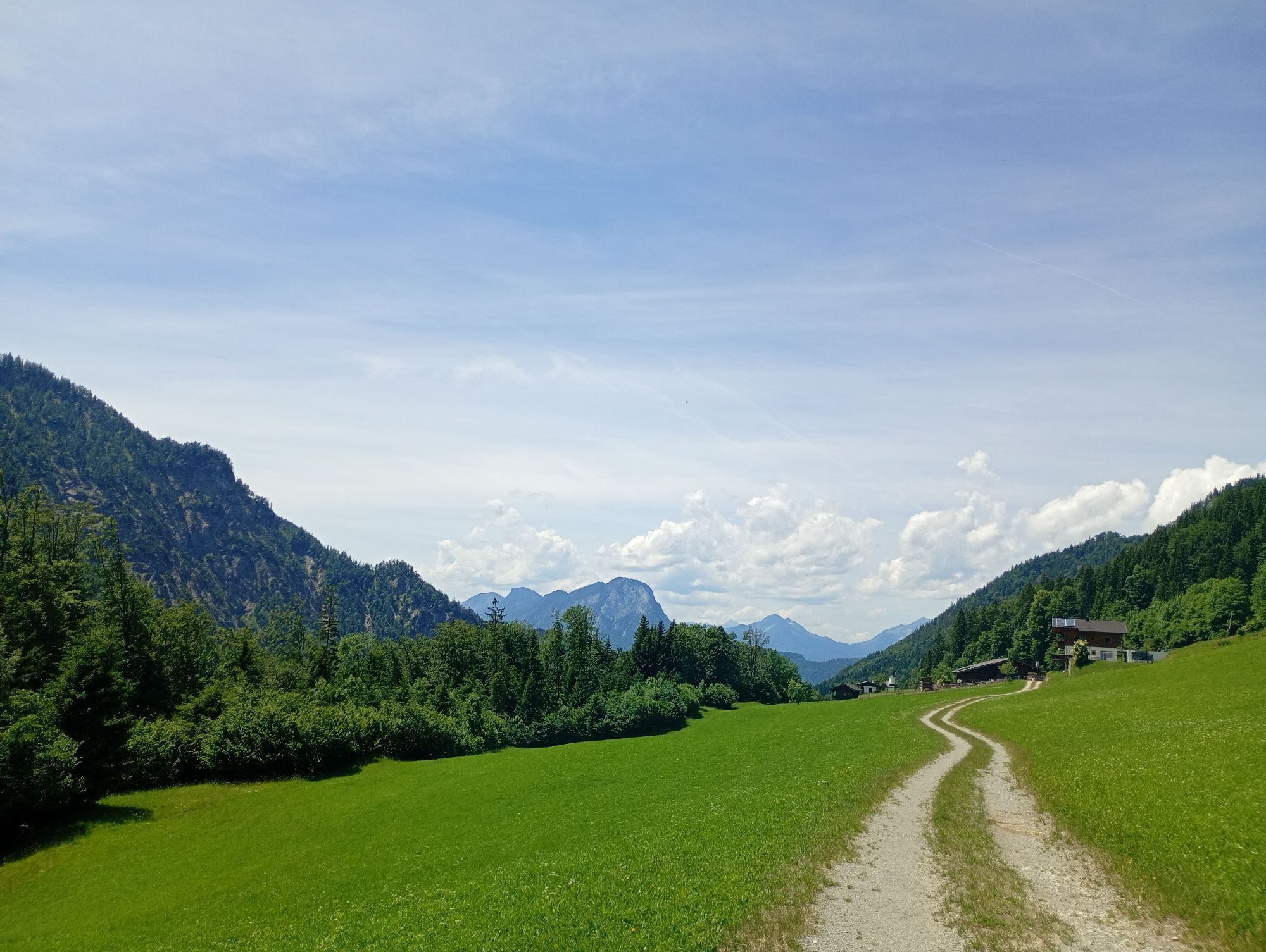
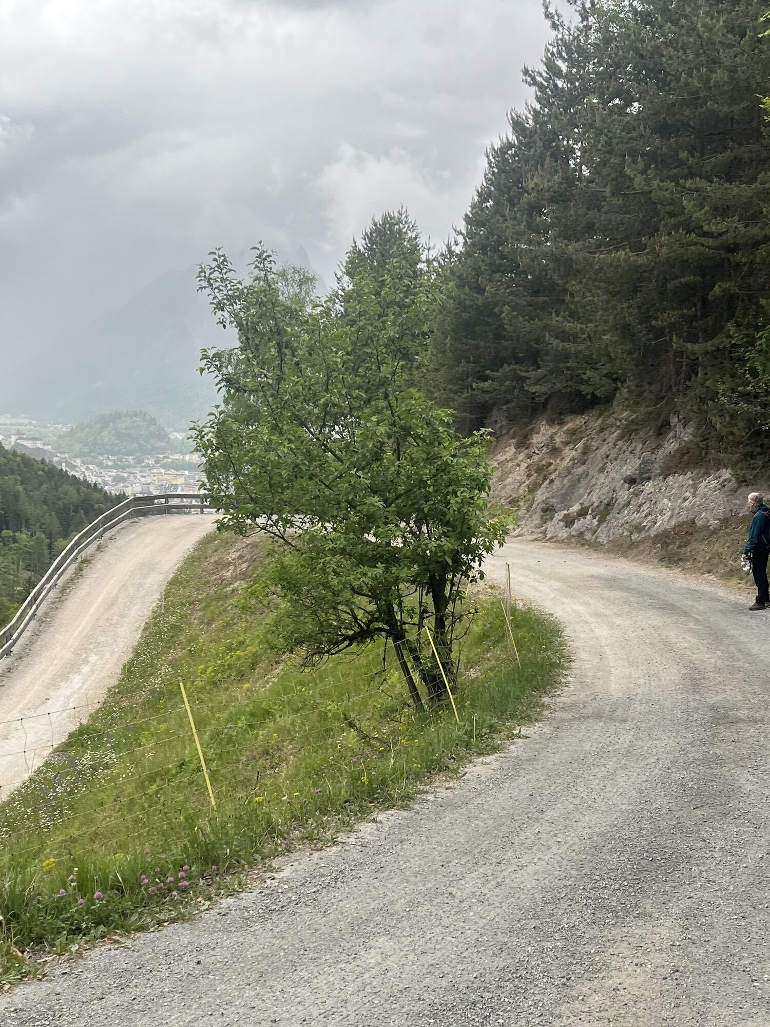
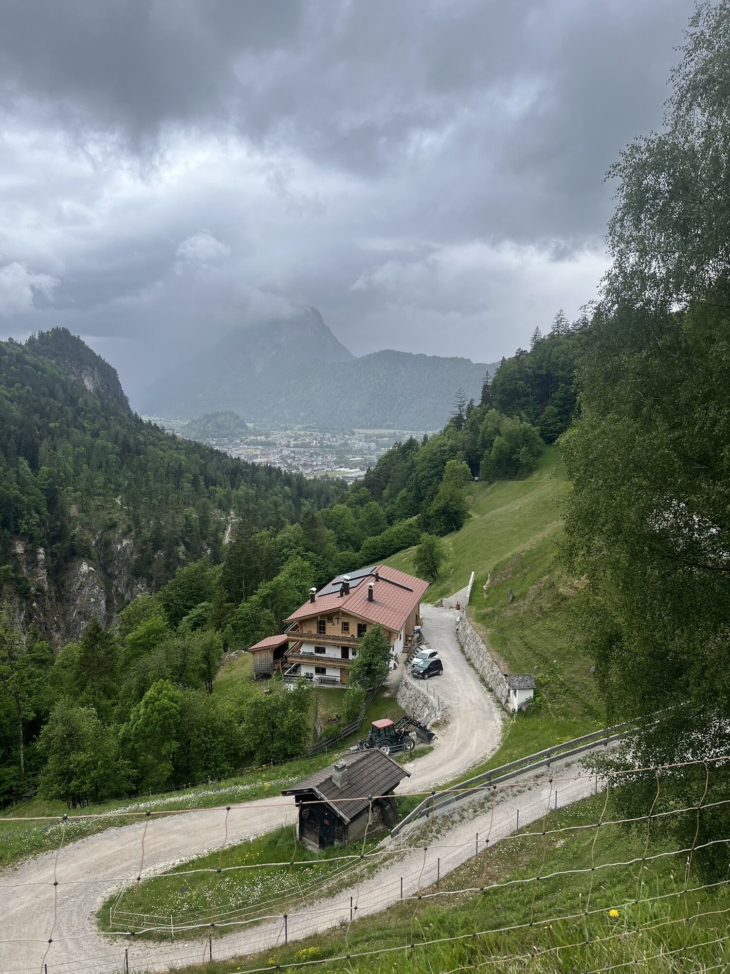
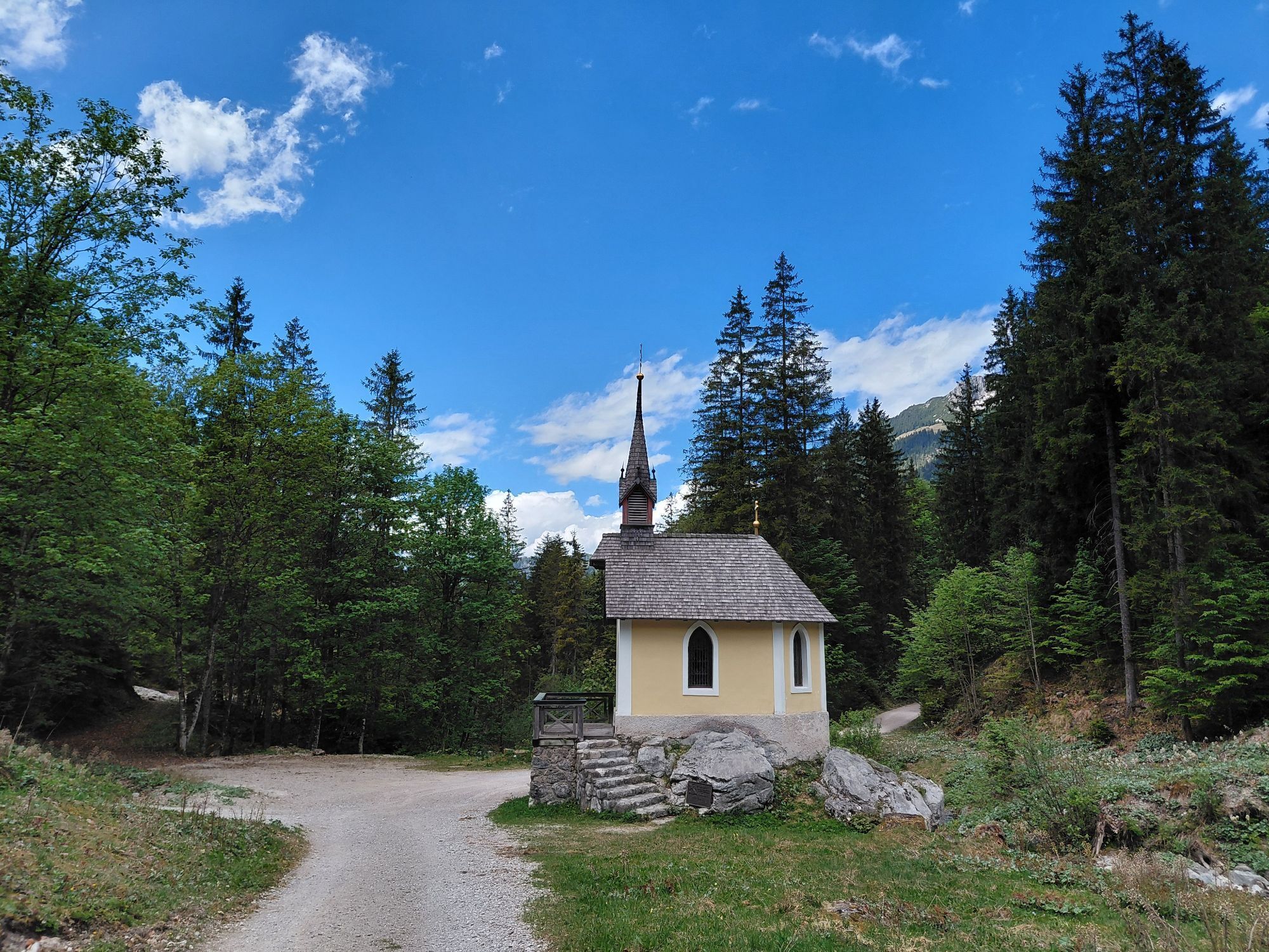
The 2nd day is rather meant for loosening the muscles. It is always a contemplative walk out of the Kaisertal, past many huts and inns and finally the approx. 280 steps out of the Kaisertal.
Mountain experience and good physical condition are absolute prerequisites for this route!

Snacks (e.g. fruit, muesli bars, wholemeal breads) and drinks (allow for sufficient liquid)
First aid equipment
Mobile phone with full battery
Hiking map and guide literature
Sun protection (sunscreen and glasses, cap)
Bivouac bag
From the Inntal motorway A12 take the exit Kufstein Nord.
With the KufsteinerlandCard within the region bus free of charge.
Valley station Kaiserlift, subject to a charge.
Hol dir den Einblick Immer live vor Ort mit über 9.500 Webcams. In der Touren App von bergfex siehst du als Pro-User jetzt zu vielen Touren die passenden Webcams. So kannst du dir direkt die aktuellen Bedingungen ansehen.Beliebte Touren in der Nähe
- 4,7
Kirchdorf: Zur geheimnisvollen Teufelsgasse
mittelWanderung 7,90 km - 5,0
Priener Hütte
mittelWanderung 7,99 km - 4,9
Schleierwasserfall Runde
mittelWanderung 5,63 km - 4,8
Gruttenhütte über Klammlweg
mittelWanderung 5,61 km - 5,0
Stripsenjoch Klettersteige/ Rundwanderung von Griesener Alm über Stripsenjochhaus und Feldberg
mittelKlettersteig 10,2 km - 4,8
Ellmauer Tor (22.07.2020)
mittelWanderung 9,32 km - 4,7
Musikantensteig zur Naunspitze
mittelWanderung 8,96 km - 4,9
Kirchdorf: Kaiserbachtal - Stripsenkopf und Feldberg
schwerWanderung 12,6 km - 4,6
Hintersteinersee
mittelWanderung 9,87 km - 4,6
St. Johann in Tirol: Wasserfall & 3 Seen am Kitzbüheler Horn
mittelWanderung 12,7 km
Wandern & Tracking


Verpasse keine Angebote und Inspirationen für deinen nächsten Urlaub
Deine E-Mail-Adresse wurde in den Verteiler eingetragen.





