


Ellmauer Halt summit tour

Ascent:
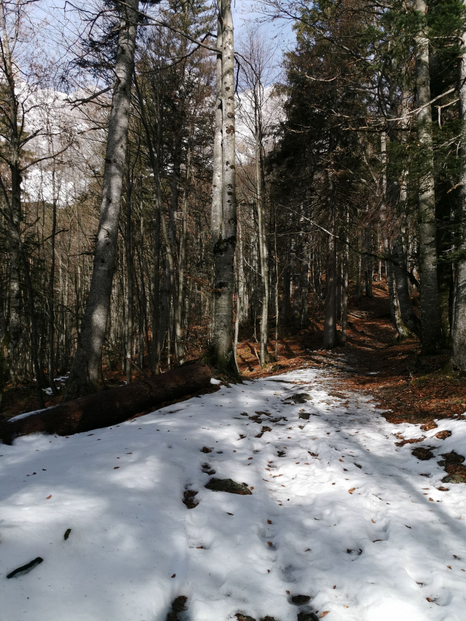
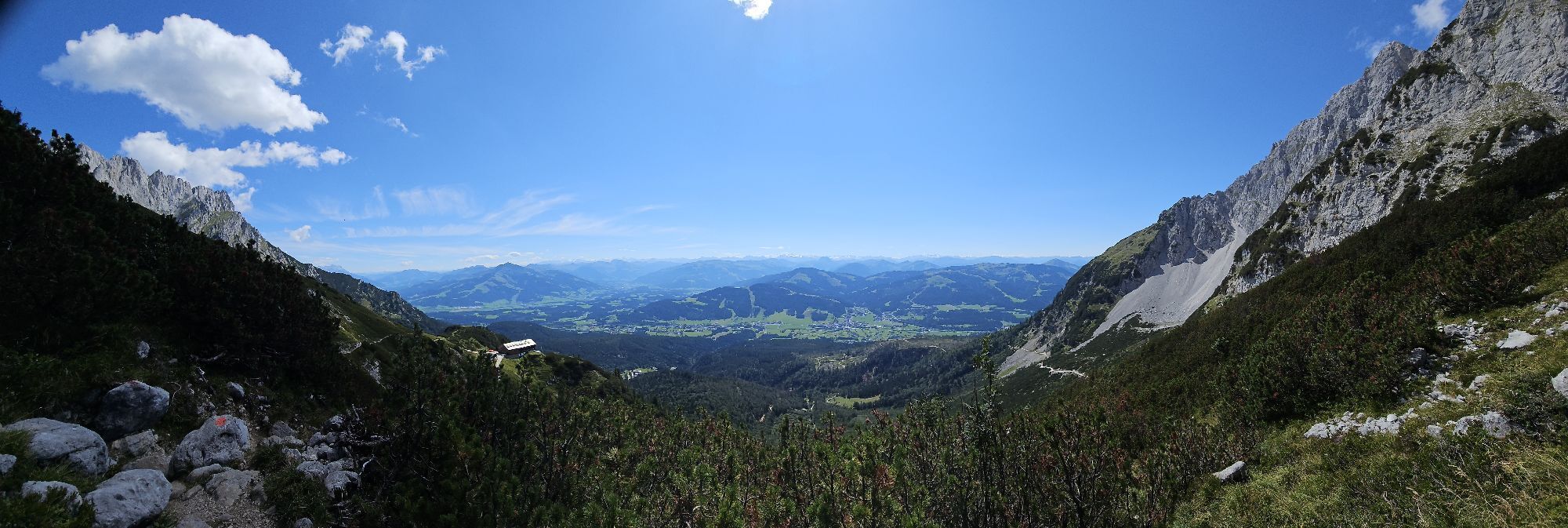
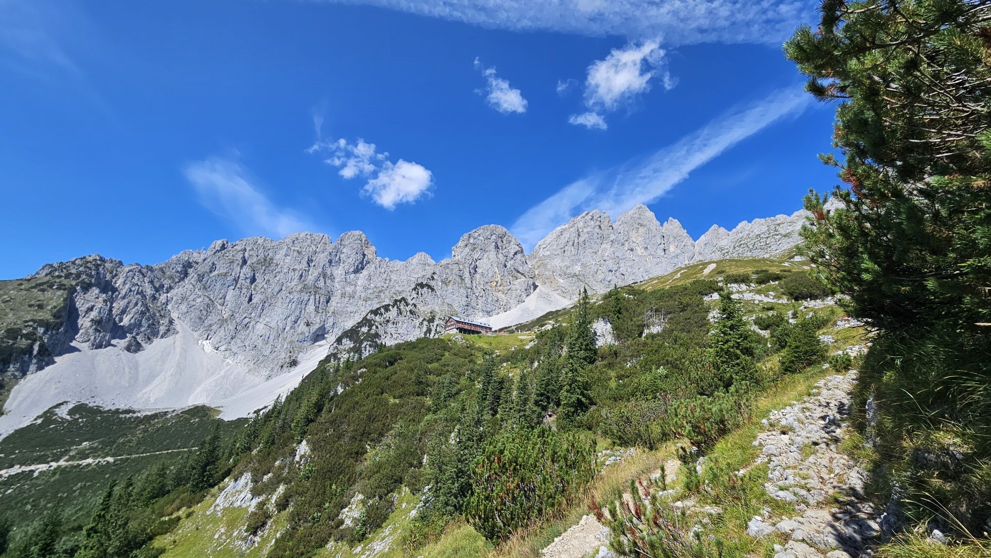
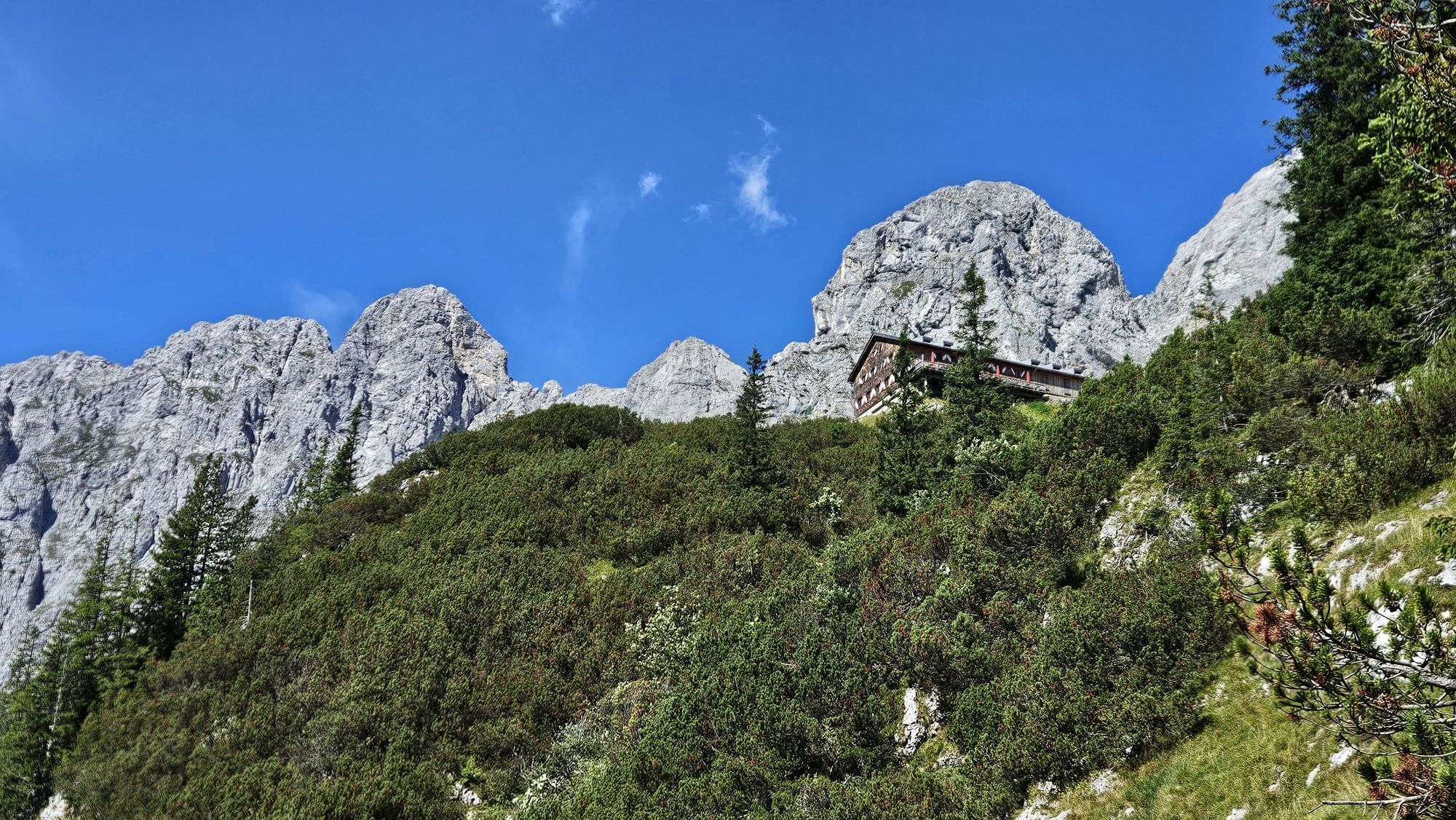
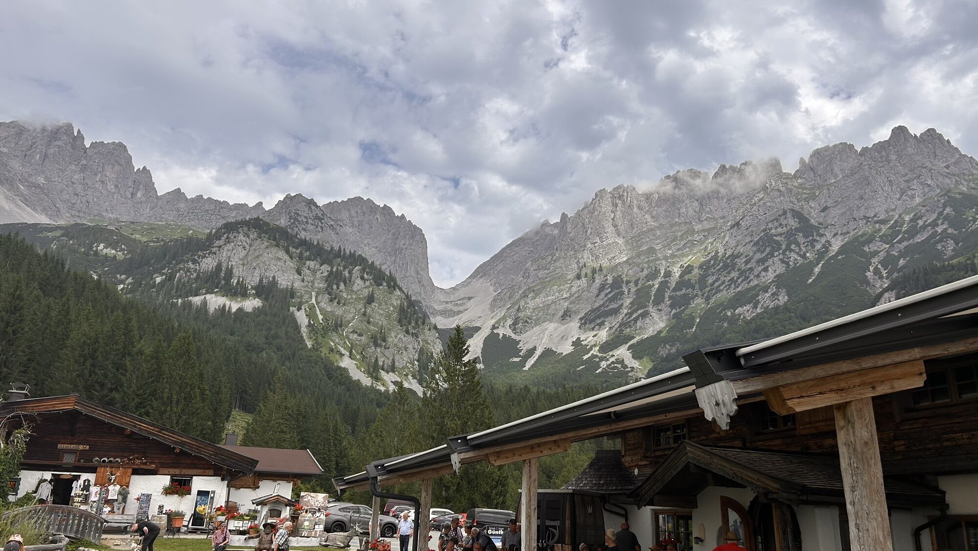
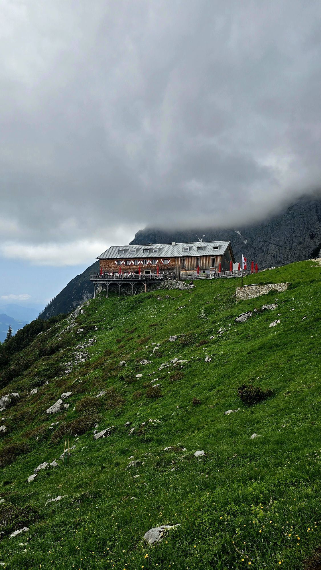
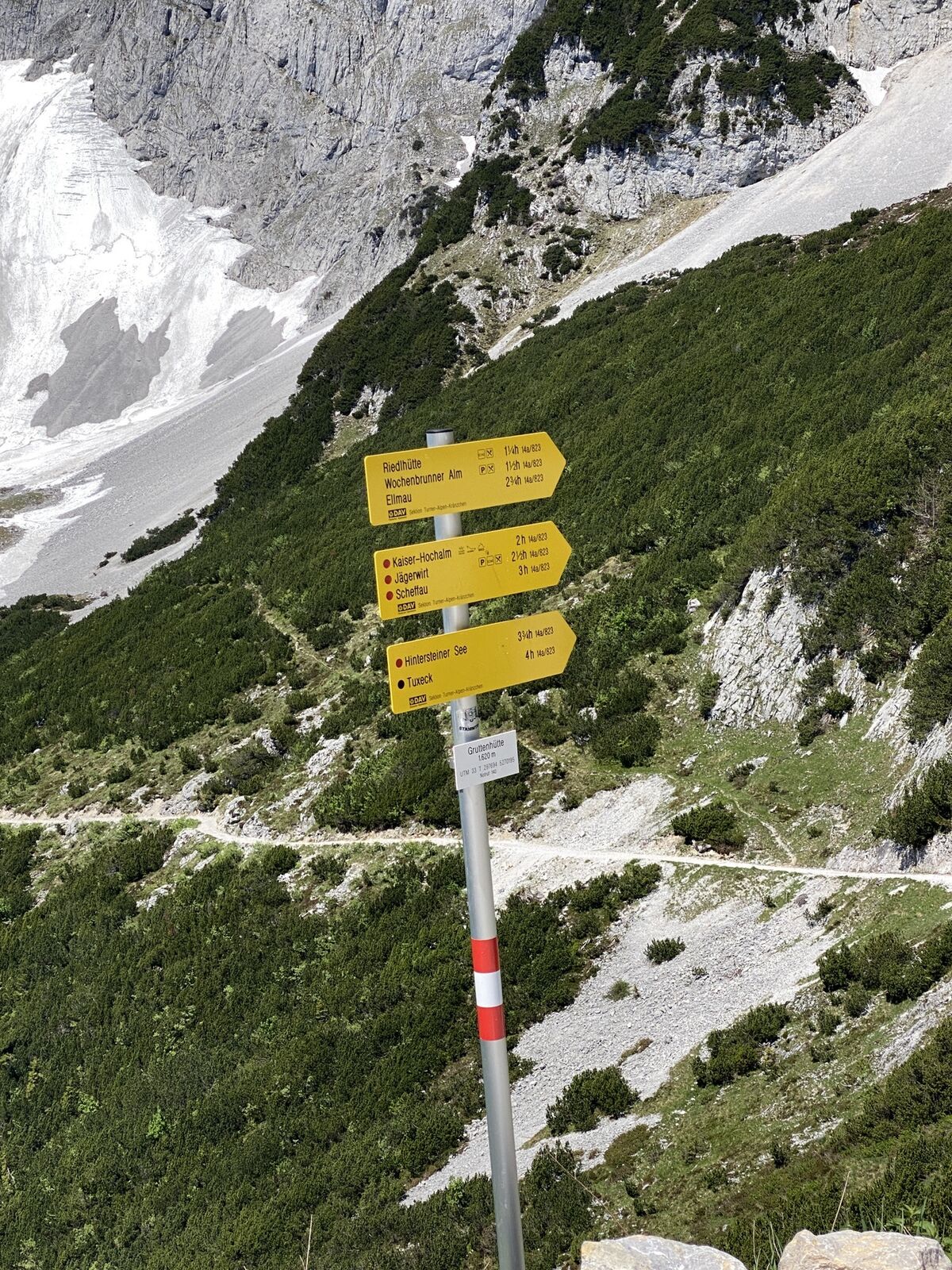
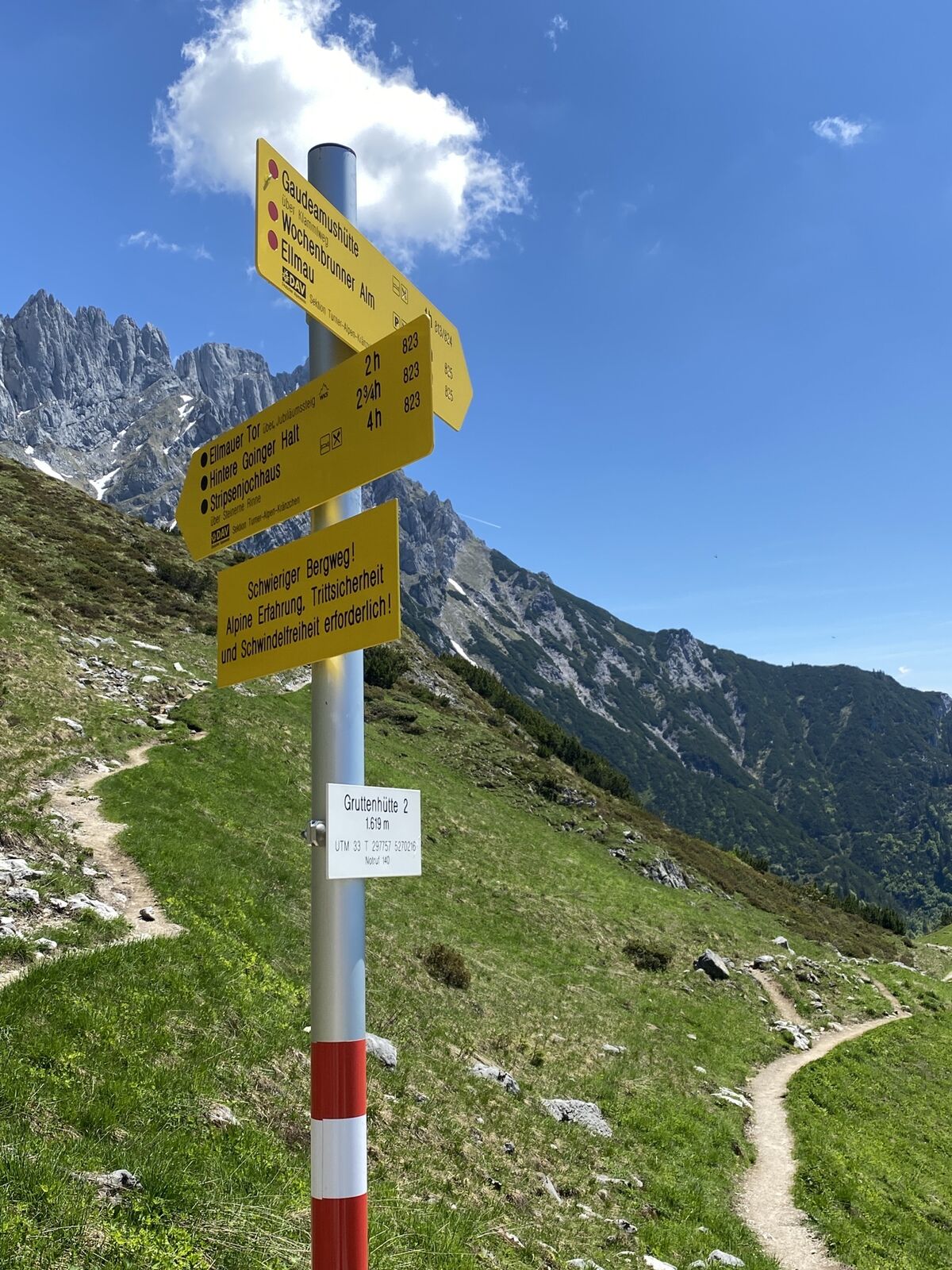
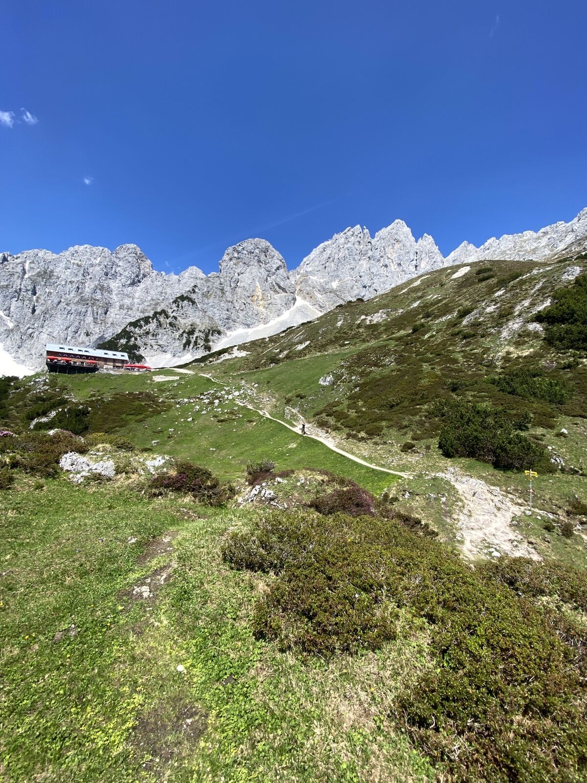
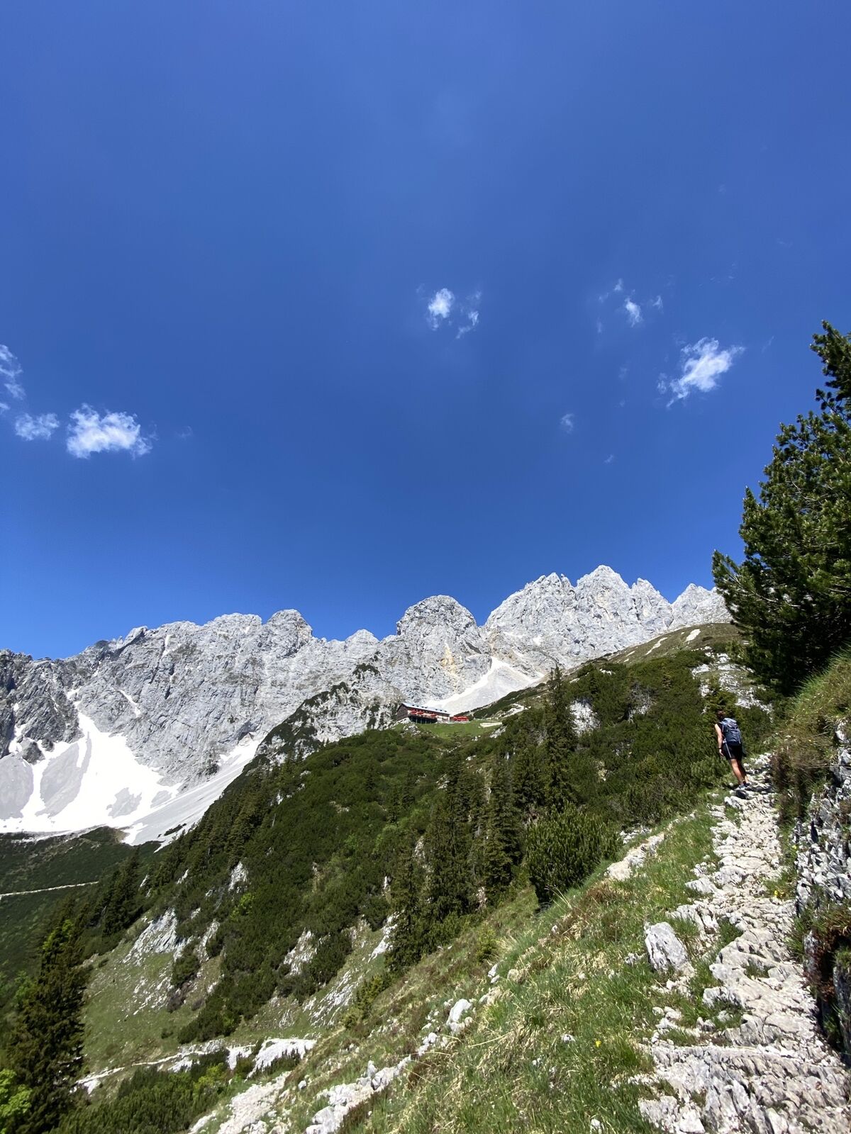
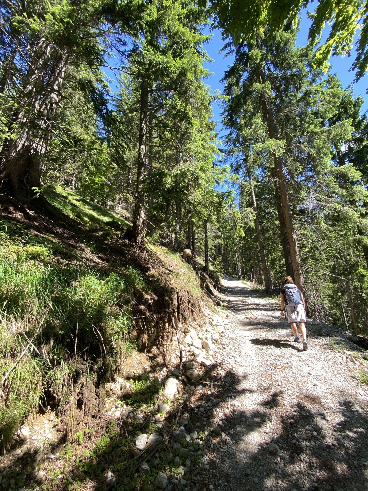
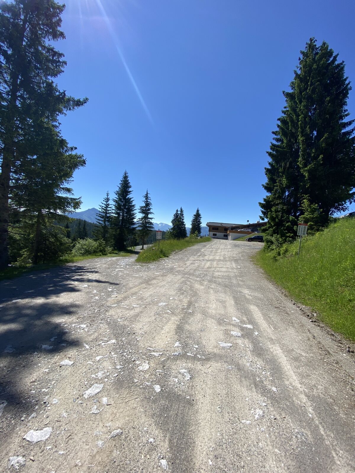
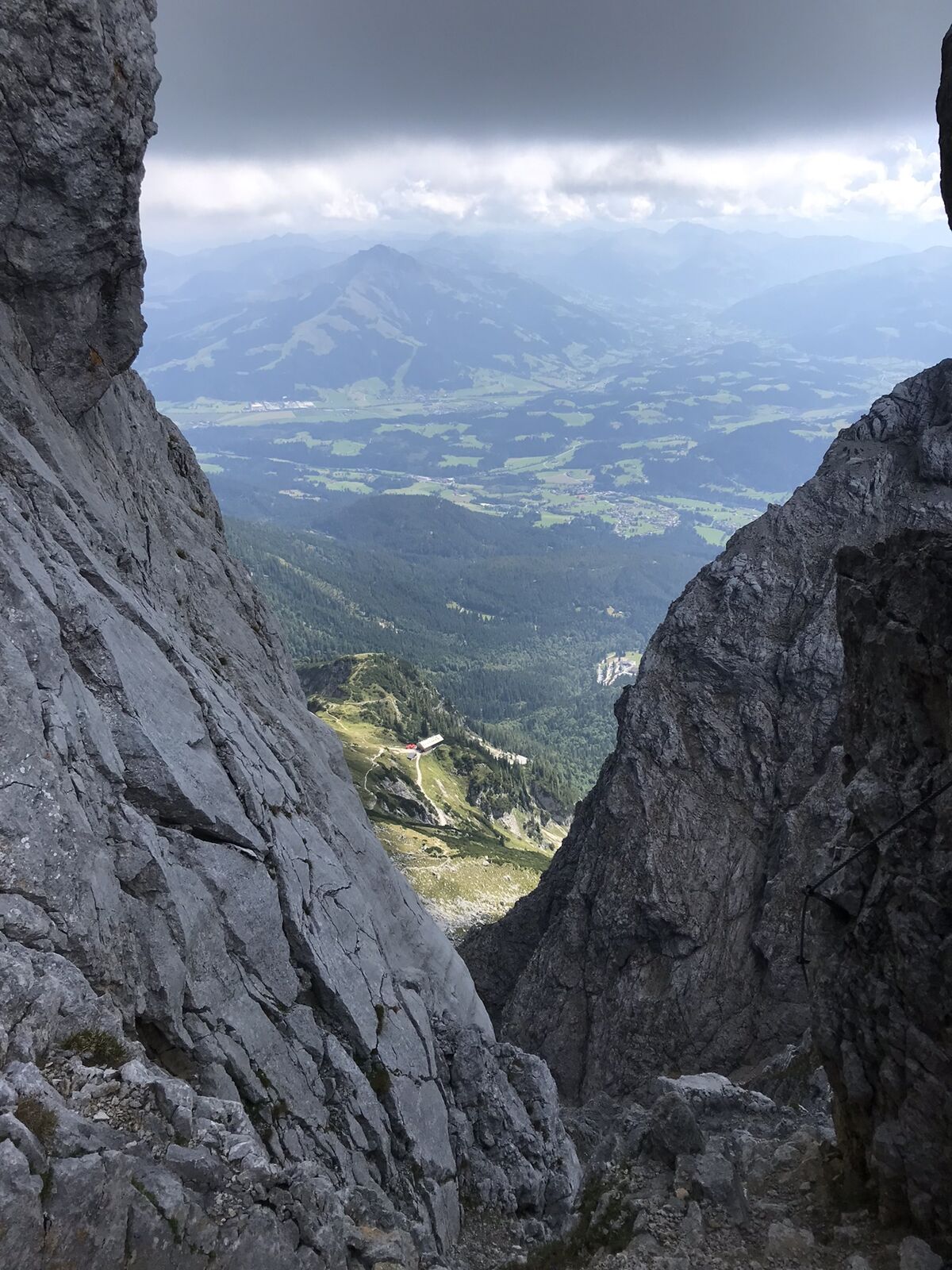
The normal route to the highest peak of the Kaisergebirge begins at the starting point of the hike at the Wochenbrunner Alm. Here you first follow trail 825 to the Gruttenhütte. After a short break,...
Ascent:
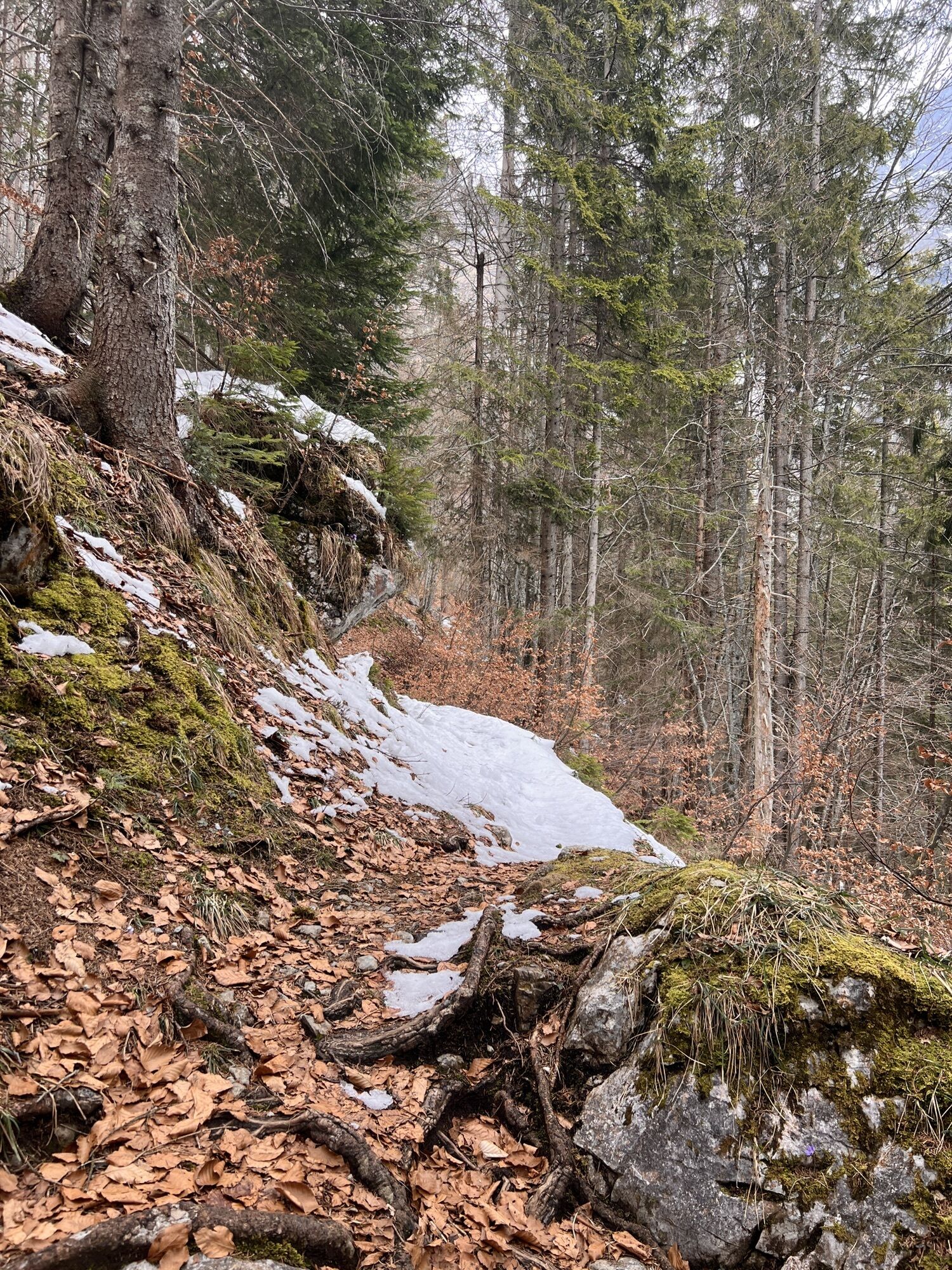
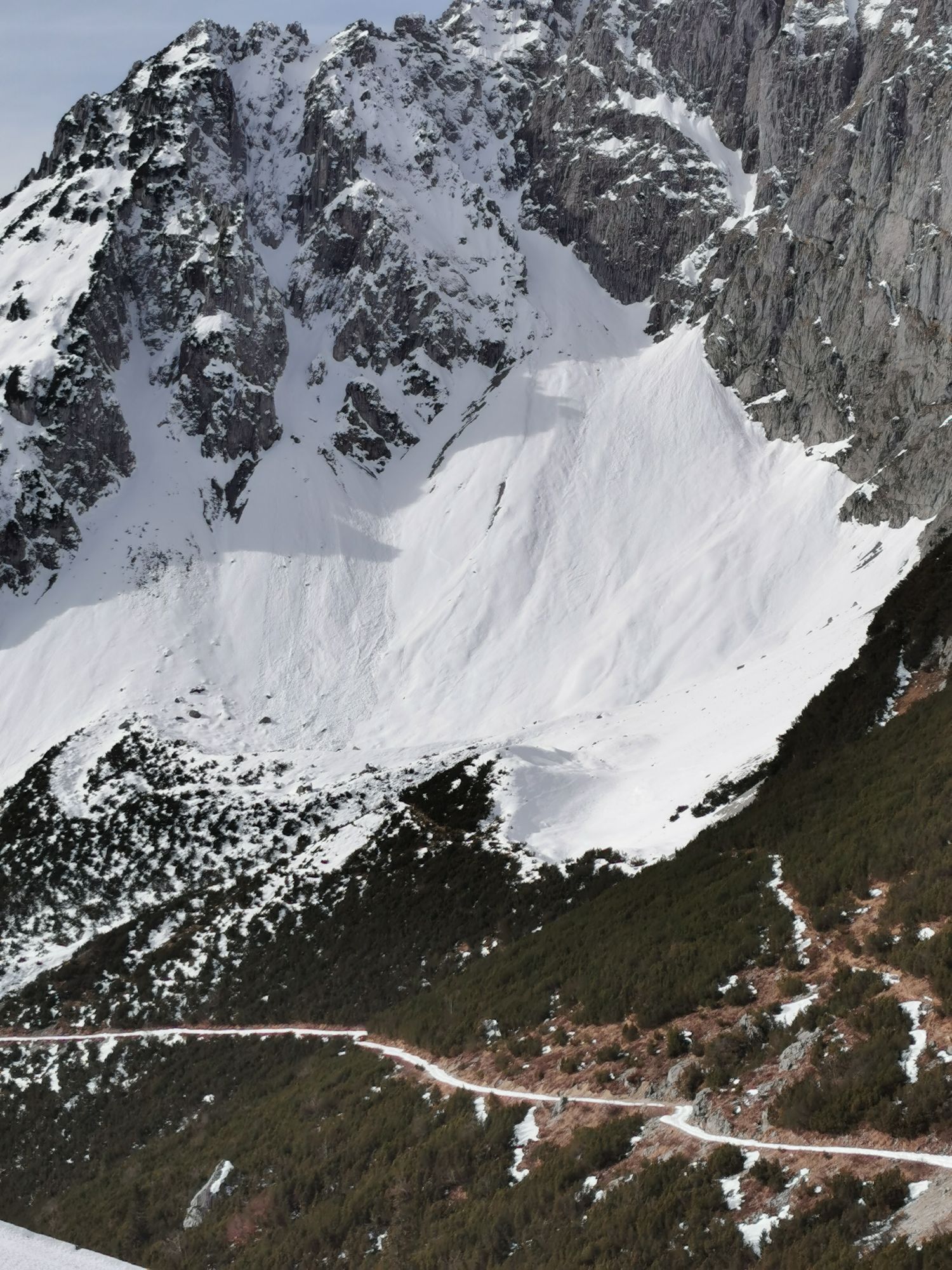
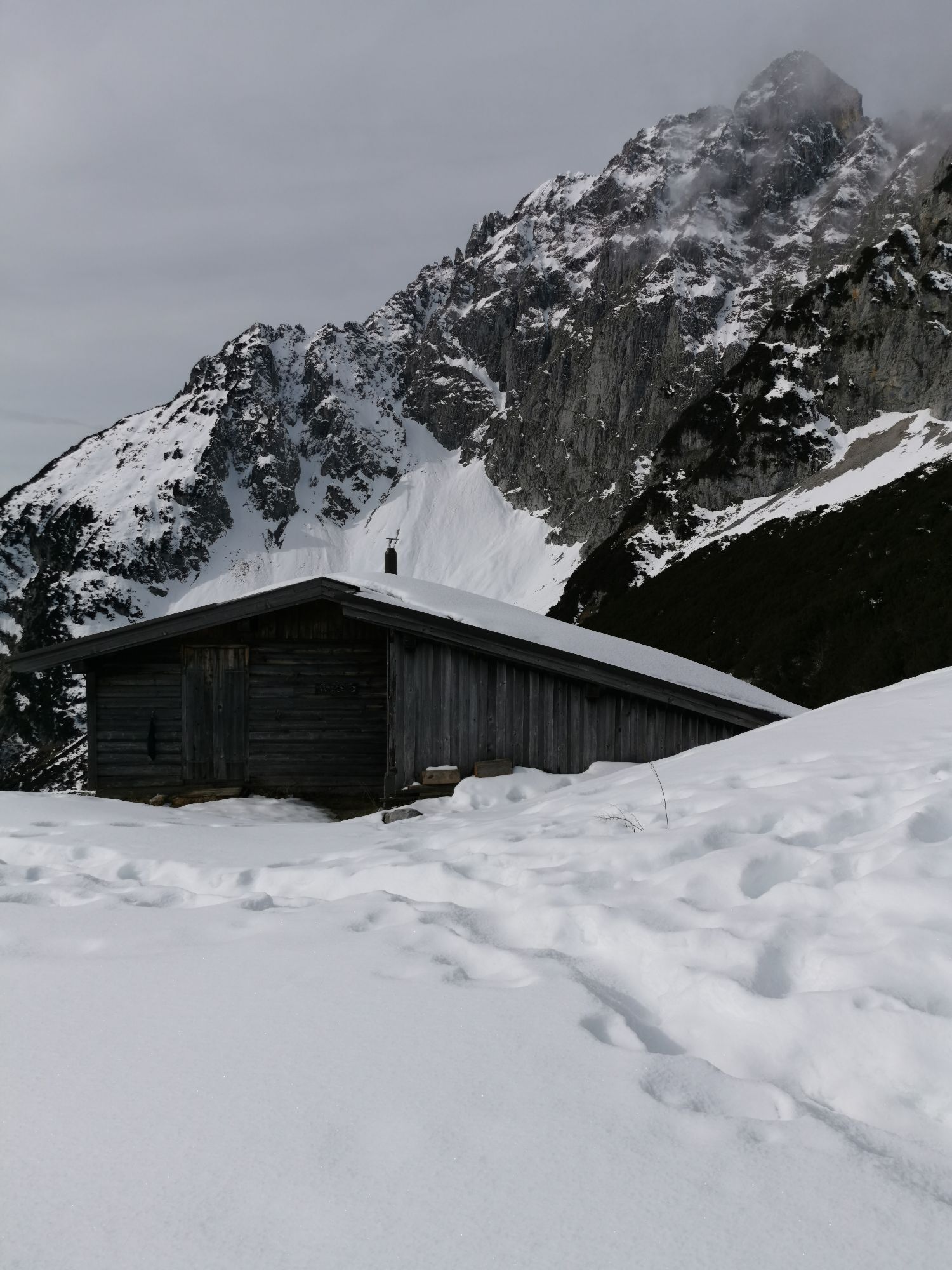
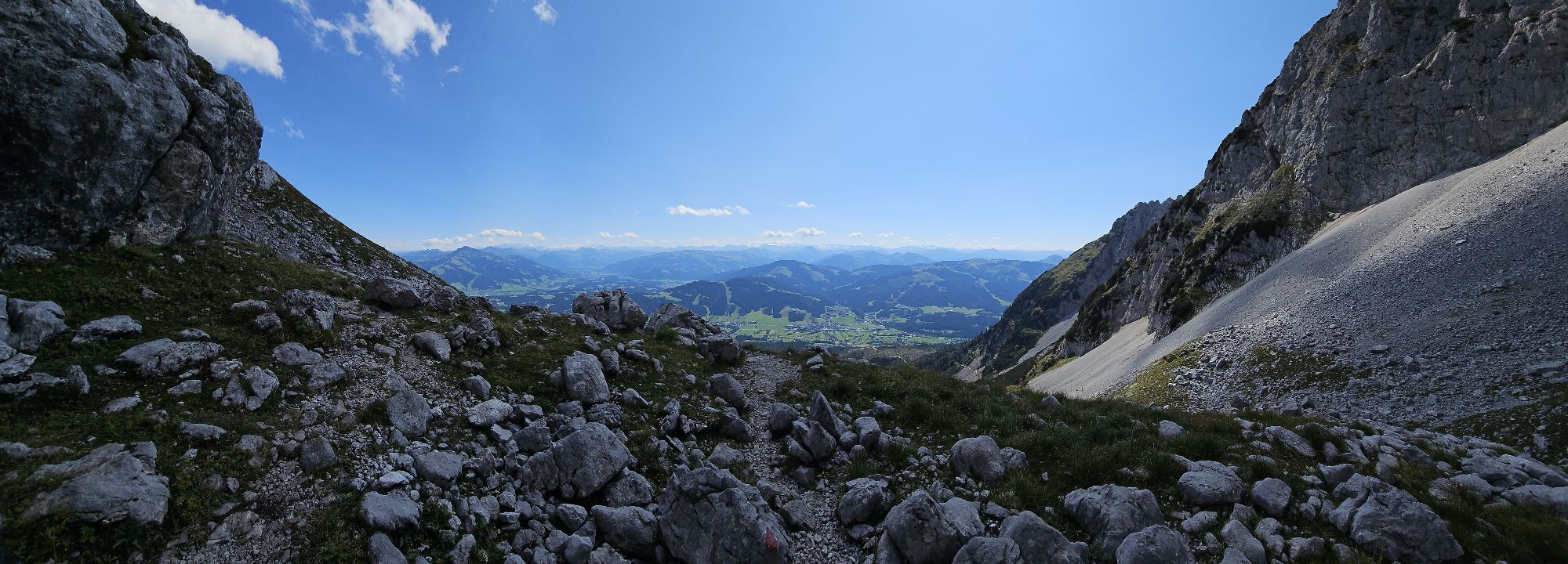
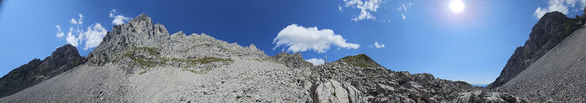
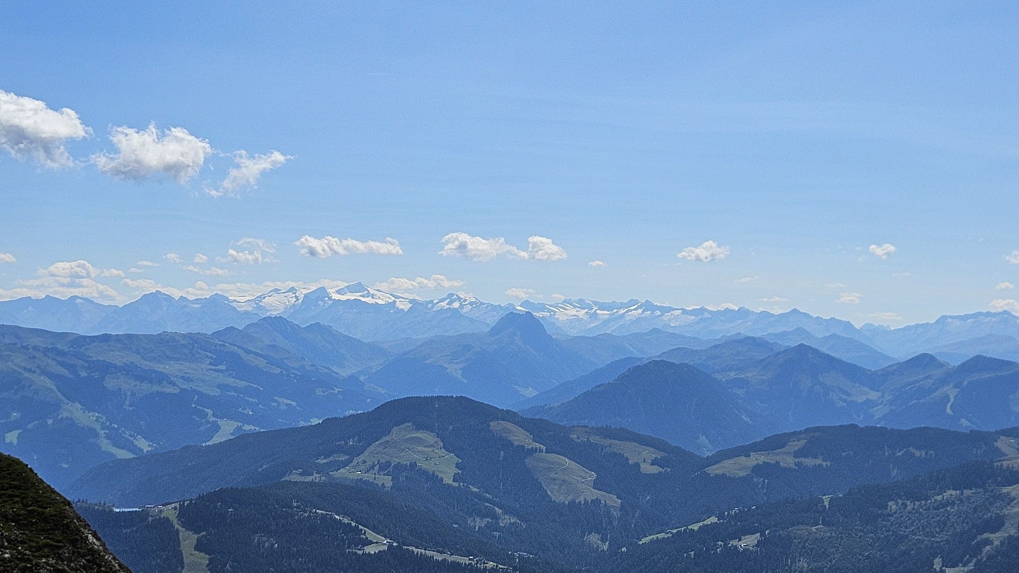
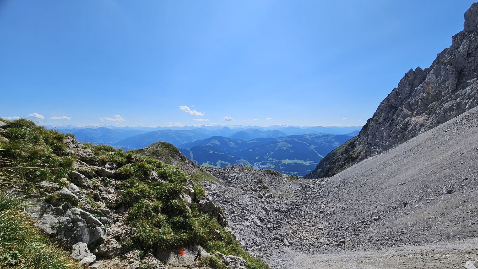
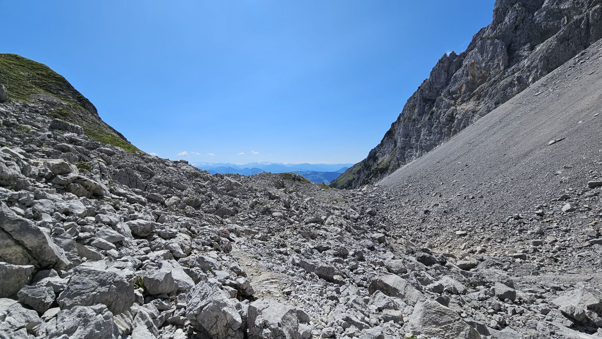
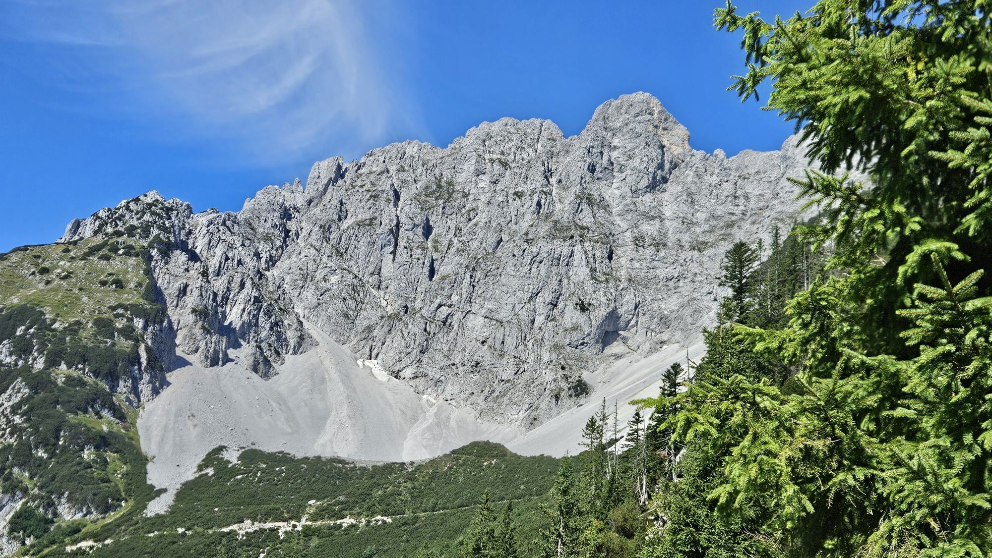
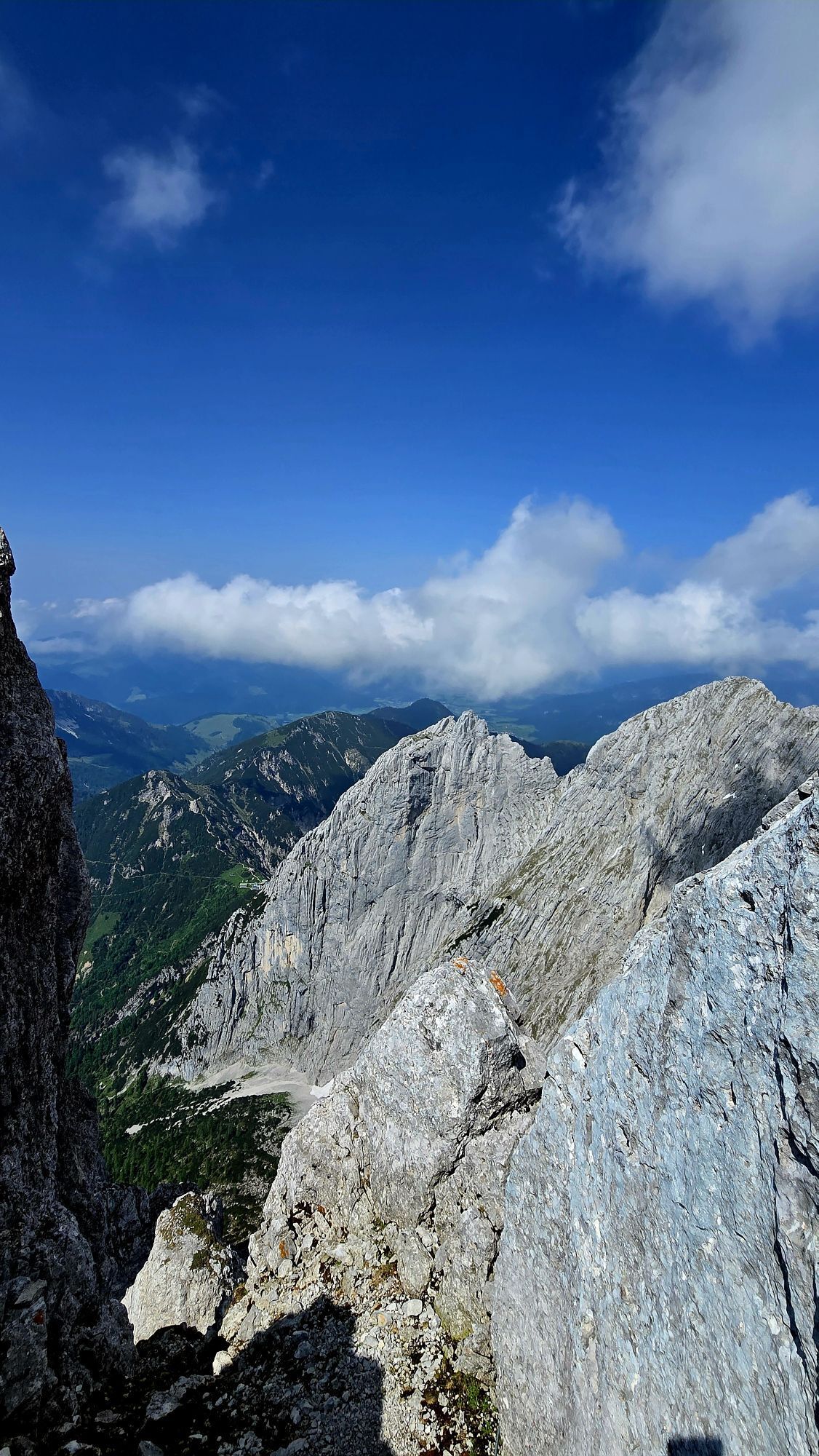
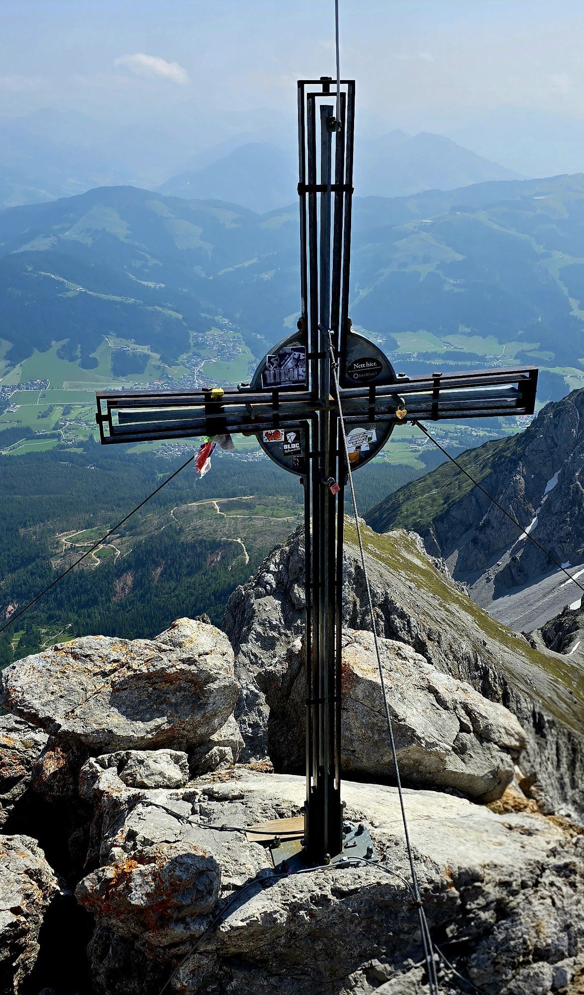
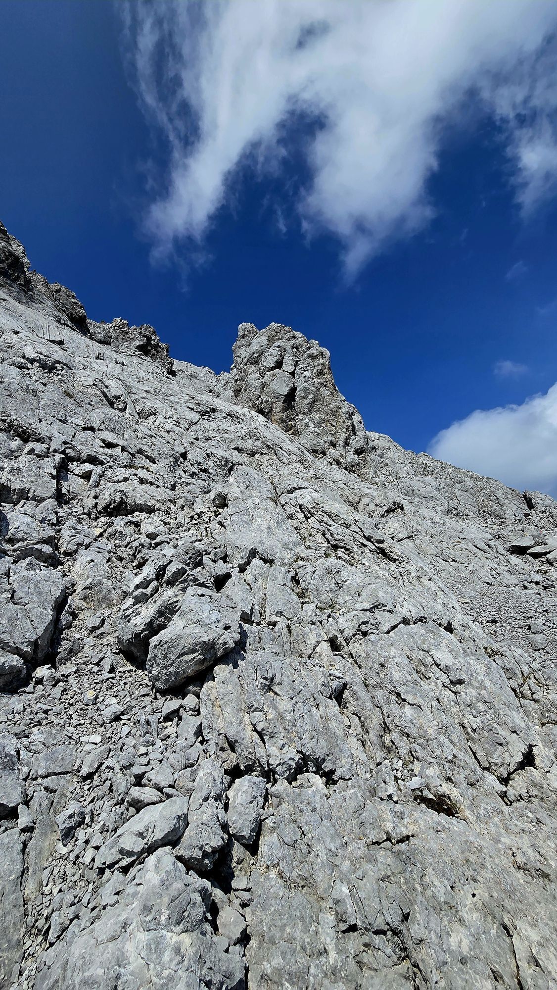
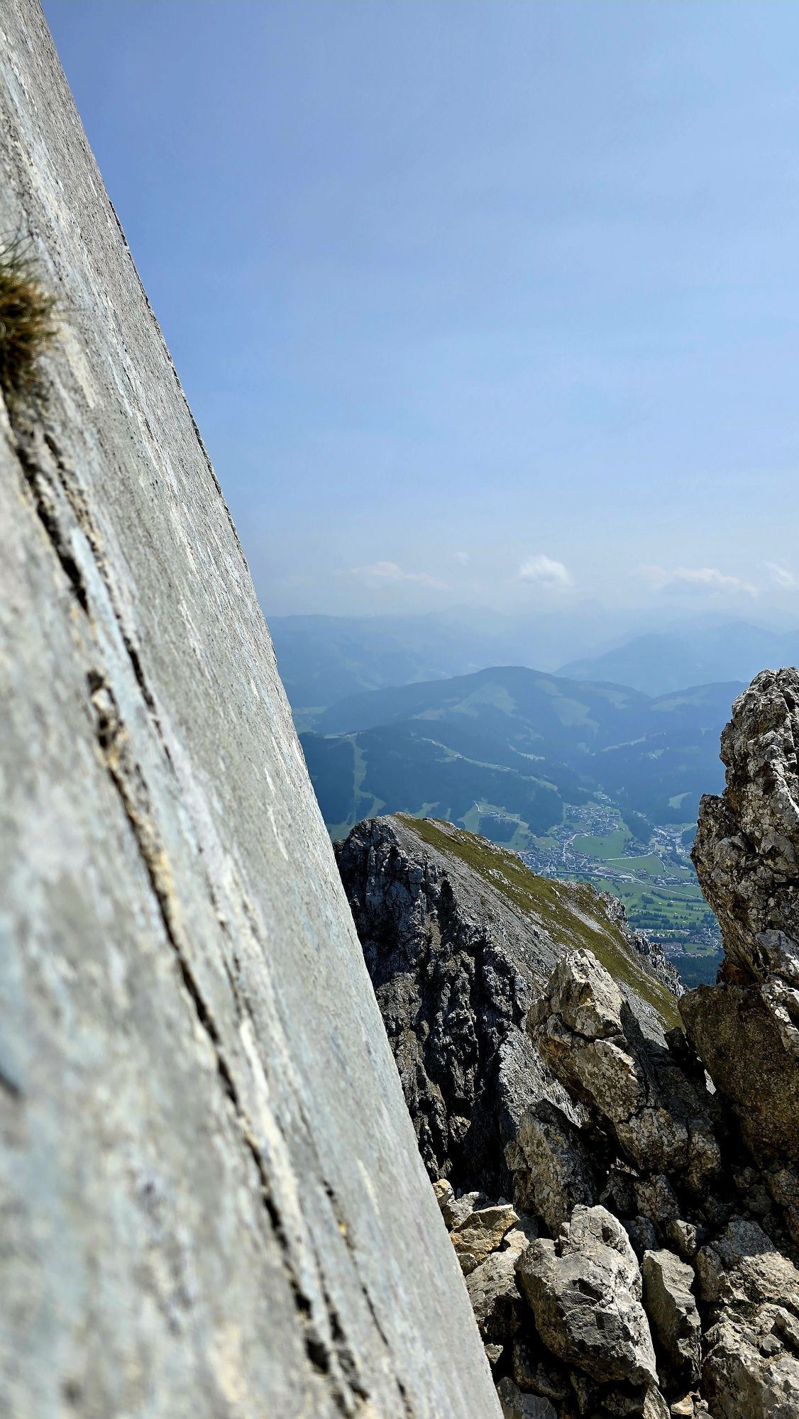
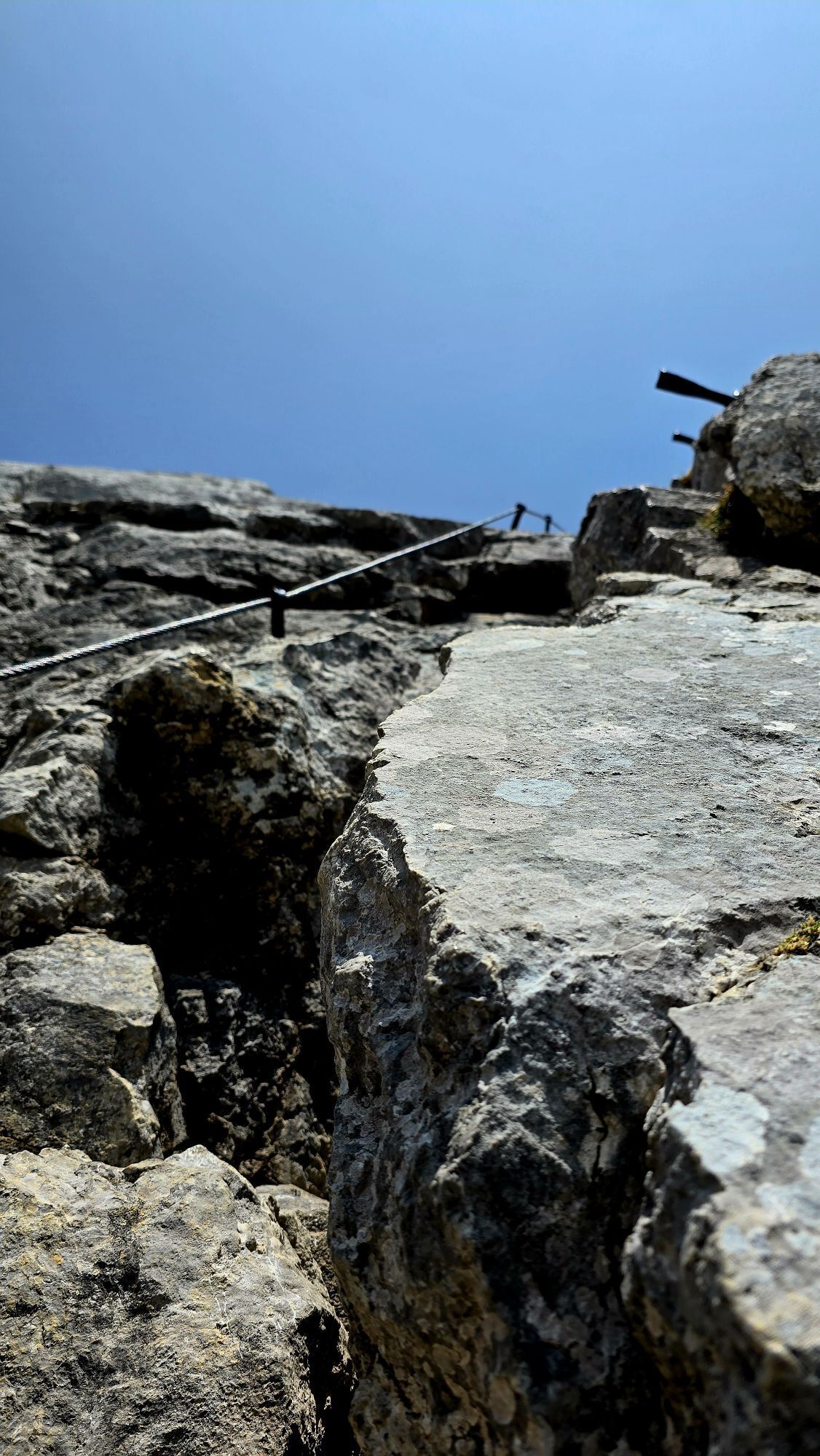
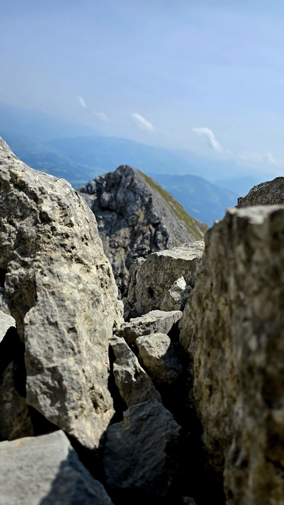
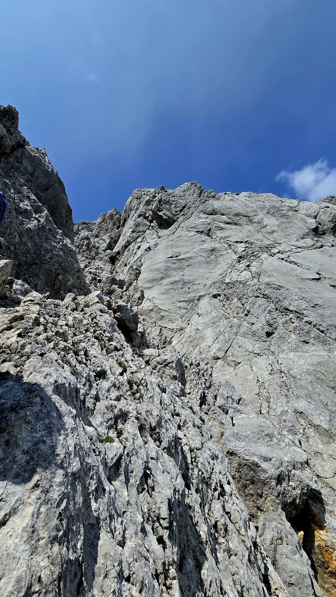
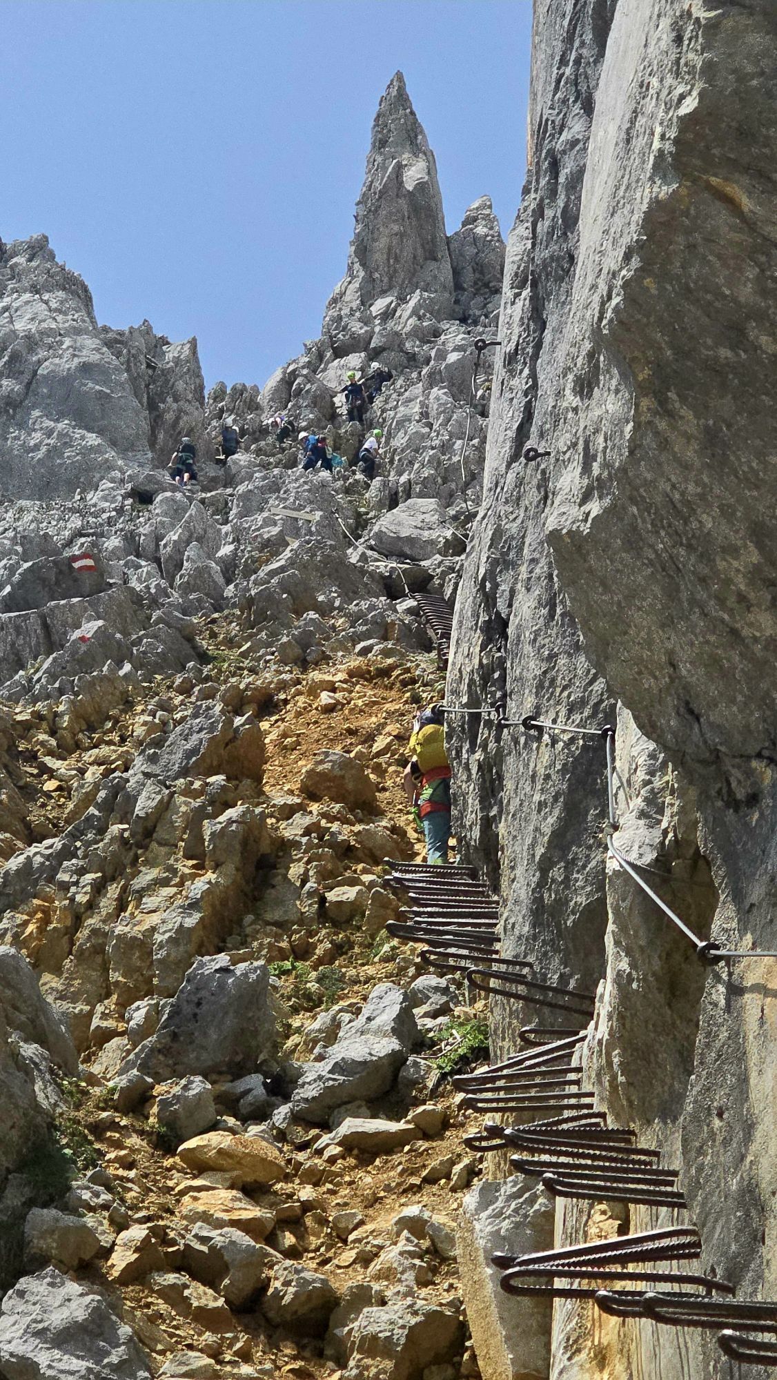
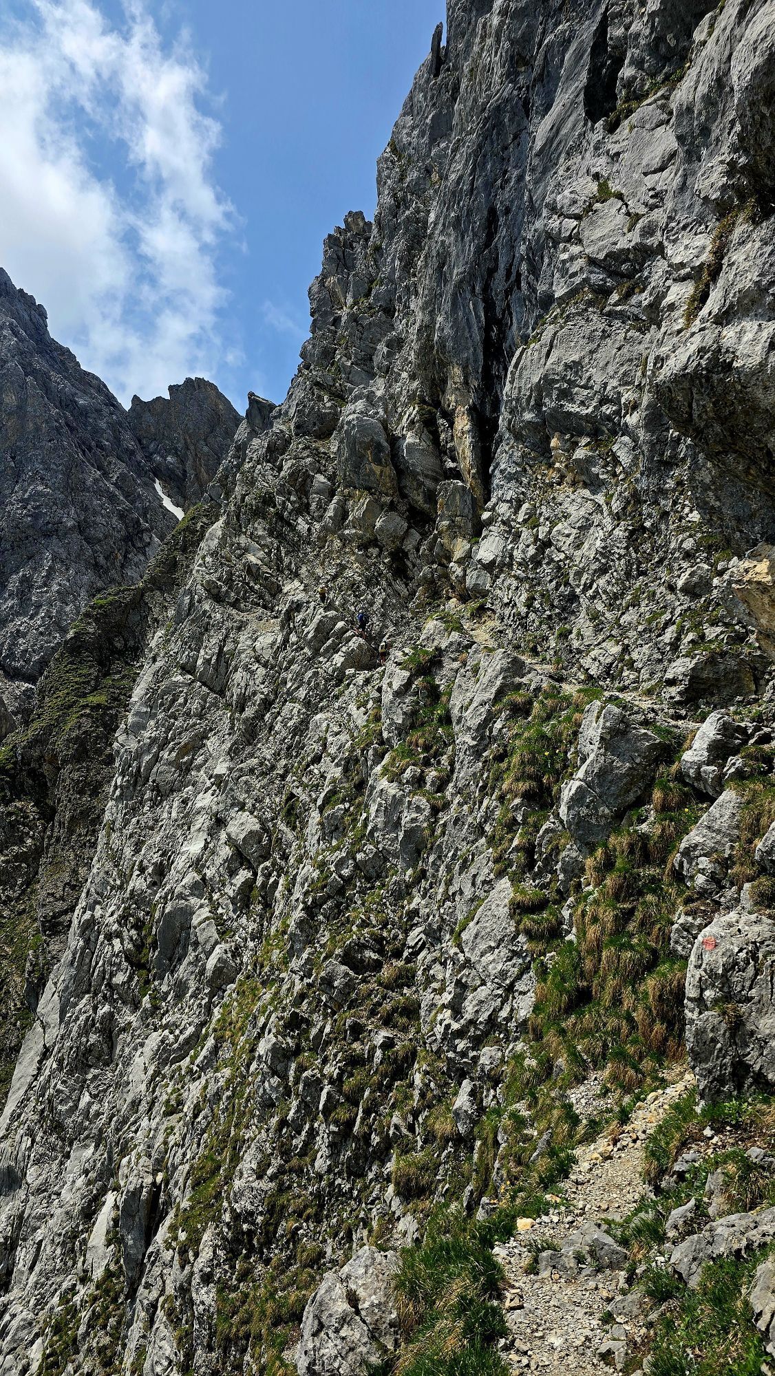
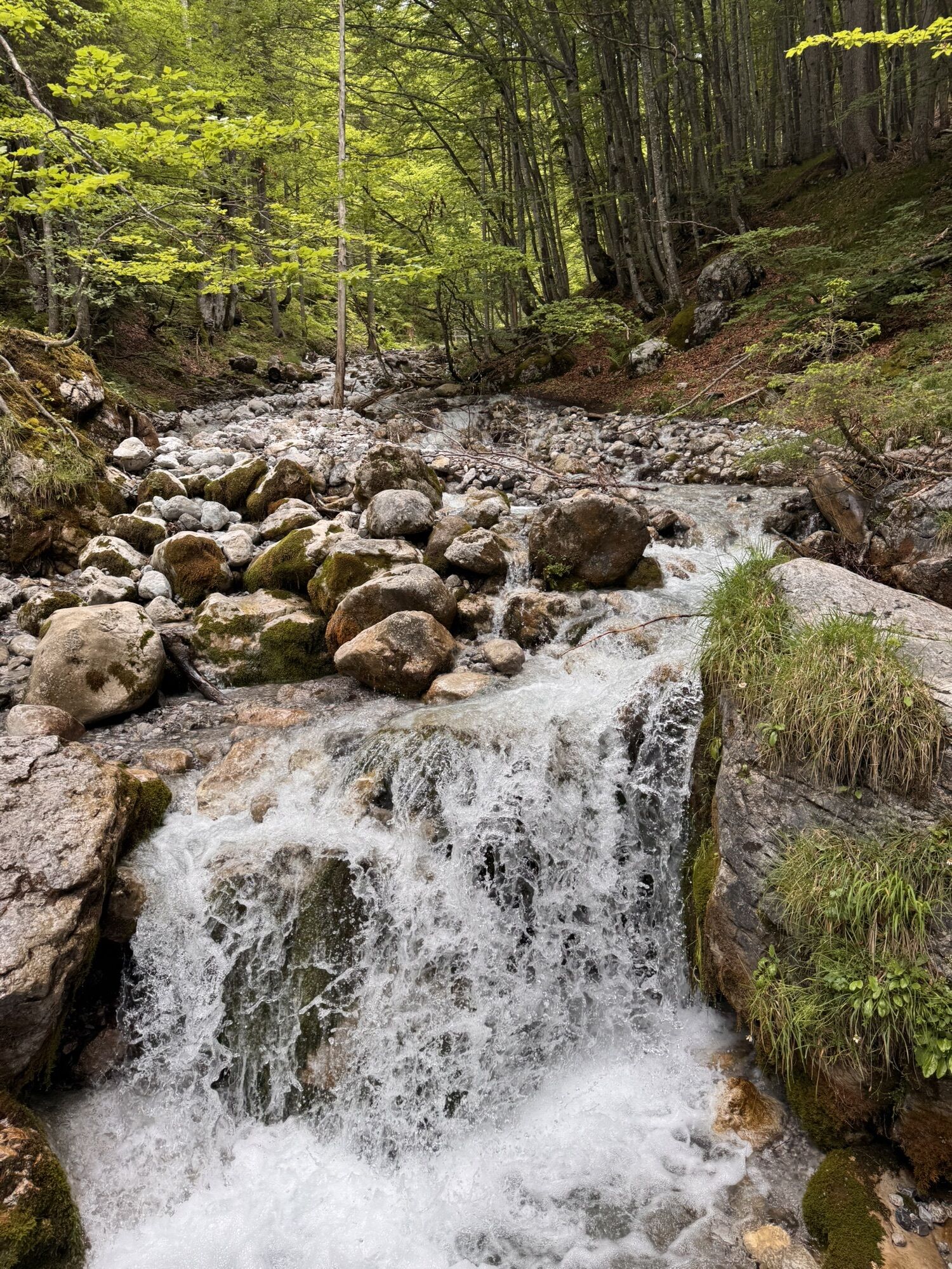
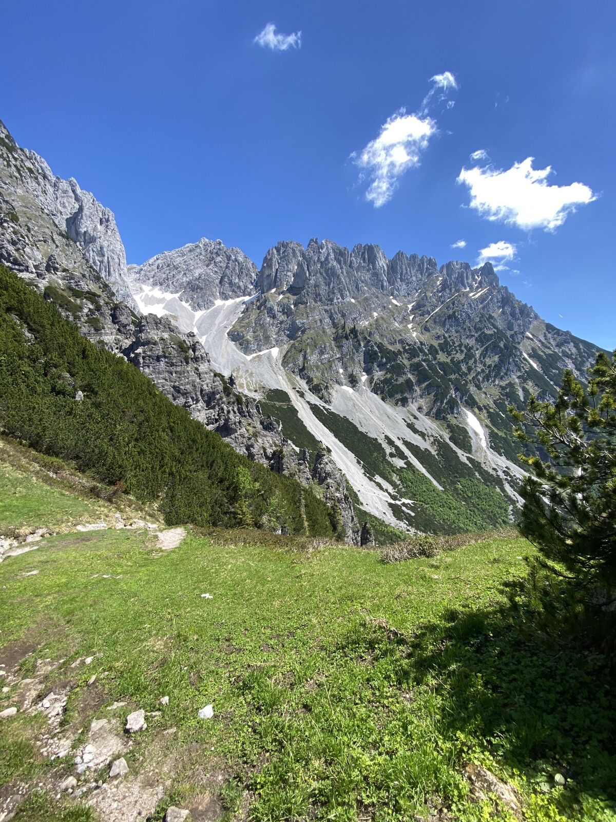
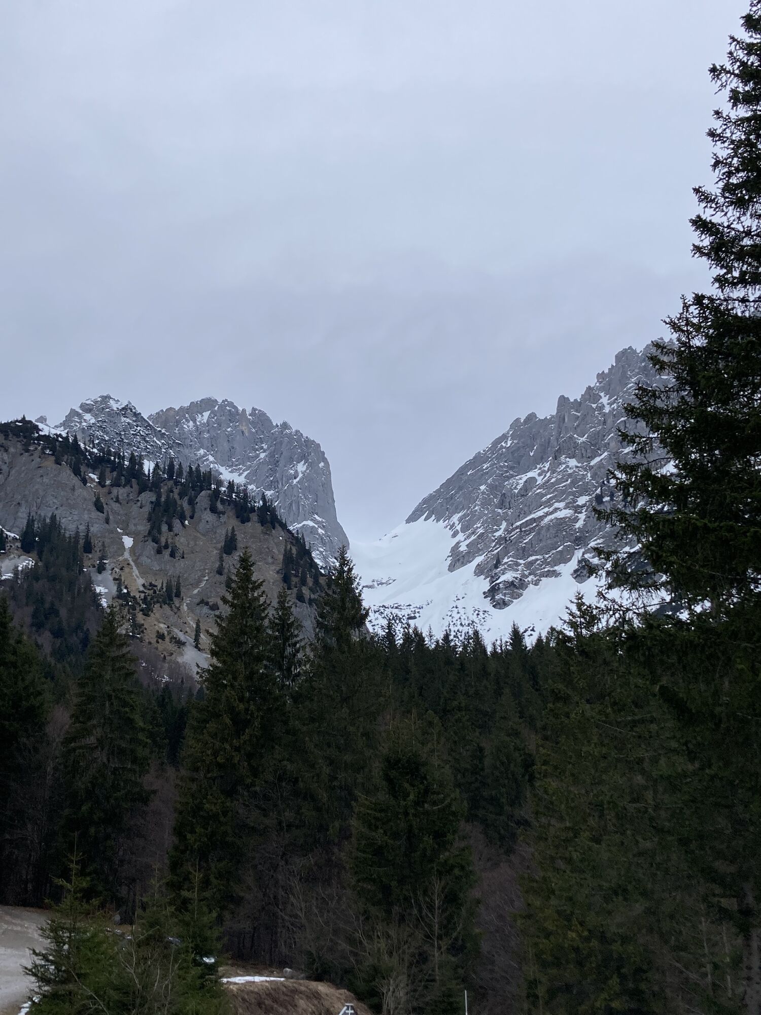
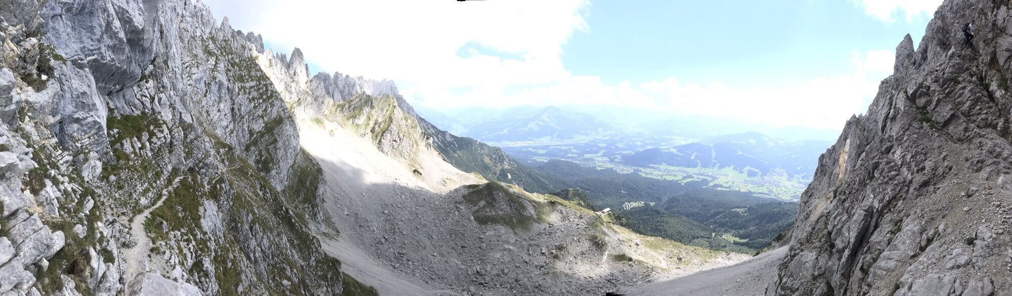
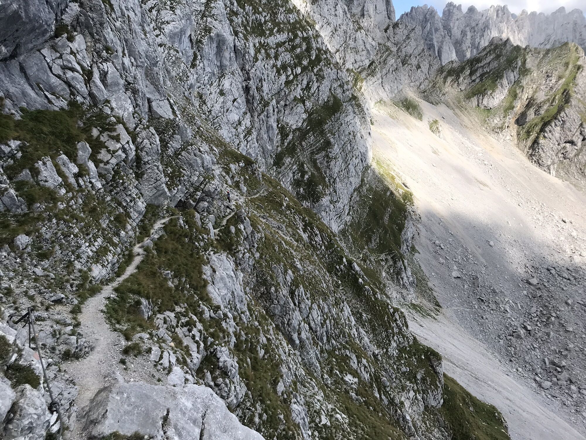
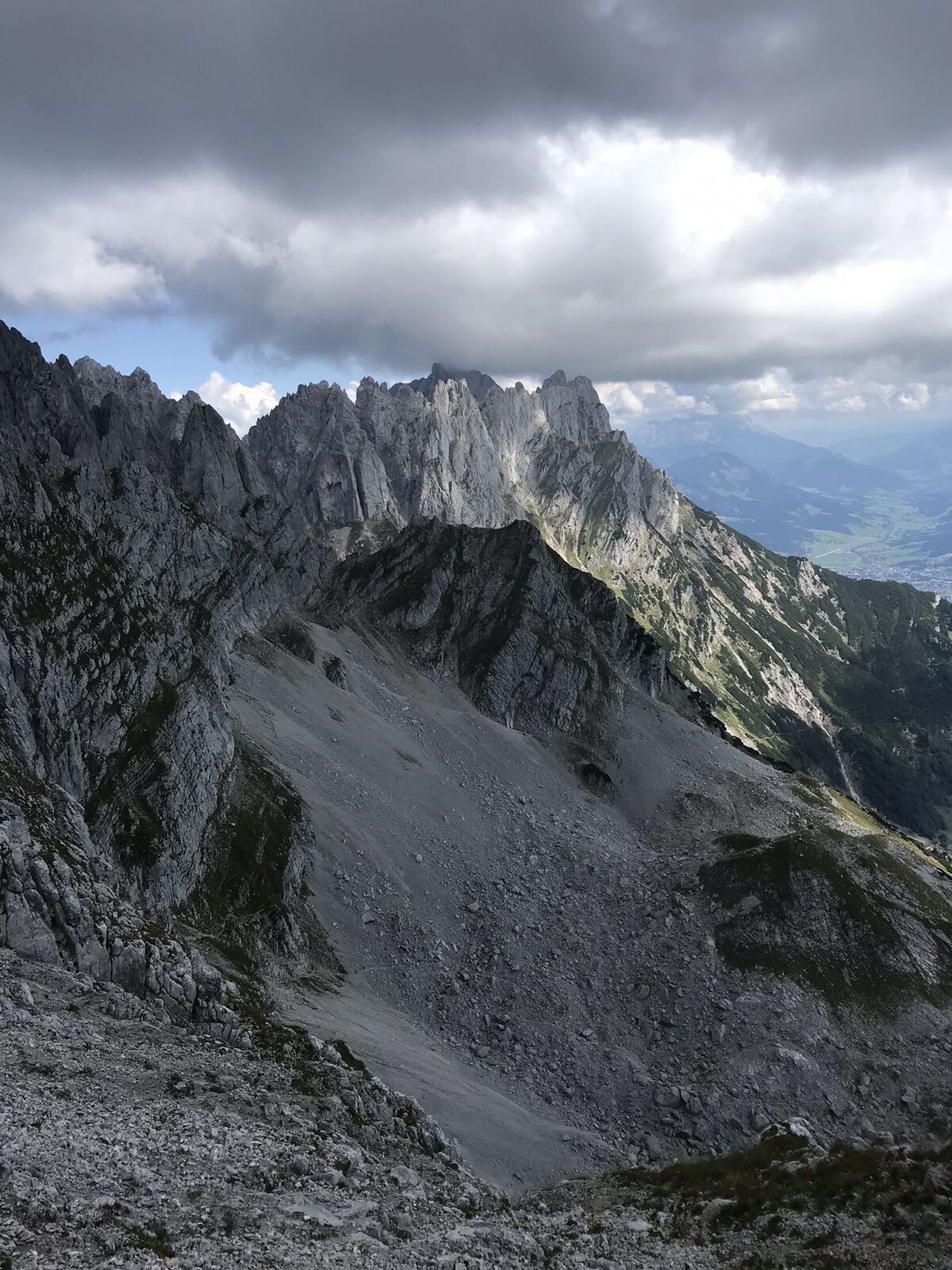
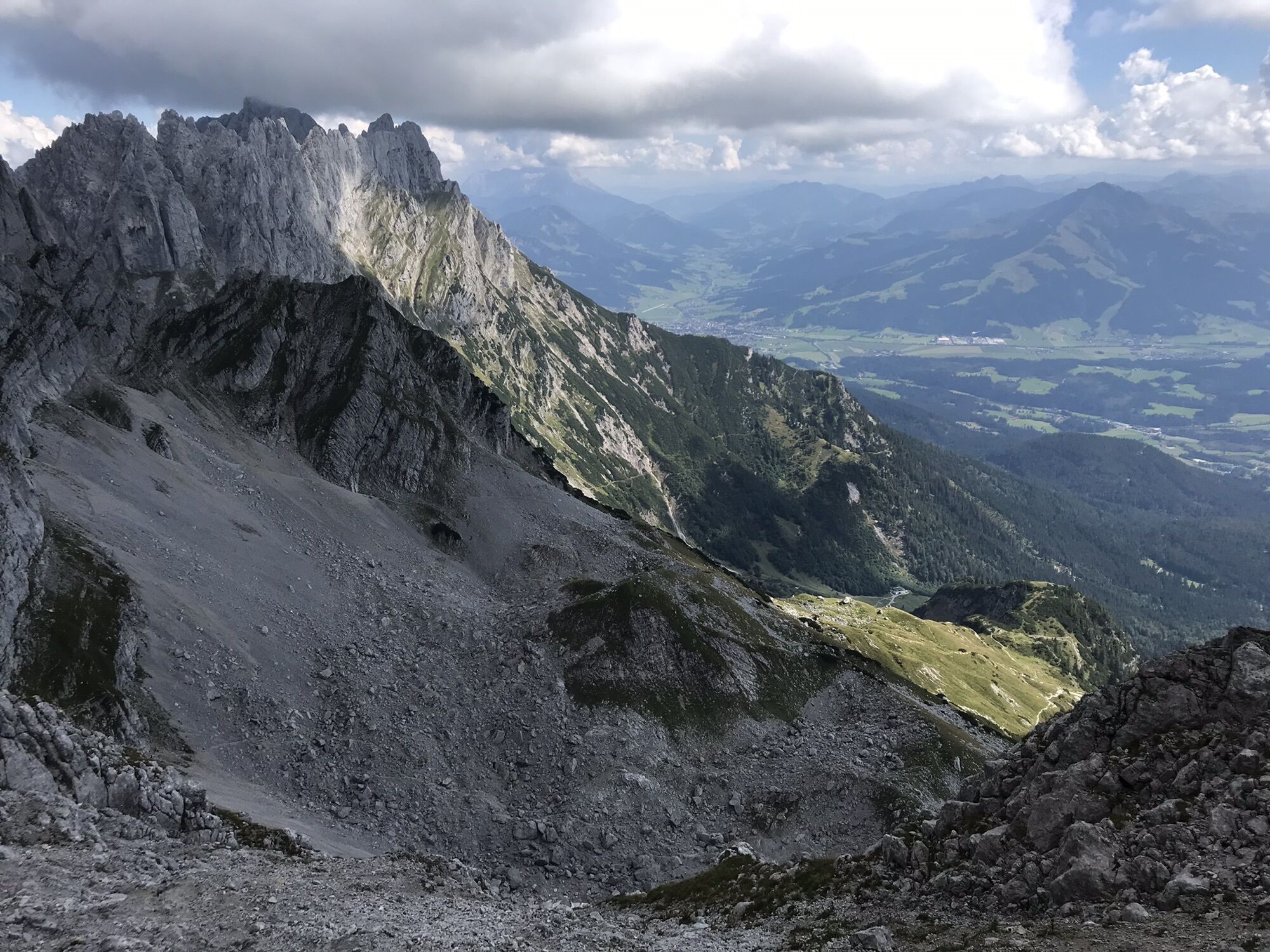
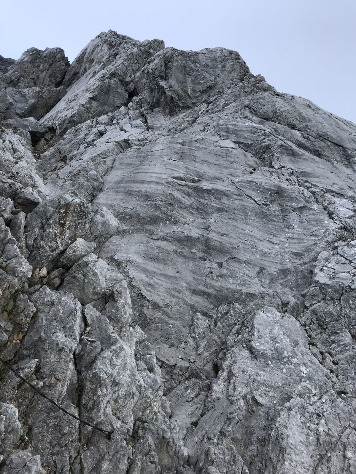
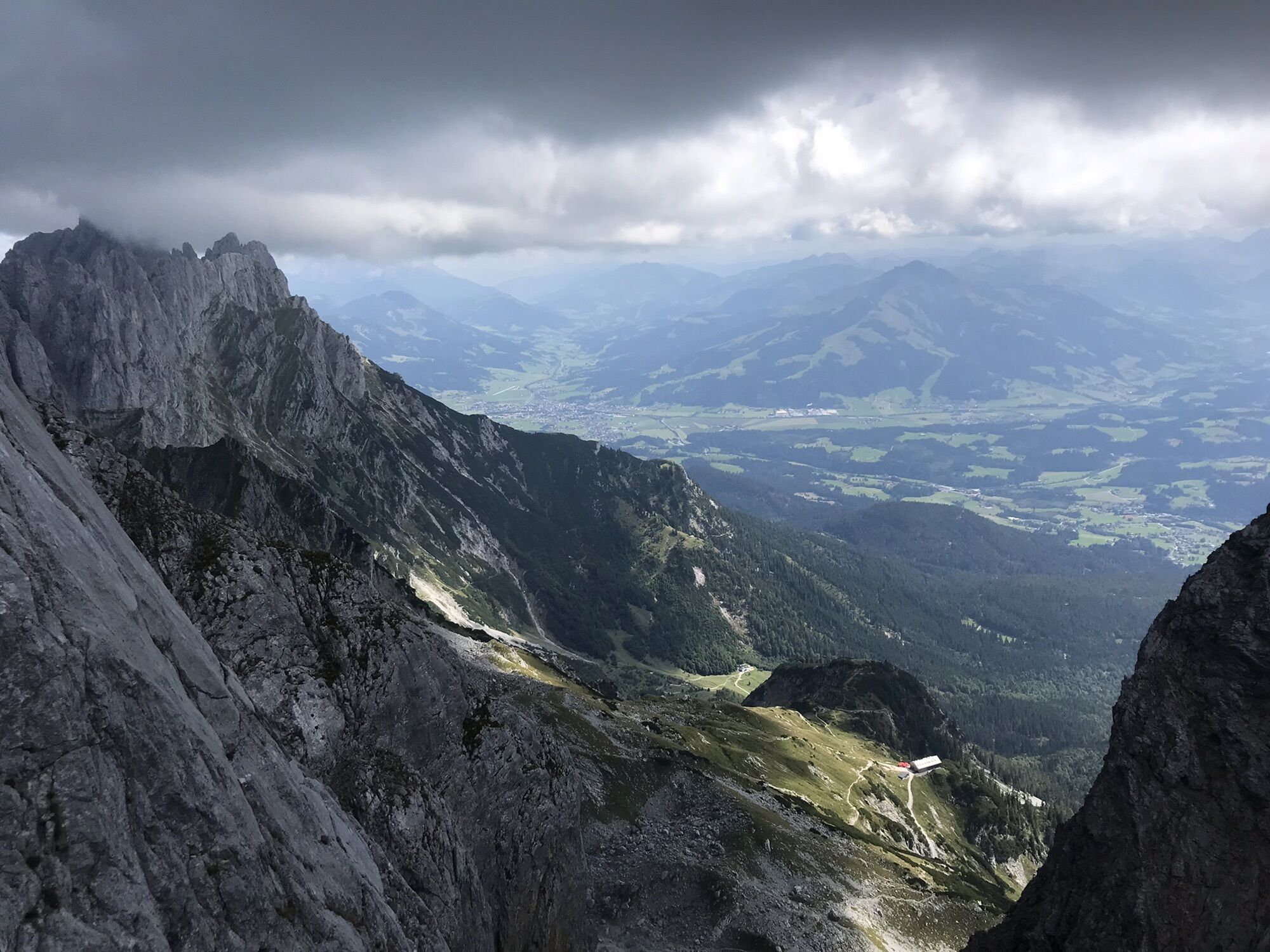
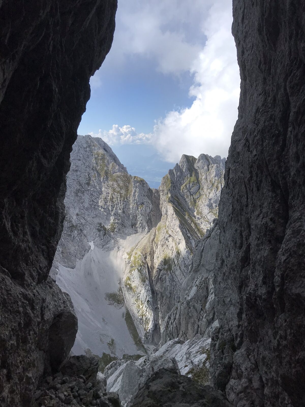
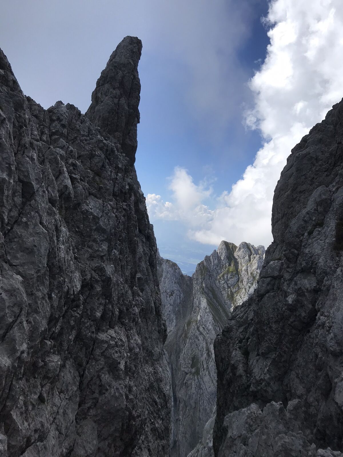
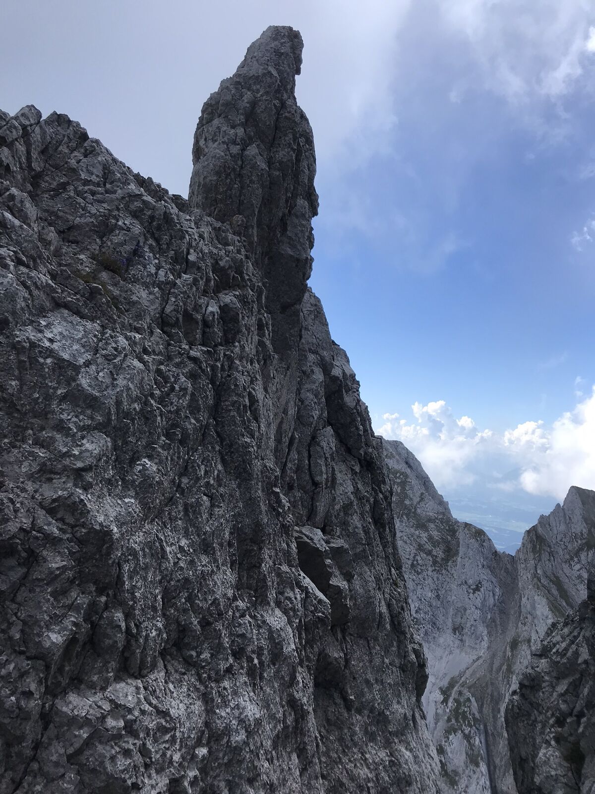
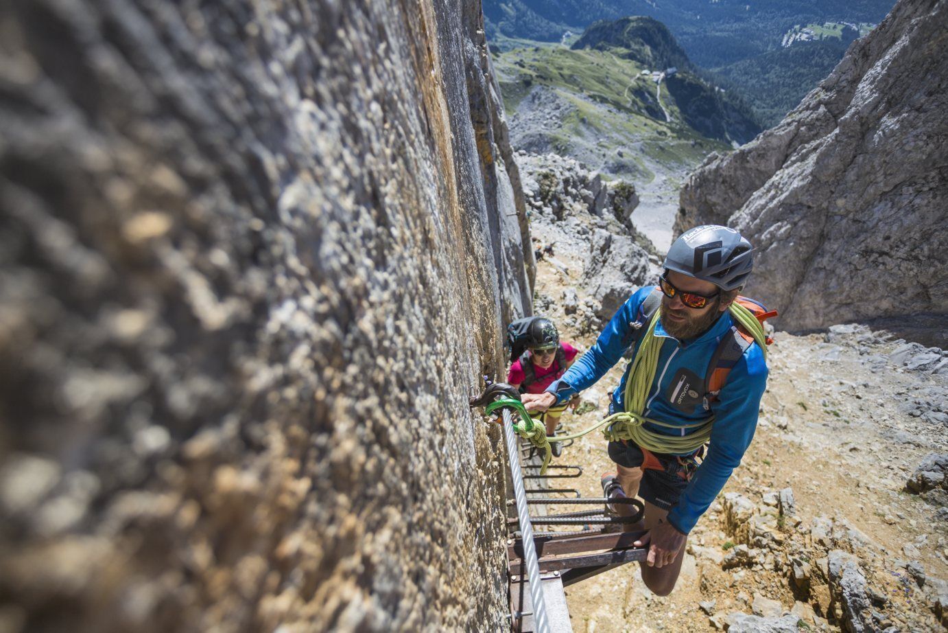
The normal route to the highest peak of the Kaisergebirge begins at the starting point of the hike at the Wochenbrunner Alm. Here you first follow trail 825 to the Gruttenhütte. After a short break, you will ascend to the large gravel cirque "Hochgrubach". On the following ascent via the Gamsängersteig there is great danger from falling rocks due to mountaineers ahead. In the first section of the climb, you will cross steep, rocky and grass-interspersed, fragile terrain (scree terrain - only partially secured with steel ropes) until you reach the Jägerwand steps with over 70 treads a little below the Rote Rinnscharte passage. Afterwards, the trail leads over several rope-secured passages to a parting of the ways. Here there are two options, once left through a narrow gorge and over a short vertical ladder or over to the right very exposed along steel cables to a rock terrace. From here you climb over more rock steps and past the Babenstuberhütte (Notbiwak) to the summit. Enjoy the fantastic 360° panorama from the highest point in the Kaisergebirge.
(Ascent from the Gruttenhütte mountain hut to the summit in about 2.5 hours).
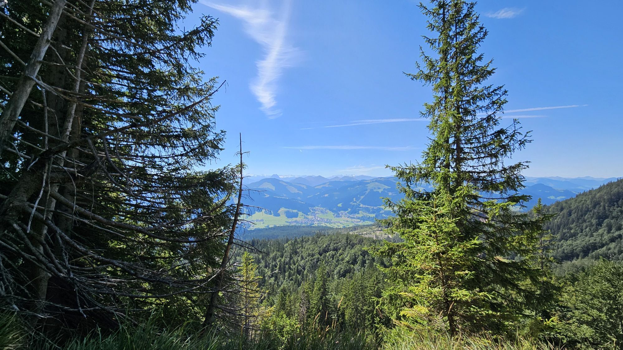
Attention - snowfields can often be expected until well into the summer!
Descent:
as ascent
Prerequisite: No fear of heights and surefootedness as well as alpine experience and good physical condition are absolutely necessary! HELM (danger of falling rocks)
Recommendation: climbing harness & via ferrata set
TIP:
Fridays - guided tour with a state-certified mountain guide.
Inform yourself about Details, dates and registration.
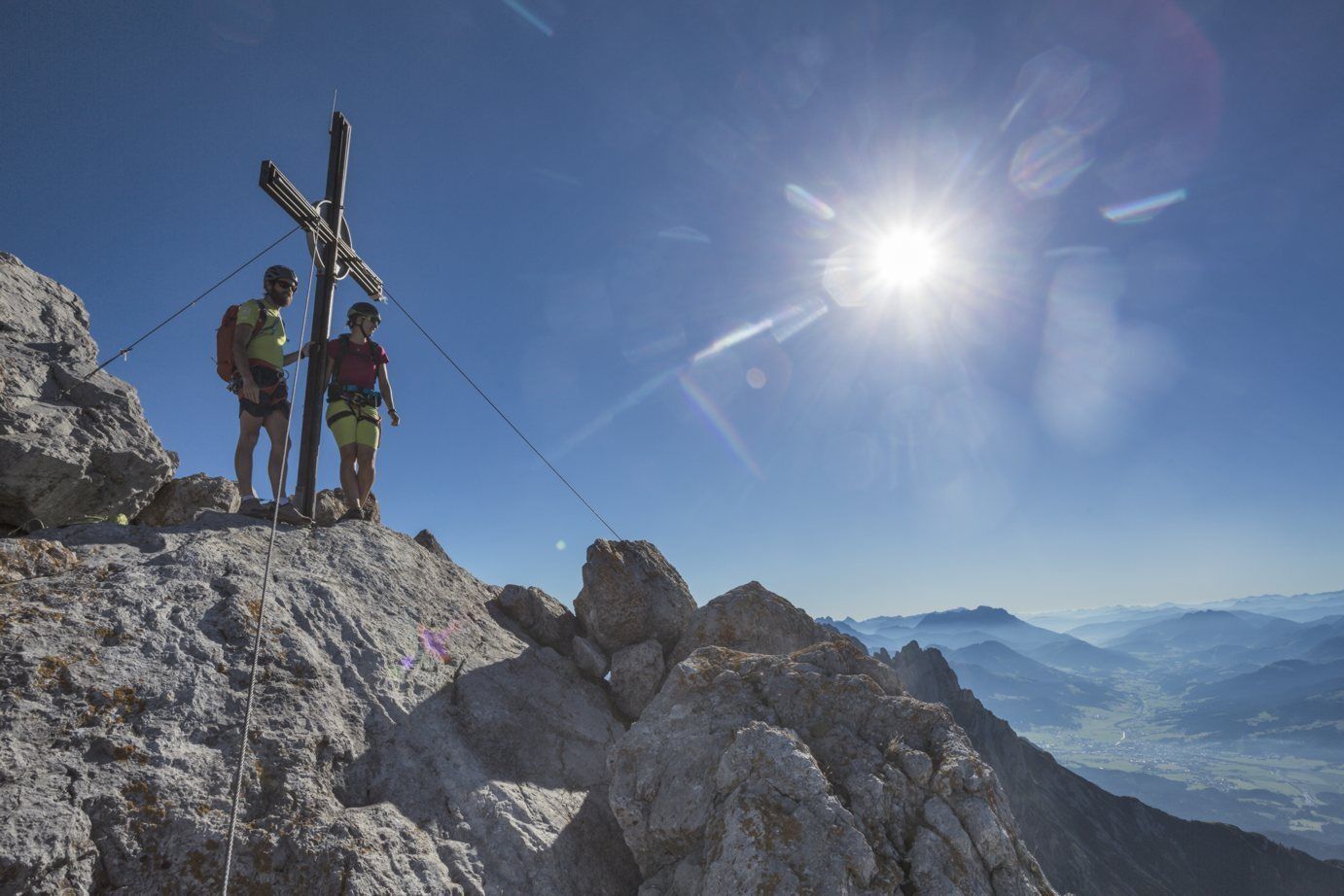
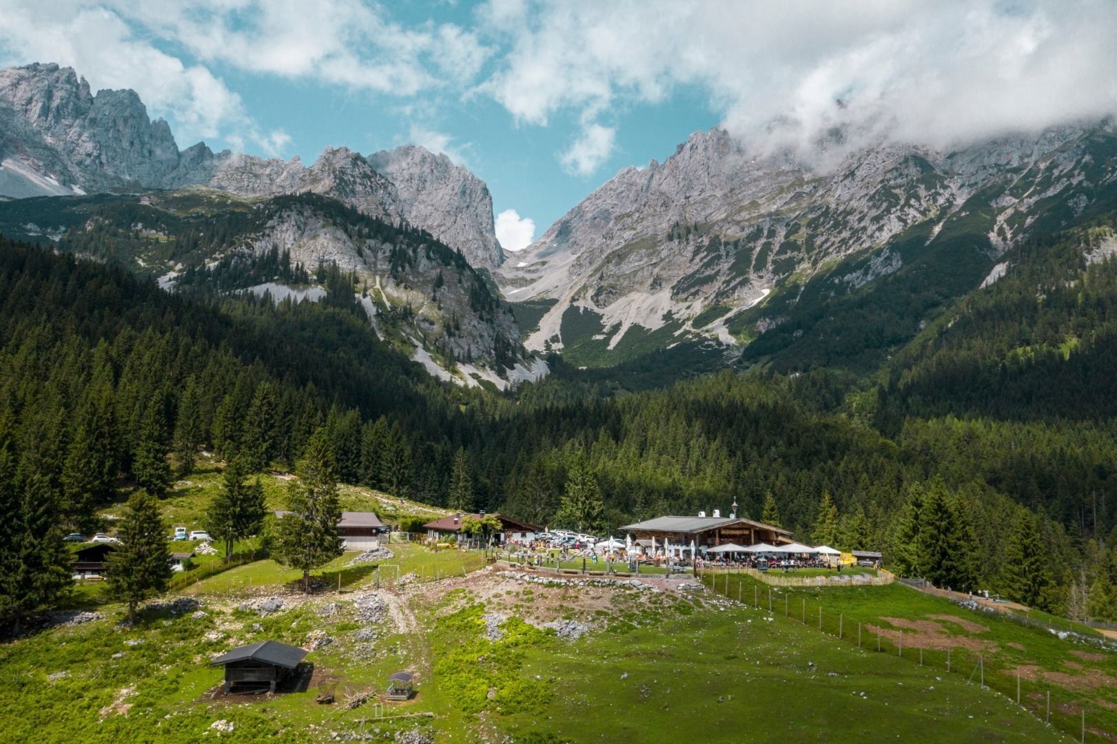
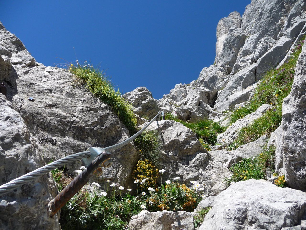
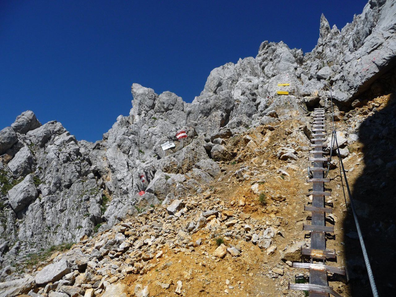
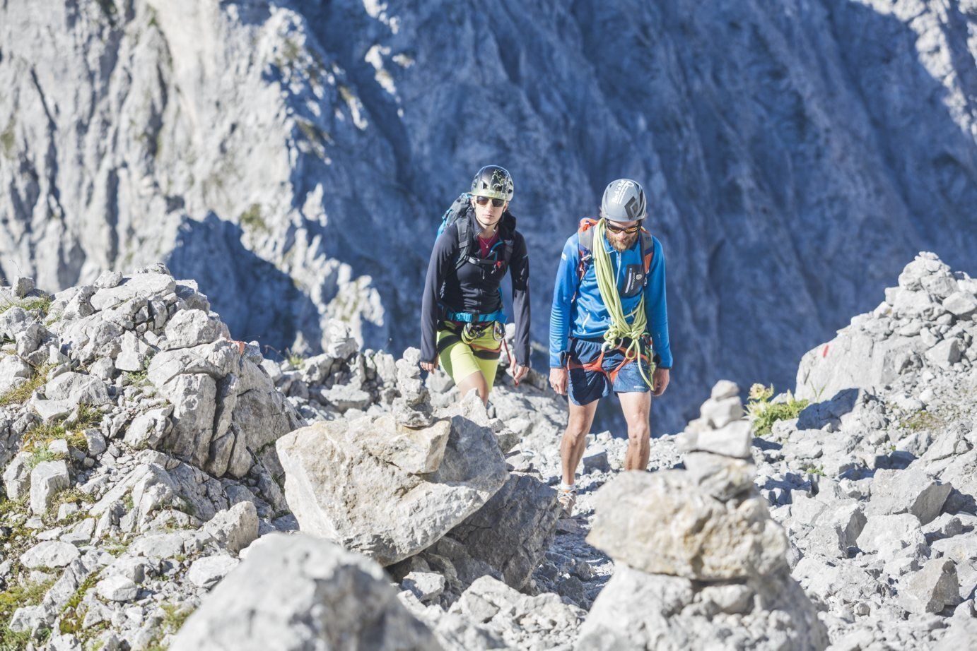
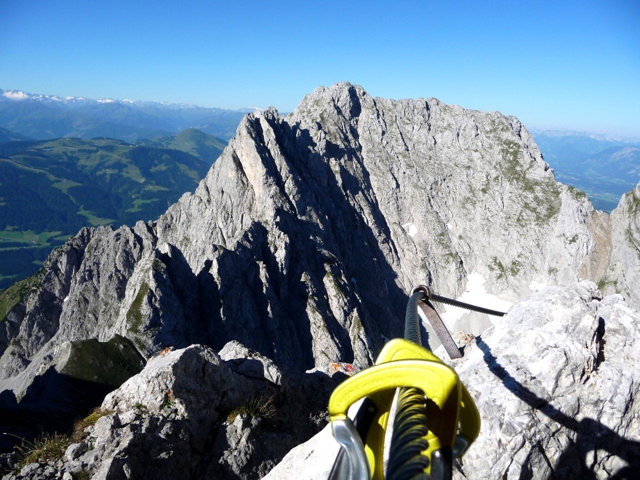
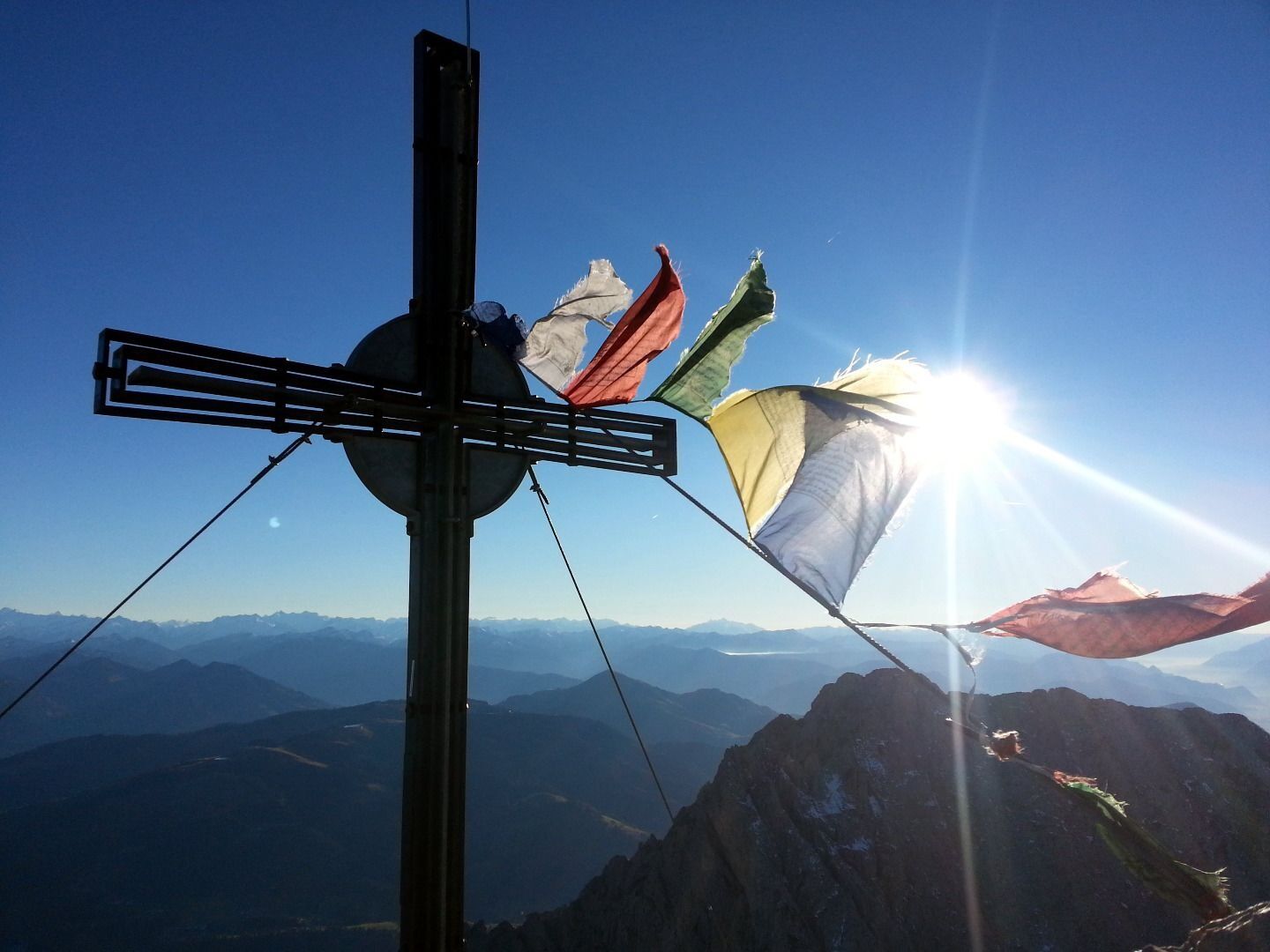
The normal route up to the highest summit of the Kaisergebirge mountain range departs from the hiking starting point at the Wochenbrunner Alm. You should start by following the signposts to the Gruttenhütte mountain hut (walking time around 1.75 hours). After a short break, you will then make the ascent into the large “Hochgrubach” gravel cirque. On the subsequent ascent via the Gamsängsteig trail, there is a significant risk of rock falls caused by mountain climbers who are further up. In the first section of the path, you should cross the series of ledges known as the “Gamsänger”. This will lead you past the rock faces of the Kopftörlgrat until you reach the Jägerwandtreppe, which features more than 70 stirrups and is located slightly above the Rote-Rinn-Scharte passage. An easy climb leads you to a gully that sometimes contains snow until way into the summer. An emergency bivouac, the Babenstuber Hütte, is located a short distance below the summit. Enjoy the fantastic view from the highest summit in the Wilder Kaiser massif.
Overall, the route is well marked and is sufficiently secured. (Ascent from the Gruttenhütte mountain hut to summit in around 2.5 hours.)
Descent:
as ascent
Variant:
head from the Gruttenhütte mountain hut via the Klammlweg trail down to the Gaudeamushütte mountain hut (1,263 m) and return to the Wochenbrunner Alm.
Wilder Kaiser hiking map (1: 25.000) available at the Tourist information offices Ellmau, Going, Scheffau and Söll.
Helmet - additions if required climbing harness and via ferrata set
Heading from St. Johann on the B178 road, take the first exit to Ellmau and then drive straight on until you reach the junction (green signs – leading towards KaiserBad/Kaisergebirge/Wochenbrunn). Turn right here, then turn right again immediately after passing the bus stop. Follow the (toll) road until you reach the Wochenbrunner Alm car park.
More information at: www.wilderkaiser.info
Wochenbrunner Alm mountain hut, Ellmau (1,085 m) – free car park (toll road)


Beliebte Touren in der Nähe
- 4,7
Kirchdorf: Zur geheimnisvollen Teufelsgasse
mittelWanderung 7,90 km - 4,2
Erpfendorf: Griesbachklamm
mittelWanderung 10 km - 4,9
Streif Wanderweg
mittelWanderung 5,73 km - 4,7
Musikantensteig zur Naunspitze
mittelWanderung 8,96 km - 4,6
St. Johann in Tirol: Wasserfall & 3 Seen am Kitzbüheler Horn
mittelWanderung 12,7 km - 4,5
Über Hintersteinersee und Walleralm aufs Hochegg
leichtWanderung 12,2 km - 4,5
Wanderung um den Hintersteinersee
leichtWanderung 5,29 km - 4,6
Hintersteinersee
mittelWanderung 9,87 km - 5,0
Stripsenjoch Klettersteige/ Rundwanderung von Griesener Alm über Stripsenjochhaus und Feldberg
mittelKlettersteig 10,2 km - 4,2
Bergdoktor Wohnhaus "Gruberhof" (Köpfing Hof) Rundeweg-Söll
leichtWanderung 8,70 km

Wandern & Tracking


Verpasse keine Angebote und Inspirationen für deinen nächsten Urlaub
Deine E-Mail-Adresse wurde in den Verteiler eingetragen.