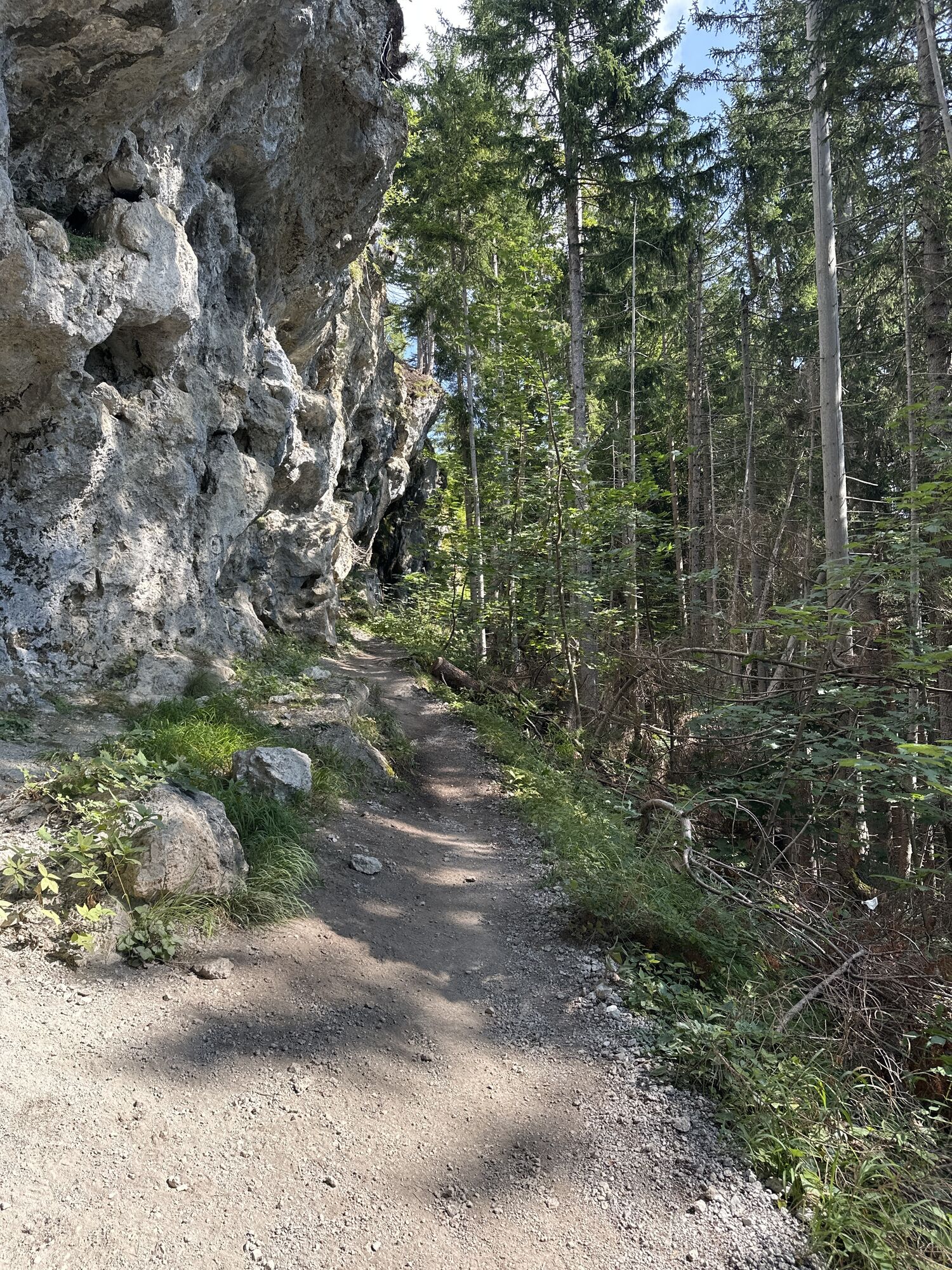
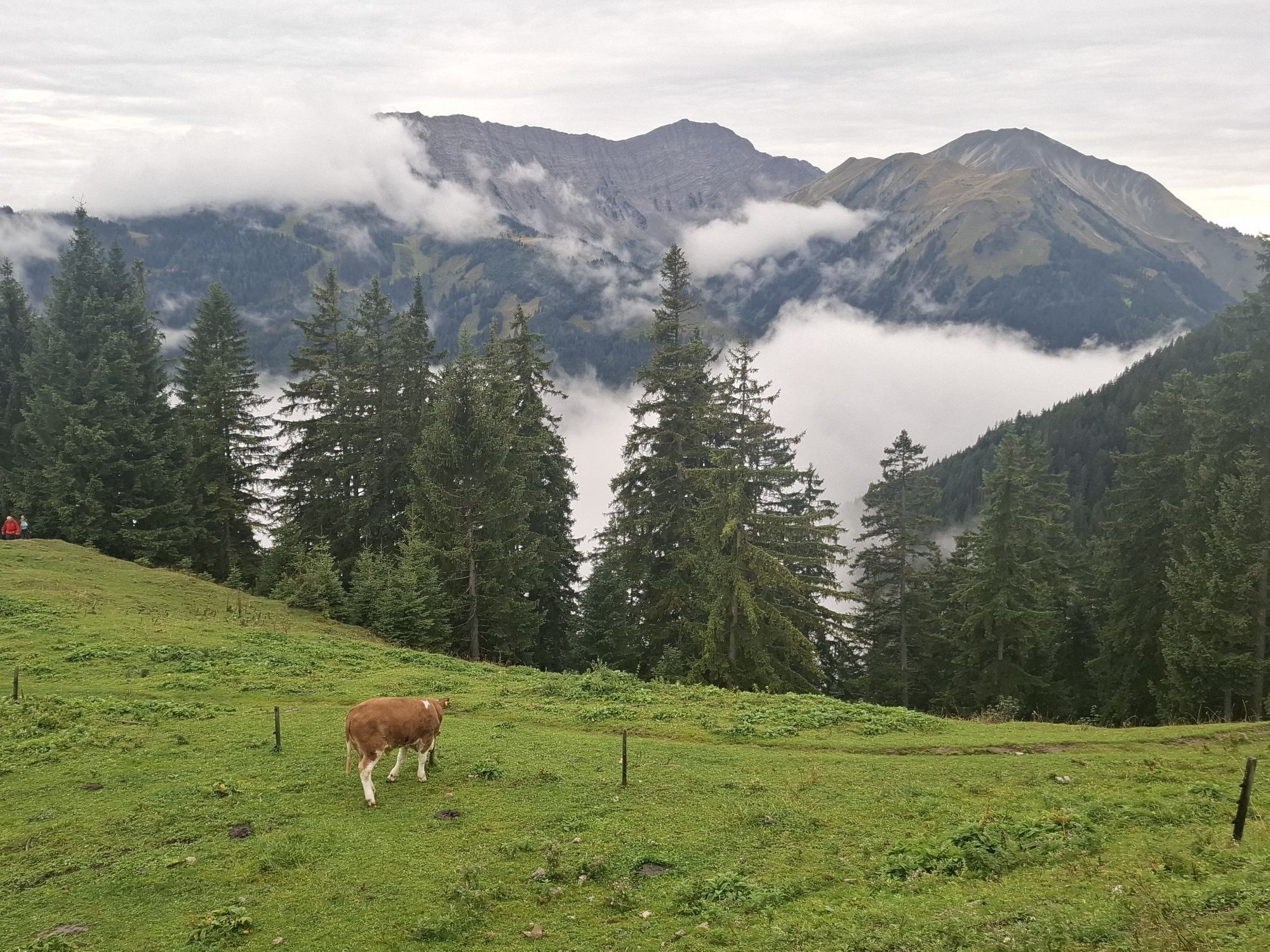
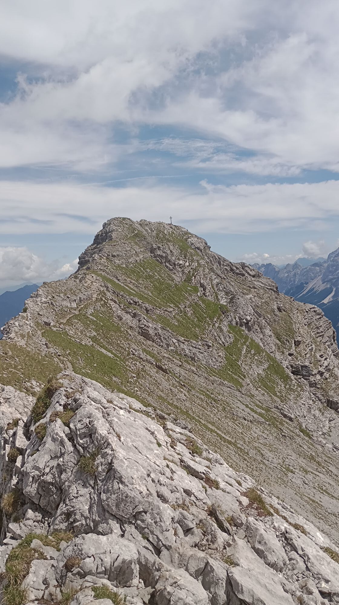
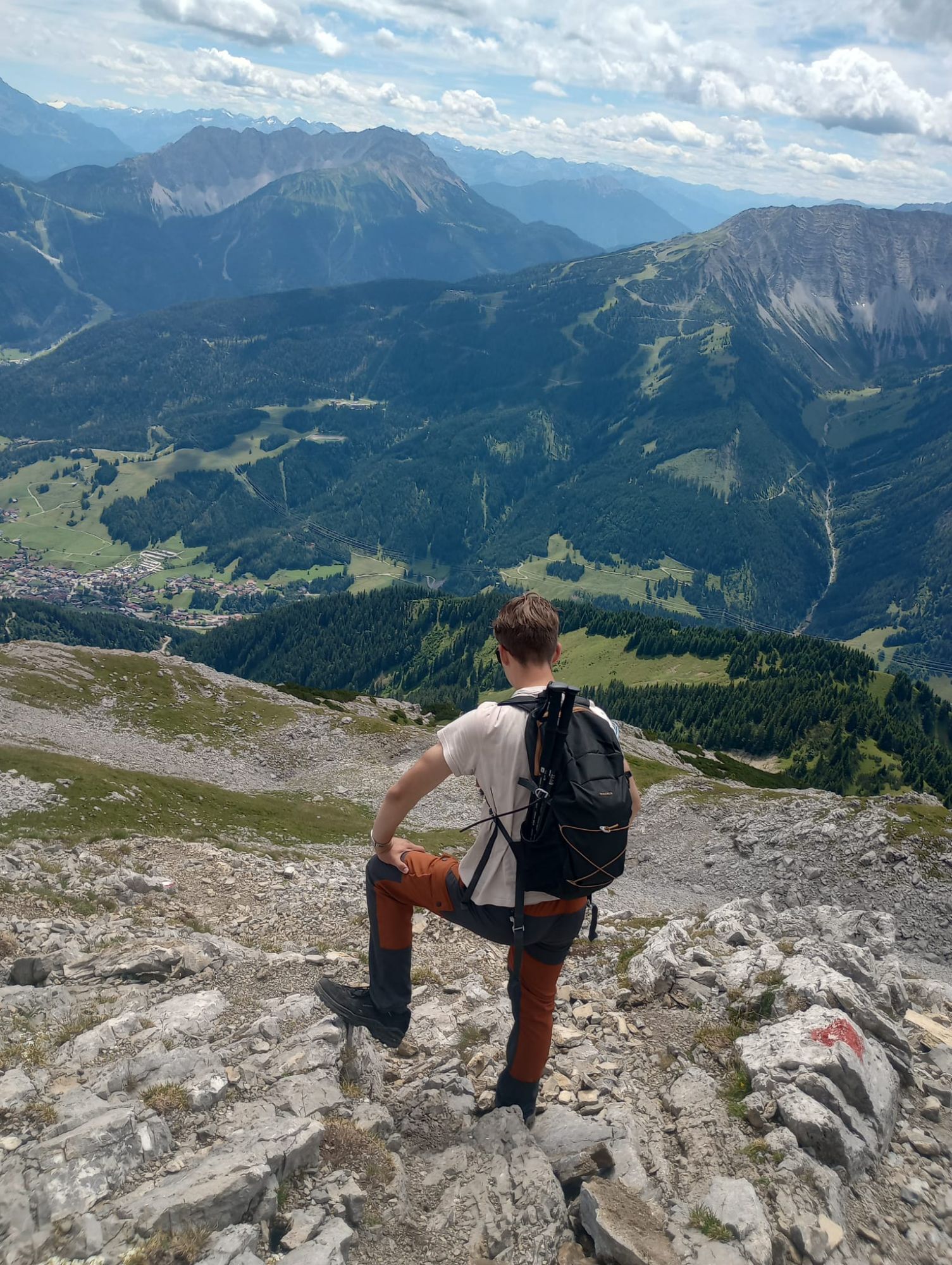
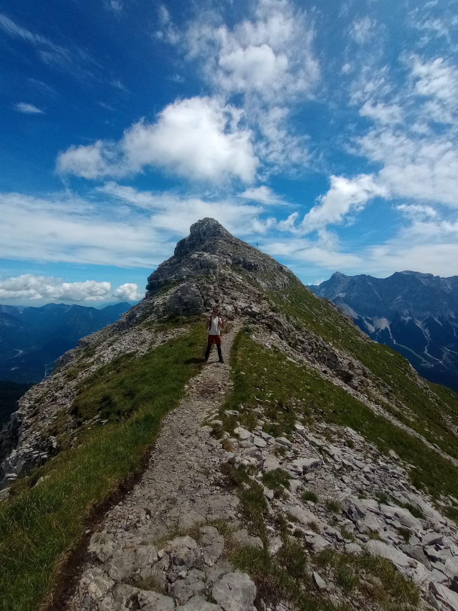
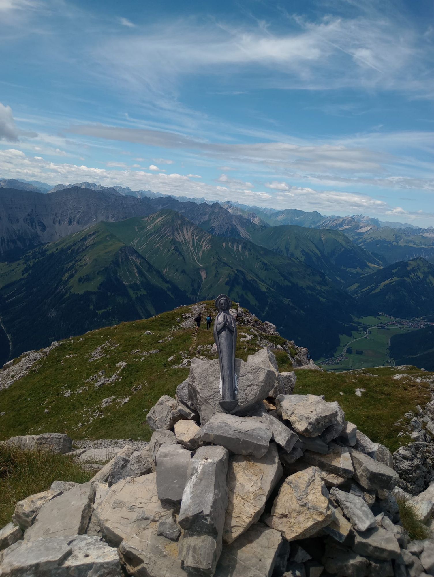
Daniel (2340M)
Bergwandern 5,0
Hol diese Tour auf dein Handy
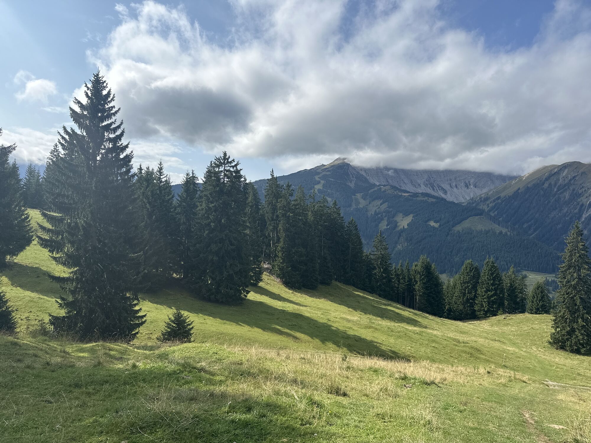
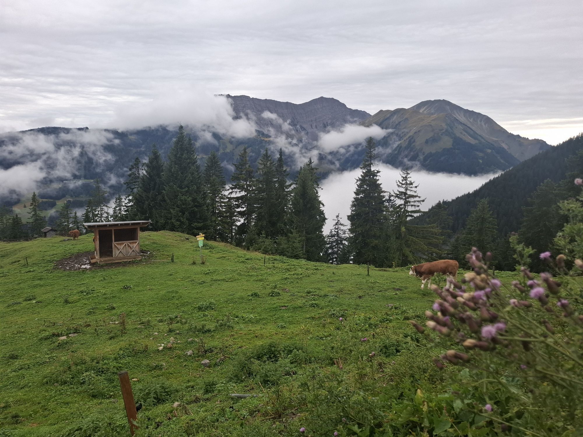
Daniel (2340M)
Bergwandern
11,52
km
QR-Code scannen und Navigation in der bergfex App beginnen

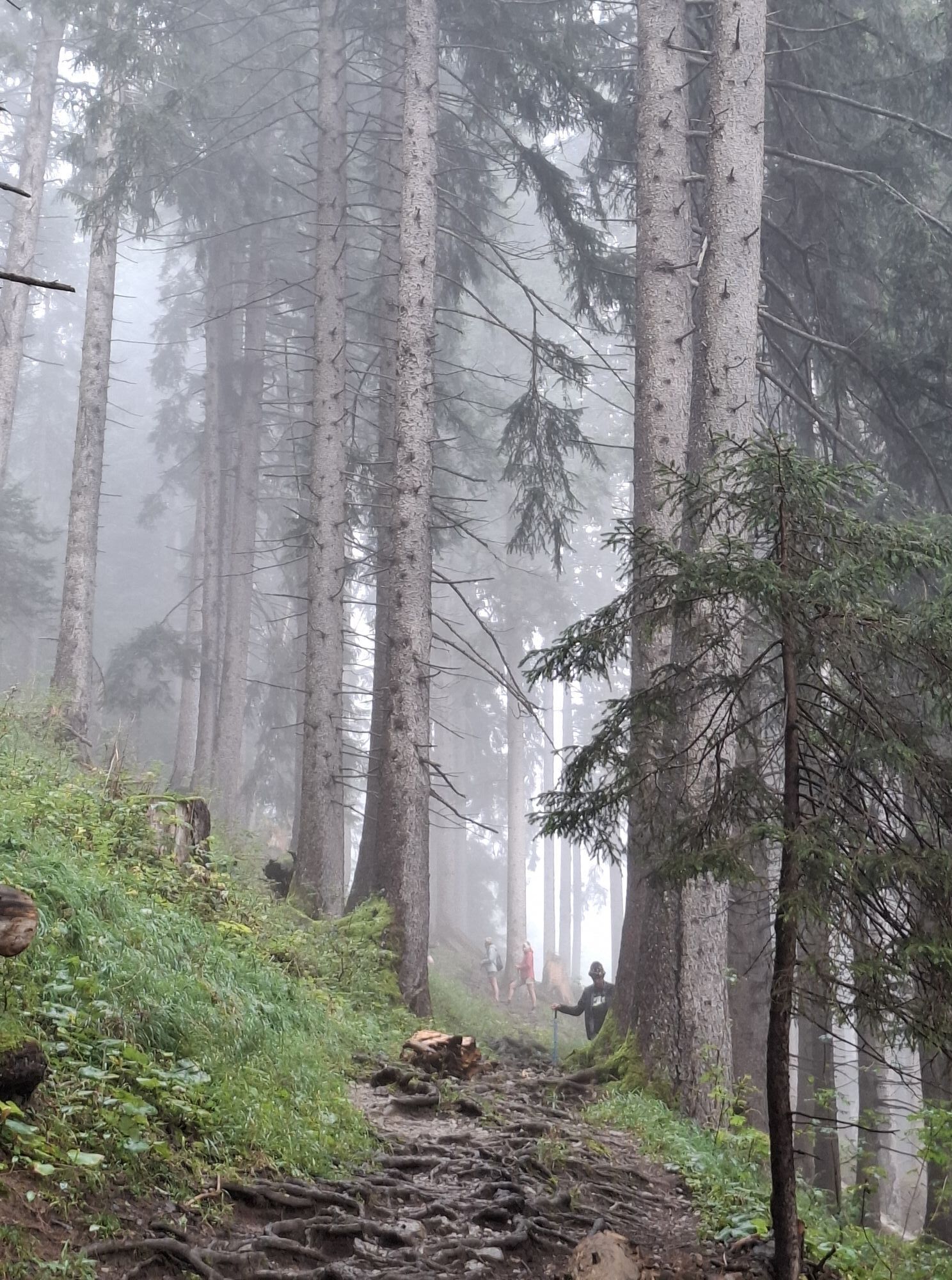
Wandern & Tracking


Daniel (2340M)
Bergwandern 5,0
Distanz
11,52
km
Dauer
05:30
h
Aufstieg
1.428
hm
Seehöhe
1.019 -
2.335
m
Track-Download
Daniel (2340M)
Bergwandern
11,52
km
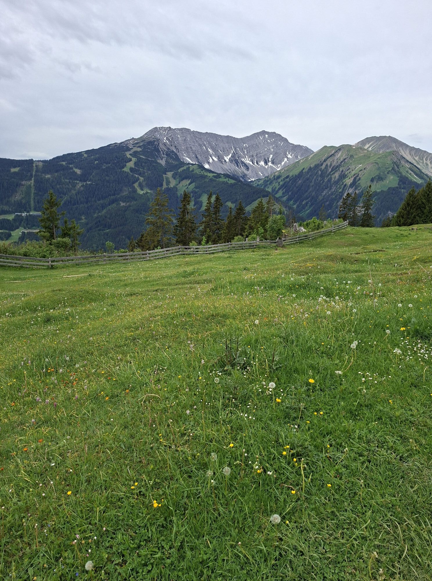
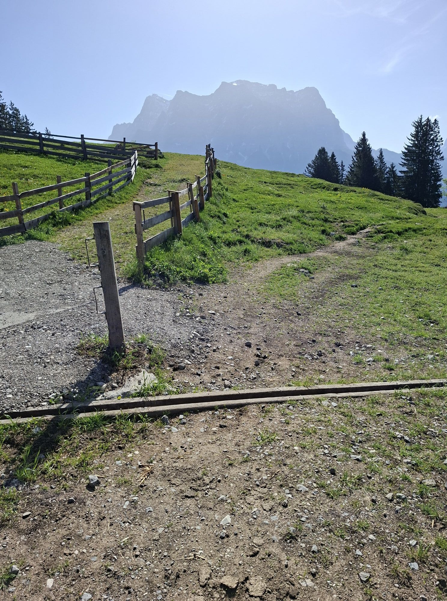
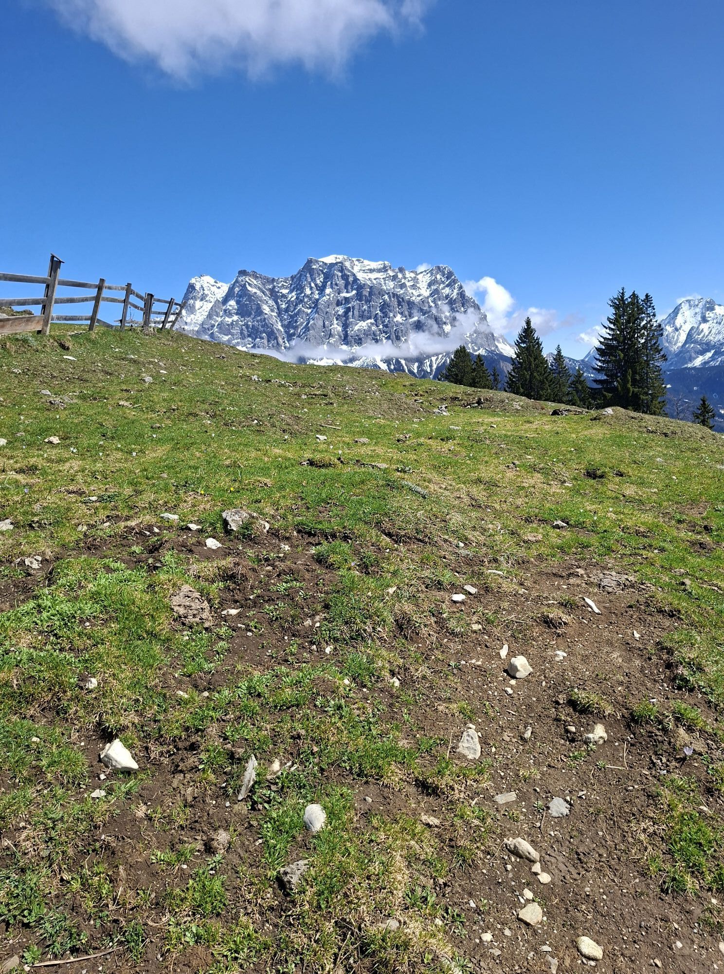
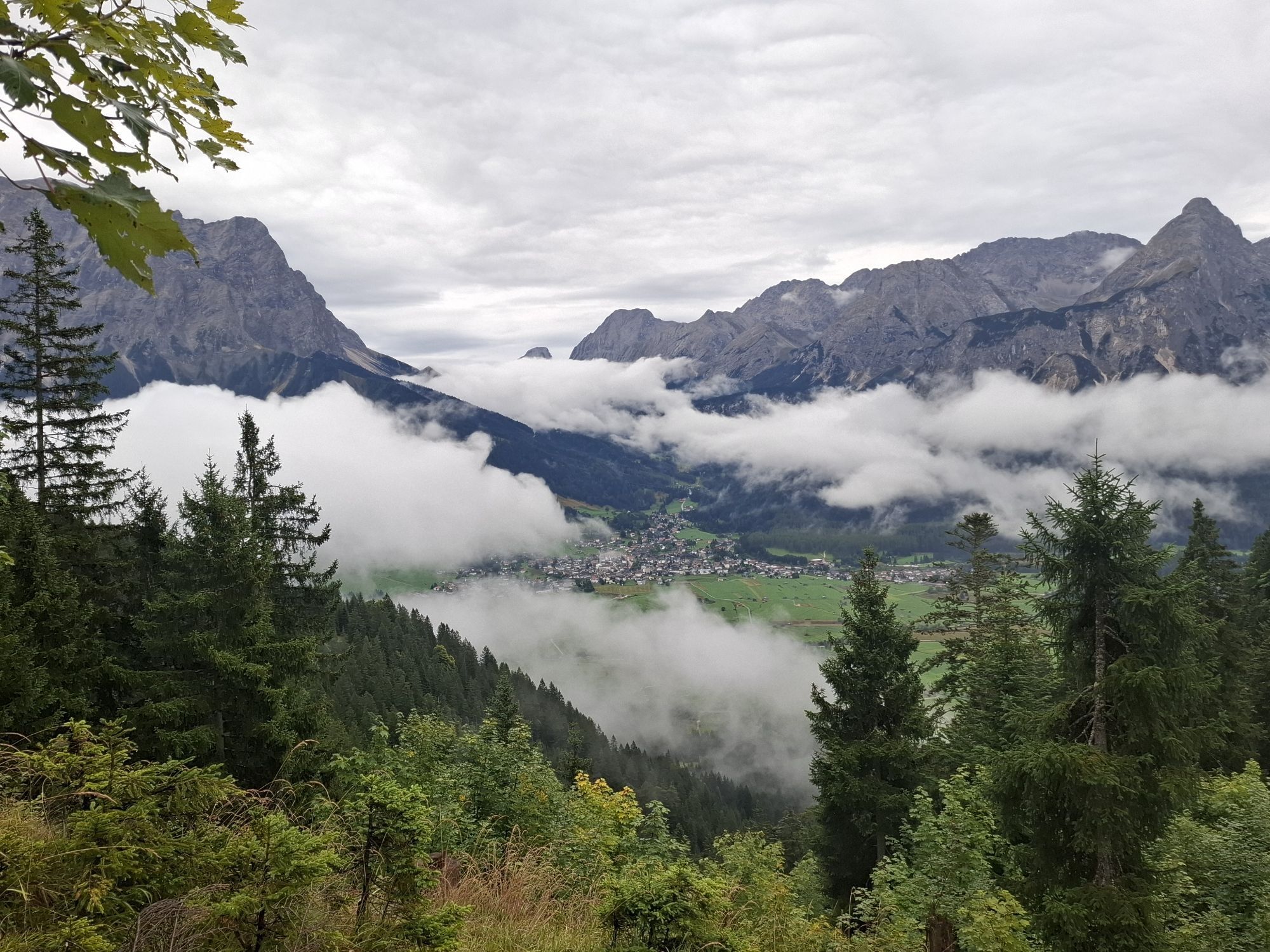
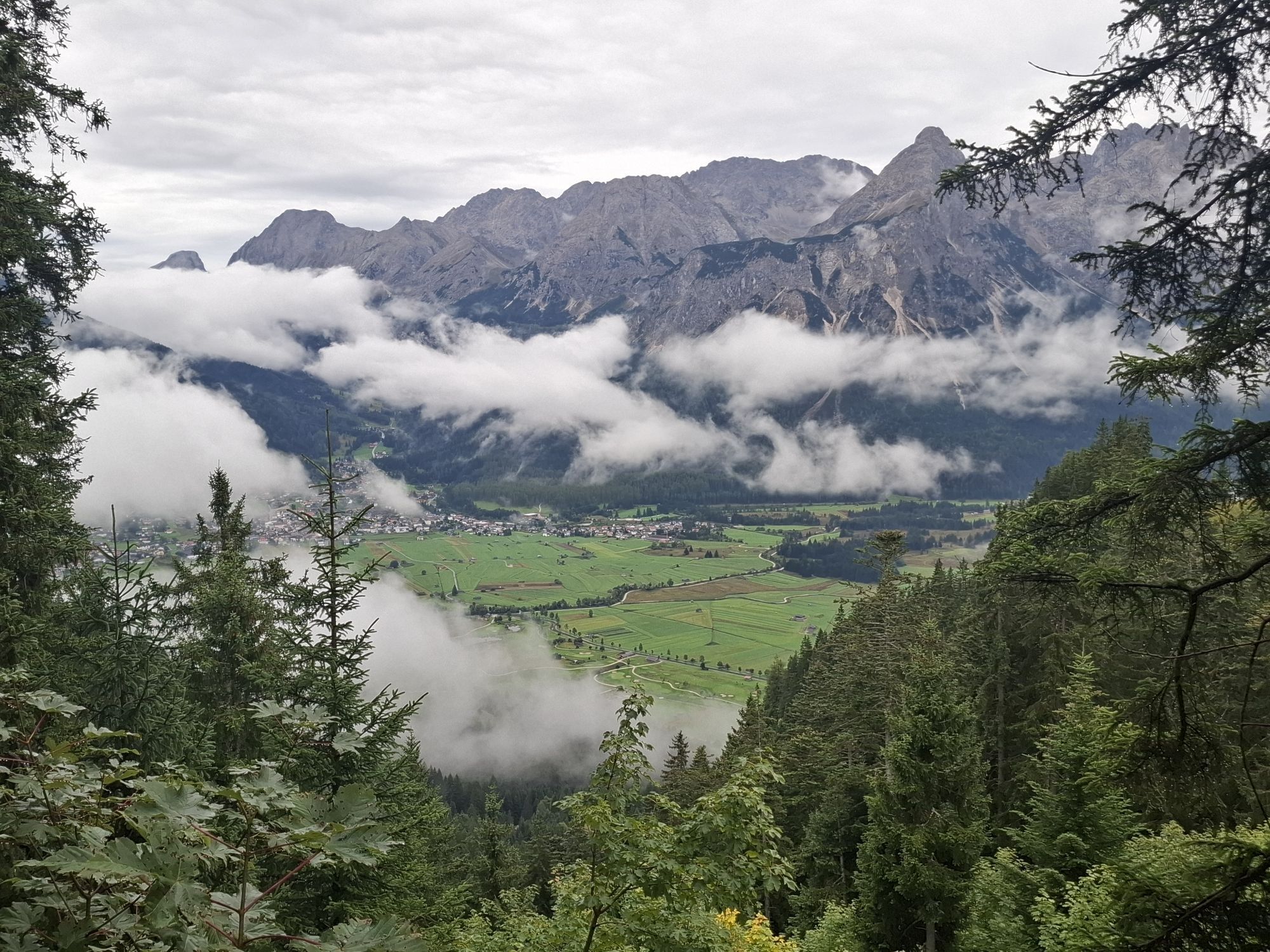
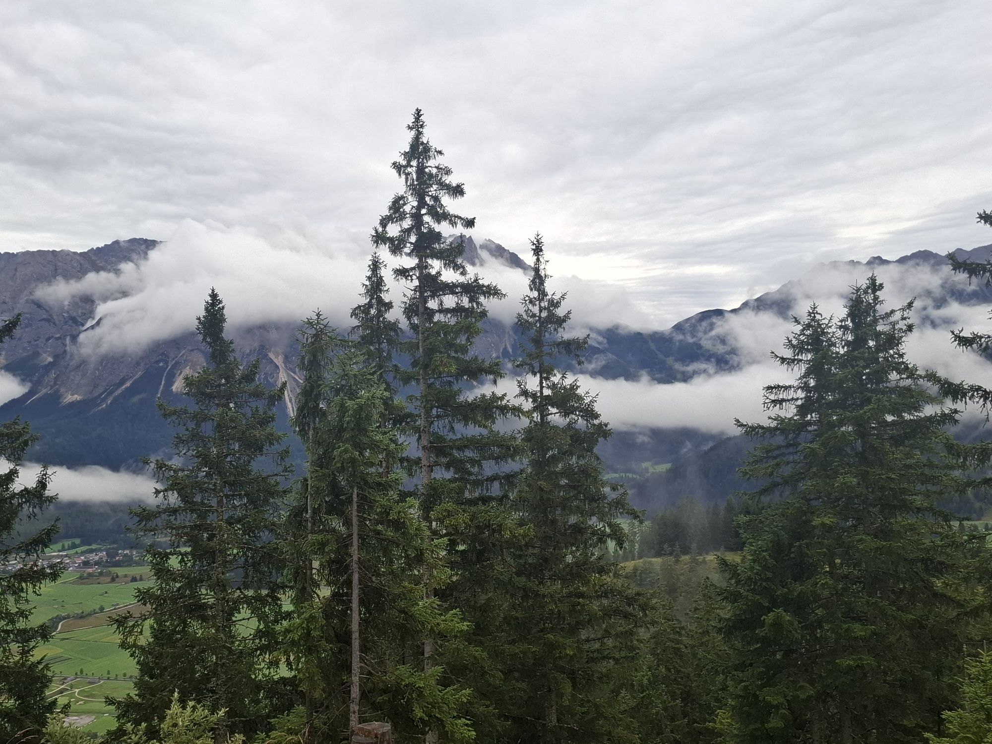
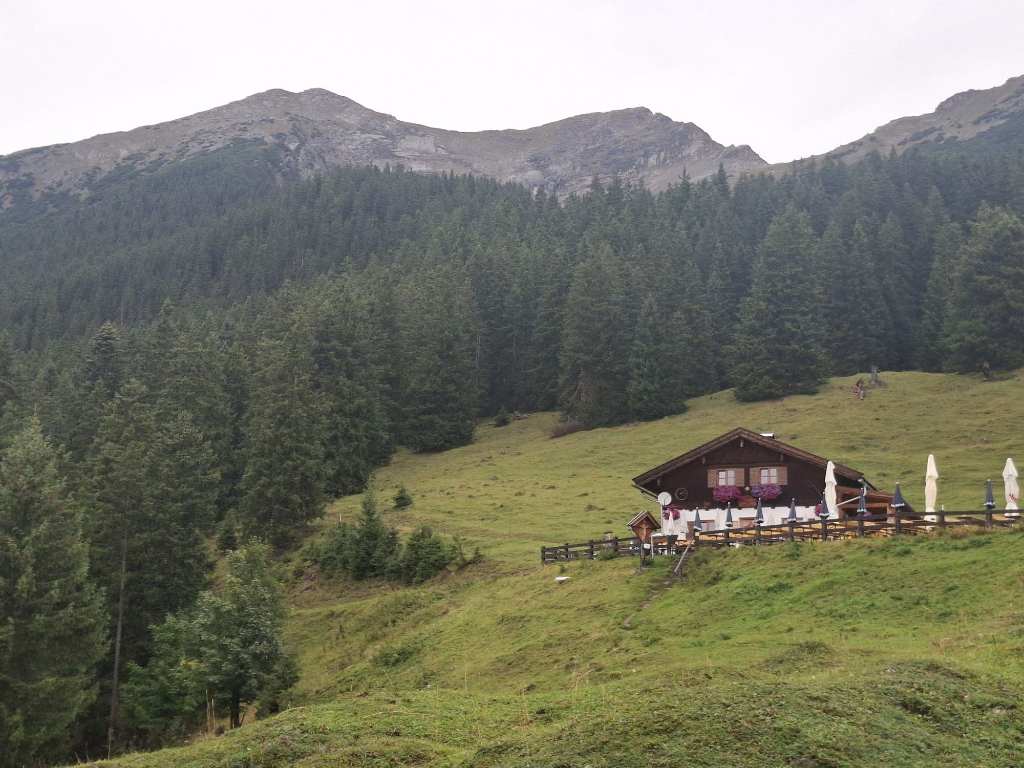
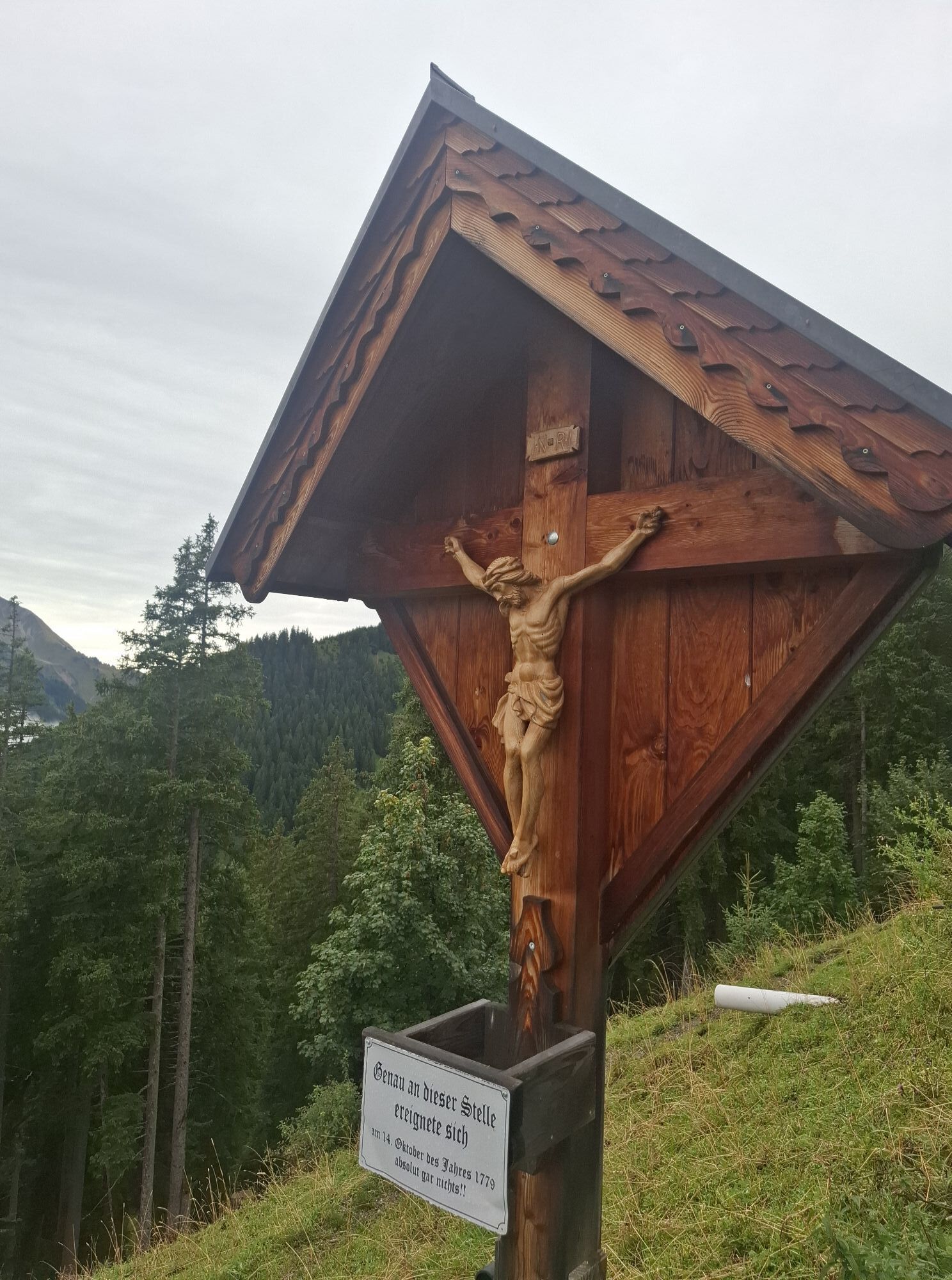
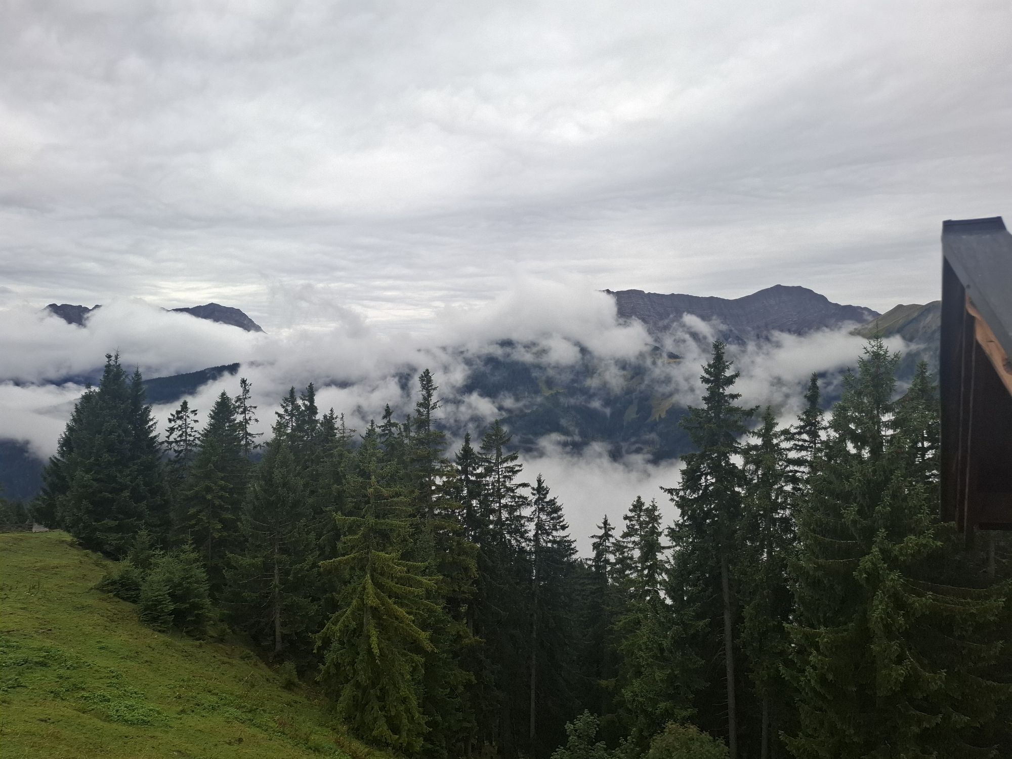
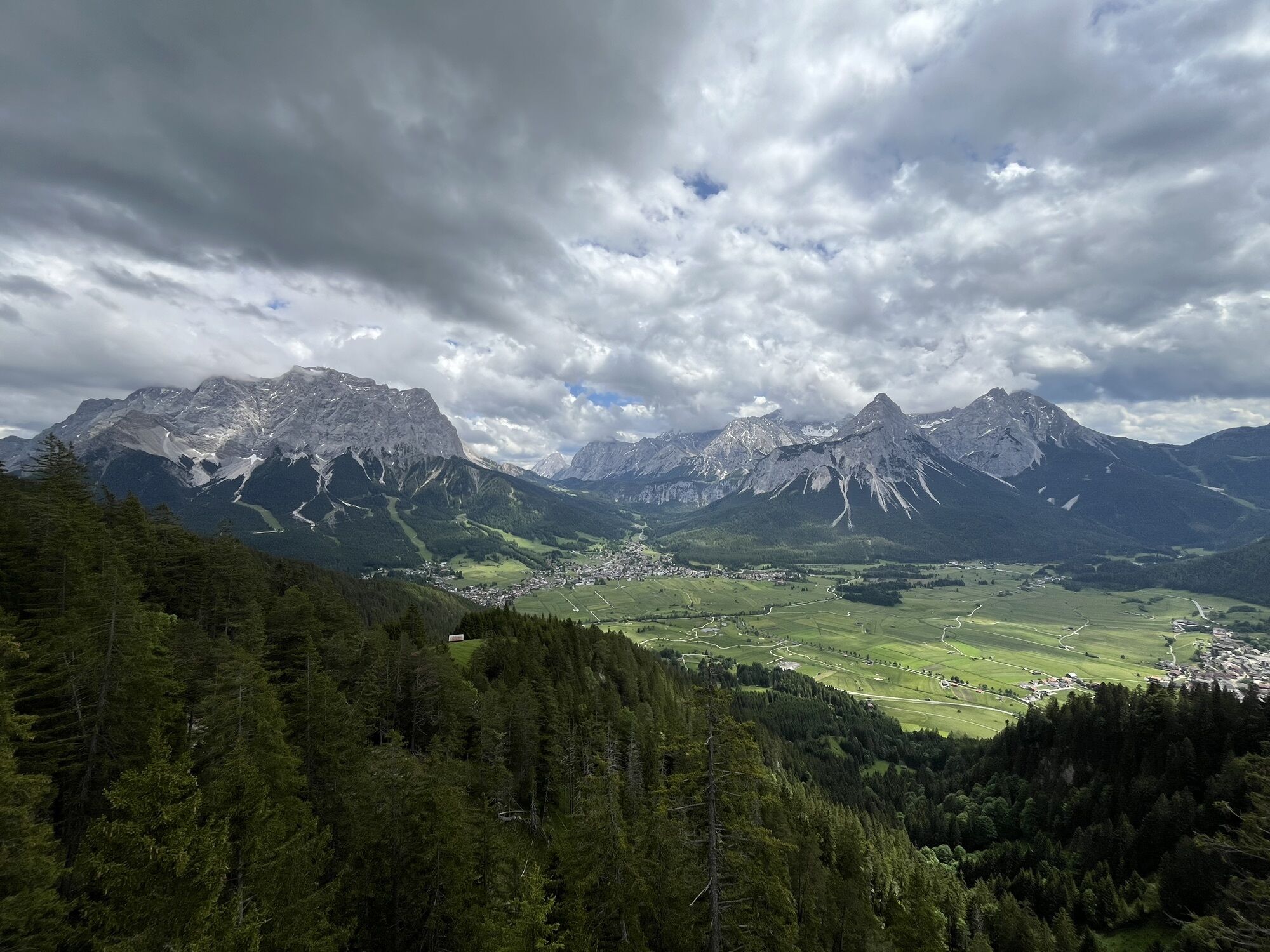
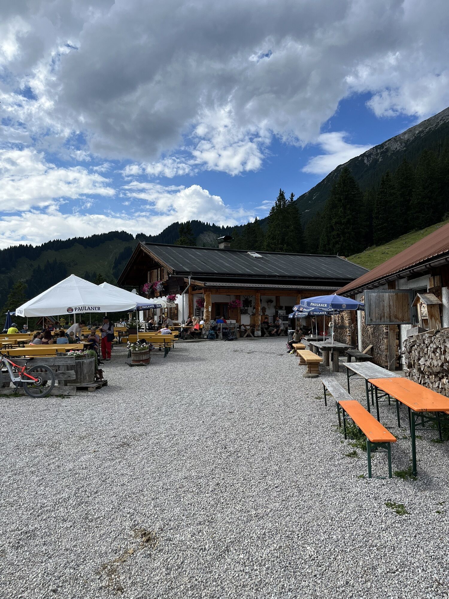

Wegverlauf
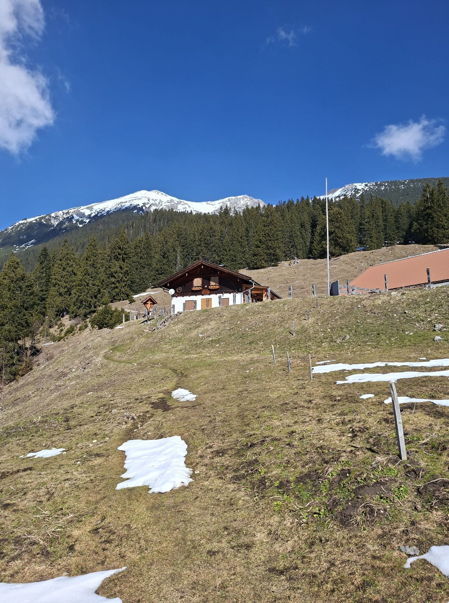
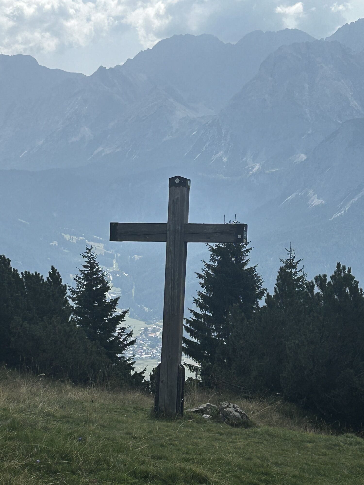
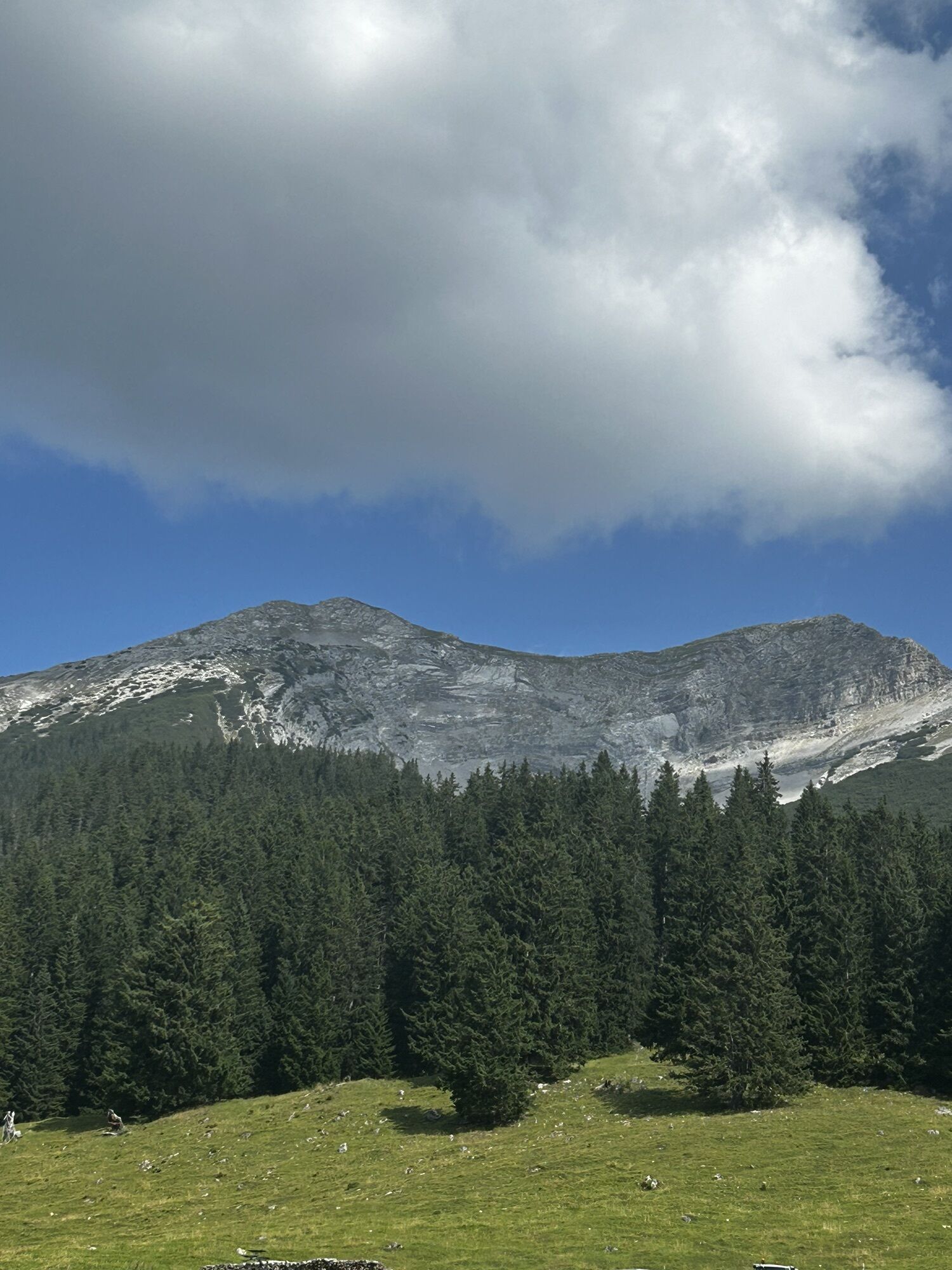
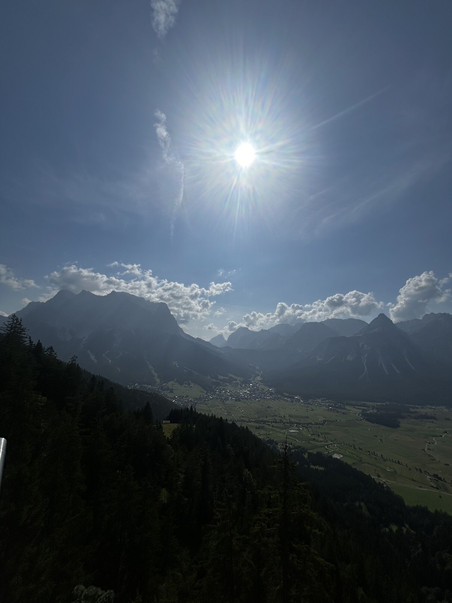
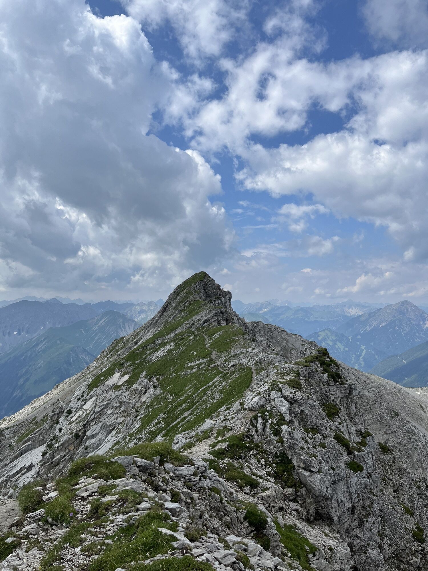
Tuftlalm
(1.495 m)
Schutzhütte
2,3 km
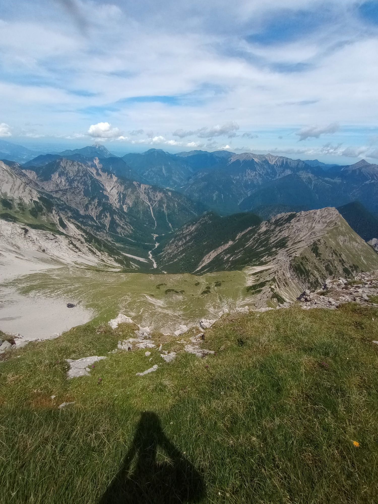
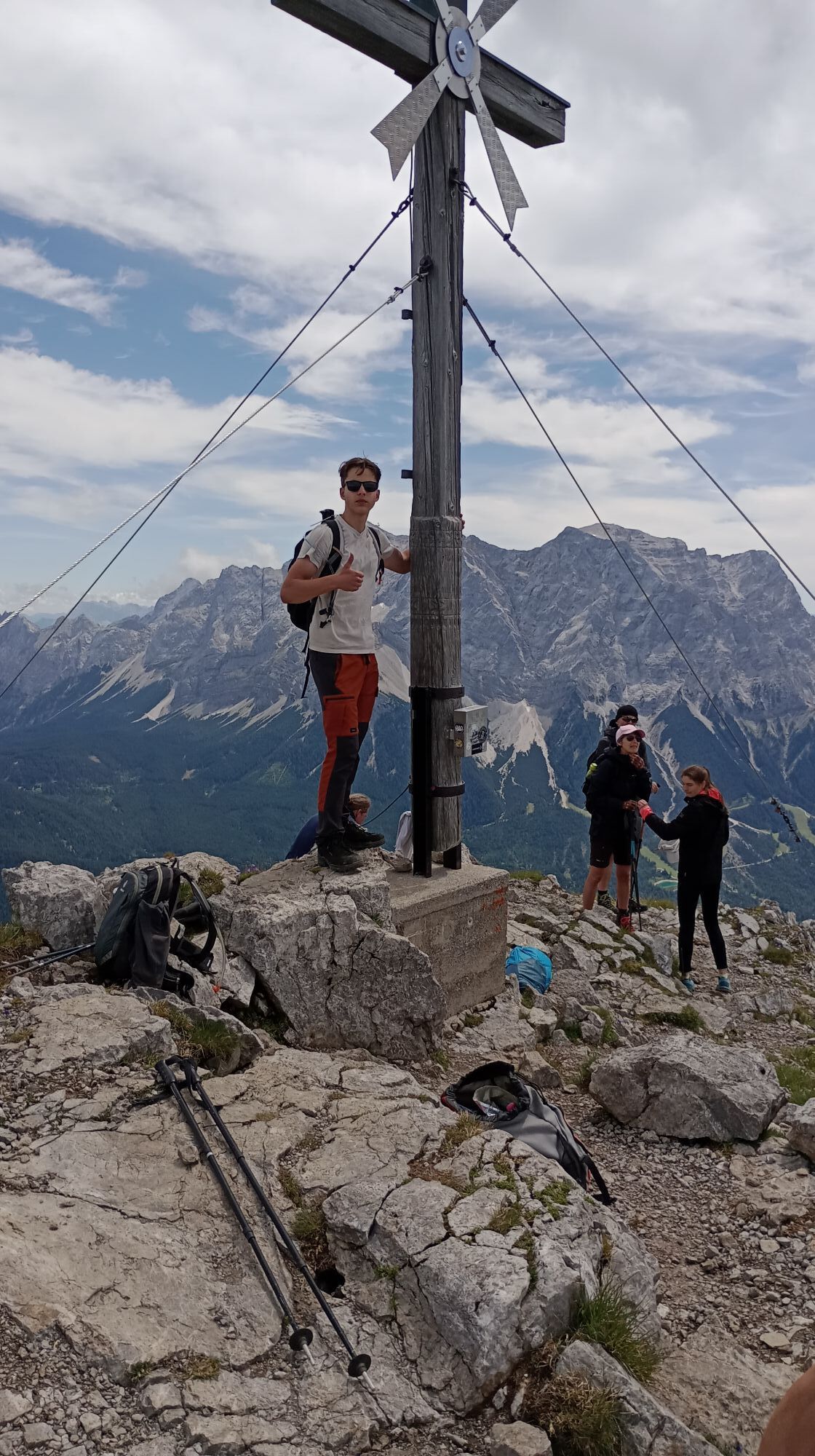
Daniel
(2.340 m)
Gipfel
5,3 km
Upsspitze
(2.332 m)
Gipfel
5,8 km
Grüner Ups
(1.852 m)
Gipfel
7,0 km
Tuftlalm
(1.495 m)
Schutzhütte
9,0 km
Wegverlauf
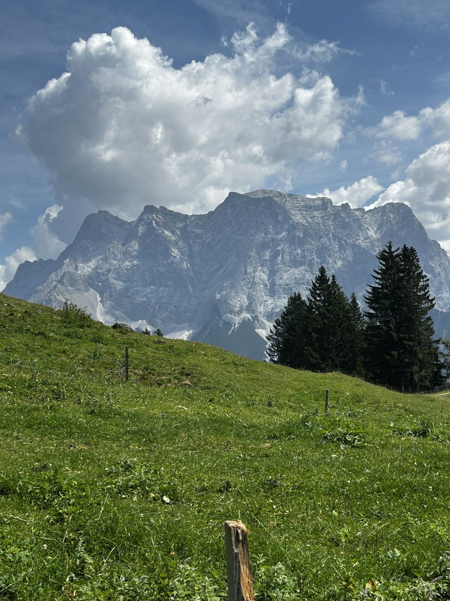
Daniel (2340M)
Bergwandern
11,52
km

Zuletzt getrackt
heute
Bewertungen


Beliebte Touren in der Nähe
- 4,8
Thaneller
mittelWanderung 4,90 km - 4,0
Höllentalklamm
mittelWanderung 5,53 km - 5,0
Zugspitze via Höllental
schwerKlettersteig 16,1 km - 4,9
EHRWALD | Seebensee und Drachensee
mittelWanderung 14,1 km - 4,8
Ehrwald - Hoher Gang - Seebensee - Drachensee - Coburger Hütte
schwerBergwandern 14,6 km - 4,8
Zugspitze
schwerWanderung 8,45 km - 3,6
Rundwanderung Plansee
mittelWanderung 9,80 km - 4,6
Ehrwald / Drachensee / Coburger Hütte / Seebensee
mittelWanderung 14,8 km - 4,4
Rundwanderung Stuibenfälle
mittelWanderung 3,92 km - 4,8
Höllentaler Rundtour
mittelWanderung 12,4 km
Wandern & Tracking

Über 550.000 Tourenvorschläge, detailliertes Kartenmaterial und ein intuitiver Routenplaner machen die App zum Must-have für alle Naturbegeisterten.

Verpasse keine Angebote und Inspirationen für deinen nächsten Urlaub
Zum Newsletter anmelden
Fehler
Ein Fehler ist aufgetreten. Bitte versuche es erneut.Vielen Dank für deine Anmeldung
Deine E-Mail-Adresse wurde in den Verteiler eingetragen.
Touren in ganz Europa
Österreich Schweiz Deutschland Italien Slowenien Frankreich Niederlande Belgien Polen Liechtenstein Tschechien Slowakei Spanien Kroatien Bosnien und Herzegowina Luxemburg Andorra Portugal Island Vereinigtes Königreich Irland Griechenland Albanien Nordmazedonien Malta Norwegen Montenegro Moldau Kosovo Ungarn San Marino Rumänien Estland Lettland Belarus Zypern Litauen Serbien Bulgarien Monaco Dänemark Schweden Finnland