






Elster Pearls Trail – Stage 6
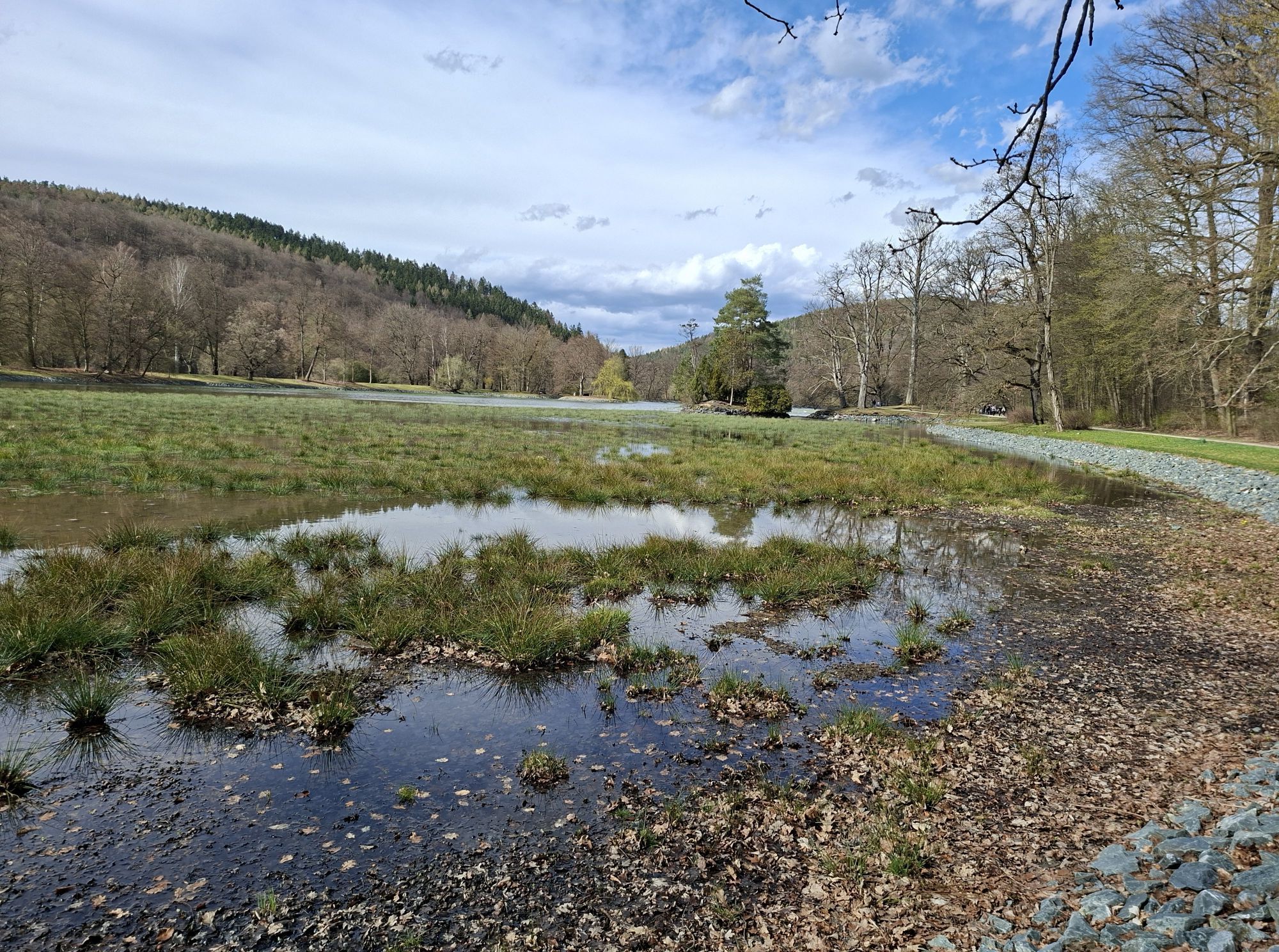
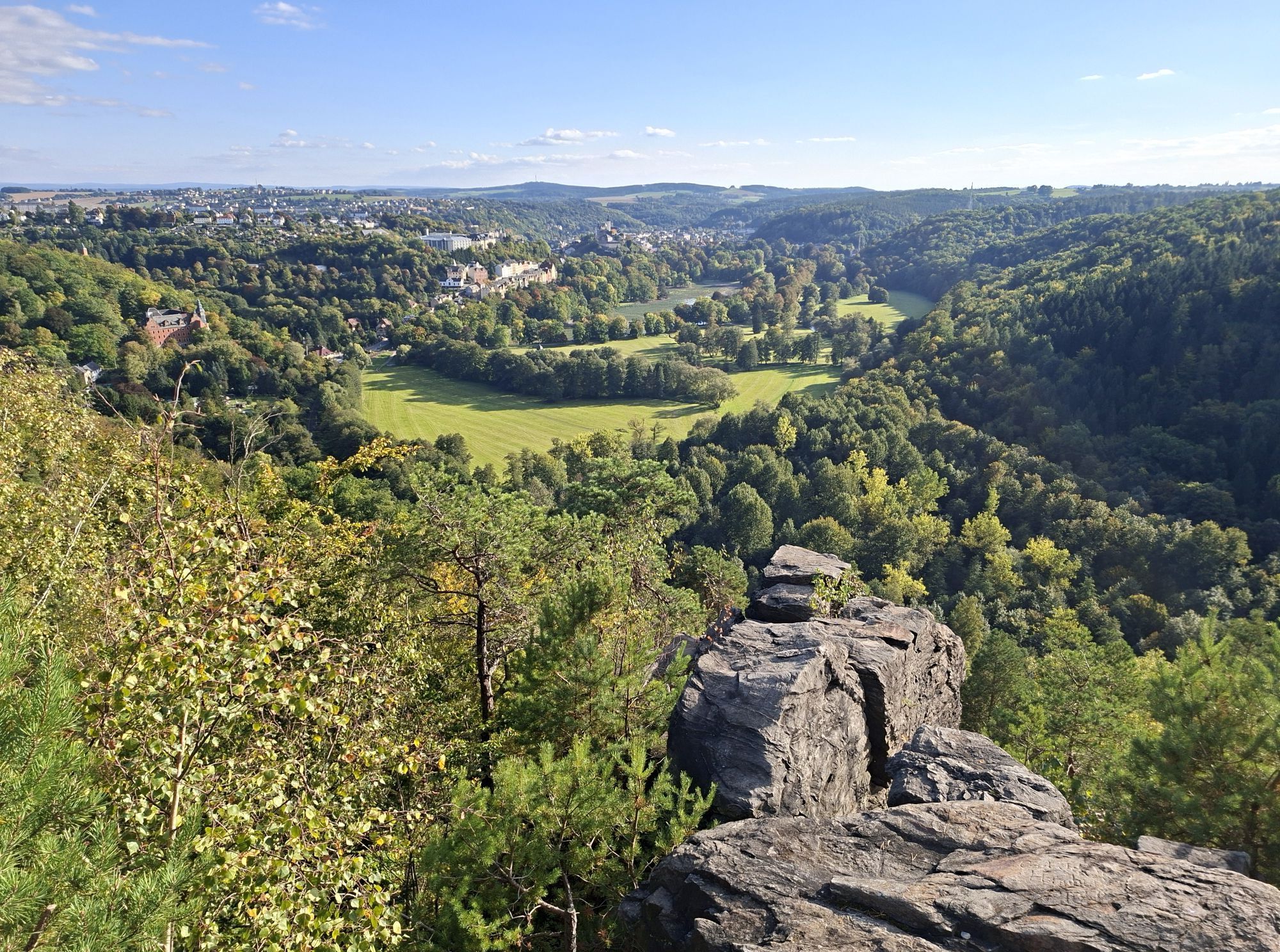
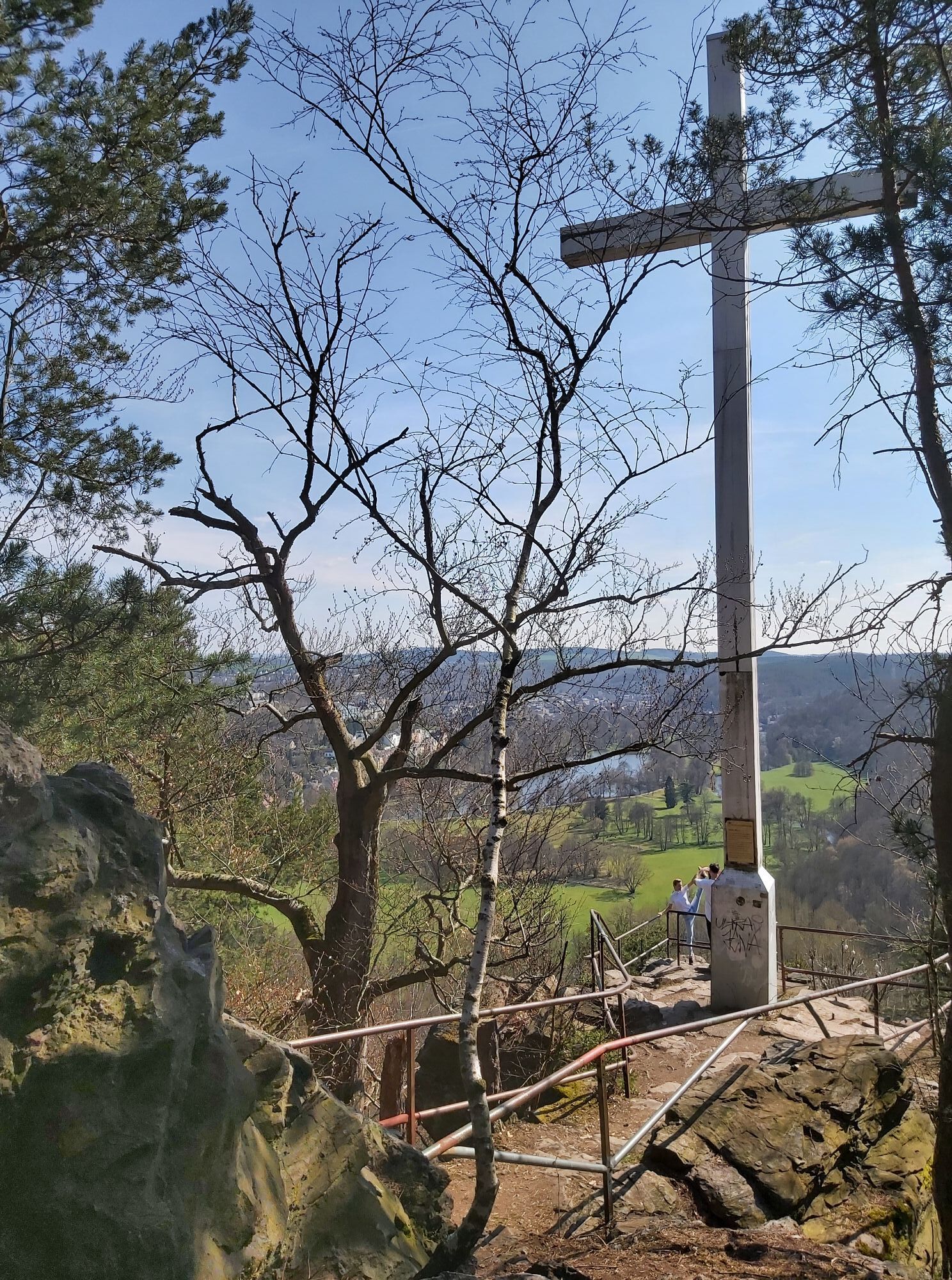
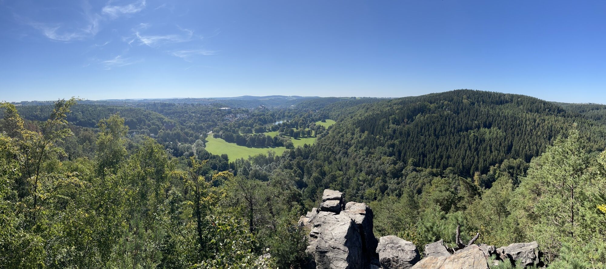
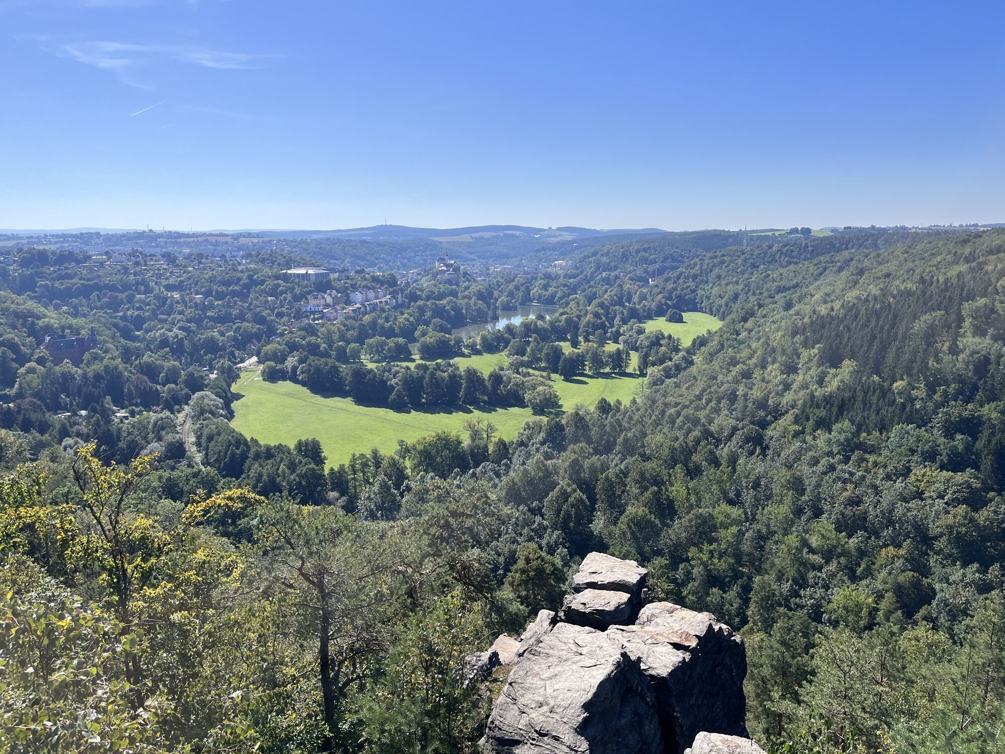
Start: Neumühle / Elster (municipal office)
Destination: Greizer Park
Distance: 9.93 km
Elevation gain: 590 m
Walking time: 3.5 to 4.5 hours
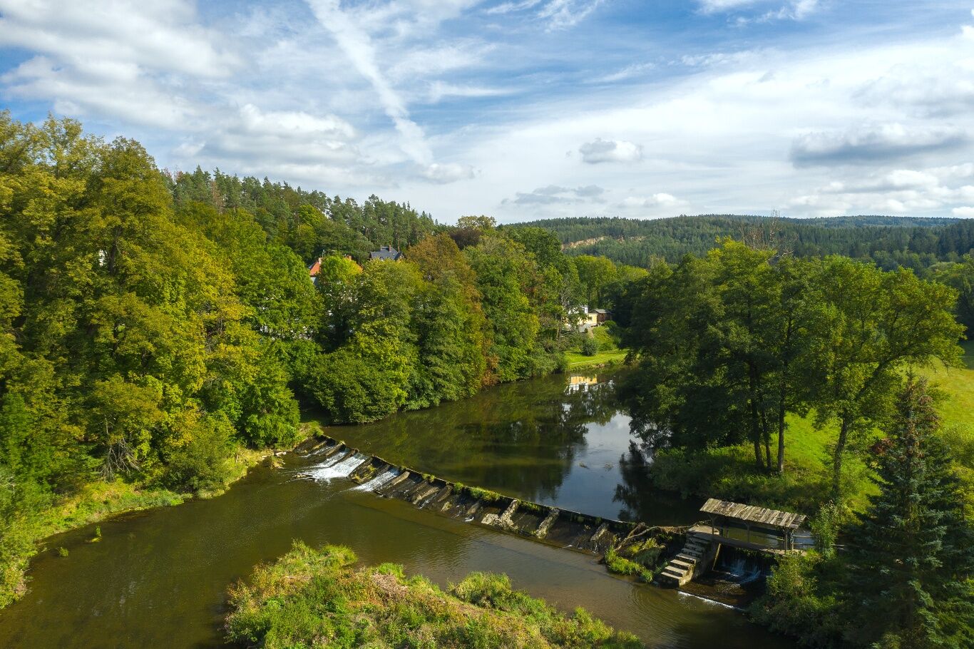
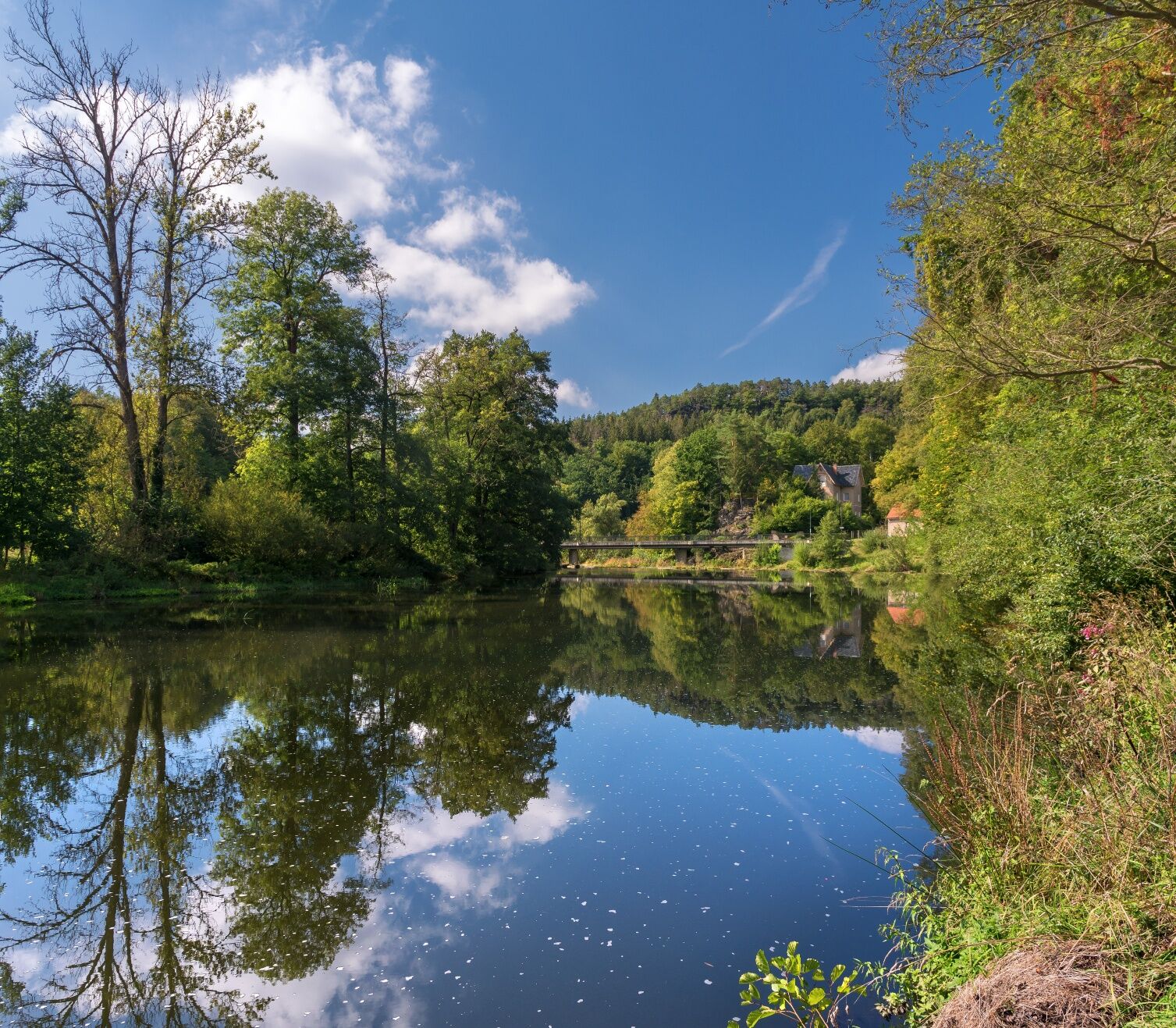
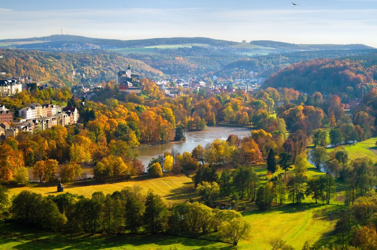
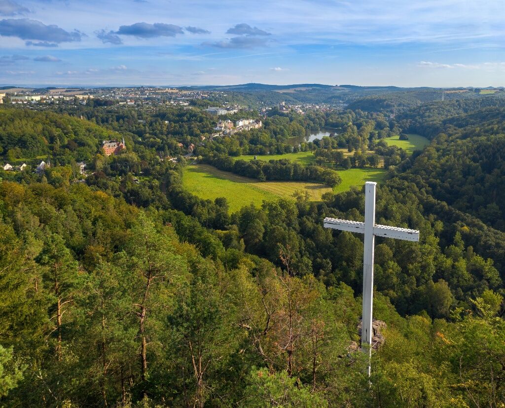
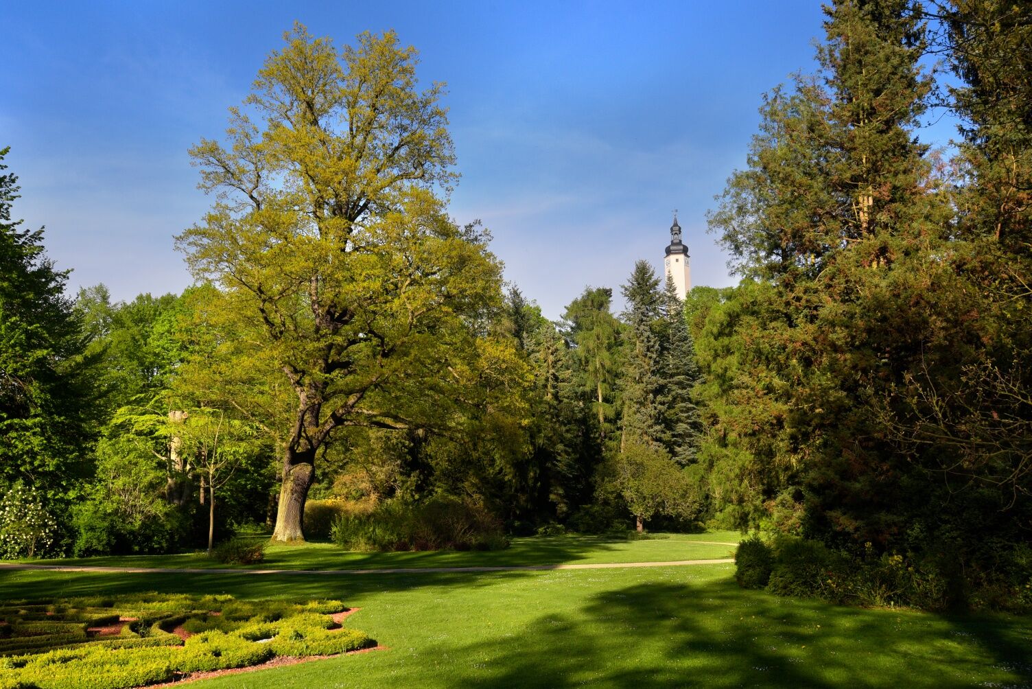

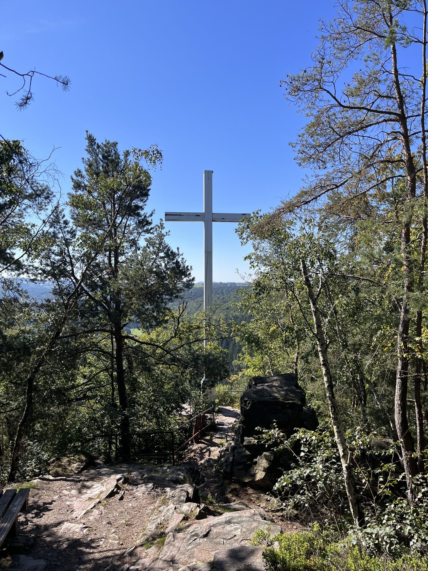
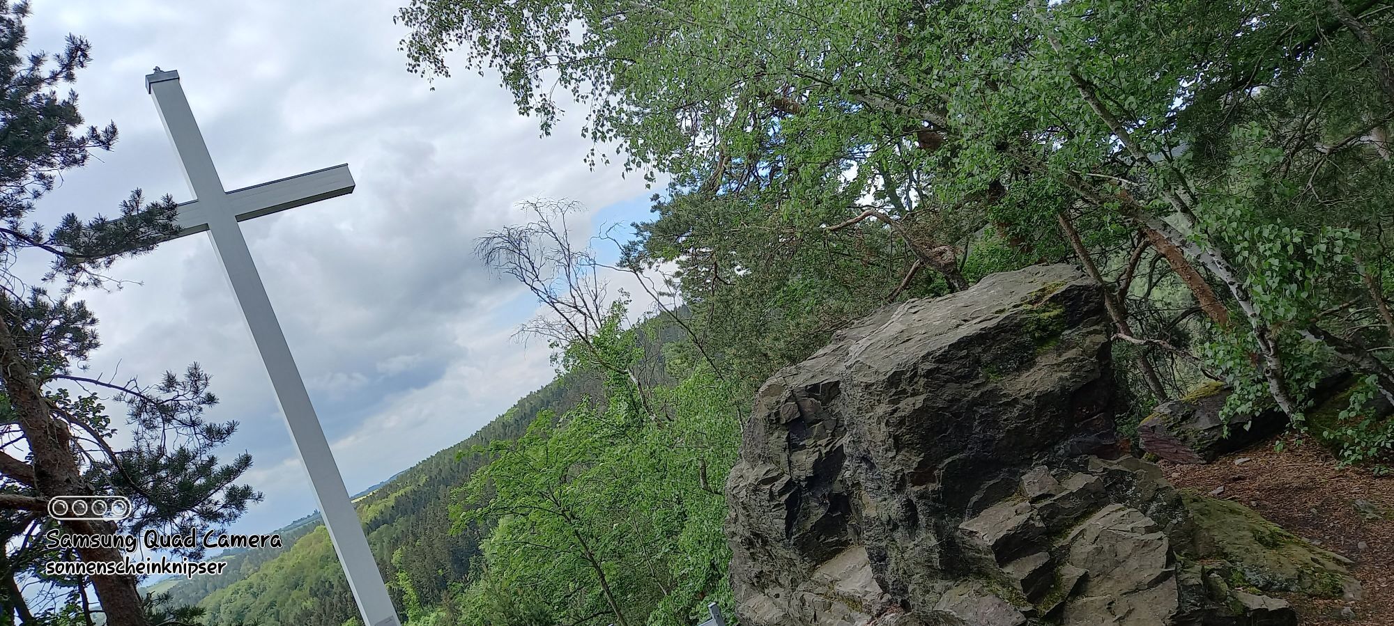
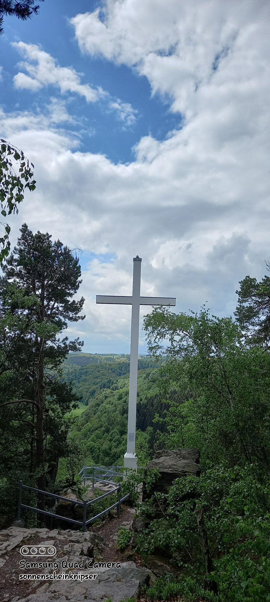
Start at the municipal administration Neumühle / Elster (240 m above sea level) - 100 m on the country road - turn left and cross the road - 600 m on the marked meadow path to the forest road in Schlötengrund - turn right on the forest road - 1 km straight on, past the Kuhbergbruch - turn right - cross the Schlötenbach an der Furt - 1.4 km uphill through a ravine to the forest path crossing "Bierweg" (408 m above sea level) - continue on "Nasser Weg" downhill and uphill to the Weißen Kreuz (375 m above sea level) . NN) - after the Weißes Kreuz turn right into the forest path - 800 m forest path downhill to the first houses "Am Brand" - turn left - follow the EPW markings to the Laagweg intersection - turn right and after 50 m immediately left again onto the forest path - Follow the forest path 300 m uphill - turn right at the forest road - 700 m straight ahead to Pulverturm (325 m above sea level) - turn right at the powder tower - down a serpentine 200 m down to the Krümmetal (250 m above sea level) - keep right and 150 m to the intersection of Landstrasse Walk to Neumühle - cross the street - turn left - straight on for 150 m on the sidewalk to the north entrance to Greizer Park - turn right on the park path - after 50 m turn left - 400 m on the park path past the Parksee to the rest area "Rindenhaus" - left at the next fork in the park path turn - after 300 m at the exit of Greizer Park - cross the street - 600 m uphill to the rear entrance of the "Upper Castle" (290 m above sea level) NN) - walk 200 m on the outer path around the "Obere Schloss" - at the end of the path turn right onto the "Schloßberg" - 100 m downhill - turn right - 100 m on the sidewalk of Schloßbergstraße - turn right into Brückenstraße and 250 m go to the main entrance Greizer Park, the stage destination.
You can get a folding map with the complete route as well as information about sights and refreshment stops in the brochure shop of the tourism association at www.vogtland-tourismus.de/en/brochure...
Appropriate hiking equipment should be used for the almost 10 km long path.
Pay attention to your physical condition and take appropriate quantities of drinks with you on the hike.
You can reach Neumühle via Greiz from the A72 via the Reichenbach exit.
Further information is available from the PRG on +49 3661/706565 or the Vogtland Tourist and Transport Office on +49 3744 19449 or www.vogtlandauskunft.de.
Parking spaces are available at Neumühle station.
Powder Tower GreizCastles in GreizPark and Summer Palace
Beliebte Touren in der Nähe
Talsperre Pöhl-Triebtal-Elstertalbrücke
leichtWanderung 8,76 km- 4,0
Rundwanderung im Pöllwitzer Wald
leichtWanderung 8,49 km - 3,0
Neukirchner Waldrunde
leichtMountainbike 35,9 km Rundweg Weidatalsperre
schwerWanderung 13,8 kmLeubnitz - Werdauer Wald - Stauweiher - Leubnitz
leichtWanderung 6,86 km- 4,0
Wanderweg "Zur Göltzschtalbrücke"
mittelWanderung 13,4 km - 5,0
Durch das Waldhaus-Revier Greiz
leichtWanderung 6,65 km Elster Pearls Trail – Stage 5
mittelWanderung 9,92 km- 5,0
Rundwanderung "Zur Clodramühle" - Elstersteigen
Wanderung 11,5 km Von der Osterburg zur Aumatalsperre
mittelWanderung 11,2 km

Wandern & Tracking


Verpasse keine Angebote und Inspirationen für deinen nächsten Urlaub
Deine E-Mail-Adresse wurde in den Verteiler eingetragen.





