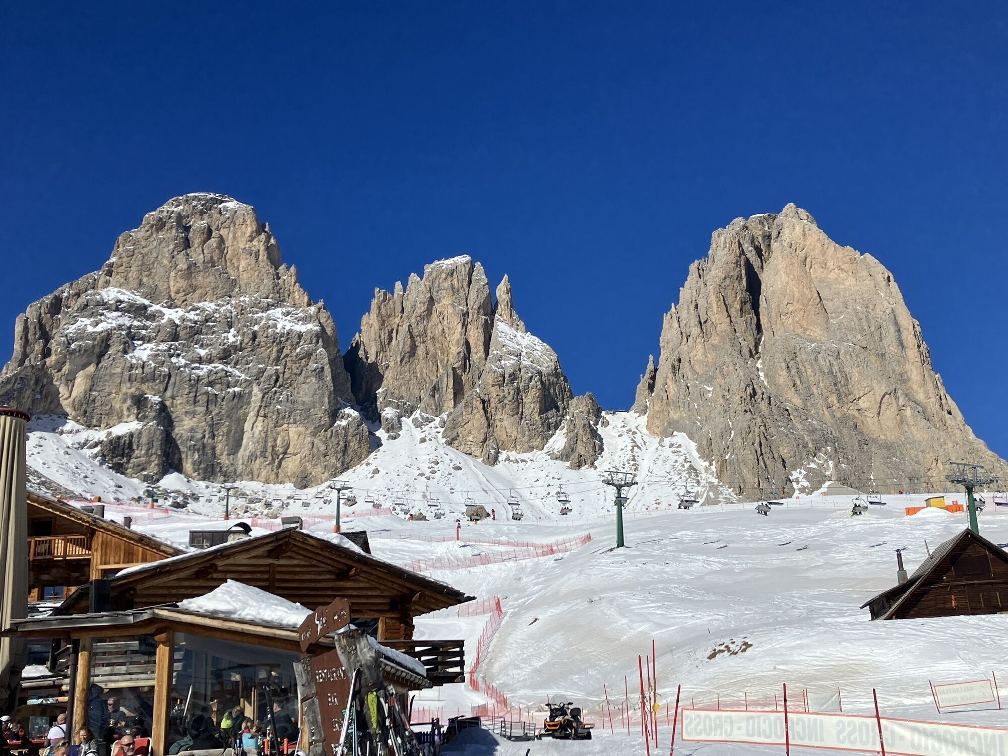
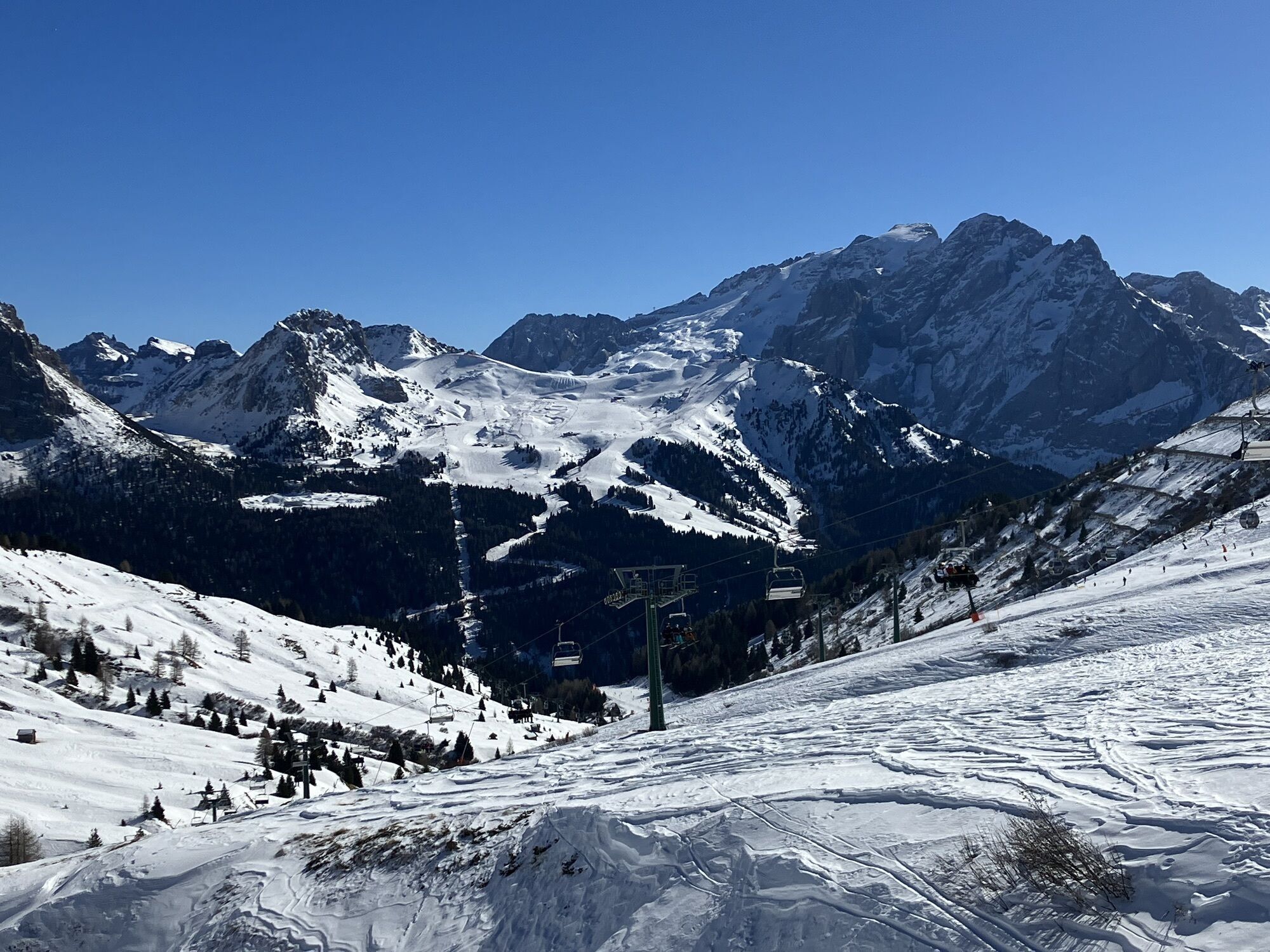
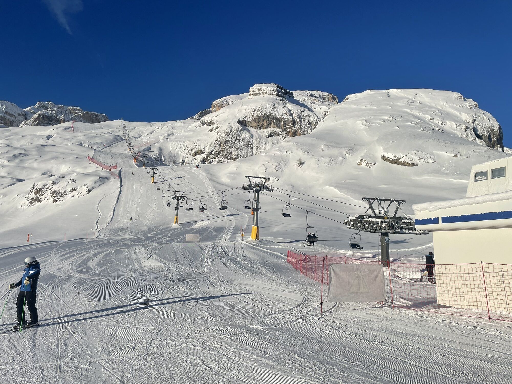
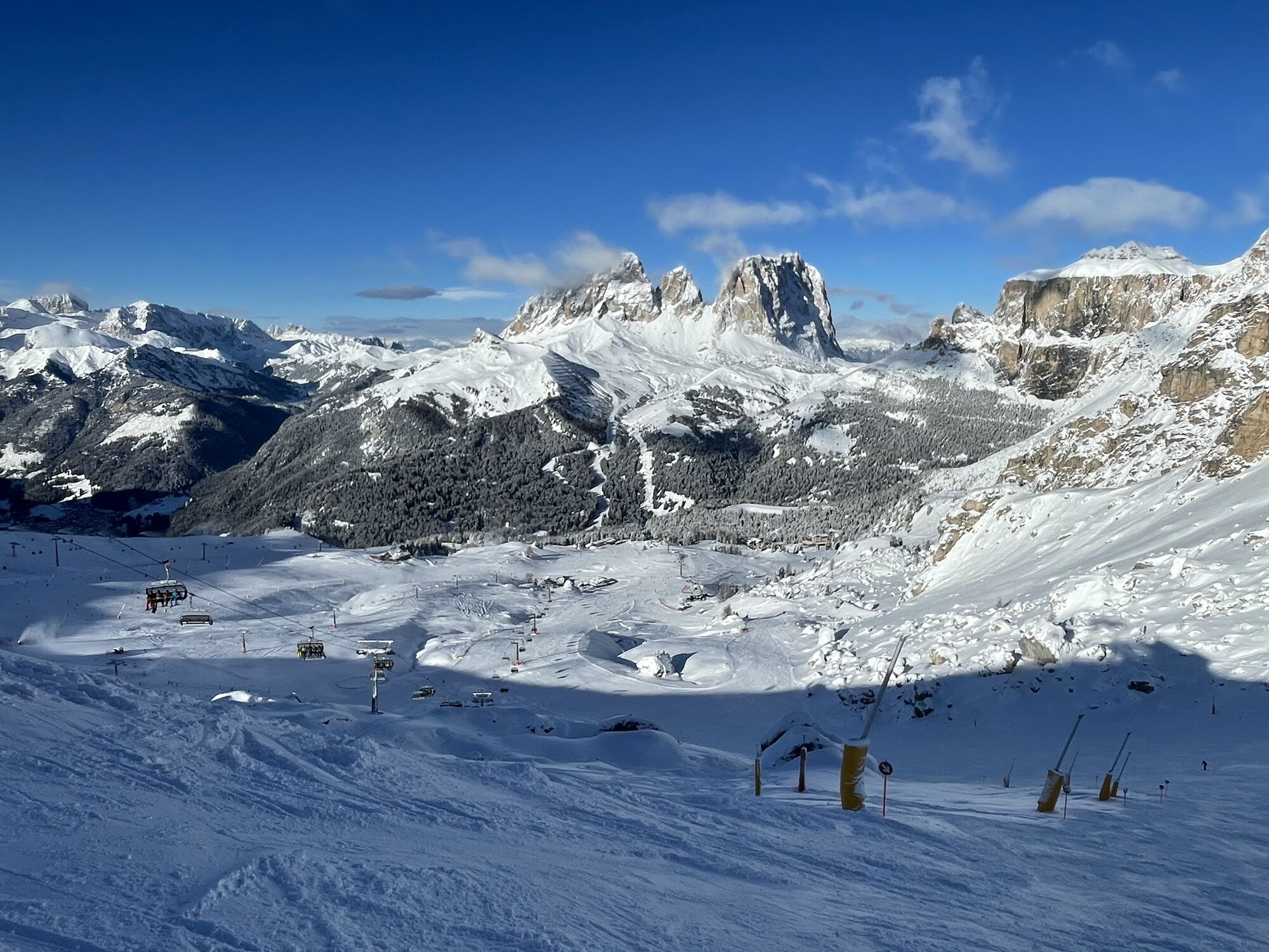
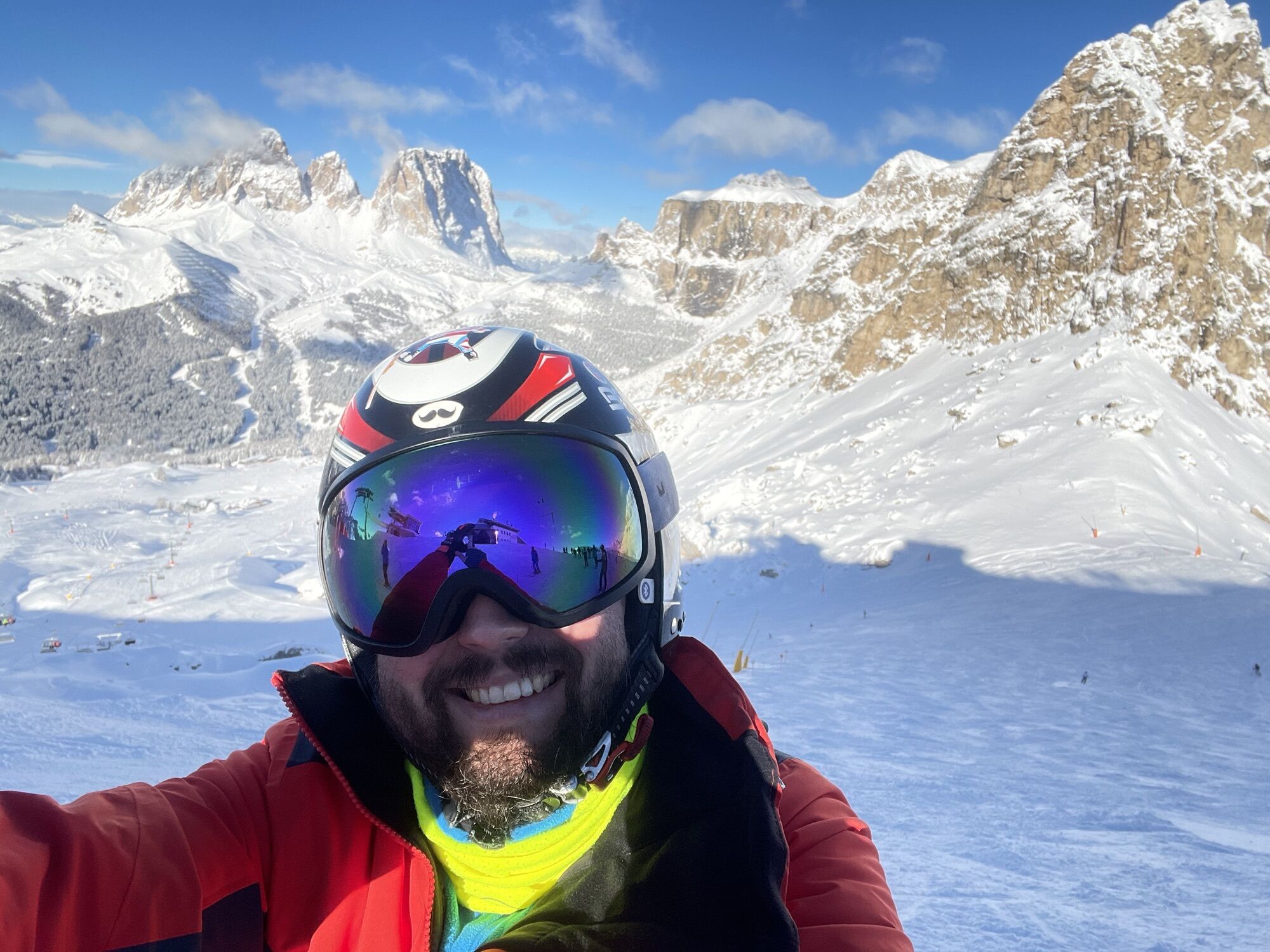
Sellaronda deň 5
mittel
Navigieren
Navigieren
Hol diese Tour auf dein Handy
Sellaronda deň 5
mittel
Skifahren
63,23
km
QR-Code scannen und Navigation in der bergfex App beginnen

Wandern & Tracking


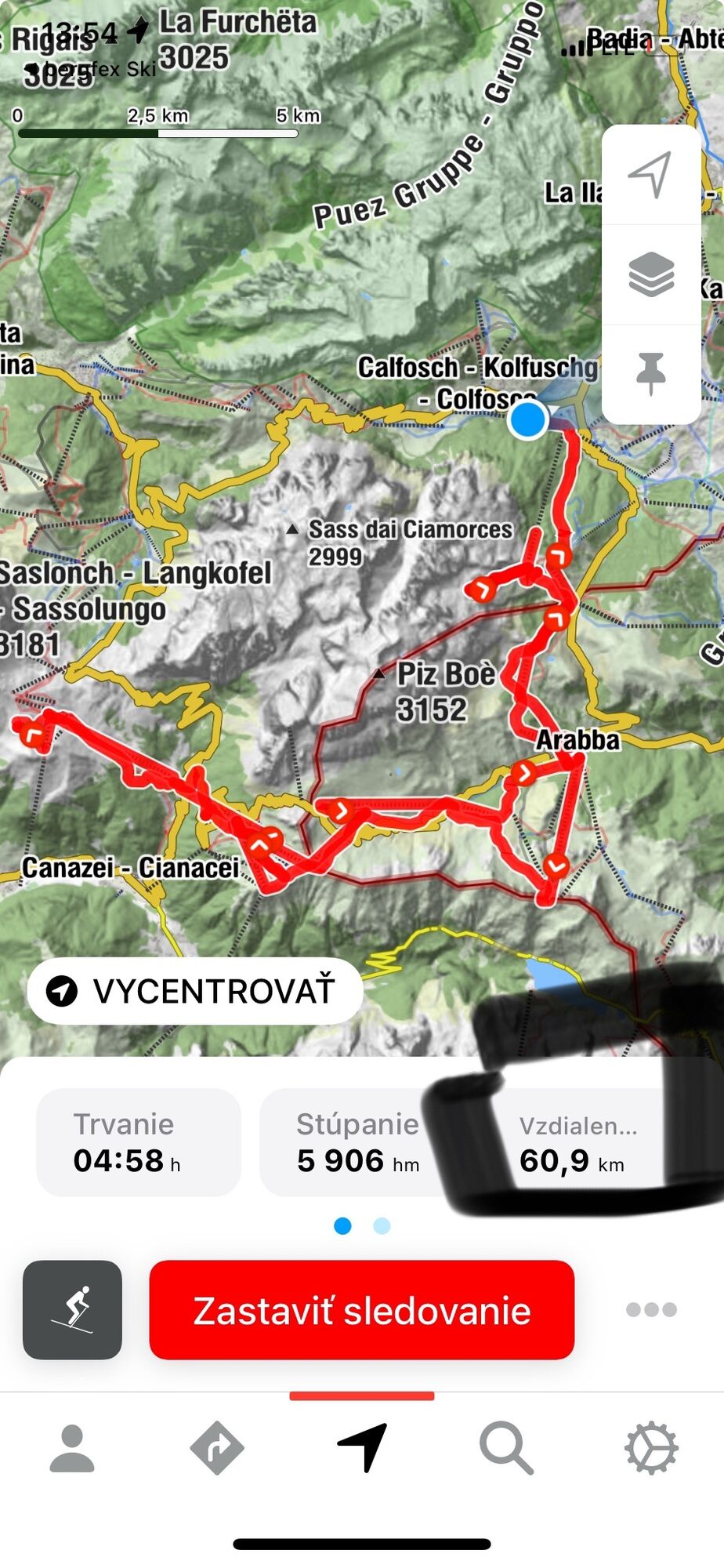
Sellaronda deň 5
mittel
Distanz
63,23
km
Dauer
03:18
h
Aufstieg
6.192
hm
Seehöhe
1.610 -
2.548
m
Track-Download
Sellaronda deň 5
mittel
Skifahren
63,23
km


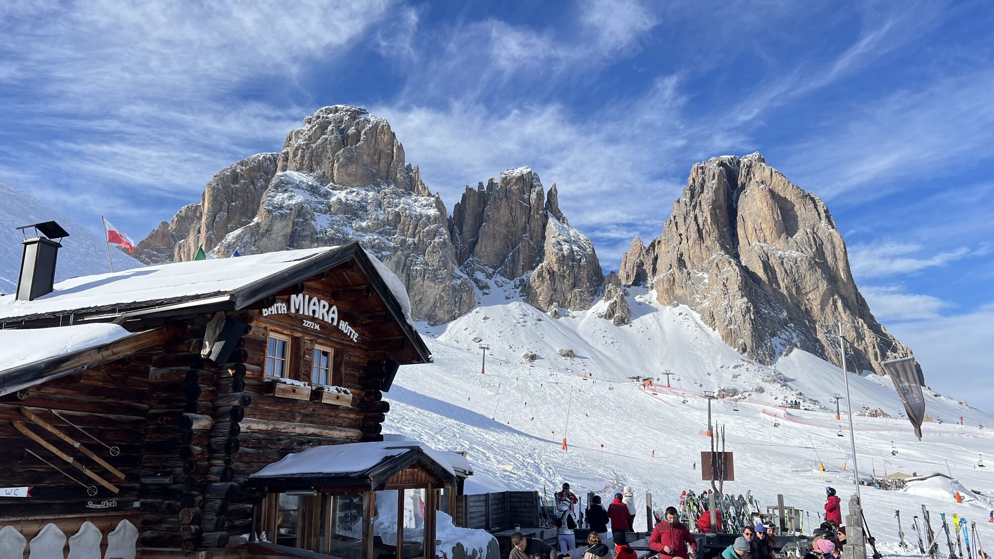
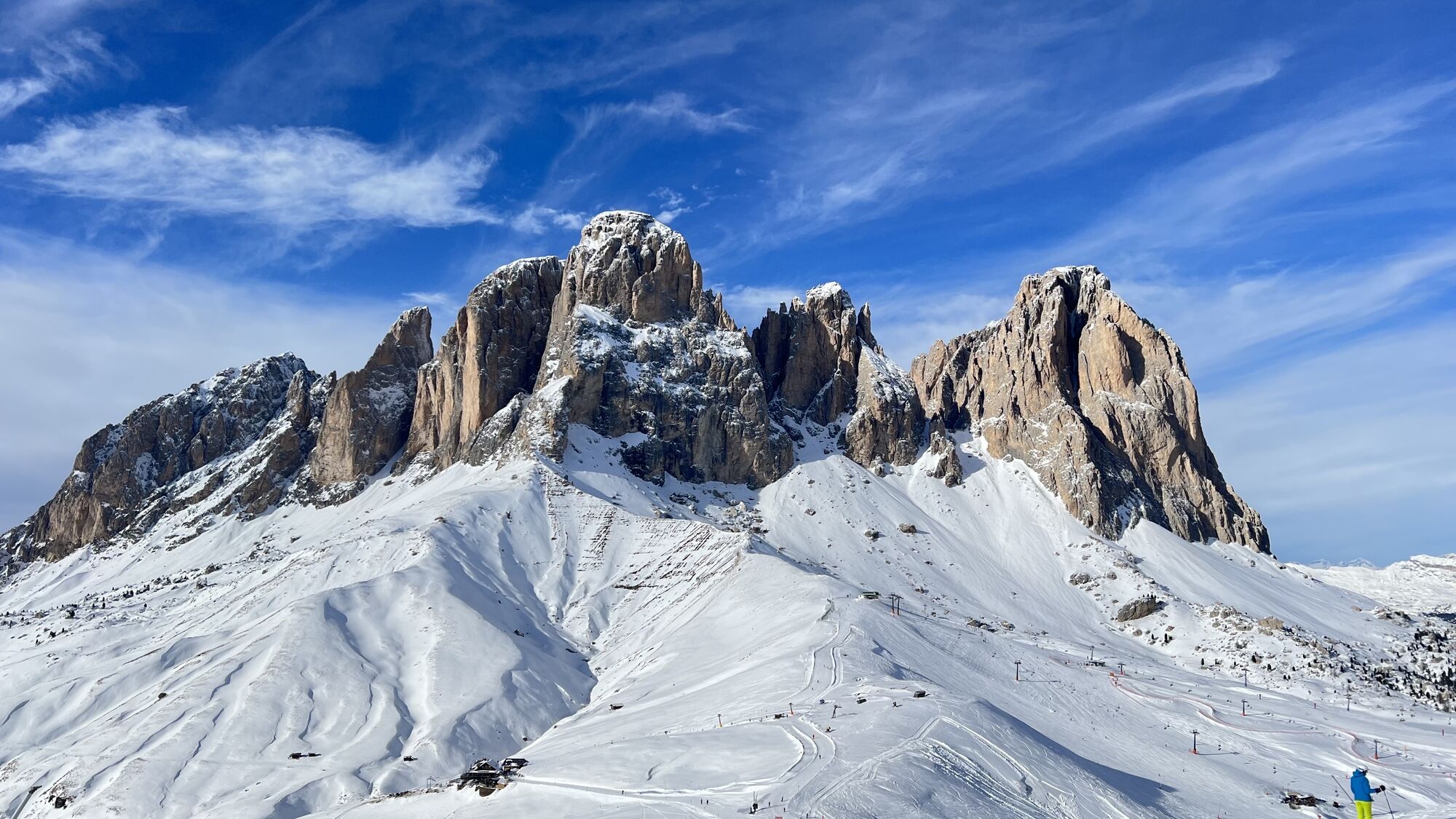
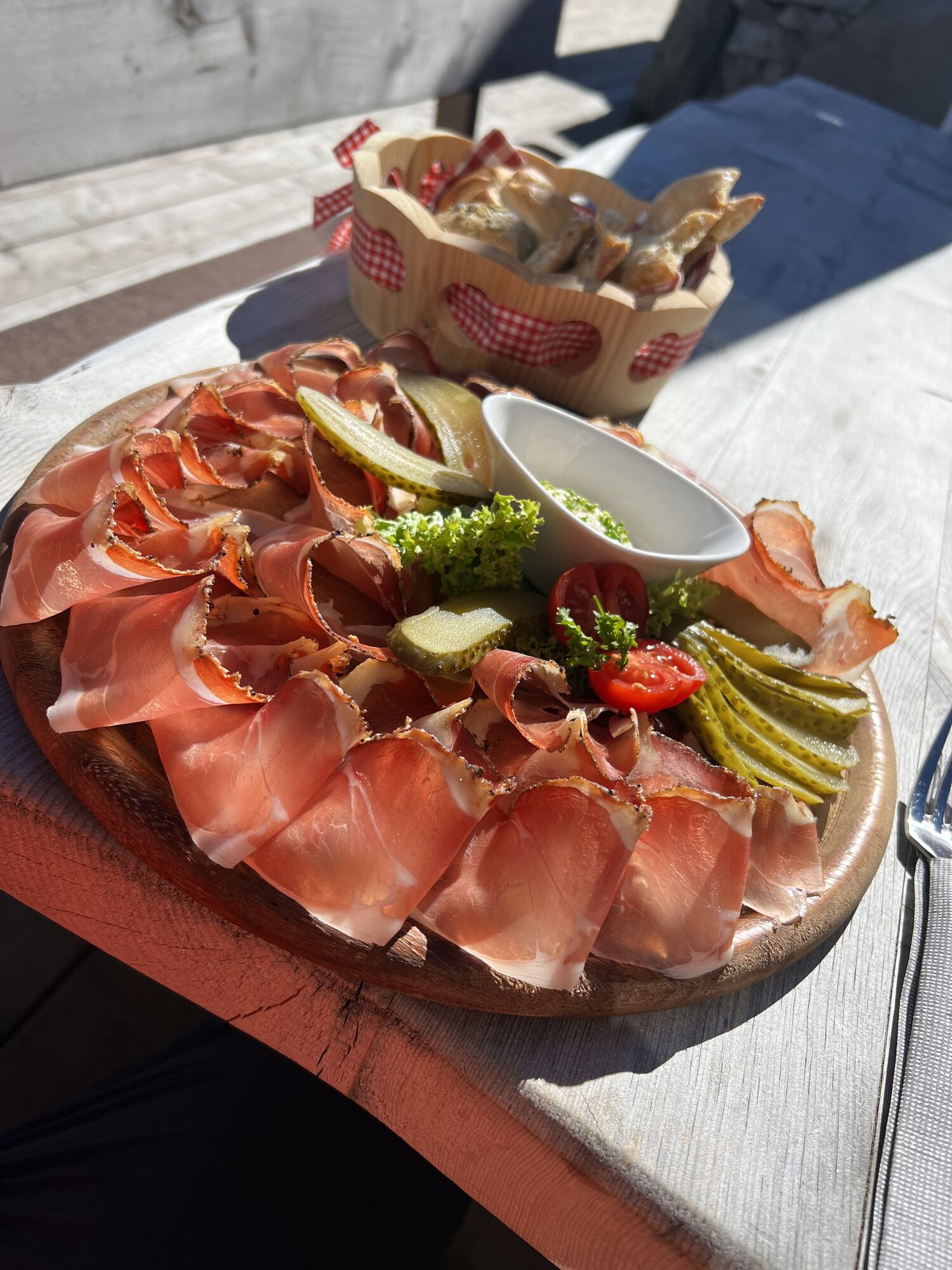
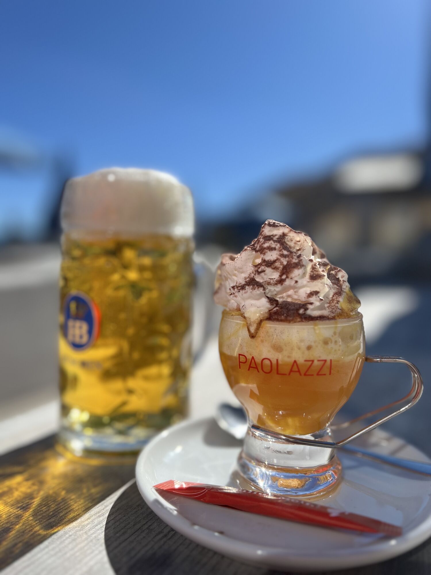
Fotos unserer User

 © GipfelspeziErstellt am 30.01.2025
 © GipfelspeziErstellt am 30.01.2025
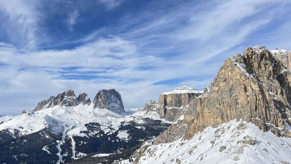 © GipfelspeziErstellt am 30.01.2025
 © PRO1EErstellt am 28.07.2023
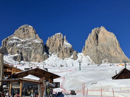
 © Bernd BluttnerErstellt am 14.02.2023
 © GipfelspeziErstellt am 30.01.2025
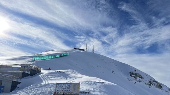 © GipfelspeziErstellt am 30.01.2025
 © GipfelspeziErstellt am 30.01.2025
 © GipfelspeziErstellt am 30.01.2025
 © GipfelspeziErstellt am 25.01.2025
 © GipfelspeziErstellt am 07.10.2024
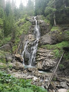
 © Pietro cantiniErstellt am 20.08.2024
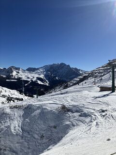 © Bernd BluttnerErstellt am 14.02.2023
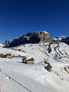 © Bernd BluttnerErstellt am 14.02.2023
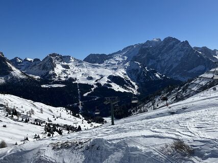 © Bernd BluttnerErstellt am 14.02.2023
 © GipfelspeziErstellt am 03.10.2022
 © GipfelspeziErstellt am 03.10.2022
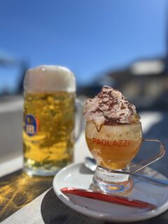 © GipfelspeziErstellt am 03.10.2022
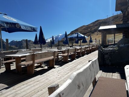 © GipfelspeziErstellt am 03.10.2022


Wegverlauf
Rifugio Plan Boè
(1.810 m)
Schutzhütte
11,8 km
Rifugio Luigi Gorza
(2.495 m)
Schutzhütte
16,5 km
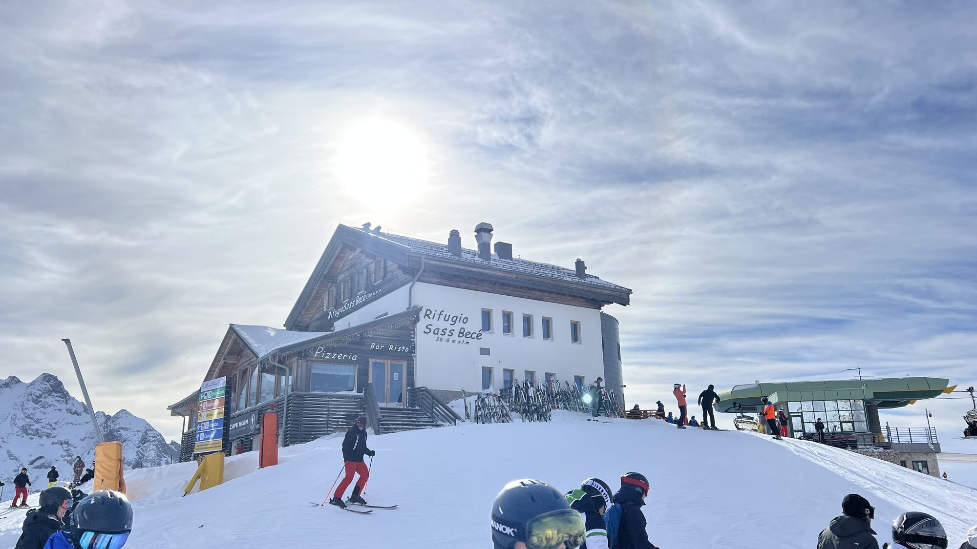
Rifugio Sass Becè
(2.422 m)
Schutzhütte
24,6 km
Col di Rosc
(2.382 m)
Gipfel
28,3 km
Friedrich-August-Hütte
(2.291 m)
Schutzhütte
36,8 km
Rifugio Plan Boè
(1.810 m)
Schutzhütte
54,0 km
Burjé
(1.544 m)
Siedlung
59,9 km
Wegverlauf
Sellaronda deň 5
mittel
Skifahren
63,23
km
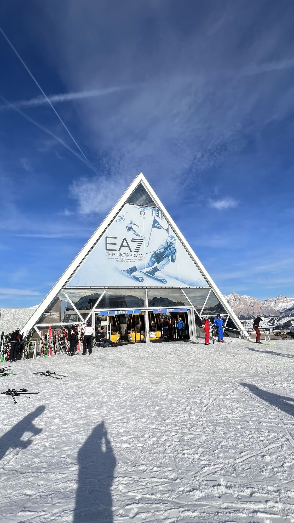
Boè
(2.198 m)
Gondelstation
0,5 km
Piz Boè Alpine Lounge
(2.198 m)
Restaurant
0,5 km
Vallon
(2.196 m)
Gondelstation
0,7 km
Vallon
(2.520 m)
Gondelstation
1,8 km
Vallon
(2.196 m)
Gondelstation
3,2 km
Vallon
(2.520 m)
Gondelstation
4,2 km
Kaiser Hütte
(2.078 m)
Schutzhütte
8,3 km
Campolongo
(1.845 m)
Gondelstation
9,4 km
Campolongo
(2.083 m)
Gondelstation
10,4 km
Rifugio Plan Boè
(1.810 m)
Schutzhütte
11,8 km
Arabba Fly
(1.665 m)
Gondelstation
13,0 km
Arabba Fly
(1.639 m)
Gondelstation
13,5 km
Arabba
(1.600 m)
Dorf
13,8 km
Viel dal Pan
(2.495 m)
Restaurant
16,4 km
Rifugio Luigi Gorza
(2.495 m)
Schutzhütte
16,5 km
Forcella Porta Vescovo
(2.474 m)
Aussichtspunkt
16,6 km
Pont de Vauz
(1.853 m)
Siedlung
19,9 km
Fodom
(1.856 m)
Gondelstation
19,9 km
Fodom
(2.224 m)
Gondelstation
22,2 km
Saletei
(2.227 m)
Gondelstation
22,3 km
Fodom Hütte
(2.081 m)
Restaurant
23,1 km
Lezuo Belvedere
(2.072 m)
Gondelstation
23,2 km
Lezuo Belvedere
(2.411 m)
Gondelstation
24,5 km
Rifugio Sass Becè
(2.422 m)
Schutzhütte
24,6 km
Rifugio Belvedere
(2.340 m)
Restaurant
25,1 km
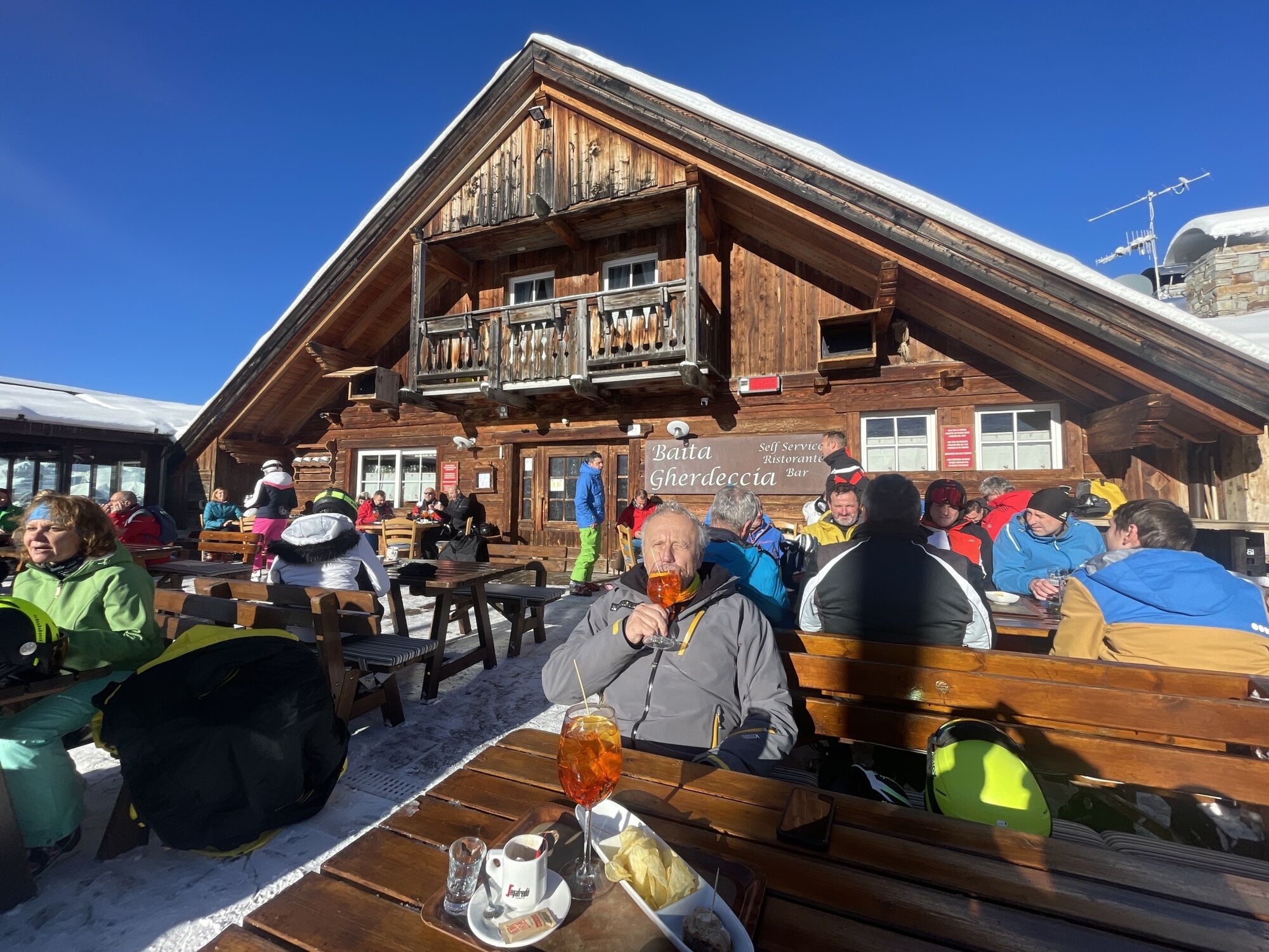
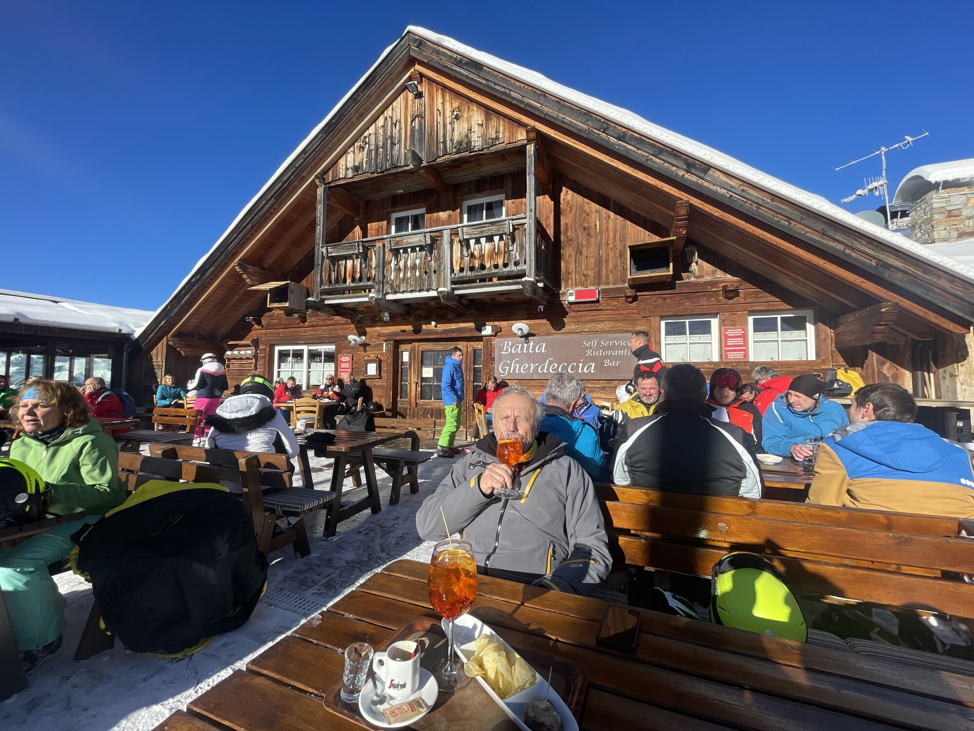
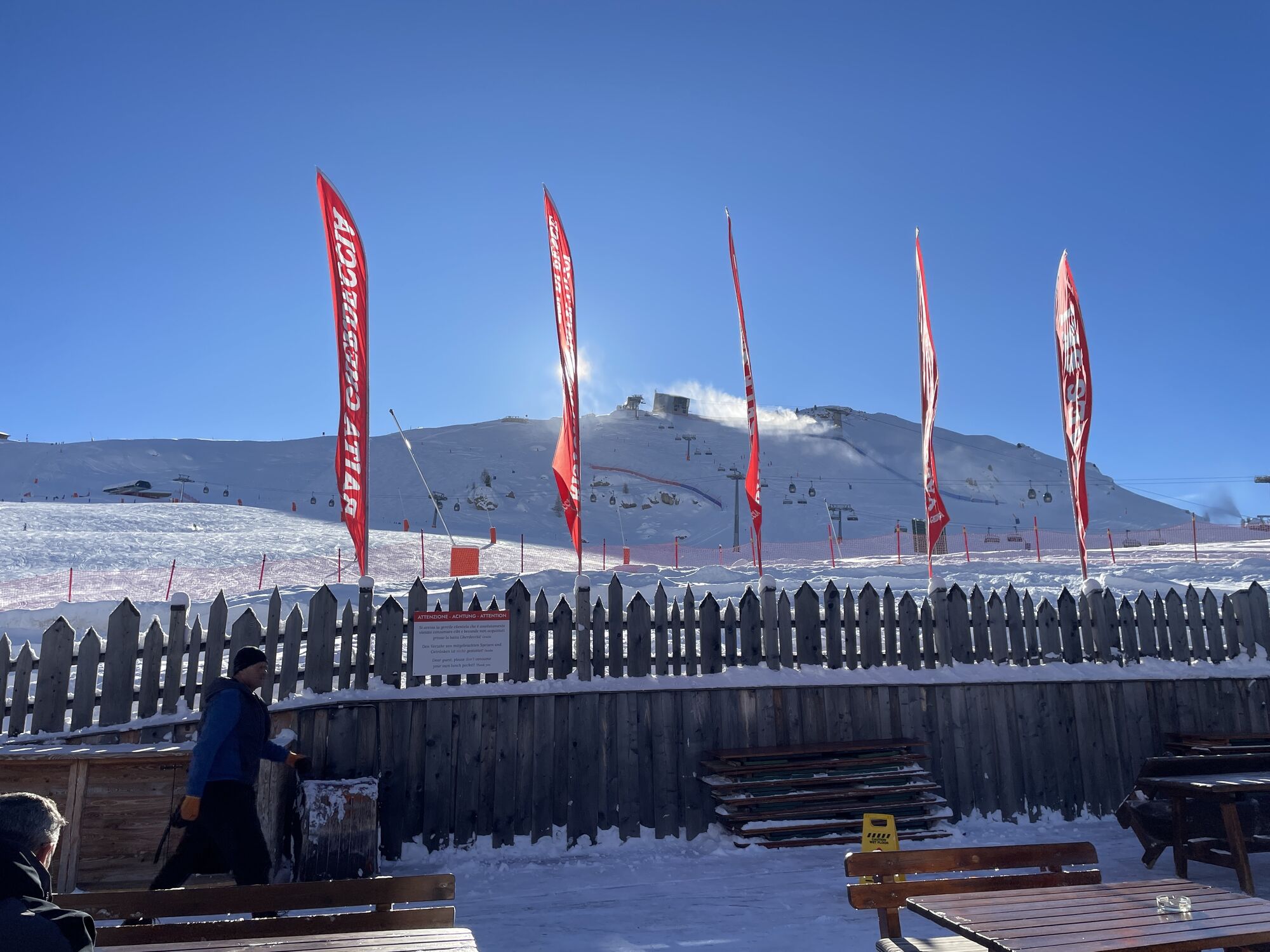
Baita Gherdeccia
(2.175 m)
Restaurant
26,0 km
Kristiania
(2.061 m)
Gondelstation
26,9 km
Kristiania
(2.376 m)
Gondelstation
28,3 km
Col di Rosc
(2.382 m)
Gipfel
28,3 km
Pradel
(1.724 m)
Gondelstation
32,8 km
Rodella
(2.227 m)
Gondelstation
35,4 km
Rodella des Alpes
(2.224 m)
Gondelstation
35,5 km
Salei
(2.396 m)
Gondelstation
36,0 km
Rodella des Alpes
(2.396 m)
Gondelstation
36,0 km
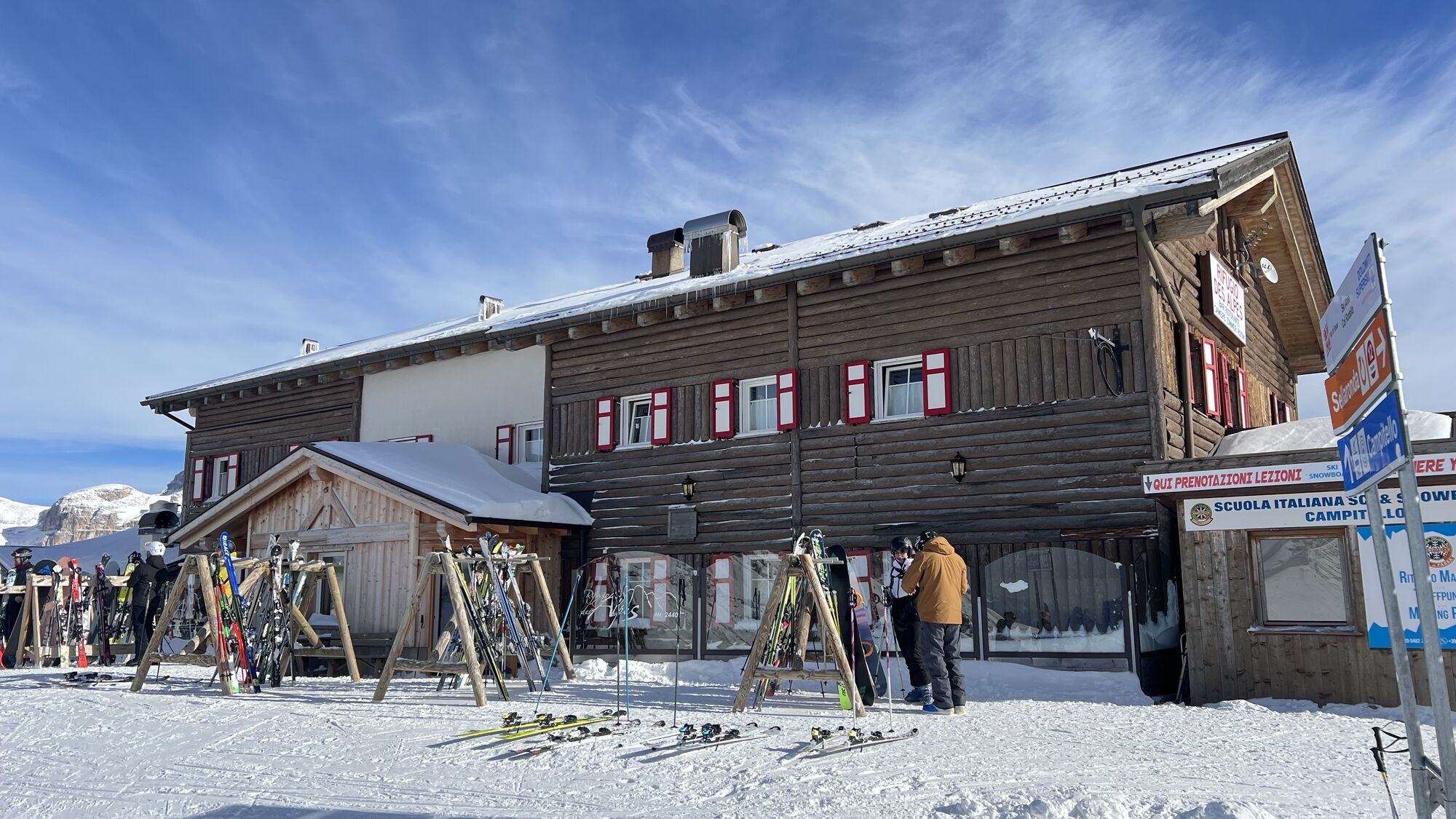
Rifugio Des Alpes
(2.397 m)
Schutzhütte
36,1 km
Friedrich-August-Hütte
(2.291 m)
Schutzhütte
36,8 km
Gabia
(2.289 m)
Gondelstation
36,9 km
Gabia
(2.329 m)
Gondelstation
37,1 km
Bar Ristorante Dolomites
(2.015 m)
Restaurant
39,0 km
Baita Pradel
(1.742 m)
Restaurant
40,8 km
Pian Frataces
(1.729 m)
Gondelstation
41,1 km
Gonzaga
(2.194 m)
Gondelstation
43,1 km
Gherdecia
(2.204 m)
Gondelstation
43,1 km
Ristorante Kristiania
(2.152 m)
Restaurant
43,5 km
Sass Becè
(2.147 m)
Gondelstation
43,6 km
Sass Becè
(2.422 m)
Gondelstation
44,6 km
Rifugio Sass Becè
(2.422 m)
Schutzhütte
44,6 km
Albergo Ristoro Lezuo
(2.147 m)
Restaurant
45,8 km
Alpenrose
(1.854 m)
Gondelstation
48,0 km
Fodom
(1.856 m)
Gondelstation
48,0 km
Pont de Vauz
(1.853 m)
Siedlung
48,0 km
Alpenrose
(1.985 m)
Gondelstation
48,9 km
Pallua
(1.685 m)
Siedlung
50,5 km
Arabba Fly
(1.639 m)
Gondelstation
51,2 km
Arabba Fly
(1.665 m)
Gondelstation
51,7 km
Arabba
(1.600 m)
Dorf
52,1 km
Burz
(1.613 m)
Gondelstation
52,2 km
Rifugio Col de Burz
(1.933 m)
Schutzhütte
53,1 km
Burz
(1.932 m)
Gondelstation
53,1 km
Le Pale
(1.801 m)
Gondelstation
53,8 km
Rifugio Plan Boè
(1.810 m)
Schutzhütte
54,0 km
Le Pale
(2.085 m)
Gondelstation
54,8 km
Kaiser Hütte
(2.078 m)
Schutzhütte
54,9 km
Costoratta
(1.841 m)
Gondelstation
56,1 km
Costoratta
(2.055 m)
Gondelstation
56,8 km
Burjé
(1.544 m)
Siedlung
59,9 km
Corvara
(1.568 m)
Dorf
60,0 km
Borest
(1.541 m)
Gondelstation
60,0 km
Borest
(1.595 m)
Gondelstation
61,4 km
Colfosco
(1.600 m)
Gondelstation
61,5 km
Kolfuschg
(1.645 m)
Dorf
61,9 km
Surarù
(1.687 m)
Siedlung
62,2 km
Colfosco
(1.856 m)
Gondelstation
62,9 km
Edelweisshütte
(1.834 m)
Restaurant
63,2 km


Noch keine Bewertungen
Beliebte Touren in der Nähe
- 4,7
Anello Passo Pordoi-Forcella P-Piz Boè
mittelWanderung10,6 km - 4,6
Pordoijoch - Sass Pordoi - Pordoi Scharte - Piz Boè - Bamberger Hütte - Pordoi Scharte - Pordoijoch
schwerWanderung8,39 km - 4,7
Langkofel-Umrundung
mittelWanderung12,9 km - 4,5
Dolomiten Sellagruppe, Alb. Col di Lana, Sas de Pordoi, Piz Boé retour 22.06.2016
mittelWanderung5 km - 4,7
Der Munkelweg unter den Geislerspitzen
mittelWanderung9,11 km - 4,9
Lang- und Plattkofel Umrundung
mittelWanderung17,5 km - 4,6
Umrundung Langkofel und Plattkofel, Gipfel Plattkofel
schwerWanderung21,8 km - 3,8
Der Friedrich-August-Weg
mittelWanderung10,4 km - 2,4
Der Friedrich-August-Weg
leichtWanderung10,5 km - 4,8
Sasslong Rundwanderung
mittelWanderung10,8 km
Wandern & Tracking

Über 550.000 Tourenvorschläge, detailliertes Kartenmaterial und ein intuitiver Routenplaner machen die App zum Must-have für alle Naturbegeisterten.

Verpasse keine Angebote und Inspirationen für deinen nächsten Urlaub
Zum Newsletter anmelden
Fehler
Ein Fehler ist aufgetreten. Bitte versuche es erneut.Vielen Dank für deine Anmeldung
Deine E-Mail-Adresse wurde in den Verteiler eingetragen.
Touren in ganz Europa
Österreich Schweiz Deutschland Italien Slowenien Frankreich Niederlande Belgien Polen Liechtenstein Tschechien Slowakei Spanien Kroatien Bosnien und Herzegowina Luxemburg Andorra Portugal Island Vereinigtes Königreich Irland Griechenland Albanien Nordmazedonien Malta Norwegen Montenegro Moldau Kosovo Ungarn San Marino Rumänien Estland Lettland Belarus Zypern Litauen Serbien Bulgarien Monaco Dänemark Schweden Finnland