






723 | Max Hirschl-Weg



Diese eindrucksvolle, jedoch nur für geübte Bergsteiger oder mit Bergführer empfohlene Route führt vom Mooserboden über den Kempsenkopf (3.091 m) zur Gleiwitzer Hütte (2.174 m) – oder alternativ weiter...
Diese eindrucksvolle, jedoch nur für geübte Bergsteiger oder mit Bergführer empfohlene Route führt vom Mooserboden über den Kempsenkopf (3.091 m) zur Gleiwitzer Hütte (2.174 m) – oder alternativ weiter bis zum Hohen Tenn (3.317 m).
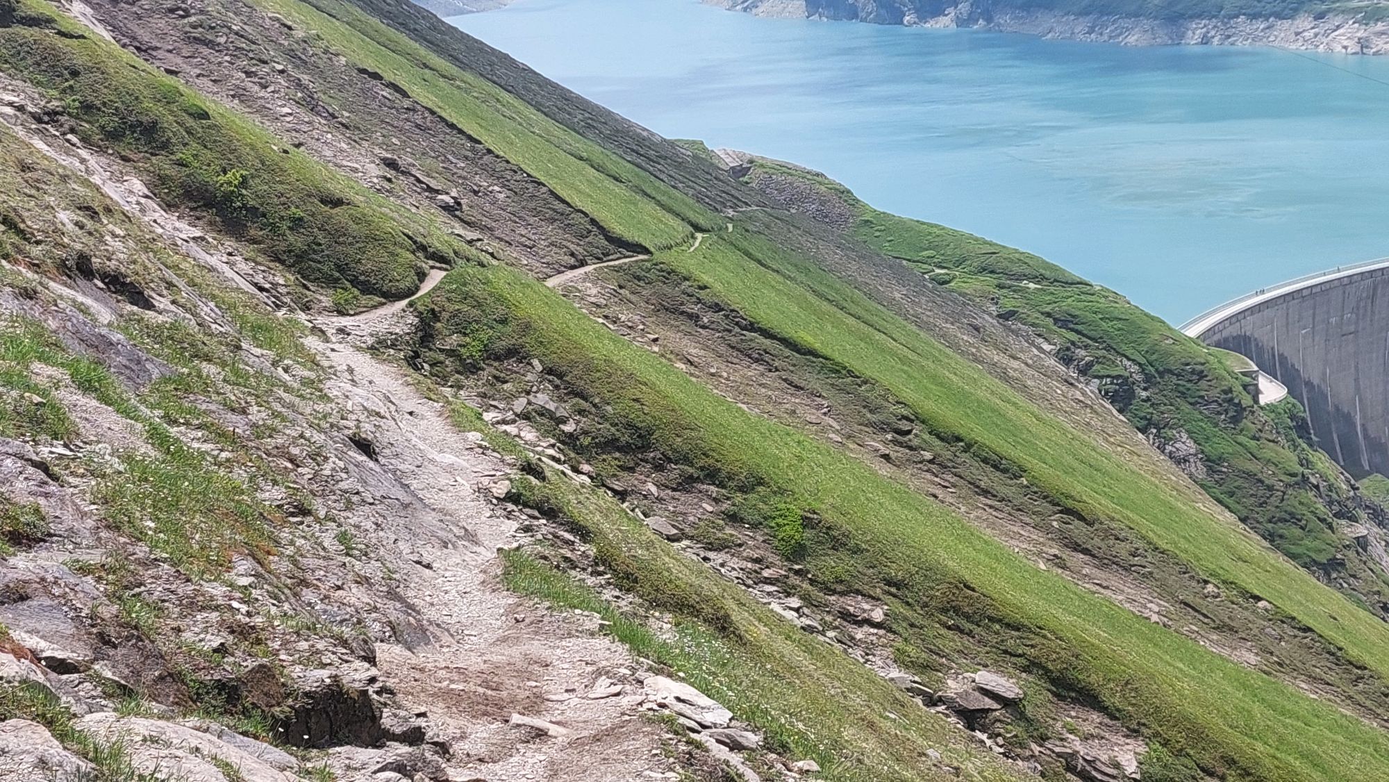
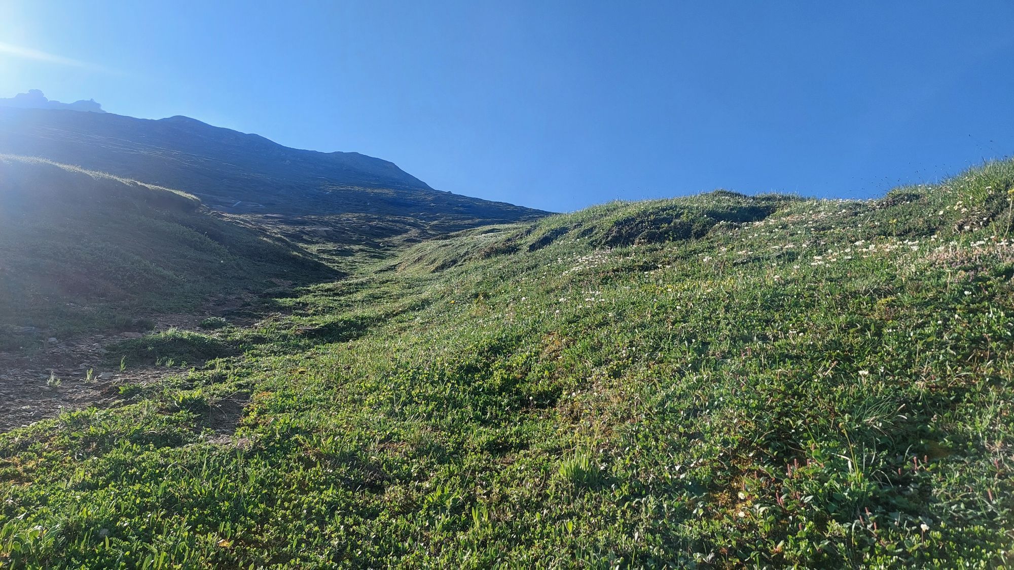
Der Anstieg beginnt beim Mooserboden, führt über die imposanten Sperren und entlang des Hangkanals bis zur Wielinger Bachfassung. Über steile Bergwiesen und zahlreiche Serpentinen gelangt man durch felsiges Gelände in die Bratschen und weiter zum Kempsenkopf. Von dort teilt sich der Weg – entweder Richtung Gleiwitzer Hütte oder über den Grat zum Gipfel des Hohen Tenn.
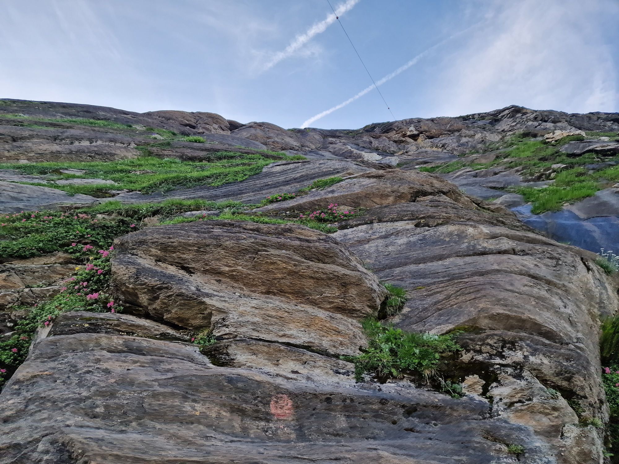
Der Übergang zum Hohen Tenn ist technisch anspruchsvoll (III–V Schwierigkeitsgrad), teilweise stark ausgesetzt und nur bei stabiler Witterung begehbar. Die schwierigsten Stellen sind mit Fixseilen gesichert.
Der Abstieg erfolgt über die obere und untere Jägerscharte hinunter zur Gleiwitzer Hütte. Bei Schlechtwetter ist der Weg gefährlich und sollte keinesfalls unterschätzt werden.

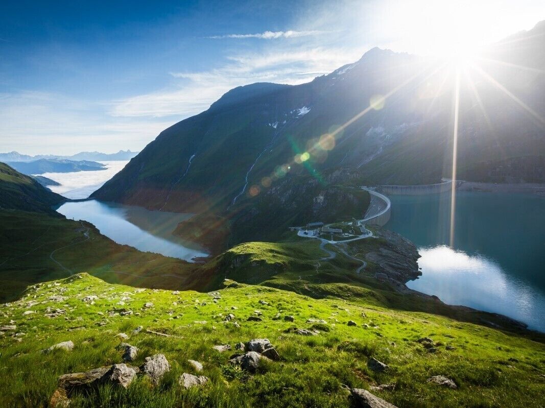
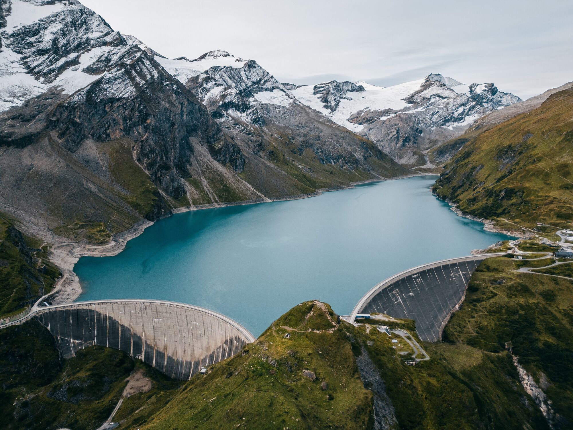

the Hang Canals and ascend up past the Wielinger catchment area before descending about 50 m just before the catchment area.
Now make your way climbing up through mountain pastures to the Hauseben. From here continue rising in windings up to the Bratschen to the Kempsenkopf (difficult stages safe-guarded with a rope). From here the path forks, leading in one direction to the
Gleiwitzer Hütte and in the other to the summit climb of the Hohen Tenn.
The ascent up to the Hohen Tenn (3,317 m) proceeds over the ridge to the Bauernbrachkopf (3,125 m) and then continues to the Kleinen Tenn (key point) and from here over the ridge to the Schneetenn. The ascent is graded between levels 3 and 4, depending on the weather situation, and is very exposed in places. The more difficult stages are safe-guarded with fixed ropes. Should only be undertaken by those with good alpine experience or in the company of a mountain guide. To descend to the Gleiwitzer Hütte (2,174 m), make your way from the Kempsenkopf over the ridge to the upper Jägerscharte, over a peaked point to the lower Jägerscharte and continue over grazing land to the Gleiwitzer Hütte.
This route is also very exposed in places and care is needed, especially in bad weather conditions (only for the sure-footed). The more difficult stages are safe-guarded with a fixed rope.
The more difficult stages are safe-guarded with fixed ropes. Should only be undertaken by those with good alpine experience or in the company of a mountain guide.
Mit dem Bus 660 zum Talschluss Kesselfall -> danach mit den Shuttlebussen weiter.
Bei Nässe, wenn der Fels rutschig werden kann, kann die Verwendung eines Klettersteig-Sets durchaus sinnvoll sein.
 Hol dir den Einblick Immer live vor Ort mit über 9.500 Webcams. In der Touren App von bergfex siehst du als Pro-User jetzt zu vielen Touren die passenden Webcams. So kannst du dir direkt die aktuellen Bedingungen ansehen.
Beliebte Touren in der Nähe
- 4,8
Sigmund Thun Klamm, Klammsee, Bürgkogel
leichtWanderung 4,56 km - 4,1
Gletscherweg zur Pasterze mit Gamsgrubenweg (bis Tunnel 6)
mittelWanderung 8,05 km - 4,9
Hochsonnberg Runde
mittelMountainbike 59,8 km - 4,4
Sigmund Thun Klamm
leichtWanderung 3,10 km - 4,9
Kaiser-Franz-Josefs-Höhe zur Oberwalderhütte
schwerWanderung 5,52 km - 4,9
Großes Wiesbachhorn 3564 mnv Kaprun, Austrija
schwerWanderung 13,4 km - 3,9
Großglockner Hochalpenstrasse
schwerRadfahren 20,2 km - 4,6
3 Oktober Fusch Walcher Grung und Hohalm
mittelWanderung 8,57 km - 4,4
Spielmann
mittelWanderung 9,48 km - 4,3
Fusch: 727 | Natur-Erlebnisweg Käfertal
leichtWanderung 5,95 km
Wandern & Tracking


Verpasse keine Angebote und Inspirationen für deinen nächsten Urlaub
Deine E-Mail-Adresse wurde in den Verteiler eingetragen.





