


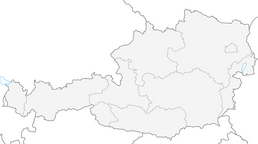


Hochalmspitze Tour
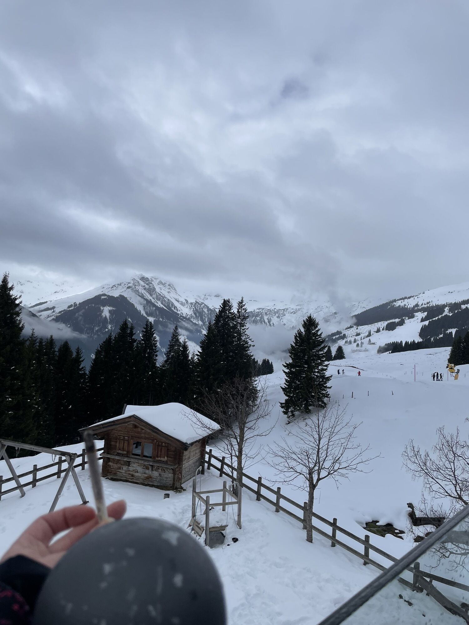
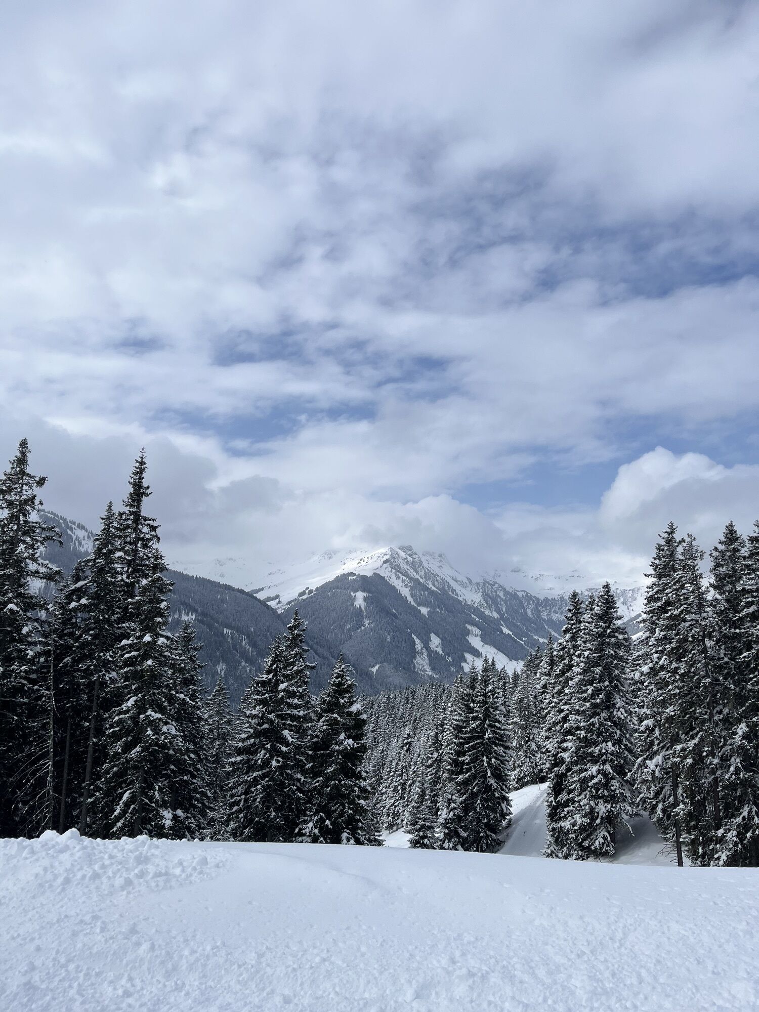
A lovely scenic route, well marked and with a nice rounded summit. Ski down is not too tricky there are quite a few lines to take which you can spot on the way up. Most are between 100 and 300m from a...
A lovely scenic route, well marked and with a nice rounded summit. Ski down is not too tricky there are quite a few lines to take which you can spot on the way up. Most are between 100 and 300m from a piste if you get a snag.

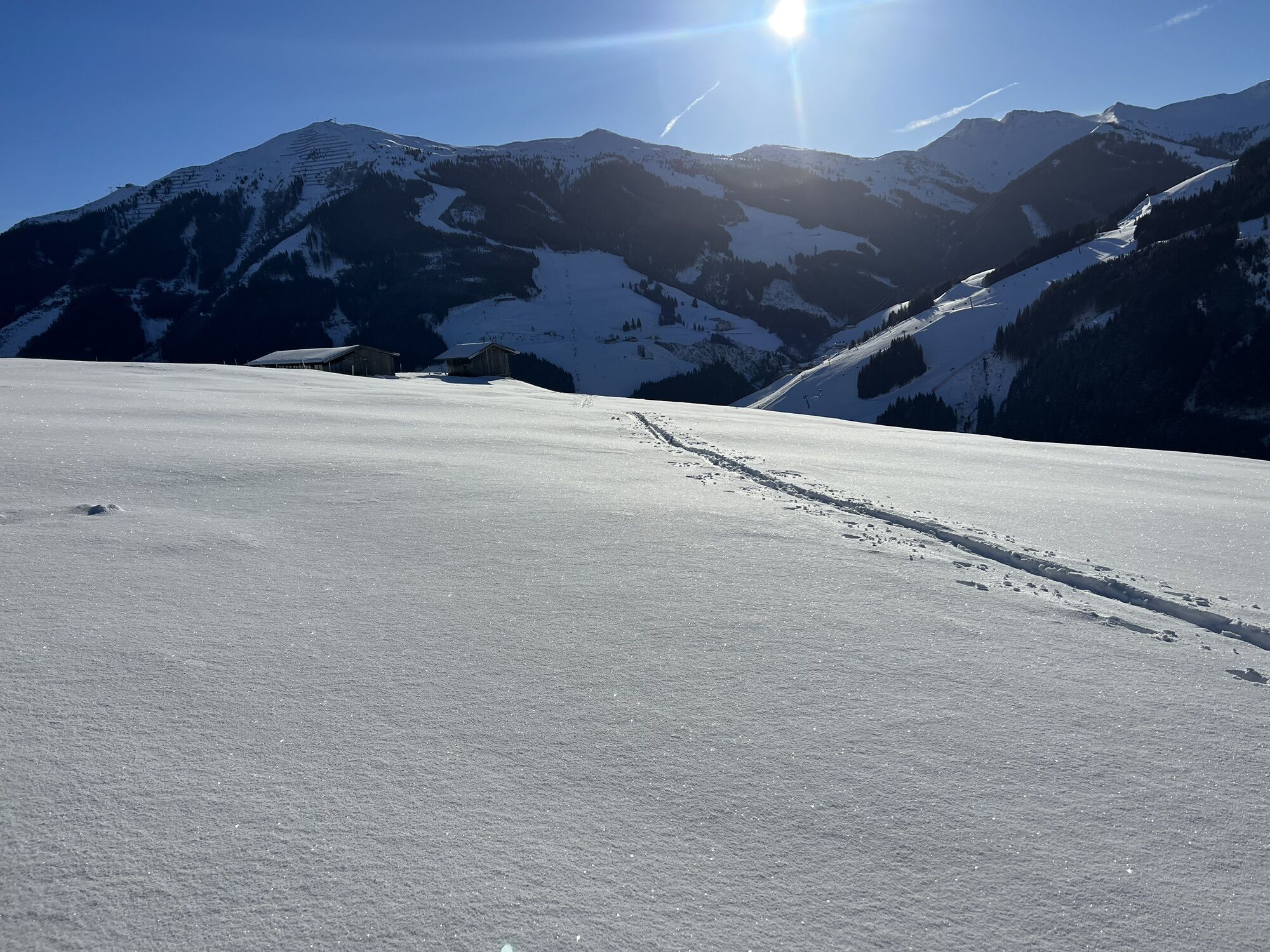
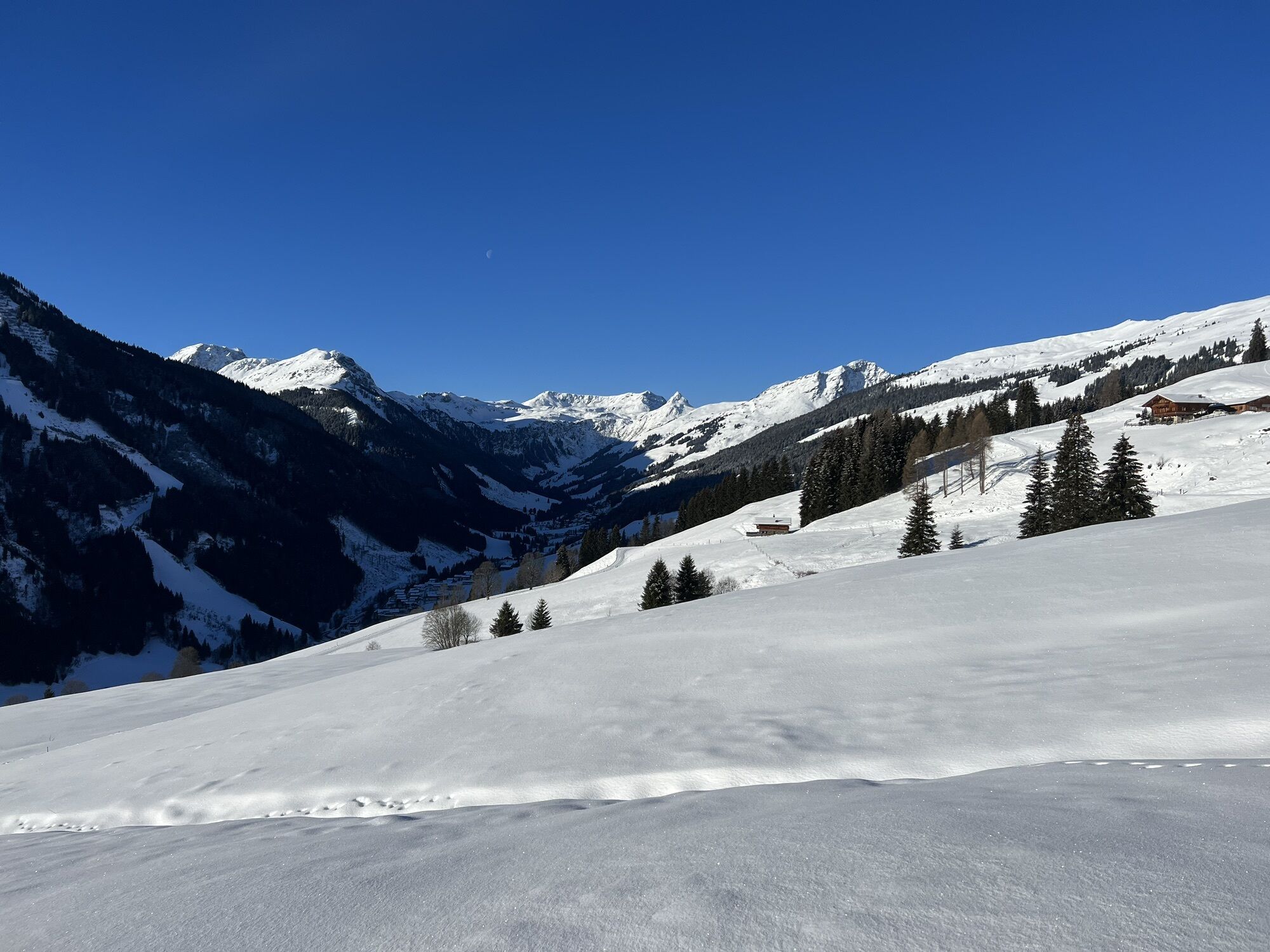
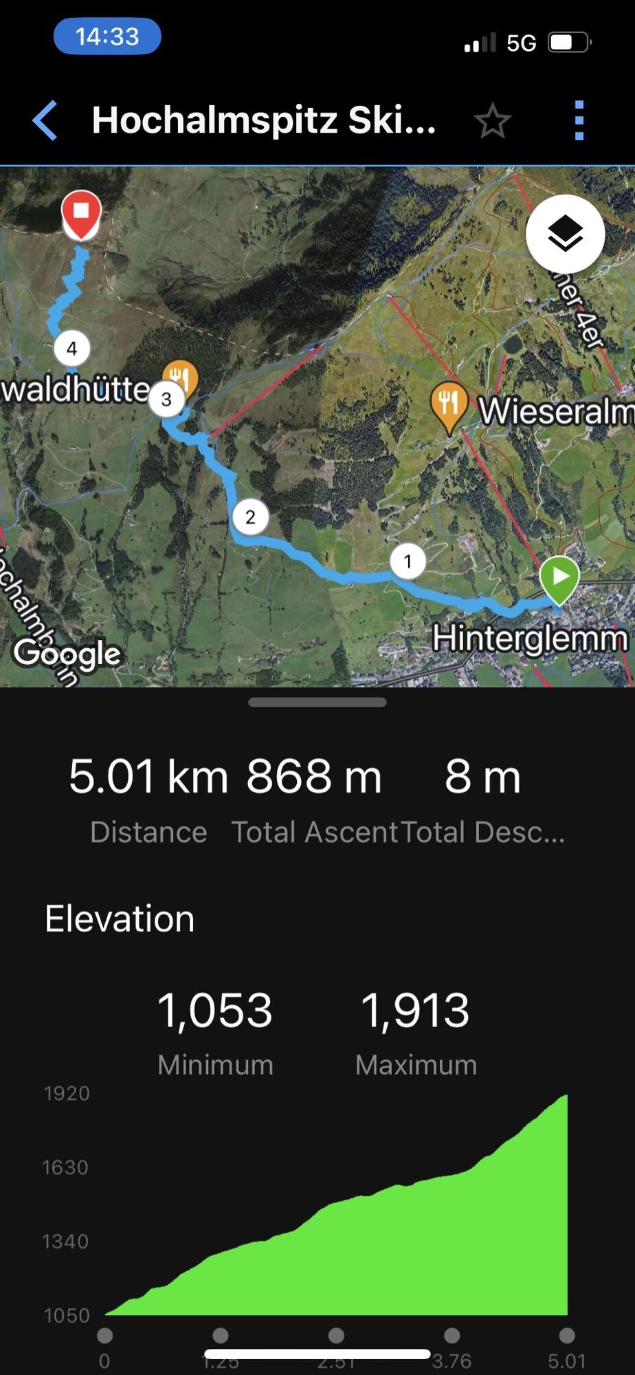
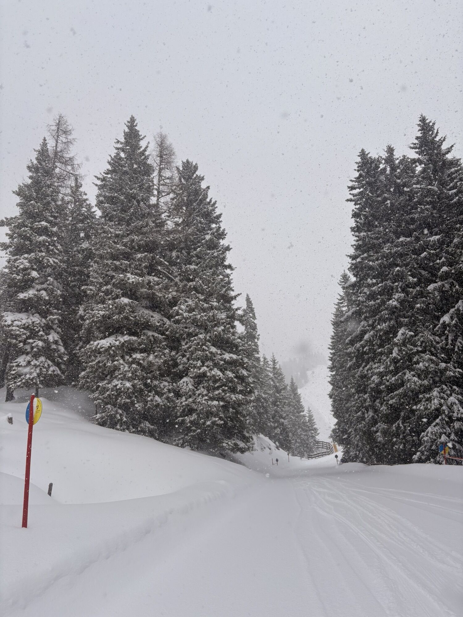
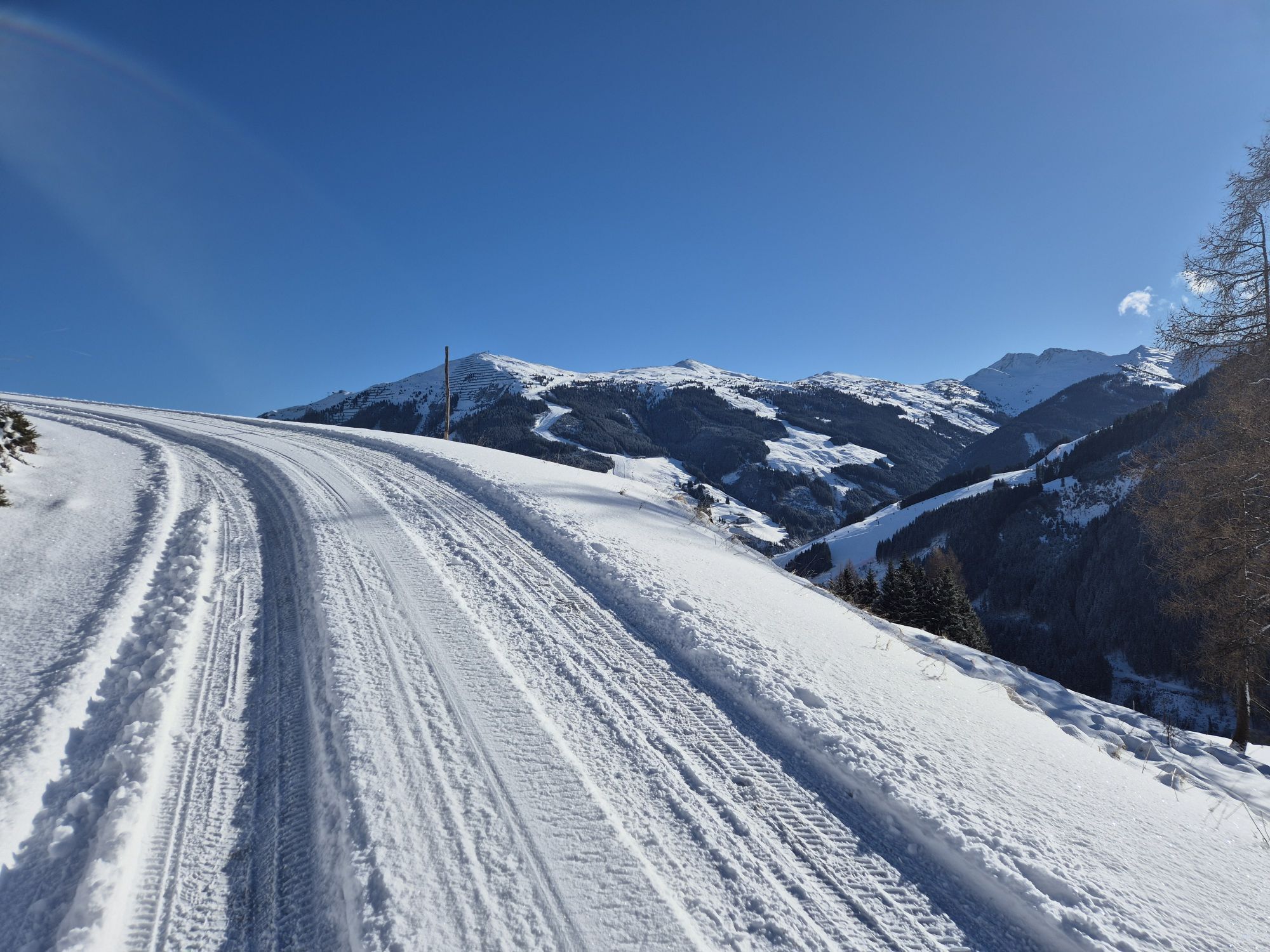
Start at Reiterkogelbahn and take post until the turn off for the ski route. Travel diagonally across the lovely slopes passing 2 farms before reaching a road to the Rosswaldhütte for a break if required. Follow the piste uphill until the end of the woods, then turn right and make your way to the summit. If the snow is too deep or resistant to smooth travel then I recommend going up the blue slope and at the little col turn right taking the ridge line.
Normal day tour kit, no crampons taken.
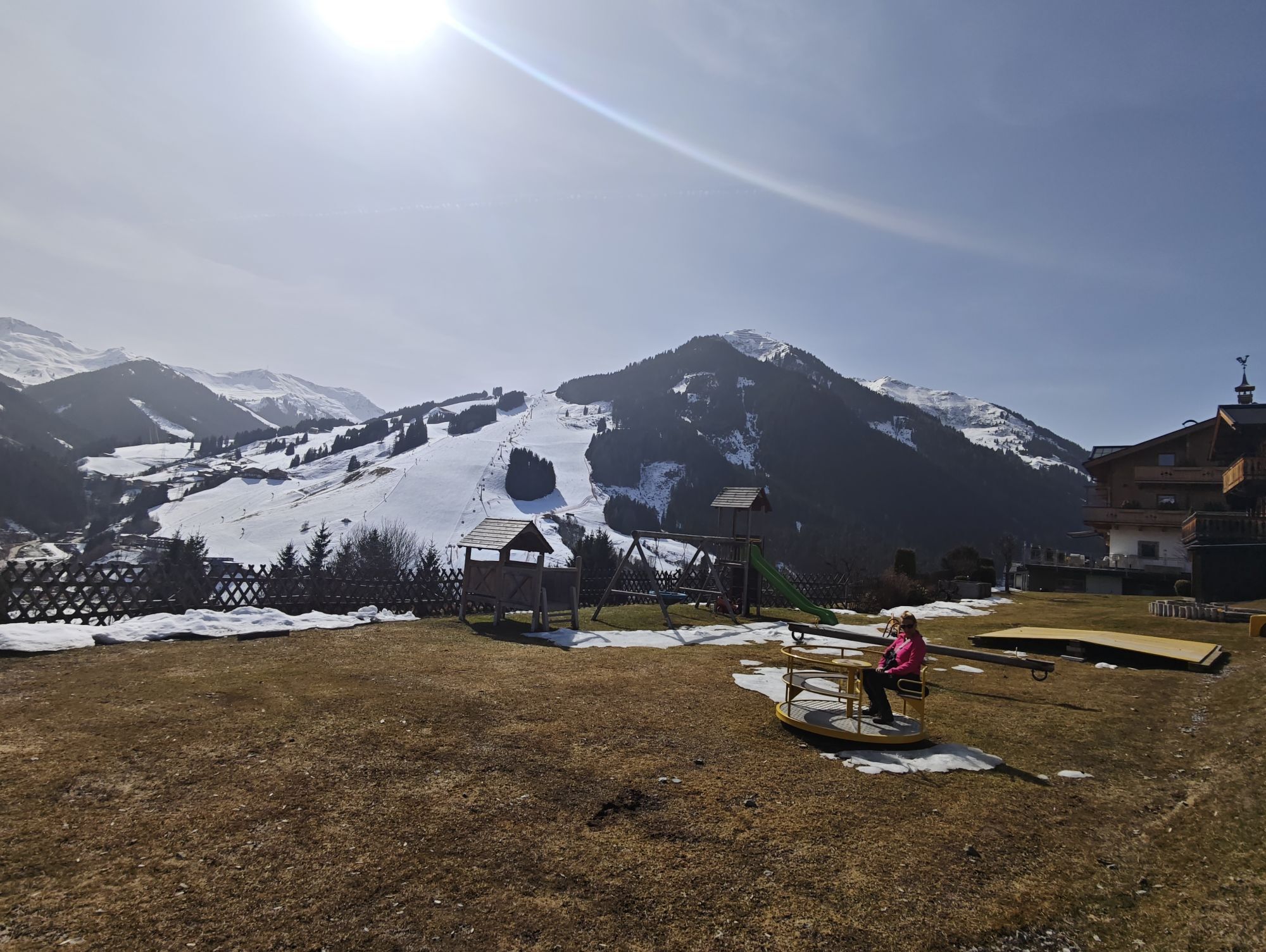
Reiterkogelbahn in Hinterglemm
Bus
Payable at car park 100m away
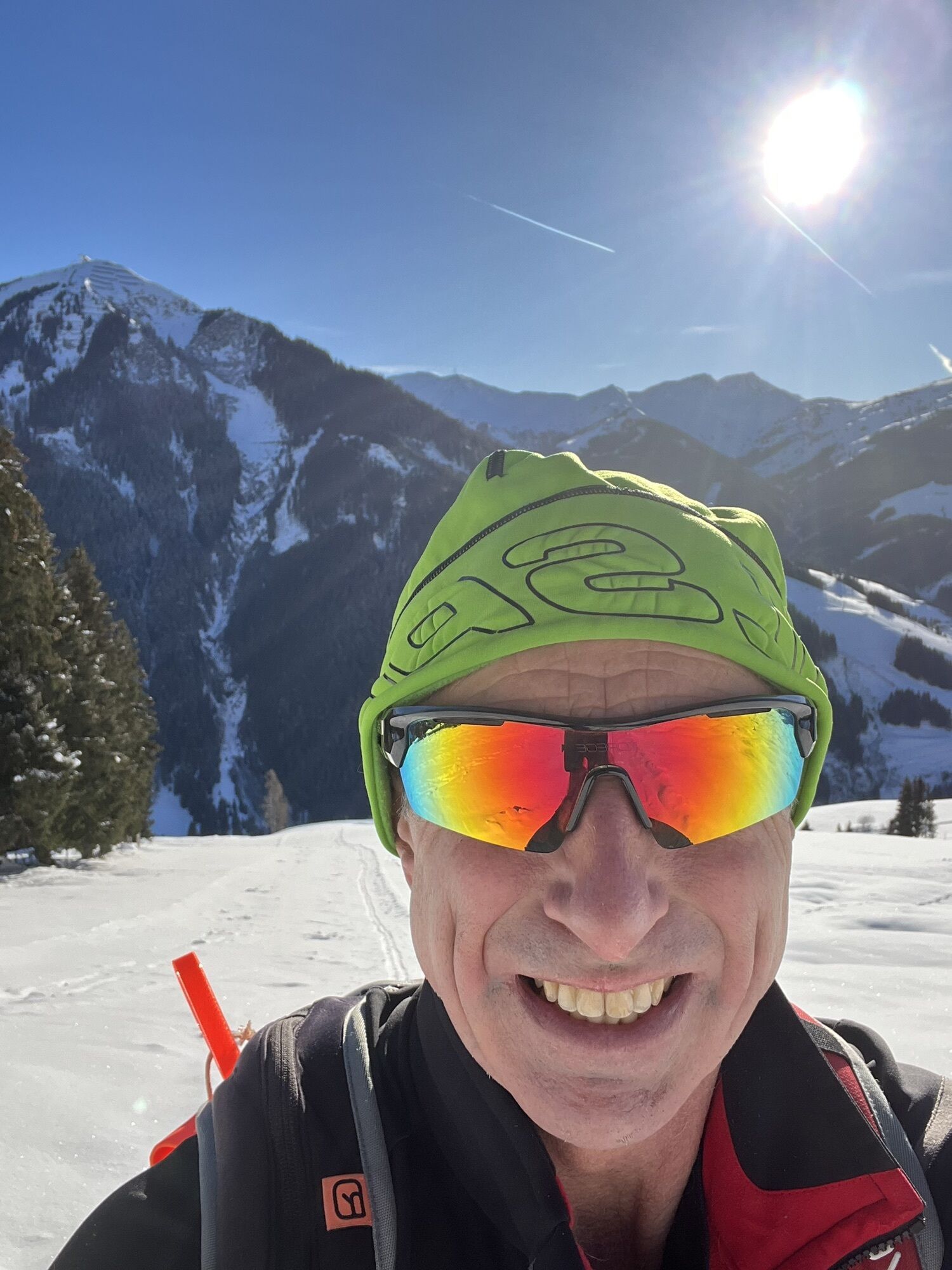
The last 200m is a bit tiring, take your time, and enjoy the view.
Webcams der Tour
Beliebte Touren in der Nähe
- 4,0
Maurerkogel (Top)
Wanderung 10,5 km - 4,0
Berg der Sinne
leichtWanderung 4,39 km - 5,0
Panoramatour 3 Gipfel und 2 Seen
mittelWanderung 7,35 km - 5,0
Leos Spielewanderweg
leichtThemenweg 4,89 km - 4,7
Tristkogel
schwerWanderung 15,6 km - 4,2
Saalachtaler Höhenweg OST (Asitz - Biberg)
mittelWanderung 13,1 km - 4,5
Kitzbüheler Horn über Horn-Gipfel-Höhenweg
mittelThemenweg 5,30 km - 4,6
Kitz Bhf- Kitzbühler Horn und zurück zum Alpenhaus
mittelWanderung 11,8 km - 4,9
Manlitzkogel
schwerWanderung 13,4 km - 4,2
Spielbergalmen
mittelWanderung 10 km
Wandern & Tracking


Verpasse keine Angebote und Inspirationen für deinen nächsten Urlaub
Deine E-Mail-Adresse wurde in den Verteiler eingetragen.