






Playground tour through the city of Görlitz
Discover the city of Görlitz with your children in a different way and explore the many playgrounds in the city centre. The tour offers something special for every age group and takes you through the inner...
Discover the city of Görlitz with your children in a different way and explore the many playgrounds in the city centre. The tour offers something special for every age group and takes you through the inner city of Görlitz.
During the tour you can explore the following playgrounds: playground Lutherplatz, playground Sonnenhof, playground Jochmannstraße, playground Wilhelmsplatz, playground Sattigstraße, playground Sechsstädteplatz, playground August-Bebel-Platz, playground Kreuzkirchenpark and playground park railway Görlitz
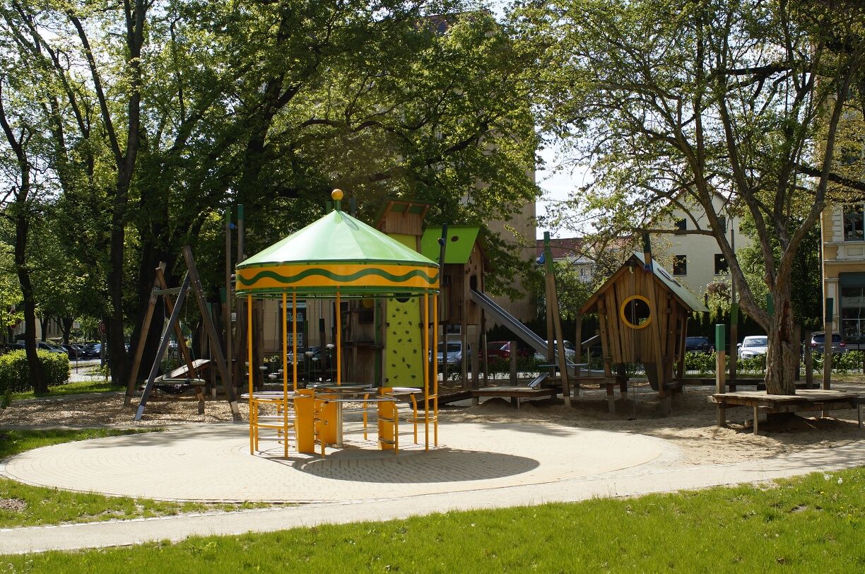
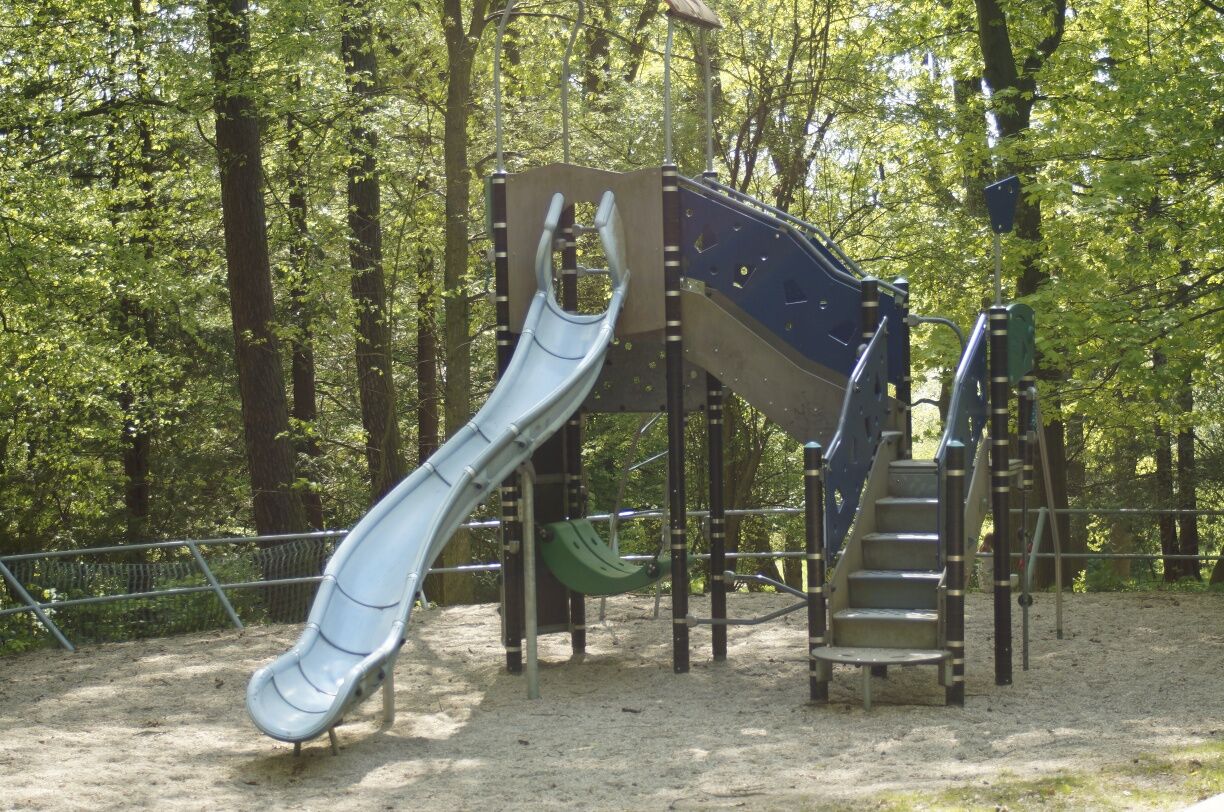
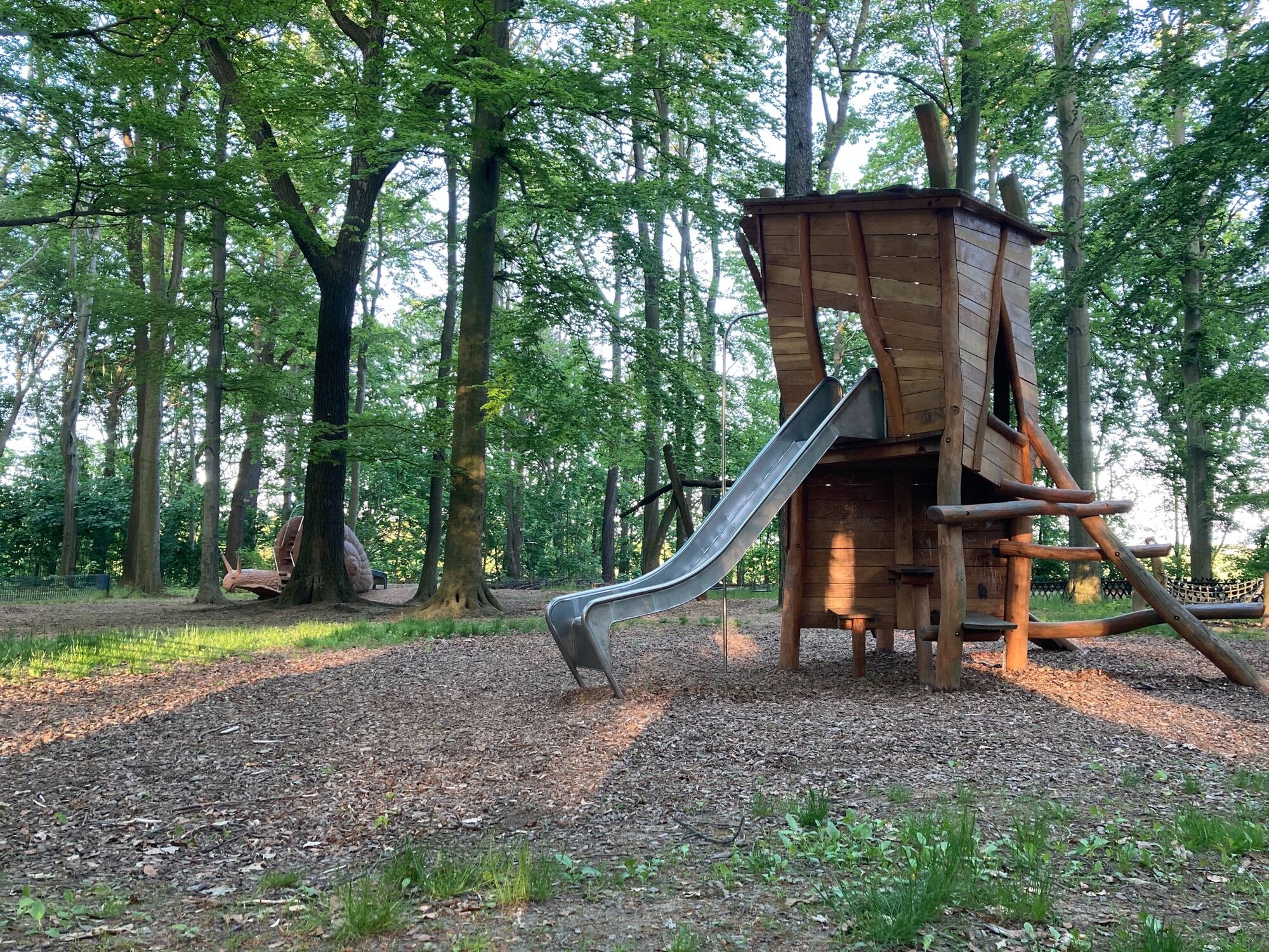
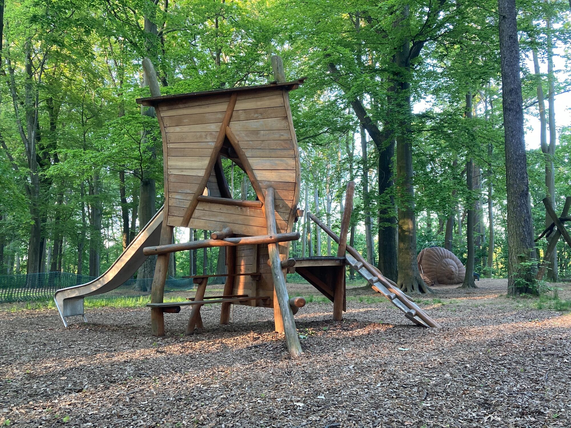
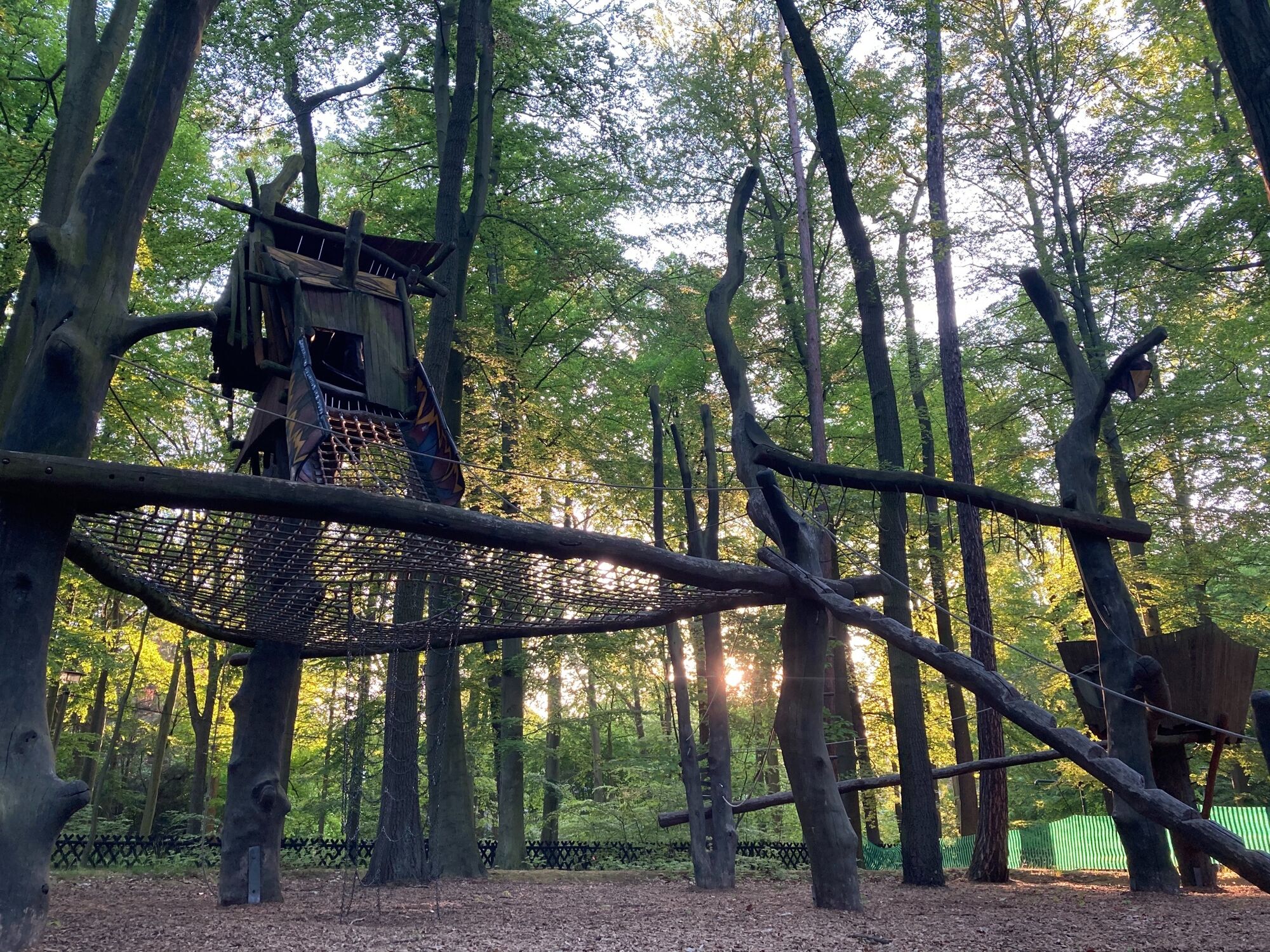
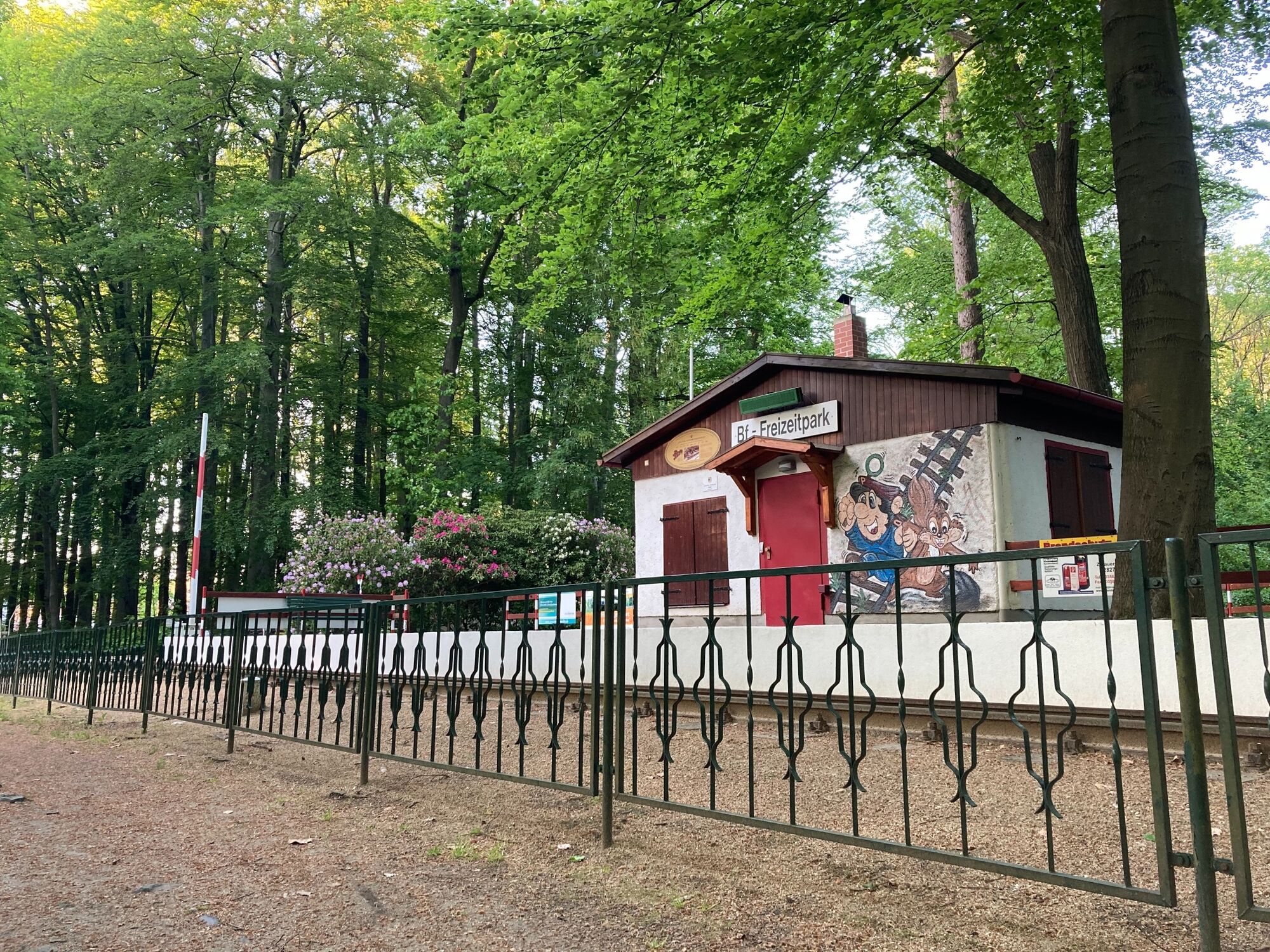
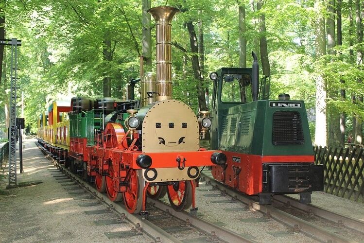
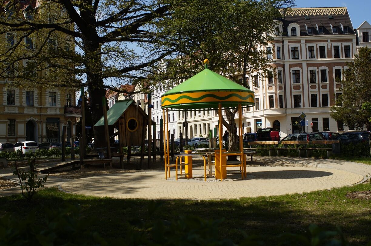
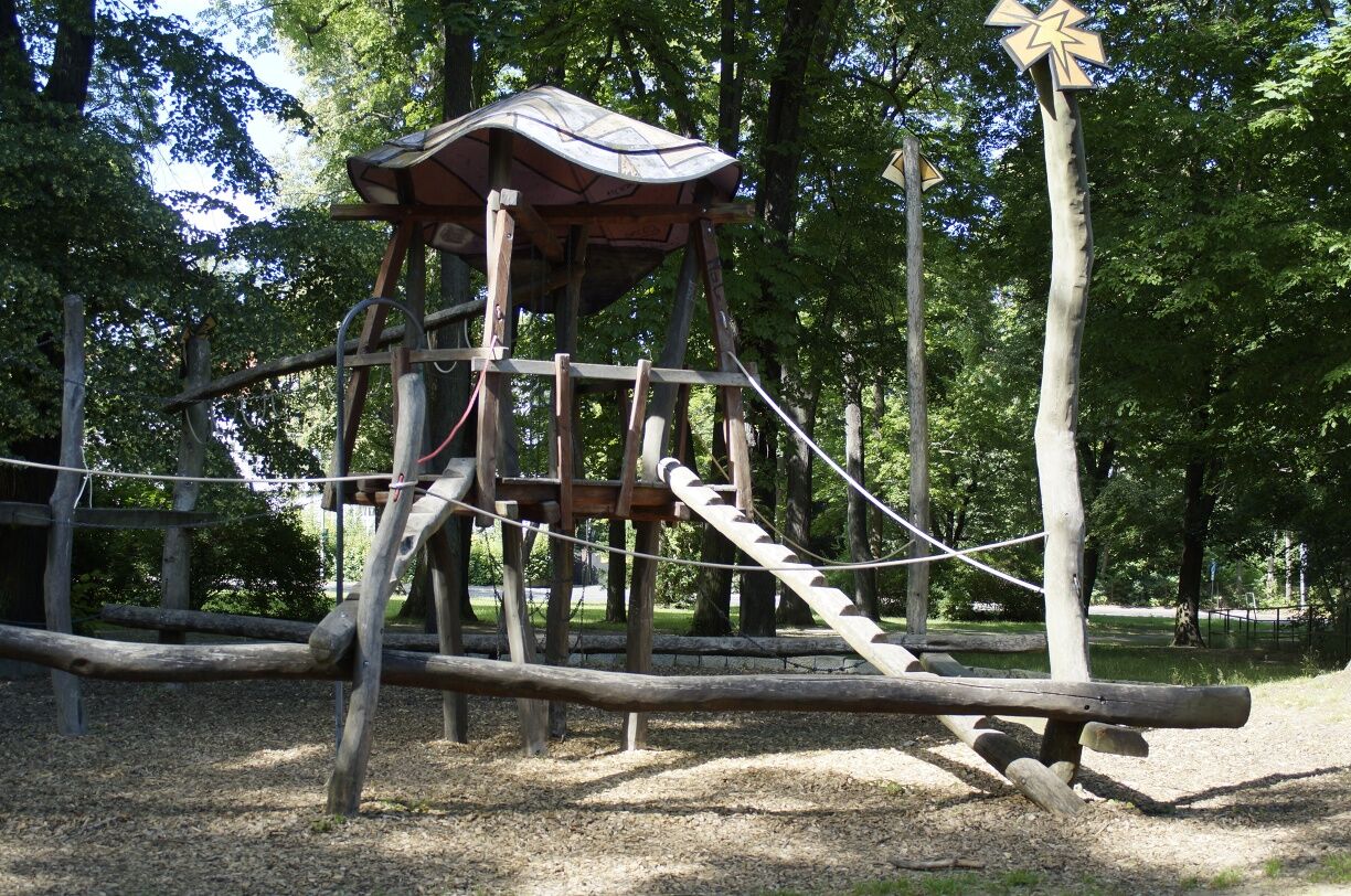
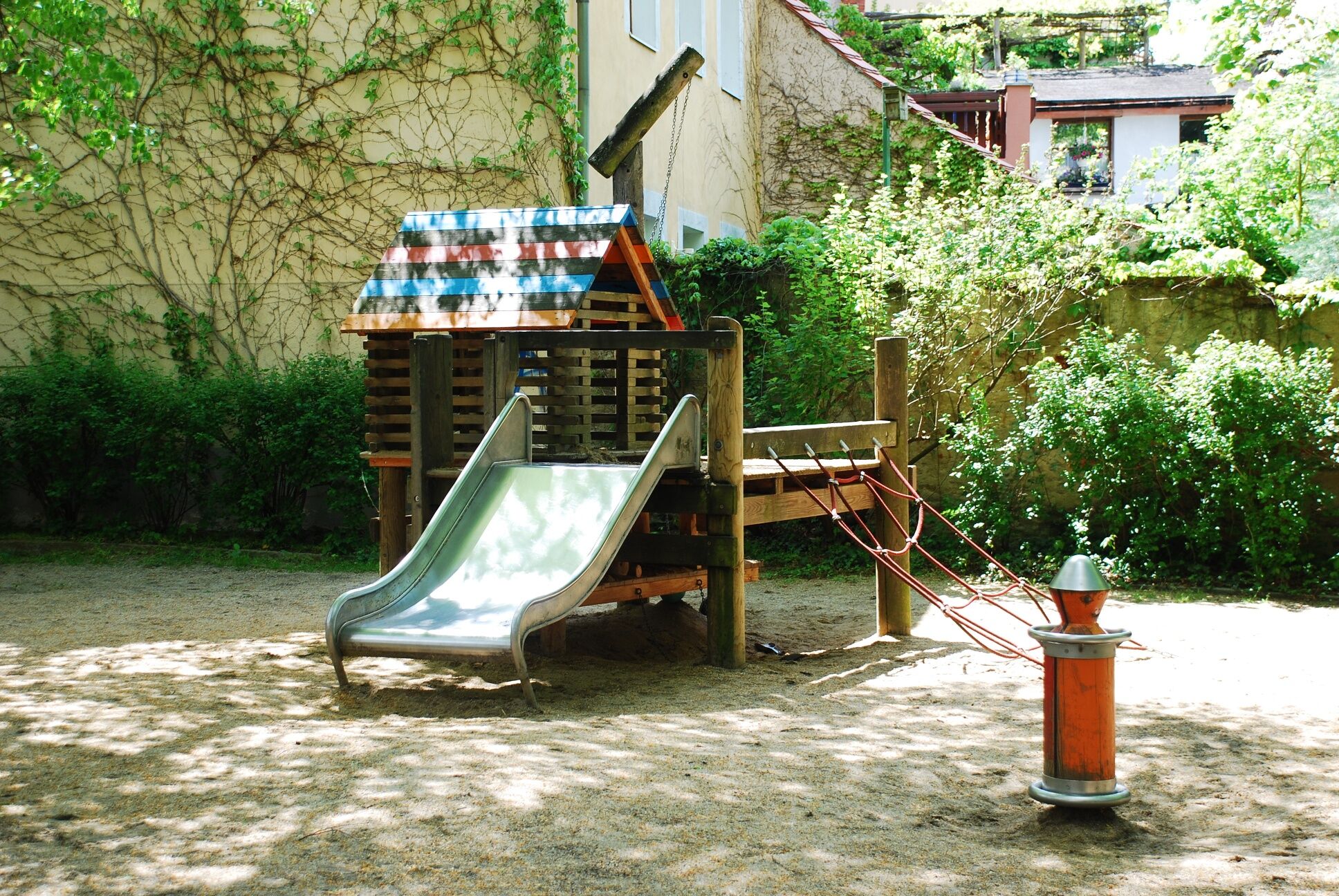
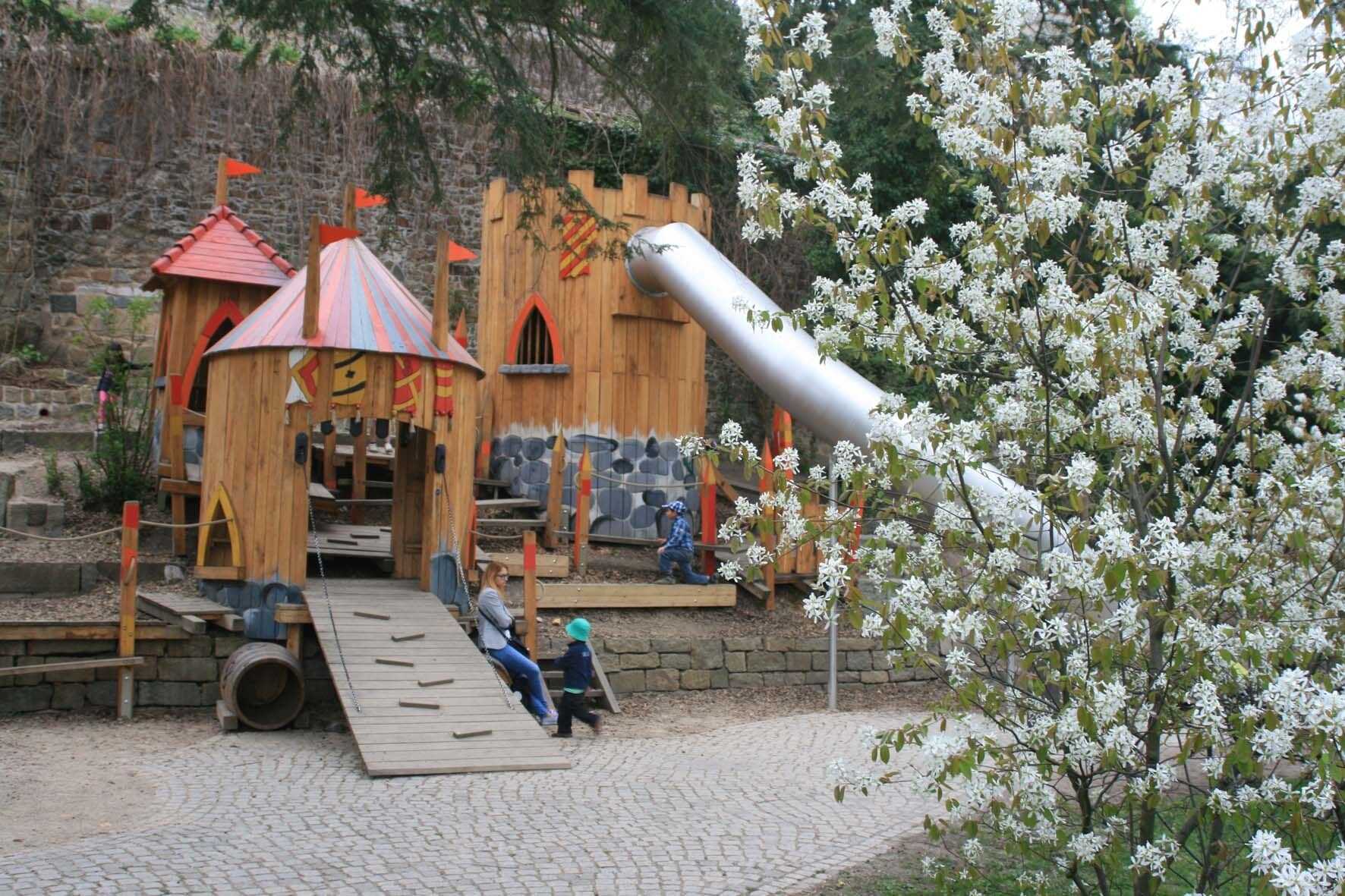
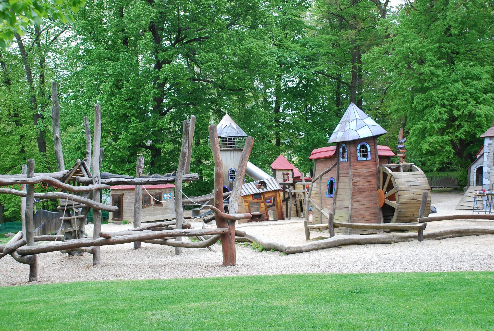
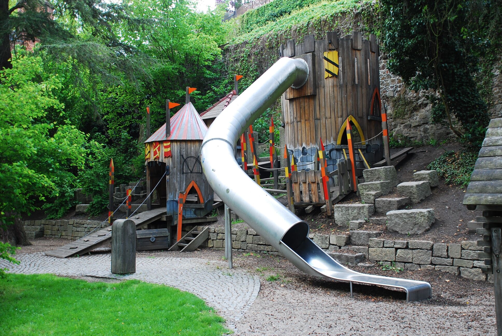
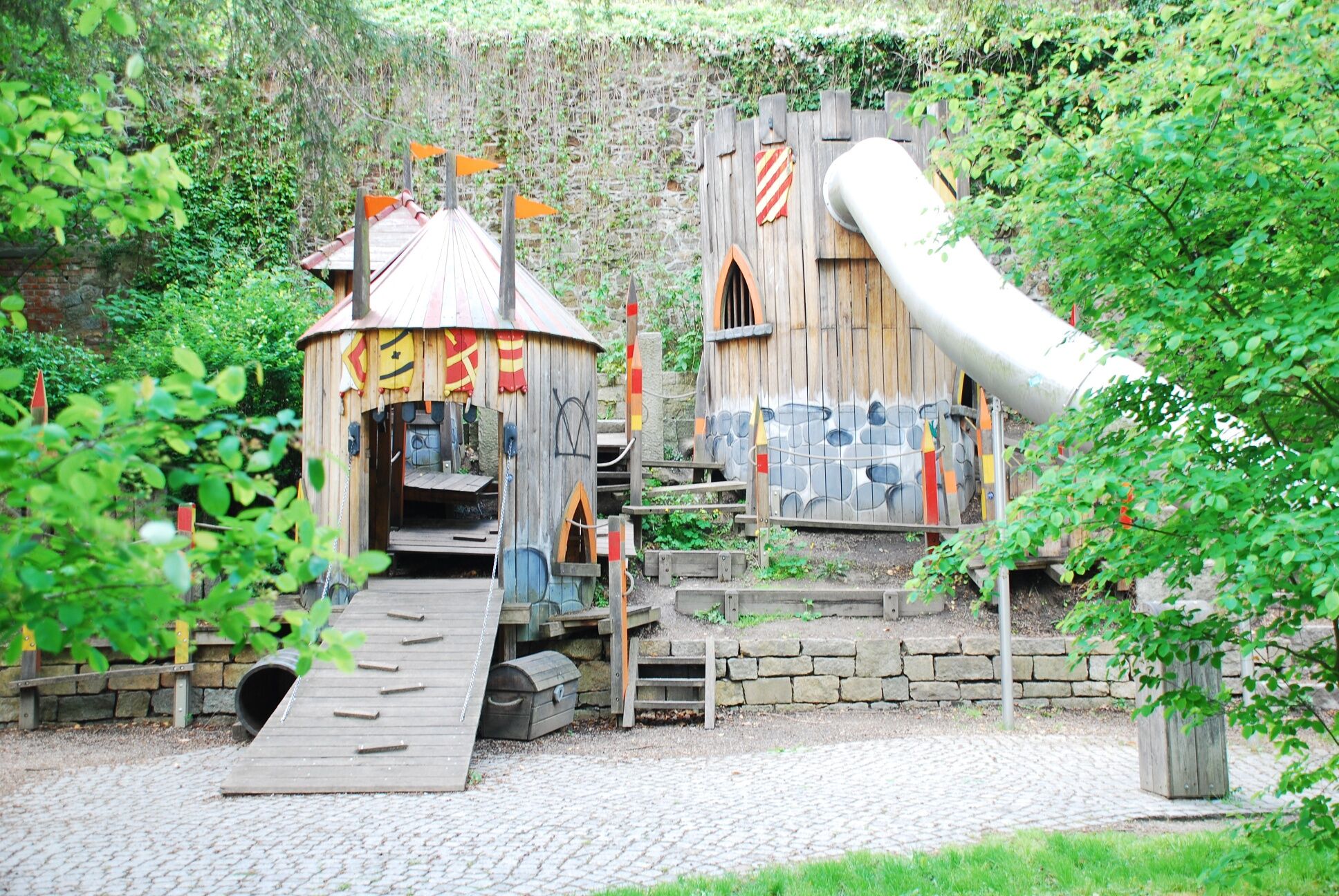

The tour starts at the playground at Lutherplatz. There are a lot of play structures and also a trampoline. Walk via Hospitalstraße to Jakobstraße. A small playground is located here at the eastern end of Wilhelmsplatz, too. Continue walking along Jakobstraße in the direction of the railway station to the Jakobstunnel.
Next stop is Sattigplatz. Here you will find many play structures and a huge slide, too. From here the next playground is less than 10 minutes away via Kunnerwitzer Straße. At Sechsstädteplatz there are swings and tepees. The tour follows the rails of the tram to August-Bebel-Straße where many play structures can be find. Continue walking along Arndtstraße to reach the playground in Kreuzkirchenpark. From here it is a 20-minute walk via Reuterstraße, Eichendorffstraße and Holteistraße to the highlight of the whole tour, the Görlitz park railway. A replica of the first German railway "Adler" runs on a circuit of about 700 metres.
e.g. balance bike or scooter for children
Please pay attention to the signs at the playgrounds.
The tour includes some inclines such as Luisenstraße, Berliner Straße and the way to the Görlitz vintage park railway.
You can drive directly to Obermarkt by car.
or
Take tram line 1 or 2 to "Jägerkaserne", walk about 5 minutes via Langenstraße and Breitestraße to the Obermarkt.
For further information: https://www.goerlitztakt.de/de/
Parking with costs is possible at Obermarkt, at parking space Altstadt or in the multi-storey car park of the CityCenter Frauentor.
Along the playground route it is possible to discover interesting sights such as the the nature reserve zoo "Tierpark Görlitz", the Protestant "Lutherkirche" and the Catholic "St. Jakobus Kirche".
Hol dir den Einblick Immer live vor Ort mit über 9.500 Webcams. In der Touren App von bergfex siehst du als Pro-User jetzt zu vielen Touren die passenden Webcams. So kannst du dir direkt die aktuellen Bedingungen ansehen.Beliebte Touren in der Nähe
- 4,3
Königshainer Berge
leichtWanderung 4,48 km Walking-tour around Berzdorf Lake
mittelWanderung 17,5 kmA bicycle tour for families at Berzdorf Lake
leichtRadfahren 15,6 kmVia Sacra Radpilgerroute von Görlitz nach Zittau
mittelRadfahren 42,3 kmBicycle tour along the Oder-Neisse cycle path and around Berzdorf Lake
leichtRadfahren 24,2 kmTour 16: Around Berzdorf Lake (Berzdorfer See)
leichtRadfahren 21,9 kmWalking tour to the Landeskrone near Görlitz
mittelWanderung 1,33 kmA tour through the old town of Görlitz
leichtSpazieren 2,04 kmCulinary discovery tour through the European City of Görlitz/Zgorzelec
leichtRadfahren 6,37 kmGreat Mill Tour along the Schöps and Neisse Rivers
schwerRadfahren 57,5 km
Wandern & Tracking


Verpasse keine Angebote und Inspirationen für deinen nächsten Urlaub
Deine E-Mail-Adresse wurde in den Verteiler eingetragen.





