


Three peaks tour
Fotos unserer User
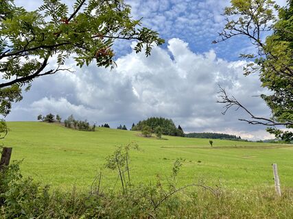
 © berg-wandererErstellt am 17.07.2025
 © Hallunke FrankErstellt am 05.04.2025
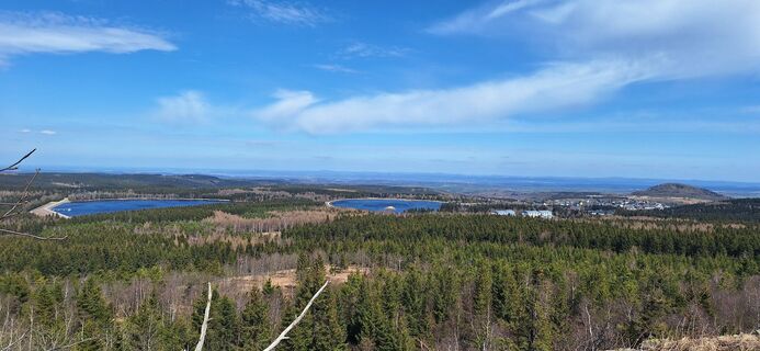 © Hallunke FrankErstellt am 05.04.2025
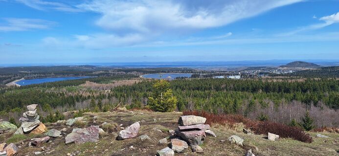 © Hallunke FrankErstellt am 05.04.2025
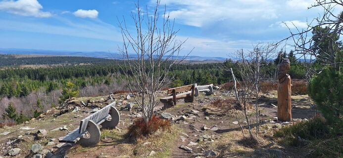 © Hallunke FrankErstellt am 05.04.2025
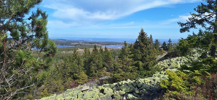 © Hallunke FrankErstellt am 05.04.2025
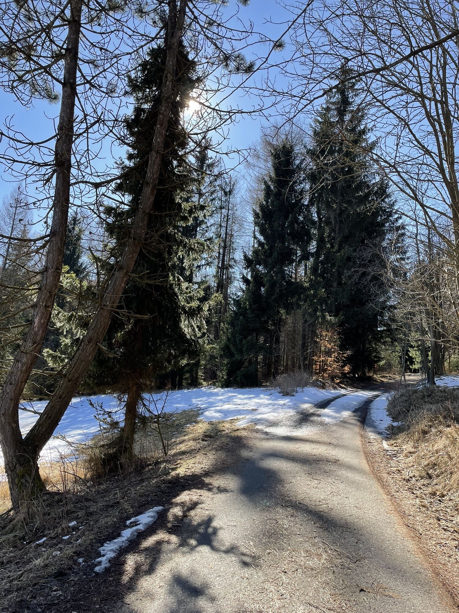
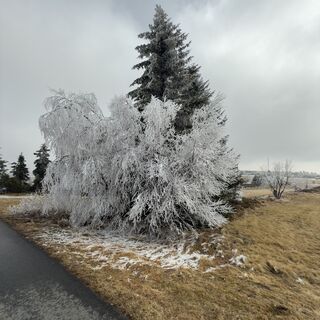
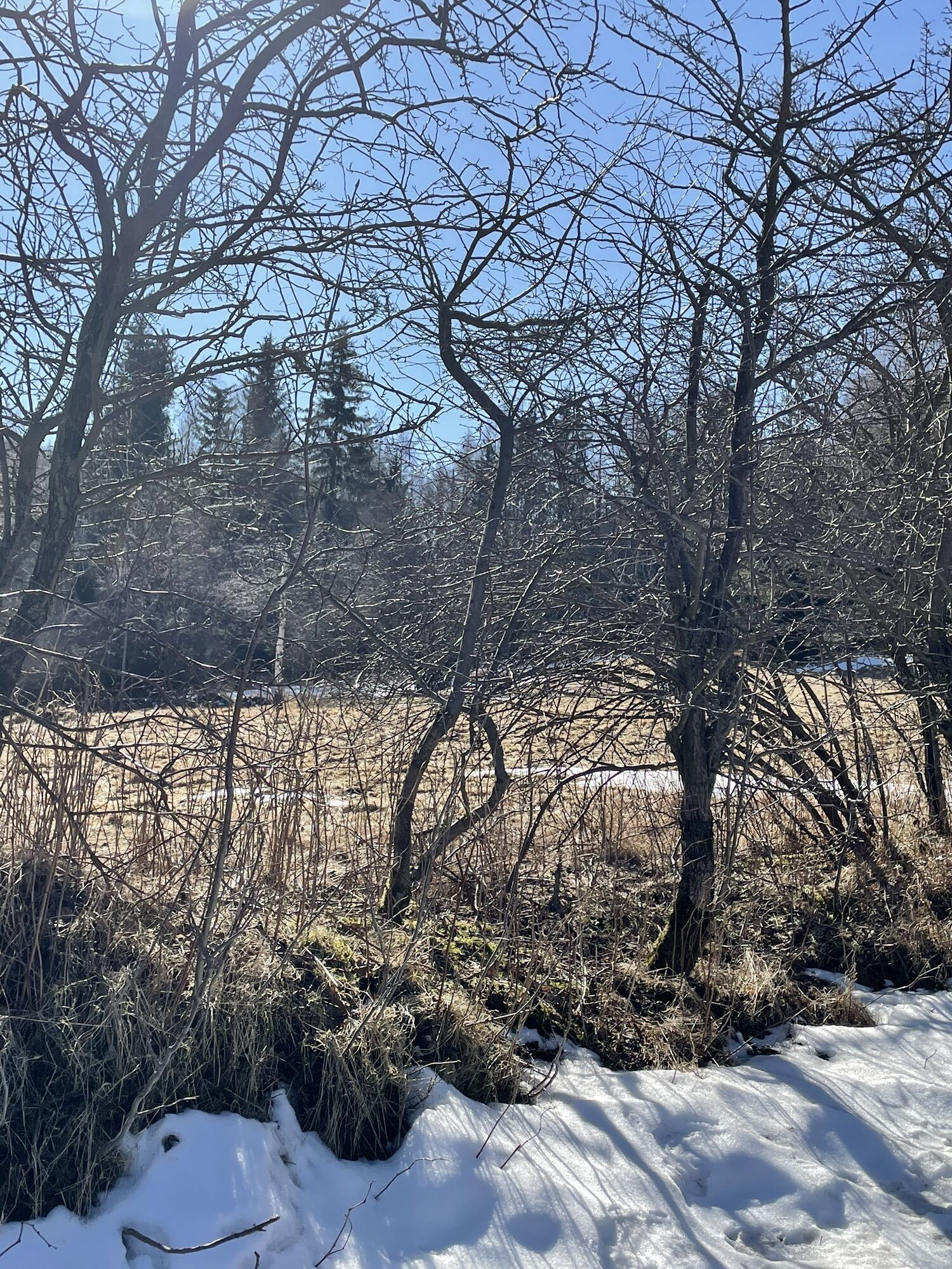
 © Steffen KieselErstellt am 15.03.2025
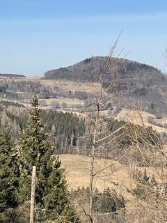 © Ines HeringErstellt am 05.03.2025
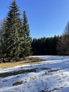 © Ines HeringErstellt am 05.03.2025
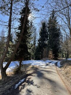 © Ines HeringErstellt am 05.03.2025
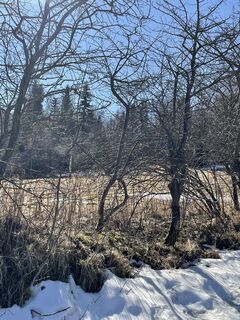 © Ines HeringErstellt am 05.03.2025
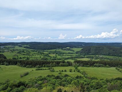
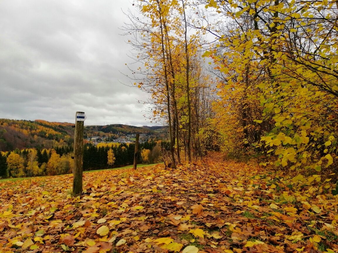
 © hochlandfamilieErstellt am 26.05.2024


The tour starts from Altenberg from the train station. You take the Dippoldiswaldertraße and Neustadtstraße towards Geisingberg. You will walk past the Altenberg Pinge, through meadows where orchids bloom...
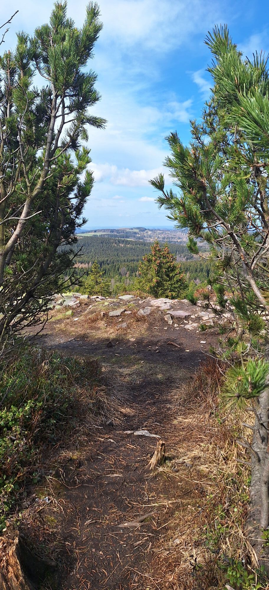
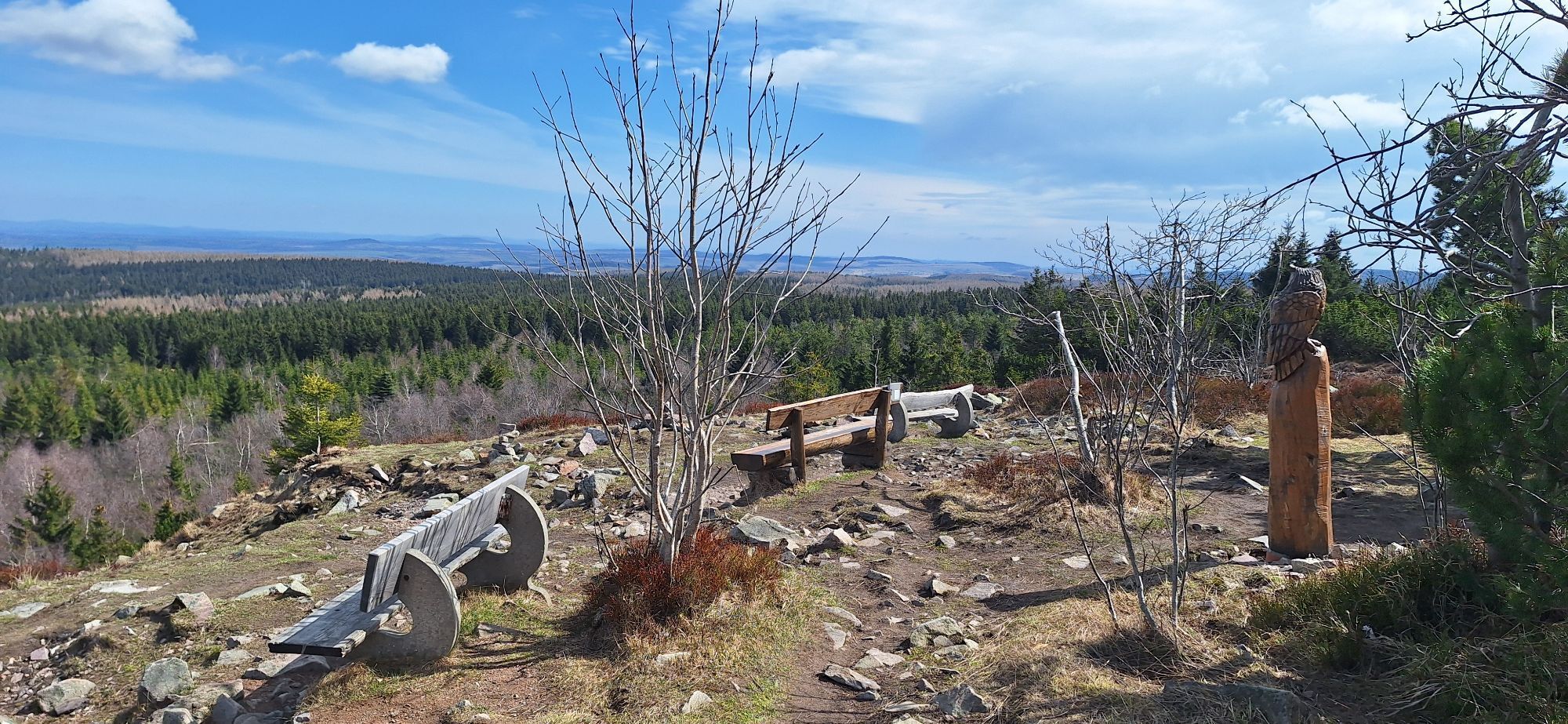
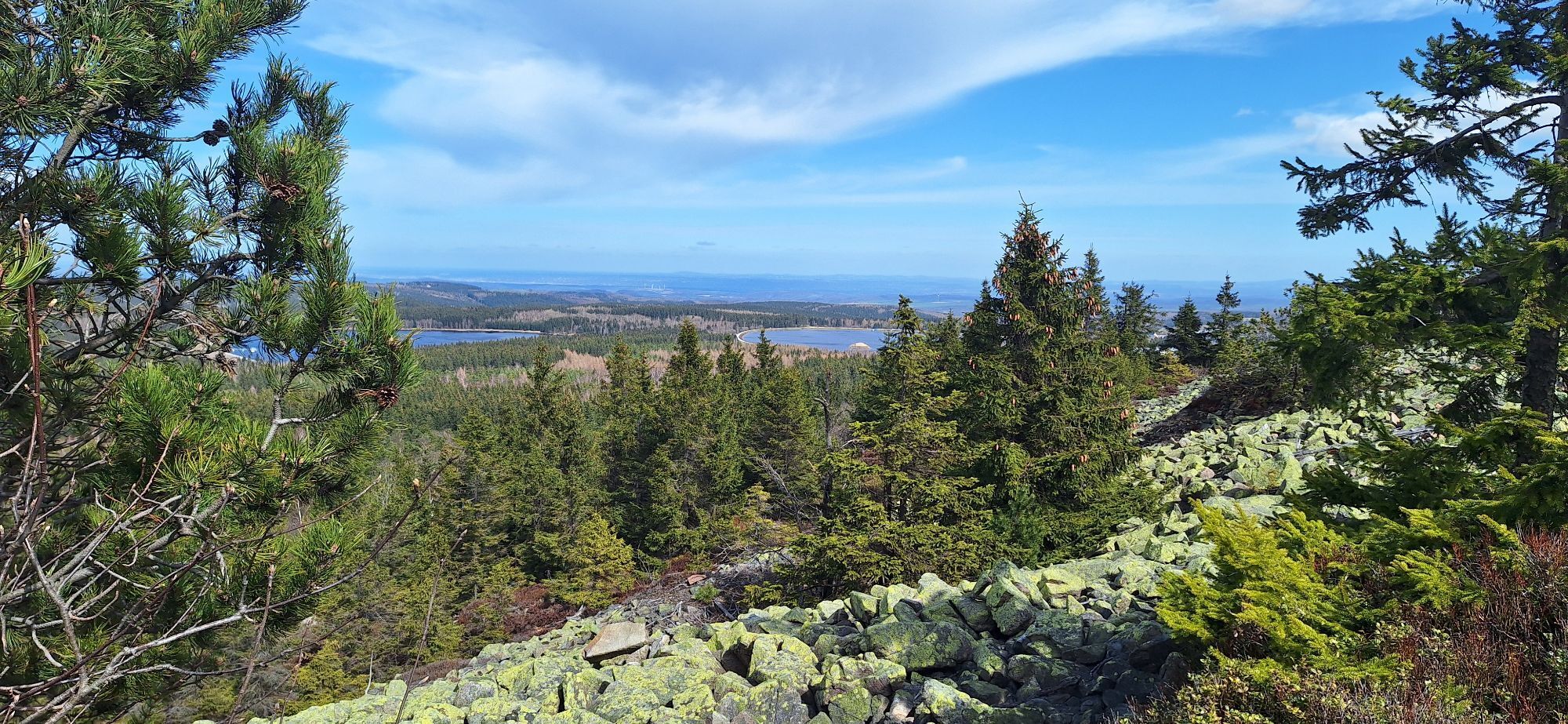
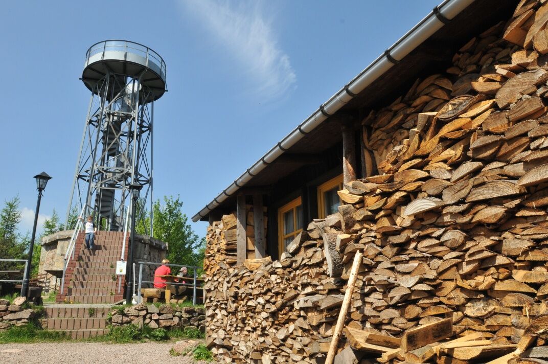
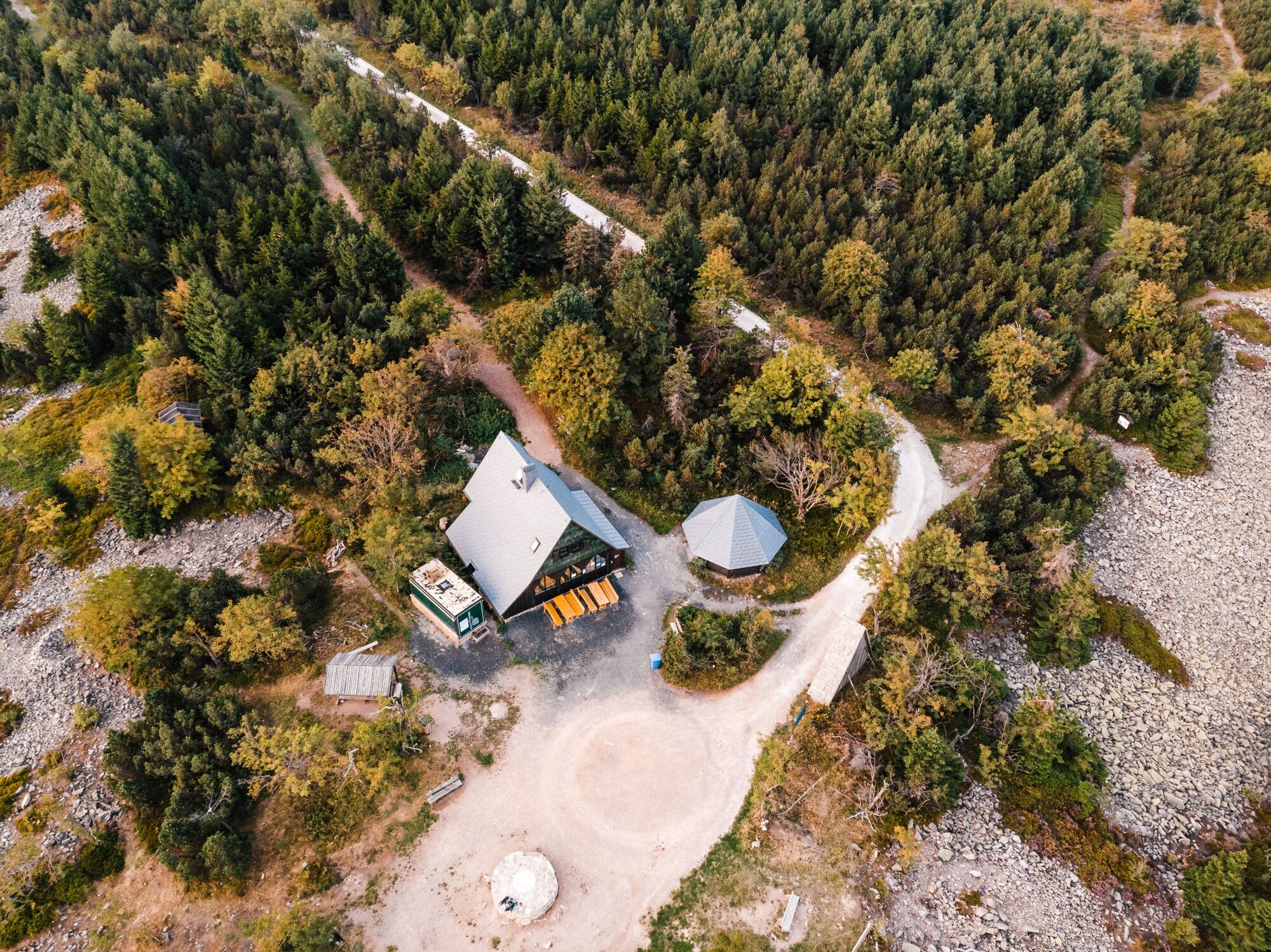
The tour starts from Altenberg from the train station. You take the Dippoldiswaldertraße and Neustadtstraße towards Geisingberg. You will walk past the Altenberg Pinge, through meadows where orchids bloom in spring, to reach the 824 m high Geisingberg. In addition to the mountain hut, you will also find the Louisenturm lookout tower at the top, which offers a panoramic view of the entire recreational area. Afterwards, you head sharply downhill in the direction of Geising. You will pass through the historic centre of Geising, then pass the natural swimming pool Hüttenteich and then climb to the Kohlhaukuppe ( 786 m above sea level ) . At the top there is a mountain hut famous for its garlic specialties and a lookout tower. You will then continue along the German-Czech border towards Zinnwald, which you will cross and head towards the Lugsteins - red-coloured rocks with a short detour leading to them. You then continue along the "Schneise 30" path and reach the famous peak with a beautiful view, the Kahleberg ( 905 m above sea level ). The route then continues along the path called "I-Flügel" and "Alten Zaunhäuser Weg" to Altenberg, where this beautiful hike ends.

Altenberg - Dippoldiswalder Straße - Neustadtstraße - Geisingberg - KAMMweg Erzgebirge-Vogtland - Geising - Hüttenteich - Kohlhaukuppe - Sommerweg - Zinnwald-Georgenfeld - Lugsteine - Schneise 30 - Kahleberg - I Flügel - Alter Zaunhäuser Weg - Altenberg
Available at the Tourist Information in Altenberg and at the Information Office at the train station / community centre in Kipsdorf.
Solid walking shoes, rain equipment, first aid kit, food and drink, binoculars if needed.
Enjoy the natureAllow the inhabitants of the forest to sleep peacefullyProtect plants and animalsKeep escape routes accessibleUse the parking lotsDon't leave trash behindBe respectful towards other peoplePrevent forest firesPay attention to the forestry worksBe aware of and accept closuresBe careful and cautious
B170 - Dresden - Dippoldiswalde - Altenberg / Teplice - Dubi - Zinnwald-Georgenfeld – Altenberg
Bus: Line 360 from Dresden Hbf, Line 398 from Teplice
You can park your car in the car park behind the train station.
All three peaks give you the opportunity to stop for refreshments. You can also enjoy a remote view of the Ore Mountains, the Bohemian Plateau and even the Dresden Valley.
Beliebte Touren in der Nähe
Oberbärenburg- Tellkoppe- Ausichtsturm, Deutschland Altenberg im Erzgebirge, Deutschland
leichtWanderung 8,08 km- 3,0
Kahleberg-Geisingberg-Scharspitze-Biwakkuppe, Deutschland Altenberg im Erzgebirge, Deutschland
mittelWanderung 14,6 km Trebnitzgrund zum geniessen (Glashütte)
mittelWanderung 14,6 kmTrimm-Dich-Pfad Nassau/Erzgebirge
mittelLaufen 3,07 km- 3,0
Wanderung mit Hund und Familie
mittelWanderung 6,86 km Von Český Jiřetín nach Fláje
schwerWanderung 17,3 kmRund um Dlouhá Louka
schwerWanderung 12,8 kmWanderung zum Katzenstein
schwerWanderung 5,68 km- 5,0
Rund um die TS Lehnmühle
leichtWanderung 8,17 km - 4,0
Von Holzhau zum Stropnik
mittelSkitour 27,1 km

Wandern & Tracking


Verpasse keine Angebote und Inspirationen für deinen nächsten Urlaub
Deine E-Mail-Adresse wurde in den Verteiler eingetragen.