







Tour 1: Round trip on the Elbe Cycle Path from Bad Schandau to Schmilka
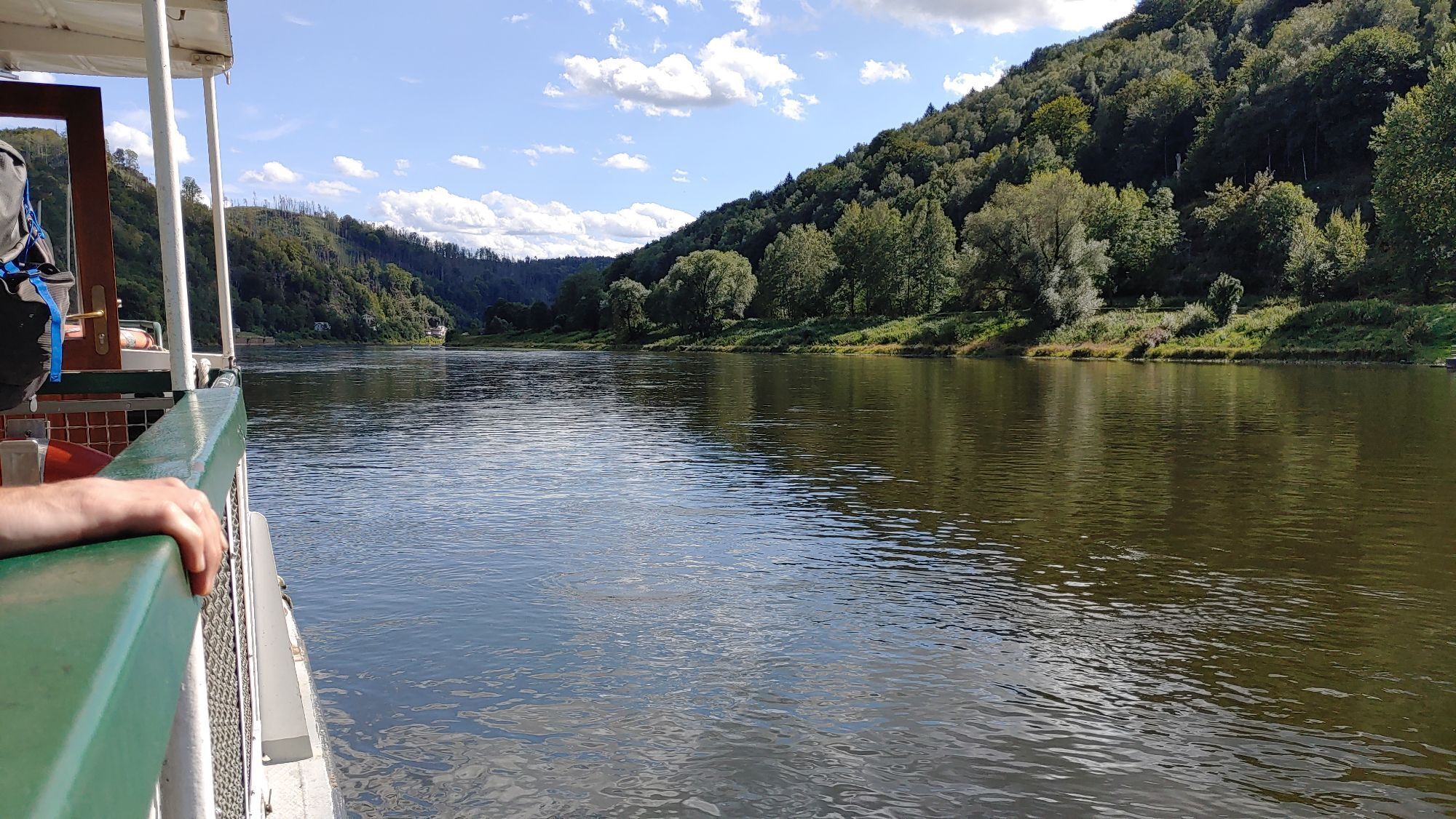
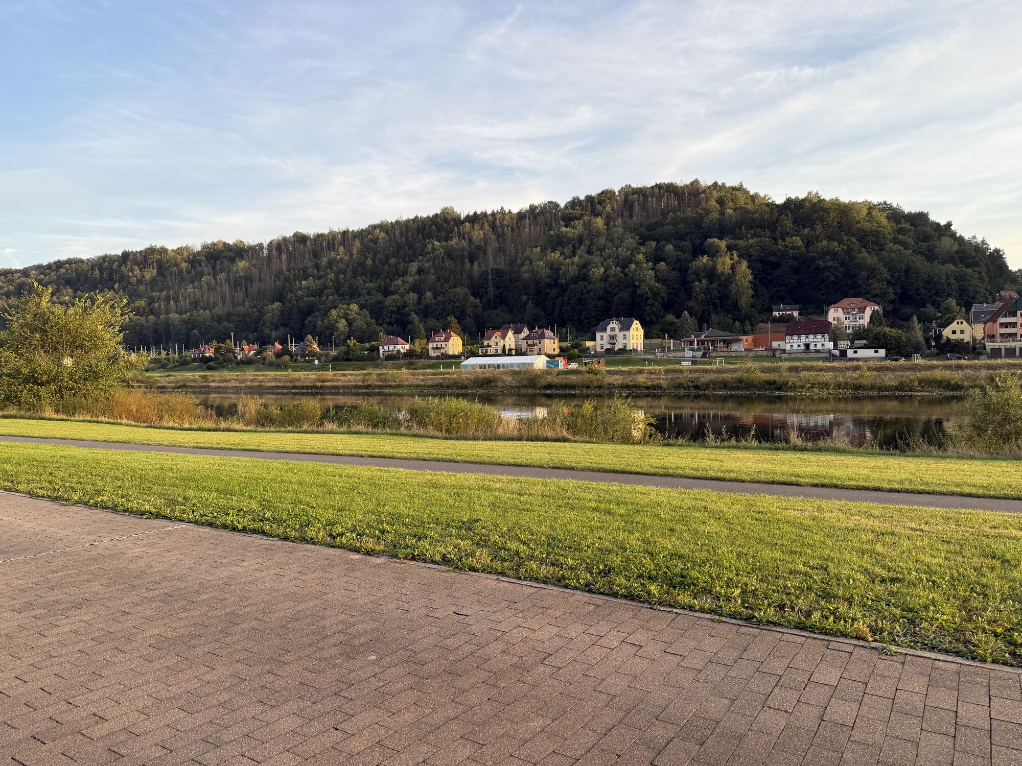
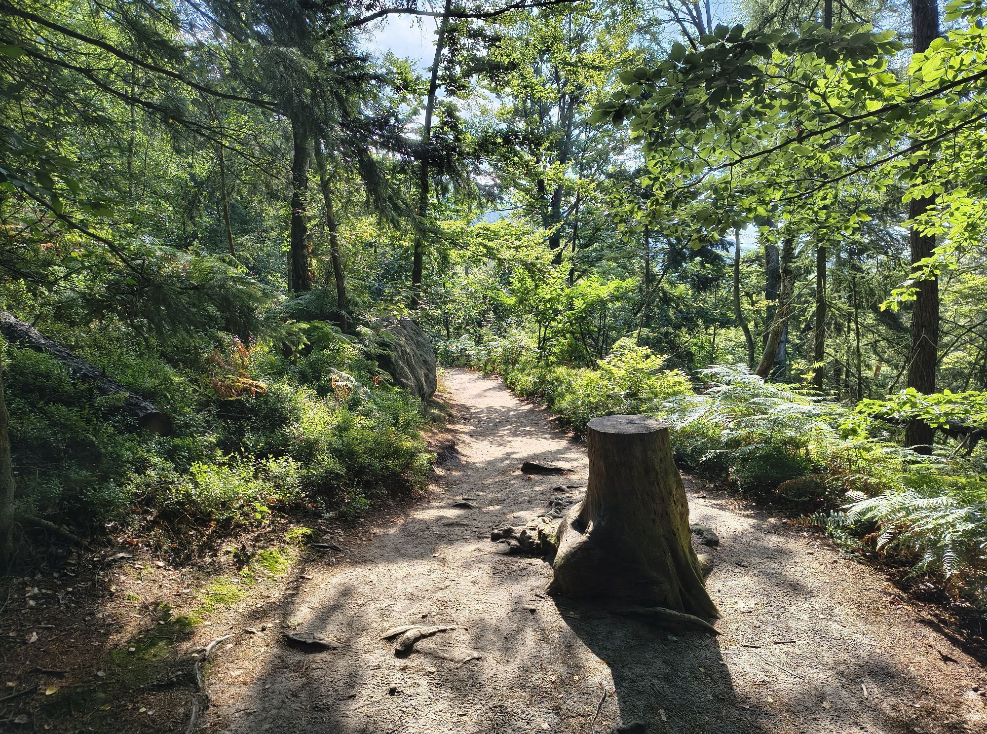
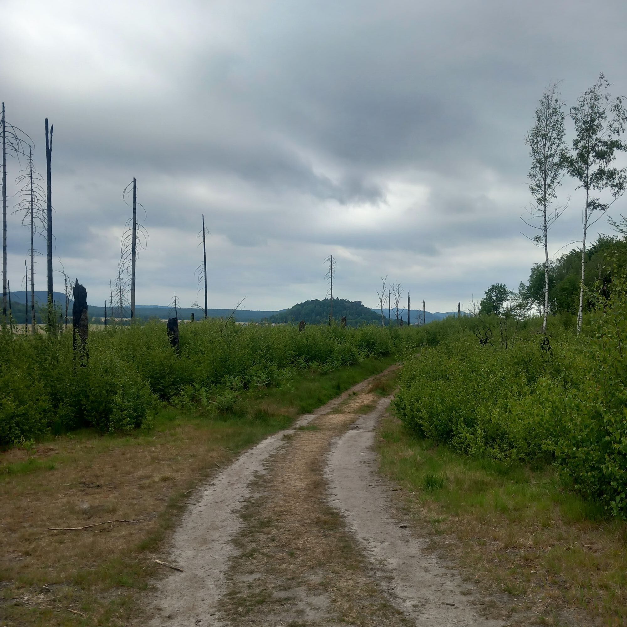

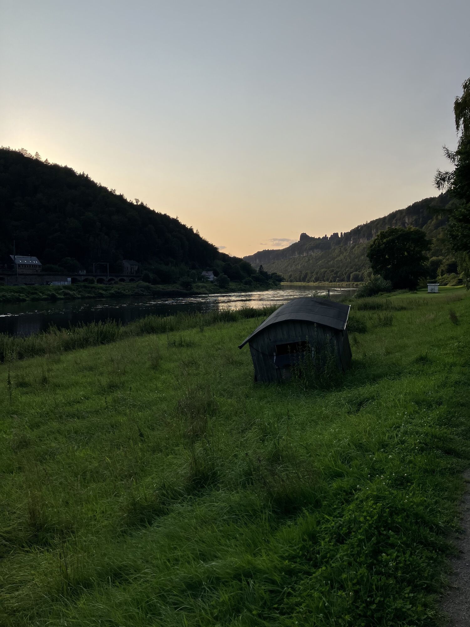


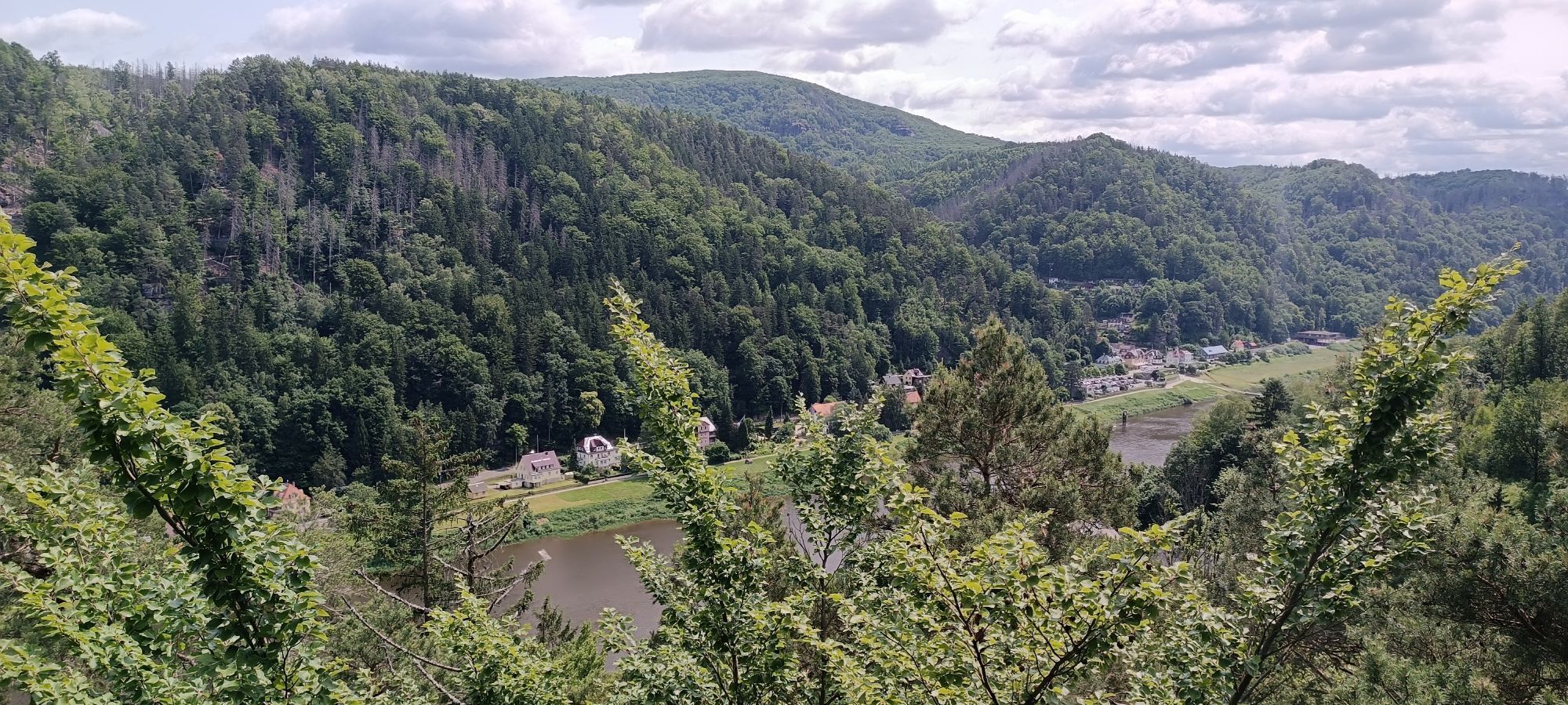

The tour starts on the market square in Bad Schandau. It goes down to the Elbe and we first cycle downstream to the city bridge. From here you have a great panoramic view over the Elbe, the city and the...
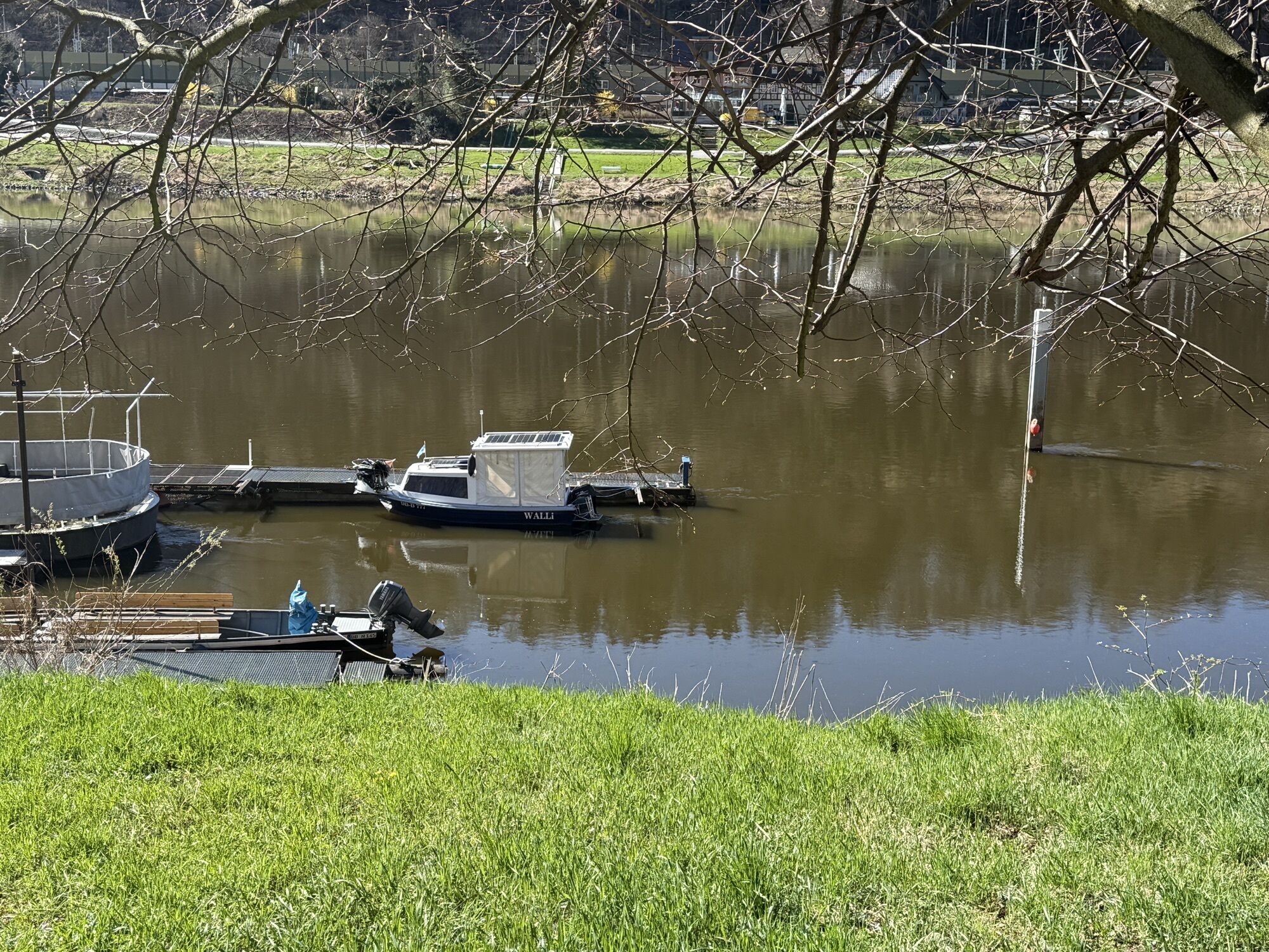
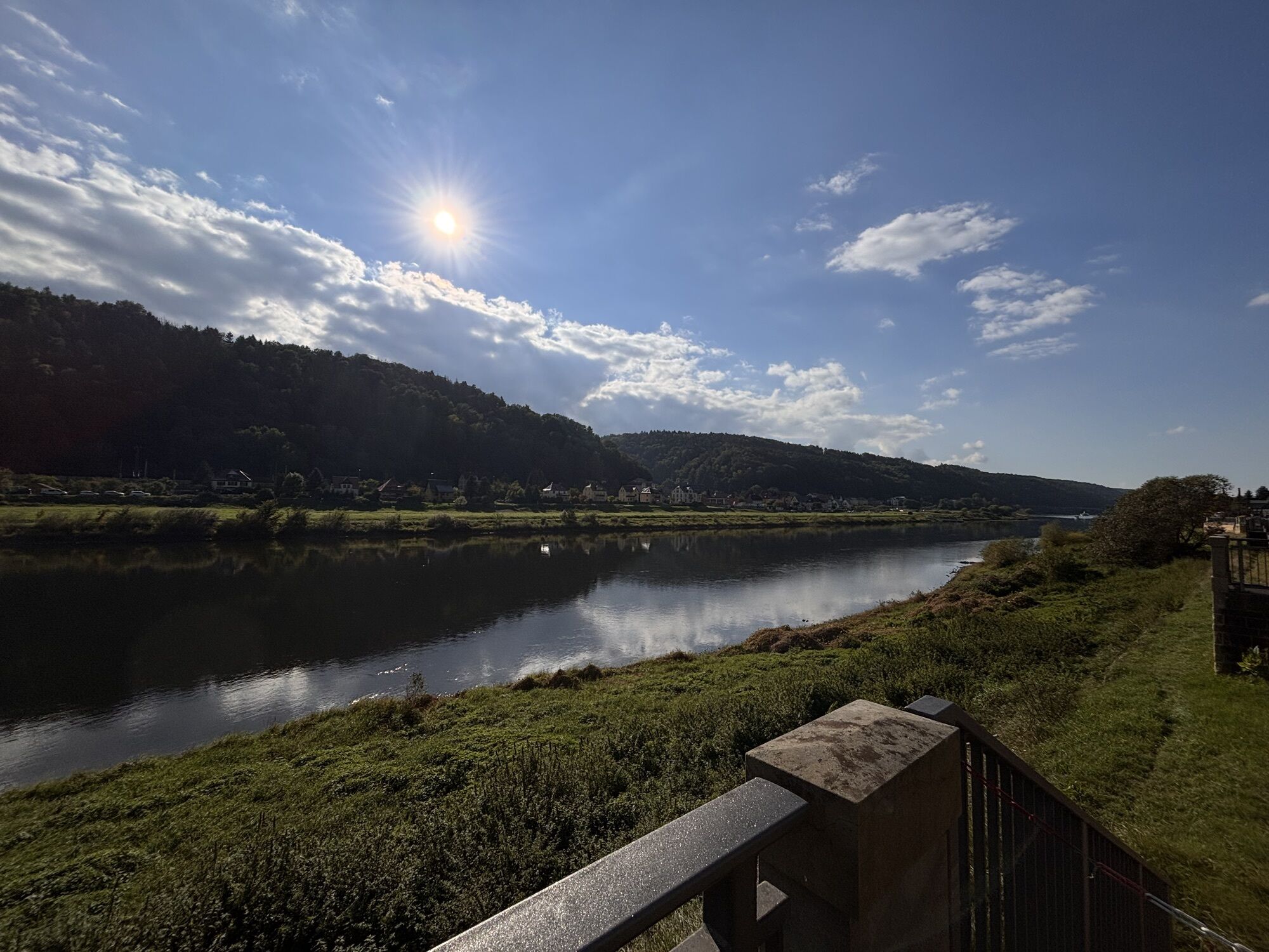
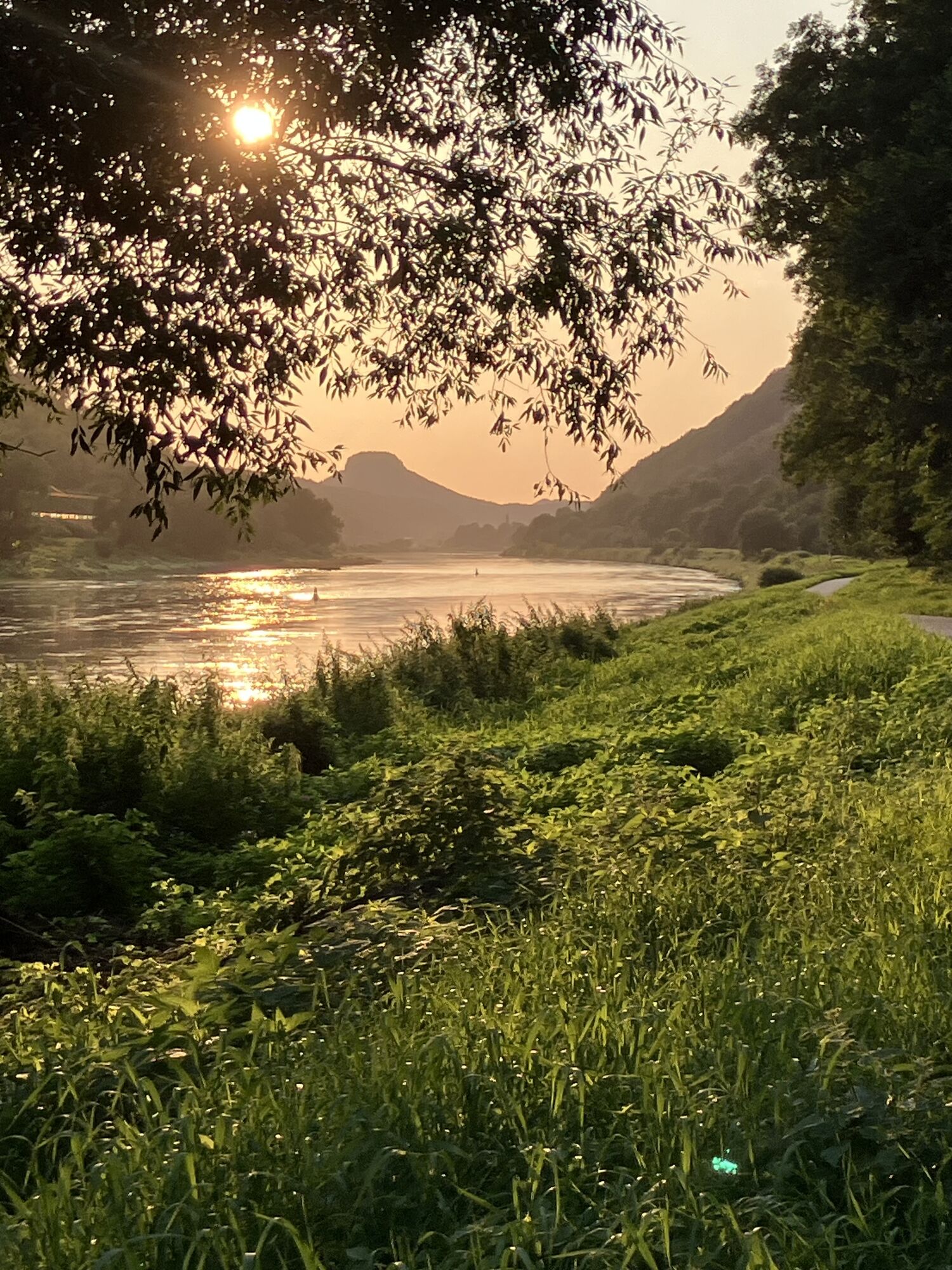
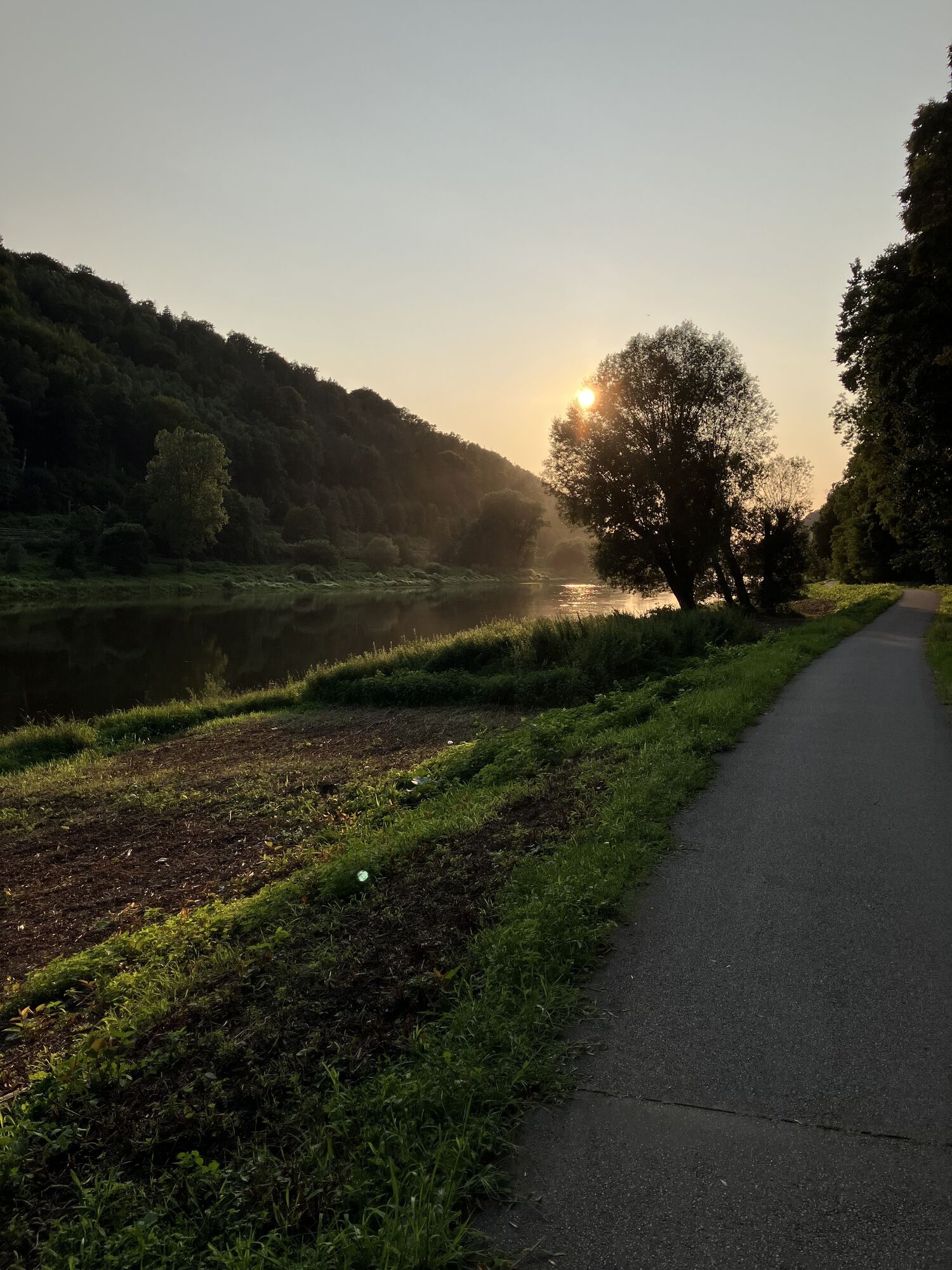
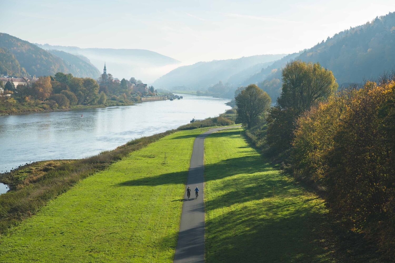
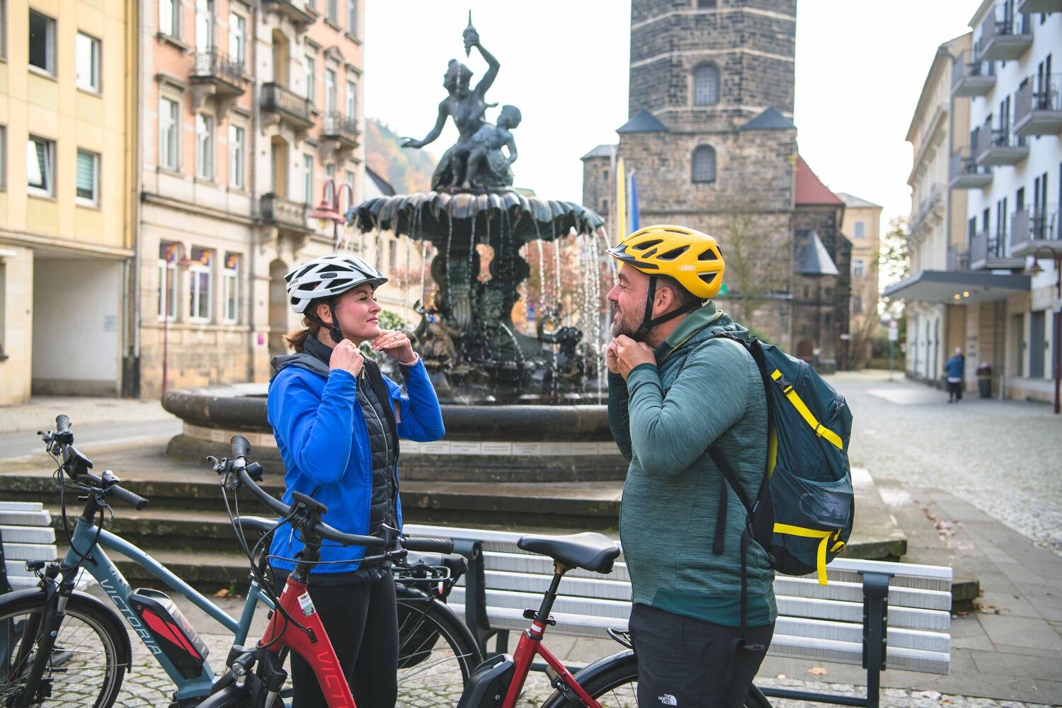
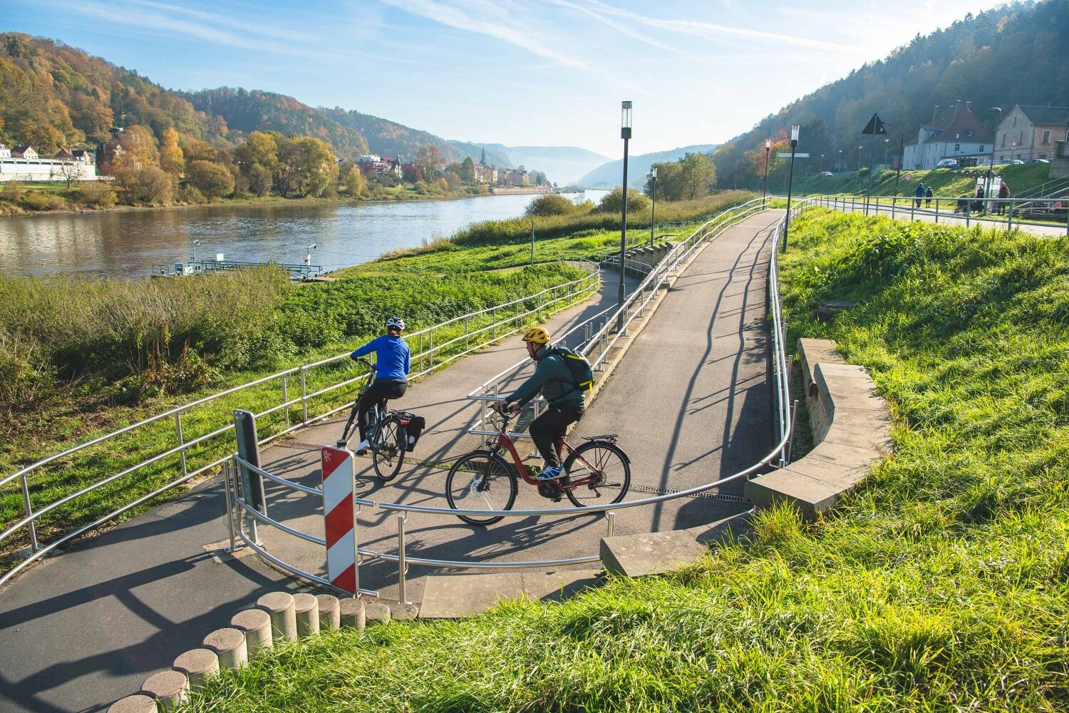
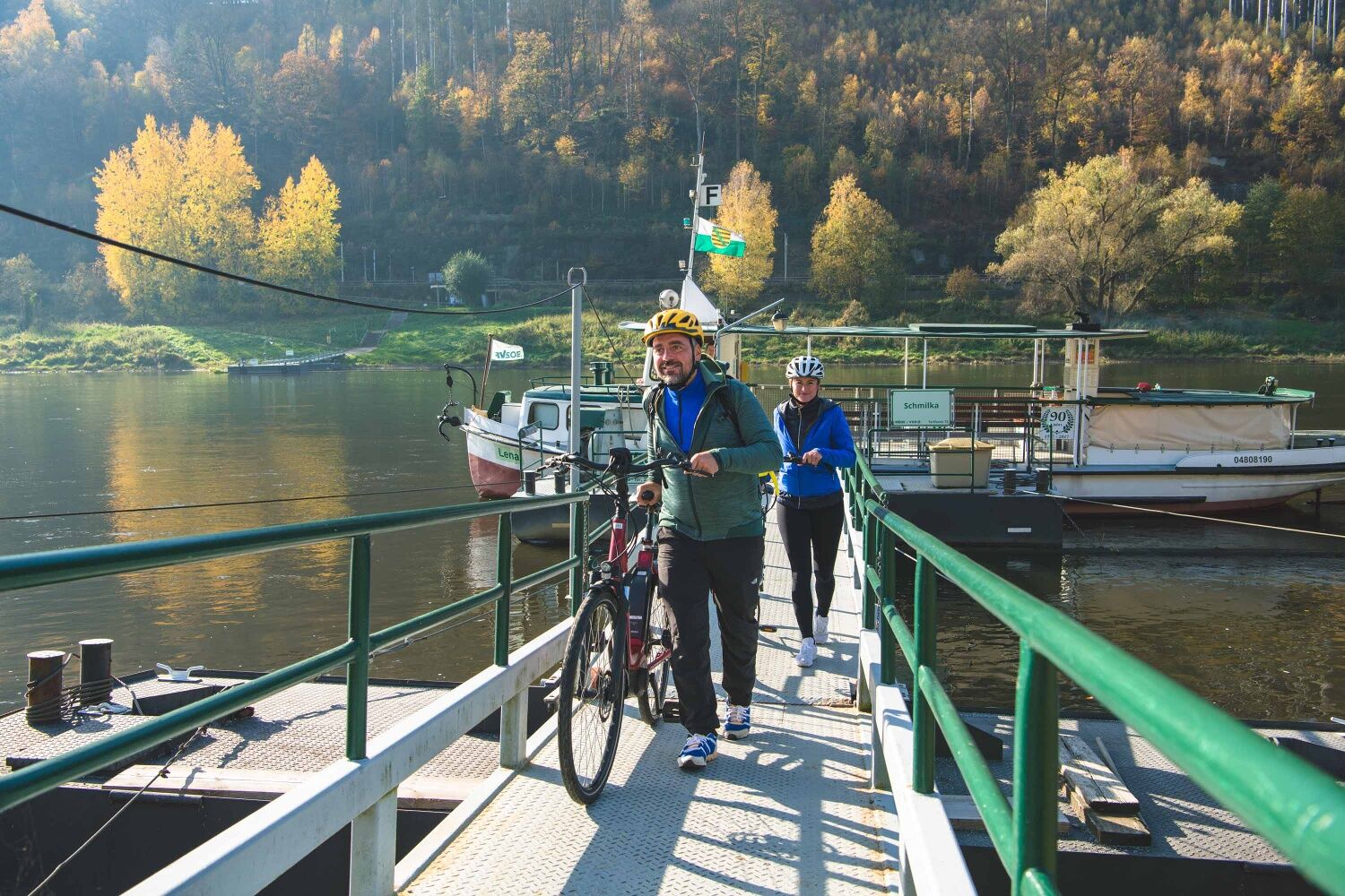
The tour starts on the market square in Bad Schandau. It goes down to the Elbe and we first cycle downstream to the city bridge. From here you have a great panoramic view over the Elbe, the city and the rocks all around. In the other direction we see the Lilienstein, but turn in the direction of the national park train station. In loops we roll down to the Elberadweg. On the other side of the Elbe stretches the spa town of Bad Schandau and the historic passenger elevator winks in the morning light. On the left of the Elbe we follow the cycle path to Krippen, where we catch exciting perspectives with a view of the Schrammsteine. In general, you feel comfortable here between the rocks, it rolls well and the route is smooth and flat. The ferry is already waiting for us at the ferry terminal in Schmilka-Hirschmühle and will take us safely to the other bank of the river. The change of perspective as we glide across the water and marvel at the rocks all around us is a real force. Arriving in Schmilka we make our way straight to the bakery. This is open early in the morning and we can buy a few delicacies right there. Next door, in the romantic Mühlenhof, the mill wheel rattles along while we treat ourselves to a little soup to strengthen ourselves. The great thing: everything here is organic. In addition a home-brewed beer - tastes good! A bottle for the end of the holiday day (pun intended) also fits in the pannier bag. If you want, you can go on a short hike in the national park or cycle comfortably back to Bad Schandau like we did. Passing the half-timbered houses of the Postelwitz district of Bad Schandau and the shipyards, we come back to the center of the spa town. How do we organize the rest of the day...? Spa? Another little hike? Botanical Garden?




Elbe Cycle Route Manual - order or download free of charge
A backpack or a simple pannier bag is perfectly adequate for transporting provisions and snacks. Don't forget your helmet and sunscreen!
The route is almost car-free. On the left, southern side of the Elbe, the Elbe Cycle Path is partly used by local residents as an access route. Watch out at the level of the Ziegelscheune in Krippen: Here you drive between the restaurant and the beer garden. So either slow down or stop yourself and take a break.
Stop: National Park railway station Bad Schandau - the starting point can be reached by ferry Bad Schandau
S-Bahn S1 (Meißen-Triebischtal - Dresden - Bad Schandau - Schöna) National park railway U28 (Rumburk - Sebnitz - Bad Schandau - DÄÄín) RE 20 (Dresden - Bad Schandau - LitomÄÅice) Various bus lines in the regionP+R at the National Park railway station or car park at Elbkai (An der Elbe 12).
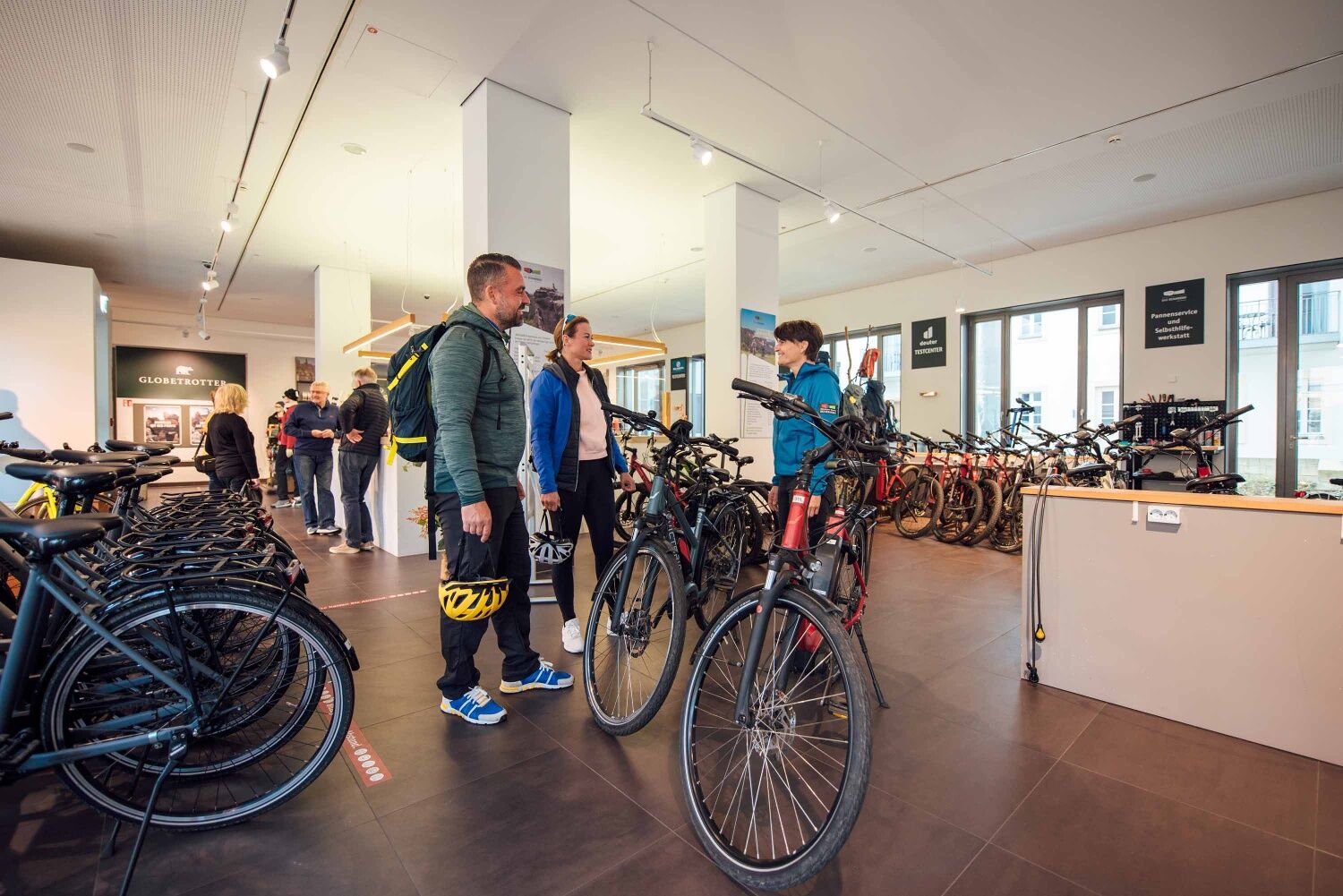
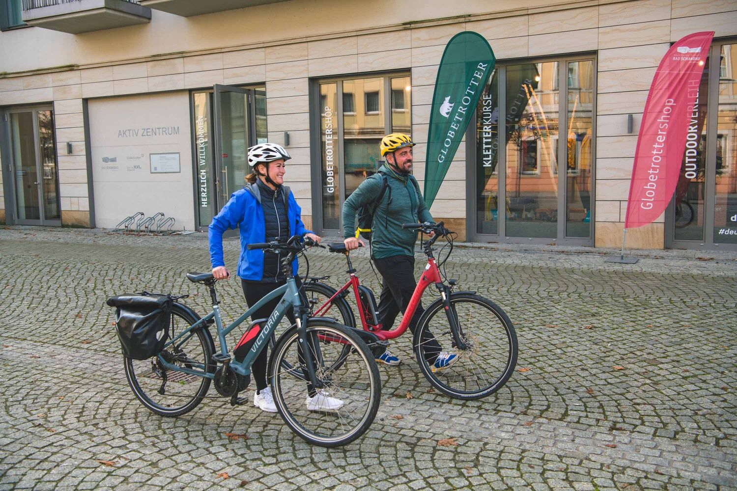
Don't have your own bike with you? The Aktiv Zentrum Sächsische Schweiz in Bad Schandau with its bike rental is happy to help.
Hol dir den Einblick Immer live vor Ort mit über 9.500 Webcams. In der Touren App von bergfex siehst du als Pro-User jetzt zu vielen Touren die passenden Webcams. So kannst du dir direkt die aktuellen Bedingungen ansehen.Beliebte Touren in der Nähe
- 4,7
Rathen / Hockstein / Bastei / Rathen
mittelWanderung 14,4 km - 4,6
Von Rathewalde zur Bastei
Wanderung 12,8 km - 4,7
Rundwanderung Bastei Schwendenlöcher -Amselsee
leichtWanderung 6,21 km - 4,6
Kuhstall, Himmelsleiter und Schneiderloch
mittelWanderung 4,06 km - 4,7
Pfaffenstein Sachsen/Deutschland
mittelWanderung 3,89 km - 5,0
Basteibrücke
leichtWanderung 2,31 km - 5,0
Lilienstein
leichtWanderung 3,75 km - 4,9
entlang der Schrammsteine, Breite Kluft, Affenwand
mittelWanderung 11,6 km - 5,0
Prebischtor
mittelWanderung 18,9 km - 4,4
Kurort Rathen: Große Bastei-Runde
mittelWinterwandern 4,75 km
Wandern & Tracking


Verpasse keine Angebote und Inspirationen für deinen nächsten Urlaub
Deine E-Mail-Adresse wurde in den Verteiler eingetragen.





