







Dream Loop Kastel Rock Trail

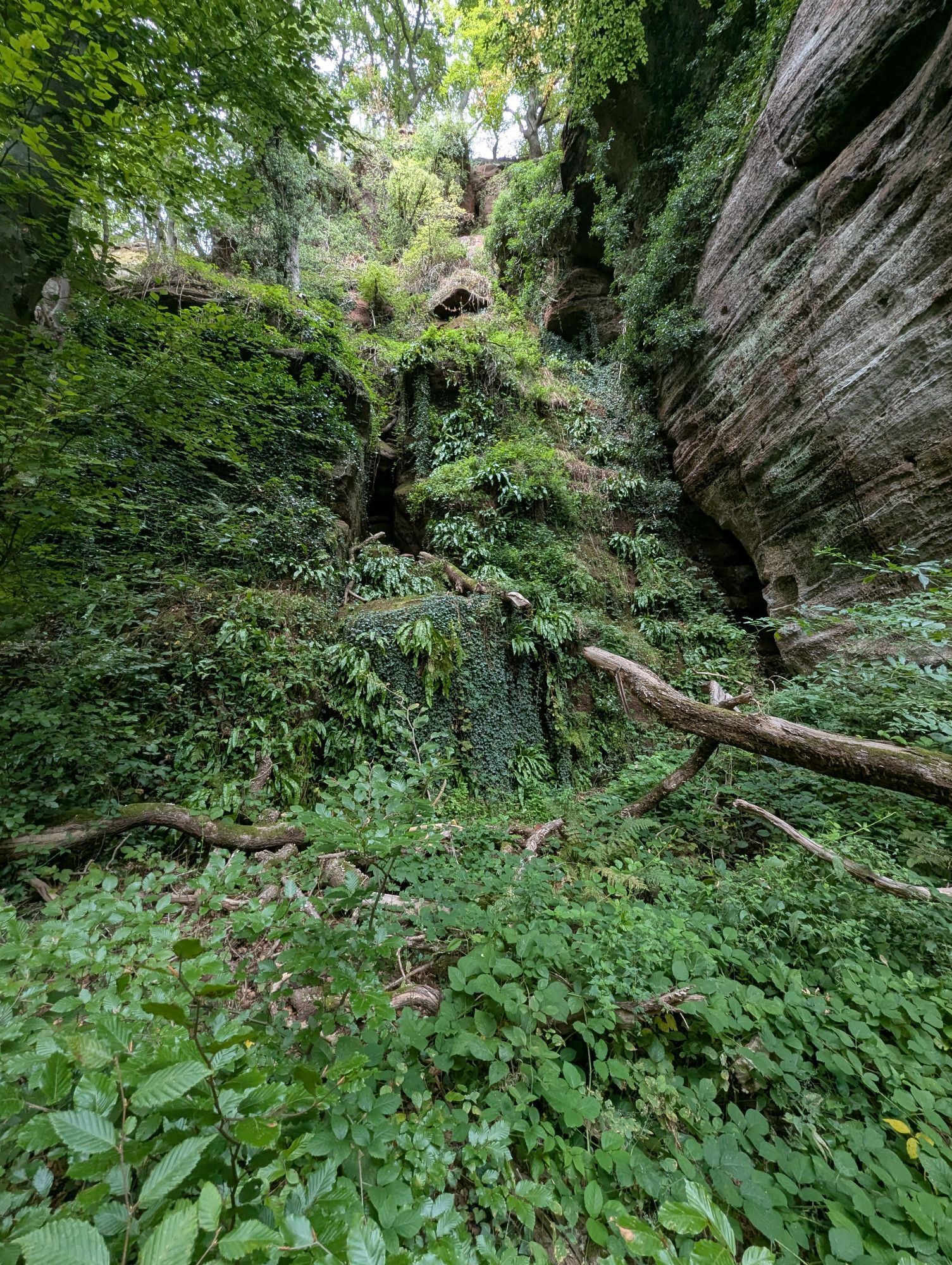
The Kastel Rock Trail leads through the rocky high plateau of Kastel-Staadt and is characterised by a unique variety of experiences. In addition to the historical treasures, from Celtic to Prussian times,...
The Kastel Rock Trail leads through the rocky high plateau of Kastel-Staadt and is characterised by a unique variety of experiences. In addition to the historical treasures, from Celtic to Prussian times, the Felsenweg offers a wealth of scenic attractions.The grandiose rock landscape of the red sandstone with towering cliffs and a fantastic panoramic view as well as the idyllic Pinschbach valley are impressive. The most beautiful view is from the monumental Altfels, which requires some climbing. But you are rewarded with a breathtaking panoramic view of the Saar valley. Other unique rock formations can be found along the route: Römertor, Runder Turm or the Igelfelsen.

Klause National Monument car park - direction Cemetery of Honour - Elisensitz - Runder Turm - Pilsfels - Altfels - Pinschbachbrücke - Kastel town centre - Mariengrotte - Römertor - Klause car park
Almost 80% of the route is on paths or soft forest soil. Sturdy shoes are recommended.
Almost 80% of the trail is on paths or soft forest floor. Sturdy shoes are recommended. The route is not suitable for prams.
Coming from Trier, take the B 51 towards Saarburg and continue via Trassem (B 407) towards Freudenburg until you reach the Kastel-Staadt exit.
For information on current bus timetables, please visit: www.vrt-info.de/busnetz
Free parking in front of the Klause (König-Johann-Str., 54441 Kastel-Staadt).
Combinez la randonnée sur la boucle de rêve Kasteler Felsenpfad avec une visite du monument régional Klause !Horaires d'ouverture : Mercredi-dimanche 10h00-16h00, juillet et août ouvert jusqu'à 17h00. Dernière entrée une heure avant la fermeture.
Webcams der Tour


Beliebte Touren in der Nähe
- 4,4
Traumschleife Cloefpfad
mittelWanderung 8,02 km - 4,4
Trassem - Haus Jochem - Kruterberg - Klein Heide
mittelWanderung 11,3 km - 5,0
Traumschleife Kastel-Staadt Felsenpfad
schwerBergwandern 10,2 km - 4,8
Taben-Rodt Gipfel Maunert
mittelWanderung 12,0 km - 4,3
Traumschleifchen Garten-Wellness-Runde
leichtWanderung 5,91 km - 5,0
Der Bergener-Traumschleife
leichtWanderung 11,6 km - 4,8
Traumschleife Wolfsweg
mittelWanderung 10,2 km - 4,7
Rock Trail
mittelWanderung 13,9 km - 4,0
Moselsteig Etappe 03: Nittel – Konz
schwerFernwanderweg 22,5 km Sterntour rund um Trier - Tour 1: Auf dem Ruwer-Hochwald-Radweg
leichtRadfahren 53,8 km
Wandern & Tracking


Verpasse keine Angebote und Inspirationen für deinen nächsten Urlaub
Deine E-Mail-Adresse wurde in den Verteiler eingetragen.





