







Moselsteig Trail Stage 08: Leiwen – Neumagen-Dhron
The stage between Leiwen and Neumagen-Dhron offers hikers a fascinating experience of both nature and the surrounding landscape. Initially the trail takes hikers along thrilling paths through vineyards...
The stage between Leiwen and Neumagen-Dhron offers hikers a fascinating experience of both nature and the surrounding landscape. Initially the trail takes hikers along thrilling paths through vineyards and past ancient rock cliffs. It then continues past hedgerows, woodland and wildlife reserves. What is more, the stage affords hikers a view that even connoisseurs of the Moselle return to again and again. In Neumagen-Dhron, Germany's oldest wine-making village, the path ends at the landing stage of the "Stella Noviomagi", the faithful reproduction of a Roman wine vessel.
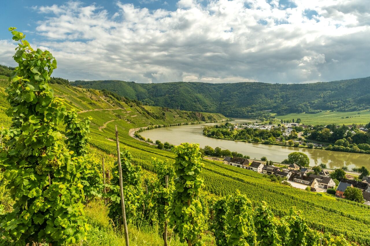
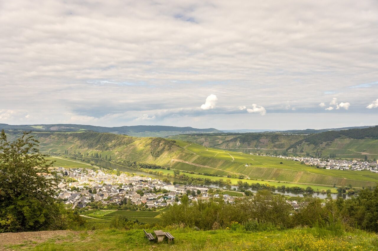

The starting point of this leg is the bus station in the Euchariusstraße road or the tourist information office in Leiwen. The access route sign posting guides you through the town to the tennis grounds. After about one kilometre you hit the main road. After a few metres you reach the barbecue hut in the Schantelbach Valley, which also boasts a large, beautifully designed adventure play ground. The play areas all around the Schantelbach offer lots of adventures! The Moselsteig Trail follows the Schantelbach up the valley. Before you reach the forest, the trail crosses a field, with a narrow river bed. On the opposite side of the valley the trail now takes you up the vineyards. At the Peace Chapel (Friedenskappelle), which is only a few steps away from the path, you should take a moment and enjoy the glorious view of Leiwen and Trittenheim.
The ascent continues behind the chapel and first takes you through vineyards, and a little bit further up, through a low forest. Once you have arrived at an orchard, you again have a view of Moselle Valley. A mountain hut invites you to rest, and you can enjoy the view a little longer. Through a low forest, the trial now continues to the edge of the Sonnenberg holiday park, at the end, it even gets quite steep. Here, above the game enclosure, you must around, take a breath and admire the wonderful view towards the Moselle. THE Moselsteig Trail now continues downhill to the forest and remains in the forest for descent. After passing a few houses in the town district of Zummethöhe you will reach the county road at the parking area. Once you have crossed the road, you will be above the vineyards and can see the Trittenheimer Moselle loop - one of the typical loops of the Central Moselle surrounded by vineyards. Trittenheim with its church which is located in the centre of the loop completes this wonderful picture. An access route takes you to famous wine village.
The Moselsteig Trail continues over steps and reaches the ridge; now the path briefly leaves the Moselle Valley and ascends through former vineyard grounds in the Kleine Dhron side valley. Often the sun shines on this side of the mountain when the Moselle Valley is still covered in fog. You have a clear view of the valley and the few houses in the village of Dhrönchen, where the author Stefan Andres was born. Moselsteig Trail hikers will also encounter him in Schweich. At the barbecue hut Vogelsang you again reach the slope edge of the Moselle Valley, and after a few metres you will arrive at the viewing point Vogelsang, which offers a view of the Trittenheimer Moselle loop from a different perspective. A small pulpit below the path is a viewing point almost perpendicular to the Moselle.
On a forest path you hike along the slope edge to the meeting point at the Römersteig. Here, you can walk on an access route to Trittenheim, but you should also no miss out on a small detour to the viewing point (see author’s tip)! After a short excursion to the hinterland, over one of the many Moselle terraces, the Moselsteig Trail takes you back to the slope edge and, on a beautiful nature path, you will have one of kind views of the steeply sloping cliffs and slopes right to the Moselle. The trail continues steeply downhill in a side valley and forest. Nearly at Moselle level, you again arrive at some vineyards. You have finished the descent once you arrive at the Chapel of Martyrs (Märtyrerkapelle).
Flanked by the road and vineyards, the Moselsteig Trail now continues along the stations of the cross towards Neumagen. A short hike on the cycle lane, and you have reached the outskirts of the town. Following a grassy path (the former track bed of the Moselle railway), past the yacht harbour and camp-site, you arrive in the centre of Neumagen-Dhron. In the summer months the replica of the Roman wine vessel Stella Noviomagi is in the harbour and makes for a worthy end of this Moselsteig Trail leg!
Leisure Map Moselsteig Trail – Map 2: Trier - Zell (Mosel) (Stages 5 - 14), ISBN: 978-3-89637-420-2
Sturdy hiking footwearAppropriate weatherproof hiking gearPicnic lunch
Starting point: Leiwen A 1, Föhren/Bekond exit and then follow the L 48 or B 53 and L 48
Destination: Neumagen-Dhron via the B 53
There are regular connections. Please note that during the school vacations of Rhineland-Palatinate / Saarland, on weekends as well as on public vacations there may be restrictions in the frequency! Please check the daily timetable on the website of the Verkehrsverbund Region Trier (VRT):
Leiwen: Small car park adjacent to the Euchariusstraße bus stop; the square on Schulstraße offers more parking
Neumagen-Dhron: Large car park on the riverbank close to the Stella Noviomagi
Zummethöhe: Hikers' car park on the L 148, around halfway along the stage
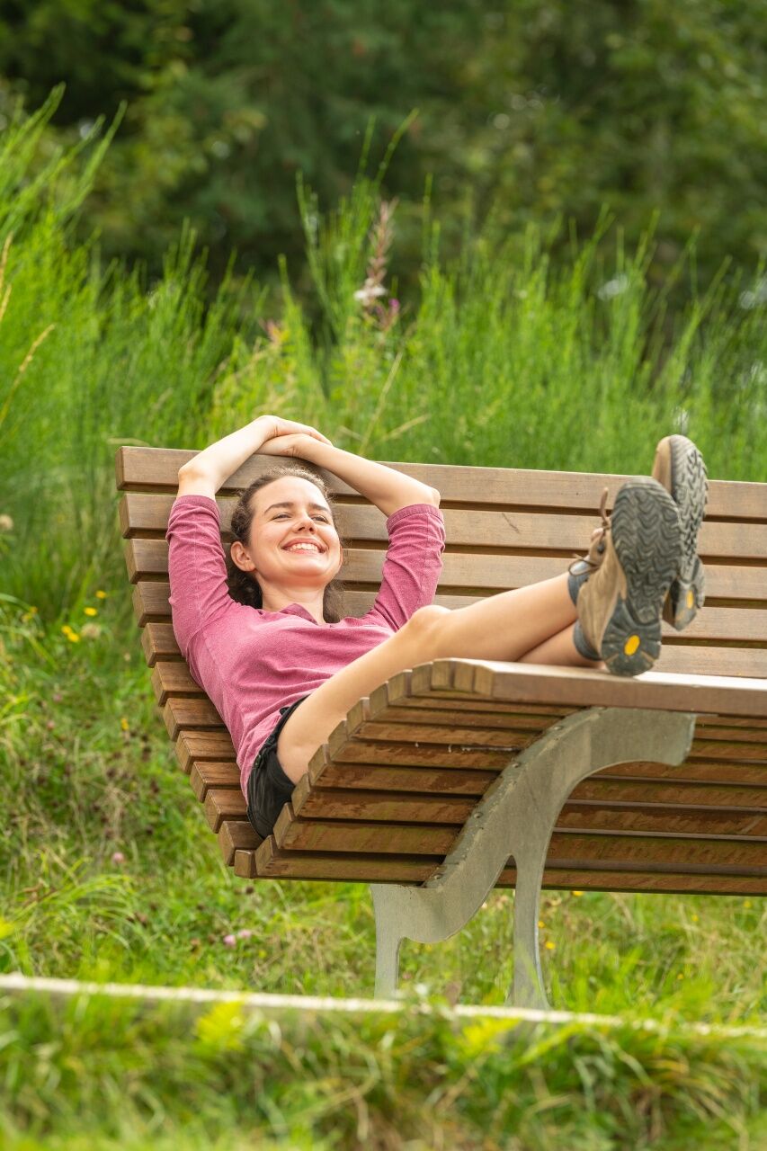
The grassy plateau above the slate caves is perfect for stopping off to rest your feet. The resting place lies a little way from the trail and is therefore somewhat quieter but the view is just as lovely as the more well-known spots.

Beliebte Touren in der Nähe
- 5,0
Traumschleife Hunolsteiner Klammweg
schwerWanderung 11,9 km - 4,7
Sterntour rund um Bernkastel-Kues - Tour 2: Rundtour auf dem Mosel-Radweg über Trittenheim nach Bernkastel-Kues
leichtRadfahren 57,0 km - 5,0
Moselsteig Seitensprung Graf Georg Johannes Weg
mittelWanderung 14,1 km - 5,0
Moselsteig Etappe 07: Mehring – Leiwen
mittelFernwanderweg 14,5 km - 5,0
Moselsteig Etappe 08: Leiwen – Neumagen-Dhron
leichtFernwanderweg 14,1 km - 5,0
Moselsteig Etappe 06: Schweich – Mehring
mittelFernwanderweg 12,4 km - 5,0
Traumschleife Lecker Pfädchen
mittelWanderung 11,4 km - 5,0
Traumschleife Wind-Wasser-Wacken
leichtWanderung 10,9 km - 4,0
Mosel-Radweg Etappe 4: Von Mehring bis Piesport
leichtFernradweg 25,5 km - 5,0
Rockenburger Urwaldpfad
mittelWanderung 13,6 km
Wandern & Tracking


Verpasse keine Angebote und Inspirationen für deinen nächsten Urlaub
Deine E-Mail-Adresse wurde in den Verteiler eingetragen.





