


Auf dem längsten Moränenhügel Europas
Schwierigkeitsgrad: 4
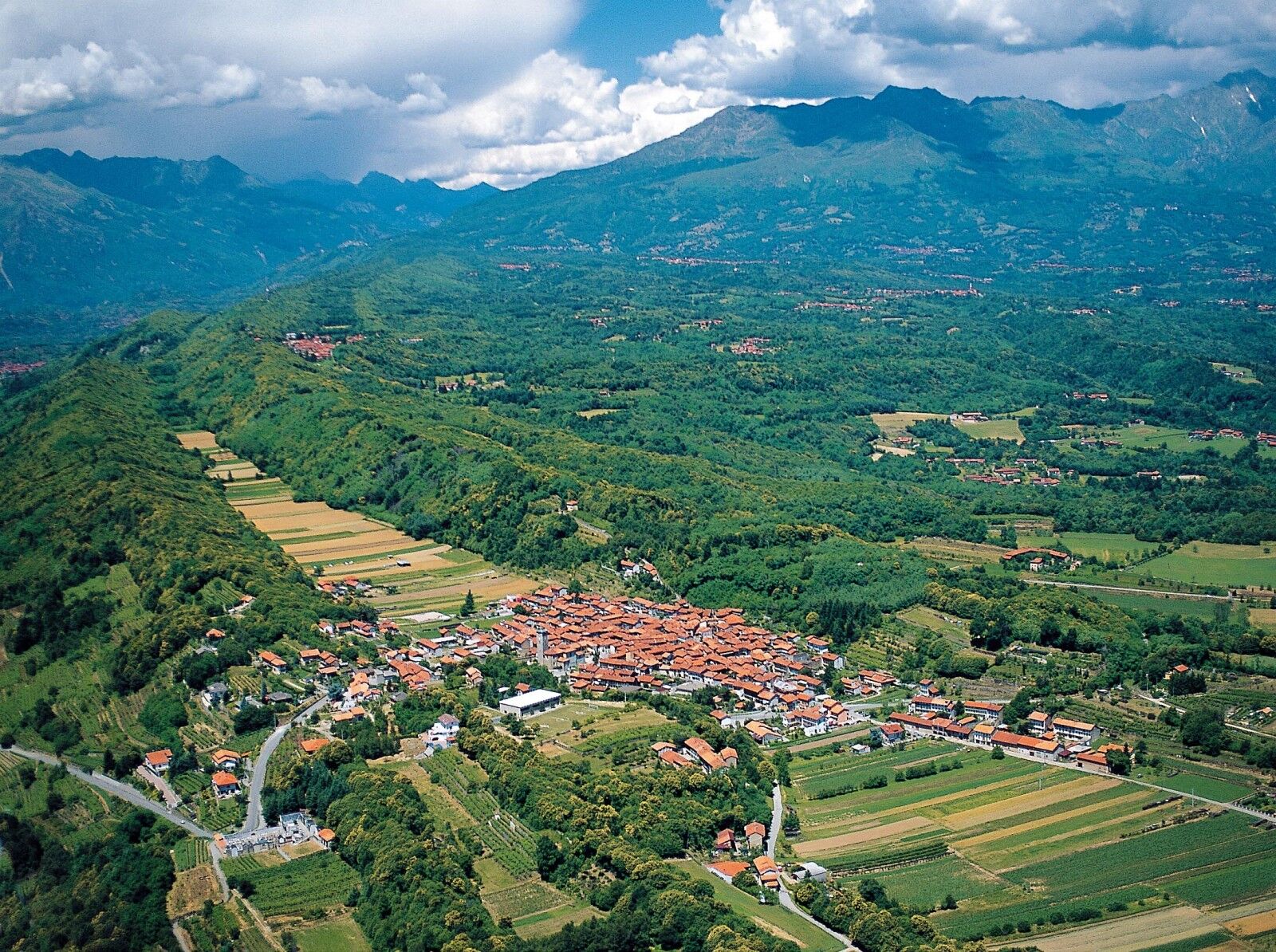
After Biella we head into the splendid landscape of the morainic hills of the Serra, the longest in Europe, where we will visit an unusual place: the Ecomuseum of Gold and Bessa in Vermogno.>br /< Cycling alongside the Special...
After Biella we head into the splendid landscape of the morainic hills of the Serra, the longest in Europe, where we will visit an unusual place: the Ecomuseum of Gold and Bessa in Vermogno.>br /< Cycling alongside the Special Nature Reserve of the Bessa, once frequented by the ancient Romans, we will ride through enchanted woods, the custodians of ancient and mysterious legends, and the beautiful views of Valle Elvo that will accompany us until we return.
Km. Place Information 0.0 Biella - Departure in Via Lamarmora opposite the ATL Tourist Information office,westward. Recommended car park: Biella station - Camper van area with loading and unloading. 0.8 Left in Via Rosselli – towards Ponderano 3.3 Right towards Mongrando – Mongrando Centre towards Ivrea SS 338 101 Leavethe main road and proceed along the SP 411. Ride alongside the Natural Reserve of the Bessa, with a series of ascents and descents. At Km 14 Bypass for Fontana Solforosa Ecomuseum of Gold and Bessa in Vermogno (Zubiena). 15.8 Right towards San Sudario-Magnano. 20.1 Straight on for the SP 410. 22.1 Right for the SS 338. At Km 24.50 Biella Golf Club "Le Betulle". 24.0 Left towards Sala and the SP 410 26,4 Torrazzo 27,4 Left towards Andrate - Croceserra Splendid panorama over the Canavese region. 33,2 Croceserra – towards Donato, Graglia, Occhieppo Sup/Inf., and Biella Various fountains along the route. 51,7 Occhieppo Inferiore – Left towards Biella centre. 53,8 Biella - arrival in Via Lamarmora opposite the ATL Tourist Information office.>br /<

Ja
4
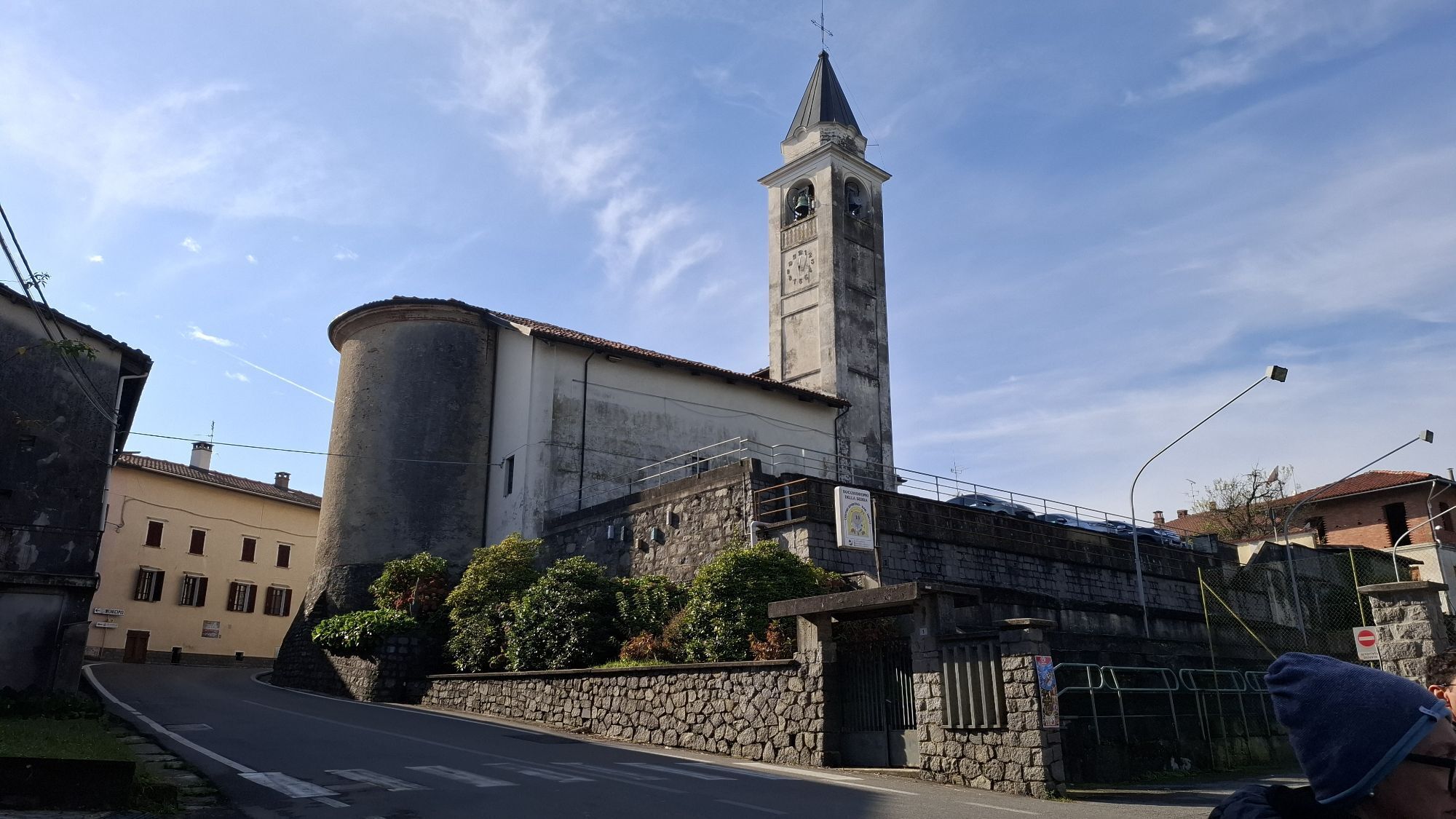
Ecomuseum of Gold and the Bessa
Bessa's special Nature Reserve
Valle Elvo
Tourist information on the Local Tourist Office ATL Biella website: www.atl.biella.it
Beliebte Touren in der Nähe
SETTIMO VITTONE Colma di Mombarone von Trovinasse
mittelWanderung 3,92 km- 3,0
Via Francigena Etappe 5
mittelWanderung 36,7 km MONTALTO DORA Terre Ballerine - Auf der Suche nach dem Coniglio-See
leichtWanderung 5,35 kmChiaverano – Kirche Santo Stefano di Sessano
mittelMountainbike 27,4 kmDer Weg der Heiligtümer
mittelMountainbike 30,4 kmVon Biella nach Oropa durch das Cervo-Tal
schwerMountainbike 45,1 kmBROSSO Monte Cavallaria
mittelWanderung 8,76 kmCHIAVERANO Rundweg auf der Serra d'Ivrea
mittelWanderung 14,5 kmIVREA Rundweg Ivrea - Alice Superiore
mittelFernradweg 35,0 kmIVREA Rundweg Ivrea - Viverone
mittelFernradweg 52,4 km

Wandern & Tracking


Verpasse keine Angebote und Inspirationen für deinen nächsten Urlaub
Deine E-Mail-Adresse wurde in den Verteiler eingetragen.