

Navigieren
Hol diese Tour auf dein Handy
Karte
St.-Anna-Weg
schwer
Mountainbike
68,38 km
QR-Code scannen und Navigation in der bergfex App beginnen
QR Code
Wandern & Tracking
Wandern & Tracking
Download für iOS
Download für Android

St.-Anna-Weg

schwer
Mountainbike
Distanz
68,38 km
Dauer
08:11 h
Aufstieg
2.149 hm
Seehöhe
507 - 2.011 m
Track-Download
Karte
St.-Anna-Weg
schwer
Mountainbike
68,38 km

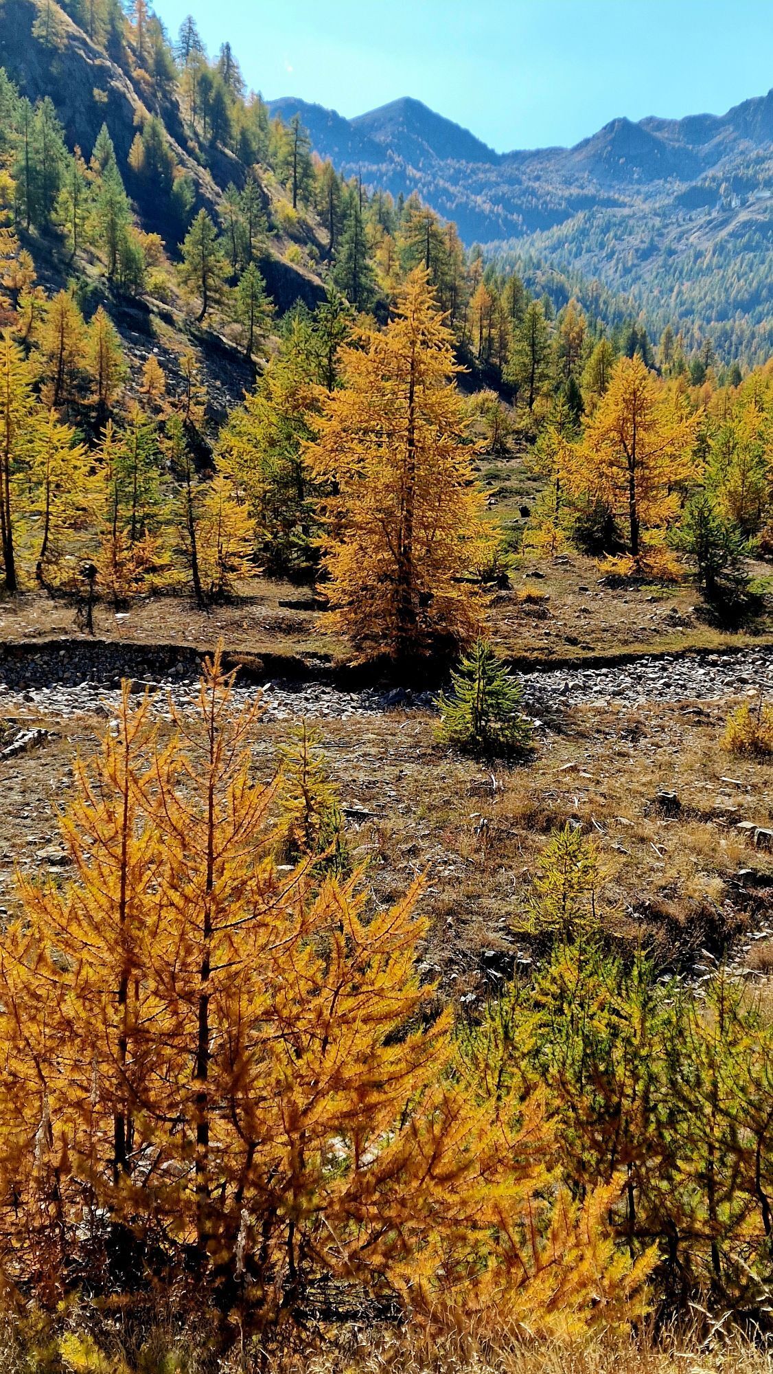
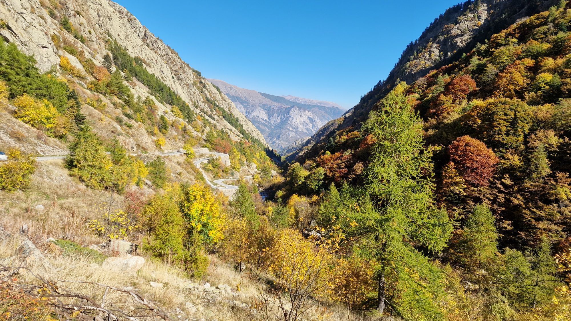
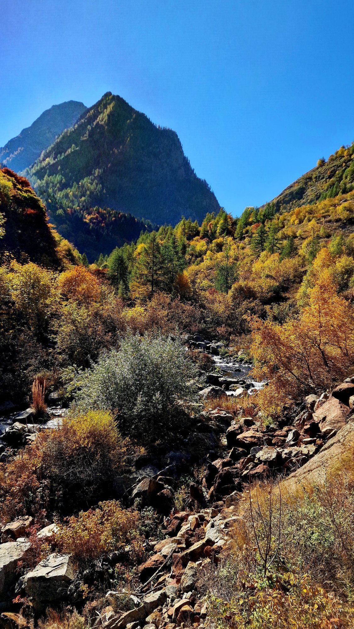
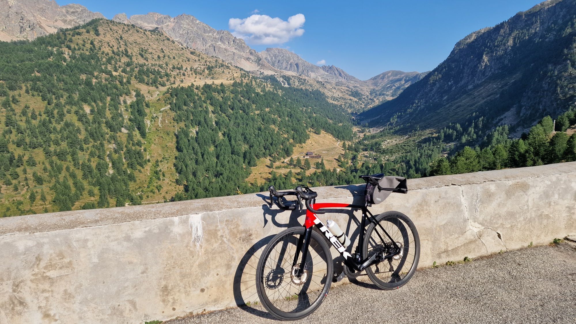
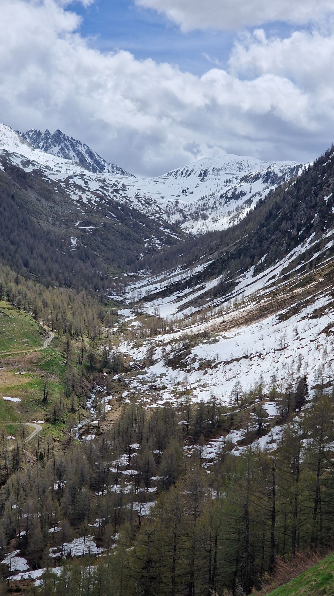
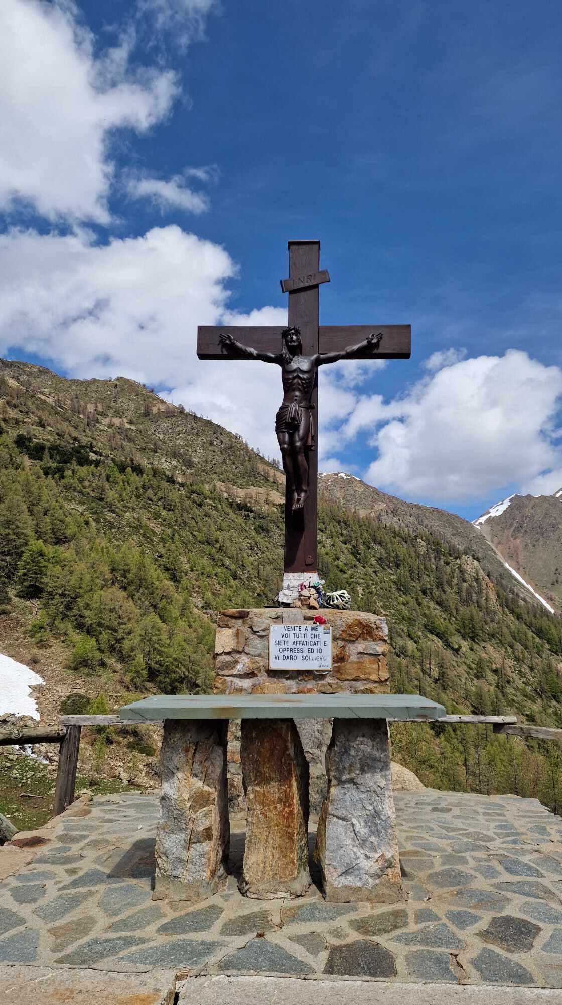
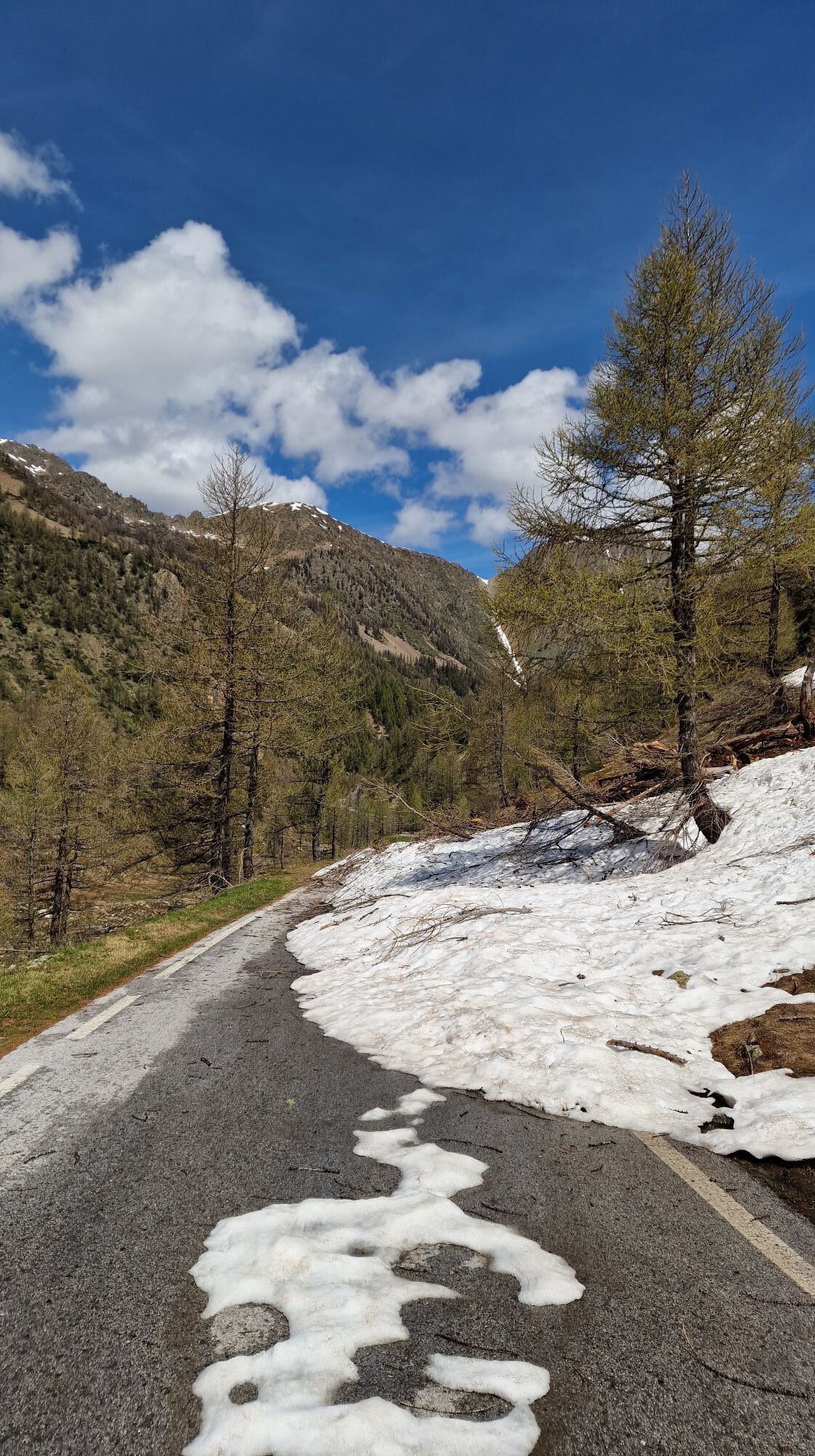
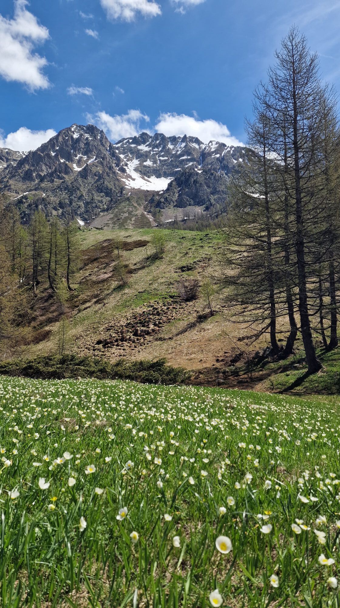
Fotos unserer User

The route is completely marked from the departure from Cuneo railway station (and alternatively also from Piazza Torino - bus arrival point) to the end, with white and red signposts bearing the Cammino...

Beschreibung

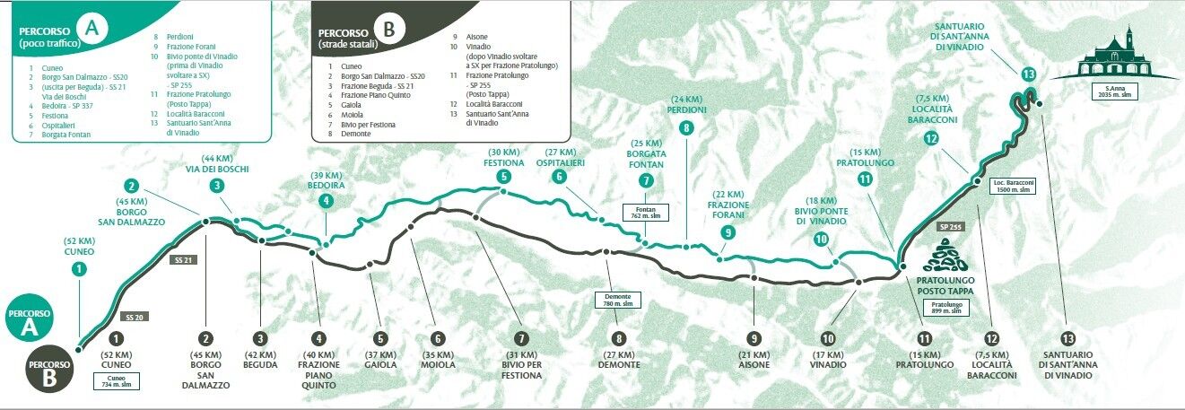
The route is completely marked from the departure from Cuneo railway station (and alternatively also from Piazza Torino - bus arrival point) to the end, with white and red signposts bearing the Cammino logo, metal supports, signs and plaques on the hiking poles. The colours change to blue and yellow only on the final ascent because the route coincides with the existing traditional path.

The bike route includes some variants to the hiking route, in order to avoid paths or slopes that are not suitable for pedalling and no-entry roads. In these alternative sections, there are no signs or arrows indicating the route, so it is essential to use the Gpx track. These indications in a single stage from Cuneo to the Sanctuary can be personalised: most of the height difference is in the last 15 km and the seasonal period of use may vary depending on whether or not you choose to go as far as the Sanctuary.

Wegverlauf
Cuneo
(534 m)
Stadt
1,3 km
Parrocchiale Sant'Antonio Abate
(674 m)
Andachtsstätte
16,1 km
Cappella di San Membotto
(671 m)
Andachtsstätte
26,0 km
Frazione Maigre
(697 m)
Siedlung
27,0 km
Chiesa di San Donato
(779 m)
Andachtsstätte
36,8 km
Parrocchiale di Santa Maria
(819 m)
Andachtsstätte
45,9 km
Posto Tappa
(2.021 m)
Schutzhütte
68,3 km
Wegverlauf
Karte
St.-Anna-Weg
schwer
Mountainbike
68,38 km
Basse Sant'Anna - Borgo Nuovo
(506 m)
Siedlung
0,4 km
Cuneo
(534 m)
Stadt
1,3 km
Cappella Sant'Andrea
(620 m)
Andachtsstätte
9,7 km
Borgo San Dalmazzo
(639 m)
Stadt
11,0 km
San Dalmazzo
(632 m)
Andachtsstätte
11,1 km
Chiesa della Confraternita di Santa Croce
(633 m)
Andachtsstätte
11,2 km
Chiesa di San Magno
(637 m)
Andachtsstätte
11,3 km
Beguda
(668 m)
Dorf
14,1 km
Parrocchiale Sant'Antonio Abate
(674 m)
Andachtsstätte
16,1 km
Roccasparvera
(679 m)
Dorf
16,1 km
Confraternita di San Sebastiano
(675 m)
Andachtsstätte
16,2 km
Madonna delle Grazie
(694 m)
Andachtsstätte
16,6 km
Castelletto
(707 m)
Dorf
18,1 km
Chiesa di San Maurizio
(707 m)
Andachtsstätte
18,4 km
Cappella di San Rocco
(707 m)
Andachtsstätte
18,5 km
Cappella di San Bernardo
(771 m)
Andachtsstätte
20,0 km
Gaiola
(698 m)
Dorf
20,6 km
Maria Vergine Assunta
(715 m)
Andachtsstätte
20,7 km
Braida
(775 m)
Siedlung
21,6 km
Frazione Gaietto
(727 m)
Siedlung
23,6 km
Moiola
(695 m)
Dorf
24,9 km
Parrocchiale di San Giovanni Battista
(699 m)
Andachtsstätte
25,1 km
Cappella di San Membotto
(671 m)
Andachtsstätte
26,0 km
Frazione Maigre
(697 m)
Siedlung
27,0 km
Ruà Sottana
(713 m)
Siedlung
29,4 km
Festiona
(757 m)
Dorf
30,0 km
Tetti Vescovo
(733 m)
Siedlung
32,1 km
Torre
(761 m)
Siedlung
32,3 km
Sant'Anna di Rialpo
(757 m)
Dorf
32,4 km
Medich
(755 m)
Siedlung
32,6 km
Cornaletto Sottano
(824 m)
Siedlung
34,8 km
Ristorante Moderno
(770 m)
Restaurant
36,7 km
Chiesa di San Donato
(779 m)
Andachtsstätte
36,8 km
Chiesa della Confraternita di Santa Croce
(778 m)
Andachtsstätte
36,9 km
Demonte
(775 m)
Dorf
36,9 km
Fedio Sottano
(944 m)
Siedlung
39,2 km
Fedio Massolo
(994 m)
Siedlung
40,0 km
San Marco e San Grato
(857 m)
Andachtsstätte
43,0 km
Frazione San Giuseppe
(817 m)
Siedlung
45,3 km
Aisone
(846 m)
Dorf
45,7 km
Parrocchiale di Santa Maria
(819 m)
Andachtsstätte
45,9 km
Goletta Sottana
(843 m)
Siedlung
47,3 km
Goletta
(853 m)
Siedlung
49,0 km
Vinadio
(904 m)
Dorf
50,9 km
Chiesa di San Fiorenzo
(916 m)
Andachtsstätte
51,2 km
Pratolungo
(918 m)
Dorf
53,8 km
Roviera
(905 m)
Dorf
54,2 km
Frazione Puà
(1.029 m)
Siedlung
55,5 km
Rifugio Caramba
(2.023 m)
Schutzhütte
68,1 km
Posto Tappa
(2.021 m)
Schutzhütte
68,3 km
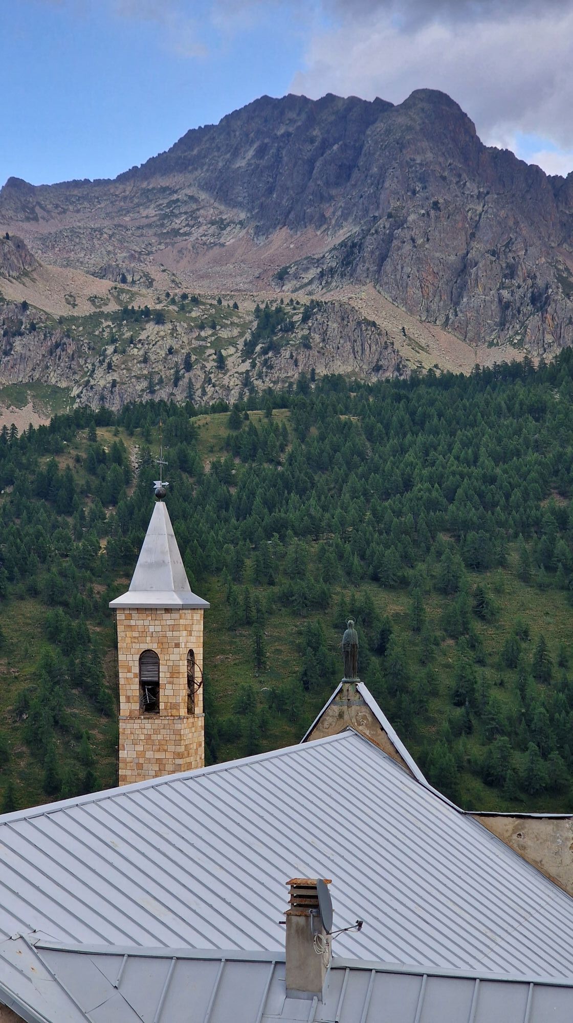
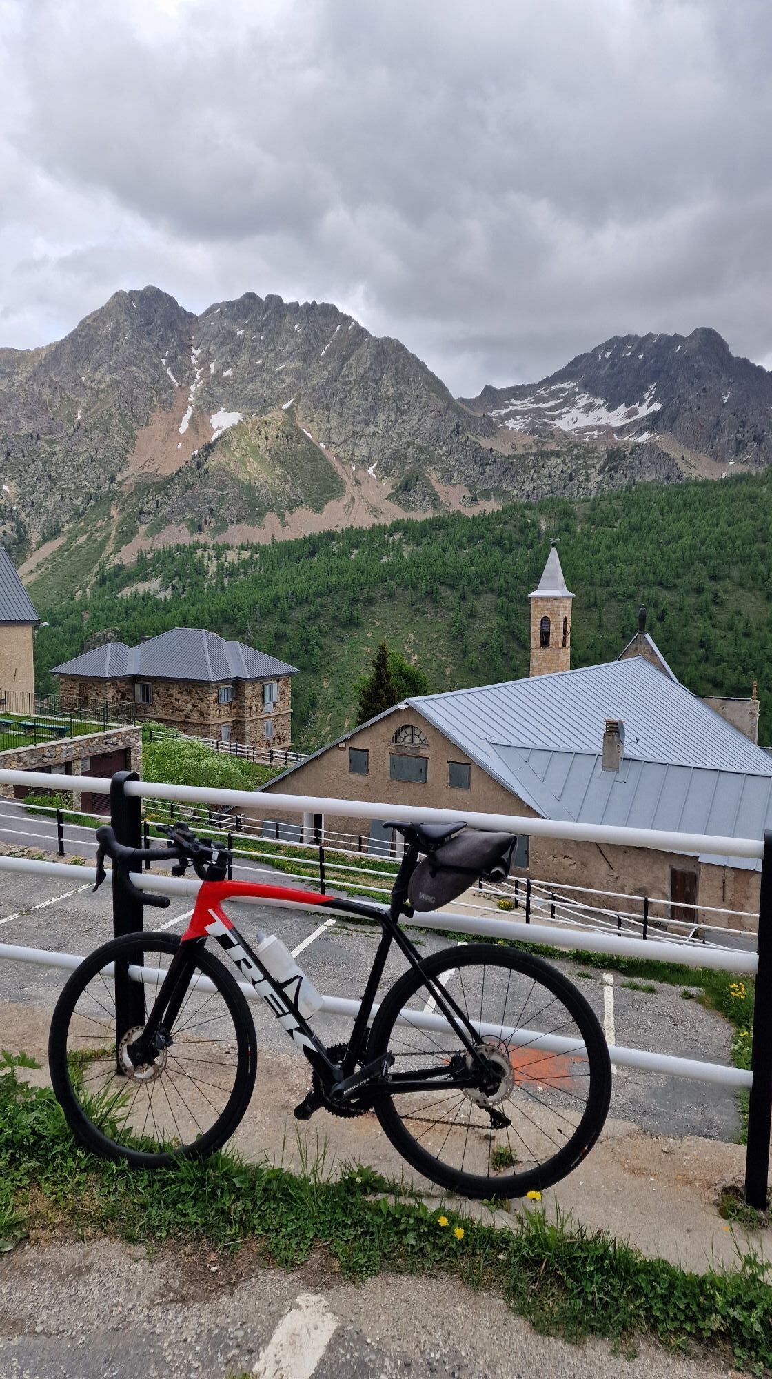
Santuario di Sant'Anna di Vinadio
(2.019 m)
Andachtsstätte
68,3 km
Toureninfo

Die Route ist von der Abfahrt vom Bahnhof Cuneo (und alternativ auch von der Piazza Torino - Ankunft des Busses) bis zur Ankunft vollständig markiert, mit weißen und roten Wegmarkierungen, die das Cammino-Logo über Aufkleber auf Metallstützen, Schildern und Plaketten an den Masten tragen wandern. Erst beim letzten Anstieg werden die Farben blau und gelb, da die Route mit der bereits bestehenden traditionellen Route übereinstimmt. Die Radroute weist einige Abweichungen von der Wanderroute auf, um Wege mit nicht fahrbarem Untergrund oder Steigungen und Einbahnstraßen zu vermeiden . In diesen alternativen Abschnitten gibt es keine Schilder oder Hinweispfeile, daher ist unbedingt die Nutzung des GPX-Tracks erforderlich. Diese Wegbeschreibung für eine einzelne Etappe von Cuneo zur Wallfahrtskirche kann individuell angepasst werden: Der größte Teil des Höhenunterschieds liegt auf den letzten 15 km und die saisonale Dauer der Teilnahme kann variieren, je nachdem, ob Sie sich dafür entscheiden, bis zur Wallfahrtskirche zu gehen oder nicht.

Technik
k.A.
Kondition
5 / 6
Landschaft
k.A.
Erlebnis
k.A.
Beste Jahreszeit
Jan
Feb
Mär
Apr
Mai
Jun
Jul
Aug
Sep
Okt
Nov
Dez
Autor
Die Tour St.-Anna-Weg wird von outdooractive.com bereitgestellt.
Logo
Tour teilen
Karte
St.-Anna-Weg
schwer
Mountainbike
68,38 km
Fehler
Ein Fehler ist aufgetreten. Bitte versuche es erneut.
Weginformationen
Einwegtour

Ja

Sicherheitshinweise

Attention must be paid to the transit of motor vehicles.

Zusatzinfos & Tipps
Tipps

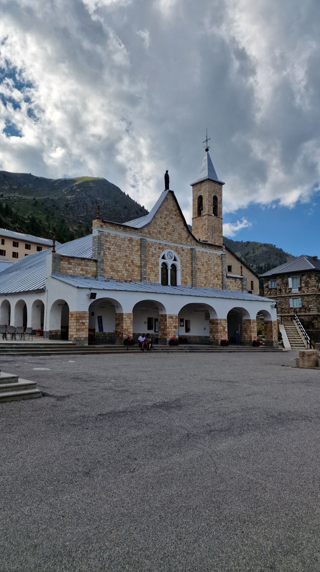
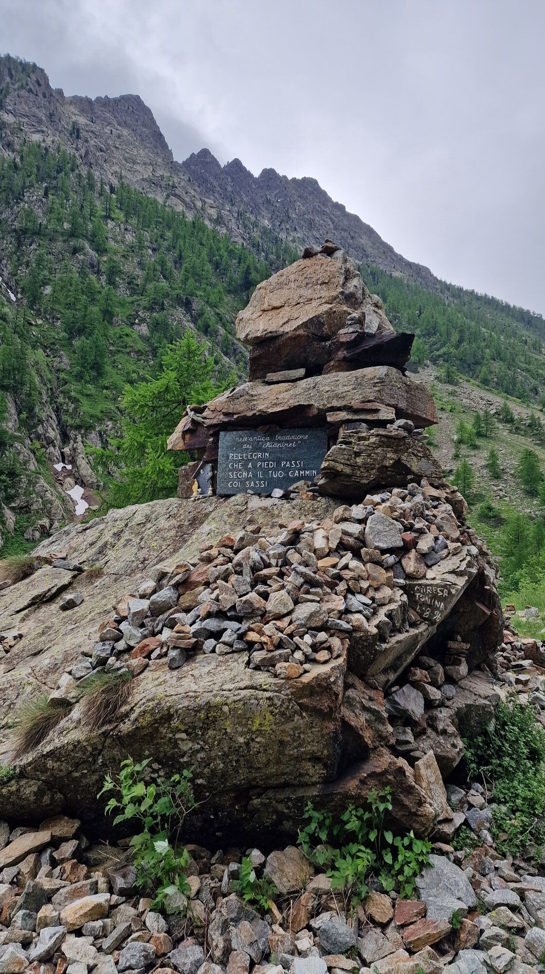
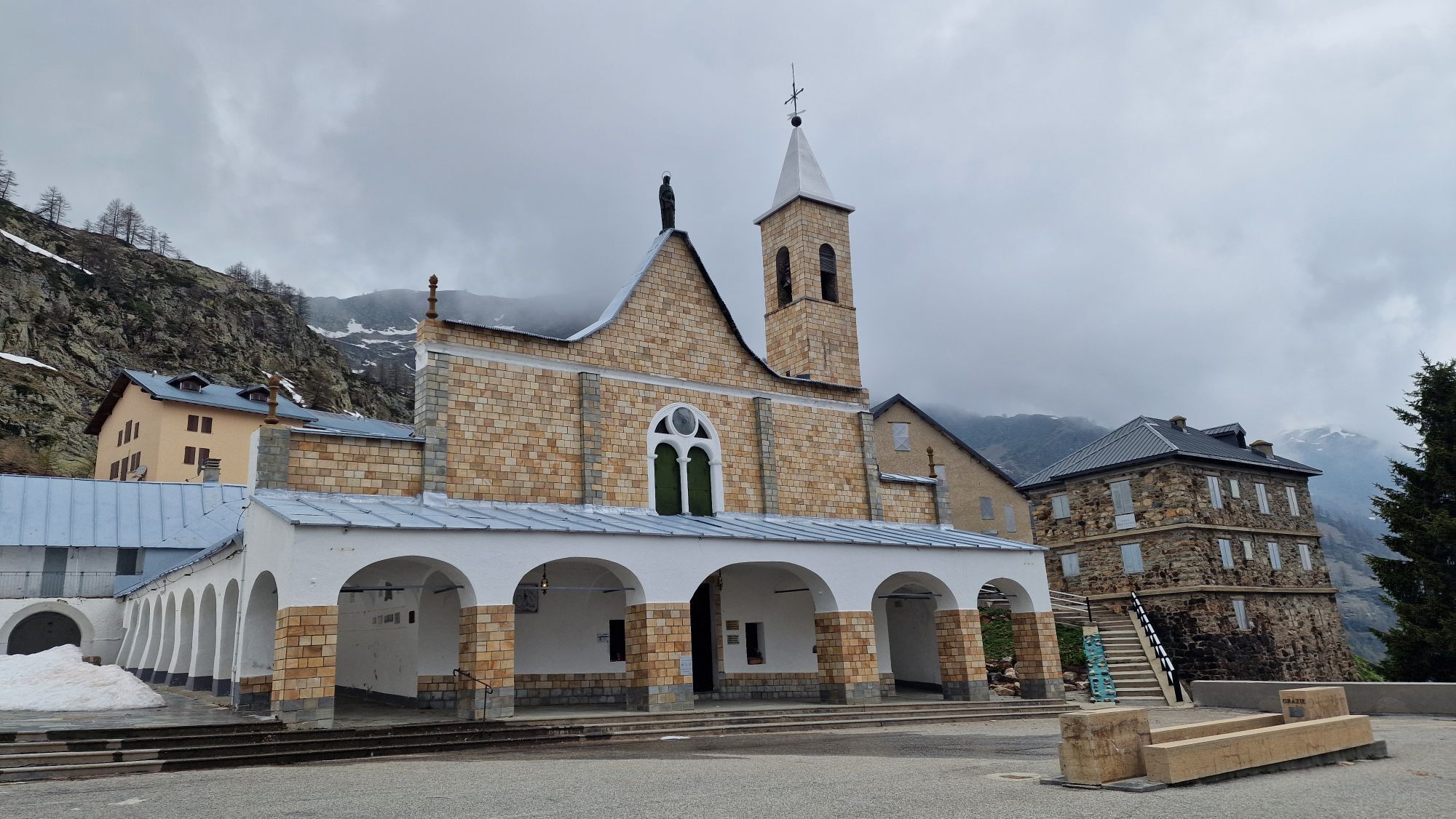
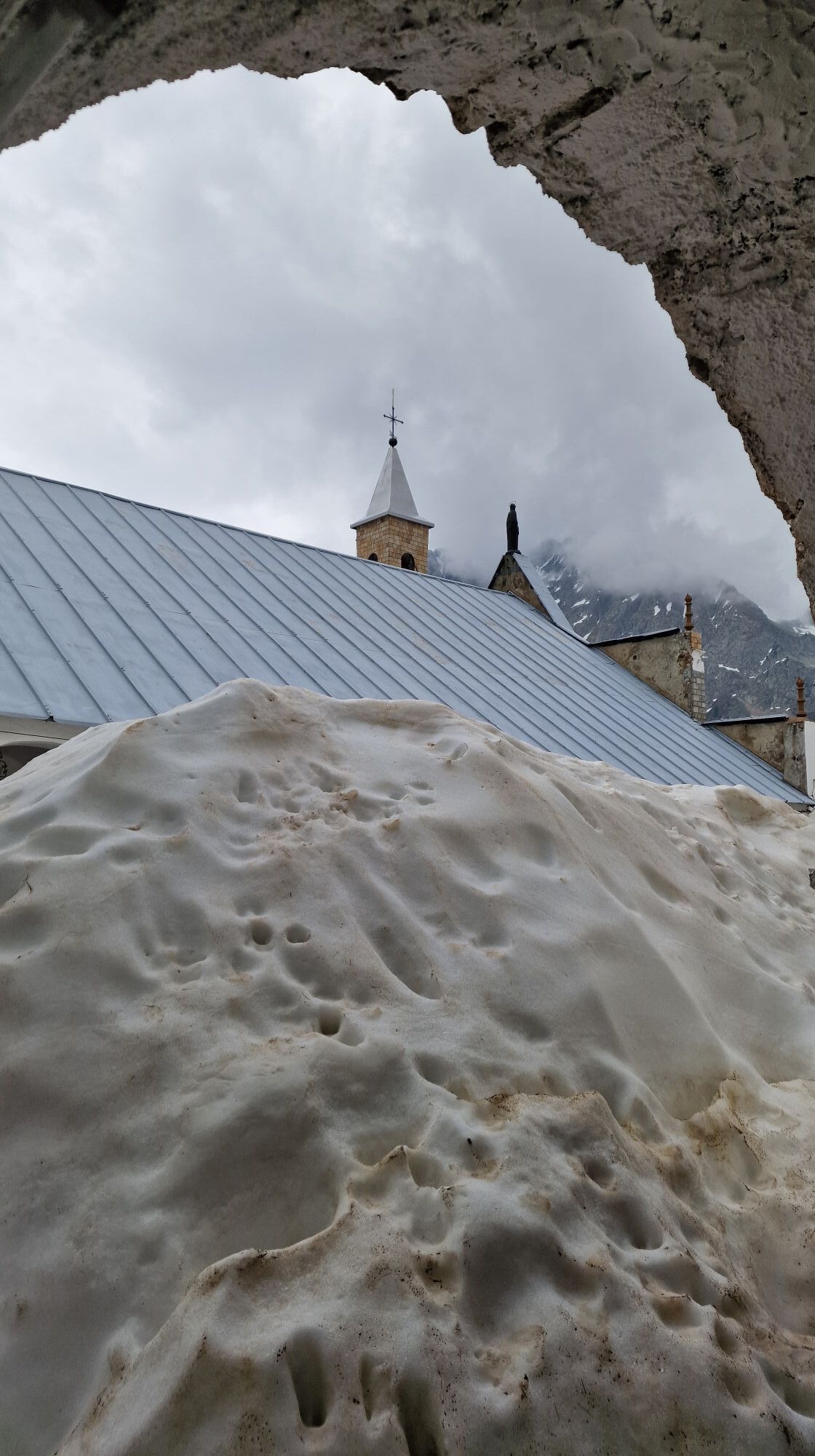
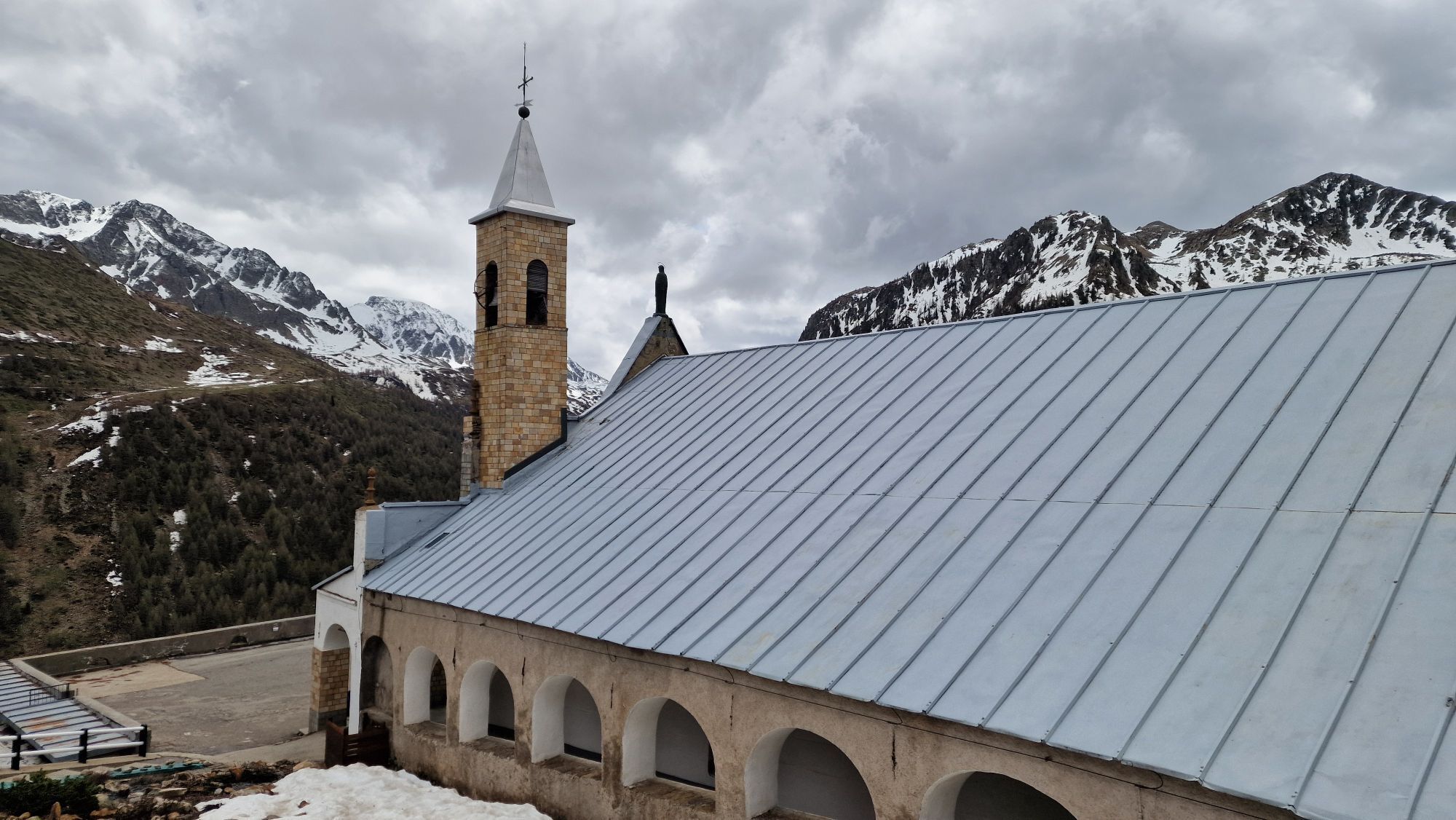
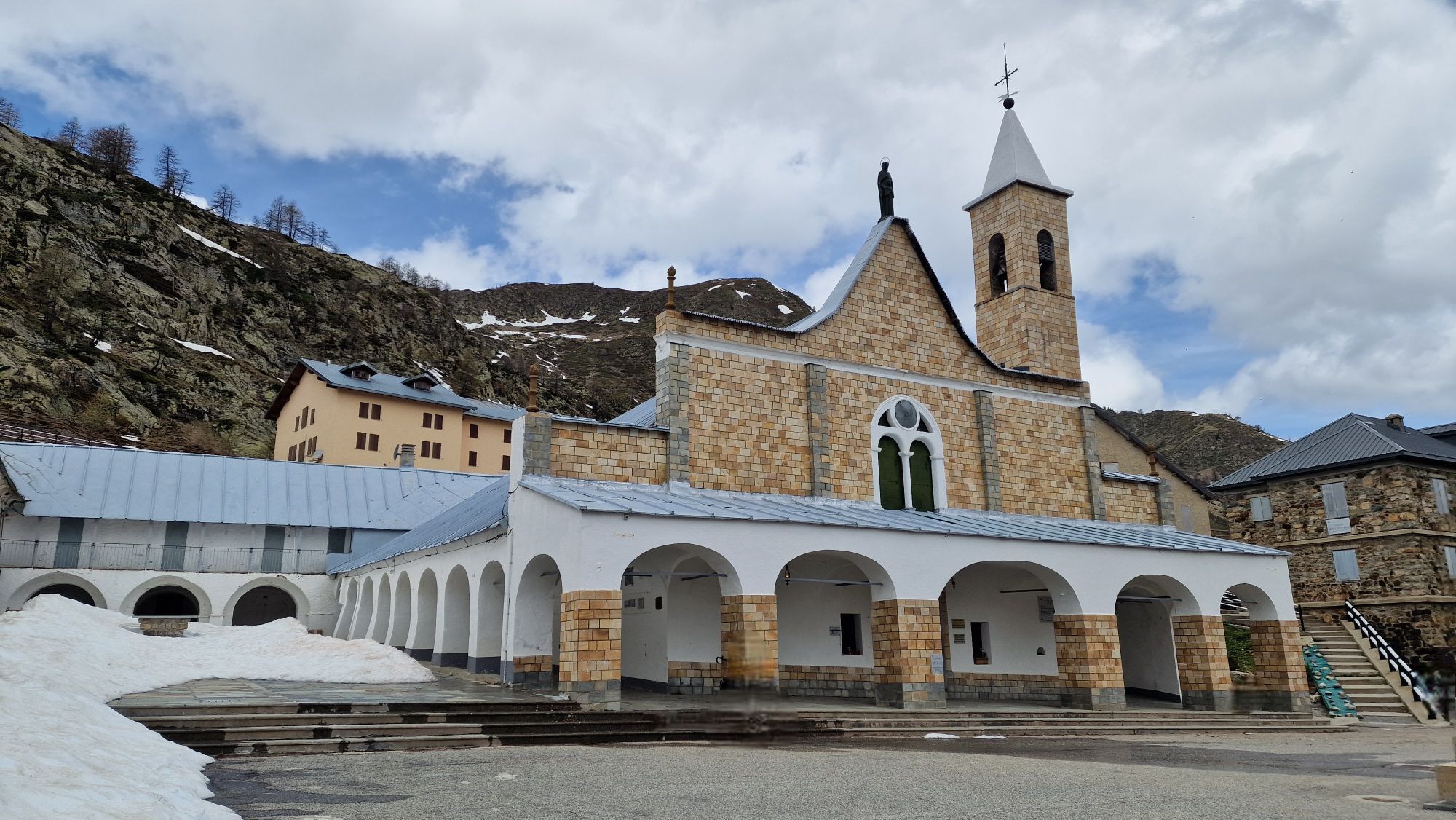
The Cammino di Sant'Anna is a religious route linked to the saint to whom the Sanctuary is dedicated, which was built in the homonymous valley, in Valle Stura, at an altitude of 2035 m.>br /< The place of worship was established between the 11th and 12th centuries as a hospice for wayfarers and dedicated to St. Maria di Brasca. Between the 15th and 16th centuries, the complex was dedicated to St. Anna. In 1681, the new church was inaugurated, of the same size as the current one and with a craggy wooden floor.>br /< Being a pilgrimage destination, the church complex is equipped with dormitories and a refreshment point.>br /< At Pratolungo, there is a stage post dedicated to the walk.>br /< There are numerous accommodation facilities and places to eat along the route, as well as e-bike rental services and tourist operators offering outdoor activities such as rafting, rivertrekking, climbing and cycling itineraries.

Noch keine Bewertungen
Bewertung schreiben

Bewertungen helfen anderen Usern bei der Auswahl ihres nächsten Abenteuers. Bewerte bitte nur die Tour, nicht das Wetter oder deine Jause.

Wähle einen der Sterne um die Tour zu bewerten
Schlechte Tour
Schwache Tour
Mittelmäßige Tour
Gute Tour
Ausgezeichnete Tour

Webcams der Tour

bergfex logoHol dir den Einblick Immer live vor Ort mit über 9.500 Webcams. In der Touren App von bergfex siehst du als Pro-User jetzt zu vielen Touren die passenden Webcams. So kannst du dir direkt die aktuellen Bedingungen ansehen.
Wandern & Tracking

Wandern & Tracking

für iOS herunterladenfür Android herunterladen
Wandern & Tracking
Über 550.000 Tourenvorschläge, detailliertes Kartenmaterial und ein intuitiver Routenplaner machen die App zum Must-have für alle Naturbegeisterten.
bergfex