







Mercurago Lagoni Park
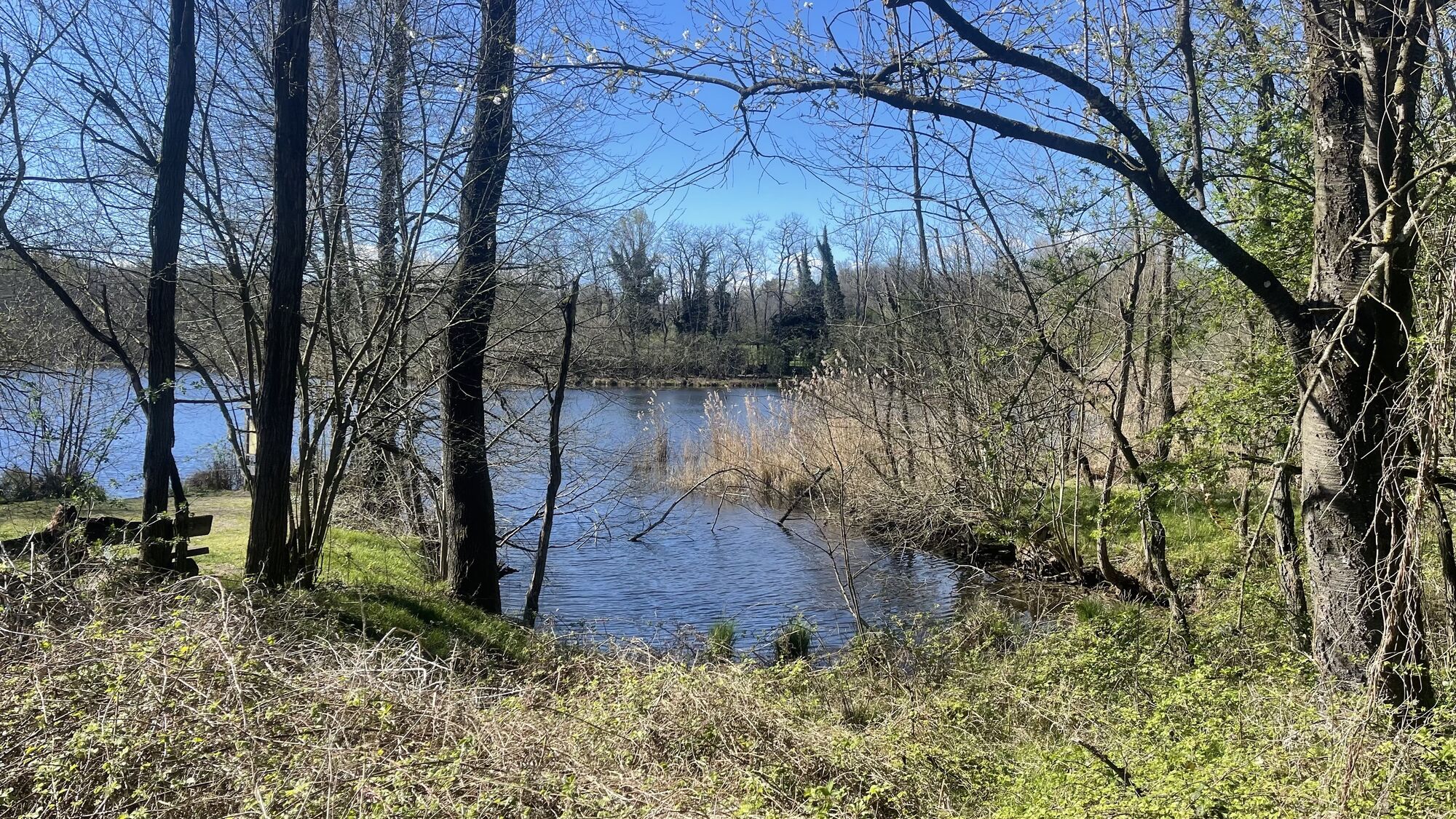
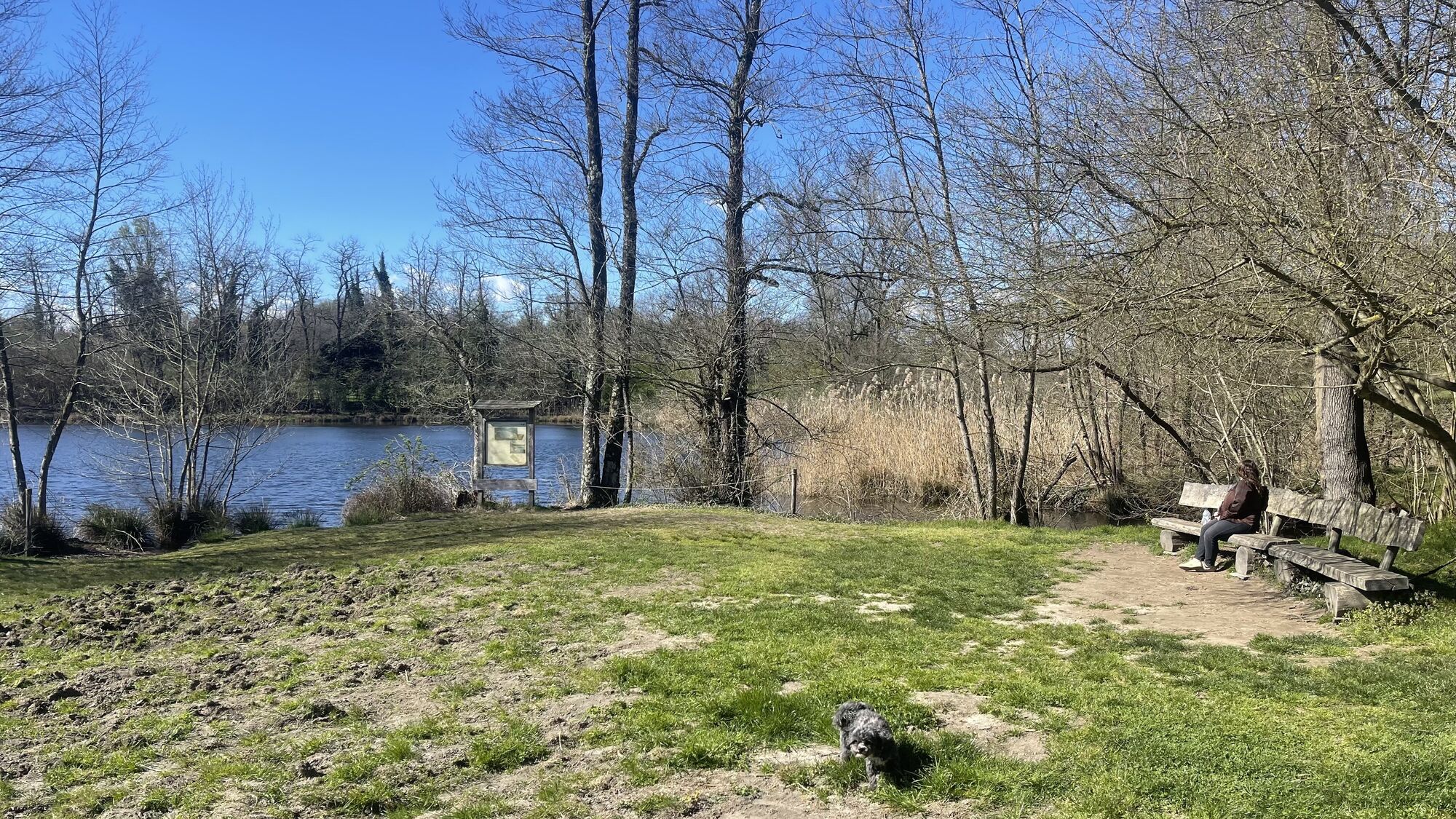
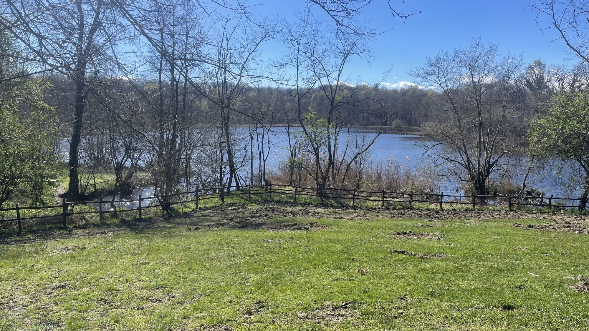
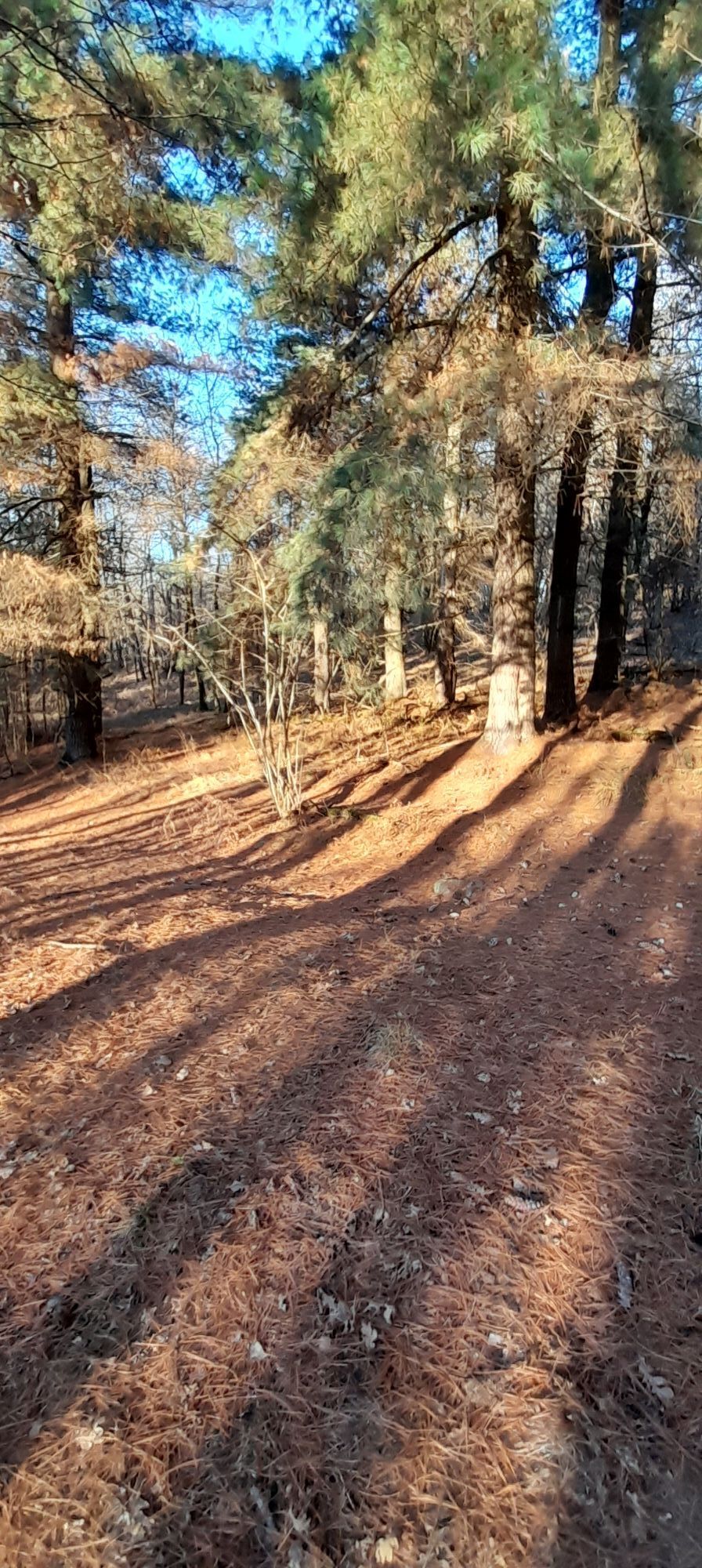
The departure point for this itinerary is at the entrance to the Lagoni di Mercurago Nature Park, where we can easily park our car.
We continue along the dirt road which climbs through the woods until we...
The departure point for this itinerary is at the entrance to the Lagoni di Mercurago Nature Park, where we can easily park our car.
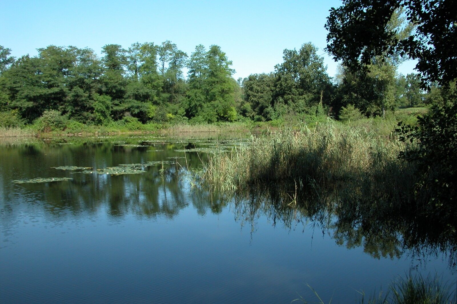
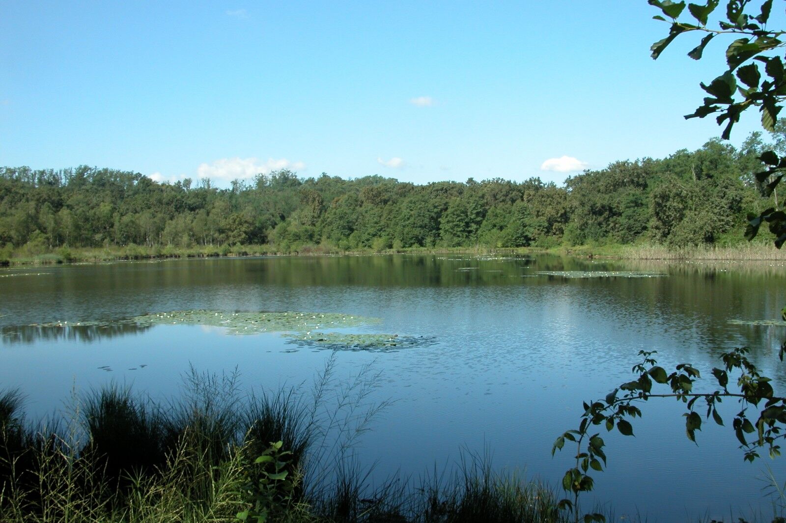
We continue along the dirt road which climbs through the woods until we reach a fork in the road where we turn left along the stra di pianèl da Gatic and then take the stra di Lagon, reaching the large lake on the left.
Now we continue straight ahead slightly uphill and reach a junction with a chestnut tree where we have to continue left downhill (on the right there is the stra dal Muntasc) reaching the asphalt road in via ai Lagoni: we turn right towards the village of Dormelletto.
We continue on the asphalt road and before reaching the centre of the village we turn right into via Fratelli Kennedy. At the next junction we turn left into via Monte Bianco and take a wide cobbled road.
When we reach the top of the slope we turn right into via Camotto and continue on a dirt road (stra dal Muntasc) reaching again the junction with the chestnut tree we encountered earlier. Now we follow the same route as before, but just before the large lake we turn left onto the stra d'la Buscarola and continue alongside the horse riding stables on the right. At the next crossroads we keep to the right (signs for stra d'la Buscarola), passing the picnic area and a pine forest on the left until we reach a farmhouse near the electric pylons.
Now we turn right and take a path signposted as senté dal Custon that runs along the archaeological area and then along the senté dal Fòs. At the next crossroads, we turn left into stra di Sèl and then continue straight on to the stra di pianèl da Gatic.
The path descends to a bend where we turn right uphill and take the senté dal Busch.
We now continue on a flat stretch, always following the signs for senté di Busch and we reach the area of the pond. Near the crossroads with stra d'la Pül, we turn right and continue along the wetland area until the next crossroads, where we turn right again. After passing a few houses on the left, we continue to the right along Stra del Bagaìn and return to the crossroads with the small chapel that we passed on the way up. Keeping to the left we return towards the park exit, our point of arrival.


Duration 1 hour
Lagoni di Mercurago Nature Park and nearby, Arona
Hol dir den Einblick Immer live vor Ort mit über 9.500 Webcams. In der Touren App von bergfex siehst du als Pro-User jetzt zu vielen Touren die passenden Webcams. So kannst du dir direkt die aktuellen Bedingungen ansehen.Beliebte Touren in der Nähe
- 5,0
Rundfahrt um den Lago Maggiore
schwerRennrad 162,8 km - 4,7
Coiromonte - Monte del Falò
mittelWanderung 6,16 km Auf den Hügeln von Cavallirio und Boca
leichtWanderung 9,73 kmIn den Hügeln von Borgomanera
mittelMountainbike 41,3 kmVon der Reis-Ebene zu den Moränenhügeln des Mittleren Novarese
schwerMountainbike 45,9 kmBicinVigna mit Antonelli - Rosa-Route
mittelMountainbike 40,9 kmEntlang der Roggia Mora und Agogna in den Novareser Hügeln
mittelMountainbike 40,2 kmBicinVigna con Antonelli - Itinerario Grigio
mittelMountainbike 25,2 kmVon Invorio nach Armeno durch die Dörfer von Vergante
mittelMountainbike 41,0 kmAnello verde del Lago d'Orta
schwerMountainbike 50,4 km
Wandern & Tracking


Verpasse keine Angebote und Inspirationen für deinen nächsten Urlaub
Deine E-Mail-Adresse wurde in den Verteiler eingetragen.





