






Unteriberg, circular hike Spital-Regenegg
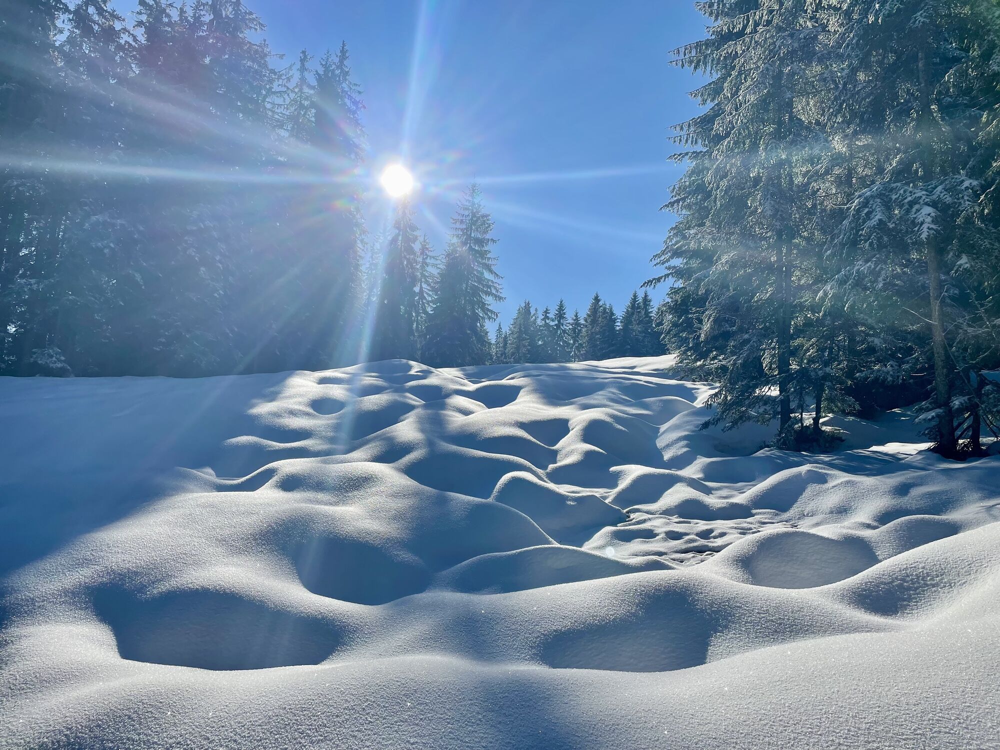
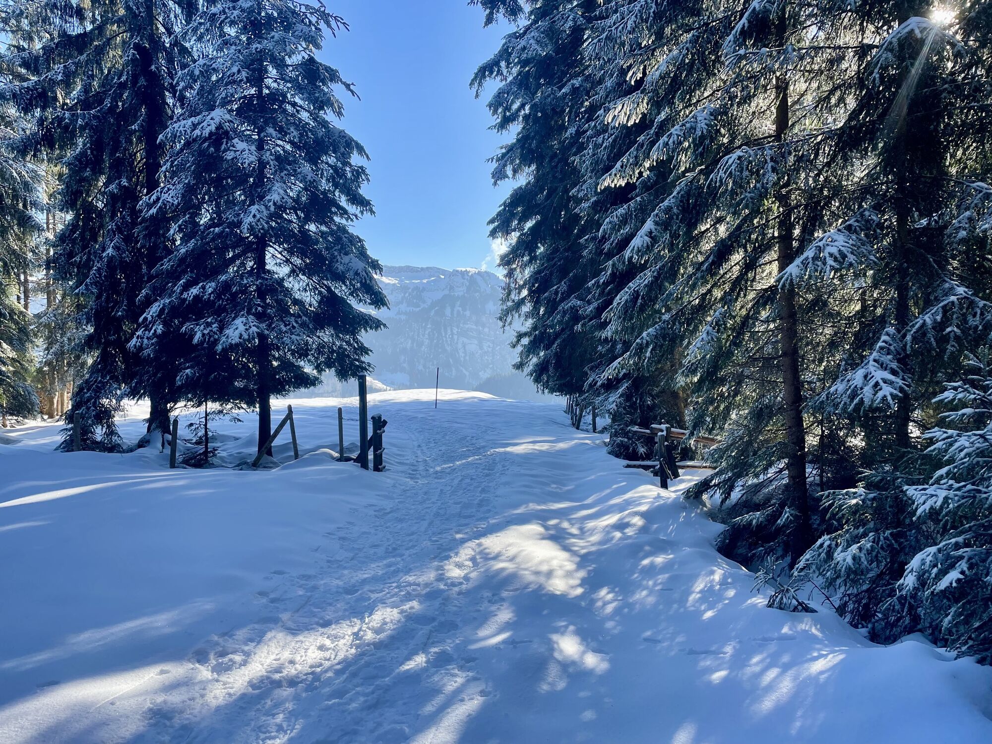
You start at the bus stop Guggelstrasse at Minsterplatz 928m in Unteriberg. Follow the signs to "Nidlau/Spital". After a short hike you reach the residential quarter Nidlau and reach the Nidlaubach with...
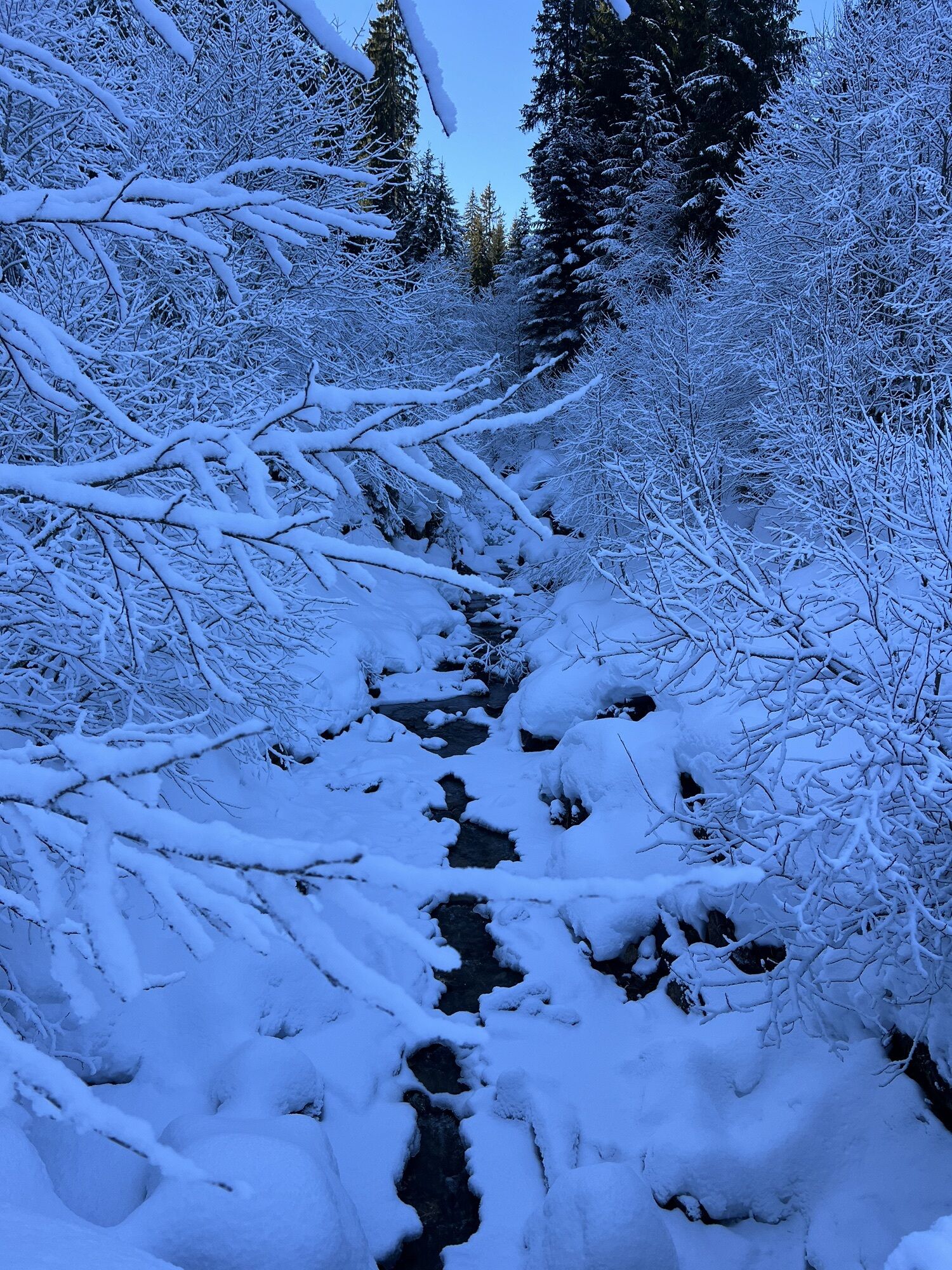
You start at the bus stop Guggelstrasse at Minsterplatz 928m in Unteriberg. Follow the signs to "Nidlau/Spital". After a short hike you reach the residential quarter Nidlau and reach the Nidlaubach with the suspension bridge built in 2015. On the other side of the stream are four wooden sculptures created by local artists. A short detour across the bridge, which is worthwhile.
Back again, follow the signs to Spital via Blätz and Adler. Here you will also find several wooden sculptures next to the hiking trail in the forest. After the eagle, the trail leads almost to Spitalhütte(hut) on a gravel road until it changes to the alpine meadow.
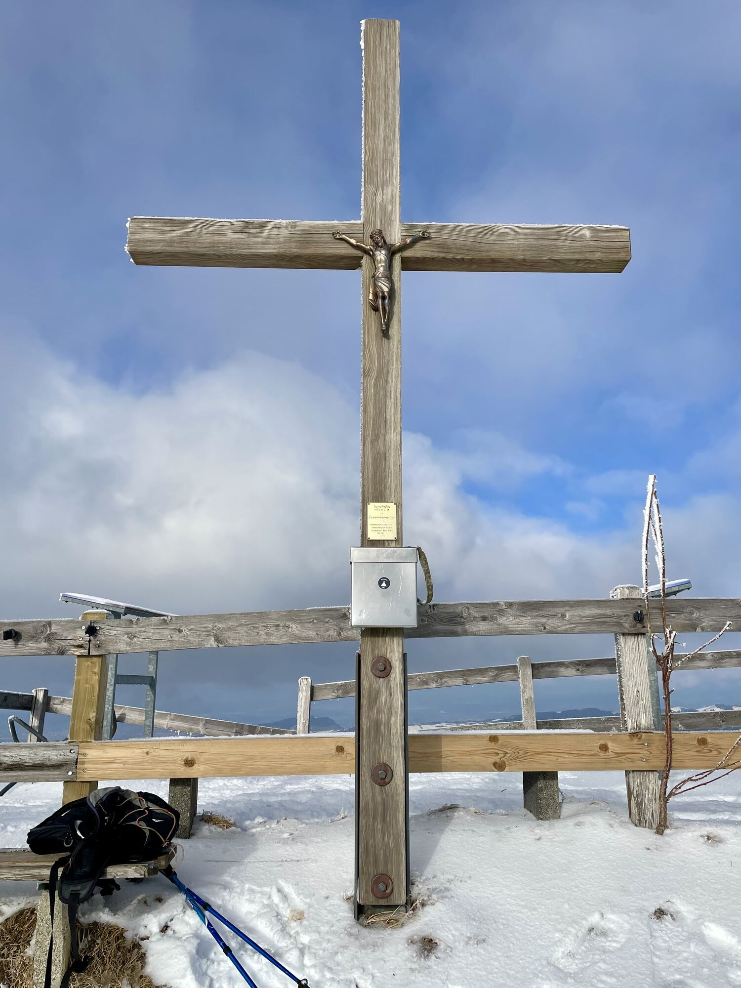
Arrived at Spital 1574 m above sea level you can find out about the names of the surrounding peaks from near and far on the lookout pictogram.
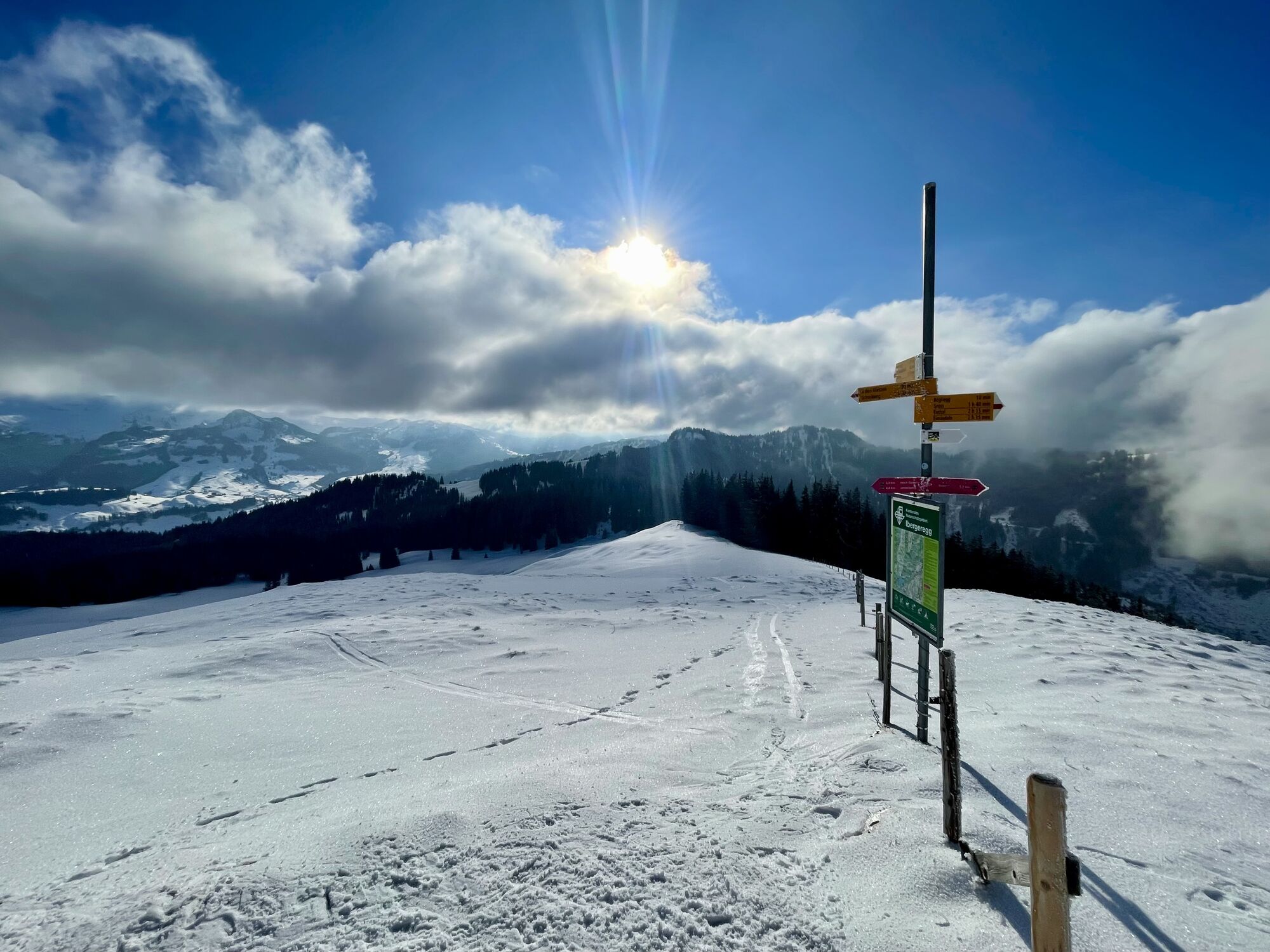
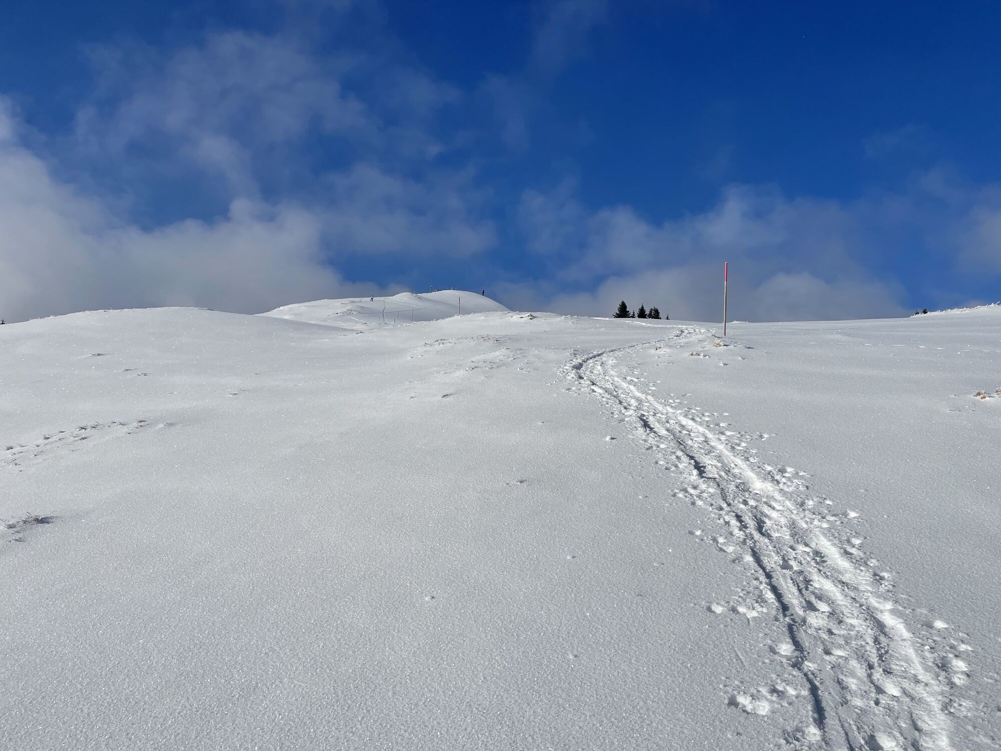
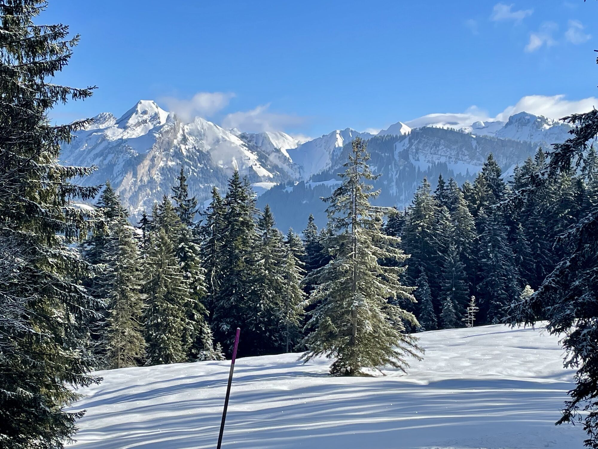
Take the path towards Regenegg. In the fen, wooden bows ensure a good passage. On Regenegg 1531 m the second point with a wonderful view of the Ybrig mountains is reached.
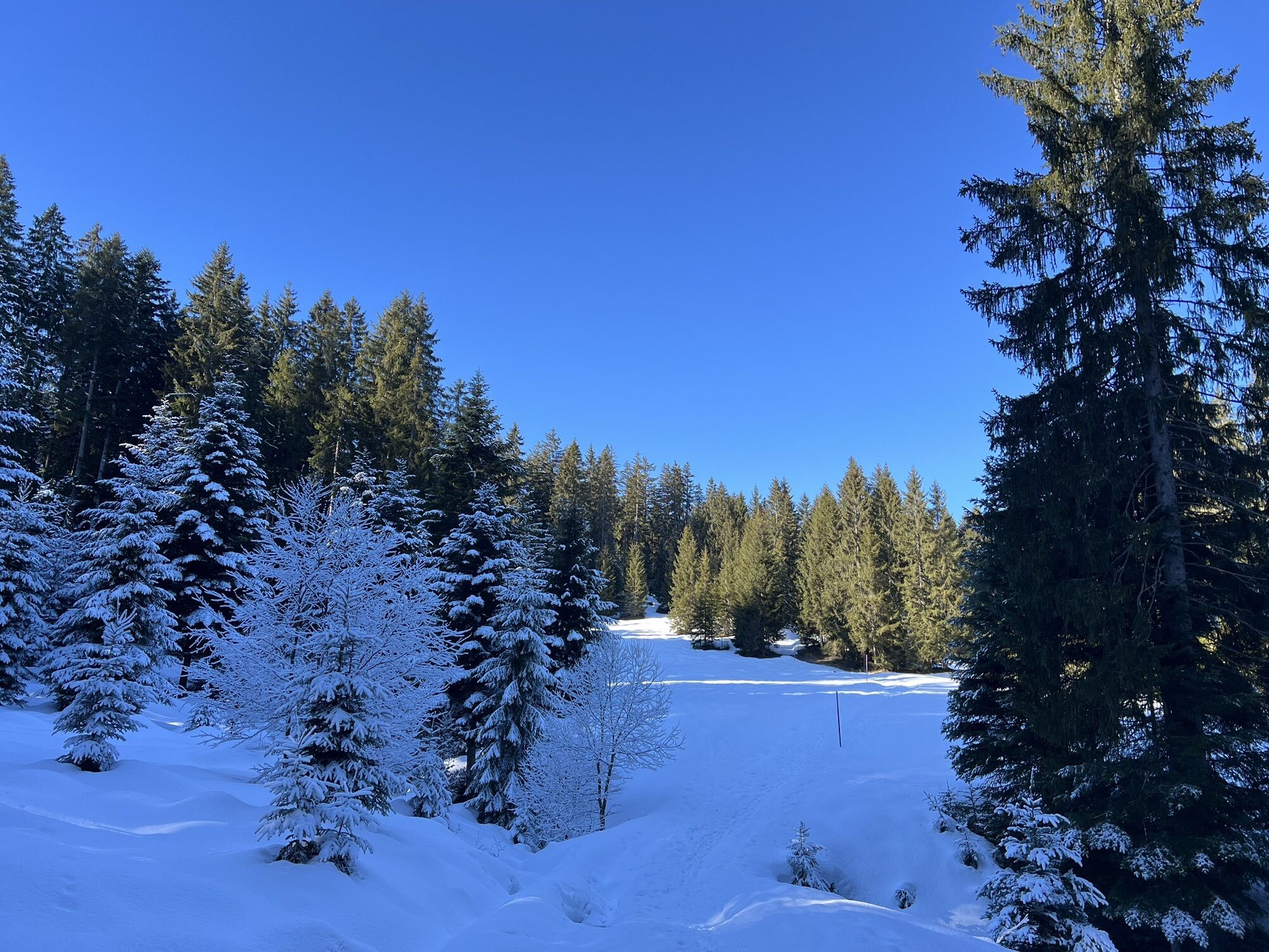
Our circular trail leads you first across the alpine meadow, then through the forest in Schatteneggen. After crossing the road continue through the forest until you reach Höchgütschstrasse. On the road the path leads to the mountain restaurant Höchgütsch and from there via Alp Plangg to its starting point on Minsterplatz.
At Bergasthaus Höchgütsch children will find a paradise with various animals, playground and a fairy path.
From the Spital it would also be possible to continue hiking to Gross, Euthal or Einsiedeln in about two hours.

Unteriberg-Nidlau-Nidlaubach-Blätz-Adler-Spital-Regenegg-Höch Gütsch-Unteriberg
Hiking map Ybrig, available at Ybrig Tourism
Good footwear and rain protection
Take the A3 motorway to the Richterswil/Schindellegi exit and continue in the direction of Samstagern, Biberbrugg, Einsiedeln. Then follow the signs in the direction of Ybrig to Oberiberg.
By train to Einsiedlen, then by post bus to Unteriberg Guggelstrasse
Free parking at the Guggelsstrasse
Hiking option: From the Spital it is possible to continue in about 2 hours to Gross, Euthal or Einsiedeln.
Hol dir den Einblick Immer live vor Ort mit über 9.500 Webcams. In der Touren App von bergfex siehst du als Pro-User jetzt zu vielen Touren die passenden Webcams. So kannst du dir direkt die aktuellen Bedingungen ansehen.Beliebte Touren in der Nähe
- 4,3
Mythenweg - Bergwanderung auf den Grossen Mythen
schwerWanderung 3,40 km - 4,4
Kleiner Mythen
mittelWanderung 6,31 km - 4,9
Rhodannenberg - Vorder Ruestelchopf - Vorauen - Steppel
Wanderung 13,6 km - 4,5
Brunni-Feuerstellen-Rundwanderung
leichtWanderung 11,5 km - 4,7
Mythen via Ibergeregg
mittelWanderung 9,73 km - 5,0
Chli Aubrig
leichtWanderung 8,51 km - 5,0
Wanderung entlang der Mythen, Alp "Zwüschet-Mythen"
mittelWanderung 10,5 km - 4,8
Holzegg - Grosser Mythen - Restaurant Grosser Mythen - Alpwirtschaft Brunnialp
mittelWanderung 5,66 km - 4,7
Klöntalersee
leichtWanderung 14,5 km - 4,2
Bockmattli
mittelWanderung 12,4 km
Wandern & Tracking


Verpasse keine Angebote und Inspirationen für deinen nächsten Urlaub
Deine E-Mail-Adresse wurde in den Verteiler eingetragen.





