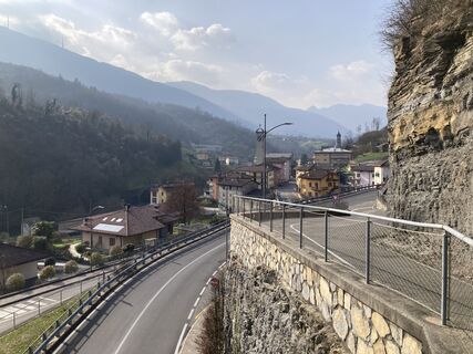
Chiesa - Snoopy - Chiesa di San Giacomo - Serina
schwer
Navigieren
Navigieren
Hol diese Tour auf dein Handy
Chiesa - Snoopy - Chiesa di San Giacomo - Serina
schwer
Radfahren
87,28
km
QR-Code scannen und Navigation in der bergfex App beginnen

Wandern & Tracking


Chiesa - Snoopy - Chiesa di San Giacomo - Serina
schwer
Distanz
87,28
km
Dauer
07:15
h
Aufstieg
2.325
hm
Seehöhe
252 -
1.065
m
Track-Download
Chiesa - Snoopy - Chiesa di San Giacomo - Serina
schwer
Radfahren
87,28
km
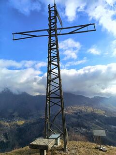
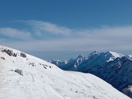
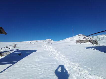
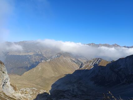
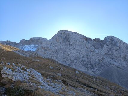
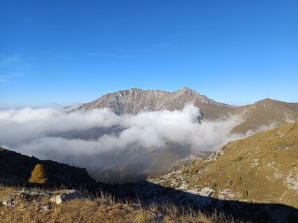
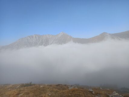
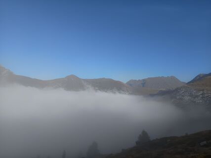
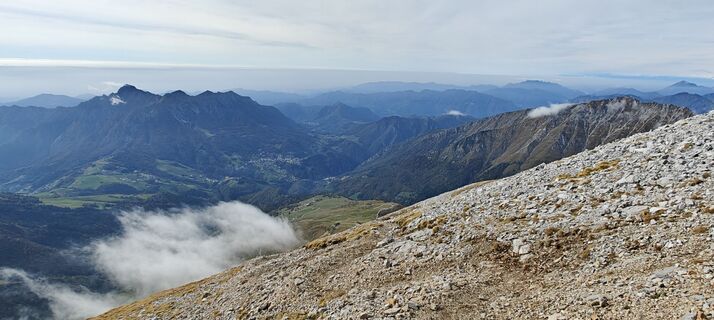
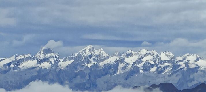
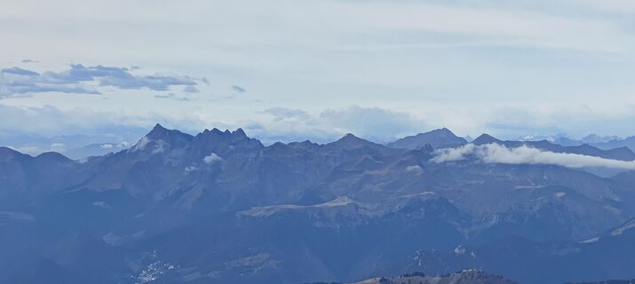
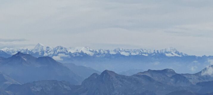
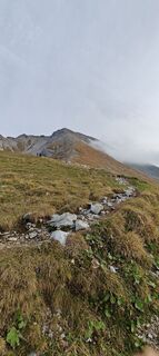
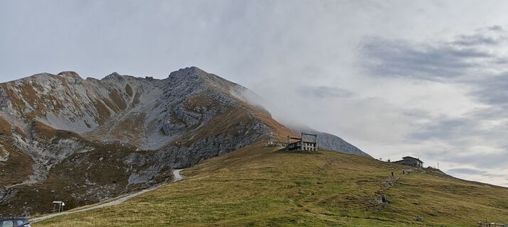
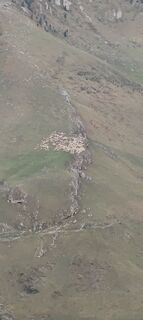
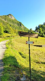
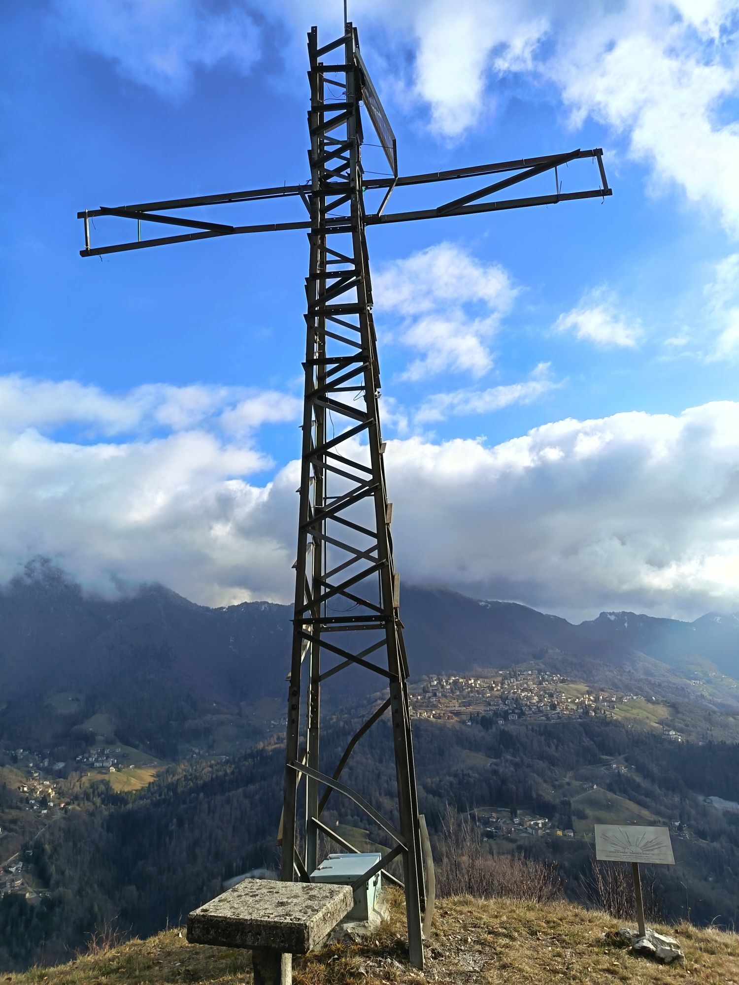
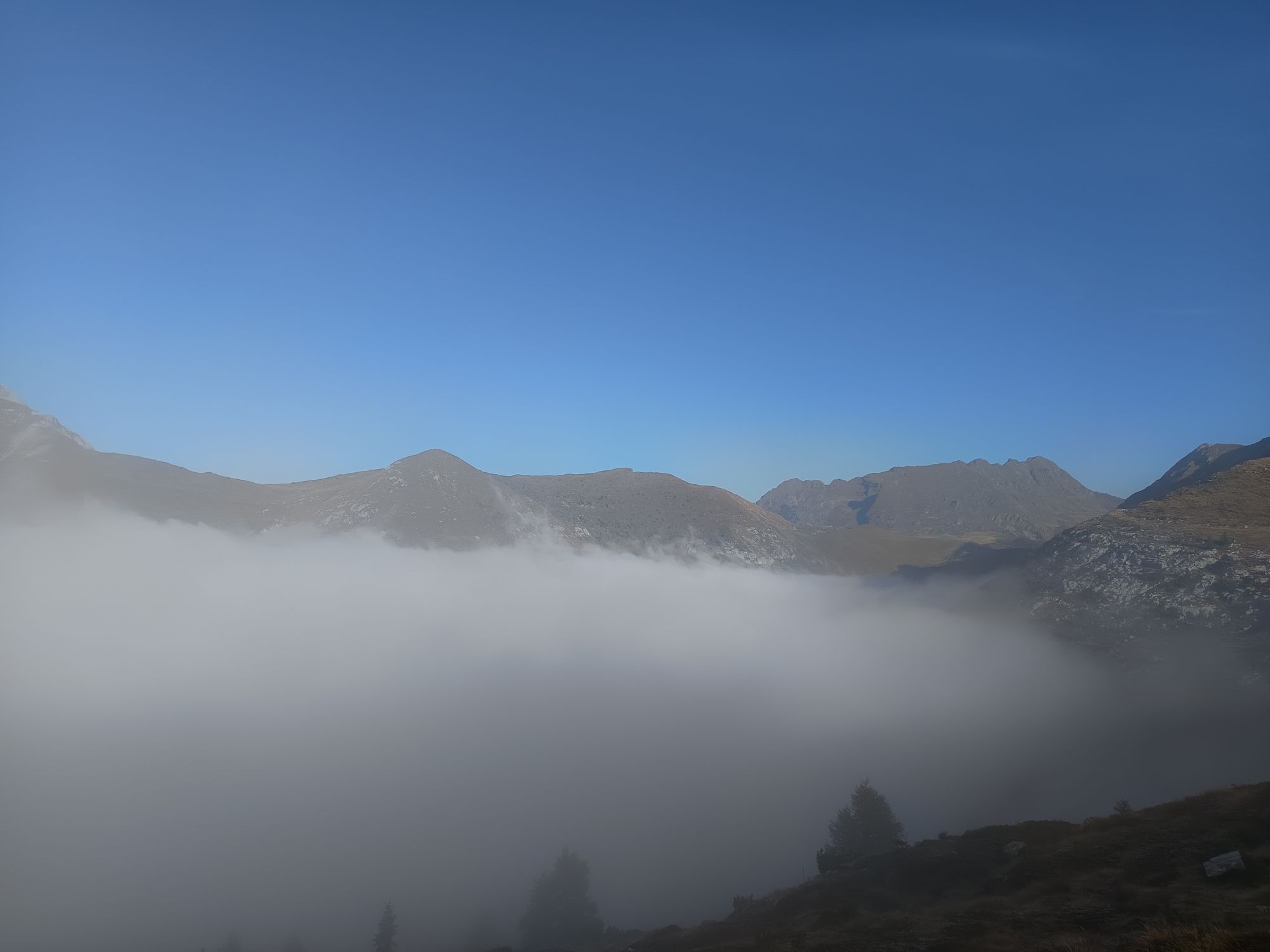
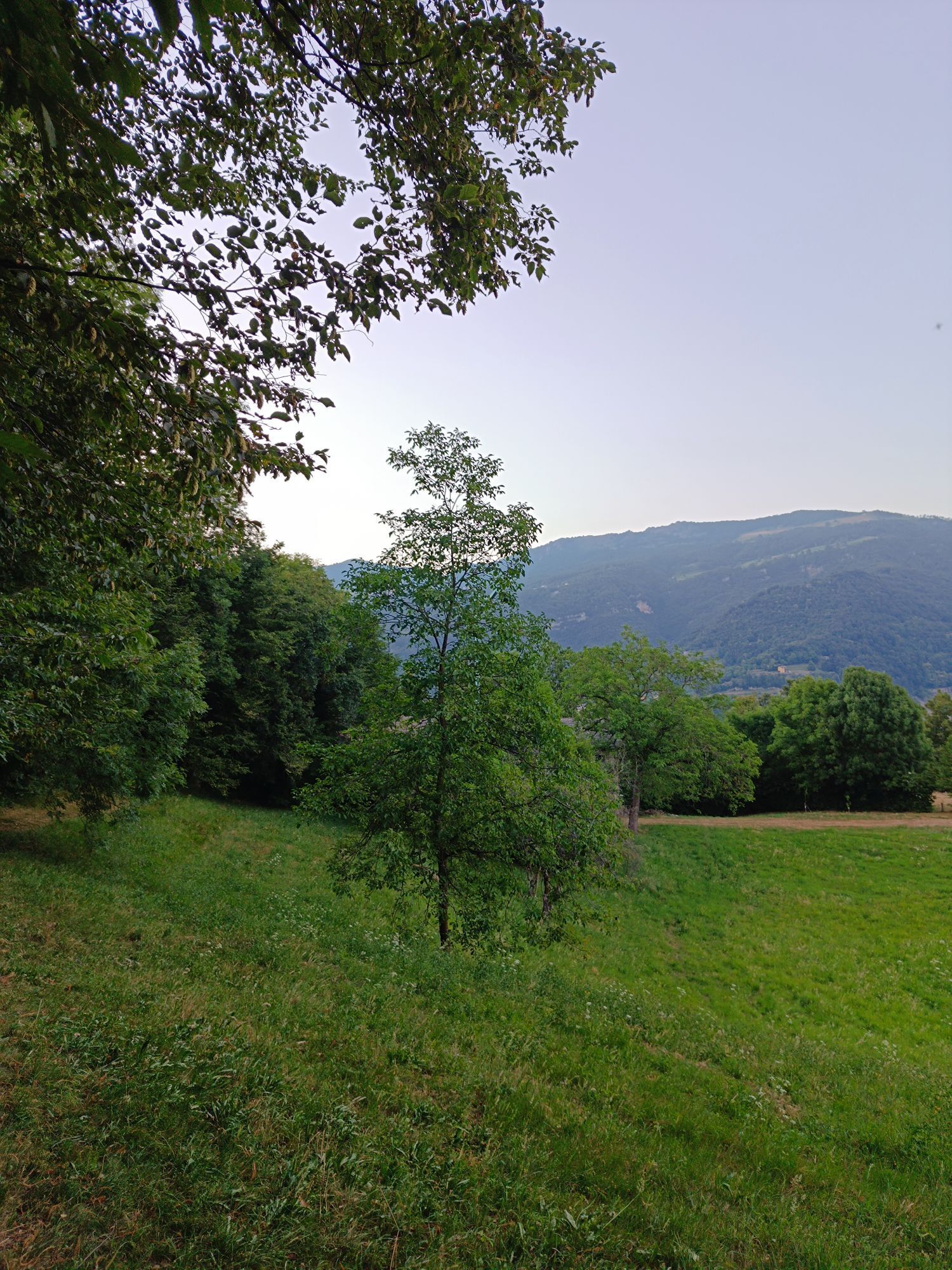
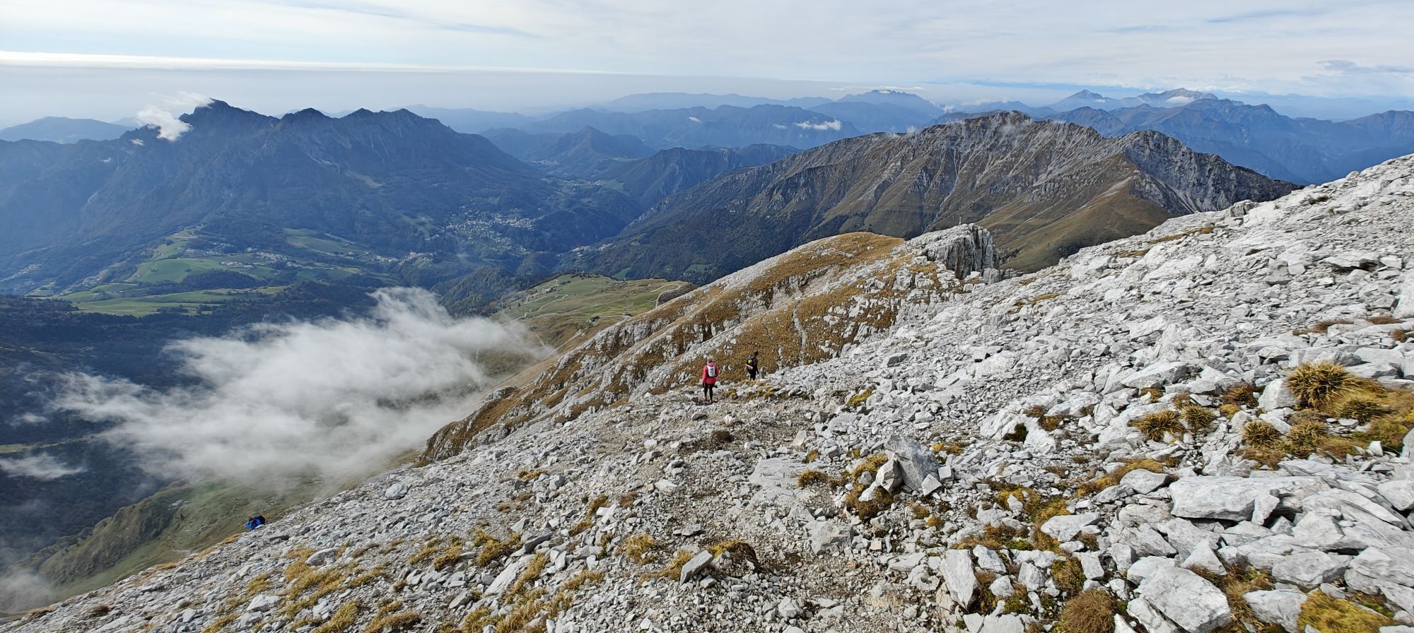
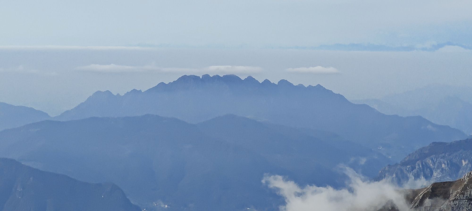
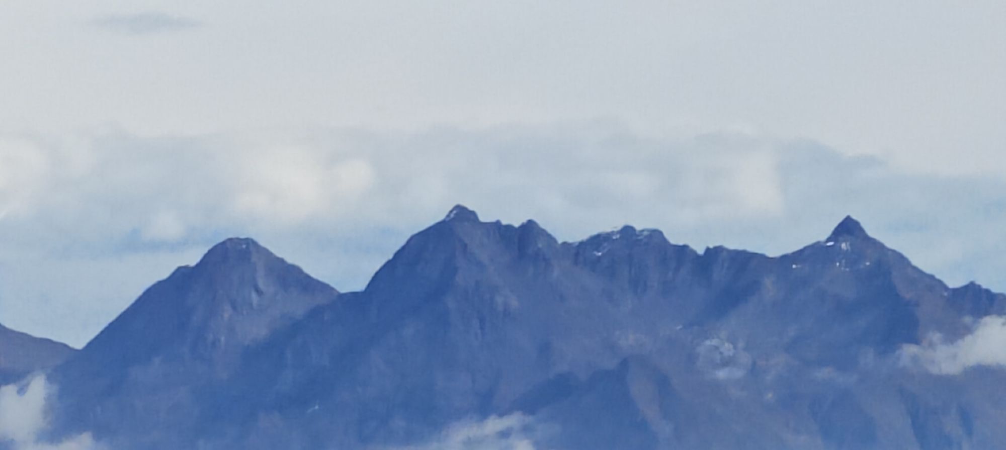
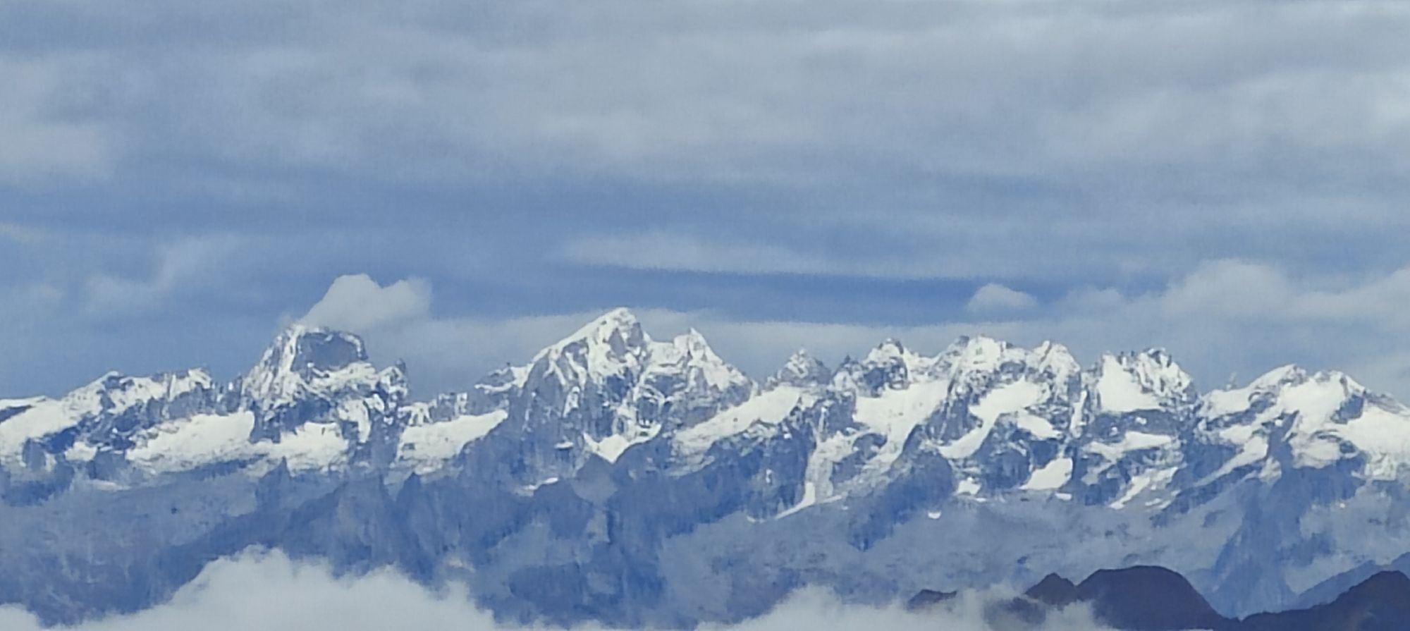
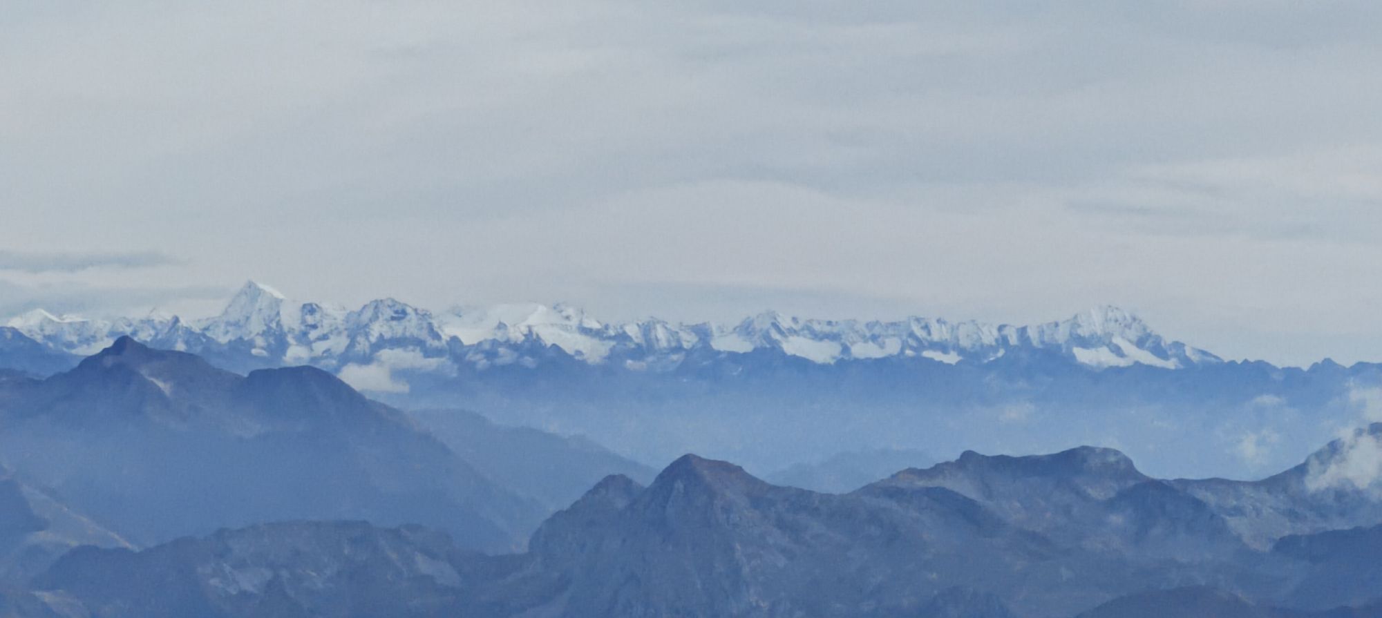
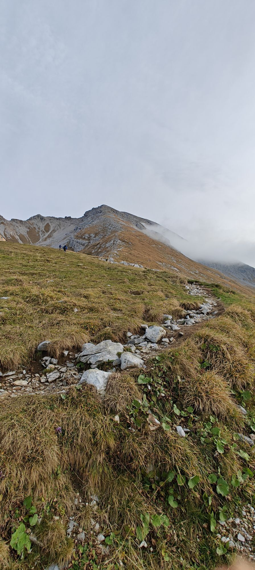
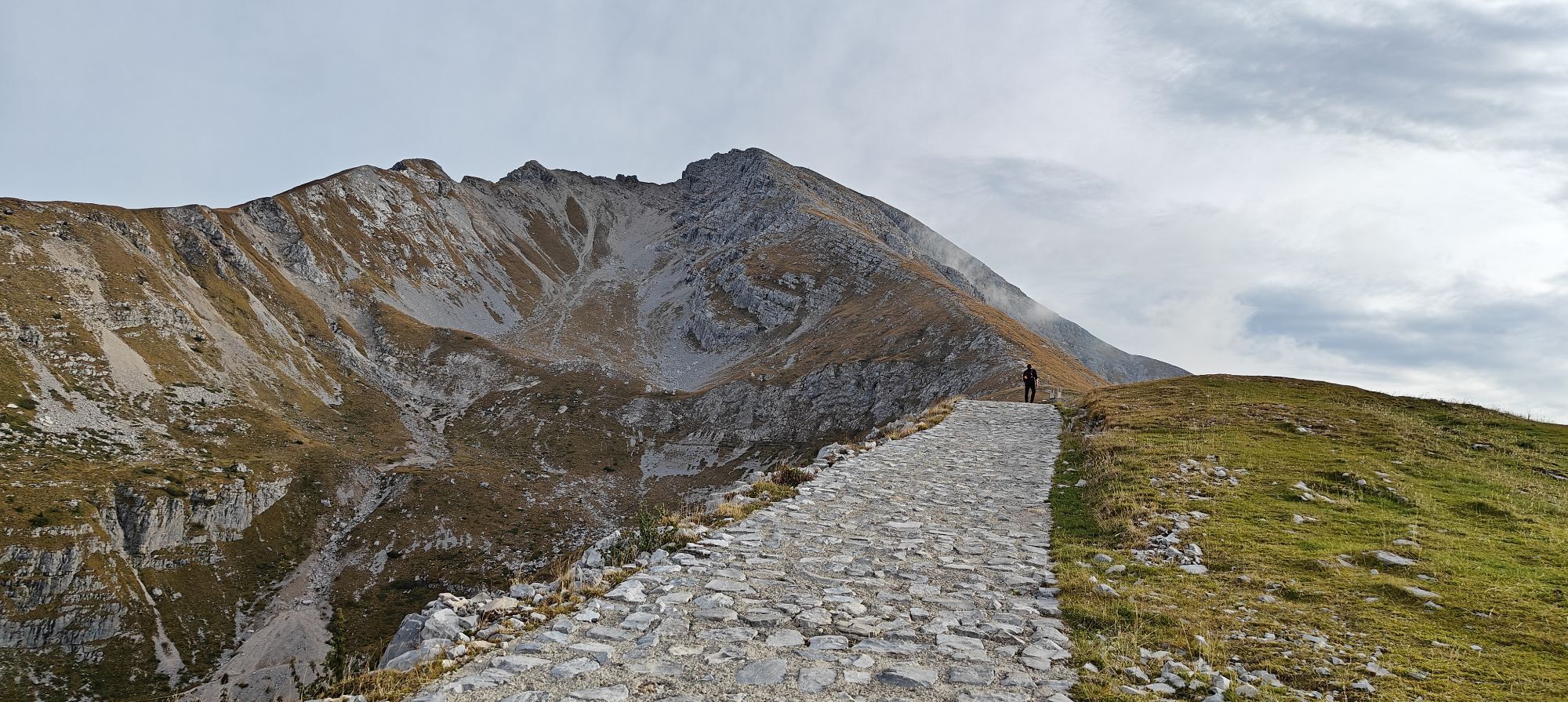
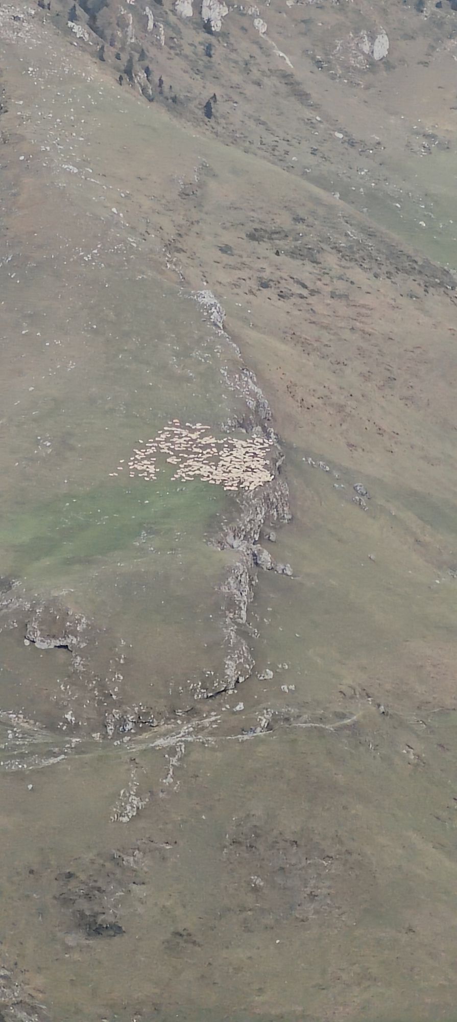
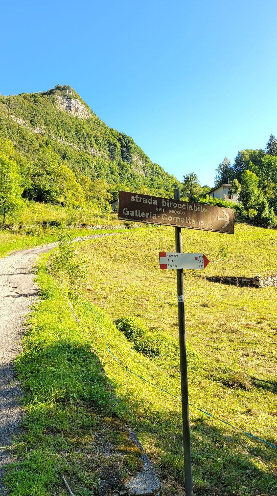
Fotos unserer User
-
 © Marilena LocatelliErstellt am 08.03.2026
 -
 © Marilena LocatelliErstellt am 08.03.2026
 -
 © Gabriele RavasiErstellt am 31.12.2025
 -
 © DanieleErstellt am 22.11.2025
 -
 © DanieleErstellt am 22.11.2025
 -
 © Gloria 1Erstellt am 18.10.2025
 -
 © Gloria 1Erstellt am 18.10.2025
 -
 © Gloria 1Erstellt am 18.10.2025
 -
 © Gloria 1Erstellt am 18.10.2025
 -
 © Gloria 1Erstellt am 18.10.2025
 -
 © Gloria 1Erstellt am 18.10.2025
 -

 © Stefano ArosioErstellt am 28.06.2025
 -

 © Daniele SpeziaErstellt am 13.10.2024
 -
 © Daniele SpeziaErstellt am 13.10.2024
 -
 © Daniele SpeziaErstellt am 13.10.2024
 -
 © Daniele SpeziaErstellt am 13.10.2024
 -
 © Daniele SpeziaErstellt am 13.10.2024
 -
 © Daniele SpeziaErstellt am 13.10.2024
 -
 © Daniele SpeziaErstellt am 13.10.2024
 -
 © Daniele SpeziaErstellt am 13.10.2024
 -
 © Daniele SpeziaErstellt am 13.10.2024
 -
 © Daniele SpeziaErstellt am 13.10.2024
 -
 © Daniele SpeziaErstellt am 13.10.2024
 -
 © DARIO EZIO GhilardiErstellt am 07.08.2023


Wegverlauf
Chiesa
(818 m)
Andachtsstätte
0,5 km
Madonna della Neve
(330 m)
Andachtsstätte
12,9 km
Chiesa di San Giacomo
(319 m)
Andachtsstätte
18,7 km
Chiesa di Sant'Antonio Abate
(675 m)
Andachtsstätte
38,2 km
Chiesa di San Giacomo
(813 m)
Andachtsstätte
52,4 km
Chiesa di San Giovanni
(378 m)
Andachtsstätte
69,6 km
Chiesa della SS. Trinità
(988 m)
Andachtsstätte
78,9 km
Wegverlauf
Chiesa - Snoopy - Chiesa di San Giacomo - Serina
schwer
Radfahren
87,28
km
Chiesa
(818 m)
Andachtsstätte
0,5 km
Serina
(804 m)
Dorf
0,9 km
Pizza & Fichi
(788 m)
Restaurant
1,1 km
Parco giochi
(744 m)
Spielplatz
1,6 km
Snoopy
(745 m)
Restaurant
1,8 km
Rosolo
(612 m)
Siedlung
4,1 km
Cascata della Bernarda
(532 m)
Wasserfall
6,0 km
Pagliaro
(632 m)
Dorf
6,5 km
Algua
(444 m)
Dorf
7,0 km
Follo
(431 m)
Siedlung
7,3 km
Galleria
(425 m)
Siedlung
7,6 km
Strada Consorziale
(540 m)
Siedlung
7,8 km
Bracca
(593 m)
Dorf
8,2 km
Ponte Merlo
(400 m)
Siedlung
8,5 km
Sottoripa Usdè
(447 m)
Siedlung
8,5 km
Pozze
(397 m)
Siedlung
8,9 km
Ristorante Giancarlo
(368 m)
Restaurant
9,9 km
Ambria
(327 m)
Dorf
11,4 km
Acquada
(320 m)
Siedlung
12,3 km
Contrada Angelini
(316 m)
Siedlung
12,5 km
Madonna della Neve
(330 m)
Andachtsstätte
12,9 km
Trefontane
(316 m)
Siedlung
12,9 km
Chiesa della Natività di Maria Vergine
(322 m)
Andachtsstätte
13,1 km
Chiesa di Nostra Signora del Sacro Cuore di Gesù
(310 m)
Andachtsstätte
13,8 km
Zogno
(318 m)
Dorf
13,9 km
Chiesa della Beata Vergine del Carmine
(293 m)
Andachtsstätte
16,0 km
Il Nuovo Sogno
(295 m)
Restaurant
17,2 km
Grotta delle Meraviglie
(325 m)
Höhleneingang
17,4 km
Ponti
(291 m)
Siedlung
18,0 km
Chiesa di San Giacomo
(319 m)
Andachtsstätte
18,7 km
Sedrina
(323 m)
Dorf
18,7 km
Ubiale
(380 m)
Dorf
18,8 km
Lisso
(322 m)
Siedlung
19,8 km
Botta
(360 m)
Dorf
21,2 km
Campana
(304 m)
Dorf
21,6 km
Villa d'Almè
(299 m)
Dorf
23,4 km
Almenno San Salvatore
(294 m)
Dorf
24,5 km
Strozza
(359 m)
Dorf
29,1 km
Amagno
(429 m)
Dorf
29,8 km
Medega
(351 m)
Flur/Gelände
30,6 km
Capizzone
(439 m)
Dorf
30,8 km
Fuchino
(352 m)
Flur/Gelände
31,3 km
Cucù
(419 m)
Siedlung
31,9 km
Ca' Rizzoli
(429 m)
Siedlung
33,5 km
Ponte Giurino
(390 m)
Dorf
34,1 km
Carpeno
(500 m)
Siedlung
34,9 km
Cà Passero
(560 m)
Siedlung
35,8 km
San Rocco
(552 m)
Andachtsstätte
36,1 km
Ca' Berardi
(554 m)
Siedlung
36,6 km
Chiesa di Sant'Antonio Abate
(675 m)
Andachtsstätte
38,2 km
Berbenno
(689 m)
Dorf
38,4 km
Ca Baffeno
(745 m)
Siedlung
39,1 km
CAT
(783 m)
Andachtsstätte
39,9 km
Ghisalerio
(815 m)
Siedlung
42,9 km
Canto del Ronco
(832 m)
Siedlung
43,5 km
Blello
(836 m)
Dorf
43,6 km
Prati Aroldi
(801 m)
Siedlung
44,3 km
Chiesa di Santa Croce
(768 m)
Andachtsstätte
46,5 km
Gerosa
(766 m)
Dorf
46,5 km
Ristorante Belvedere
(765 m)
Restaurant
46,6 km
Mancassola
(730 m)
Siedlung
47,0 km
Zicogna
(804 m)
Siedlung
47,1 km
Bura
(760 m)
Siedlung
48,5 km
Martire
(852 m)
Siedlung
48,6 km
La Costa
(800 m)
Siedlung
51,2 km
Peghera
(798 m)
Dorf
51,9 km
Chiesa di San Giacomo
(813 m)
Andachtsstätte
52,4 km
Prato
(817 m)
Siedlung
52,7 km
Lavina
(665 m)
Siedlung
56,8 km
Olda
(766 m)
Dorf
58,3 km
Costa d'Olda
(811 m)
Flur/Gelände
58,9 km
Sottochiesa
(745 m)
Dorf
60,5 km
Cantalto di Sotto
(499 m)
Siedlung
66,9 km
Roncopolacco
(440 m)
Siedlung
67,0 km
Trattoria dell'Arlecchino
(412 m)
Restaurant
67,4 km
Roncaglia Entro
(427 m)
Siedlung
67,5 km
Brembilla
(450 m)
Siedlung
68,4 km
San Giovanni Bianco
(379 m)
Dorf
69,4 km
Pizzeria Fracassetti
(388 m)
Restaurant
69,5 km
Chiesa di San Giovanni
(378 m)
Andachtsstätte
69,6 km
Chiesa
(595 m)
Andachtsstätte
72,4 km
San Pietro d'Orzio
(603 m)
Siedlung
72,4 km
Palazzo
(640 m)
Siedlung
73,2 km
Costa San Gallo-Santuario
(676 m)
Siedlung
73,8 km
Ornico
(650 m)
Siedlung
74,0 km
Mulera
(705 m)
Siedlung
74,6 km
San Gallo
(716 m)
Siedlung
75,2 km
Calecardi
(842 m)
Siedlung
76,8 km
Chiesa della SS. Trinità
(988 m)
Andachtsstätte
78,9 km
Lago
(972 m)
Siedlung
79,6 km
Dossena
(1.005 m)
Dorf
80,4 km
Ca Astori
(917 m)
Siedlung
80,5 km
Posgrom
(947 m)
Siedlung
85,0 km
Serina
(804 m)
Dorf
87,2 km
Noch keine Bewertungen
Beliebte Touren in der Nähe
-
4,8
Resegone versante Bergamasco
mittelWanderung 10,8 km -
Culmine San Pietro - rifugio Cazzaniga Merlin
leichtWanderung 19,9 km -
4,5
Magnodeno e cresta della giumenta
mittelWanderung 11,4 km -
Sedrina (Bg)-Strada Taverna: Ponti, chiesina S. Gaetano, Maroncella, Colle, Zogno.
leichtWanderung 8,33 km -
Giro del Cancervo
mittelWanderung 8,60 km -
5,0
Rifugio Nicola
mittelWanderung 12,8 km -
Mazzoleni, Rizzolo, Costa Imagna, Cornabusa, ponte Poltrasca, Mazzoleni.
leichtWanderung 10,1 km -
Da Fuipiano
mittelWinterwandern 15,1 km -
Da Rifugio Gherardi al Venturosa
mittelWanderung 14,4 km -
Berbenno - Zuc de Valmana, Italy
mittelMountainbike 37,4 km

Wandern & Tracking

Über 550.000 Tourenvorschläge, detailliertes Kartenmaterial und ein intuitiver Routenplaner machen die App zum Must-have für alle Naturbegeisterten.

Verpasse keine Angebote und Inspirationen für deinen nächsten Urlaub
Zum Newsletter anmelden
Fehler
Ein Fehler ist aufgetreten. Bitte versuche es erneut.
Vielen Dank für deine Anmeldung
Deine E-Mail-Adresse wurde in den Verteiler eingetragen.
Touren in ganz Europa
Österreich
Schweiz
Deutschland
Italien
Slowenien
Frankreich
Niederlande
Belgien
Polen
Liechtenstein
Tschechien
Slowakei
Spanien
Kroatien
Bosnien und Herzegowina
Luxemburg
Andorra
Portugal
Island
Vereinigtes Königreich
Irland
Griechenland
Albanien
Nordmazedonien
Malta
Norwegen
Montenegro
Moldau
Kosovo
Ungarn
San Marino
Rumänien
Estland
Lettland
Belarus
Zypern
Litauen
Serbien
Bulgarien
Monaco
Dänemark
Schweden
Finnland