Rifugio Almici - Monte Guglielmo - Monte Agolo - Brescia
schwer
Navigieren
Navigieren
Hol diese Tour auf dein Handy
Rifugio Almici - Monte Guglielmo - Monte Agolo - Brescia
schwer
Mountainbike
80,07
km
QR-Code scannen und Navigation in der bergfex App beginnen

Wandern & Tracking


Rifugio Almici - Monte Guglielmo - Monte Agolo - Brescia
schwer
Distanz
80,07
km
Dauer
08:07
h
Aufstieg
2.156
hm
Seehöhe
138 -
1.945
m
Track-Download
Rifugio Almici - Monte Guglielmo - Monte Agolo - Brescia
schwer
Mountainbike
80,07
km
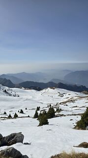
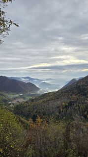
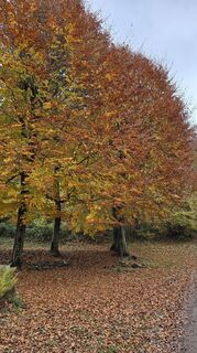
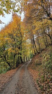
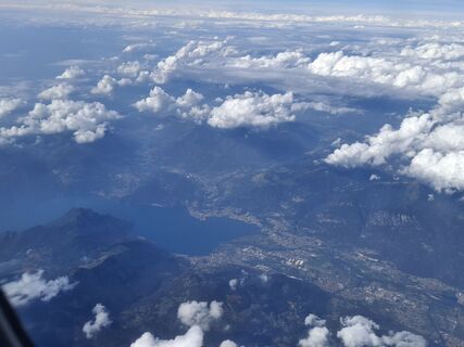
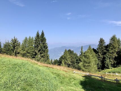
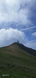
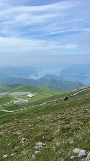
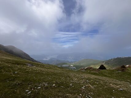
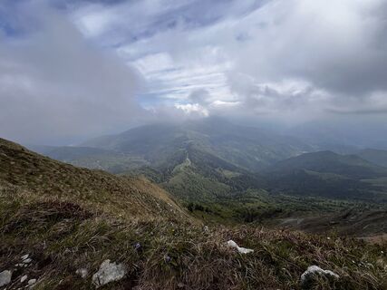
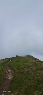
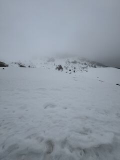
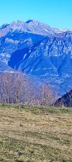
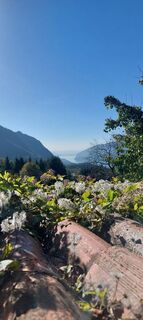
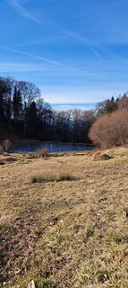
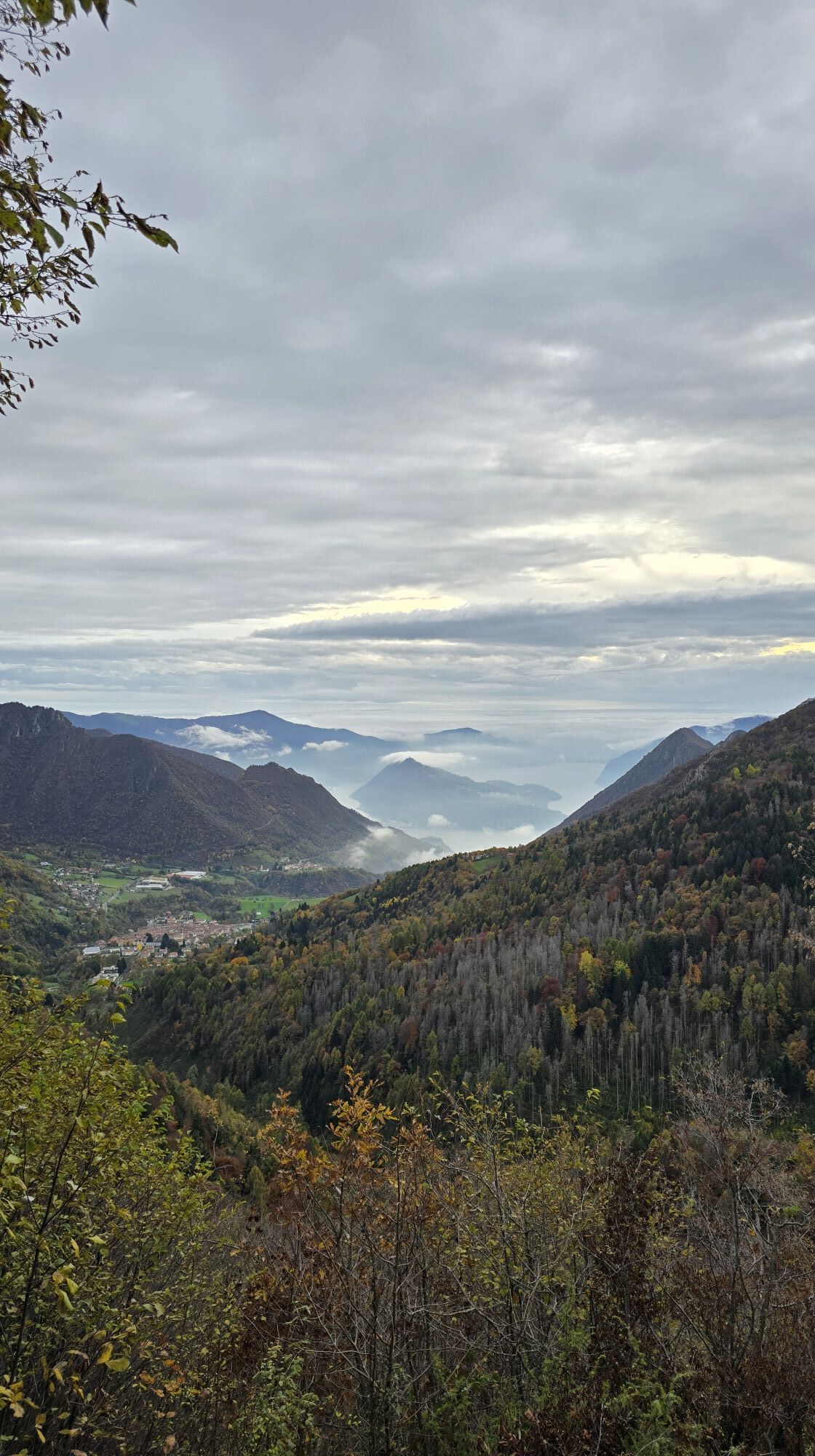
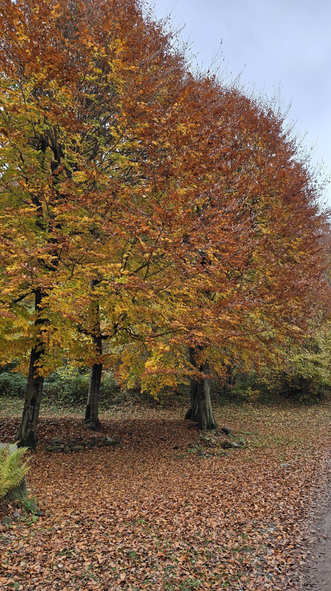
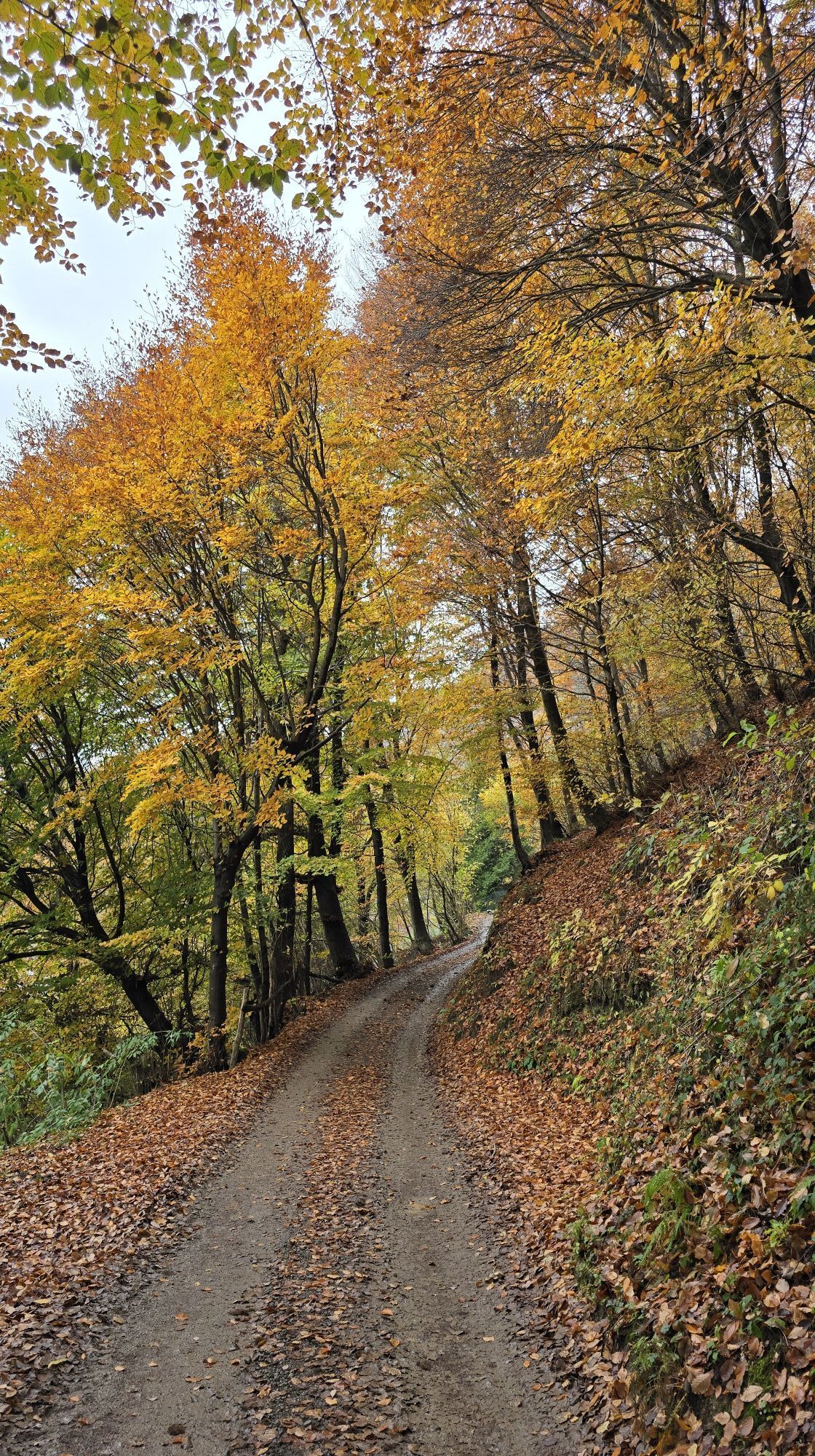
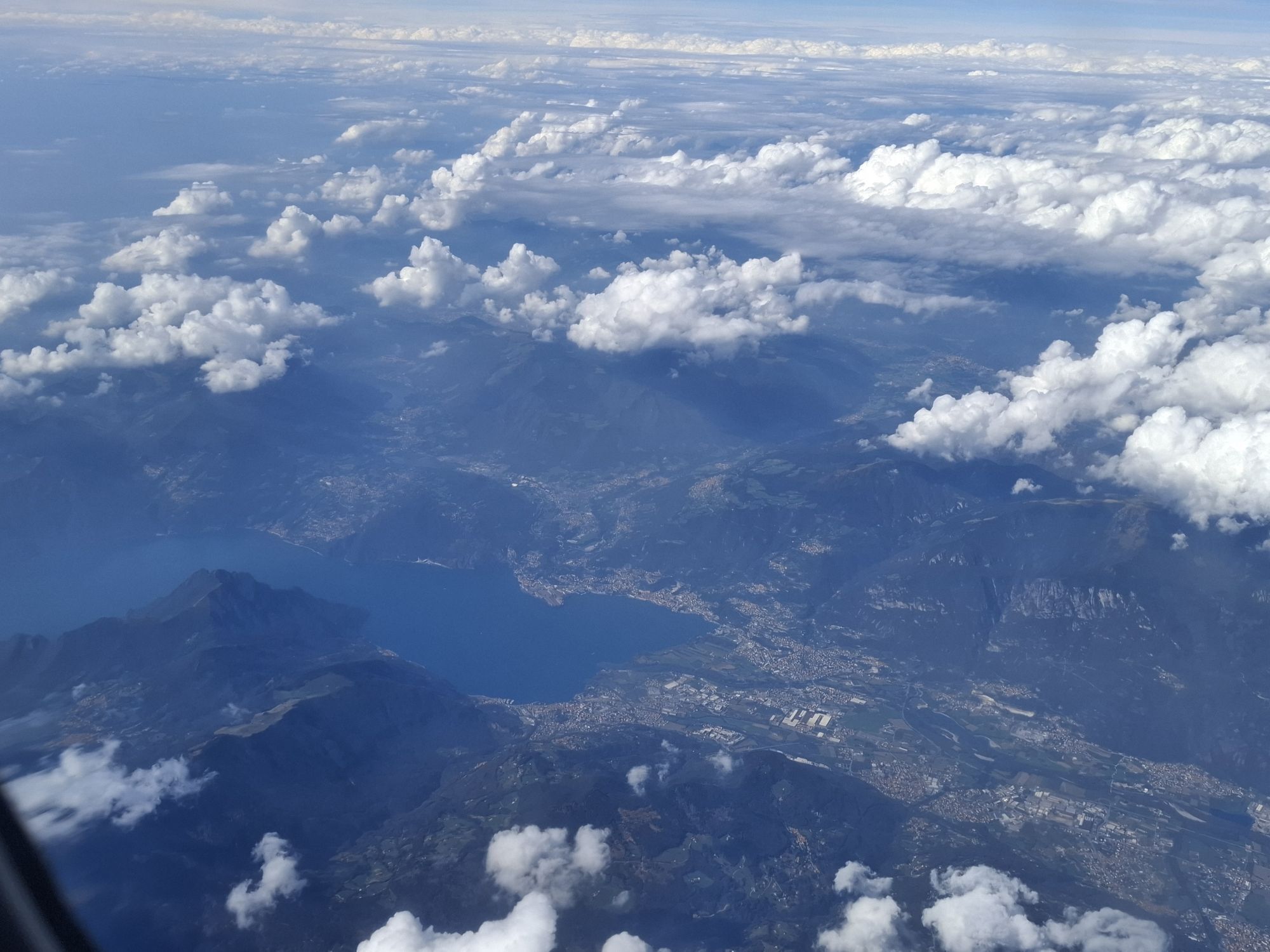
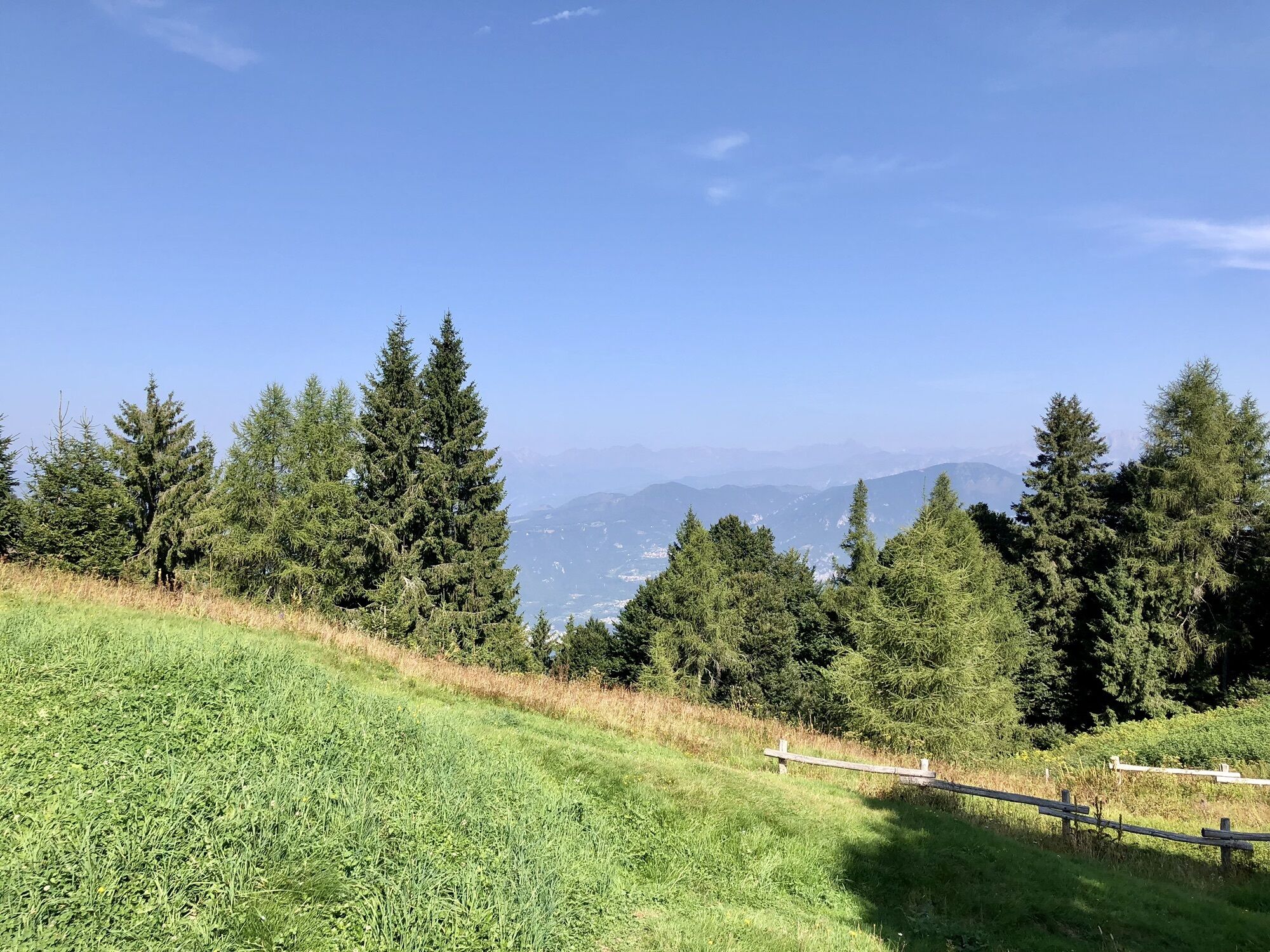
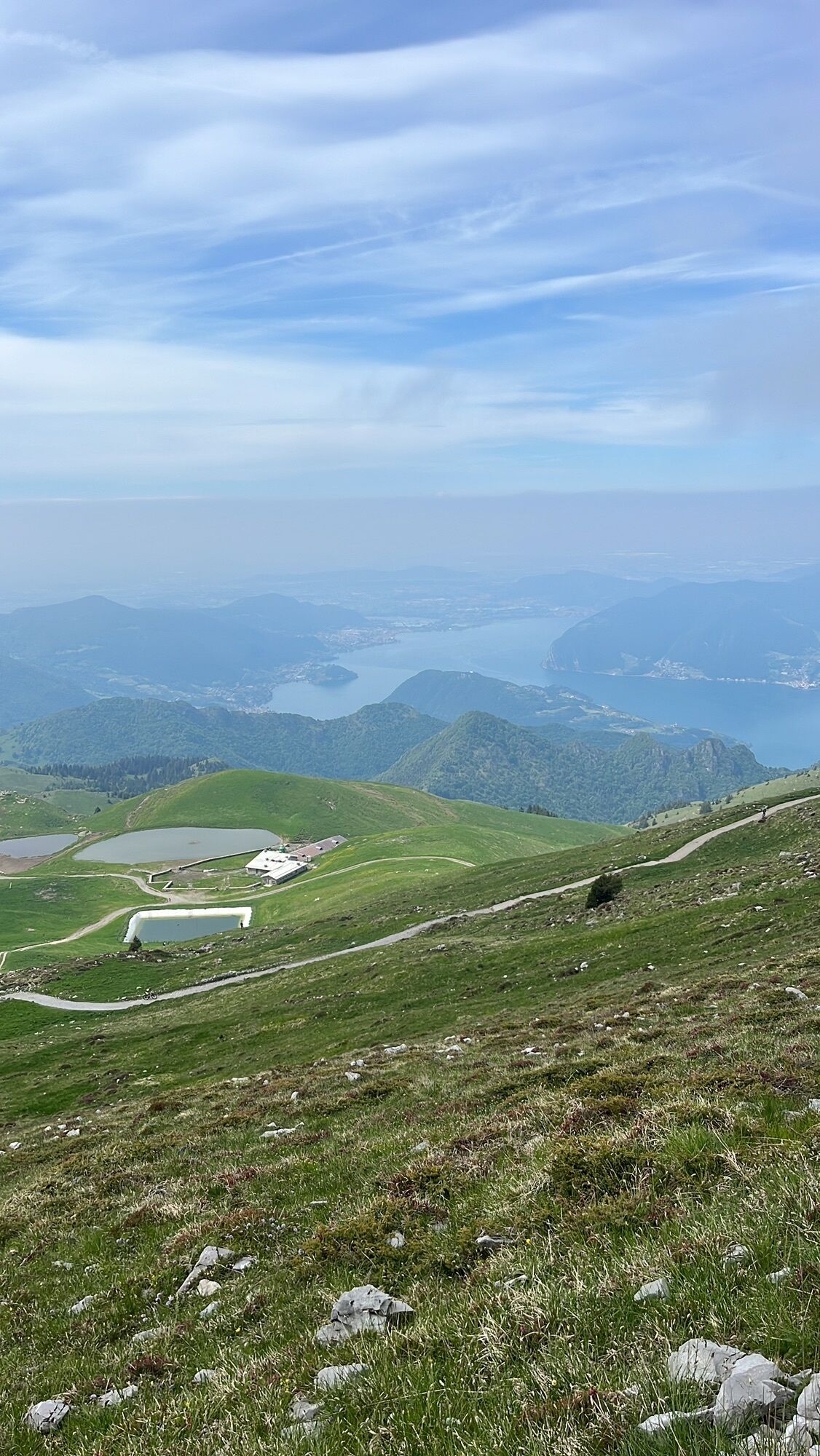
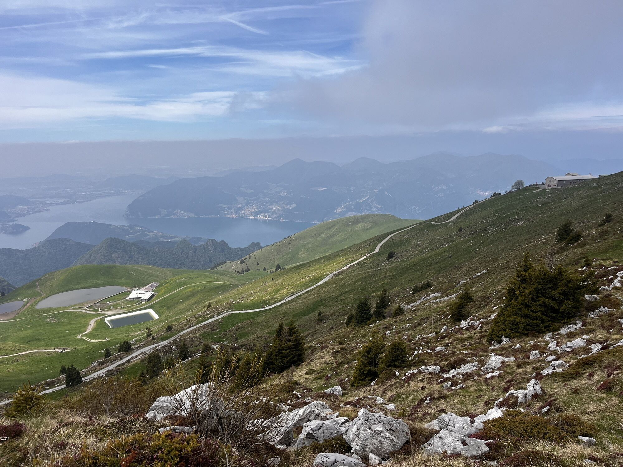
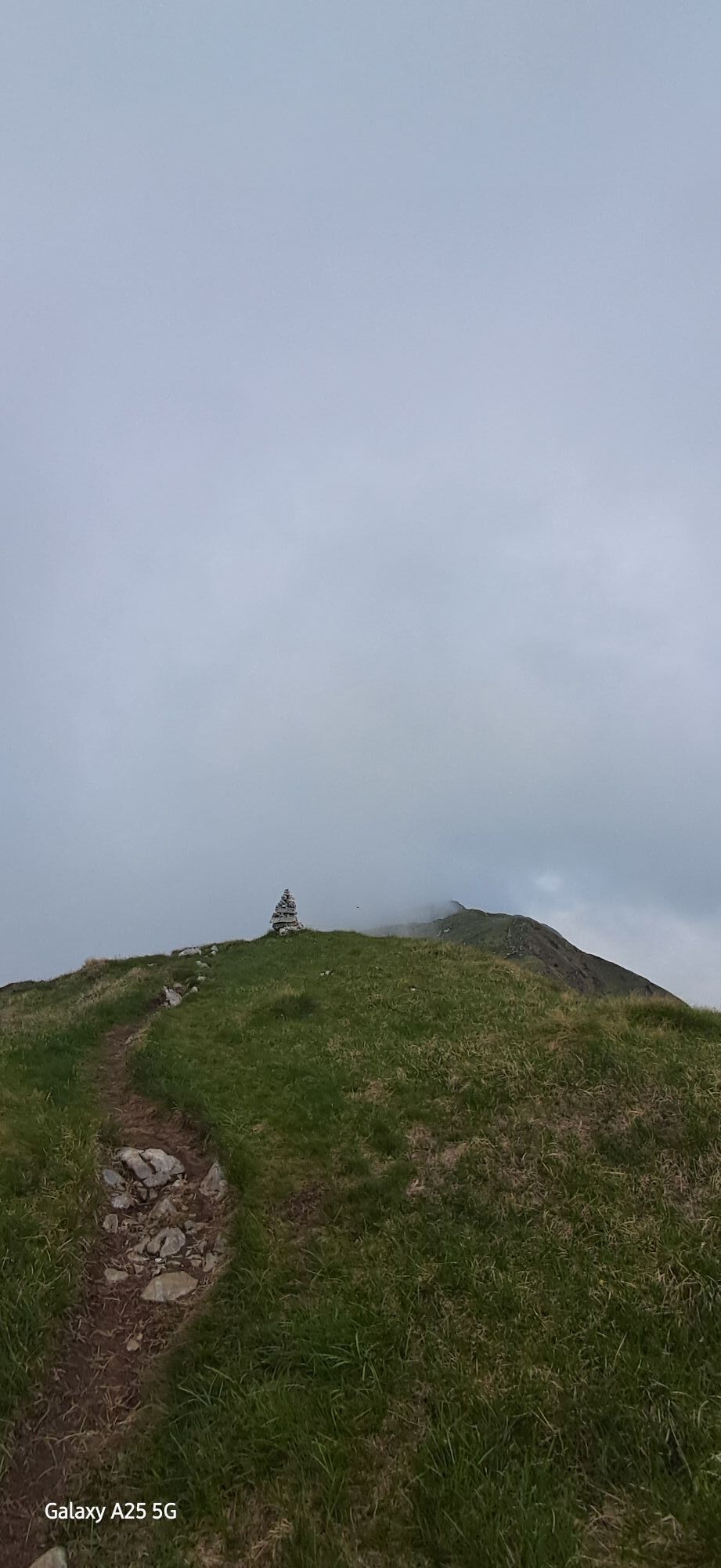
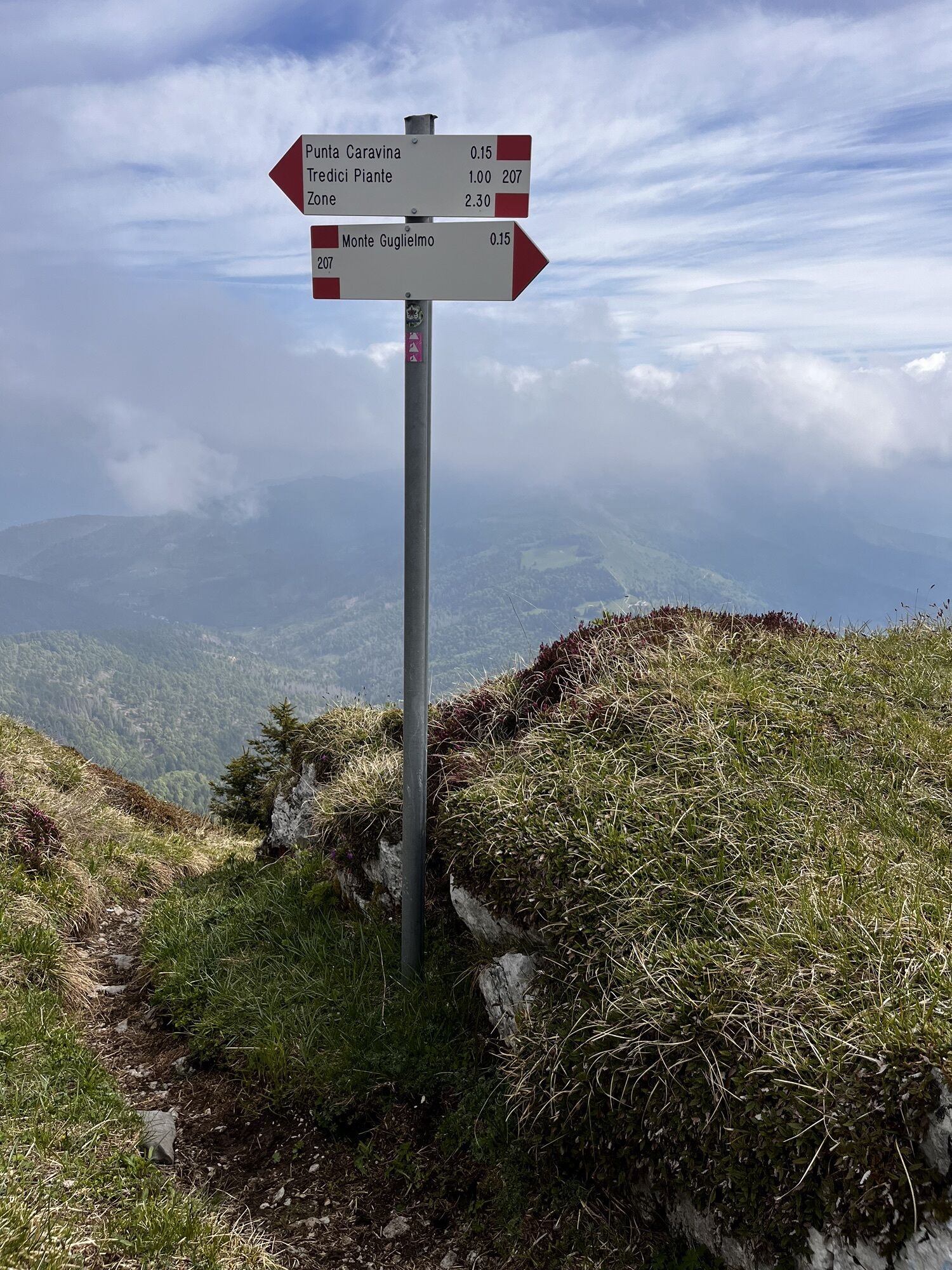
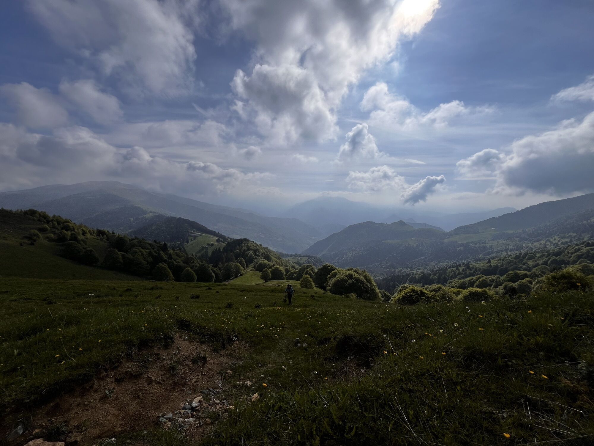
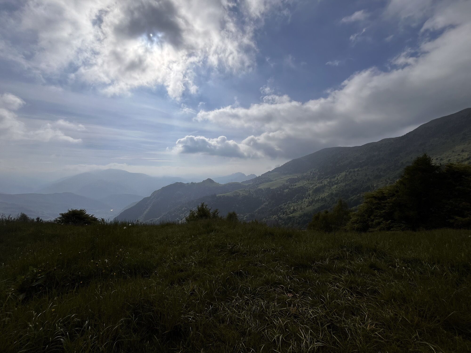
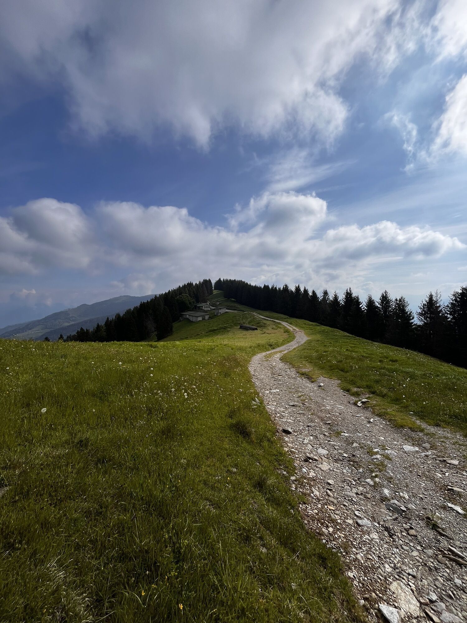
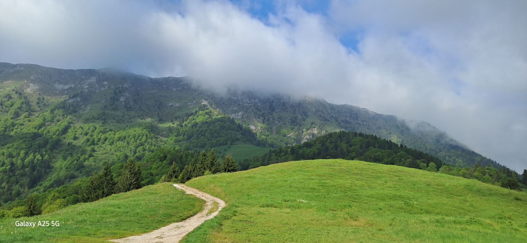
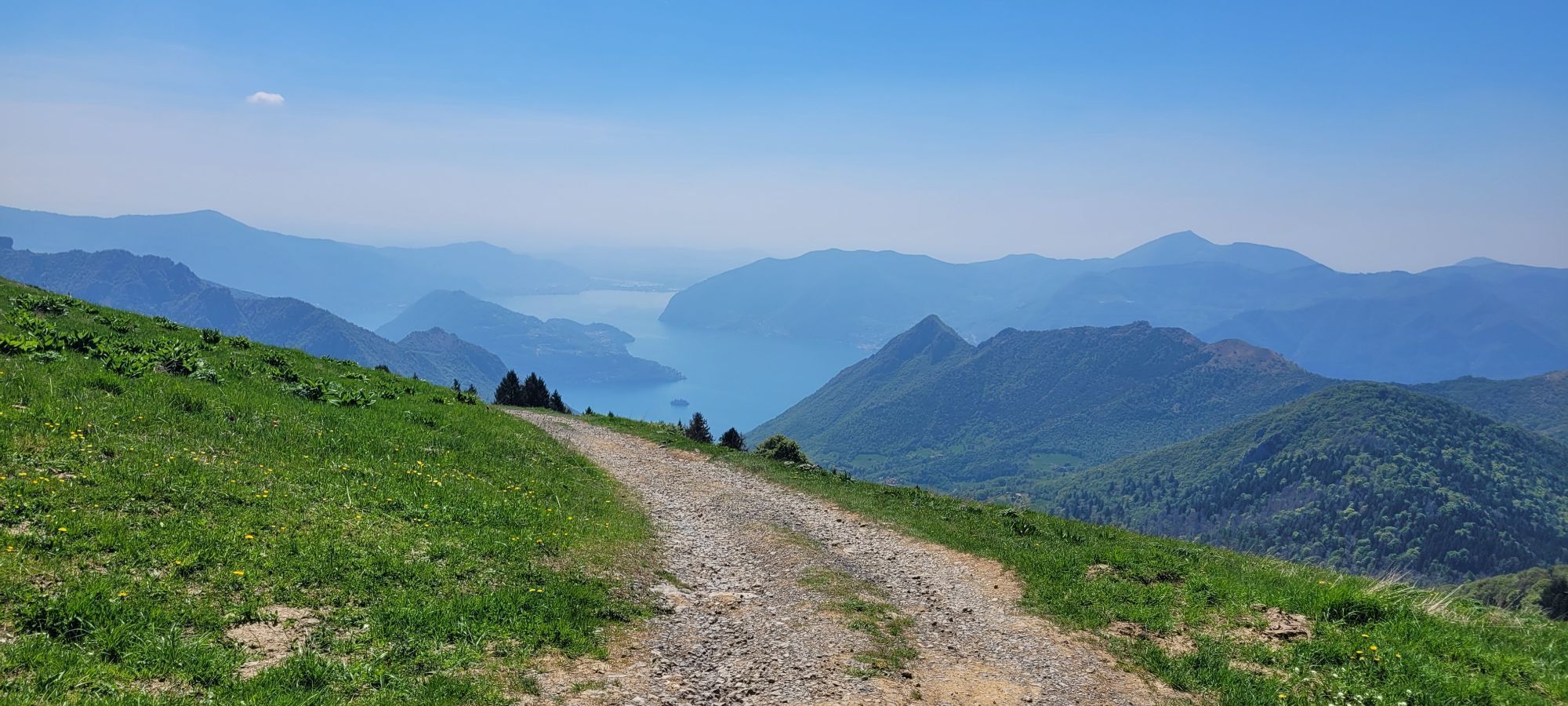
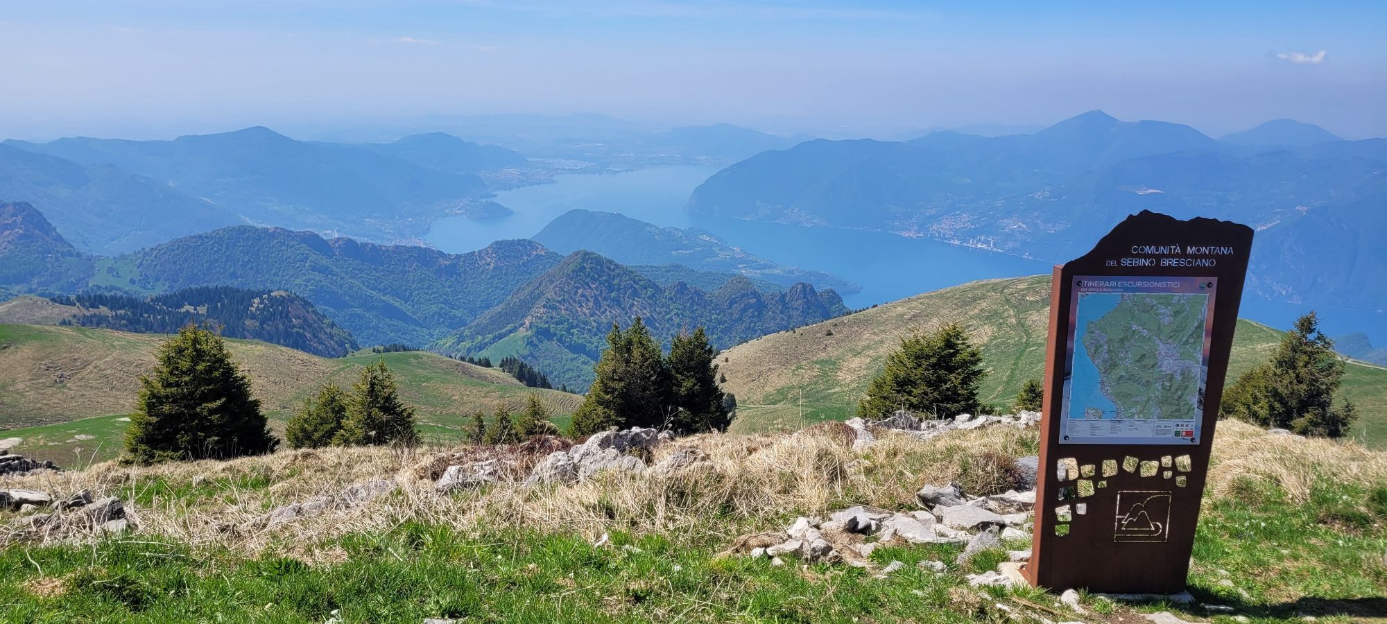
Fotos unserer User
-
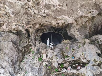
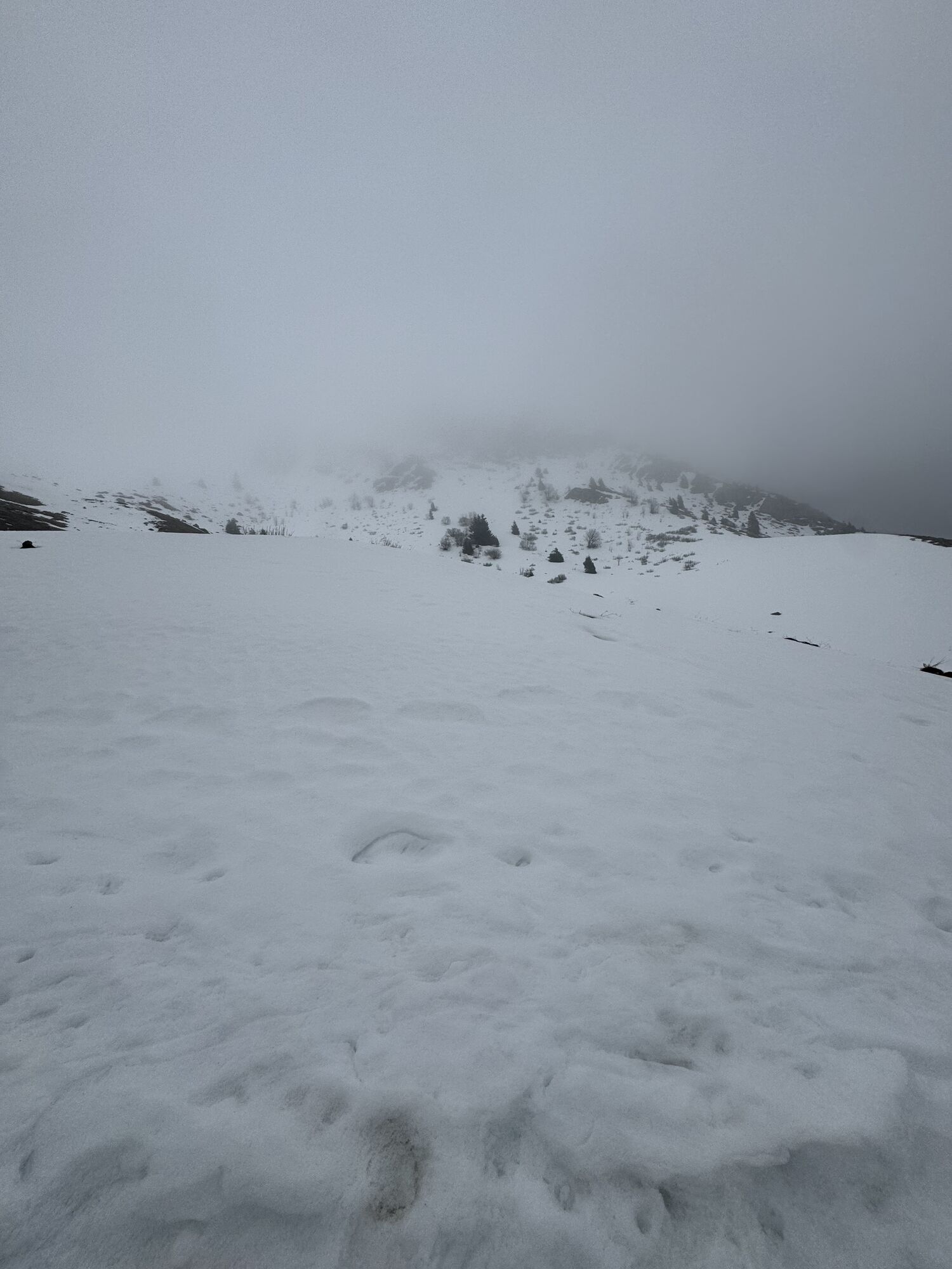
 © ANTOGK1969Erstellt am 18.04.2026
 -
 © ANTOGK1969Erstellt am 18.04.2026
 -
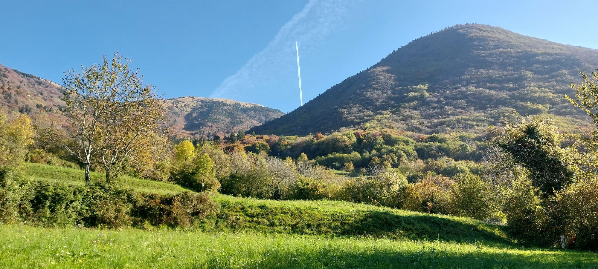
 © Andrea InserraErstellt am 07.03.2026
 -
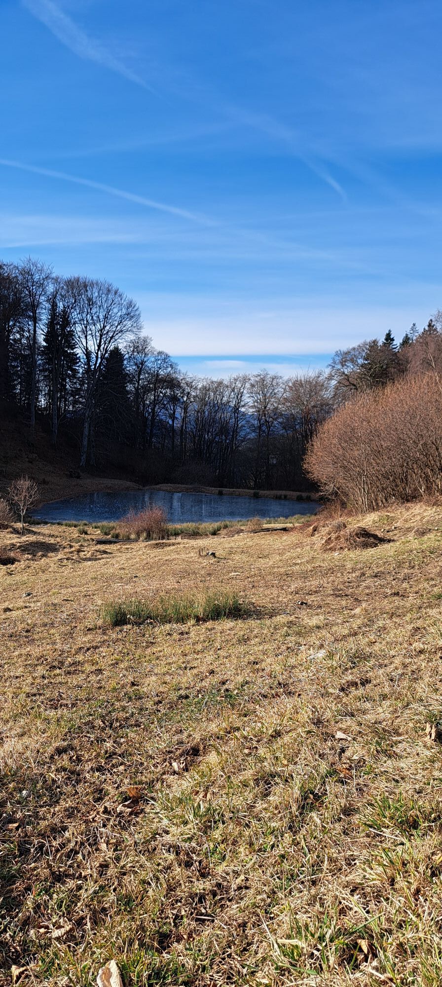
 © Andrea InserraErstellt am 01.11.2025
 -
 © Andrea InserraErstellt am 01.11.2025
 -
 © Andrea InserraErstellt am 01.11.2025
 -
 © Magnus MoserErstellt am 21.09.2025
 -
 © Matthias PötterErstellt am 15.08.2025
 -
 © Vv SavoldelliErstellt am 25.05.2025
 -
 © Alessio CominelliErstellt am 25.05.2025
 -
 © Alessio CominelliErstellt am 25.05.2025
 -
 © Alessio CominelliErstellt am 25.05.2025
 -
 © Alessio CominelliErstellt am 25.05.2025
 -
 © Vv SavoldelliErstellt am 25.05.2025
 -
 © Alessio CominelliErstellt am 25.05.2025
 -
 © Alessio CominelliErstellt am 25.05.2025
 -
 © Alessio CominelliErstellt am 25.05.2025
 -
 © Alessio CominelliErstellt am 25.05.2025
 -
 © Vv SavoldelliErstellt am 25.05.2025
 -

 © Ros 1Erstellt am 02.05.2025
 -
 © Ros 1Erstellt am 02.05.2025
 -
 © micaela colombiErstellt am 08.04.2025
 -
 © Luciamo masalaErstellt am 28.12.2024
 -
 © Mauro Geroldi (Gerry)Erstellt am 01.11.2024
 -
 © Mauro Geroldi (Gerry)Erstellt am 01.11.2024
 -
 © Amanda BelleriErstellt am 30.01.2024
 -
 © Giovanna GhezaErstellt am 10.04.2023


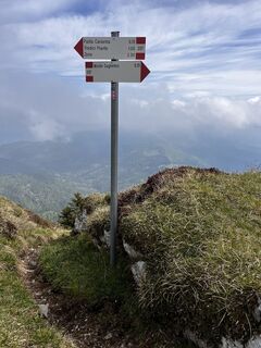
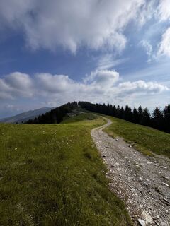
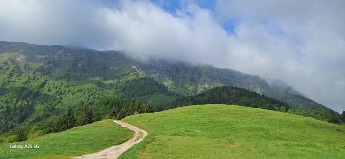
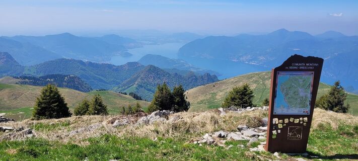
Wegverlauf
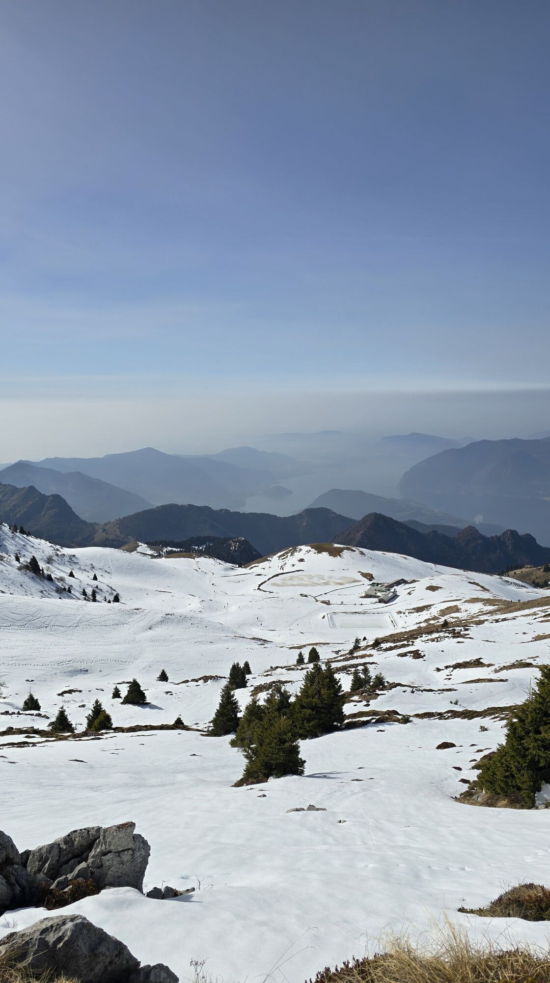
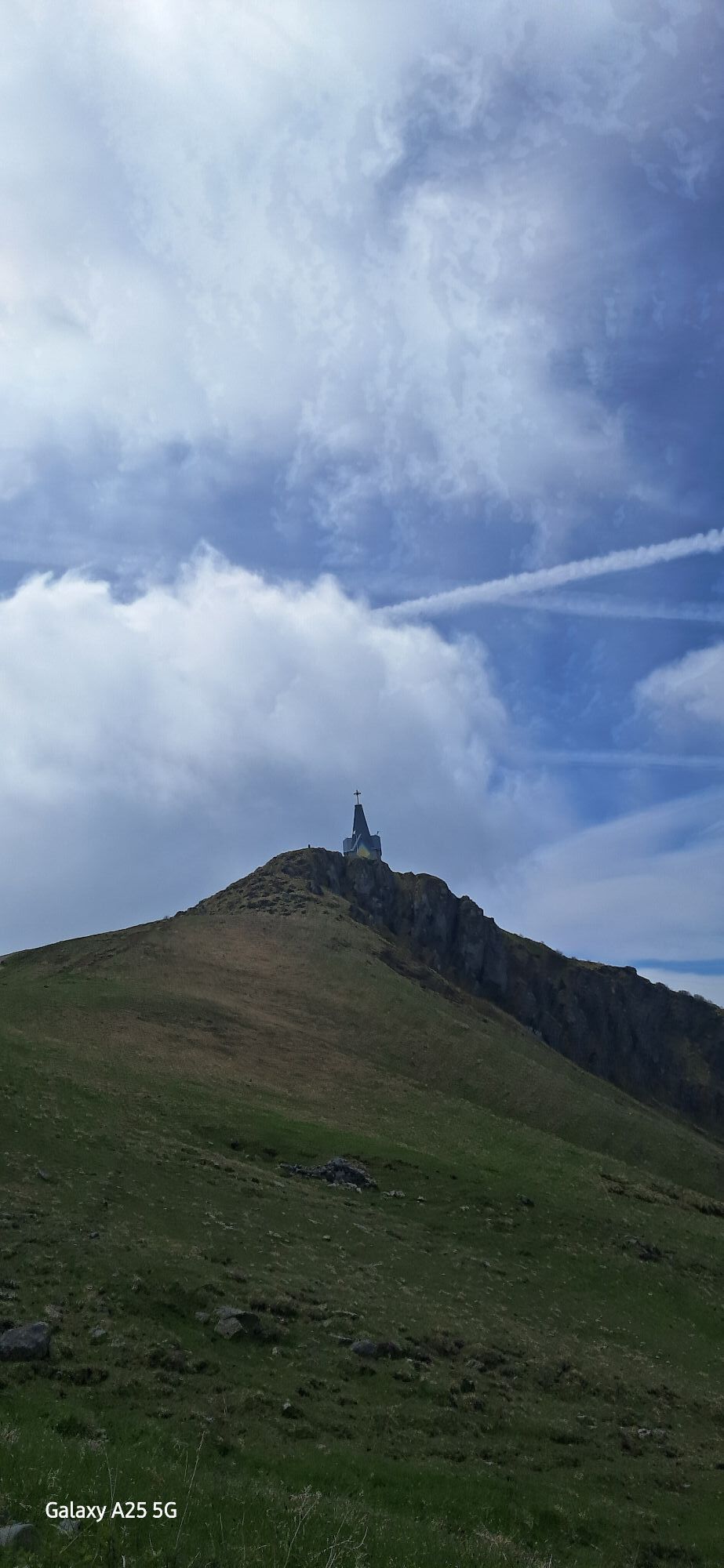
Monte Guglielmo
(1.948 m)
Gipfel
0,9 km
Colma di Vivazzo
(1.458 m)
Gipfel
24,9 km
Castello
(729 m)
Siedlung
40,2 km
Chiesa di San Rocco
(594 m)
Andachtsstätte
41,8 km
Chiesa di San Michele Arcangelo
(402 m)
Andachtsstätte
51,5 km
Gardone Val Trompia
(334 m)
Stadt
57,6 km
Chiesa di Sant'Antonio
(241 m)
Andachtsstätte
65,4 km
Wegverlauf
Rifugio Almici - Monte Guglielmo - Monte Agolo - Brescia
schwer
Mountainbike
80,07
km
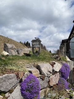
Rifugio Almici
(1.868 m)
Schutzhütte
0,0 km
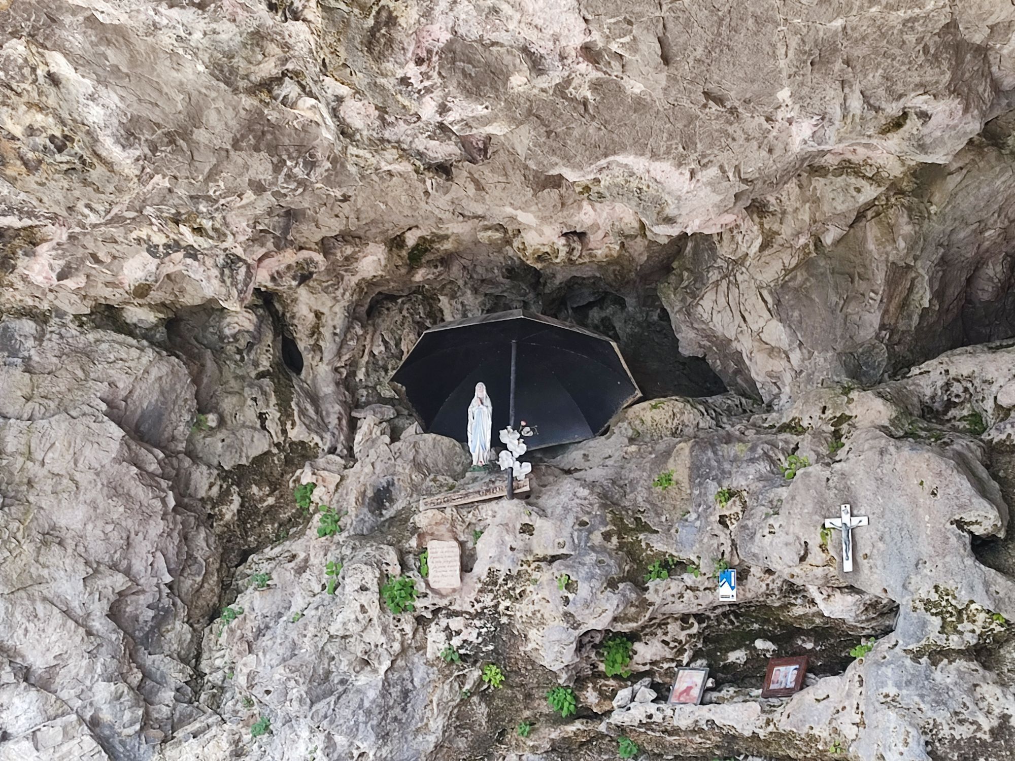
Chiesetta Almici
(1.865 m)
Andachtsstätte
0,0 km
Monte Guglielmo
(1.948 m)
Gipfel
0,9 km
Baita Palmarusso di Sotto
(1.599 m)
Schutzhütte
4,3 km
Bivacco Baita Palmarusso di Sotto
(1.599 m)
Schutzhütte (unbewirtschaftet)
4,3 km
Bosco degli Gnomi
(838 m)
Flur/Gelände
9,0 km
Pure
(784 m)
Flur/Gelände
9,2 km
Zone
(676 m)
Dorf
9,8 km
Chiesa della Madonna del Disgiolo
(826 m)
Andachtsstätte
10,9 km
Pagherina
(1.210 m)
Flur/Gelände
14,9 km
Monte Agolo
(1.366 m)
Gipfel
15,9 km
Pozzette Agolo
(1.357 m)
Flur/Gelände
16,2 km
Casarole
(1.180 m)
Flur/Gelände
18,8 km
Le Passate di Crasbaccolo
(1.420 m)
Flur/Gelände
21,3 km
Passatello
(1.456 m)
Flur/Gelände
21,6 km
Medeletto
(1.567 m)
Gipfel
22,2 km
Rifugio Medelet
(1.550 m)
Schutzhütte
22,2 km
Gale
(1.557 m)
Flur/Gelände
23,4 km
Agriturismo Malga Foppella
(1.427 m)
Restaurant
24,7 km
Malga Foppella
(1.436 m)
Flur/Gelände
24,7 km
Colma di Vivazzo
(1.458 m)
Gipfel
24,9 km
Roccolo del Mur
(1.419 m)
Flur/Gelände
25,6 km
Rifugio Colle di San Zeno
(1.420 m)
Restaurant
26,2 km
Roccolo del Canella
(1.360 m)
Flur/Gelände
26,8 km
Costa Pozot
(1.335 m)
Flur/Gelände
27,2 km
Malga Prato Nuovo di Sotto
(1.353 m)
Flur/Gelände
27,5 km
Tre Faggi
(1.407 m)
Flur/Gelände
28,2 km
Roccolo del Cucchetto
(1.310 m)
Flur/Gelände
31,8 km
Nariffie
(1.030 m)
Flur/Gelände
34,3 km
Zerma
(1.100 m)
Flur/Gelände
34,6 km
Dossi
(1.002 m)
Flur/Gelände
35,7 km
Cadelle Sopra
(778 m)
Flur/Gelände
39,1 km
Cascina Zanetta
(751 m)
Flur/Gelände
39,3 km
Corna
(720 m)
Flur/Gelände
39,8 km
Bar Trattoria Corna
(710 m)
Restaurant
39,9 km
Castello
(729 m)
Siedlung
40,2 km
Bovegno
(682 m)
Dorf
40,7 km
Ràsega
(612 m)
Flur/Gelände
41,1 km
Pendolina
(603 m)
Flur/Gelände
41,4 km
Cimavilla
(642 m)
Siedlung
41,5 km
Case Ceca Ferromin
(646 m)
Siedlung
41,7 km
Case Fanfani
(602 m)
Stadtteil
41,8 km
Chiesa di San Rocco
(594 m)
Andachtsstätte
41,8 km
Baciocco
(610 m)
Flur/Gelände
42,1 km
Vendoze
(600 m)
Flur/Gelände
42,7 km
Voben
(577 m)
Restaurant
42,9 km
Predondo
(600 m)
Siedlung
42,9 km
Zigole
(615 m)
Siedlung
43,1 km
Aiale
(544 m)
Siedlung
44,9 km
Richiedei
(518 m)
Stadtteil
45,7 km
Lavone
(500 m)
Siedlung
45,8 km
Chiesa di Santa Maria Maddalena
(502 m)
Andachtsstätte
45,9 km
Rebecco
(495 m)
Stadtteil
46,4 km
Forni
(500 m)
Flur/Gelände
47,4 km
Tavernole sul Mella
(472 m)
Dorf
47,8 km
Pila
(435 m)
Flur/Gelände
50,2 km
Bar Trattoria Cascata
(408 m)
Restaurant
50,9 km
Cascata
(410 m)
Flur/Gelände
50,9 km
Cascata di Brozzo
(402 m)
Wasserfall
51,1 km
Ristorante Bar Pizzeria Il Cavaliere
(403 m)
Restaurant
51,4 km
Chiesa di San Michele Arcangelo
(402 m)
Andachtsstätte
51,5 km
Brozzo
(412 m)
Dorf
51,5 km
Prevesto
(385 m)
Flur/Gelände
53,0 km
Marcheno
(407 m)
Dorf
53,6 km
Parte
(392 m)
Siedlung
54,0 km
Rovedolo
(368 m)
Flur/Gelände
54,9 km
Calchera
(370 m)
Flur/Gelände
55,5 km
Inzino
(338 m)
Dorf
56,7 km
Gardone Val Trompia
(334 m)
Stadt
57,6 km
Taormina
(319 m)
Restaurant
58,0 km
Coduri
(302 m)
Flur/Gelände
59,4 km
Ponte Zanano
(298 m)
Dorf
59,7 km
Zanano
(288 m)
Dorf
61,2 km
Sarezzo
(277 m)
Stadt
61,4 km
Noboli
(282 m)
Siedlung
61,6 km
Cogozzo
(270 m)
Dorf
63,3 km
Sorgente El Fontanì
(245 m)
Flur/Gelände
64,4 km
Castello
(281 m)
Siedlung
65,2 km
Pregno
(241 m)
Siedlung
65,4 km
Chiesa di Sant'Antonio
(241 m)
Andachtsstätte
65,4 km
Bar Trattoria Discepoli
(241 m)
Restaurant
65,4 km
Villa Carcina
(246 m)
Stadt
65,6 km
Concesio
(214 m)
Stadt
69,6 km
Campagnola
(197 m)
Siedlung
70,1 km
Fiumicello
(145 m)
Stadtteil
76,7 km
Brescia
(149 m)
Stadt
78,7 km
Chiesa Evangelica Valdese
(144 m)
Andachtsstätte
78,8 km
Brescia
(139 m)
Bahnhof
80,1 km
Noch keine Bewertungen
Beliebte Touren in der Nähe
-
4,0
Trentapasso
mittelWanderung 11,2 km -
Montisola
leichtE-Bike 20,2 km -
4,7
Zone Wanderung
mittelWanderung 10,3 km -
4,7
Via Ferrata Corna delle Capre
schwerKlettersteig 9,20 km -
Sentiero CAI 231
mittelWanderung 8,81 km -
4,7
Ciochet - Oratorio di San Rocco - XVI sec. - Chiesa di San Rocco - Iseo
mittelFernradweg 69,4 km -
St Maria del Giogo
mittelWanderung 12,3 km -
Corna Trentapassi - Lago de Iseo
mittelWanderung 15,2 km -
Pisogne, Lombardia/Italia
Wanderung 8,74 km -
3,0
Avventuriamoci easy
leichtWanderung 10,0 km

Wandern & Tracking

Über 550.000 Tourenvorschläge, detailliertes Kartenmaterial und ein intuitiver Routenplaner machen die App zum Must-have für alle Naturbegeisterten.

Verpasse keine Angebote und Inspirationen für deinen nächsten Urlaub
Zum Newsletter anmelden
Fehler
Ein Fehler ist aufgetreten. Bitte versuche es erneut.
Vielen Dank für deine Anmeldung
Deine E-Mail-Adresse wurde in den Verteiler eingetragen.
Touren in ganz Europa
Österreich
Schweiz
Deutschland
Italien
Slowenien
Frankreich
Niederlande
Belgien
Polen
Liechtenstein
Tschechien
Slowakei
Spanien
Kroatien
Bosnien und Herzegowina
Luxemburg
Andorra
Portugal
Island
Vereinigtes Königreich
Irland
Griechenland
Albanien
Nordmazedonien
Malta
Norwegen
Montenegro
Moldau
Kosovo
Ungarn
San Marino
Rumänien
Estland
Lettland
Belarus
Zypern
Litauen
Serbien
Bulgarien
Monaco
Dänemark
Schweden
Finnland