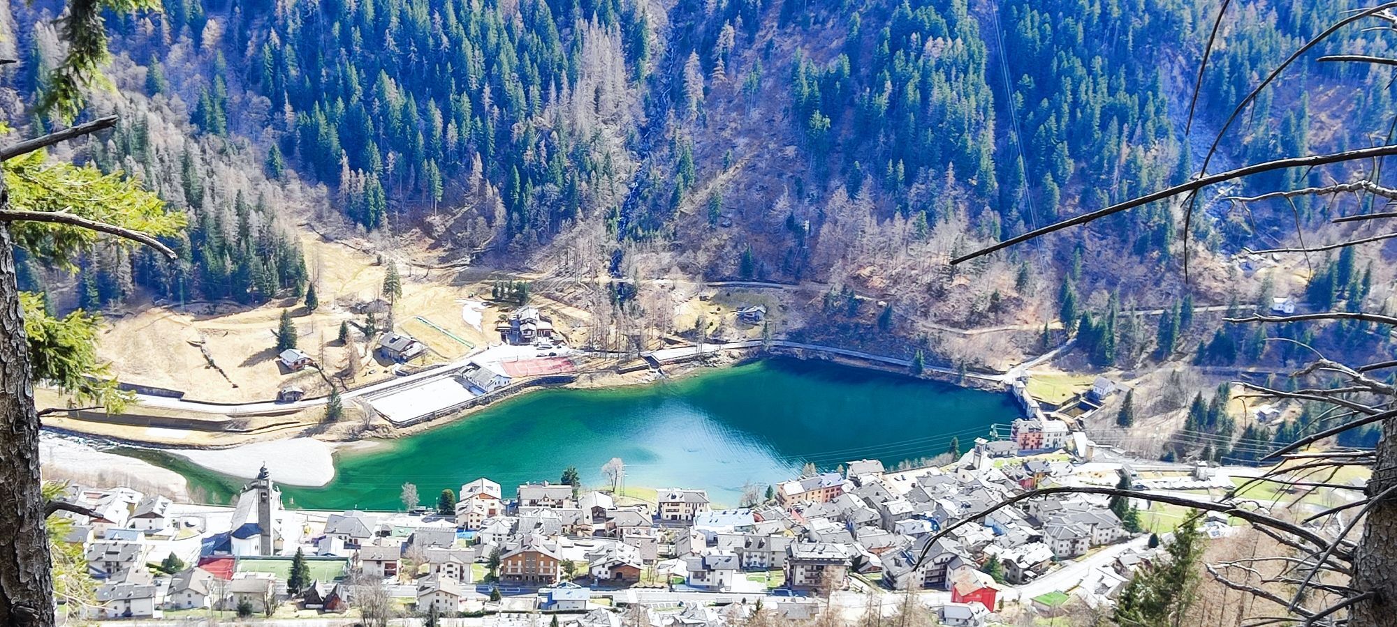
Branzi - Chiesa Santi Pietro e Paolo - Trattoria Afra - Chiesa di San Bartolomeo
schwer
Navigieren
Navigieren
Hol diese Tour auf dein Handy
Branzi - Chiesa Santi Pietro e Paolo - Trattoria Afra - Chiesa di San Bartolomeo
schwer
Mountainbike
45,03
km
QR-Code scannen und Navigation in der bergfex App beginnen

Wandern & Tracking


Branzi - Chiesa Santi Pietro e Paolo - Trattoria Afra - Chiesa di San Bartolomeo
schwer
Distanz
45,03
km
Dauer
09:19
h
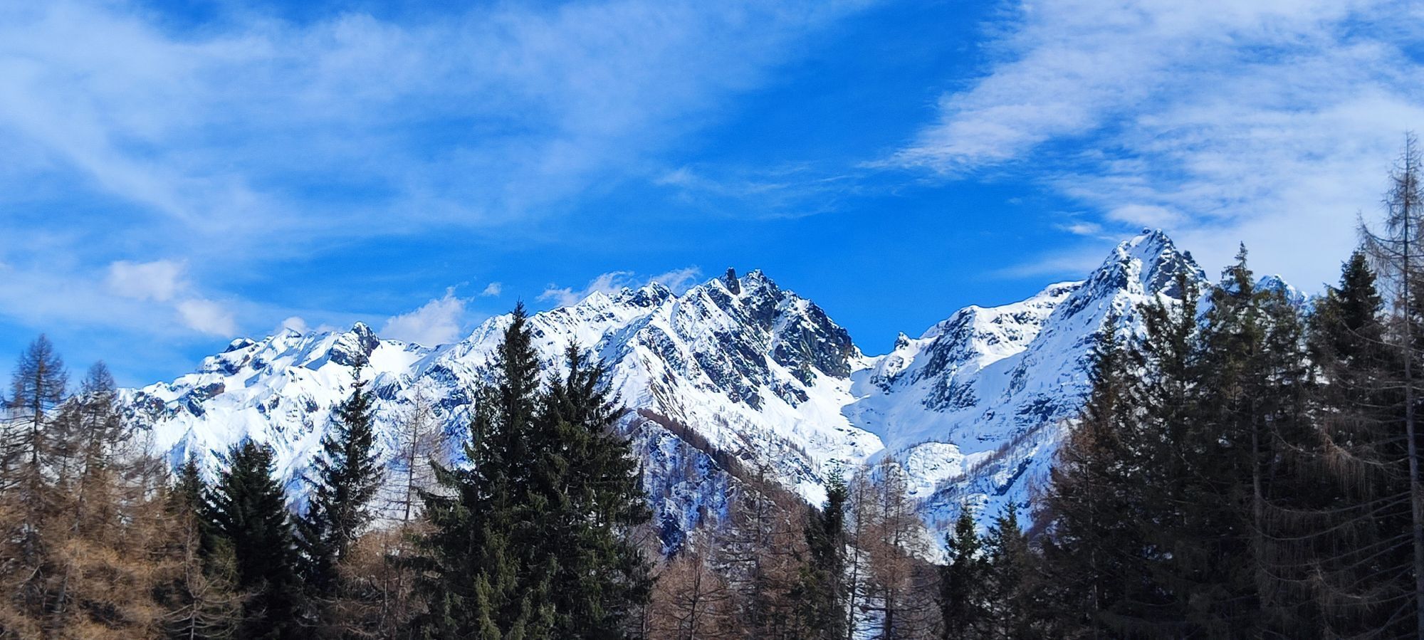
Aufstieg
2.503
hm
Seehöhe
829 -
2.006
m
Track-Download
Branzi - Chiesa Santi Pietro e Paolo - Trattoria Afra - Chiesa di San Bartolomeo
schwer
Mountainbike
45,03
km
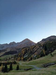
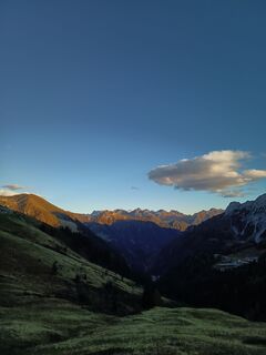
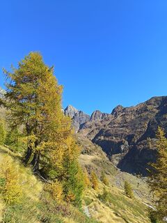
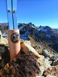
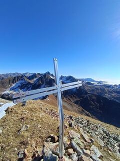
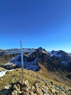
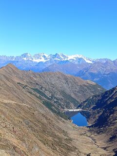
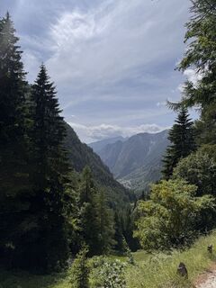
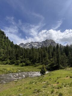
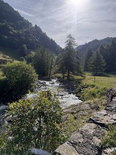
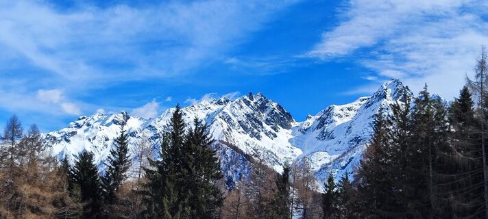
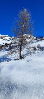
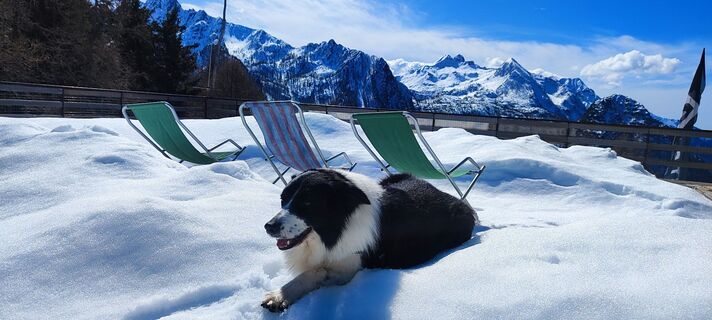
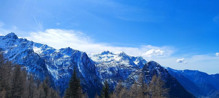
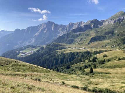
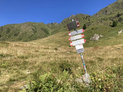
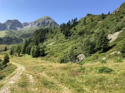
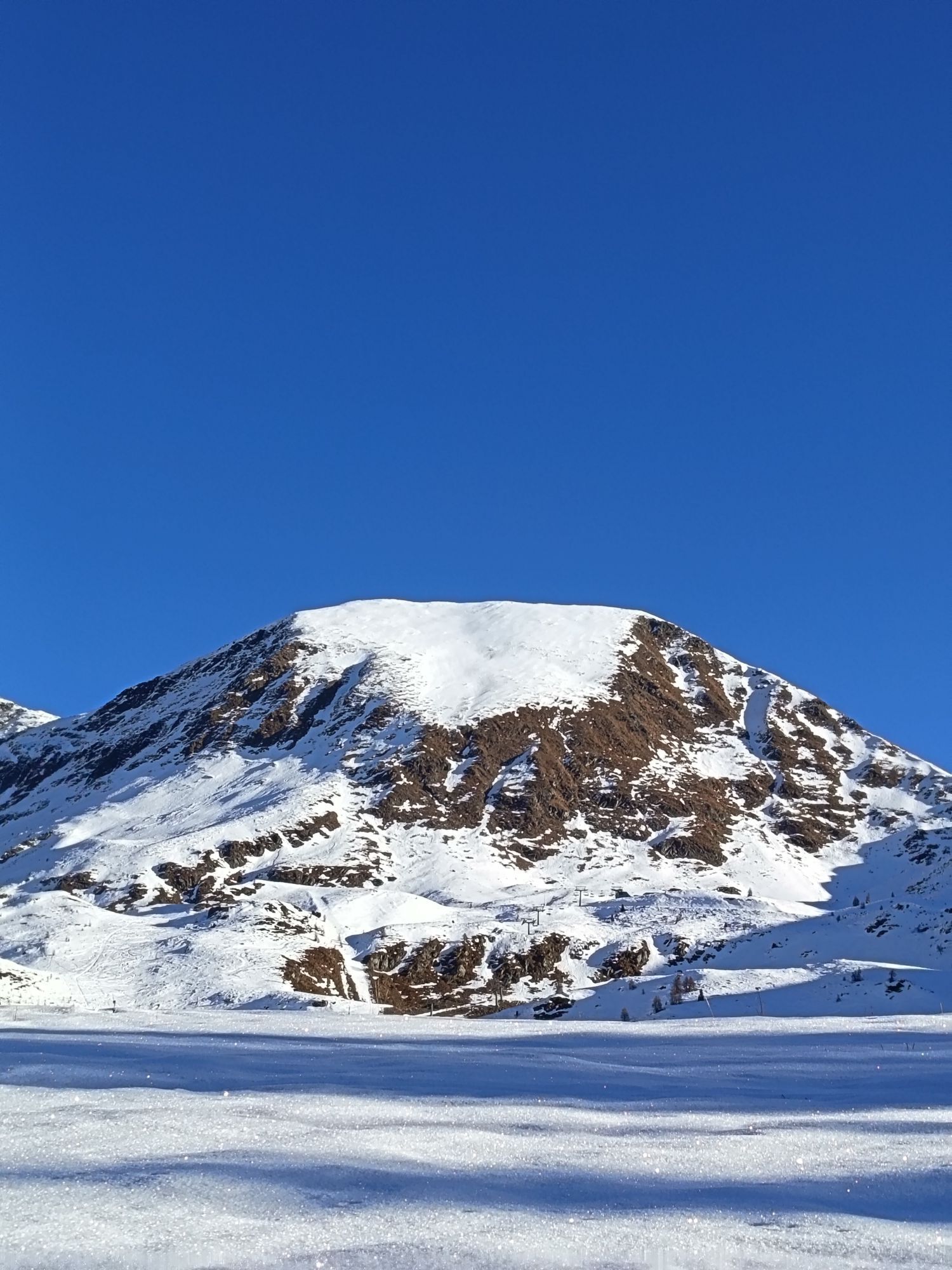
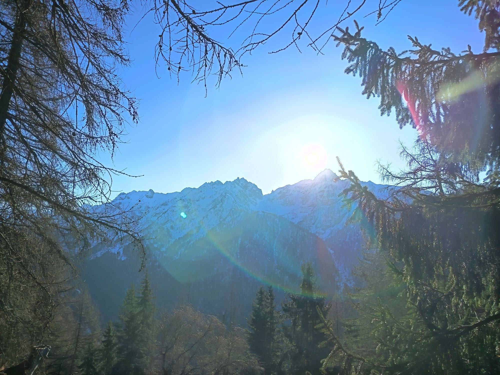
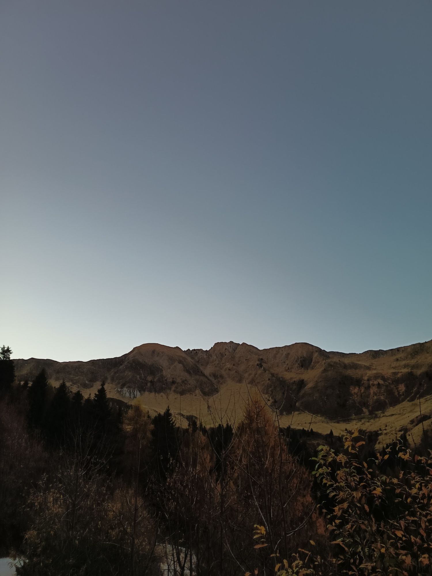
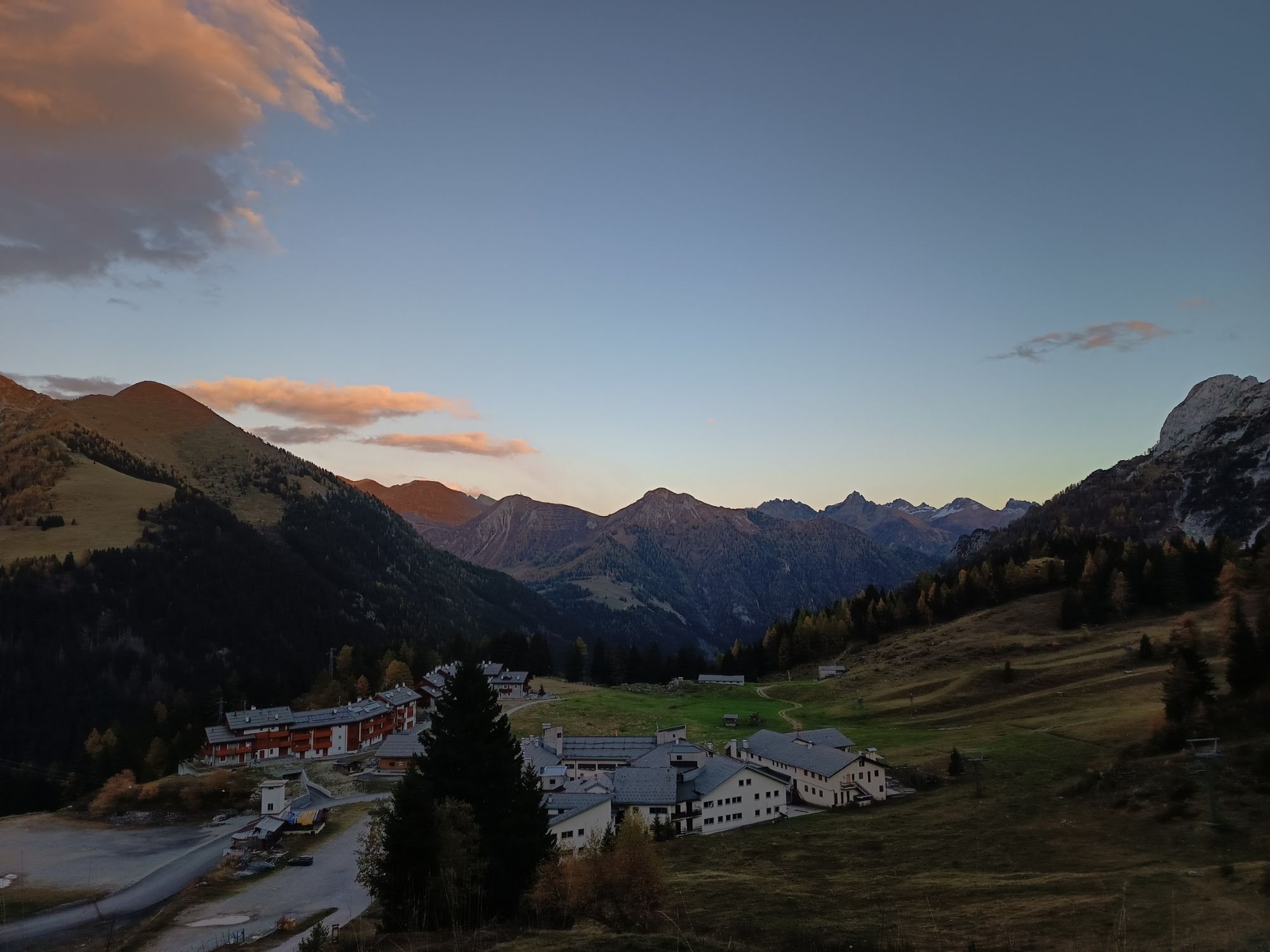
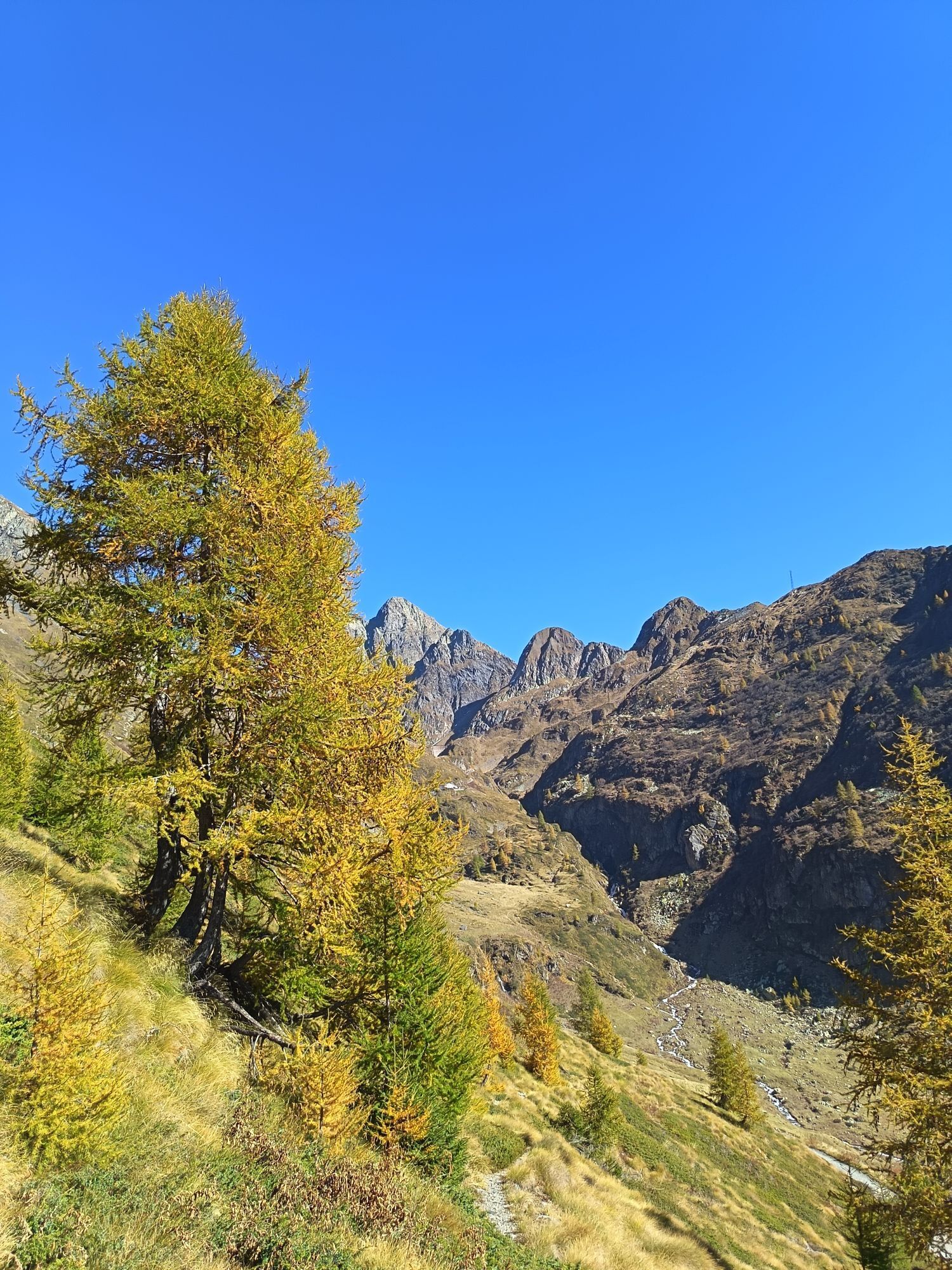
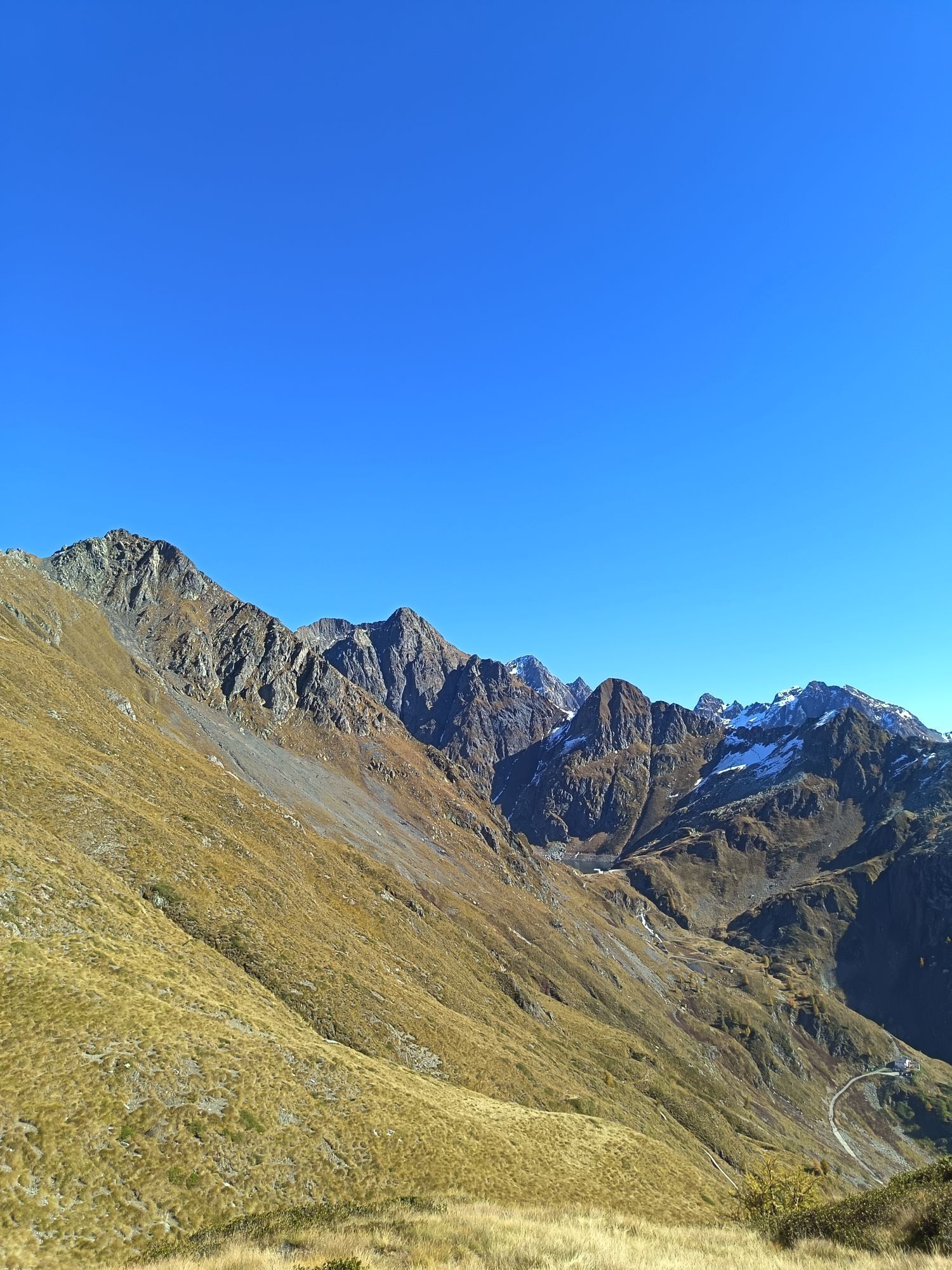
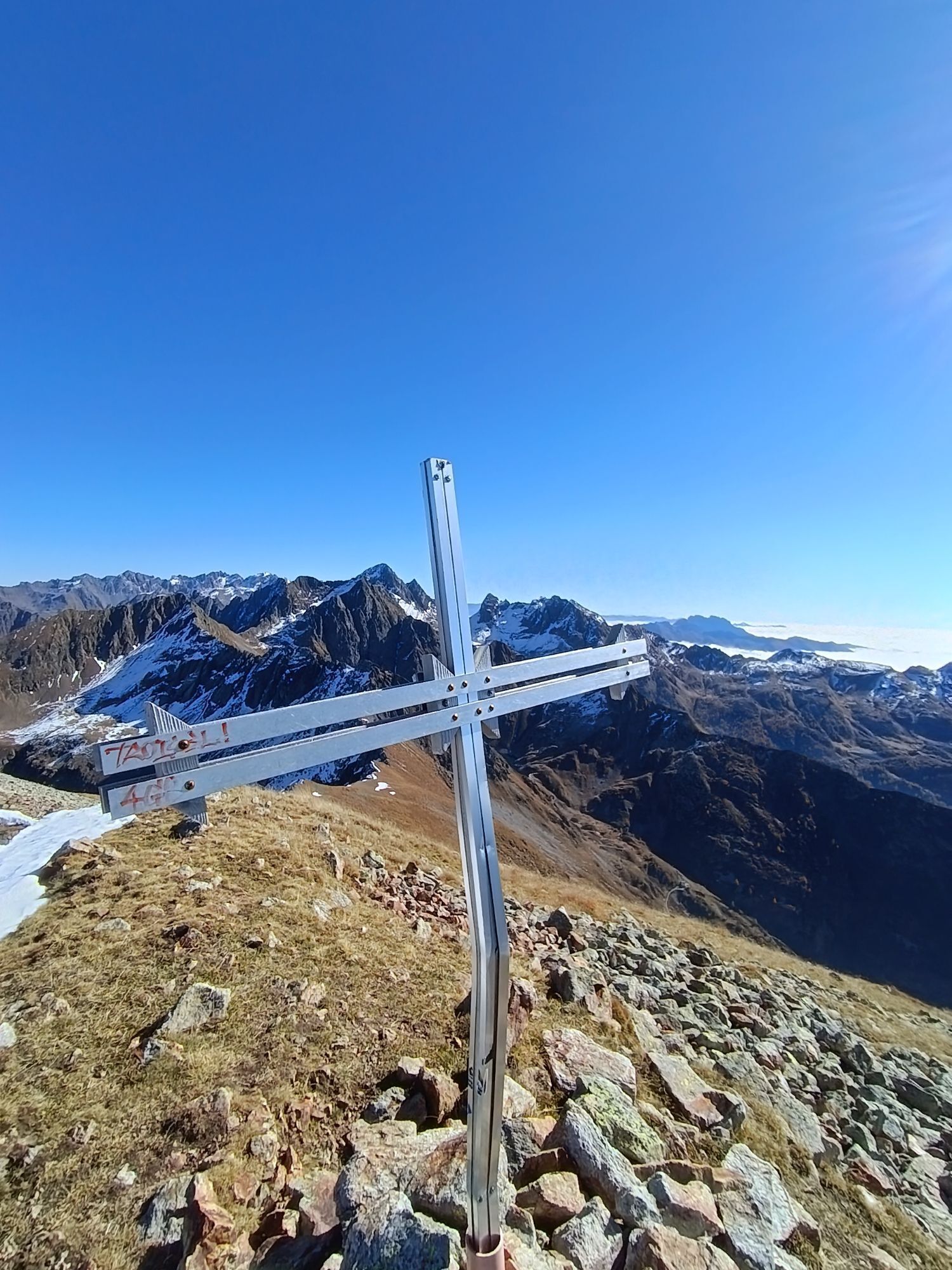
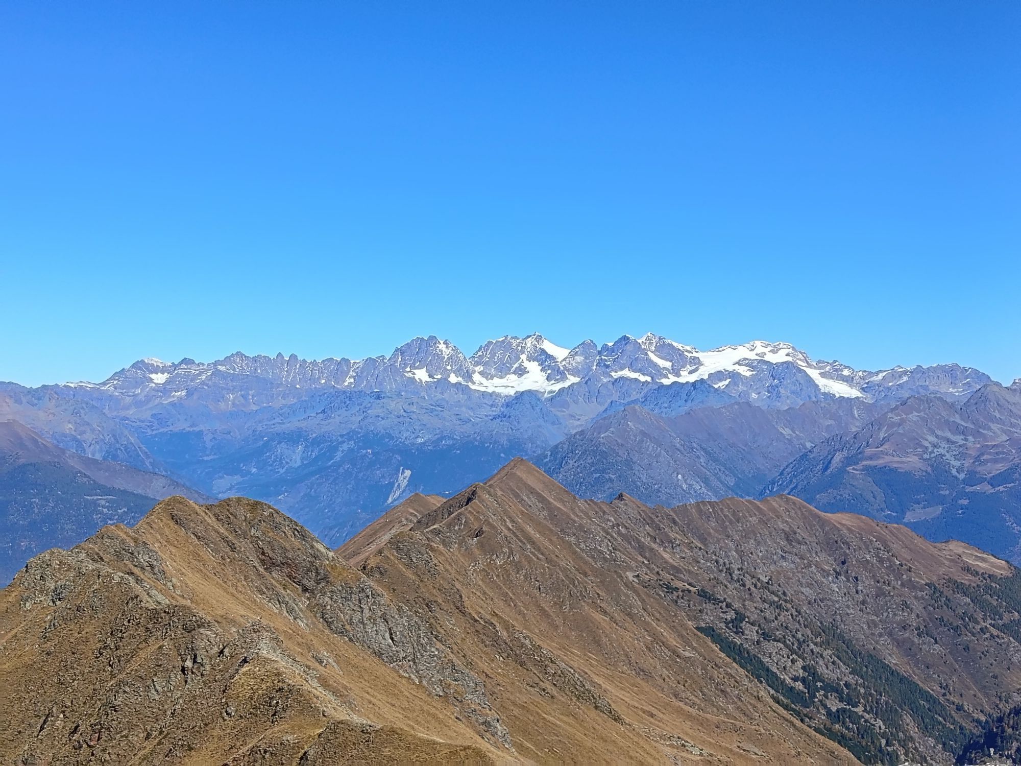
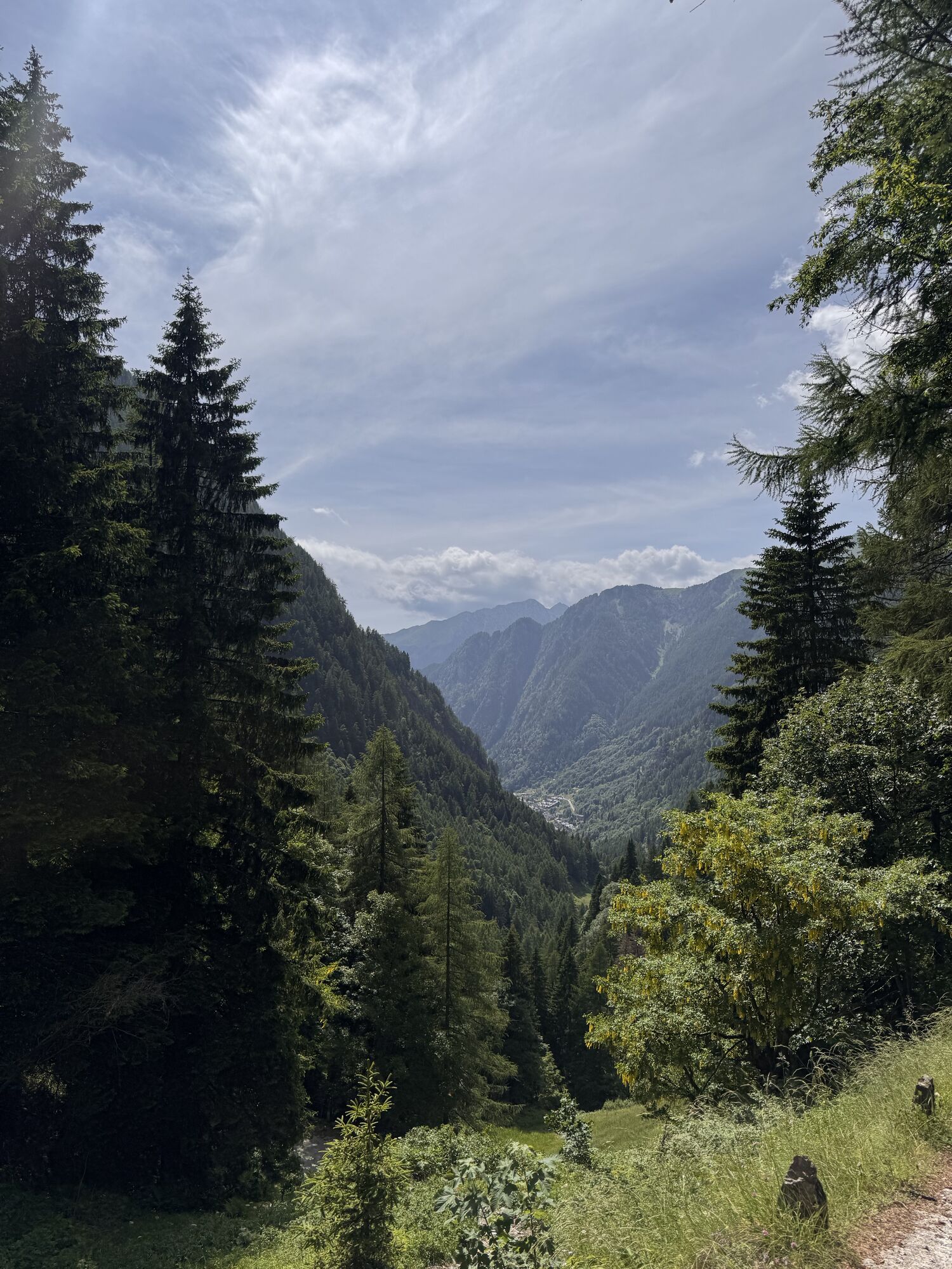
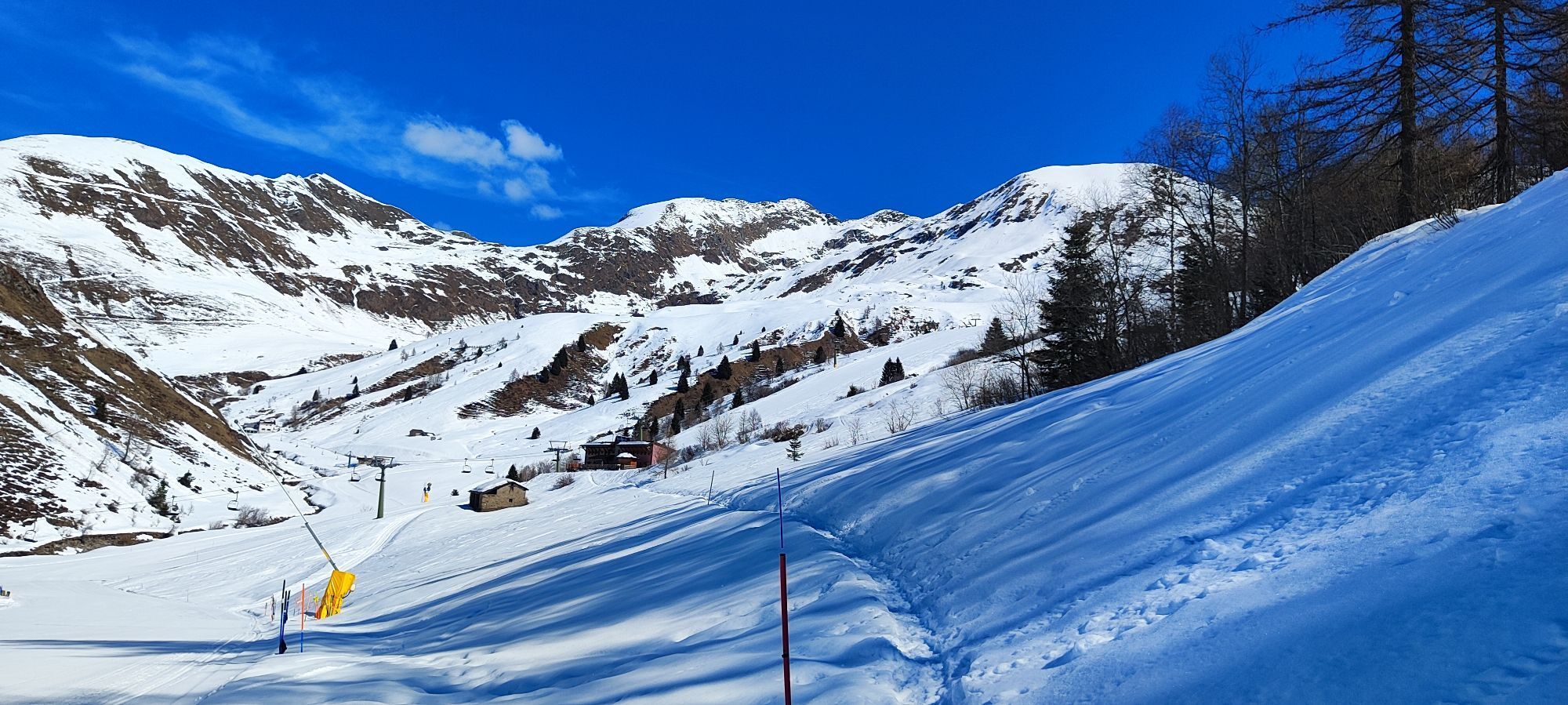
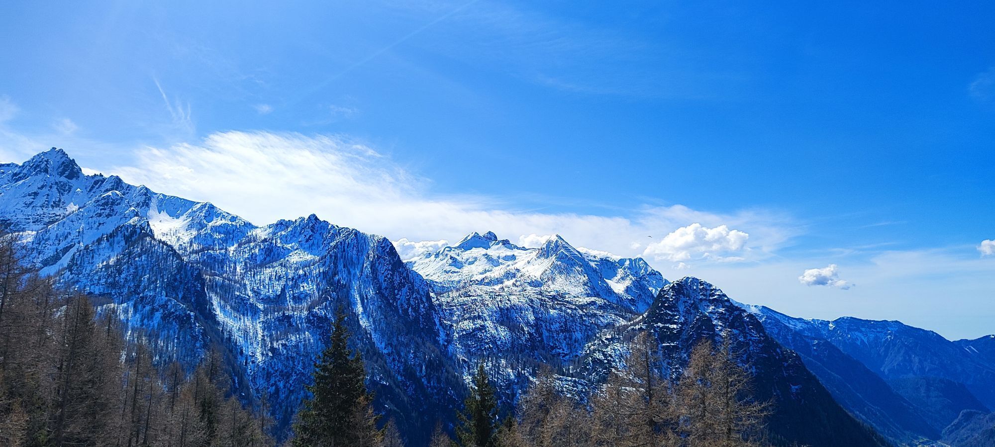
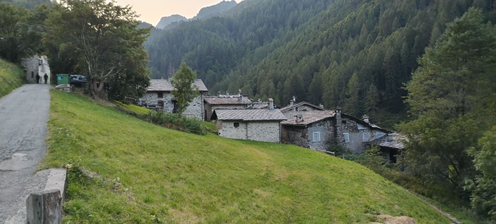
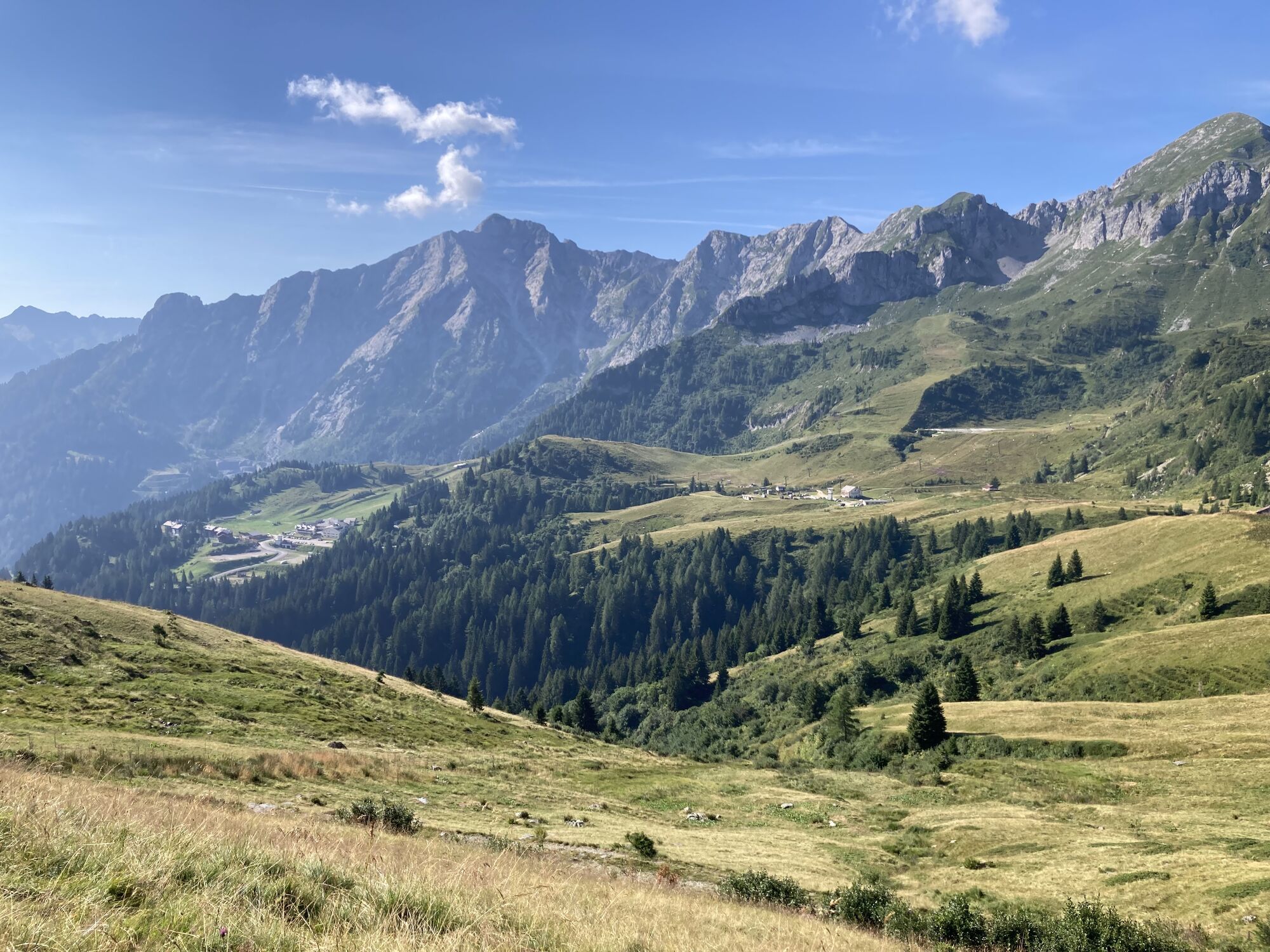
Fotos unserer User
-
 © Cristian Mario RotaErstellt am 08.06.2024
 -
 © Cristian Mario RotaErstellt am 24.06.2023
 -
 © Guidomane63Erstellt am 21.01.2026
 -
 © Gabriele RavasiErstellt am 21.01.2026
 -
 © Gabriele RavasiErstellt am 21.01.2026
 -
 © AnerErstellt am 26.10.2025
 -
 © AnerErstellt am 26.10.2025
 -
 © AnerErstellt am 26.10.2025
 -
 © AnerErstellt am 26.10.2025
 -
 © Gabriele RavasiErstellt am 12.10.2025
 -
 © Gabriele RavasiErstellt am 12.10.2025
 -
 © Gabriele RavasiErstellt am 12.10.2025
 -
 © Gabriele RavasiErstellt am 12.10.2025
 -
 © Gabriele RavasiErstellt am 12.10.2025
 -
 © Gabriele RavasiErstellt am 12.10.2025
 -
 © Gabriele RavasiErstellt am 12.10.2025
 -
 © Gabriele RavasiErstellt am 12.10.2025
 -
 © micaela colombiErstellt am 17.06.2025
 -
 © micaela colombiErstellt am 17.06.2025
 -
 © micaela colombiErstellt am 17.06.2025
 -
 © micaela colombiErstellt am 17.06.2025
 -

 © Nicoletta CarminatiErstellt am 27.03.2025
 -
 © Nicoletta CarminatiErstellt am 27.03.2025
 -
 © Nicoletta CarminatiErstellt am 27.03.2025
 -
 © Nicoletta CarminatiErstellt am 27.03.2025
 -
 © Nicoletta CarminatiErstellt am 27.03.2025
 -
 © Nicoletta CarminatiErstellt am 27.03.2025
 -
 © Nicoletta CarminatiErstellt am 27.03.2025
 -
 © Gabriele RavasiErstellt am 25.08.2024
 -
 © Marilena LocatelliErstellt am 11.08.2024
 -
 © Marilena LocatelliErstellt am 11.08.2024
 -
 © Marilena LocatelliErstellt am 11.08.2024
 -
 © “Jerry” BrunettiErstellt am 30.07.2024


Wegverlauf
Chiesa Santi Pietro e Paolo
(1.125 m)
Andachtsstätte
5,0 km
Valleve
(1.141 m)
Dorf
5,3 km
Vendulaperto
(1.476 m)
Siedlung
20,2 km
Piano
(1.592 m)
Siedlung
21,8 km
Carona
(1.135 m)
Dorf
30,1 km
Pagliari
(1.309 m)
Siedlung
31,9 km
Chiesa di San Bartolomeo
(840 m)
Andachtsstätte
44,8 km
Wegverlauf
Branzi - Chiesa Santi Pietro e Paolo - Trattoria Afra - Chiesa di San Bartolomeo
schwer
Mountainbike
45,03
km
Branzi
(856 m)
Dorf
0,2 km
Hotel Ristorante Corona
(832 m)
Restaurant
0,5 km
Riviù
(844 m)
Restaurant
0,9 km
Chiesa Santi Pietro e Paolo
(1.125 m)
Andachtsstätte
5,0 km
Trattoria Afra
(1.141 m)
Restaurant
5,3 km
Valleve
(1.141 m)
Dorf
5,3 km
Sponda
(1.336 m)
Siedlung
7,5 km
Cambrembo
(1.421 m)
Siedlung
8,7 km
Ristorante Scoiattolo
(1.664 m)
Restaurant
11,3 km
San Simone
(1.652 m)
Siedlung
11,3 km
Cornasso
(1.532 m)
Flur/Gelände
19,4 km
Pezza
(1.522 m)
Flur/Gelände
19,8 km
Vendulaperto
(1.476 m)
Siedlung
20,2 km
Teggie
(1.586 m)
Siedlung
20,4 km
Foppolo
(1.514 m)
Dorf
20,7 km
Piano
(1.592 m)
Siedlung
21,8 km
Pezzolo
(1.608 m)
Flur/Gelände
21,9 km
Moretti Bassi
(1.682 m)
Flur/Gelände
22,6 km
Moretti Alti
(1.744 m)
Flur/Gelände
23,0 km
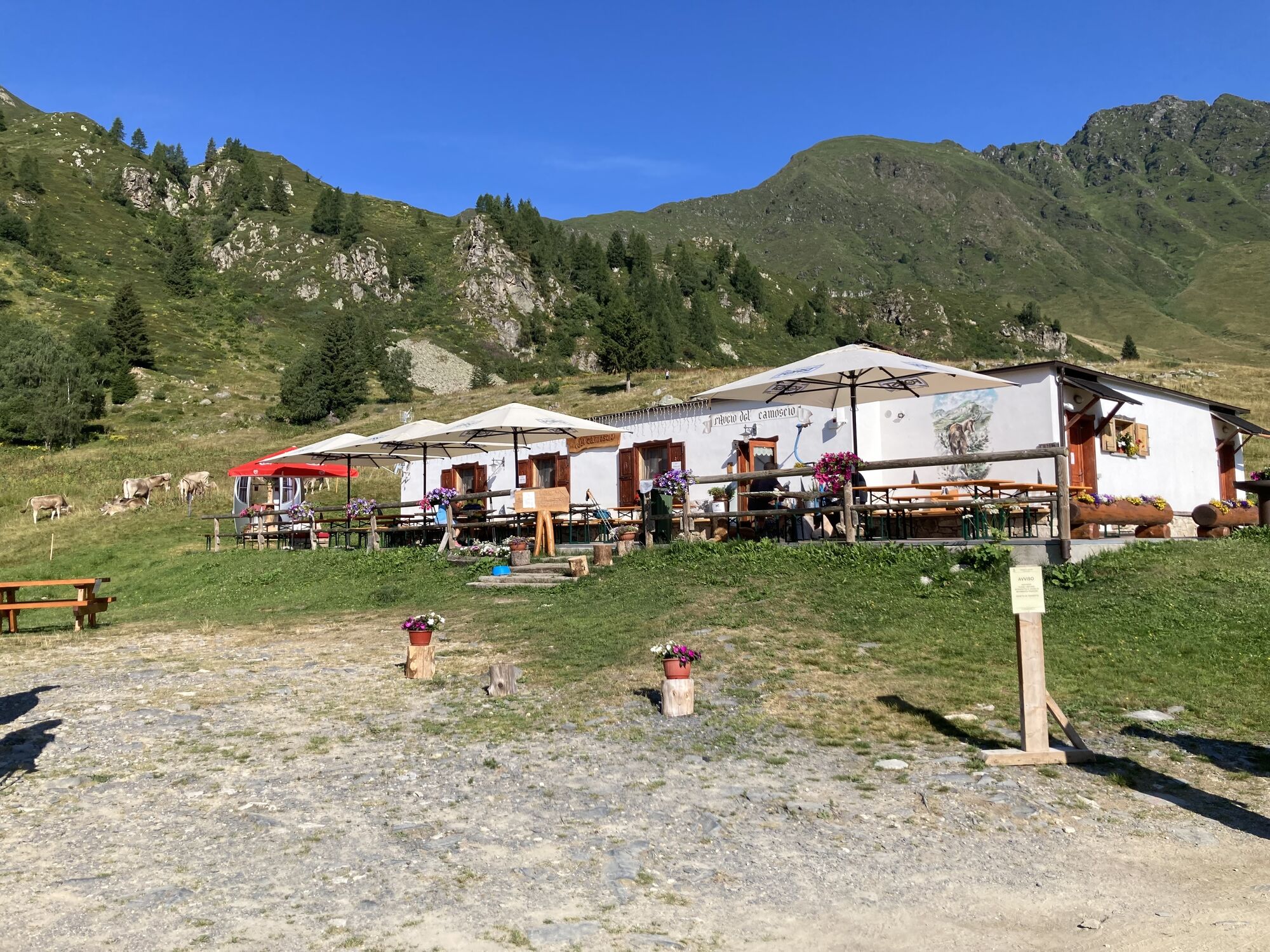
Rifugio Giretta
(1.773 m)
Restaurant
27,0 km
Carona
(1.135 m)
Dorf
30,1 km
Il Bivacco
(1.310 m)
Restaurant
31,8 km
Pagliari
(1.309 m)
Siedlung
31,9 km
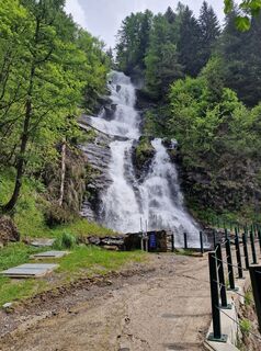
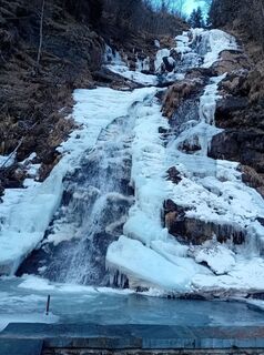
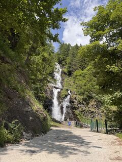
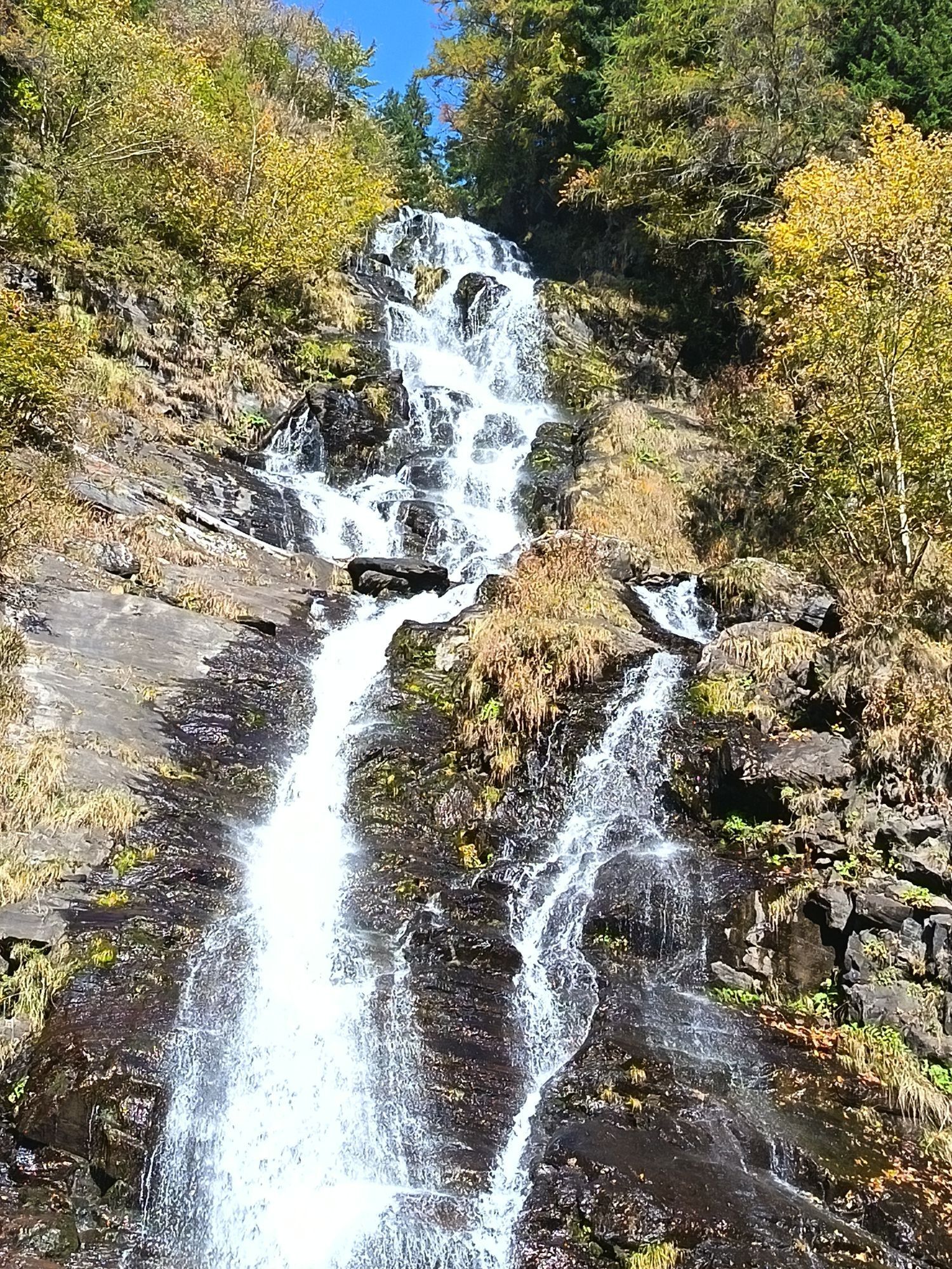
Cascata della Val Sambuzza
(1.413 m)
Wasserfall
32,6 km
Il dosso
(1.480 m)
Flur/Gelände
33,0 km
Il dosso
(1.480 m)
Flur/Gelände
37,4 km
Cascata della Val Sambuzza
(1.413 m)
Wasserfall
37,8 km
Pagliari
(1.309 m)
Siedlung
38,5 km
Carona
(1.135 m)
Dorf
40,9 km
La Locanda dei Cantù
(1.119 m)
Restaurant
41,0 km
Branzi
(856 m)
Dorf
44,5 km
Chiesa di San Bartolomeo
(840 m)
Andachtsstätte
44,8 km
Noch keine Bewertungen
Beliebte Touren in der Nähe
-
Das Bergmikrokosmos von Sostila im Val Fabiolo
mittelWanderung 1,39 km -
Panoramische Rundwanderung zwischen dem unteren Veltlin und dem Val Tartano
mittelWanderung 4,44 km -
Zorzone Croce
Sonstiges 11,2 km -
Branzi Scalata
Sonstiges 3,09 km -
Passo Marogella Laghetto di Pietra Quadra
Sonstiges 10,2 km -
Cima Piazzotti Rifugio Benigni
Sonstiges 15,5 km -
Pizzo Farno
Sonstiges 13,3 km -
4,4
Ristoro cinque laghi - Monte Cabianca - Monte Val Rossa - Monte dei Frati
schwerWanderung 20,4 km -
Sentiero dei fiori
mittelWanderung 8,34 km -
Passo San Marco mit dem Rad
schwerRennrad 26,0 km
Wandern & Tracking

Über 550.000 Tourenvorschläge, detailliertes Kartenmaterial und ein intuitiver Routenplaner machen die App zum Must-have für alle Naturbegeisterten.

Verpasse keine Angebote und Inspirationen für deinen nächsten Urlaub
Zum Newsletter anmelden
Fehler
Ein Fehler ist aufgetreten. Bitte versuche es erneut.
Vielen Dank für deine Anmeldung
Deine E-Mail-Adresse wurde in den Verteiler eingetragen.
Touren in ganz Europa
Österreich
Schweiz
Deutschland
Italien
Slowenien
Frankreich
Niederlande
Belgien
Polen
Liechtenstein
Tschechien
Slowakei
Spanien
Kroatien
Bosnien und Herzegowina
Luxemburg
Andorra
Portugal
Island
Vereinigtes Königreich
Irland
Griechenland
Albanien
Nordmazedonien
Malta
Norwegen
Montenegro
Moldau
Kosovo
Ungarn
San Marino
Rumänien
Estland
Lettland
Belarus
Zypern
Litauen
Serbien
Bulgarien
Monaco
Dänemark
Schweden
Finnland