Exploring the Serra de Aire and Candeeiros
schwer
Navigieren
Navigieren
Hol diese Tour auf dein Handy
Exploring the Serra de Aire and Candeeiros
schwer
Mountainbike
93,16
km
QR-Code scannen und Navigation in der bergfex App beginnen

Wandern & Tracking


Exploring the Serra de Aire and Candeeiros
schwer
Distanz
93,16
km
Dauer
05:28
h
Aufstieg
1.630
hm
Seehöhe
40 -
532
m
Track-Download
Exploring the Serra de Aire and Candeeiros
schwer
Mountainbike
93,16
km
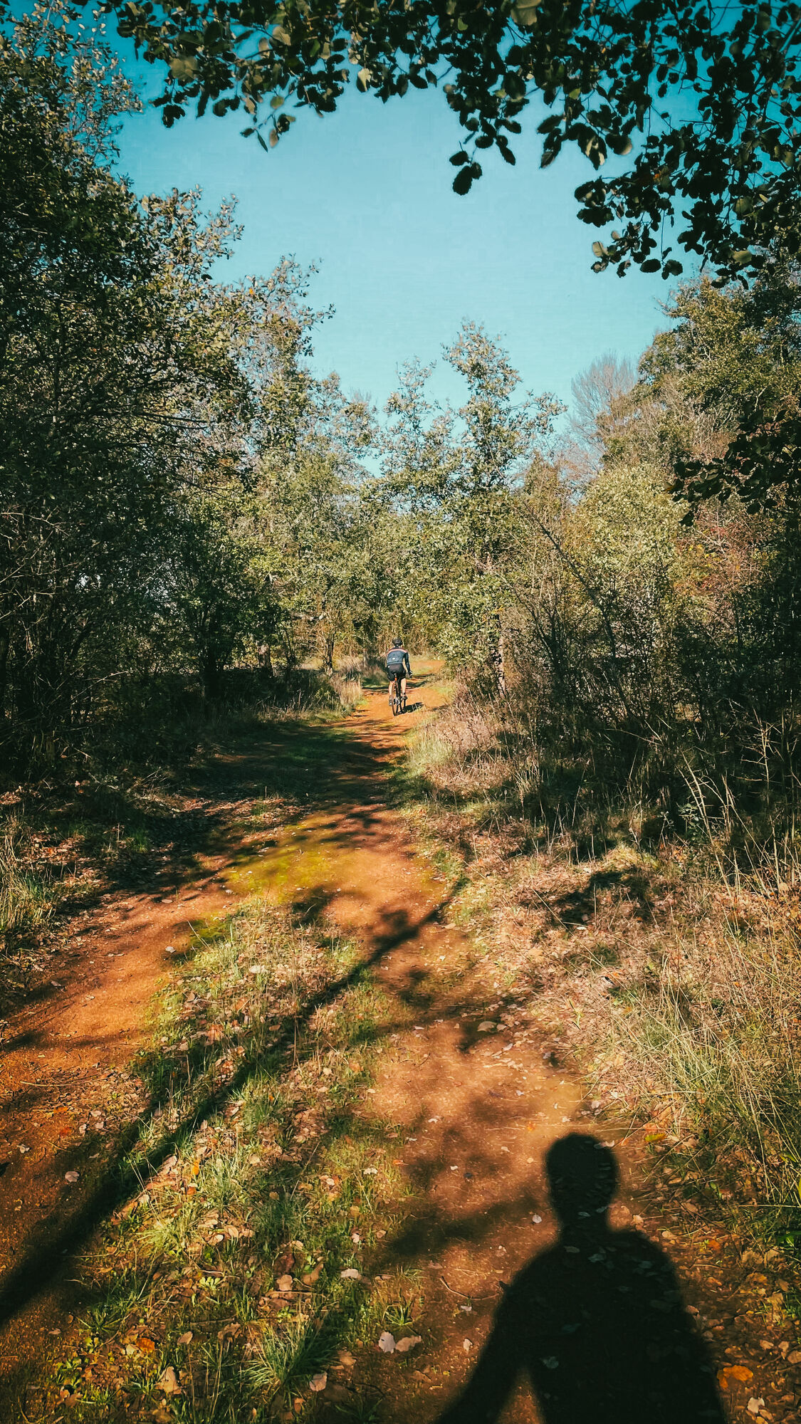
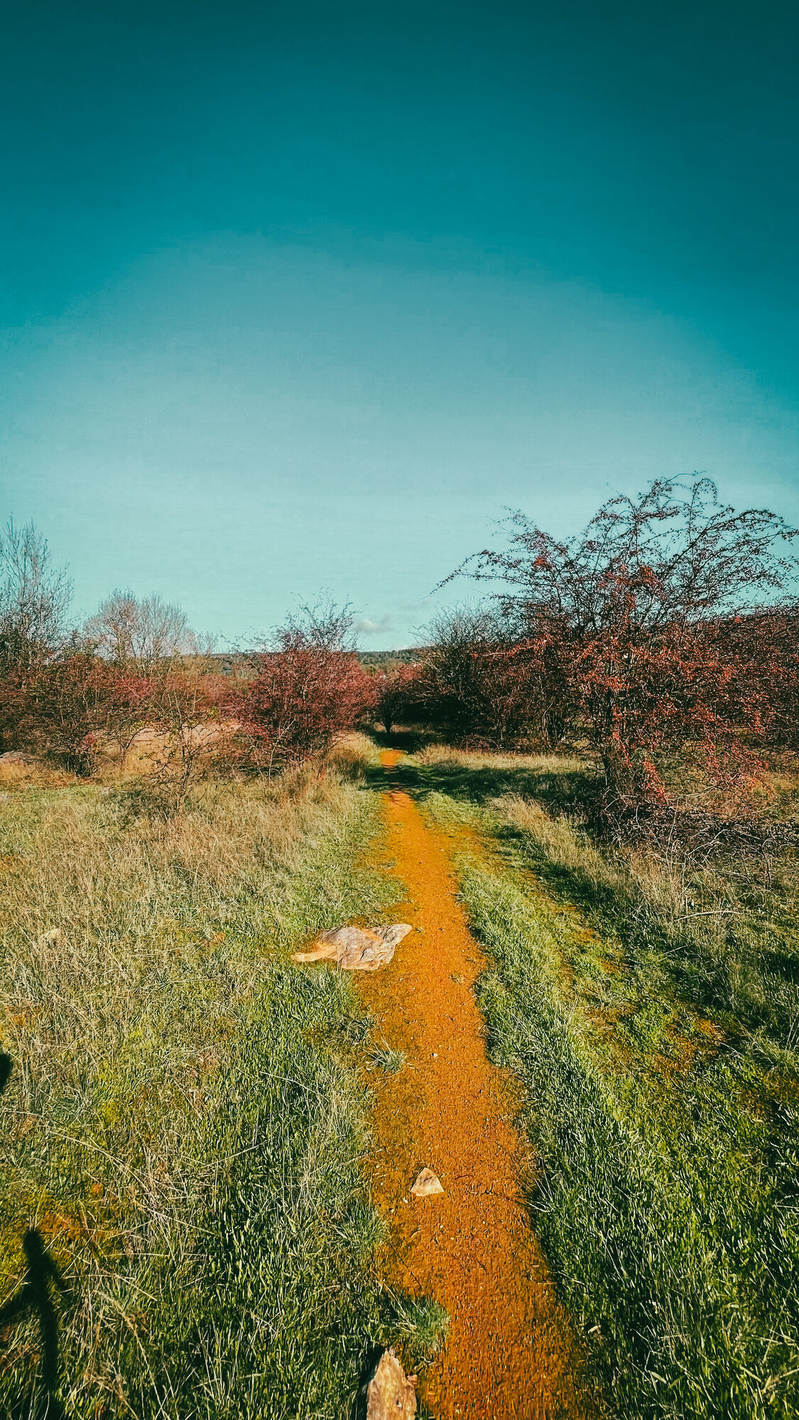
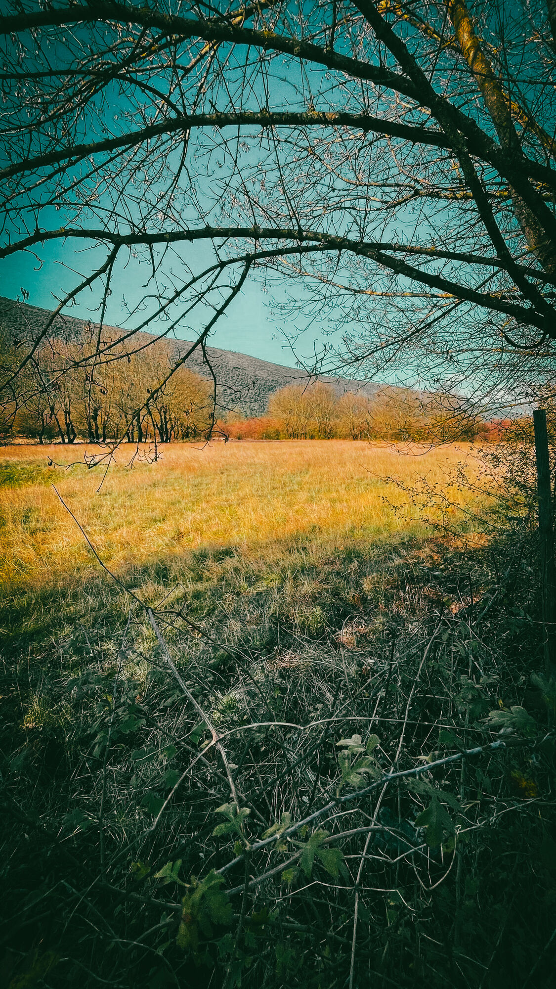
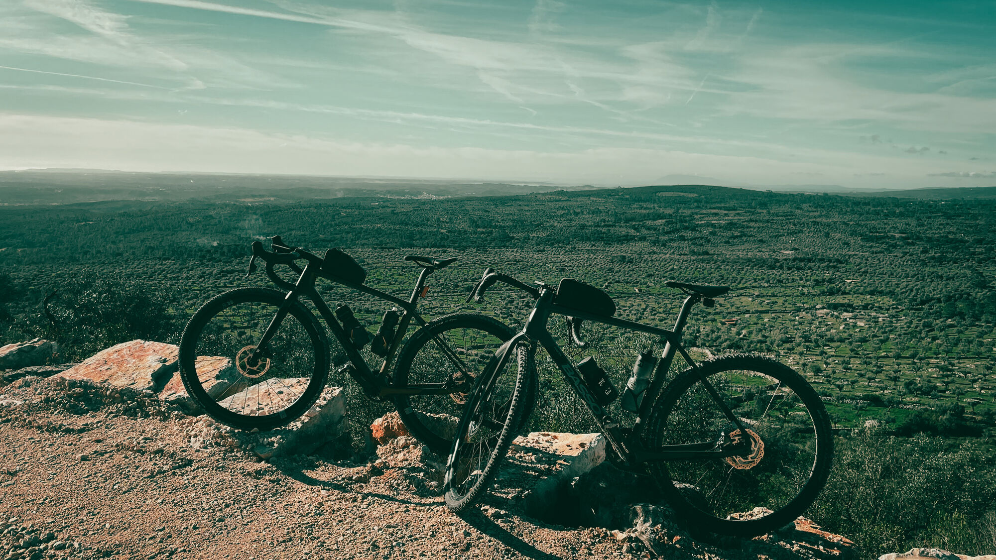
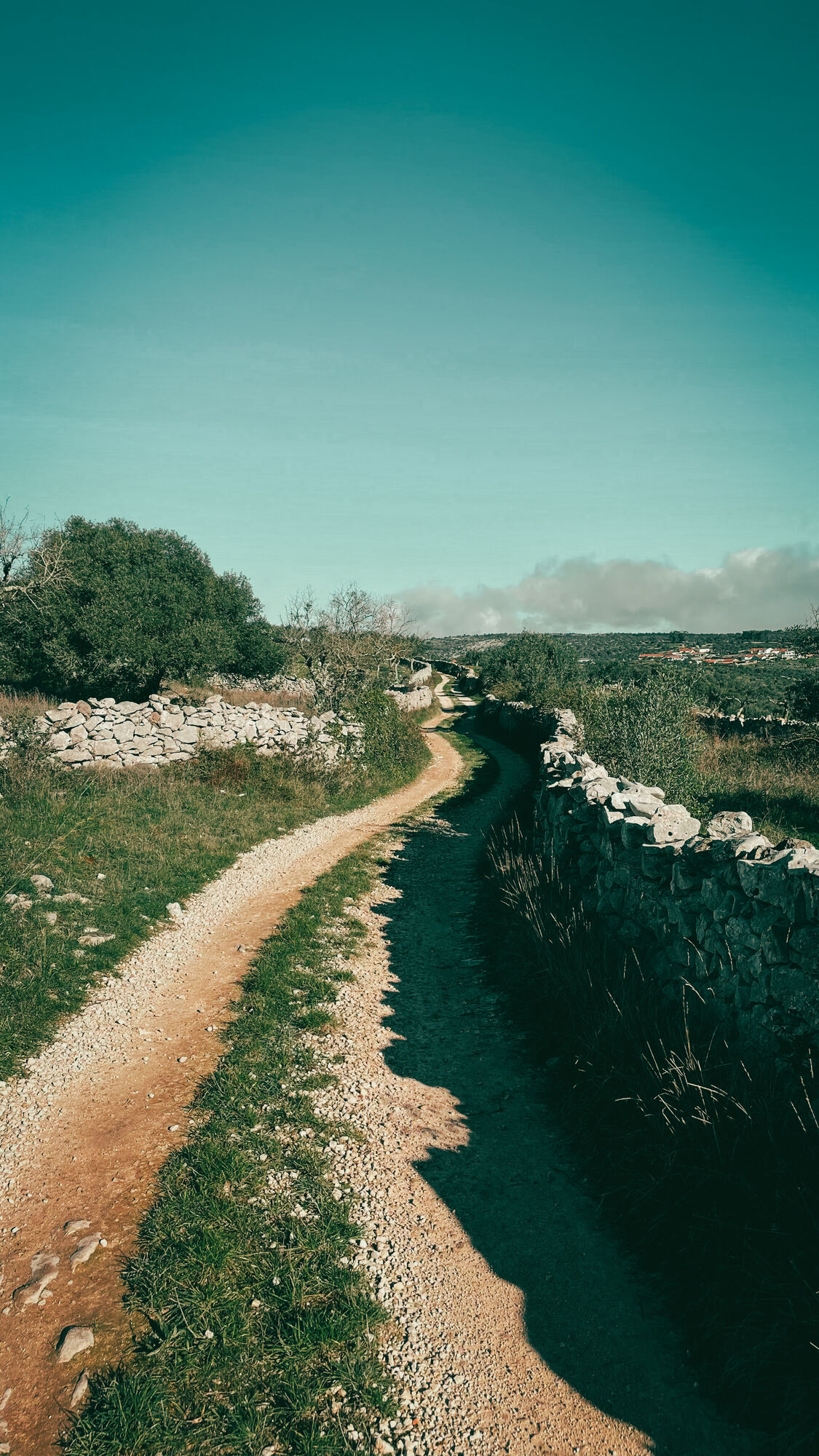
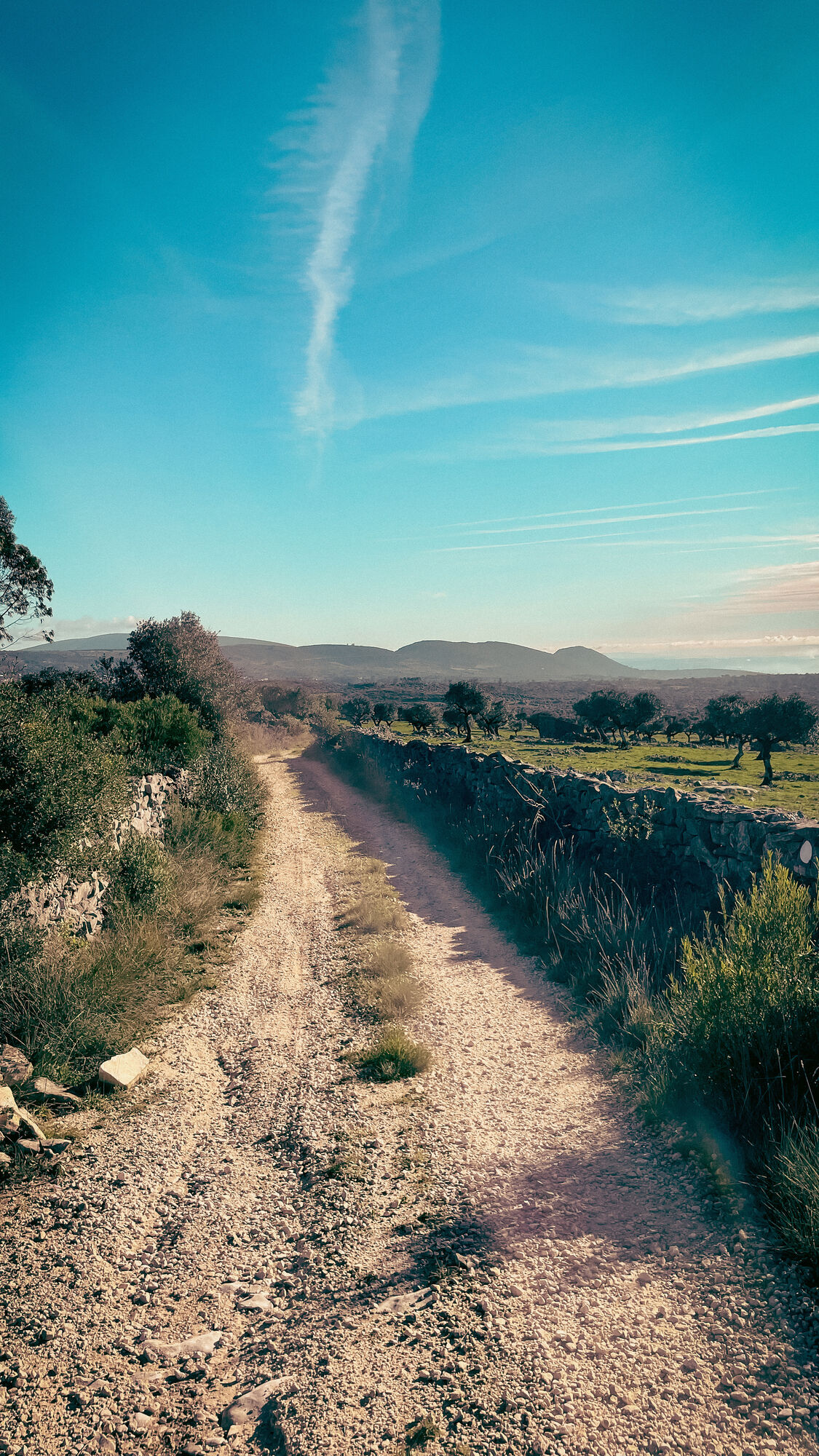
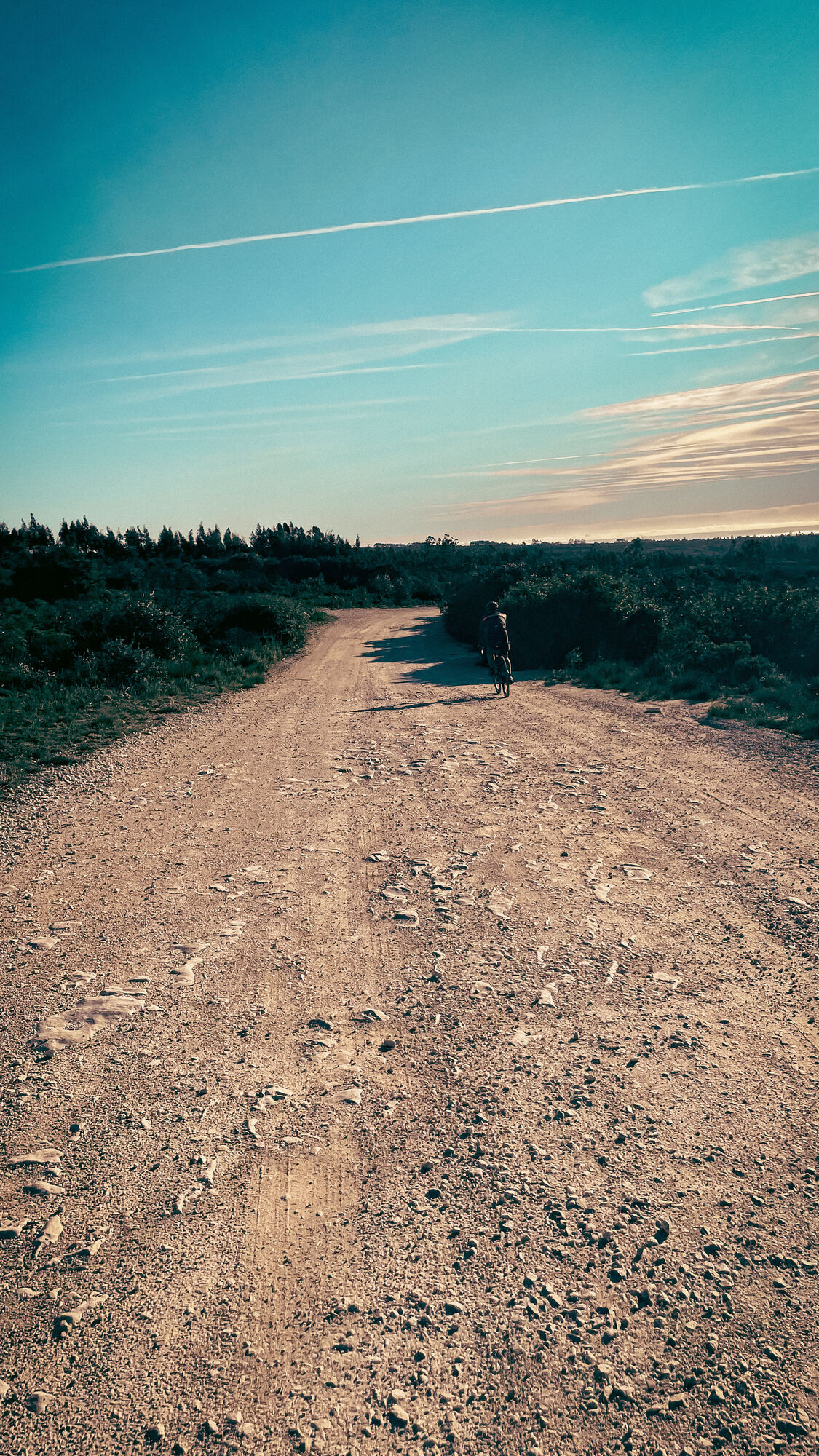
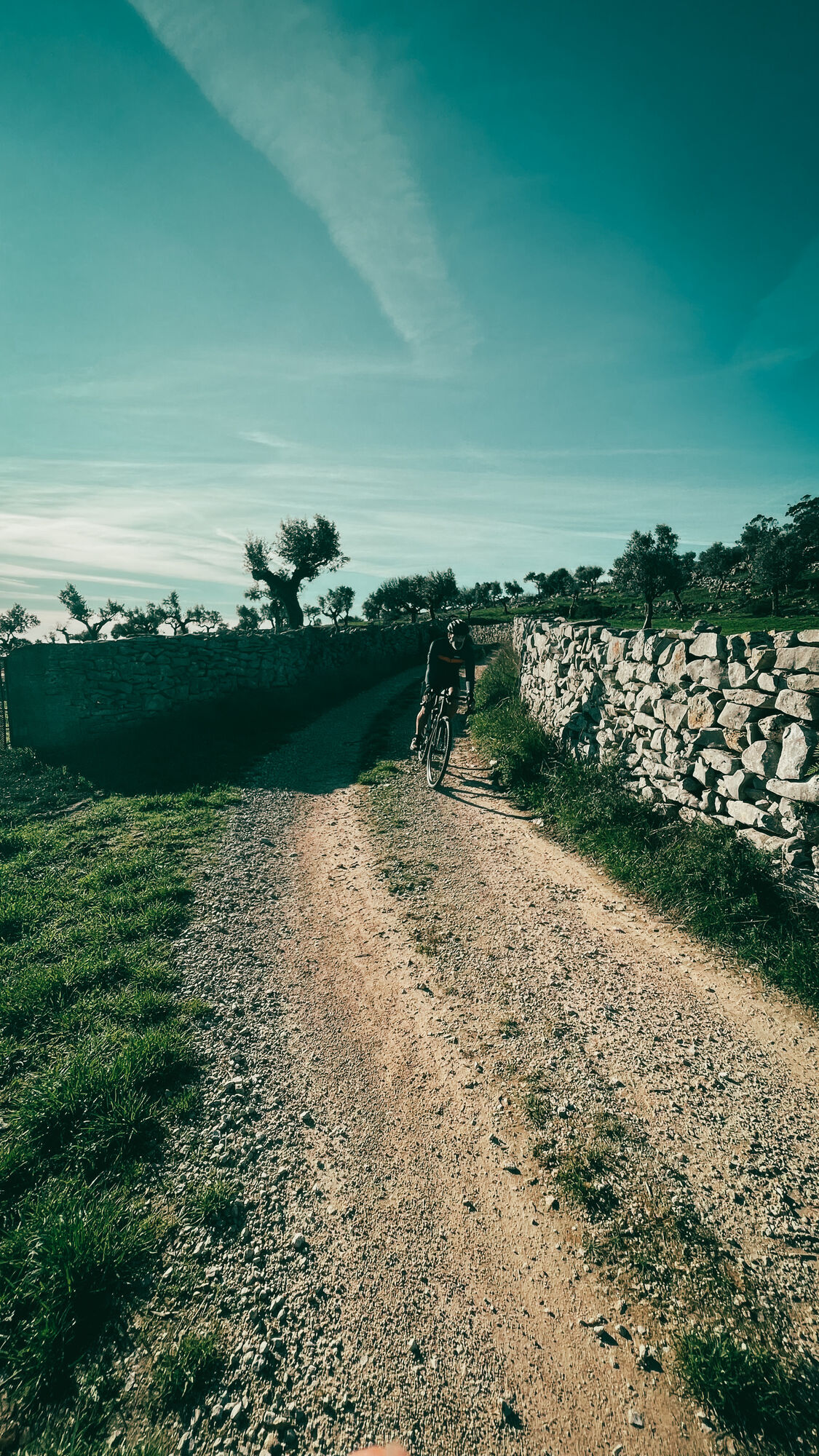
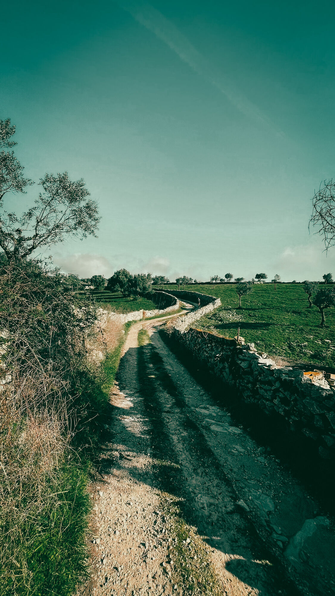
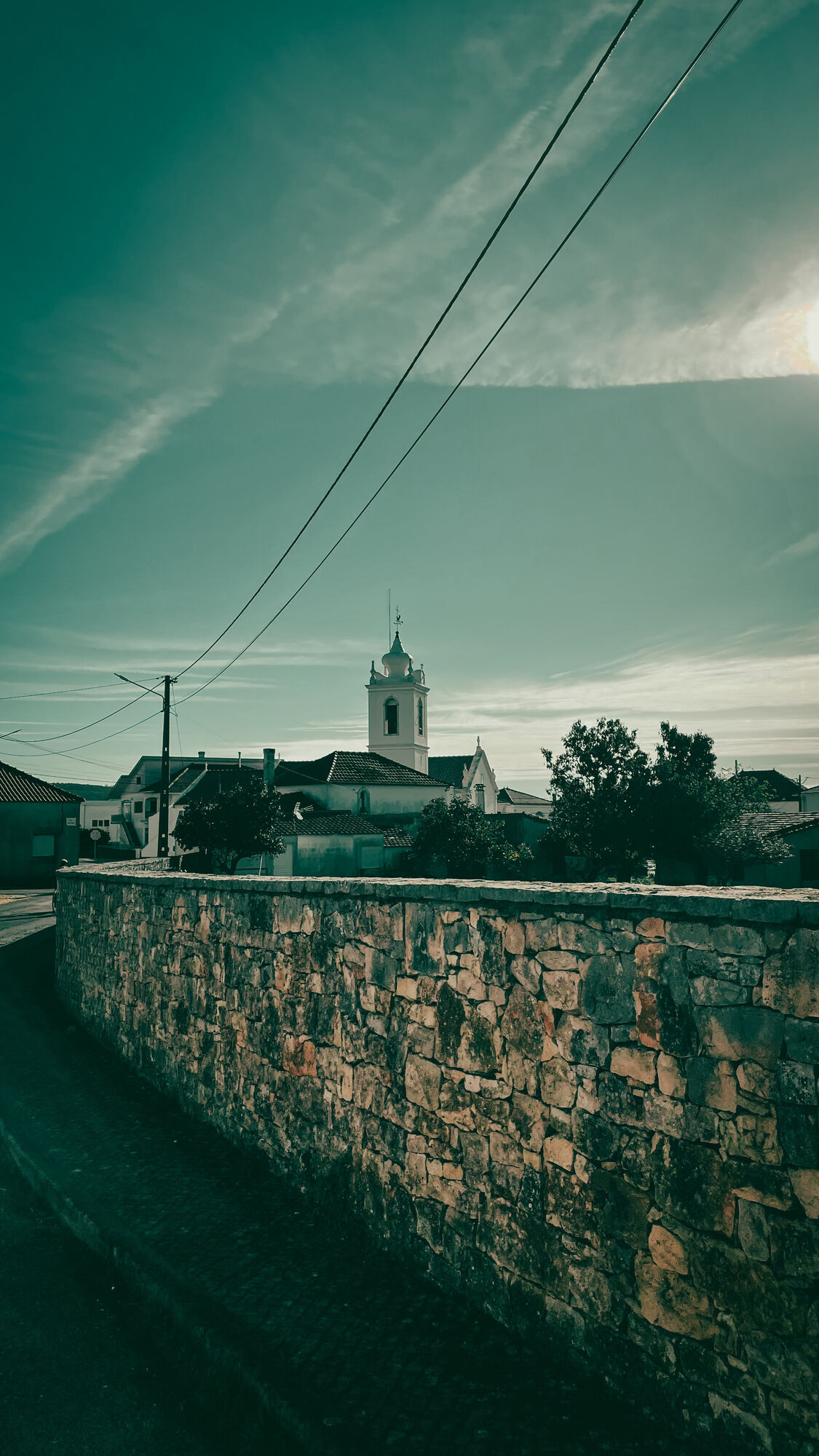
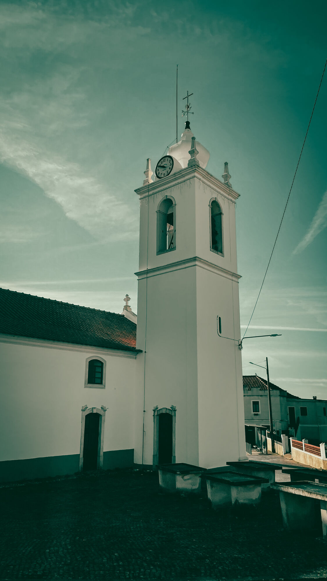
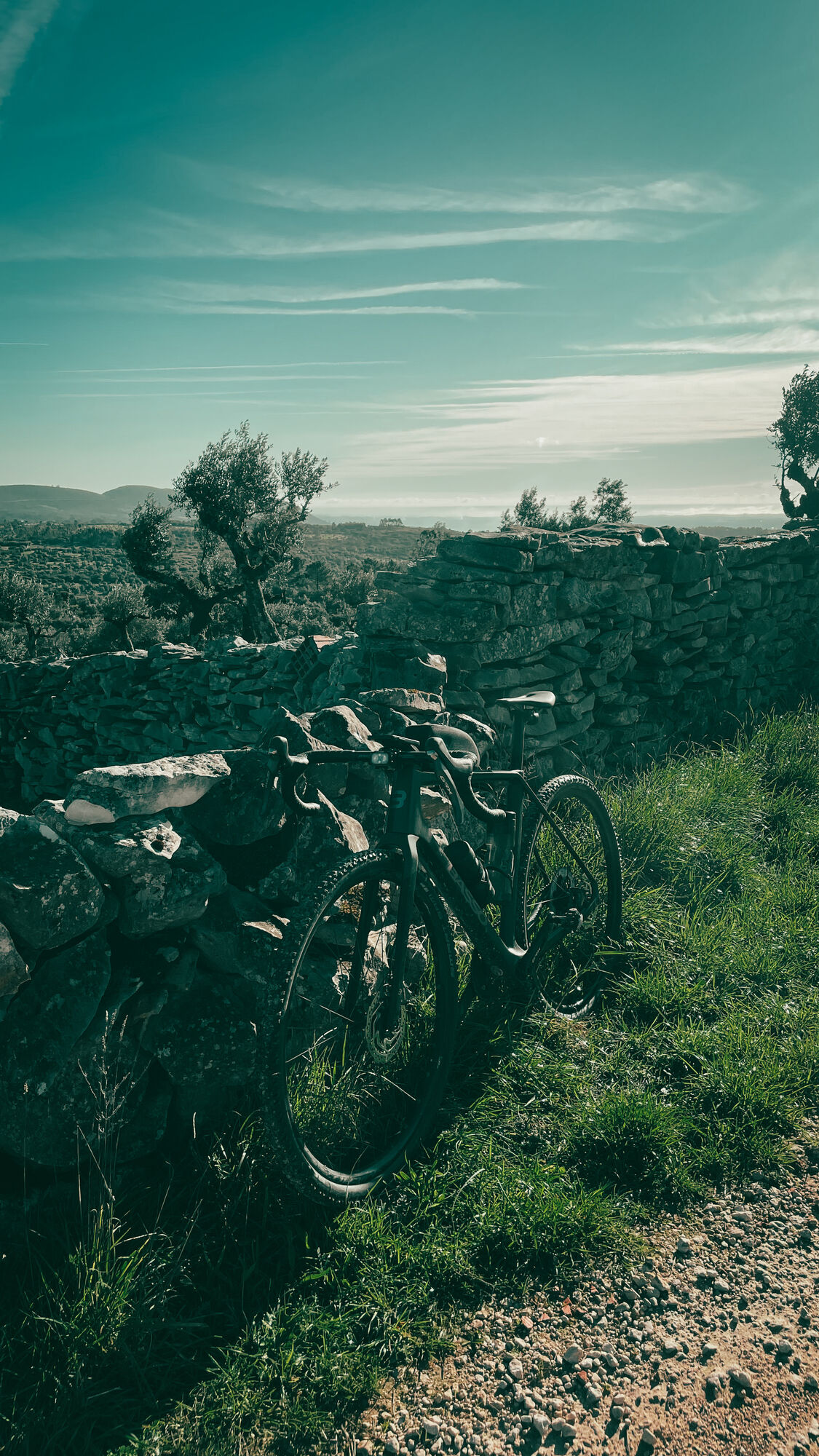
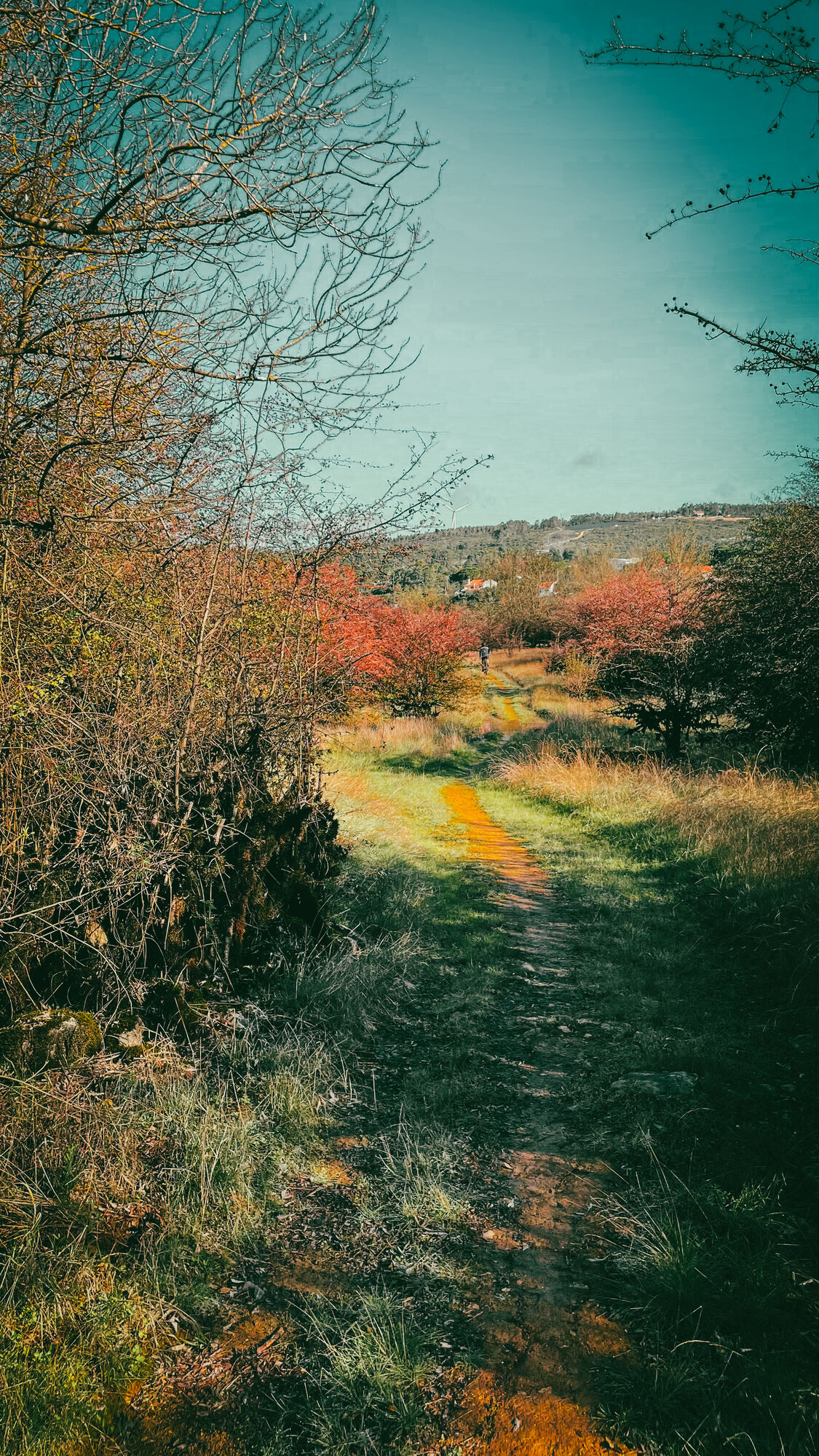
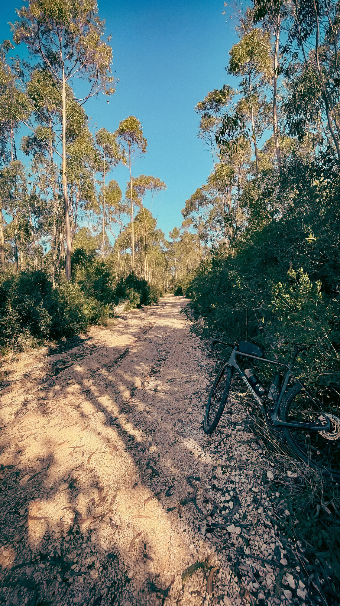
Fotos unserer User
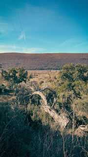
 © NenoErstellt am 09.11.2024
 © NenoErstellt am 09.11.2024
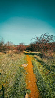 © NenoErstellt am 09.11.2024
 © NenoErstellt am 09.11.2024
 © NenoErstellt am 09.11.2024
 © NenoErstellt am 09.11.2024
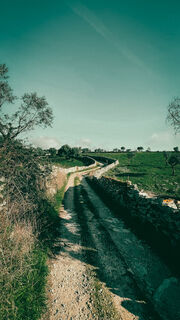 © NenoErstellt am 09.11.2024
 © NenoErstellt am 09.11.2024
 © NenoErstellt am 09.11.2024
 © NenoErstellt am 09.11.2024
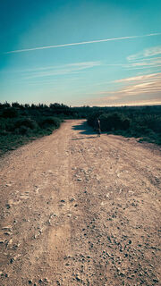 © NenoErstellt am 09.11.2024
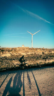 © NenoErstellt am 09.11.2024


Wegverlauf
Alcobaça
(40 m)
Stadt
0,0 km
Moleanos
(168 m)
Siedlung
7,1 km
Capela de São Sebastião
(208 m)
Andachtsstätte
45,1 km
Mira de Aire
(247 m)
Stadt
49,9 km
Igreja de São Pedro
(126 m)
Andachtsstätte
73,6 km
Esparrela
(165 m)
Siedlung
75,7 km
Alcobaça
(40 m)
Stadt
93,1 km
Wegverlauf
Exploring the Serra de Aire and Candeeiros
schwer
Mountainbike
93,16
km
Alcobaça
(40 m)
Stadt
0,0 km
Quinta do Almeida
(44 m)
Stadtviertel
0,0 km
Quinta da Roda
(47 m)
Stadtviertel
0,2 km
Ganilhos
(55 m)
Siedlung
0,8 km
Chiqueda
(42 m)
Siedlung
1,7 km
Covões
(158 m)
Siedlung
5,1 km
Estreia Tempero
(177 m)
Restaurant
6,7 km
Moleanos
(168 m)
Siedlung
7,1 km
Alqueidão do Arrimal
(366 m)
Siedlung
19,8 km
Mendiga
(332 m)
Dorf
22,6 km
Fontainhas
(380 m)
Siedlung
31,5 km
Curraleira
(434 m)
Siedlung
35,7 km
Telhados Grandes
(397 m)
Siedlung
37,0 km
Freira
(363 m)
Siedlung
38,4 km
Igreja Paroquial de Serra de Santo António
(360 m)
Andachtsstätte
39,0 km
Serra de Santo António
(359 m)
Dorf
39,0 km
Bajanca
(355 m)
Siedlung
39,2 km
Bajouco
(375 m)
Siedlung
40,1 km
Covão Formoso
(392 m)
Flur/Gelände
42,2 km
Capela de São Sebastião
(208 m)
Andachtsstätte
45,1 km
Minde
(205 m)
Stadt
45,1 km
Horácius Bar
(295 m)
Restaurant
49,4 km
Sabores Unicos
(302 m)
Restaurant
49,4 km
Mira de Aire
(247 m)
Stadt
49,9 km
Crespos
(406 m)
Siedlung
60,8 km
Portela das Cruzes
(414 m)
Siedlung
61,9 km
Pia do Urso
(431 m)
Siedlung
62,3 km
Petisqueira Palheiro do Requêto
(431 m)
Restaurant
62,4 km
Piadussa
(440 m)
Restaurant
62,5 km
Eiras da Lagoa
(187 m)
Siedlung
72,2 km
Igreja de São João
(143 m)
Andachtsstätte
73,0 km
Porto de Mós
(145 m)
Stadt
73,1 km
Igreja de São Pedro
(126 m)
Andachtsstätte
73,6 km
Corredoura
(167 m)
Siedlung
74,9 km
Tourões
(166 m)
Siedlung
75,5 km
Esparrela
(165 m)
Siedlung
75,7 km
Casais de Baixo
(158 m)
Siedlung
76,2 km
Cabeço do Rocho
(154 m)
Siedlung
77,7 km
Barreiro
(164 m)
Siedlung
78,2 km
Pedreiras
(151 m)
Dorf
78,3 km
Covão
(152 m)
Siedlung
79,2 km
Casal Boieiro
(159 m)
Siedlung
79,8 km
Ataíja de Cima
(167 m)
Siedlung
85,4 km
Ataíja de Baixo
(160 m)
Siedlung
87,0 km
Casal do Rei
(154 m)
Siedlung
88,1 km
Chiqueda
(42 m)
Siedlung
91,9 km
Ganilhos
(55 m)
Siedlung
92,8 km
Alcobaça
(40 m)
Stadt
93,1 km


Anreiseinformationen
Anreise
Car, train
Öffentliche Verkehrsmittel
Yes
Parken
Yes
Noch keine Bewertungen
Beliebte Touren in der Nähe
- 4,0
Alcobaça to Batalha to Alcobaça
mittelMountainbike 55 km If you like mountains, this is for you, watch out for the climbs
schwerMountainbike 38,6 kmAlcobaça>Azoia, híbrido
mittelMountainbike 66,0 kmMiradouro de São Brás - Igreja Velha de Pedreiras - Igreja de Nossa Senhora da Consolação - Fátima
Pilgerweg 56,6 kmAlvados - Cova da Velha - Igreja da Maiorga - Capela de São Bento
Radfahren 67 kmIgreja de Nossa Senhora da Consolação - A Gralha - Igreja Paroquial de Serra de Santo António - Amiais de Baixo
Radfahren 47,3 kmFerraria - Igreja Baptista de Alcobaça - Igreja da Nossa Senhora da Misericórdia - Capela da Ribeira do Pereiro
schwerMountainbike 49,8 kmOlhos de Água do Alviela - Capela de São Silvestre - Capela Nossa Senhora da Boa Morte - Alcanena e Vila Moreira
schwerRennrad 92,3 kmPisões - Capela da Ribeira do Pereiro - Capela de Nossa Senhora da Graça - Igreja de Nossa Senhora da Luz
mittelMountainbike 27,6 kmCoz - Capela de Santa Rita - Santa Rita
mittelWanderung 5,83 km
Wandern & Tracking

Über 550.000 Tourenvorschläge, detailliertes Kartenmaterial und ein intuitiver Routenplaner machen die App zum Must-have für alle Naturbegeisterten.

Verpasse keine Angebote und Inspirationen für deinen nächsten Urlaub
Zum Newsletter anmelden
Fehler
Ein Fehler ist aufgetreten. Bitte versuche es erneut.Vielen Dank für deine Anmeldung
Deine E-Mail-Adresse wurde in den Verteiler eingetragen.
Touren in ganz Europa
Österreich Schweiz Deutschland Italien Slowenien Frankreich Niederlande Belgien Polen Liechtenstein Tschechien Slowakei Spanien Kroatien Bosnien und Herzegowina Luxemburg Andorra Portugal Island Vereinigtes Königreich Irland Griechenland Albanien Nordmazedonien Malta Norwegen Montenegro Moldau Kosovo Ungarn San Marino Rumänien Estland Lettland Belarus Zypern Litauen Serbien Bulgarien Monaco Dänemark Schweden Finnland