


Žična Trail 2
Info: http://zicnatrails.si/, http://ridgelinetrails.si/ Trail grade: Difficult – Red. (Trailforks trail difficulty classification) Žična trail is combined of 4 sections on diverse terrain. Upper section...
Info: zicnatrails.si/, ridgelinetrails.si/
Trail grade: Difficult – Red. (Trailforks trail difficulty classification)
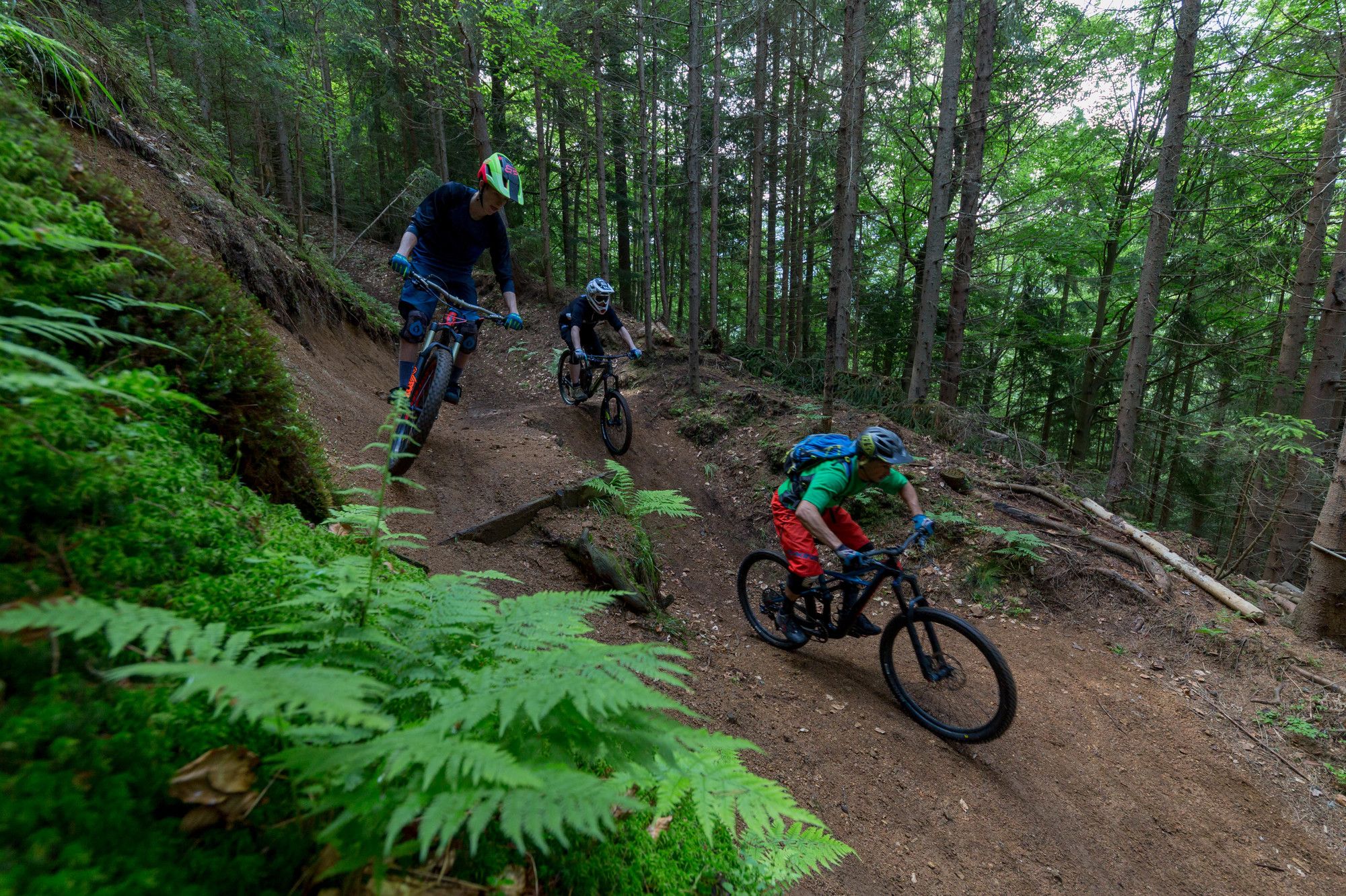
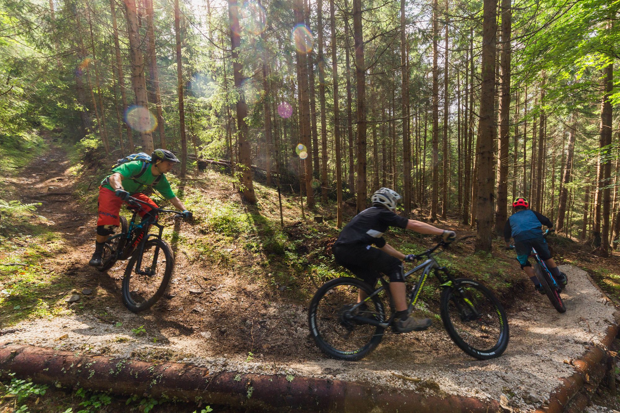
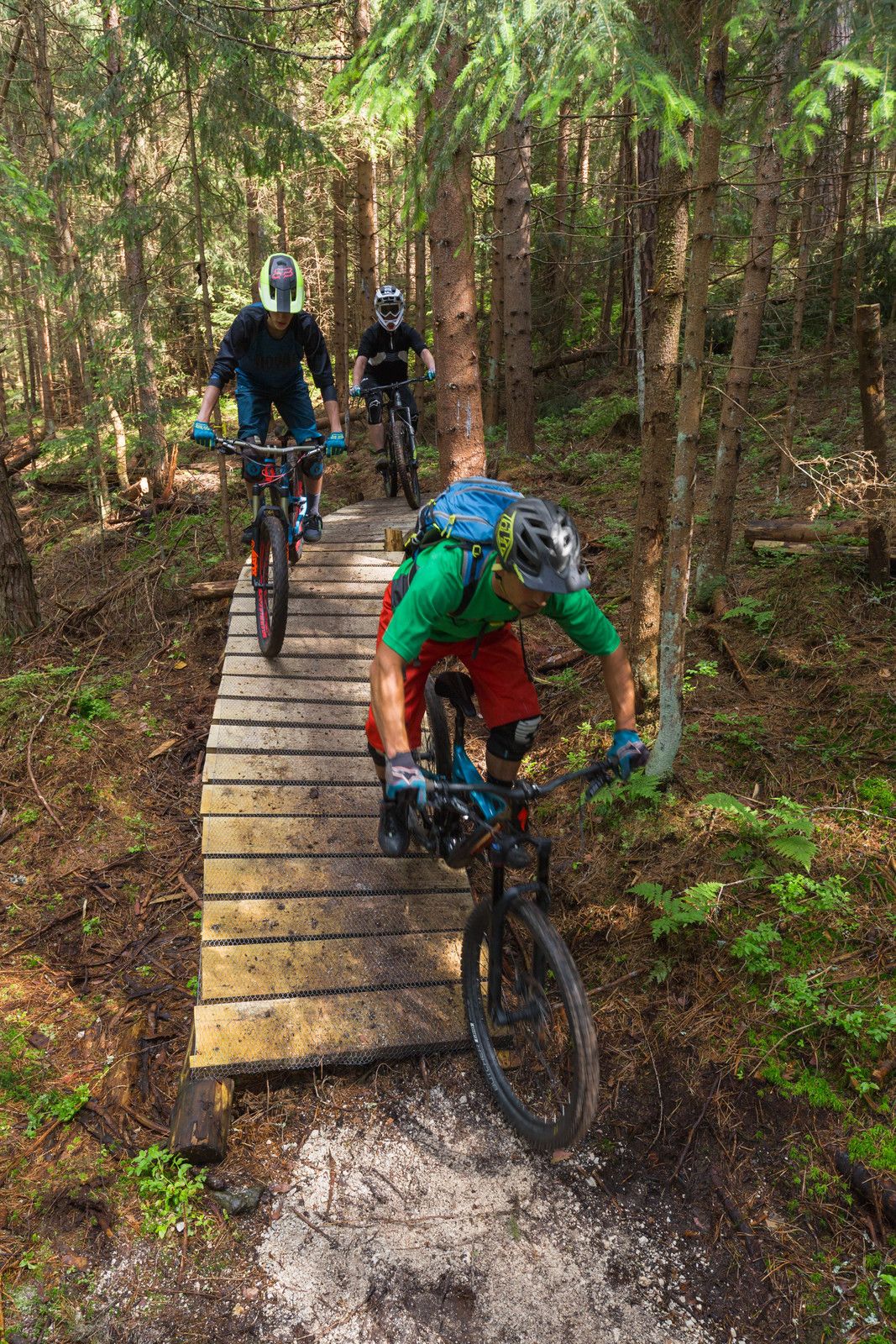
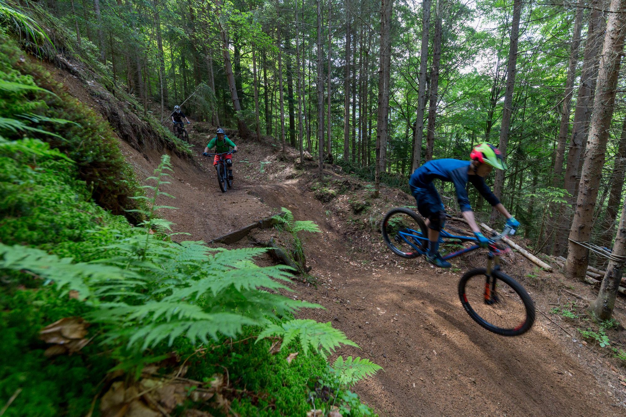
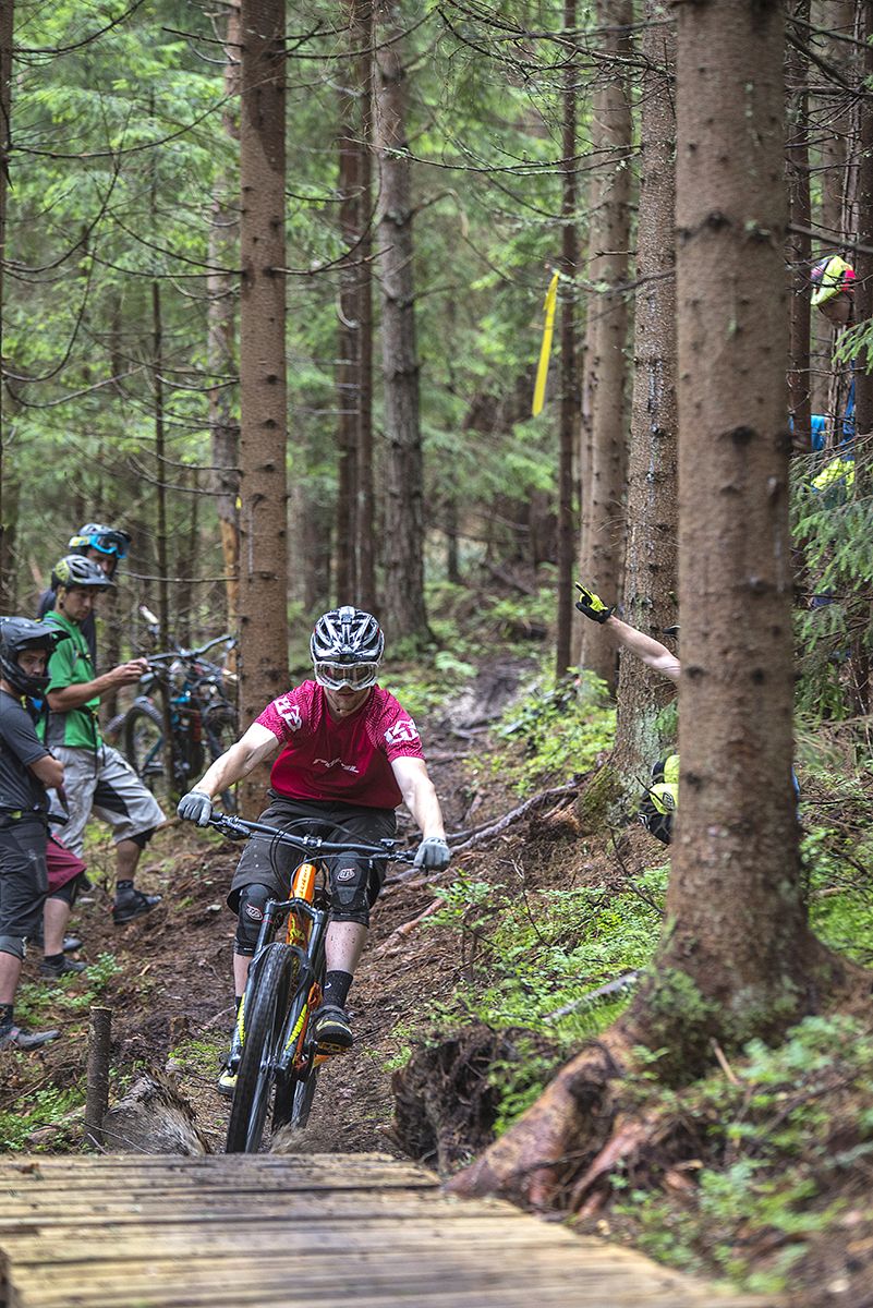
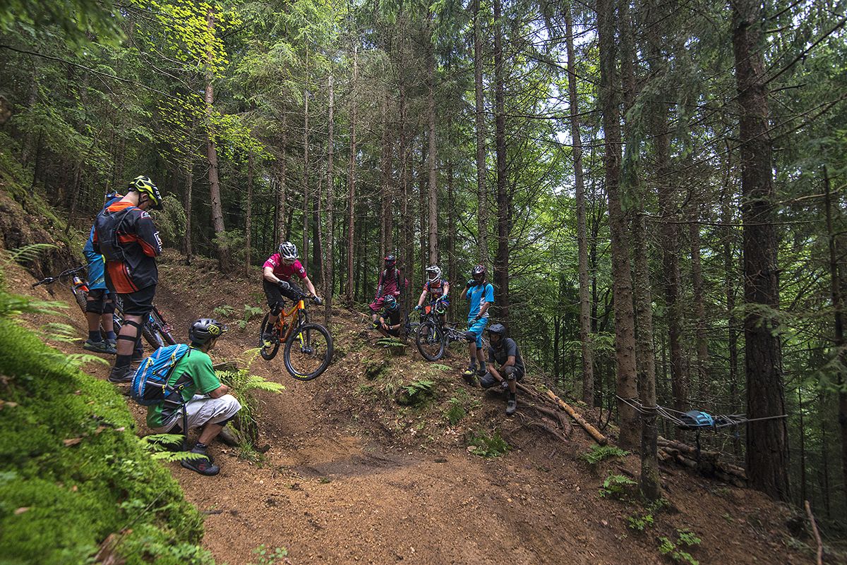
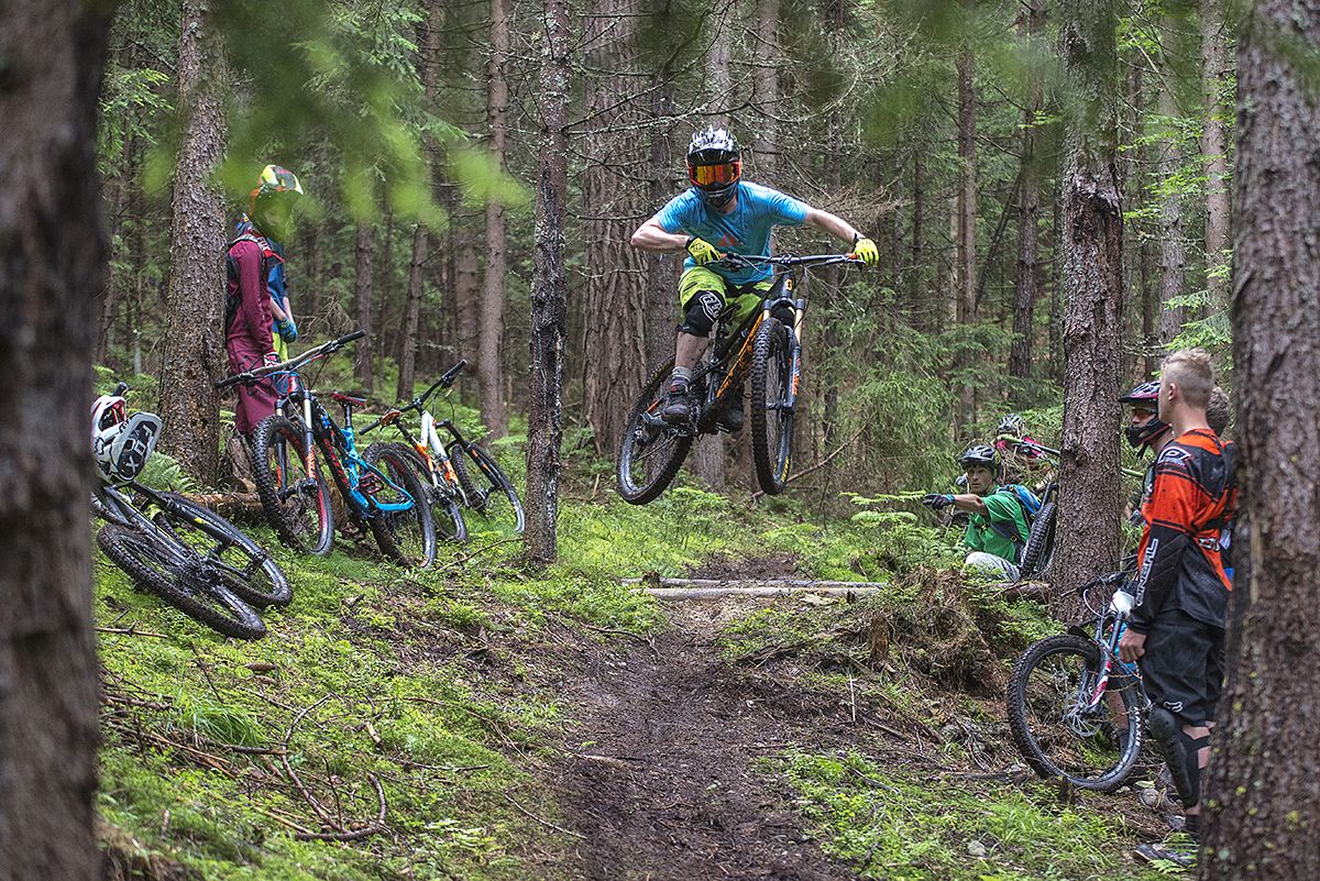
Žična trail is combined of 4 sections on diverse terrain. Upper section is steep, starts with a sharp right turn, continues with narrow trail, camber, roots, rock garden, double roller (option to by pass on the right), small drop and finishes with a white, left berm. Middle section (right after the berm) is divided into two options: Right option (Žična 1) is a bit shorter, but fun, while left option (Žična 2) is longer with more manmade features, still red, also fun. Both join right above fitness trail. Bottom part is fIowy, but steep towards finish, with few berms, medium sized drops (roll-over), two rollers and some rocks. These are general indication of difficulty, there are easier and more tricky sections within each option.
Safety:
Trail can be slippy when wet (middle section). Helmet and knee protection pads are highly recommended, elbow pads & gloves come handy aswell. Best to check current conditions with local guides from Ridgeline Trails, or at Trailforks, where you are welcome to support our trailbuilding thing. Enjoy our trails.
Ja
3/6
5/6
Beliebte Touren in der Nähe
- 3,6
Oberer Petzen-Rundmarsch
mittelWanderung 7,30 km - 4,6
Flow Country Trail - MTB ZONE Bikepark Petzen
mittelMountainbike 10,7 km - 4,5
Petzen
mittelSkitour 13,3 km - 5,0
Völkermarkt: Feistritzer Spitze
Wanderung 10,1 km - 5,0
Petzen: Knieps und Kordeschkopf - Angelos Touren
mittelWanderung 7,20 km - 4,0
Petzen
mittelSkitour 14,8 km - 4,0
Kordeschkopf 2.126m, Knieps 2.110m, Feistritzer Spitze (Hochpetzen) 2.113m & Wackendorfer Spitze 2.079m im Petzenland
schwerWanderung 20,9 km - 4,5
Topitza, Eisenkappel, Kärnten
leichtBergwandern 7,15 km - 5,0
Knieps
mittelWanderung 2,13 km - 5,0
Raduha
mittelWanderung 7,34 km

Wandern & Tracking


Verpasse keine Angebote und Inspirationen für deinen nächsten Urlaub
Deine E-Mail-Adresse wurde in den Verteiler eingetragen.