





Evo hiking trail, difficult

The difficult (approximately 18.8 km), black route starts from the Evo HAMK parking lot. It passes through the teaching forest, follows, to a great extent, Ilvesreitti (Lynx Trail) to the Sorsakolu lean-to...
The difficult (approximately 18.8 km), black route starts from the Evo HAMK parking lot. It passes through the teaching forest, follows, to a great extent, Ilvesreitti (Lynx Trail) to the Sorsakolu lean-to shelter, and back to the starting point. The route joins together the trails of Evo and Päijät-Häme, which enables the planning of a few days’ hike from the Evo area towards Padasjoki and Asikkala. There are a lot of beavers in the Evo area, as a result of which the water level may be partly elevated and cover the duckboards. The section between Lake Savijärvi and Lake Rahtijärvi is rocky, wet and potentially slippery. Water bottles can be filled at the Evo HAMK parking lot, from wells at Evo's camping areas, and from the spring located along the shore of Lake Karvalammi. There are several lean-to shelters and campfire sites with outside toilets along the route. The café located at the trail’s start and end is open on weekdays from 8 to 14.

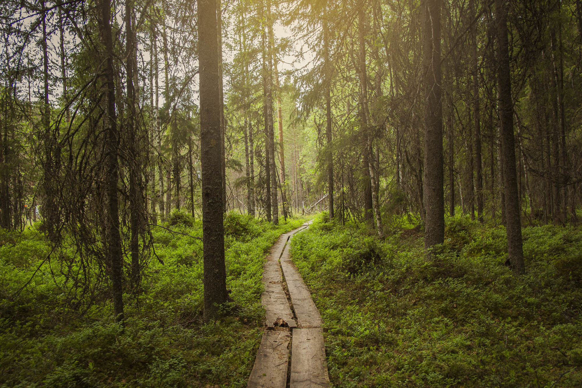
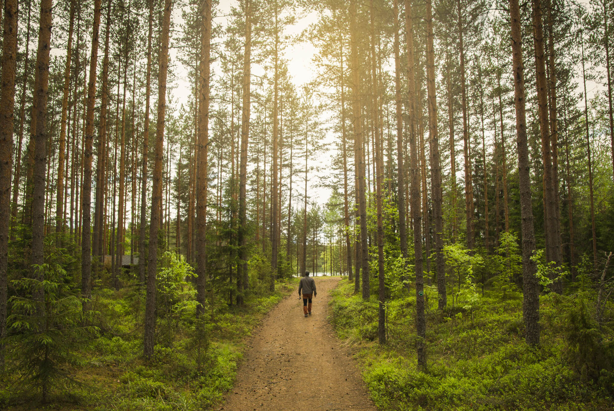
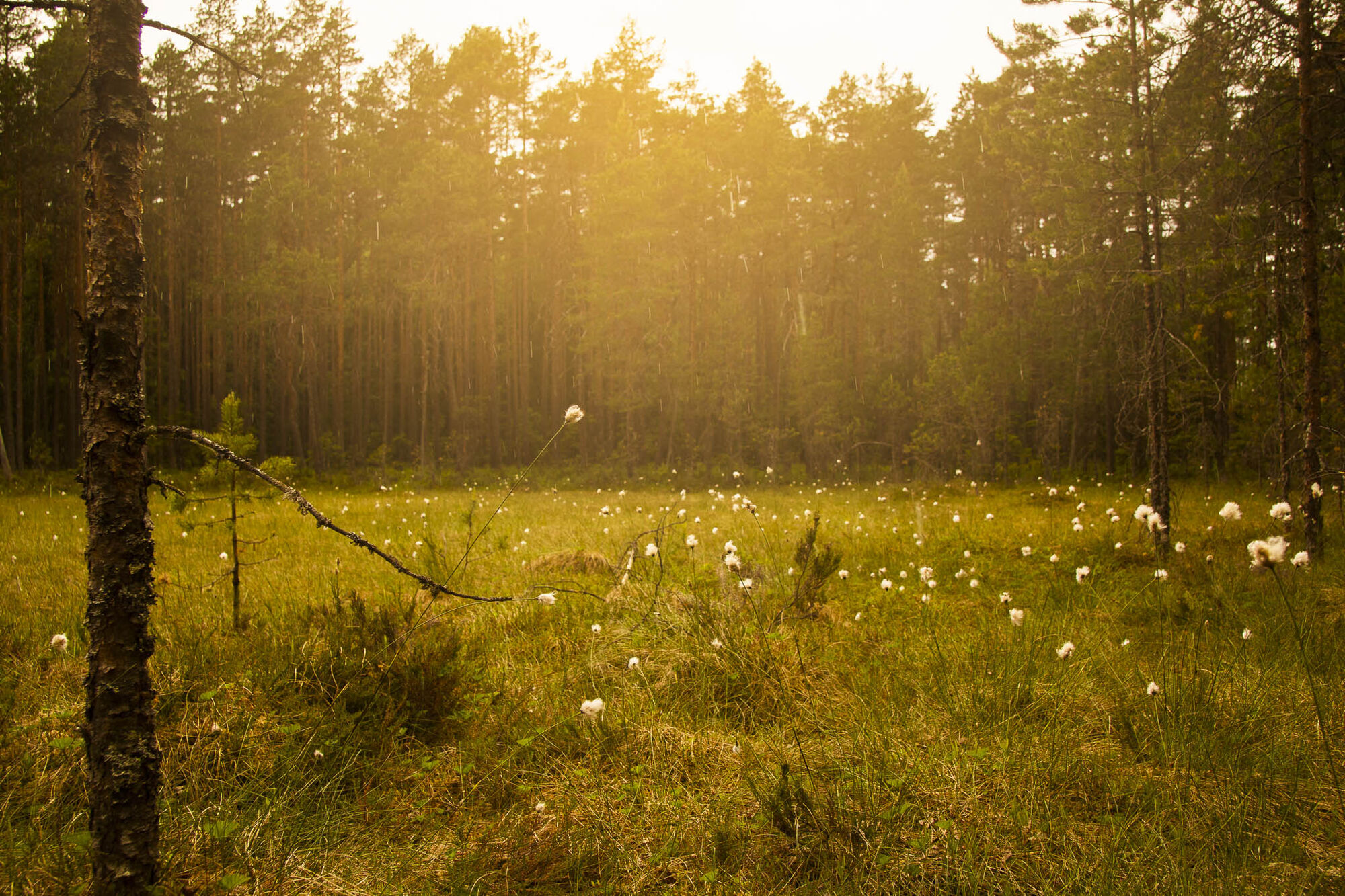
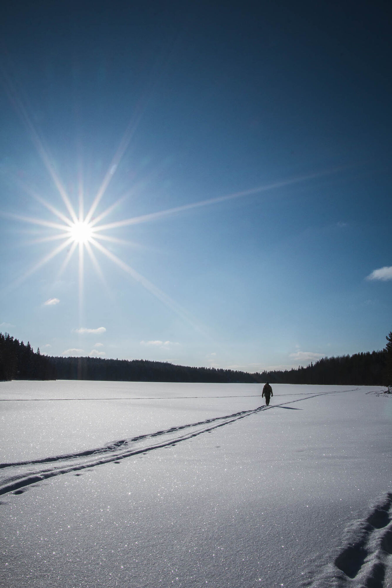
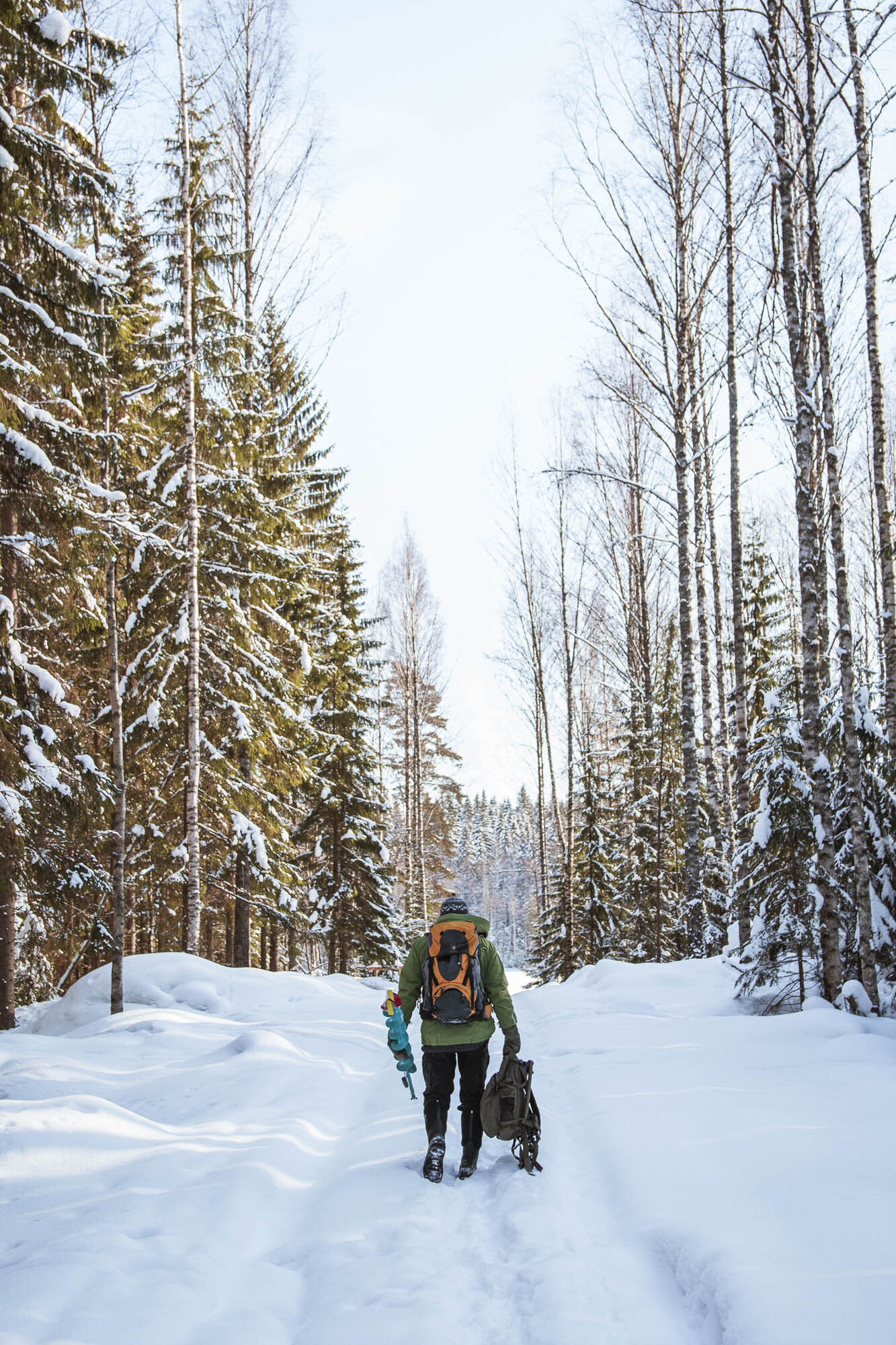
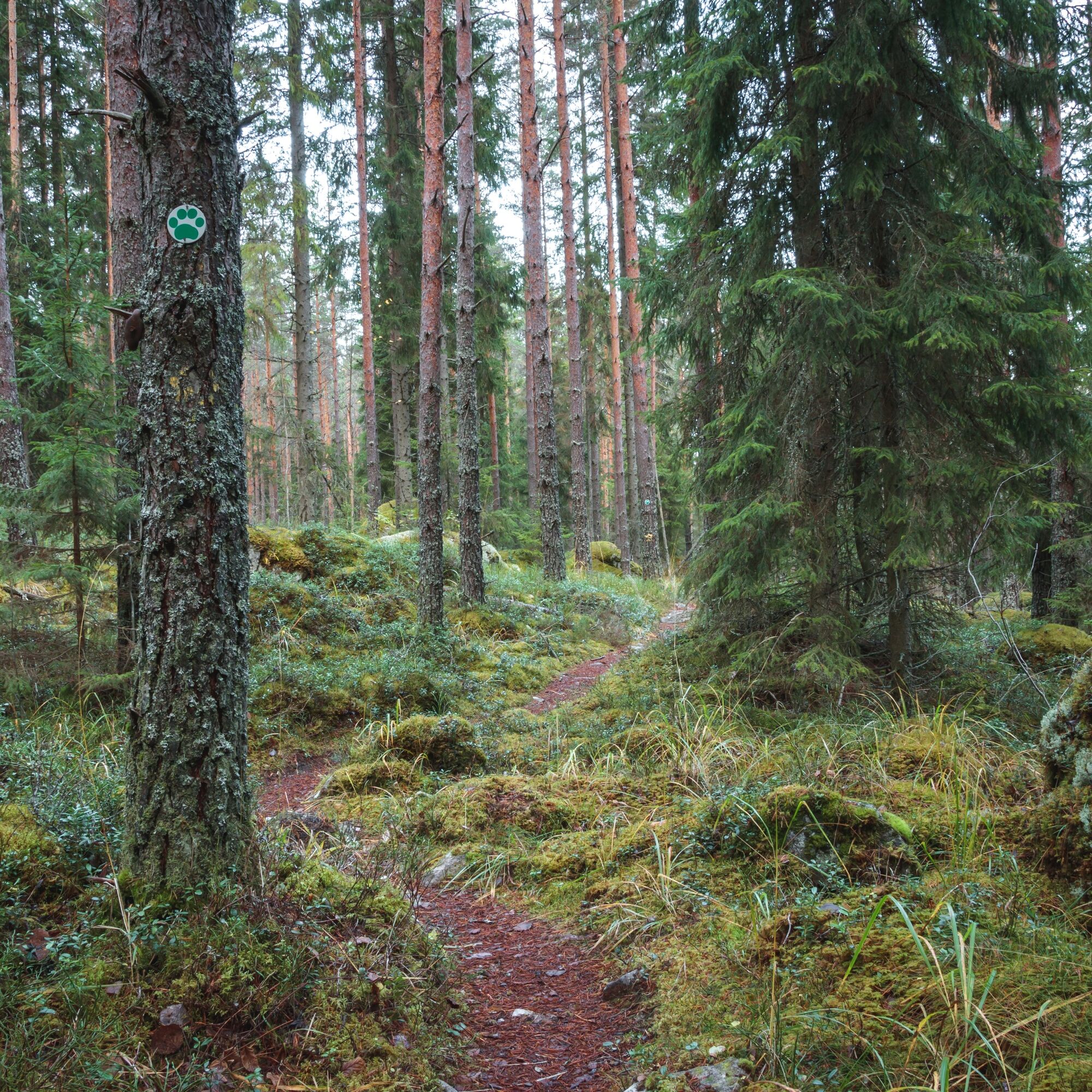
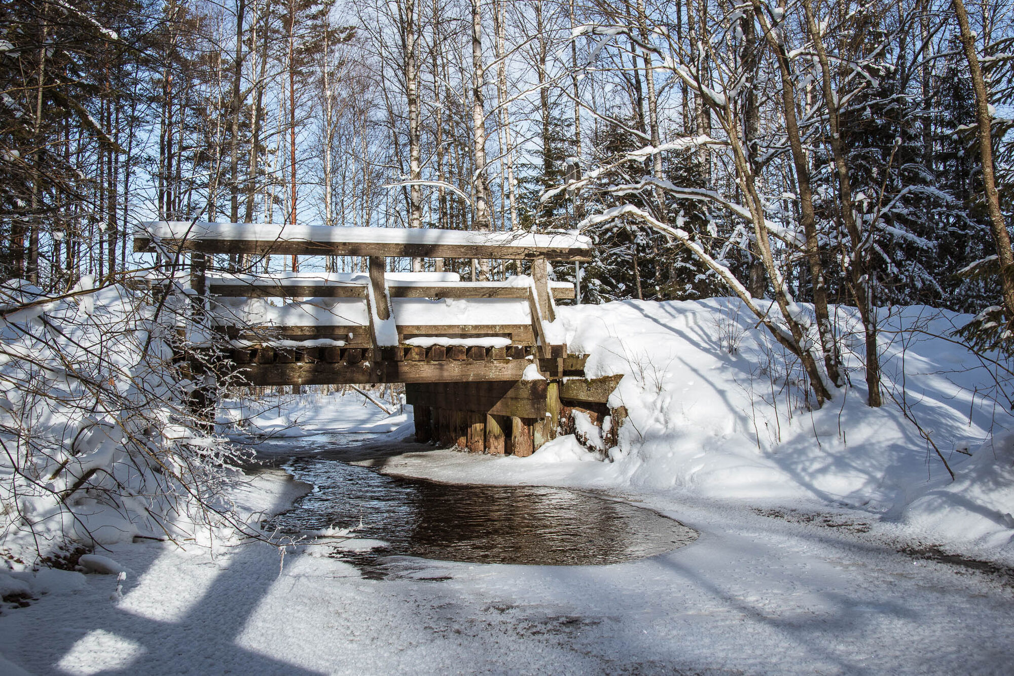

The trail heads to the north along Ilvesreitti (Lynx Trail) through the campsite of Pitkänniemenkangas, where the trail continues along the western side of Lake Pitkänniemenjärvi towards a lean-to shelter in the north, which is a good place for a little pause. From the lean-to shelter, the trail continues along a road for a while, until it joins a forest path and passes the former Fisheries Research Institute. The route then continues along a road, crossing over the slightly bigger Talvilammentie Road. From Pukkivuorentie Road, the trail turns west along a path towards the shore of Lake Rahtijärvi, and continues as particularly rocky along the shore between Lake Rahtijärvi and Lake Savijärvi. It passes the old ironworks, of which only a few foundation stones remain to our days. From the ironworks, the route continues along the shore of Lake Savijärvi, turning into a narrow strip between the shore and a steep cliff, and sometimes leading deeper into the forest. Halfway through the route, the Sorsakolu lean-to shelter is located at the very nothernmost tip of Lake Savijärvi. From there, it is possible to continue along the Evo route or lengthen the hike by heading towards Ilves-reitistö (Lynx Trails) in Padasjoki and Asikkala. From Sorsakolu, the route continues back towards the Evo HAMK parking lot, going around Lake Savijärvi and returning to the same path between Savijärvi and Rahtijärvi. After passing the former Fisheries Research Institute, the route climbs up Peikkovuoren harju (the Goblin Ridge) and runs from there to the Syrjänalunen lean-to shelter, passing by Hautjärvi Grove and Karvalammi Spring (where you can fill your water bottles) along the way. From Syrjänalunen, the trail continues towards the Evo HAMK parking lot mostly along a skiing path.
The trail takes approximately 6 hours. The path is difficult in places, rocky or wet, and you should be careful in the challenging areas. It is a good idea to wear waterproof shoes along the route. Otherwise, regular outdoor equipment suffices, taking into account the weather. It is also a good idea to pack some snacks for breaks.
In Finland we use only one emergency number, 112. The same emergency number 112 works in all EU countries. You can call the emergency number 112 free of charge from any phone with no need for an area code. You can also call 112 from a foreign mobile phone connection. You still won’t need an area code, just dial 112.
The trails start from the Evo HAMK parking lot, which can be accessed from the main road number 53 by following the signs to Evo or Häme University of Applied Sciences. There is plenty of parking space in the area. The trail’s starting point is approximately 20 kilometres towards Padasjoki from Shopping Centre Tuulonen, and approximately 25 km from Padasjoki towards Tuulonen.
There are markings of Ilvesreitti (Lynx Trail) along the route. The trail is also easy to follow using the DigiTrail app (for Android).
Beliebte Touren in der Nähe
Aurinko-Ilves-Wanderweg, Asikkala
mittelFernwanderweg 30,6 kmPäijänne-Ilves, Padasjoki
mittelWanderung 12,9 kmVesijärvi-Rundfahrt mit dem Motorrad, Lahti
Motorrad 79,3 kmPikkujärviseikkailu, Padasjoki
mittelKajak / Kanu 9,11 kmNaturpfad Iso-Äiniö, Asikkala
leichtThemenweg 0,77 kmSavottapolku, Padasjoki
mittelThemenweg 4,39 kmPäijänne-Ilves MTB, Padasjoki
mittelMountainbike 12,7 kmAurinko-Ilves MTB, Asikkala
mittelMountainbike 30,5 kmEvo, Evo Centre trail, easy
leichtWanderung 3,83 kmA route around Lake Vesijärvi 80km
mittelRennrad 82,0 km
Wandern & Tracking


Verpasse keine Angebote und Inspirationen für deinen nächsten Urlaub
Deine E-Mail-Adresse wurde in den Verteiler eingetragen.





