


Hämeenlinna, Aulanko trail, intermediate
The intermediate (appr. 5,8 km), red trail follows the borders of Aulanko Nature Reserve. The route starts from the Aulanko Outdoor Recreation Centre and runs along the shore of Lake Aulangonjärvi to Karhuluola...
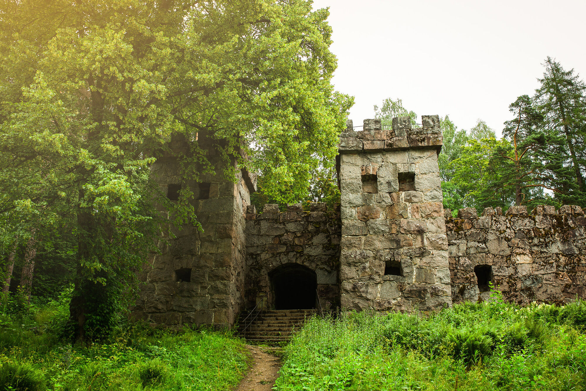
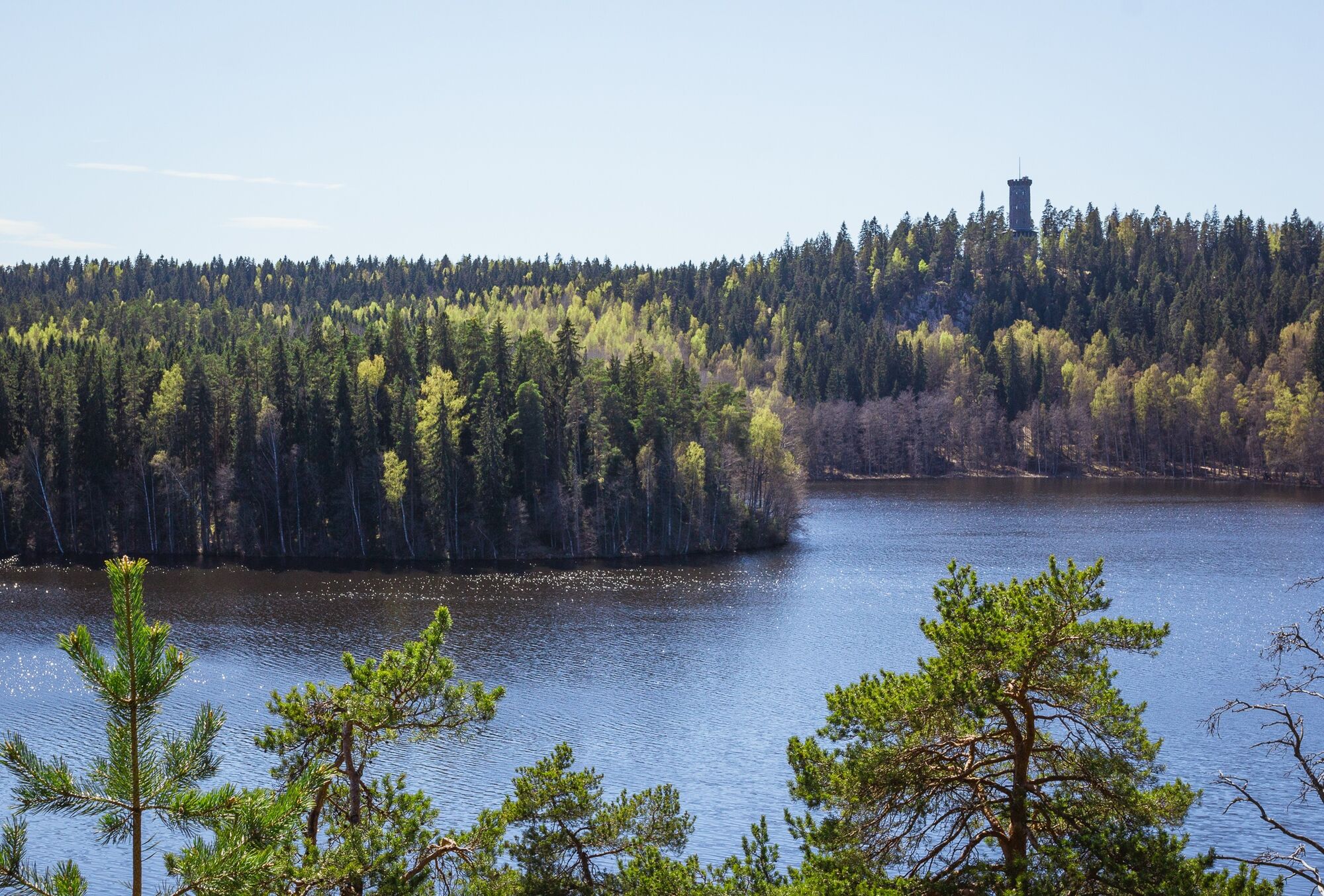
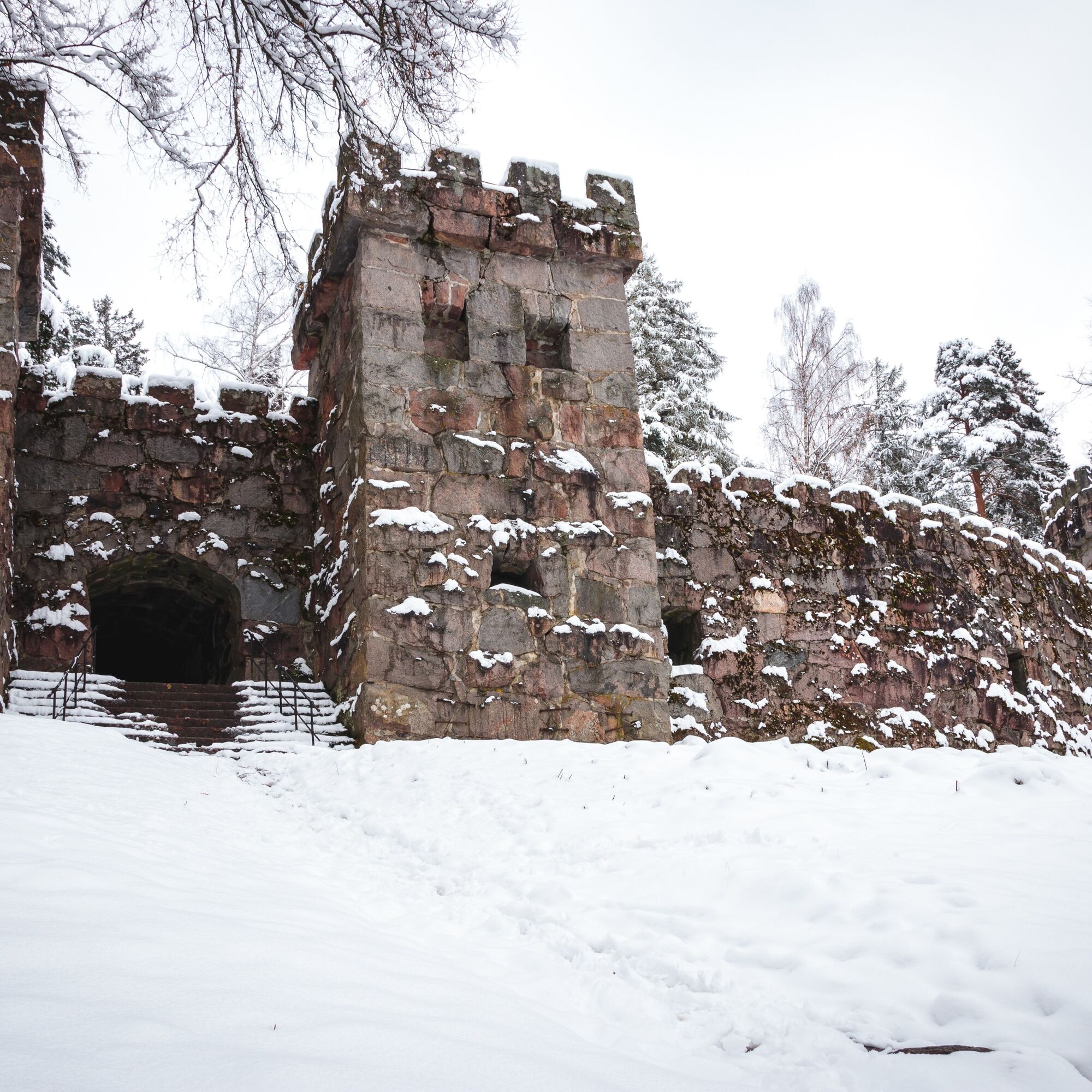
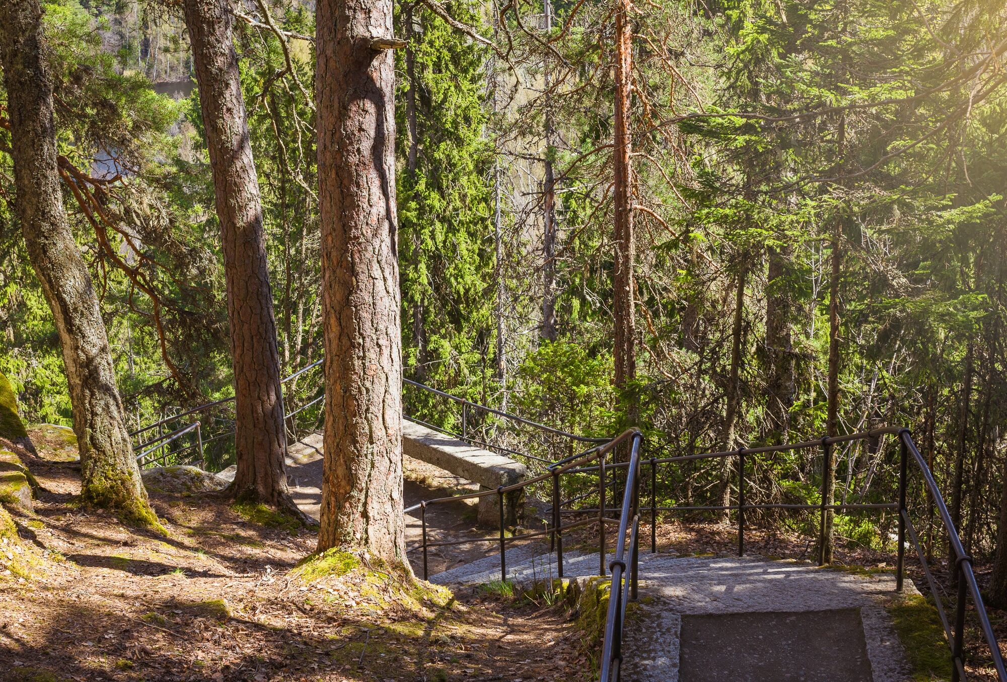
The intermediate (appr. 5,8 km), red trail follows the borders of Aulanko Nature Reserve. The route starts from the Aulanko Outdoor Recreation Centre and runs along the shore of Lake Aulangonjärvi to Karhuluola (Bear Cave). A steep staircase consisting of 322 stone steps rises from Karhuluola to the Aulanko Lookout Tower, where you can climb to admire the landscapes. From Karhuluola (Bear Cave), the trail continues slightly forward and turns to the right, continuing uphill towards the old gunpowder magazine. From the gunpowder magazine, the trail continues towards Aulangontie Road and all the way to a granite castle. After the granite castle, the trail continues to Lake Joutsenlampi (Swan Pond) in Aulanko. A small kiosk by the Lake Joutsenlampi car park is open for visitors in the summer. From Lake Joutsenlampi (Swan Pond), the trail continues to the Rose Valley Pavilion by Lake Metsälampi (Forest Pond), returning back to the starting point at the Aulanko Outdoor Recreation Centre.
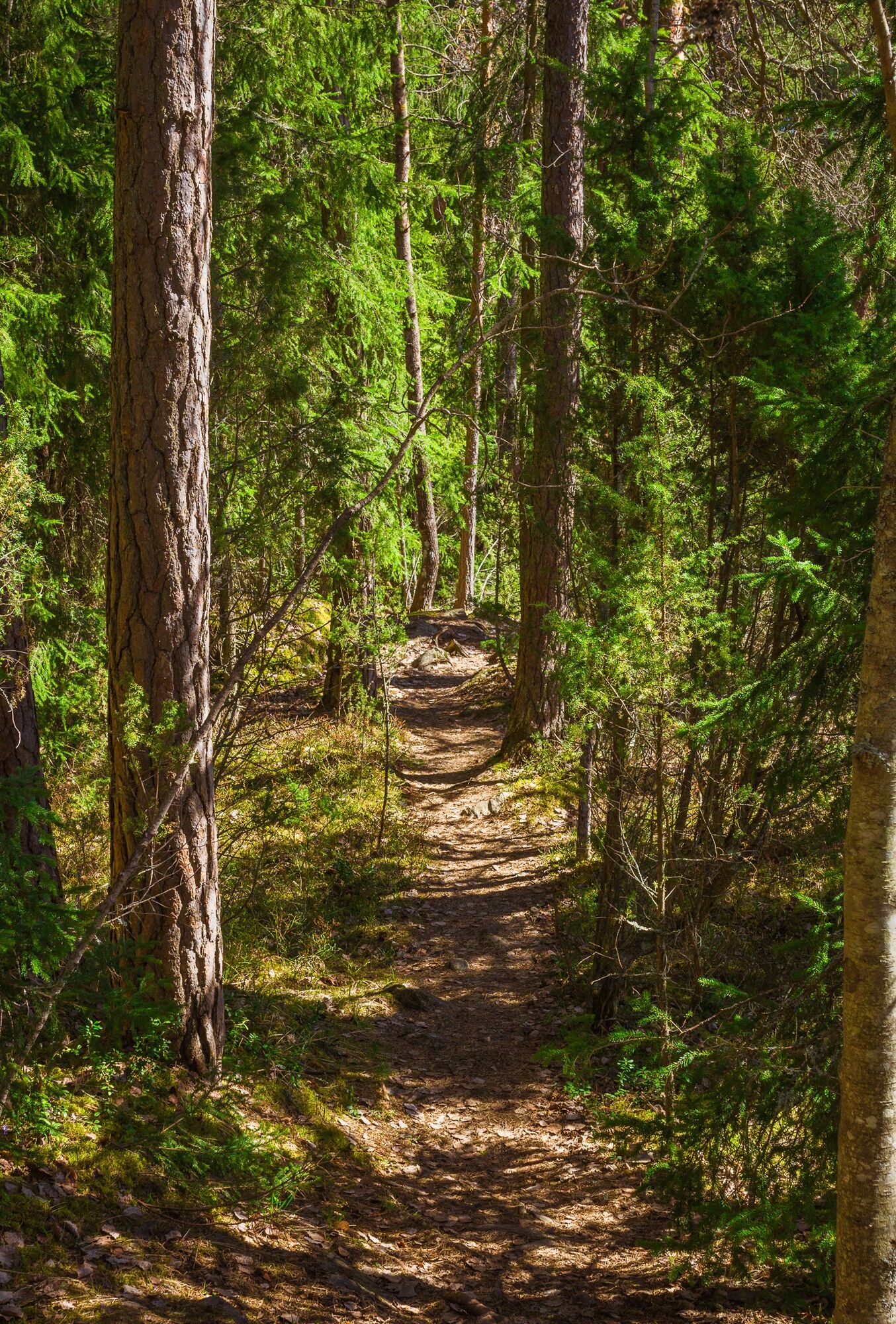
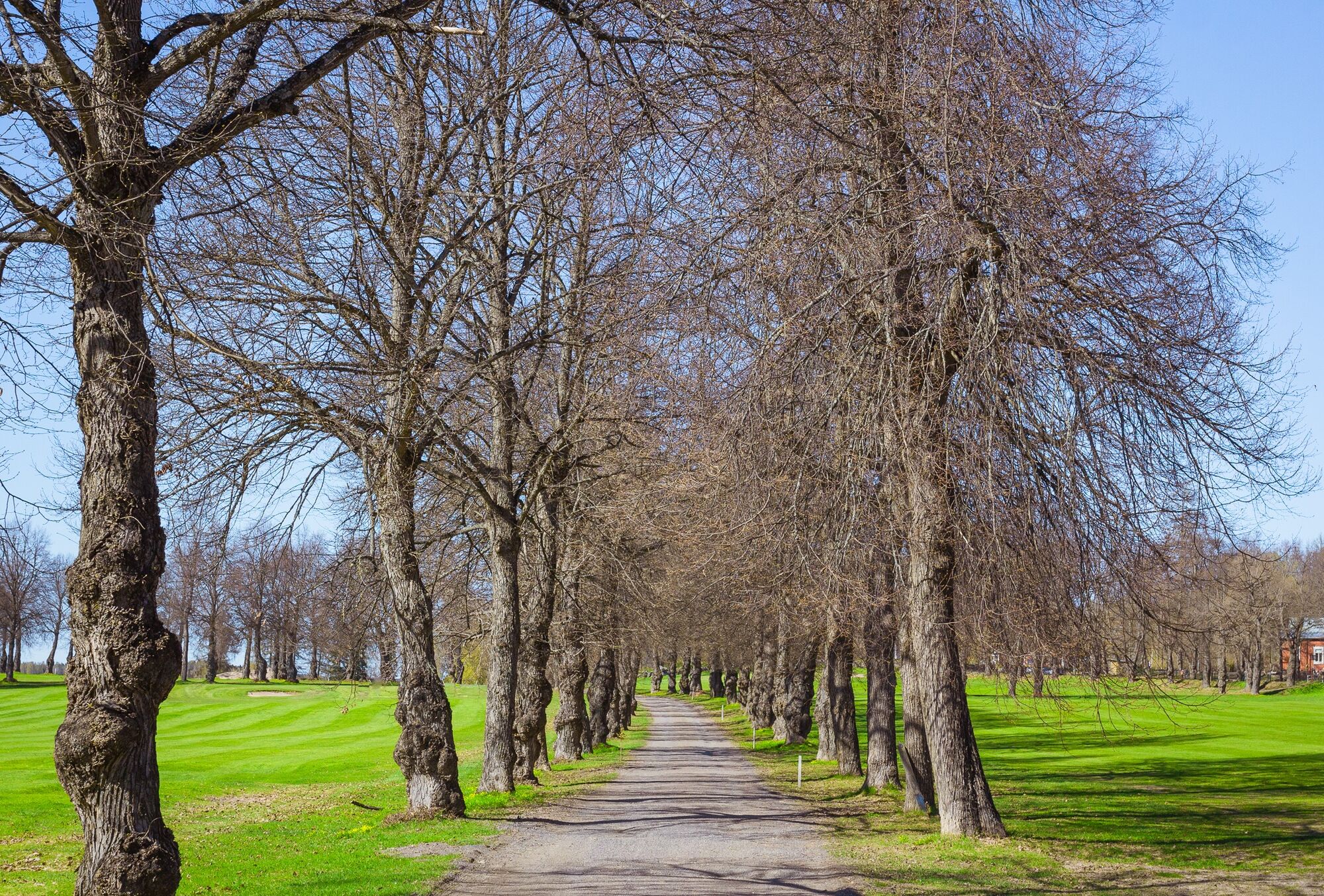
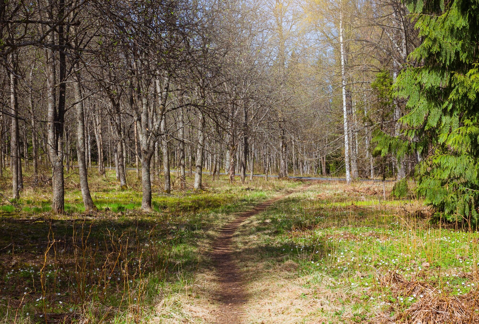
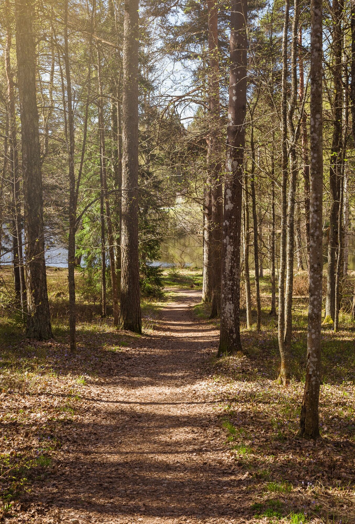
The intermediate trail takes approximately 1.5 hours. The trail mostly follows a gravel path, and does not have any particularly difficult areas. The trail’s southern part consists of an uncoated forest path, which can be muddy or slippery in the rain. In this case, waterproof footwear is useful. Regular outdoor equipment is ideal for the trail. There are various places for resting along the trail, such as benches and pavilions. Winter boots with a good grip are recommended for the trail in the winter.
In Finland we use only one emergency number, 112. The same emergency number 112 works in all EU countries. You can call the emergency number 112 free of charge from any phone with no need for an area code. You can also call 112 from a foreign mobile phone connection. You still won’t need an area code, just dial 112.
The route starts from the Aulanko Outdoor Recreation Centre, which has plenty of free parking space. Aulanko is signposted from the Helsinki–Tampere highway (highway 3) and from the Turku–Lahti road (highway 10). The distance between Hämeenlinna Railway Station and the Outdoor Recreation Centre is 5,3 km by car (taxi rank in front of railway station) and 4,7 km on foot. An internal bus (line number 2) also runs to Hotel Aulanko from the railway station. Hotel Aulanko is located approximately 1.5 km from the trail’s starting point, the Aulanko Outdoor Recreation Centre.
You can take a bus or a train to Hämeenlinna, check out the timetables and buy a ticket:
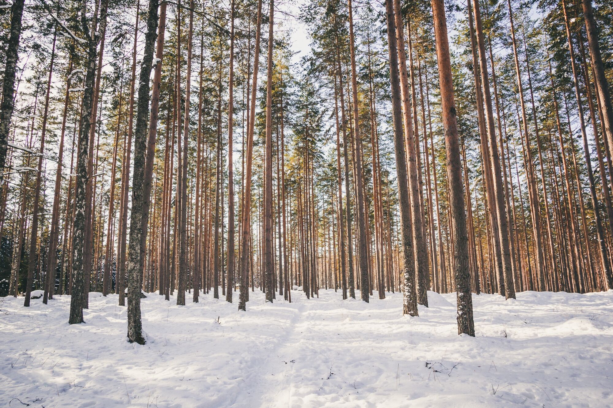
he trail is mostly lit; only the section from the gunpowder magazine to the granite castle does not have lights.â¯The first part of the trail runs through a moist spruce forest, which turns into a pine forest after the gunpowder magazine. The trail can be easily tailored to the visitor’s wishes. For example, the Aulanko Lookout Tower can be accessed directly from Karhuluola (Bear Cave) along steep stone stairs. Please note that the steps may be very slippery when it rains and during the winter. The lookout tower is free of charge and open daily in the summer from 8 to 19. It is easy to stop by the hotel area from the granite castle and access its services.
There are no route markings along the trail, but the path is easy to follow with the DigiTrail app (for Android).
Beliebte Touren in der Nähe
Winterradweg, Hattula
mittelMountainbike 13,6 kmWanderweg um den Aulangonjärvi 6 km
mittelThemenweg 5,93 kmHämeen Ilvesreitti Hattula 37,7 km
mittelMountainbike 37,6 kmPikku-Ilves-Weg Hattula
mittelWanderung 2,09 kmWander- und Trekkingroute Hämeen Ilvesreit Hattula
schwerWanderung 34,7 kmErzähluweg
leichtThemenweg 0,60 kmMountainbike-Strecke Aulanko
mittelMountainbike 13,8 kmVanamaha Wanderweg, Hattula
leichtWanderung 26,8 kmJaakon rantapolku vaativa esteetön reitti
leichtThemenweg 0,68 kmPikku-Sisu-Runde 12 km
leichtRadfahren 12,1 km
Wandern & Tracking


Verpasse keine Angebote und Inspirationen für deinen nächsten Urlaub
Deine E-Mail-Adresse wurde in den Verteiler eingetragen.