Cividale del Friuli - Monte Nachnoi / Nagnoj - Monte Caludranza - Faedis
schwer
Navigieren
Navigieren
Hol diese Tour auf dein Handy
Cividale del Friuli - Monte Nachnoi / Nagnoj - Monte Caludranza - Faedis
schwer
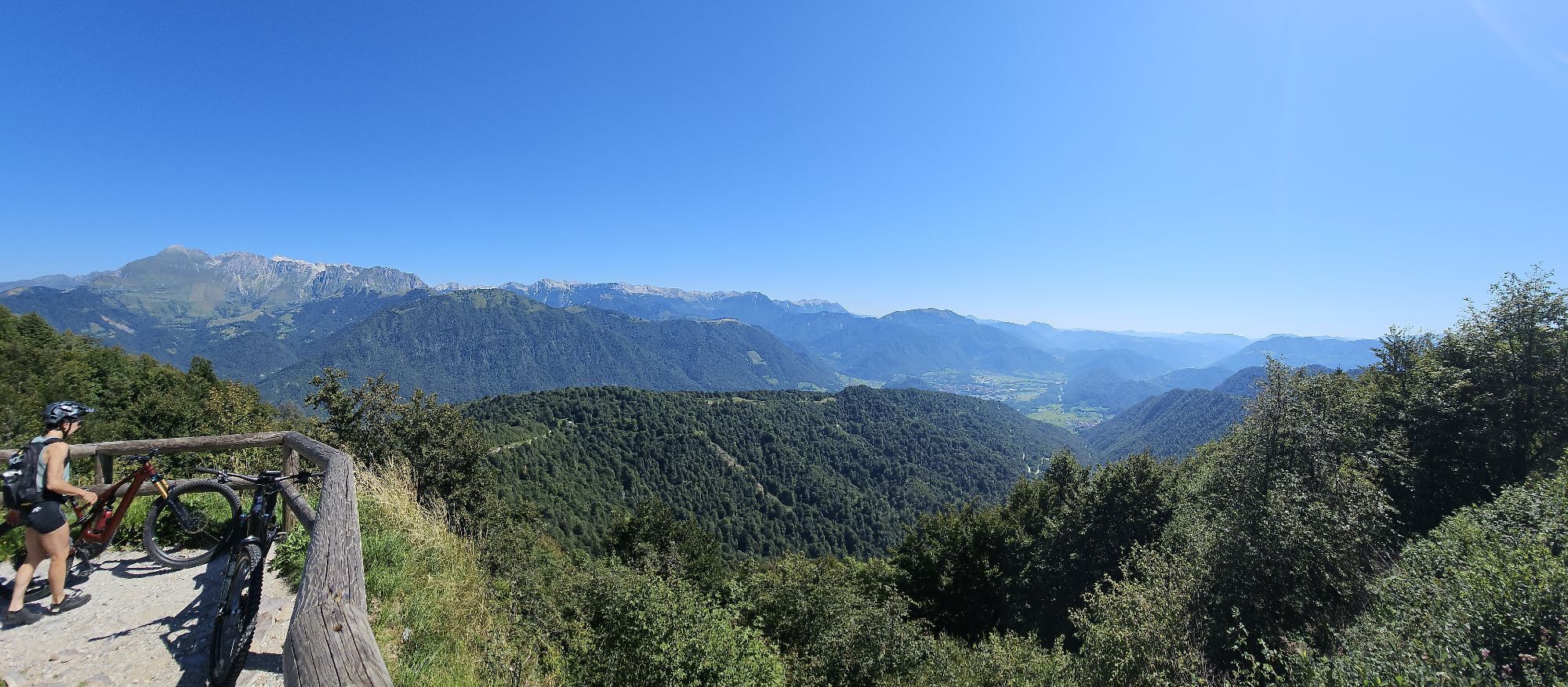
Rennrad
85,36
km
QR-Code scannen und Navigation in der bergfex App beginnen

Wandern & Tracking


Cividale del Friuli - Monte Nachnoi / Nagnoj - Monte Caludranza - Faedis
schwer
Distanz
85,36
km
Dauer
05:20
h
Aufstieg
2.624
hm
Seehöhe
130 -
1.154
m
Track-Download
Cividale del Friuli - Monte Nachnoi / Nagnoj - Monte Caludranza - Faedis
schwer
Rennrad
85,36
km
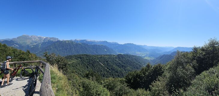
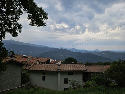
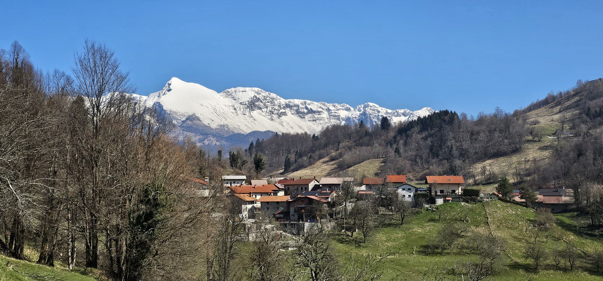
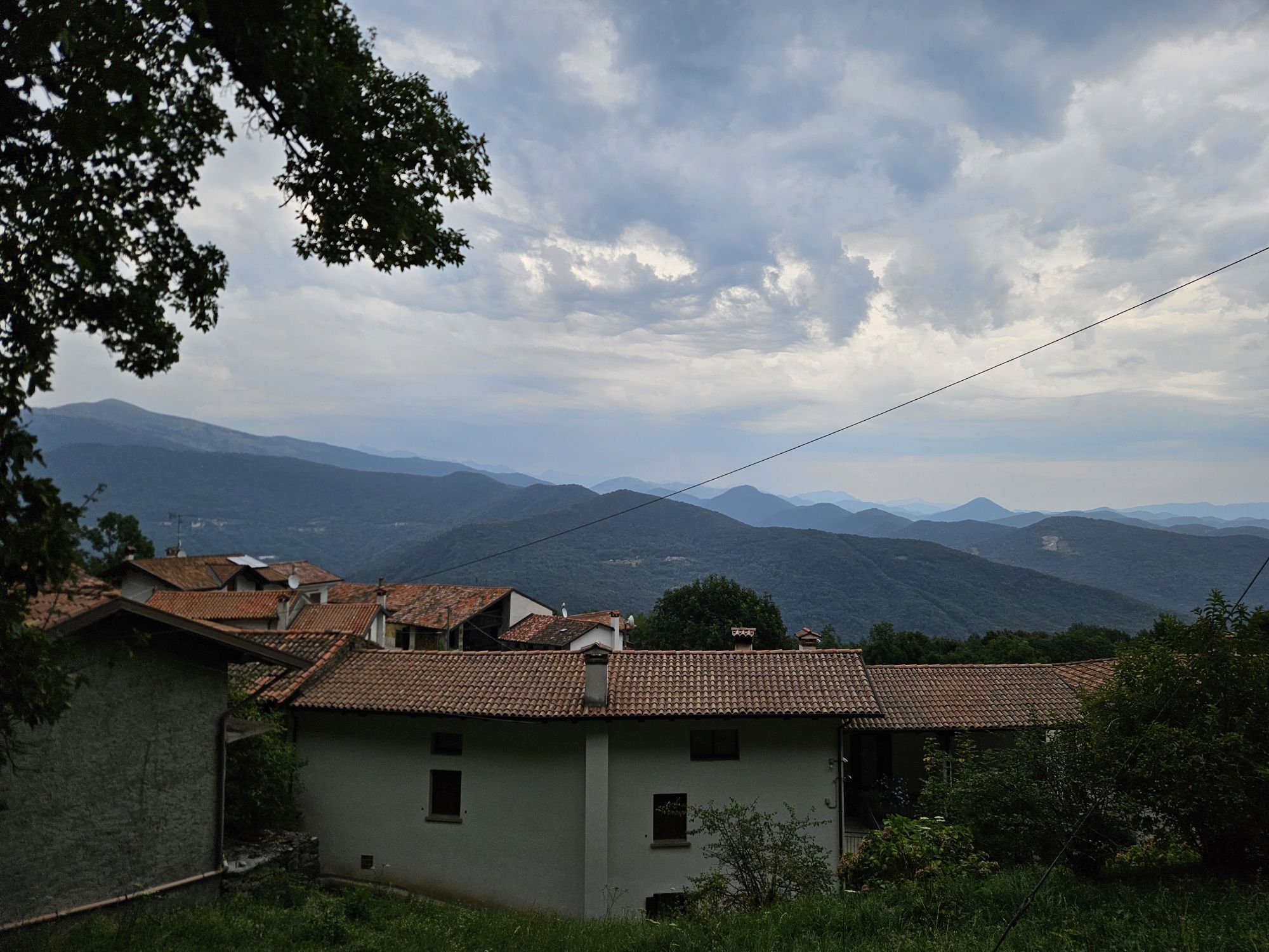
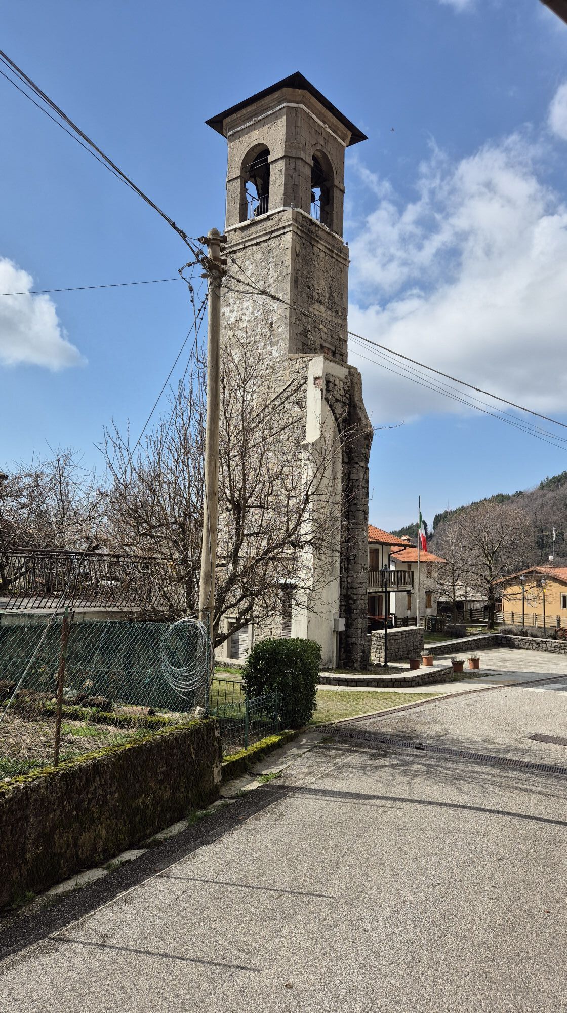
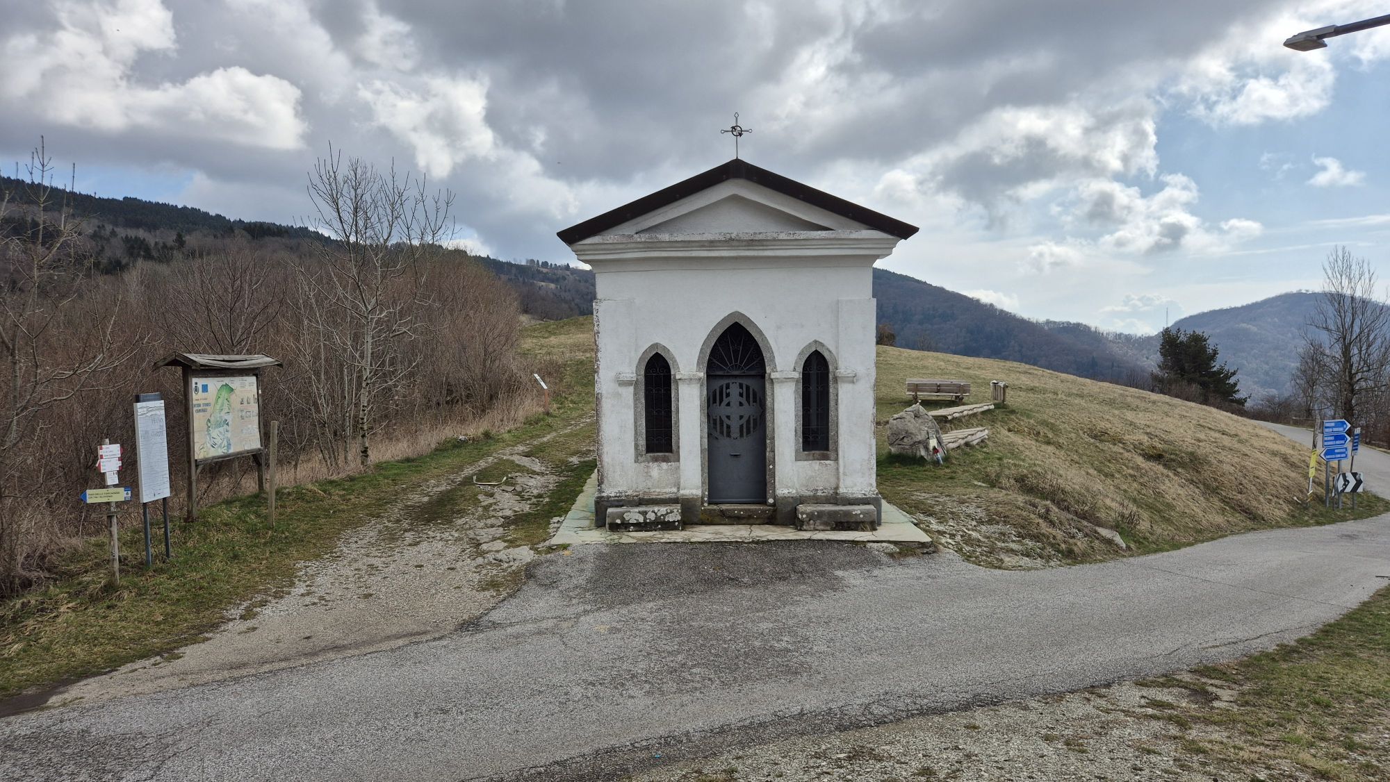
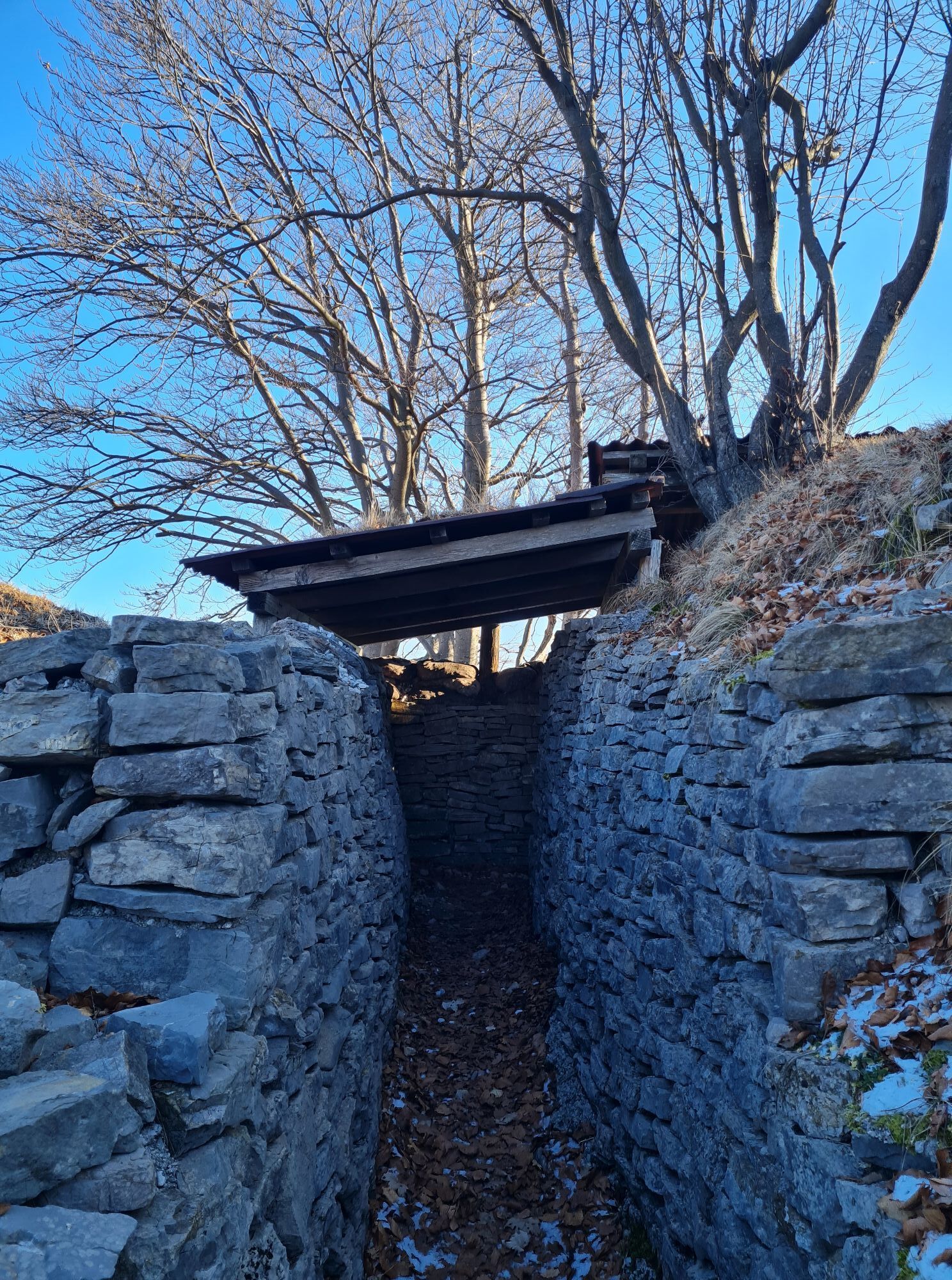
Fotos unserer User
-

 © NicoErstellt am 09.08.2025
 -
 © NicoErstellt am 09.08.2025
 -
 © Cornelia EggerErstellt am 08.08.2025
 -
 © Gianberto ZilliErstellt am 23.07.2025
 -
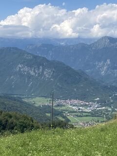 © Gianberto ZilliErstellt am 23.07.2025
 -
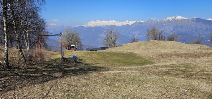 © NicoErstellt am 20.03.2025
 -
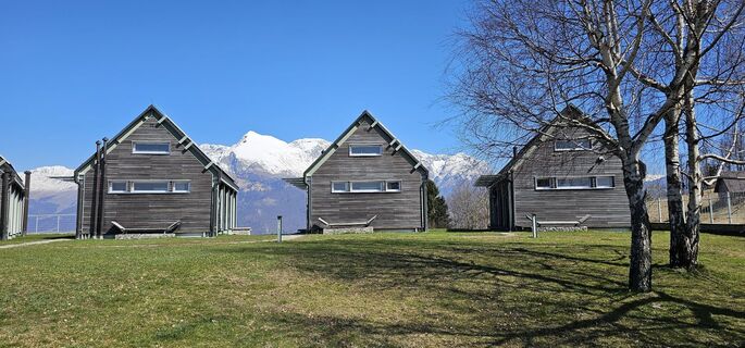 © NicoErstellt am 20.03.2025
 -
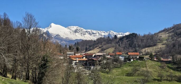 © NicoErstellt am 20.03.2025
 -
 © Samuele PercovichErstellt am 05.09.2024
 -
 © Fabrizio PlesnizerErstellt am 13.03.2026
 -
 © Fabrizio PlesnizerErstellt am 13.03.2026
 -
 © Astrid TomadaErstellt am 08.02.2025
 -
 © Astrid TomadaErstellt am 08.02.2025


Wegverlauf
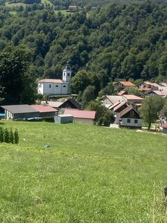
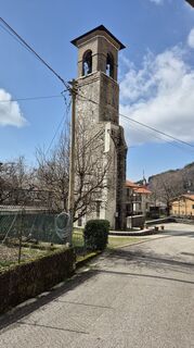
Chiesa di San Giorgio Martire
(145 m)
Andachtsstätte
2,8 km
Cemur / Čemur
(148 m)
Siedlung
7,4 km
Solarji
(952 m)
Bergsattel
32,9 km
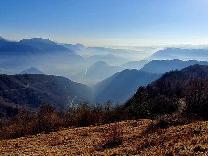
Monte Nachnoi / Nagnoj
(1.193 m)
Gipfel
36,4 km
Chiesa di San Pietro Apostolo
(173 m)
Andachtsstätte
56,8 km
Monte Caludranza
(974 m)
Gipfel
73,2 km
Stremiz / Garmovščica
(310 m)
Dorf
80,4 km
Wegverlauf
Cividale del Friuli - Monte Nachnoi / Nagnoj - Monte Caludranza - Faedis
schwer
Rennrad
85,36
km
Östrich
(134 m)
Stadt
0,0 km
Borgo San Domenico
(134 m)
Stadtviertel
0,4 km
Barbetta
(131 m)
Stadtviertel
0,9 km
Sanguarzo
(145 m)
Dorf
2,8 km
Frasca da Gianni
(144 m)
Restaurant
2,8 km
Birreria Pizzeria da Vincenzo
(144 m)
Restaurant
2,8 km
Chiesa di San Giorgio Martire
(145 m)
Andachtsstätte
2,8 km
Trattoria al Giro di Boa
(139 m)
Restaurant
4,5 km
Ponte San Quirino / Muost
(131 m)
Siedlung
4,5 km
Trattoria Pizzeria Le Valli
(149 m)
Restaurant
4,7 km
Azzida / Ažla
(165 m)
Dorf
6,2 km
Merso di Sotto / Dolenja Miersa
(152 m)
Siedlung
6,8 km
Cemur / Čemur
(148 m)
Siedlung
7,4 km
Scrutto / Škrutove
(162 m)
Siedlung
8,6 km
Merso di Sopra / Gorenja Miersa
(174 m)
Siedlung
9,3 km
San Leonardo / Podutana
(171 m)
Dorf
9,7 km
Picig / Pičič
(195 m)
Siedlung
11,6 km
Zamir / Zamier
(206 m)
Siedlung
12,2 km
Postregna / Podsriednje
(297 m)
Siedlung
13,4 km
Stregna / Sriednje
(397 m)
Dorf
14,7 km
Cernetig / Černeče
(502 m)
Siedlung
15,4 km
Tribil Inferiore / Dolenji Tarbij
(583 m)
Siedlung
17,0 km
Urataca
(575 m)
Siedlung
18,8 km
Varch / Varh
(582 m)
Siedlung
19,2 km
Gnidovizza / Gnjiduca
(595 m)
Siedlung
21,5 km
Polizza / Polica
(567 m)
Siedlung
22,0 km
Tribil Superiore / Gorenji Tarbij
(623 m)
Siedlung
22,5 km
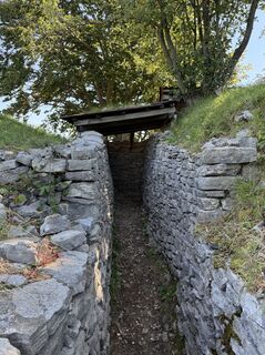
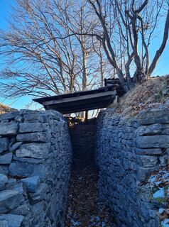
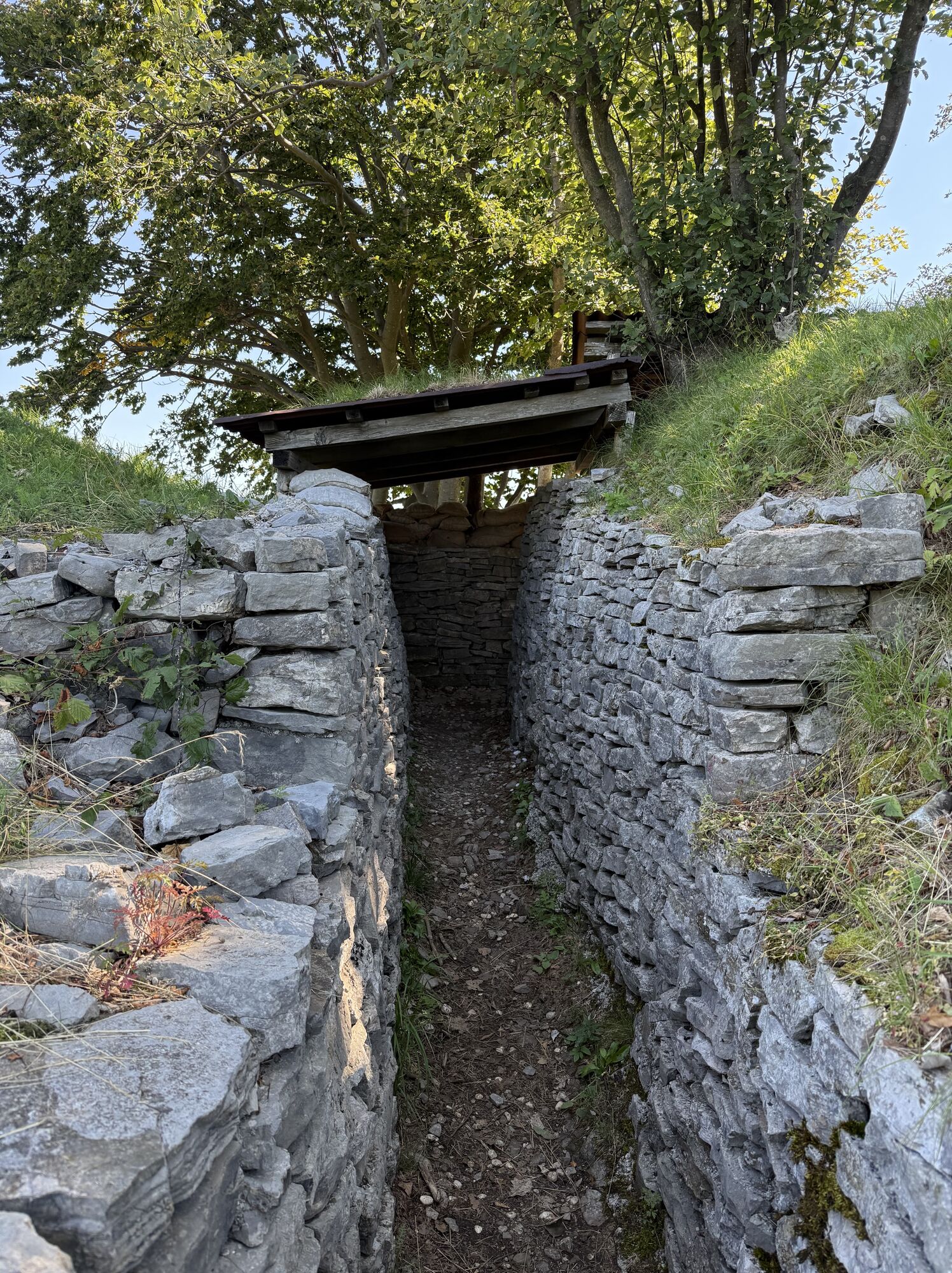
Caverne St Cum
(643 m)
Höhleneingang
24,2 km
Rucchin / Zaločilo
(647 m)
Siedlung
27,0 km
Zavart
(621 m)
Siedlung
27,7 km
San Volfango / Svet Štuoblank
(725 m)
Siedlung
28,2 km
Prapotnizza / Praponca
(737 m)
Siedlung
29,3 km
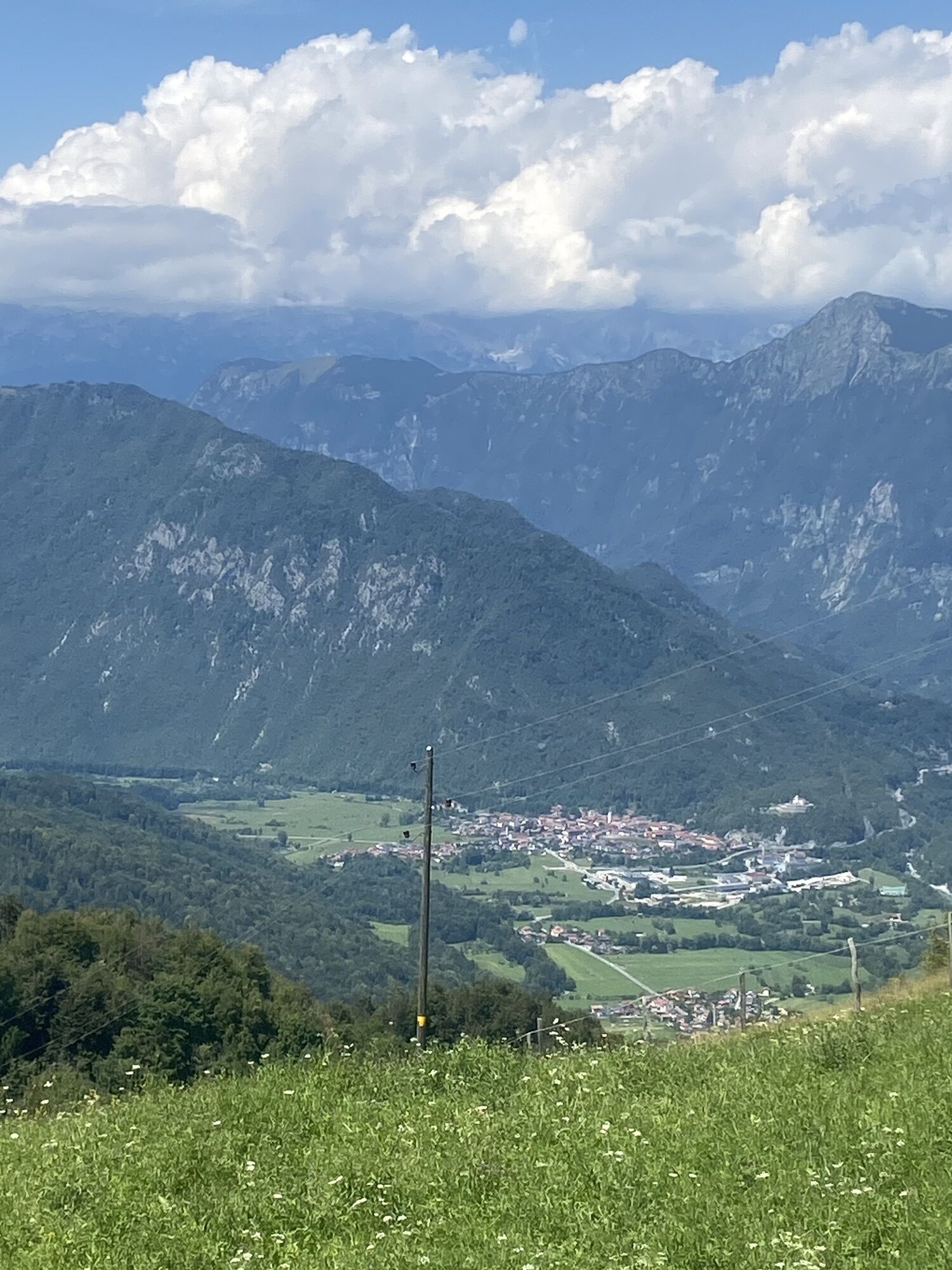
Crai / Kraj
(819 m)
Siedlung
31,2 km
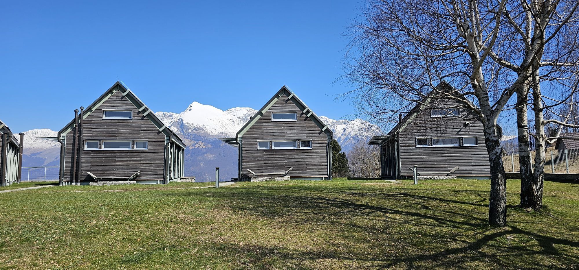
Casoni Solarie
(939 m)
Flur/Gelände
32,1 km
Rifugio Casoni Solarie
(939 m)
Schutzhütte
32,1 km
Solarji
(952 m)
Bergsattel
32,9 km
Trinški vrh / Monte Piatto cima est
(1.138 m)
Gipfel
34,1 km
Monte Piatto cima ovest / Trinški Vrh
(1.138 m)
Gipfel
34,7 km
Monte Nachnoi / Nagnoj
(1.193 m)
Gipfel
36,4 km
Raune
(1.068 m)
Siedlung
37,8 km
Libegg
(689 m)
Dorf
41,7 km
Valico di Polava
(588 m)
Flur/Gelände
43,6 km
Polava
(546 m)
Siedlung
44,7 km
Cepletischis / Čeplešišče
(566 m)
Dorf
45,3 km
Gabrovizza / Gabruca
(497 m)
Siedlung
46,1 km
Crisnaro / Kranjac
(217 m)
Siedlung
50,6 km
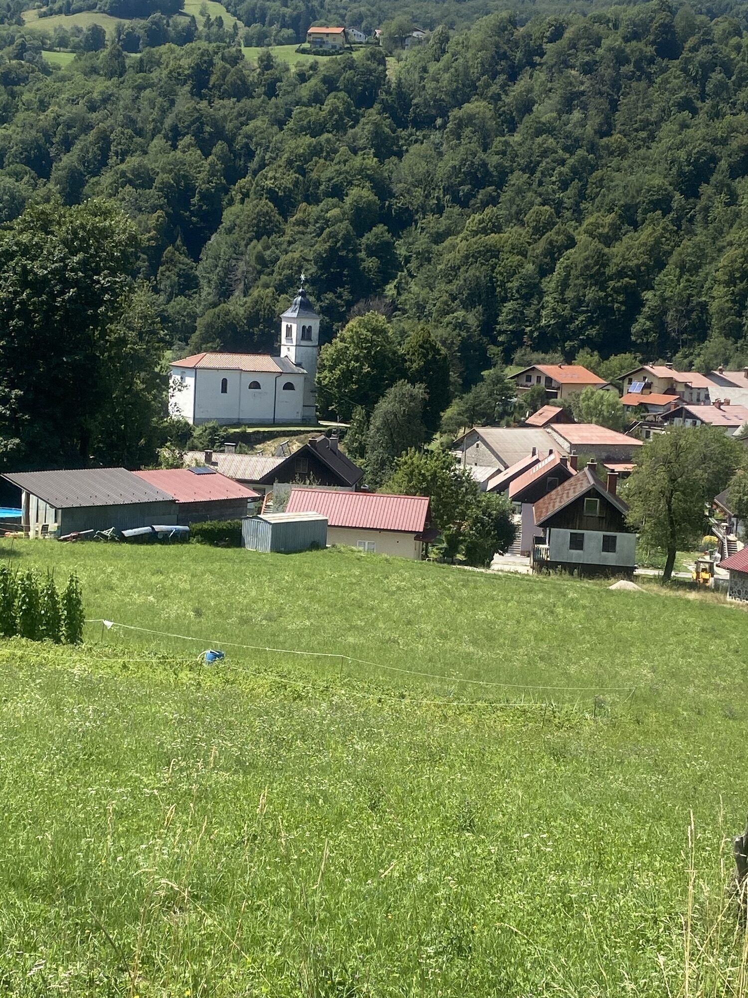
Savogna / Sauodnja
(243 m)
Dorf
51,1 km
Cedron
(193 m)
Siedlung
51,8 km
Cocevaro / Kočebar
(189 m)
Siedlung
52,9 km
Tarpezzo / Tarpeč
(168 m)
Siedlung
54,0 km
Clenia / Klenje
(167 m)
Siedlung
55,4 km
Correda / Koreda
(172 m)
Siedlung
55,6 km
Trattoria Le Querce
(239 m)
Restaurant
56,3 km
Chiesa di San Pietro Apostolo
(173 m)
Andachtsstätte
56,8 km
San Pietro al Natisone / Špiètar
(169 m)
Dorf
56,8 km
Becis / Bečja
(195 m)
Siedlung
57,8 km
Osteria alla Cascina
(194 m)
Restaurant
58,2 km
Sorzento / Sarženta
(189 m)
Siedlung
58,3 km
Ponteacco / Pentjag
(198 m)
Siedlung
59,2 km
Pizzeria 2000
(197 m)
Restaurant
59,8 km
Tiglio / Lipa
(190 m)
Siedlung
60,1 km
Tarcetta / Tarčeta
(212 m)
Siedlung
61,0 km
Antro / Landar
(304 m)
Siedlung
62,4 km
Gastaldia d’Antro
(312 m)
Restaurant
62,5 km
Coliessa / Kolieša
(458 m)
Siedlung
64,1 km
Spignon / Varh
(609 m)
Siedlung
65,1 km
Grotta Turchnaiama
(715 m)
Höhleneingang
69,6 km
Tàmoris / Tamora
(796 m)
Siedlung
71,0 km
Monte Caludranza
(974 m)
Gipfel
73,2 km
Canebola / Čenijebola
(670 m)
Dorf
77,4 km
Stremiz / Garmovščica
(310 m)
Dorf
80,4 km
Gradischiutta / Radišče
(357 m)
Siedlung
81,6 km
Agiturismo Non solo Cicciole
(359 m)
Restaurant
81,6 km
Costapiana / Raune
(390 m)
Siedlung
81,8 km
Cascate Gemelle
(323 m)
Wasserfall
82,7 km
Canal di Grivò
(218 m)
Siedlung
83,1 km
Ristorante La Trota del Grivò
(196 m)
Restaurant
84,0 km
Borgo Scubla
(188 m)
Siedlung
84,4 km
Sant'Anastasia
(181 m)
Siedlung
84,8 km
Borgo San Pietro
(176 m)
Siedlung
85,0 km
Faedis
(164 m)
Dorf
85,3 km
Noch keine Bewertungen
Beliebte Touren in der Nähe
-
4,4
Kozjak Wasserfall und Soča
leichtWanderung 5,18 km -
4,3
Stol Nord
mittelMountainbike 37 km -
3,2
Slap Kozjak (Wasserfall)
leichtWanderung 3,40 km -
4,0
Matajur
mittelMountainbike 24,8 km -
4,0
Kolovrat
mittelMountainbike 33,0 km -
5,0
JULIANA TRAIL - Etappe 12: Tolmin – Kobarid
mittelWanderung 17,3 km -
4,0
Matajur (1642 m) vom Marsin
mittelWanderung 10,2 km -
Rundwanderung um den Monte Kolovrat
leichtWanderung 7,51 km -
5,0
Burgenrundweg von Faedis
leichtWanderung 3,22 km -
JULIANA BIKE - Etappe 4: Bovec - Tolmin
schwerRadfahren 52,9 km

Wandern & Tracking

Über 550.000 Tourenvorschläge, detailliertes Kartenmaterial und ein intuitiver Routenplaner machen die App zum Must-have für alle Naturbegeisterten.

Verpasse keine Angebote und Inspirationen für deinen nächsten Urlaub
Zum Newsletter anmelden
Fehler
Ein Fehler ist aufgetreten. Bitte versuche es erneut.
Vielen Dank für deine Anmeldung
Deine E-Mail-Adresse wurde in den Verteiler eingetragen.
Touren in ganz Europa
Österreich
Schweiz
Deutschland
Italien
Slowenien
Frankreich
Niederlande
Belgien
Polen
Liechtenstein
Tschechien
Slowakei
Spanien
Kroatien
Bosnien und Herzegowina
Luxemburg
Andorra
Portugal
Island
Vereinigtes Königreich
Irland
Griechenland
Albanien
Nordmazedonien
Malta
Norwegen
Montenegro
Moldau
Kosovo
Ungarn
San Marino
Rumänien
Estland
Lettland
Belarus
Zypern
Litauen
Serbien
Bulgarien
Monaco
Dänemark
Schweden
Finnland