


Cammino Di Sant’Antonio | Stage 5 Polcenigo–Sacile
Starting from the main square of Polcenigo, take Via San Giovanni and, after about 600 meters, follow a path to the right that leads to the top of Colle San Floriano, where there is a small church dedicated...
The Rural Park occupies the south side of the hill and is dedicated to biological agriculture. Descending toward the plain, one can visit the naturalistic area of the Livenza River springs with its Palù, where there are traces of Neolithic settlements. The distance is 5.3 km.
The Path continues by taking the Marcite path, passing through watery places. After km 9, the road becomes completely paved, here you follow the arrows of the Cammino until you reach Via Sacile. At km 14.2, you leave via Sacile for a secondary road that leads to the church of Sant'Antonio Abate at km 15.1.
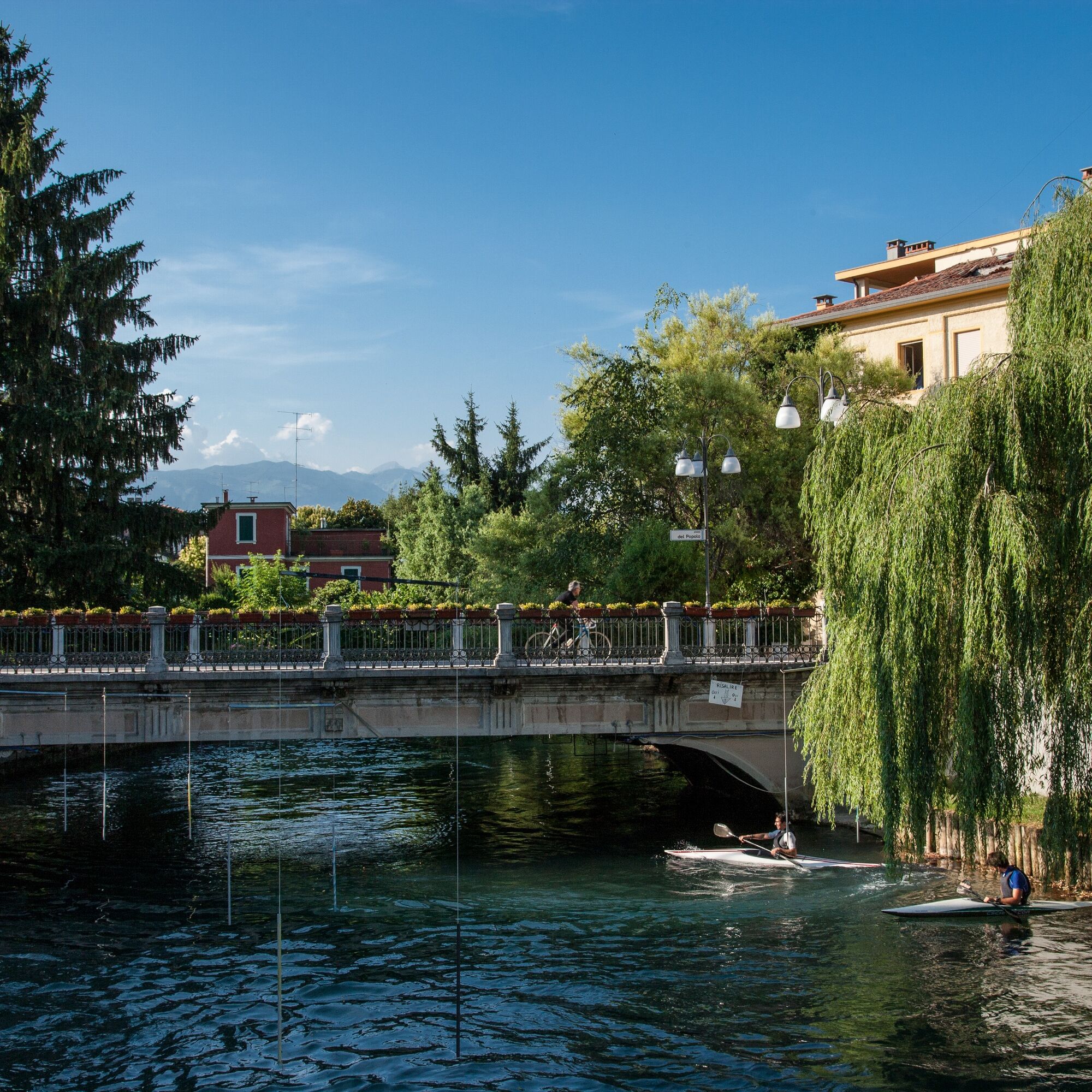
Now nearing Sacile, the city dear to the Venetians, we enjoy the beauty of the place, ending a short but intense stage.
For stamping, please contact the IAT office.
Translated with DeepL.com (free version)

Beliebte Touren in der Nähe
- 4,0
Palantina, Colombera und Tremol - 3 Gipfel oberhalb von Piancavallo
schwerWanderung 8,70 km - 5,0
Anstieg des Giro d'Italia Aviano - Piancavallo (P002)
schwerRennrad 13,9 km Runde der Malghe di Collalto
mittelWanderung 8,67 kmRundweg Casera Valle Friz und Hütte Arneri zwischen Karstdolinen und prächtigen Blüten
mittelWanderung 11,7 kmPian del Cansiglio: Passeggiata nei dintorni di Vallorch
leichtWanderung 6,60 km- 3,0
Rundweg der Malghe und Forcella di Giais
mittelWanderung 12,5 km Rundkurs Sacile und Pordenone (R001)
mittelFernradweg 33,5 kmSacile - Maniago (C301)
leichtFernradweg 44,1 kmCasera Montelonga
schwerWanderung 21,6 kmRundweg entlang des Sentiero Gerometta und Col Cornier
mittelWanderung 10,4 km
Wandern & Tracking


Verpasse keine Angebote und Inspirationen für deinen nächsten Urlaub
Deine E-Mail-Adresse wurde in den Verteiler eingetragen.