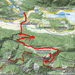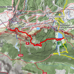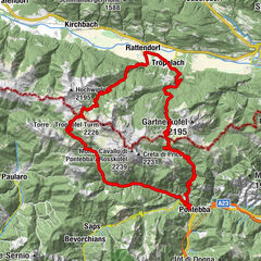


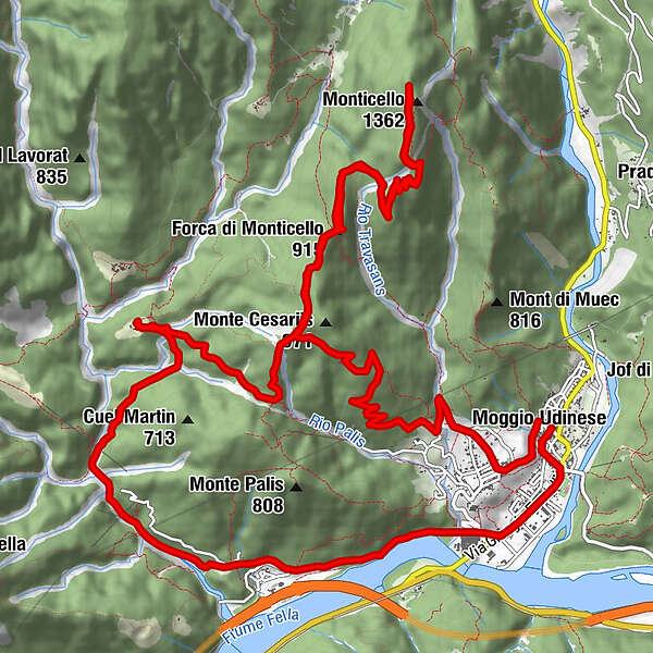
Tourdaten
23,6km
290
- 1.329m
1.227hm
1.224hm
03:41h
- Kurzbeschreibung
-
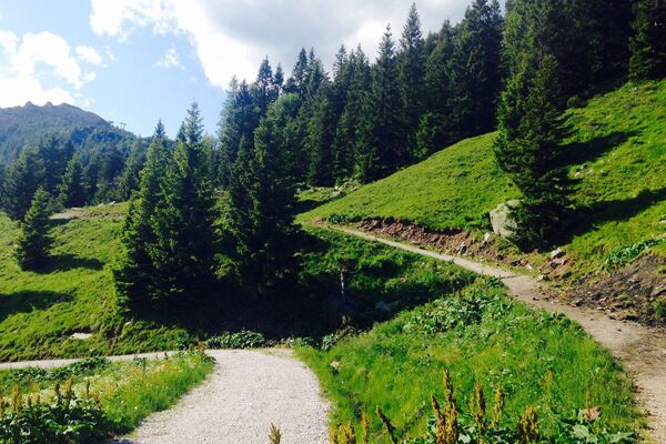
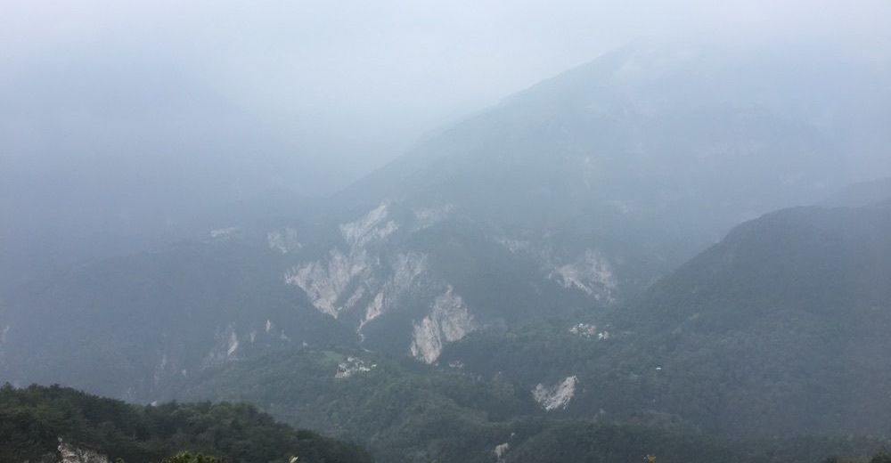
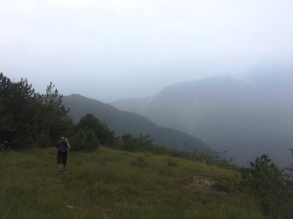
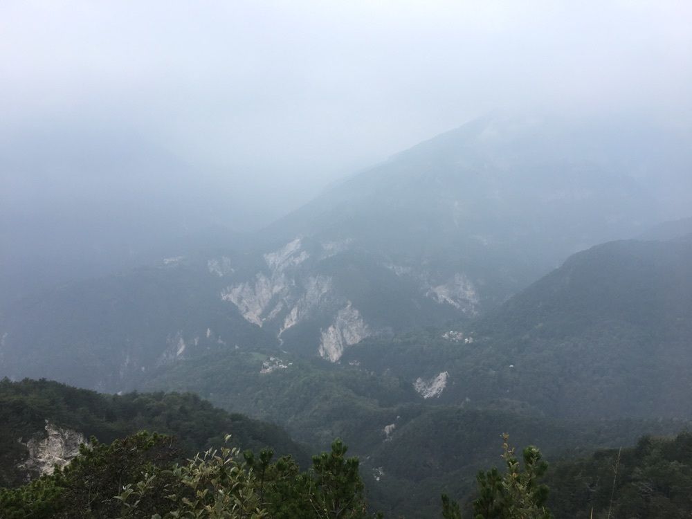
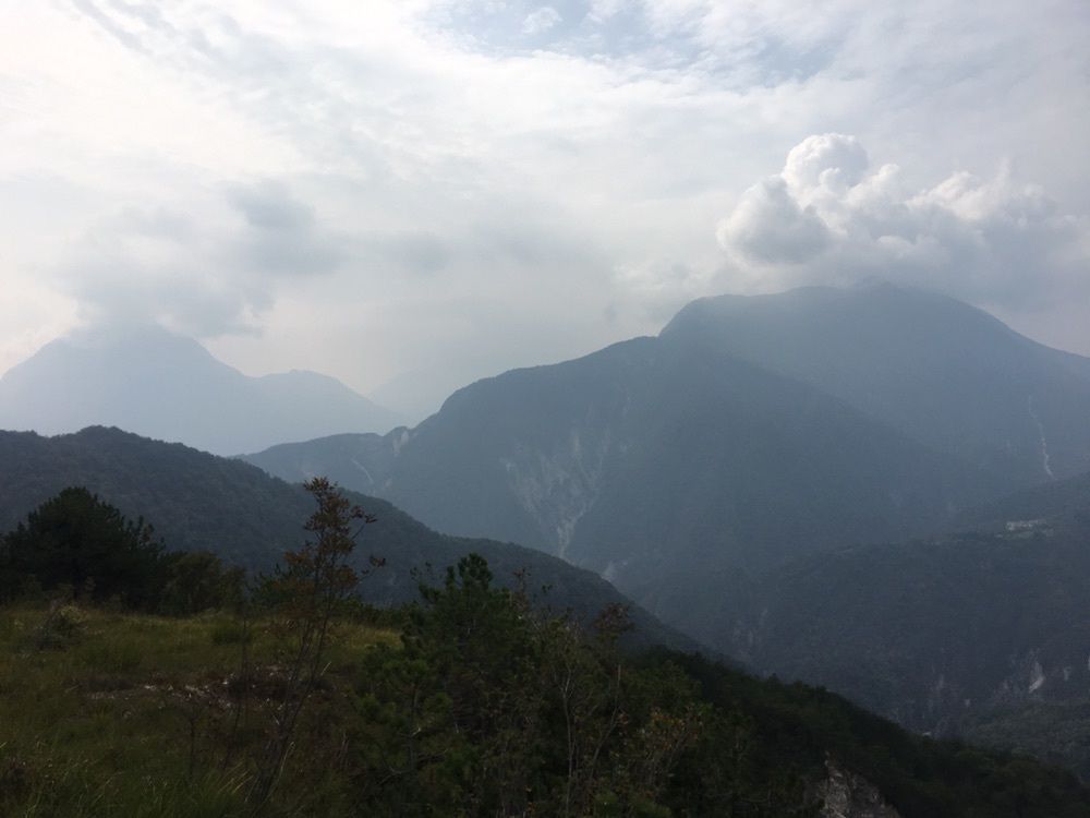
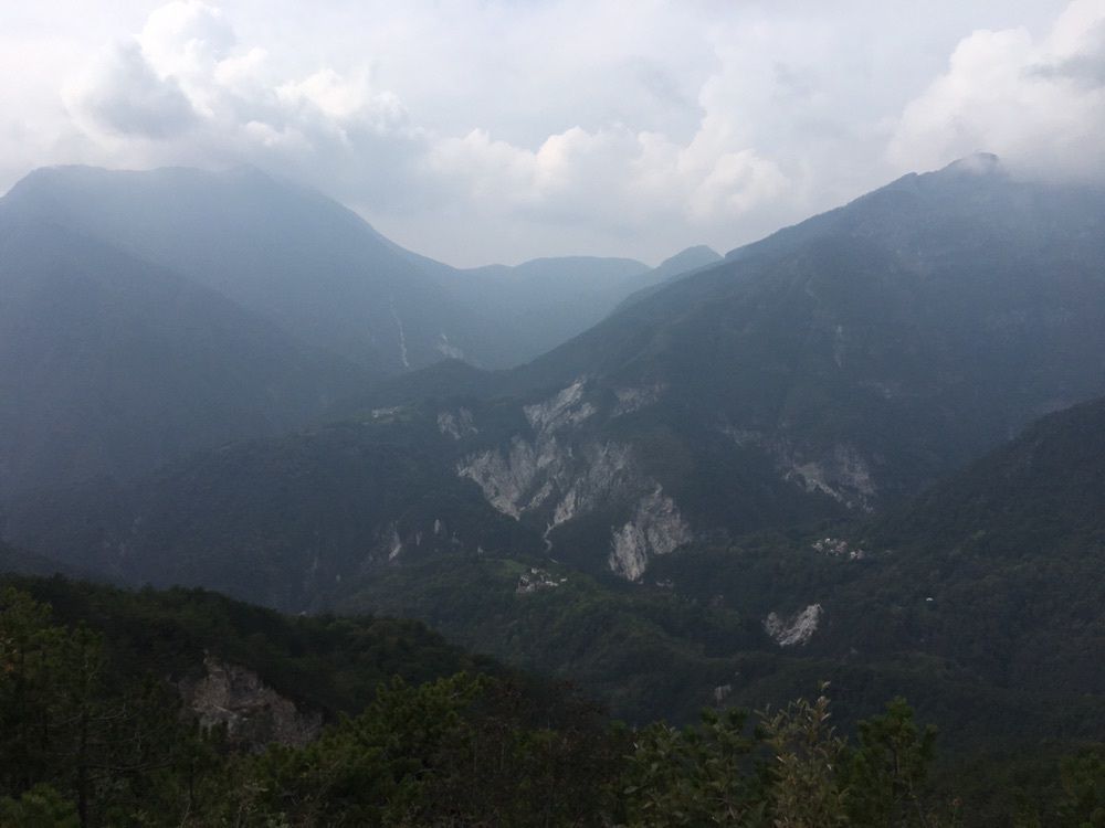
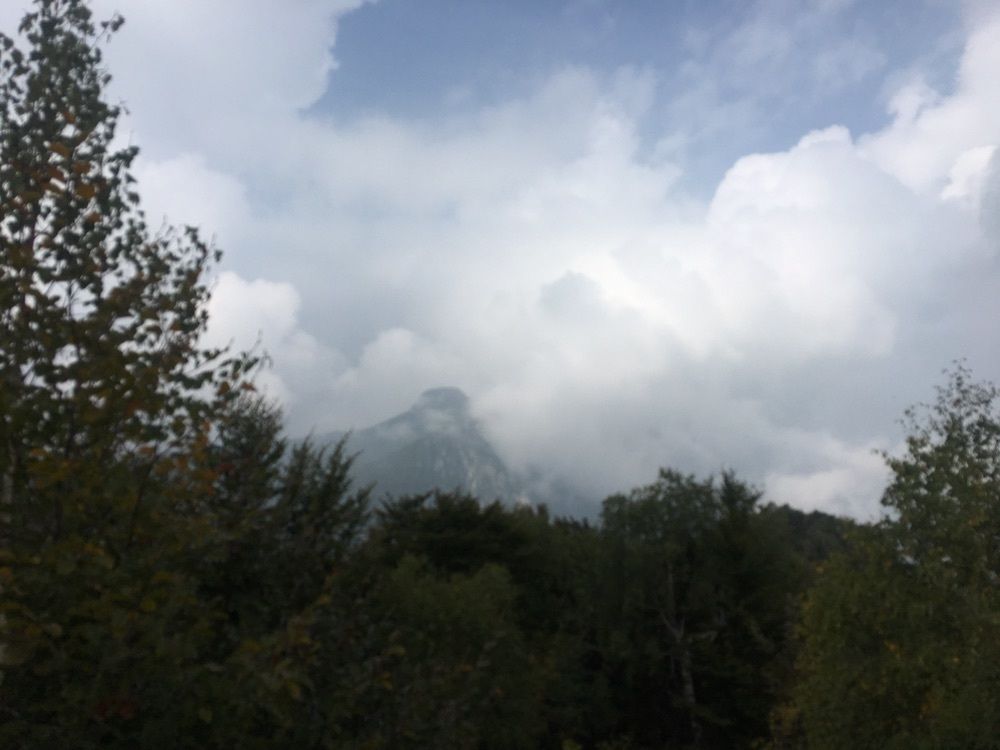
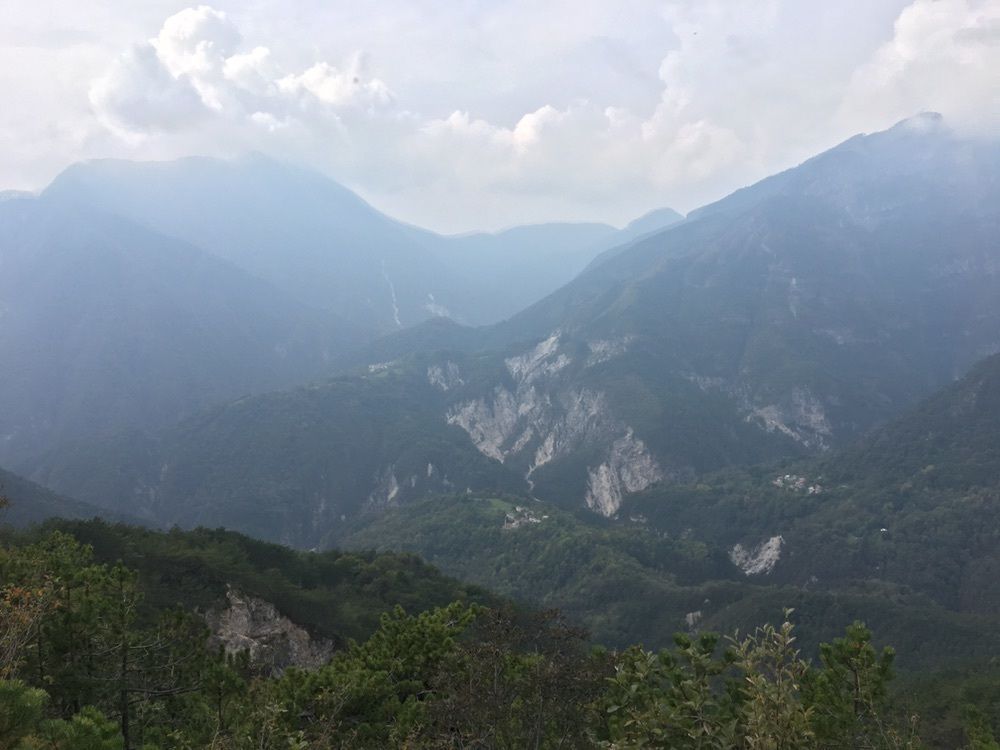
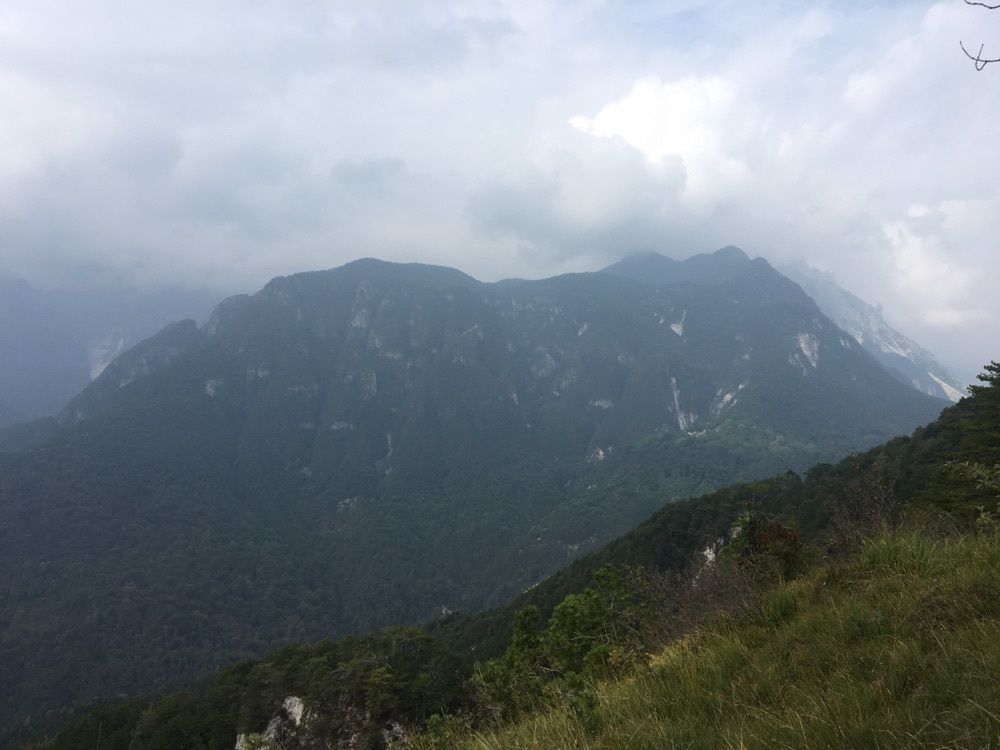
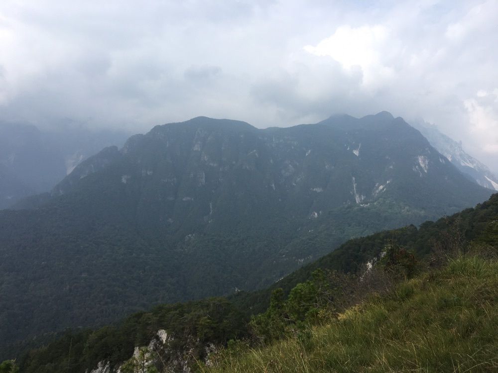
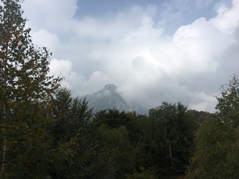
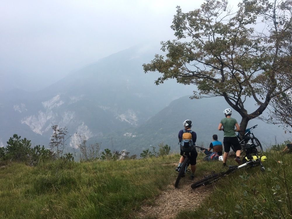
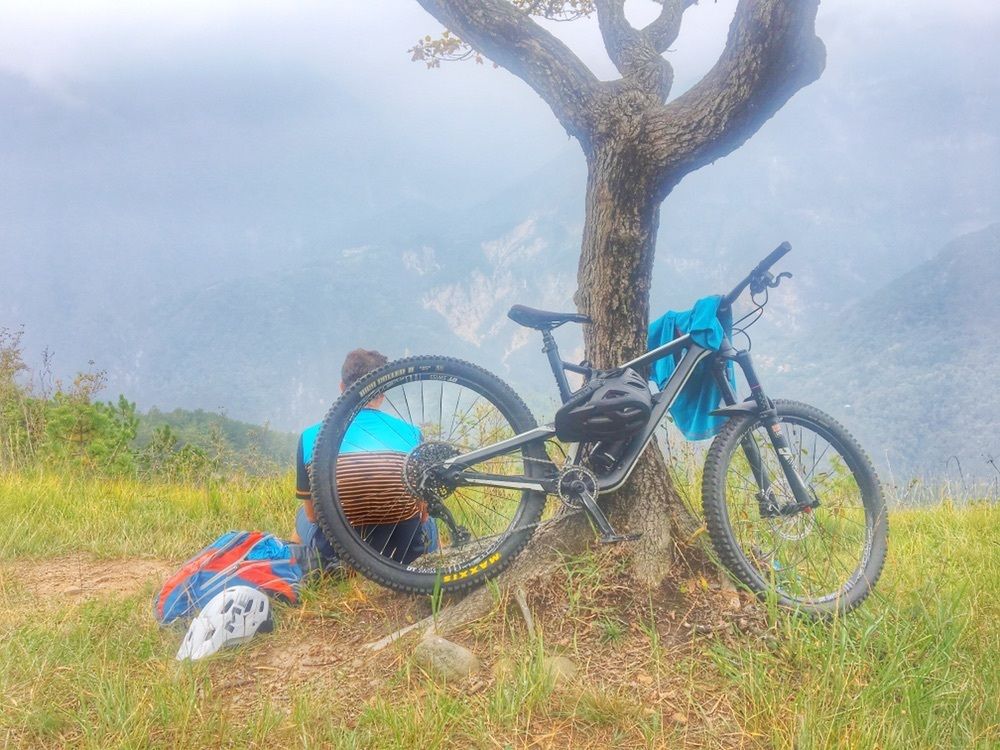
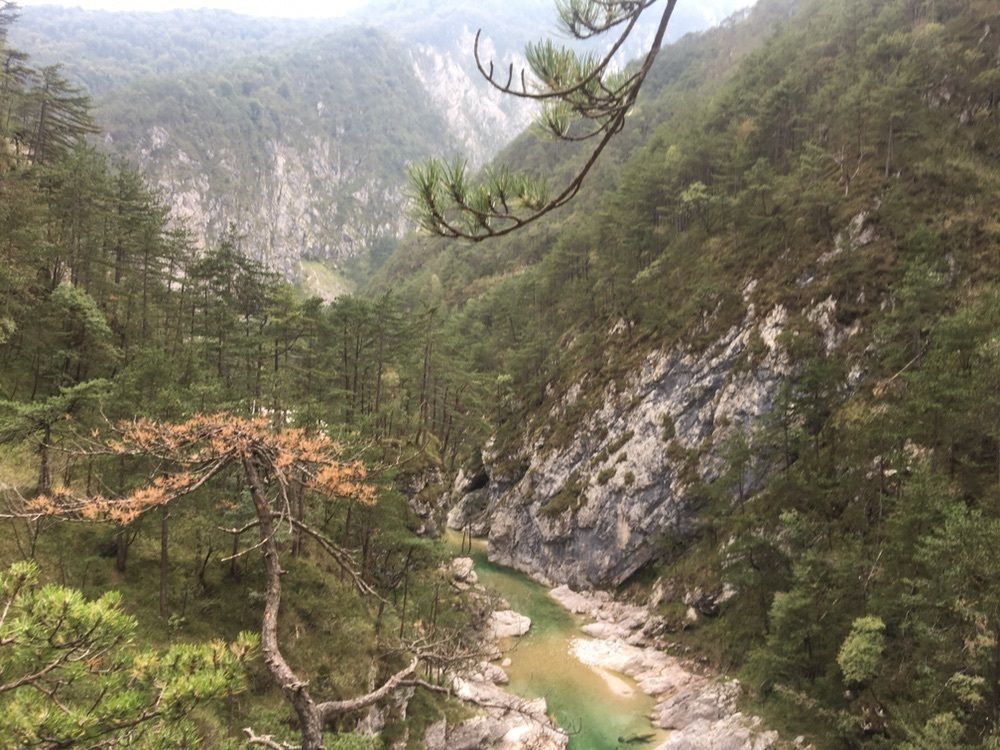
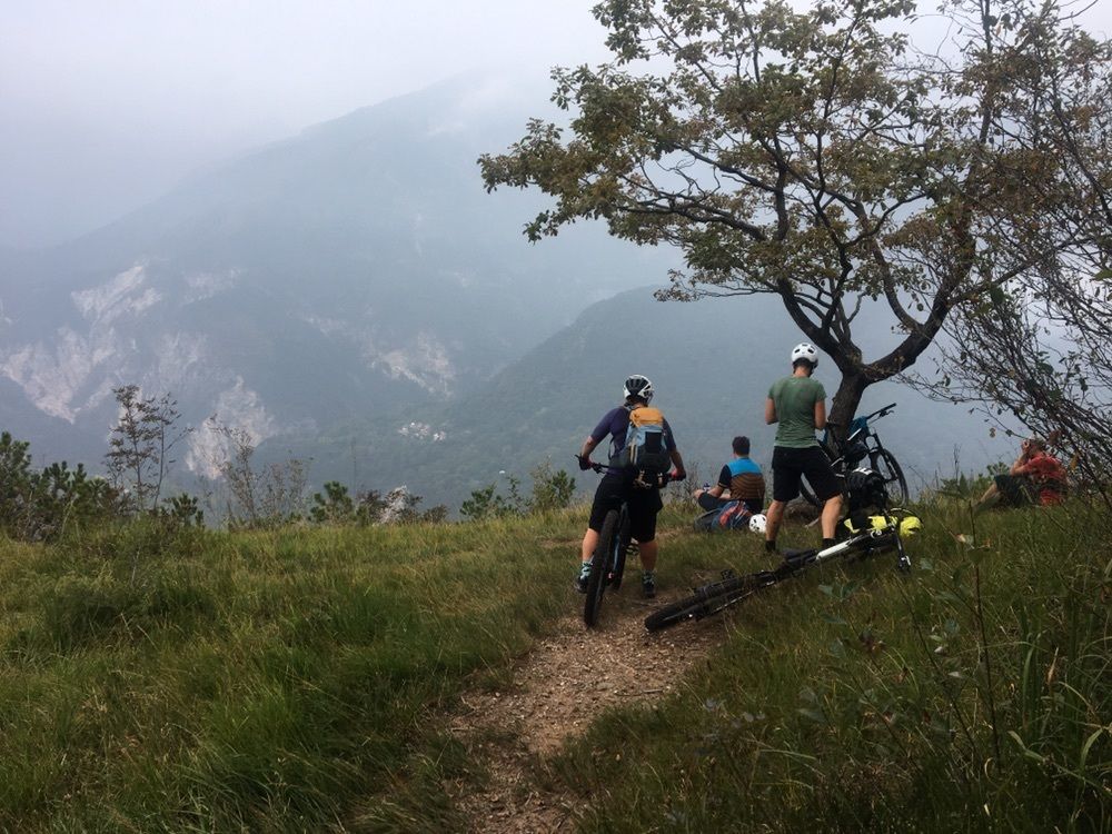
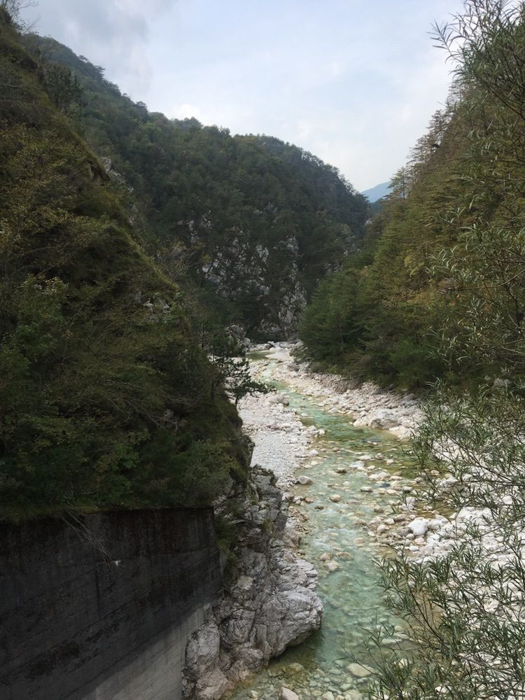
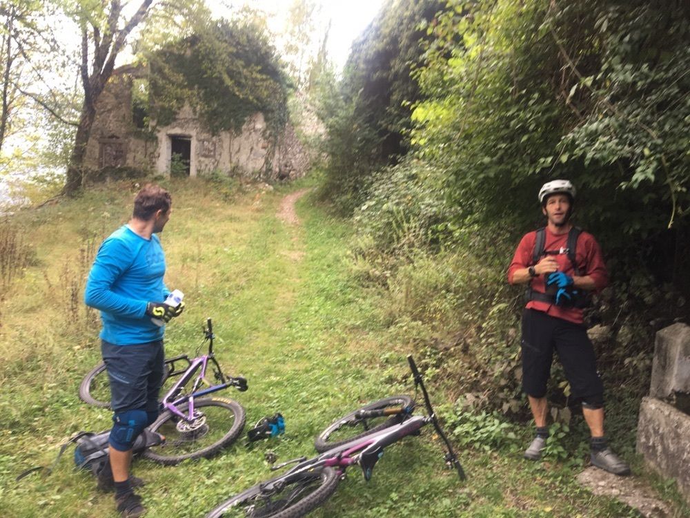
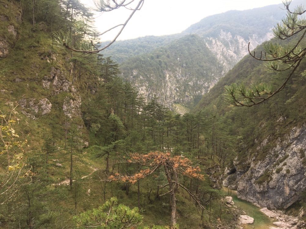
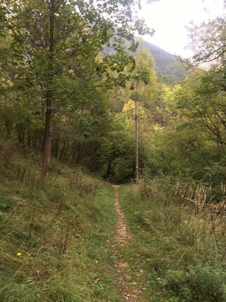
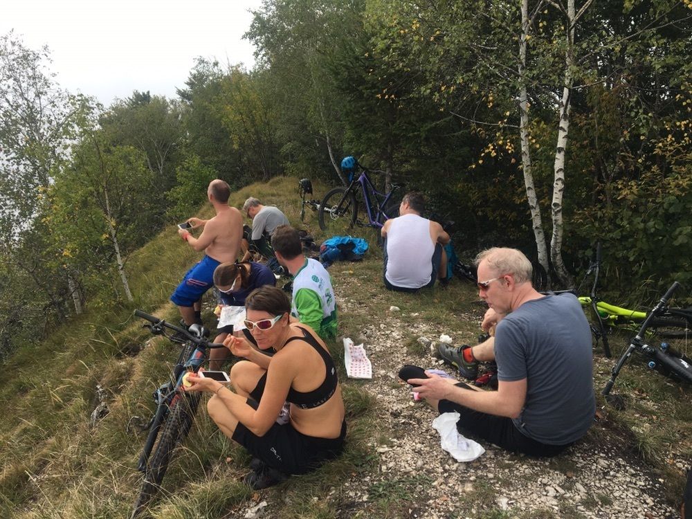
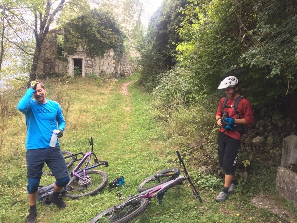
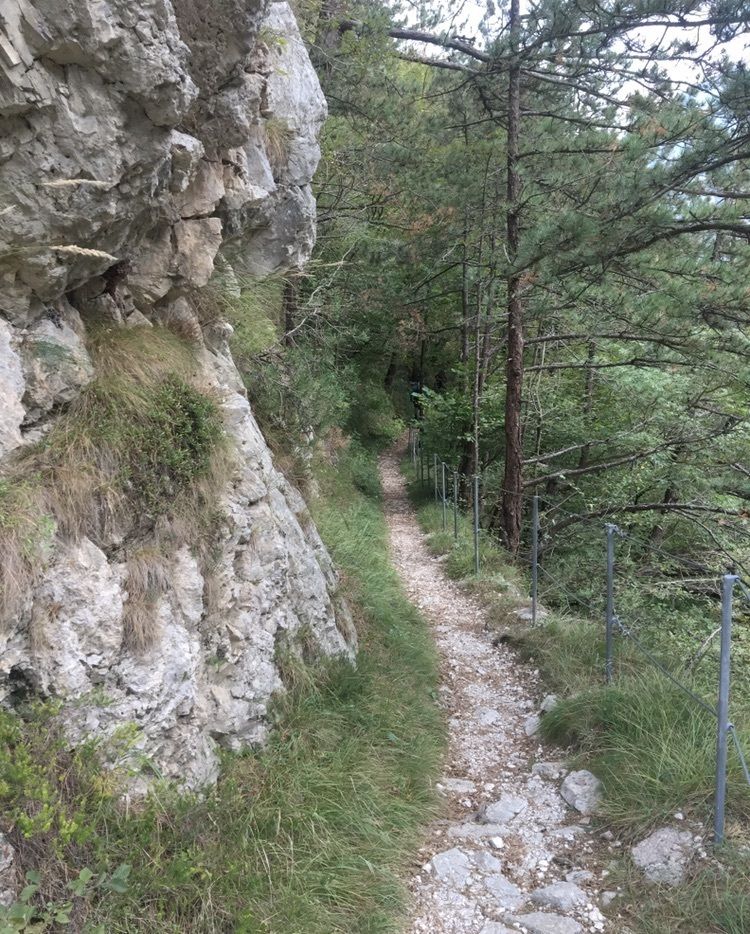
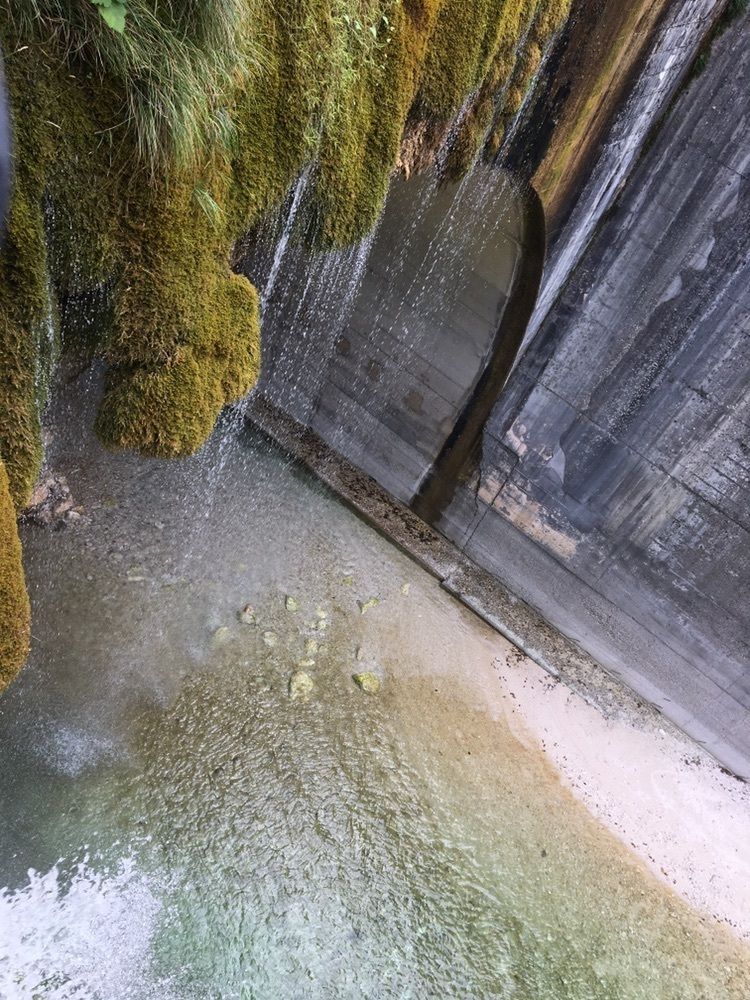
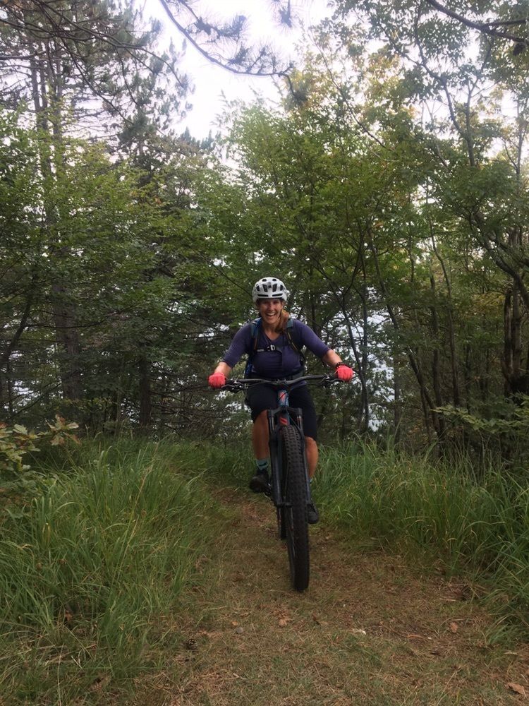
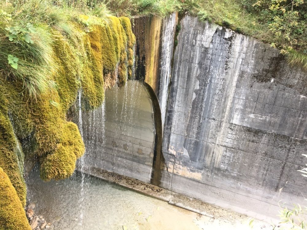
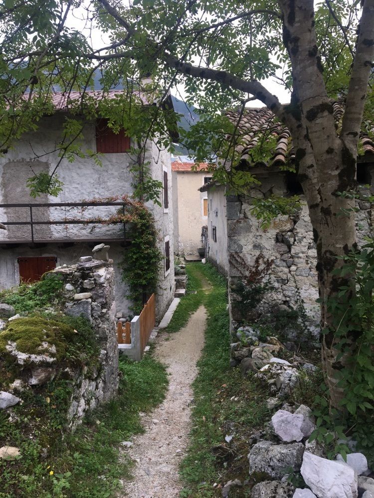
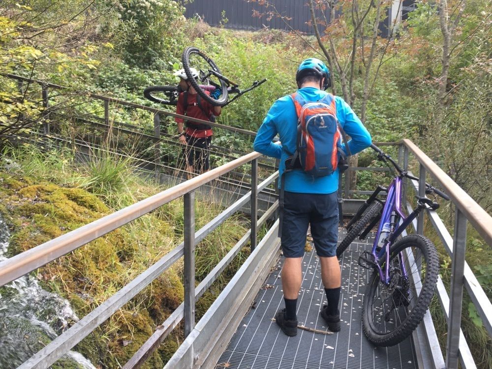
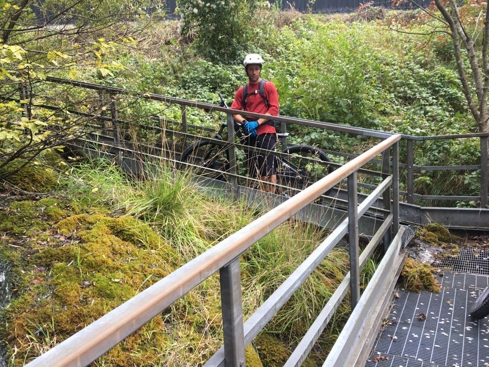
Awesome ride, worth taking the trail down from the balcony
- Schwierigkeit
-
mittel
- Bewertung
-
- Wegverlauf
-
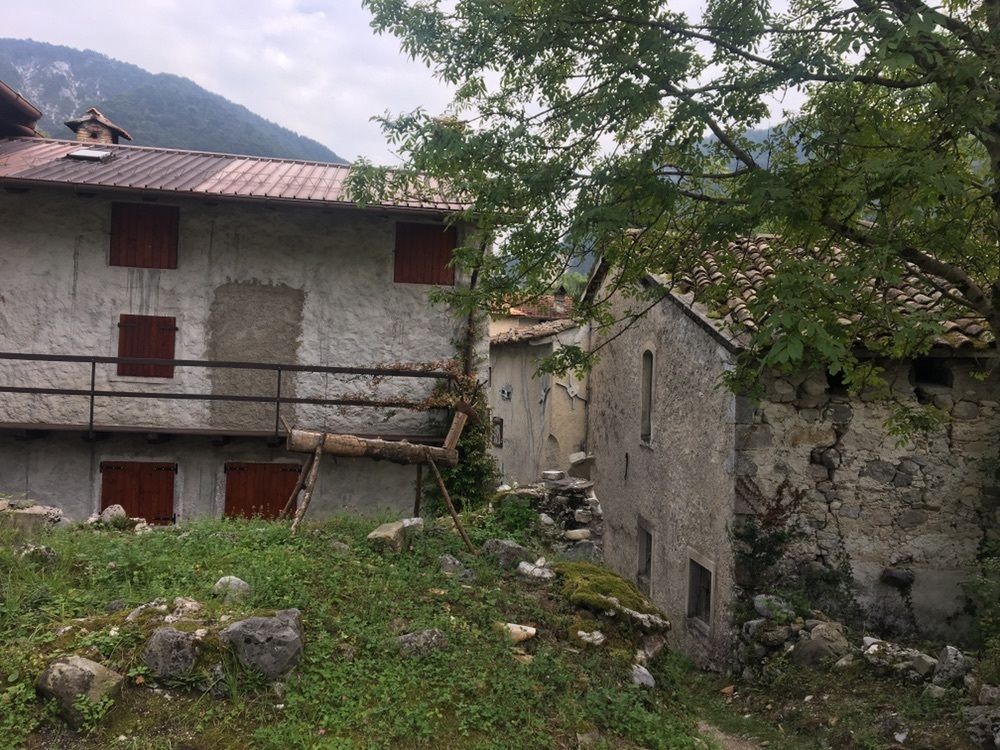
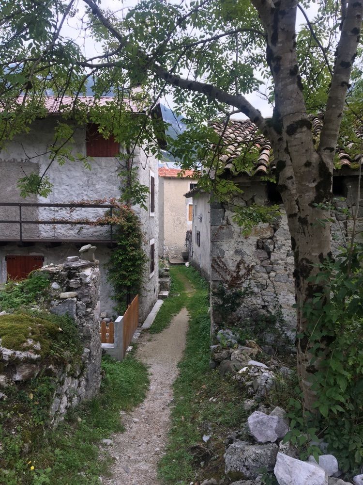
Locanda San Gallo0,0 kmLocanda degli Artisti0,1 kmMoggio Udinese0,1 kmBorgo Travasans1,2 kmBorgo Costa2,2 kmGriolec7,6 kmMonticello (1.362 m)9,3 kmGriolec11,3 kmMoggessa di Qua16,3 kmLa Gote de la Mont di Palis18,6 kmCampiolo Alto20,0 kmCampiolo20,2 kmLa Corte dei Miracoli23,0 kmBorgo Linussio23,1 kmMoggio Udinese23,4 kmChiesa della Santissima Trasfigurazione23,6 km
- Höchster Punkt
- 1.329 m

GPS Downloads


Weitere Touren in den Regionen