


Goldiwheel Trail
Along with the Rabenfluh Trail, the Goldiwheel Trail is the second official trail for the city of Thun. The upper part comprises a flowing track into the Geissen valley; as you ride the waves and navigate...
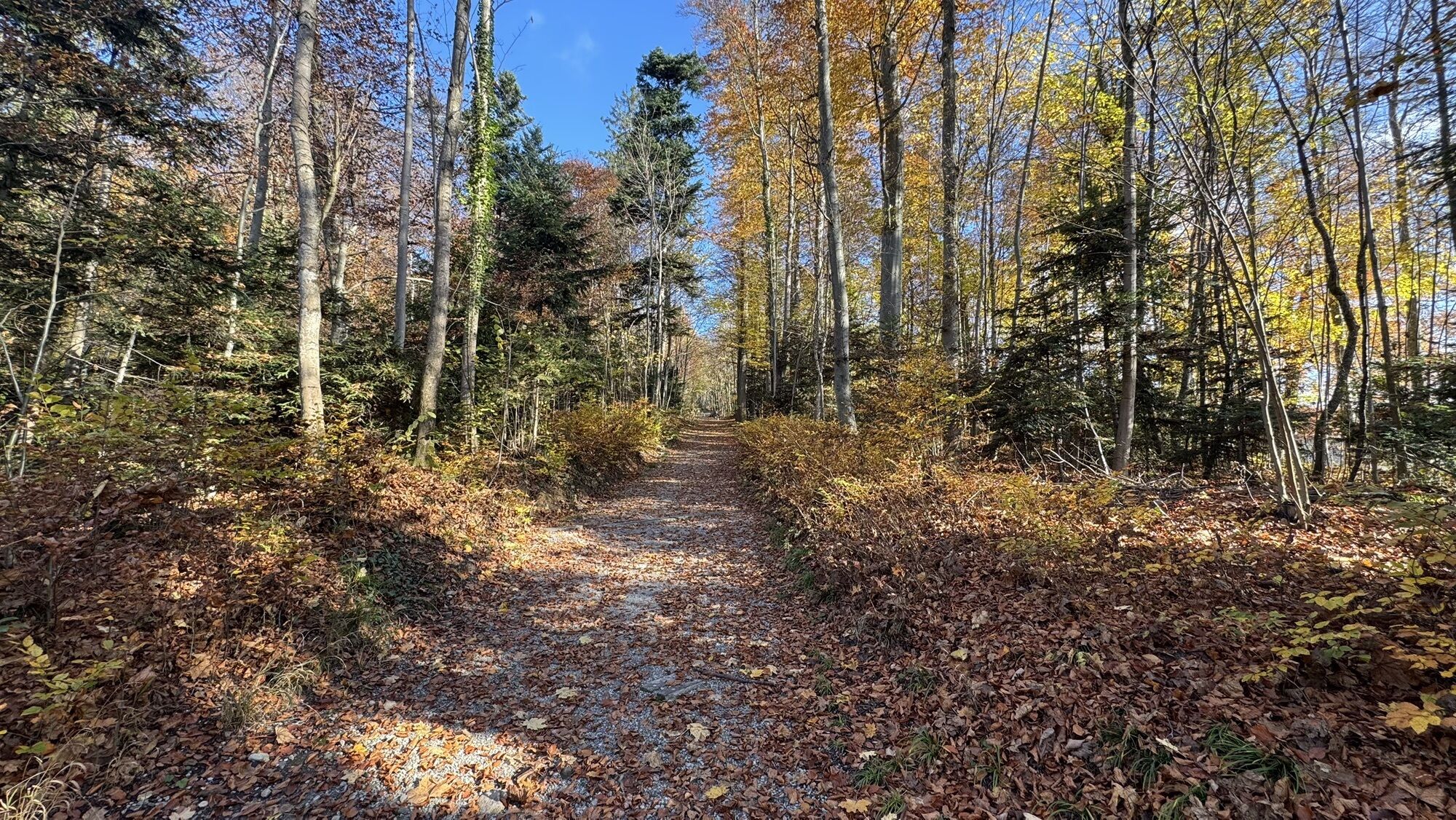
Along with the Rabenfluh Trail, the Goldiwheel Trail is the second official trail for the city of Thun. The upper part comprises a flowing track into the Geissen valley; as you ride the waves and navigate skilfully around smooth bends, there is practically no need to touch the pedals. A short section of road then you brings you to an extended jumpline with an 11-metre table on the last jump – but don’t worry, the line starts with tables of 3-4 metres and all jumps can be ridden over or traversed. From this point on, much of the trail is man-made or natural. You finally arrive at Untere Wart in Thun, a five-minute cycle ride to the shuttle.
Thun – Goldiwilstrasse - Goldiwil - Thun
Wear suitable biking gear, including helmet and pads.
Concentration is required, especially on the Goldiwilstrasse stretch. The speed limit is 80km/h.
There is a parking place by the jumpline.
Hone your skills on the jumpline. Start with the small jumps in the top section and gradually build up to the bigger jumps.
Beliebte Touren in der Nähe
- 4,7
Mülenen - Glogghore - Niesen - Niesen Kulm
schwerWanderung 7,86 km - 3,6
Sieben Hengste
schwerWanderung 13,7 km - 4,0
Niederhorn-Burgfeldstand-Gemmenalphorn-Justistal-Beatenberg
mittelWanderung 18,1 km - 4,0
Niederhorn-Oberburgfeld-Gemmenalp Oberberg-Waldegg
Wanderung 9,60 km - 4,0
Höhenwanderung Gurnigel - Stockhorn
mittelWanderung 11,2 km Beatenberg/Waldegg-Holzflüe-Habkern
mittelWanderung 7,12 km- 4,5
Wanderung Habkern - Gemmenalphorn - Niederhorn
mittelWanderung 10,8 km - 4,2
Interlaken, Schweiz
mittelWanderung 10,3 km - 4,6
Chartreuse - Thun - Hünibach - Goldiwil
mittelWanderung 12,3 km - 1,0
Beatenberg-Justistal
Radfahren 15,7 km

Wandern & Tracking


Verpasse keine Angebote und Inspirationen für deinen nächsten Urlaub
Deine E-Mail-Adresse wurde in den Verteiler eingetragen.