







Royal Munich - On the trail of the kings through the boulevards of Munich
The kings Max I and II and Ludwig I and II have shaped the cityscape of Munich. Above all Ludwig I had made it his task to make Munich the most magnificent city of all times. "I want to make of Munich...
The kings Max I and II and Ludwig I and II have shaped the cityscape of Munich. Above all Ludwig I had made it his task to make Munich the most magnificent city of all times. "I want to make of Munich a city that should honour Germany in such a way that nobody knows Germany unless they have seen Munich" was his promise. And if we are quite honest and think about how many tourists come to Munich each year, then he would certainly be satisfied with what he would see today.
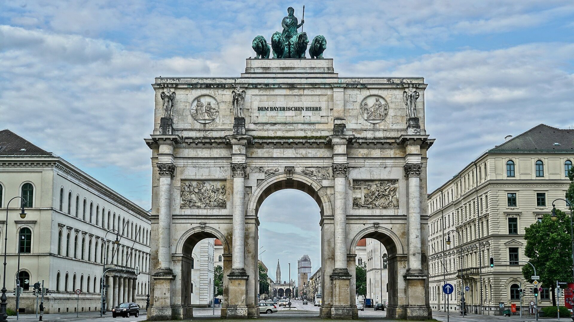
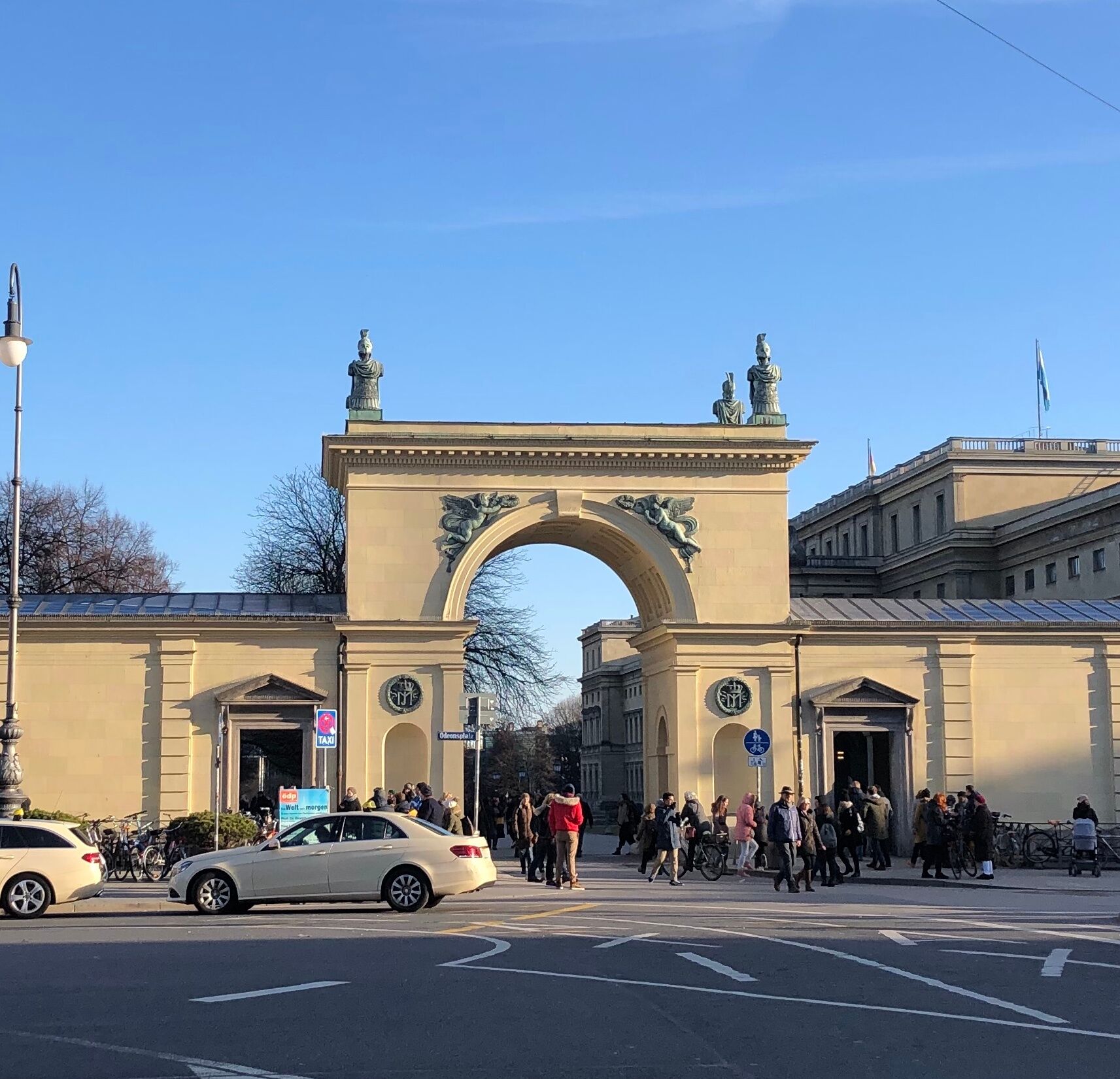
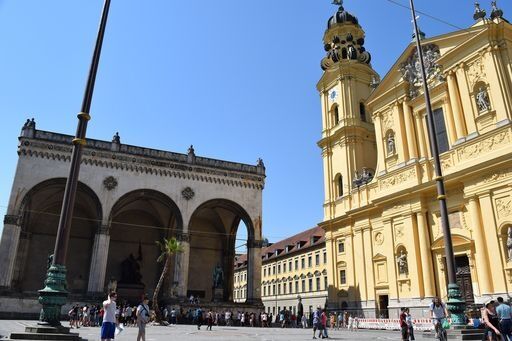
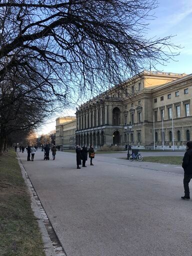
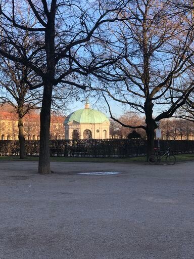
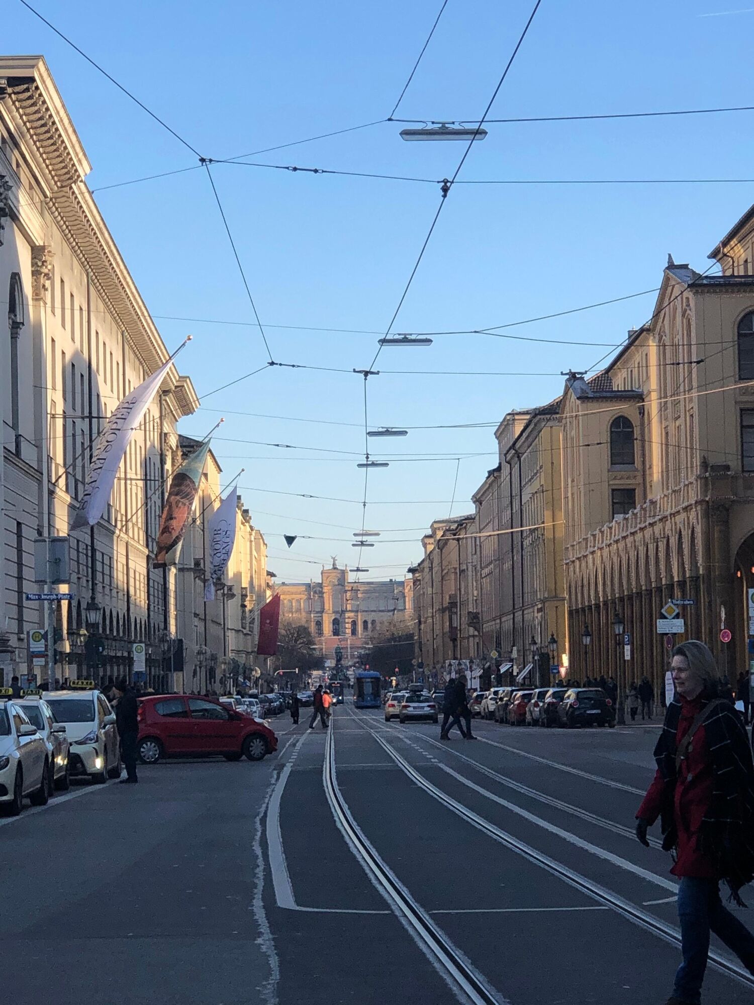
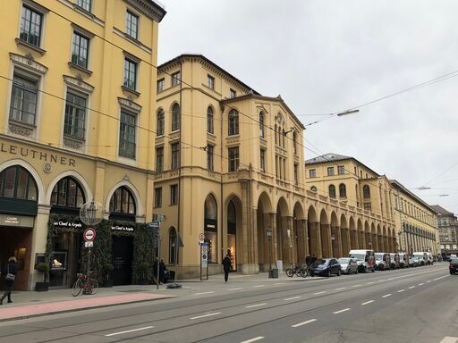
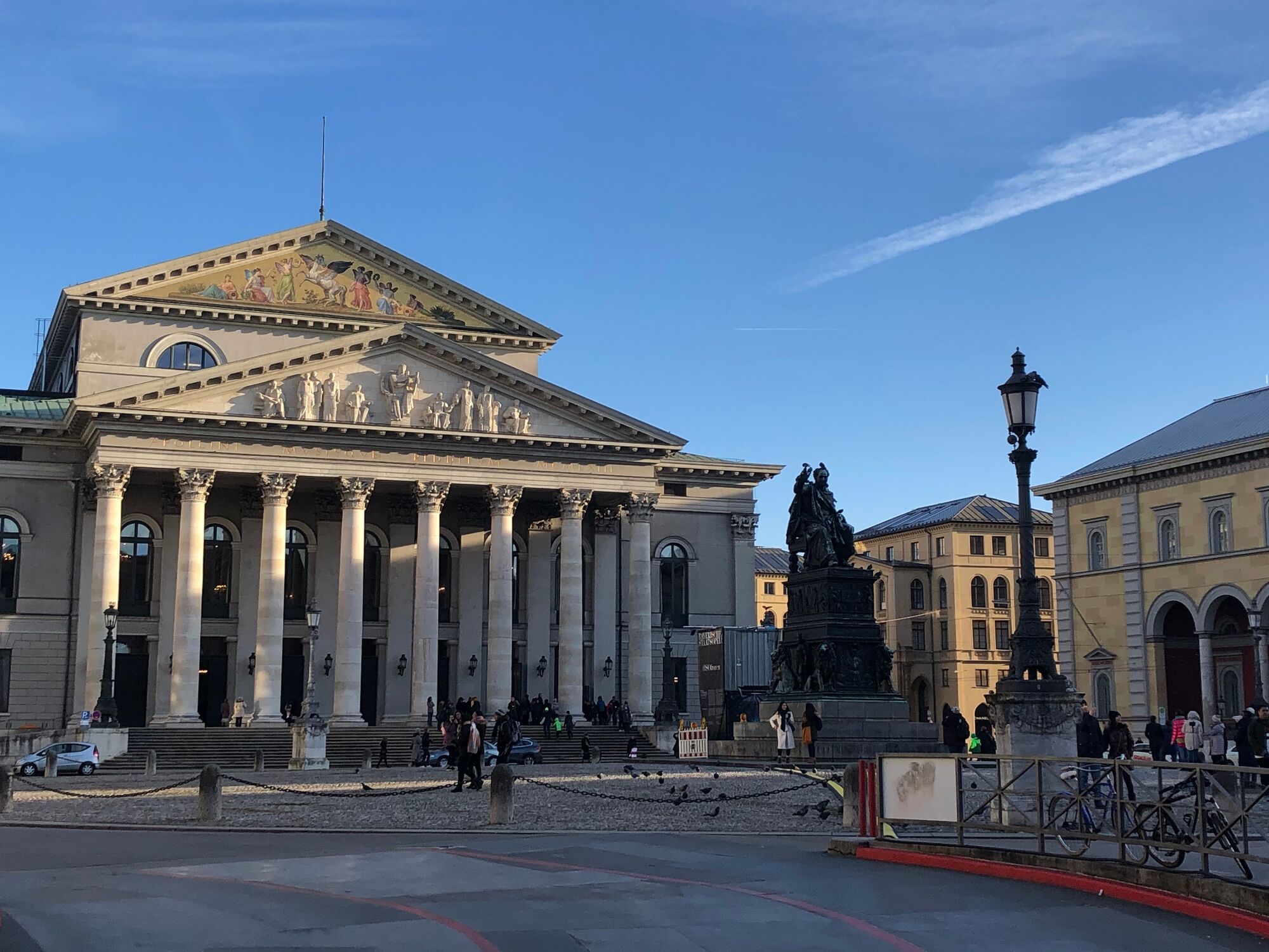
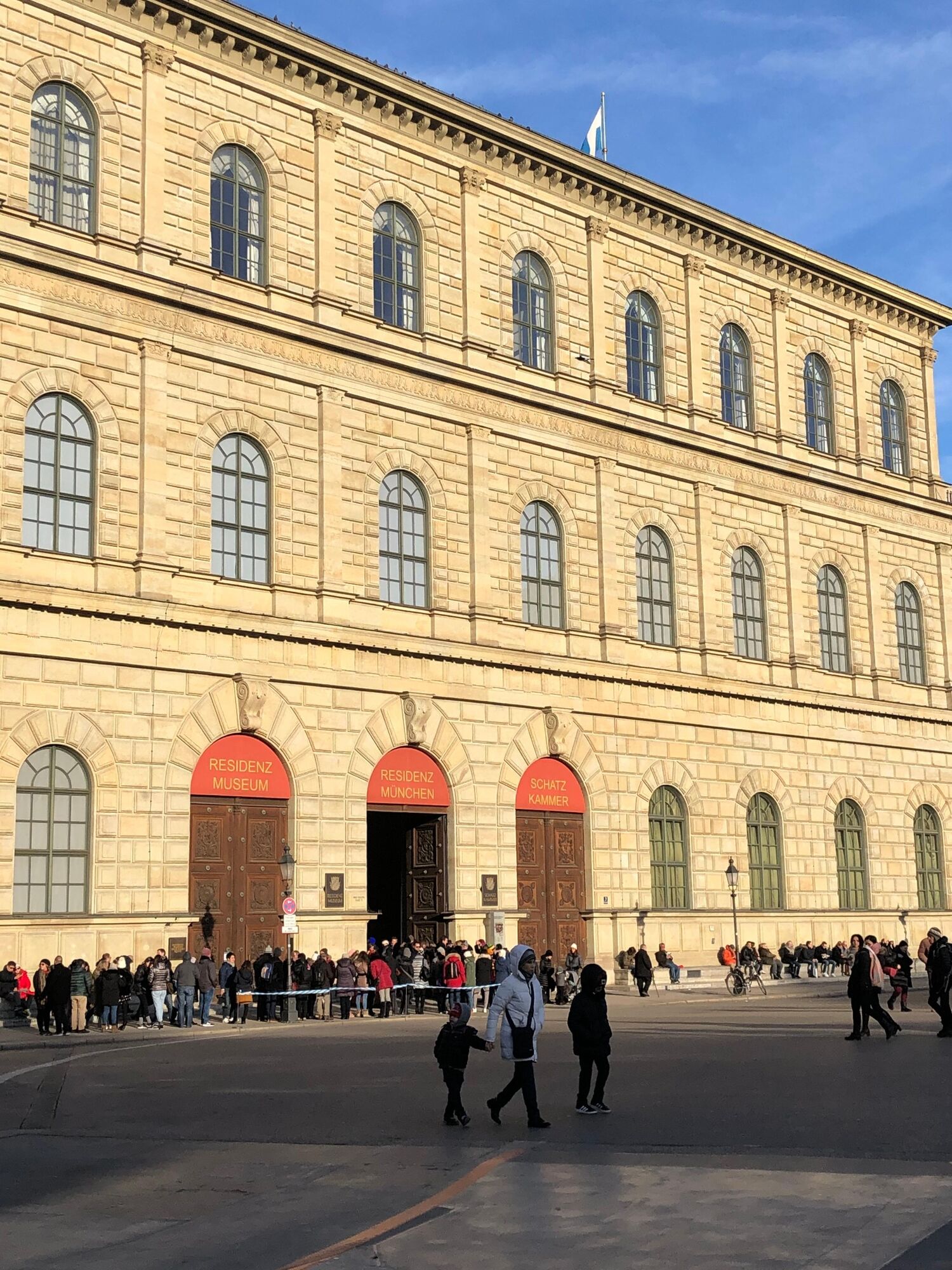
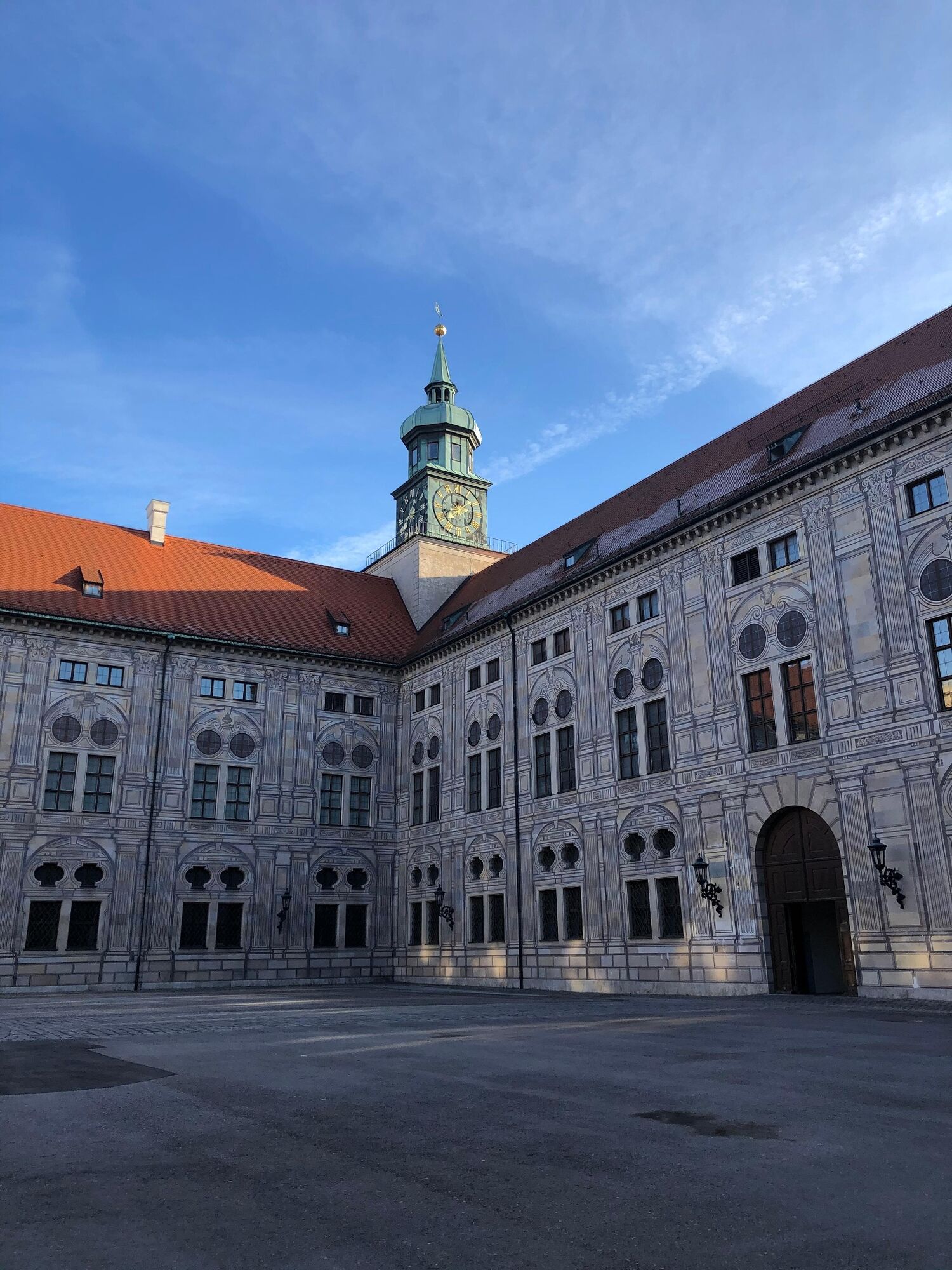
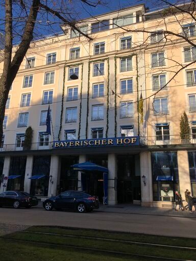
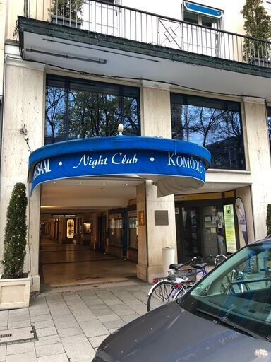
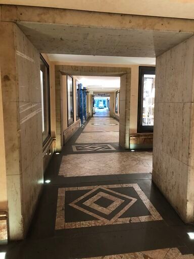
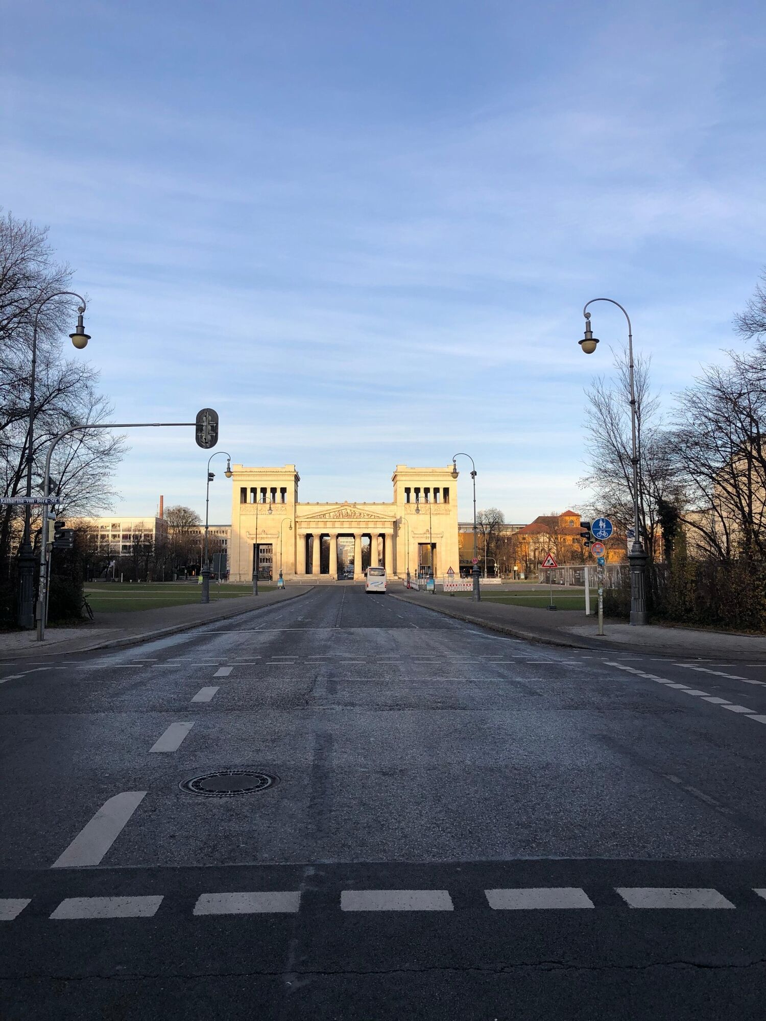
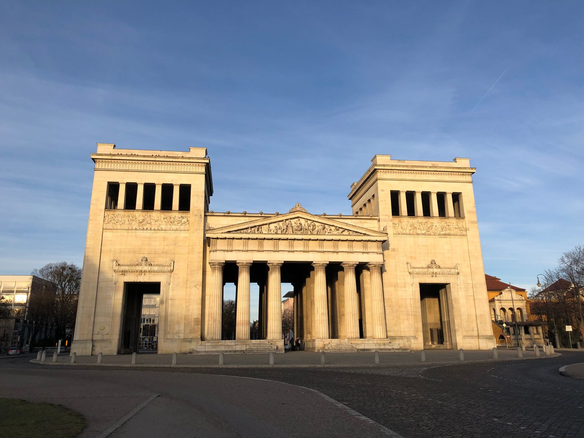
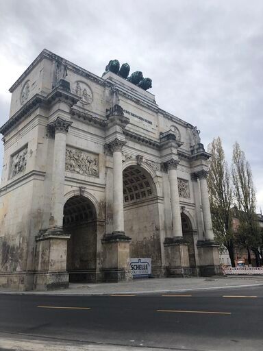
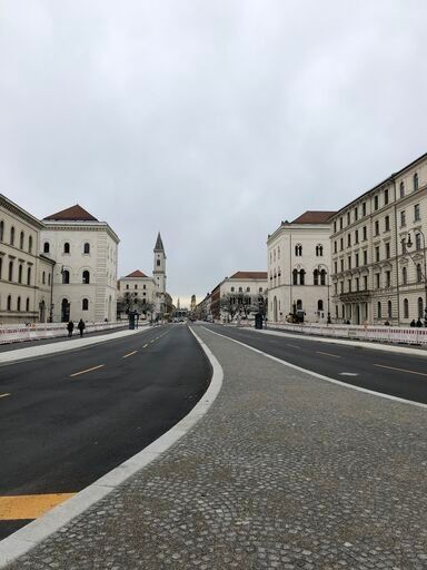

Since the tour is a circular route, you can of course start anywhere on the map. The "Odeonsplatz" is an ideal starting or ending point, as it is easily accessible by public transport and takes us directly into the pompous world of kings. To dive completely into this world, we start through the gate into the "Hofgarten" (see picture). We cross this garden straight ahead on the gravel path, whereby the temple of Diana in the middle of the Hofgarten is worth a little side trip. On the right side we look at the "Residenz München". At the end we turn right into the street and then immediately left into the Hofgartenstraße. This leads to a large crossing where we turn right. We walk along Karl-Scharnagel-Ring until we reach the next big crossing. To our left is a gigantic building, which was built under Maximilian II. and in which the government of Upper Bavaria has its seat today. But we turn right into the street of the rich and beautiful - the Maximilianstraße. Arrived at the end of the street we stand at the Max-Joseph-Platz with the homonymous monument of King Maximilian I Joseph. On the right hand side we again have a view of the Munich Residence. We continue walking straight ahead through Perusastraße and follow the tram line into Maffeistrasse. This leads us directly to Promenadenplatz and the Hotel Bayerischer Hof, which dates back to King Ludwig I. At the last blue canopy before you have completely passed the Bayerischer Hof, we turn right into the tiled passage (see pictures). Passing the box office of the Komödie in the Bayerischer Hof we come out in the Prannerstraße. We follow this street to the left, cross the intersection straight ahead across Maximiliansplatz and continue straight ahead into Max-Joseph-Straße until we reach the roundabout, Karolinenplatz, with the prominent monument in the middle. Since we are on foot, we can turn left at the roundabout and take the second turning, into Brienner Str. As soon as you have turned into this street, you can already see the unique view of the Königsplatz, which we are heading towards directly. After we have seen the plaza with all its facets and maybe made one or two pictures, we pass the monument at the right side and turn right into the Luisenstraße. At the first crossing we turn right into Gabelsbergerstraße. Along the Alte Pinakothek on the left and the Hochschule für Fernsehen und Film on the right, we turn left into Barerstraße after these two striking buildings. We follow this street. If you have slowly become a bit lame on your feet, you will find many small cafés and restaurants here to fortify yourself. After about 650 meters at a kiosk on the corner we turn right into Blütenstraße. At the end of this street we turn left into Türkenstraße and at the second crossing we turn right again into Akademiestraße. After the last kilometre was more of a residential area, the impressive victory gate awaits us at the end of Akademiestraße. If we now turn right for the last time, we can stroll like a true king through one of Munich's most impressive streets - Ludwigstraße. We pass the Ludwis-Maximilian University, the Geschwister-Scholl-Platz, the Bavarian State Library and end up again directly at our starting point, the Odeonsplatz.
Even though there is most likely neither a four-in-hand carriage nor a valet waiting for us to do the crown, but rather the overcrowded subway, each of you can hopefully take home a bit of royal atmosphere.
Translated with www.DeepL.com/Translator (free version)
If you want to get as close as possible to the kings, you can of course do without digital maps. Since this is a tour in the city centre, any city map of Munich should be helpful.
Even if we are on the trail of the kings and they couldn't even dream of a camera like we have nowadays, you should still take one with you. Because there are a lot of nice photo spots on this tour.
The only danger is that you don't want to go back to the simple student life after the tour.
As the Odeonsplatz is located in the centre of Munich, it is advisable to leave your car at home and take public transport or bicycle to the starting point. Bicycle stands are available directly at the Odeonsplatz.
In addition, the bus lines 100 and 153 lead to Odeonsplatz.
Should you nevertheless arrive by car, there are parking spaces at the beginning of Ludwigstraße and in side streets. However, these are associated with high parking costs.
This route can of course be walked at any time, but it is especially beautiful in winter, when fairy lights decorate the streets.
Hol dir den Einblick Immer live vor Ort mit über 9.500 Webcams. In der Touren App von bergfex siehst du als Pro-User jetzt zu vielen Touren die passenden Webcams. So kannst du dir direkt die aktuellen Bedingungen ansehen.Beliebte Touren in der Nähe
- 4,5
Grünwald - Georgenstein
leichtWanderung 8,50 km - 3,0
Idyllischer Rundweg Lehel - Isarauen - Englischer Garten
mittelWanderung 10,4 km - 5,0
Die Isar entlang
leichtWanderung 16,1 km Isartal Pullach
leichtWanderung 10,6 km- 5,0
Isarrunde rund um den Flaucher by Wilson Holz
leichtWanderung 10,1 km The journey is the reward - Motivational Run from Gern to the Palace Nymphenburg
leichtLaufen 4,76 kmIsar(Kanal)Wanderung | Rundweg von Thalkirchen nach Grünwald und zurück
leichtWanderung 17,0 kmAuenstrasse - Grünwald 14 km
mittelLaufen 13,9 kmSightseeing mit dem Rad durch München
mittelRadfahren 24,8 kmIsar West durch den Englischen Garten by Wilson Holz
leichtWanderung 13,0 km
Wandern & Tracking


Verpasse keine Angebote und Inspirationen für deinen nächsten Urlaub
Deine E-Mail-Adresse wurde in den Verteiler eingetragen.





