







With the bicycle and the camera through Munich - the CO2-saving photobiketour
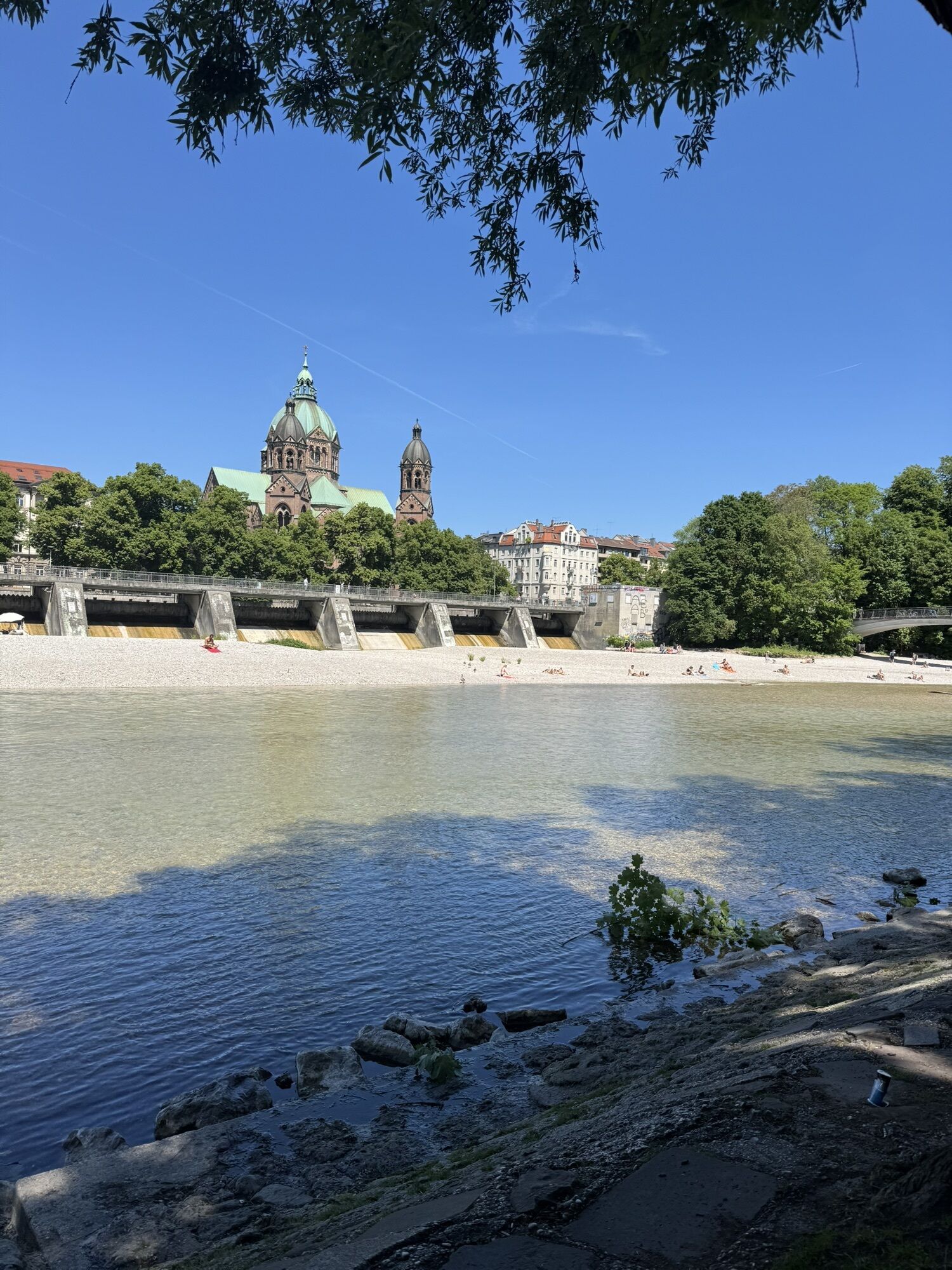

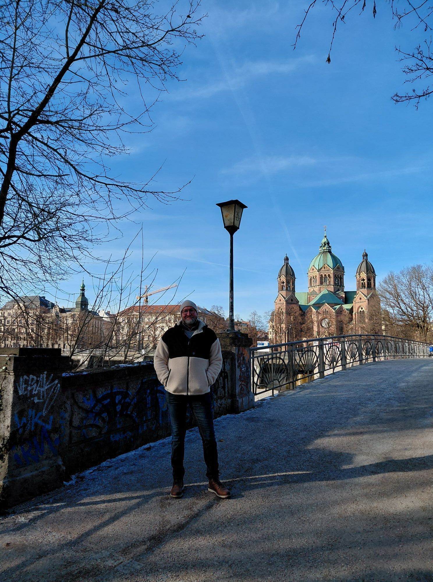
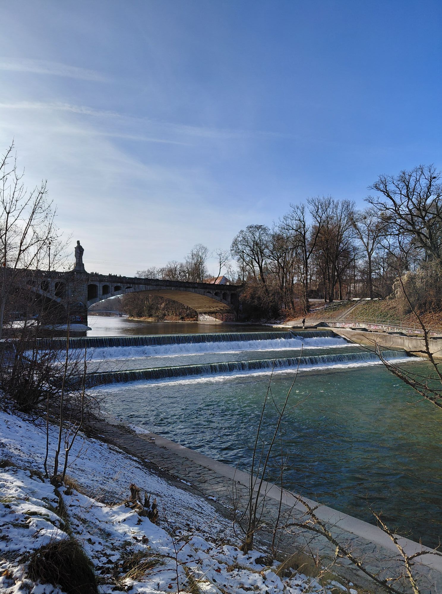

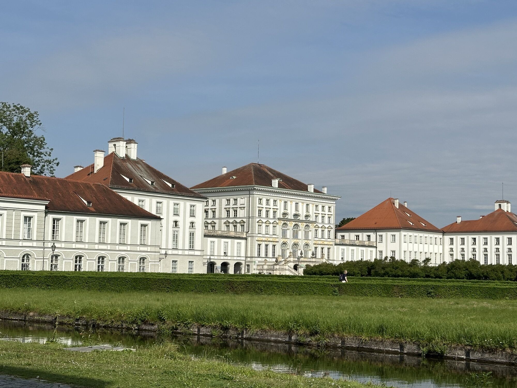
The both cultural and modern photo bike tour of the Bavarian capital, offers the opportunity to explore the city on two wheels, photographing both the culture and modernity of the city of Munich. The tour...
The both cultural and modern photo bike tour of the Bavarian capital, offers the opportunity to explore the city on two wheels, photographing both the culture and modernity of the city of Munich. The tour is for Munich residents who want to see the city from a different perspective but also for tourists who want to discover Munich. Likewise, the climate aspect is in the foreground, which is why the tour was created on a CO2-saving basis. The tour will pass by major landmarks and cultural hotspots and will also provide an opportunity to photograph the latest architectural developments and urban landscapes. Participants will have the opportunity to hone their photographic skills at waterside, landmark and nature sites and capture unique perspectives of the city. Suitable for both beginners and experienced age groups, the tour is an exciting way to discover the city in a new way.

Continue to Hirschgarten, which is characterized by green area, its skate park, beer garden and deer present. The deer are especially interesting for small children, because you can pet and feed them.
Furthermore, at theWestpark there are long walks along small lakes and a cultural insight into Asian temples.
At the Bahnwärter Thiel many containers and old trains have been sprayed by many graffiti, which inspires very modern photos.
Next on the plan is the Reichenbachbrücke, where you can take your bike for a great view of the Isar River and the surrounding area.
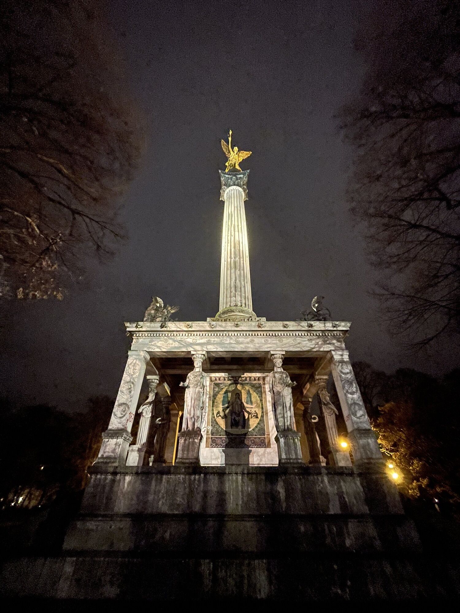
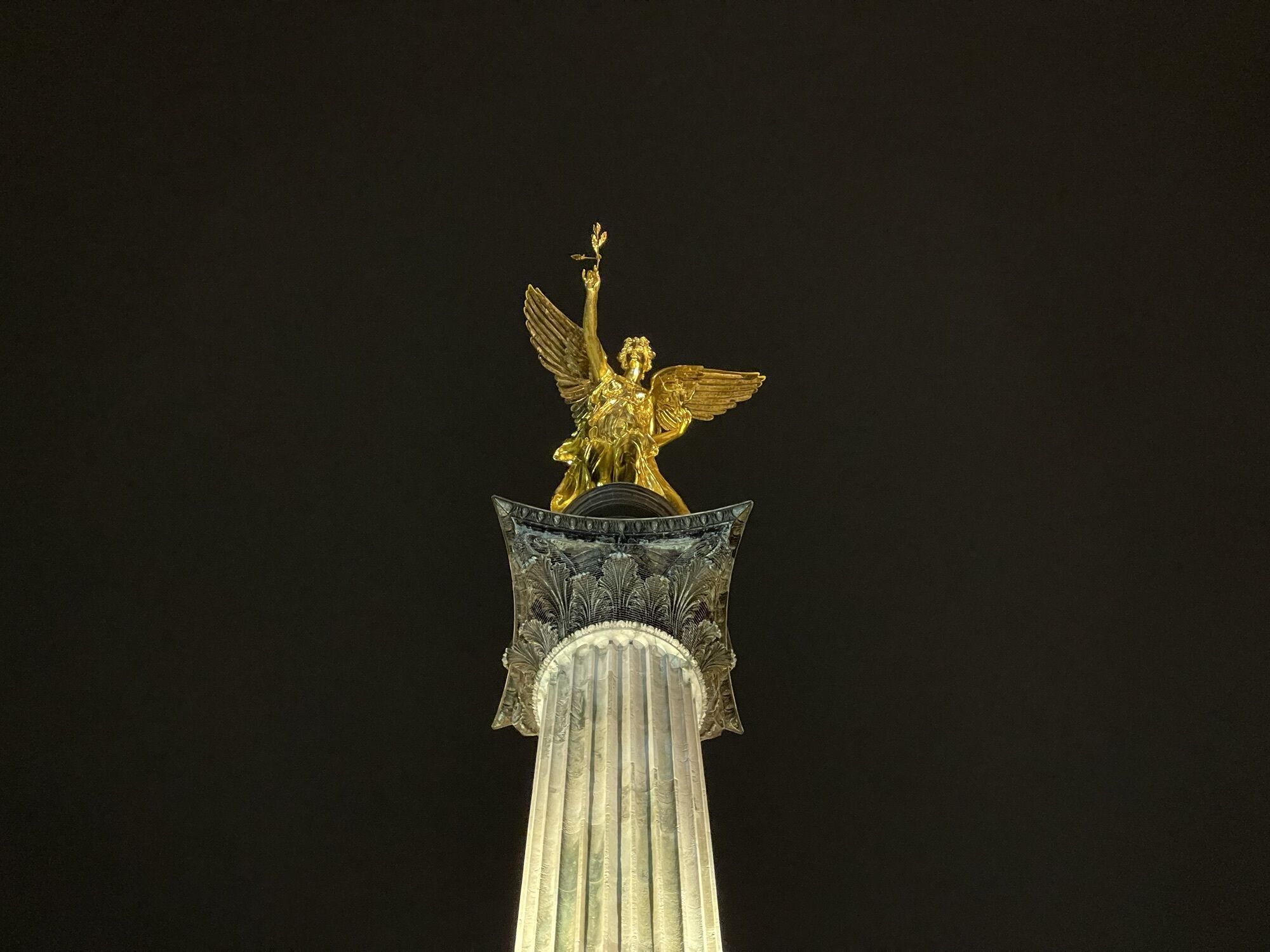
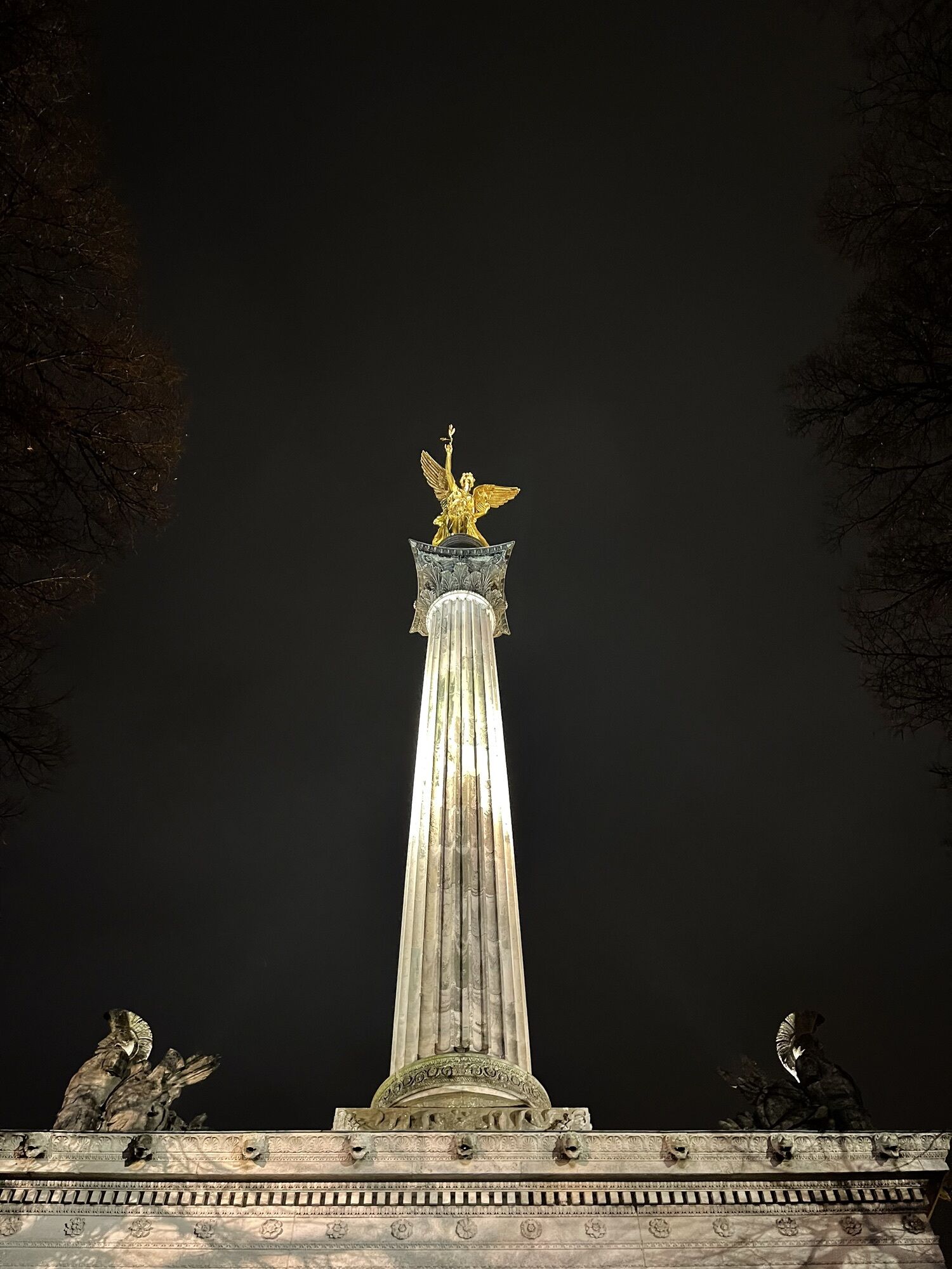
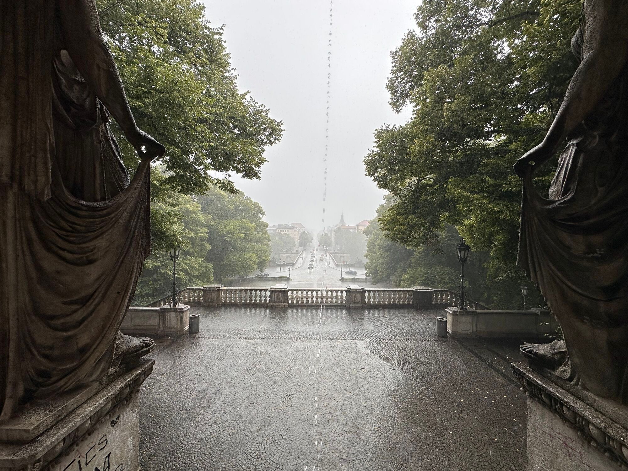
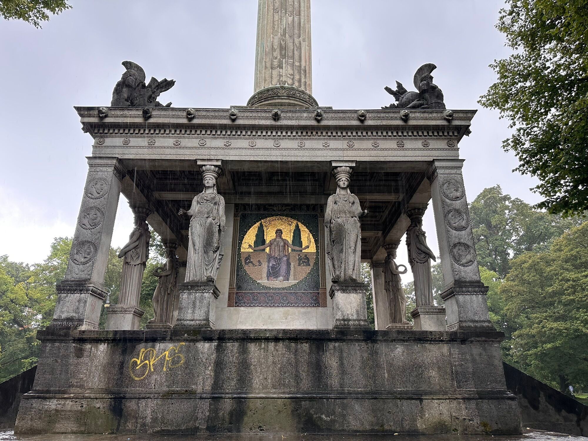
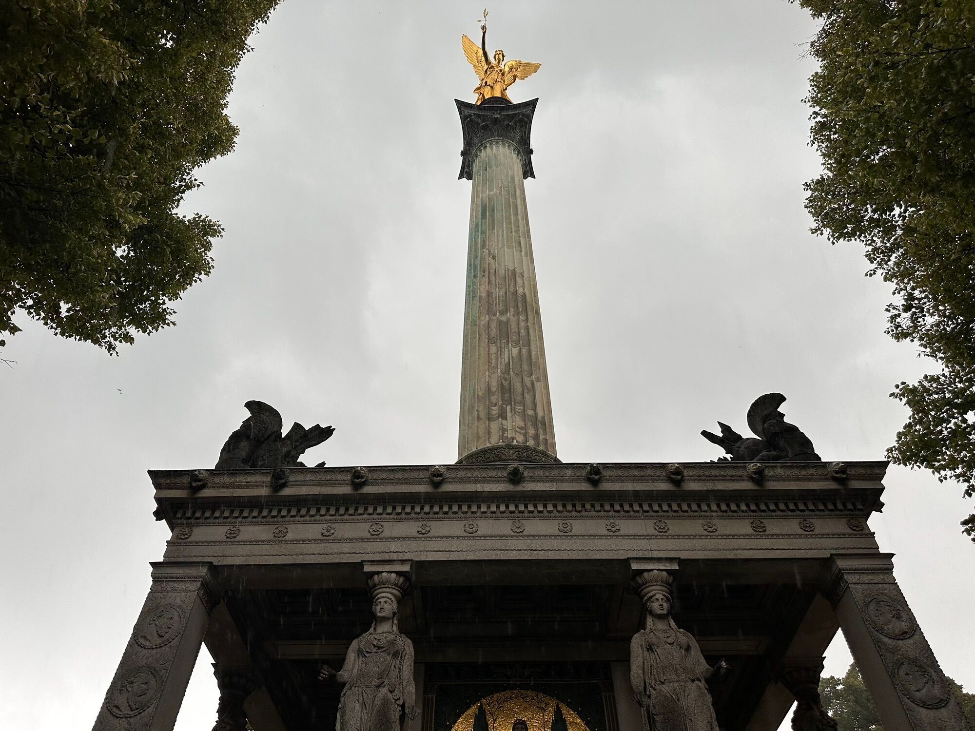
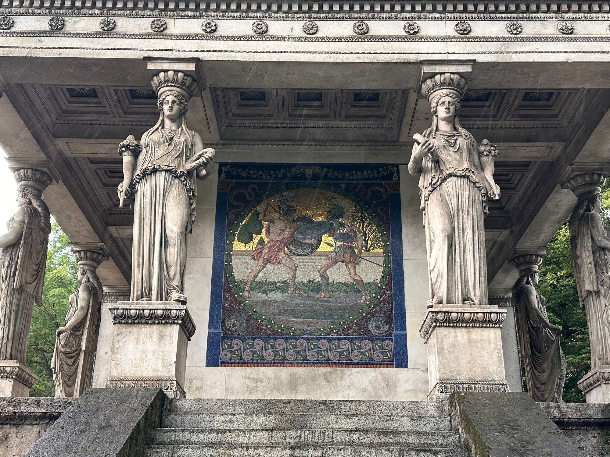
For the perfect view of Munich, we recommend the Friedensengel, which is not far from the Isar and is especially beautiful at sunset.
Finally, the Werksviertel right next to the Ostbahnhof is ideal for a regional insight in many restaurants and bars, which are an ideal conclusion after such a long tour.
Bicycle equipment, backpack, camera, smartphone
We recommend to arrive directly by bike or by public transport.
For more information on the timetables, please visit https://www.mvg.de/
To ensure a CO2-friendly tour, we recommend arriving by bicycle or public transport, but there is also the possibility of parking on site.
Plan time to provide photos and insights at the respective sights as well.
Hol dir den Einblick Immer live vor Ort mit über 9.500 Webcams. In der Touren App von bergfex siehst du als Pro-User jetzt zu vielen Touren die passenden Webcams. So kannst du dir direkt die aktuellen Bedingungen ansehen.Beliebte Touren in der Nähe
- 4,5
Grünwald - Georgenstein
leichtWanderung 8,50 km - 3,0
Idyllischer Rundweg Lehel - Isarauen - Englischer Garten
mittelWanderung 10,4 km - 5,0
Die Isar entlang
leichtWanderung 16,1 km Isartal Pullach
leichtWanderung 10,6 km- 5,0
Isarrunde rund um den Flaucher by Wilson Holz
leichtWanderung 10,1 km - 4,0
Würm River Tour Starnberg, Germany
leichtWanderung 7,90 km The journey is the reward - Motivational Run from Gern to the Palace Nymphenburg
leichtLaufen 4,76 kmIsar(Kanal)Wanderung | Rundweg von Thalkirchen nach Grünwald und zurück
leichtWanderung 17,0 kmAuenstrasse - Grünwald 14 km
mittelLaufen 13,9 kmSightseeing mit dem Rad durch München
mittelRadfahren 24,8 km
Wandern & Tracking


Verpasse keine Angebote und Inspirationen für deinen nächsten Urlaub
Deine E-Mail-Adresse wurde in den Verteiler eingetragen.





