






Panoramatour über die Salmaser Höhe zum Großer Alpsee
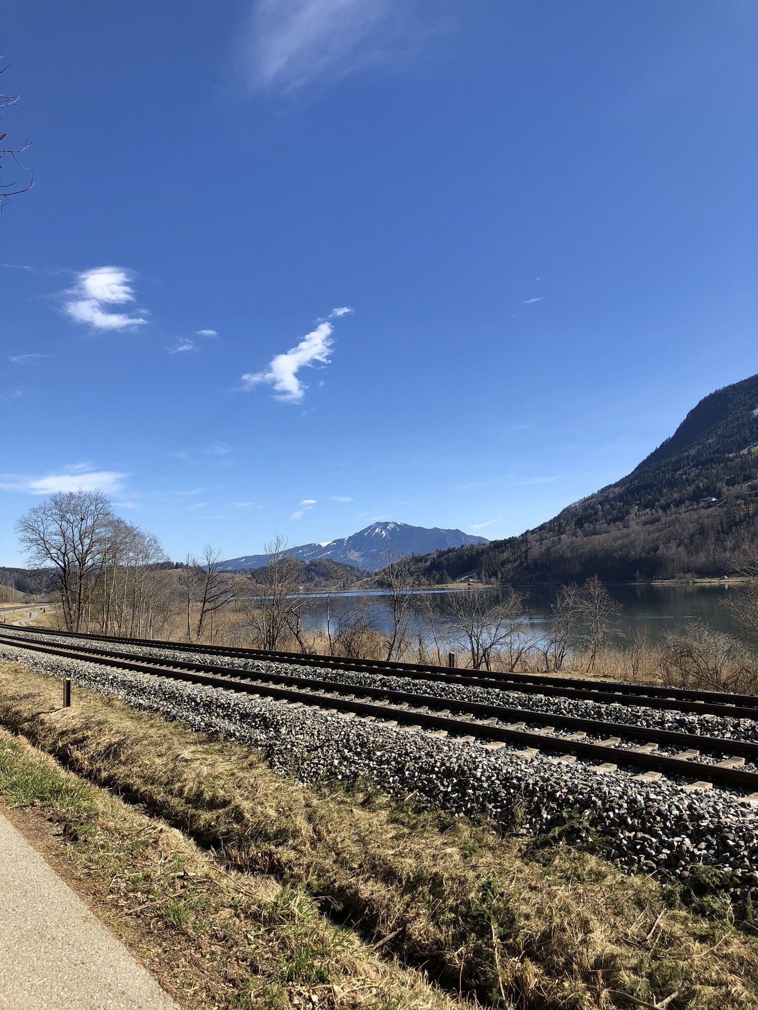
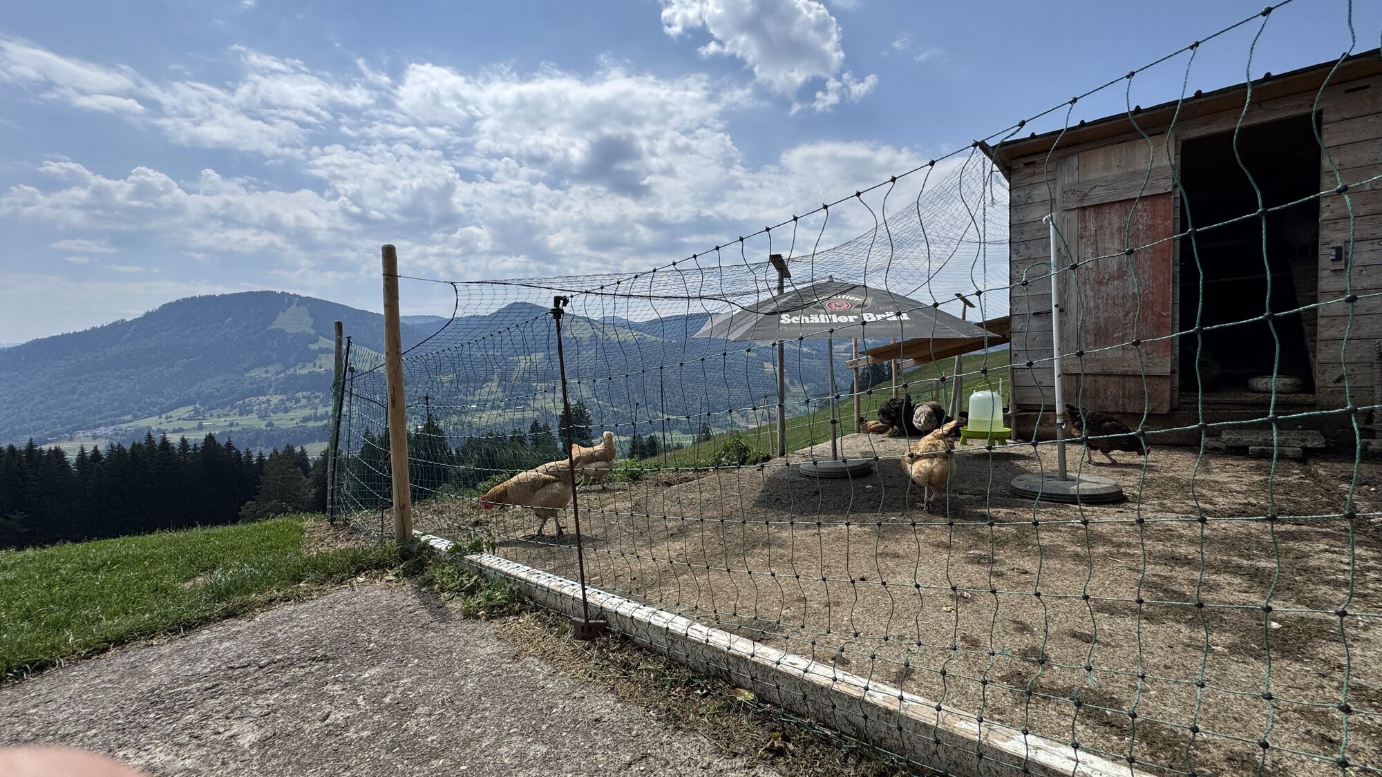
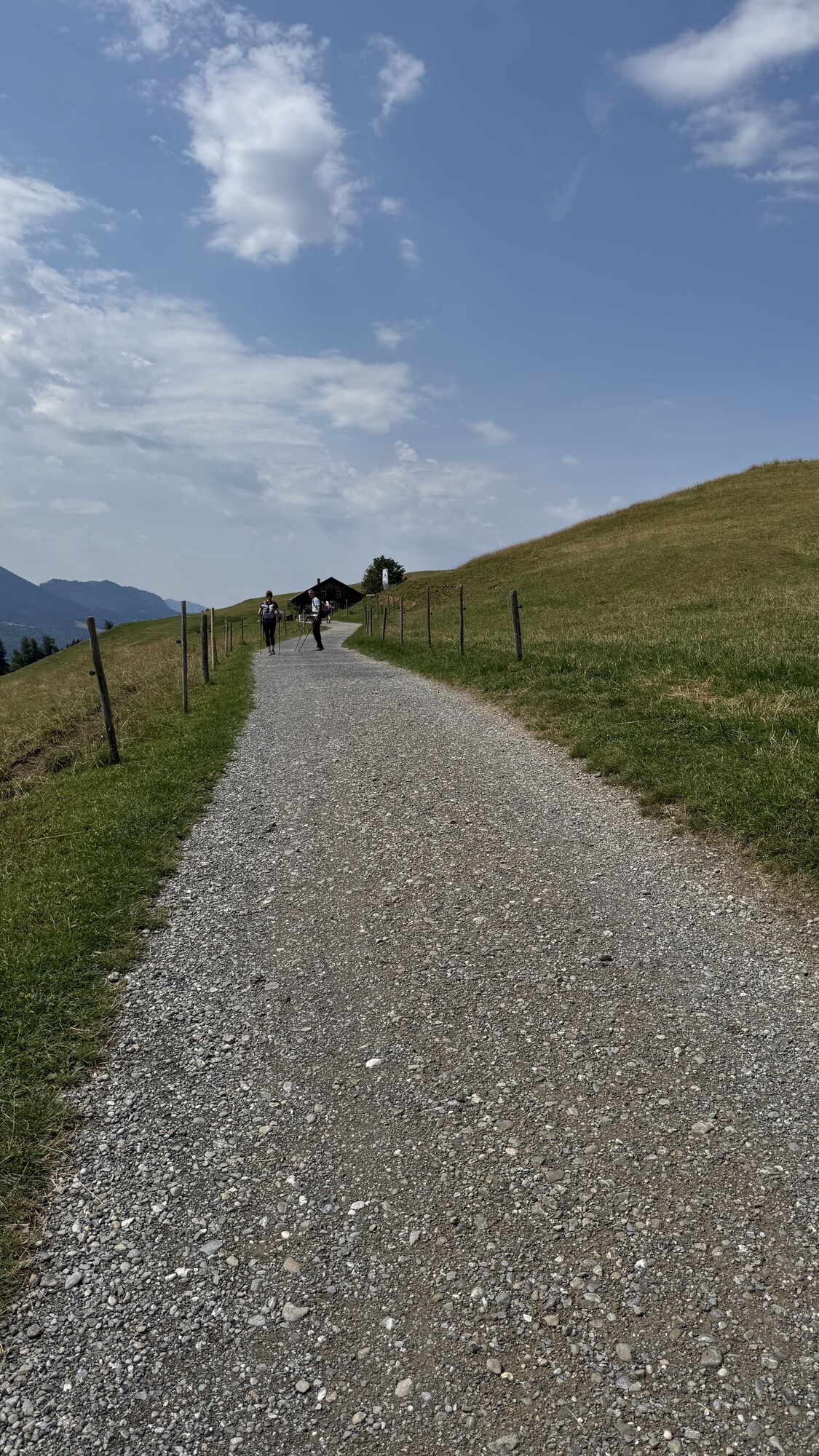
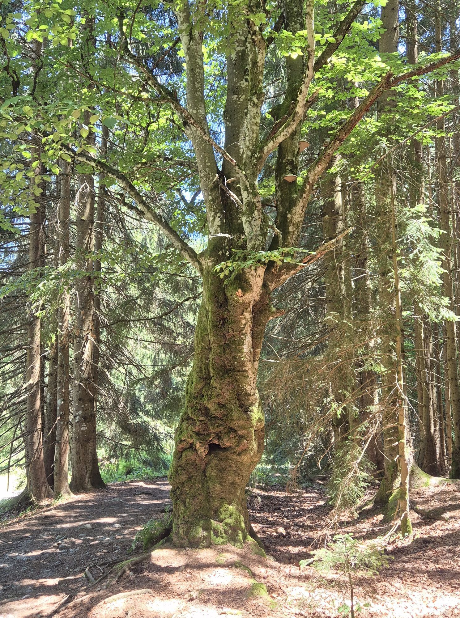
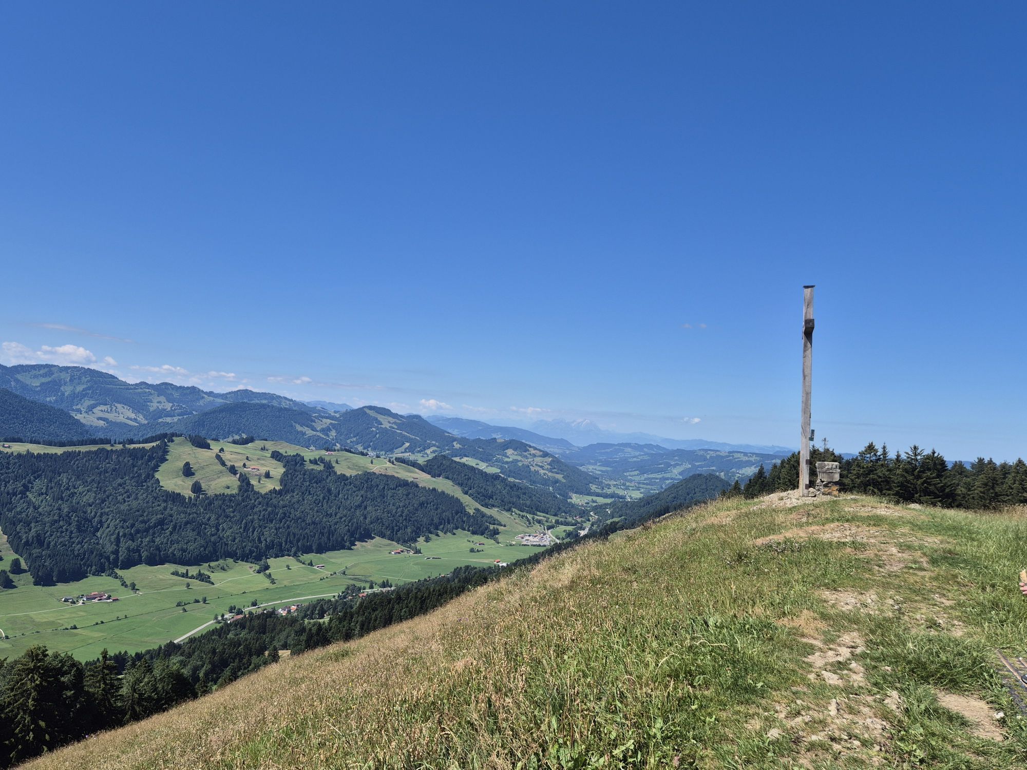
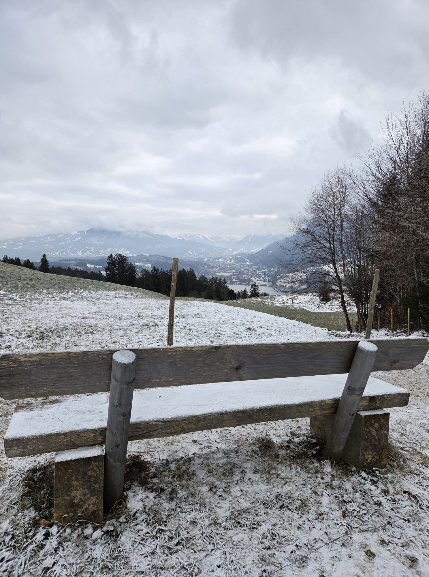
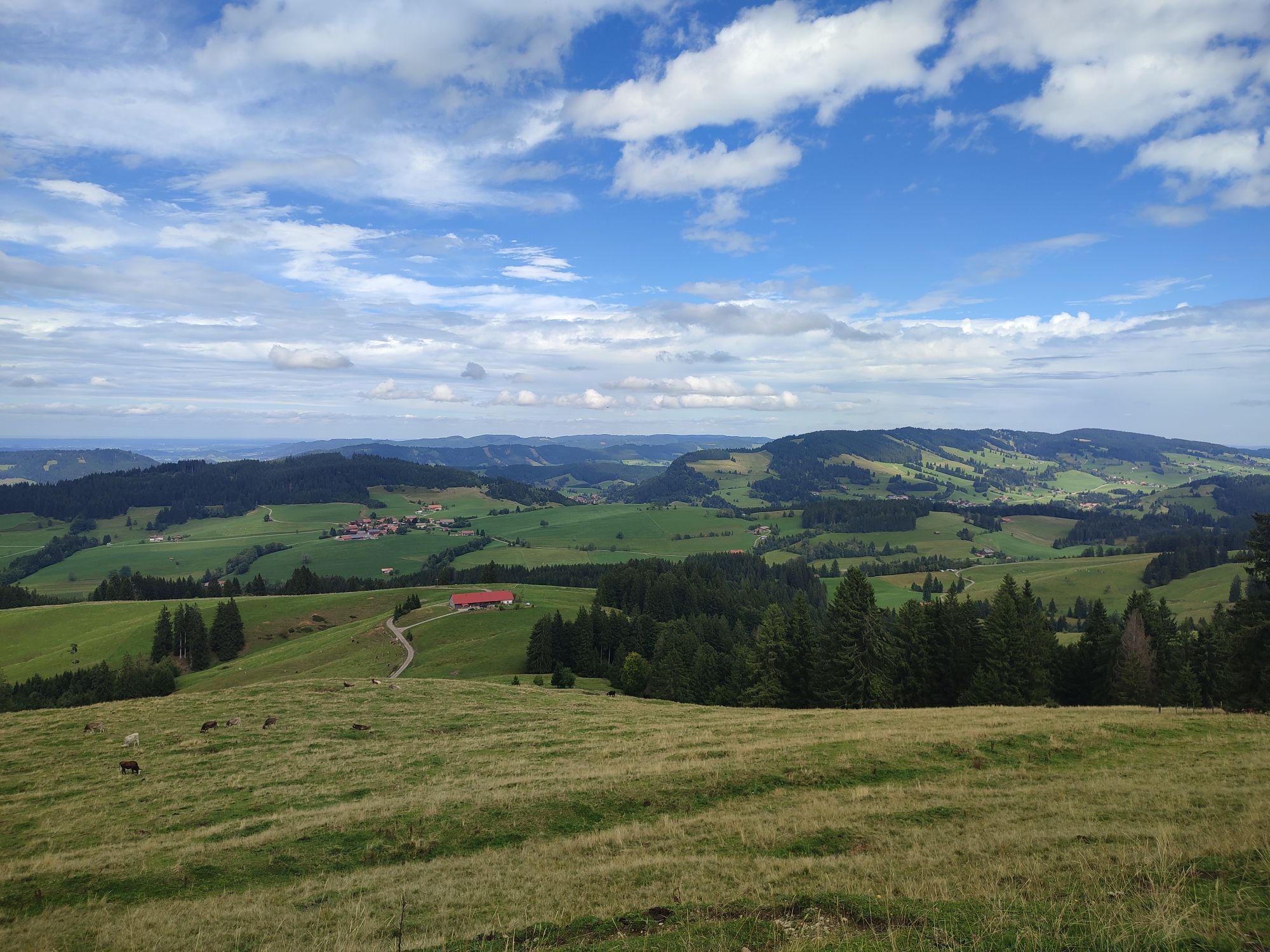


Ausgangspunkt der Tour ist das Naturparkzentrum Nagelfluhkette in Bühl. Von dort führt die Strecke zunächst über den Fischerweg bis zum Hotel Rothenfels. Hier links abbiegen und über die ST 2006 bergauf...
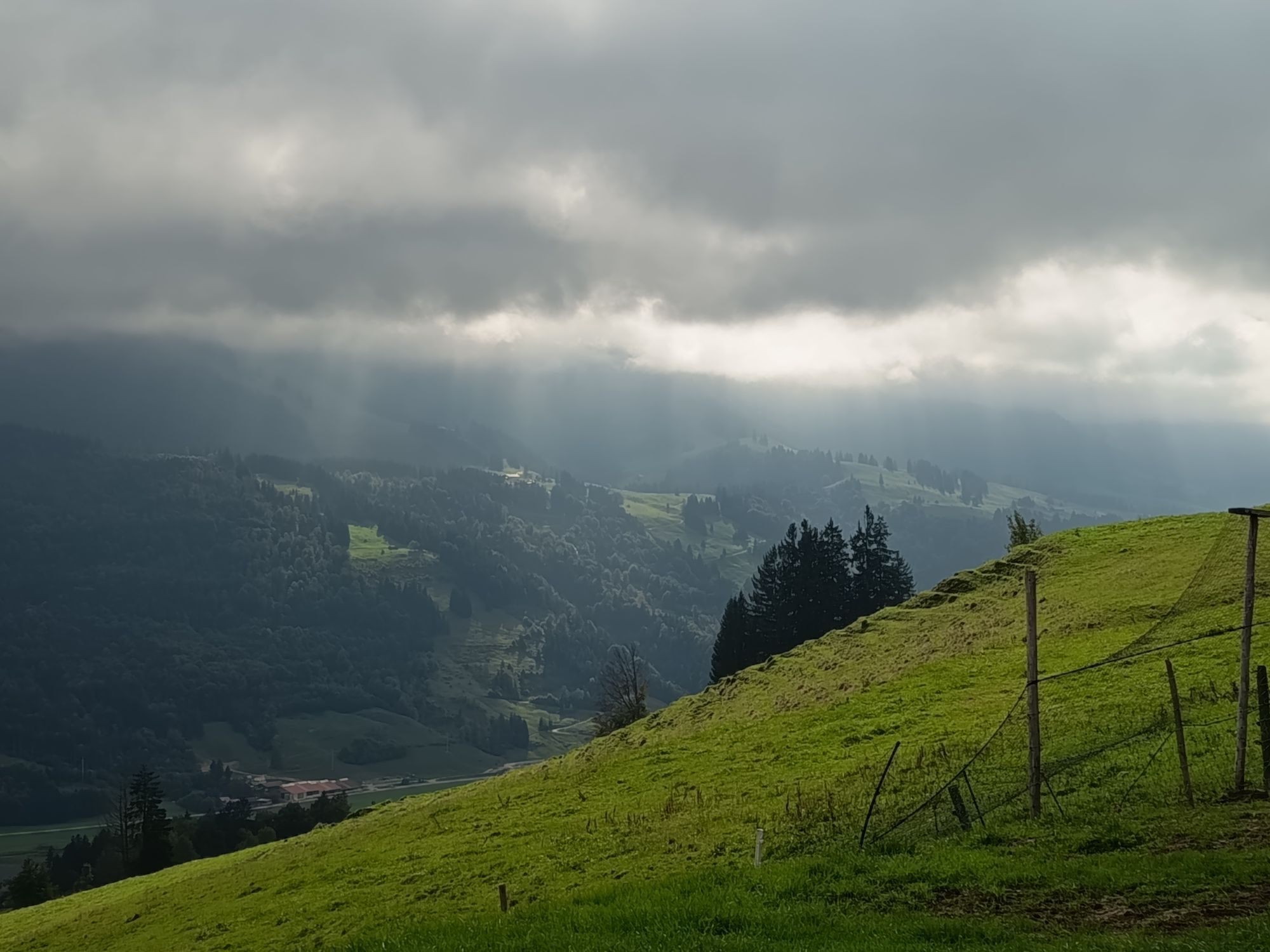
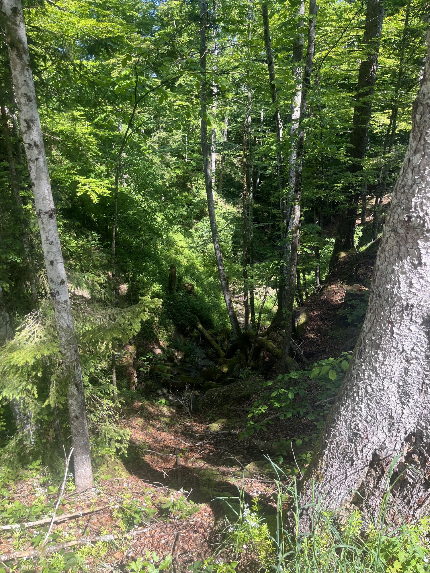
Die Siedelalpe wird rechter Hand passiert. Anschließend verläuft die Route über Wiesenwege und hackschnitzelbelegte Waldwege. Durch das Moos geht es weiter in Richtung Pfarralpe. Sobald die Hütte in Sicht kommt, an der Weggabelung rechts auf der geteerten Straße bergab fahren. Achtung: Die Abzweigung nach links in Richtung Holdalpe nicht verpassen! Über Wiesen und durch Wälder geht es erneut bergauf, bis der Wald verlassen wird und der Schlepplift „Thaler Höhe“ in Sicht kommt. Über die Lifttrasse führt die Strecke im Zickzack hinunter zur Talstation und weiter in die Talstraße am Jugetbach.
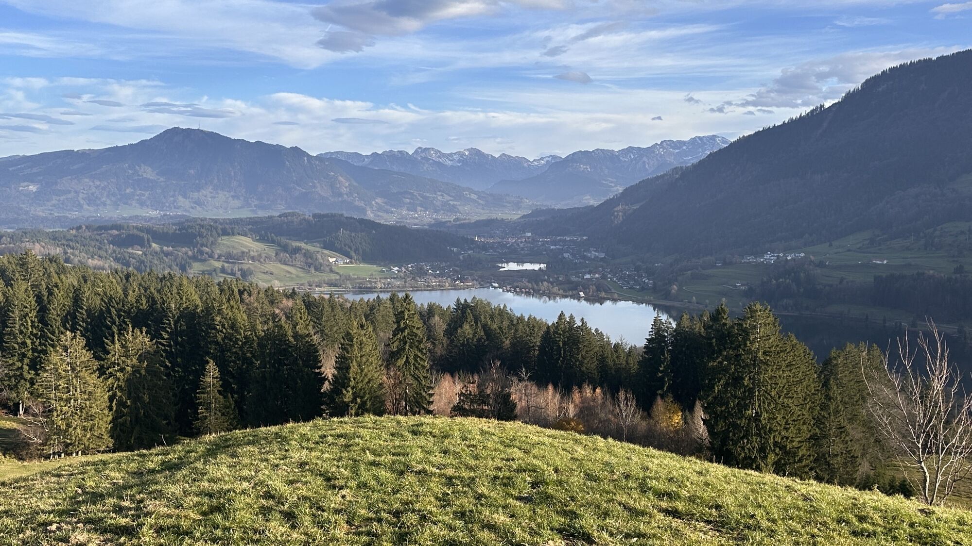
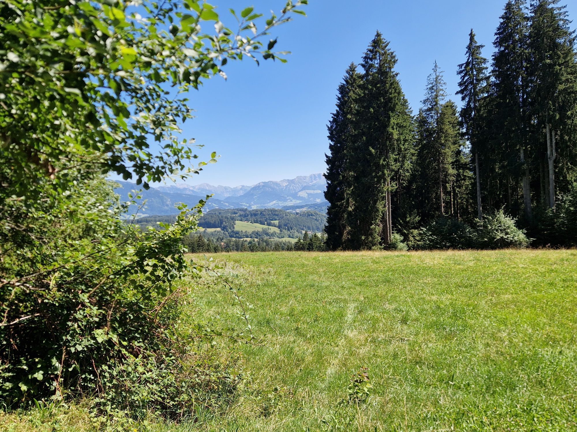
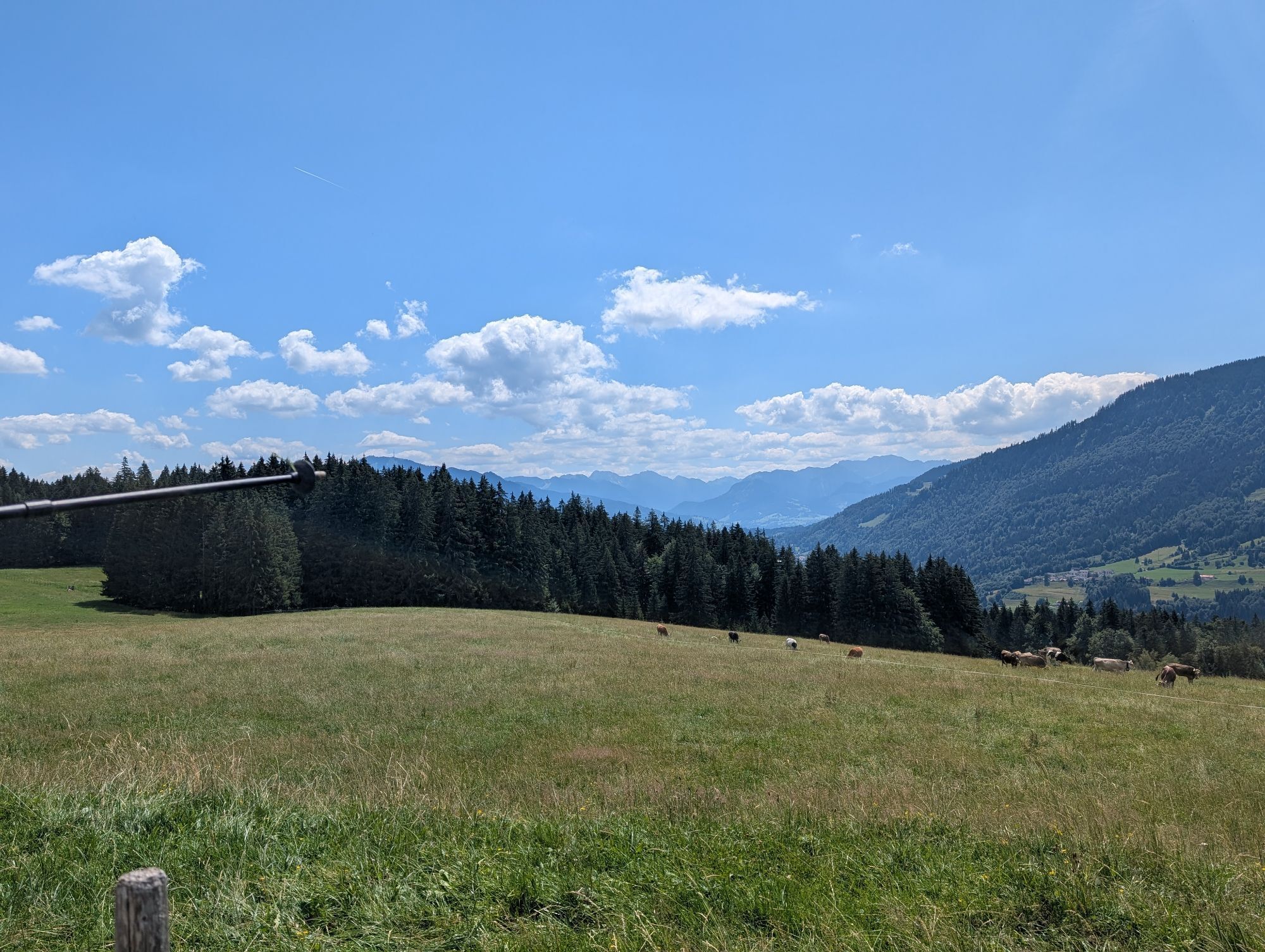
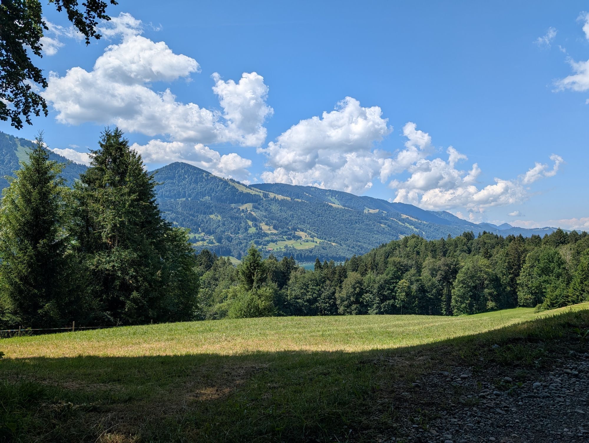
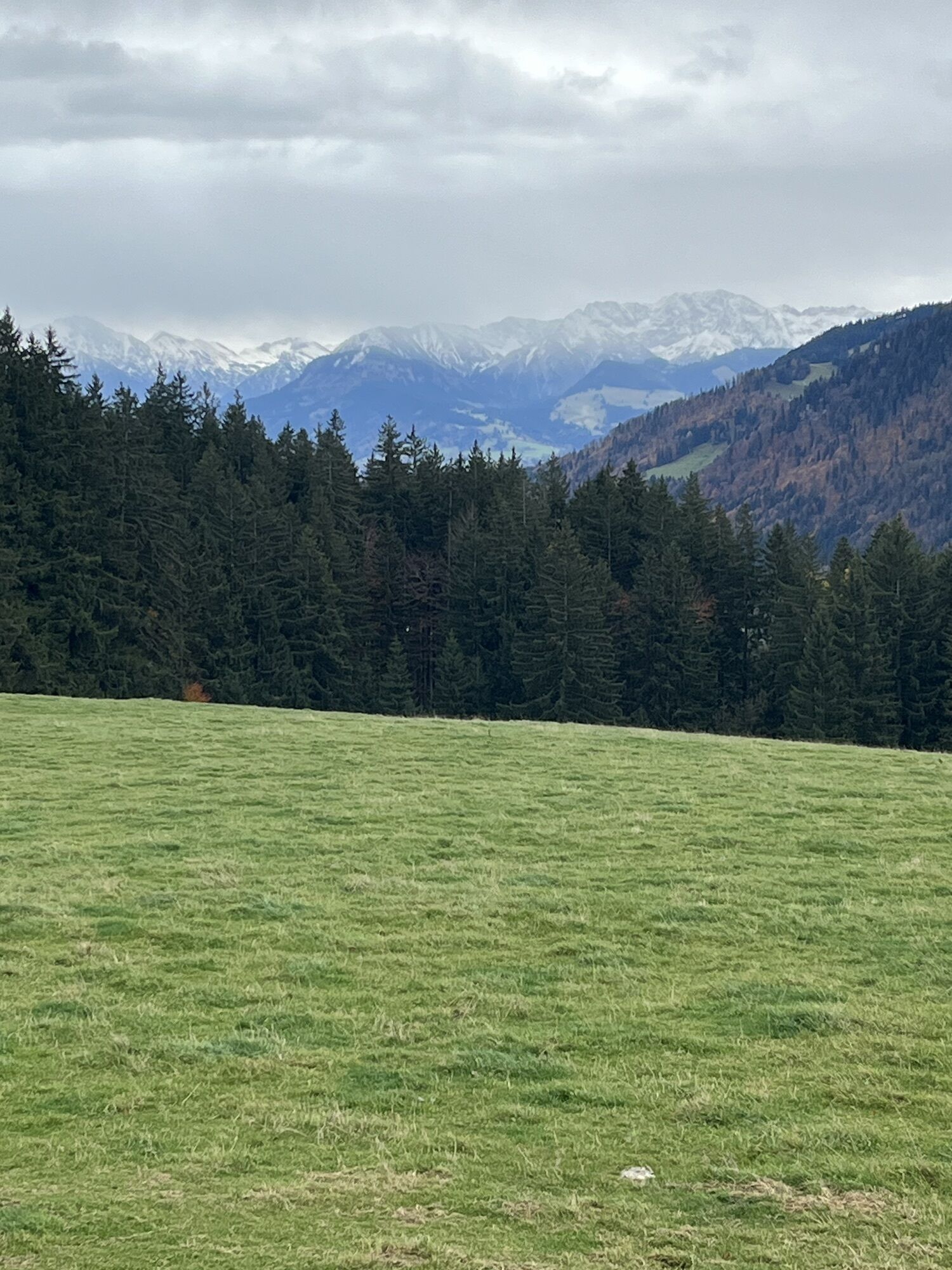
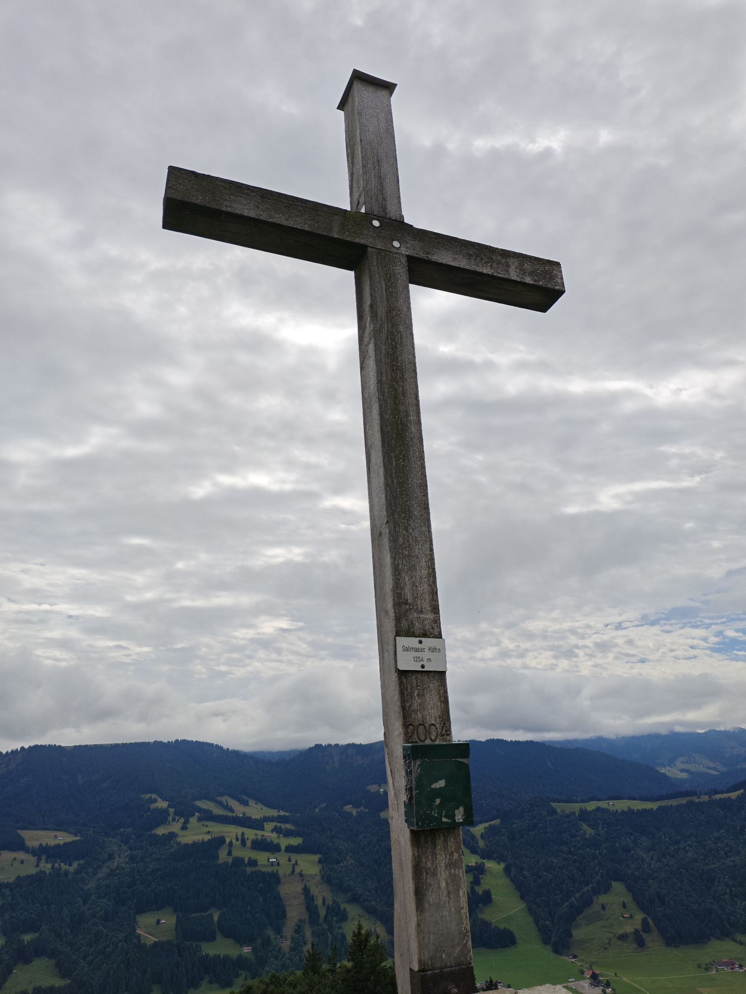
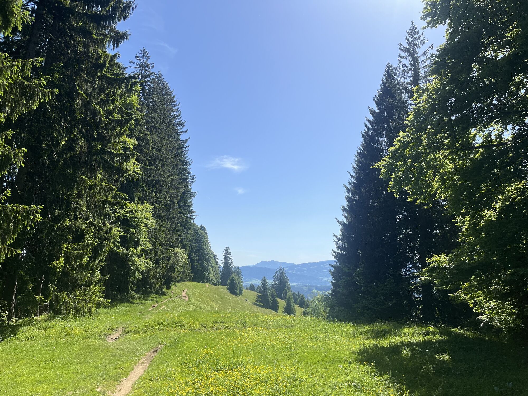
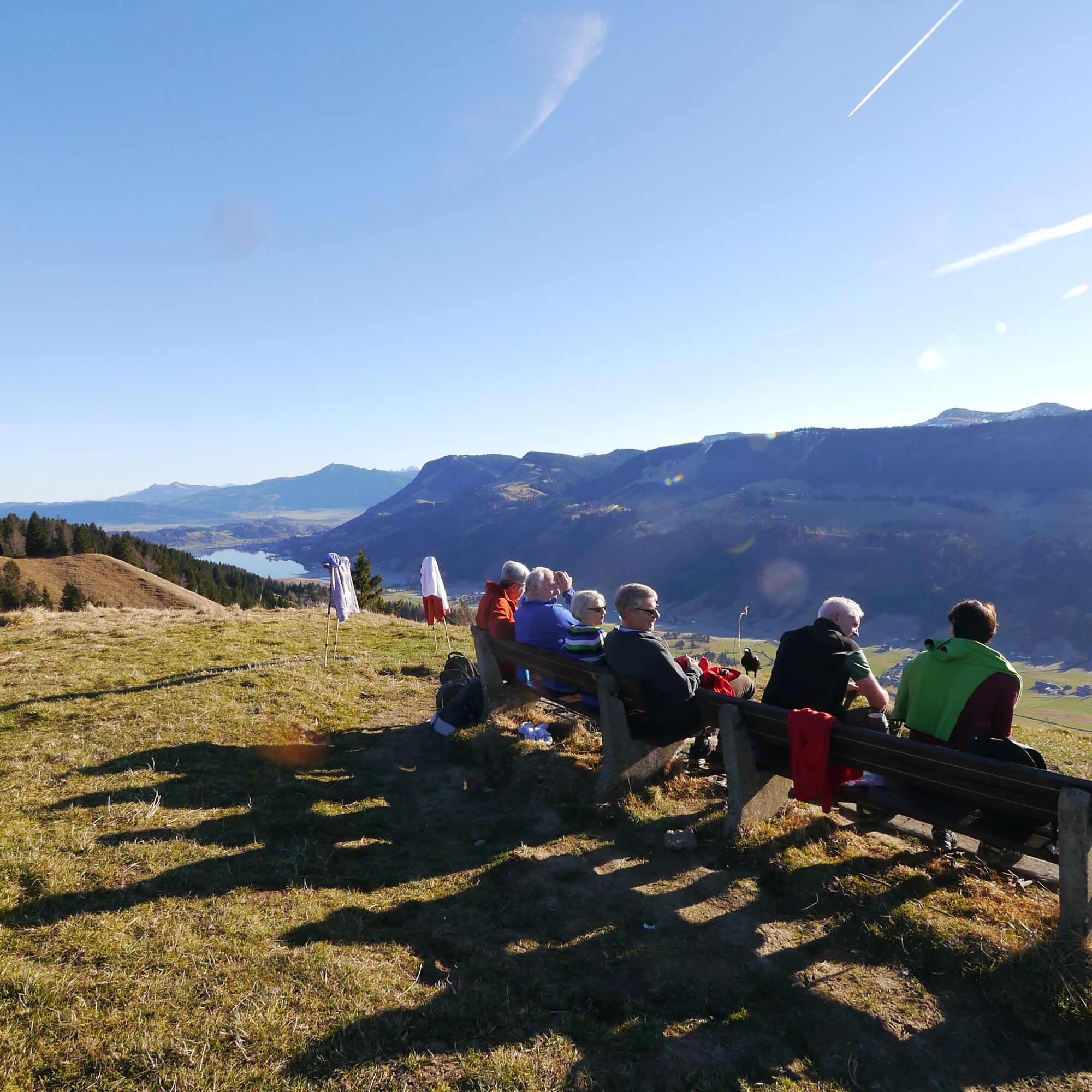
Nun rollen abwechslungsreiche Wald- und Wiesenwege bergab, bevor die Route an der Untereibele Alpe wieder leicht ansteigt und das Bachschwandeneck umrundet. Entlang des Höhenrückens und nach einer steilen Abfahrt wird die Hirnbein-Alpe erreicht. Jetzt wartet eine knackige Steigung über eine mulchige Wiese bis zur Salmaser Höhe. An einigen Stellen ist Schieben erforderlich, doch der herrliche Weitblick bis in die Schweizer Berge und der Tiefblick ins Tal entschädigen für die Anstrengung. Am Höhenrücken angekommen, folgt eine anspruchsvolle Abfahrt über wurzelige Trails und knifflige Passagen bis zum Aussichtspunkt „Seeblick“.
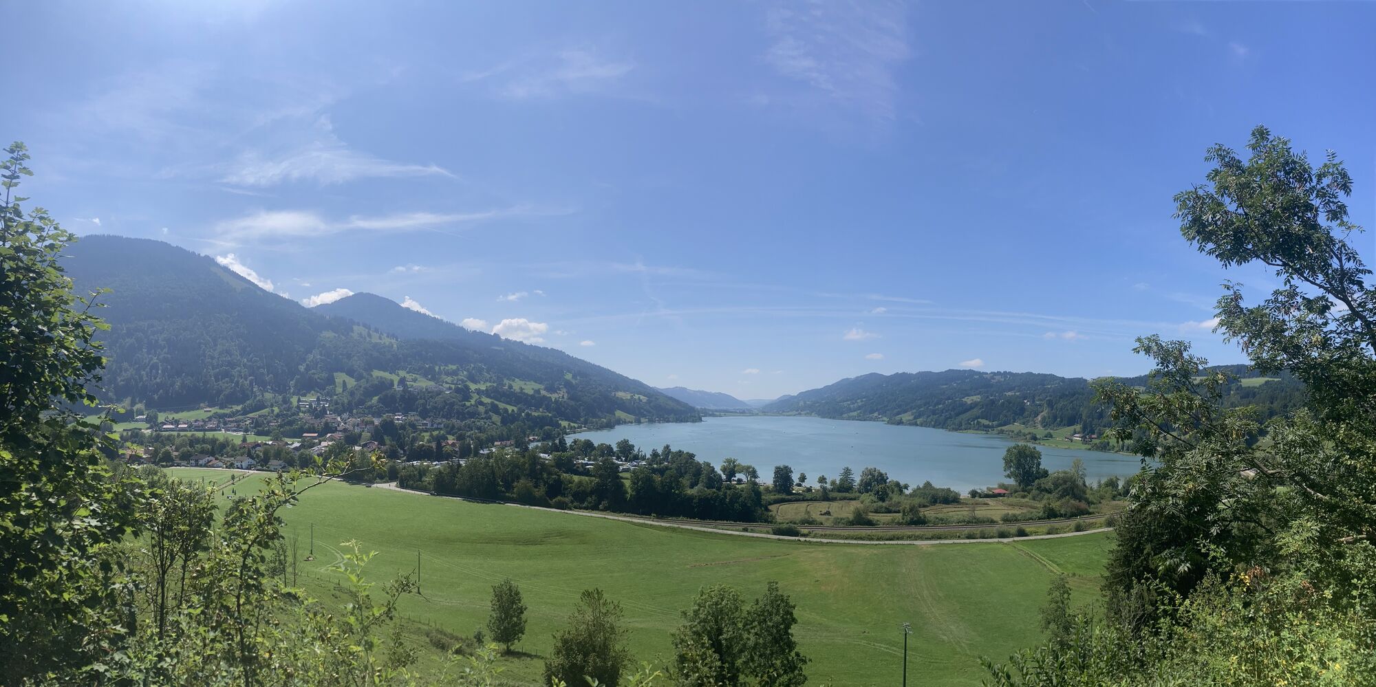
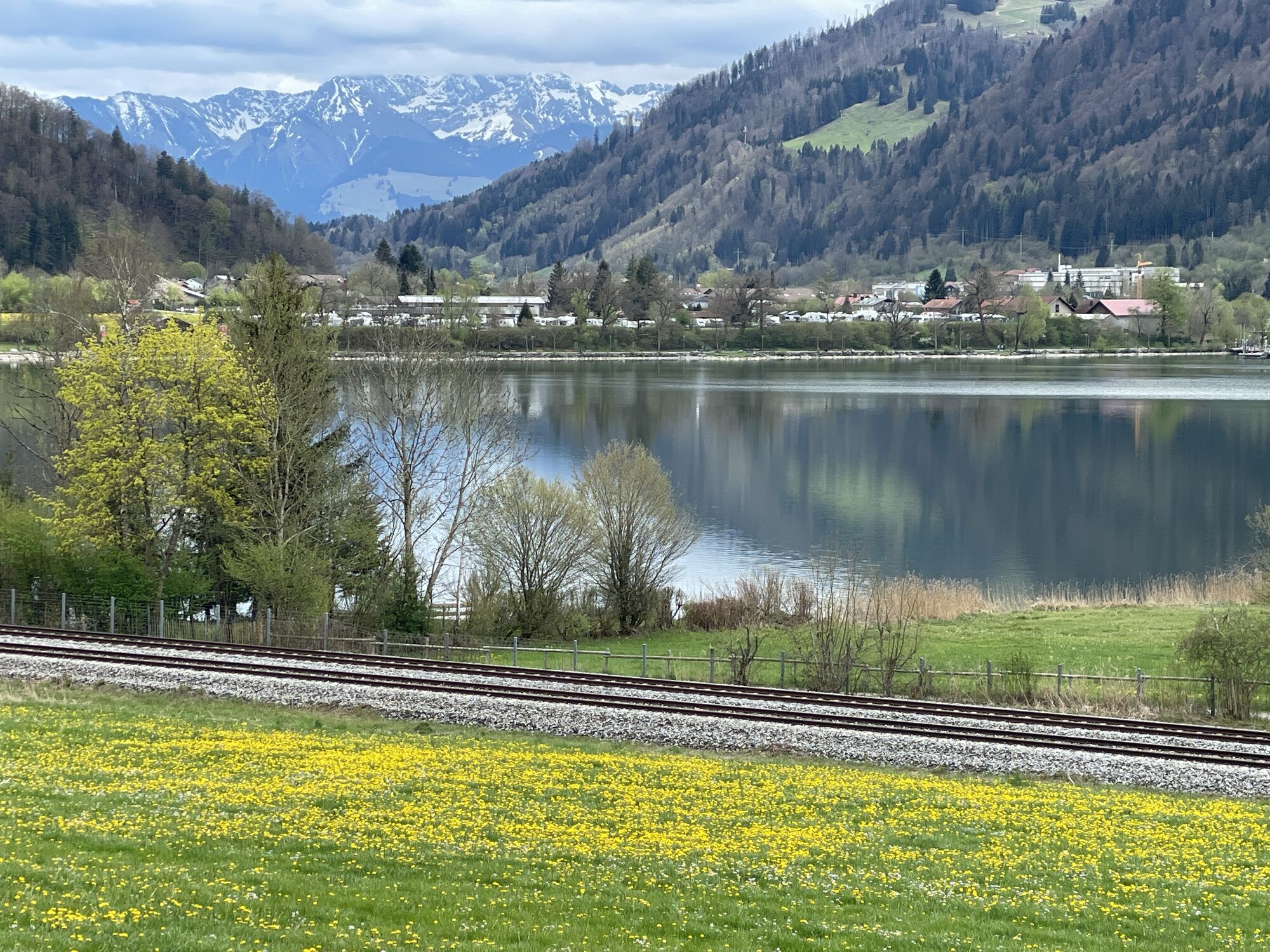
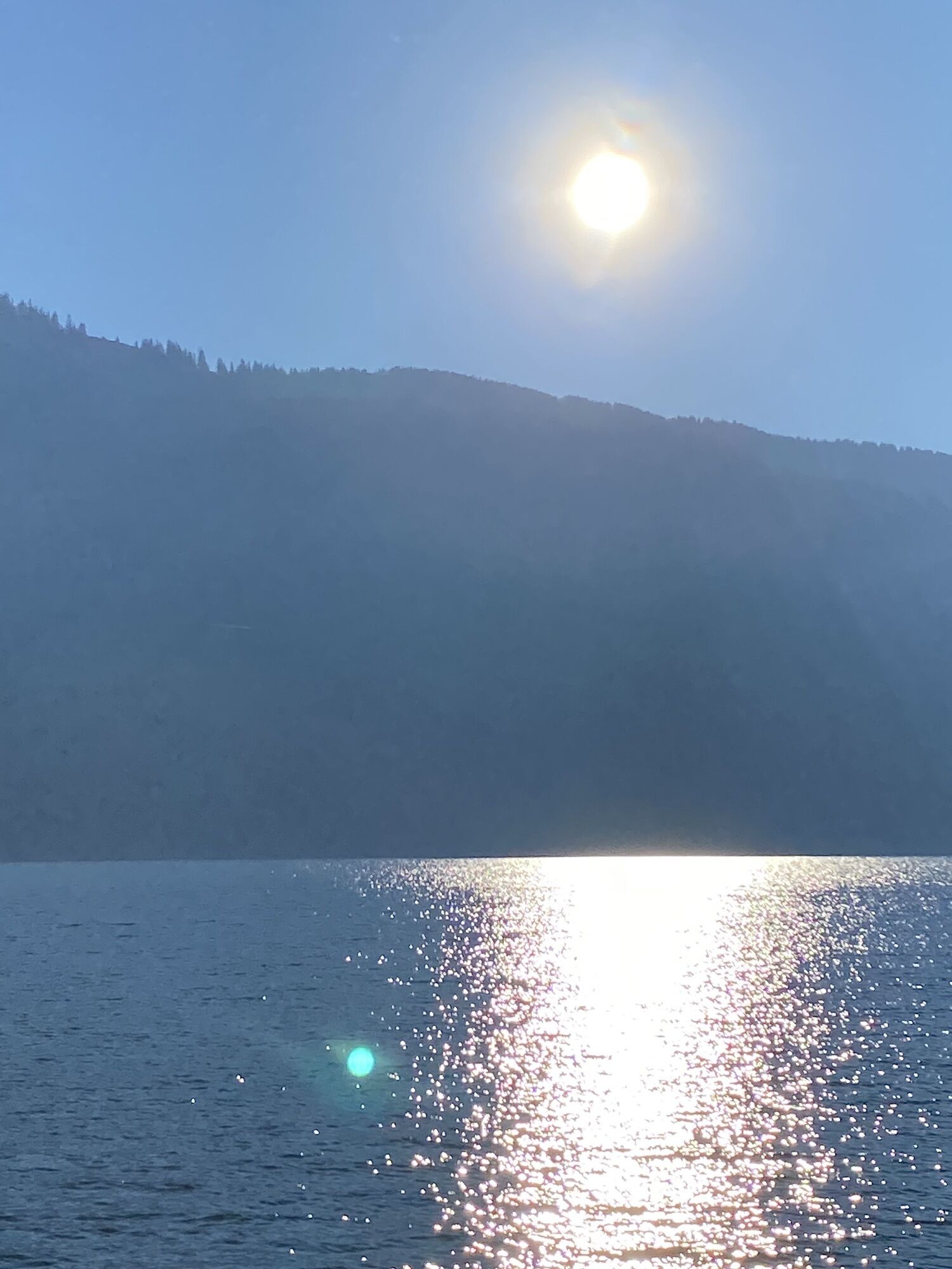
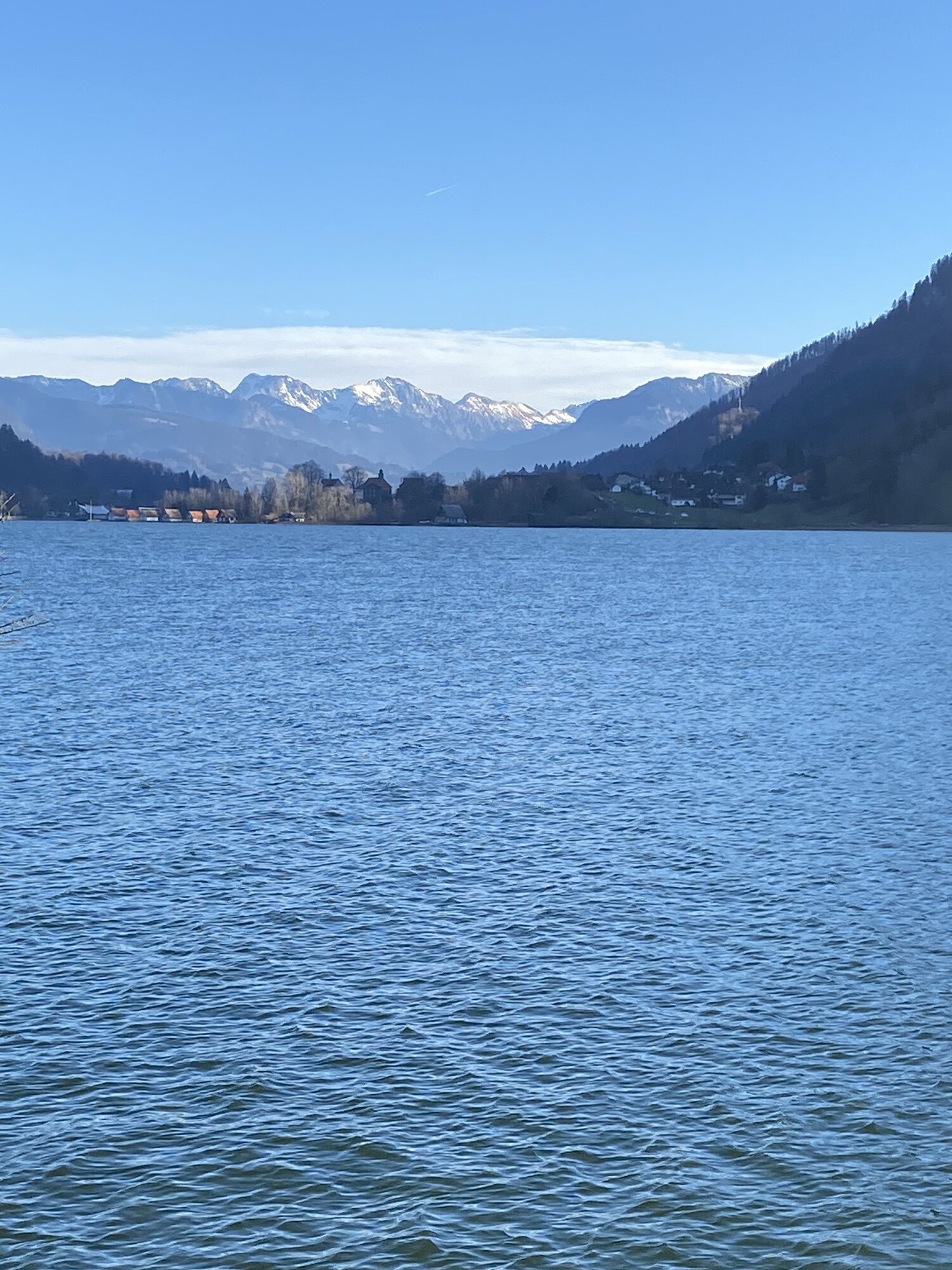
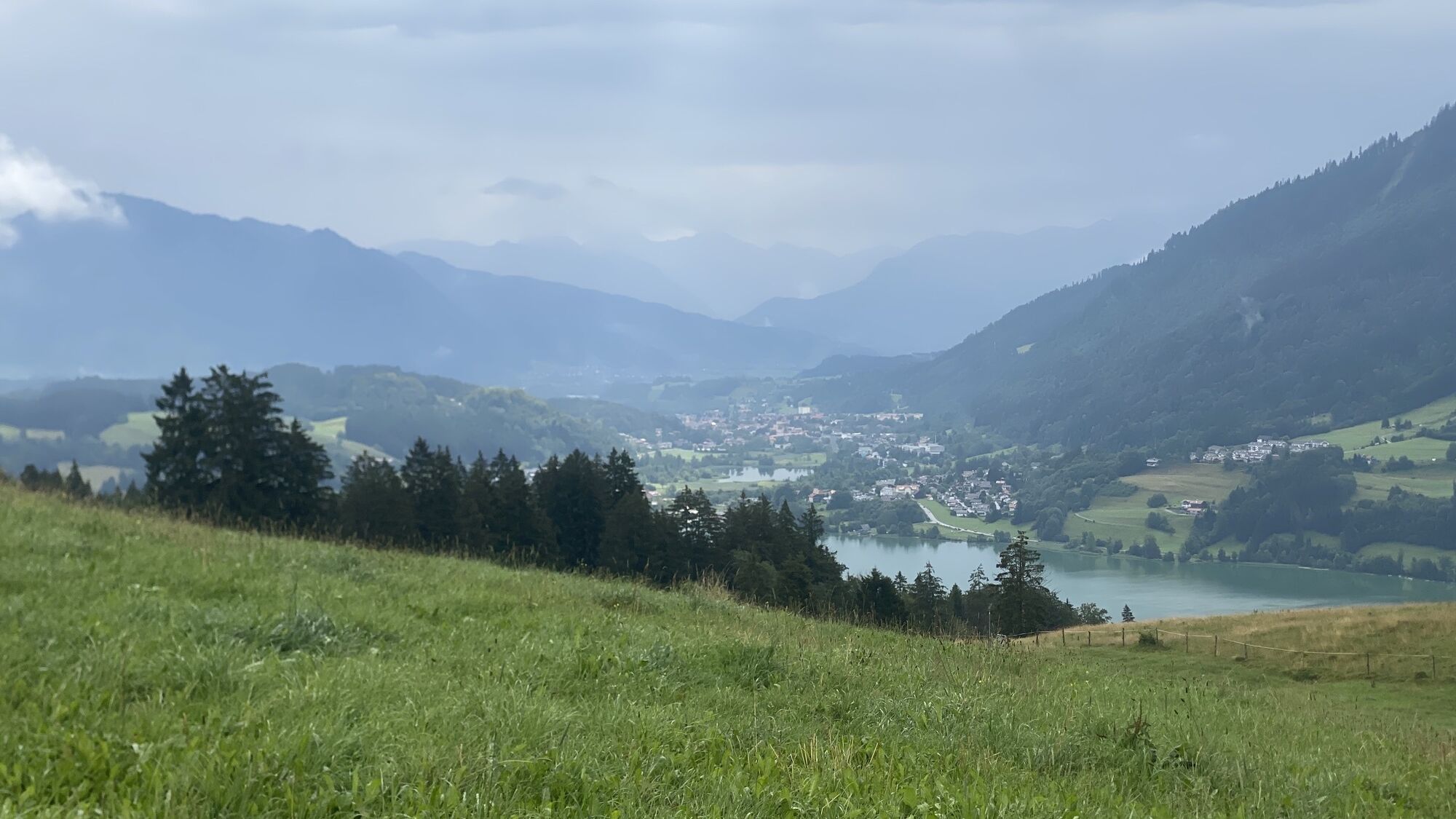
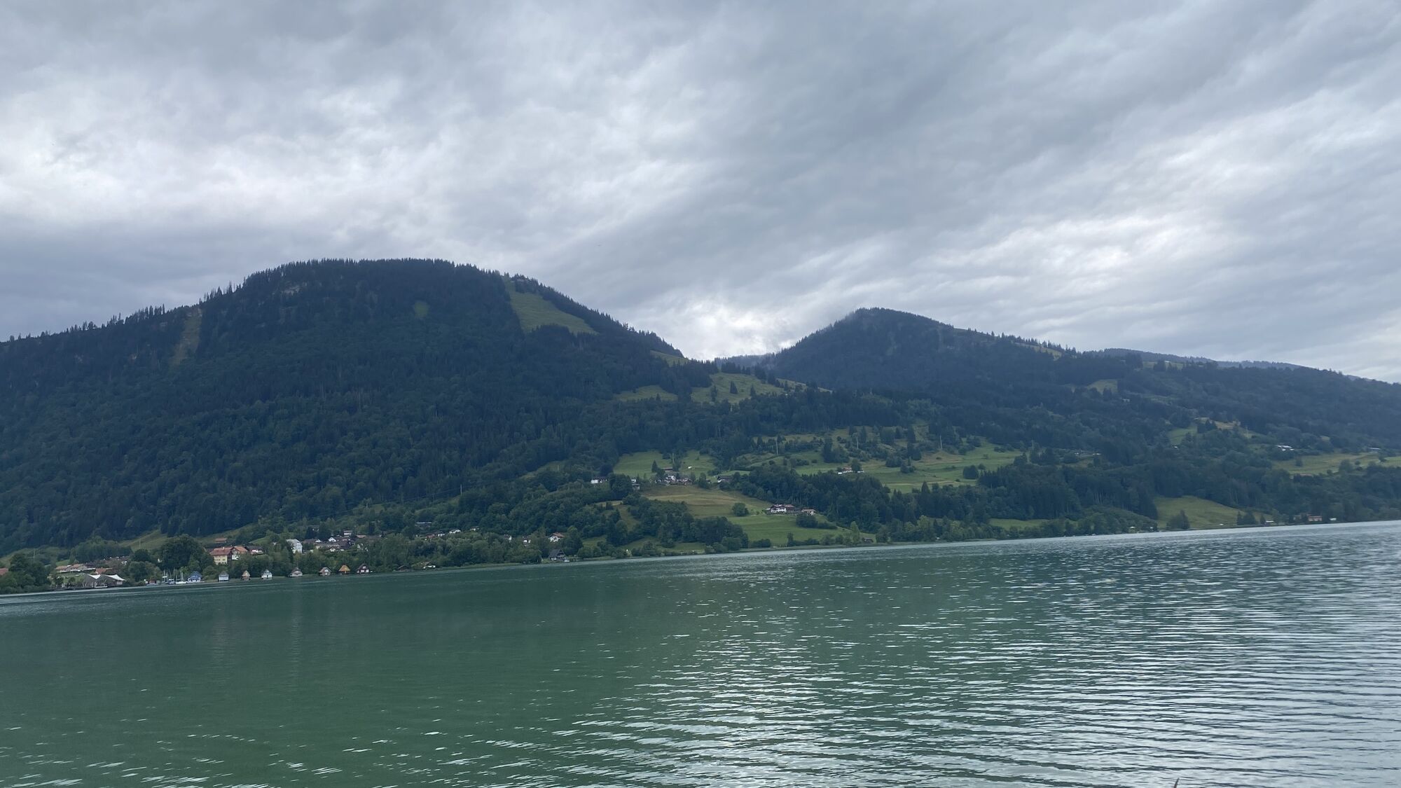
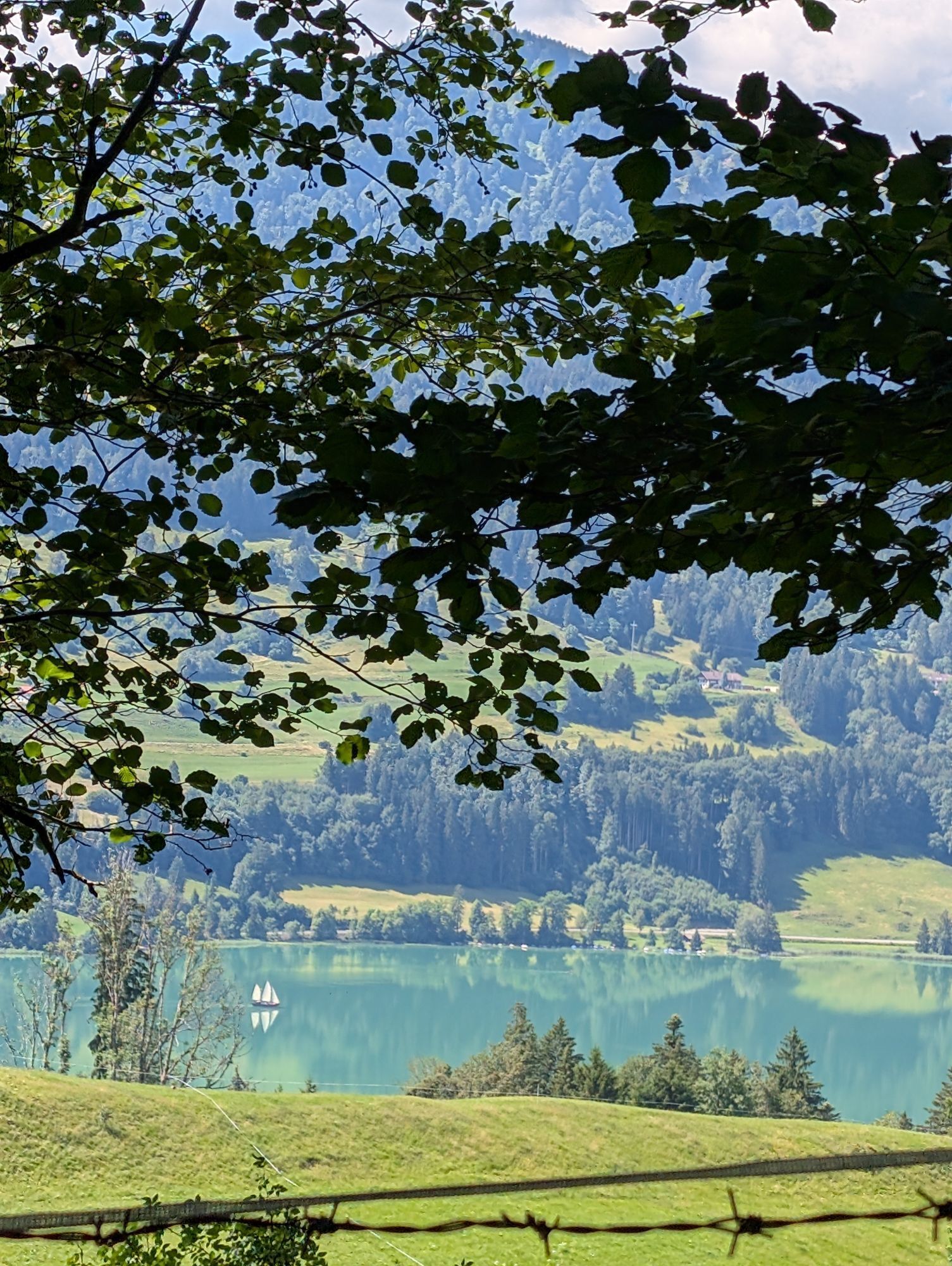
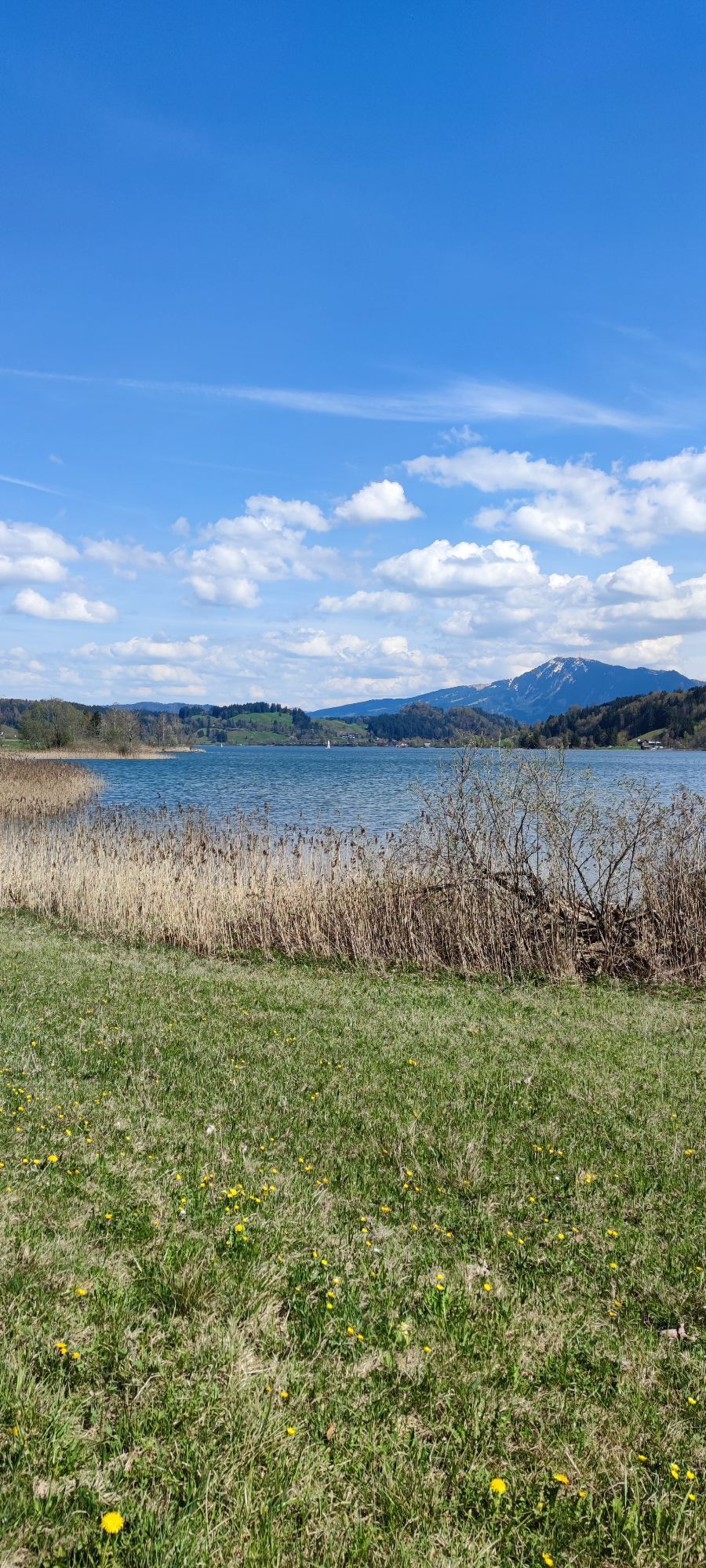
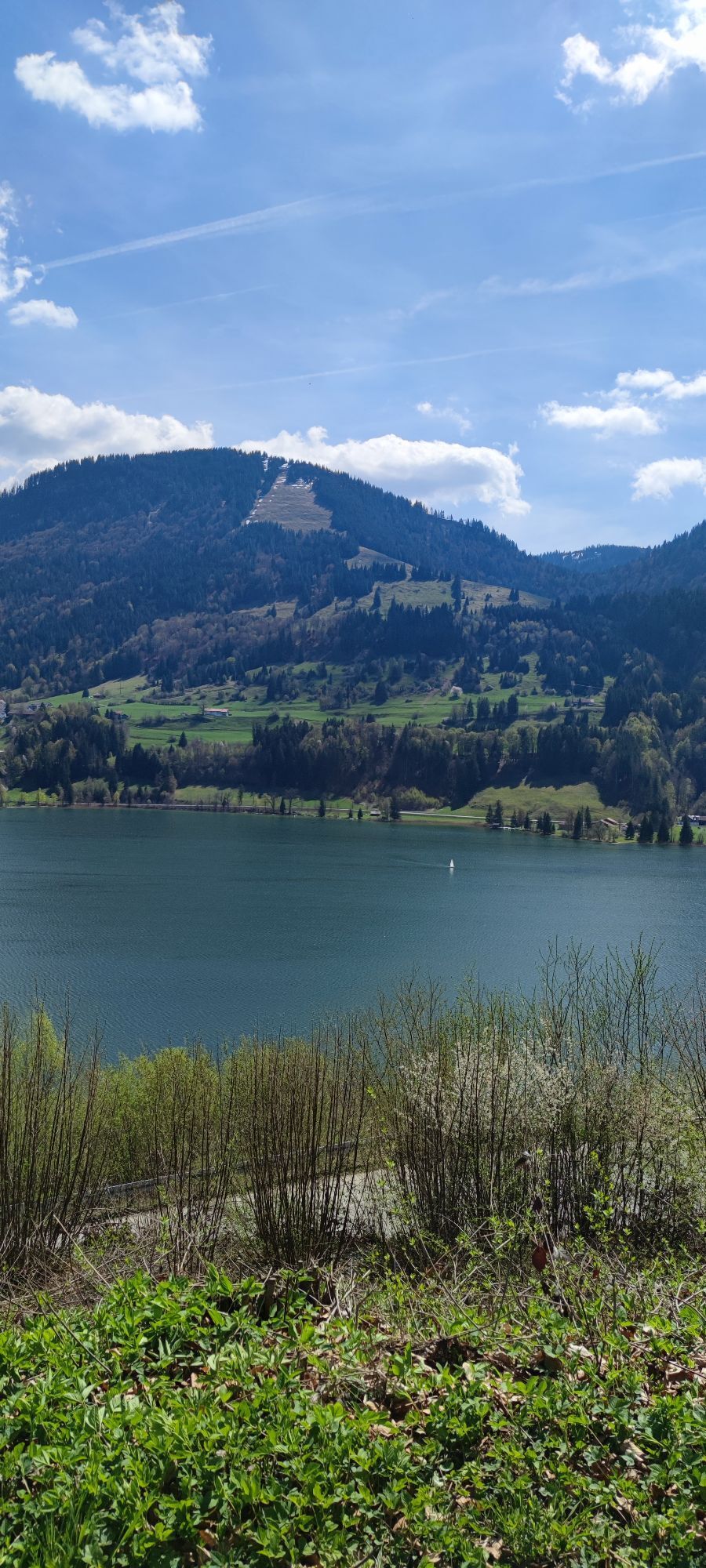
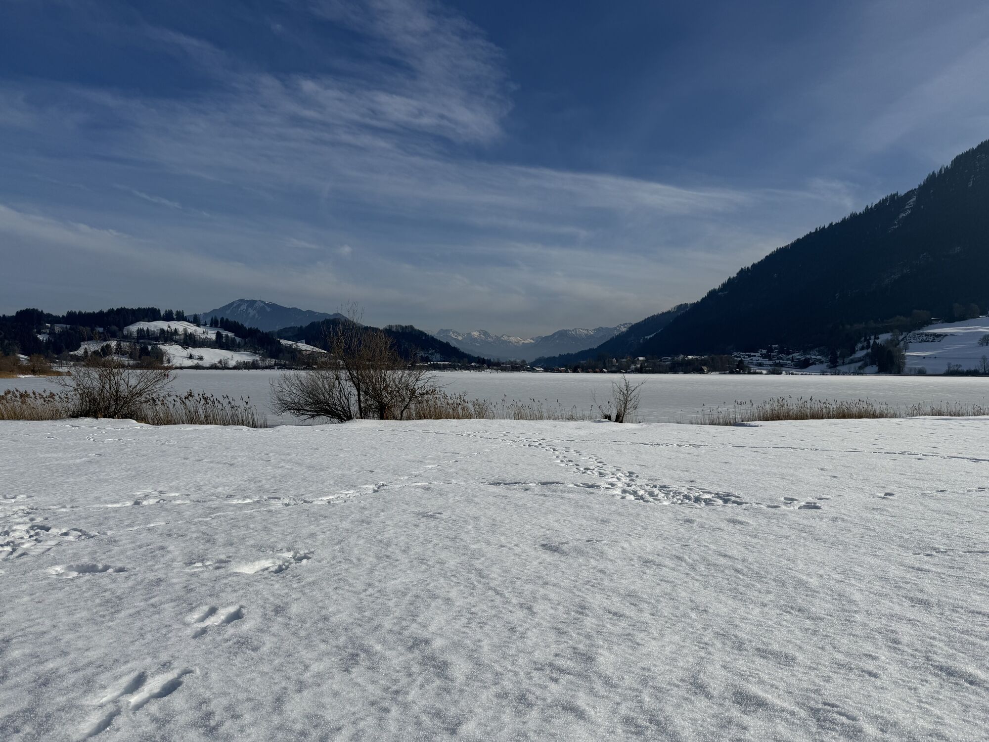
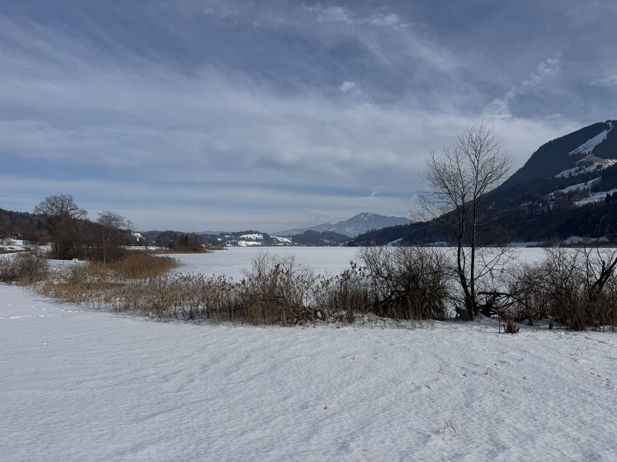
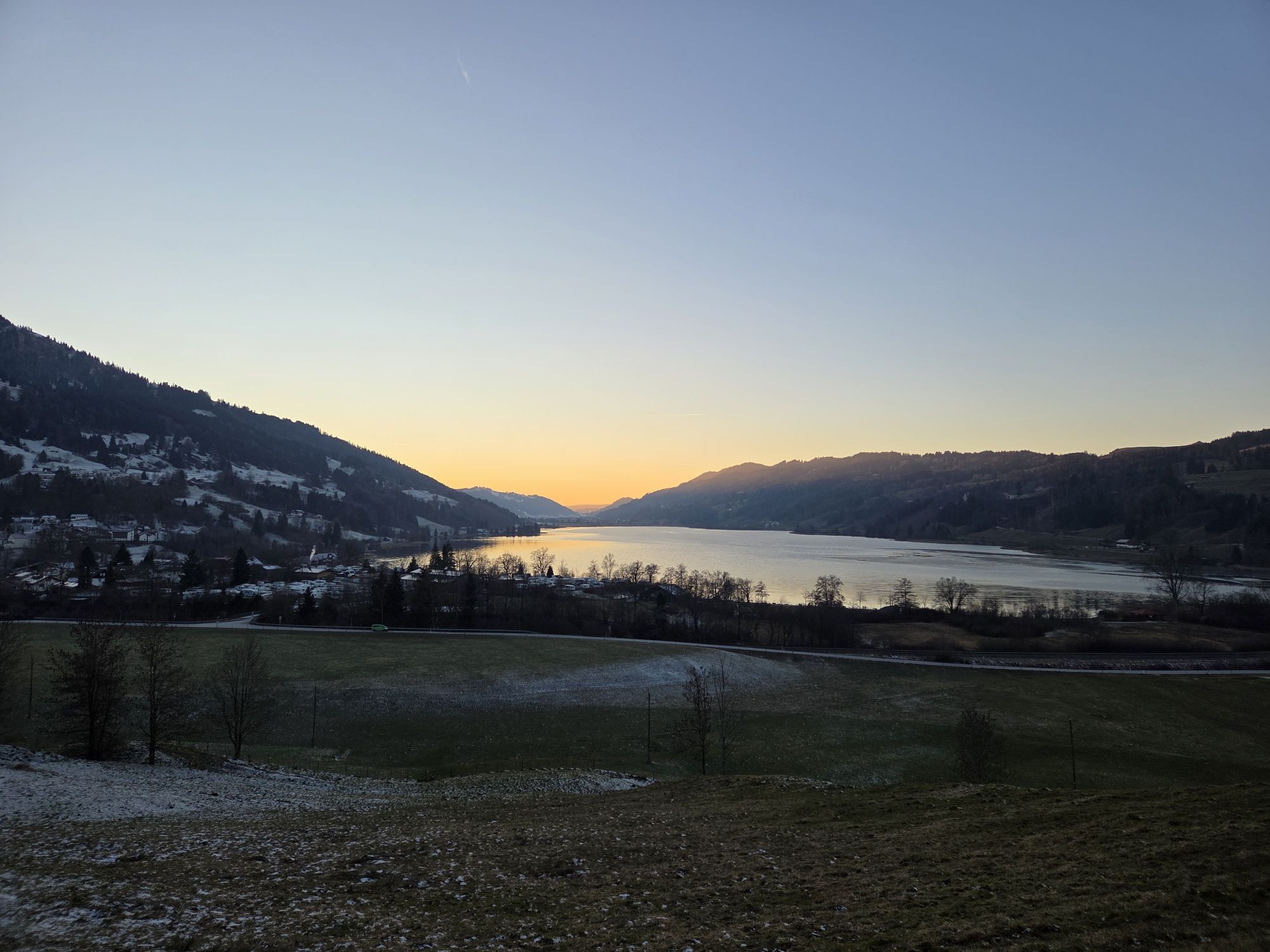
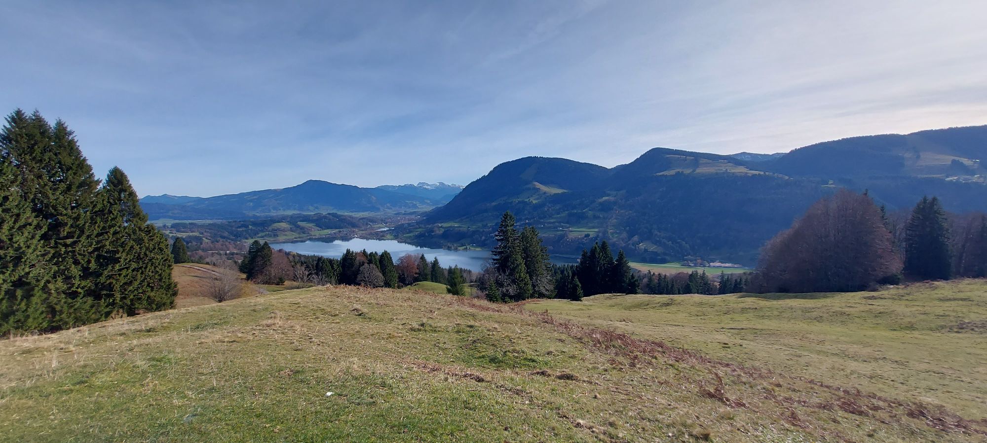
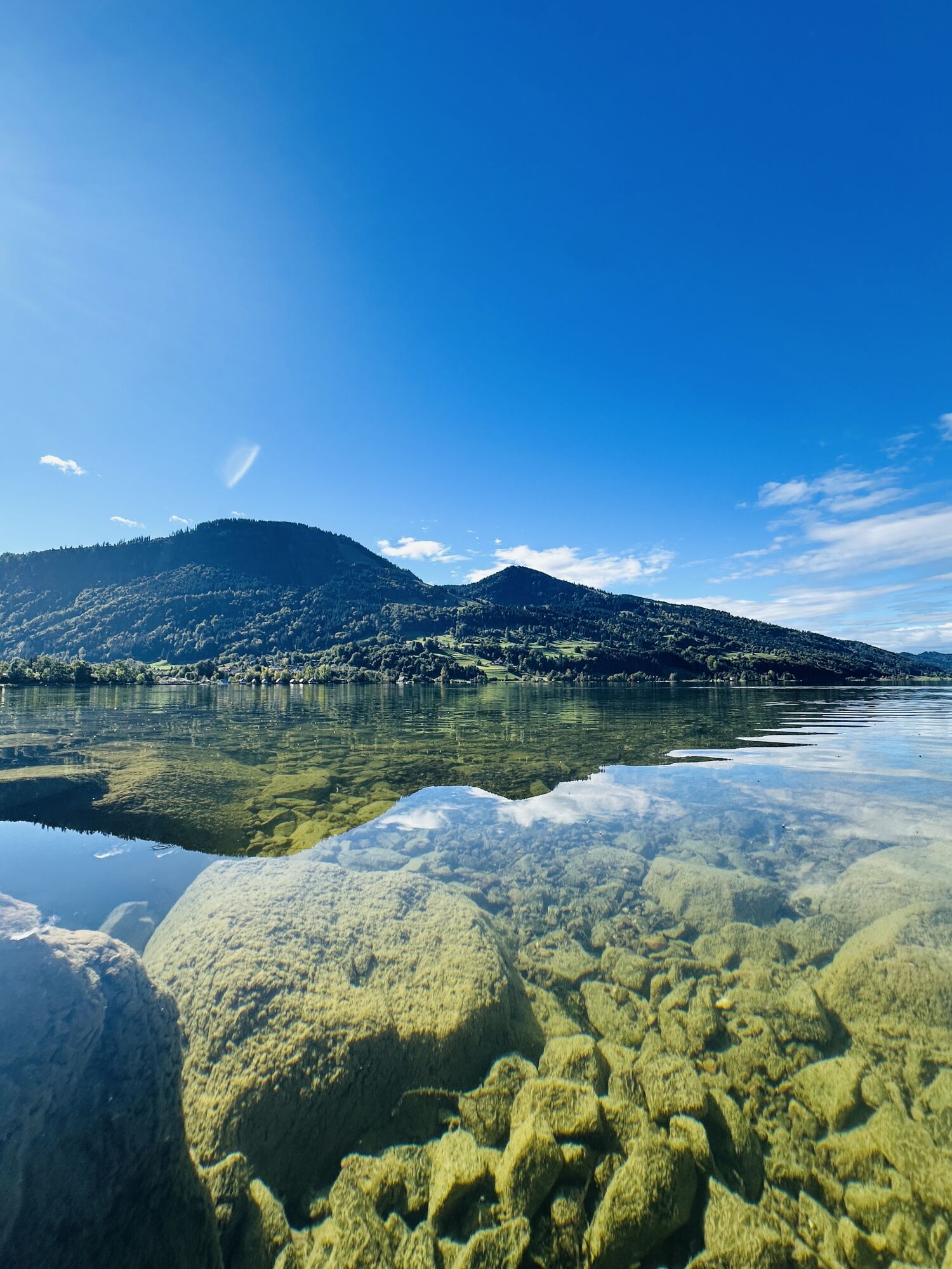
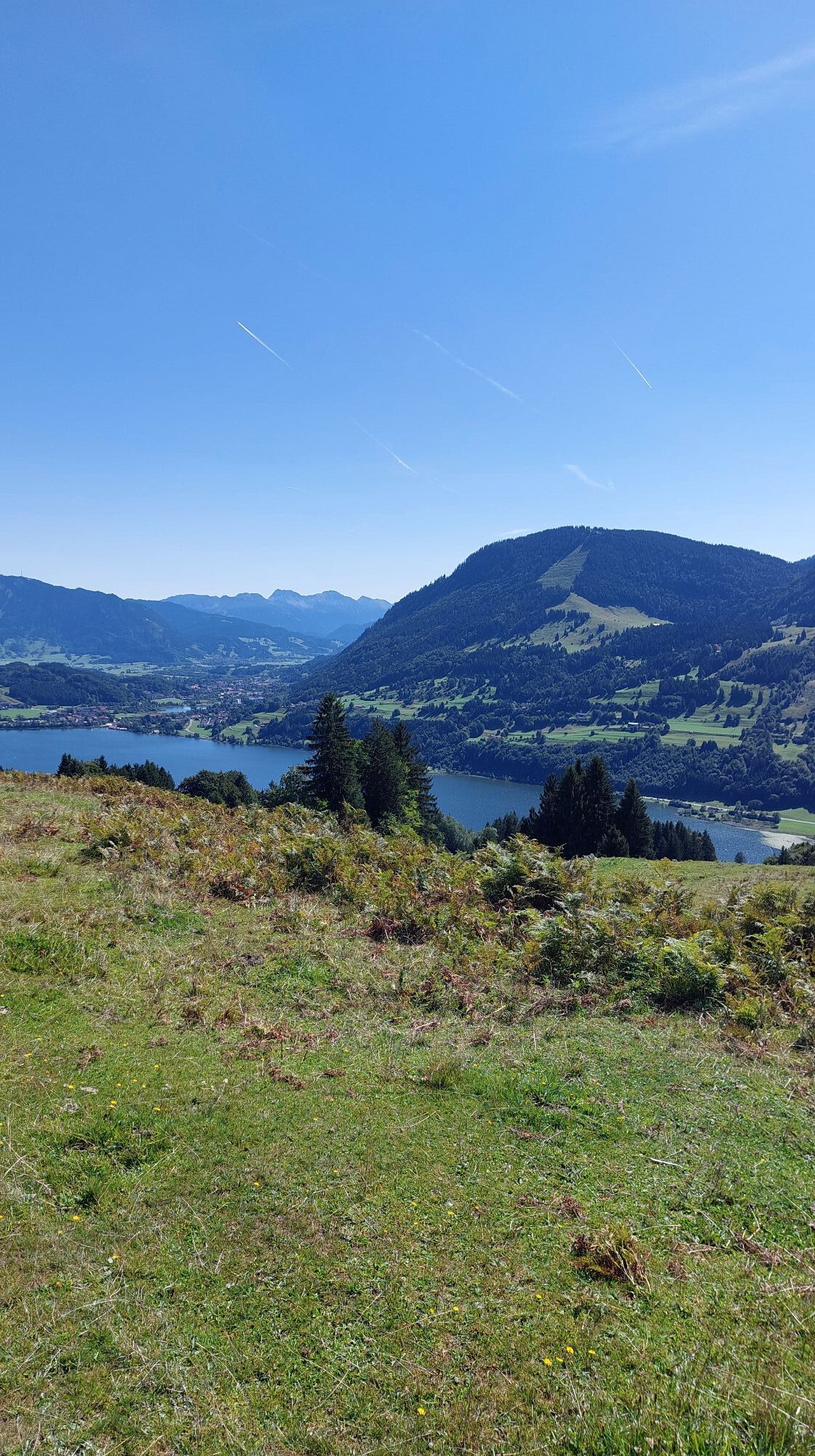
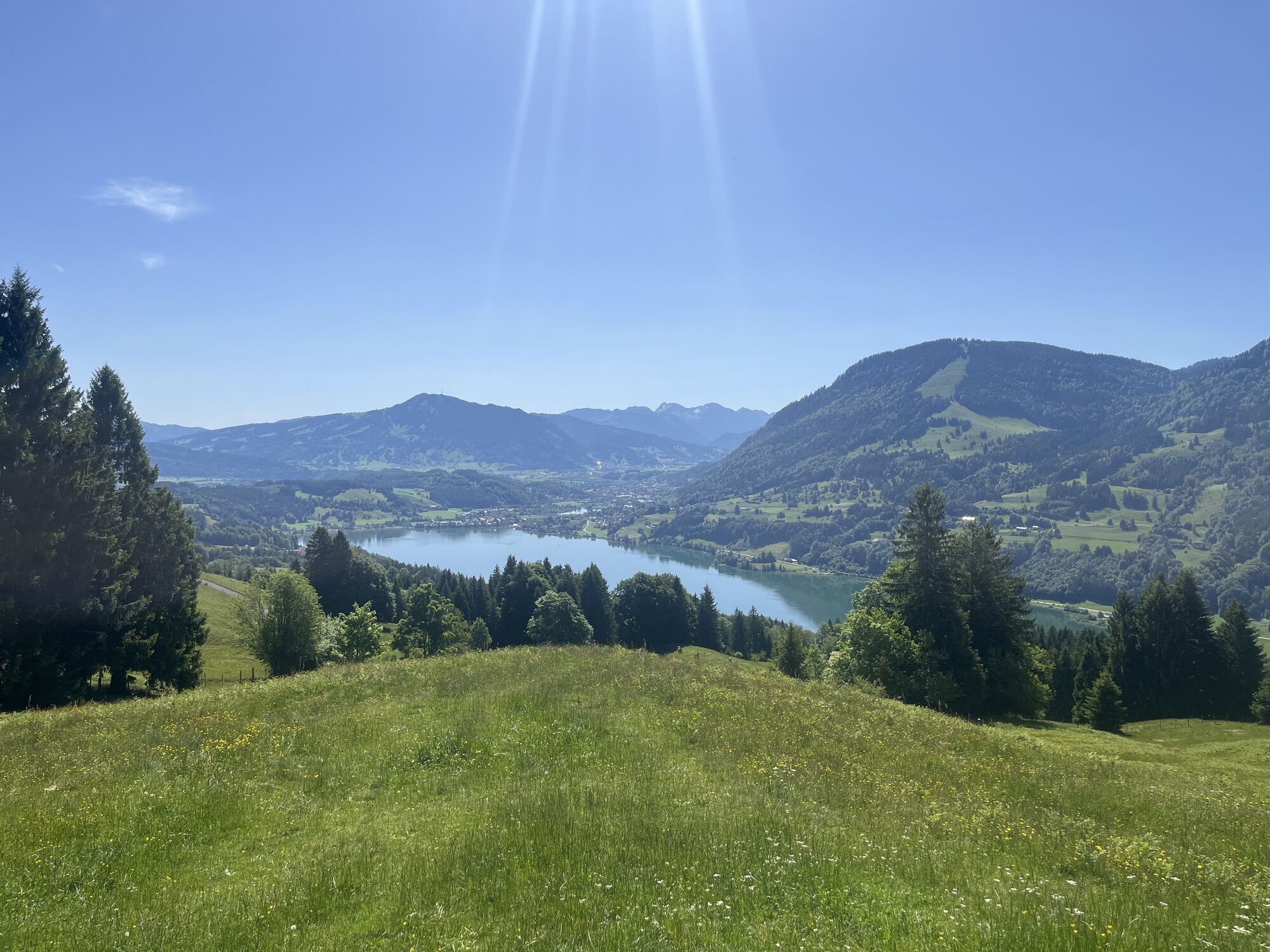
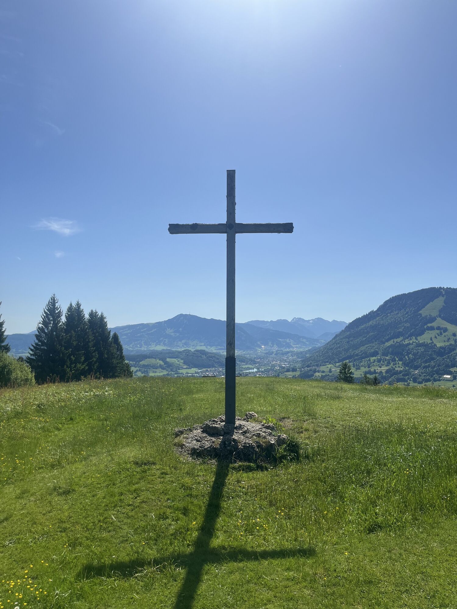
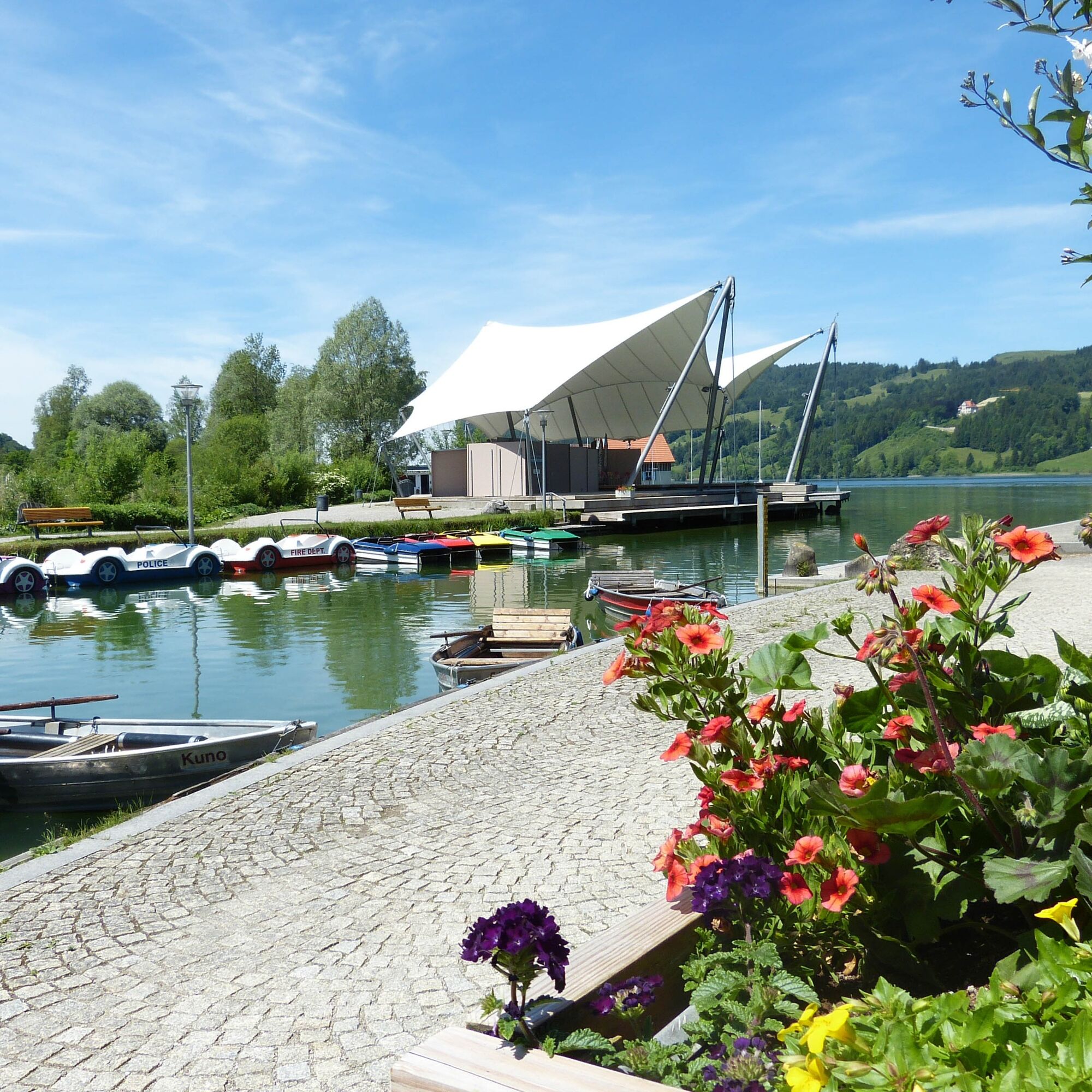
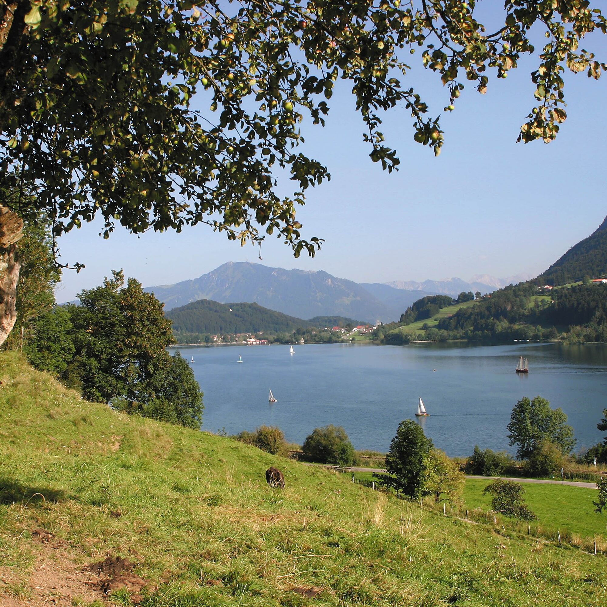
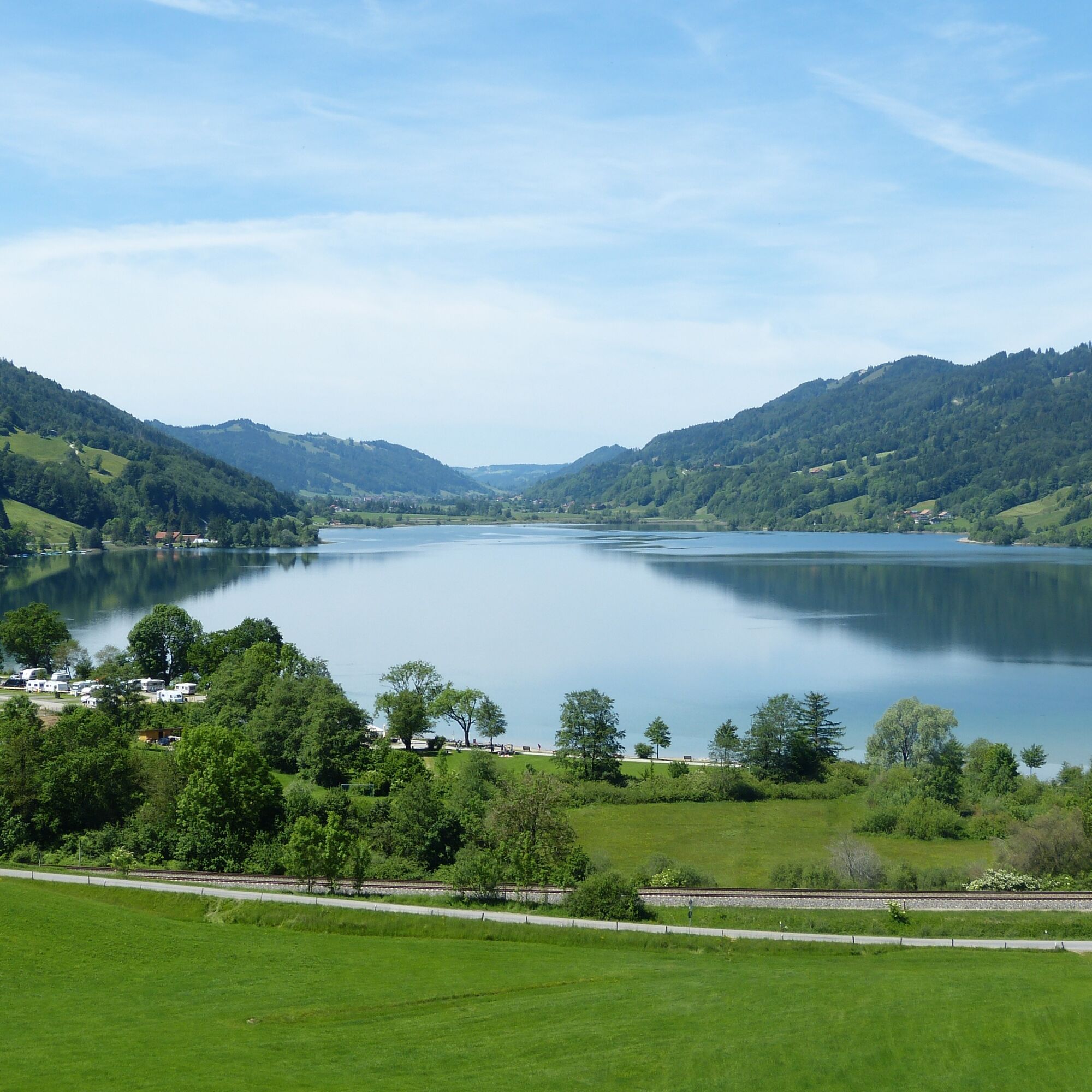
Rund 300 Meter tiefer glitzert der Große Alpsee – der größte Natursee im Allgäu. Im Osten reichen die Blicke zu den Hindelanger Bergen, im Westen bis in die Schweizer Alpen und zum Alpstein. Der kurze Stichweg führt zurück auf die Route, anschließend links bergab in Richtung Ratholz. Von dort verläuft die Strecke zunächst über einen schottrigen Alpweg zur Hohenschwandalpe und anschließend auf Asphalt hinunter ins Konstanzer Tal. In Ratholz angekommen, führt der bekannte Bodensee-Königssee-Radweg entlang des Großen Alpsees entspannt zurück zum Naturparkzentrum Nagelfluhkette.
Hinweis: Die Tour verläuft über zahlreiche alpbewirtschaftete Wege. Besonders im Frühjahr und Herbst lässt sie sich angenehm befahren, da weniger Weidegatter und Kuhzäune passiert werden müssen. Während der rund 100 Tage Alpsommer ist hingegen häufiger Absteigen und Tragen des Mountainbikes erforderlich.

This mountain bike circuit offers steep climbs, flowing trail sections, and tricky descents. The route is recommended for light bikes—no recommendation for e-bikes or e-MTBs!
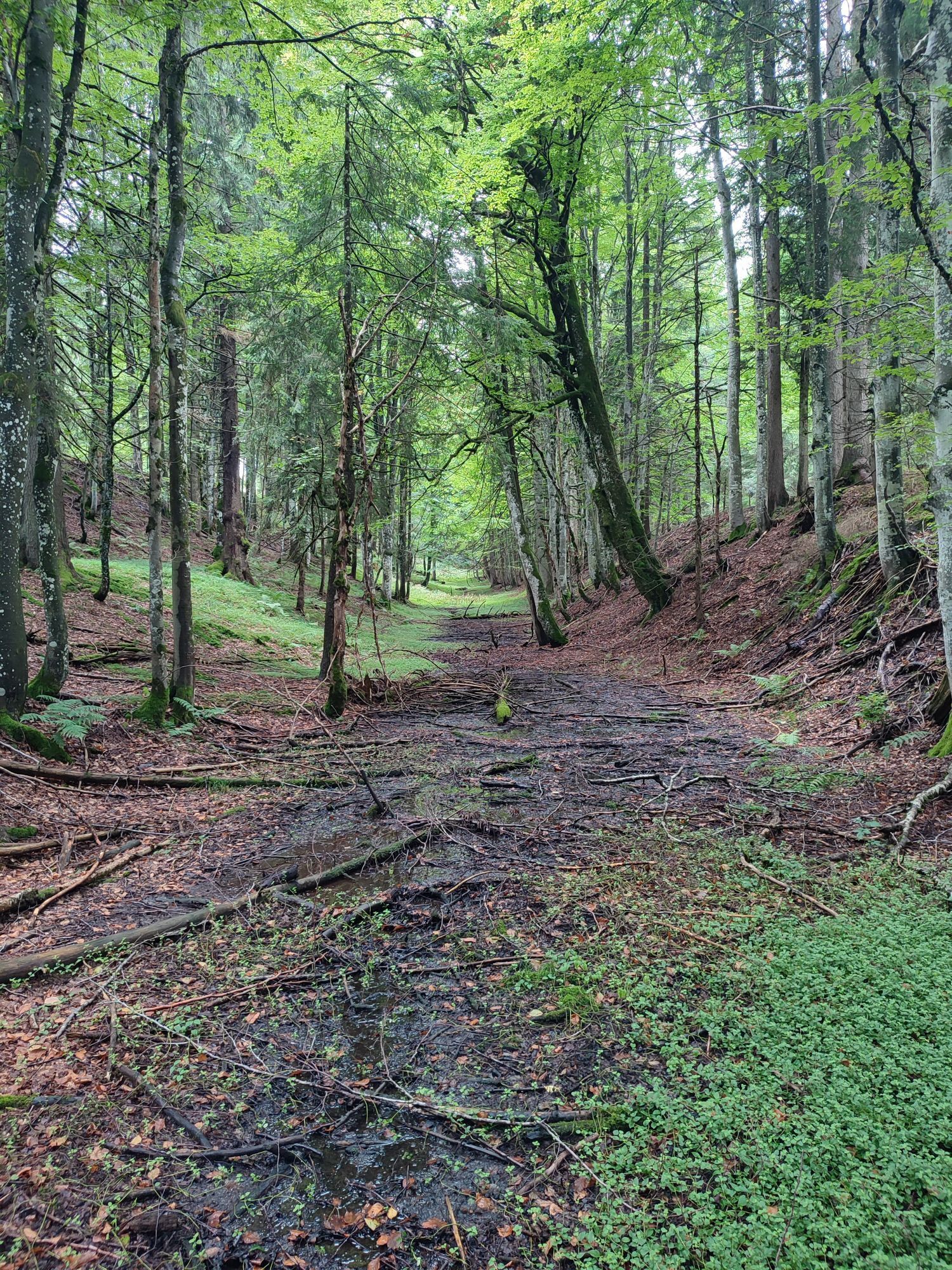
The starting point of the route is the Nagelfluhkette Nature Park Center in Bühl. You start towards Fischerweg until you reach Hotel Rothenfels. Here you turn left. Now the path leads uphill over the ST 2006. After about 150 meters of elevation, you reach the village of Zaumberg, where you can turn left. In the village center, turn left and then follow the path to the right. Now continue steadily uphill following the signs through a beautiful old sunken path, with partly stony sections, up to the well-known Siedelalpe.
You pass the alpine pasture on the right and then ride over meadow paths and wood chip-covered forest paths. Through the moss, you head towards Pfarralpe. Once you can see the hut, at the fork turn right downhill on the paved road. Attention: don’t miss the left turn towards Holdalpe! Over meadows and forests, you pedal uphill until you leave the forest and see the drag lift "Thaler Höhe." You zigzag down the lift track to the valley station and then turn onto the valley road at Jugetbach.
You continue rolling downhill over forest and meadow paths to then partly pedal uphill again around Bachschwandeneck at Untereibele Alpe. Along the ridge and after a steep descent, you ride to Hirnbein-Alpe. Now a pretty tough climb over a mulchy meadow to Salmaser Höhe lies ahead, where you will also have to push the bike in some places. The beautiful panoramic view to the Swiss mountains and the deep view into the valley are the reward for it. Upon reaching the ridge of Salmaser Höhe, a difficult descent over rooty trails and tricky passages to the viewpoint "Seeblick" awaits you.
300 meters below you lies the Großer Alpsee—the largest natural lake in the Allgäu. To the east you can see the Hindelang mountains and to the west the Swiss Alps and the Alpstein. The Großer Alpsee is also the valley floor of your mountain bike tour. You take the short spur from the viewpoint back to the route and turn left downhill towards Ratholz. From there, you descend over the initially gravel alpine path to Hohenschwandalpe and then on asphalt down to the Konstanzer valley. At the bottom, you reach Ratholz and are on the well-known Bodensee-Königssee cycle route along the Großer Alpsee. On this path, you roll leisurely back to the Nagelfluhkette Nature Park Center.
Note: This route leads over many alpine-managed sections. To avoid pasture gates and cow fences, we especially recommend this route in spring and autumn. The 100 days of alpine summer require more arm strength, as you will have to lift your MTB more often!
Ja
Passende Klamotten (je nach Wetter)
Ausreichend Trinken und Essen
Sonnenschutz
Fahrradpumpe
Fahrradschloss
Akkuladestation am Naturparkzentrum Nagelfluhkette
Webcams der Tour
Oberstaufen
Segelclub Alpsee
Oberstaufen
Segelclub Alpsee
Mittaggipfel
Thaler Höhe
Petersthal am Rottachsee
Petersthal am Rottachsee
Oberstaufen - Rosenalp
Hündlebahn Bergstation
Thaler Höhe
Oberwilhams
Oberstaufen
Oberwilhams
Missen-Börlas
Ortsansicht Missen
Alpsee Bergwelt
Alpsee Bergwelt
Alpsee Bergwelt - Bärenfalle
Hol dir den Einblick Immer live vor Ort mit über 9.500 Webcams. In der Touren App von bergfex siehst du als Pro-User jetzt zu vielen Touren die passenden Webcams. So kannst du dir direkt die aktuellen Bedingungen ansehen.Beliebte Touren in der Nähe
- 4,7
Steibis - Buchenegger Wasserfälle
mittelWanderung 6,47 km - 4,8
Rindalphorn und Hochgrat
mittelWanderung 15,6 km - 5,0
Nagelfluh-Gratwanderung Hochgrat - Mittag
schwerWanderung 14,0 km - 4,9
Immenstädter Horn
leichtWanderung 9,35 km - 5,0
Siedelalpe Runde von See - Immenstadt
leichtWanderung 10,3 km - 3,7
Rundtour Mittag
leichtWanderung 15,7 km - 4,5
Immenstädter Horn - Gschwender Horn
leichtWanderung 10 km - 4,5
Rundweg Hündle zu den Buchenegger Wasserfällen
mittelWanderung 9,69 km - 4,4
Rundweg Steibis zum Dreiländerblick
mittelWanderung 7,95 km - 3,8
Hörner Panoramatour
mittelWanderung 17,3 km
Wandern & Tracking


Verpasse keine Angebote und Inspirationen für deinen nächsten Urlaub
Deine E-Mail-Adresse wurde in den Verteiler eingetragen.





