


Historical City Tour
In the course of the rapid urban development since the 19th century and due to the numerous destructions during World War 2, most historically interesting buildings and localities in Friedrichshafen have...
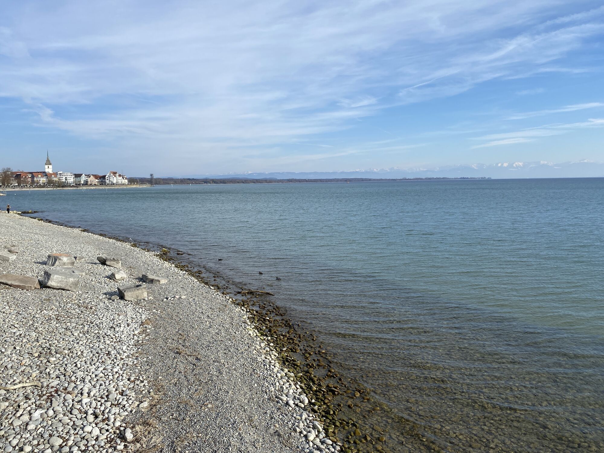
In the course of the rapid urban development since the 19th century and due to the numerous destructions during World War 2, most historically interesting buildings and localities in Friedrichshafen have been destroyed. The 3 km long historical tour, signposted with 50 information panels, goes from the harbour station to the castle church along the lakeside, via the old cemetery to the city station and offers a look "behind the facades" of a former imperial town, residence and industrial town rich in tradition. The "historical city tour" describes an attractive route that will surprise many locals who thought they knew their city. Also foreign guests have the opportunity to explore our city in a manageable amount of time and to look "behind the facades" of a former imperial, residential and industrial city rich in tradition.
Since 1996, citizens of the town have been involved in this project to document historically interesting buildings and locations in Friedrichshafen with the aim of highlighting them at their original locations with explanatory panels. In the meantime, 50 plaques have been created and installed; in addition to the city centre, some plaques have also been installed in the neighbouring districts from Löwental to Fischbach.
Route: circular tour harbour station - Adenauerplatz - lakeside promenade - castle church - old cemetery - city station - harbour station.
The 3 km long historical tour, signposted with 50 information boards, goes from the harbour station to the castle church along the lakeside, via the old cemetery to the city station.
There are train and bus stops at the harbour station.
The city station is only 10 minutes away from the starting point at the harbour station. There is also a bus station at the harbour station.
You will find parking garages at the harbour station and in Karlsstraße.
Book recommendation:
Hiking Book of Friedrichshafen - "Wanderungen und Spaziergängen in Friedrichshafen und Umgebung"
Author: Rainer Barth
Publisher: Lorenz Senn GmbH & Co.
KGISBN: 978-3-88812-246-0
Beliebte Touren in der Nähe
- 4,8
Bodensee LandGänge "Gehrenberg GuckinsLand"
mittelWanderung 15 km - 3,2
Bodenseeradweg
Radfahren 210,8 km - 5,0
Hiltensweiler - Rengersweiler - Degersee
leichtWanderung 10,8 km - 5,0
Bodensee LandGänge "Bermatinger Waldwiesen"
leichtWanderung 9,20 km - 4,7
Meersburg - Rebgut Haltnau - Schlosskirche - Kapelle "Zum Frieden"
mittelWanderung 11,3 km - 4,0
Wanderung Rotachweg
leichtWanderung 6,66 km - 4,0
Landschaftlich sehr schöner Rundweg
leichtWanderung 10,2 km Wanderung rund um Bermatingen und Ahausen
leichtWanderung 10,3 km- 5,0
Bregenz - St. Martin - Riedkapelle - Friedrichshafen
leichtRadfahren 35,6 km - 5,0
Planetenweg Kluftern
leichtWanderung 5,61 km
Wandern & Tracking


Verpasse keine Angebote und Inspirationen für deinen nächsten Urlaub
Deine E-Mail-Adresse wurde in den Verteiler eingetragen.