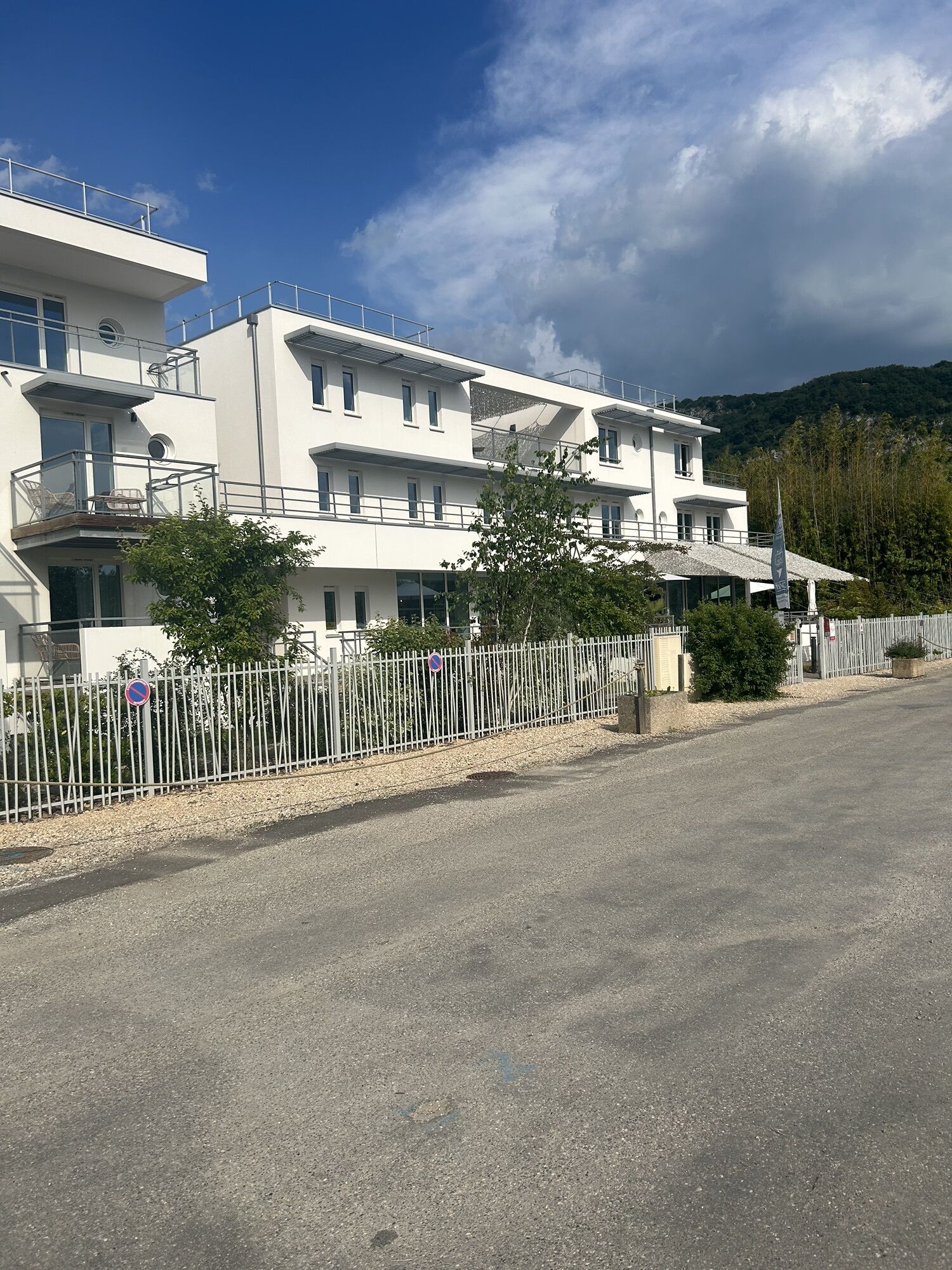
La Guinguette - Chanaz - Praille - La Cour
schwer
Navigieren
Navigieren
Hol diese Tour auf dein Handy
La Guinguette - Chanaz - Praille - La Cour
schwer
Mountainbike
57,80
km
QR-Code scannen und Navigation in der bergfex App beginnen

Wandern & Tracking


La Guinguette - Chanaz - Praille - La Cour
schwer
Distanz
57,80
km
Dauer
04:13
h
Aufstieg
923
hm
Seehöhe
222 -
633
m
Track-Download
La Guinguette - Chanaz - Praille - La Cour
schwer
Mountainbike
57,80
km
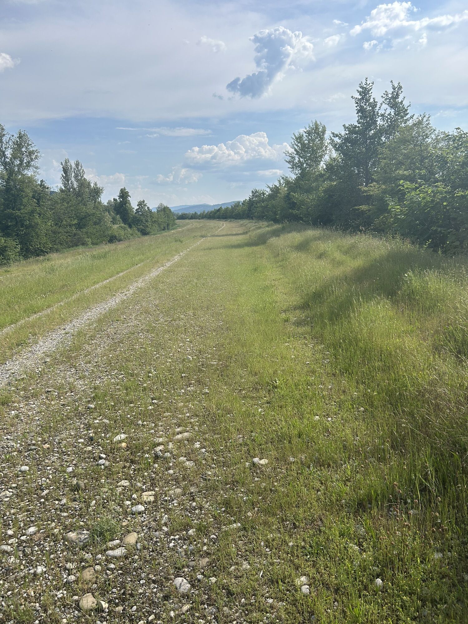
Wegverlauf
Chanaz
(234 m)
Dorf
3,1 km
Chez Piollet
(417 m)
Siedlung
8,3 km
Billon
(461 m)
Siedlung
10,5 km
La Chapelle-du-Mont-du-Chat
(622 m)
Dorf
18,8 km
Taba
(485 m)
Siedlung
24,2 km
Les Bernards
(231 m)
Siedlung
30,6 km
Brens
(252 m)
Dorf
38,3 km
Wegverlauf
La Guinguette - Chanaz - Praille - La Cour
schwer
Mountainbike
57,80
km
La Guinguette
(237 m)
Restaurant
0,0 km
Chanaz
(234 m)
Dorf
3,1 km
Praille
(306 m)
Siedlung
3,6 km
La Cour
(304 m)
Siedlung
3,6 km
Le Couloir
(361 m)
Siedlung
4,2 km
La Combe
(410 m)
Siedlung
8,0 km
Saint-Pierre-de-Curtille
(432 m)
Dorf
8,1 km
Chez Piollet
(417 m)
Siedlung
8,3 km
Le Célan
(406 m)
Stadtviertel
8,4 km
Quinfieux
(382 m)
Siedlung
8,7 km
Les Échenaux
(384 m)
Siedlung
8,8 km
Le Plattet
(392 m)
Siedlung
8,8 km
Les Trois Quarts
(398 m)
Siedlung
8,9 km
Boissière
(462 m)
Siedlung
9,6 km
Billon
(461 m)
Siedlung
10,5 km
Belvédère d'Ontex Grumeau
(599 m)
Aussichtspunkt
13,0 km
Grumeau
(618 m)
Siedlung
13,2 km
Grottes du Communal
(621 m)
Höhleneingang
13,5 km
Communal
(552 m)
Siedlung
13,7 km
Le Petit Villard
(508 m)
Siedlung
15,9 km
Le Grand Villard
(567 m)
Siedlung
17,2 km
La Chapelle-du-Mont-du-Chat
(622 m)
Dorf
18,8 km
Le coin du bois
(620 m)
Restaurant
19,4 km
Ferme Palatin
(622 m)
Siedlung
19,8 km
Le Col
(589 m)
Siedlung
20,3 km
Point de vue sur les lacs de Chevelu
(579 m)
Aussichtspunkt
22,4 km
Les Grangeons
(452 m)
Siedlung
23,0 km
Monthoux
(543 m)
Siedlung
23,4 km
Taba
(485 m)
Siedlung
24,2 km
Gerbaz
(410 m)
Siedlung
25,6 km
Billième
(417 m)
Dorf
26,7 km
Le Château
(409 m)
Siedlung
26,7 km
Combes
(386 m)
Siedlung
27,0 km
Grand Lagneux
(244 m)
Siedlung
28,3 km
Bas Somont
(266 m)
Siedlung
29,4 km
Les Bernards
(231 m)
Siedlung
30,6 km
Yenne
(231 m)
Dorf
32,3 km
Gorges de La Balme
(241 m)
Flur/Gelände
34,5 km
Carrefour de La Balme
(236 m)
Flur/Gelände
35,1 km
Saint-Blaise
(224 m)
Siedlung
35,7 km
La Balme
(223 m)
Dorf
35,8 km
Les Cantinières
(223 m)
Stadtviertel
36,0 km
Brens
(252 m)
Dorf
38,3 km
Les Écassaz
(232 m)
Siedlung
41,4 km
Le Lac de Bart
(243 m)
Restaurant
46,6 km
La Tuilerie
(241 m)
Siedlung
49,9 km
Île Béard
(230 m)
Siedlung
50,8 km
Chanaz
(234 m)
Dorf
55,0 km
La Guinguette
(237 m)
Restaurant
57,7 km
Noch keine Bewertungen
Beliebte Touren in der Nähe
Wanderroute: Der Armaille-See
leichtWanderung 9,42 kmFahrradrunde: Marais de Lavours und Weingüter des Bugey
leichtRennrad 33,1 kmRandonnée pédestre : le circuit du Sorbier
leichtWanderung 11,4 kmWanderroute: See und Weinberge
leichtWanderung 9,76 kmMTB-Strecke 1 grün - Der Wald von Rothonne: Le Renard - Espace FFC Ain Forestière
leichtMountainbike 4,93 kmVTTAE-Strecke 8 - Marais d'Aignoz - Espace FFC Ain Forestière
schwerMountainbike 44,6 kmWanderstrecken im Rothonne-Wald
leichtWanderung 8,88 kmMTB-Strecke 5 rot - Der See von Armaille - Espace FFC Ain Forestière
schwerMountainbike 26,7 kmMTB-Strecke 6 rot - Les Enfants du Marais - FFC Bereich Ain Forestière
schwerMountainbike 41,4 kmMTB-Strecke 2 blau - Der Wald von Rothonne: Le Cerf - Espace FFC Ain Forestière
leichtMountainbike 8,94 km
Wandern & Tracking

Über 550.000 Tourenvorschläge, detailliertes Kartenmaterial und ein intuitiver Routenplaner machen die App zum Must-have für alle Naturbegeisterten.

Verpasse keine Angebote und Inspirationen für deinen nächsten Urlaub
Zum Newsletter anmelden
Fehler
Ein Fehler ist aufgetreten. Bitte versuche es erneut.Vielen Dank für deine Anmeldung
Deine E-Mail-Adresse wurde in den Verteiler eingetragen.
Touren in ganz Europa
Österreich Schweiz Deutschland Italien Slowenien Frankreich Niederlande Belgien Polen Liechtenstein Tschechien Slowakei Spanien Kroatien Bosnien und Herzegowina Luxemburg Andorra Portugal Island Vereinigtes Königreich Irland Griechenland Albanien Nordmazedonien Malta Norwegen Montenegro Moldau Kosovo Ungarn San Marino Rumänien Estland Lettland Belarus Zypern Litauen Serbien Bulgarien Monaco Dänemark Schweden Finnland