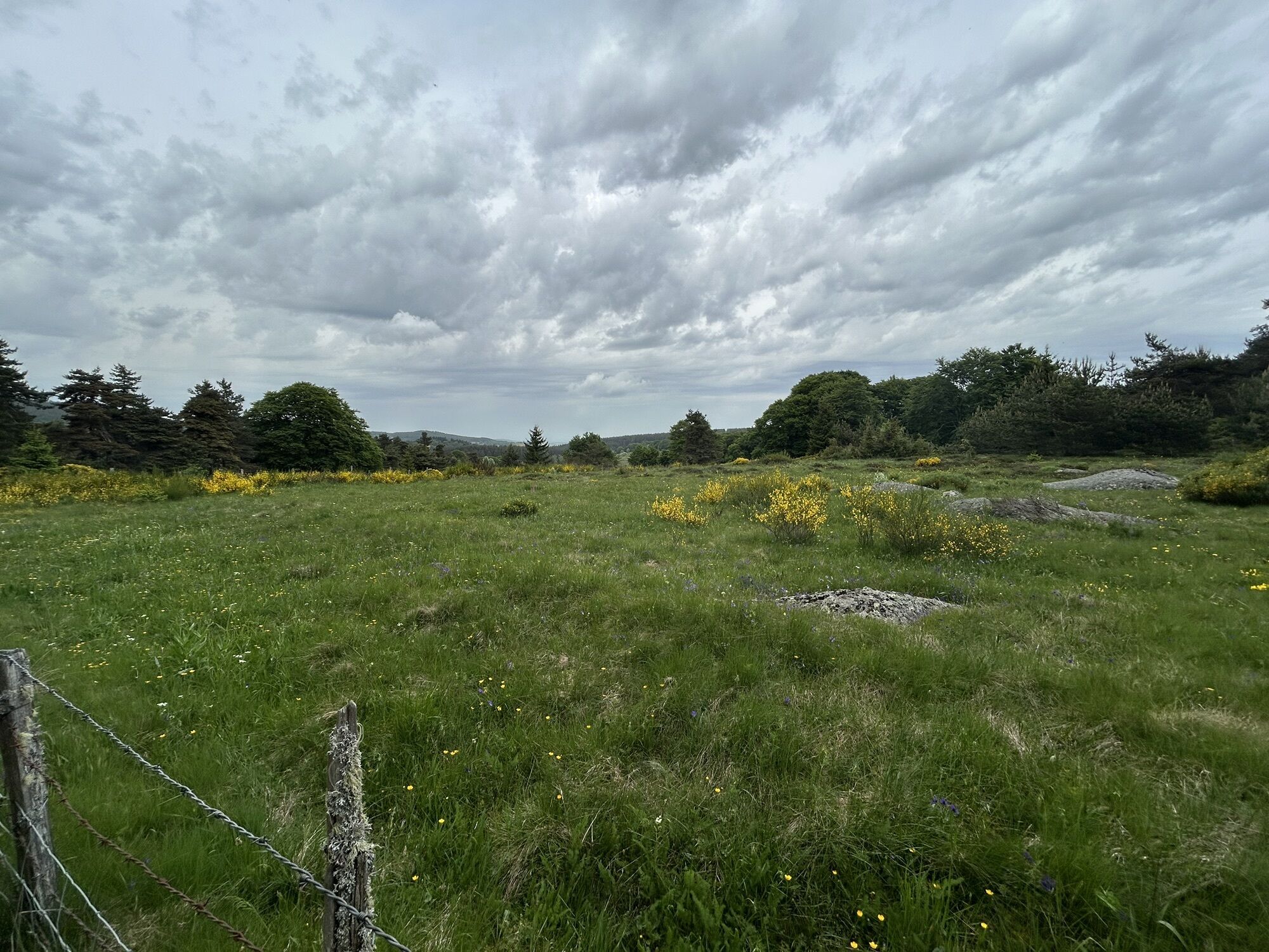
Chanaleilles - Chazeaux - Chapelle Saint-Roch - Le Pin
Mountainbike
Navigieren
Navigieren
Hol diese Tour auf dein Handy
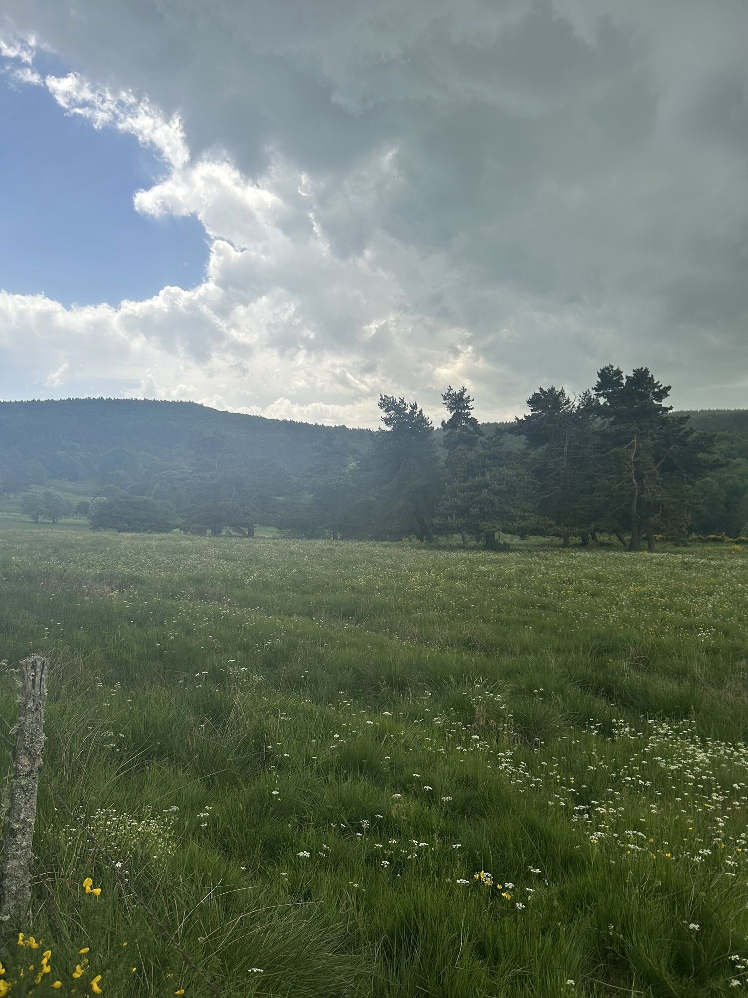
Chanaleilles - Chazeaux - Chapelle Saint-Roch - Le Pin
Mountainbike
23,77
km
QR-Code scannen und Navigation in der bergfex App beginnen

Wandern & Tracking


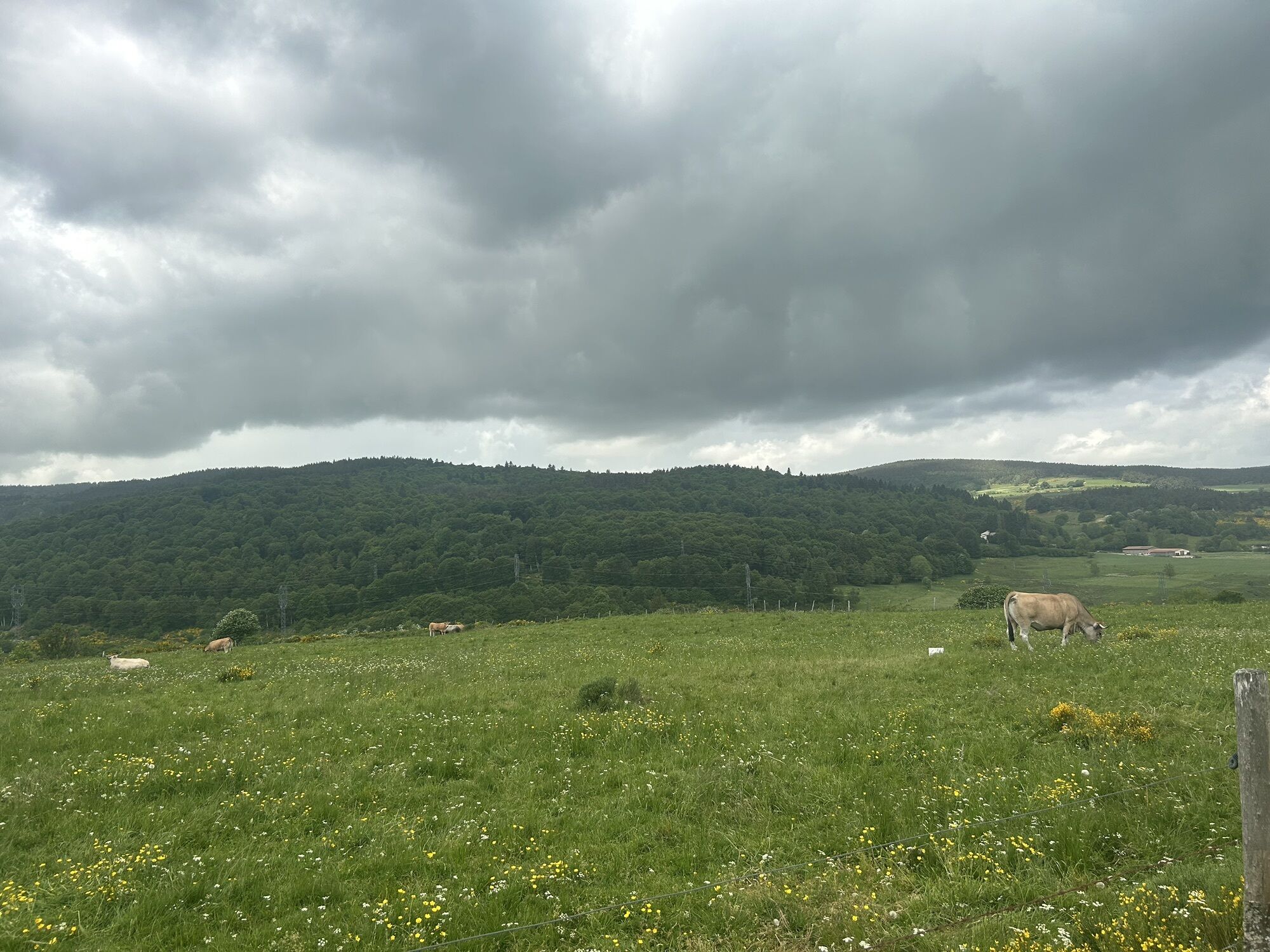
Chanaleilles - Chazeaux - Chapelle Saint-Roch - Le Pin
Mountainbike
Distanz
23,77
km
Dauer
02:27
h
Aufstieg
317
hm
Seehöhe
1.103 -
1.424
m
Track-Download
Chanaleilles - Chazeaux - Chapelle Saint-Roch - Le Pin
Mountainbike
23,77
km

Wegverlauf
Chanaleilles
(1.134 m)
Dorf
0,0 km
Chazeaux
(1.155 m)
Siedlung
0,3 km
Fontaine Saint-Roch
(1.294 m)
Quelle
8,4 km
Chapelle Saint-Roch
(1.292 m)
Andachtsstätte
8,8 km
Le Pin
(1.121 m)
Siedlung
21,5 km
Chanaleilles
(1.134 m)
Dorf
23,7 km
Wegverlauf
Chanaleilles - Chazeaux - Chapelle Saint-Roch - Le Pin
Mountainbike
23,77
km
Chanaleilles
(1.134 m)
Dorf
0,0 km
Chazeaux
(1.155 m)
Siedlung
0,3 km
Fontaine Saint-Roch
(1.294 m)
Quelle
8,4 km
Chapelle Saint-Roch
(1.292 m)
Andachtsstätte
8,8 km
Le Pin
(1.121 m)
Siedlung
21,5 km
Chanaleilles
(1.134 m)
Dorf
23,7 km
Noch keine Bewertungen
Beliebte Touren in der Nähe
- 4,0
Le Falzet - Chapelle Sainte-Madeleine - Église Saint-Pierre - Saint-Privat-d'Allier
schwerPilgerweg 29,1 km 2020-08-07_08-40_Fri
mittelMountainbike 42 kmSaugues - Les Ribeyres - Le Luchadou - Église Saint-Pierre
Mountainbike 42,4 kmSaint-Chély-d'Apcher - Église Saint-Alban - Église Sainte-Eulalie - Sainte-Eulalie
schwerMountainbike 32,9 kmSaint-Alban-sur-Limagnole - Chapelle Saint-Roch - Église Saint-Alban - Le Falzet
schwerPilgerweg 23,6 kmSaugues - La Pastourelle - Église Saint-Jean-Baptiste - Église Saint-Claude
Mountainbike 49,0 kmRuynes-en-Margeride - Église Notre-Dame de l'Assomption - Mont Mouchet - Chanaleilles
schwerMountainbike 49,6 kmSaint-Préjet-d'Allier - La Romaine - Église Saint-Bruno - Église Notre-Dame de l'Assomption
schwerMountainbike 32,3 kmÉglise Notre-Dame de l'Assomption - La Veysseyre - Église Saint-Claude - Chanaleilles
Mountainbike 38,3 kmLangeac - Collégiale Saint-Gal - Église Saint-Jean-Baptiste - Saint-Paul-le-Froid
Mountainbike 62,2 km
Wandern & Tracking

Über 550.000 Tourenvorschläge, detailliertes Kartenmaterial und ein intuitiver Routenplaner machen die App zum Must-have für alle Naturbegeisterten.

Verpasse keine Angebote und Inspirationen für deinen nächsten Urlaub
Zum Newsletter anmelden
Fehler
Ein Fehler ist aufgetreten. Bitte versuche es erneut.Vielen Dank für deine Anmeldung
Deine E-Mail-Adresse wurde in den Verteiler eingetragen.
Touren in ganz Europa
Österreich Schweiz Deutschland Italien Slowenien Frankreich Niederlande Belgien Polen Liechtenstein Tschechien Slowakei Spanien Kroatien Bosnien und Herzegowina Luxemburg Andorra Portugal Island Vereinigtes Königreich Irland Griechenland Albanien Nordmazedonien Malta Norwegen Montenegro Moldau Kosovo Ungarn San Marino Rumänien Estland Lettland Belarus Zypern Litauen Serbien Bulgarien Monaco Dänemark Schweden Finnland