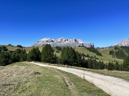
Mezzo Sellaronda
leicht
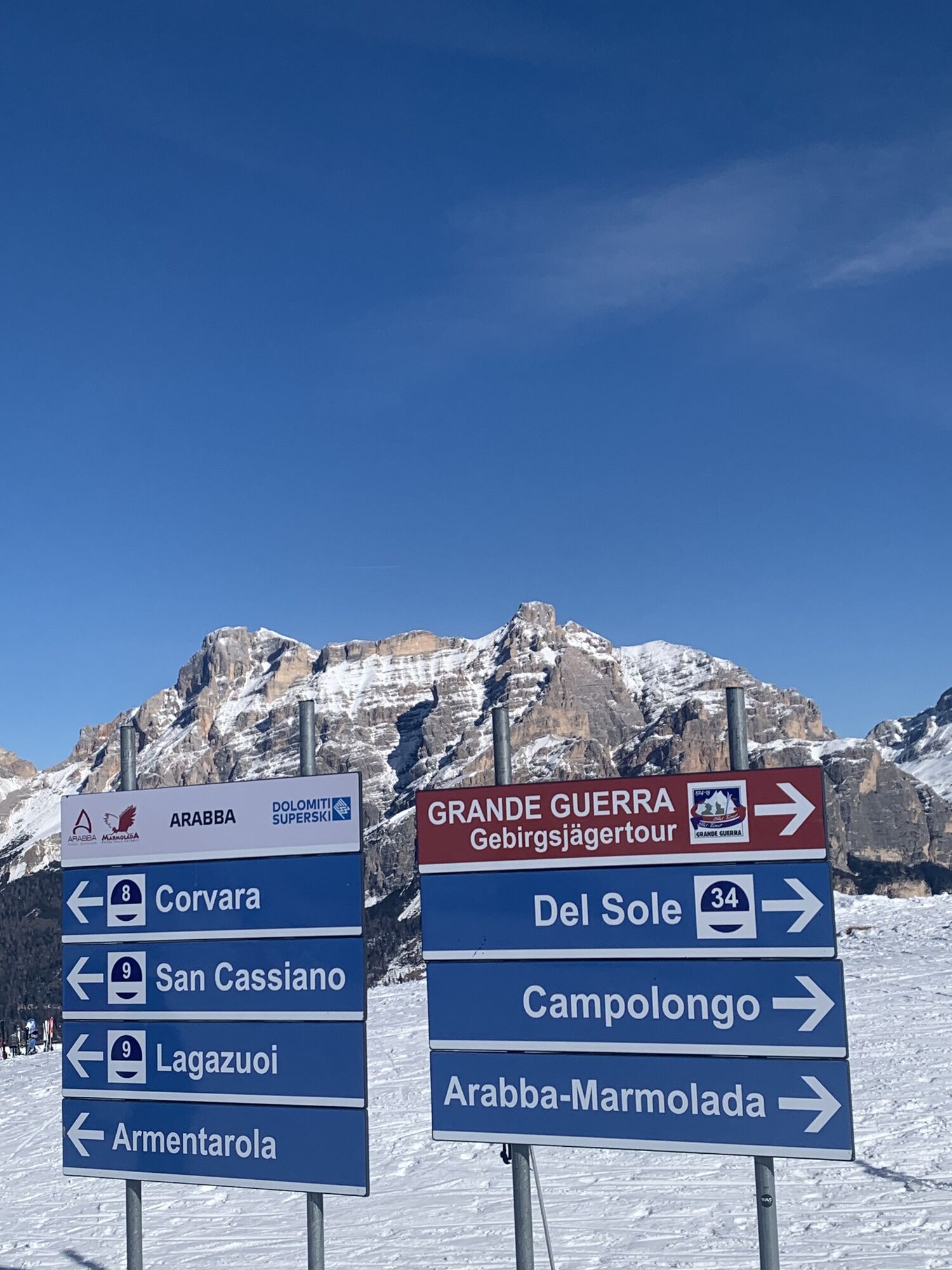
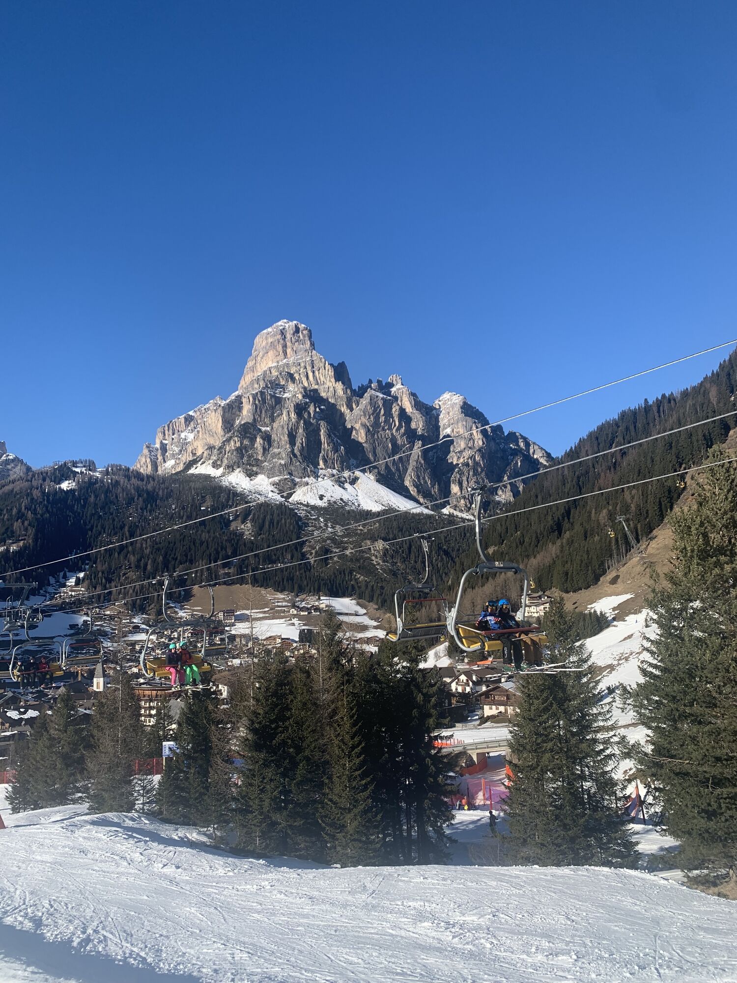
Navigieren
Navigieren
Hol diese Tour auf dein Handy
Mezzo Sellaronda
leicht
Skifahren
56,06
km
QR-Code scannen und Navigation in der bergfex App beginnen

Wandern & Tracking


Mezzo Sellaronda
leicht
Distanz
56,06
km
Dauer
03:04
h
Aufstieg
4.874
hm
Seehöhe
1.331 -
2.135
m
Track-Download
Mezzo Sellaronda
leicht
Skifahren
56,06
km


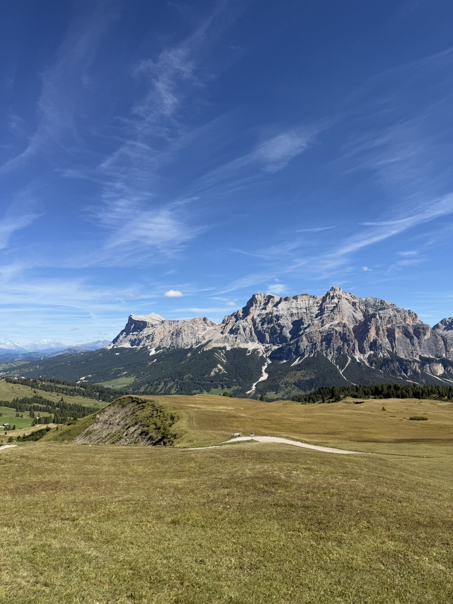
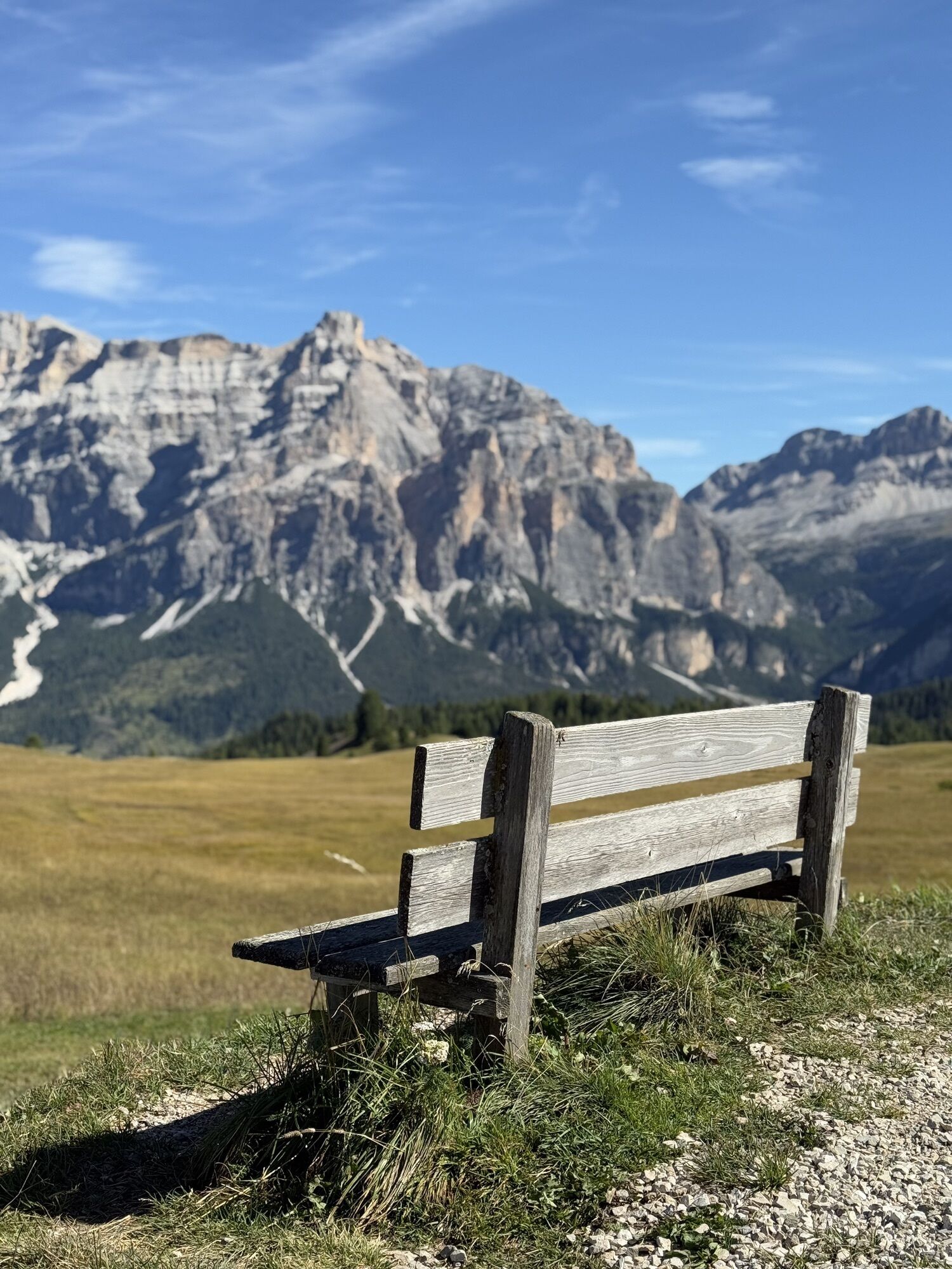
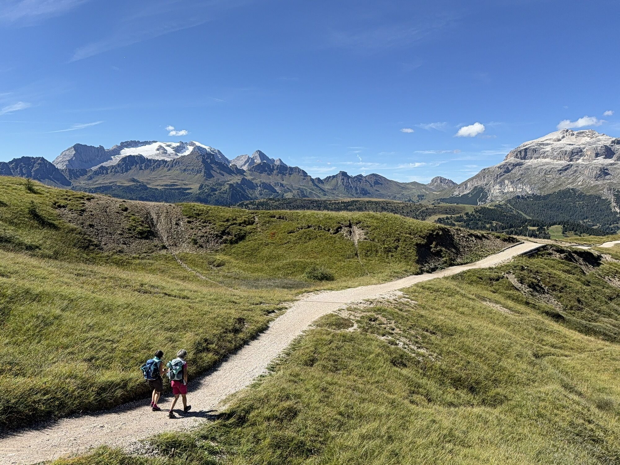
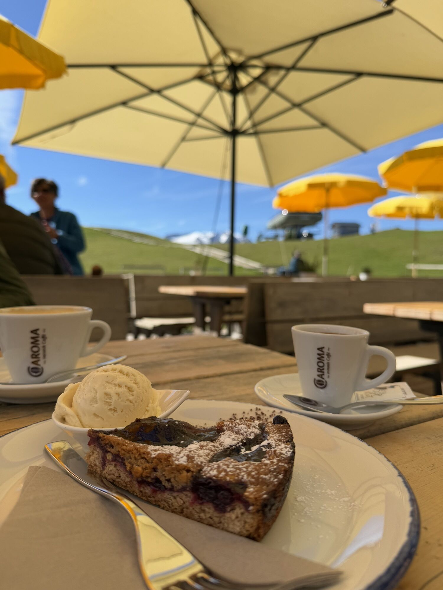
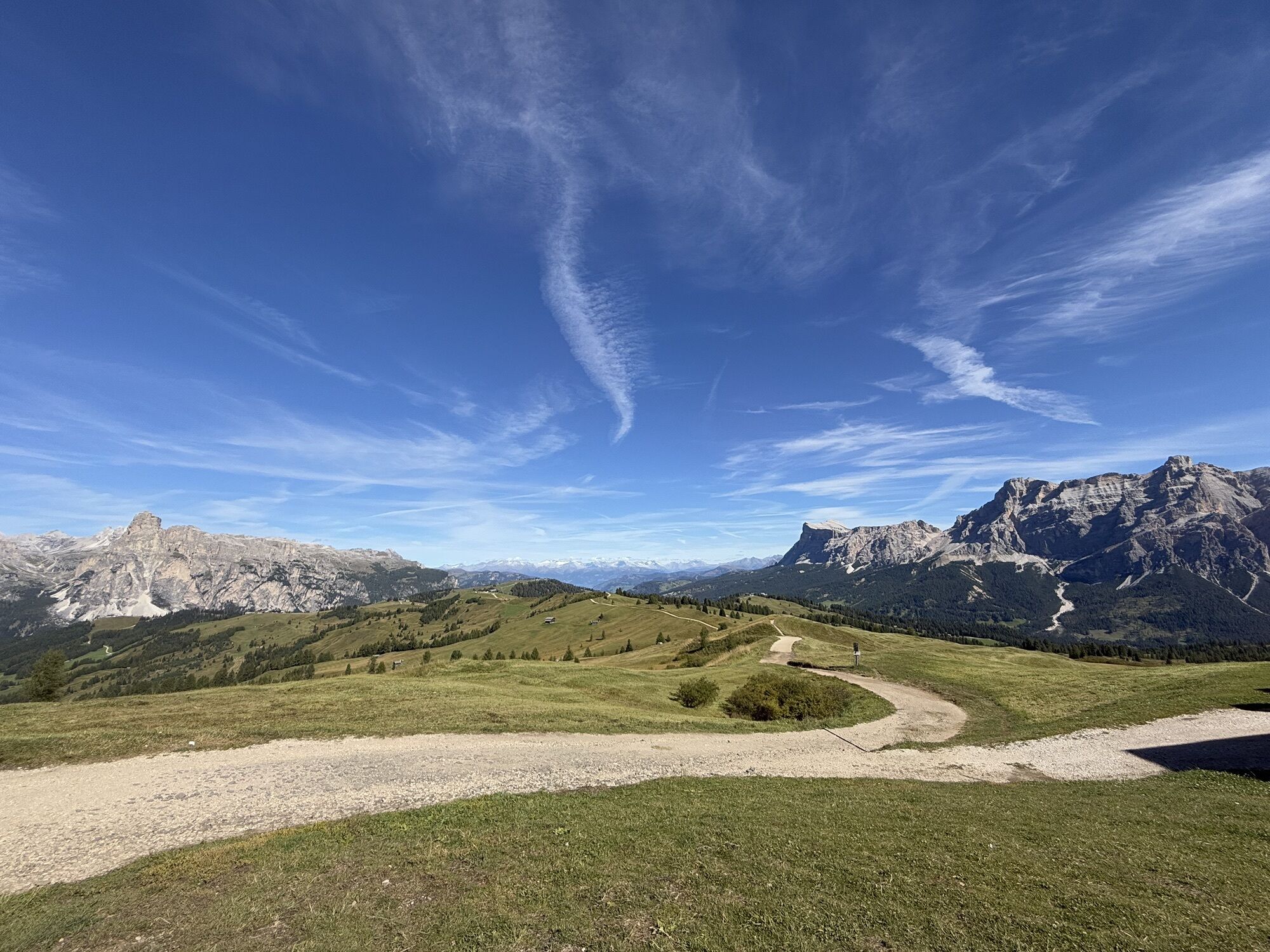
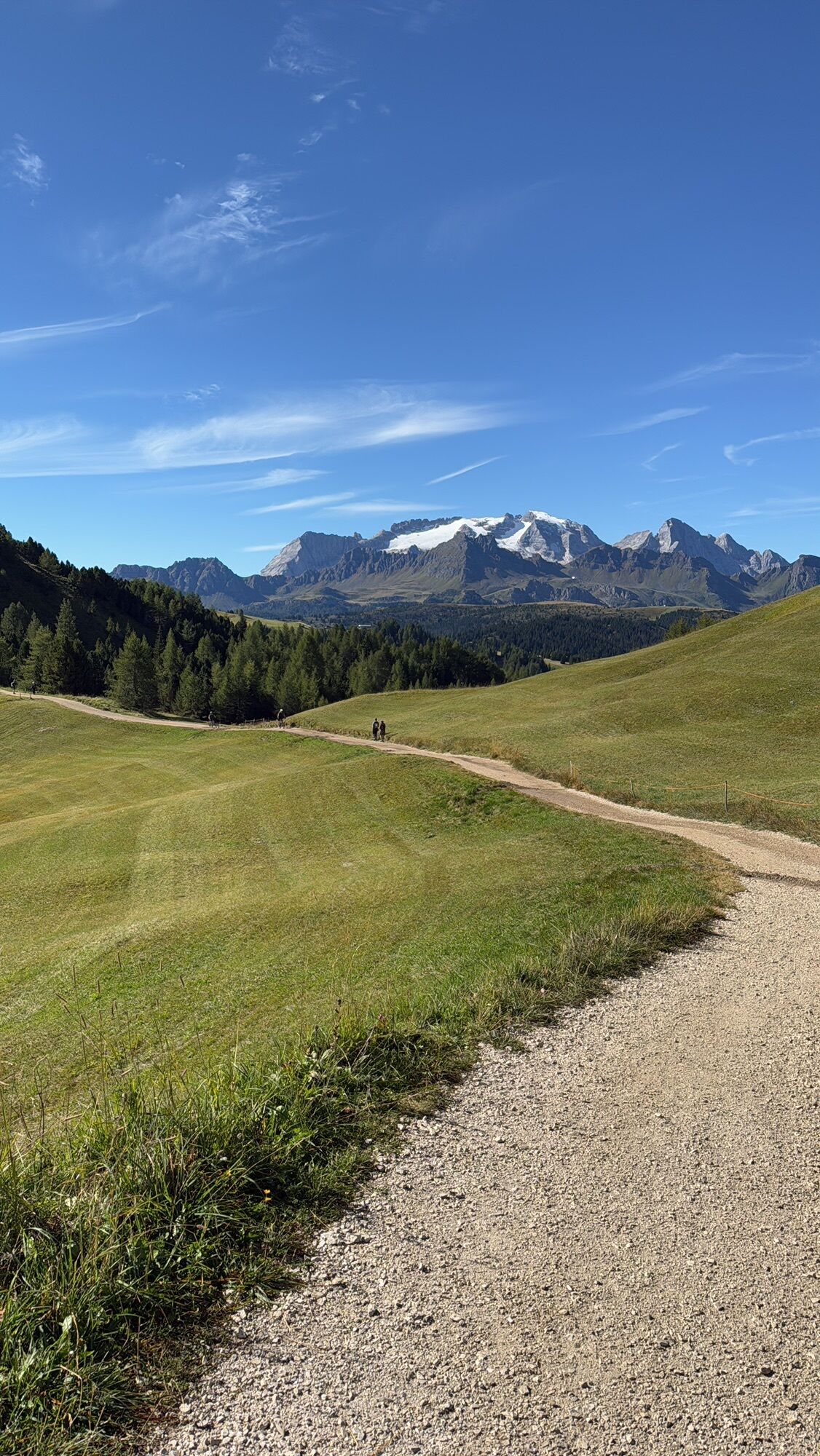
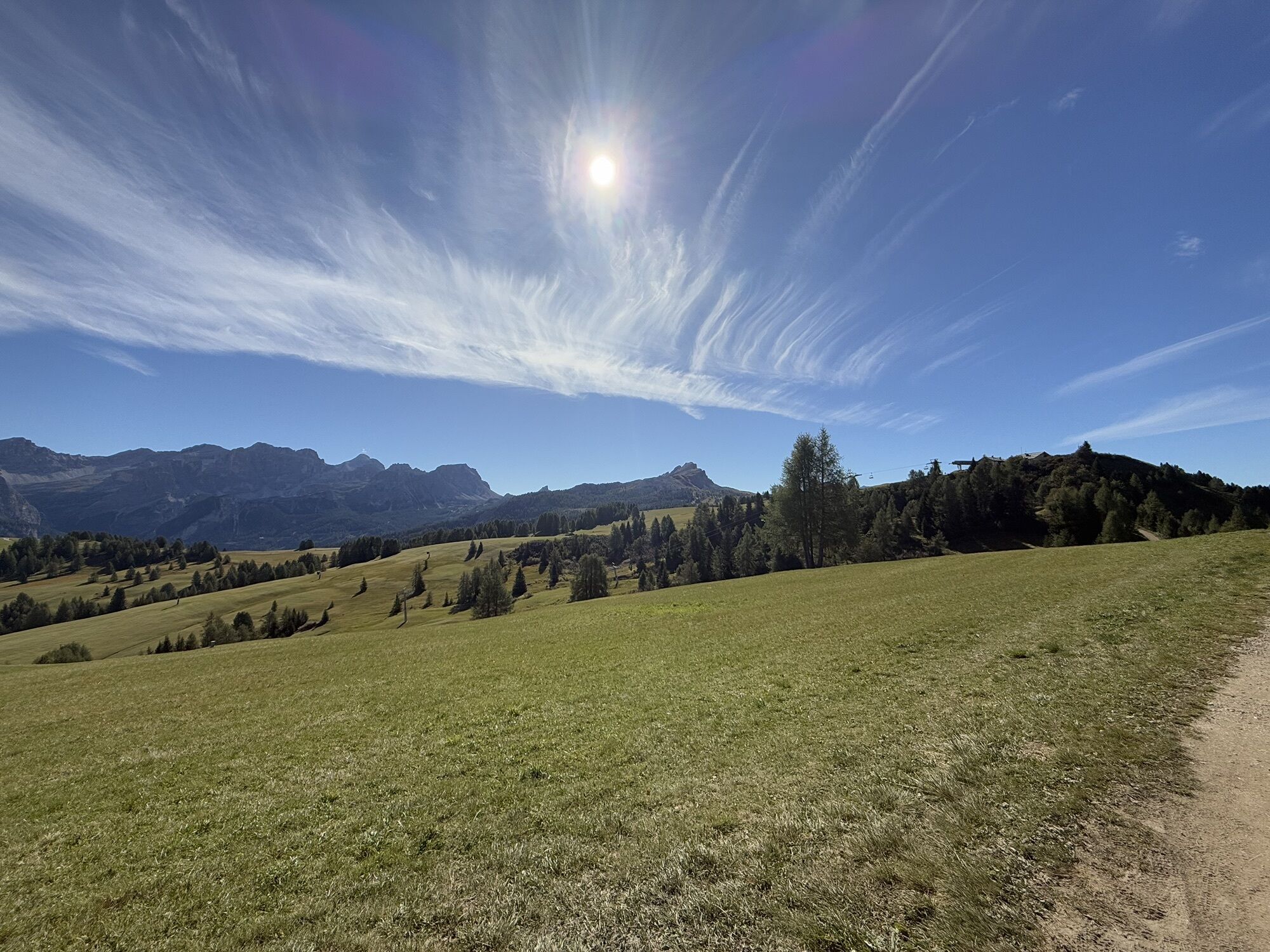
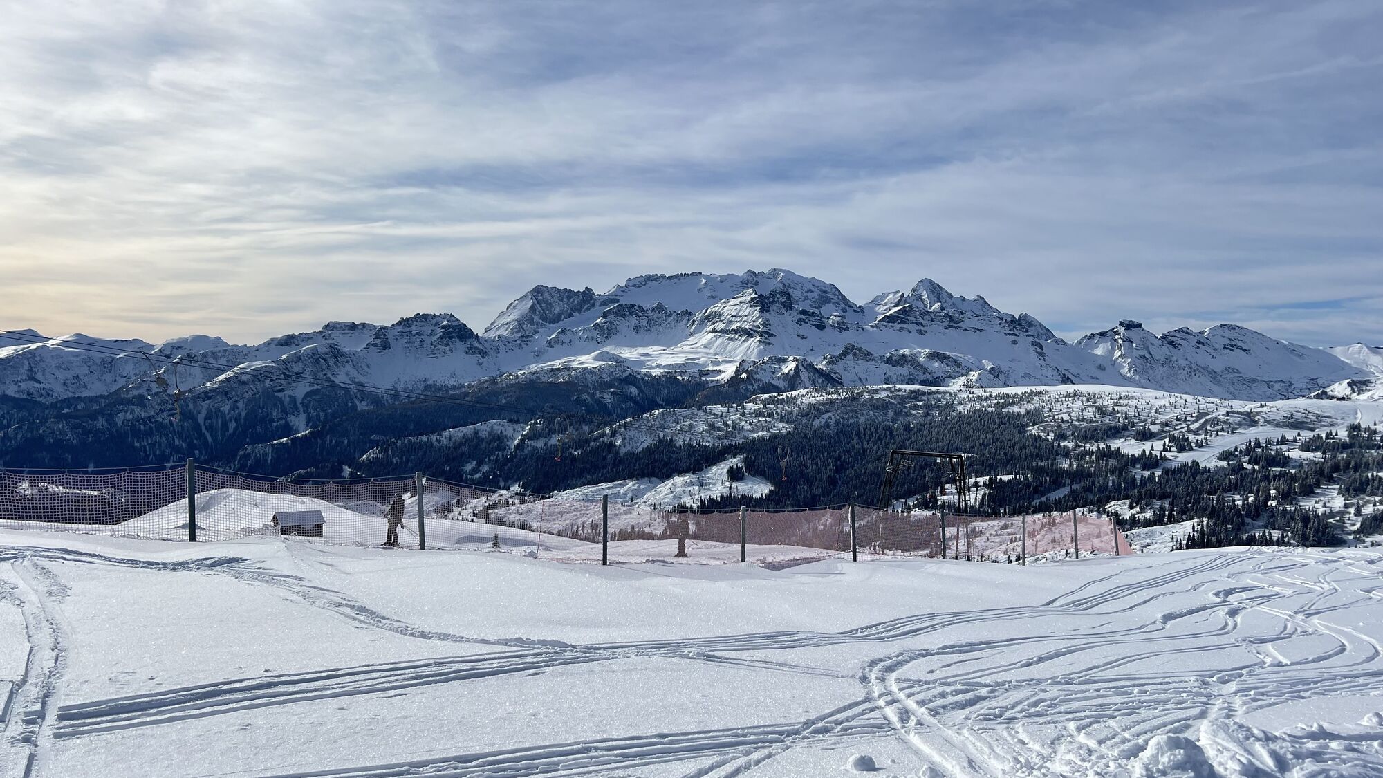
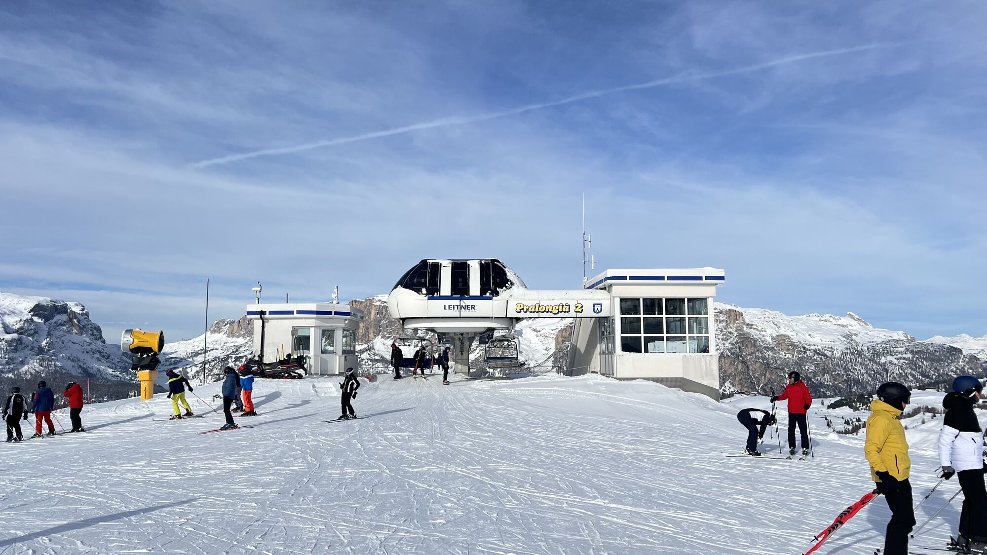
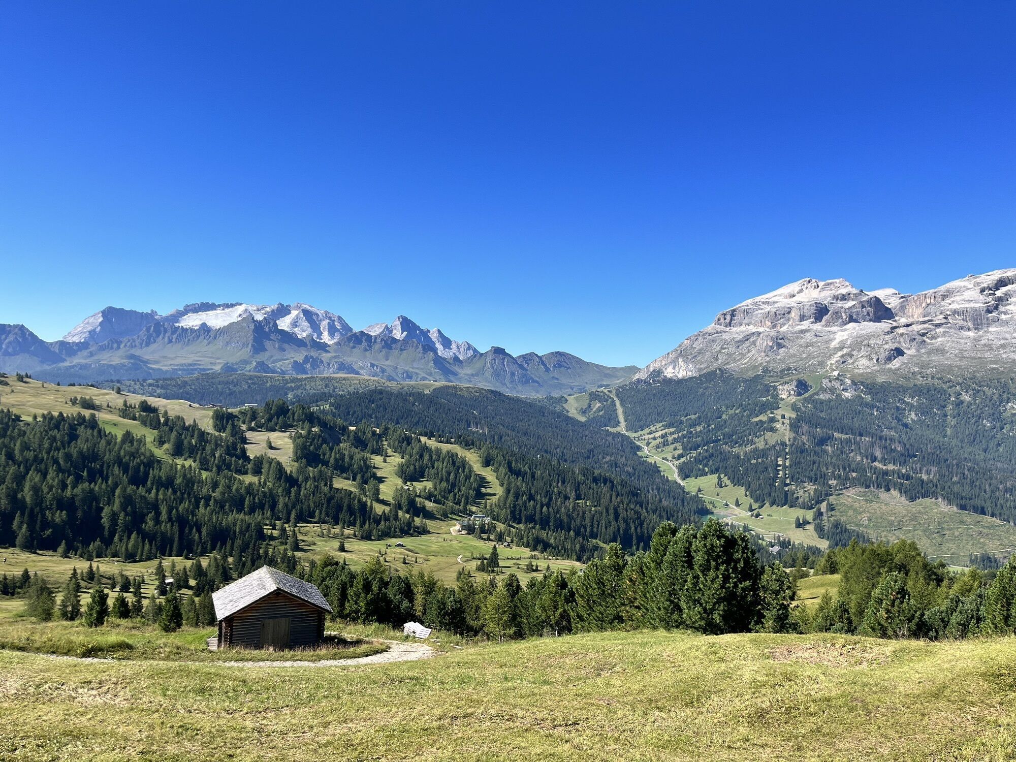
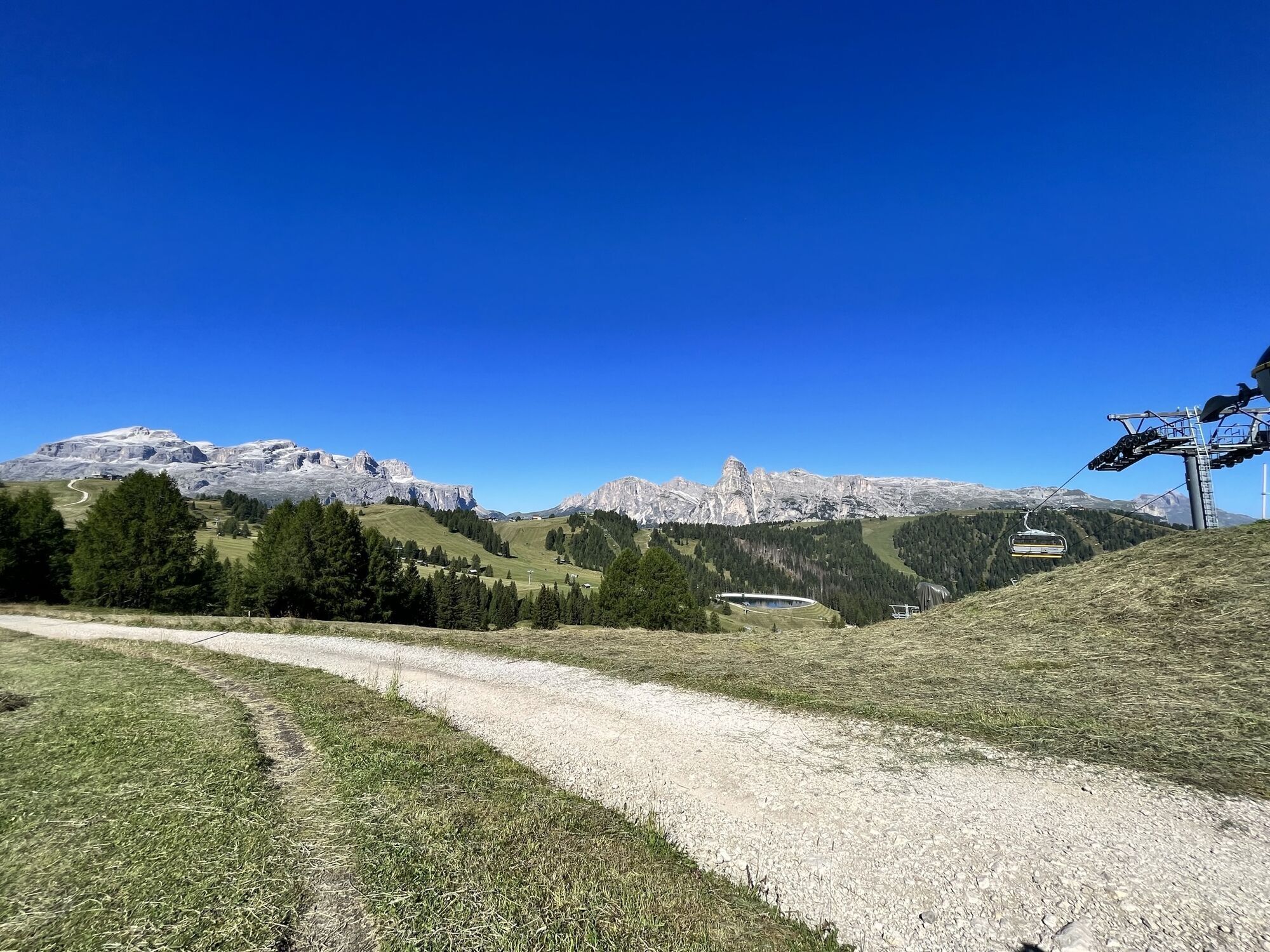
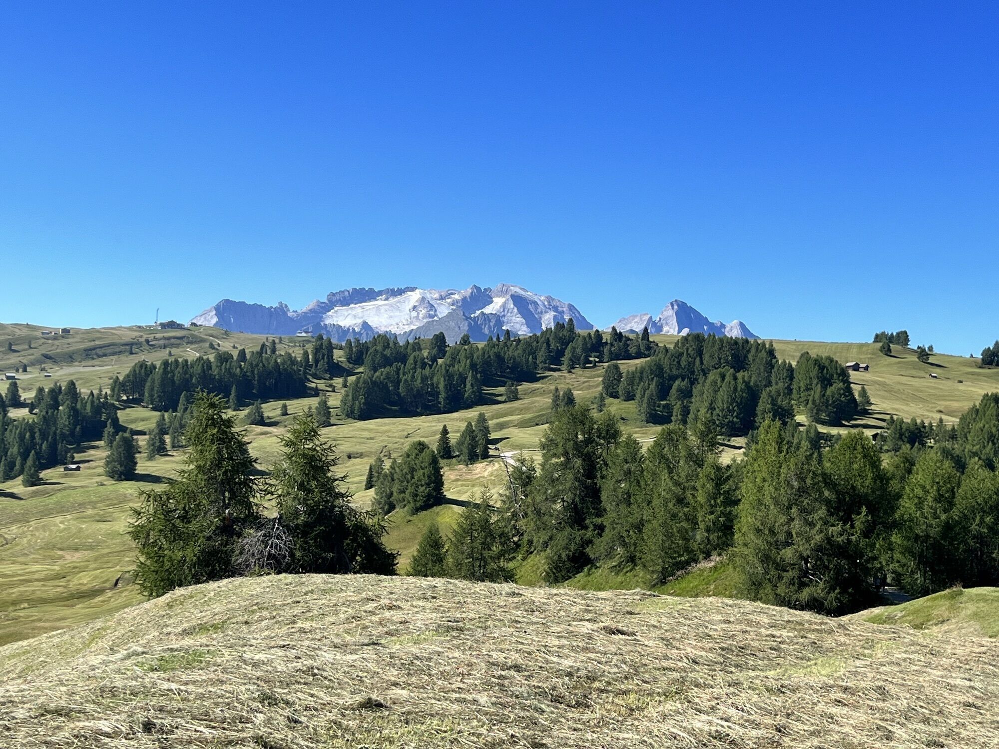
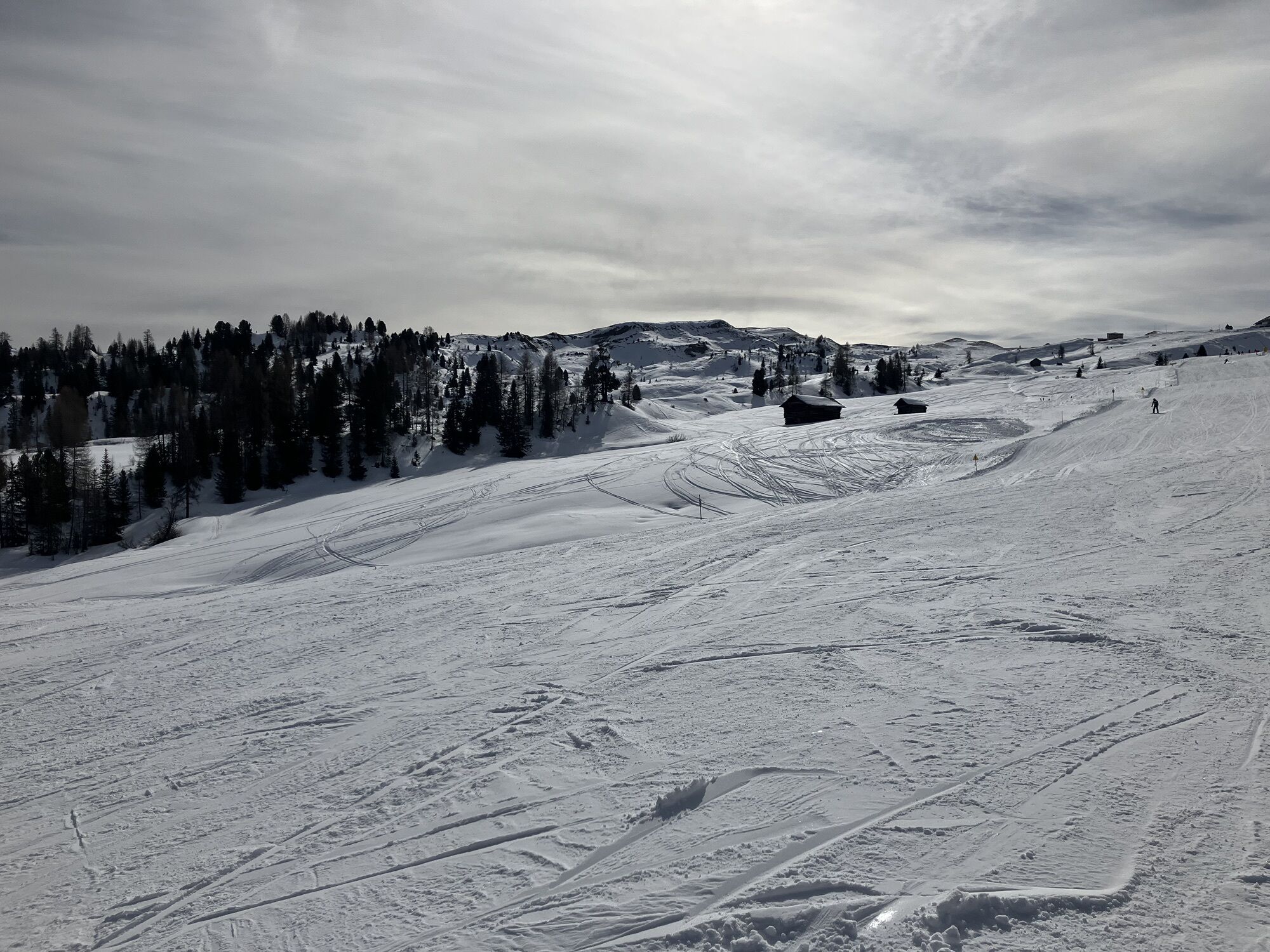
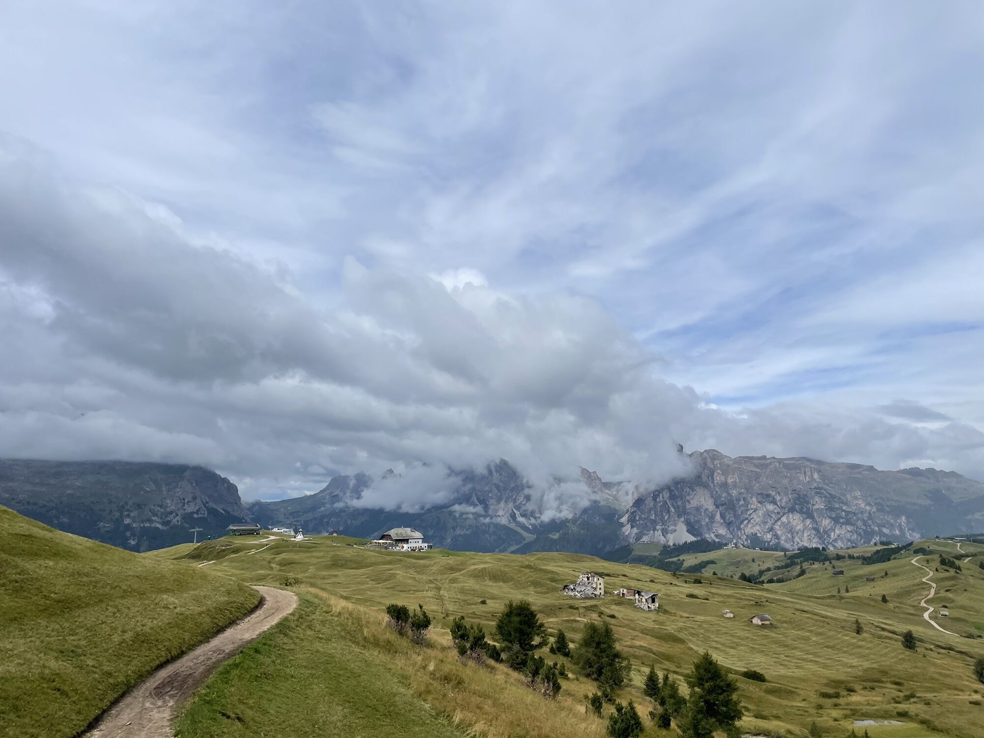
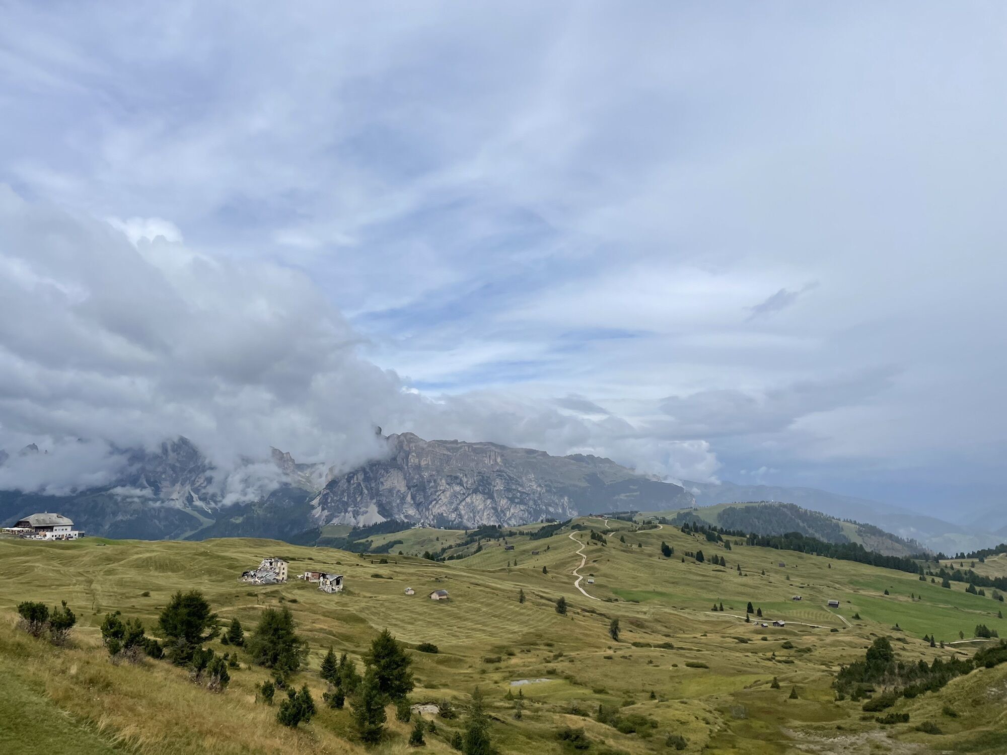
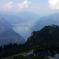
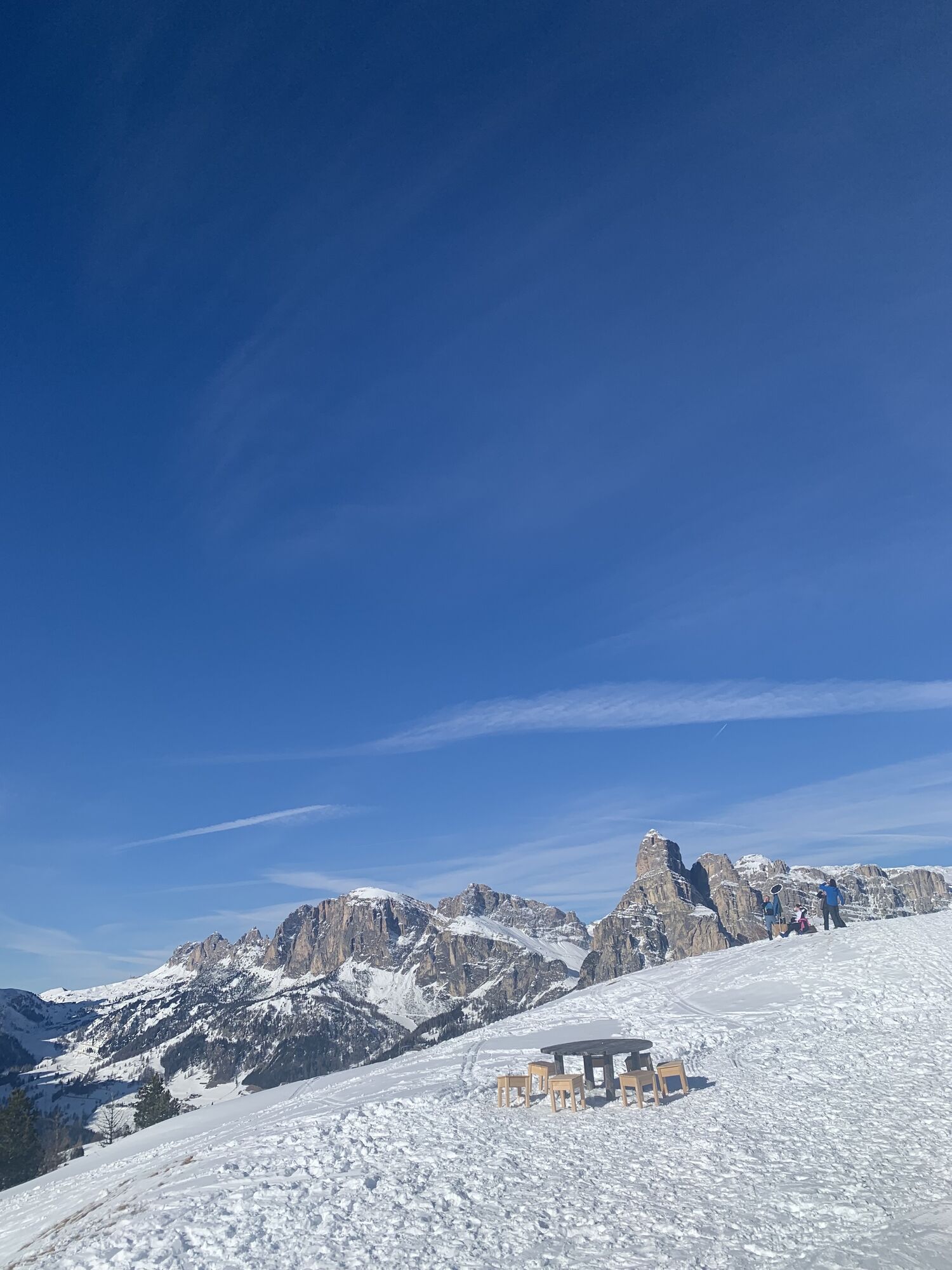
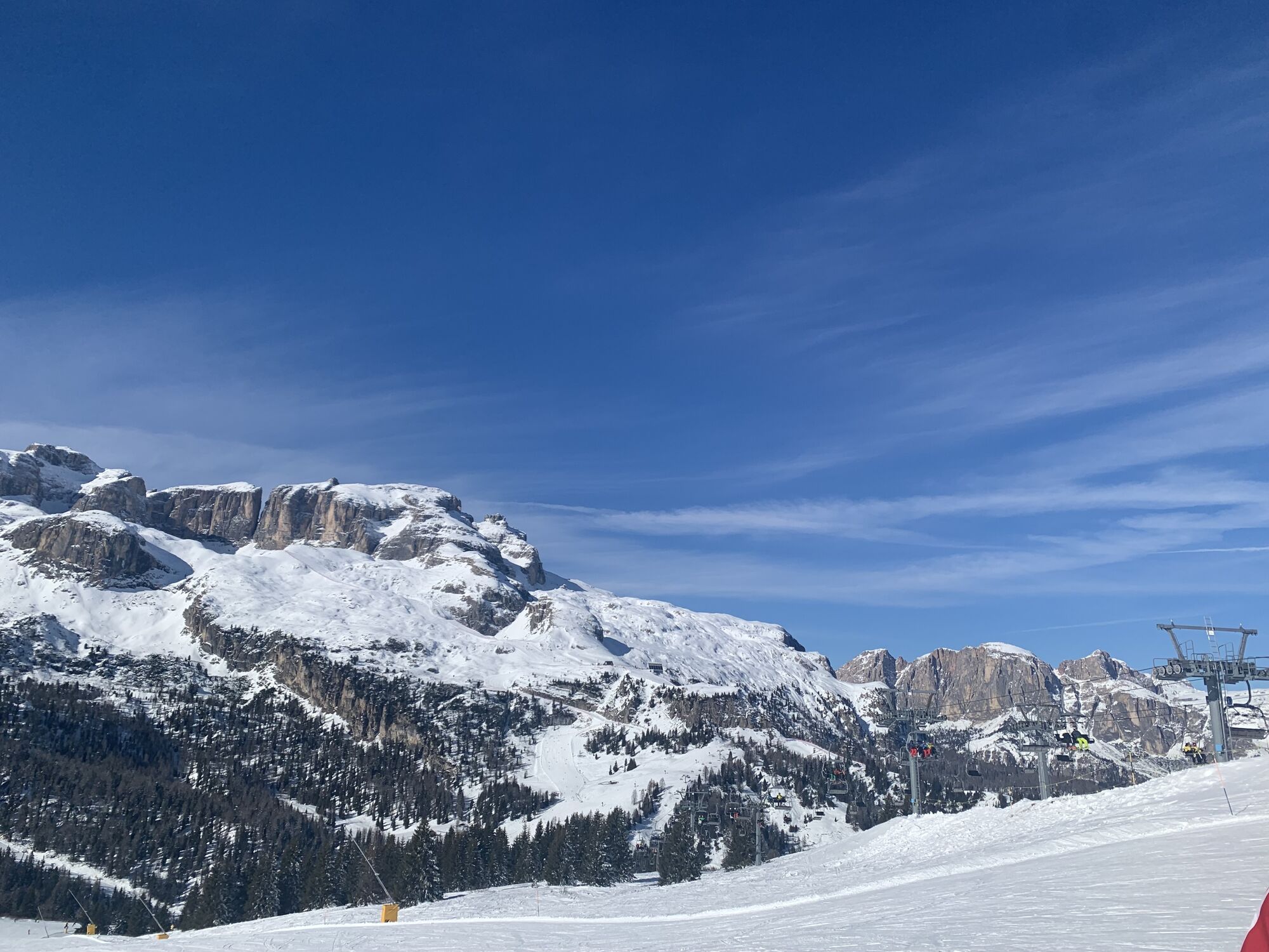
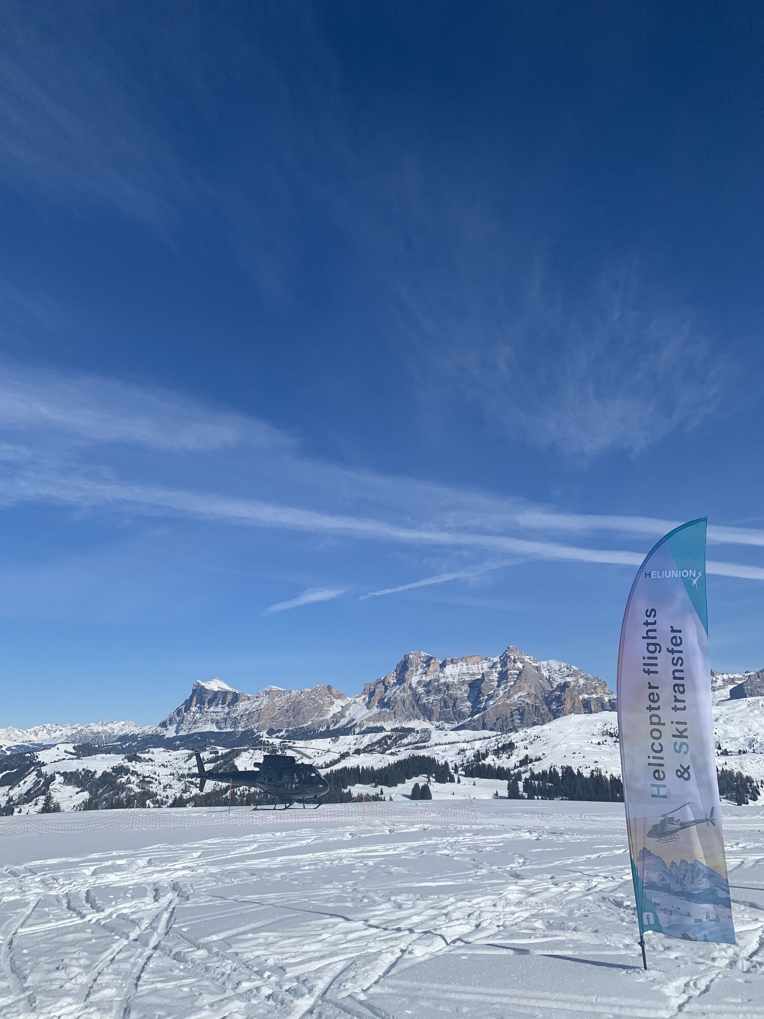
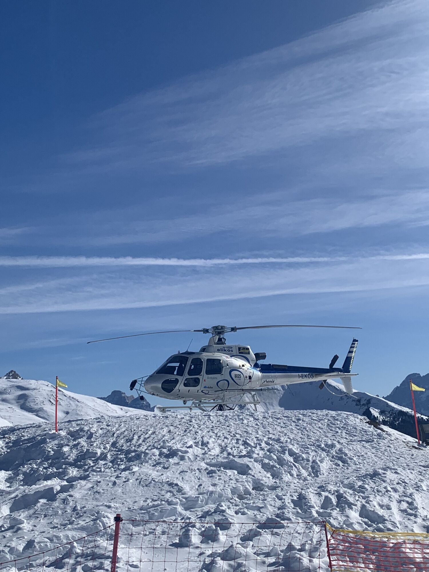
Fotos unserer User
 © Stefano “Iddo”Erstellt am 21.08.2023
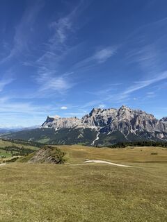
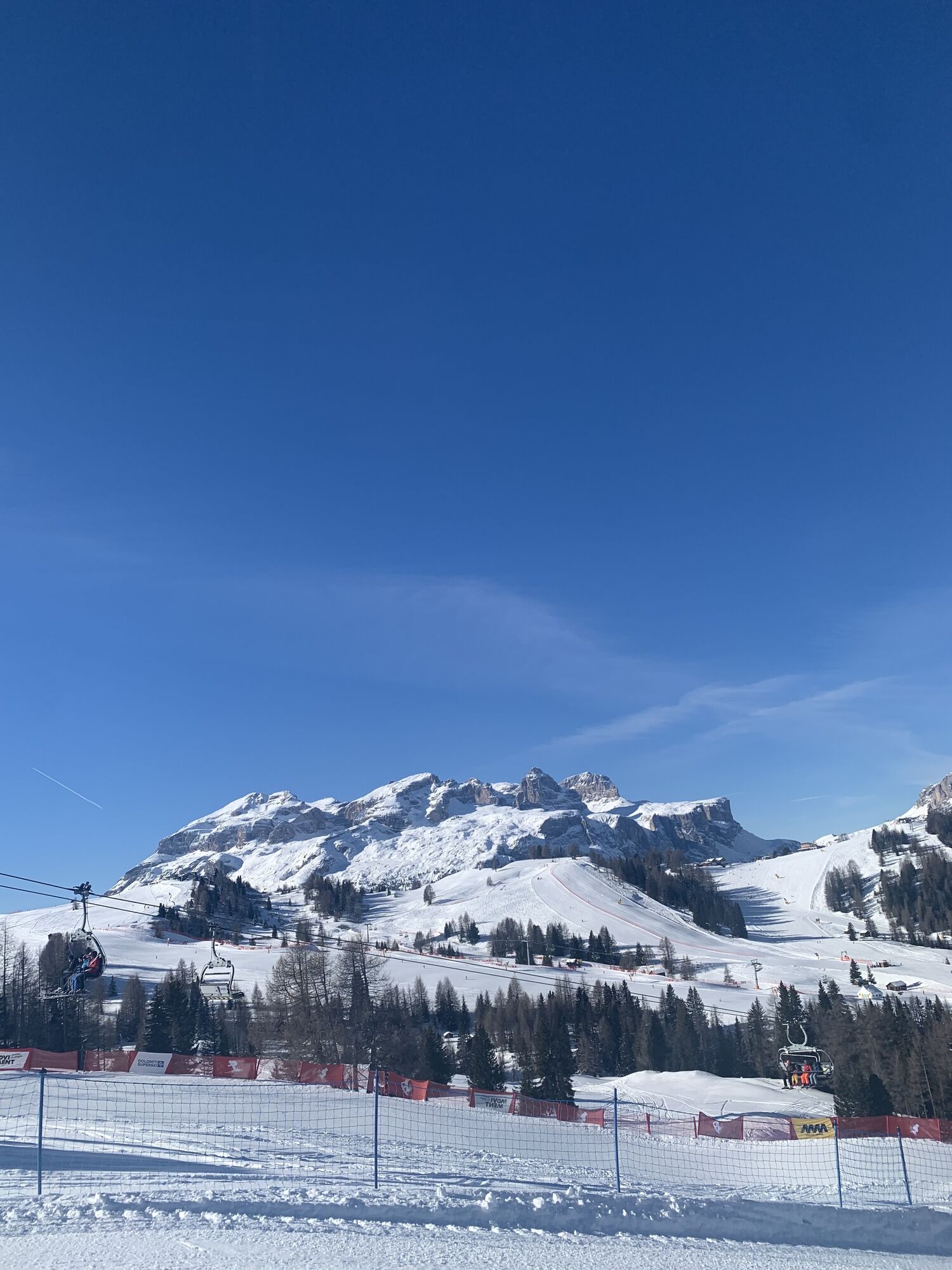
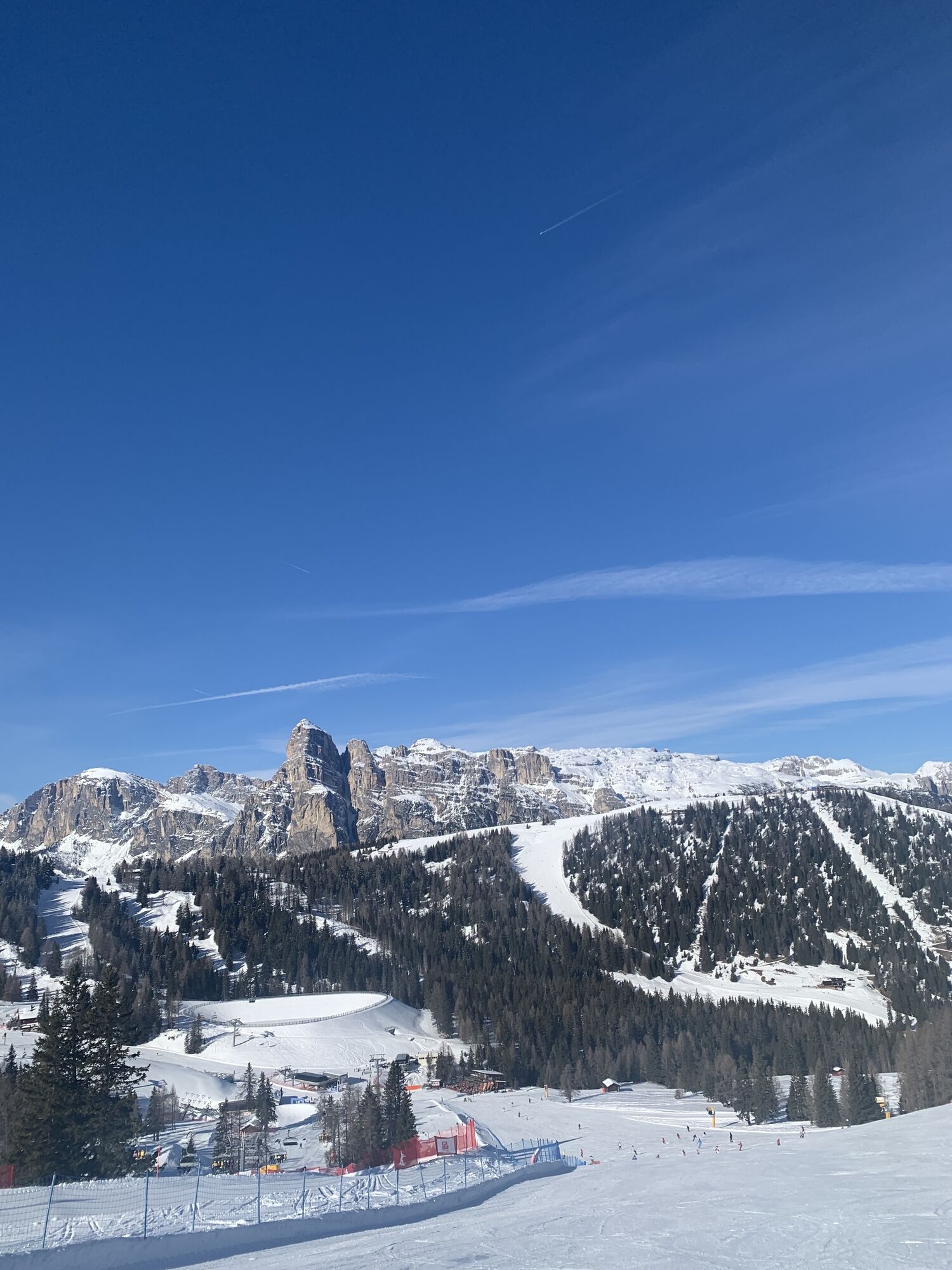
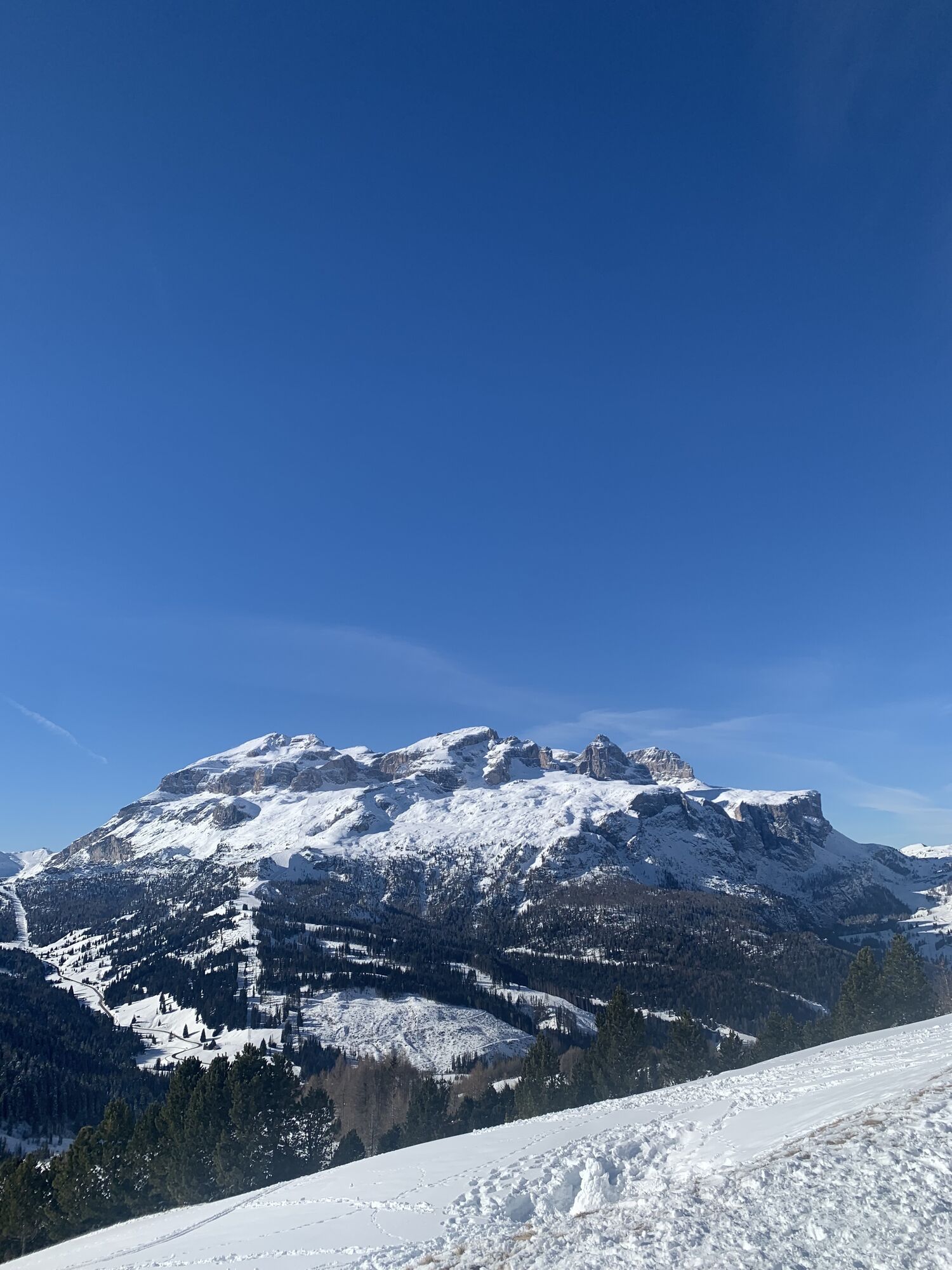
 © Gianluca BucciantiniErstellt am 04.09.2025
 © Gianluca BucciantiniErstellt am 04.09.2025
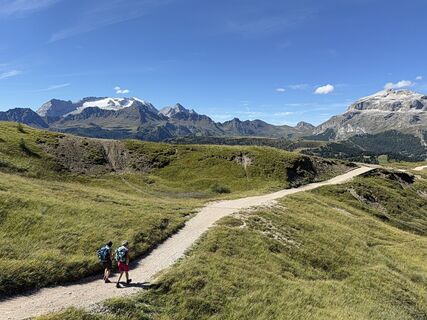 © Gianluca BucciantiniErstellt am 04.09.2025
 © Gianluca BucciantiniErstellt am 04.09.2025
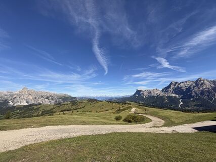 © Gianluca BucciantiniErstellt am 04.09.2025
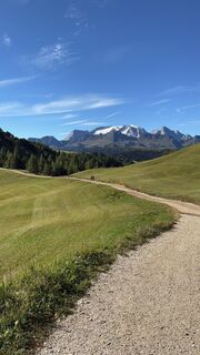 © Gianluca BucciantiniErstellt am 04.09.2025
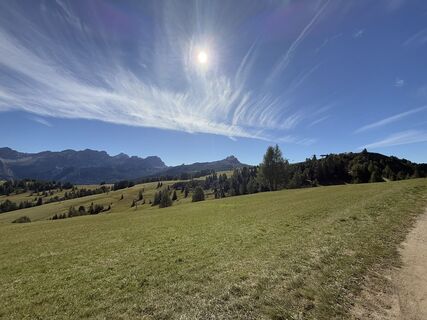 © Gianluca BucciantiniErstellt am 04.09.2025
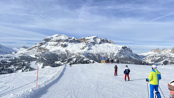
 © GipfelspeziErstellt am 30.01.2025
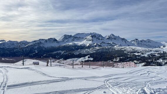 © GipfelspeziErstellt am 30.01.2025
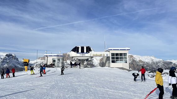 © GipfelspeziErstellt am 30.01.2025
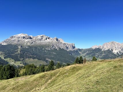 © Stefano “Iddo”Erstellt am 21.08.2023
 © Stefano “Iddo”Erstellt am 21.08.2023
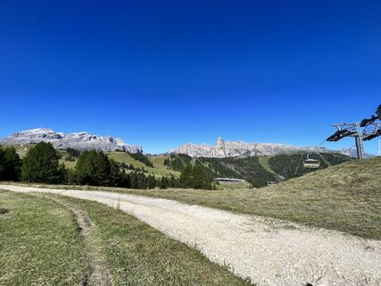 © Stefano “Iddo”Erstellt am 21.08.2023
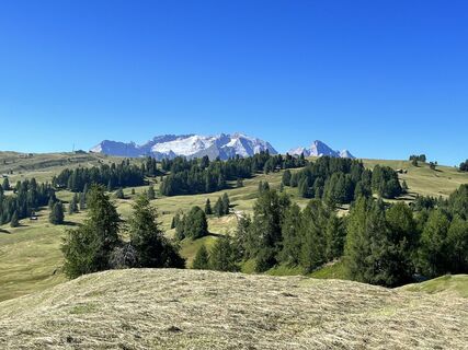 © Stefano “Iddo”Erstellt am 21.08.2023
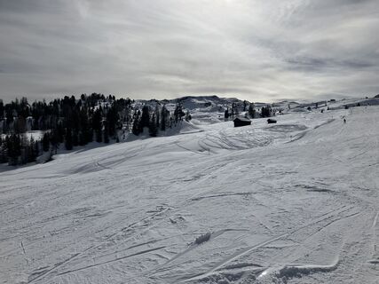
 © Bernd BluttnerErstellt am 16.02.2023
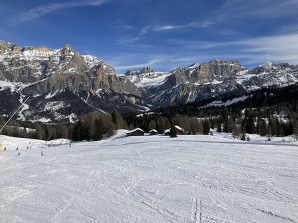 © Bernd BluttnerErstellt am 16.02.2023
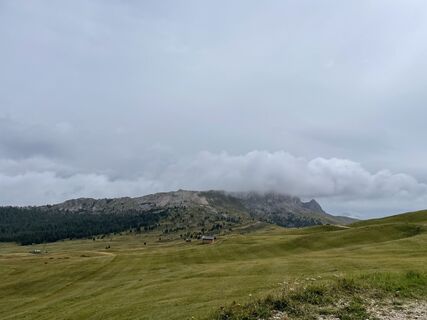
 © Klaus LiepertErstellt am 20.08.2022
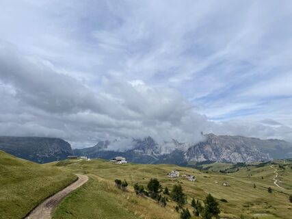 © Klaus LiepertErstellt am 20.08.2022
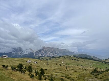 © Klaus LiepertErstellt am 20.08.2022


Wegverlauf
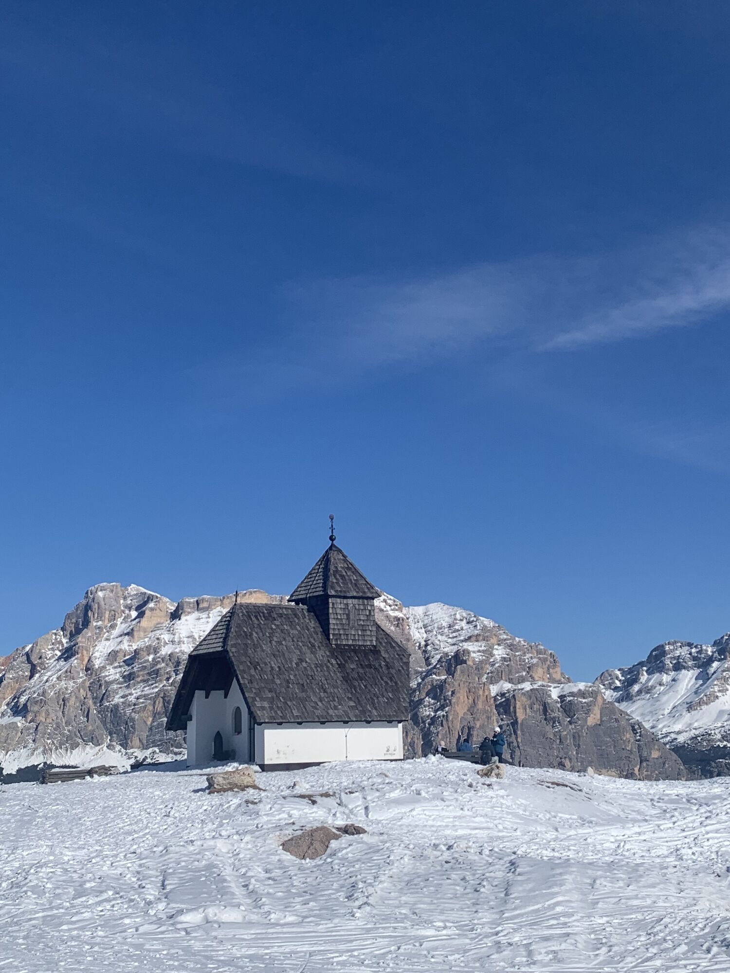
Piz la Ila
(2.078 m)
Gipfel
5,5 km
Rifugio Ciampai
(1.903 m)
Schutzhütte
13,7 km
Piz Bioch
(2.079 m)
Gipfel
16,3 km
Cherz
(2.095 m)
Gipfel
25,8 km
Pralongiá
(2.109 m)
Gipfel
29,9 km
Rifugio Ferrante / Col Alt
(1.982 m)
Schutzhütte
44,3 km
Villa Nöia
(1.419 m)
Siedlung
51,4 km
Wegverlauf
Mezzo Sellaronda
leicht
Skifahren
56,06
km
Pradüc
(1.350 m)
Gondelstation
0,4 km
Sponata
(1.353 m)
Gondelstation
0,5 km
Sotsas
(1.491 m)
Siedlung
1,4 km
Sponata
(1.713 m)
Gondelstation
1,9 km
Plaön
(1.516 m)
Siedlung
2,7 km
Ninz
(1.431 m)
Siedlung
2,9 km
Colz
(1.452 m)
Gondelstation
3,2 km
Colz
(1.428 m)
Gondelstation
3,4 km
Stern
(1.477 m)
Dorf
3,5 km
Piz la Ila
(1.420 m)
Gondelstation
3,6 km
Piz la Ila
(2.077 m)
Gondelstation
5,4 km
Club Moritzino
(2.082 m)
Restaurant
5,4 km
Piz la Ila
(2.078 m)
Gipfel
5,5 km
Ütia Bamby
(1.846 m)
Restaurant
6,6 km
La Freina
(1.791 m)
Gondelstation
6,9 km
La Freina
(1.994 m)
Gondelstation
7,6 km
Piz de Surega
(2.011 m)
Gipfel
7,6 km
Piz Sorega
(1.546 m)
Gondelstation
11,3 km
Surega
(1.605 m)
Siedlung
11,5 km
Piz Sorega
(2.003 m)
Gondelstation
13,0 km
Piz de Surega
(2.011 m)
Gipfel
13,1 km
Rifugio Ciampai
(1.903 m)
Schutzhütte
13,7 km
Ciampai
(1.903 m)
Gondelstation
13,9 km
Ciampai
(2.017 m)
Gondelstation
14,6 km
Biok
(1.902 m)
Gondelstation
15,3 km
Biok
(2.078 m)
Gondelstation
16,2 km
Piz Bioch
(2.079 m)
Gipfel
16,3 km
La Baita
(1.897 m)
Restaurant
17,7 km
Pralongià II
(1.897 m)
Gondelstation
17,7 km
Pralongià II
(2.128 m)
Gondelstation
18,9 km
Ütia La Marmotta
(1.942 m)
Restaurant
20,0 km
Incisa
(1.927 m)
Gondelstation
20,2 km
Ütia Incisa
(1.927 m)
Schutzhütte
20,3 km
Vizza
(1.760 m)
Gondelstation
21,8 km
Rifugio La Viza
(1.760 m)
Schutzhütte
21,9 km
Malga di Cherz
(1.820 m)
Flur/Gelände
22,3 km
Vizza
(2.080 m)
Gondelstation
23,6 km
Cherz II
(1.849 m)
Gondelstation
24,9 km
Cherz II
(2.081 m)
Gondelstation
25,8 km
Cherz I
(2.095 m)
Gondelstation
25,8 km
Cherz
(2.095 m)
Gipfel
25,8 km
Cherz-Hütte
(2.082 m)
Schutzhütte
25,8 km
Malga di Cherz
(1.820 m)
Flur/Gelände
27,4 km
Rifugio La Viza
(1.760 m)
Schutzhütte
27,8 km
Vizza
(1.760 m)
Gondelstation
27,8 km
Rifugio La Ciasota
(1.757 m)
Schutzhütte
27,9 km
Masarei
(1.758 m)
Gondelstation
28,0 km
Masarei
(2.138 m)
Gondelstation
29,9 km
Pralongiá
(2.109 m)
Gipfel
29,9 km
Pralongià
(2.127 m)
Restaurant
30,1 km
Ütia Malga Saraghes
(1.837 m)
Restaurant
32,5 km
Armentarola
(1.692 m)
Gondelstation
34,1 km
Piz Sorega
(1.546 m)
Gondelstation
35,7 km
Surega
(1.605 m)
Siedlung
35,9 km
Piz Sorega
(2.003 m)
Gondelstation
37,4 km
Piz de Surega
(2.011 m)
Gipfel
37,5 km
Rifugio Ciampai
(1.903 m)
Schutzhütte
38,1 km
La Brancia
(1.901 m)
Gondelstation
38,2 km
La Brancia
(2.040 m)
Gondelstation
38,8 km
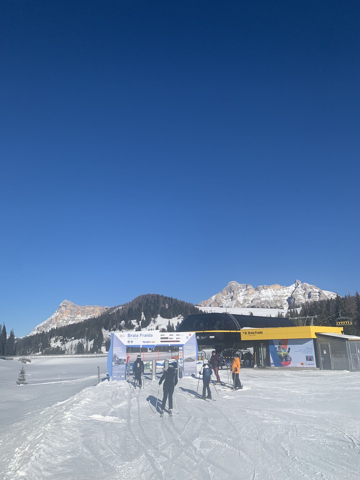
Braia Fraida
(2.022 m)
Gondelstation
39,1 km
La Baita
(1.897 m)
Restaurant
40,7 km
Pralongià I
(1.730 m)
Gondelstation
41,8 km
Capanna Nera
(1.724 m)
Gondelstation
41,9 km
Capanna Nera
(1.615 m)
Gondelstation
42,8 km
Costes da l'Ega
(1.610 m)
Gondelstation
42,8 km
Plan
(1.616 m)
Siedlung
43,1 km
zur Hl. Katharina von Alexandrien
(1.569 m)
Andachtsstätte
43,2 km
la flu
(1.610 m)
Siedlung
43,2 km
Corvara
(1.568 m)
Dorf
43,4 km
Col Alto
(1.563 m)
Gondelstation
43,4 km
Col
(1.619 m)
Siedlung
43,6 km
Rifugio Ferrante / Col Alt
(1.982 m)
Schutzhütte
44,3 km
Col Alto
(2.000 m)
Gondelstation
44,3 km
Braia Fraida
(1.898 m)
Gondelstation
44,9 km
Prè Ciablun
(2.017 m)
Gondelstation
45,8 km
Braia Fraida
(2.025 m)
Gondelstation
45,9 km
Braia Fraida
(2.022 m)
Gondelstation
46,2 km
Roby
(1.926 m)
Gondelstation
47,0 km
Pre dai Corf
(1.922 m)
Gondelstation
47,1 km
Pre dai Corf
(2.058 m)
Gondelstation
47,8 km
Piz la Ila
(1.420 m)
Gondelstation
50,6 km
Stern
(1.477 m)
Dorf
50,6 km
La Rüa
(1.428 m)
Gondelstation
50,8 km
Colz
(1.428 m)
Gondelstation
50,8 km
Colz
(1.452 m)
Gondelstation
51,0 km
Doninz
(1.430 m)
Gondelstation
51,2 km
Villa Nöia
(1.419 m)
Siedlung
51,4 km
Gardenaccia
(1.432 m)
Gondelstation
51,4 km
Ninz
(1.431 m)
Siedlung
51,5 km
Plaön
(1.516 m)
Siedlung
51,8 km
Gardenaccia
(1.786 m)
Gondelstation
52,7 km
Sponata Hutte
(1.711 m)
Restaurant
53,0 km
Sompunt
(1.381 m)
Siedlung
54,5 km
Pradüc
(1.350 m)
Gondelstation
54,9 km
Pradüc
(1.351 m)
Gondelstation
55,8 km
Baby Pedraces
(1.345 m)
Gondelstation
55,9 km
Abtei
(1.327 m)
Dorf
56,0 km
Noch keine Bewertungen
Webcams der Tour
Pedraces
La Villa - Alta Badia
Colfosco
St. Kassian - Armentarola
St. Kassian - Armentarola
Rifugio Bioch - Alta Badia
Arabba - Bec de Roces
Moritzino Club - Piz la Ila
Piz Arlara
Piz Arlara
Piz Arlara
Piz Arlara
Piz Arlara
Piz Arlara
Badia - La Crusc
St. Kassian - Garni Irsara
Piz La Ila
Piz La Ila
Piz Sorega
Piz Sorega
Piz Sorega
Piz Sorega
Boé
Boé
Boé
Boé
Boé
Boé
La Crusc
La Crusc
La Crusc
La Crusc
La Crusc
La Crusc
Piz La Ila
Piz La Ila
Piz Sorega
Piz Sorega
La Villa
Mezdi Bergstation
Beliebte Touren in der Nähe
- 4,7
Anello Passo Pordoi-Forcella P-Piz Boè
mittelWanderung10,6 km - 4,6
Pordoijoch - Sass Pordoi - Pordoi Scharte - Piz Boè - Bamberger Hütte - Pordoi Scharte - Pordoijoch
schwerWanderung8,39 km - 4,7
Langkofel-Umrundung
mittelWanderung12,9 km - 4,5
Dolomiten Sellagruppe, Alb. Col di Lana, Sas de Pordoi, Piz Boé retour 22.06.2016
mittelWanderung5 km - 4,7
Der Munkelweg unter den Geislerspitzen
mittelWanderung9,11 km - 4,9
Lang- und Plattkofel Umrundung
mittelWanderung17,5 km - 4,6
Umrundung Langkofel und Plattkofel, Gipfel Plattkofel
schwerWanderung21,8 km - 4,8
Sasslong Rundwanderung
mittelWanderung10,8 km - 4,0
Steviahütte - Nadelscharte, Regensburger Hütte
mittelWanderung10 km - 4,3
Seceda und Regensburger Hütte
mittelWanderung14,1 km
Wandern & Tracking

Über 550.000 Tourenvorschläge, detailliertes Kartenmaterial und ein intuitiver Routenplaner machen die App zum Must-have für alle Naturbegeisterten.

Verpasse keine Angebote und Inspirationen für deinen nächsten Urlaub
Zum Newsletter anmelden
Fehler
Ein Fehler ist aufgetreten. Bitte versuche es erneut.Vielen Dank für deine Anmeldung
Deine E-Mail-Adresse wurde in den Verteiler eingetragen.
Touren in ganz Europa
Österreich Schweiz Deutschland Italien Slowenien Frankreich Niederlande Belgien Polen Liechtenstein Tschechien Slowakei Spanien Kroatien Bosnien und Herzegowina Luxemburg Andorra Portugal Island Vereinigtes Königreich Irland Griechenland Albanien Nordmazedonien Malta Norwegen Montenegro Moldau Kosovo Ungarn San Marino Rumänien Estland Lettland Belarus Zypern Litauen Serbien Bulgarien Monaco Dänemark Schweden Finnland