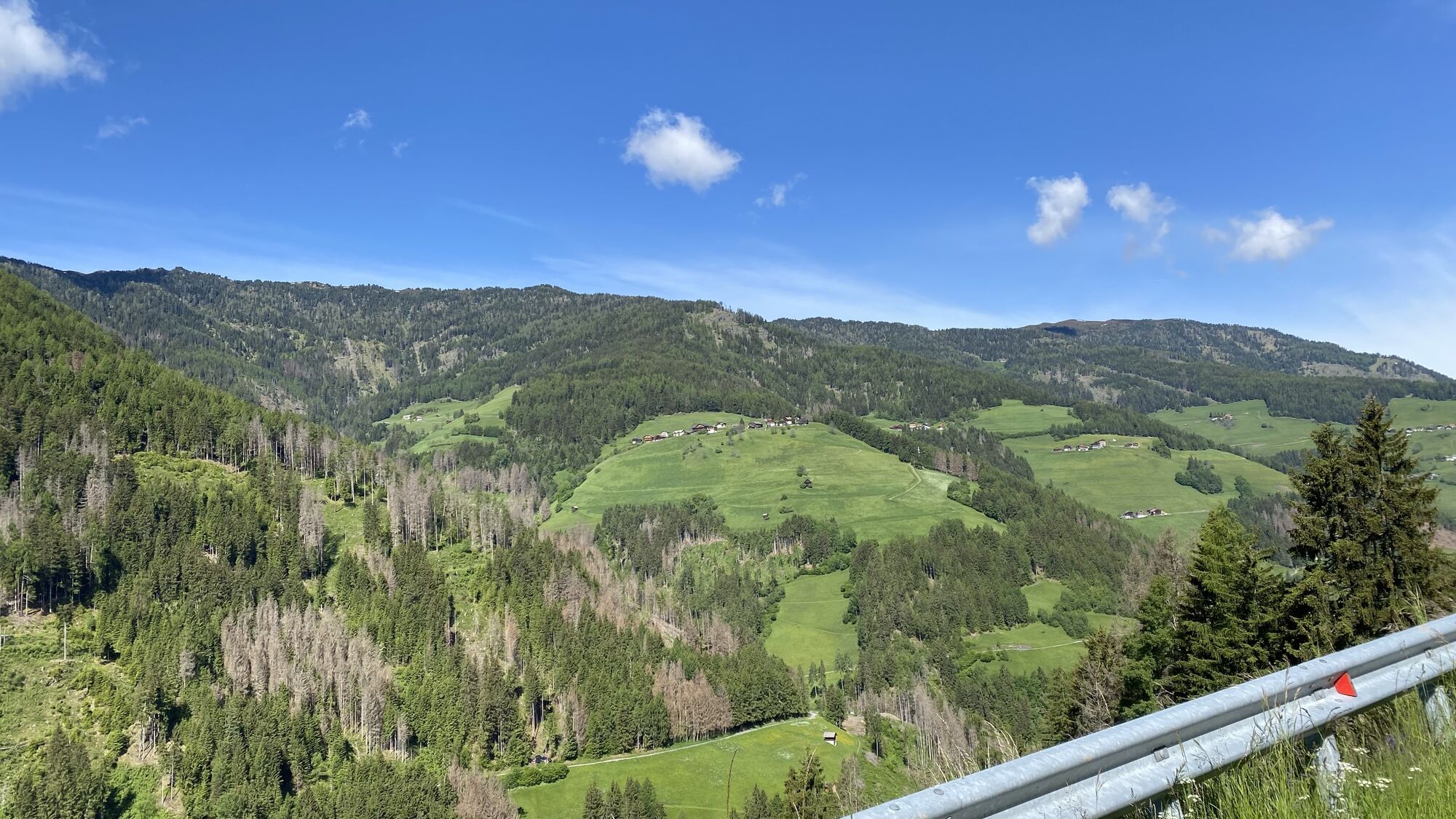
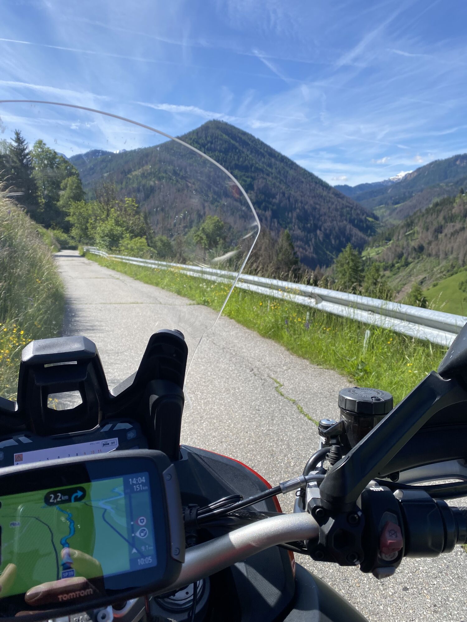
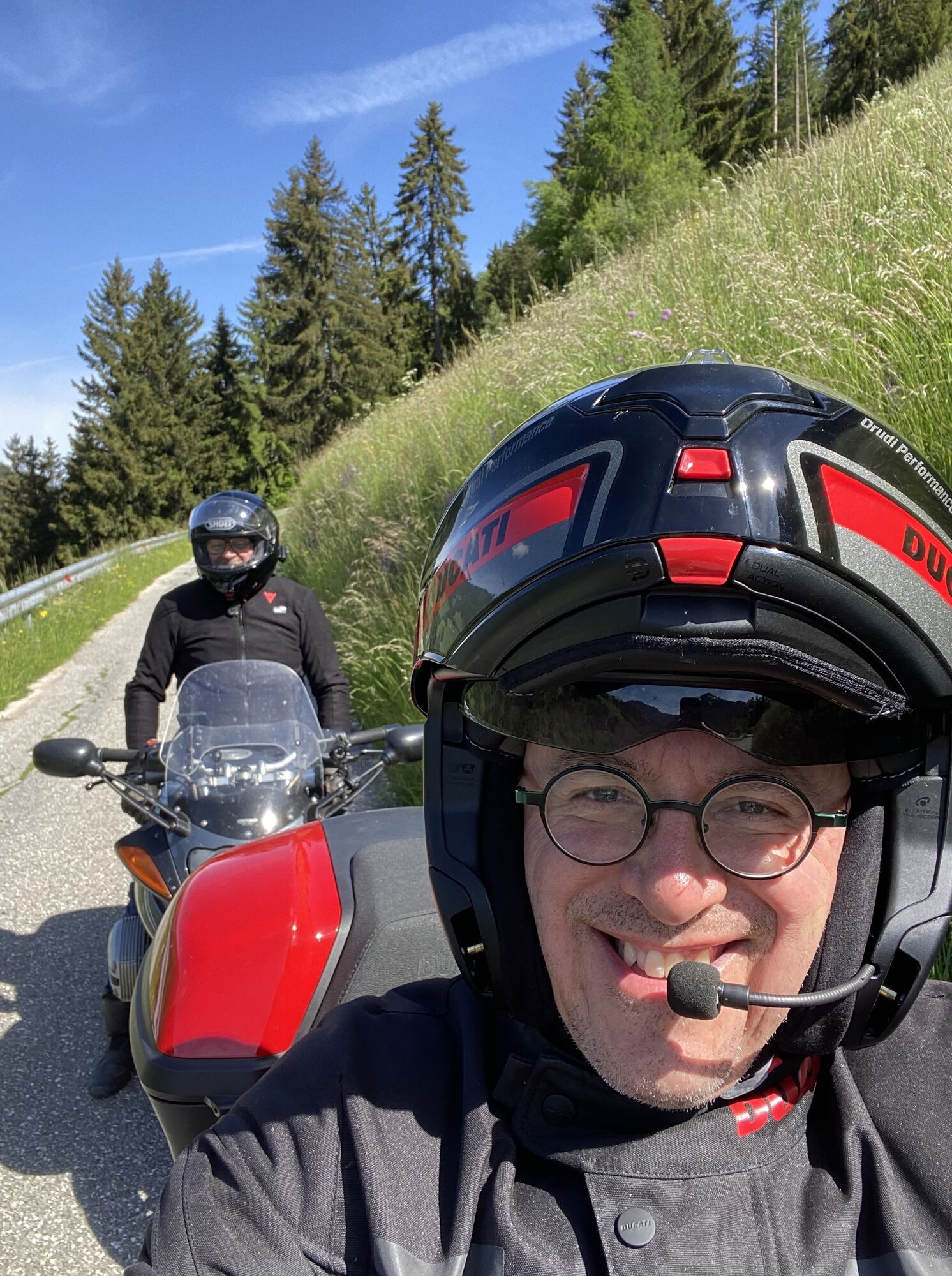
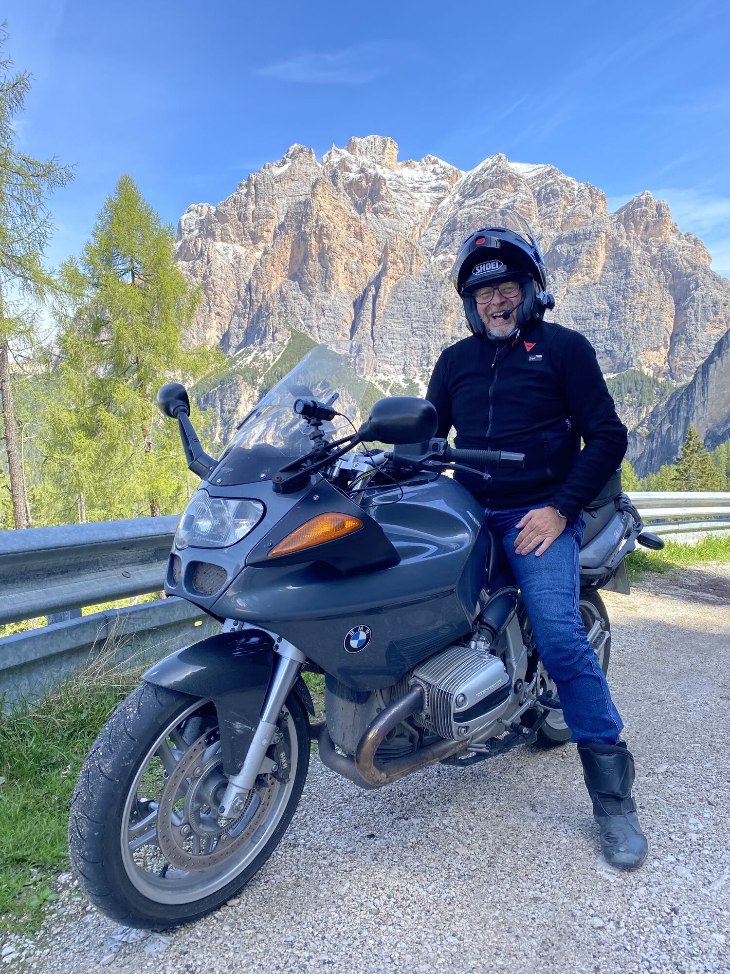
Col S.Lucia, Trentino-Alto Adige/Südtirol/Italia starting Hotel Kristall Geiselsberg
mittel
Navigieren
Navigieren
Hol diese Tour auf dein Handy
Col S.Lucia, Trentino-Alto Adige/Südtirol/Italia starting Hotel Kristall Geiselsberg
mittel
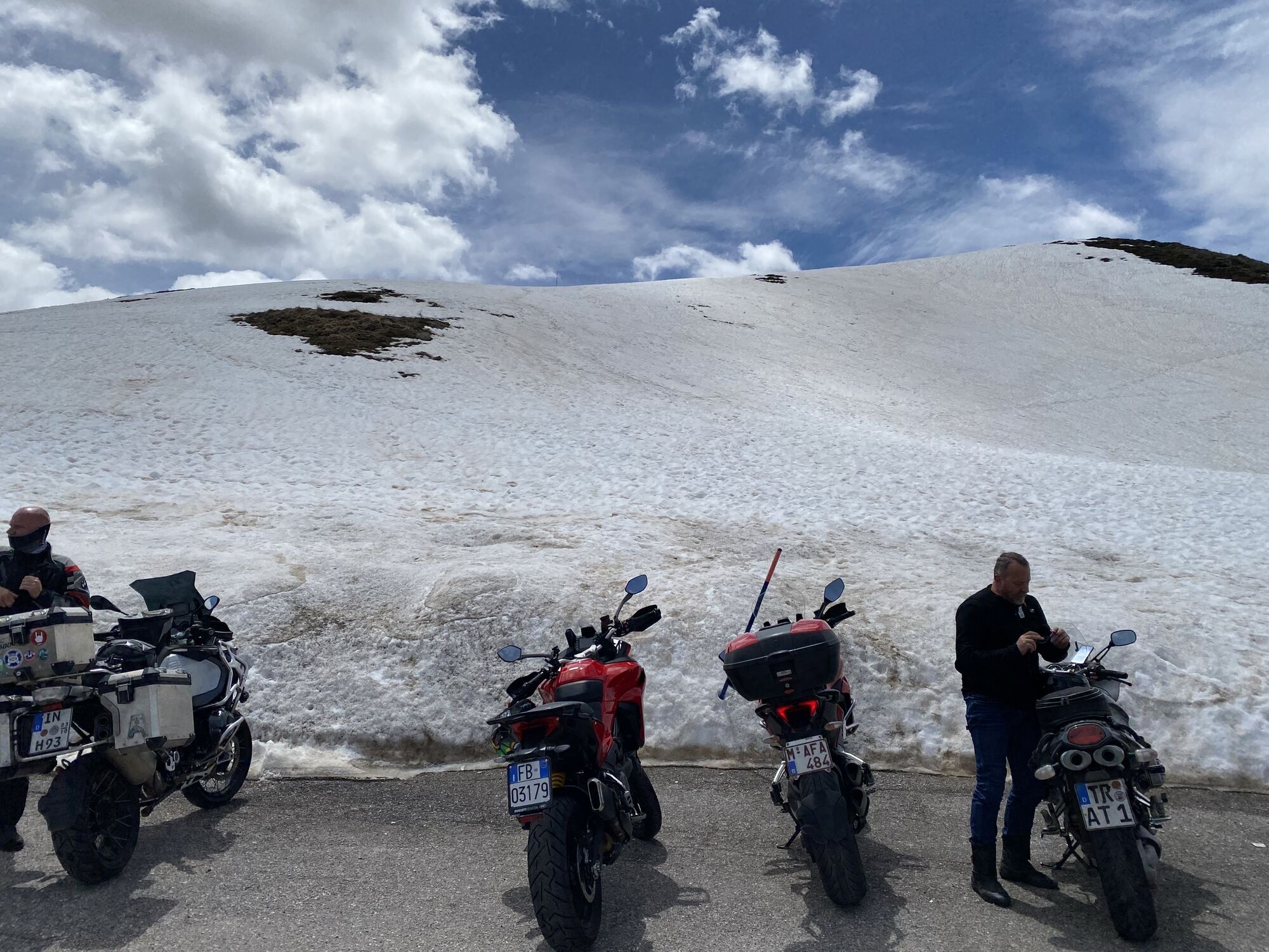
Motorrad
163,38
km
QR-Code scannen und Navigation in der bergfex App beginnen

Wandern & Tracking


Col S.Lucia, Trentino-Alto Adige/Südtirol/Italia starting Hotel Kristall Geiselsberg
mittel
Distanz
163,38
km
Dauer
03:33
h
Aufstieg
3.808
hm
Seehöhe
1.001 -
2.237
m
Track-Download
Col S.Lucia, Trentino-Alto Adige/Südtirol/Italia starting Hotel Kristall Geiselsberg
mittel
Motorrad
163,38
km


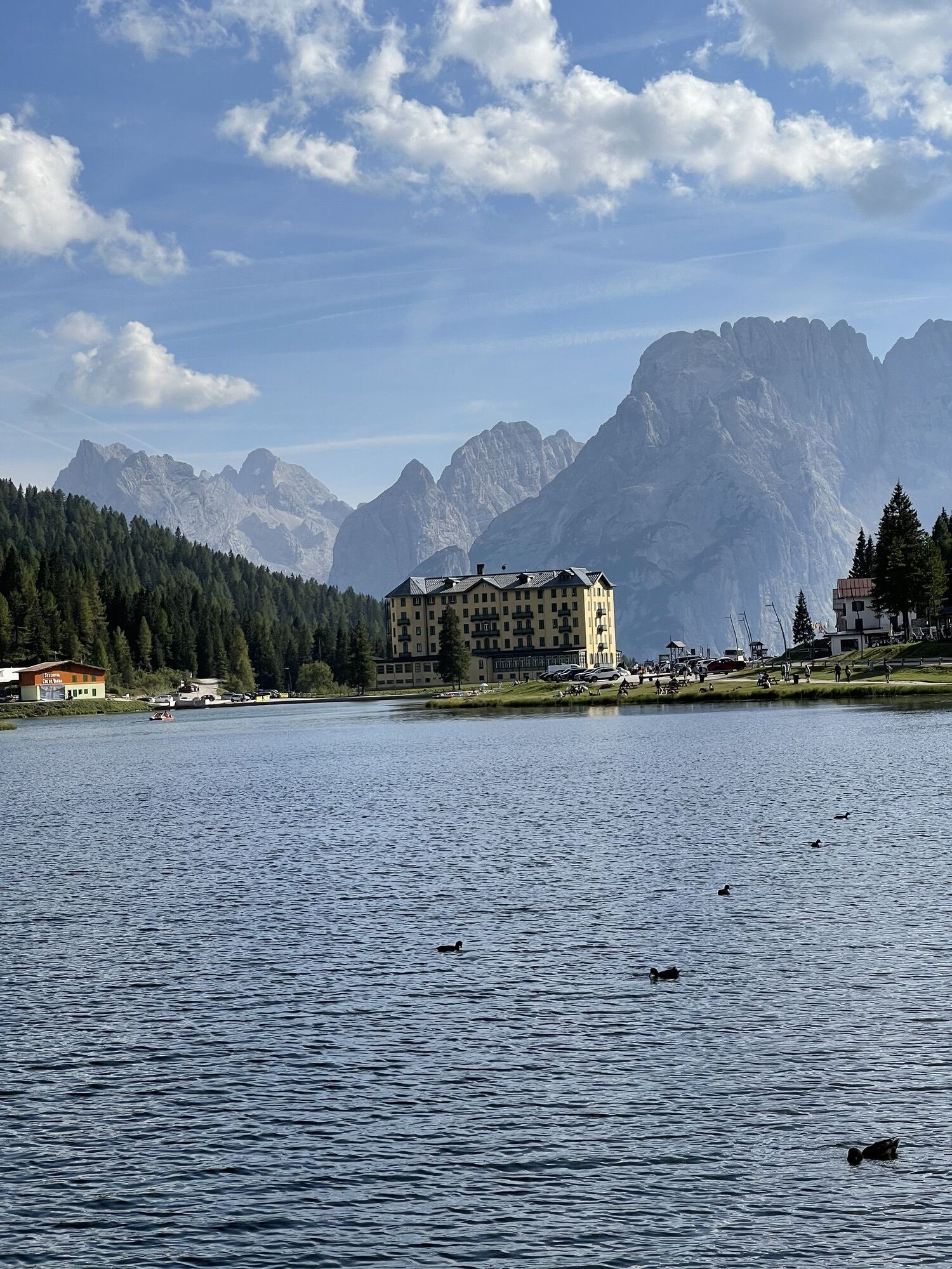
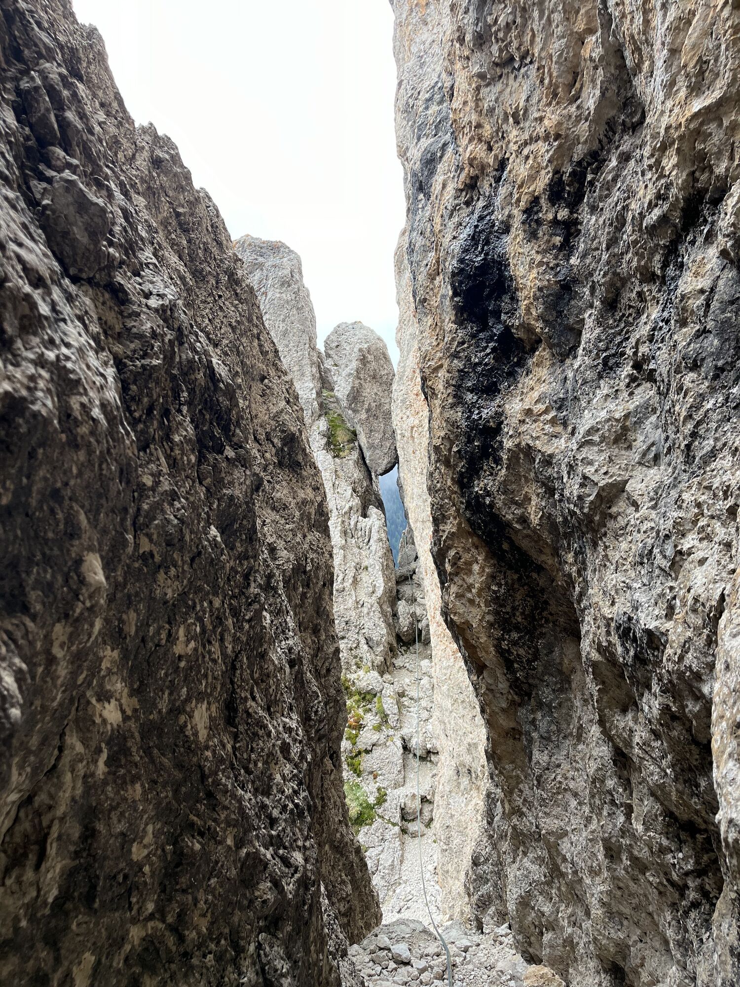
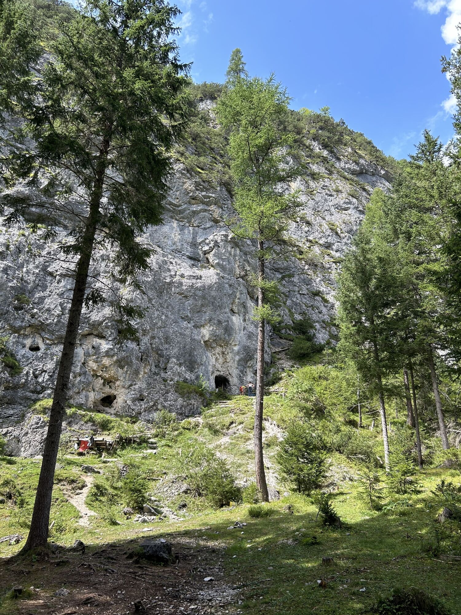
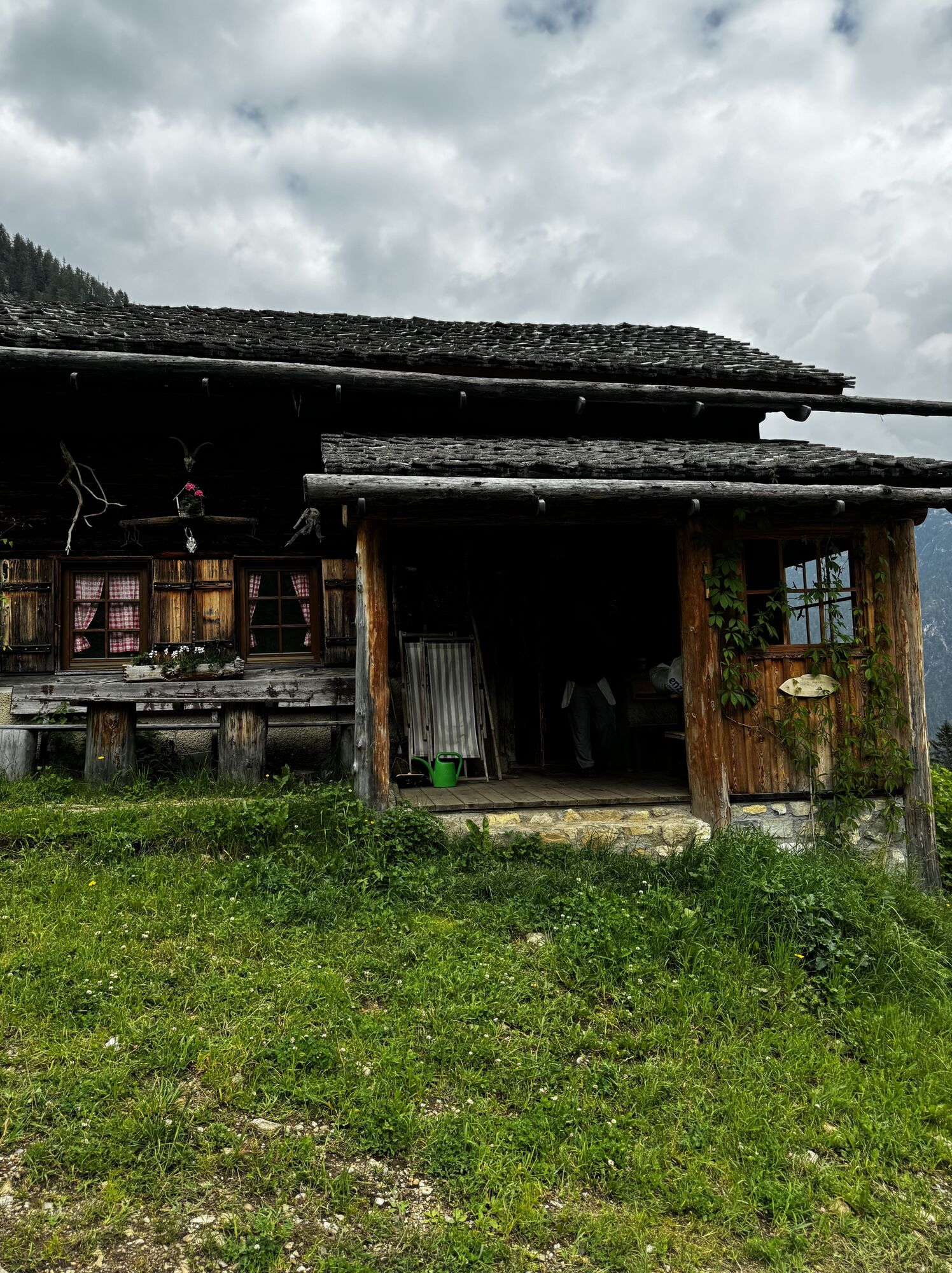
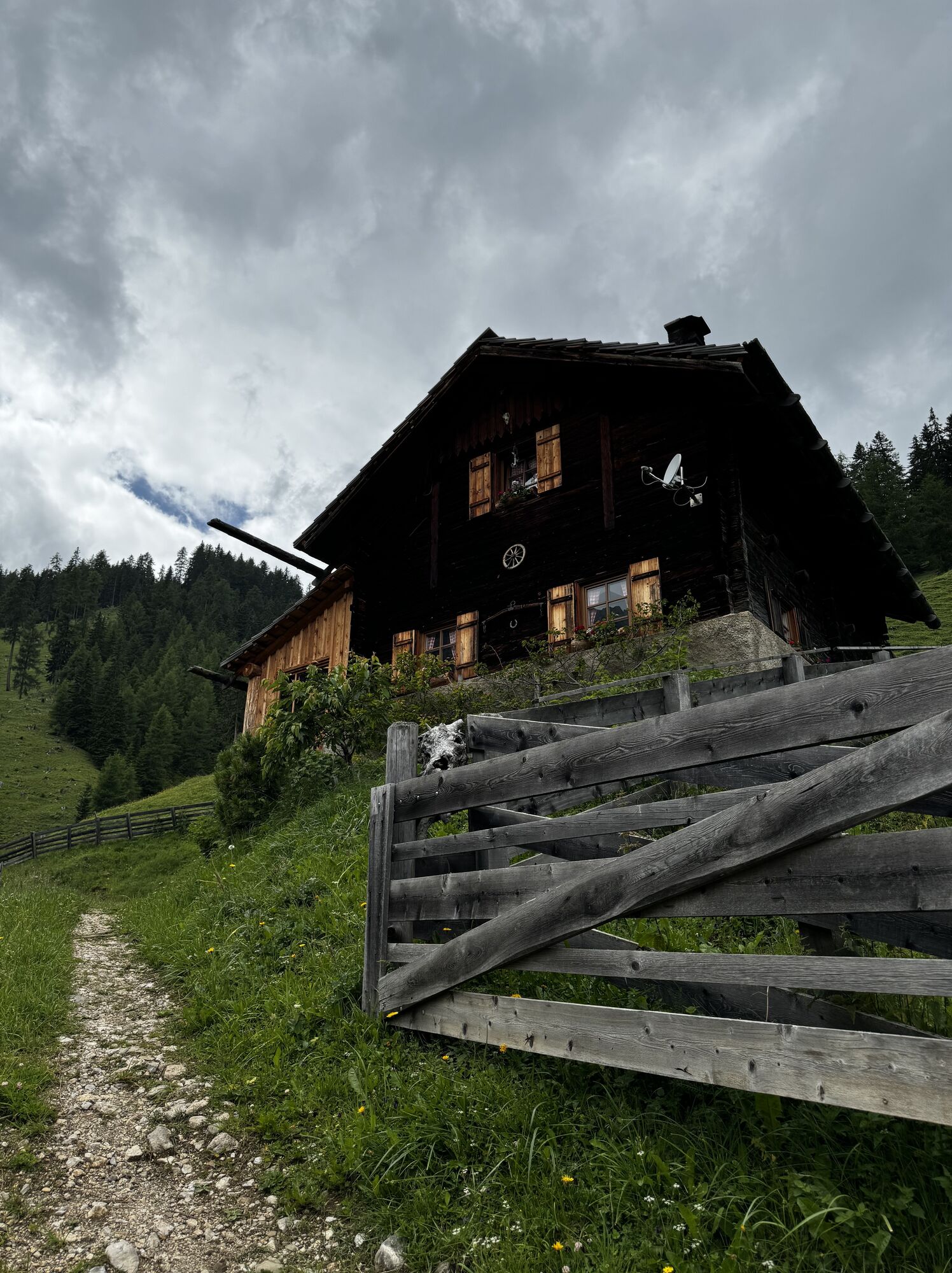
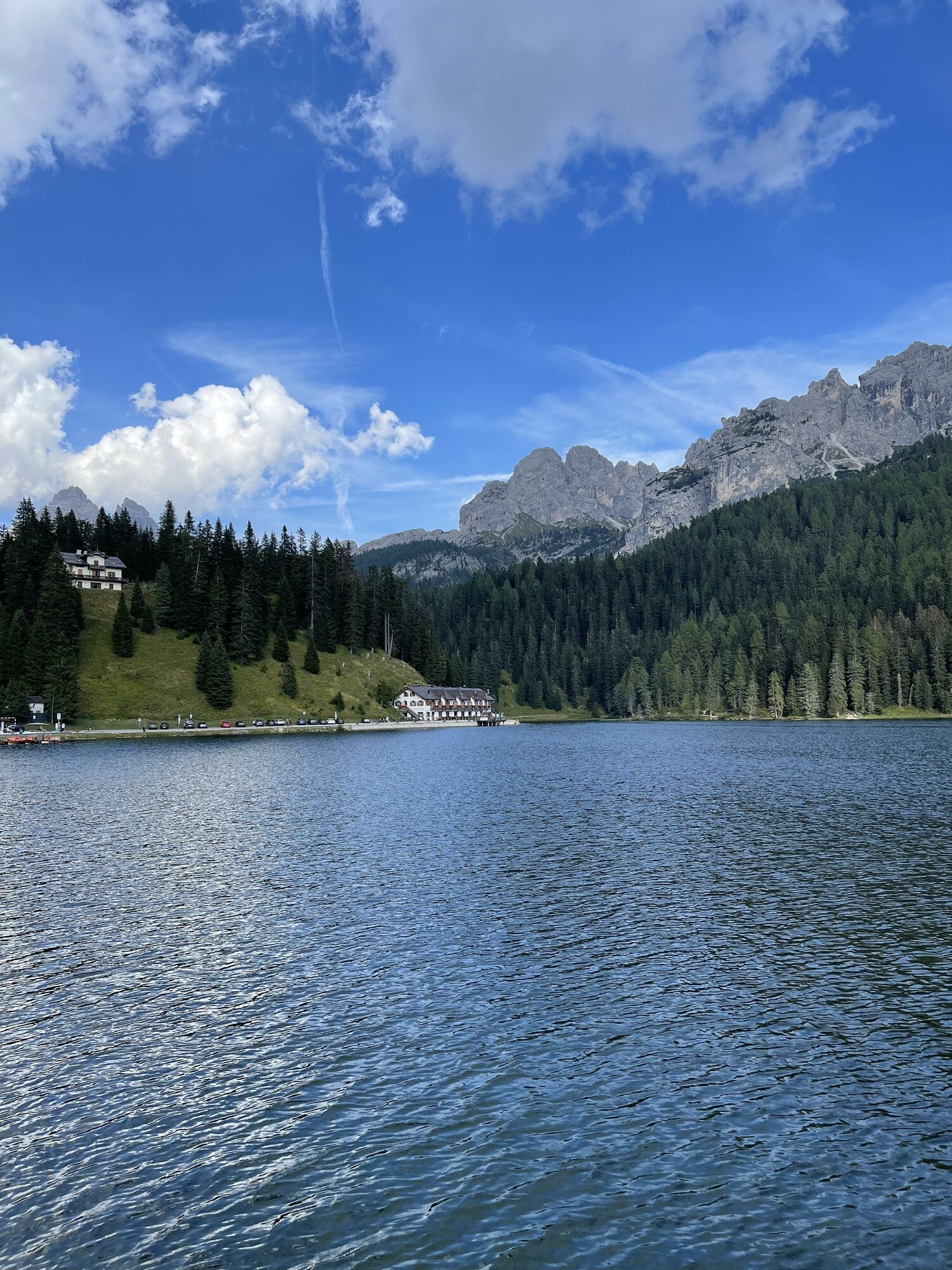
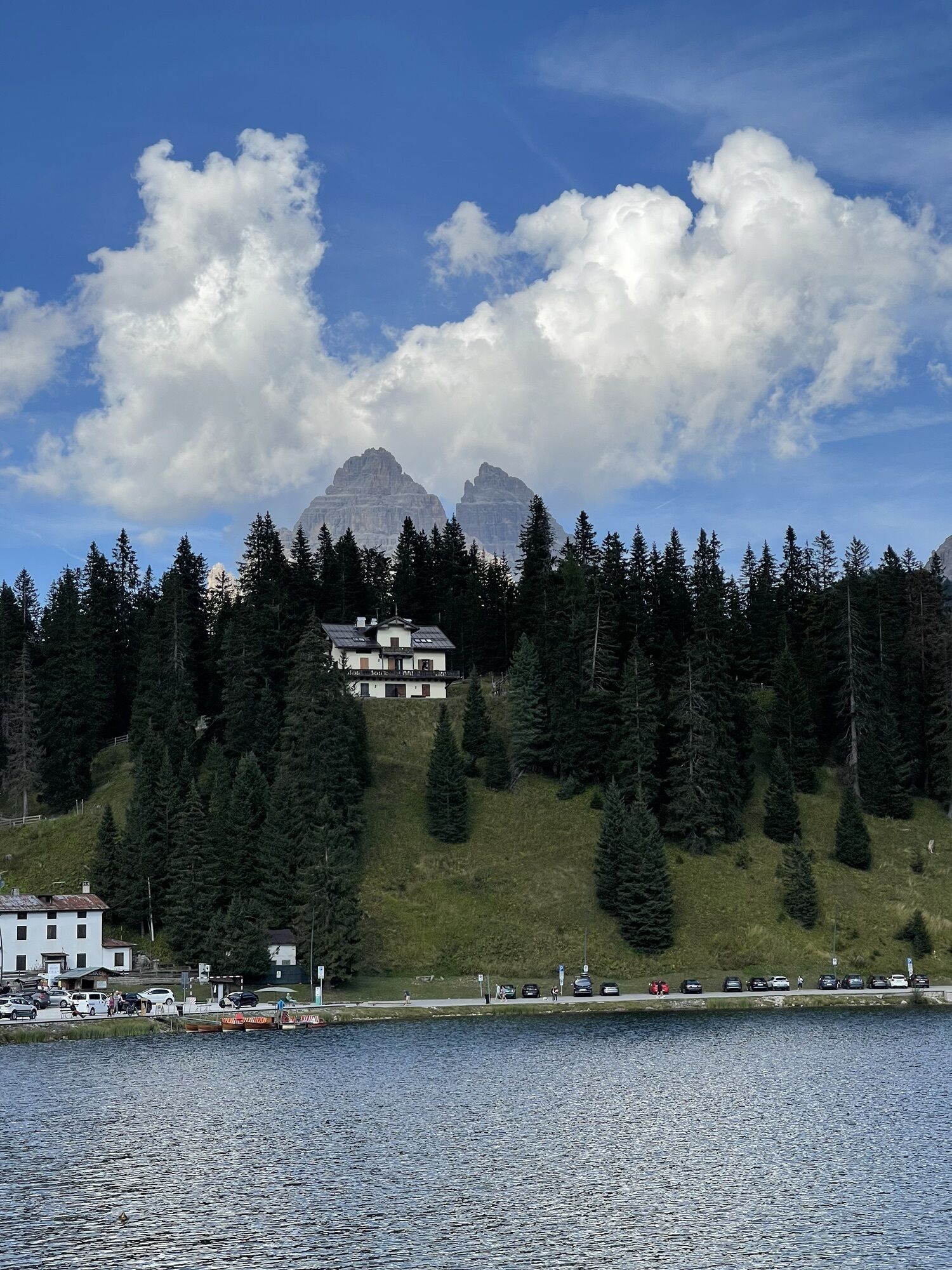
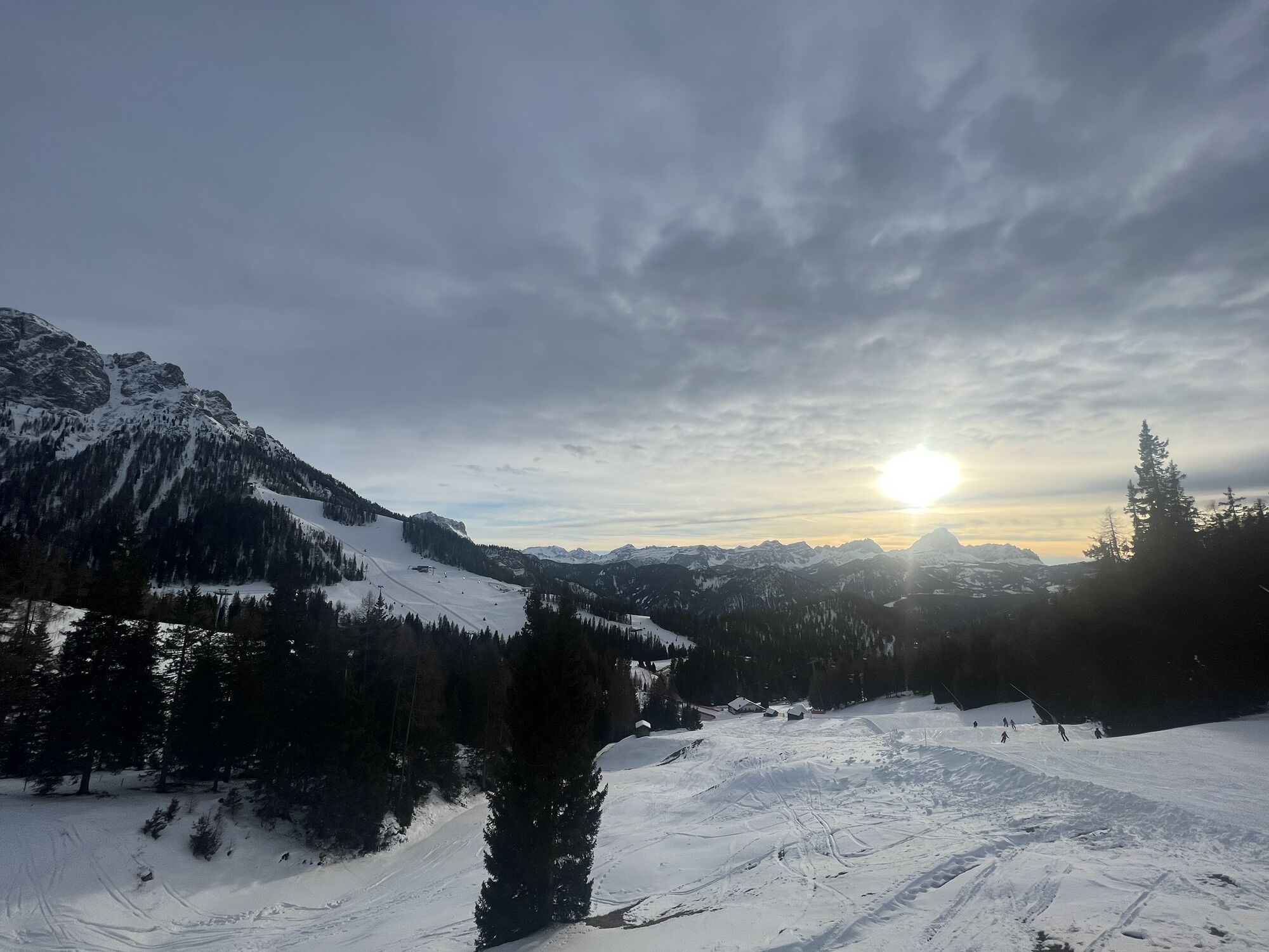
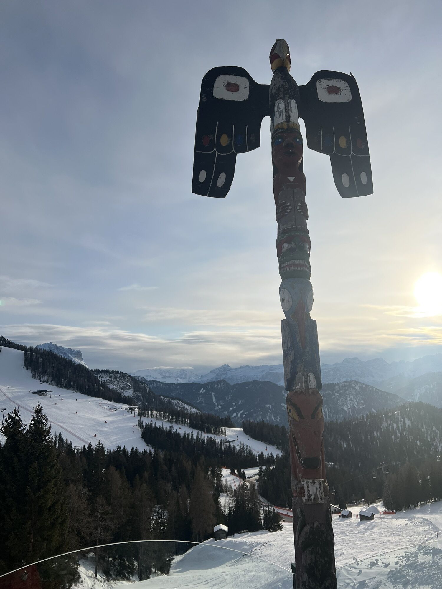
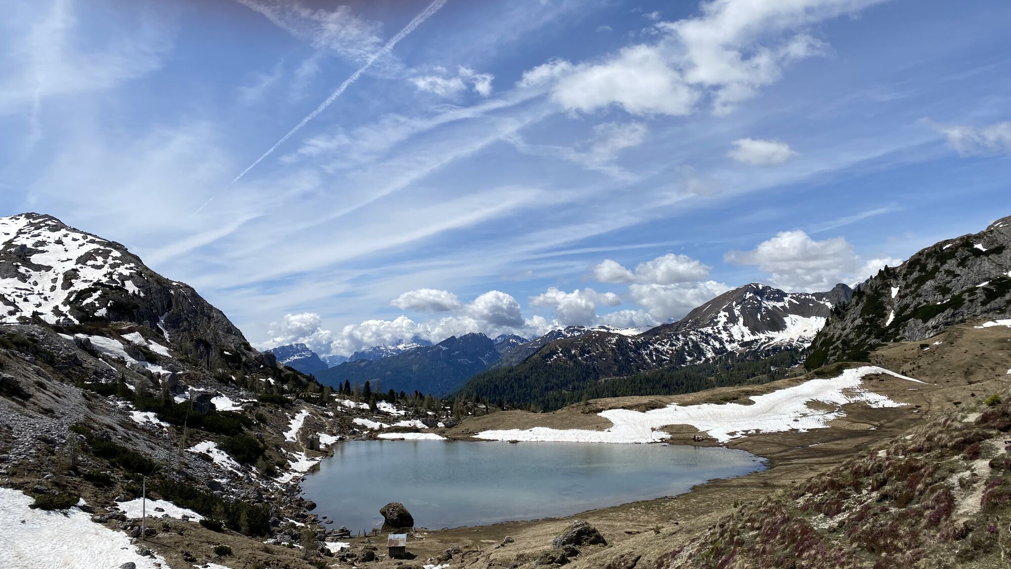
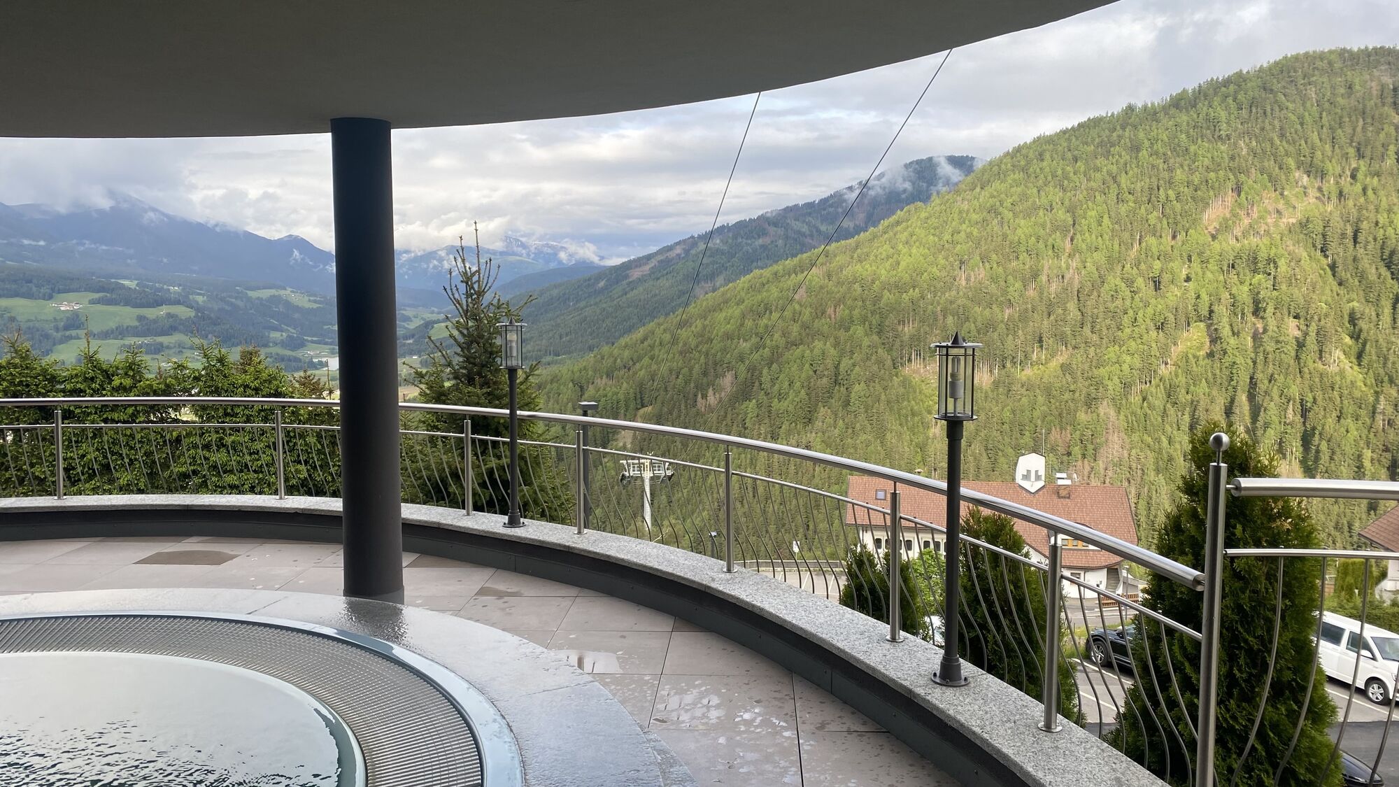
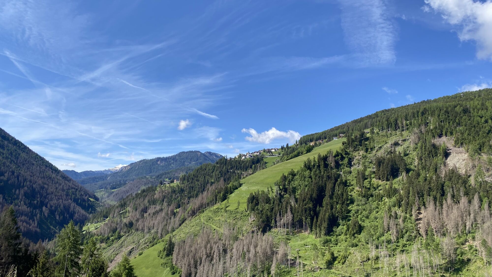
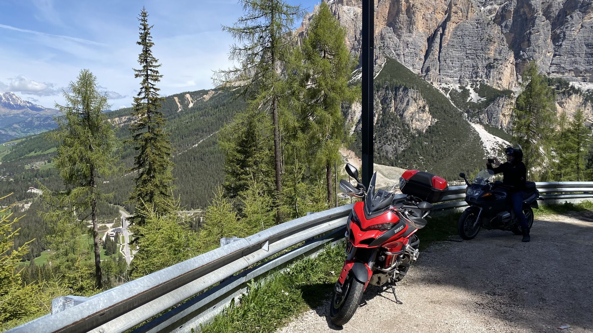
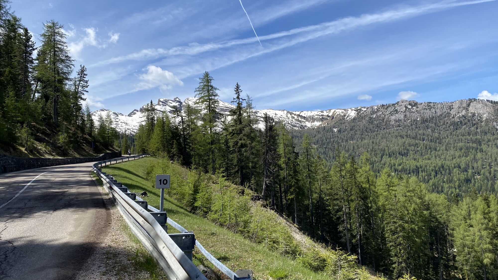
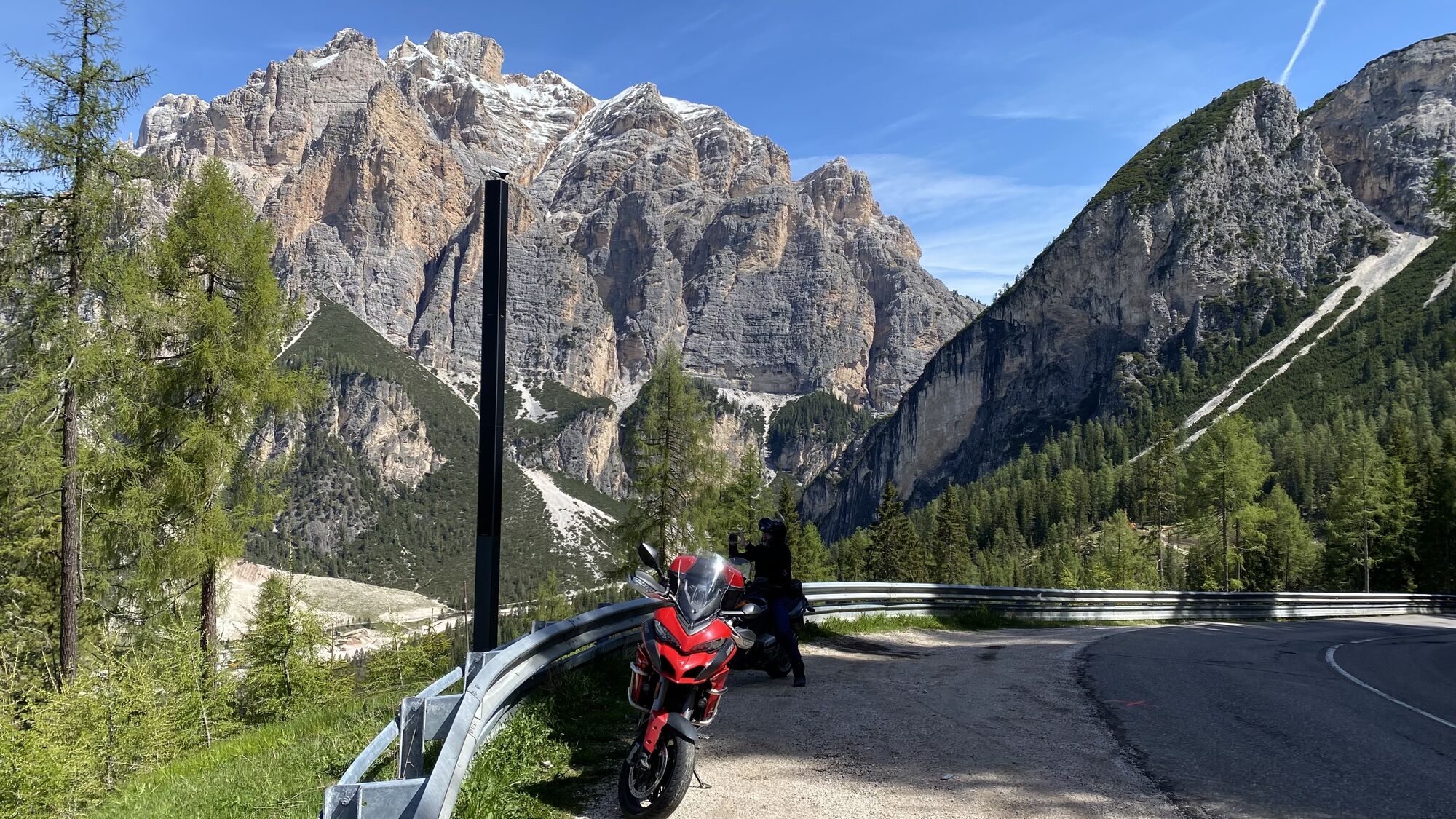
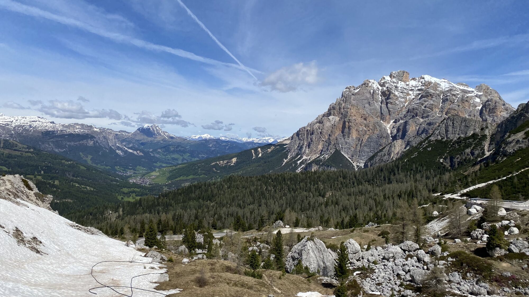
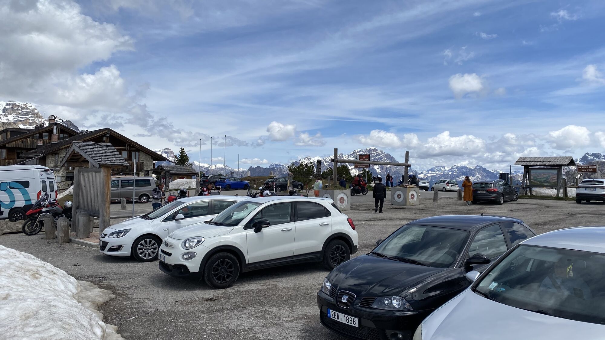
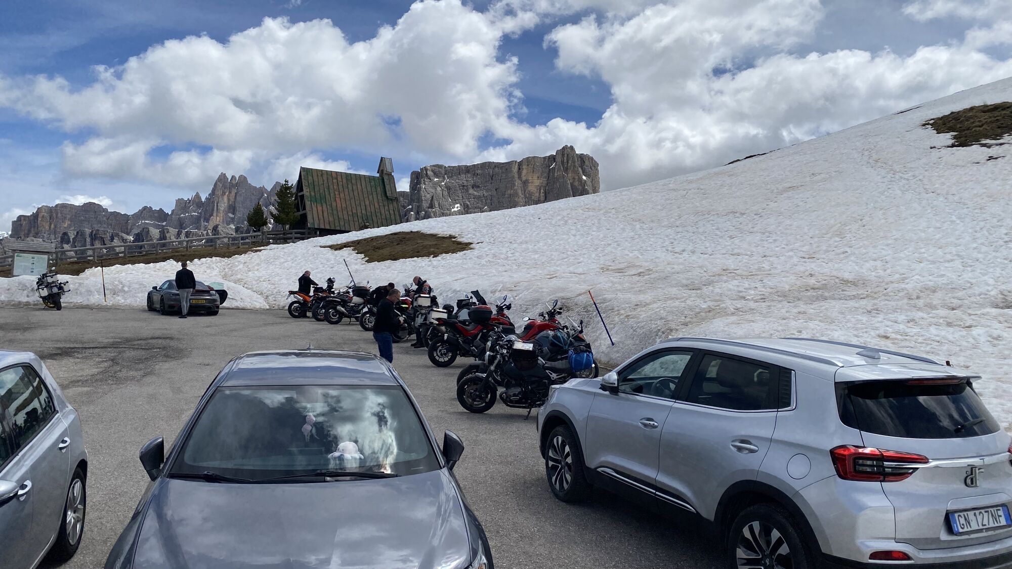
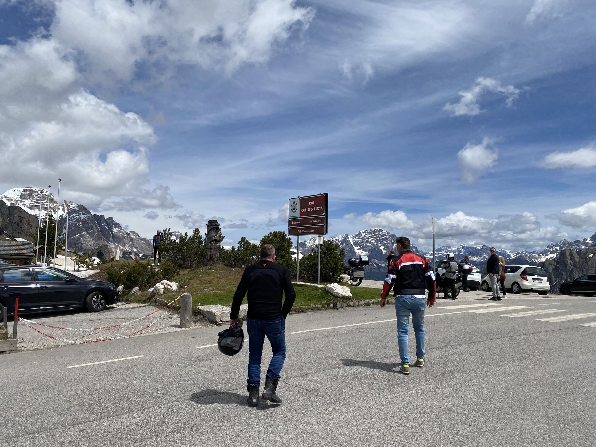
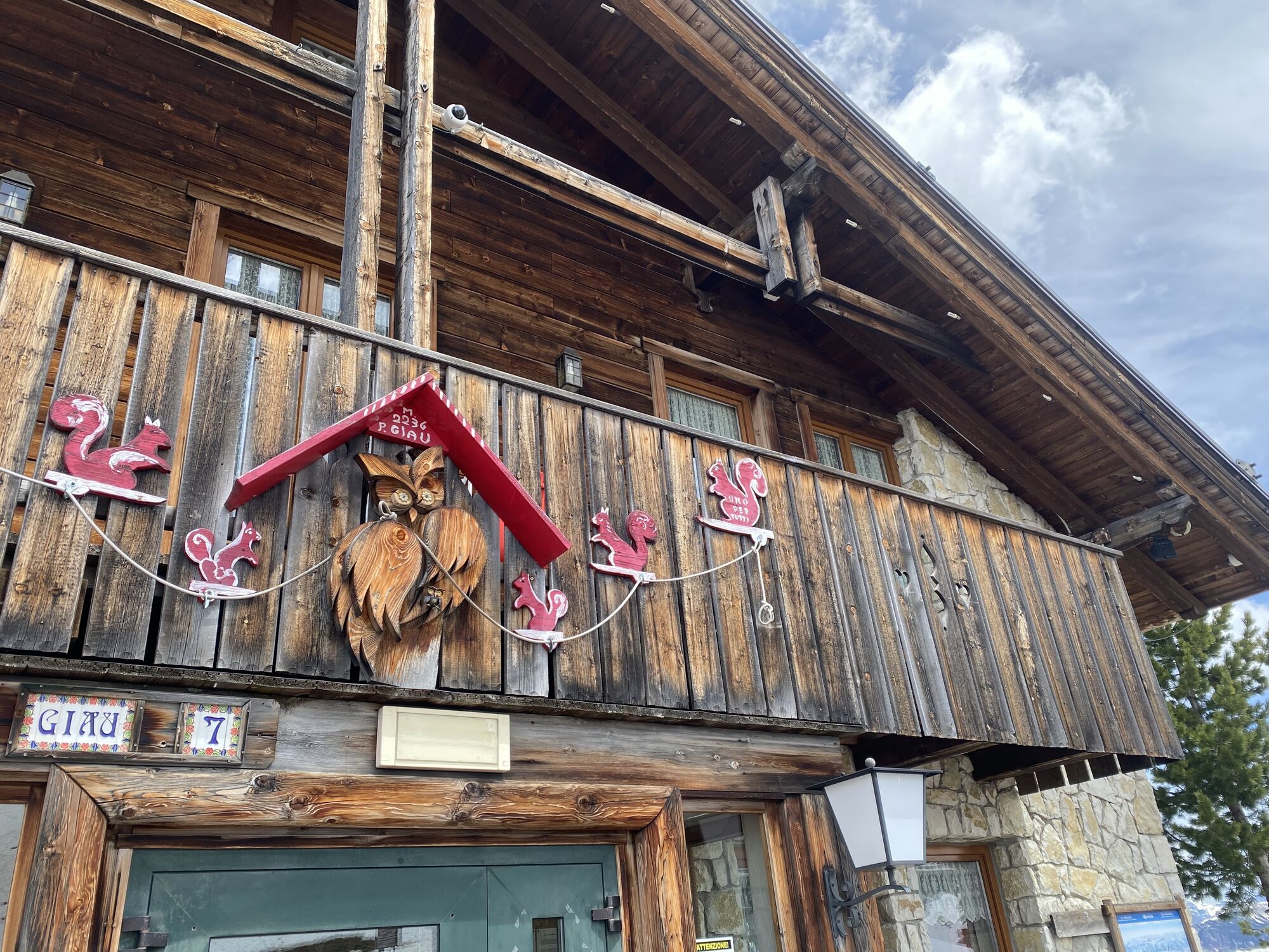
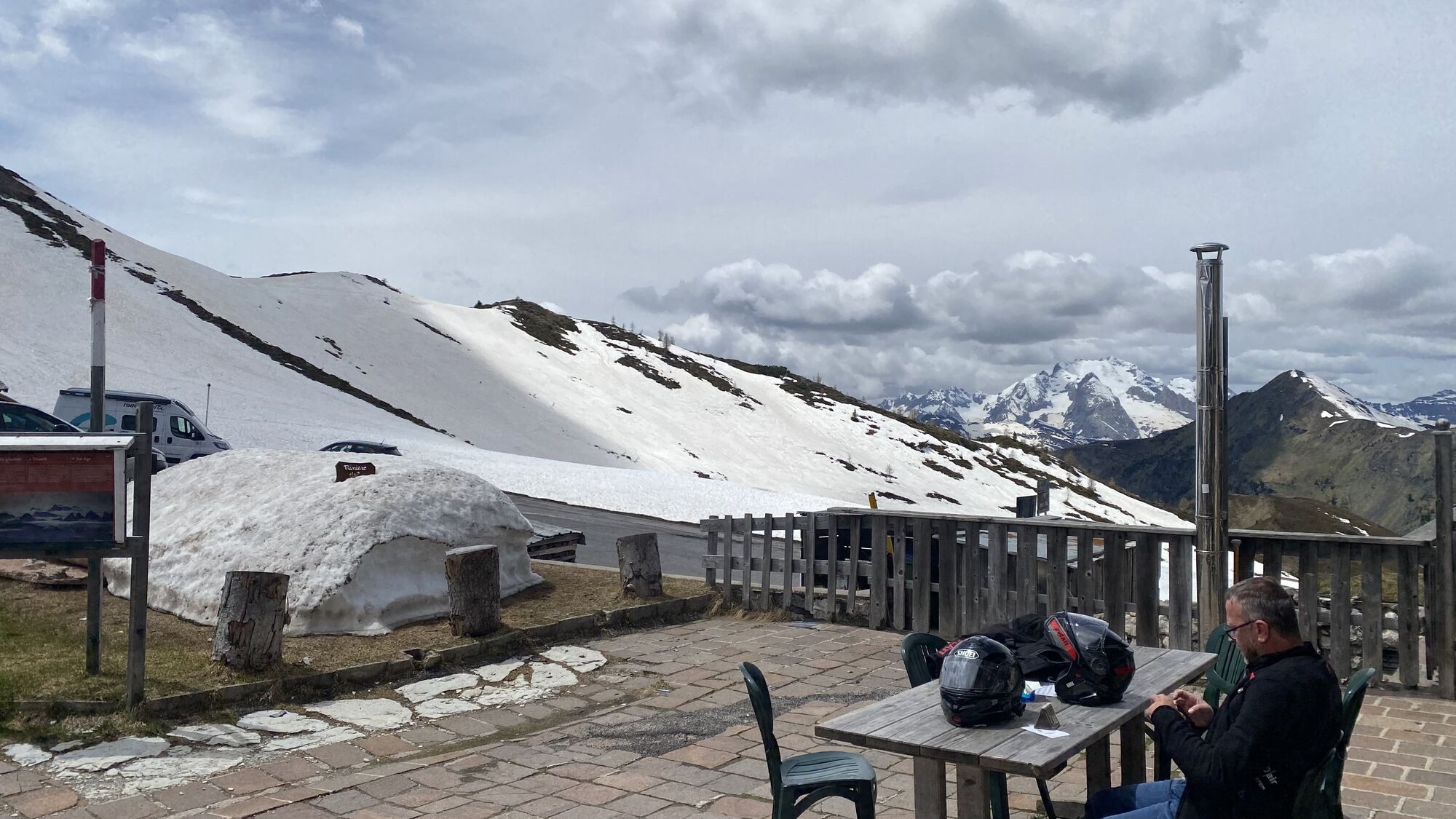
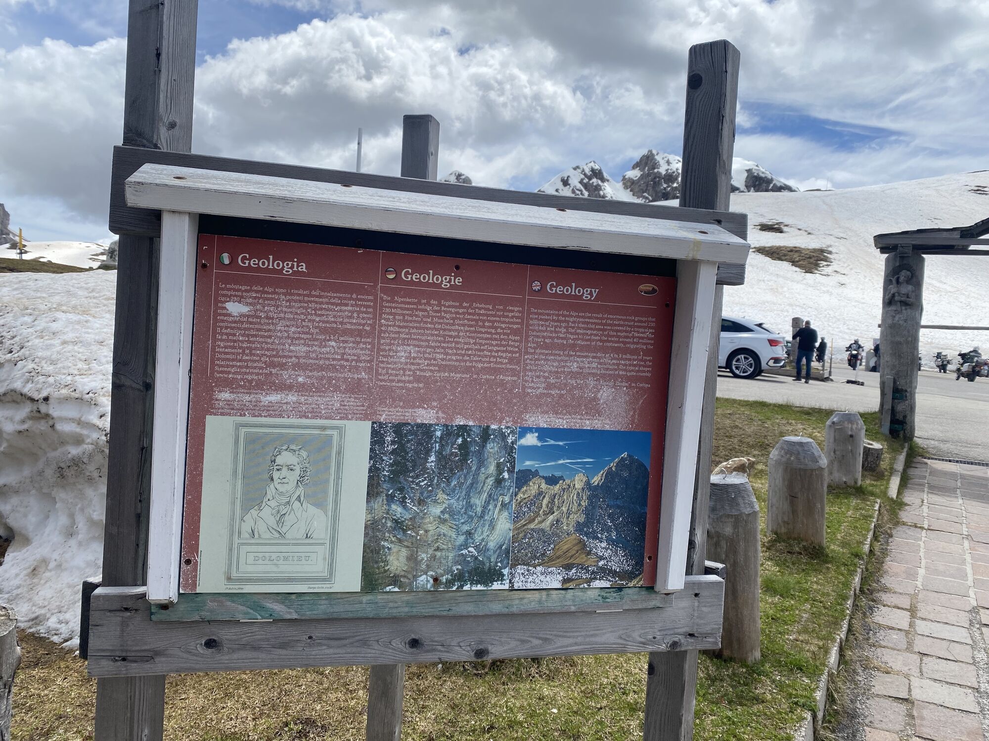
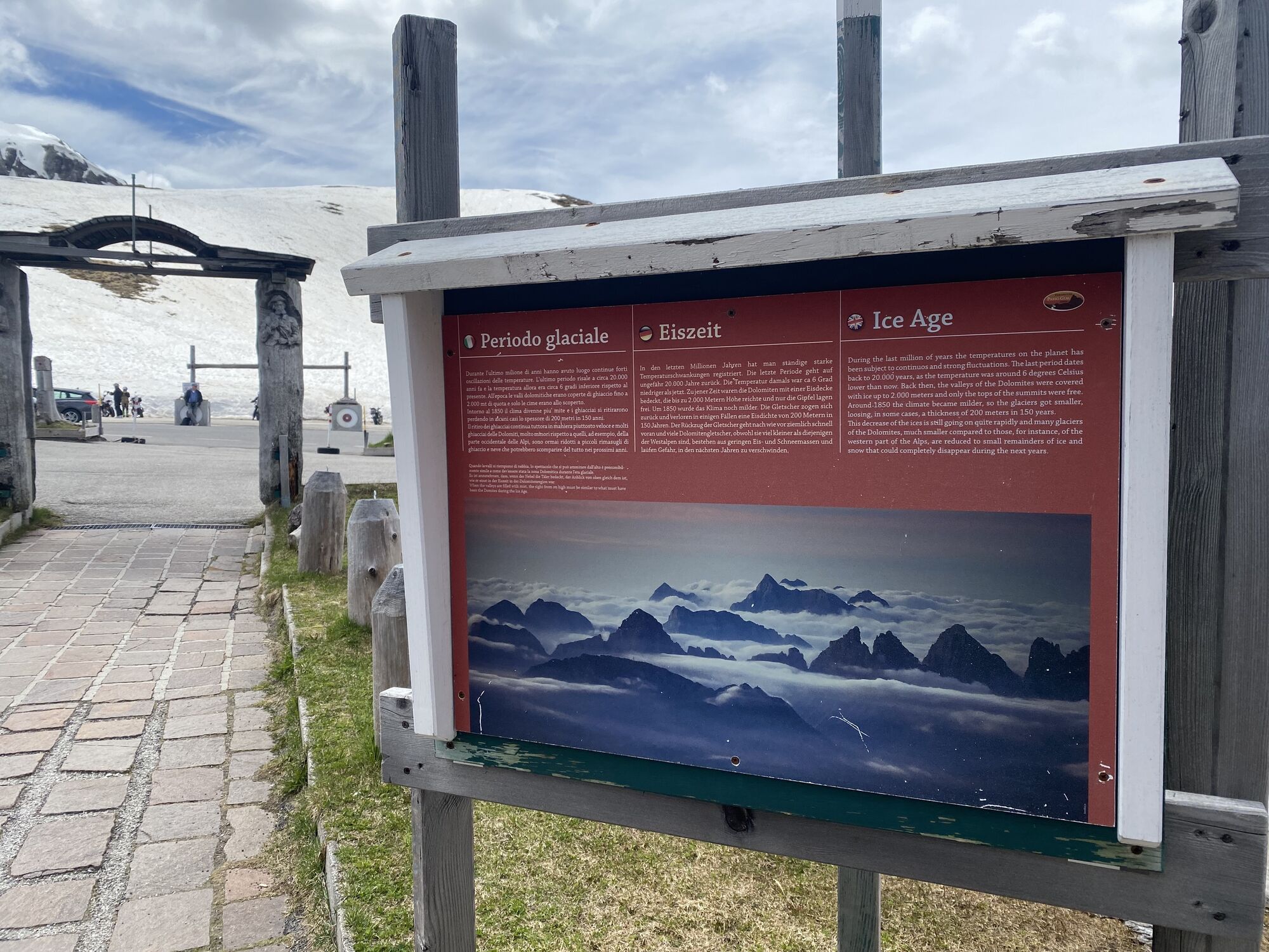
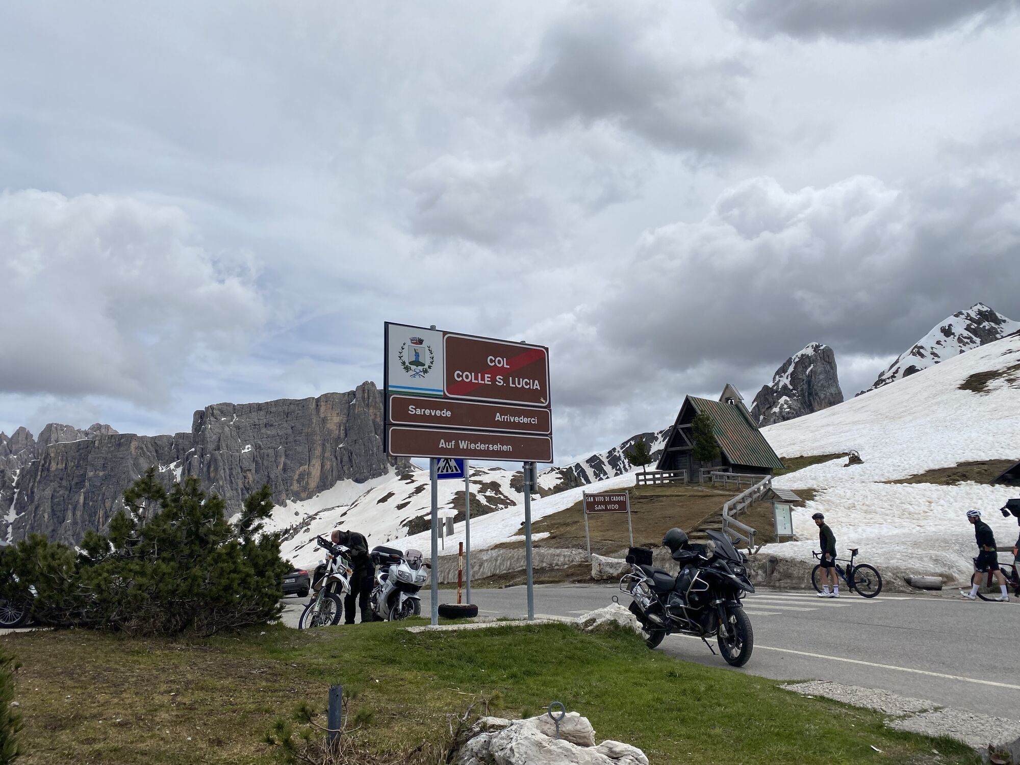
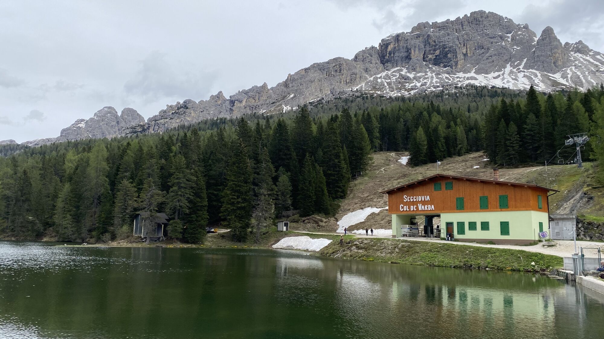
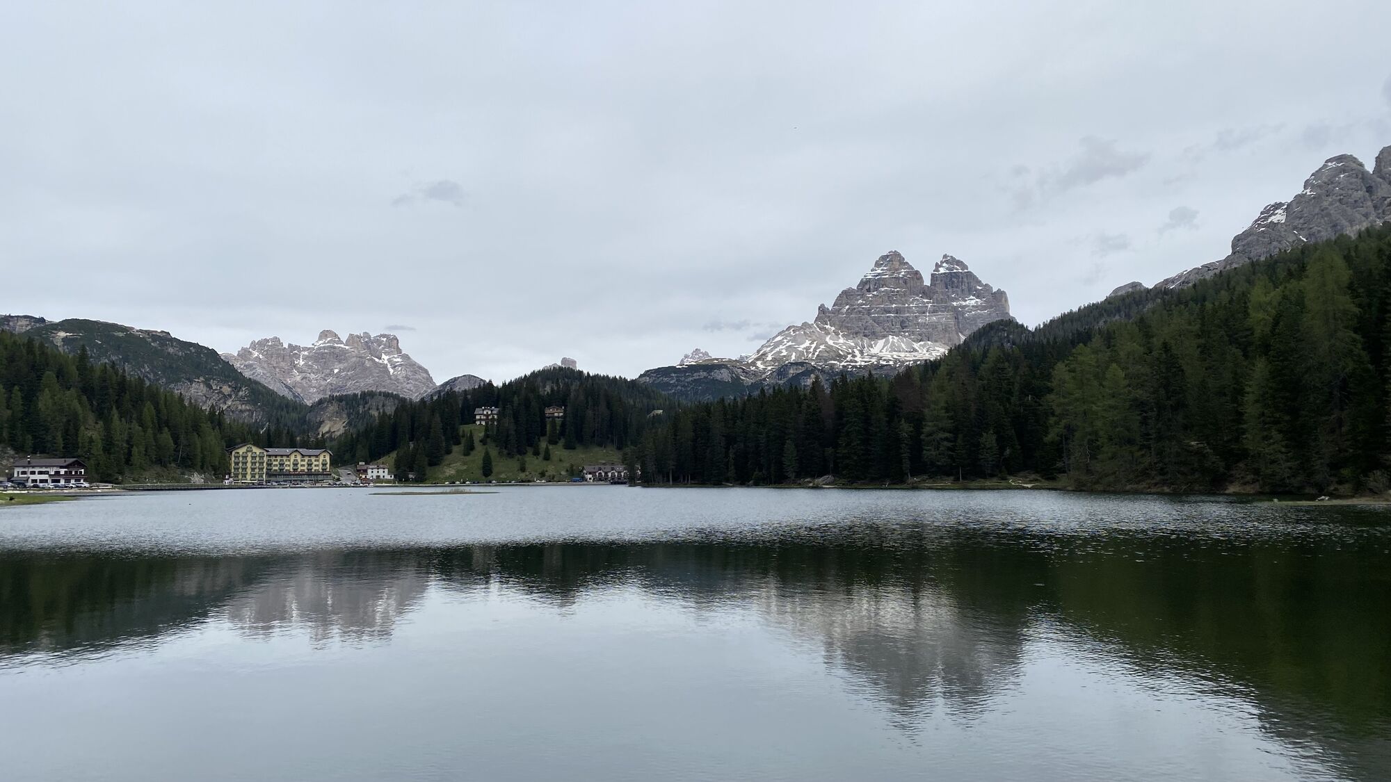
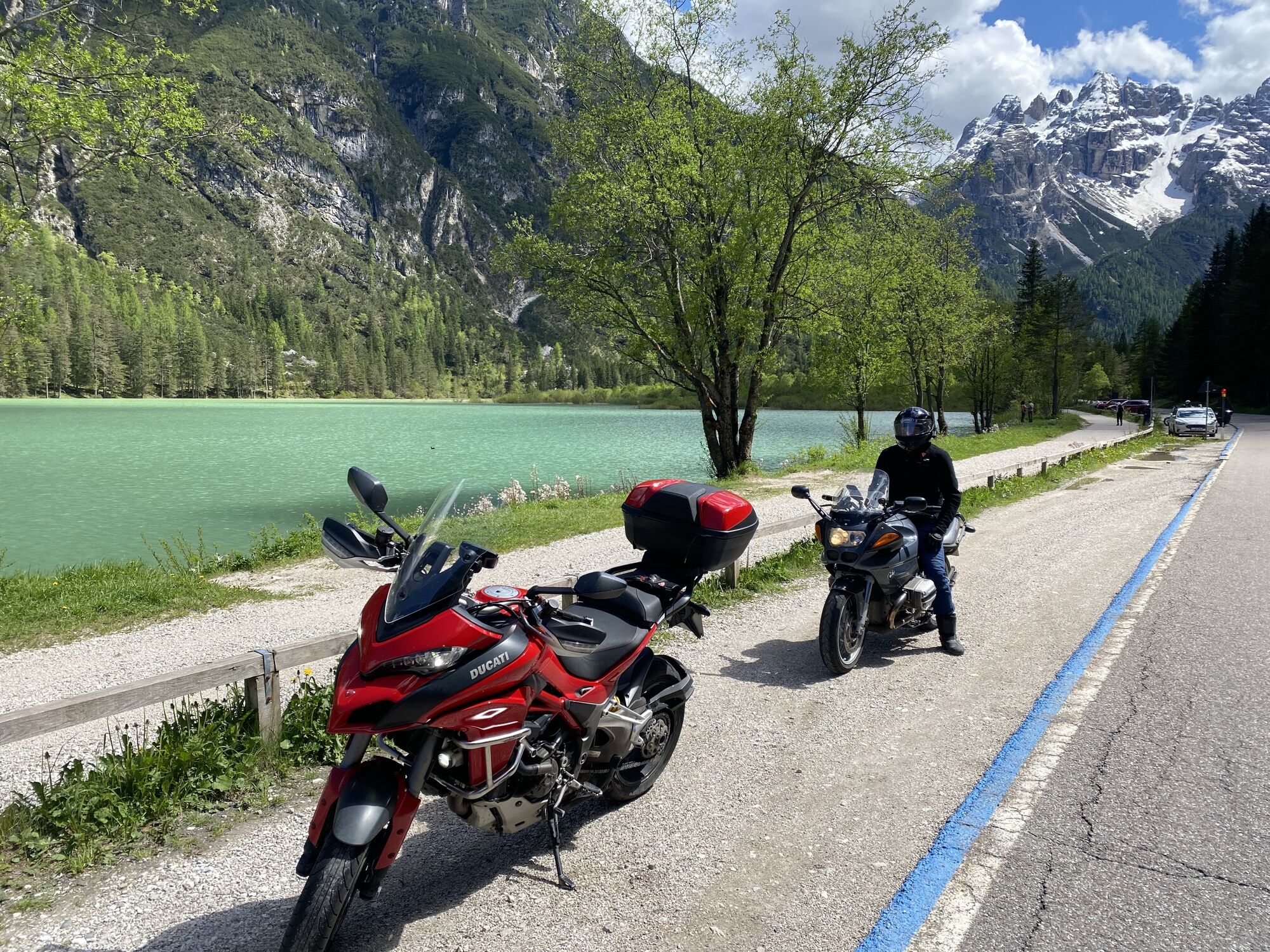
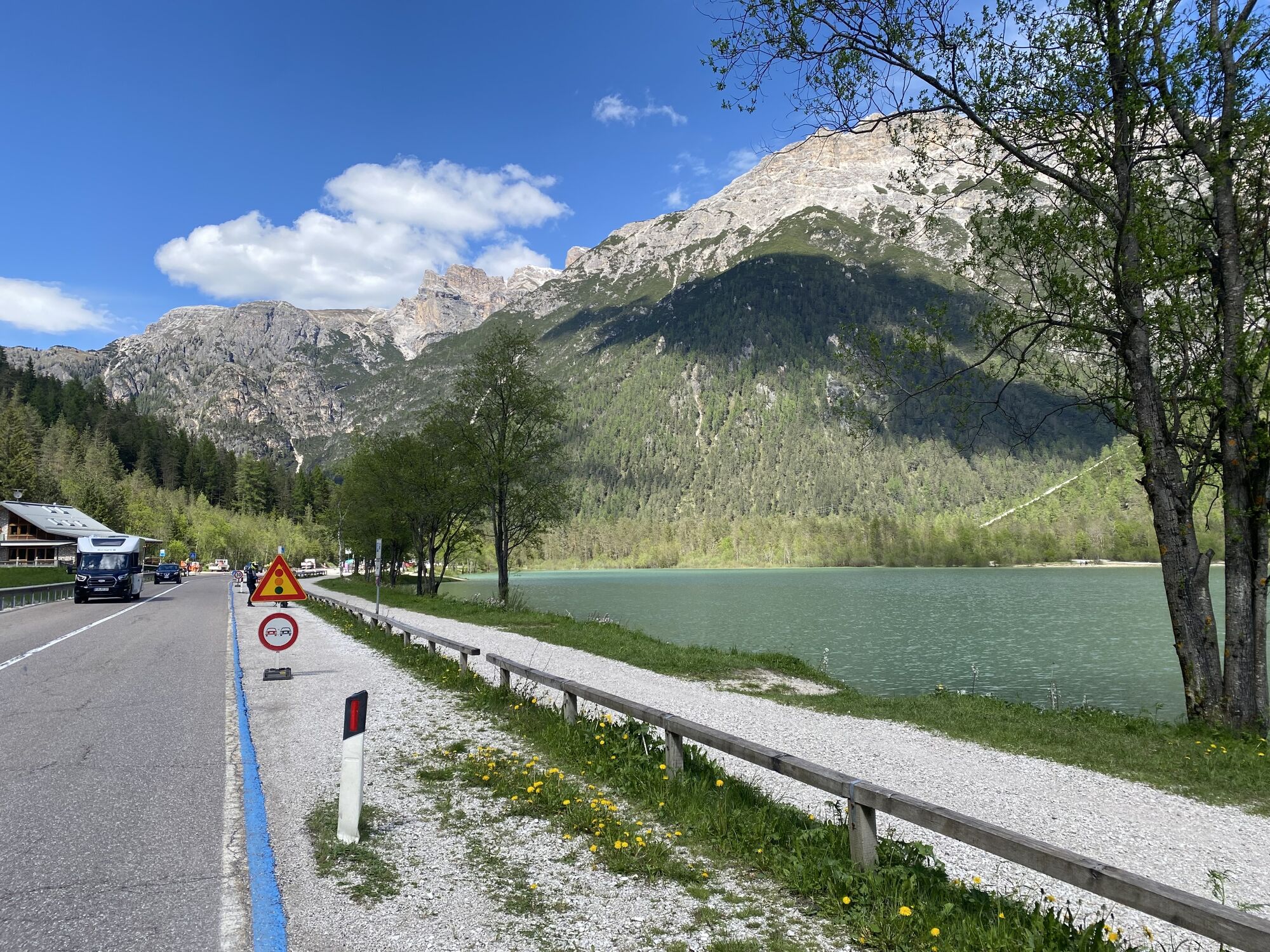
Fotos unserer User
 © Frank RIBEZZOErstellt am 12.09.2023
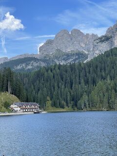 © Frank RIBEZZOErstellt am 12.09.2023
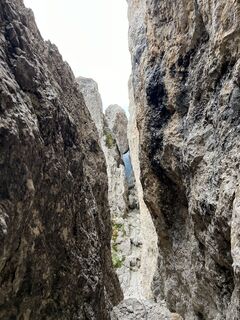
 © berendoenemaErstellt am 25.09.2024
 © Zsolt OsztianErstellt am 17.08.2024
 © Nina WolfErstellt am 09.07.2024
 © Nina WolfErstellt am 09.07.2024
 © Nina WolfErstellt am 09.07.2024
 © Nina WolfErstellt am 08.07.2024
 © Nina WolfErstellt am 08.07.2024
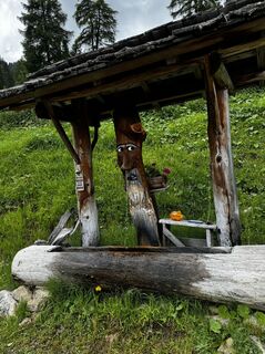 © Nina WolfErstellt am 08.07.2024
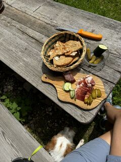 © Nina WolfErstellt am 08.07.2024
 © Nina WolfErstellt am 08.07.2024
 © Nina WolfErstellt am 08.07.2024
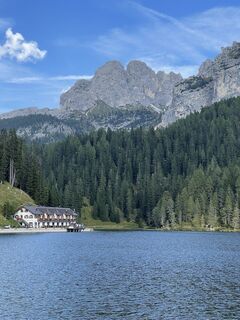 © Frank RIBEZZOErstellt am 12.09.2023
 © Frank RIBEZZOErstellt am 12.09.2023
 © Frank RIBEZZOErstellt am 12.09.2023
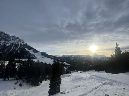
 © GipfelspeziErstellt am 03.02.2023
 © GipfelspeziErstellt am 28.01.2023


Wegverlauf
Mutter vom guten Rat Kirche
(1.284 m)
Andachtsstätte
7,0 km
St. Martin in Thurn
(1.127 m)
Dorf
21,1 km
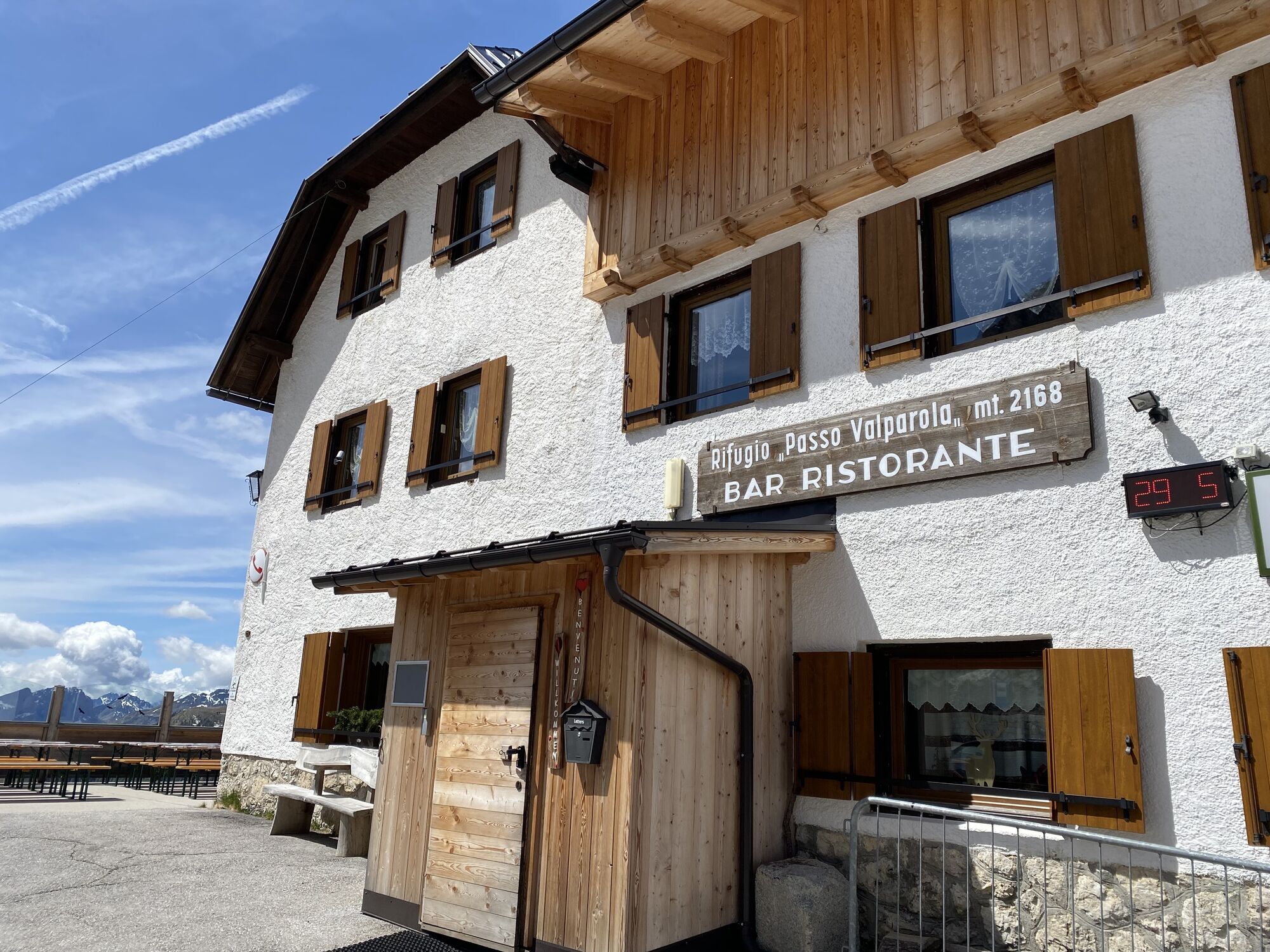
Rifugio "Passo Valparola"
(2.169 m)
Schutzhütte
47,5 km
Cernadoi
(1.518 m)
Siedlung
59,2 km
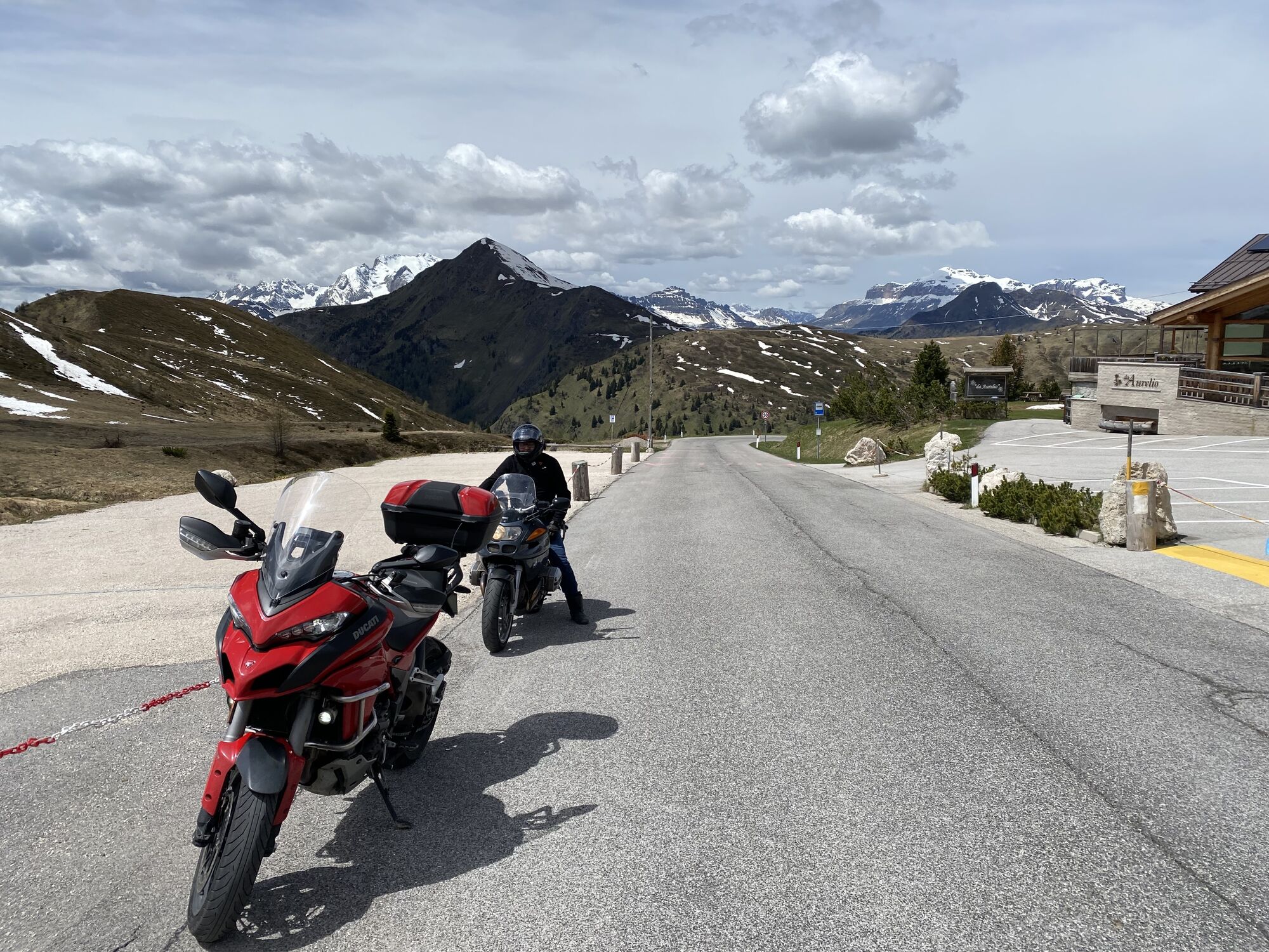
Rifugio Piezza - Da Aurelio
(2.156 m)
Schutzhütte
87,0 km
Kapelle Landro
(1.401 m)
Andachtsstätte
129,3 km
St. Wolfgang
(1.360 m)
Andachtsstätte
162,8 km
Wegverlauf
Col S.Lucia, Trentino-Alto Adige/Südtirol/Italia starting Hotel Kristall Geiselsberg
mittel
Motorrad
163,38
km
Furcia Center
(1.739 m)
Restaurant
0,5 km
Les Ciase
(1.526 m)
Siedlung
2,2 km
Costamesana
(1.523 m)
Siedlung
2,9 km
Rü
(1.445 m)
Siedlung
3,4 km
Enneberg Pfarre
(1.284 m)
Dorf
7,0 km
Mutter vom guten Rat Kirche
(1.284 m)
Andachtsstätte
7,0 km
Brach
(1.304 m)
Siedlung
7,8 km
Alnei
(1.246 m)
Siedlung
9,1 km
Ciaselles
(1.364 m)
Siedlung
9,2 km
Plisa
(1.274 m)
Siedlung
9,8 km
Plisa
(1.274 m)
Siedlung
13,2 km
Posta
(1.014 m)
Restaurant
15,7 km
Zwischenwasser
(1.005 m)
Siedlung
15,7 km
Gader
(1.013 m)
Restaurant
15,8 km
Pikolein
(1.113 m)
Siedlung
20,4 km
St. Martin in Thurn
(1.127 m)
Dorf
21,1 km
Ronciaducia
(1.104 m)
Siedlung
21,6 km
Lovara
(1.101 m)
Siedlung
22,3 km
Preromang
(1.100 m)
Siedlung
22,5 km
Pastrogn
(1.174 m)
Siedlung
23,2 km
Pederoa
(1.152 m)
Siedlung
24,8 km
Sotciastel
(1.390 m)
Siedlung
29,0 km
Puntac
(1.329 m)
Siedlung
30,4 km
Abtei
(1.327 m)
Dorf
31,1 km
Pedratsches
(1.383 m)
Stadtviertel
31,1 km
Ciaminades
(1.365 m)
Siedlung
31,8 km
Sompunt
(1.381 m)
Siedlung
32,9 km
Ninz
(1.431 m)
Siedlung
34,0 km
Villa Nöia
(1.419 m)
Siedlung
34,1 km
Altin
(1.405 m)
Siedlung
34,7 km
Sotcianins
(1.416 m)
Siedlung
34,9 km
Costadedoi
(1.506 m)
Siedlung
36,5 km
St. Kassian
(1.537 m)
Dorf
37,5 km
Salotta
(1.545 m)
Siedlung
37,9 km
La Sieia
(1.532 m)
Restaurant
38,0 km
Plan
(1.560 m)
Siedlung
38,2 km
Col Bedoi
(1.641 m)
Siedlung
39,2 km
Armentarola
(1.611 m)
Siedlung
39,6 km
Centro Fondo
(1.655 m)
Restaurant
40,9 km
Sciaré
(1.647 m)
Siedlung
41,1 km
Rifugio "Passo Valparola"
(2.169 m)
Schutzhütte
47,5 km
Funivia Lagazuoi
(2.105 m)
Gondelstation
49,8 km
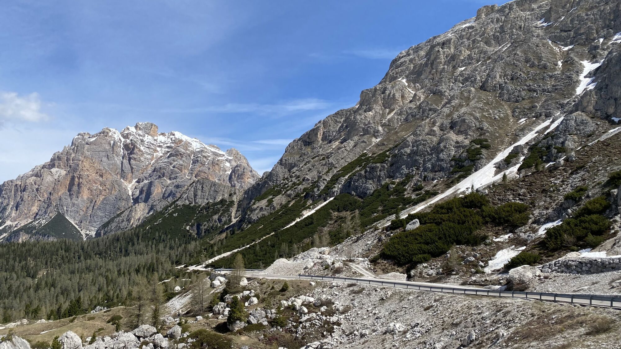
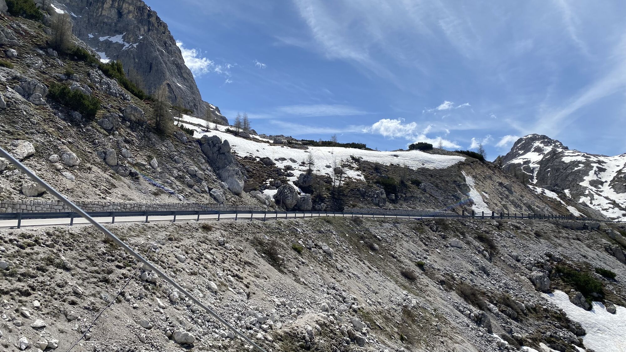
Passo Falzarego
(2.108 m)
Siedlung
49,8 km
Pian 1.935 m
(1.917 m)
Flur/Gelände
52,7 km
Ponte dei Piagn
(1.838 m)
Flur/Gelände
54,0 km
La Merla
(1.806 m)
Flur/Gelände
54,4 km
La Baita
(1.608 m)
Restaurant
57,7 km
Cernadoi
(1.518 m)
Siedlung
59,2 km
Andraz
(1.403 m)
Siedlung
60,5 km
Pian di Salesei
(1.180 m)
Siedlung
65,4 km
Digonera
(1.164 m)
Siedlung
66,4 km
Sopracordevole
(1.182 m)
Siedlung
68,5 km
La Murada
(1.053 m)
Restaurant
70,3 km
Rocca Pietore
(1.142 m)
Dorf
70,4 km
Savinèr di Laste
(1.010 m)
Siedlung
71,1 km
Caprile
(1.014 m)
Dorf
71,9 km
Fiorentina
(1.240 m)
Siedlung
75,9 km
Salator
(1.270 m)
Stadtviertel
76,8 km
Villa
(1.309 m)
Stadtviertel
77,3 km
Fopa
(1.297 m)
Stadtviertel
77,3 km
San Lorenzo
(1.336 m)
Andachtsstätte
77,4 km
Selva di Cadore
(1.335 m)
Dorf
77,5 km
Codalonga
(1.269 m)
Siedlung
77,9 km
Insom le Crepe
(1.734 m)
Flur/Gelände
82,8 km
Rifugio Piezza - Da Aurelio
(2.156 m)
Schutzhütte
87,0 km
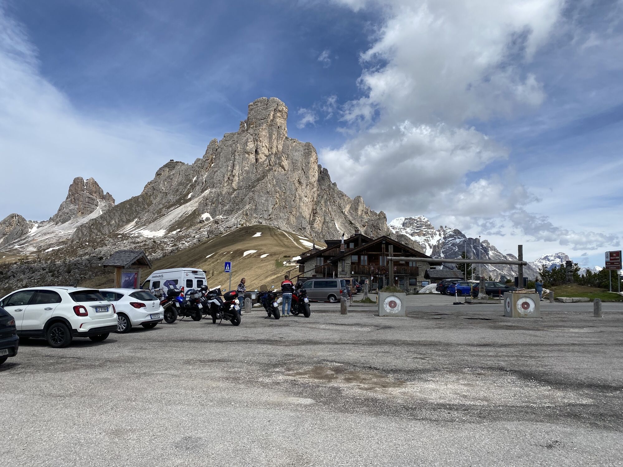
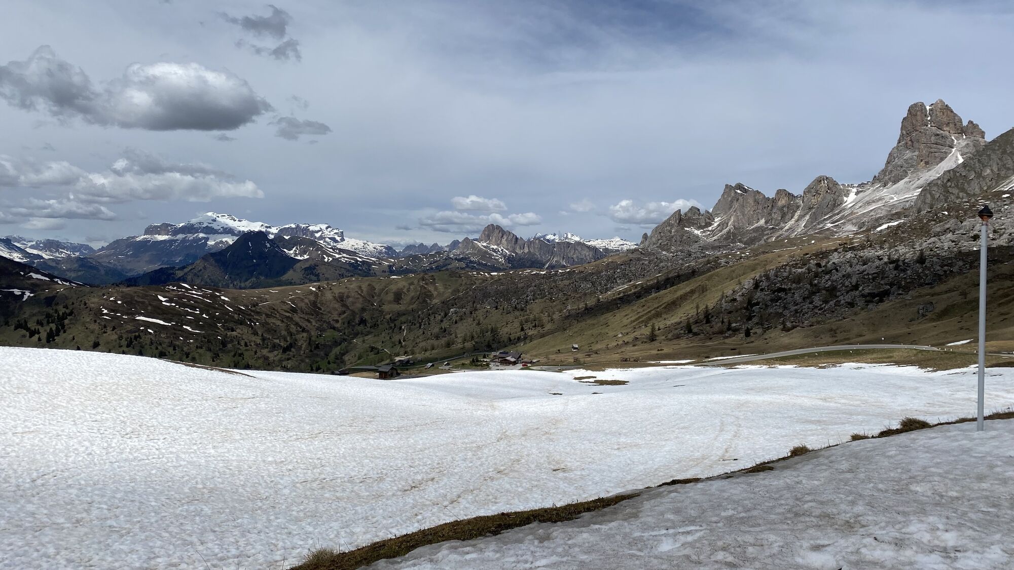
Passo Giau
(2.236 m)
Aussichtspunkt
87,8 km
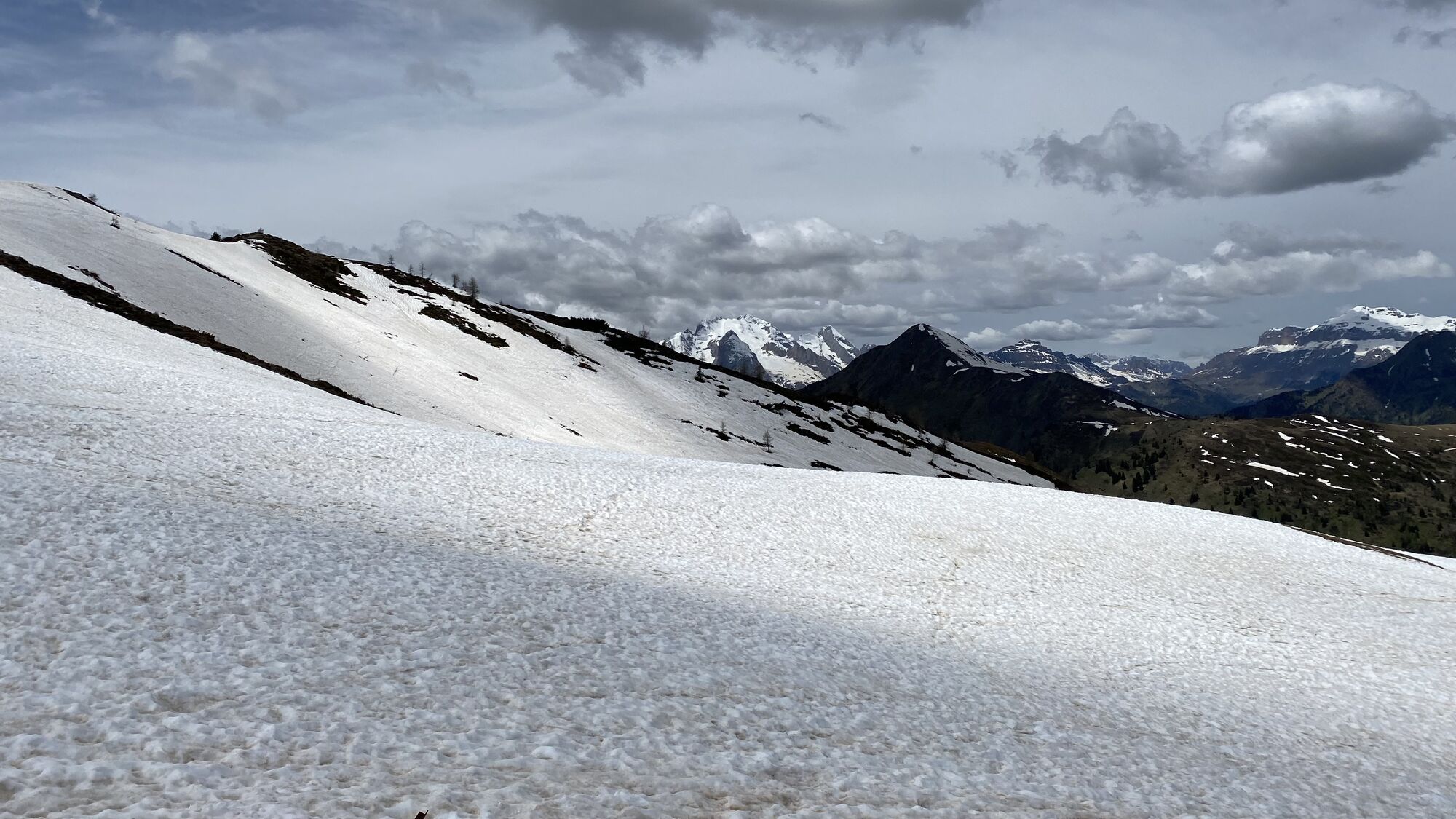
Muraglia del Giau
(1.857 m)
Flur/Gelände
92,5 km
Drone Viewpoint
(1.761 m)
Aussichtspunkt
93,5 km
Ristorante Bar
(1.529 m)
Restaurant
98,7 km
Pocol
(1.536 m)
Siedlung
98,8 km
Val di Sopra
(1.262 m)
Siedlung
102,3 km
Gilardon
(1.318 m)
Siedlung
102,5 km
Val di Sotto
(1.209 m)
Siedlung
103,1 km
Crignes
(1.223 m)
Siedlung
103,4 km
Chiesa della Madonna della Difesa
(1.187 m)
Andachtsstätte
104,4 km
Cortina d'Ampezzo
(1.218 m)
Stadt
105,3 km
Alverà
(1.328 m)
Siedlung
106,8 km
Lago Scin
(1.481 m)
Siedlung
108,7 km
Ristorante Lago Scin
(1.482 m)
Restaurant
108,8 km
Rio Gere
(1.685 m)
Restaurant
111,7 km
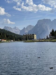
Misurina
(1.747 m)
Siedlung
119,1 km
Pizzeria Edelweiss
(1.751 m)
Restaurant
119,7 km
Malga Popena
(1.623 m)
Restaurant
123,0 km
Schluderbach
(1.432 m)
Siedlung
126,5 km
Dürrensee
(1.410 m)
Restaurant
128,2 km
Drei Zinnen Blick
(1.404 m)
Aussichtspunkt
129,1 km
Drei Zinnenblick
(1.402 m)
Restaurant
129,2 km
Kapelle Landro
(1.401 m)
Andachtsstätte
129,3 km
Säge
(1.209 m)
Flur/Gelände
139,3 km
Baita
(1.174 m)
Restaurant
141,8 km
Pizzeria Samyr
(1.174 m)
Restaurant
141,9 km
Niederdorf
(1.154 m)
Dorf
143,8 km
Spitalkirche
(1.147 m)
Andachtsstätte
143,8 km
Welsberg-Gsies
(1.090 m)
Bahnhof
148,9 km
Welsberg
(1.087 m)
Dorf
149,5 km
Alte Goste
(1.088 m)
Restaurant
154,1 km
Antoniusstöckl
(1.013 m)
Andachtsstätte
156,0 km
Hotel Dolomitenhof
(1.006 m)
Restaurant
156,5 km
Mitterolang
(1.042 m)
Dorf
158,0 km
Olang
(1.050 m)
Dorf
158,2 km
Mühlbach
(1.063 m)
Siedlung
159,0 km
Gassl
(1.154 m)
Siedlung
160,4 km
St. Wolfgang
(1.360 m)
Andachtsstätte
162,8 km
Geiselsberg
(1.382 m)
Siedlung
163,3 km
Bewertungen
1 Kommentar
Jurgen Amelinckx
30. Mai. 2024
We did it and it was super experience!
Beliebte Touren in der Nähe
- 4,6
Lago di Sorapis
mittelBergwandern13,6 km - 4,8
Rund um den Schwarzberg in die Bergwelt vom Pragser Wildsee
mittelWanderung9,59 km - 4,6
Rund um den Seekofel
schwerWanderung16,6 km - 4,7
Lago di sorapis
mittelWanderung11,8 km - 4,7
Pragser Wildsee
mittelWanderung10,2 km - 5,0
Plätzwiese
mittelWanderung11,2 km - 4,7
Passo Giau roundtrip
mittelWanderung8,10 km - 4,8
Lago del Sorapis Rundweg
mittelWanderung14,4 km - 4,9
Dolomiten - Seekofel 2.810m - Tiefblick zum See
mittelBergwandern23,5 km - 4,6
Giovanni Barbara (A/B) Klettersteig
leichtKlettersteig6,16 km

Wandern & Tracking

Über 550.000 Tourenvorschläge, detailliertes Kartenmaterial und ein intuitiver Routenplaner machen die App zum Must-have für alle Naturbegeisterten.

Verpasse keine Angebote und Inspirationen für deinen nächsten Urlaub
Zum Newsletter anmelden
Fehler
Ein Fehler ist aufgetreten. Bitte versuche es erneut.Vielen Dank für deine Anmeldung
Deine E-Mail-Adresse wurde in den Verteiler eingetragen.
Touren in ganz Europa
Österreich Schweiz Deutschland Italien Slowenien Frankreich Niederlande Belgien Polen Liechtenstein Tschechien Slowakei Spanien Kroatien Bosnien und Herzegowina Luxemburg Andorra Portugal Island Vereinigtes Königreich Irland Griechenland Albanien Nordmazedonien Malta Norwegen Montenegro Moldau Kosovo Ungarn San Marino Rumänien Estland Lettland Belarus Zypern Litauen Serbien Bulgarien Monaco Dänemark Schweden Finnland