


GTA: Stage 59 Sambuco - Frazione Strepeis di Vinadio


From the centre of Sambuco you take the road that connects with the state road of Colle della Maddalena upstream of the village. After crossing the state road, take a side road that descends to cross the...
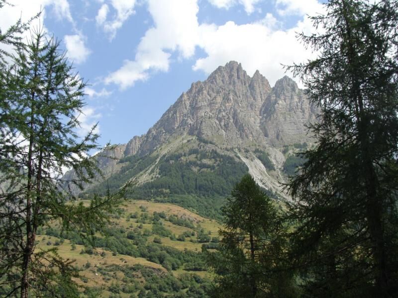
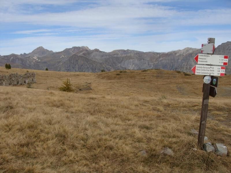
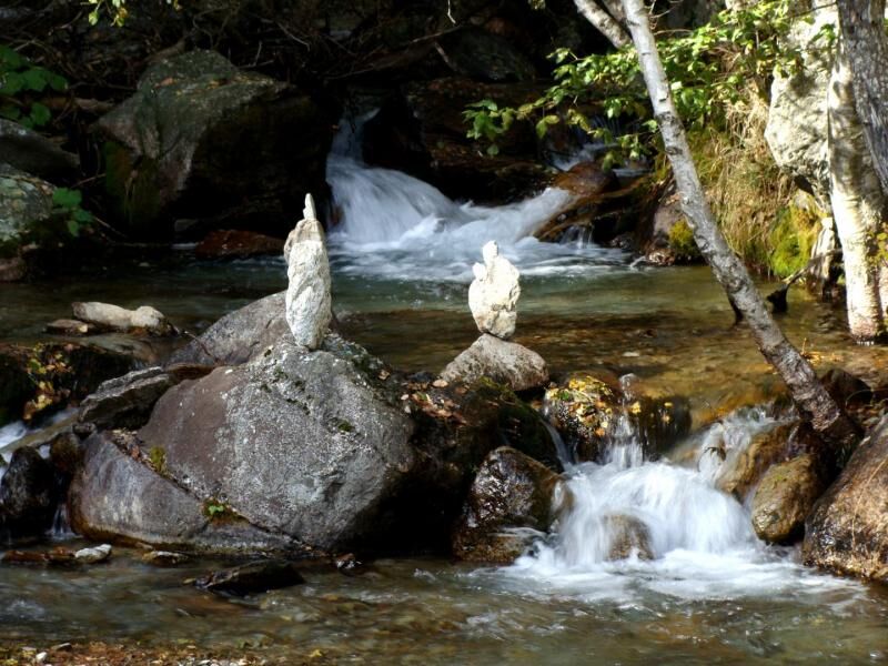
From the centre of Sambuco you take the road that connects with the state road of Colle della Maddalena upstream of the village. After crossing the state road, take a side road that descends to cross the Stura di Demonte and, after a few dozen metres, you will come to a fork and follow the signs for the P56 route on the left with directions to Monte Vaccia - Bagni di Vinadio. The path climbs with wide hairpin bends in the coniferous wood, intercepting some forest tracks until you reach an aqueduct at an altitude of 1520 metres. From here the path bends to the left and begins a long gradual hillside climb inside the coniferous wood, sometimes made difficult by fallen trees along the track. At an altitude of about 1700 you will find an isolated place with signs for Bagni di Vinadio and you follow the path that bends to the south and climbs the steep slope with narrow turns along a watershed. When you reach the head of the small valley you turn east and with a short rocky crossing you first cross a ridge and with a short diagonal stretch you reach the ruins of the shelter of Monte Vaccia (2243 m). Leaving the fork on the right with the P25 path to Colletta Bernarda, you start to descend on the slope of Bagni di Vinadio along a steep slope with dense conifer reforestation. After passing the village of Luca (1585 m) you go down the lower part of the slope until you cross the Vallone Ischiator stream by means of a wooden bridge. From here a short stretch of dirt road connects to the road that goes up the valley in correspondence with the first houses of Besmorello. Go downhill on the left and, at the end of the hamlet, take the path on the left that cuts a wide hairpin bend of the asphalt road and leads directly to the first houses of Bagni di Vinadio. Instead of going straight down towards the square, turn right where a transversal downhill stretch leads to the valley floor of the Vallone dei Bagni a few hundred metres from the hamlet of Strepeis, where the stop-off point is located.

Beliebte Touren in der Nähe
Gardetta Fahrrad Emotionen
mittelMountainbike13,5 kmLes lacs de vens
mittelWanderung18,9 kmAcceglio, bric boscasso
mittelSkitour12,1 km- 5,0
Goldtoni - Alpenbogen A109 Sambuco-Ruata Valle (Stroppo)
mittelFernwanderweg36,8 km - 5,0
Goldtoni - Alpenbogen A107 Refugio Malinvern-Strepeis
mittelFernwanderweg25,9 km - 5,0
Goldtoni - Alpenbogen A108 Strepeis-Sambuco
mittelFernwanderweg16,1 km Discovering the Natura 2000 site "Site à Chauves-souris de la Haute-Tinée" - from St Etienne de Tinée (sporty level)
mittelWanderung7,43 km- 1,0
Durch das Valle di rio freddo
mittelWanderung15,7 km San Giacomo-Colle Valcavera
mittelRennrad13,2 km- 5,0
Rocca le Meja - Valle Maira
schwerHochtour19,8 km

Wandern & Tracking


Verpasse keine Angebote und Inspirationen für deinen nächsten Urlaub
Deine E-Mail-Adresse wurde in den Verteiler eingetragen.